| Parent directory/ | - | - |
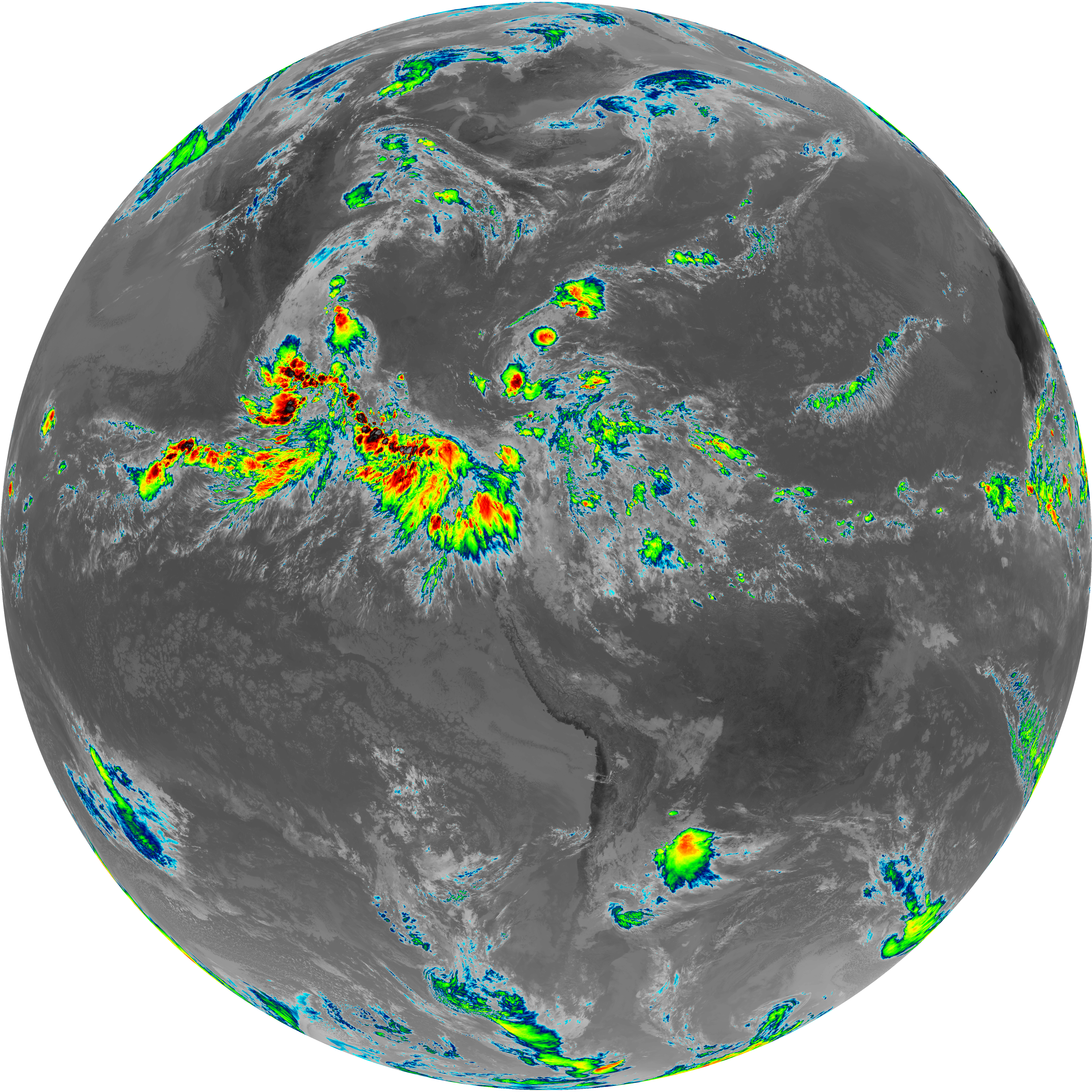
| G19_13_20260607T150021Z.png | 10577474 | 2026-Jun-07 15:16 |
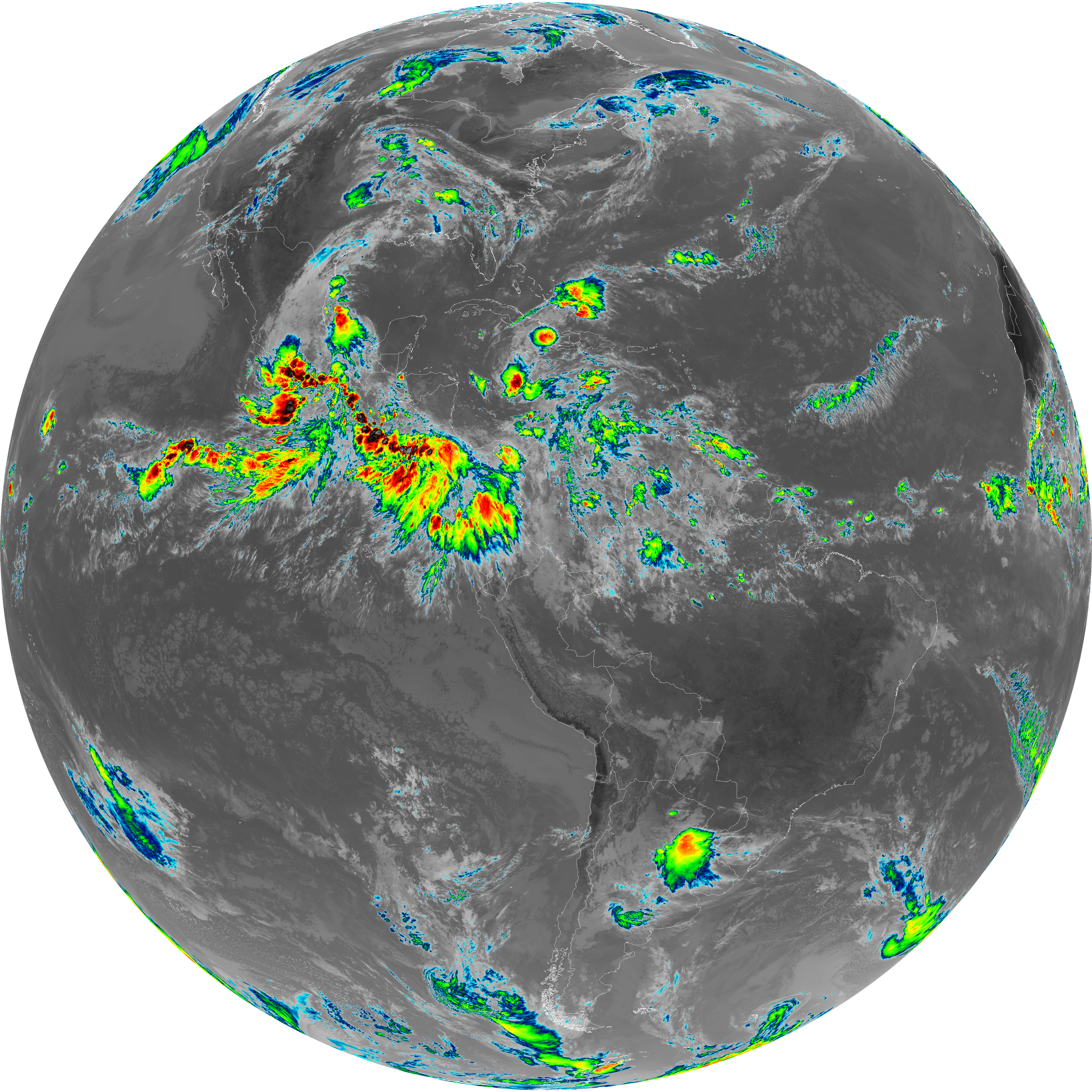
| G19_14_20260607T150021Z.png | 10711419 | 2026-Jun-07 15:28 |
| G19_15_20260607T150021Z.png | 8673773 | 2026-Jun-07 15:58 |
| G19_2_20260607T150021Z.png | 15458260 | 2026-Jun-07 15:22 |
| G19_7_20260607T150021Z.png | 10212798 | 2026-Jun-07 15:13 |
| G19_8_20260607T150021Z.png | 5722390 | 2026-Jun-07 15:24 |
| G19_9_20260607T150021Z.png | 6579064 | 2026-Jun-07 15:26 |
| abi_rgb_Clean_Longwave_IR_Window_Band.png | 14165917 | 2026-Jun-07 15:17 |
| abi_rgb_Clean_Longwave_IR_Window_Band_map.png | 14198551 | 2026-Jun-07 15:17 |
| abi_rgb_Dirty_Longwave_Window.png | 11681302 | 2026-Jun-07 15:59 |
| abi_rgb_Dirty_Longwave_Window_-_CIRA.png | 10286182 | 2026-Jun-07 15:59 |
| abi_rgb_Dirty_Longwave_Window_-_CIRA_map.png | 10369155 | 2026-Jun-07 15:59 |
| abi_rgb_Dirty_Longwave_Window_map.png | 11747629 | 2026-Jun-07 15:59 |
| abi_rgb_Infrared_Longwave_Window_Band.png | 14325526 | 2026-Jun-07 15:29 |
| abi_rgb_Infrared_Longwave_Window_Band_map.png | 14357326 | 2026-Jun-07 15:29 |
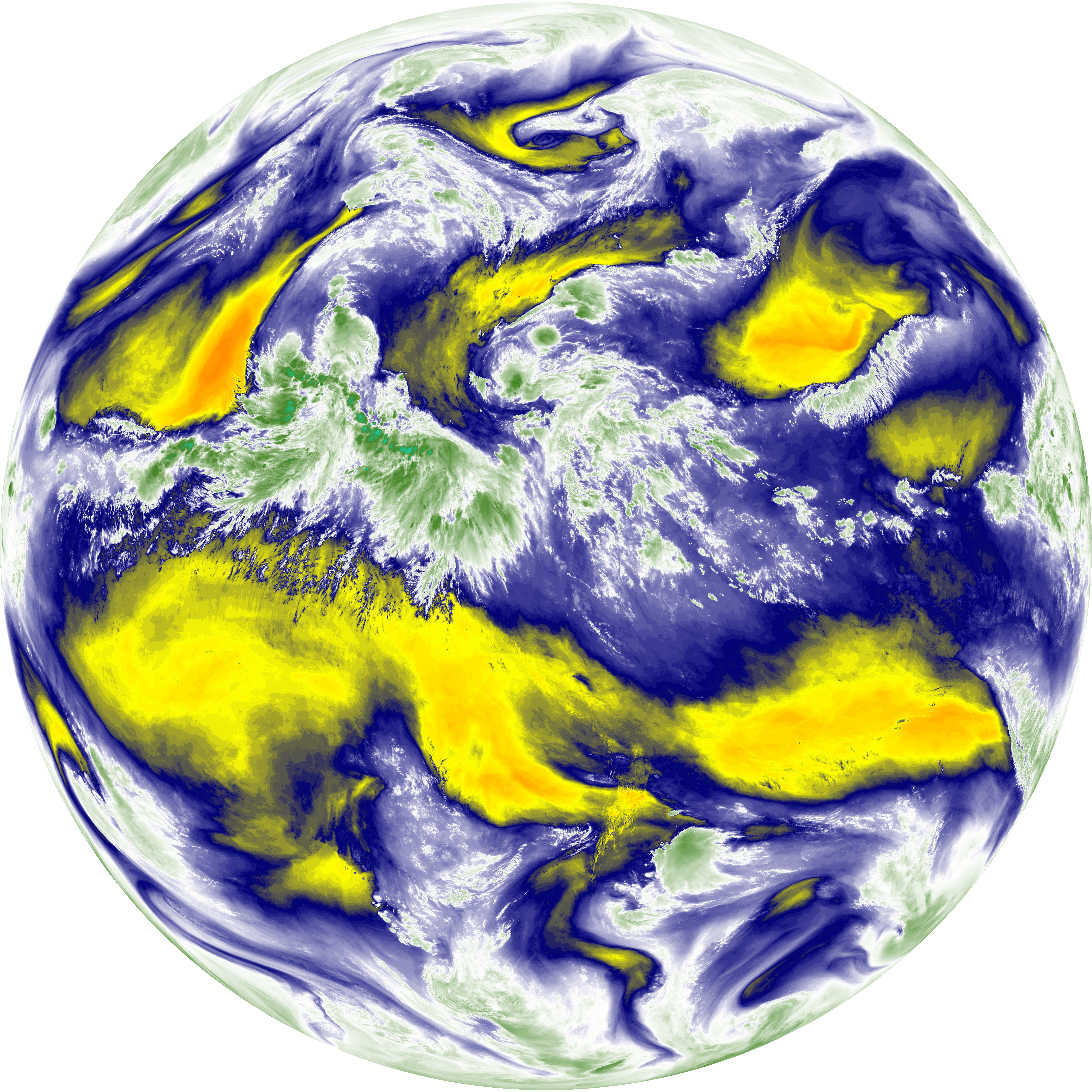
| abi_rgb_Mid-level_Tropospheric_Water_Vapor.png | 8816574 | 2026-Jun-07 15:26 |
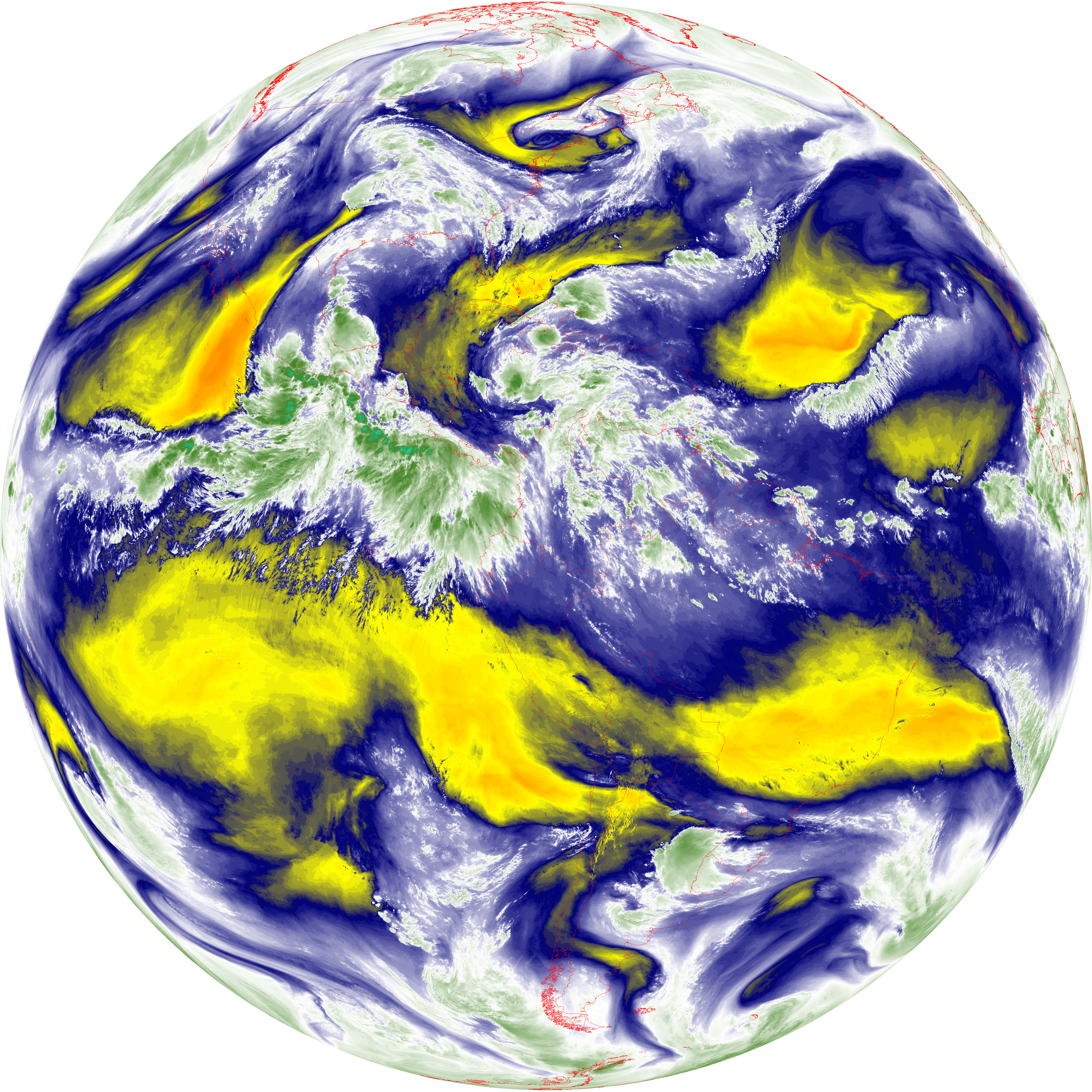
| abi_rgb_Mid-level_Tropospheric_Water_Vapor_map.png | 8916003 | 2026-Jun-07 15:26 |
| abi_rgb_Shortwave_Window_Band.png | 13965094 | 2026-Jun-07 15:14 |
| abi_rgb_Shortwave_Window_Band_map.png | 14016298 | 2026-Jun-07 15:14 |
| abi_rgb_Upper-Level_Tropospheric_Water_Vapor.png | 7621181 | 2026-Jun-07 15:24 |
| abi_rgb_Upper-Level_Tropospheric_Water_Vapor_map.png | 7731278 | 2026-Jun-07 15:24 |