| Parent directory/ | - | - |
| G19_7_20260607T153021Z.png | 10304333 | 2026-Jun-07 15:43 |
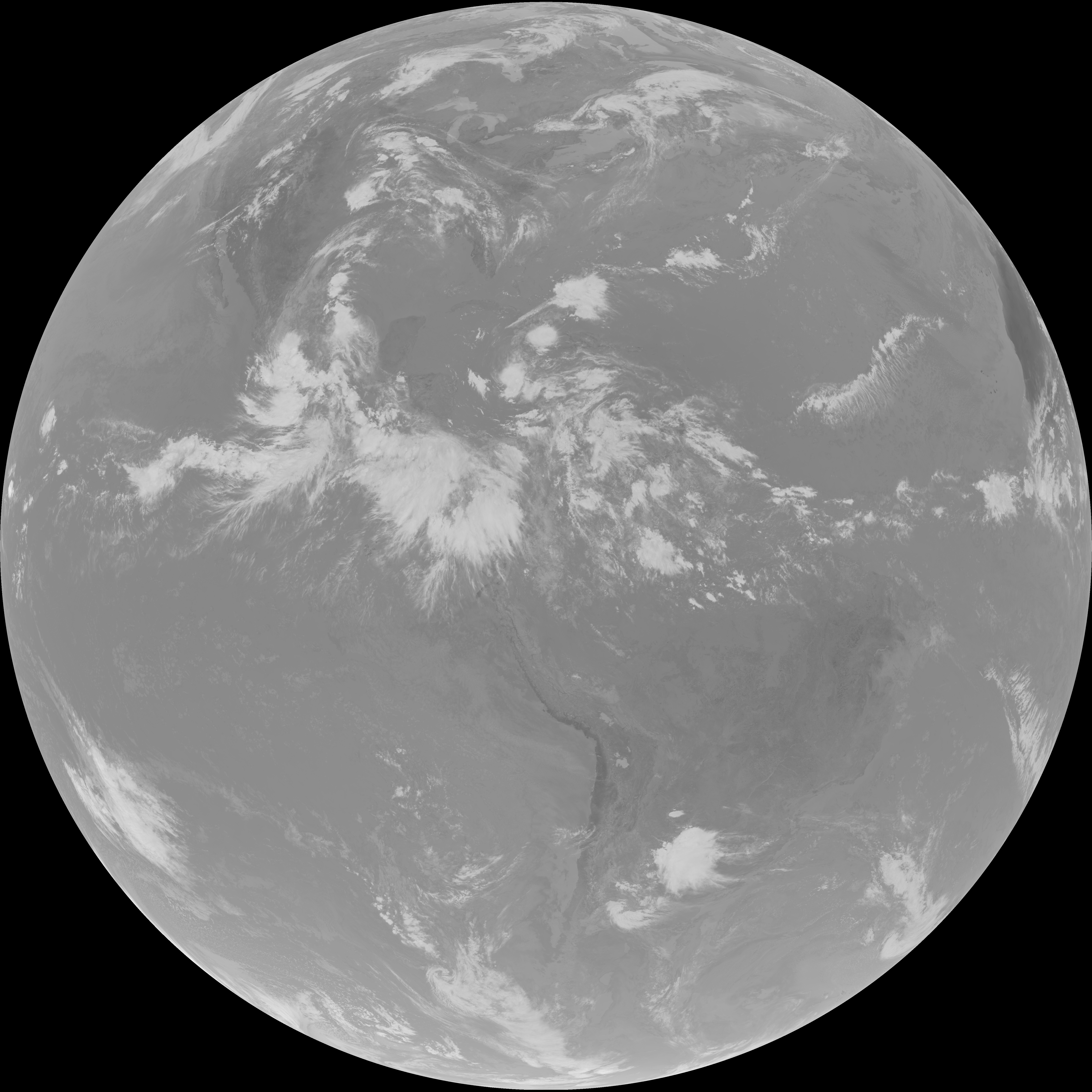
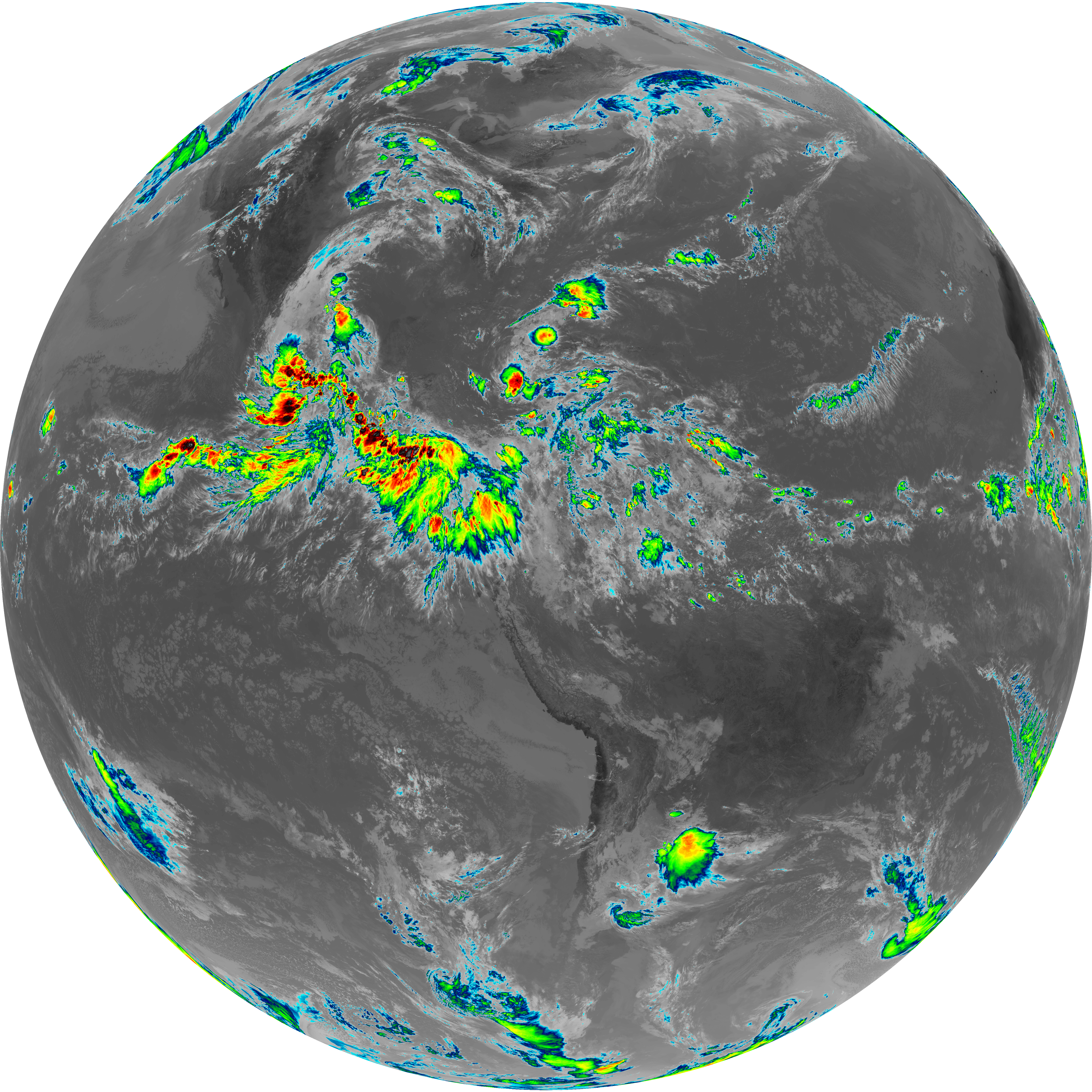
| abi_rgb_Shortwave_Window_Band.png | 14079445 | 2026-Jun-07 15:43 |
| abi_rgb_Shortwave_Window_Band_map.png | 14128425 | 2026-Jun-07 15:43 |
| G19_13_20260607T153021Z.png | 10678079 | 2026-Jun-07 15:46 |
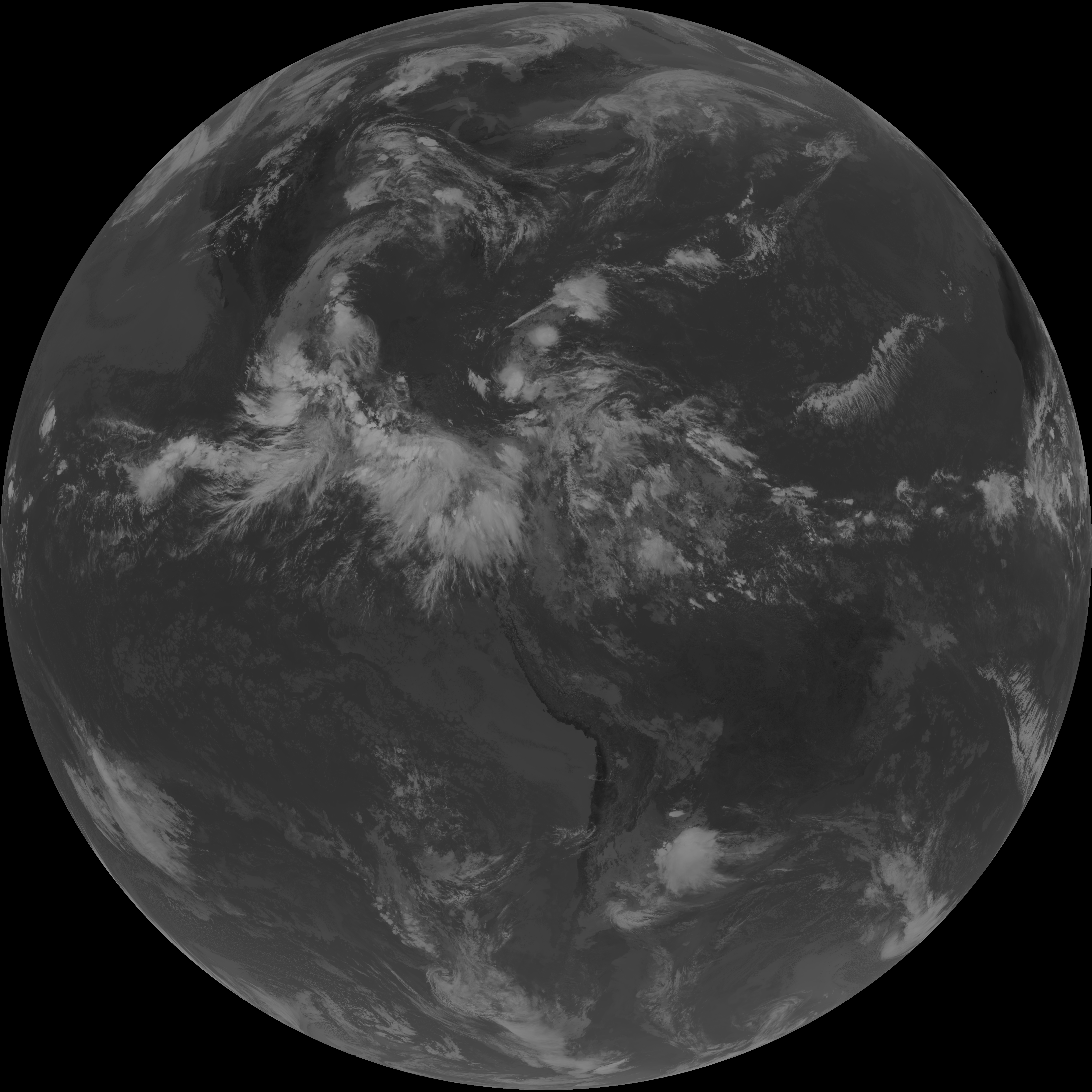
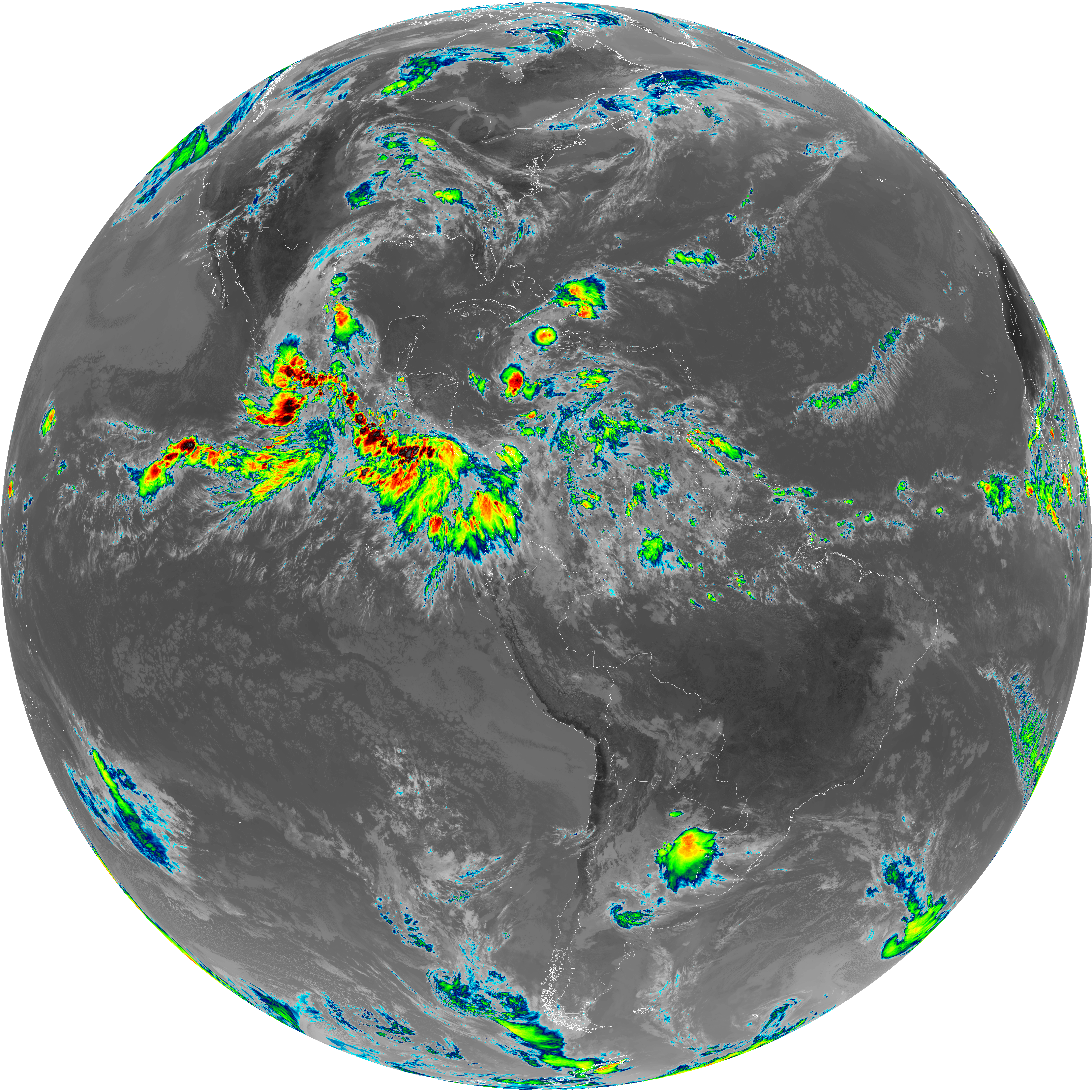
| abi_rgb_Clean_Longwave_IR_Window_Band.png | 14288520 | 2026-Jun-07 15:46 |
| abi_rgb_Clean_Longwave_IR_Window_Band_map.png | 14318157 | 2026-Jun-07 15:46 |
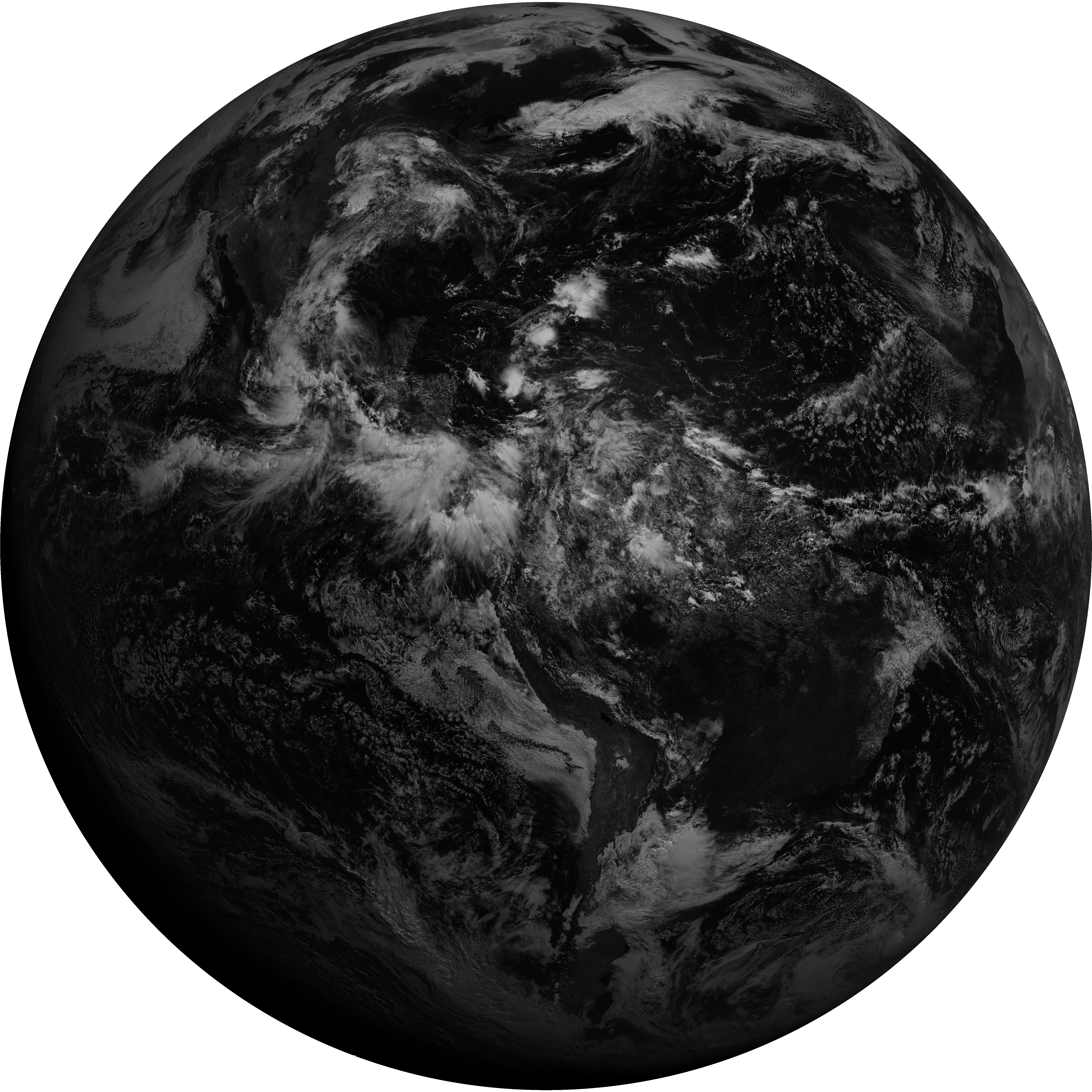
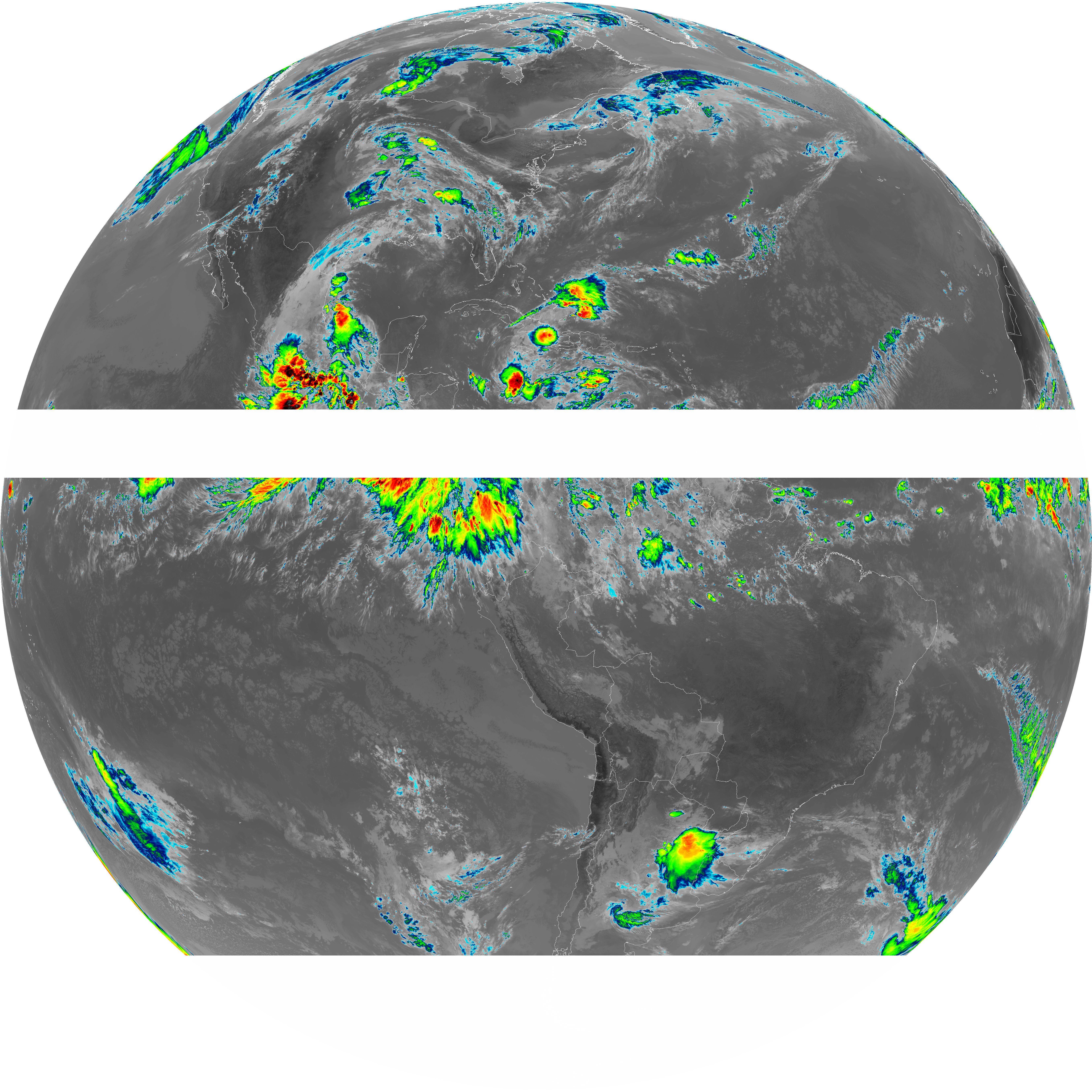
| G19_2_20260607T153021Z.png | 15964860 | 2026-Jun-07 15:51 |
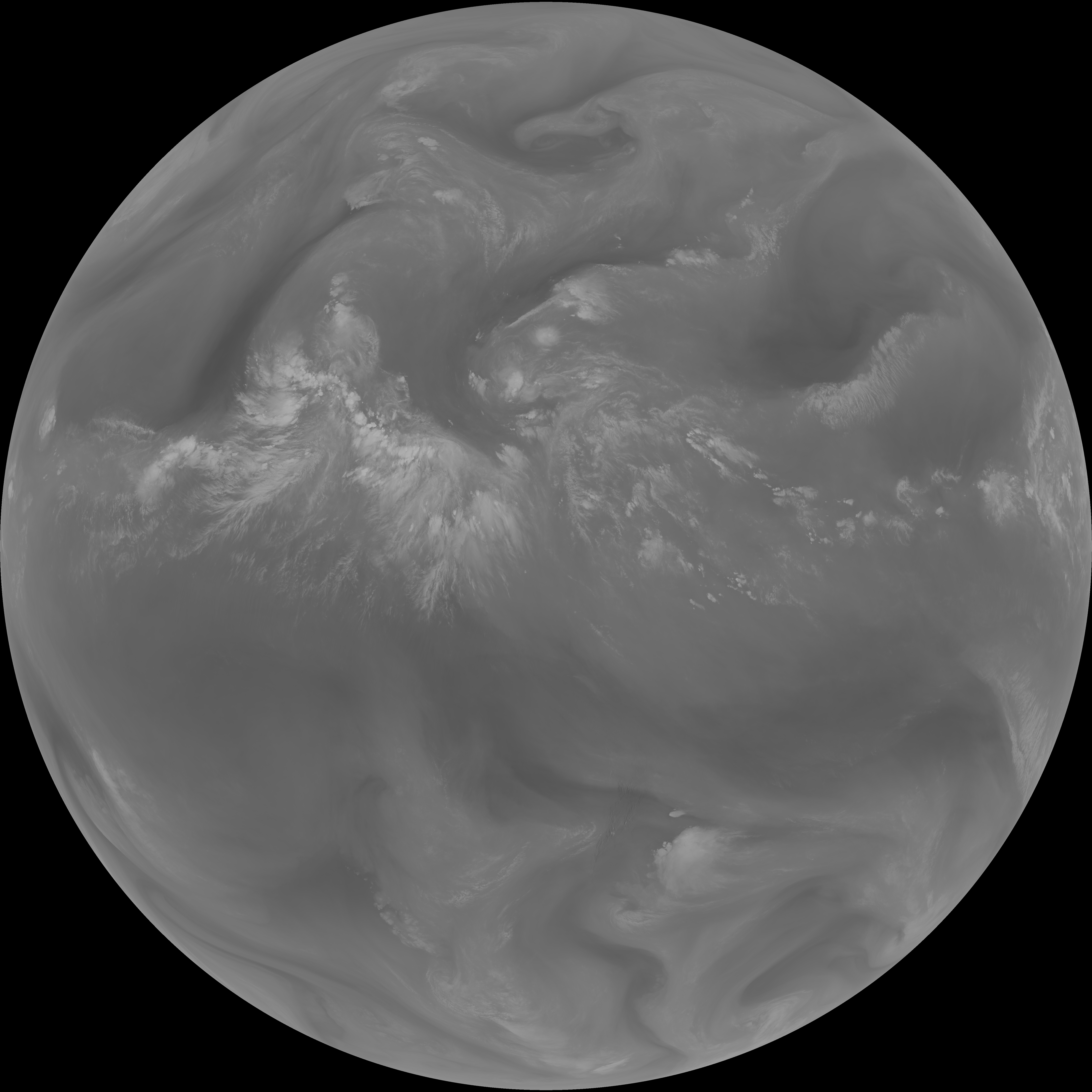
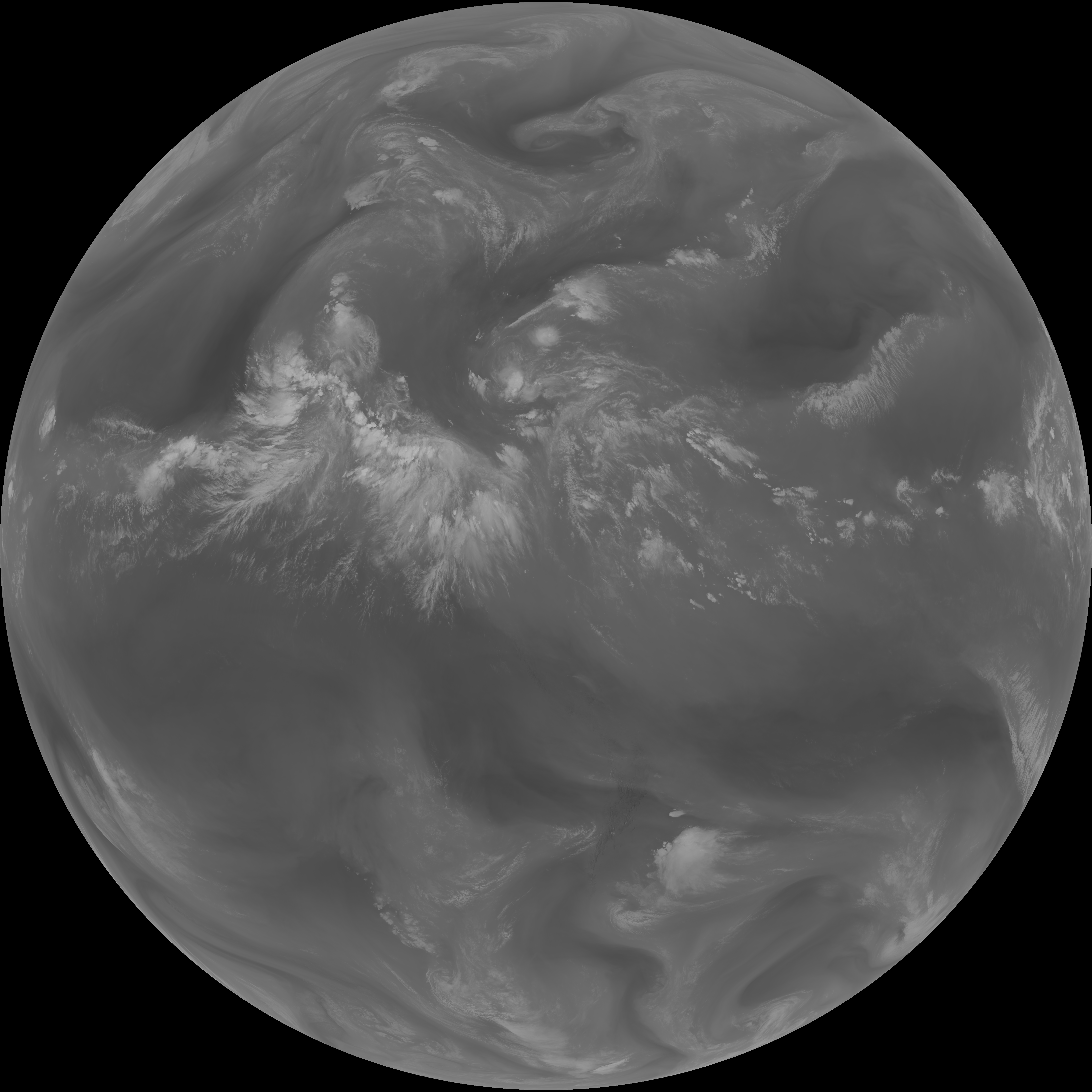
| G19_8_20260607T153021Z.png | 5753904 | 2026-Jun-07 15:53 |
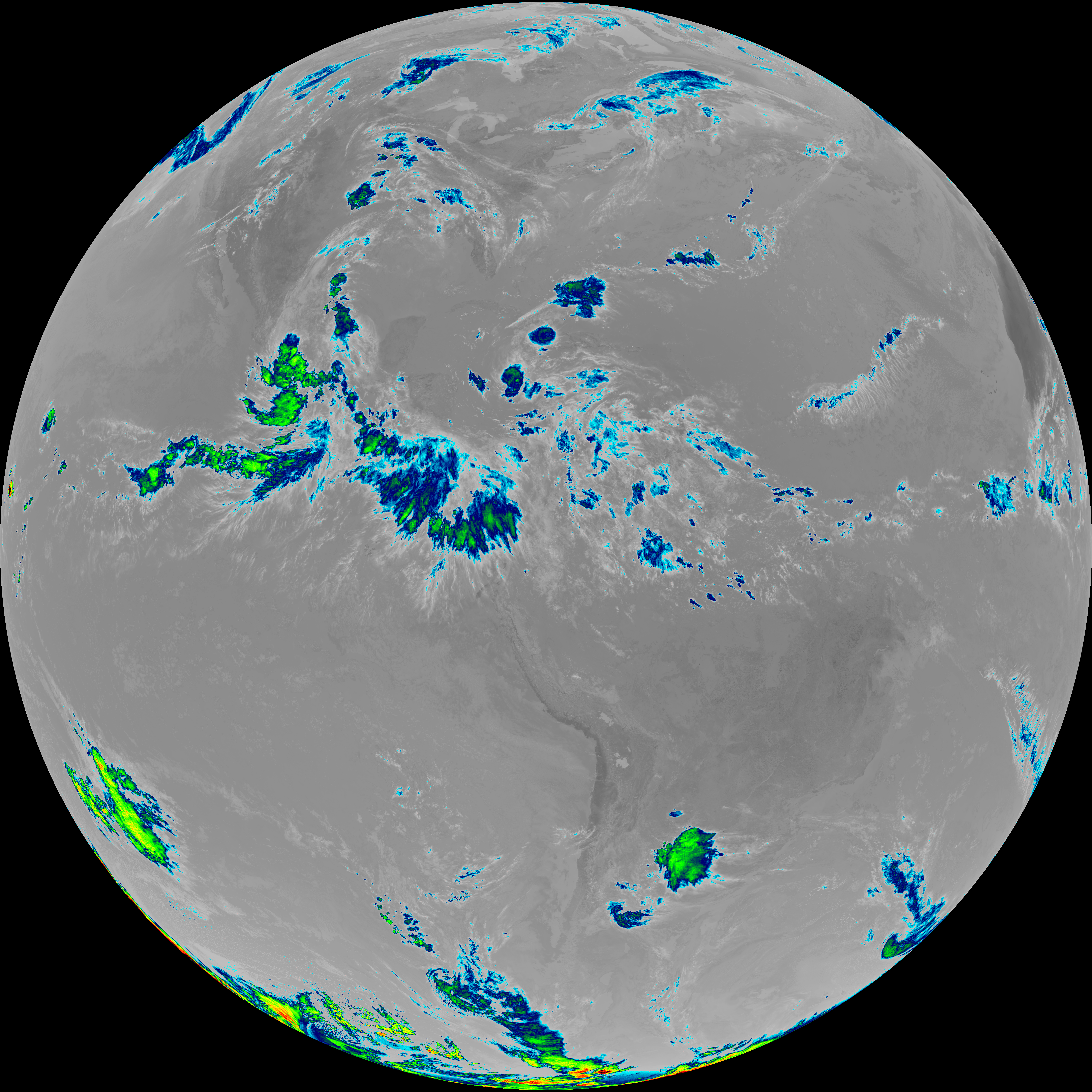
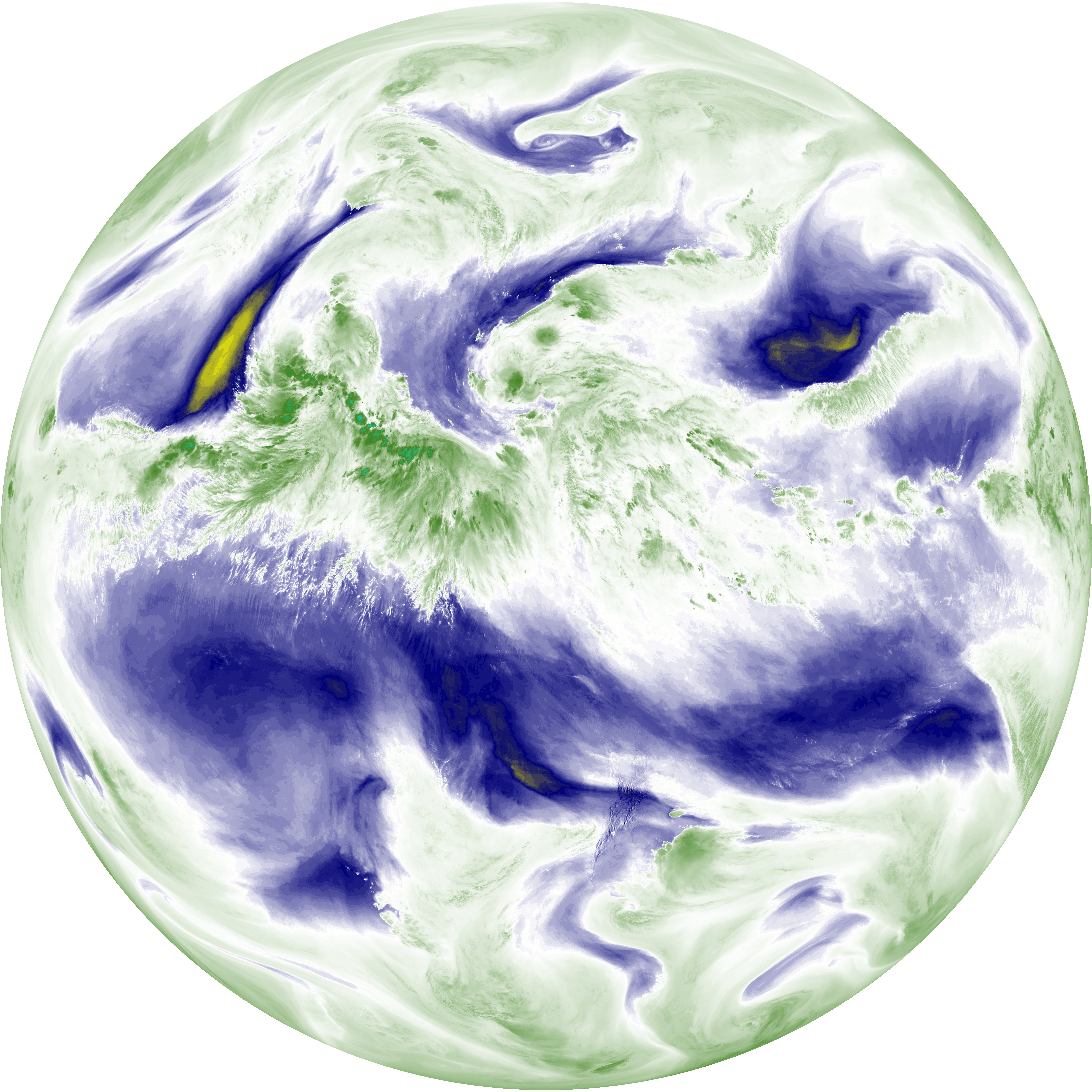
| abi_rgb_Upper-Level_Tropospheric_Water_Vapor.png | 7666043 | 2026-Jun-07 15:53 |
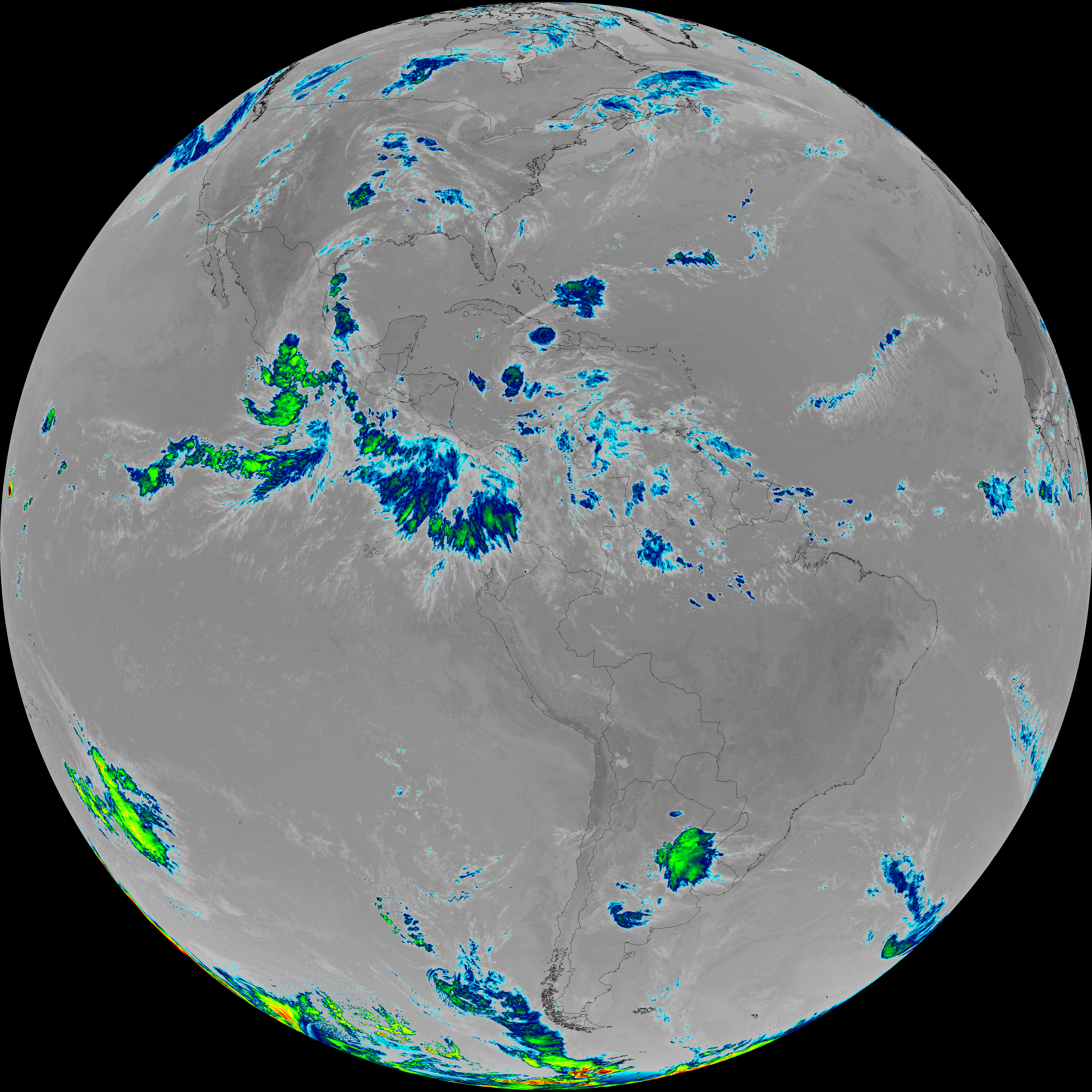
| abi_rgb_Upper-Level_Tropospheric_Water_Vapor_map.png | 7775983 | 2026-Jun-07 15:53 |
| G19_9_20260607T153021Z.png | 6609221 | 2026-Jun-07 15:55 |
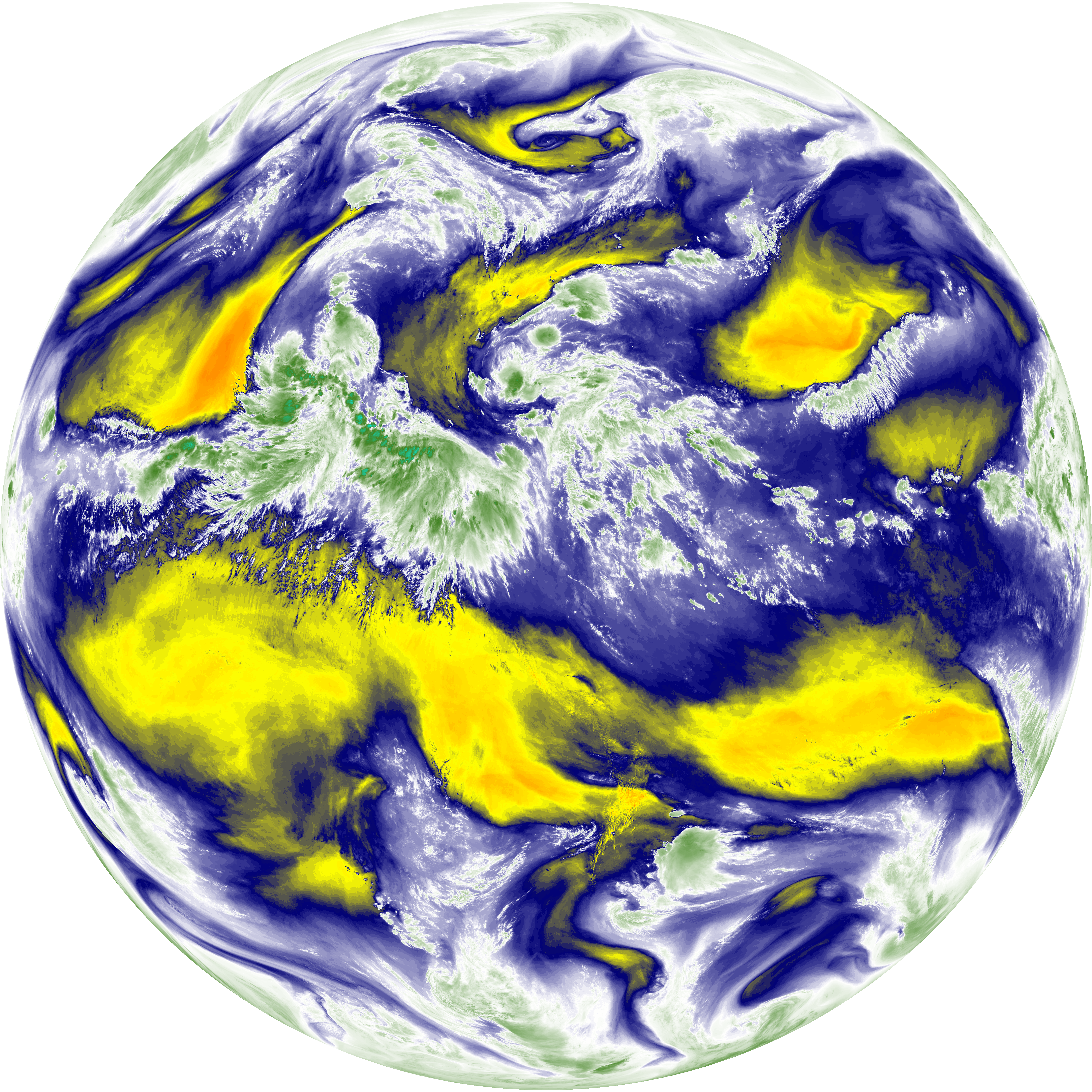
| abi_rgb_Mid-level_Tropospheric_Water_Vapor.png | 8861091 | 2026-Jun-07 15:55 |
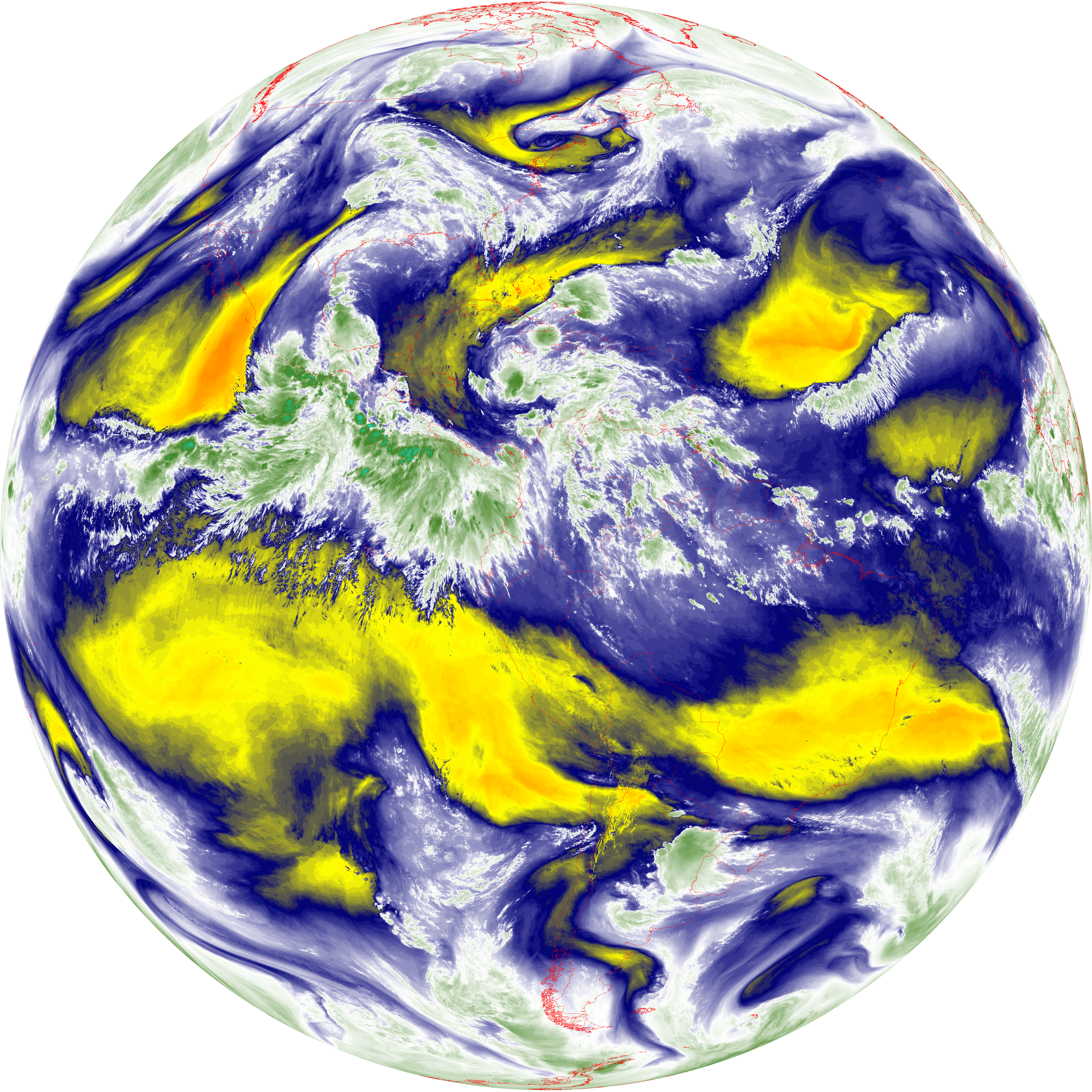
| abi_rgb_Mid-level_Tropospheric_Water_Vapor_map.png | 8960088 | 2026-Jun-07 15:56 |
| G19_14_20260607T153021Z.png | 10811808 | 2026-Jun-07 15:58 |
| abi_rgb_Infrared_Longwave_Window_Band.png | 14449232 | 2026-Jun-07 15:58 |
| abi_rgb_Infrared_Longwave_Window_Band_map.png | 14478996 | 2026-Jun-07 15:58 |
| G19_15_20260607T153021Z.png | 8772510 | 2026-Jun-07 16:29 |
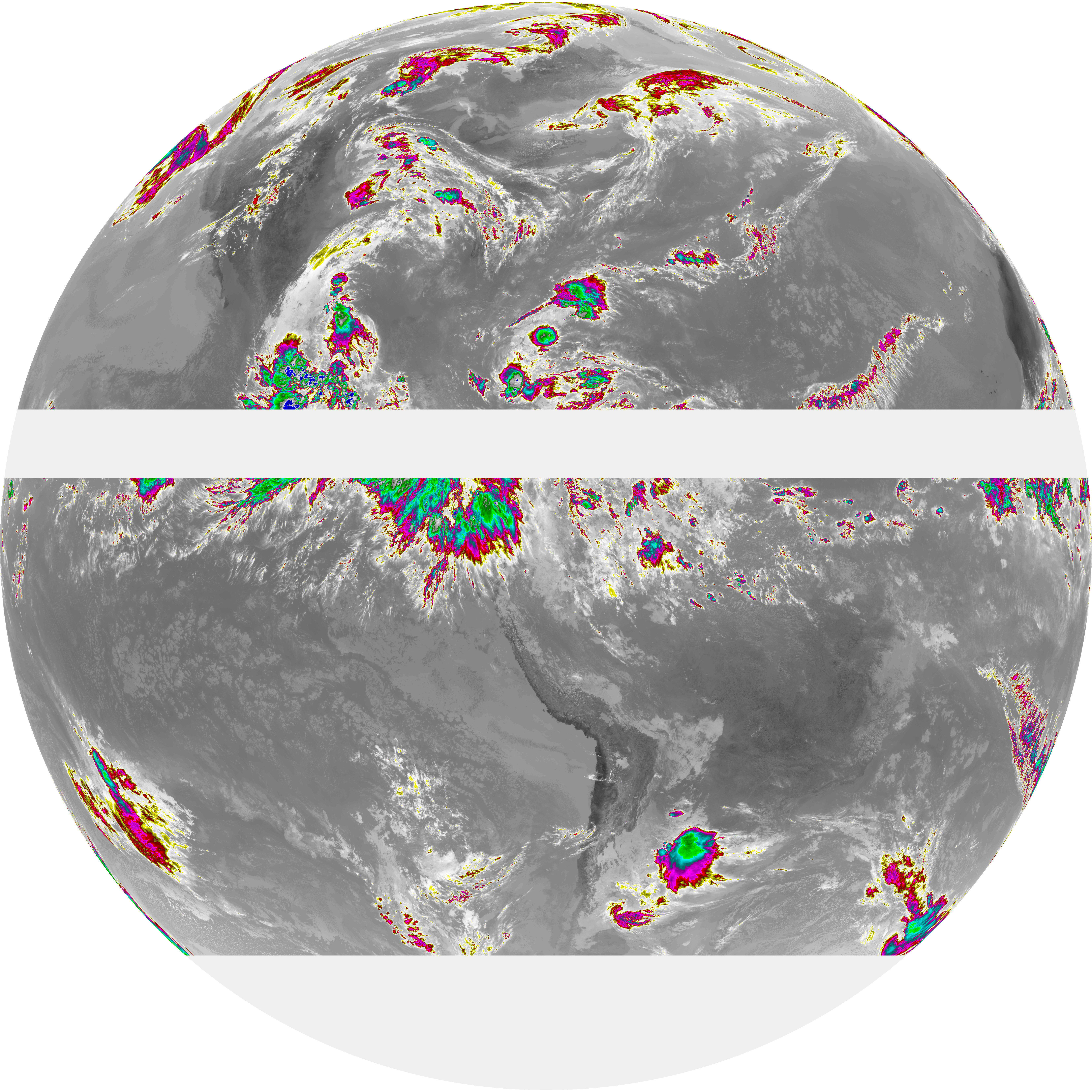
| abi_rgb_Dirty_Longwave_Window.png | 11805387 | 2026-Jun-07 16:29 |
| abi_rgb_Dirty_Longwave_Window_map.png | 11865091 | 2026-Jun-07 16:29 |
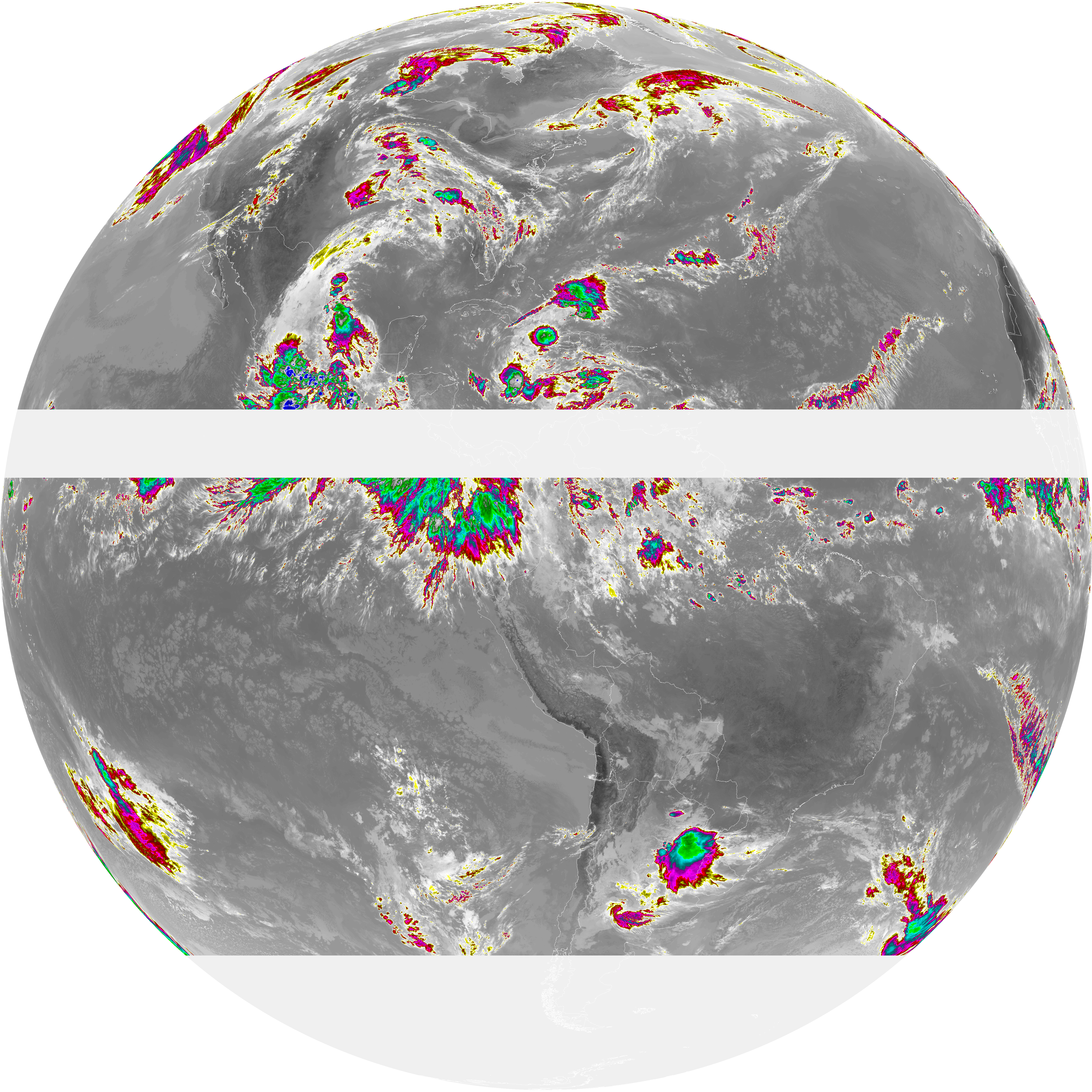
| abi_rgb_Dirty_Longwave_Window_-_CIRA.png | 10322264 | 2026-Jun-07 16:29 |
| abi_rgb_Dirty_Longwave_Window_-_CIRA_map.png | 10393530 | 2026-Jun-07 16:29 |