| Parent directory/ | - | - |
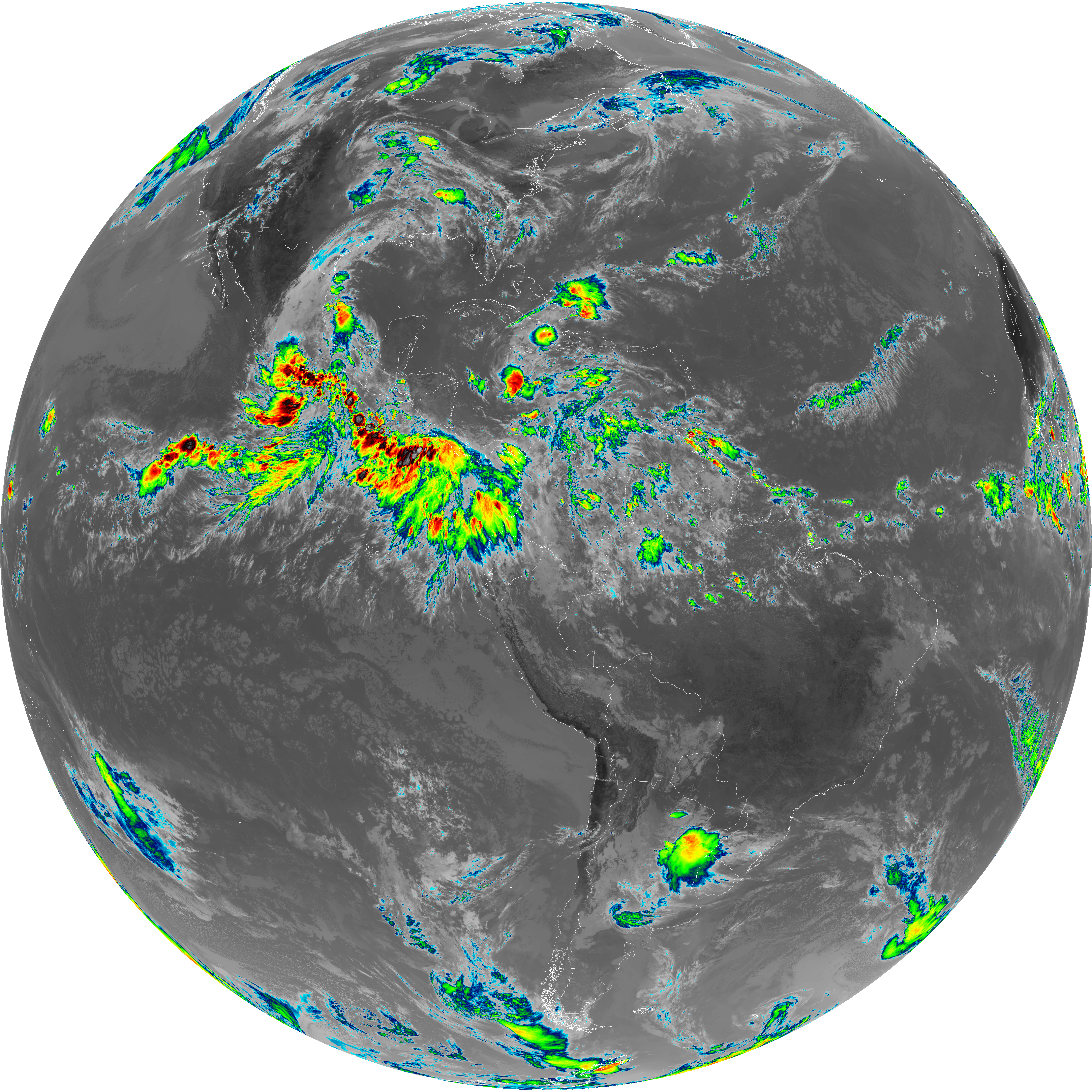
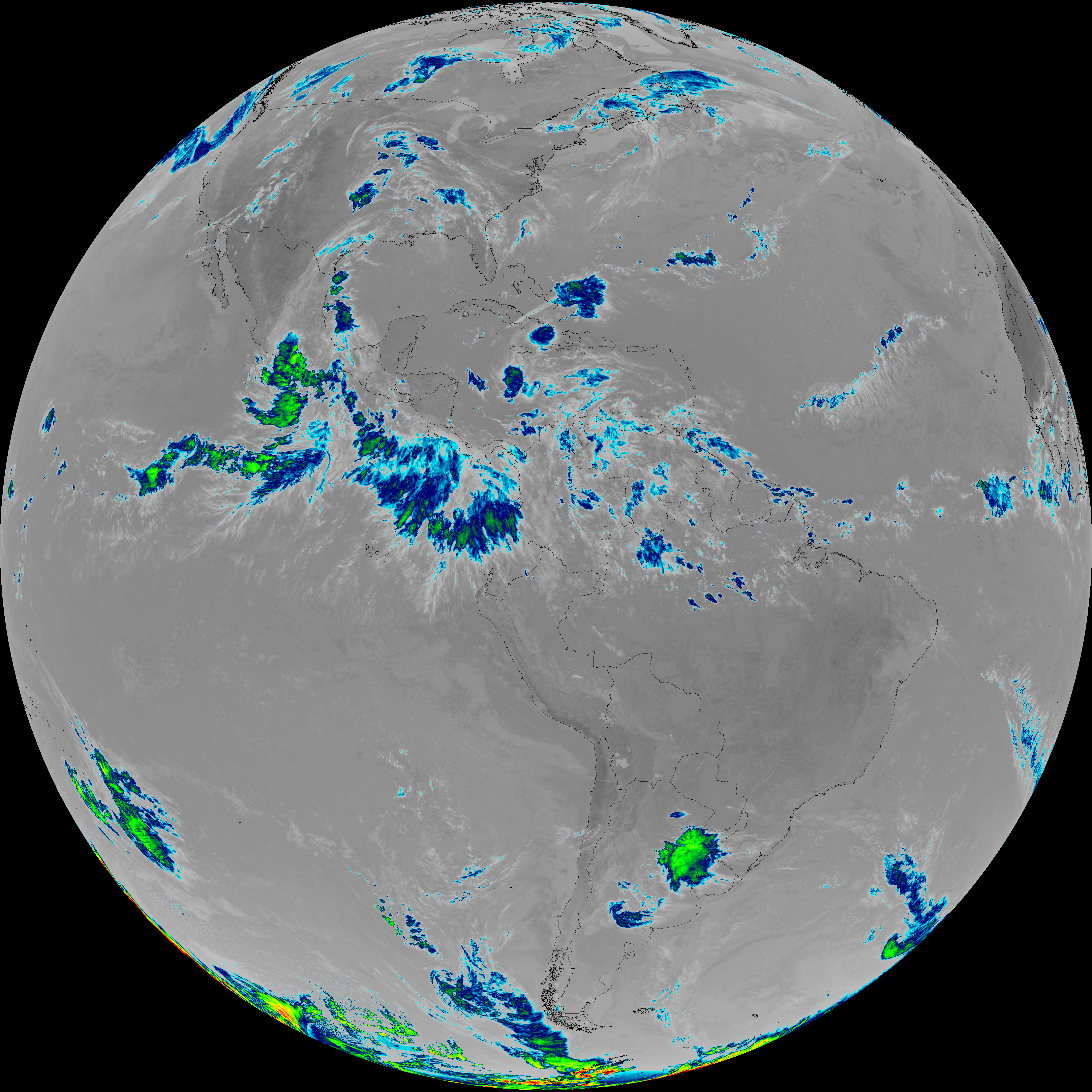
| abi_rgb_Dirty_Longwave_Window_-_CIRA_map.png | 8188308 | 2026-Jun-07 17:00 |
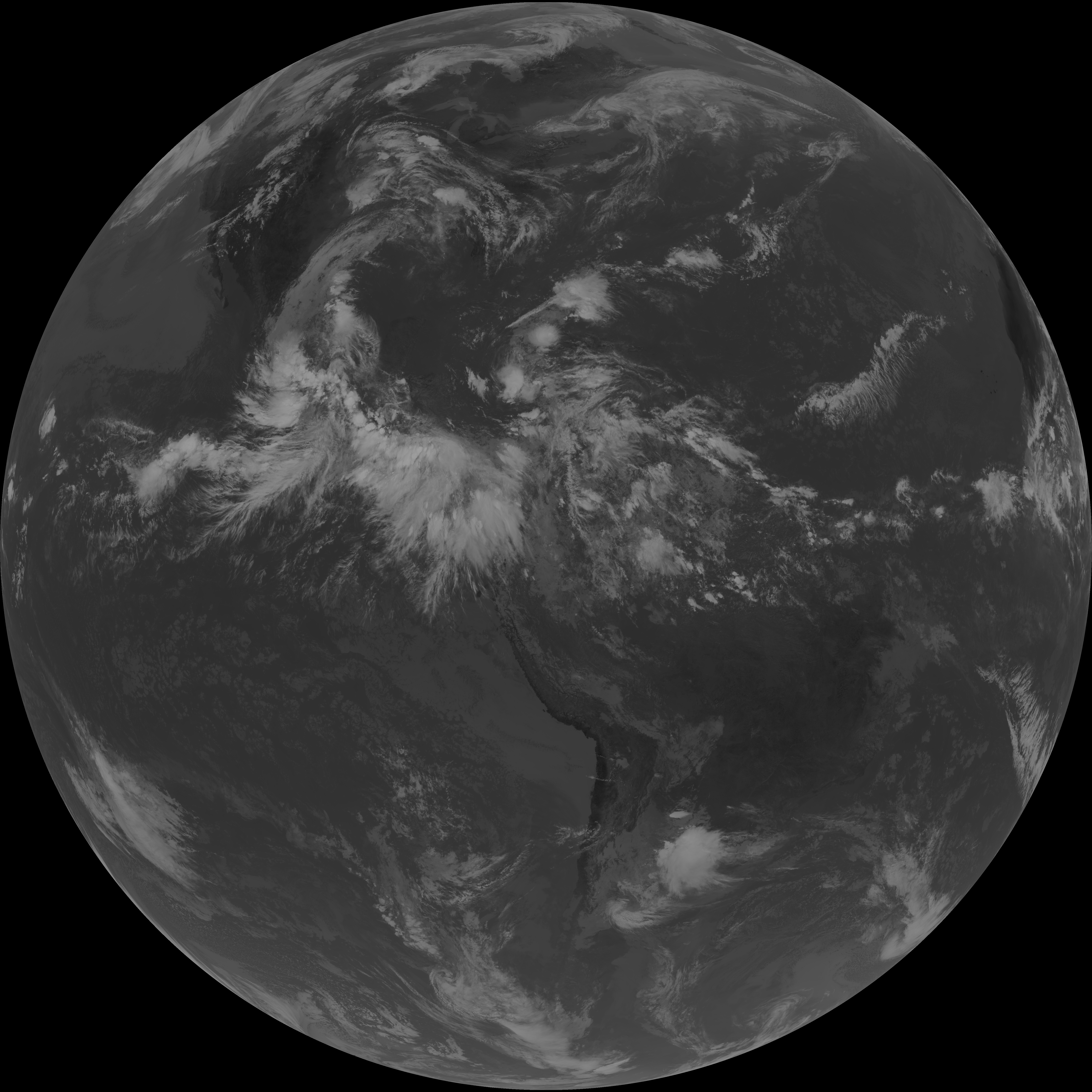
| abi_rgb_Dirty_Longwave_Window_-_CIRA.png | 8106620 | 2026-Jun-07 17:00 |
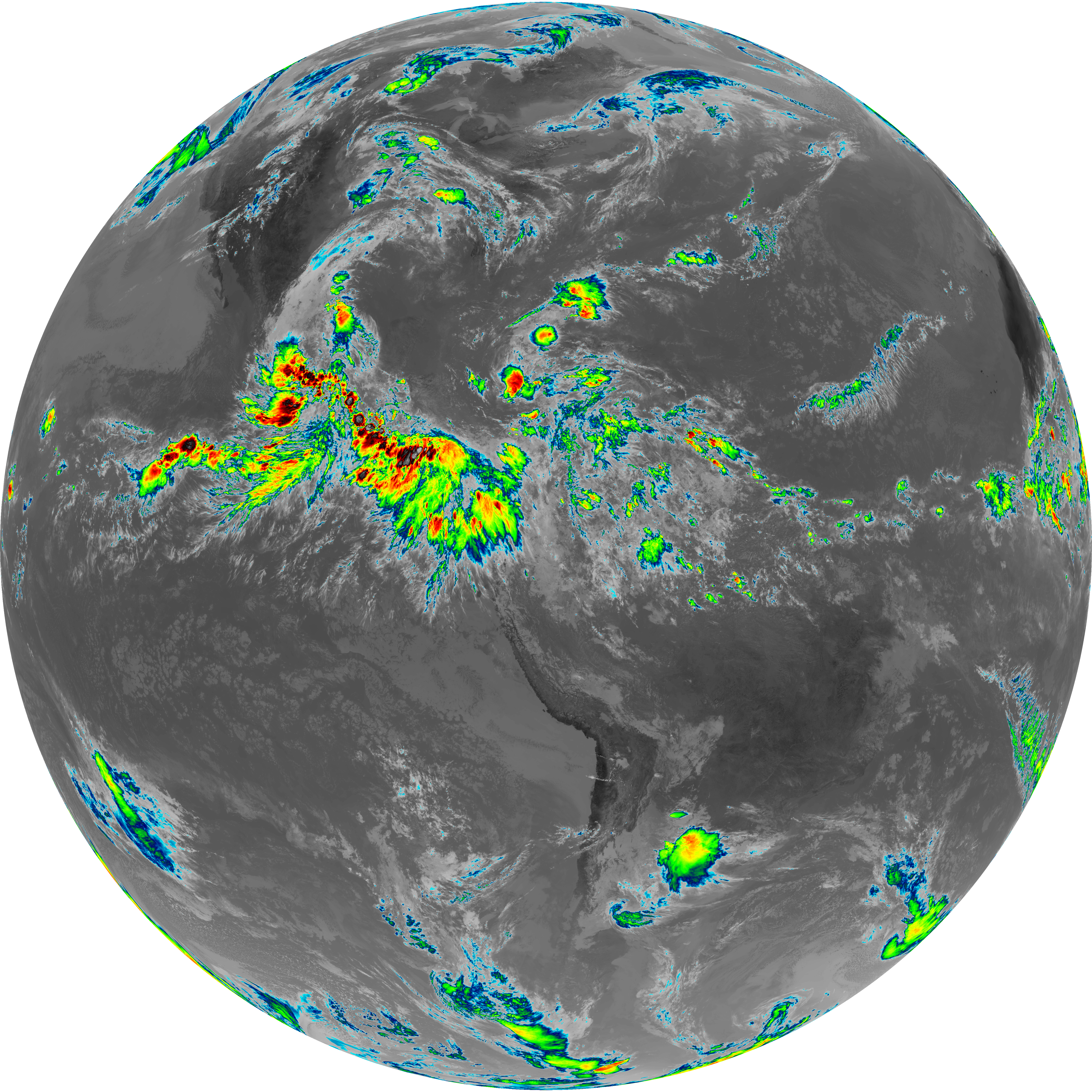
| abi_rgb_Dirty_Longwave_Window_map.png | 9295487 | 2026-Jun-07 17:00 |
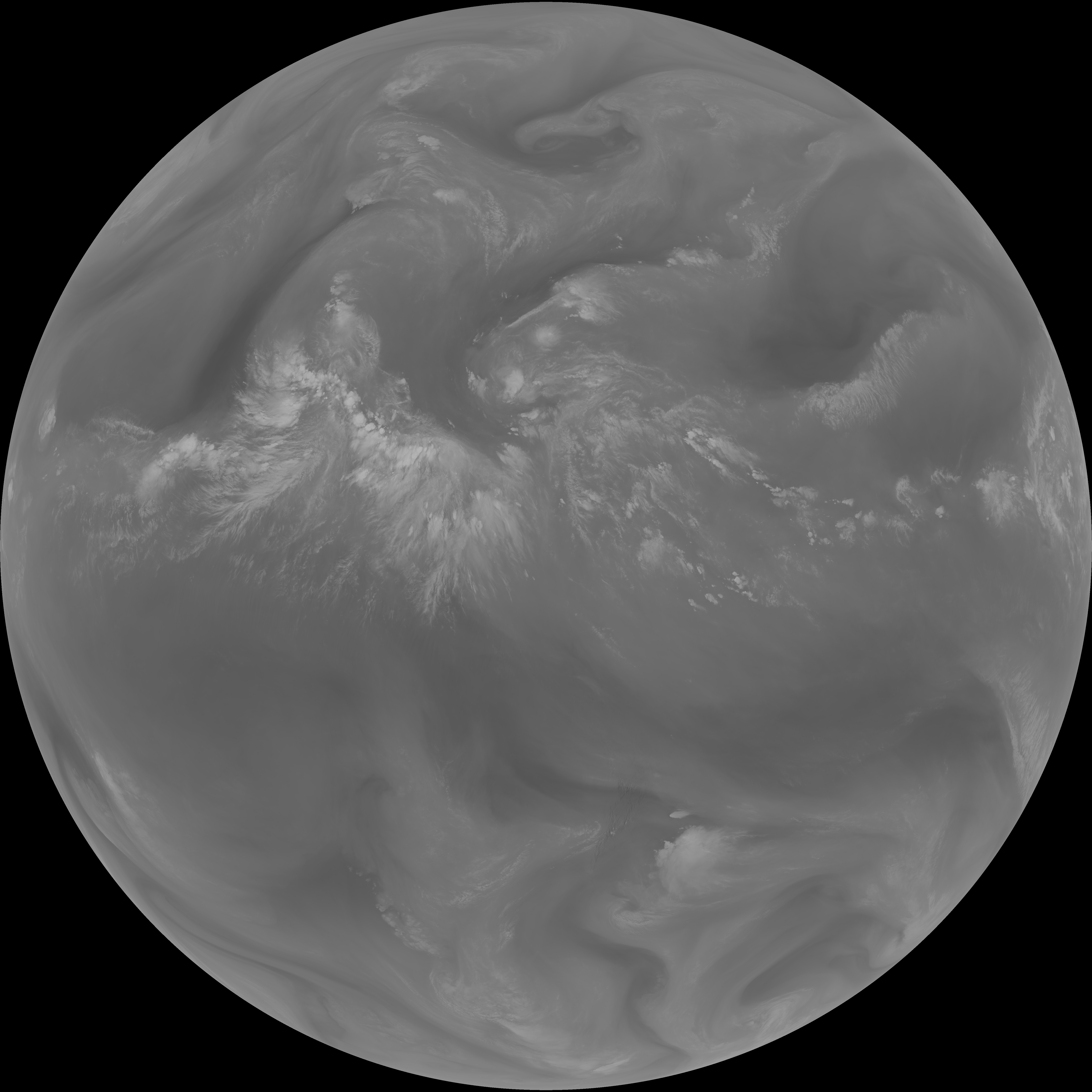
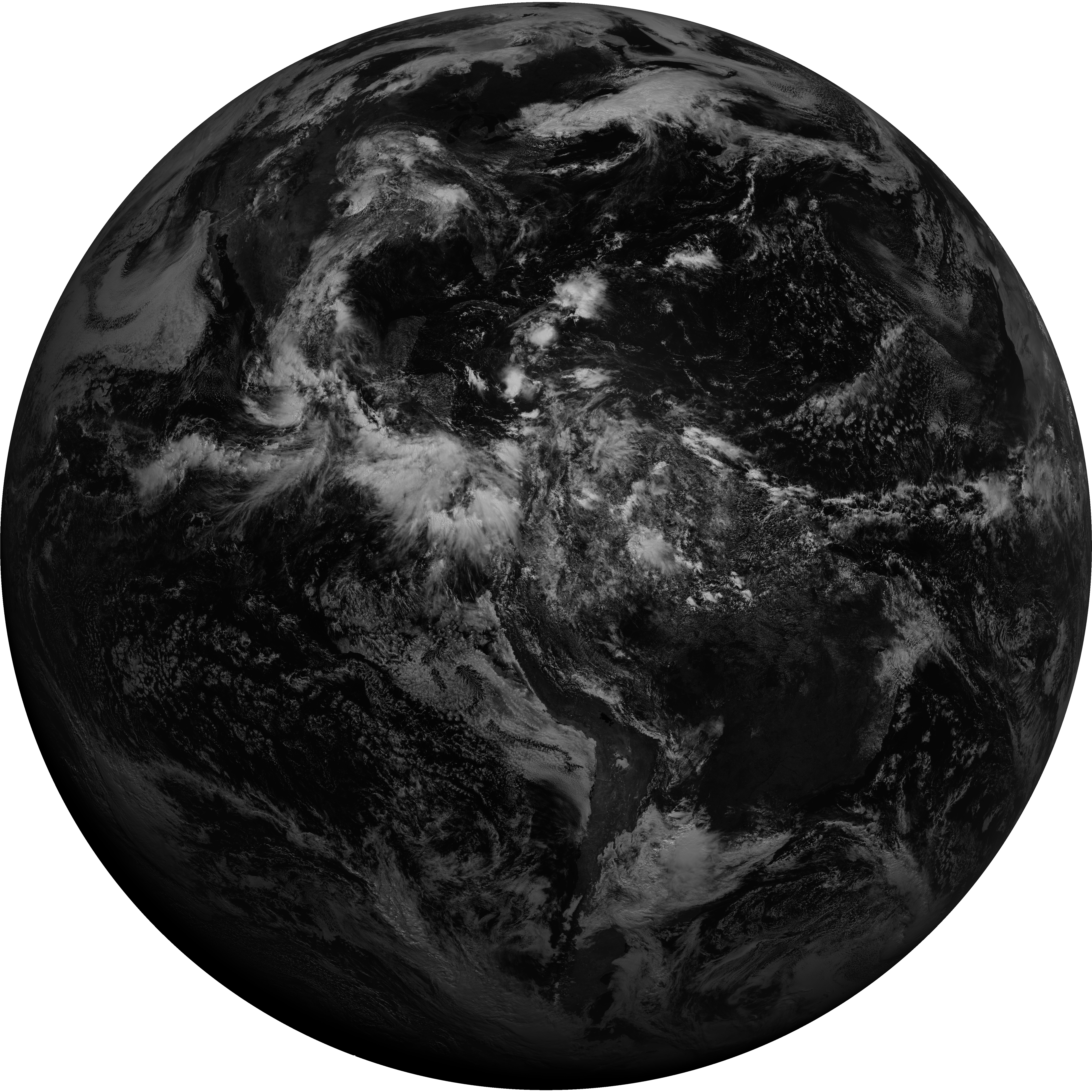
| abi_rgb_Dirty_Longwave_Window.png | 9224255 | 2026-Jun-07 17:00 |
| G19_15_20260607T160021Z.png | 6833166 | 2026-Jun-07 16:59 |
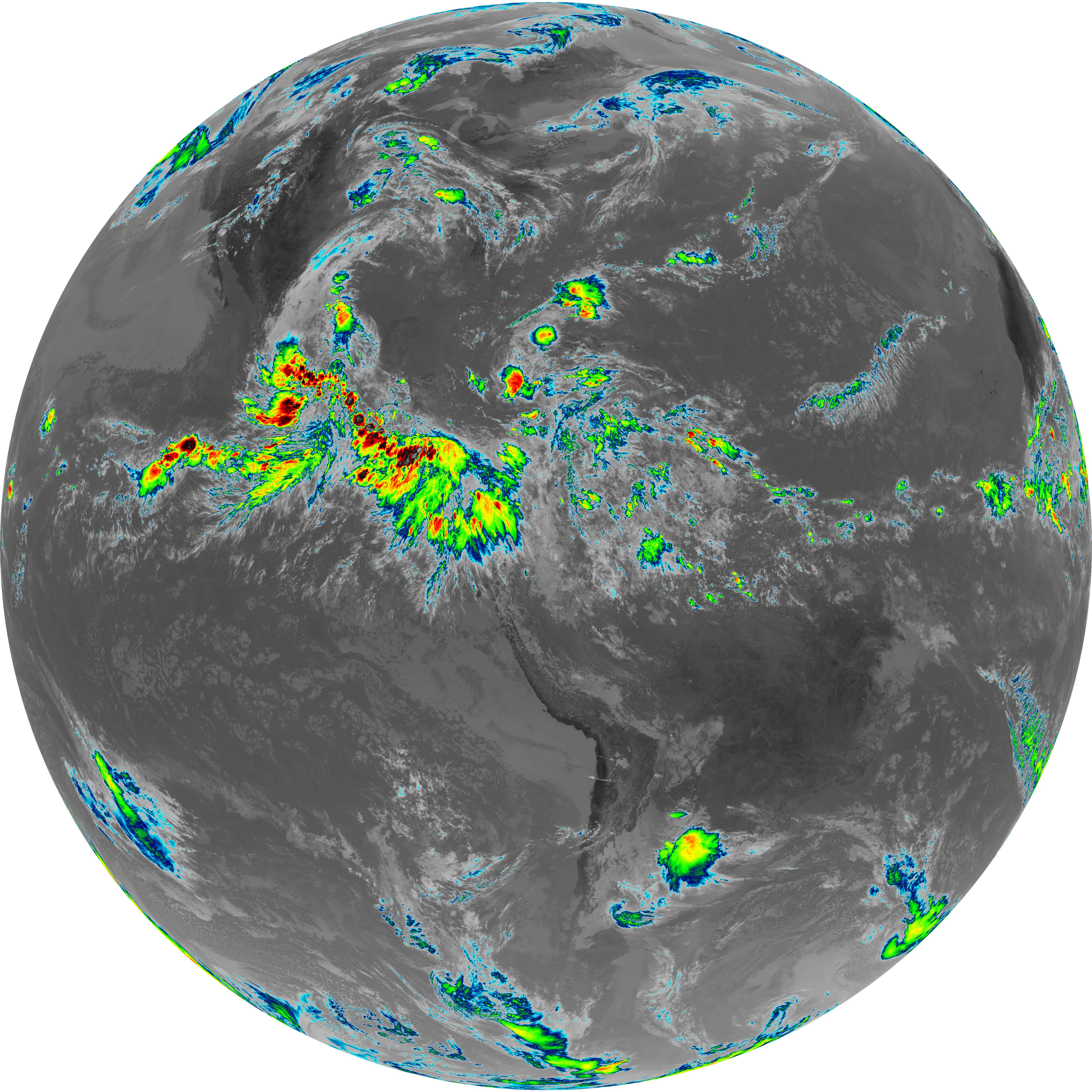
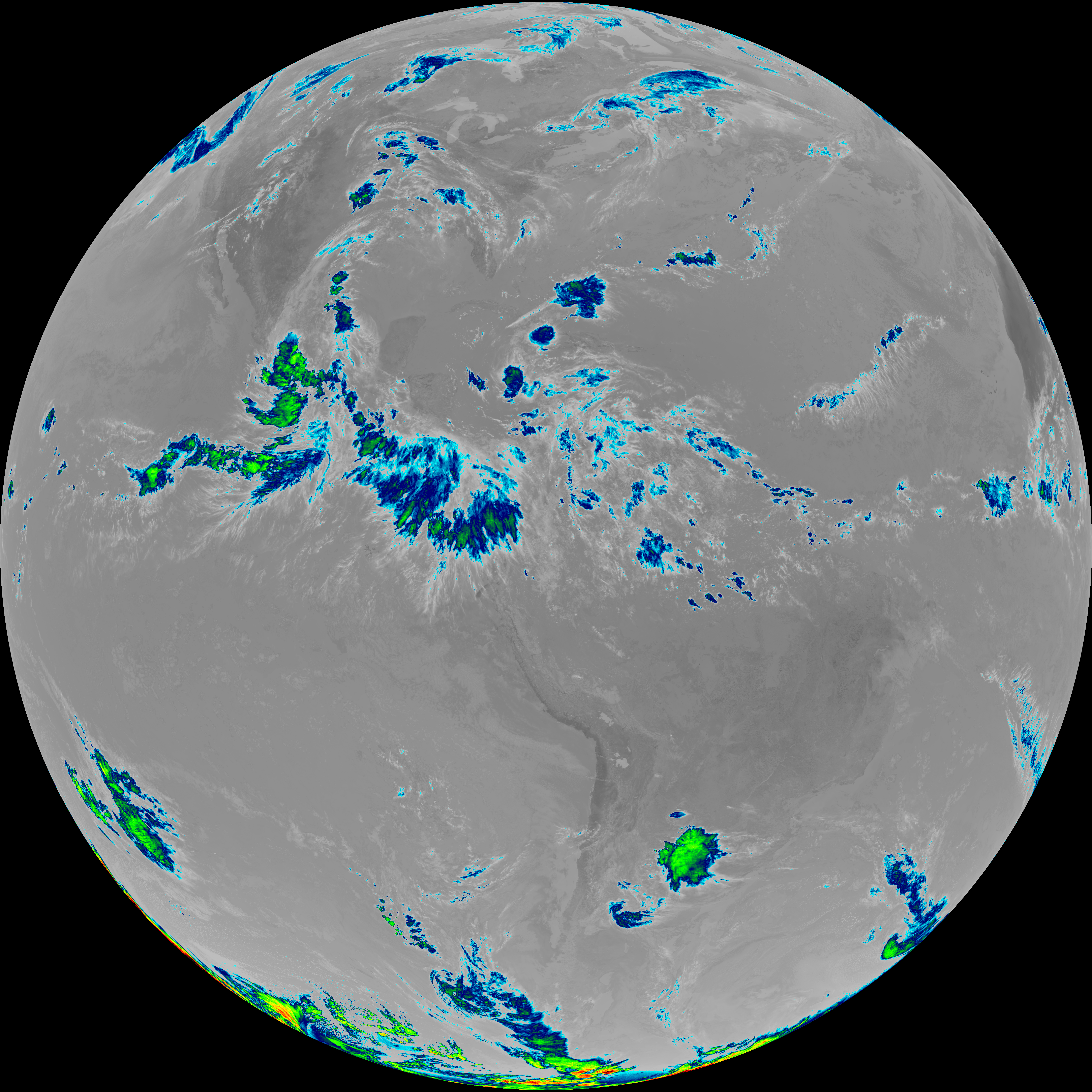
| abi_rgb_Infrared_Longwave_Window_Band_map.png | 14588514 | 2026-Jun-07 16:29 |
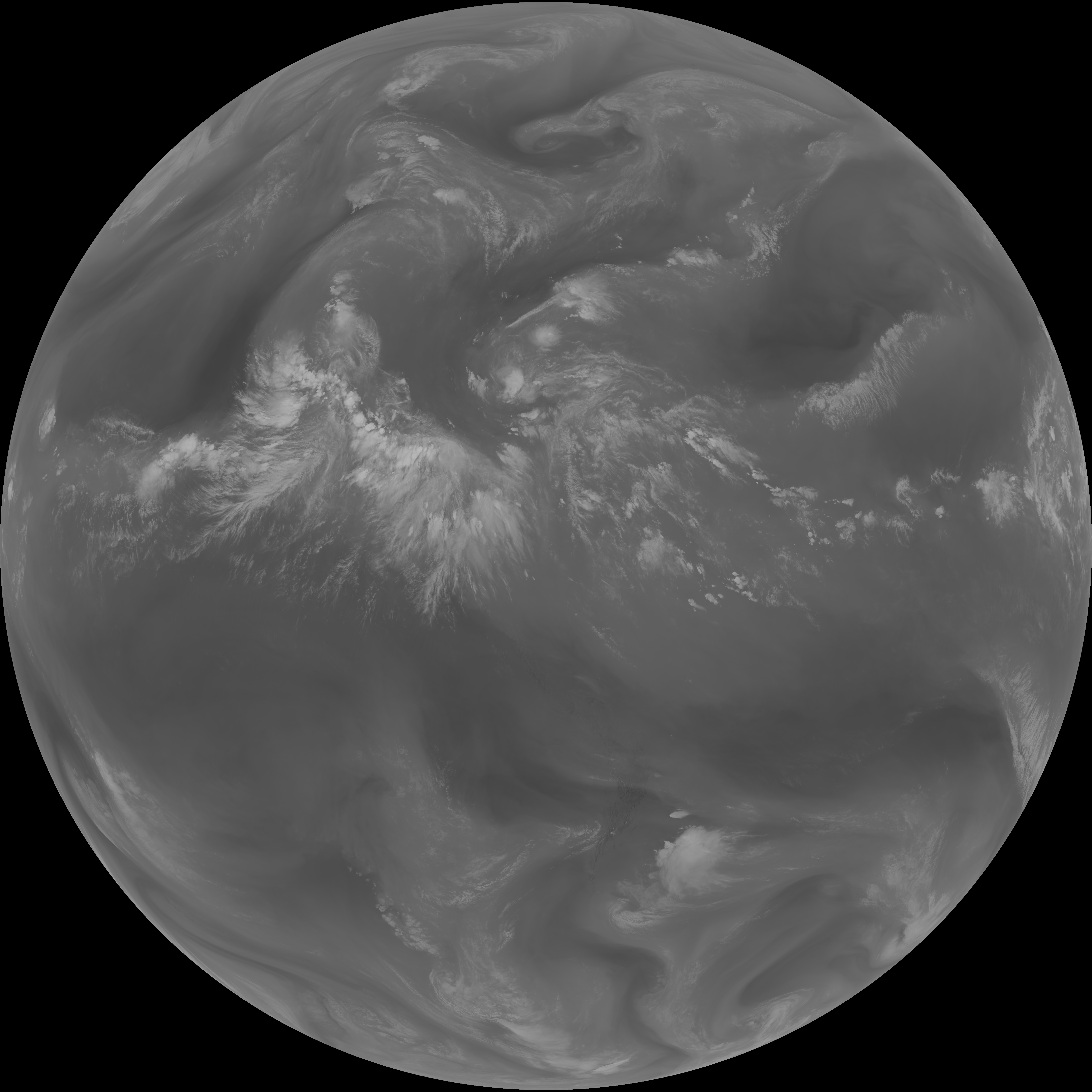
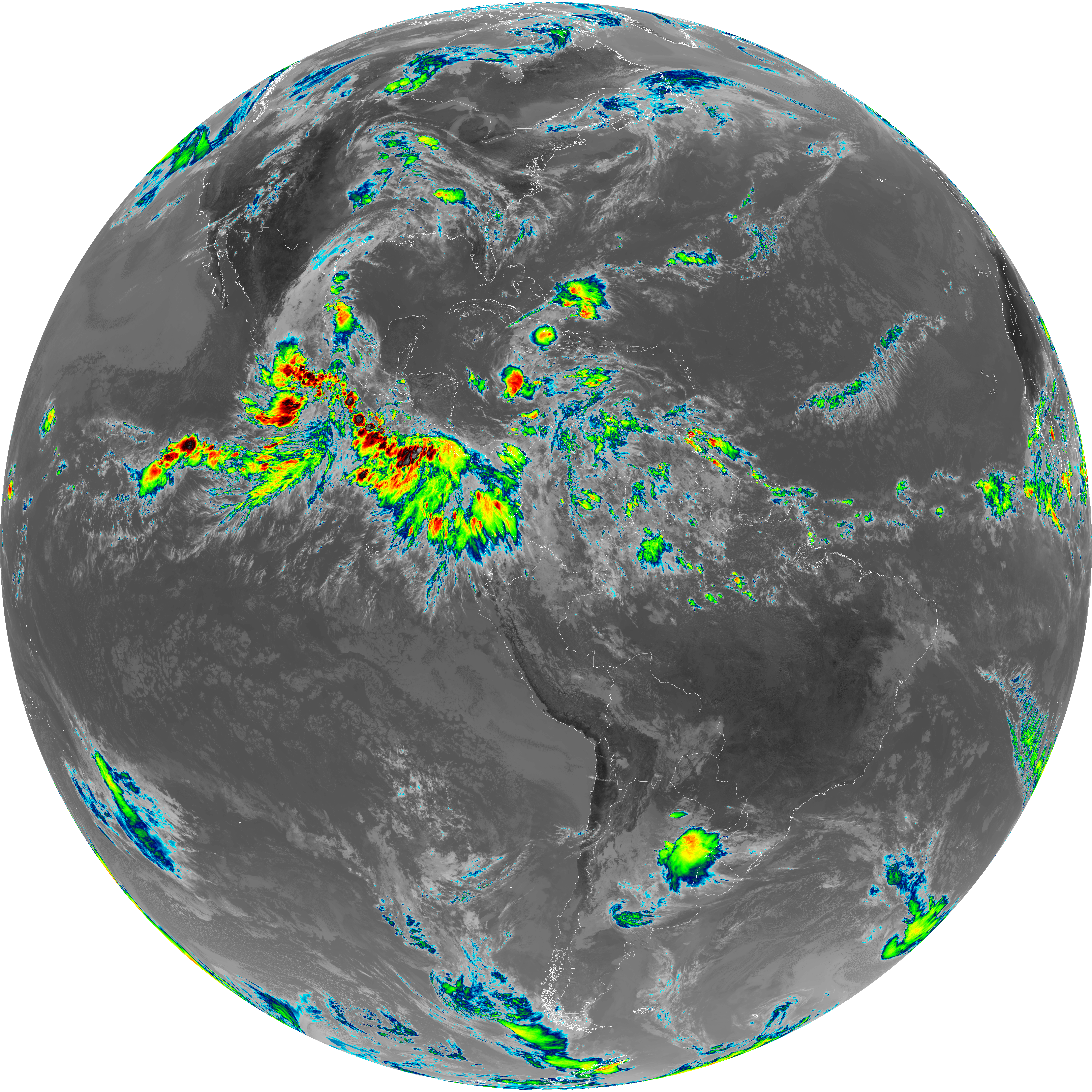
| abi_rgb_Infrared_Longwave_Window_Band.png | 14561187 | 2026-Jun-07 16:29 |
| G19_14_20260607T160021Z.png | 10905011 | 2026-Jun-07 16:28 |
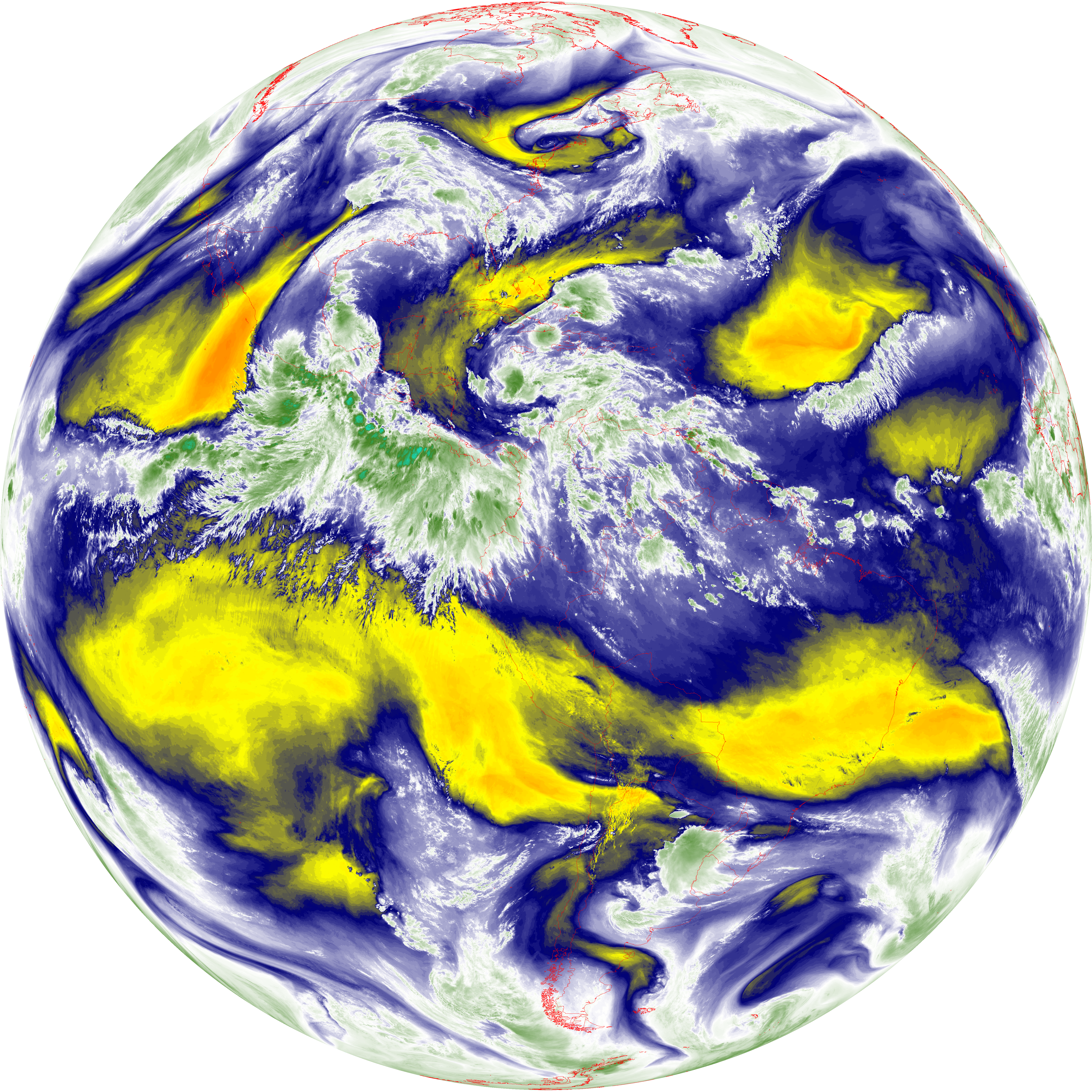
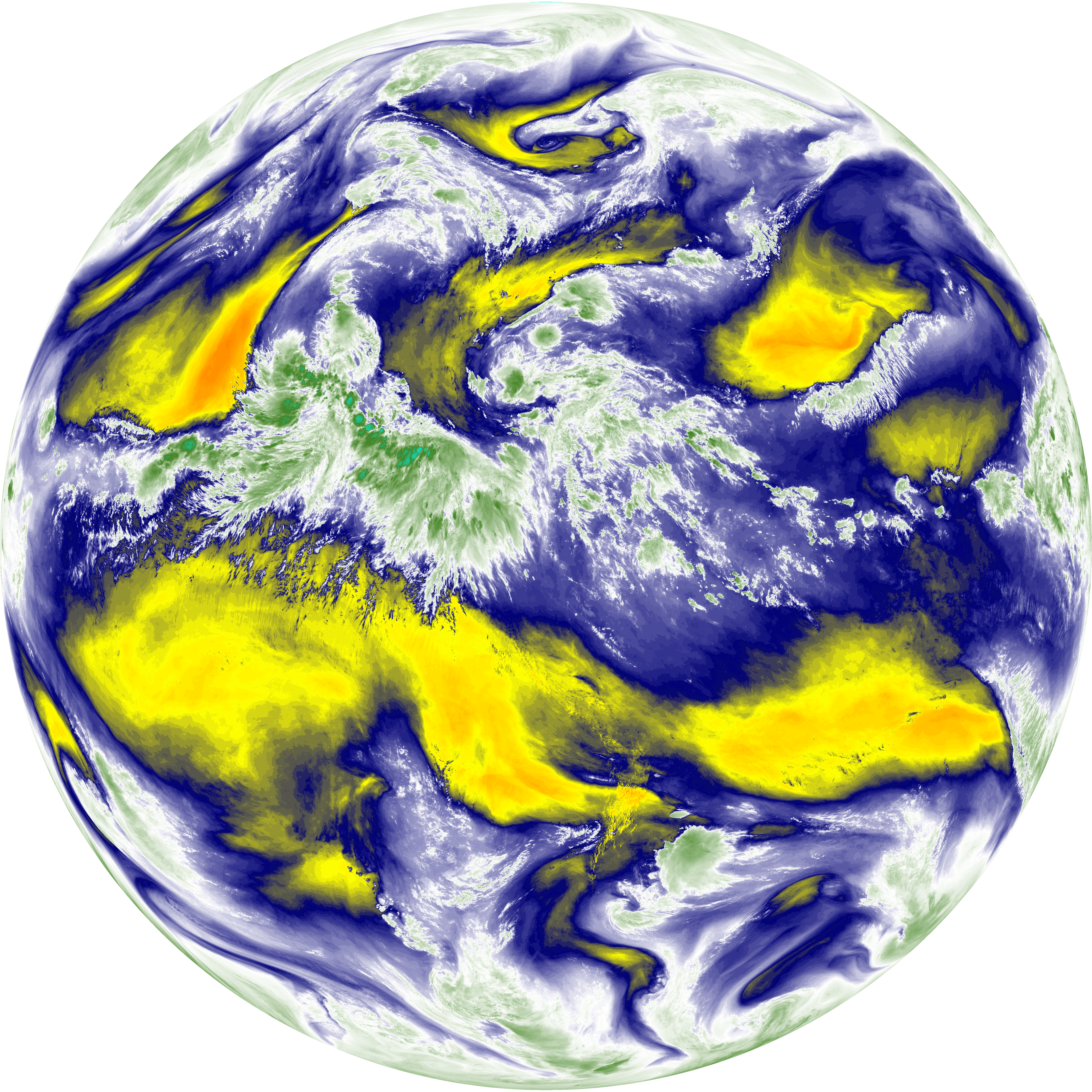
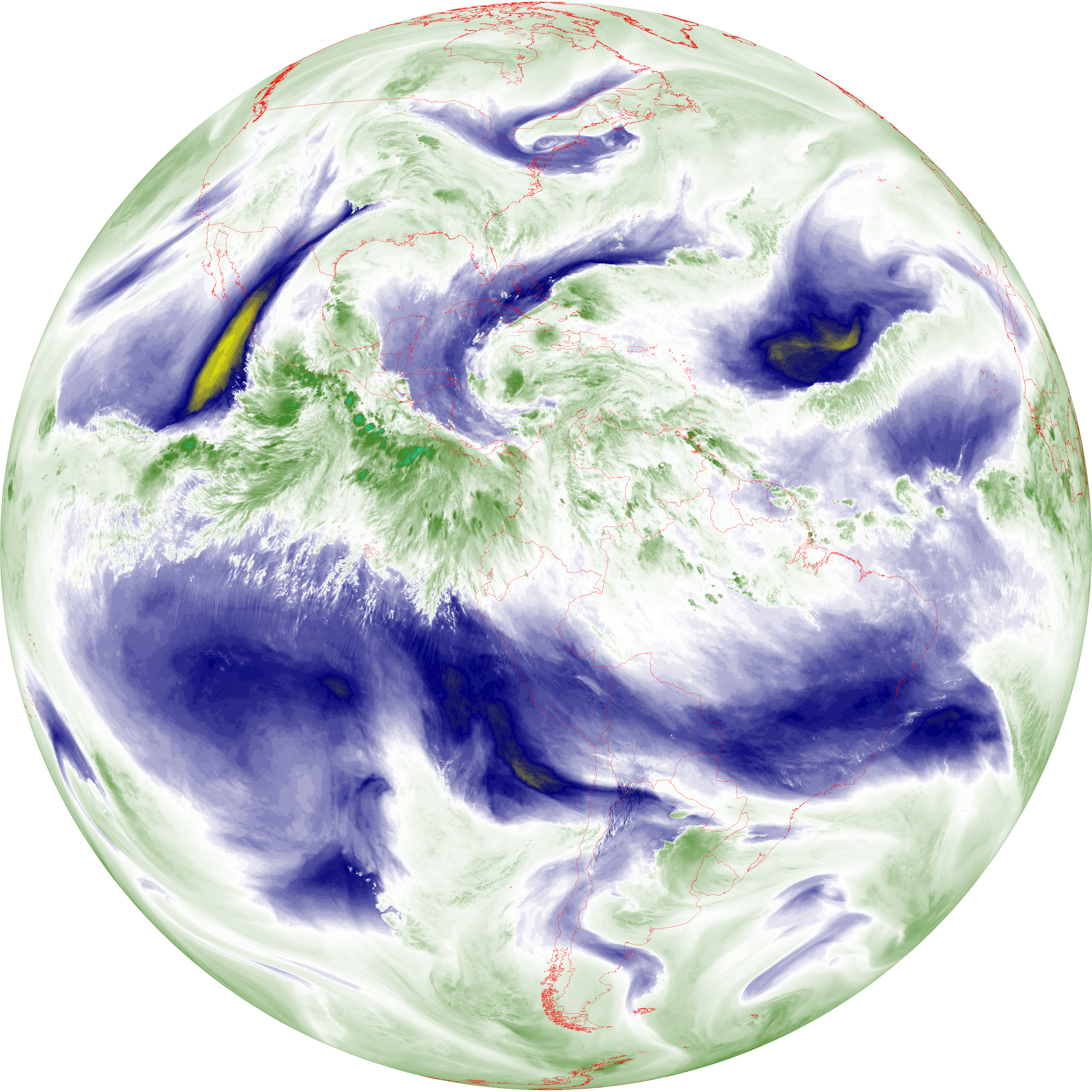
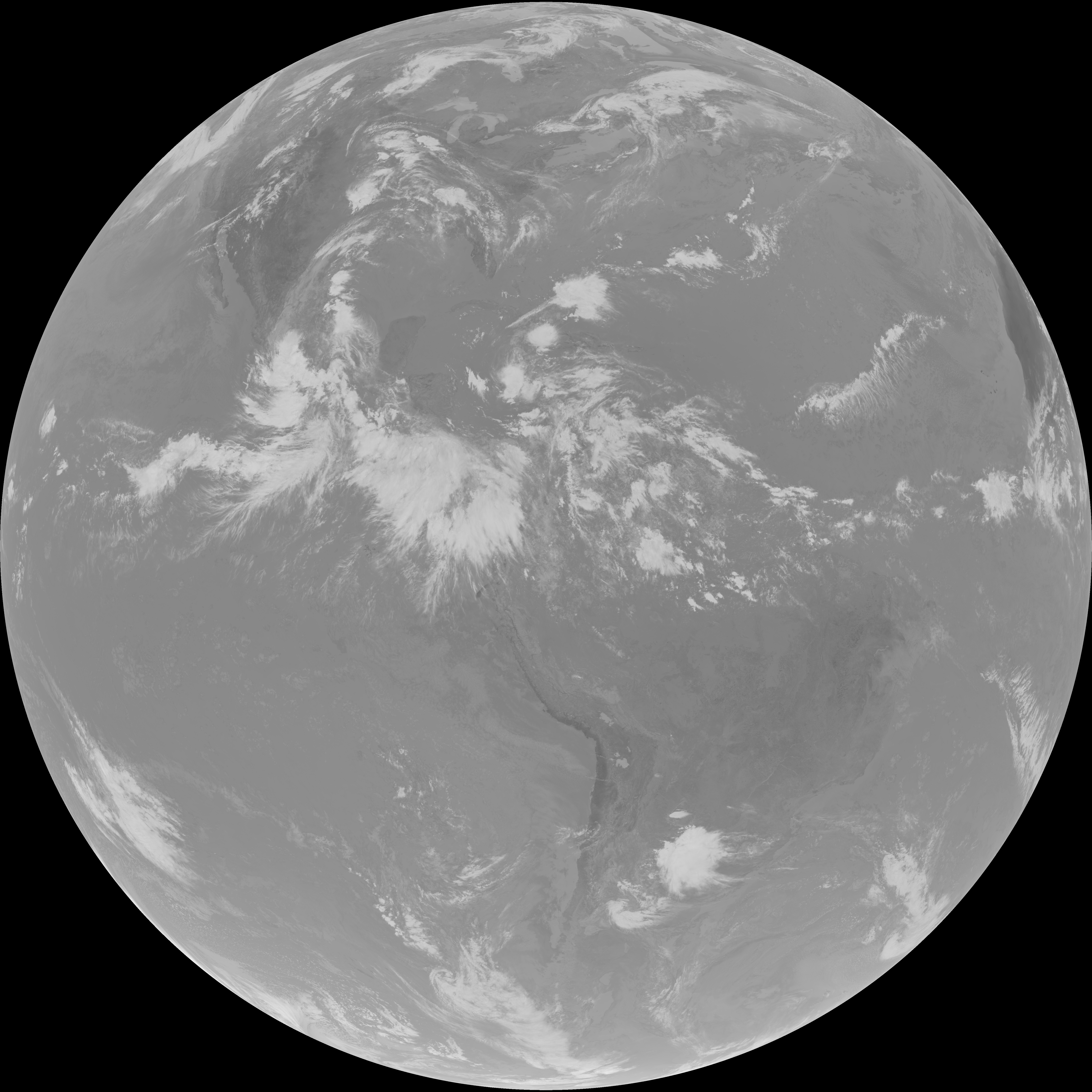
| abi_rgb_Mid-level_Tropospheric_Water_Vapor_map.png | 9015436 | 2026-Jun-07 16:26 |
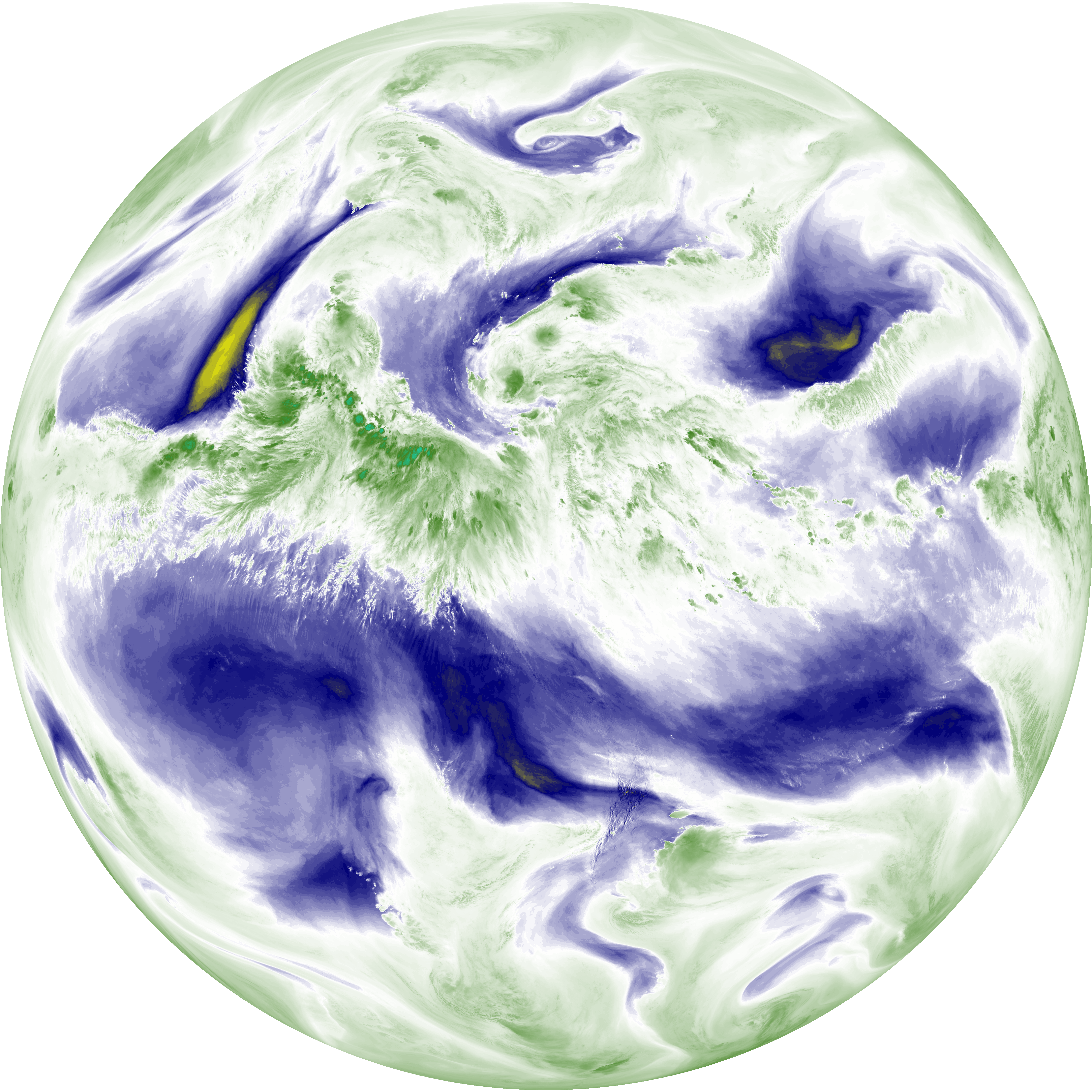
| abi_rgb_Mid-level_Tropospheric_Water_Vapor.png | 8918363 | 2026-Jun-07 16:26 |
| G19_9_20260607T160021Z.png | 6650428 | 2026-Jun-07 16:26 |
| abi_rgb_Upper-Level_Tropospheric_Water_Vapor_map.png | 7827464 | 2026-Jun-07 16:24 |
| abi_rgb_Upper-Level_Tropospheric_Water_Vapor.png | 7719066 | 2026-Jun-07 16:24 |
| G19_8_20260607T160021Z.png | 5791108 | 2026-Jun-07 16:23 |
| G19_2_20260607T160021Z.png | 16261935 | 2026-Jun-07 16:22 |
| abi_rgb_Clean_Longwave_IR_Window_Band_map.png | 14425568 | 2026-Jun-07 16:16 |
| abi_rgb_Clean_Longwave_IR_Window_Band.png | 14398440 | 2026-Jun-07 16:16 |
| G19_13_20260607T160021Z.png | 10770975 | 2026-Jun-07 16:16 |
| abi_rgb_Shortwave_Window_Band_map.png | 14287614 | 2026-Jun-07 16:13 |
| abi_rgb_Shortwave_Window_Band.png | 14239952 | 2026-Jun-07 16:13 |
| G19_7_20260607T160021Z.png | 10419535 | 2026-Jun-07 16:13 |