| Parent directory/ | - | - |
| abi_rgb_Upper-Level_Tropospheric_Water_Vapor_map.png | 7884421 | 2026-Jun-07 16:54 |
| abi_rgb_Upper-Level_Tropospheric_Water_Vapor.png | 7776337 | 2026-Jun-07 16:54 |
| abi_rgb_Shortwave_Window_Band_map.png | 14449305 | 2026-Jun-07 16:44 |
| abi_rgb_Shortwave_Window_Band.png | 14403417 | 2026-Jun-07 16:43 |
| abi_rgb_Mid-level_Tropospheric_Water_Vapor_map.png | 9073024 | 2026-Jun-07 16:56 |
| abi_rgb_Mid-level_Tropospheric_Water_Vapor.png | 8975721 | 2026-Jun-07 16:56 |
| abi_rgb_Infrared_Longwave_Window_Band_map.png | 14669231 | 2026-Jun-07 17:00 |
| abi_rgb_Infrared_Longwave_Window_Band.png | 14643118 | 2026-Jun-07 17:00 |
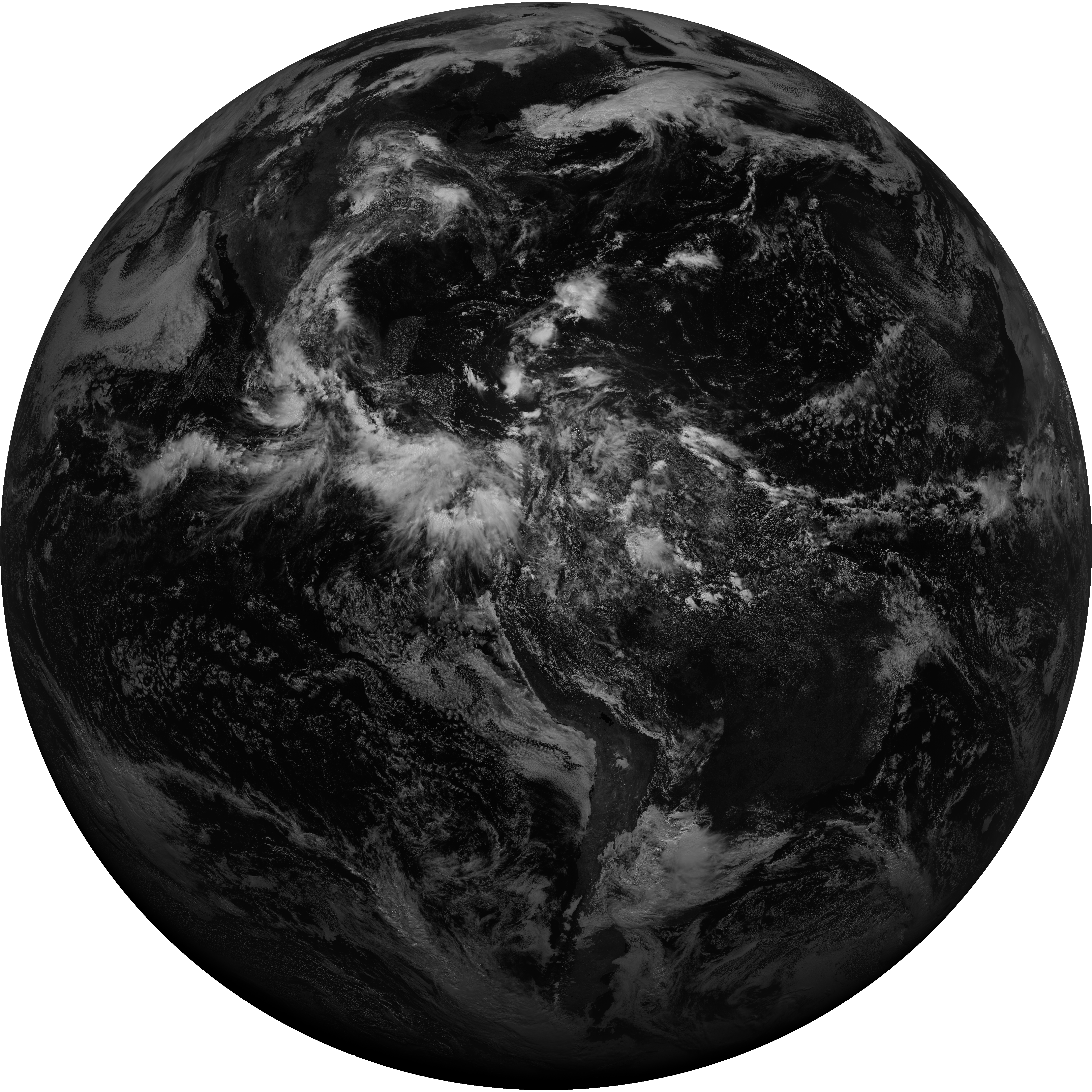
| abi_rgb_Dirty_Longwave_Window_map.png | 6560678 | 2026-Jun-07 17:30 |
| abi_rgb_Dirty_Longwave_Window_-_CIRA_map.png | 5801842 | 2026-Jun-07 17:30 |
| abi_rgb_Dirty_Longwave_Window_-_CIRA.png | 5691612 | 2026-Jun-07 17:30 |
| abi_rgb_Dirty_Longwave_Window.png | 6454191 | 2026-Jun-07 17:30 |
| abi_rgb_Clean_Longwave_IR_Window_Band_map.png | 14503318 | 2026-Jun-07 16:47 |
| abi_rgb_Clean_Longwave_IR_Window_Band.png | 14476983 | 2026-Jun-07 16:47 |
| G19_9_20260607T163021Z.png | 6690648 | 2026-Jun-07 16:56 |
| G19_8_20260607T163021Z.png | 5832985 | 2026-Jun-07 16:54 |
| G19_7_20260607T163021Z.png | 10531248 | 2026-Jun-07 16:43 |
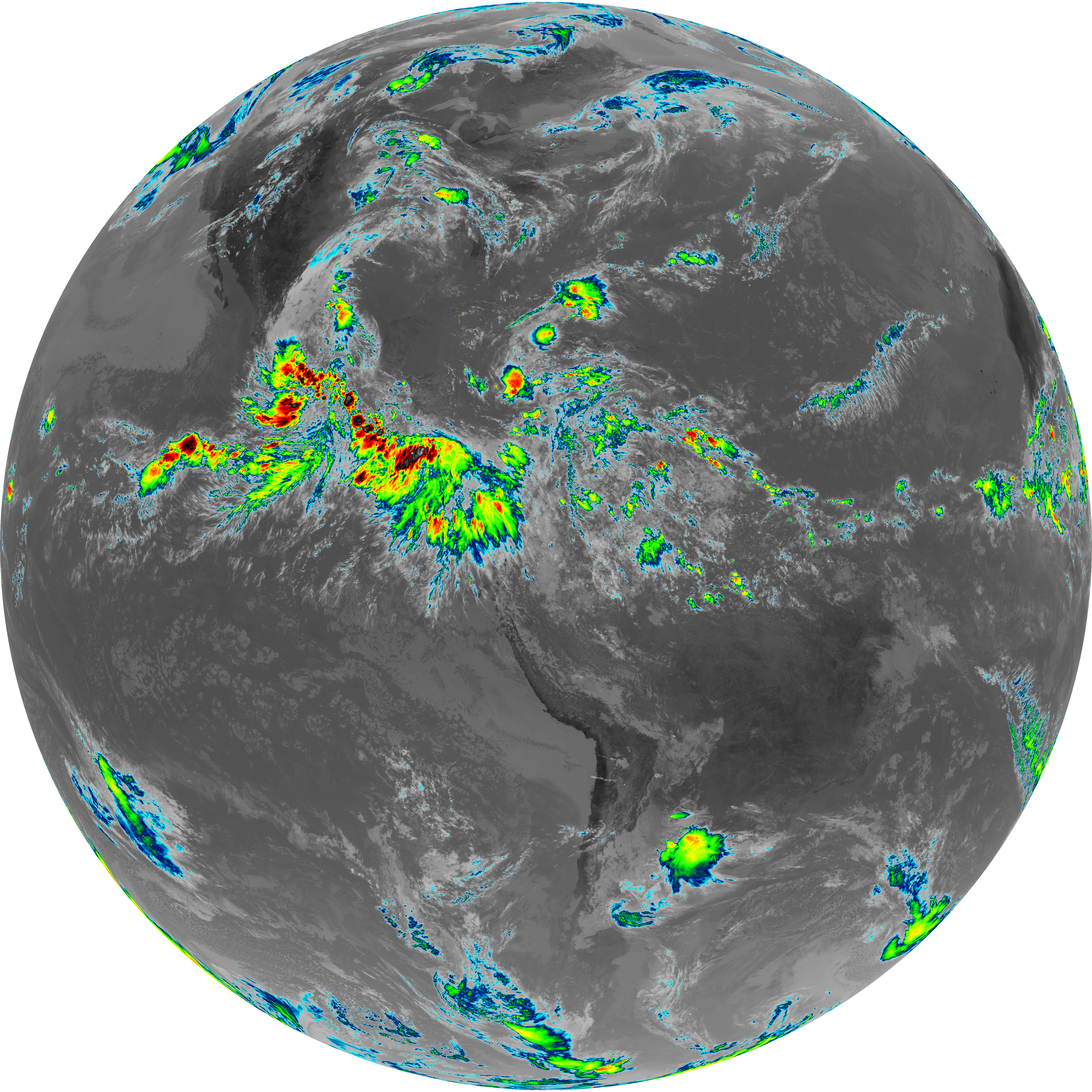
| G19_2_20260607T163021Z.png | 16431369 | 2026-Jun-07 16:52 |
| G19_15_20260607T163021Z.png | 4750953 | 2026-Jun-07 17:29 |
| G19_14_20260607T163021Z.png | 10975728 | 2026-Jun-07 16:59 |
| G19_13_20260607T163021Z.png | 10840140 | 2026-Jun-07 16:46 |