| Parent directory/ | - | - |
| G19_13_20260607T170021Z.png | 10894328 | 2026-Jun-07 17:16 |
| G19_14_20260607T170021Z.png | 11025338 | 2026-Jun-07 17:29 |
| G19_15_20260607T170021Z.png | 5446628 | 2026-Jun-07 17:59 |
| G19_2_20260607T170021Z.png | 16460705 | 2026-Jun-07 17:22 |
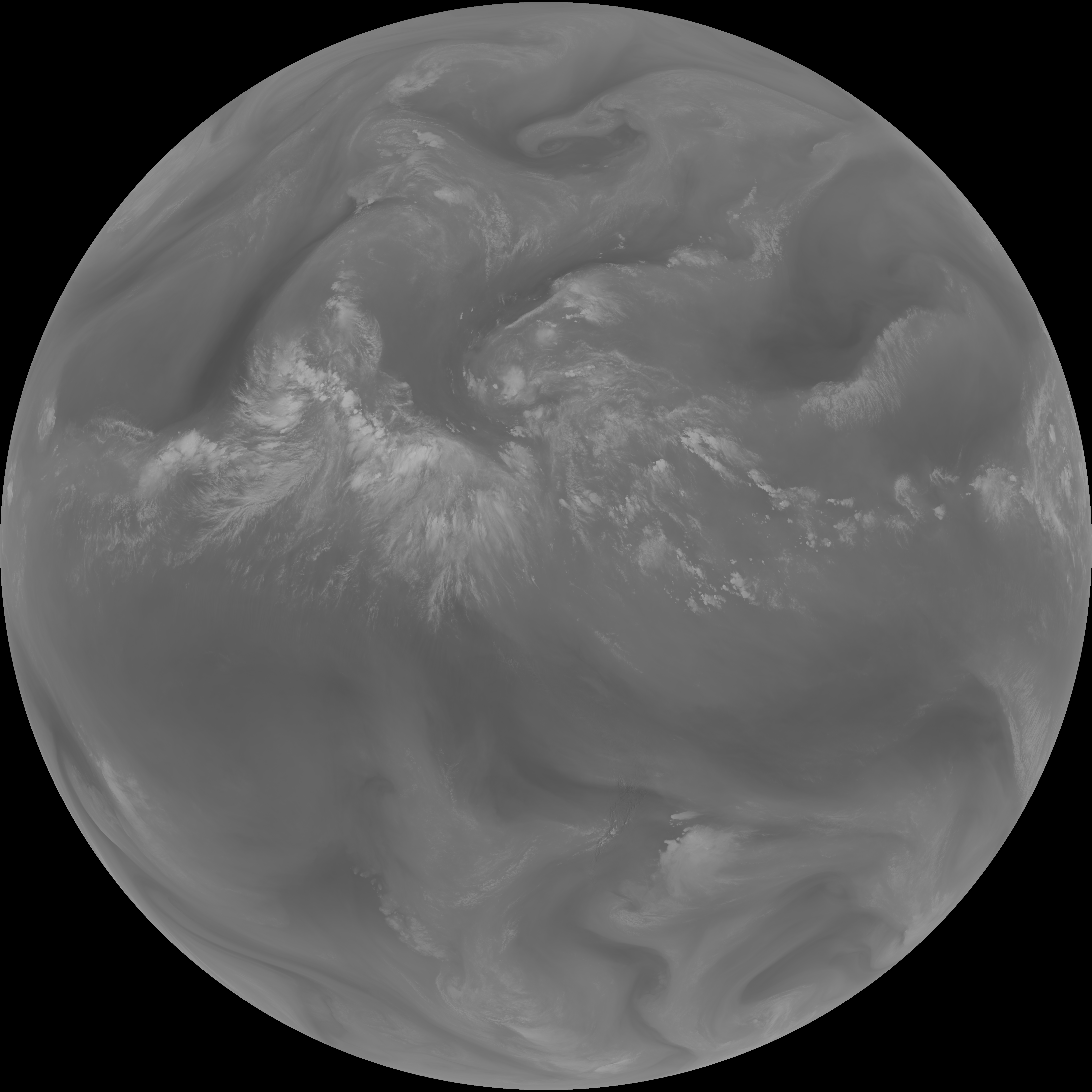
| G19_7_20260607T170021Z.png | 10586863 | 2026-Jun-07 17:13 |
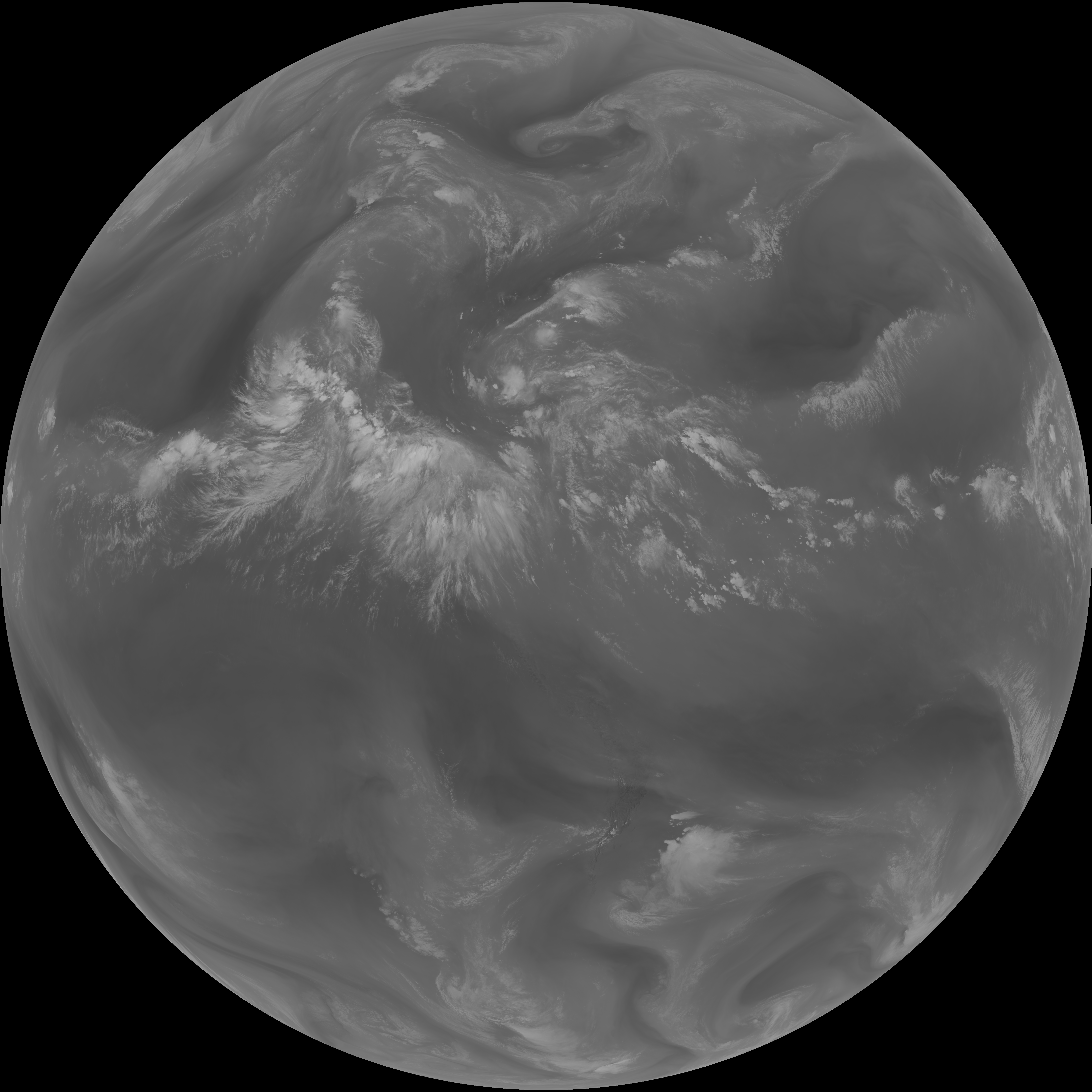
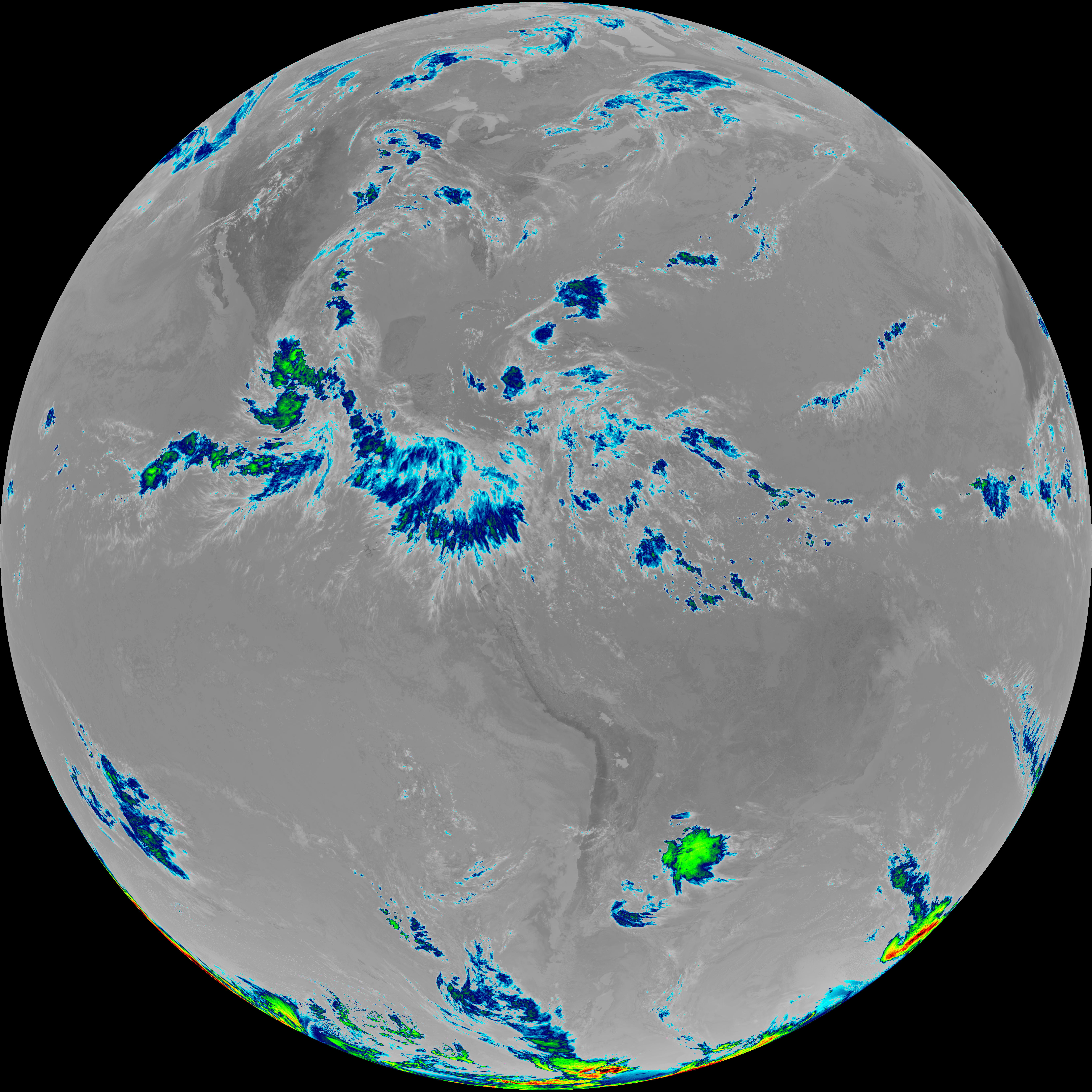
| G19_8_20260607T170021Z.png | 5866075 | 2026-Jun-07 17:24 |
| G19_9_20260607T170021Z.png | 6739431 | 2026-Jun-07 17:26 |
| abi_rgb_Clean_Longwave_IR_Window_Band.png | 14543898 | 2026-Jun-07 17:17 |
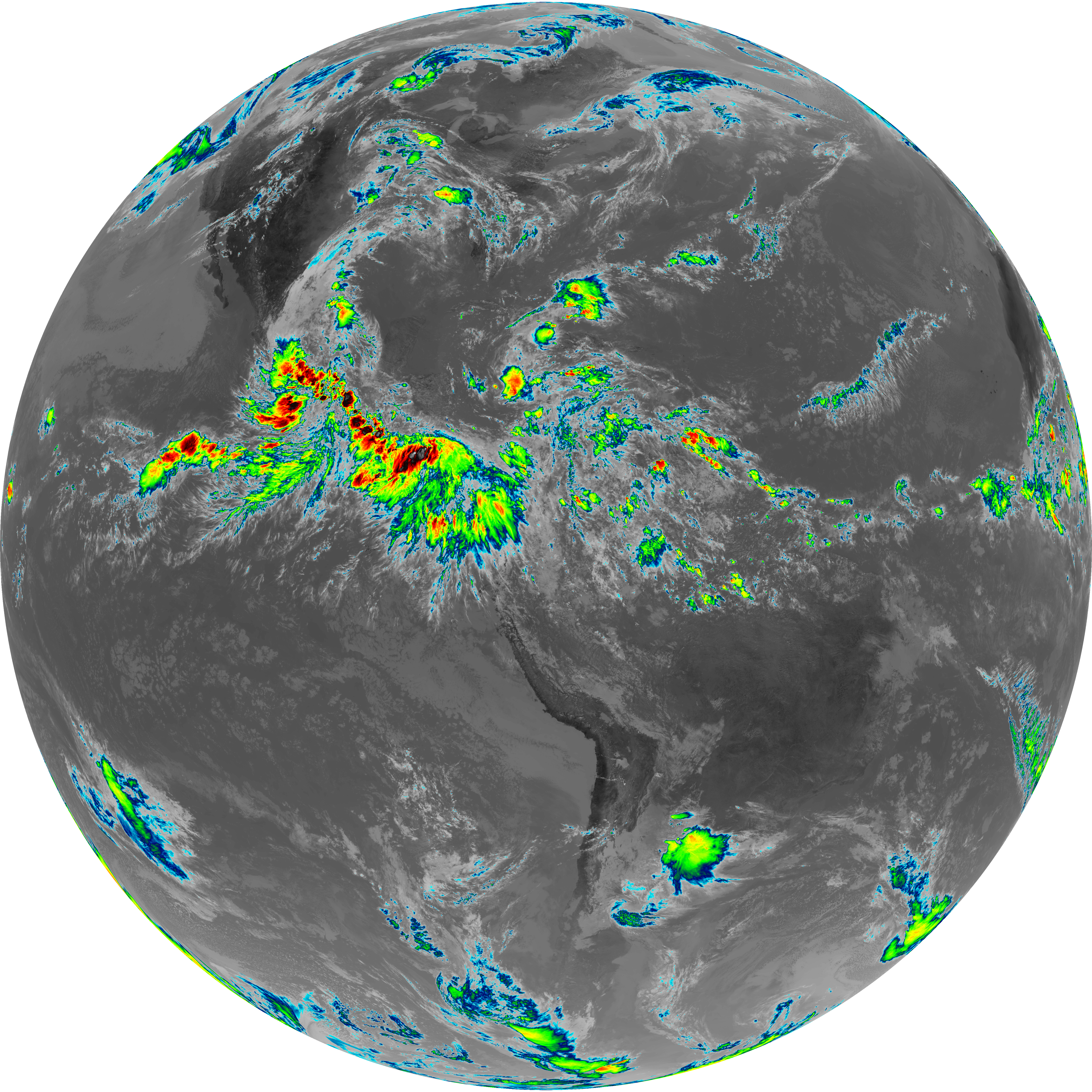
| abi_rgb_Clean_Longwave_IR_Window_Band_map.png | 14569369 | 2026-Jun-07 17:17 |
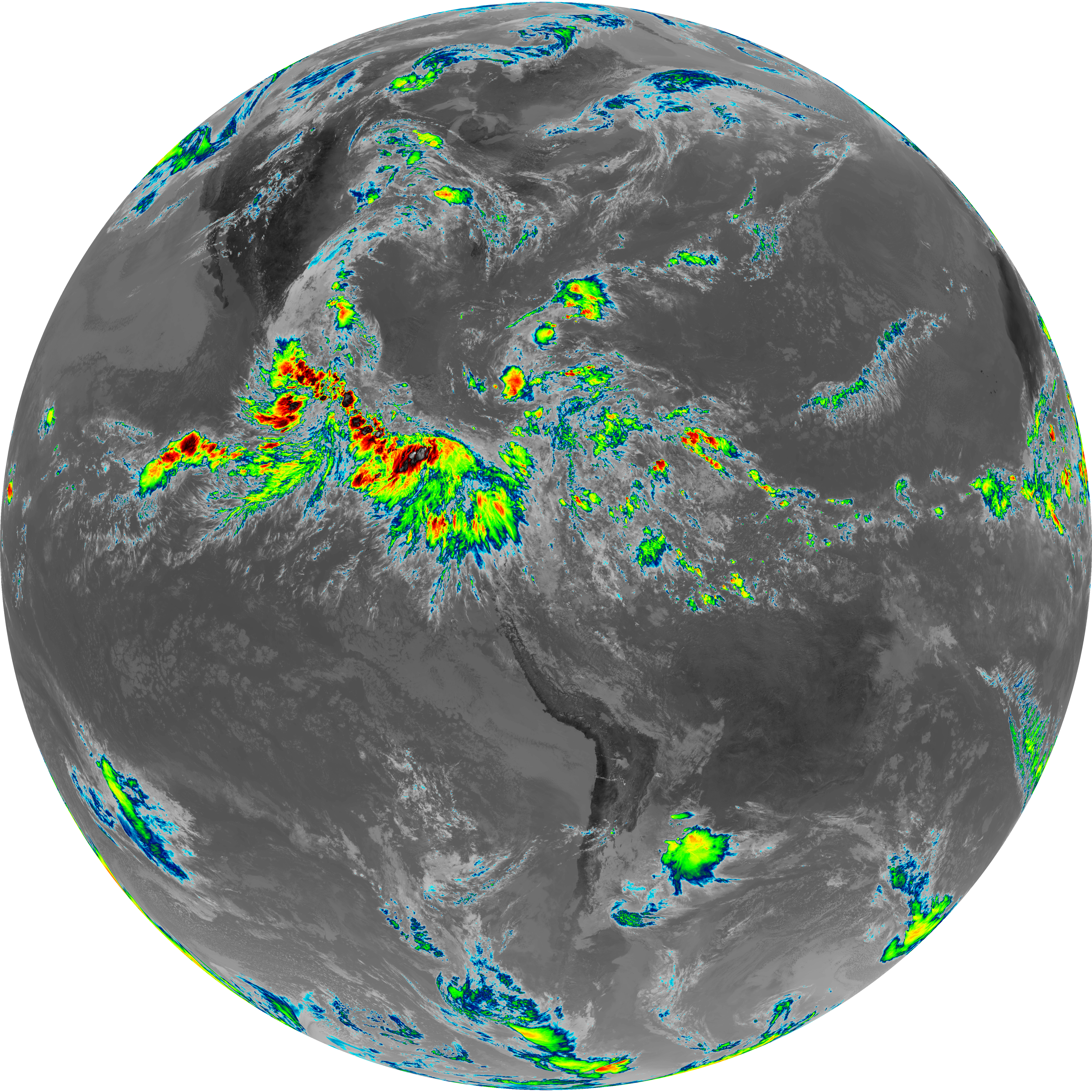
| abi_rgb_Dirty_Longwave_Window.png | 7373861 | 2026-Jun-07 18:00 |
| abi_rgb_Dirty_Longwave_Window_-_CIRA.png | 6506508 | 2026-Jun-07 18:00 |
| abi_rgb_Dirty_Longwave_Window_-_CIRA_map.png | 6598522 | 2026-Jun-07 18:00 |
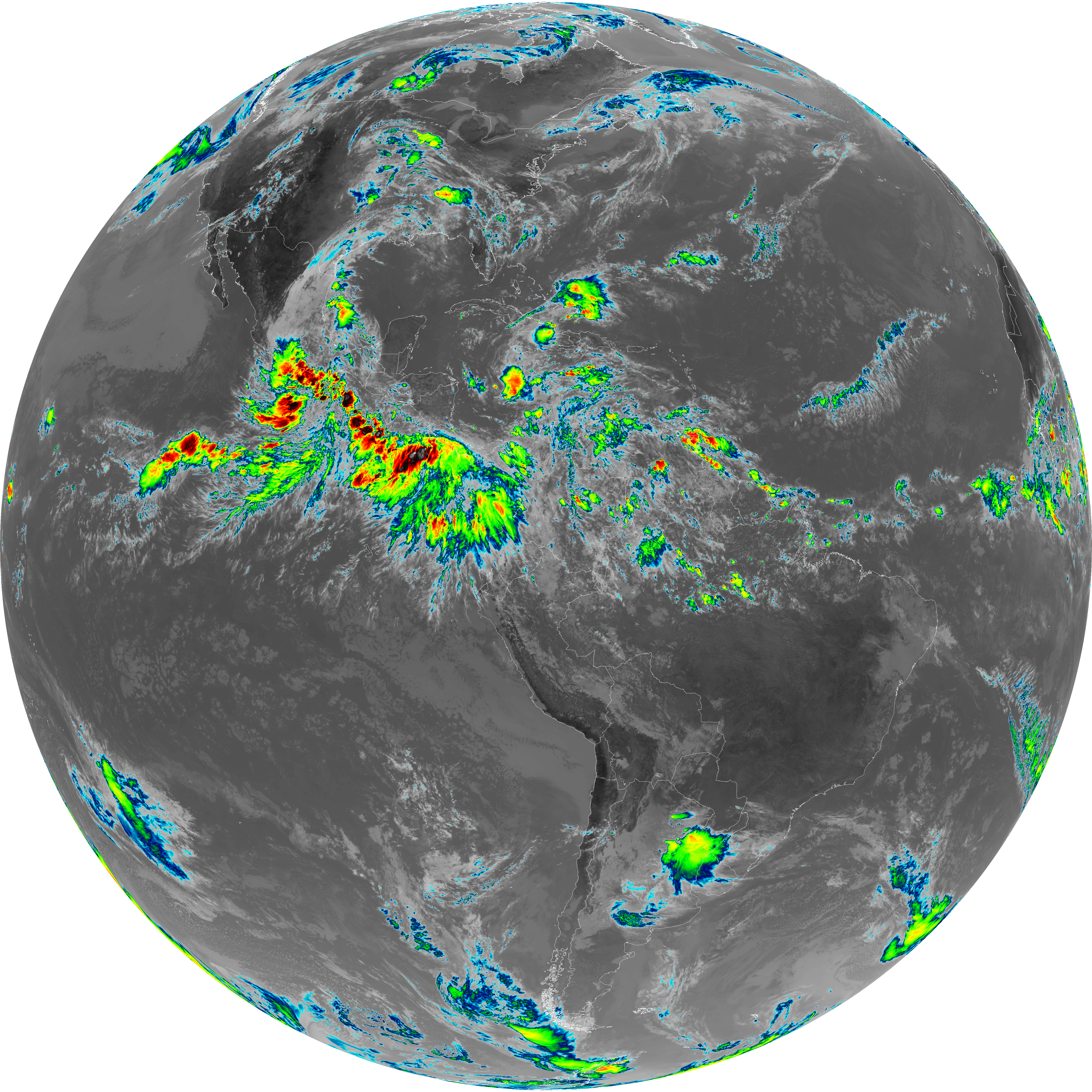
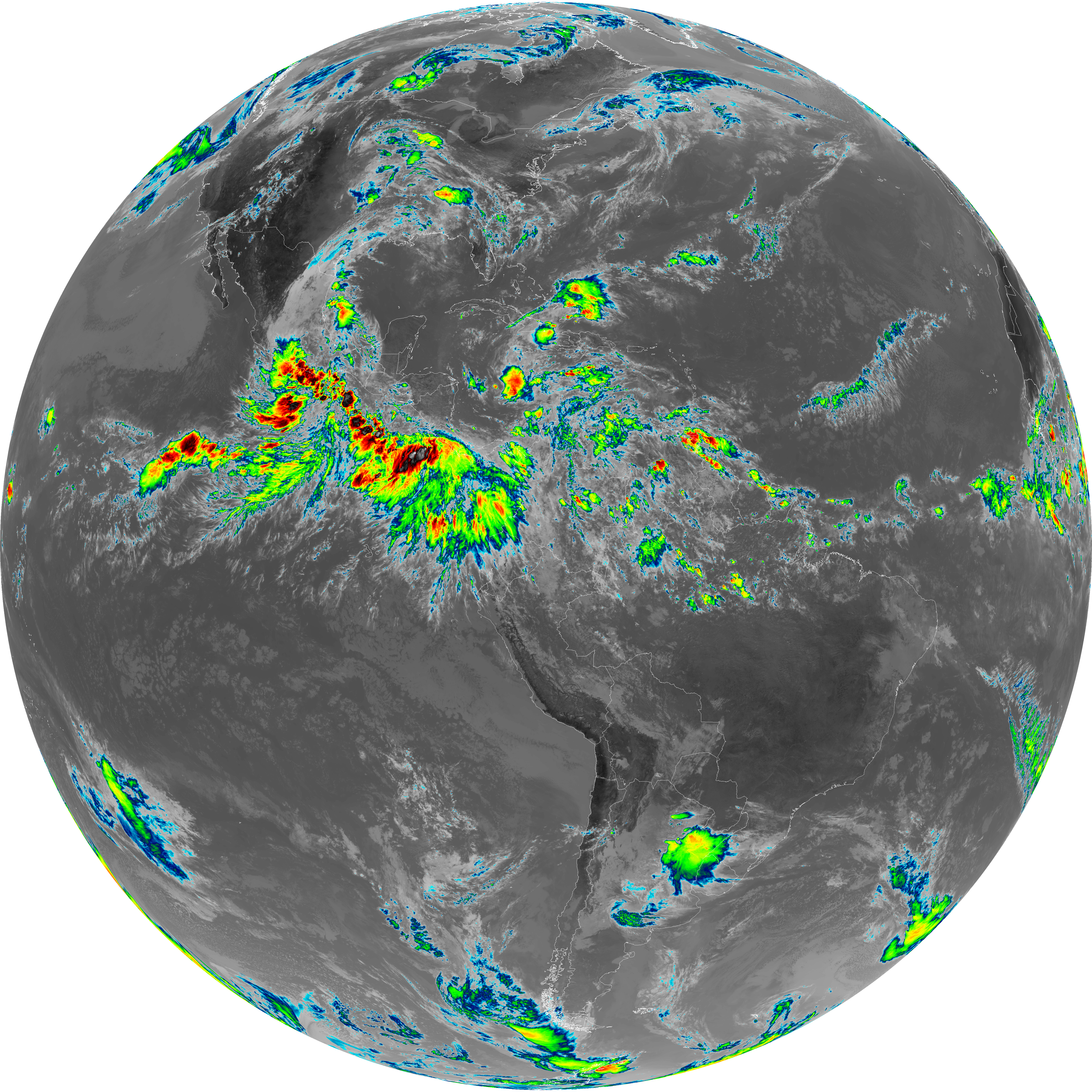
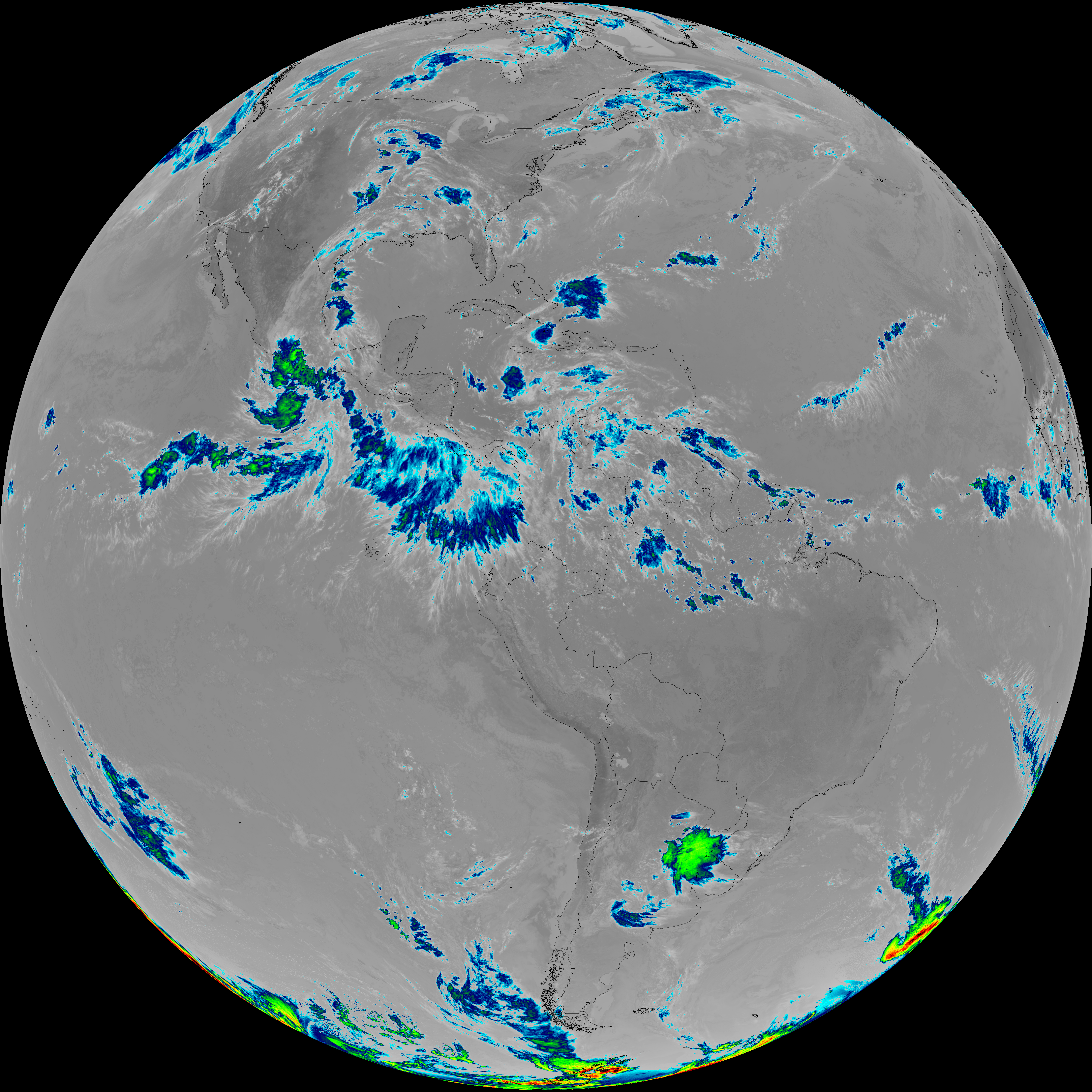
| abi_rgb_Dirty_Longwave_Window_map.png | 7456926 | 2026-Jun-07 18:00 |
| abi_rgb_Infrared_Longwave_Window_Band.png | 14709592 | 2026-Jun-07 17:30 |
| abi_rgb_Infrared_Longwave_Window_Band_map.png | 14734864 | 2026-Jun-07 17:30 |
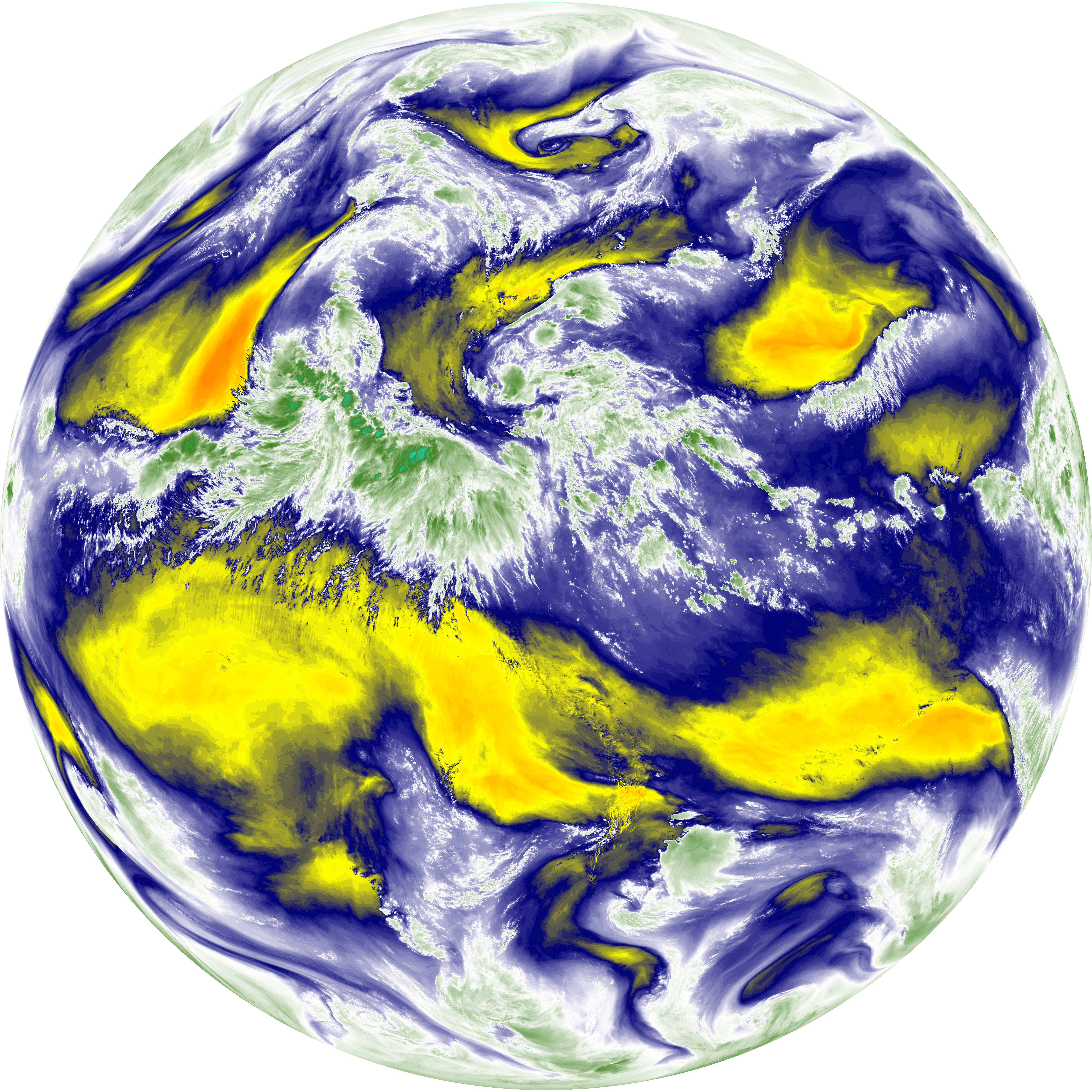
| abi_rgb_Mid-level_Tropospheric_Water_Vapor.png | 9046012 | 2026-Jun-07 17:27 |
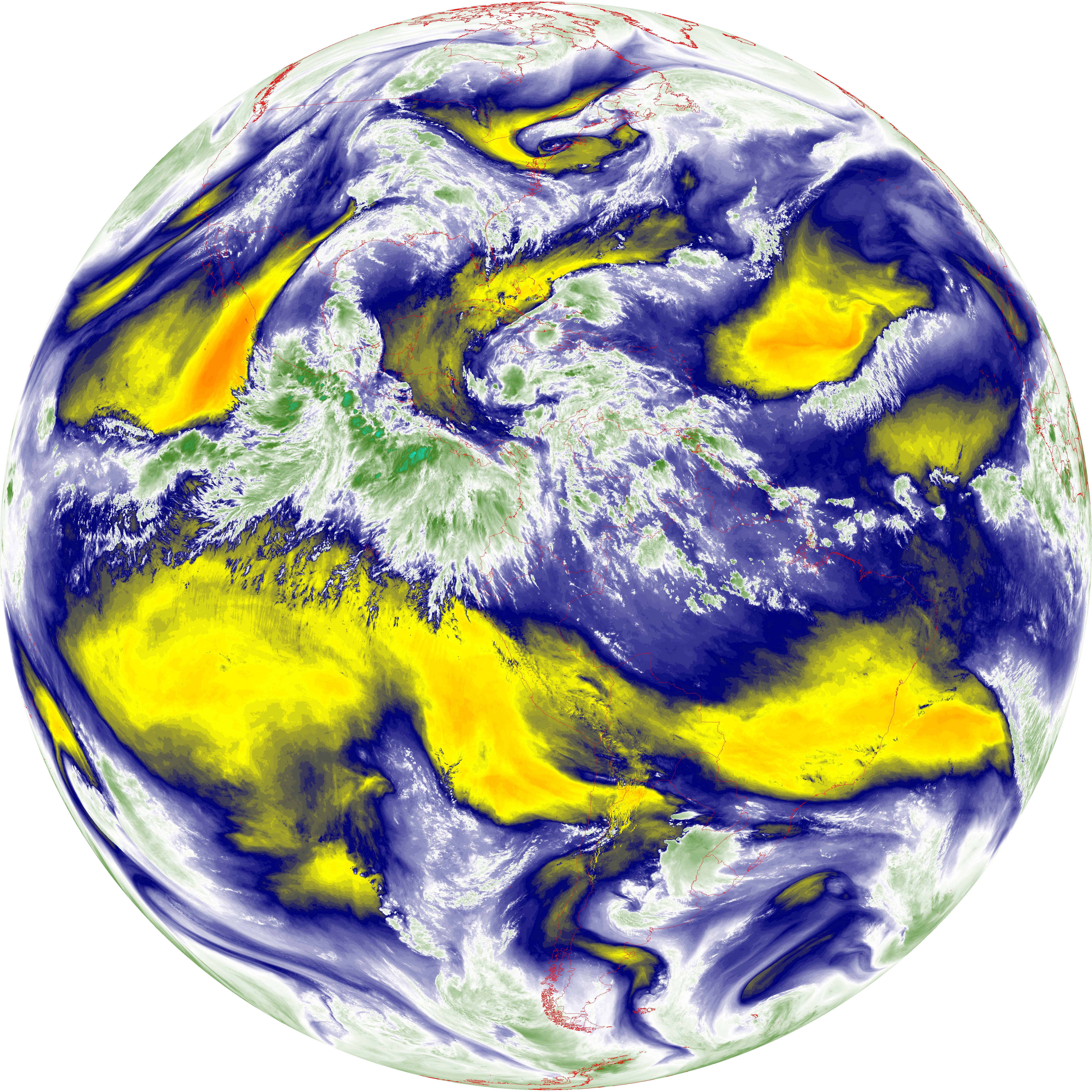
| abi_rgb_Mid-level_Tropospheric_Water_Vapor_map.png | 9142645 | 2026-Jun-07 17:27 |
| abi_rgb_Shortwave_Window_Band.png | 14475429 | 2026-Jun-07 17:14 |
| abi_rgb_Shortwave_Window_Band_map.png | 14520699 | 2026-Jun-07 17:14 |
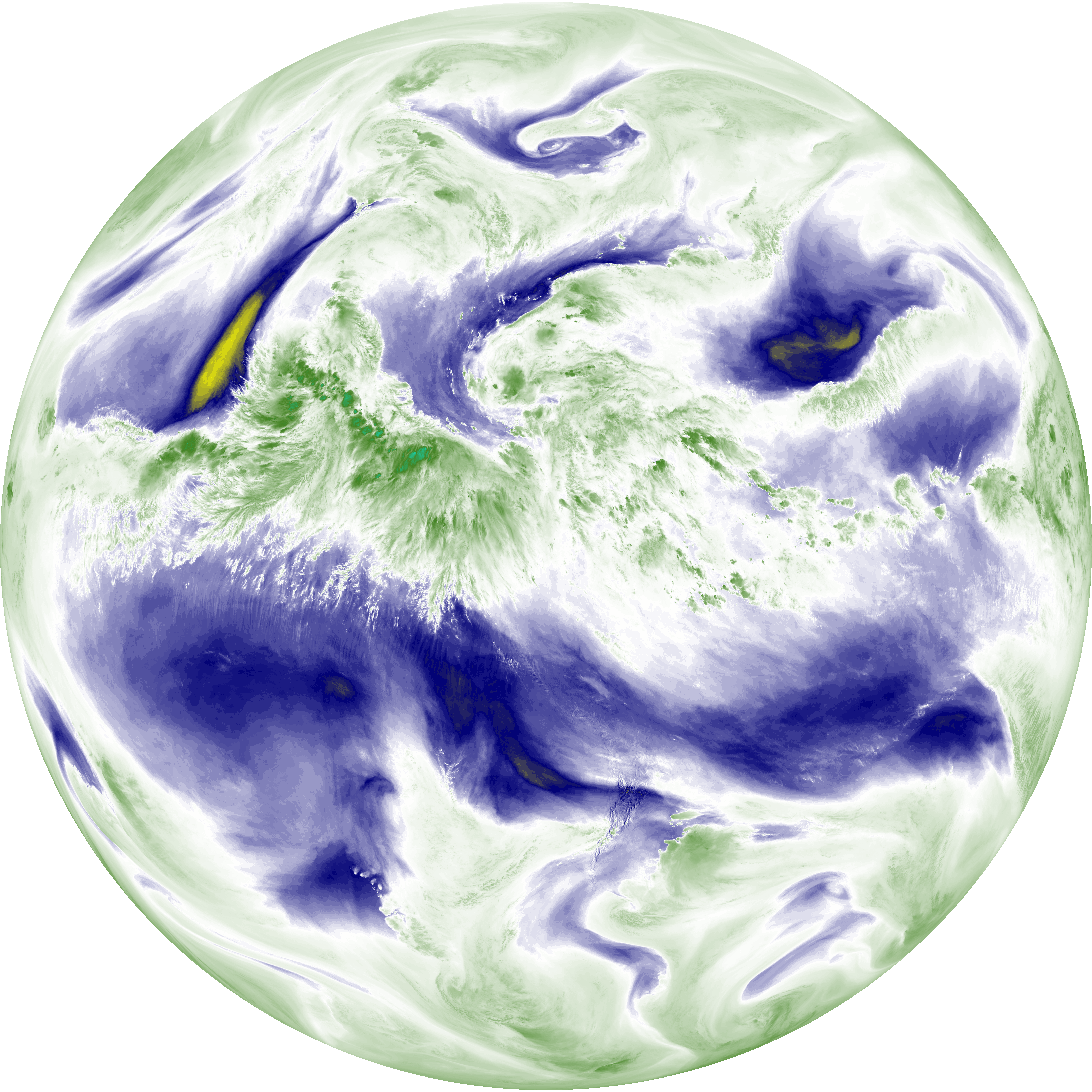
| abi_rgb_Upper-Level_Tropospheric_Water_Vapor.png | 7820846 | 2026-Jun-07 17:24 |
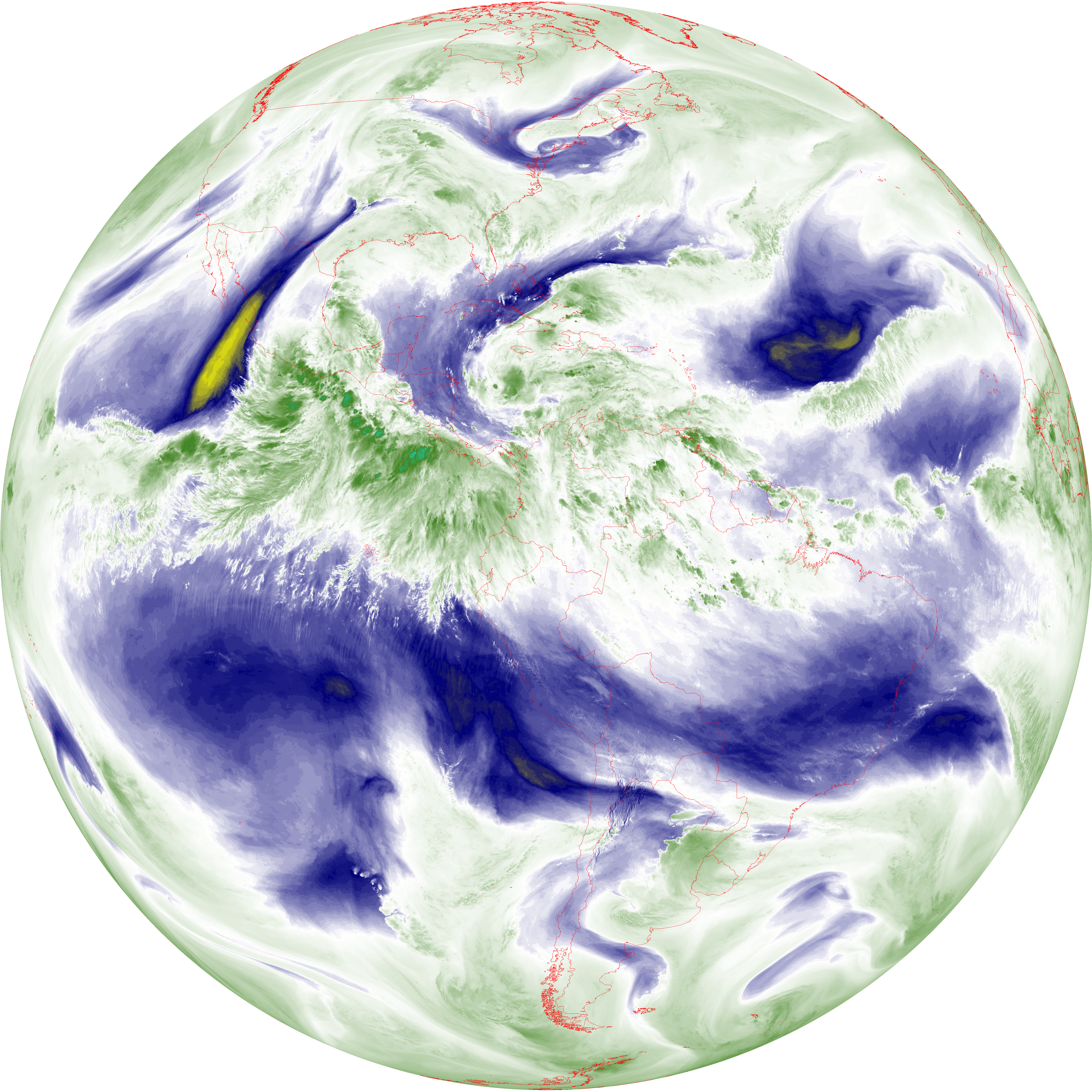
| abi_rgb_Upper-Level_Tropospheric_Water_Vapor_map.png | 7927922 | 2026-Jun-07 17:24 |