| Parent directory/ | - | - |
| G19_13_20260607T173021Z.png | 10930257 | 2026-Jun-07 17:46 |
| G19_14_20260607T173021Z.png | 11064881 | 2026-Jun-07 17:59 |
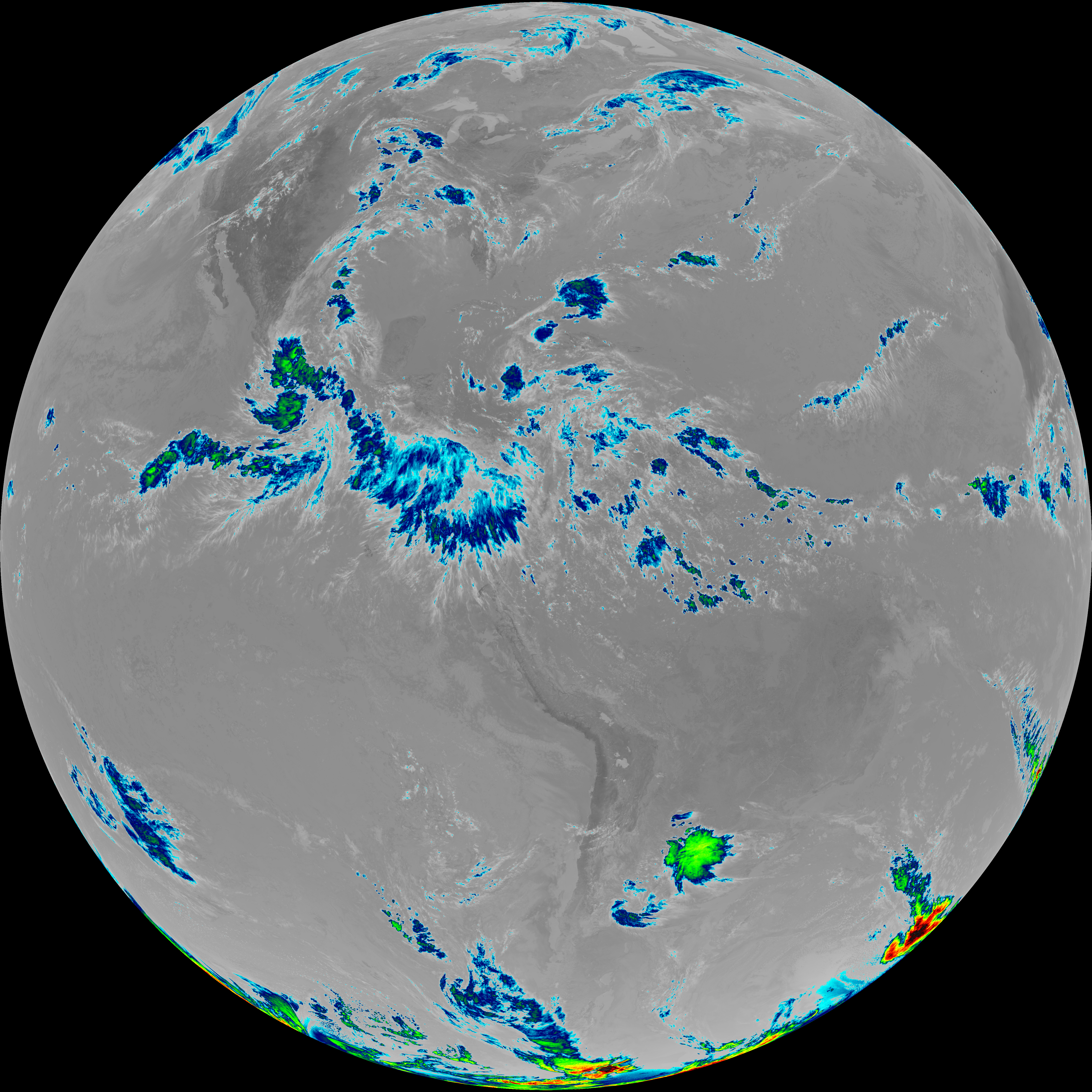
| G19_15_20260607T173021Z.png | 4669677 | 2026-Jun-07 18:29 |
| G19_2_20260607T173021Z.png | 16351987 | 2026-Jun-07 17:52 |
| G19_7_20260607T173021Z.png | 10569484 | 2026-Jun-07 17:43 |
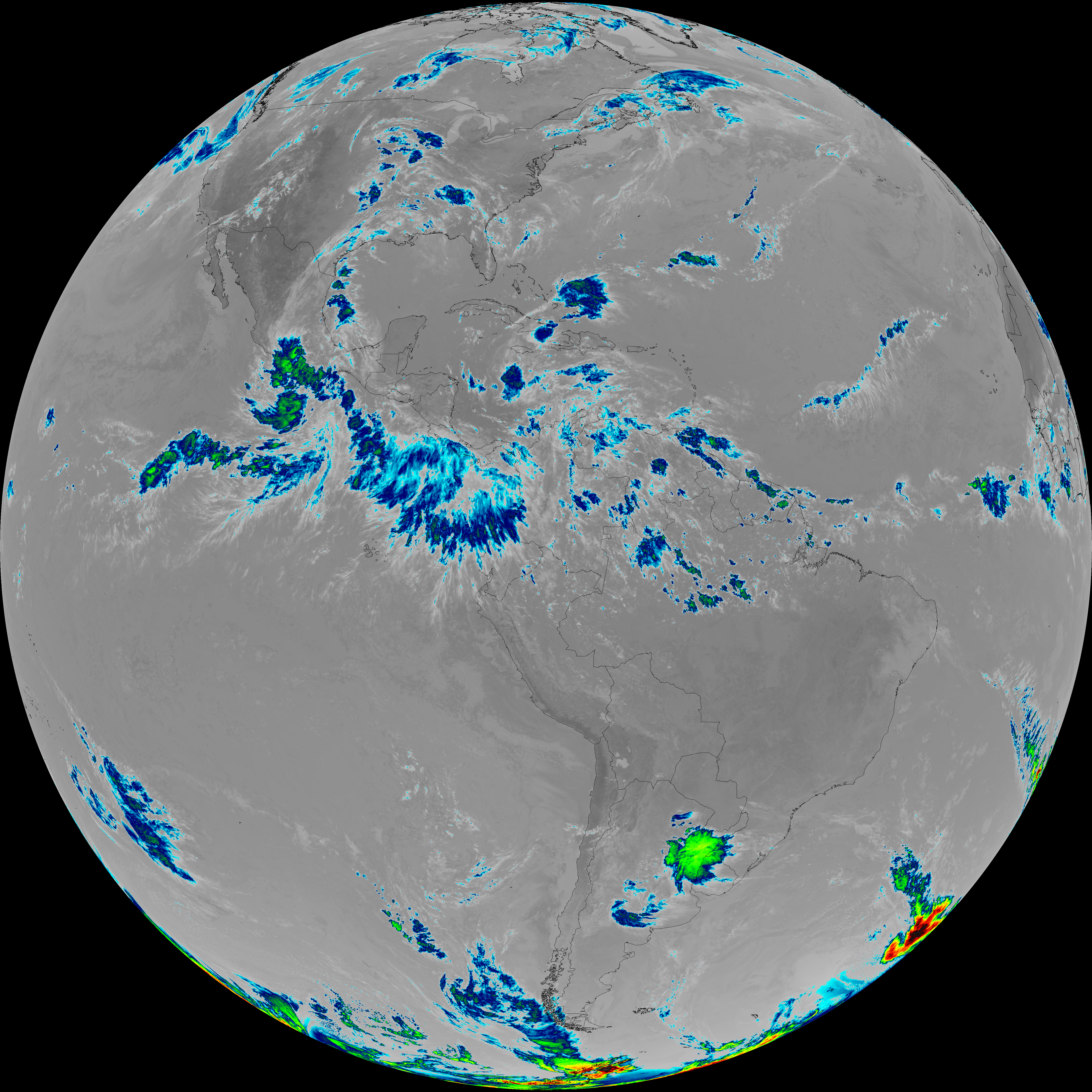
| G19_8_20260607T173021Z.png | 5905825 | 2026-Jun-07 17:54 |
| G19_9_20260607T173021Z.png | 6785634 | 2026-Jun-07 17:56 |
| abi_rgb_Clean_Longwave_IR_Window_Band.png | 14592922 | 2026-Jun-07 17:46 |
| abi_rgb_Clean_Longwave_IR_Window_Band_map.png | 14618793 | 2026-Jun-07 17:46 |
| abi_rgb_Dirty_Longwave_Window.png | 6295332 | 2026-Jun-07 18:29 |
| abi_rgb_Dirty_Longwave_Window_-_CIRA.png | 5605668 | 2026-Jun-07 18:30 |
| abi_rgb_Dirty_Longwave_Window_-_CIRA_map.png | 5721368 | 2026-Jun-07 18:30 |
| abi_rgb_Dirty_Longwave_Window_map.png | 6403704 | 2026-Jun-07 18:29 |
| abi_rgb_Infrared_Longwave_Window_Band.png | 14763674 | 2026-Jun-07 17:59 |
| abi_rgb_Infrared_Longwave_Window_Band_map.png | 14789257 | 2026-Jun-07 17:59 |
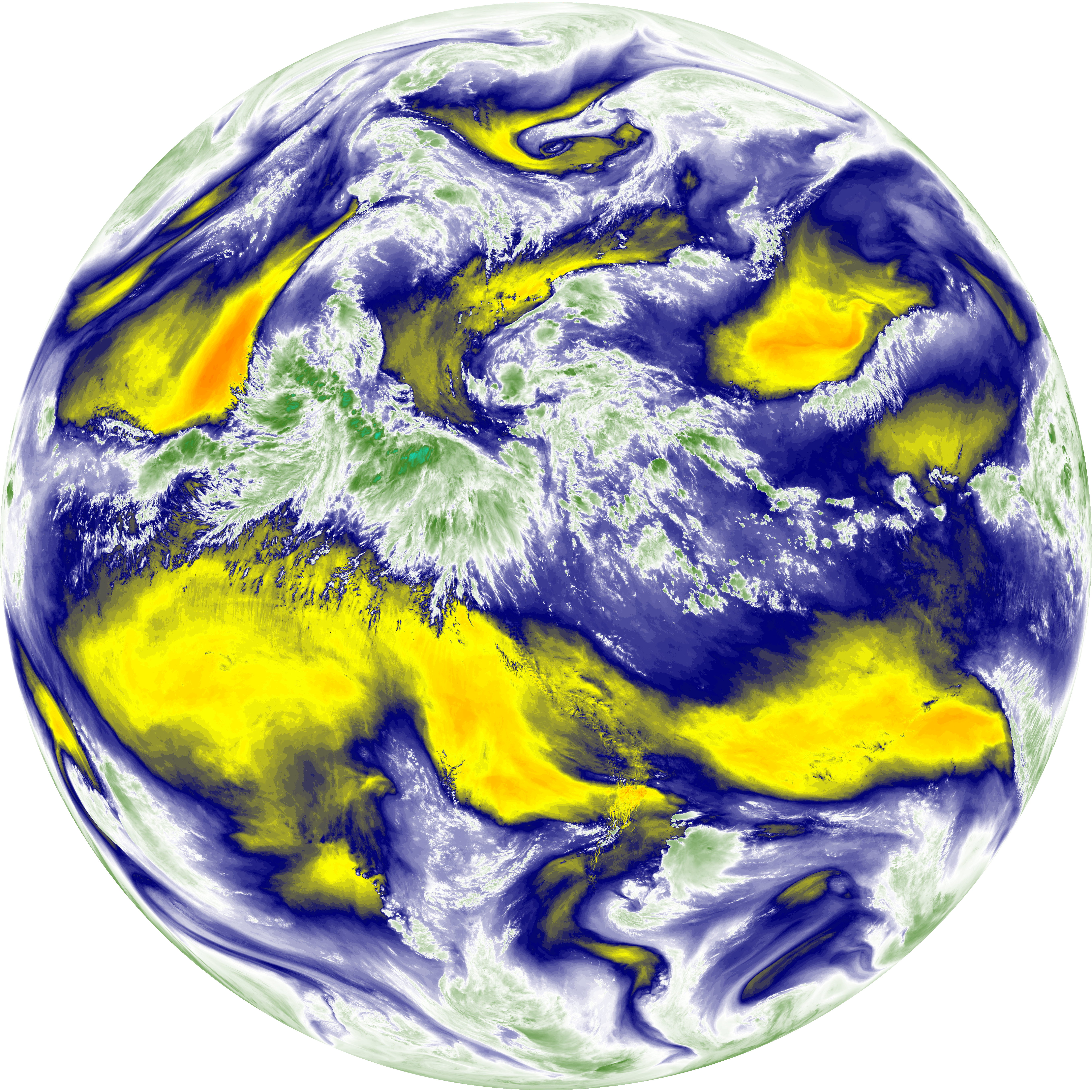
| abi_rgb_Mid-level_Tropospheric_Water_Vapor.png | 9102943 | 2026-Jun-07 17:56 |
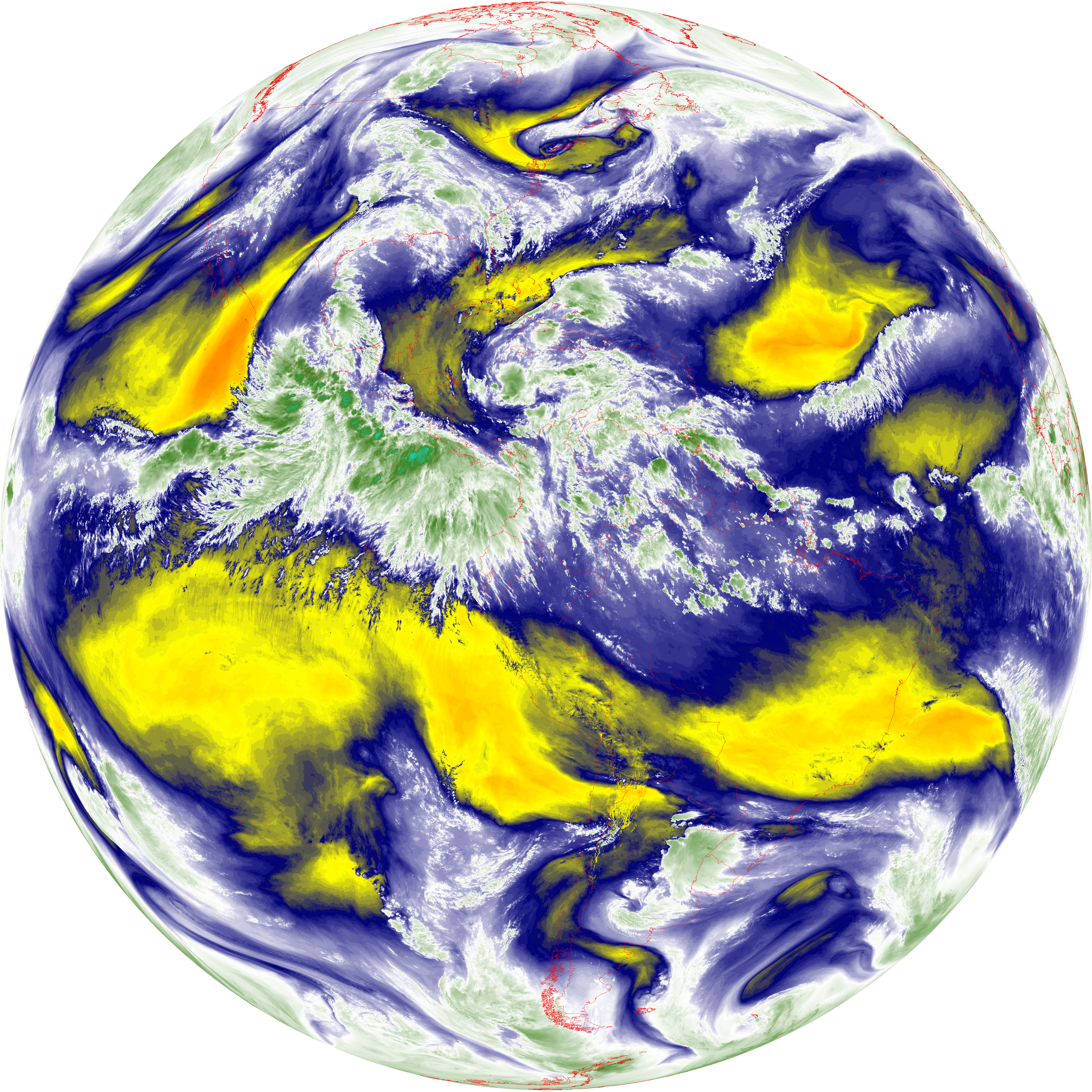
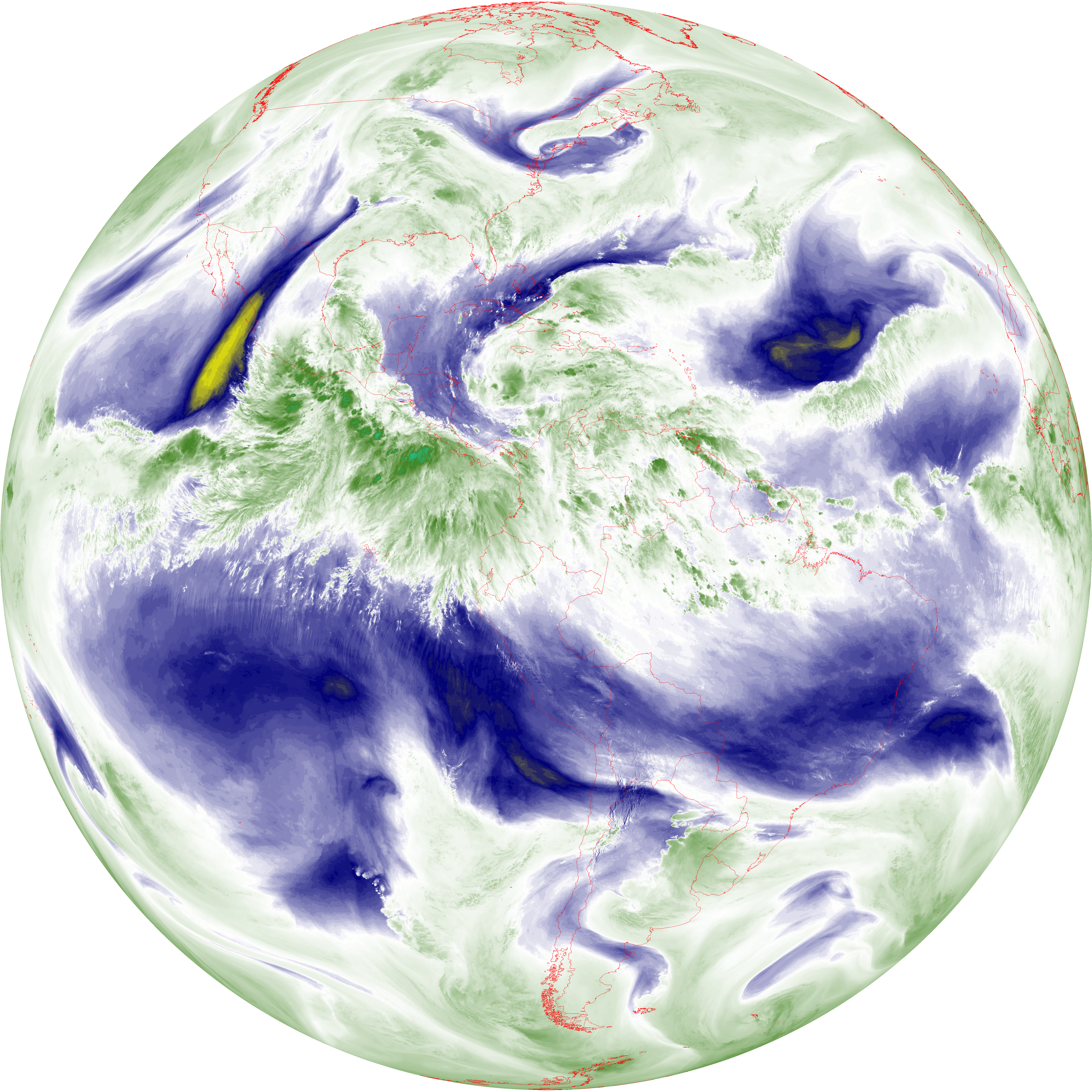
| abi_rgb_Mid-level_Tropospheric_Water_Vapor_map.png | 9199486 | 2026-Jun-07 17:56 |
| abi_rgb_Shortwave_Window_Band.png | 14442269 | 2026-Jun-07 17:43 |
| abi_rgb_Shortwave_Window_Band_map.png | 14487556 | 2026-Jun-07 17:43 |
| abi_rgb_Upper-Level_Tropospheric_Water_Vapor.png | 7876313 | 2026-Jun-07 17:54 |
| abi_rgb_Upper-Level_Tropospheric_Water_Vapor_map.png | 7983011 | 2026-Jun-07 17:54 |