| Parent directory/ | - | - |
| G19_8_20260607T180021Z.png | 5945632 | 2026-Jun-07 18:24 |
| G19_15_20260607T180021Z.png | 6046193 | 2026-Jun-07 18:59 |
| G19_9_20260607T180021Z.png | 6834756 | 2026-Jun-07 18:26 |
| abi_rgb_Dirty_Longwave_Window_-_CIRA.png | 7178960 | 2026-Jun-07 19:00 |
| abi_rgb_Dirty_Longwave_Window_-_CIRA_map.png | 7265632 | 2026-Jun-07 19:00 |
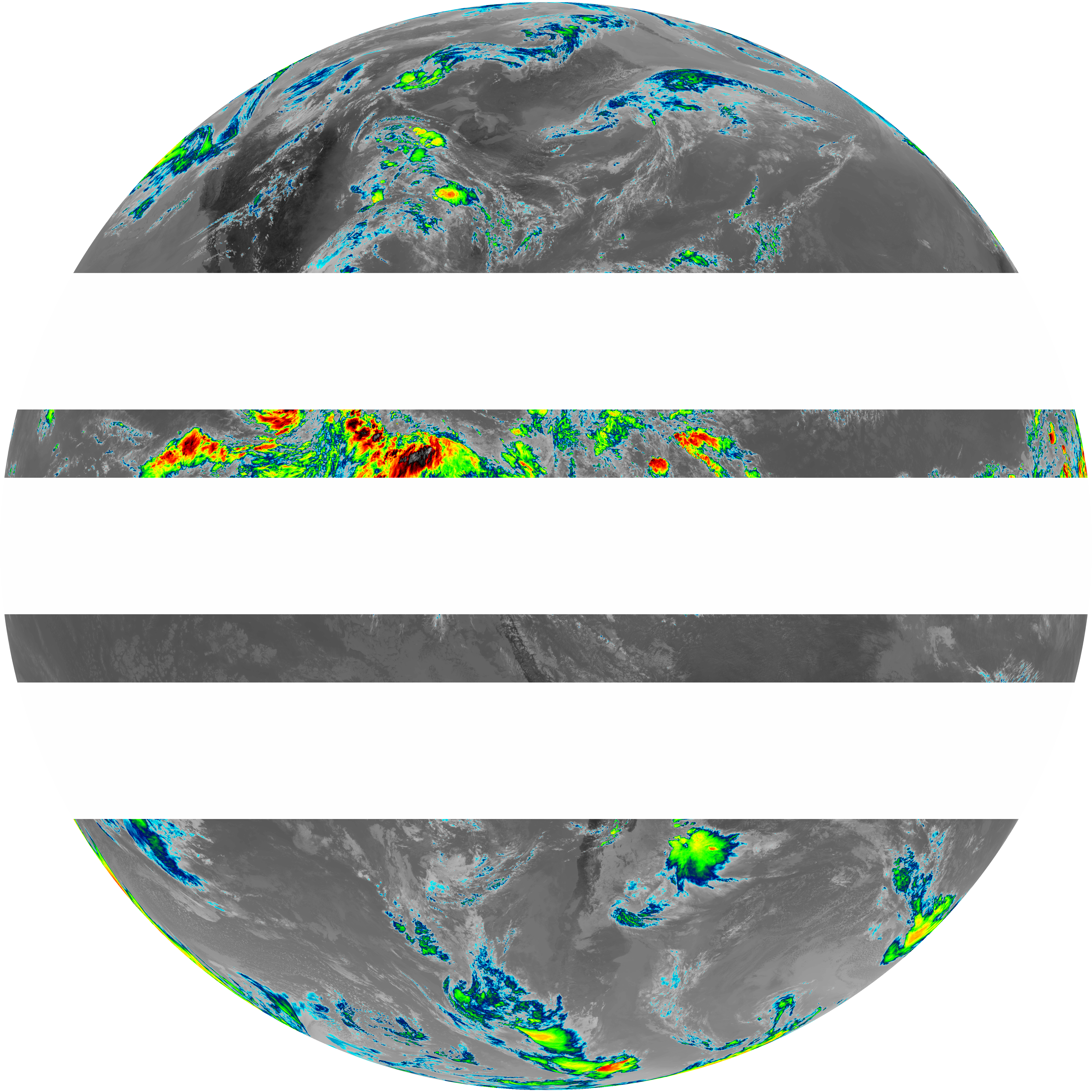
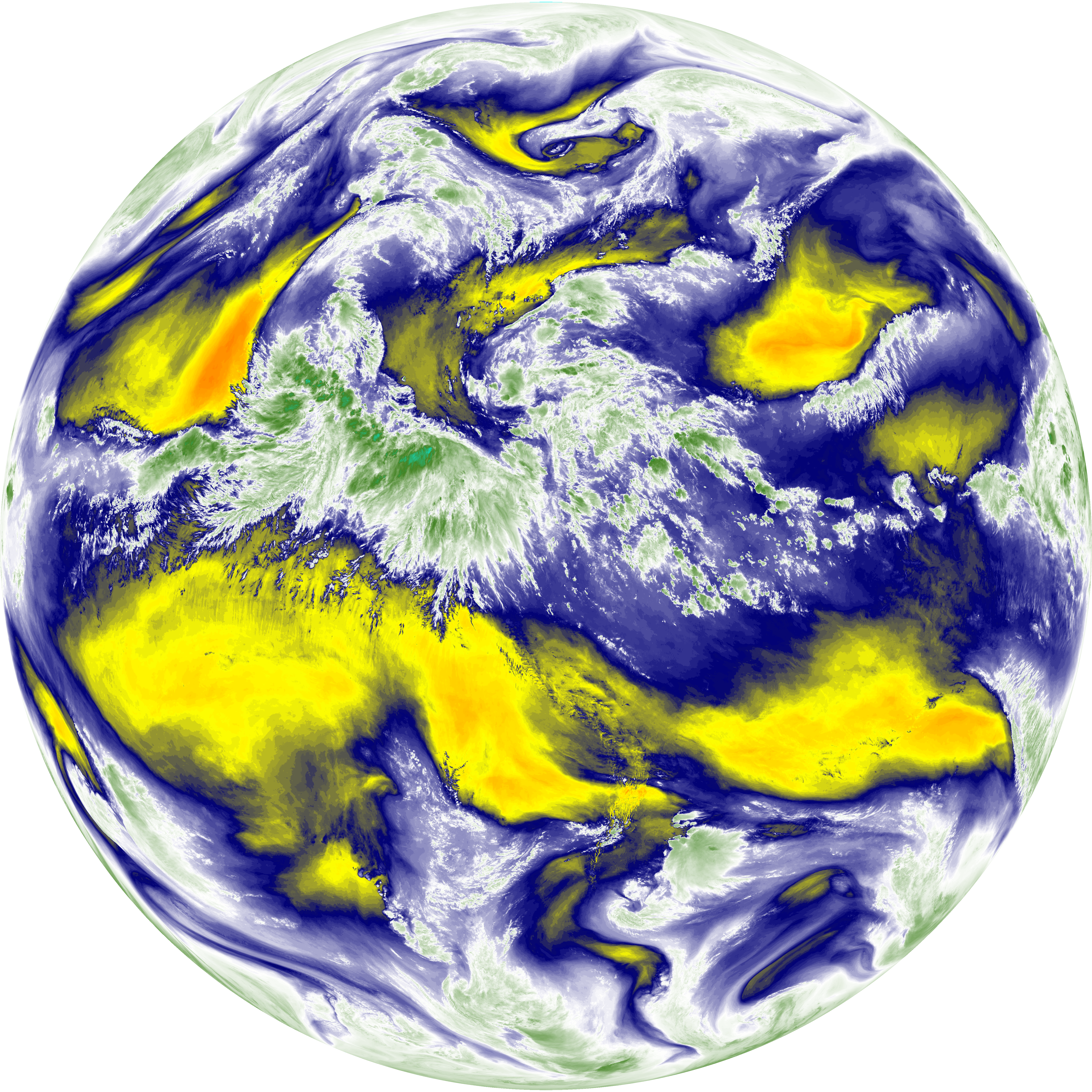
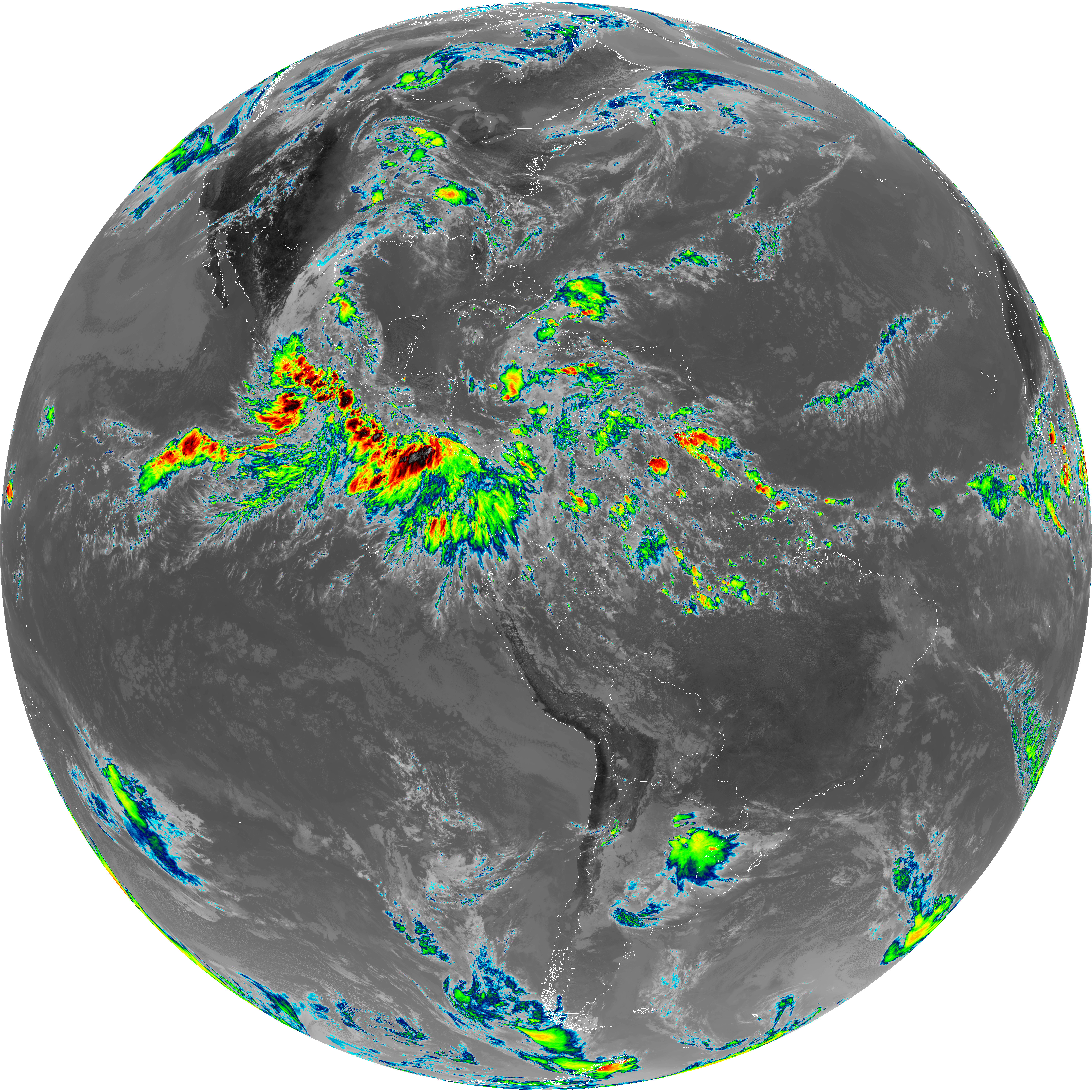
| abi_rgb_Upper-Level_Tropospheric_Water_Vapor.png | 7932701 | 2026-Jun-07 18:24 |
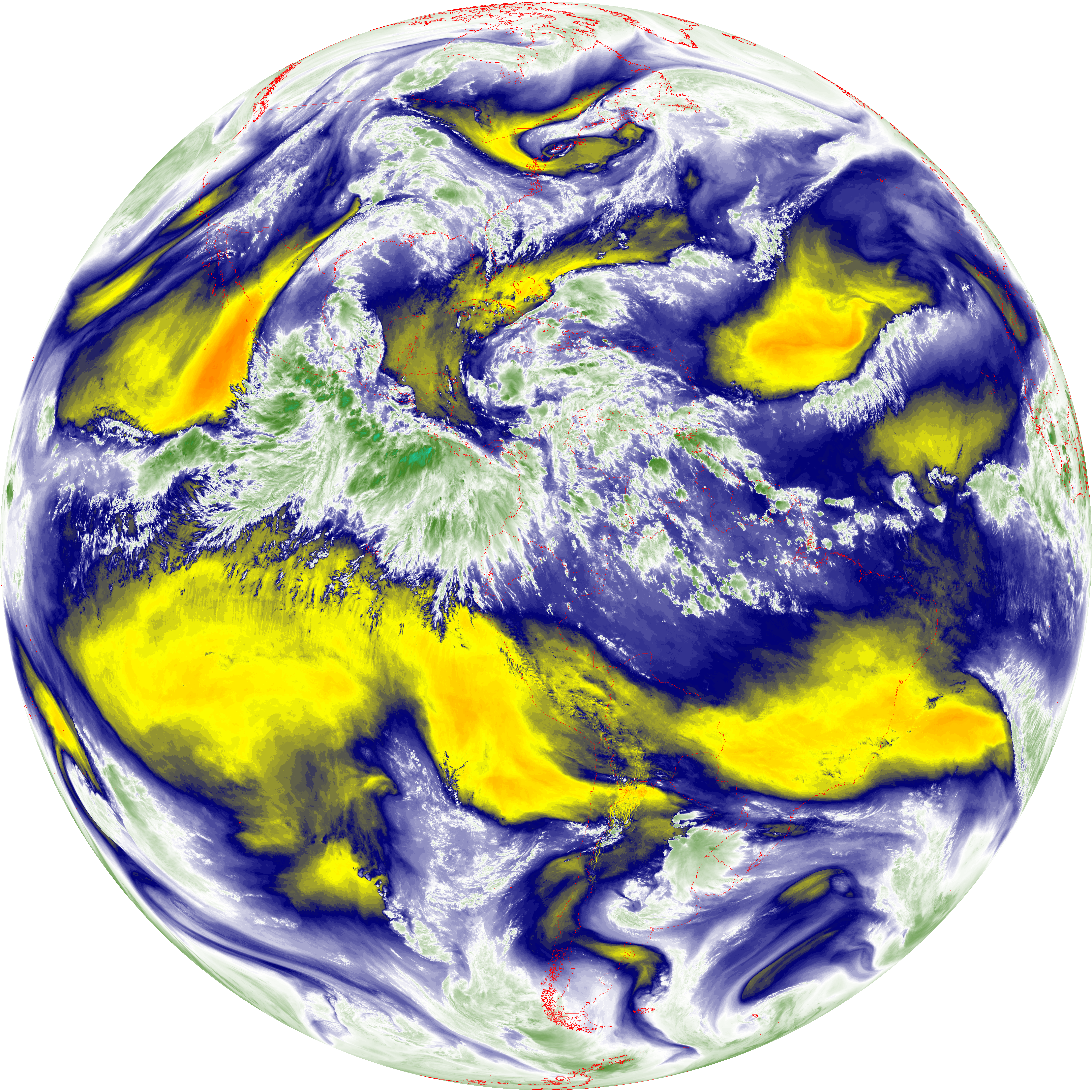
| abi_rgb_Upper-Level_Tropospheric_Water_Vapor_map.png | 8039200 | 2026-Jun-07 18:24 |
| abi_rgb_Dirty_Longwave_Window.png | 8132590 | 2026-Jun-07 19:00 |
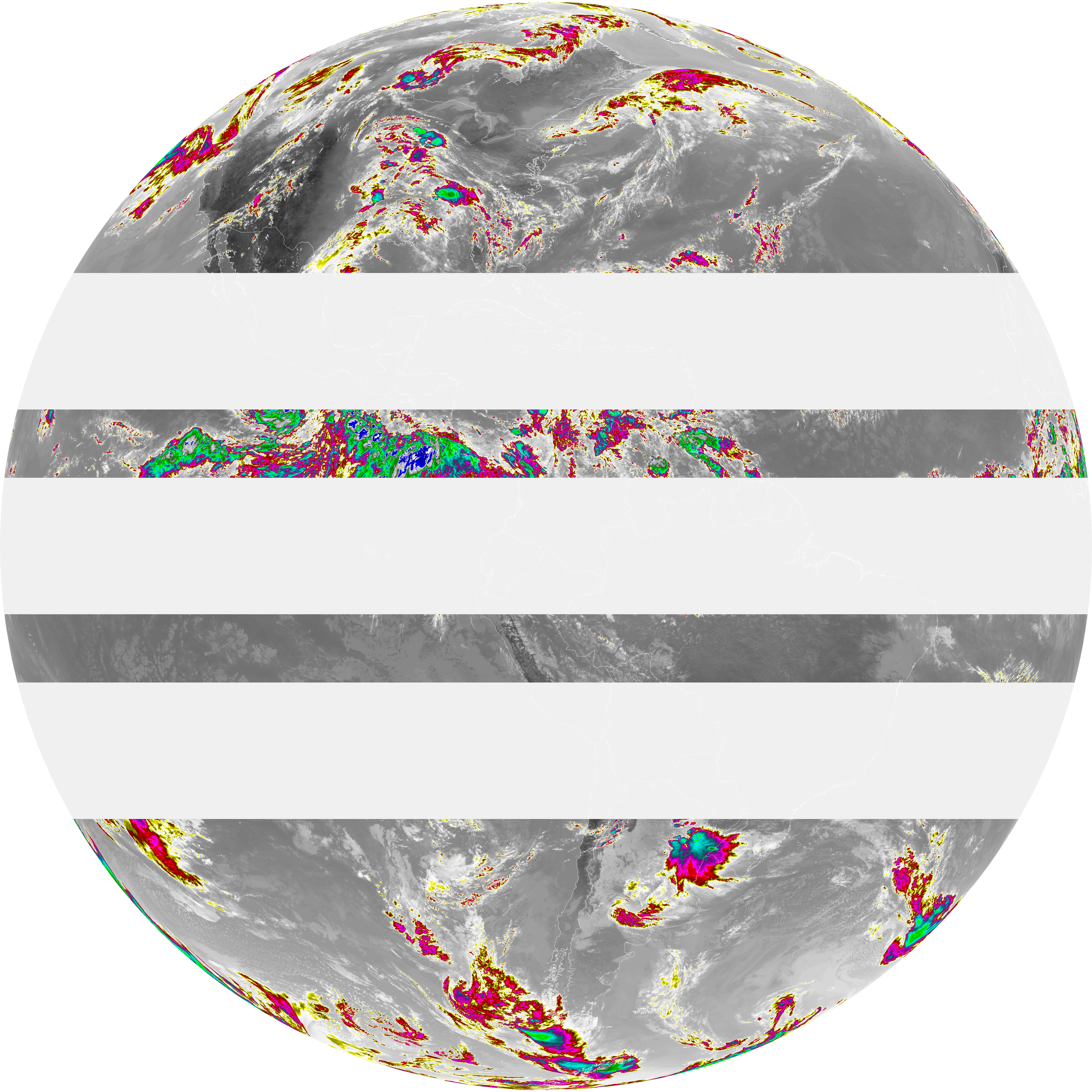
| abi_rgb_Dirty_Longwave_Window_map.png | 8210602 | 2026-Jun-07 19:00 |
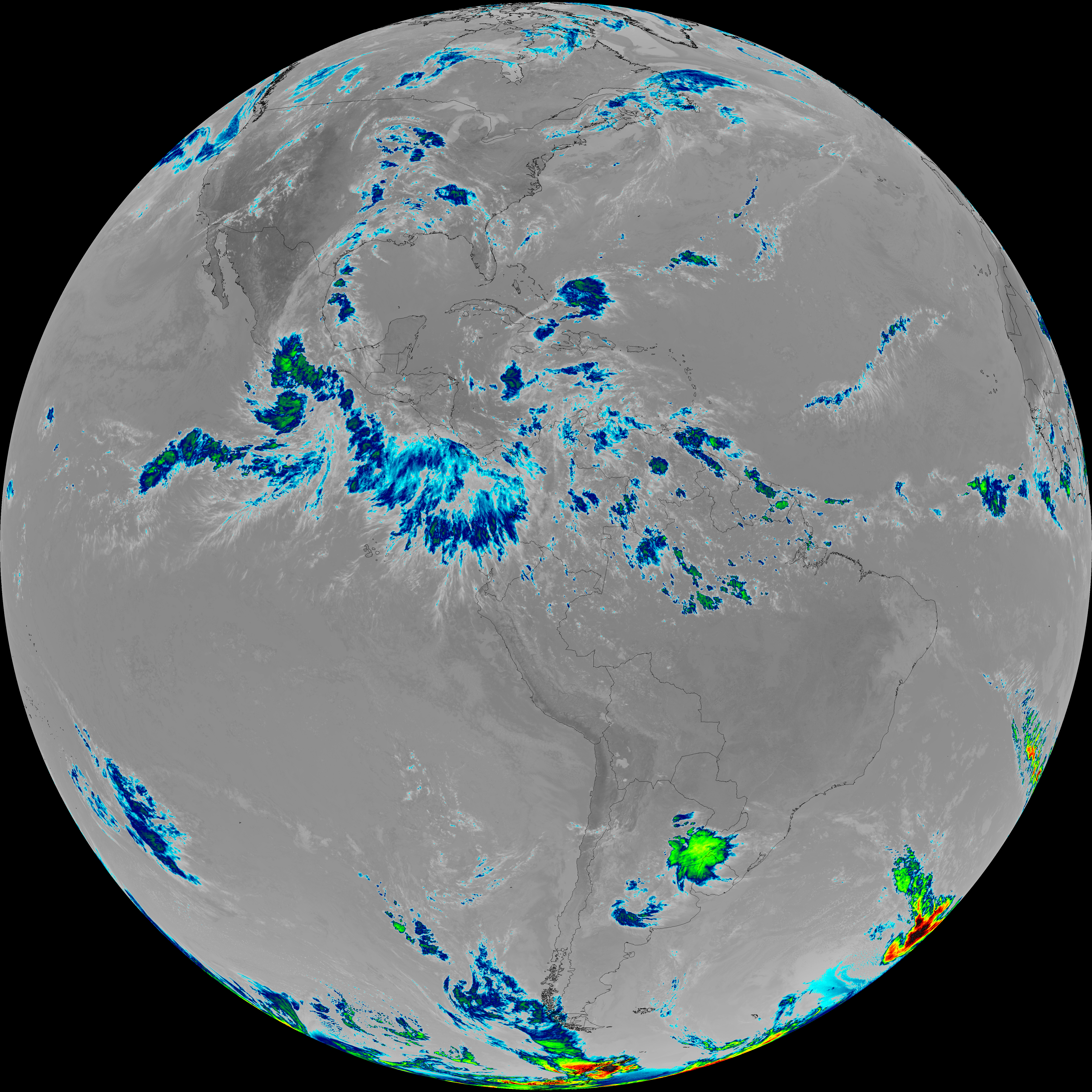
| abi_rgb_Mid-level_Tropospheric_Water_Vapor.png | 9170803 | 2026-Jun-07 18:26 |
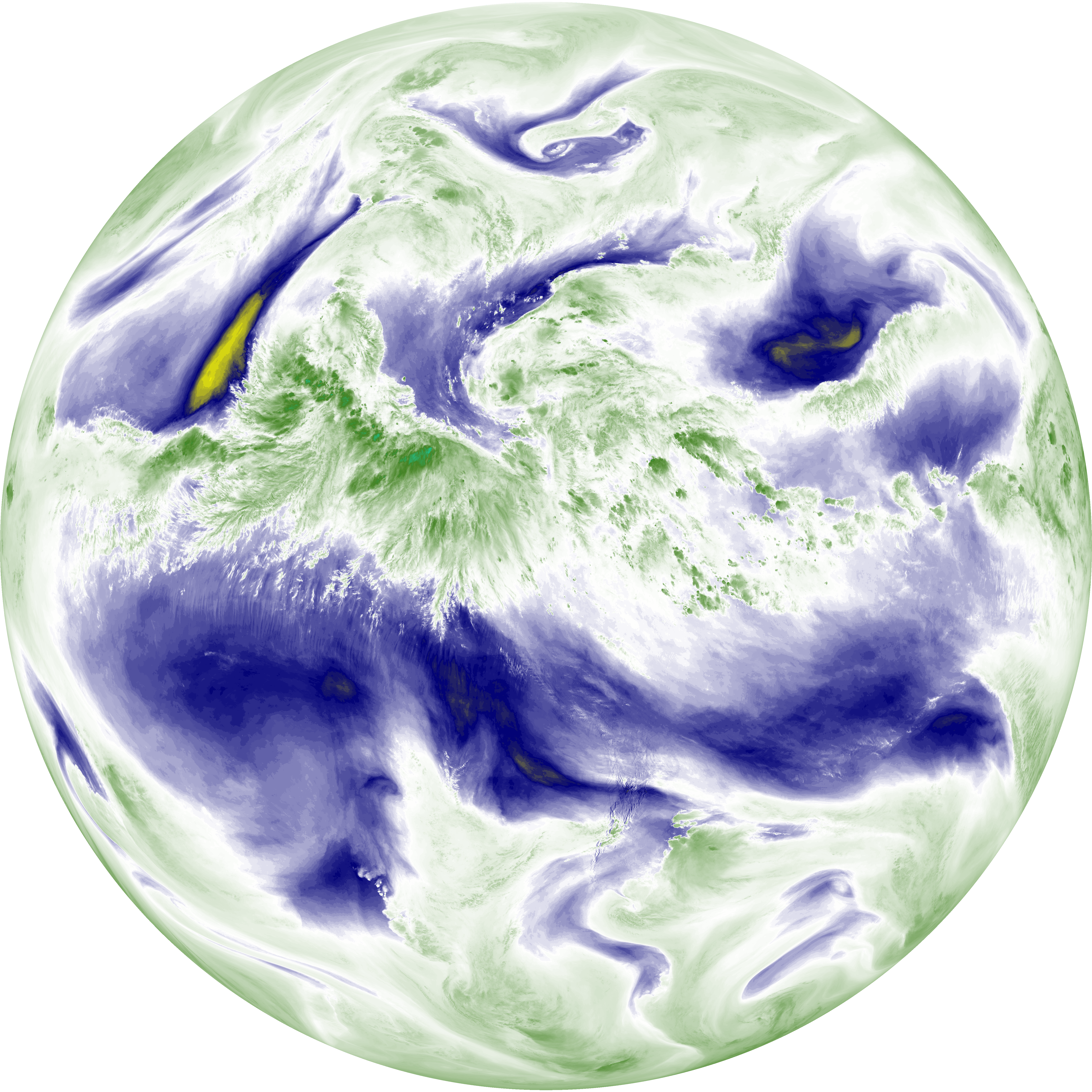
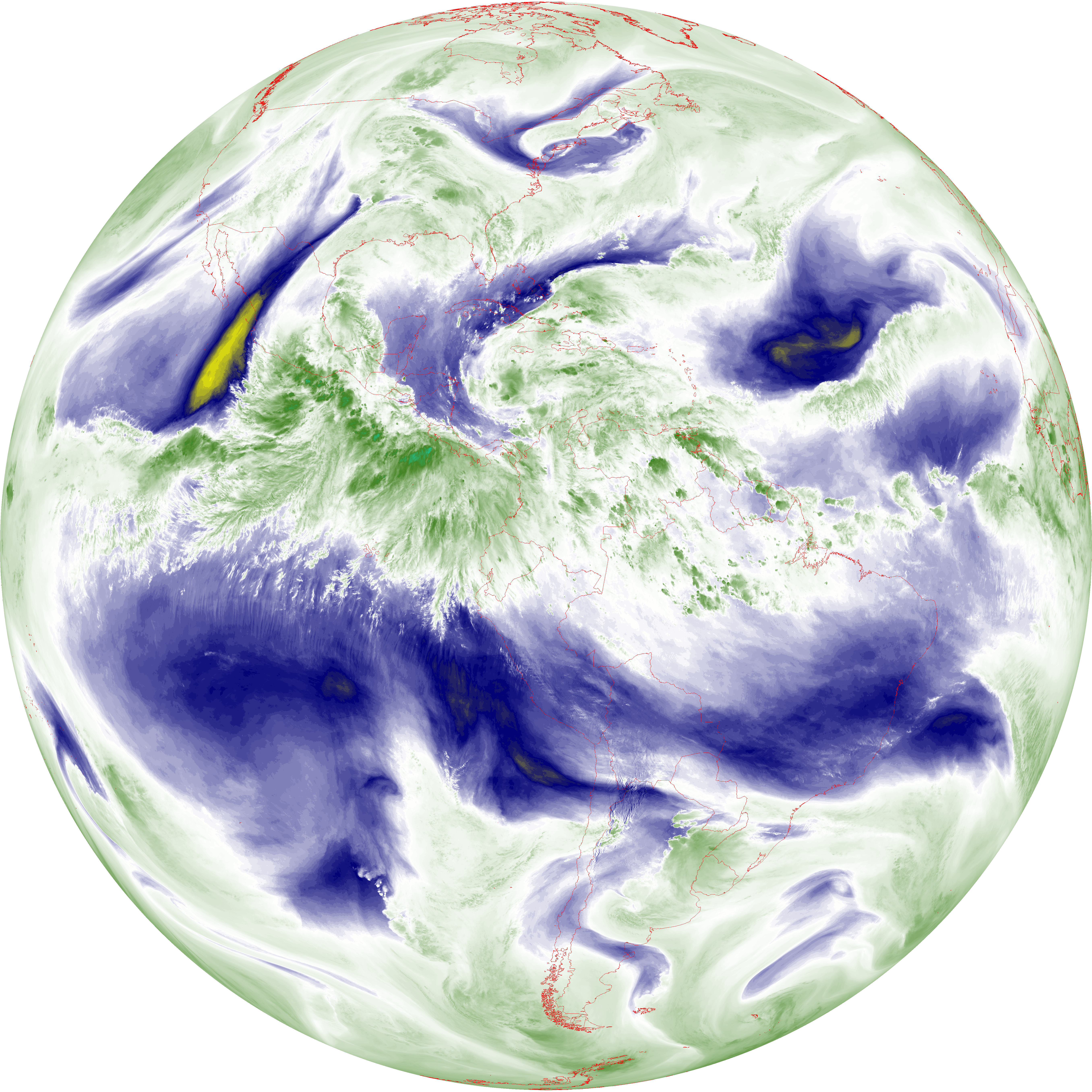
| abi_rgb_Mid-level_Tropospheric_Water_Vapor_map.png | 9266461 | 2026-Jun-07 18:26 |
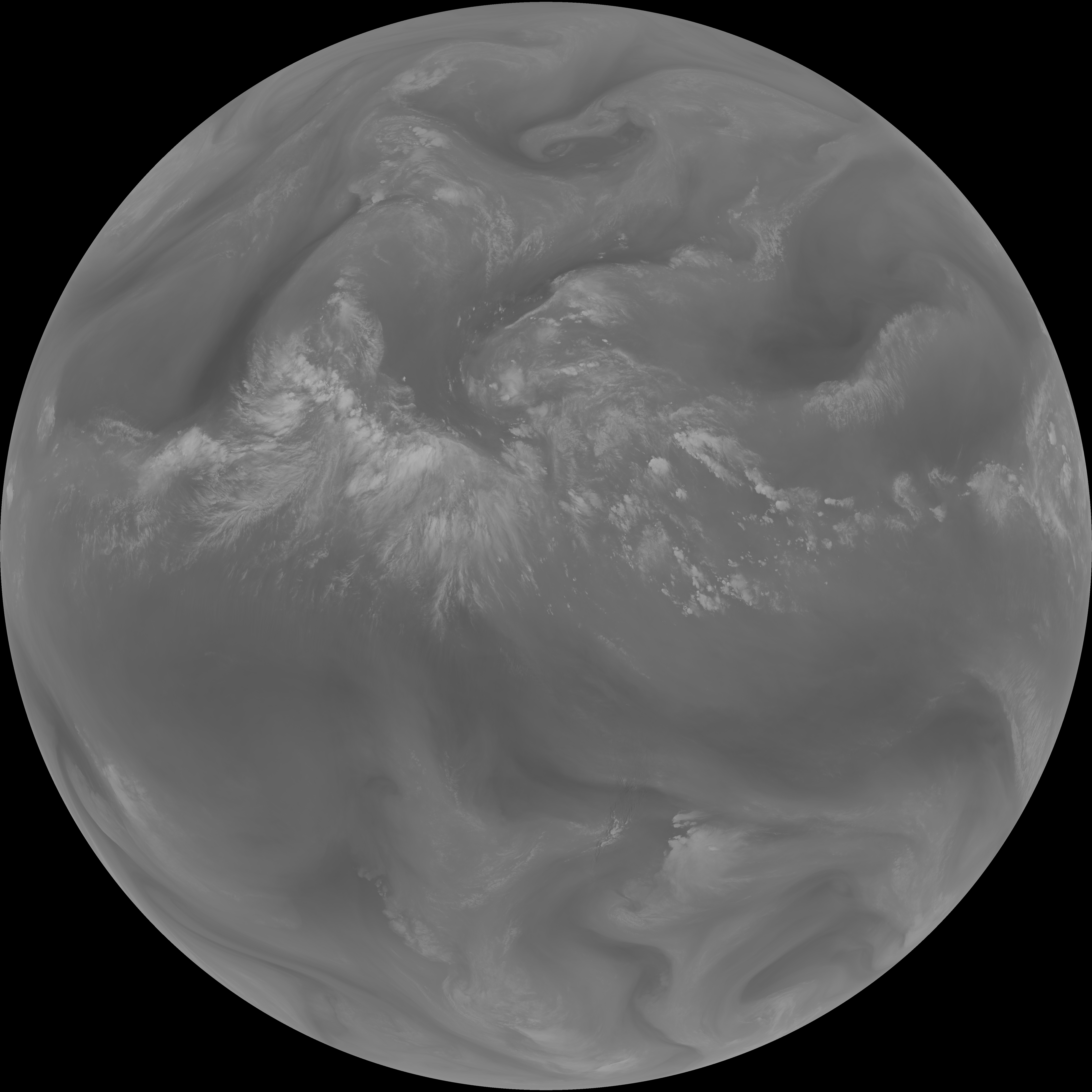
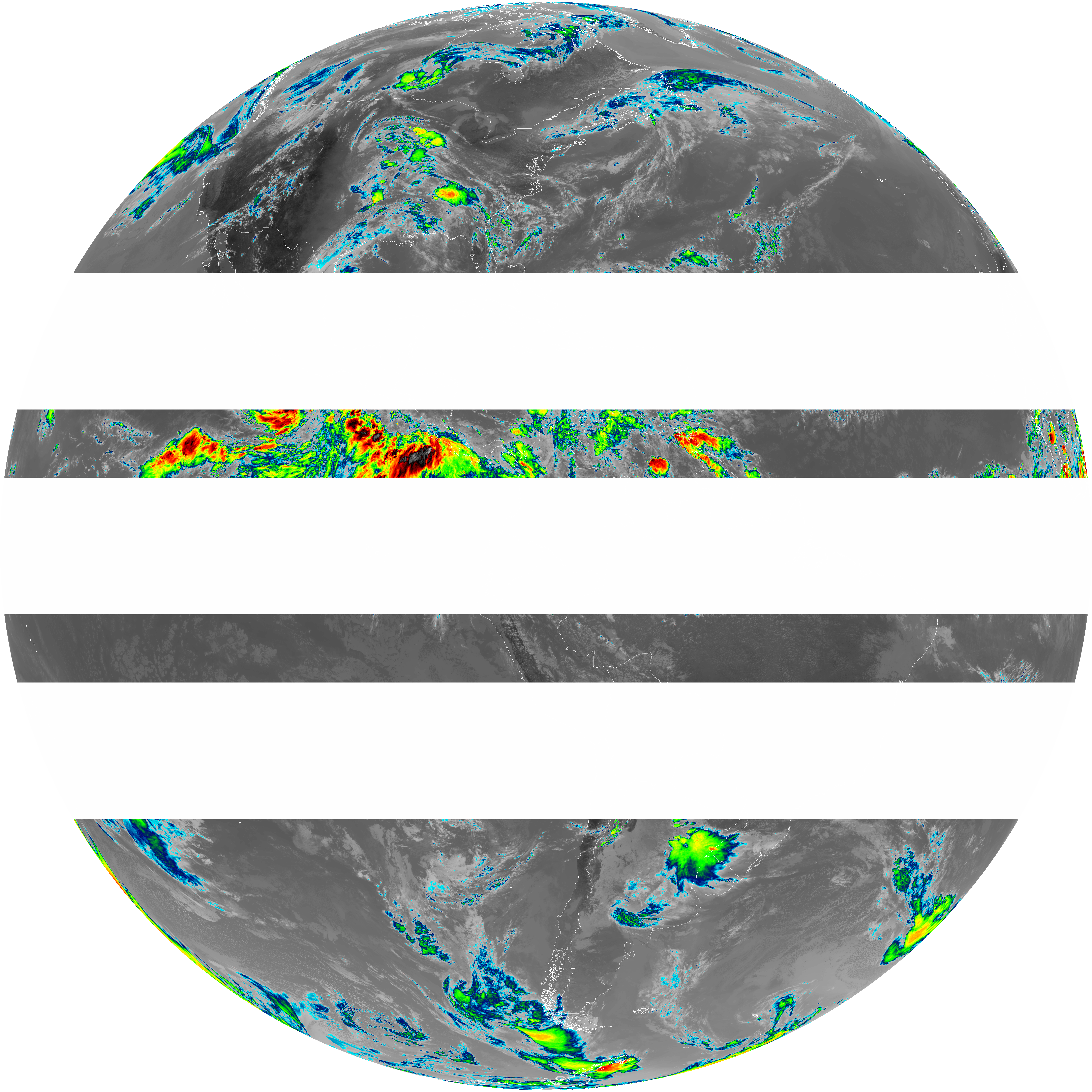
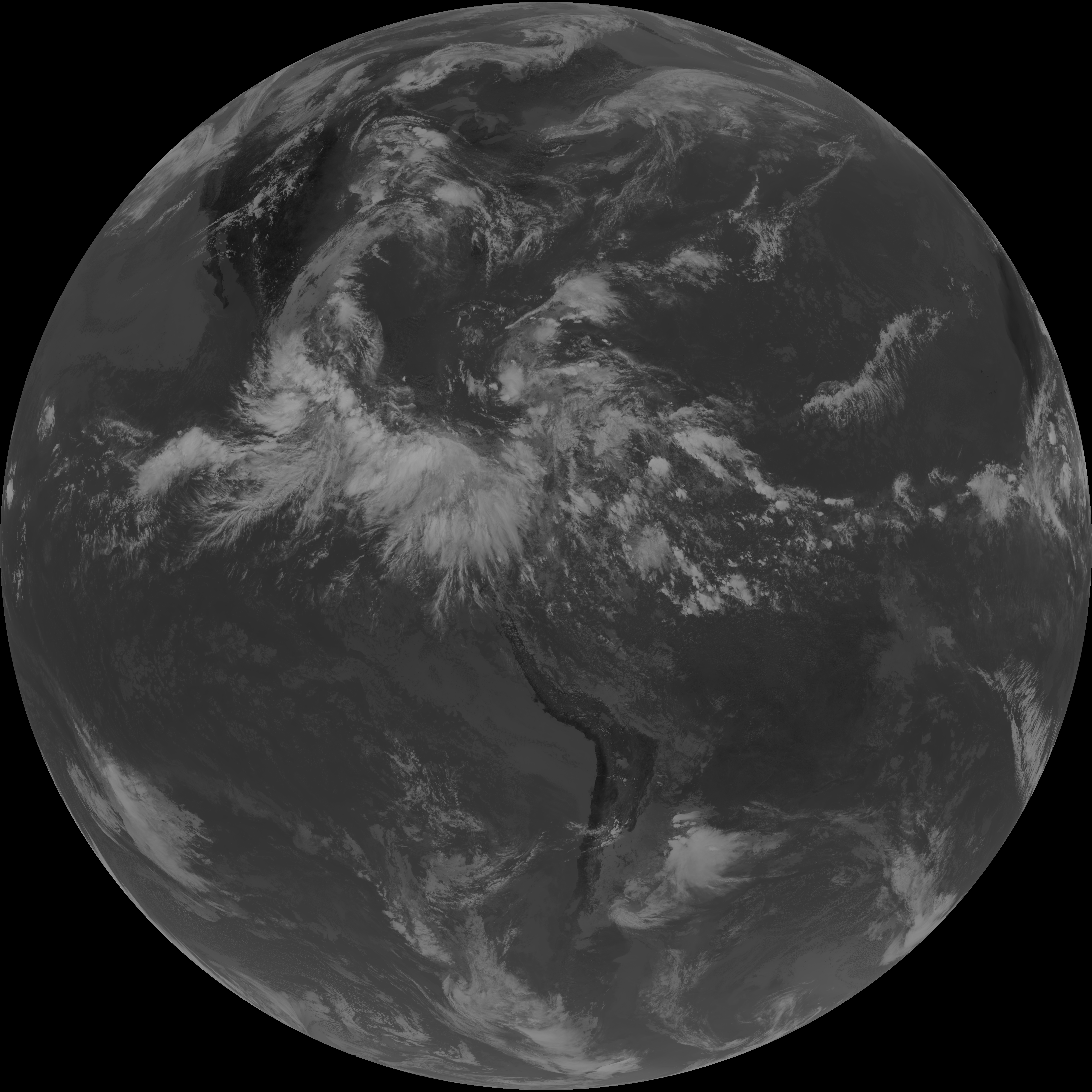
| G19_7_20260607T180021Z.png | 10511420 | 2026-Jun-07 18:13 |
| G19_13_20260607T180021Z.png | 10943424 | 2026-Jun-07 18:16 |
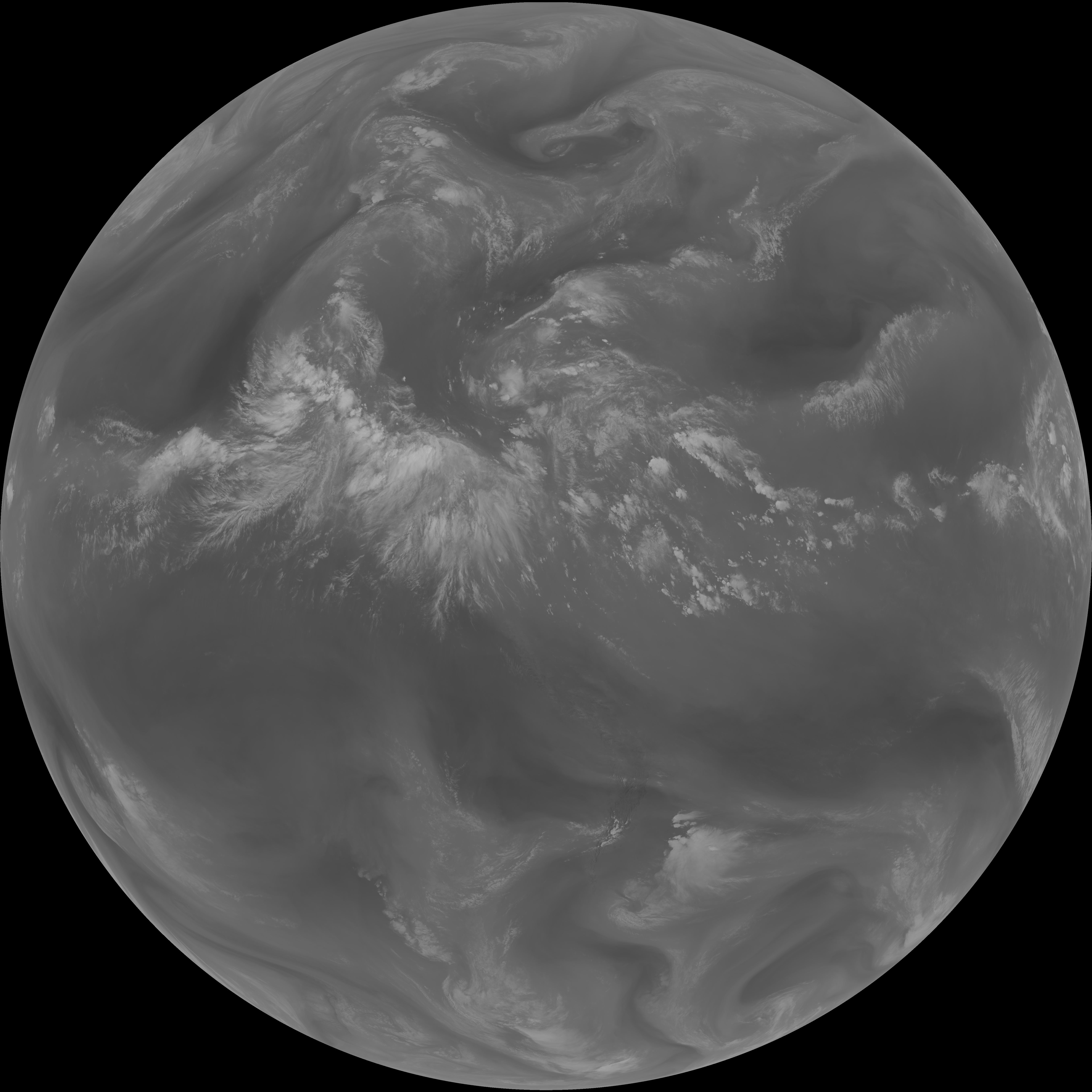
| G19_14_20260607T180021Z.png | 11081761 | 2026-Jun-07 18:29 |
| abi_rgb_Shortwave_Window_Band.png | 14355393 | 2026-Jun-07 18:13 |
| abi_rgb_Shortwave_Window_Band_map.png | 14401376 | 2026-Jun-07 18:13 |
| abi_rgb_Clean_Longwave_IR_Window_Band.png | 14618561 | 2026-Jun-07 18:16 |
| abi_rgb_Clean_Longwave_IR_Window_Band_map.png | 14644664 | 2026-Jun-07 18:16 |
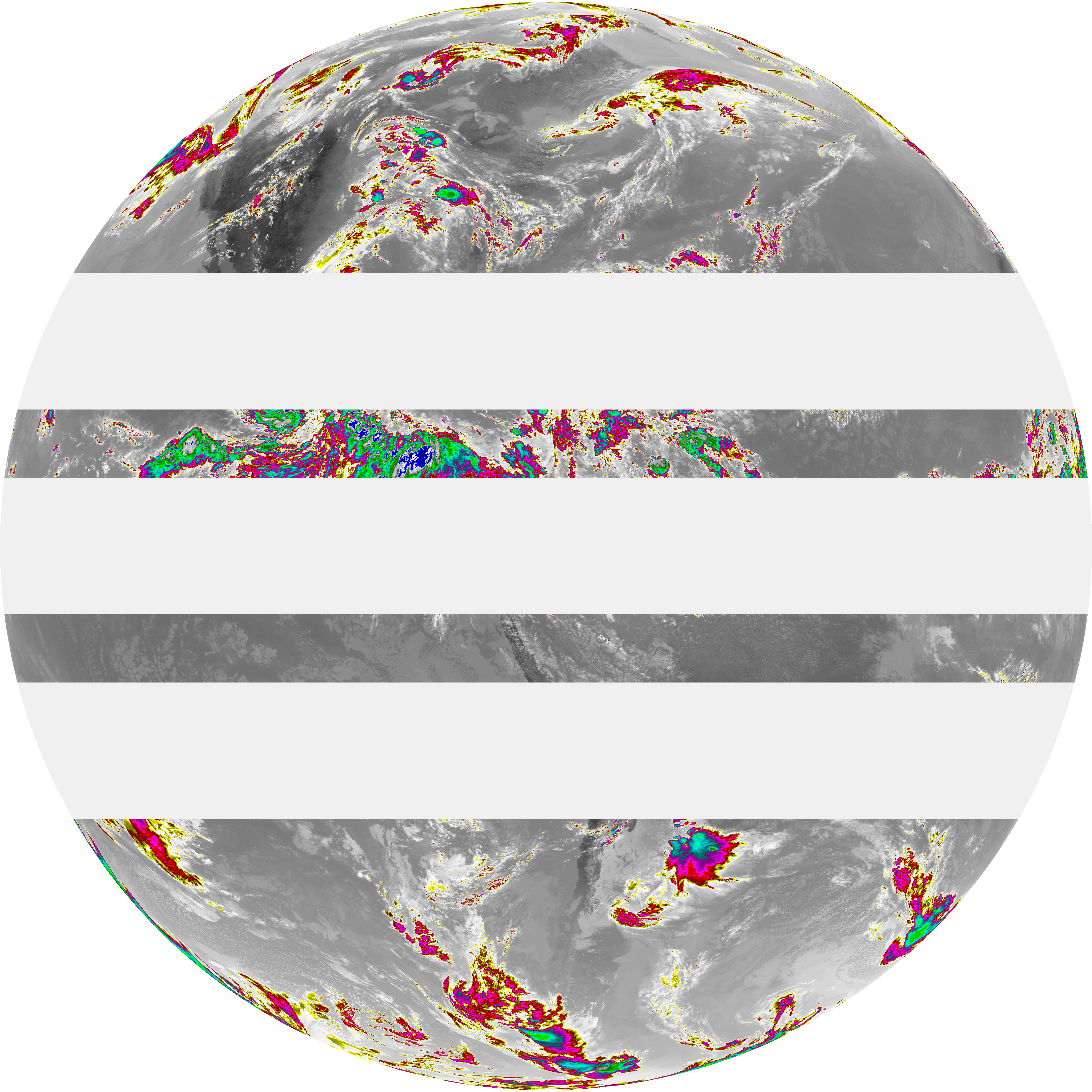
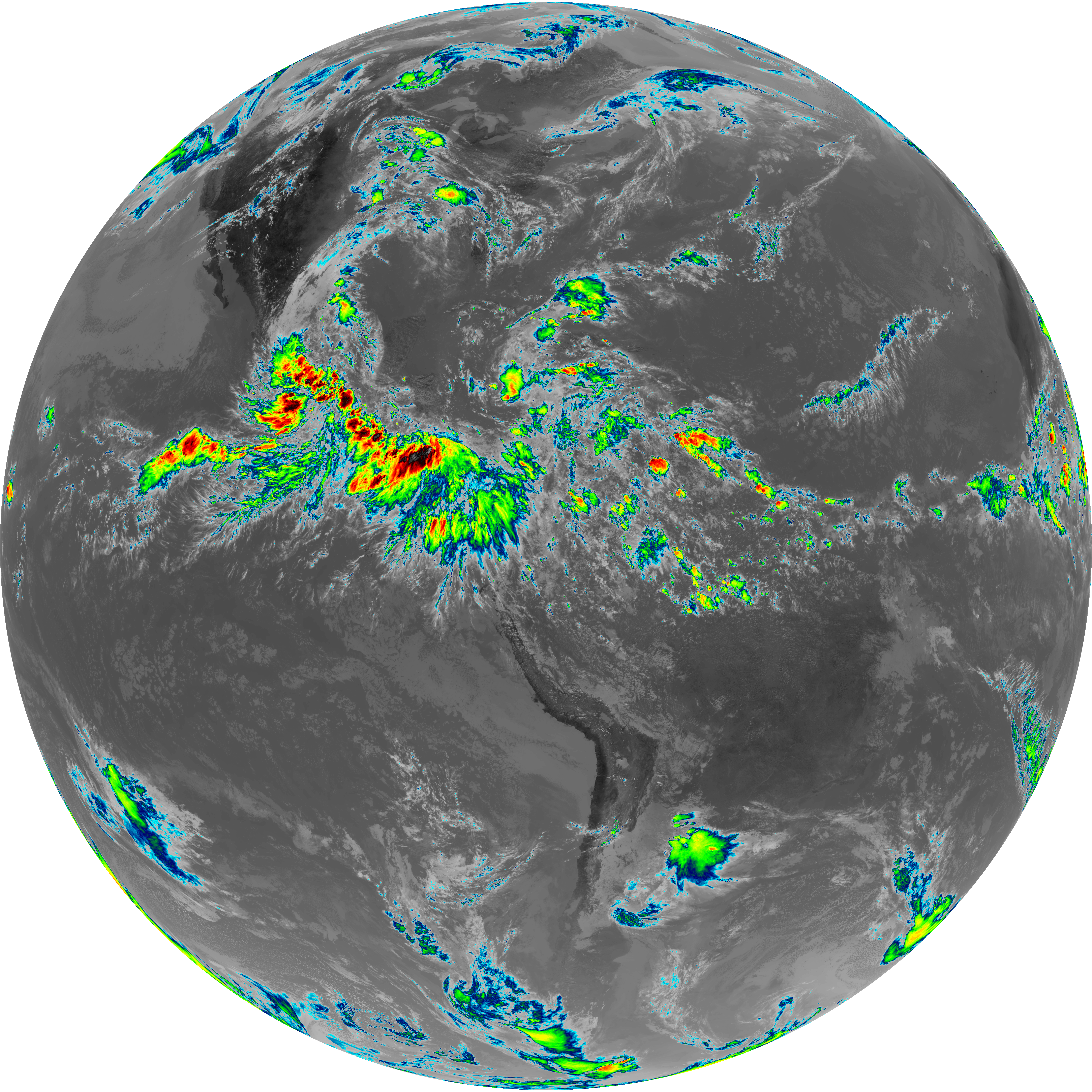
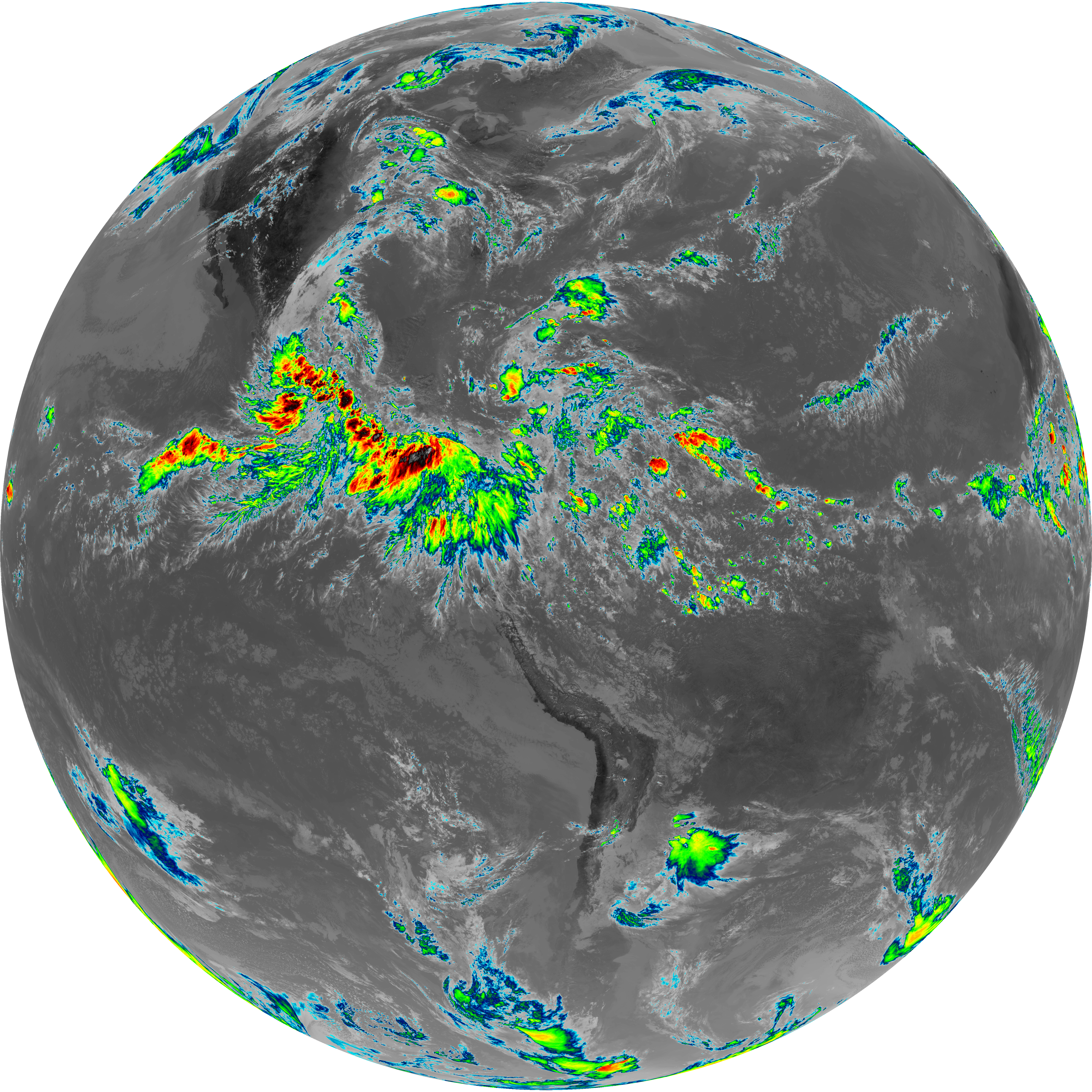
| abi_rgb_Infrared_Longwave_Window_Band.png | 14792167 | 2026-Jun-07 18:29 |
| abi_rgb_Infrared_Longwave_Window_Band_map.png | 14818381 | 2026-Jun-07 18:29 |
| G19_2_20260607T180021Z.png | 16108132 | 2026-Jun-07 18:22 |