| Parent directory/ | - | - |
| G19_13_20260607T183021Z.png | 10931909 | 2026-Jun-07 18:47 |
| G19_14_20260607T183021Z.png | 11074412 | 2026-Jun-07 18:59 |
| G19_15_20260607T183021Z.png | 7949154 | 2026-Jun-07 19:29 |
| G19_2_20260607T183021Z.png | 15748119 | 2026-Jun-07 18:52 |
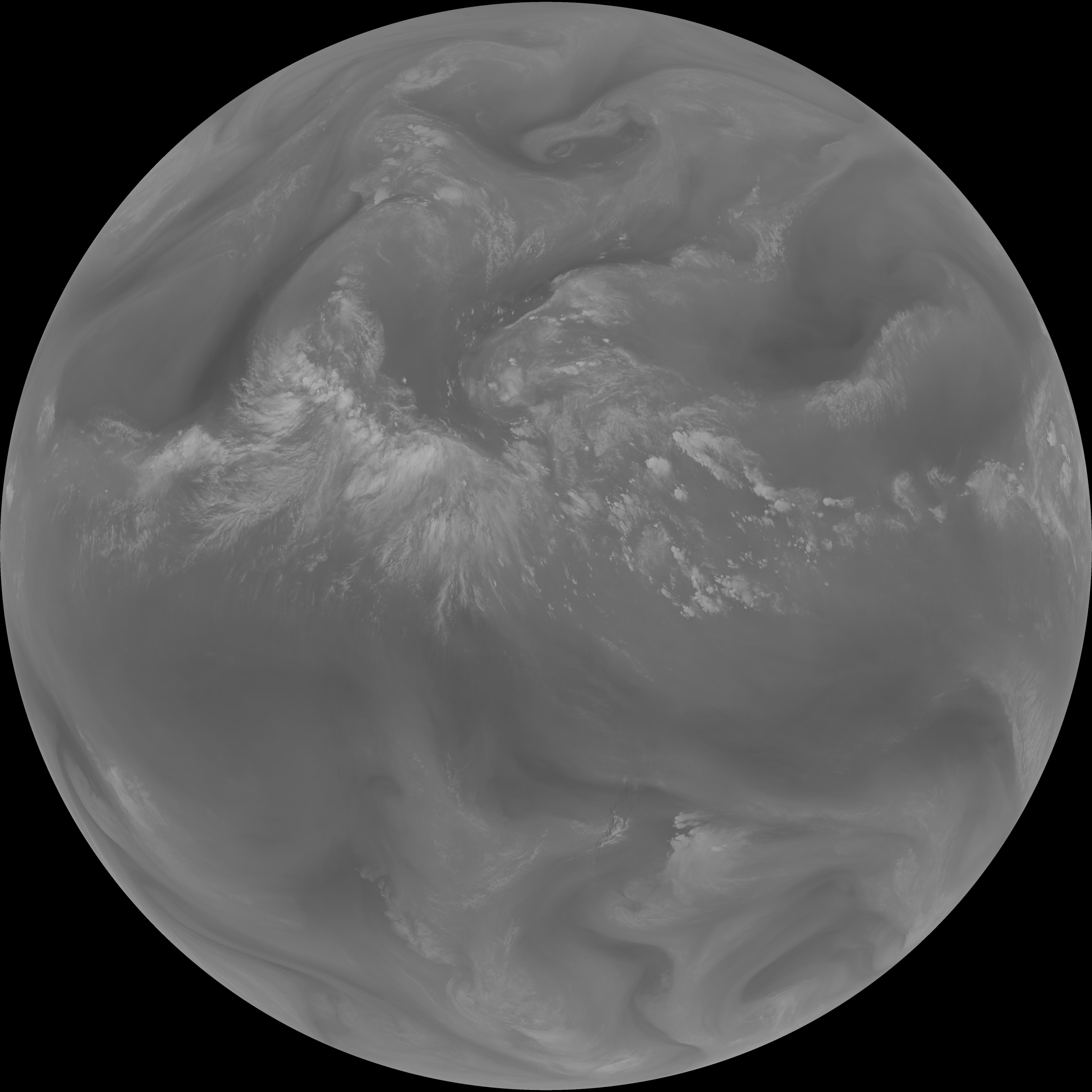
| G19_7_20260607T183021Z.png | 10450186 | 2026-Jun-07 18:44 |
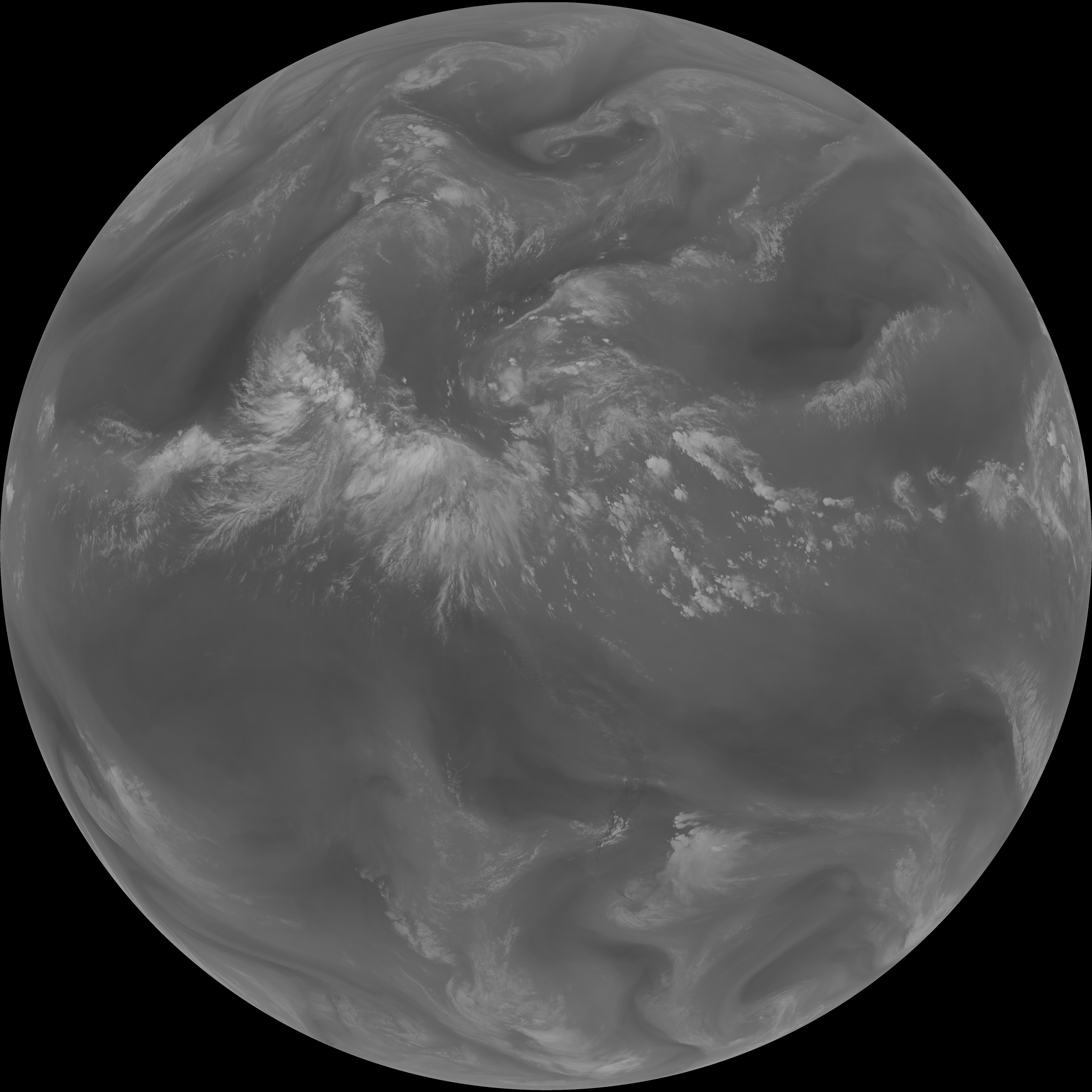
| G19_8_20260607T183021Z.png | 5996540 | 2026-Jun-07 18:54 |
| G19_9_20260607T183021Z.png | 6887111 | 2026-Jun-07 18:56 |
| abi_rgb_Clean_Longwave_IR_Window_Band.png | 14624941 | 2026-Jun-07 18:47 |
| abi_rgb_Clean_Longwave_IR_Window_Band_map.png | 14653245 | 2026-Jun-07 18:47 |
| abi_rgb_Dirty_Longwave_Window.png | 10691117 | 2026-Jun-07 19:29 |
| abi_rgb_Dirty_Longwave_Window_-_CIRA.png | 9459019 | 2026-Jun-07 19:30 |
| abi_rgb_Dirty_Longwave_Window_-_CIRA_map.png | 9534977 | 2026-Jun-07 19:30 |
| abi_rgb_Dirty_Longwave_Window_map.png | 10756026 | 2026-Jun-07 19:29 |
| abi_rgb_Infrared_Longwave_Window_Band.png | 14802350 | 2026-Jun-07 18:59 |
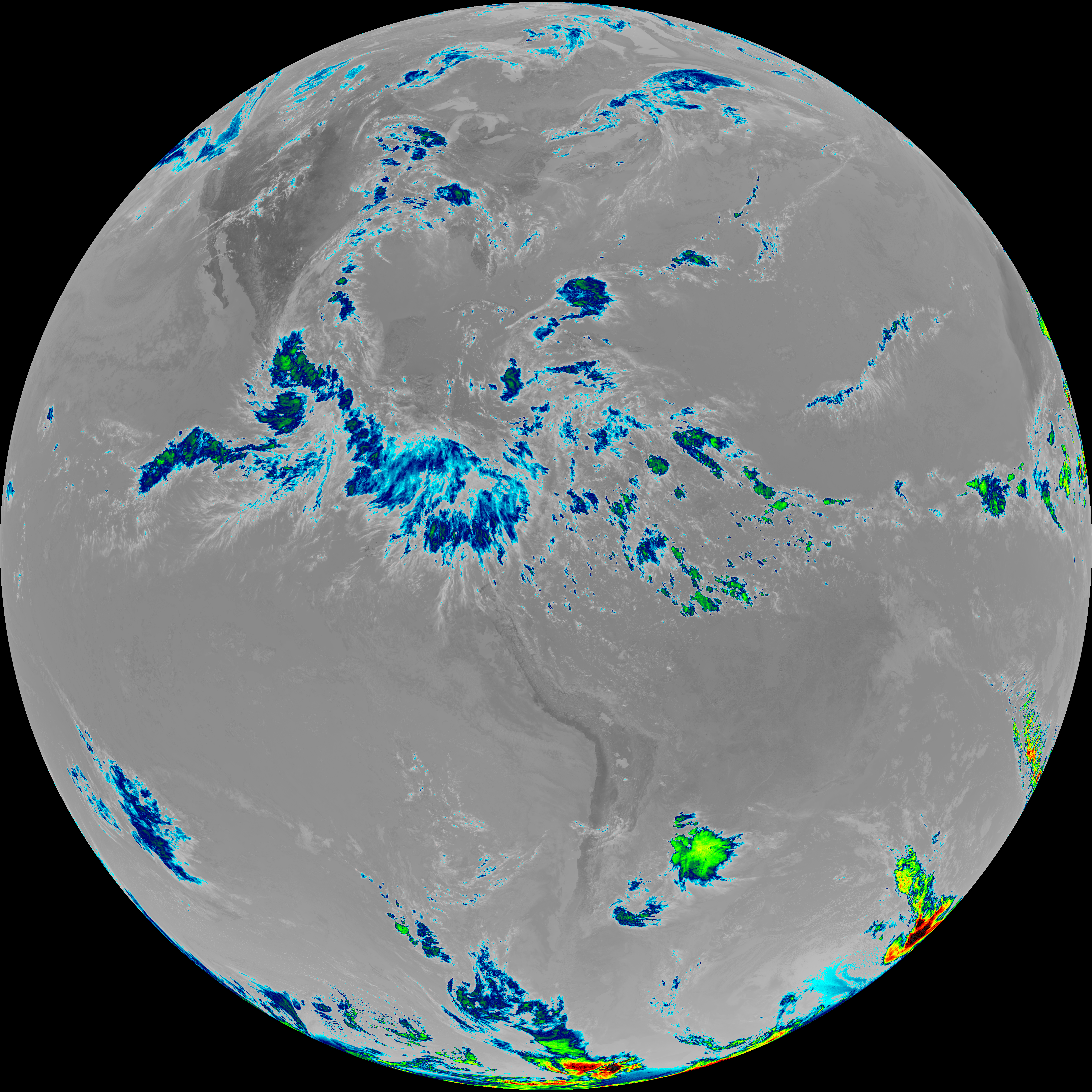
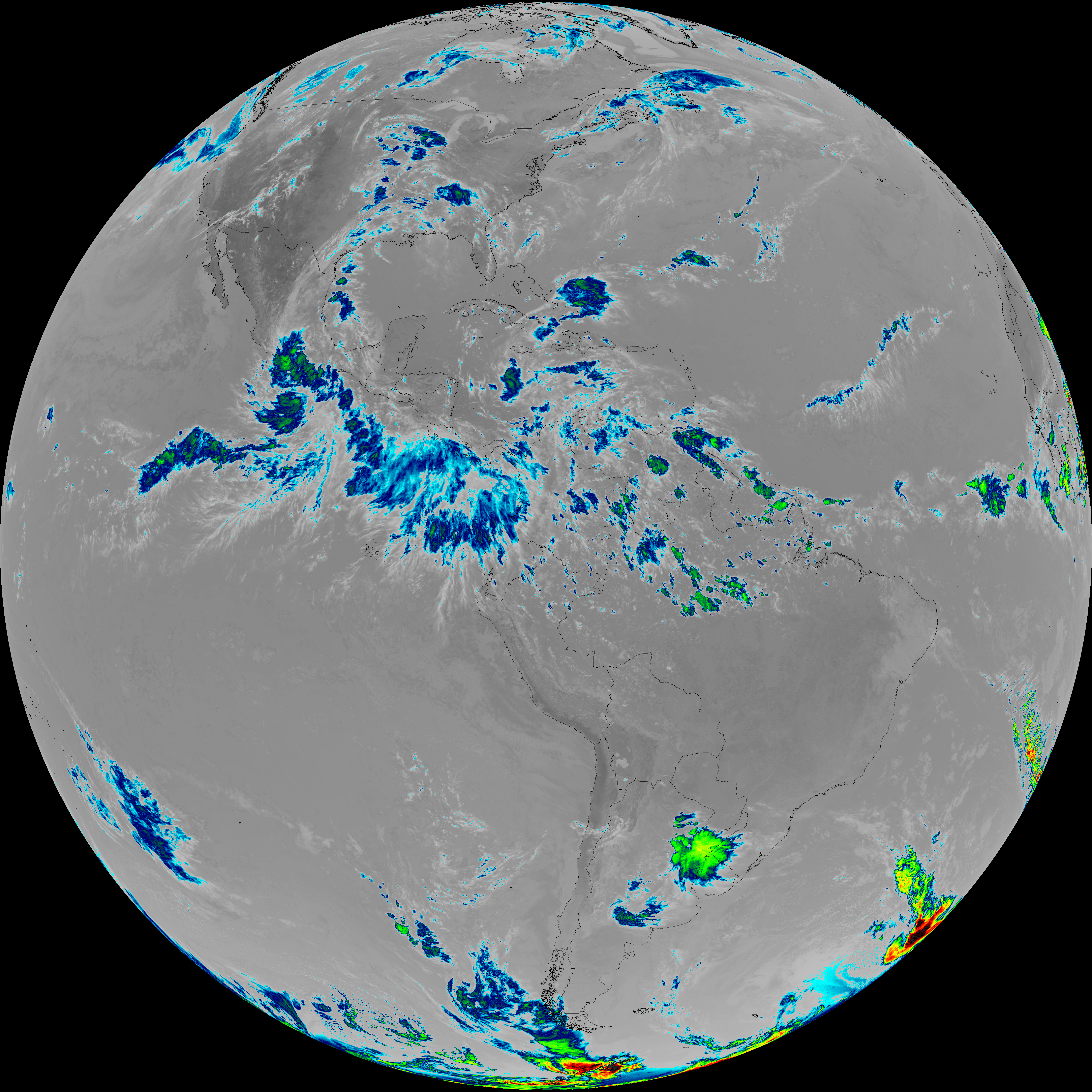
| abi_rgb_Infrared_Longwave_Window_Band_map.png | 14830187 | 2026-Jun-07 18:59 |
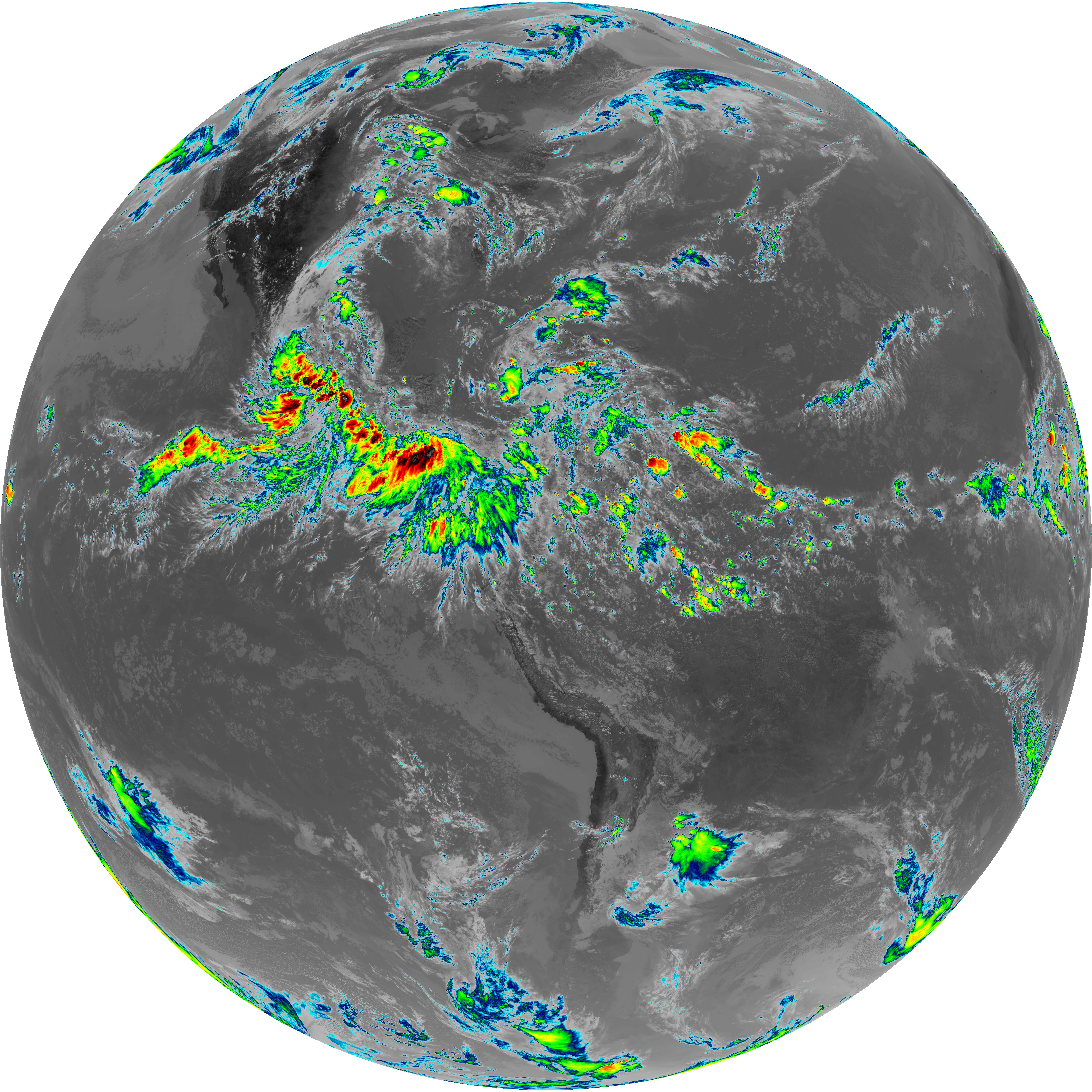
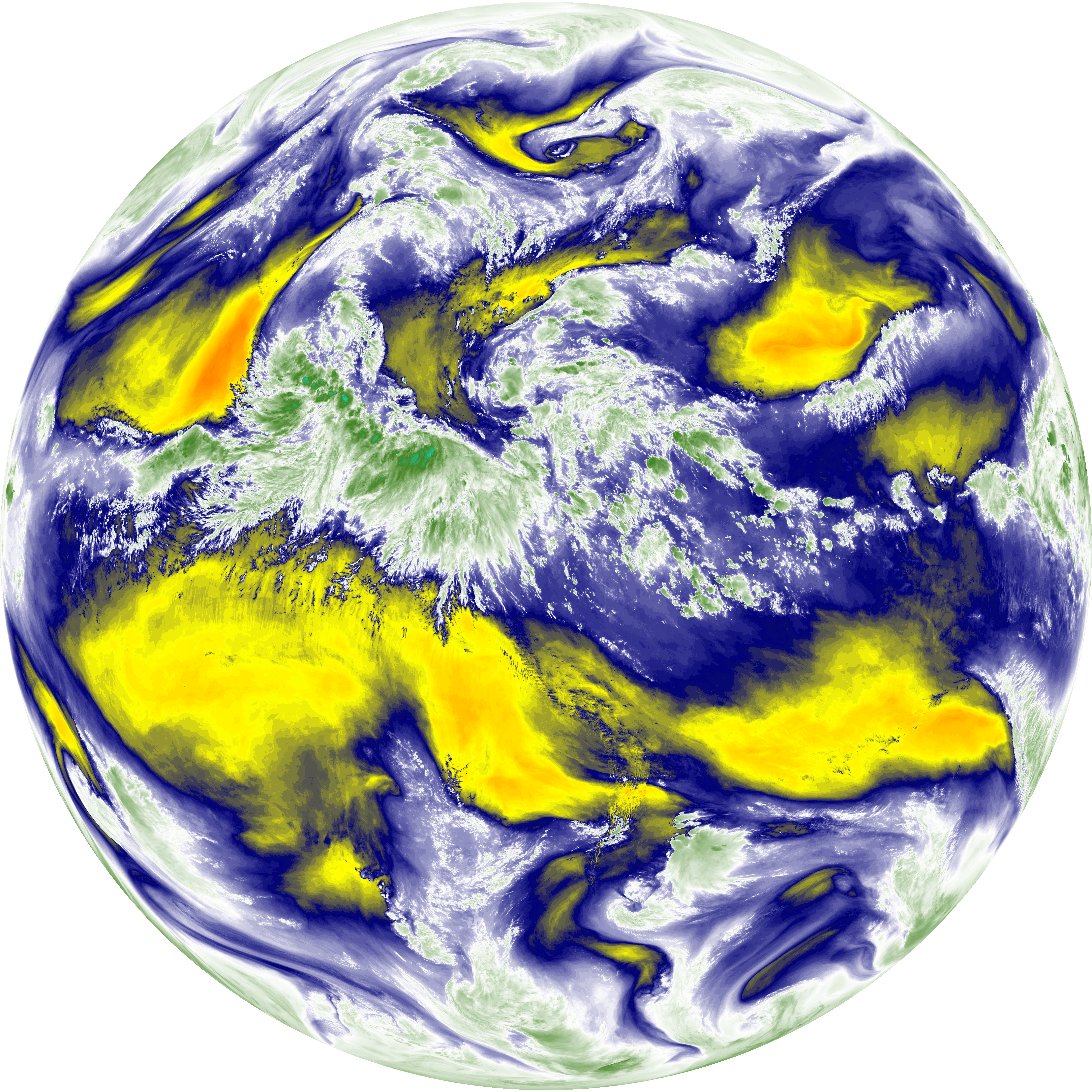
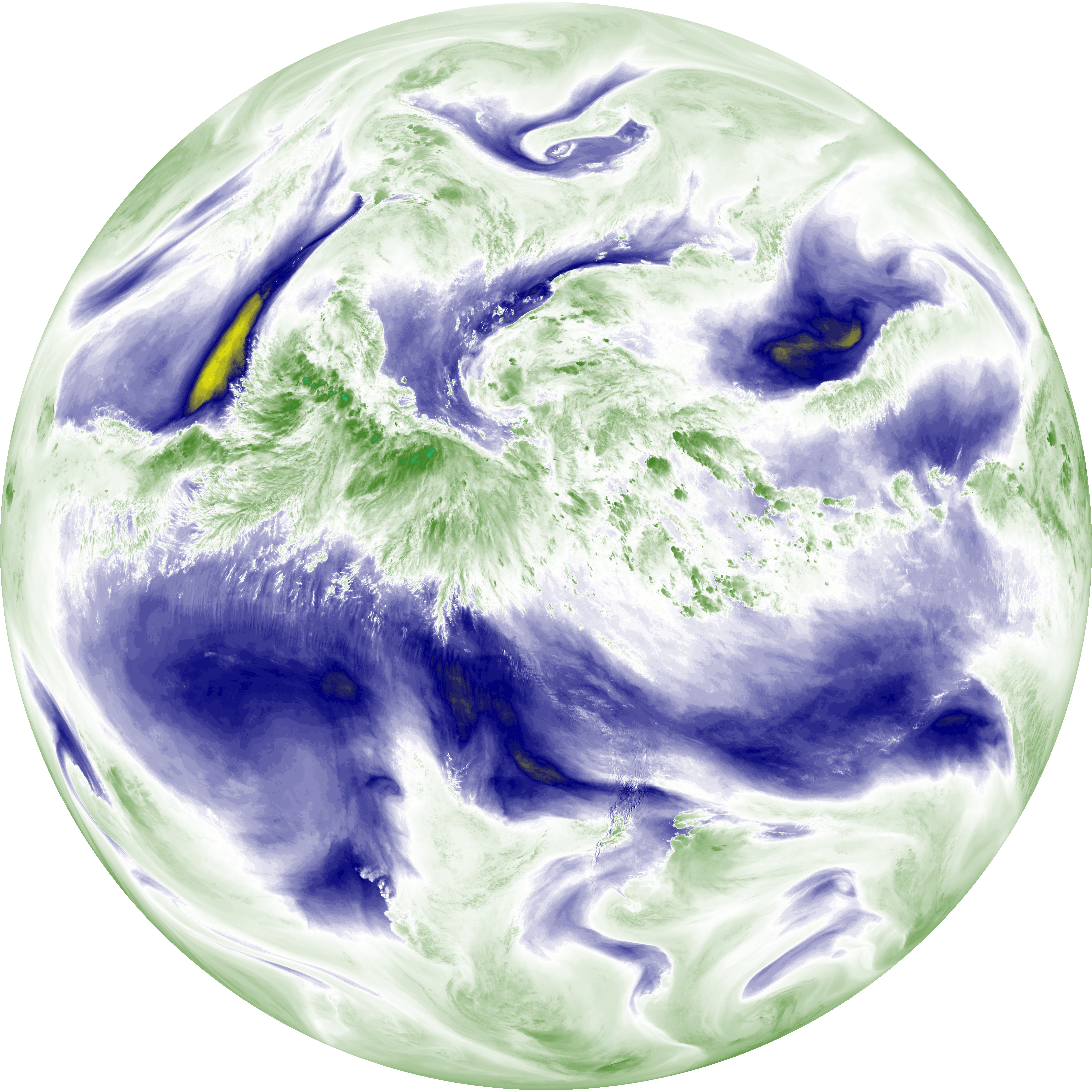
| abi_rgb_Mid-level_Tropospheric_Water_Vapor.png | 9240473 | 2026-Jun-07 18:56 |
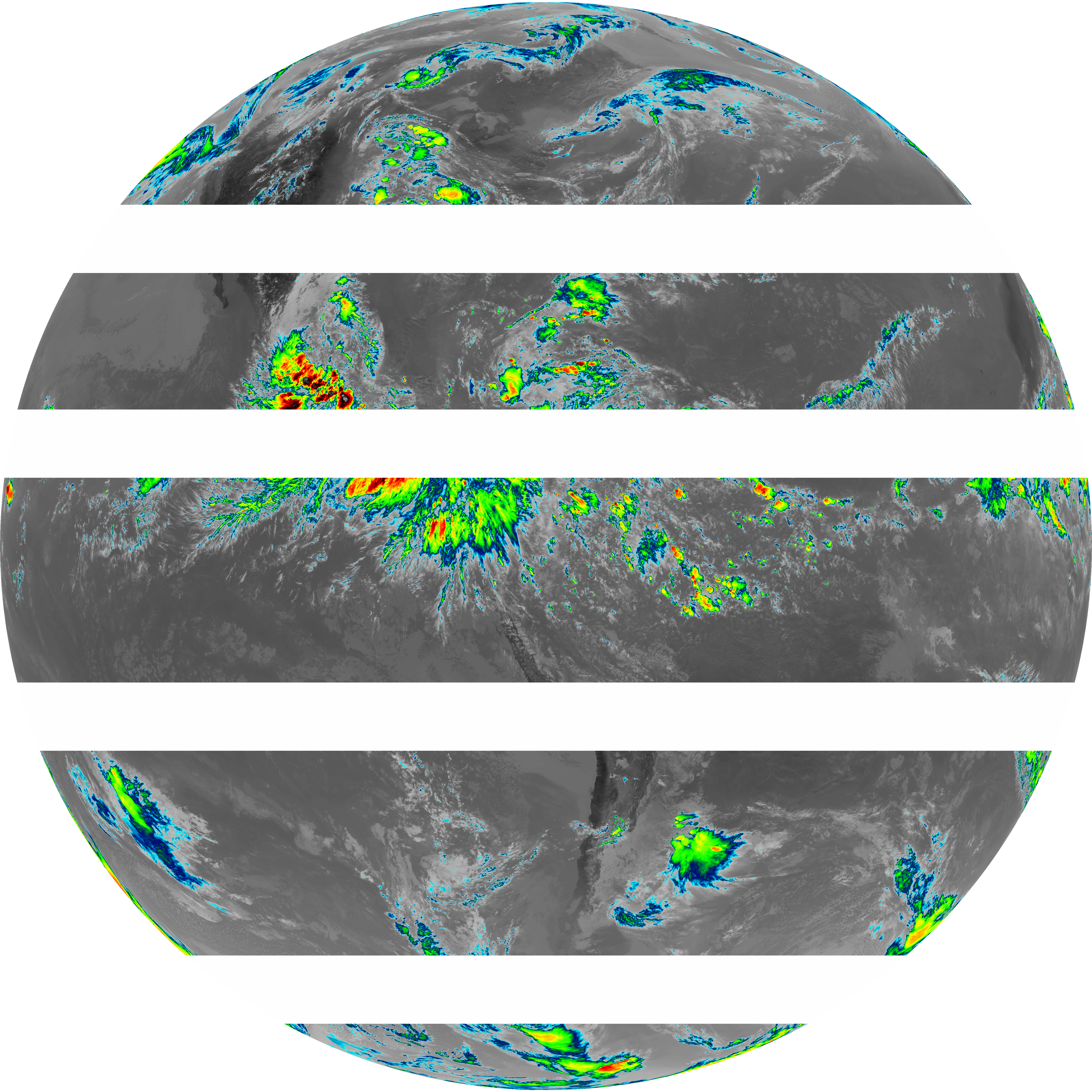
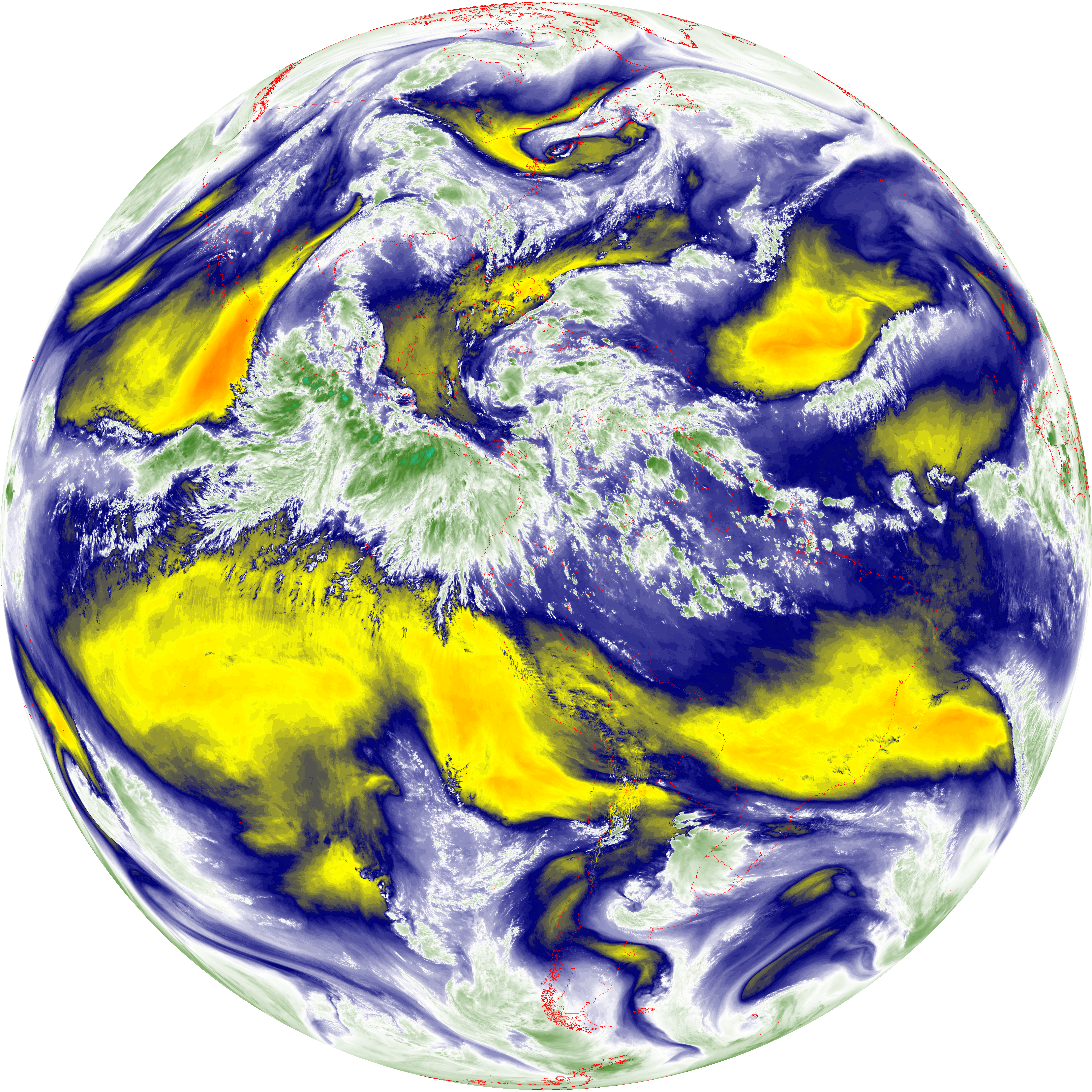
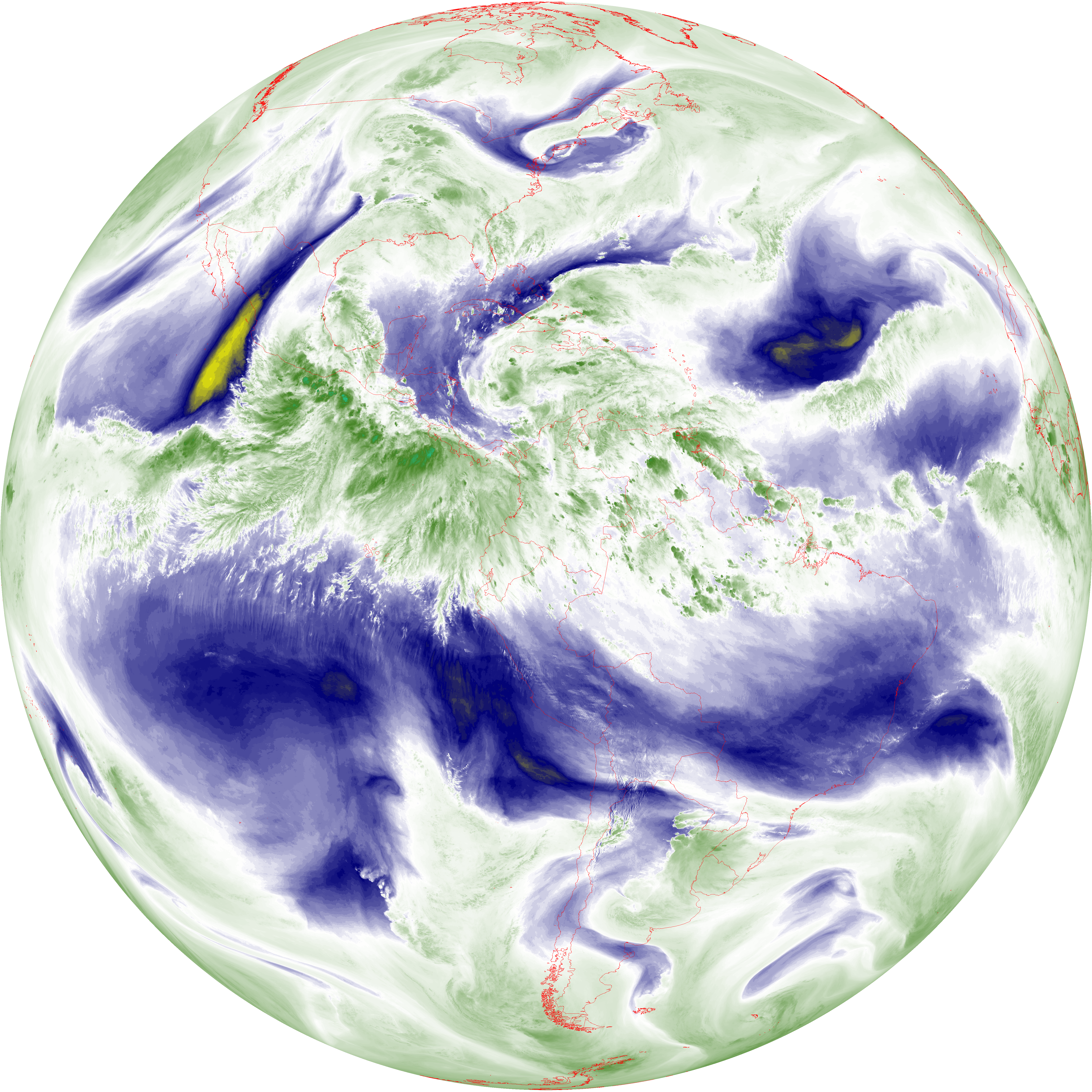
| abi_rgb_Mid-level_Tropospheric_Water_Vapor_map.png | 9335748 | 2026-Jun-07 18:56 |
| abi_rgb_Shortwave_Window_Band.png | 14253933 | 2026-Jun-07 18:44 |
| abi_rgb_Shortwave_Window_Band_map.png | 14298331 | 2026-Jun-07 18:44 |
| abi_rgb_Upper-Level_Tropospheric_Water_Vapor.png | 8001222 | 2026-Jun-07 18:54 |
| abi_rgb_Upper-Level_Tropospheric_Water_Vapor_map.png | 8106714 | 2026-Jun-07 18:54 |