| Parent directory/ | - | - |
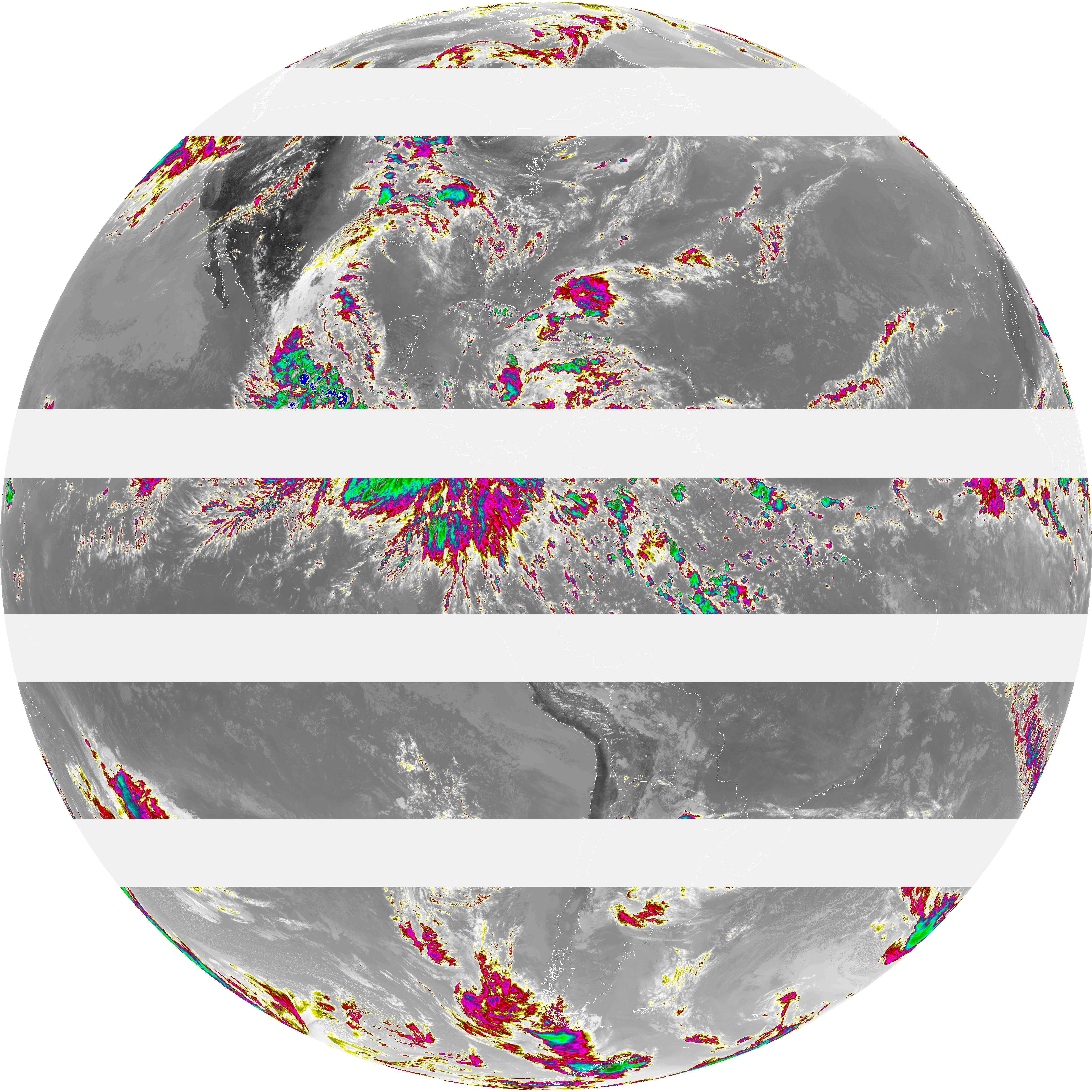
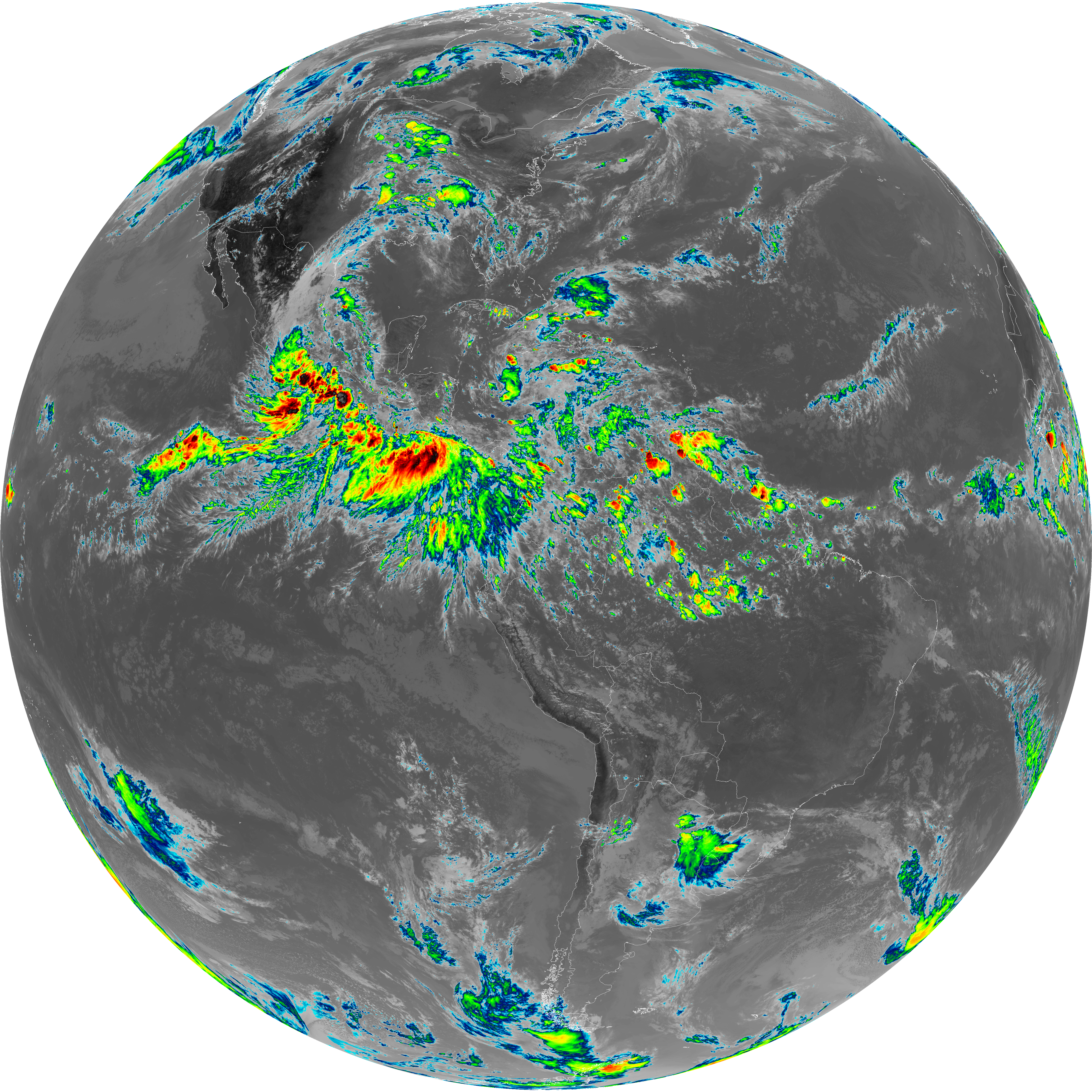
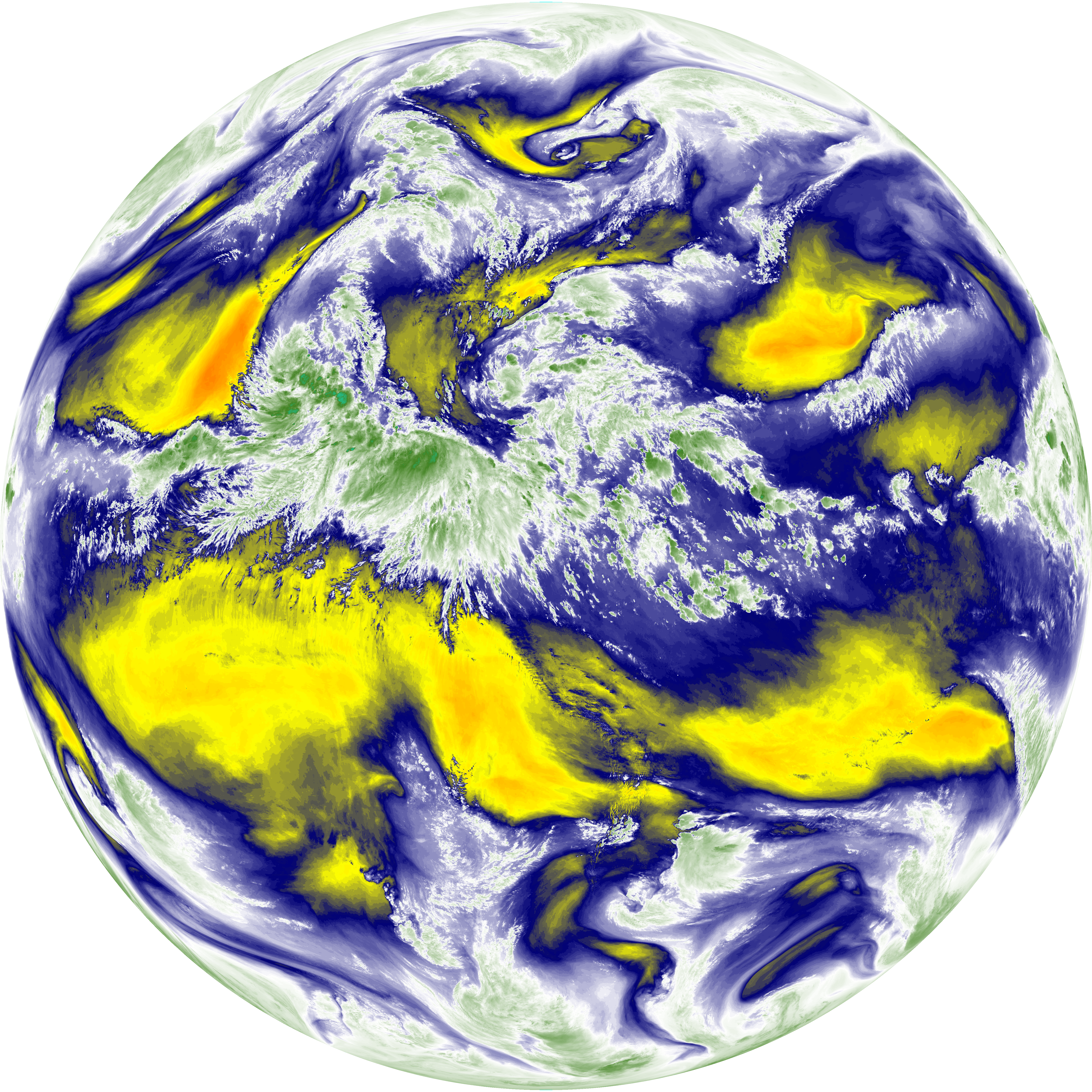
| abi_rgb_Dirty_Longwave_Window_-_CIRA_map.png | 9469947 | 2026-Jun-07 20:29 |
| abi_rgb_Dirty_Longwave_Window_-_CIRA.png | 9391327 | 2026-Jun-07 20:29 |
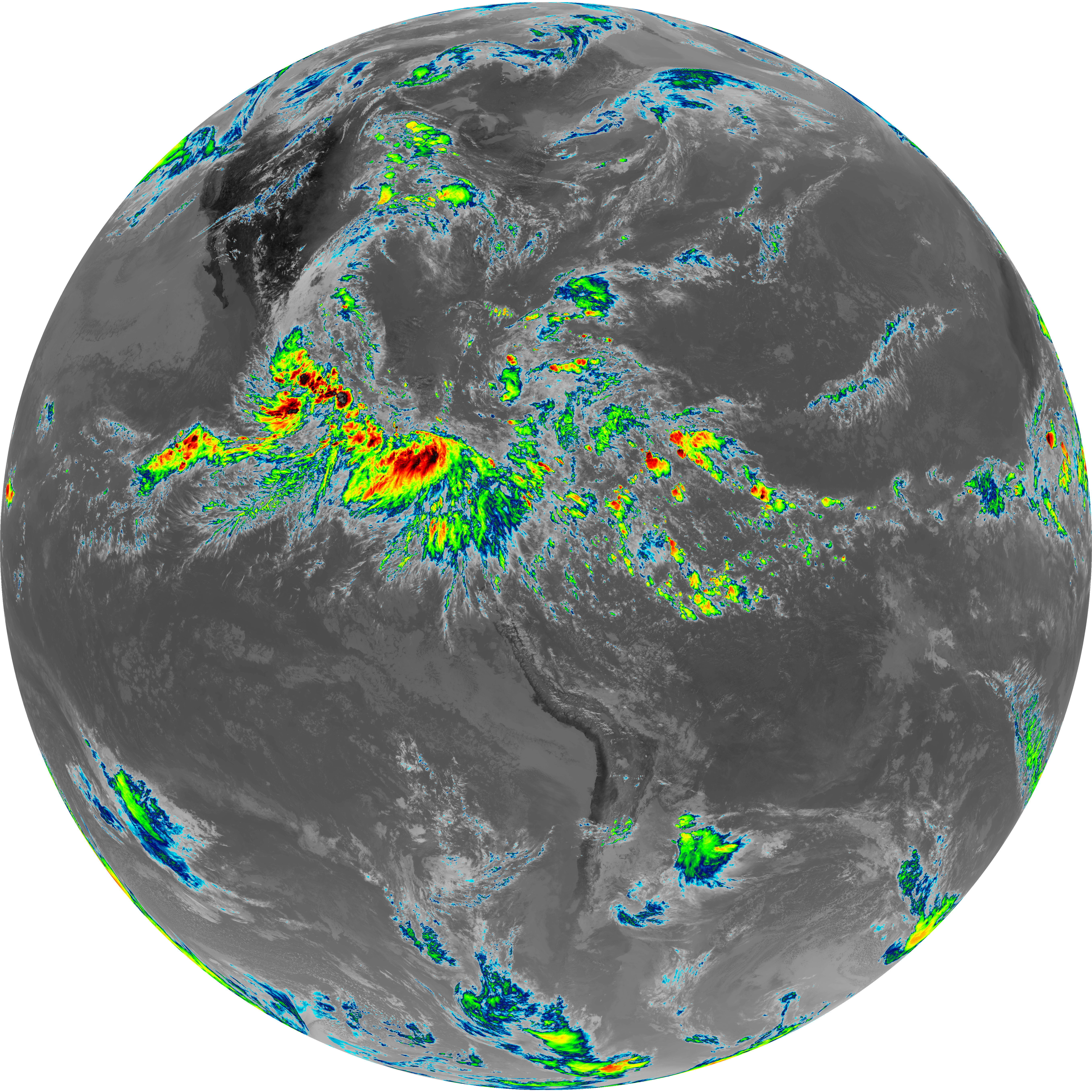
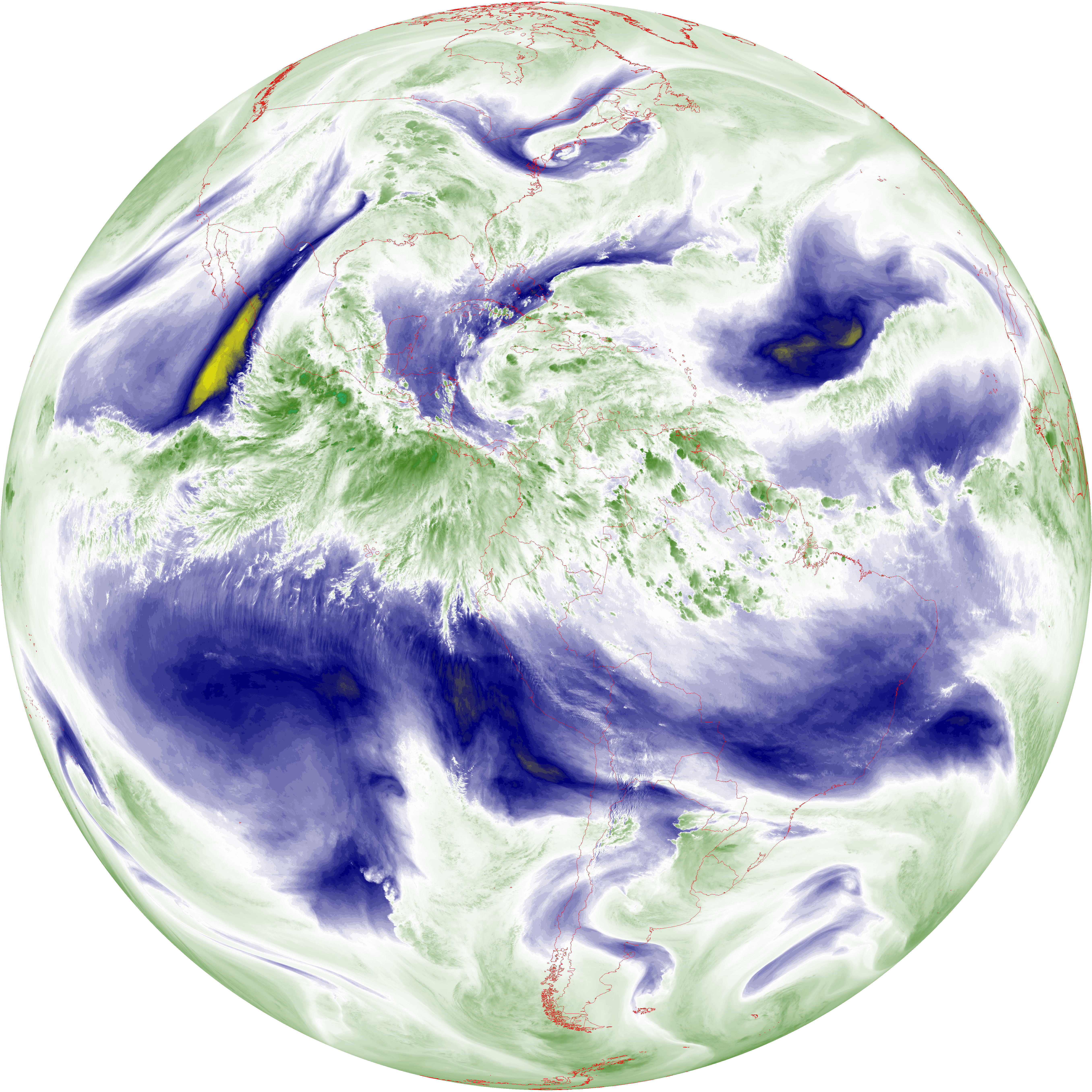
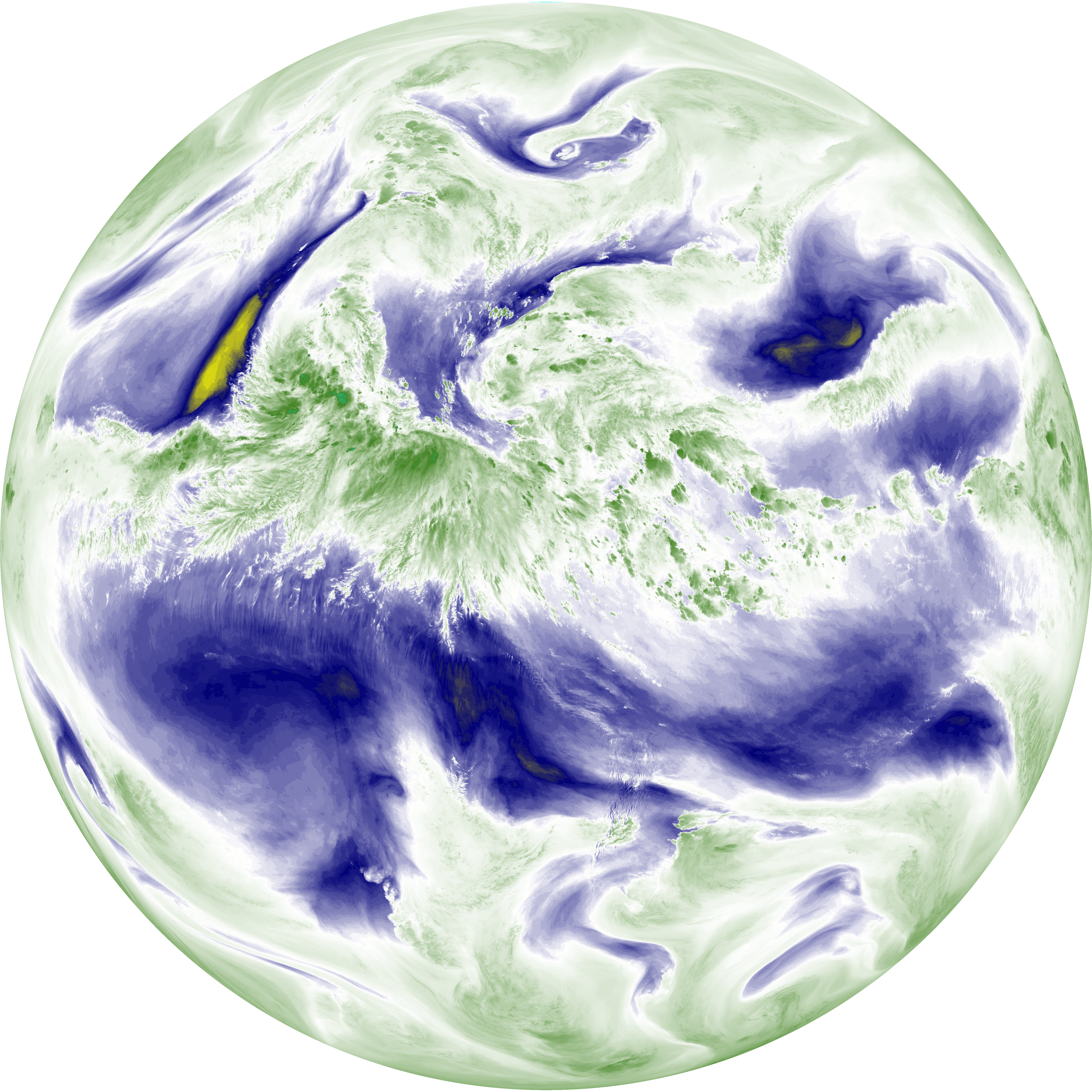
| abi_rgb_Dirty_Longwave_Window_map.png | 10652128 | 2026-Jun-07 20:28 |
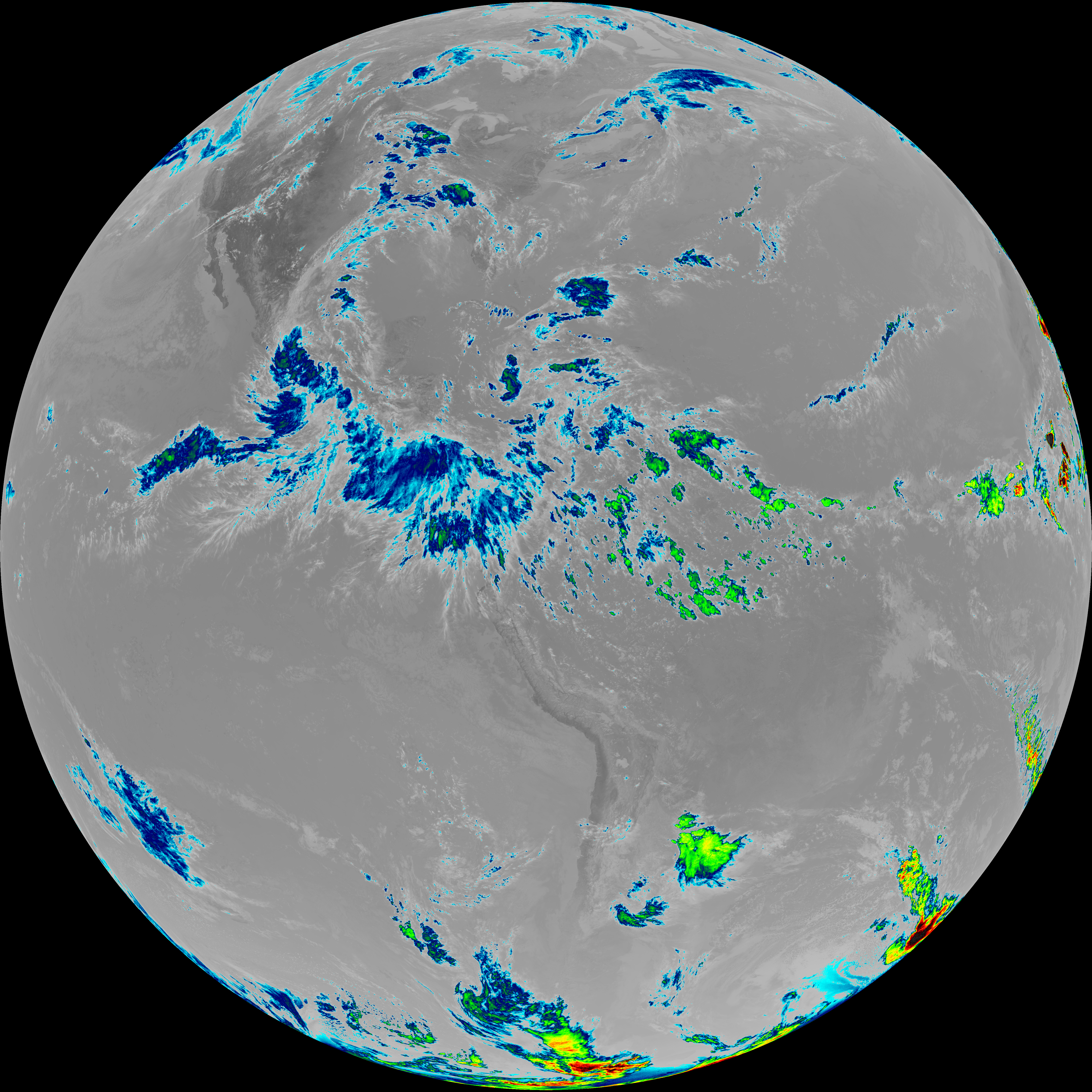
| abi_rgb_Dirty_Longwave_Window.png | 10581418 | 2026-Jun-07 20:28 |
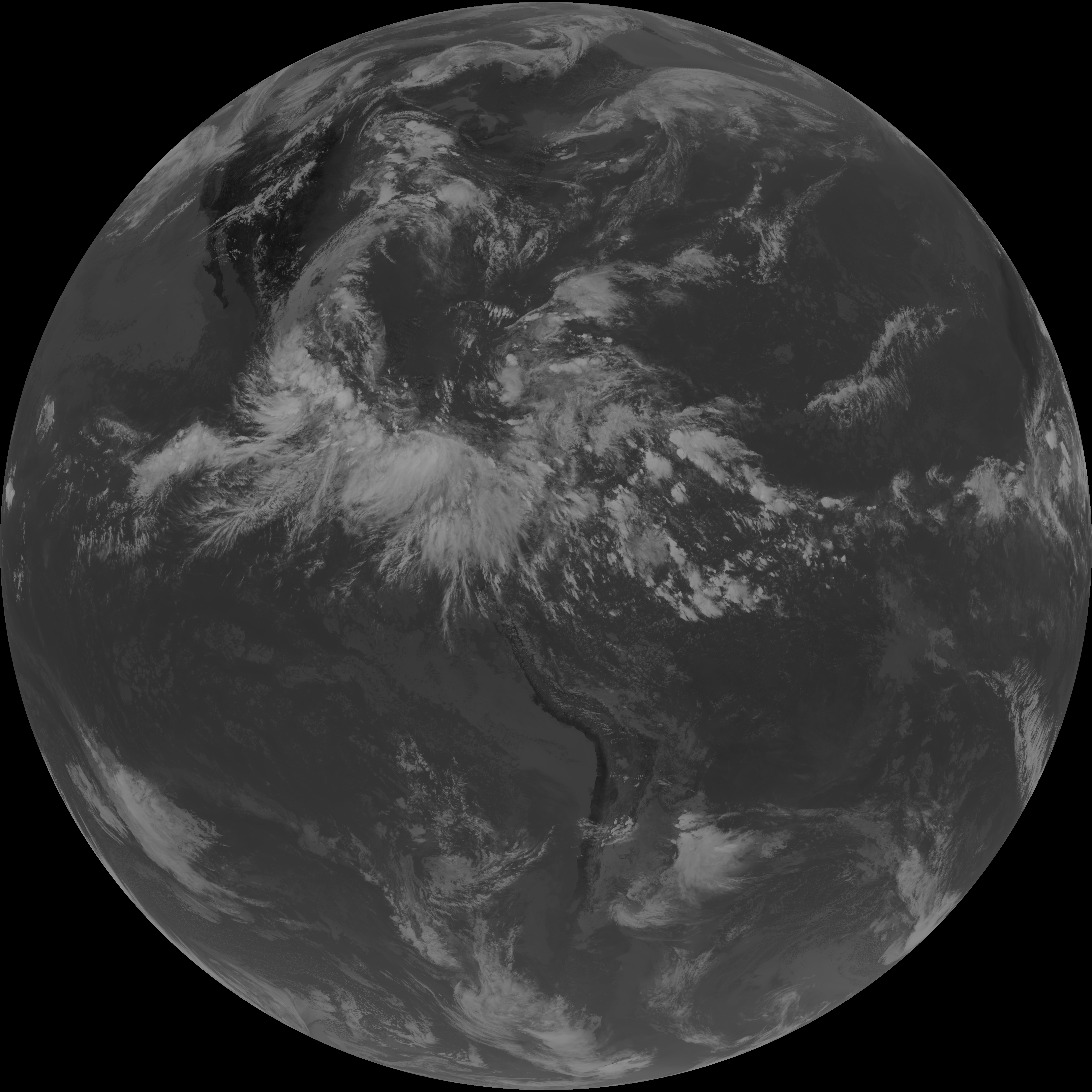
| G19_15_20260607T193021Z.png | 7839563 | 2026-Jun-07 20:28 |
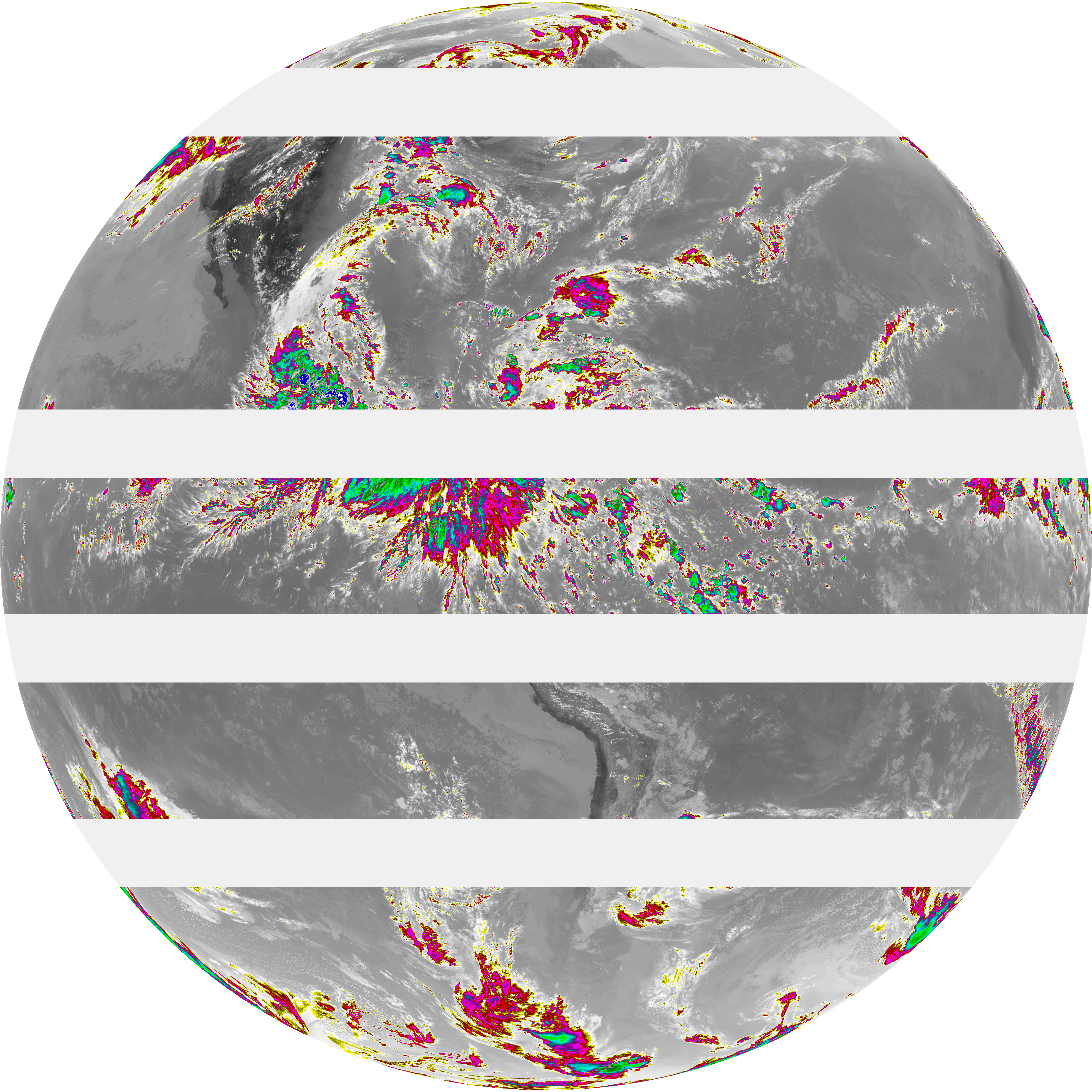
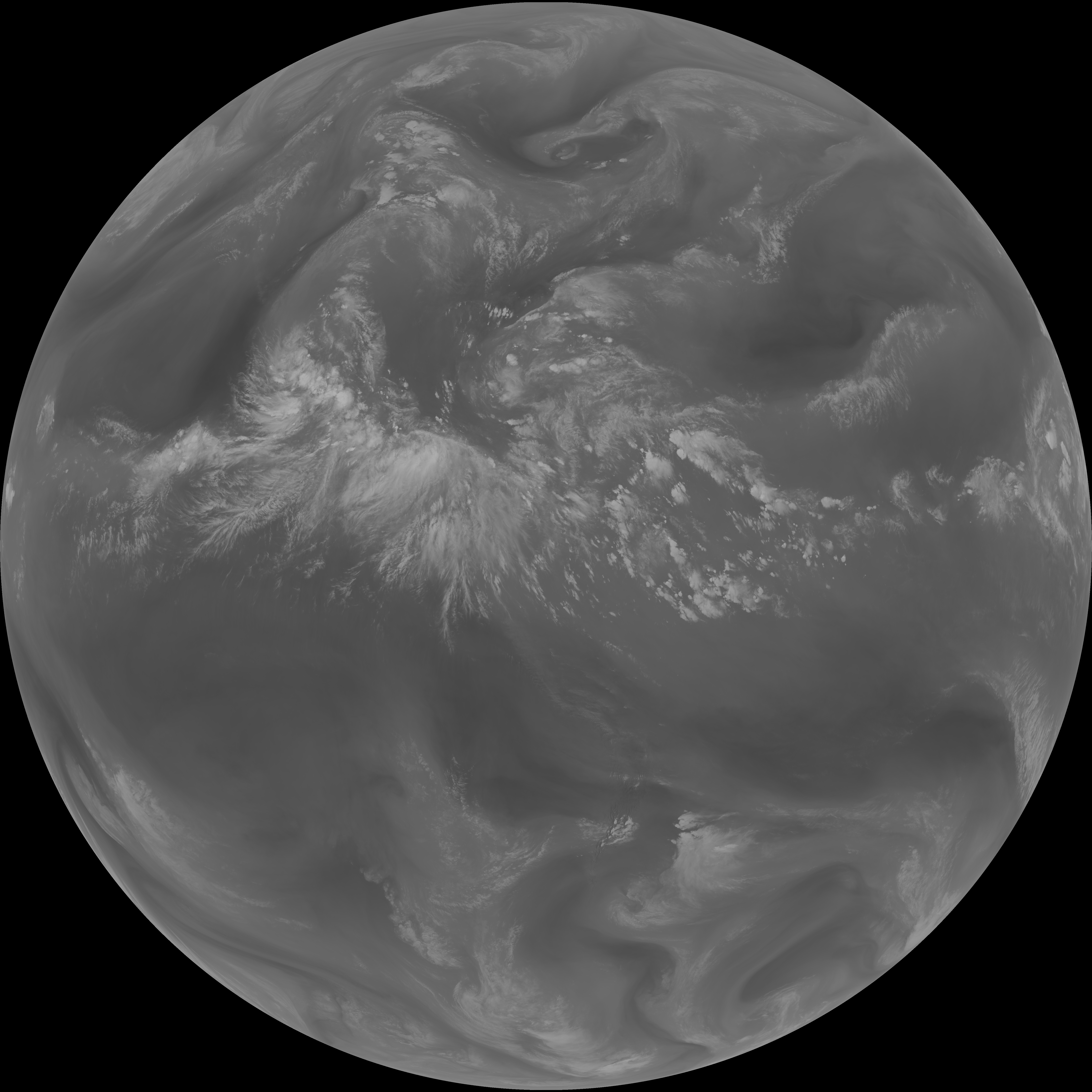
| abi_rgb_Infrared_Longwave_Window_Band_map.png | 14755019 | 2026-Jun-07 19:59 |
| abi_rgb_Infrared_Longwave_Window_Band.png | 14723469 | 2026-Jun-07 19:59 |
| G19_14_20260607T193021Z.png | 10992201 | 2026-Jun-07 19:58 |
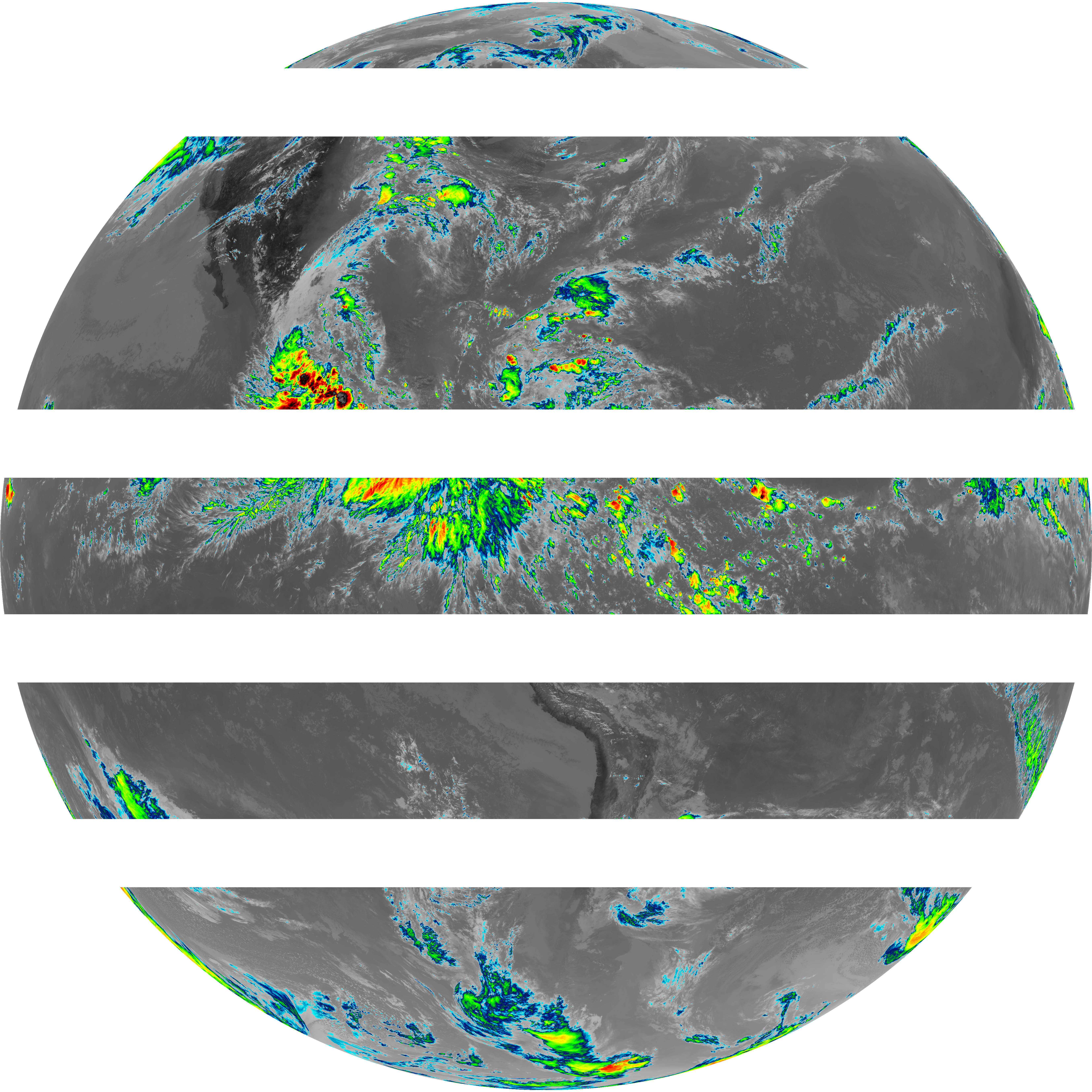
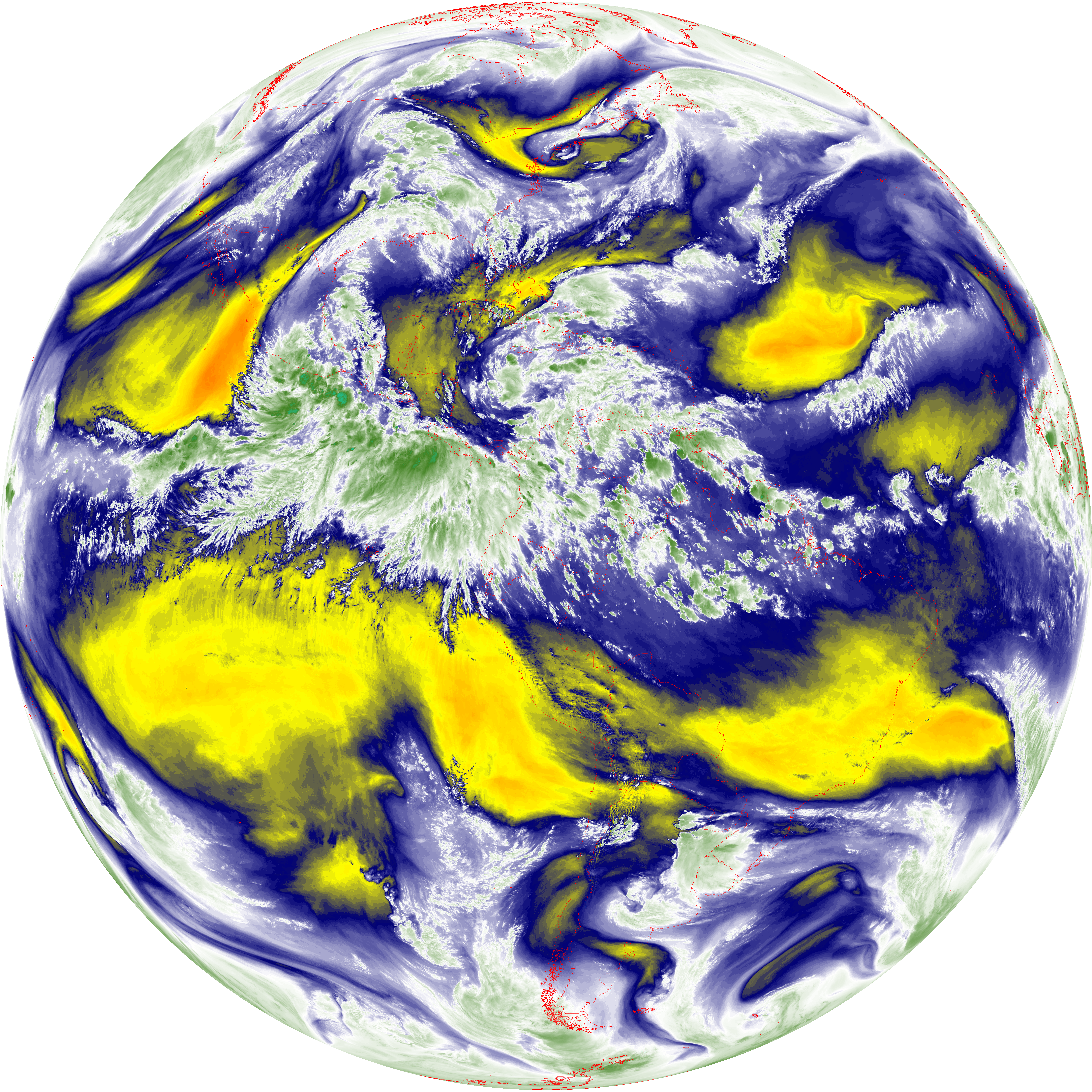
| abi_rgb_Mid-level_Tropospheric_Water_Vapor_map.png | 9450260 | 2026-Jun-07 19:56 |
| abi_rgb_Mid-level_Tropospheric_Water_Vapor.png | 9356406 | 2026-Jun-07 19:56 |
| G19_9_20260607T193021Z.png | 6972711 | 2026-Jun-07 19:55 |
| abi_rgb_Upper-Level_Tropospheric_Water_Vapor_map.png | 8203919 | 2026-Jun-07 19:53 |
| abi_rgb_Upper-Level_Tropospheric_Water_Vapor.png | 8099382 | 2026-Jun-07 19:53 |
| G19_8_20260607T193021Z.png | 6061343 | 2026-Jun-07 19:53 |
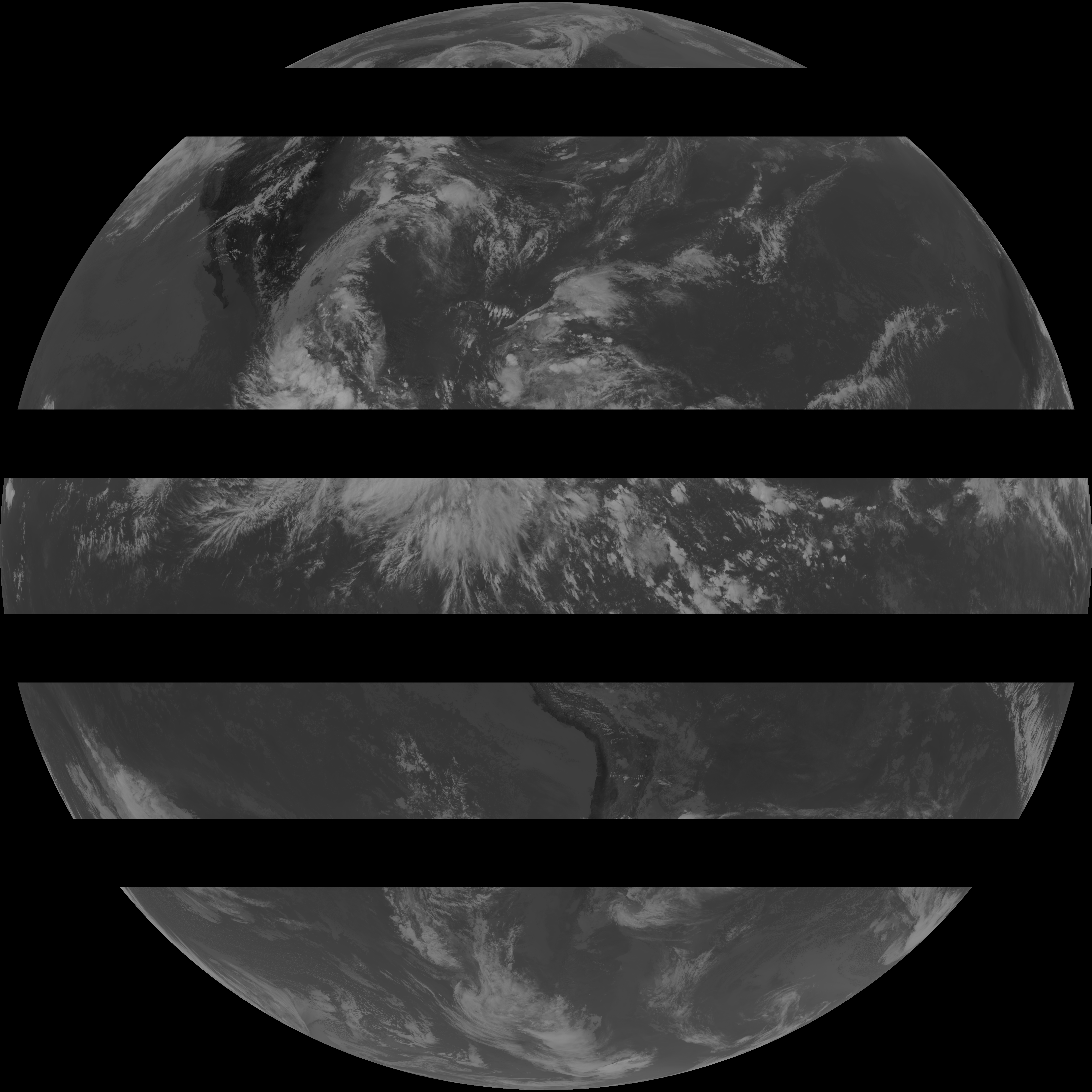
| G19_2_20260607T193021Z.png | 14215212 | 2026-Jun-07 19:51 |
| abi_rgb_Clean_Longwave_IR_Window_Band_map.png | 14574850 | 2026-Jun-07 19:47 |
| abi_rgb_Clean_Longwave_IR_Window_Band.png | 14543721 | 2026-Jun-07 19:47 |
| G19_13_20260607T193021Z.png | 10846207 | 2026-Jun-07 19:46 |
| abi_rgb_Shortwave_Window_Band_map.png | 14217189 | 2026-Jun-07 19:44 |
| abi_rgb_Shortwave_Window_Band.png | 14170418 | 2026-Jun-07 19:43 |
| G19_7_20260607T193021Z.png | 10368824 | 2026-Jun-07 19:43 |