| Parent directory/ | - | - |
| abi_rgb_Infrared_Longwave_Window_Band_map.png | 14680275 | 2026-Jun-07 20:28 |
| abi_rgb_Infrared_Longwave_Window_Band.png | 14647878 | 2026-Jun-07 20:28 |
| abi_rgb_Clean_Longwave_IR_Window_Band_map.png | 14486521 | 2026-Jun-07 20:16 |
| abi_rgb_Clean_Longwave_IR_Window_Band.png | 14454563 | 2026-Jun-07 20:16 |
| abi_rgb_Shortwave_Window_Band_map.png | 14226528 | 2026-Jun-07 20:13 |
| abi_rgb_Shortwave_Window_Band.png | 14178909 | 2026-Jun-07 20:13 |
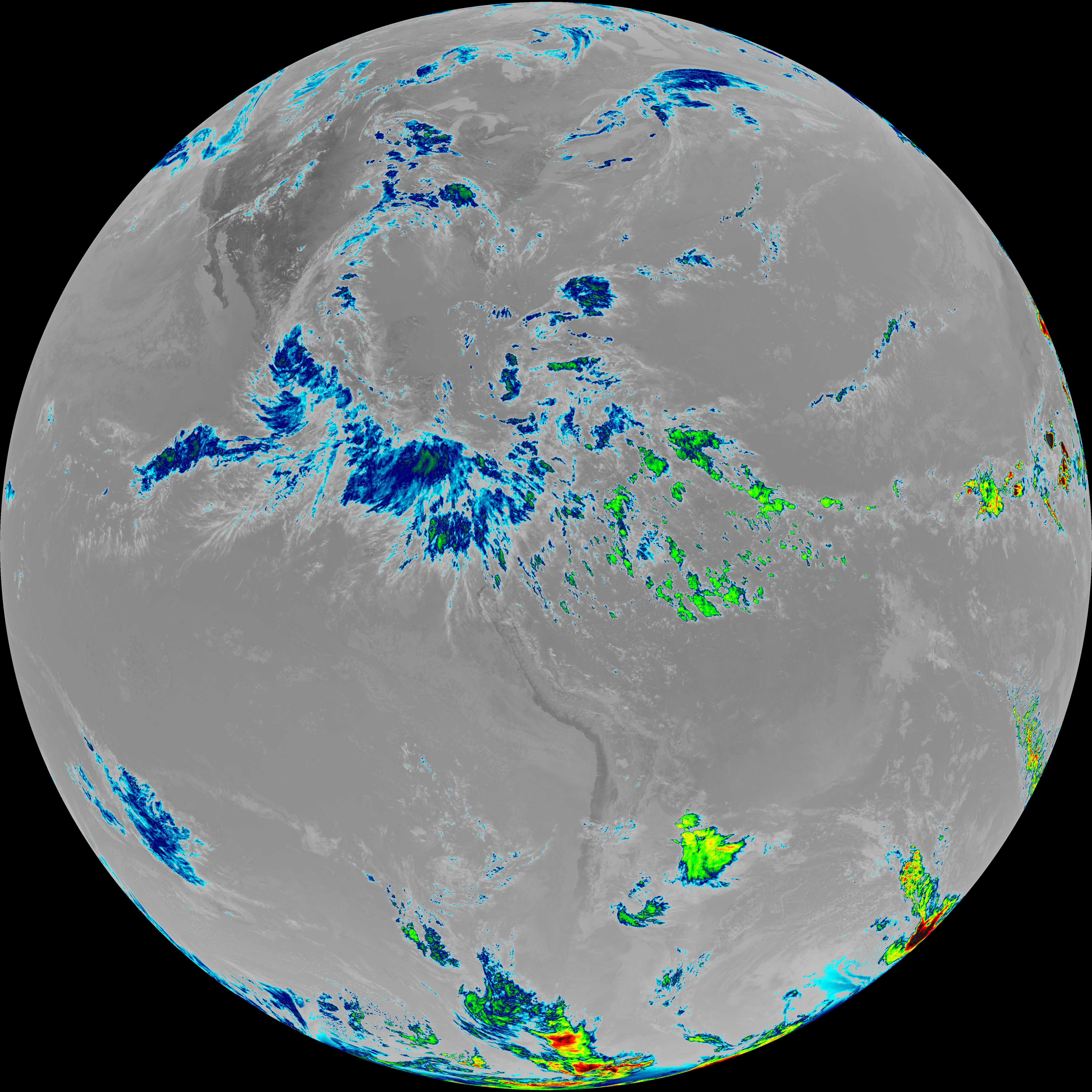
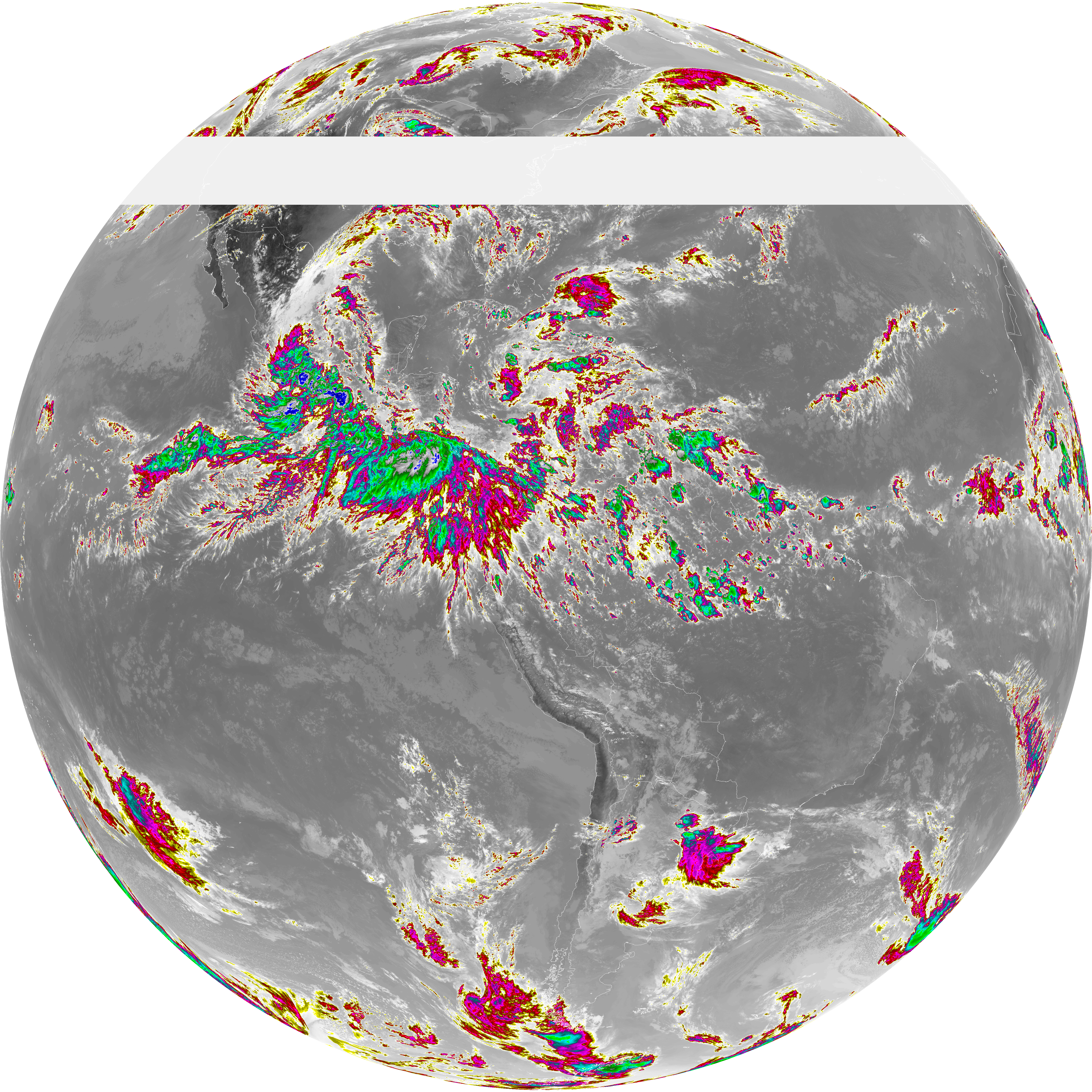
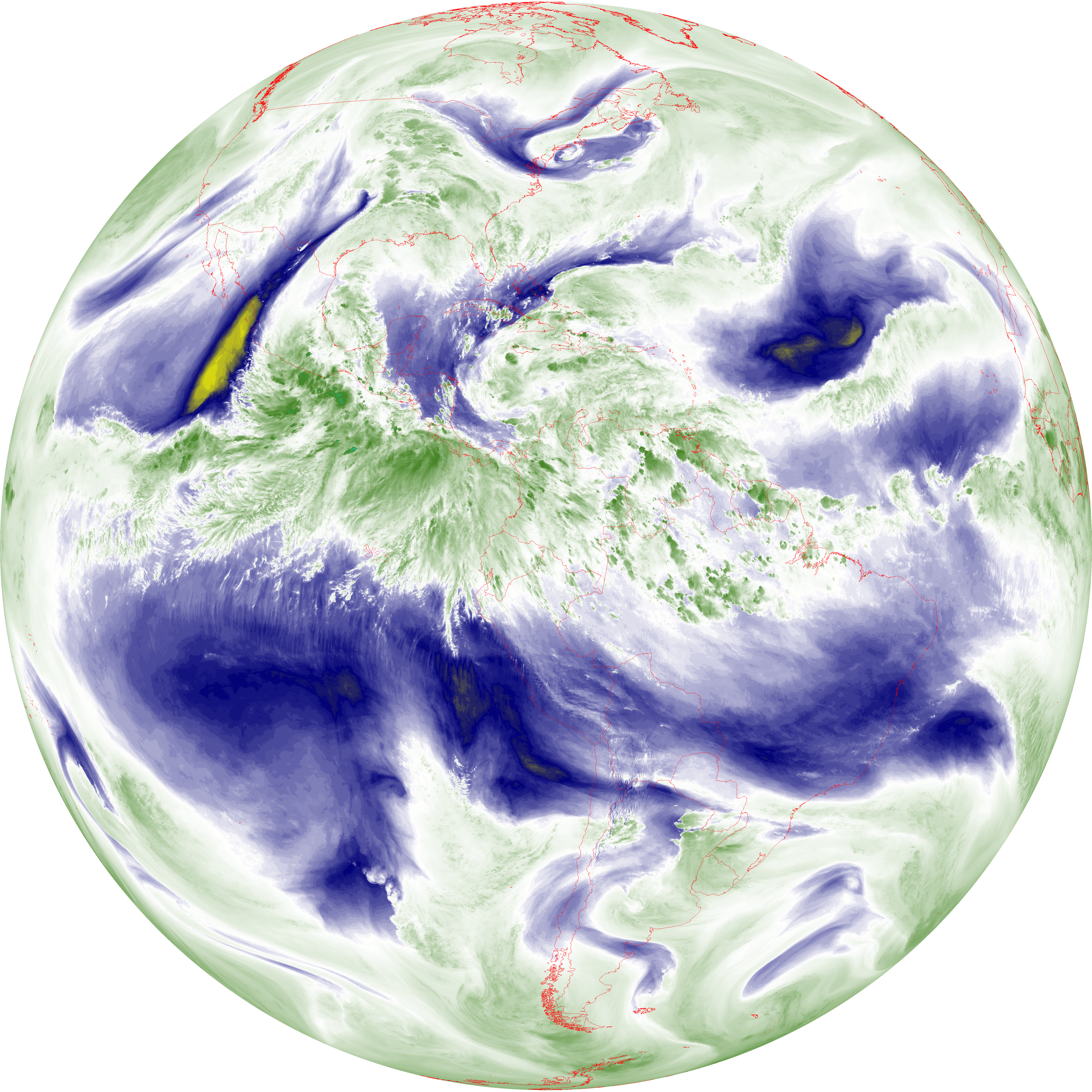
| abi_rgb_Dirty_Longwave_Window_map.png | 13486376 | 2026-Jun-07 20:59 |
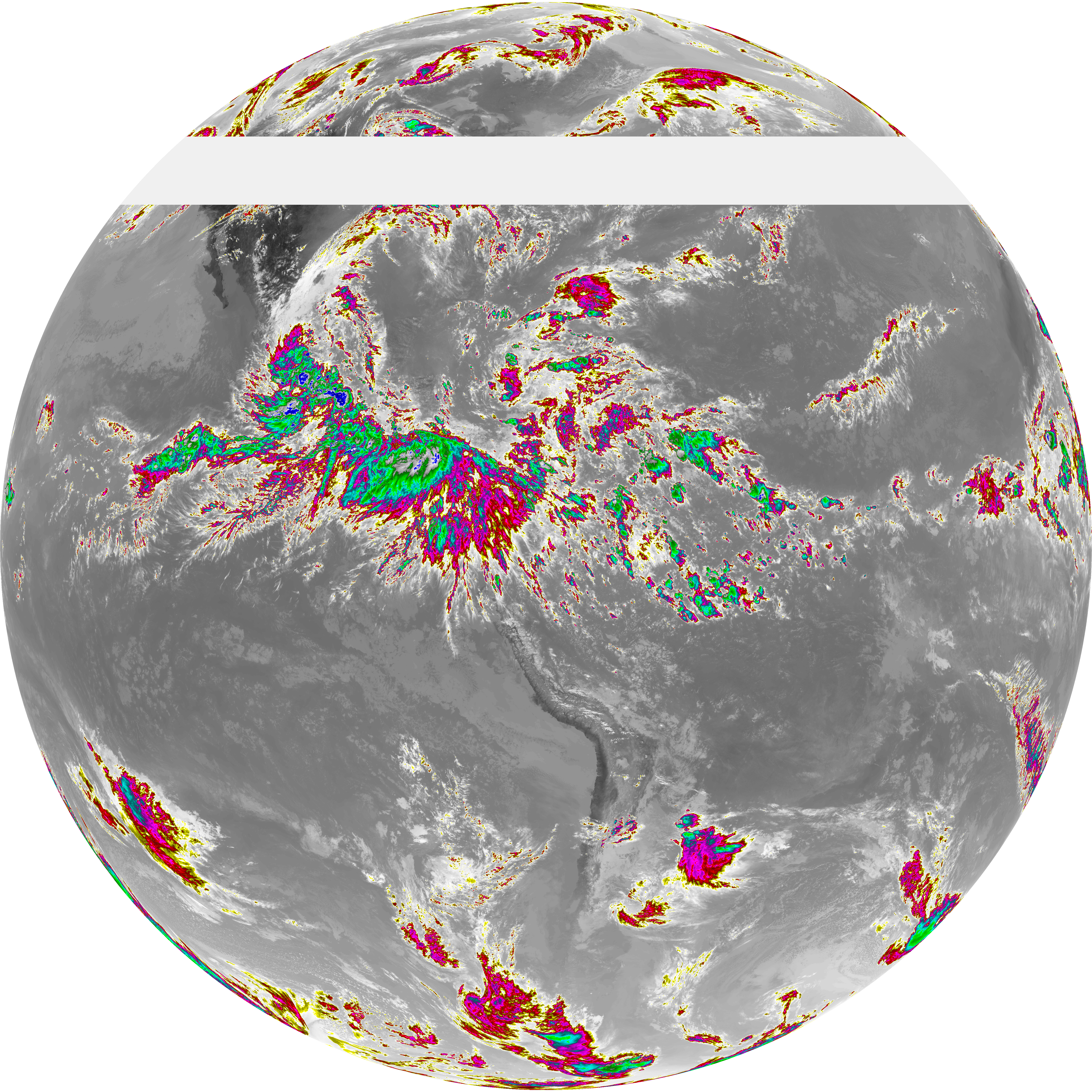
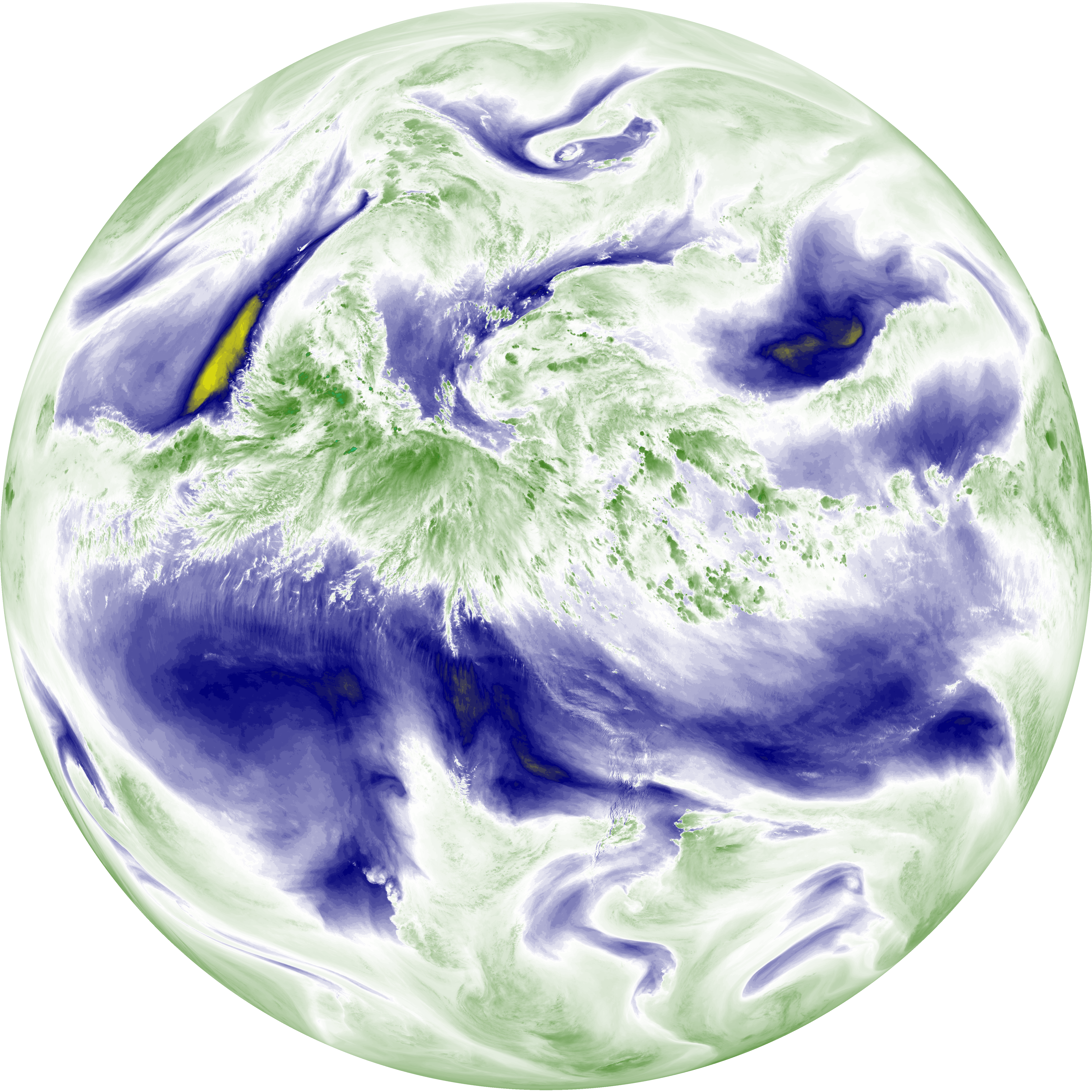
| abi_rgb_Dirty_Longwave_Window.png | 13446085 | 2026-Jun-07 20:58 |
| G19_2_20260607T200021Z.png | 13231133 | 2026-Jun-07 20:20 |
| abi_rgb_Dirty_Longwave_Window_-_CIRA_map.png | 12002598 | 2026-Jun-07 20:59 |
| abi_rgb_Dirty_Longwave_Window_-_CIRA.png | 11945220 | 2026-Jun-07 20:59 |
| G19_14_20260607T200021Z.png | 10930737 | 2026-Jun-07 20:28 |
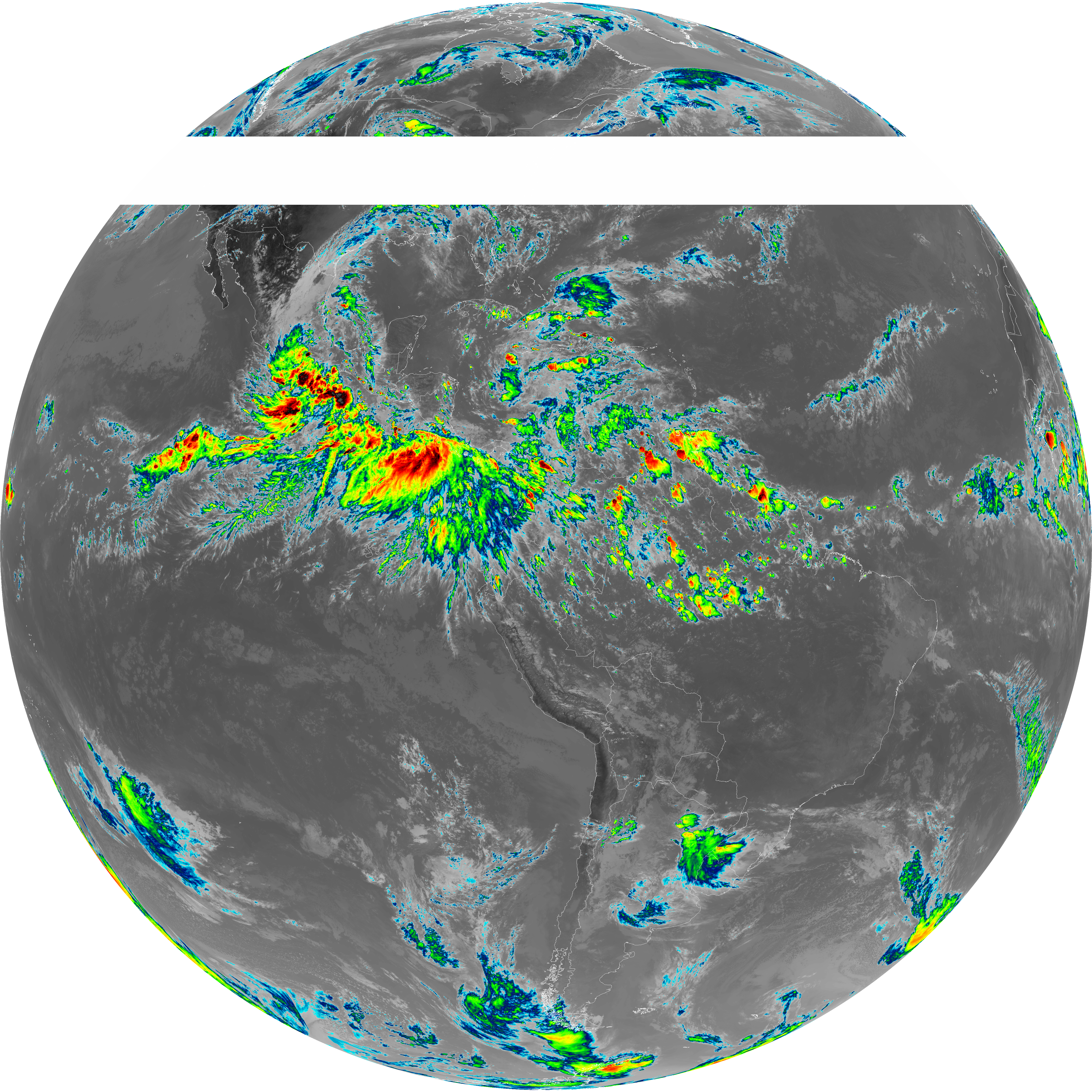
| G19_13_20260607T200021Z.png | 10773205 | 2026-Jun-07 20:16 |
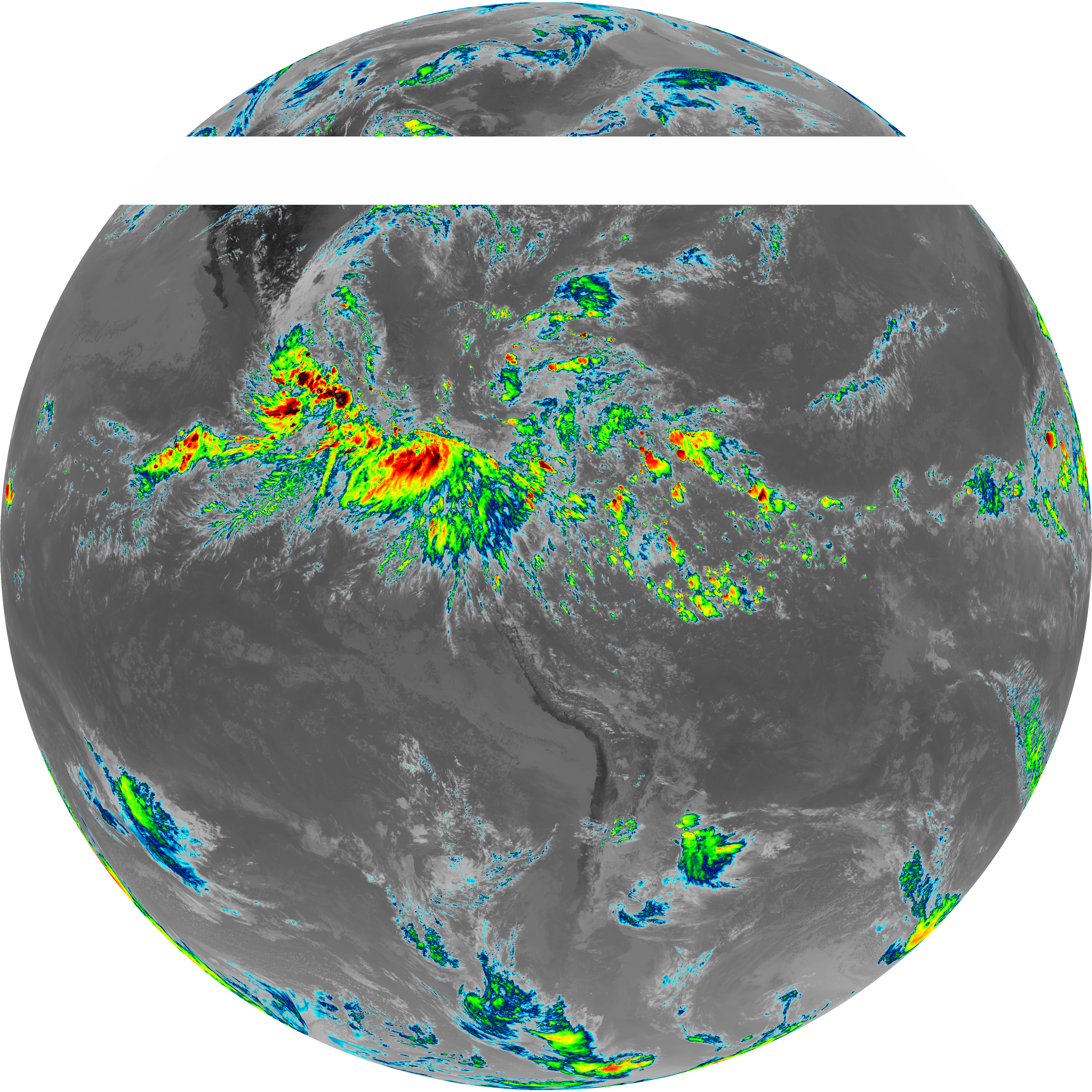
| G19_7_20260607T200021Z.png | 10365890 | 2026-Jun-07 20:13 |
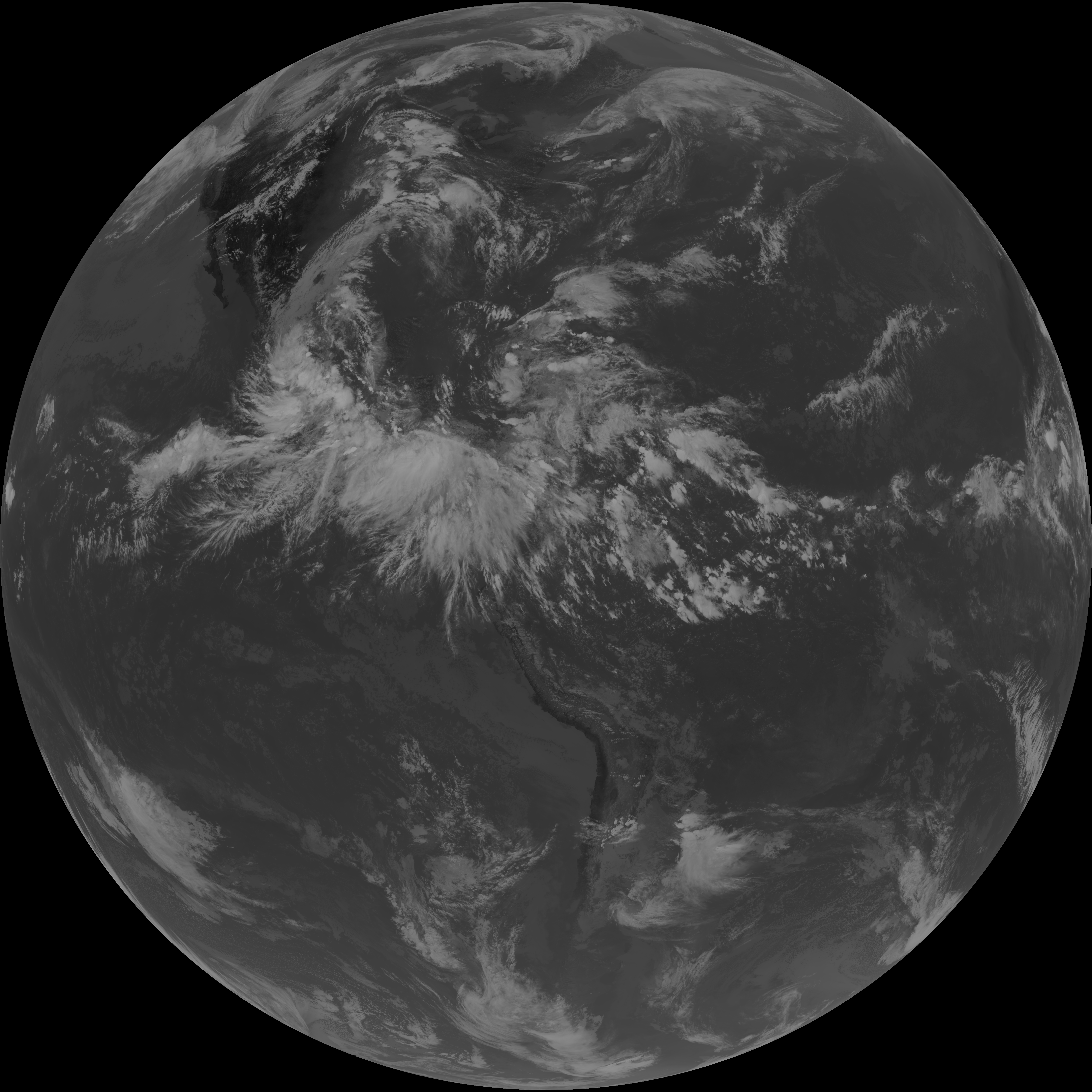
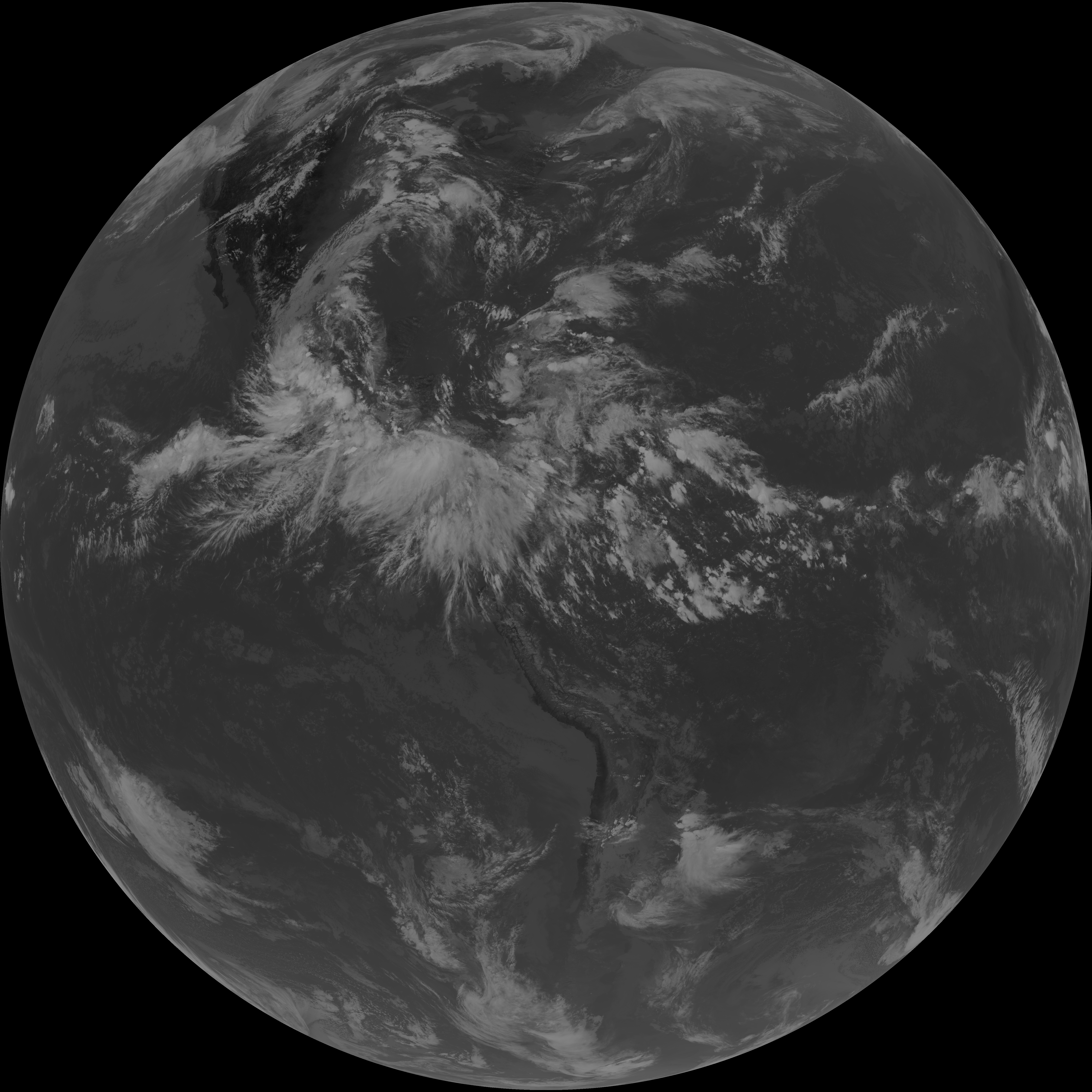
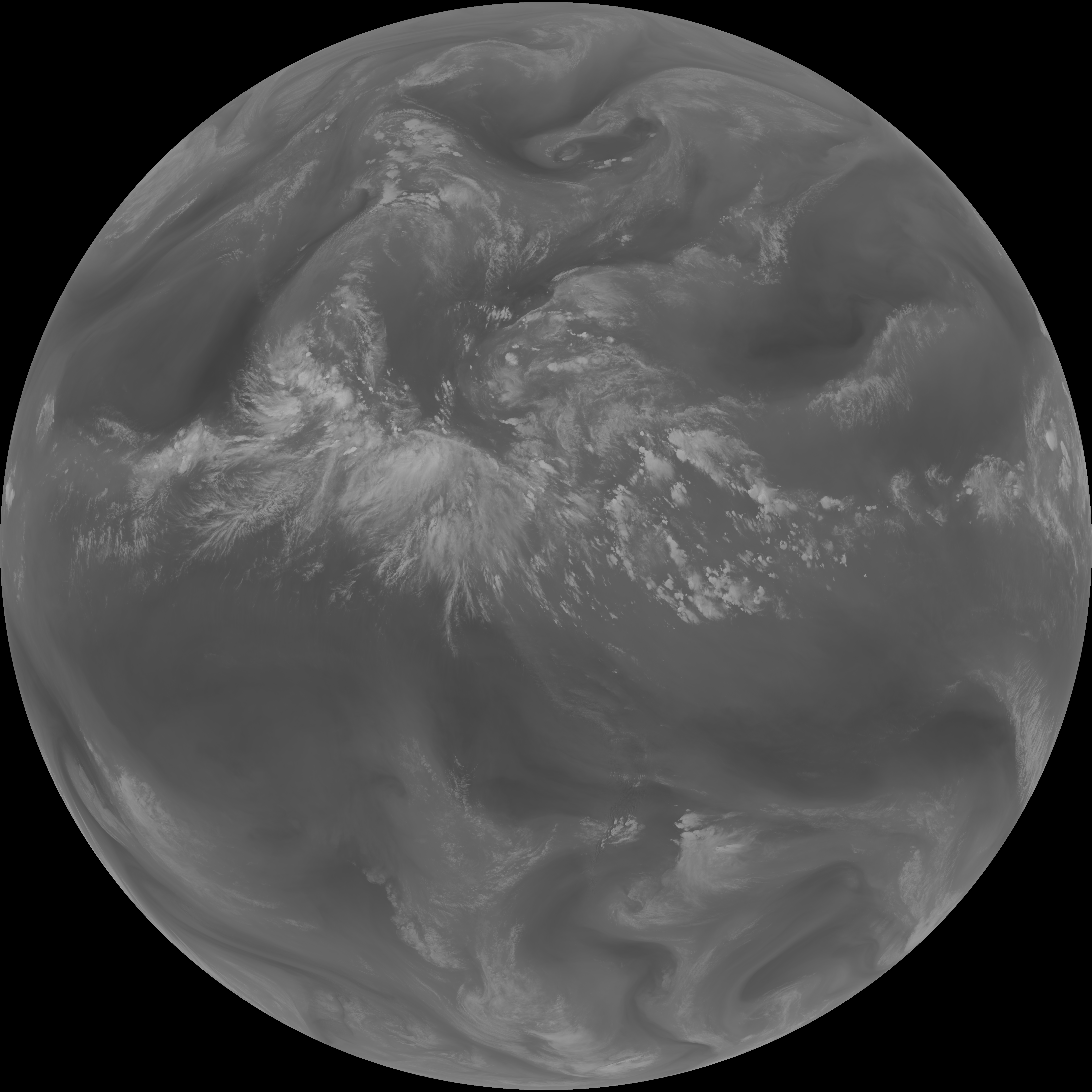
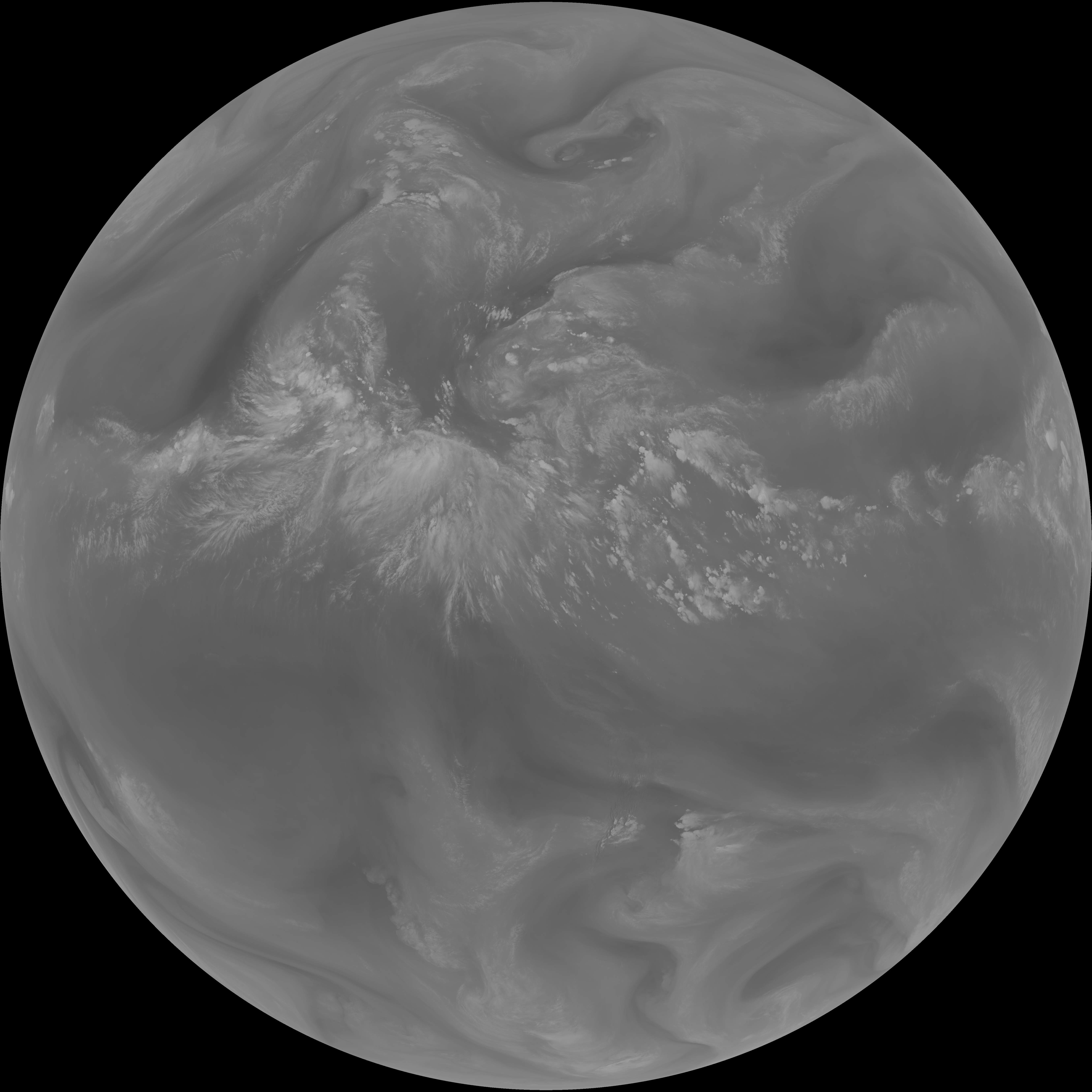
| G19_15_20260607T200021Z.png | 9976728 | 2026-Jun-07 20:58 |
| abi_rgb_Mid-level_Tropospheric_Water_Vapor_map.png | 9489943 | 2026-Jun-07 20:25 |
| abi_rgb_Mid-level_Tropospheric_Water_Vapor.png | 9396452 | 2026-Jun-07 20:25 |
| abi_rgb_Upper-Level_Tropospheric_Water_Vapor_map.png | 8238144 | 2026-Jun-07 20:23 |
| abi_rgb_Upper-Level_Tropospheric_Water_Vapor.png | 8134170 | 2026-Jun-07 20:23 |
| G19_9_20260607T200021Z.png | 7001130 | 2026-Jun-07 20:25 |
| G19_8_20260607T200021Z.png | 6085593 | 2026-Jun-07 20:22 |