| Parent directory/ | - | - |
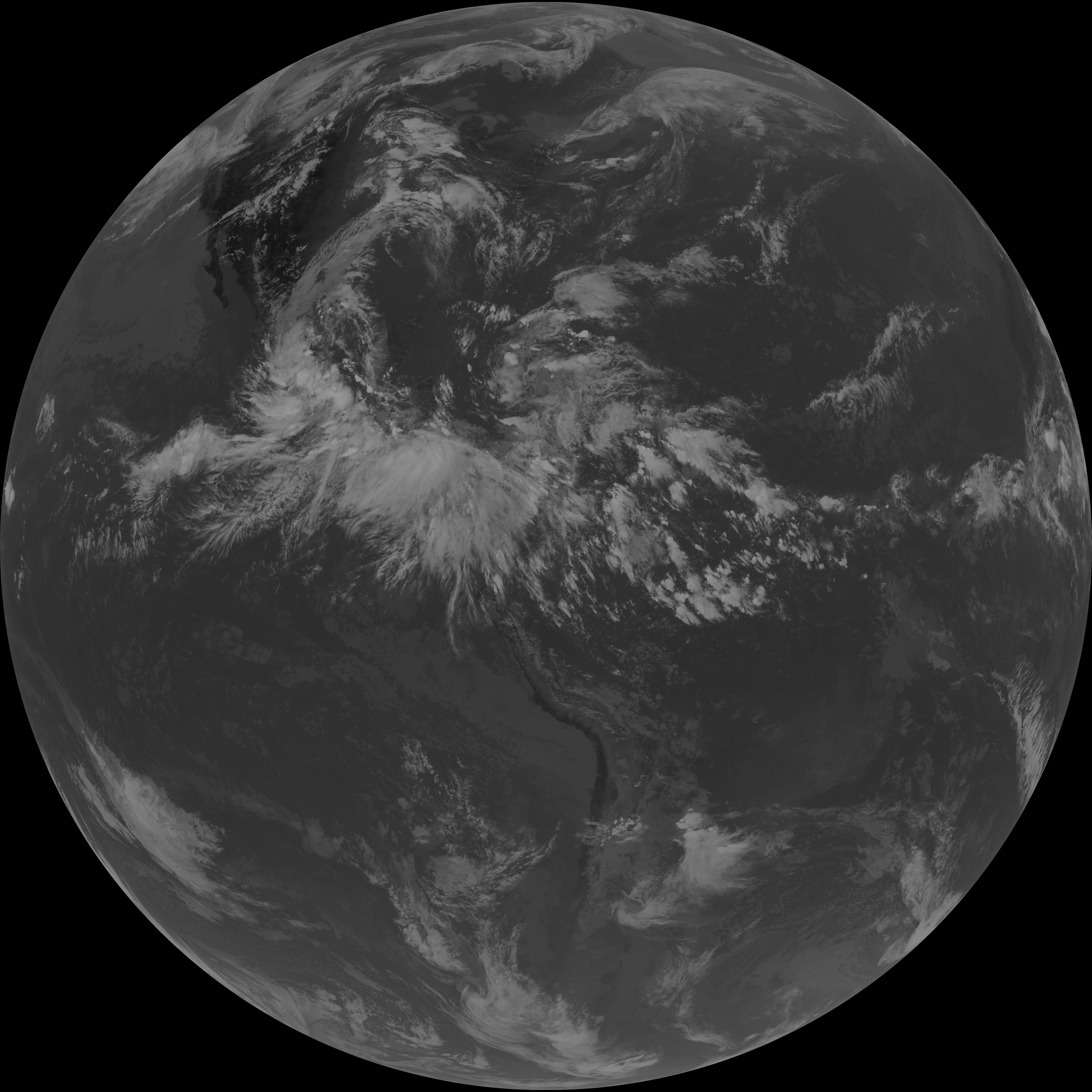
| G19_7_20260607T203021Z.png | 10367059 | 2026-Jun-07 20:43 |
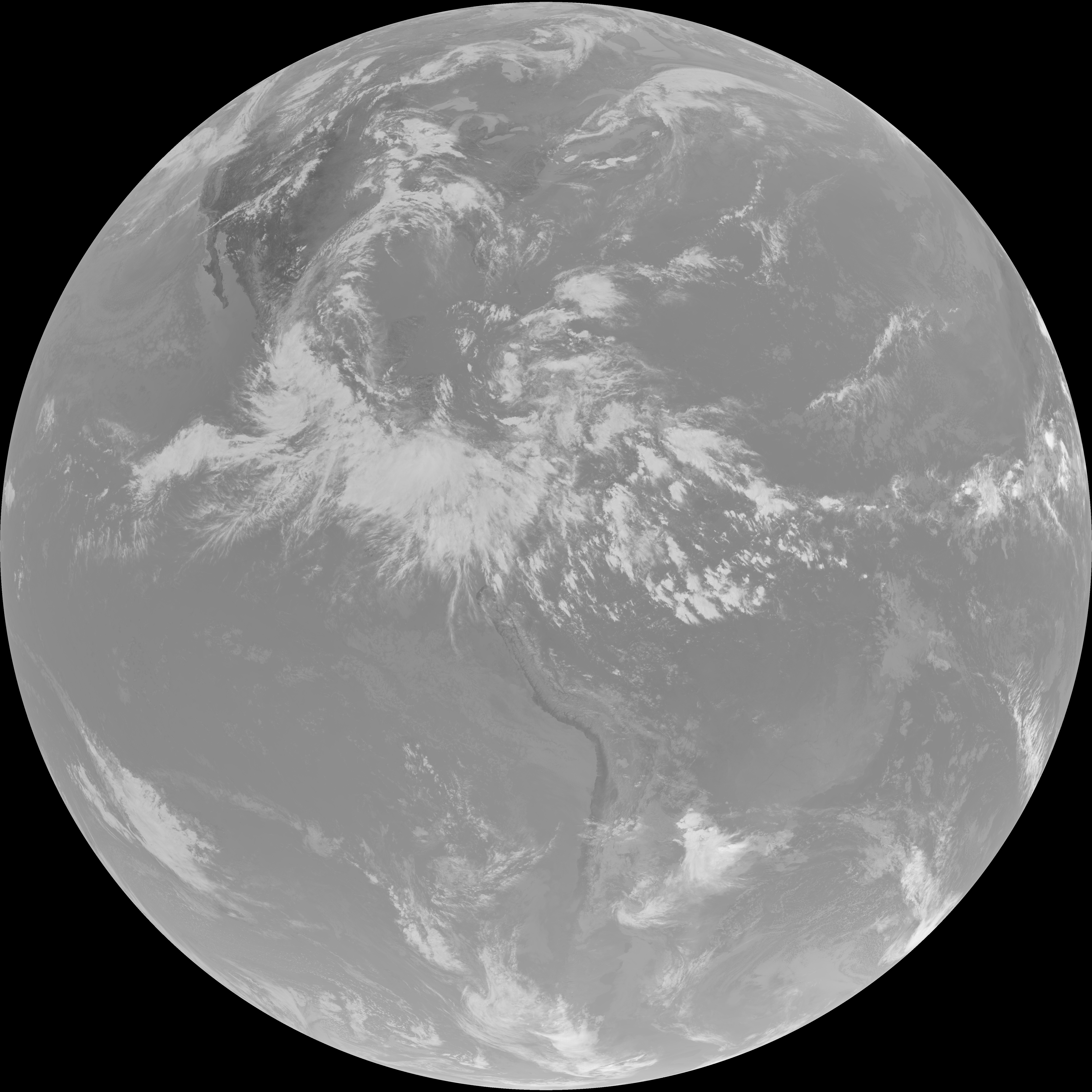
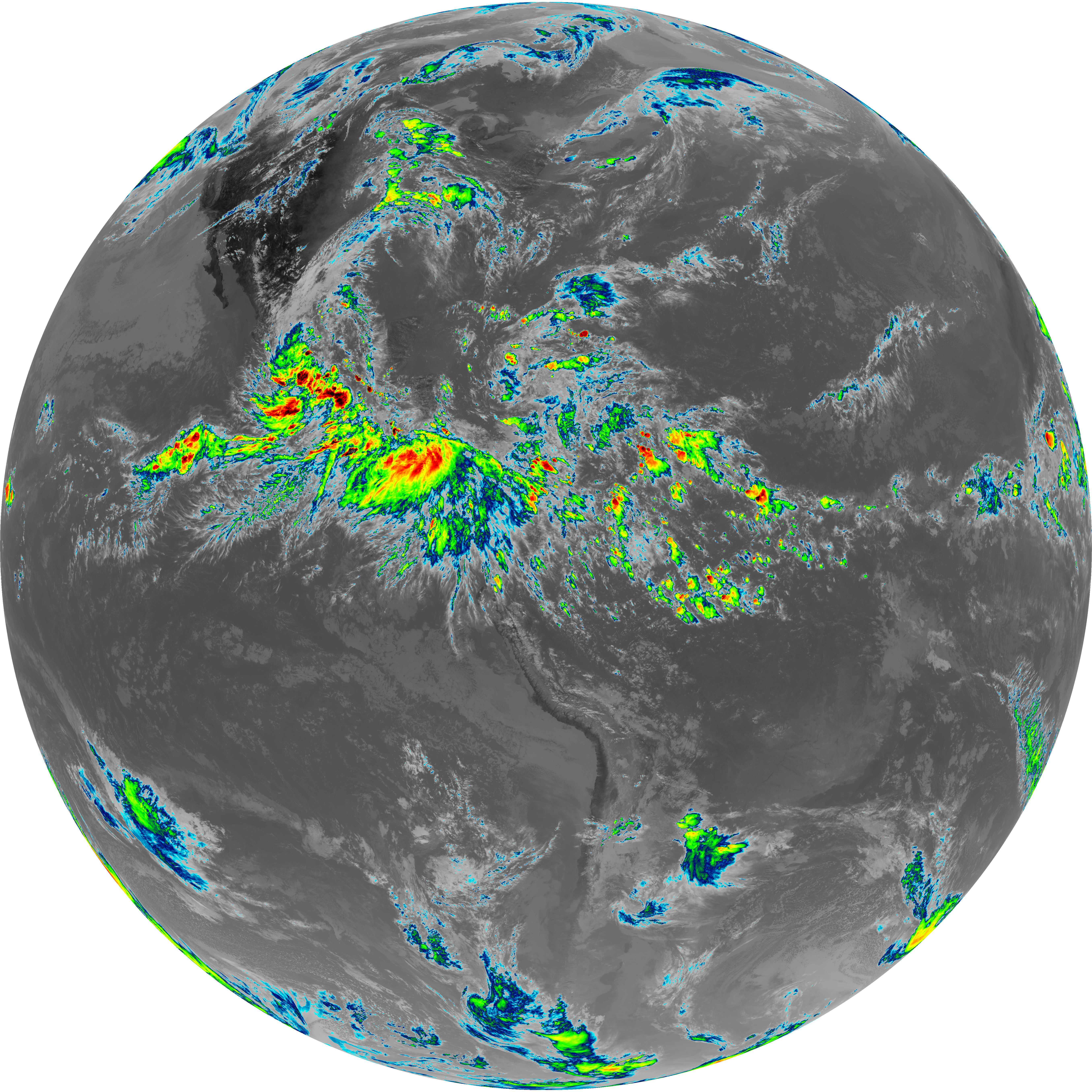
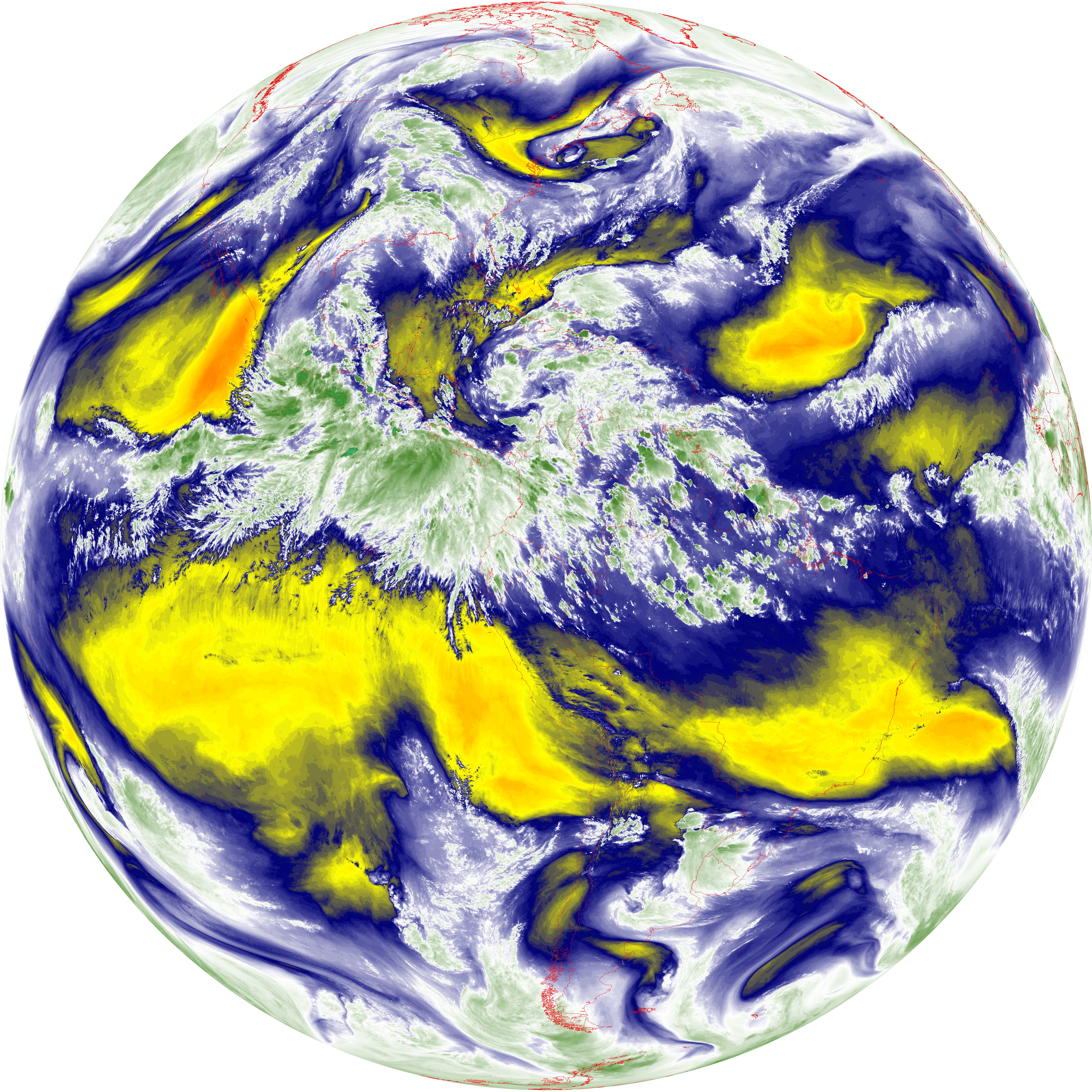
| abi_rgb_Shortwave_Window_Band.png | 14192273 | 2026-Jun-07 20:43 |
| abi_rgb_Shortwave_Window_Band_map.png | 14240060 | 2026-Jun-07 20:43 |
| G19_13_20260607T203021Z.png | 10719940 | 2026-Jun-07 20:46 |
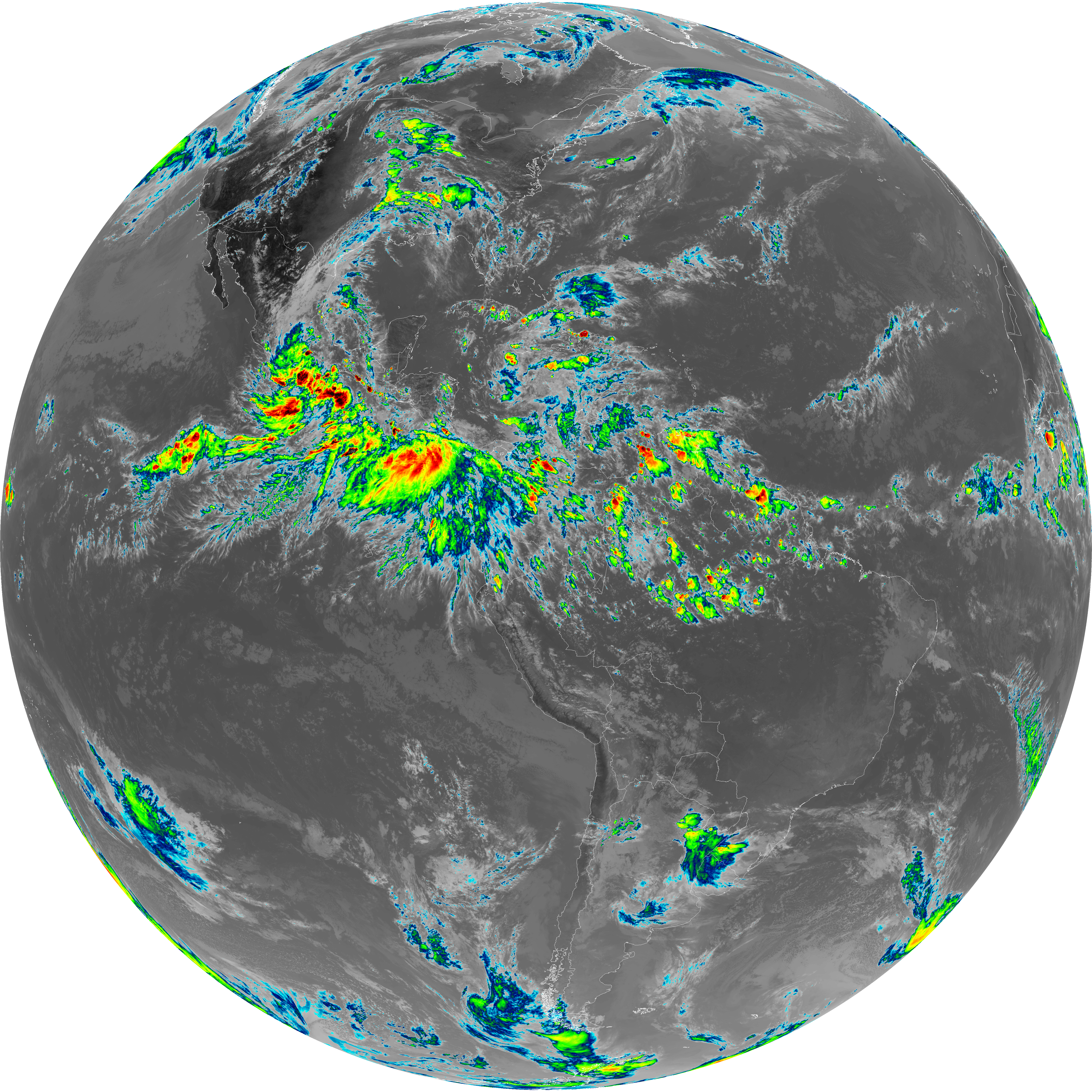
| abi_rgb_Clean_Longwave_IR_Window_Band.png | 14392752 | 2026-Jun-07 20:47 |
| abi_rgb_Clean_Longwave_IR_Window_Band_map.png | 14425207 | 2026-Jun-07 20:47 |
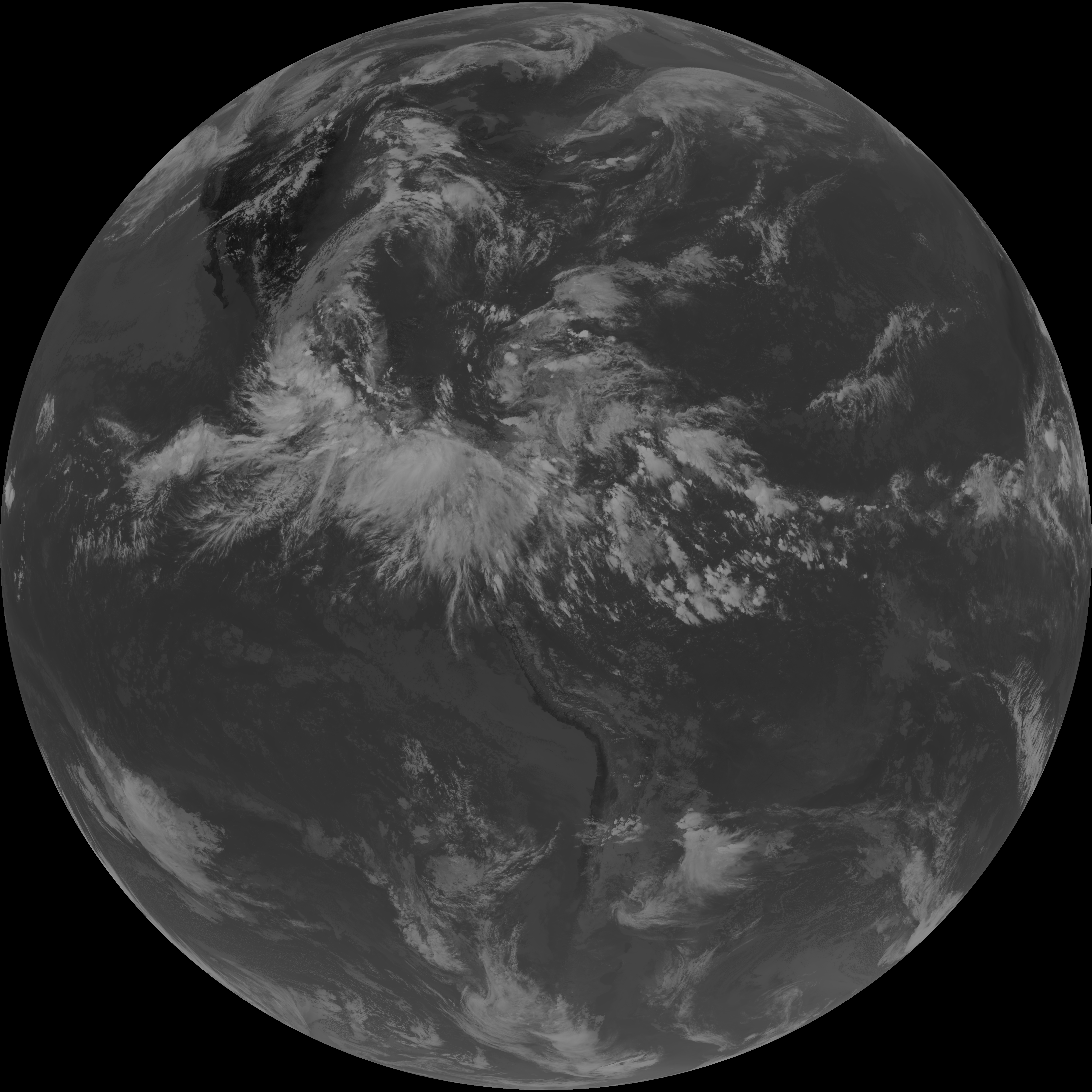
| G19_2_20260607T203021Z.png | 12278438 | 2026-Jun-07 20:50 |
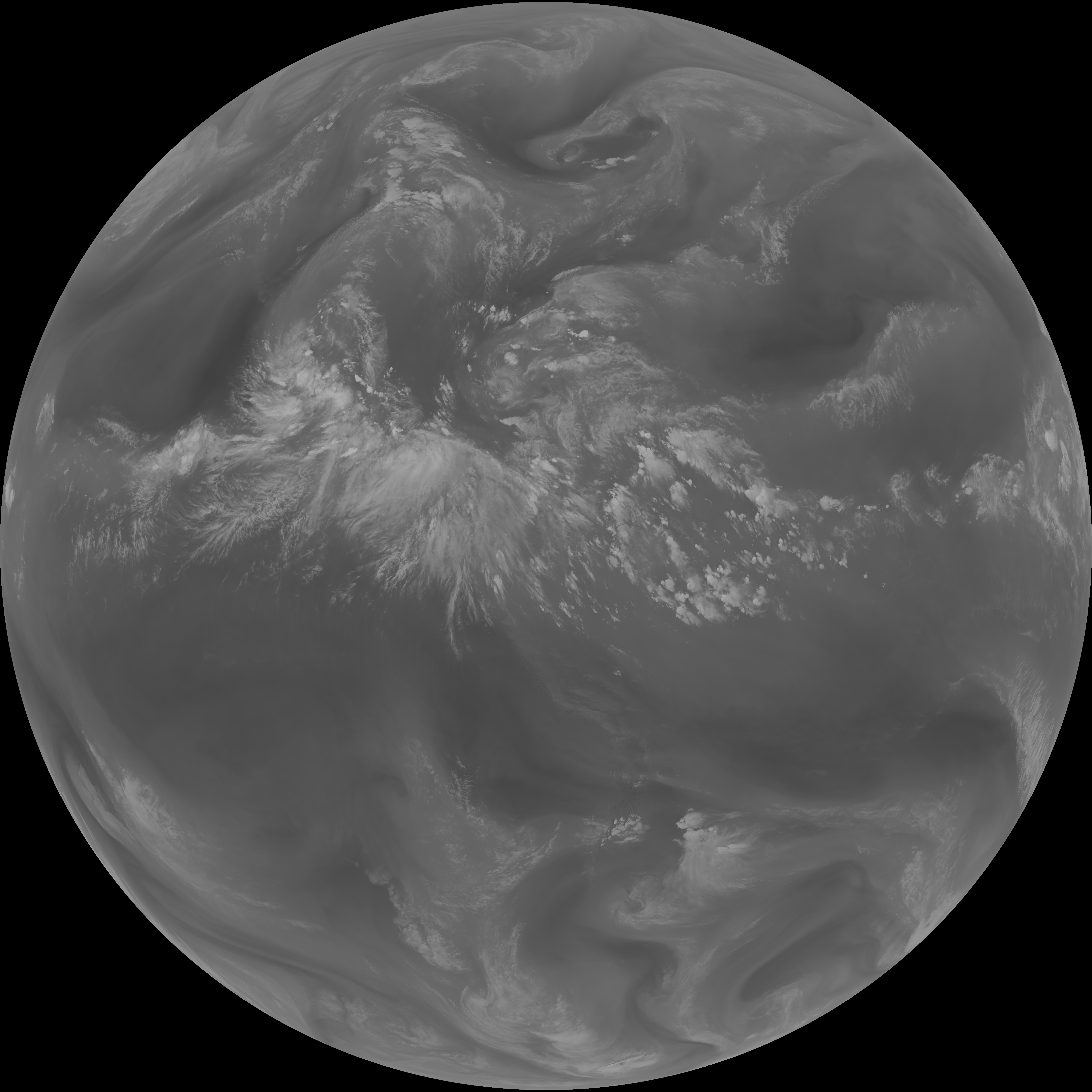
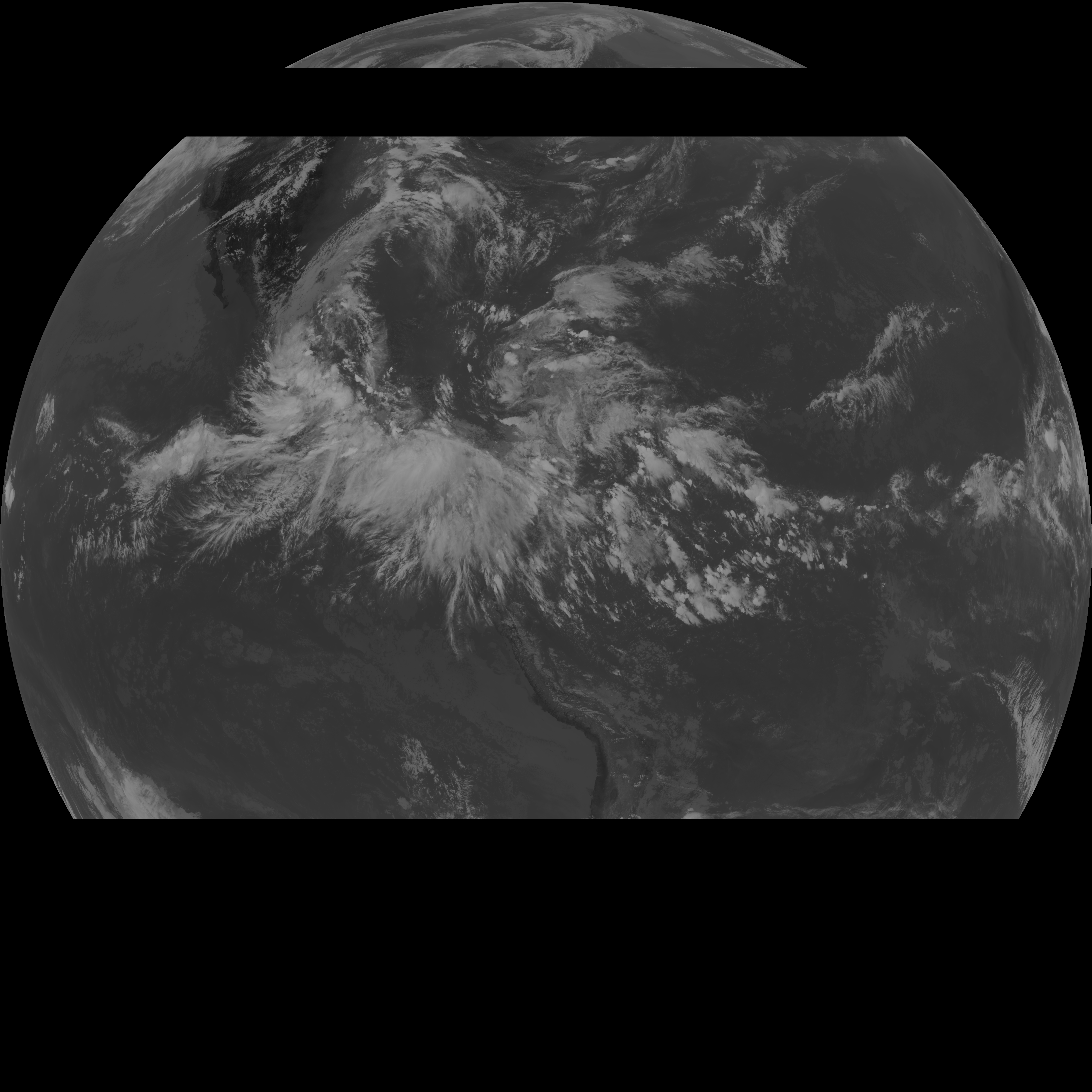
| G19_8_20260607T203021Z.png | 6089831 | 2026-Jun-07 20:52 |
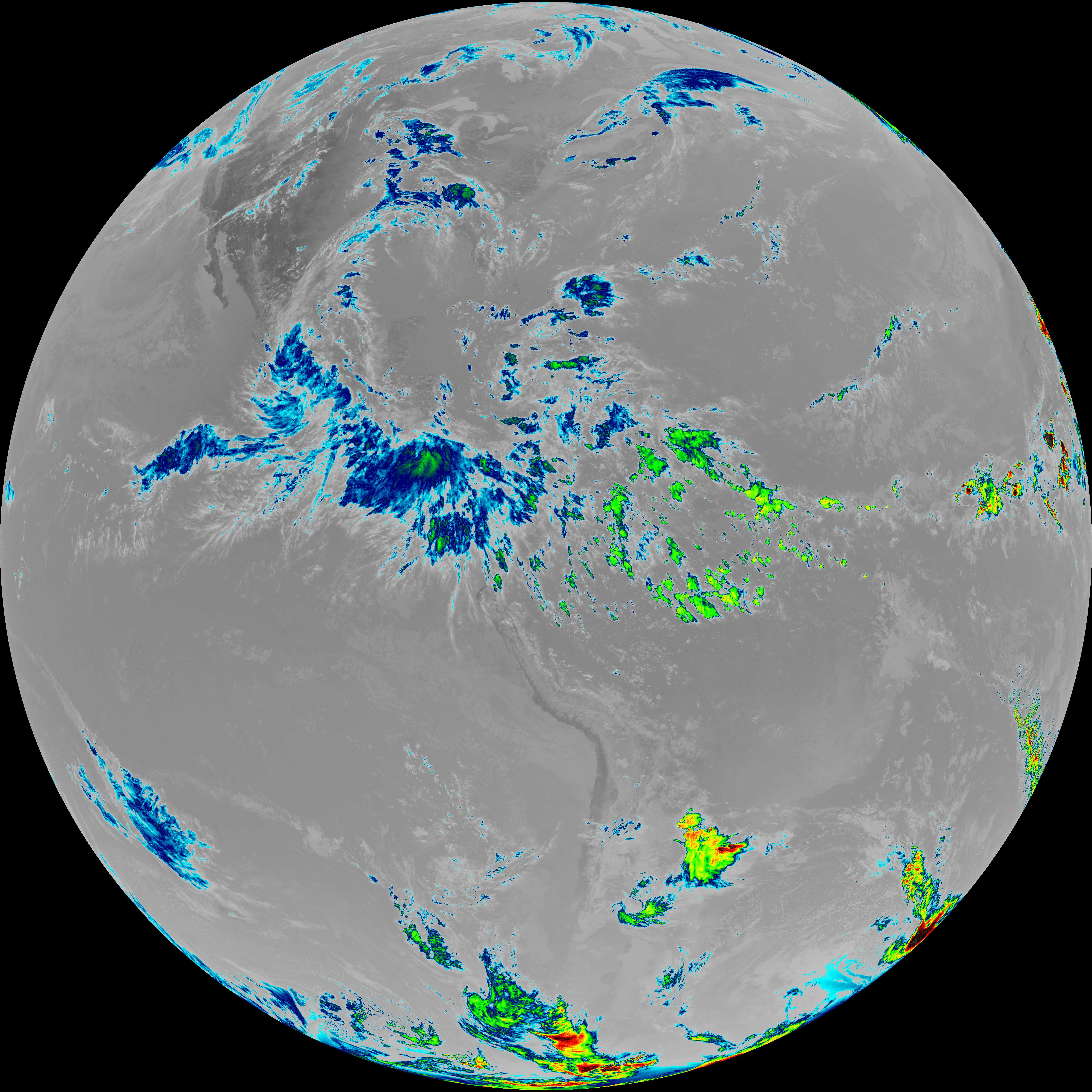
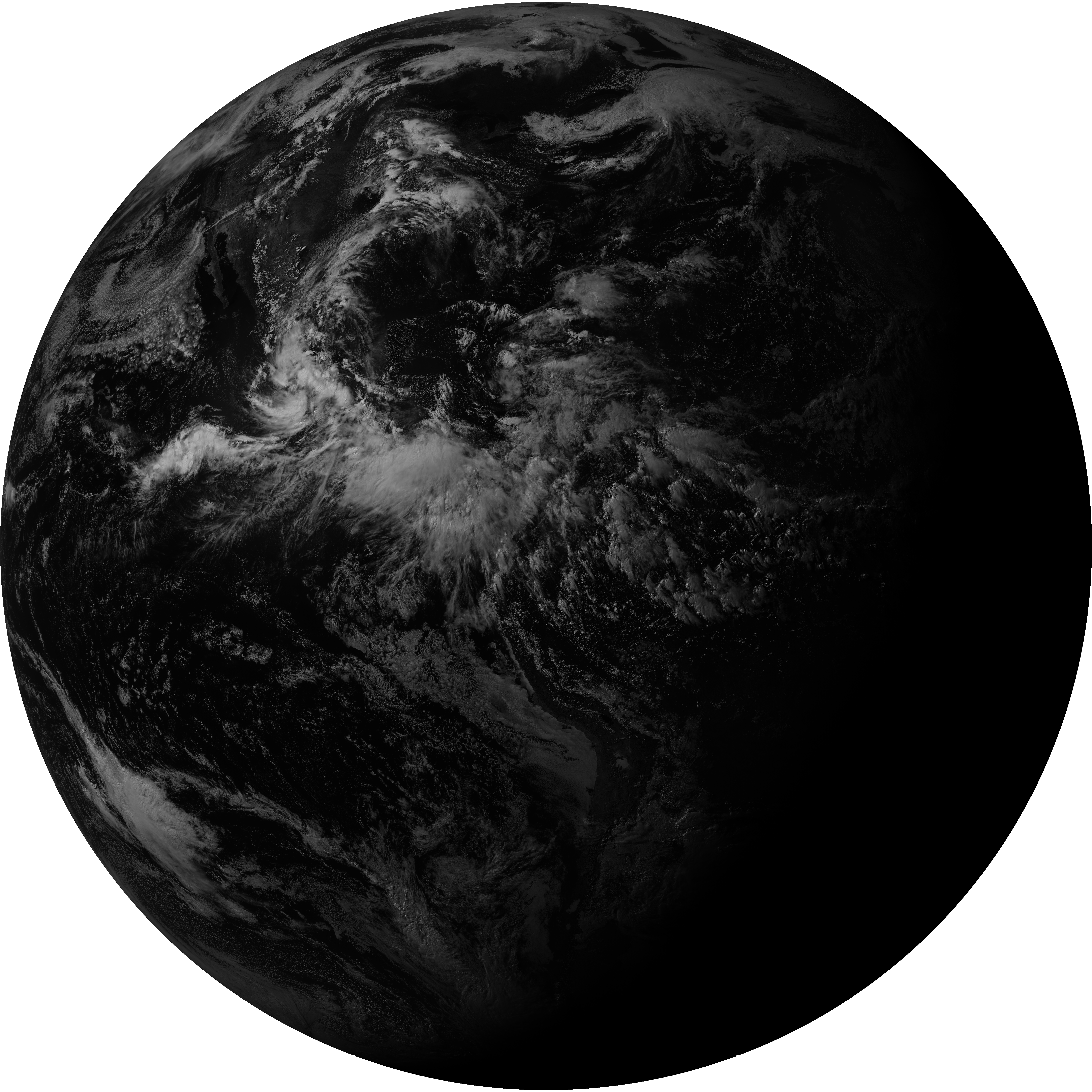
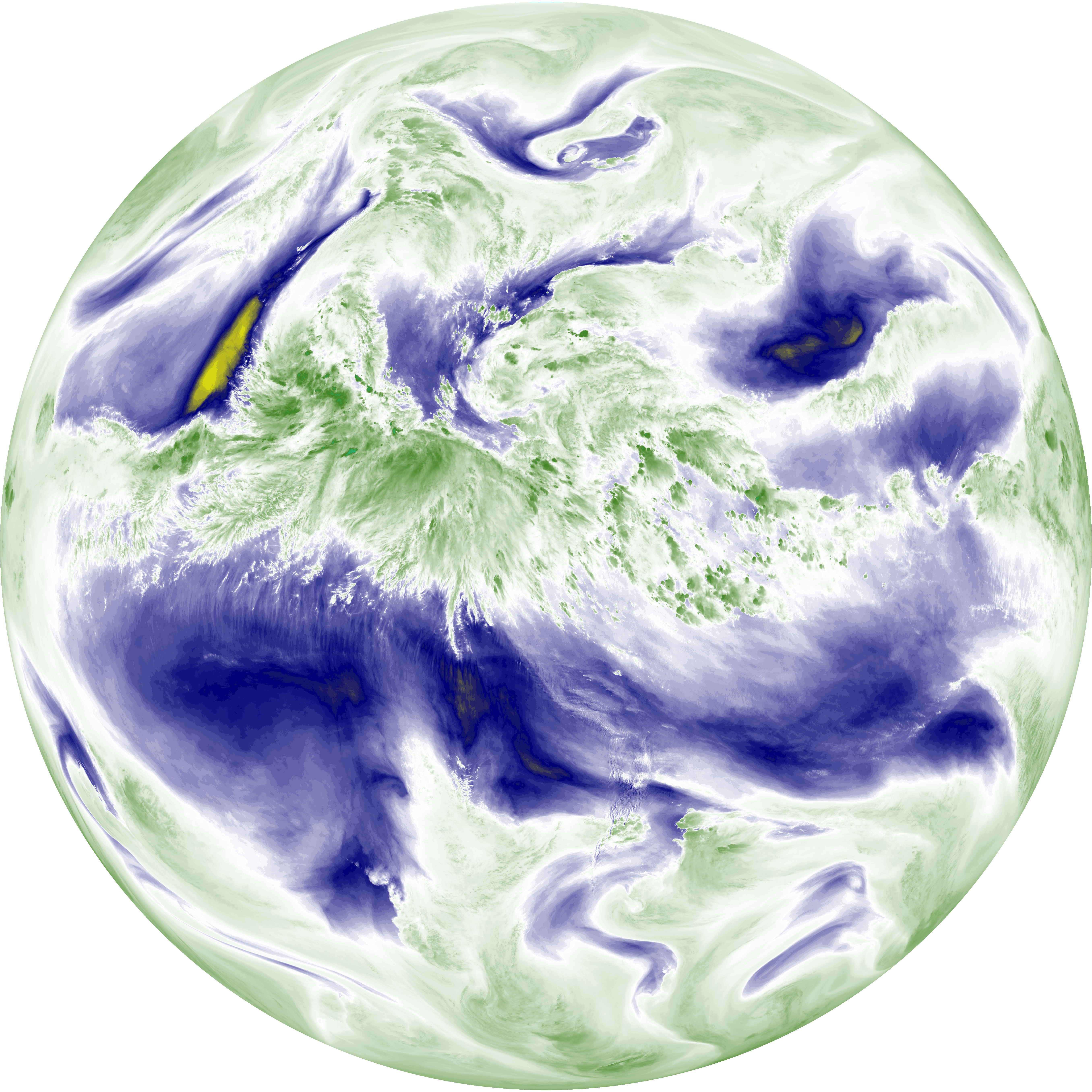
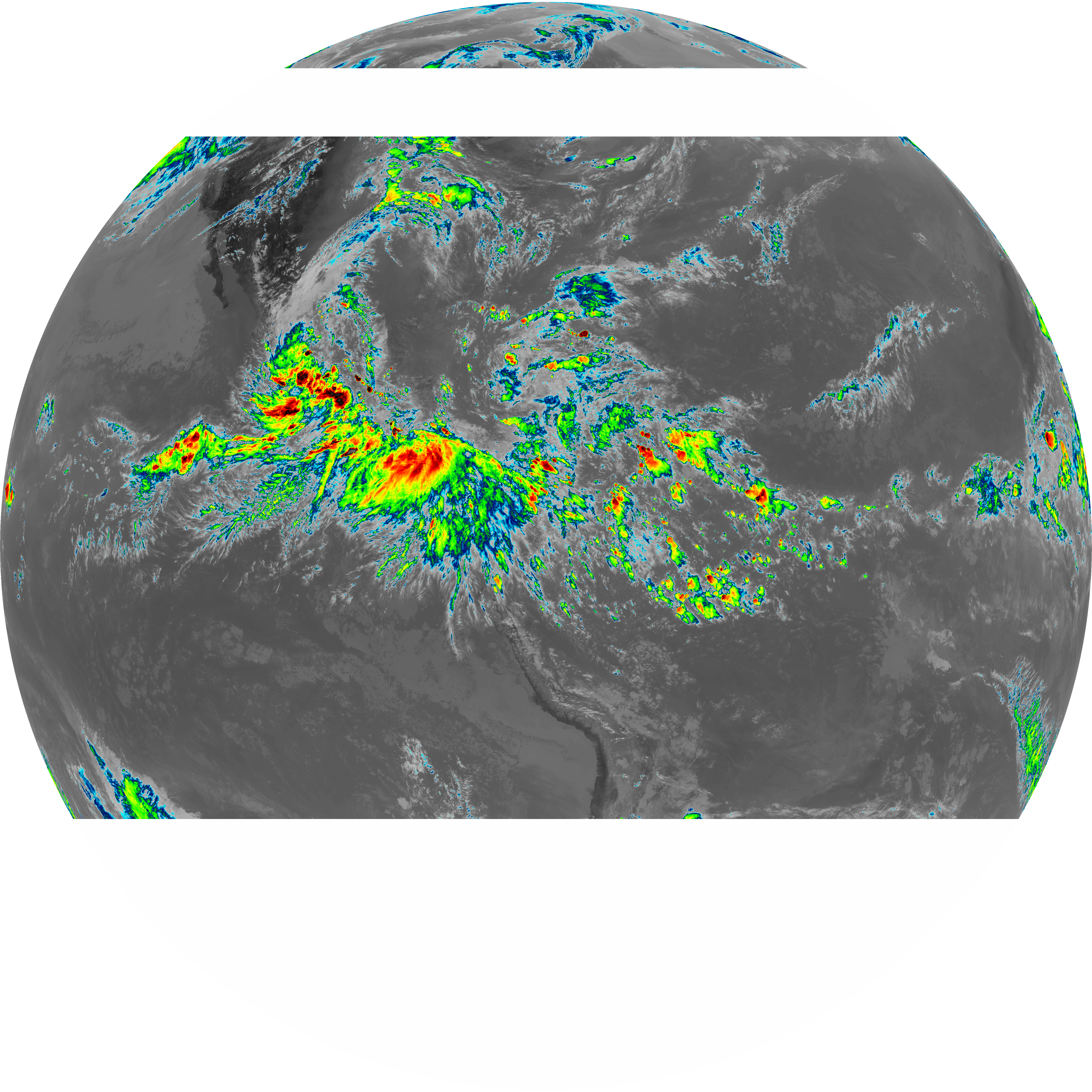
| abi_rgb_Upper-Level_Tropospheric_Water_Vapor.png | 8146393 | 2026-Jun-07 20:53 |
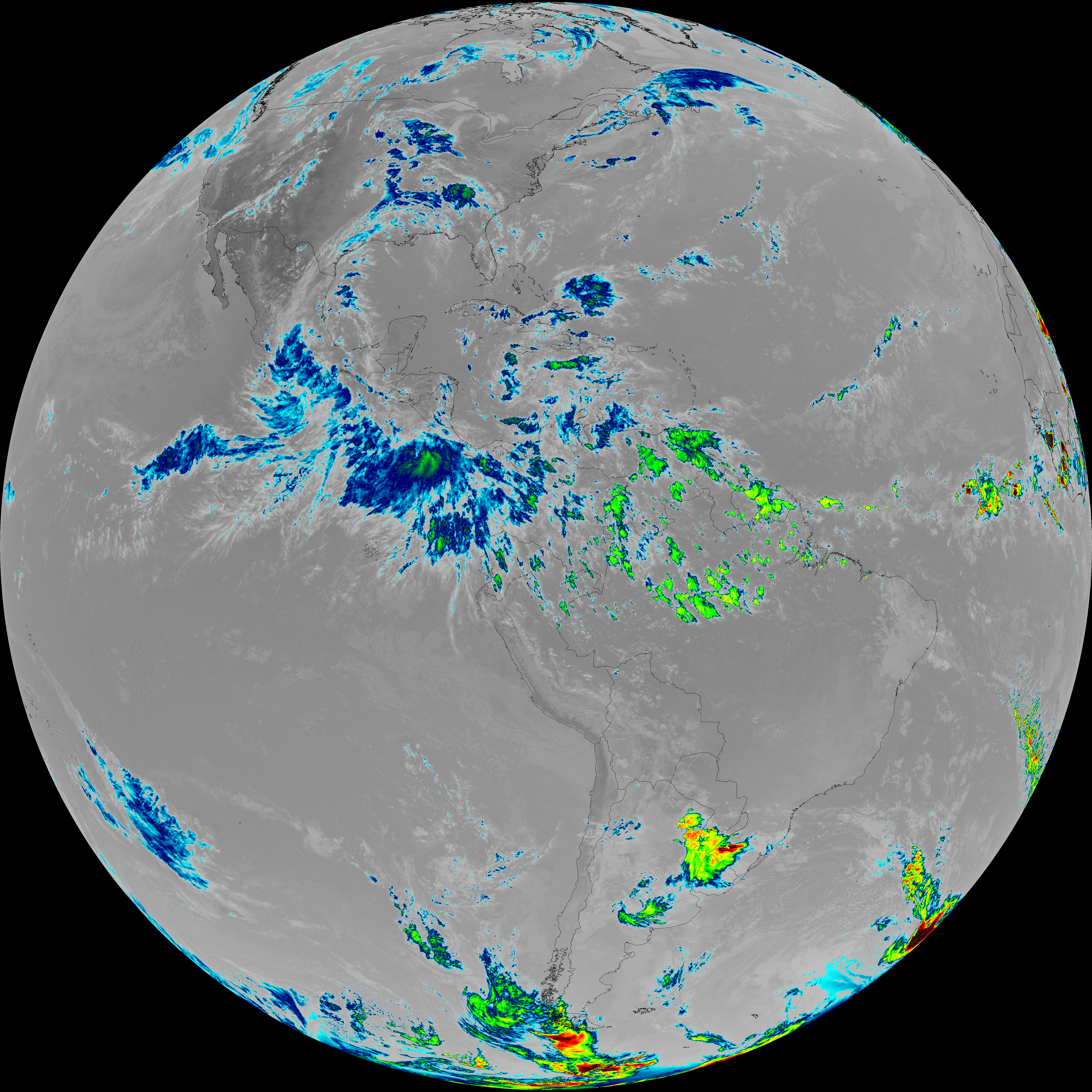
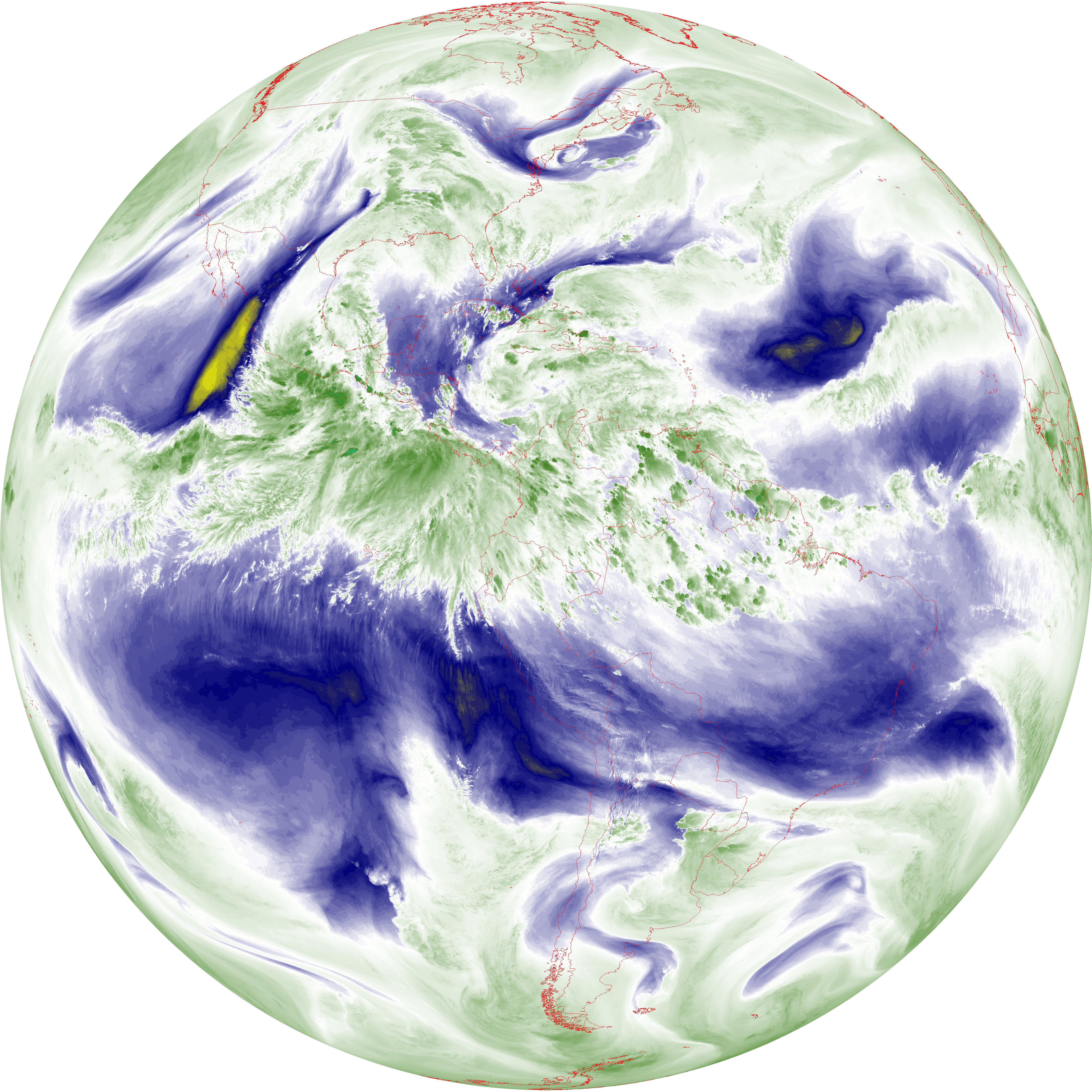
| abi_rgb_Upper-Level_Tropospheric_Water_Vapor_map.png | 8250354 | 2026-Jun-07 20:53 |
| G19_9_20260607T203021Z.png | 7011667 | 2026-Jun-07 20:55 |
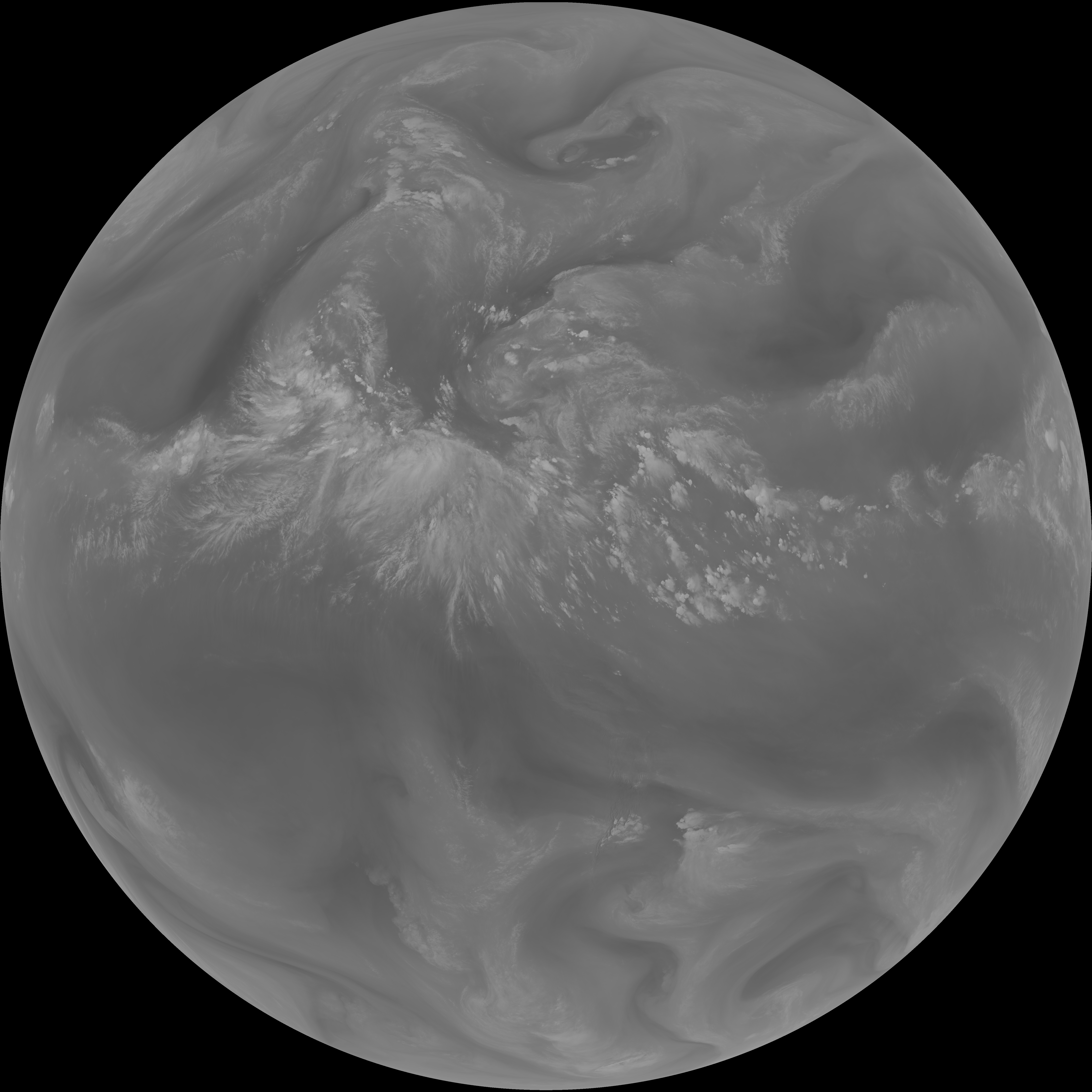
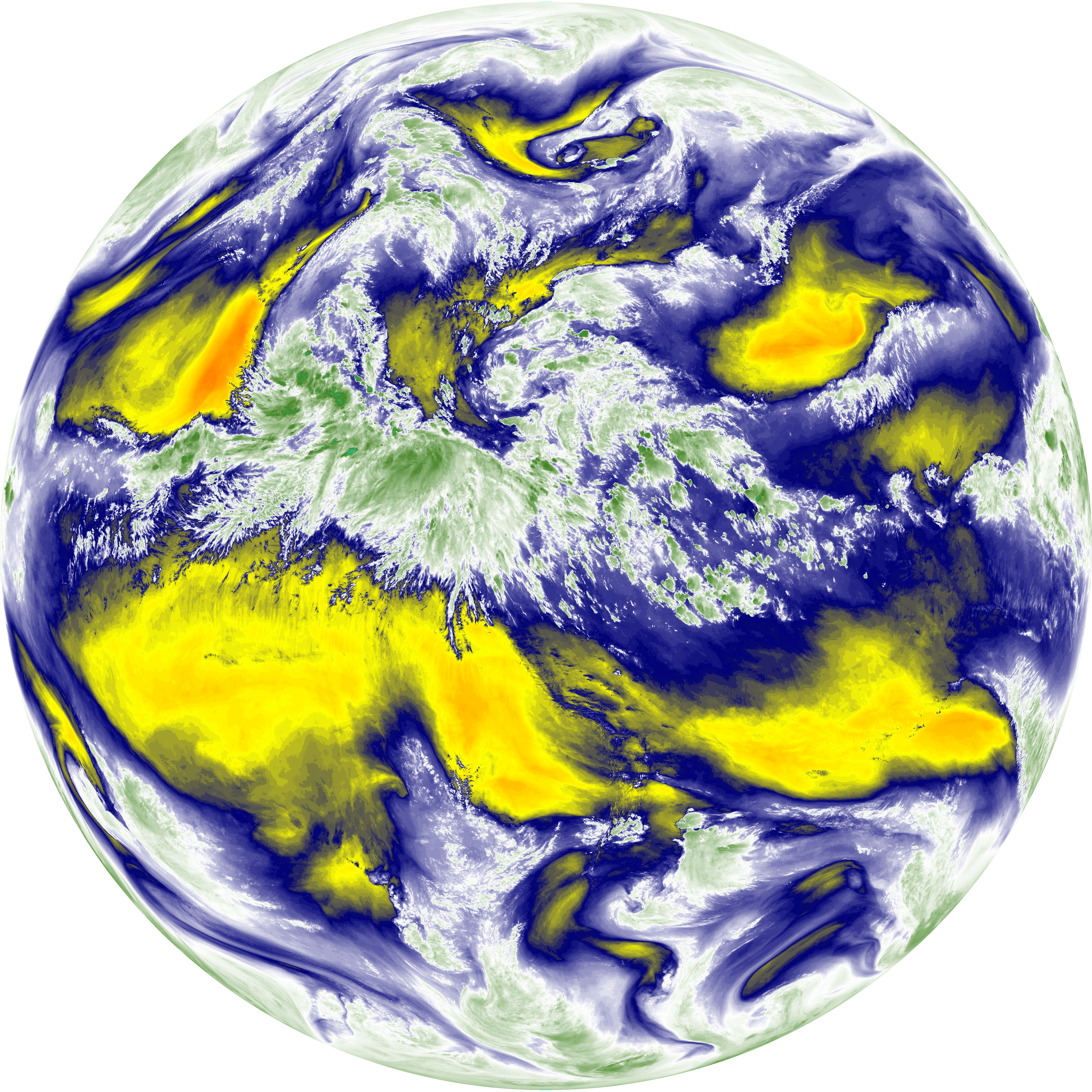
| abi_rgb_Mid-level_Tropospheric_Water_Vapor.png | 9409388 | 2026-Jun-07 20:55 |
| abi_rgb_Mid-level_Tropospheric_Water_Vapor_map.png | 9502225 | 2026-Jun-07 20:55 |
| G19_14_20260607T203021Z.png | 10868246 | 2026-Jun-07 20:58 |
| abi_rgb_Infrared_Longwave_Window_Band.png | 14572418 | 2026-Jun-07 20:58 |
| abi_rgb_Infrared_Longwave_Window_Band_map.png | 14604791 | 2026-Jun-07 20:58 |
| G19_15_20260607T203021Z.png | 7934327 | 2026-Jun-07 21:27 |
| abi_rgb_Dirty_Longwave_Window.png | 10724700 | 2026-Jun-07 21:28 |
| abi_rgb_Dirty_Longwave_Window_map.png | 10798498 | 2026-Jun-07 21:28 |
| abi_rgb_Dirty_Longwave_Window_-_CIRA.png | 9545378 | 2026-Jun-07 21:28 |
| abi_rgb_Dirty_Longwave_Window_-_CIRA_map.png | 9625394 | 2026-Jun-07 21:28 |