| Parent directory/ | - | - |
| G19_7_20260607T213021Z.png | 10472504 | 2026-Jun-07 21:43 |
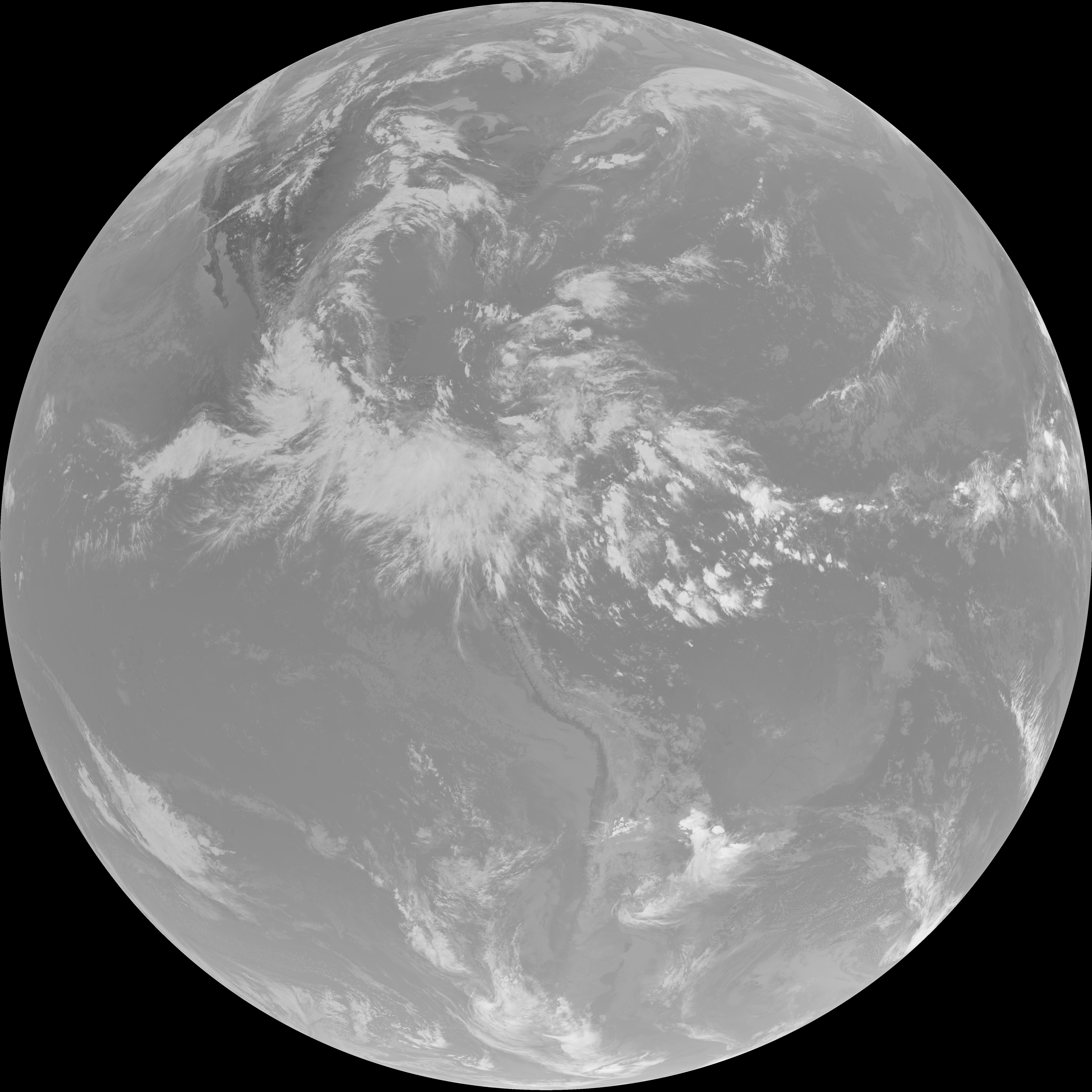
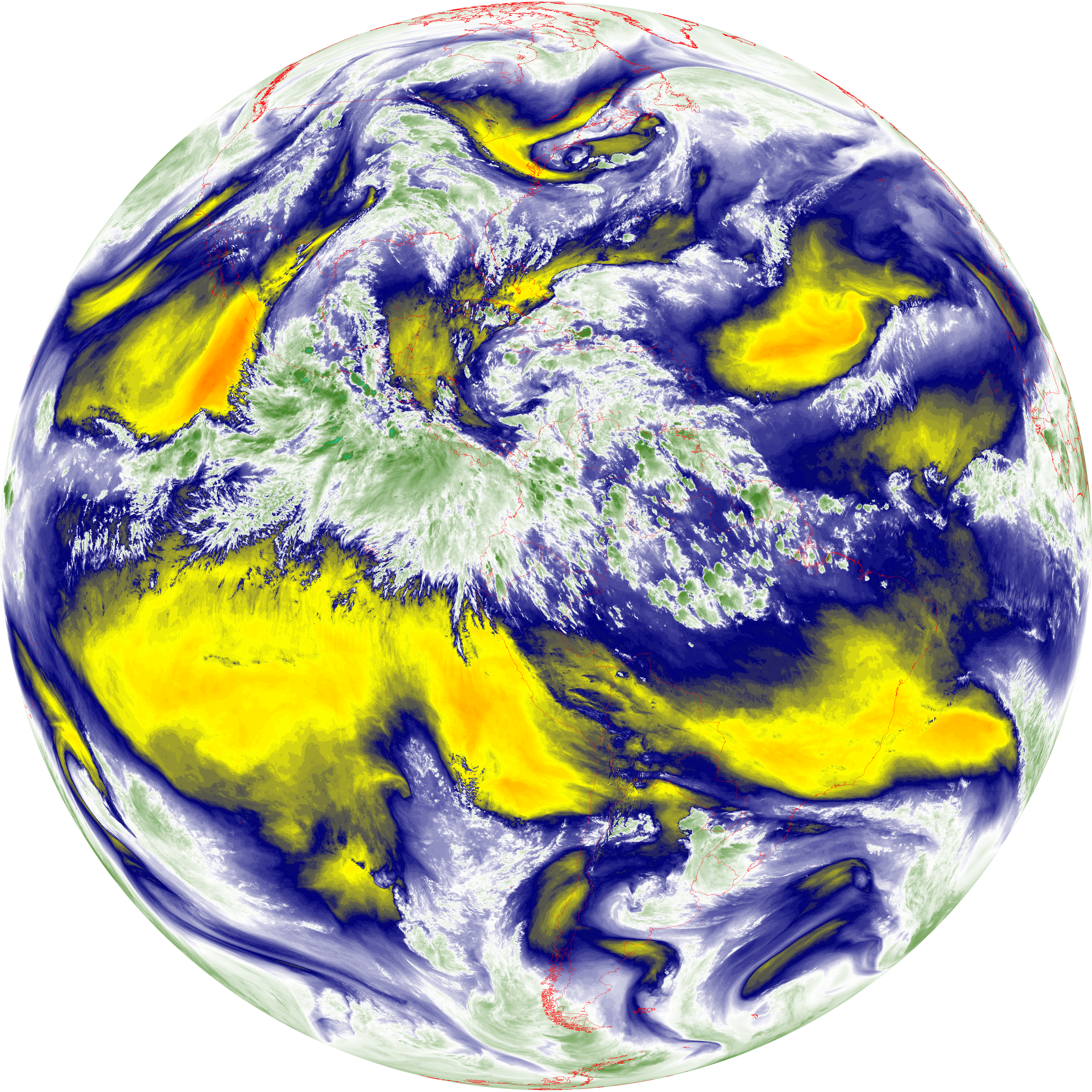
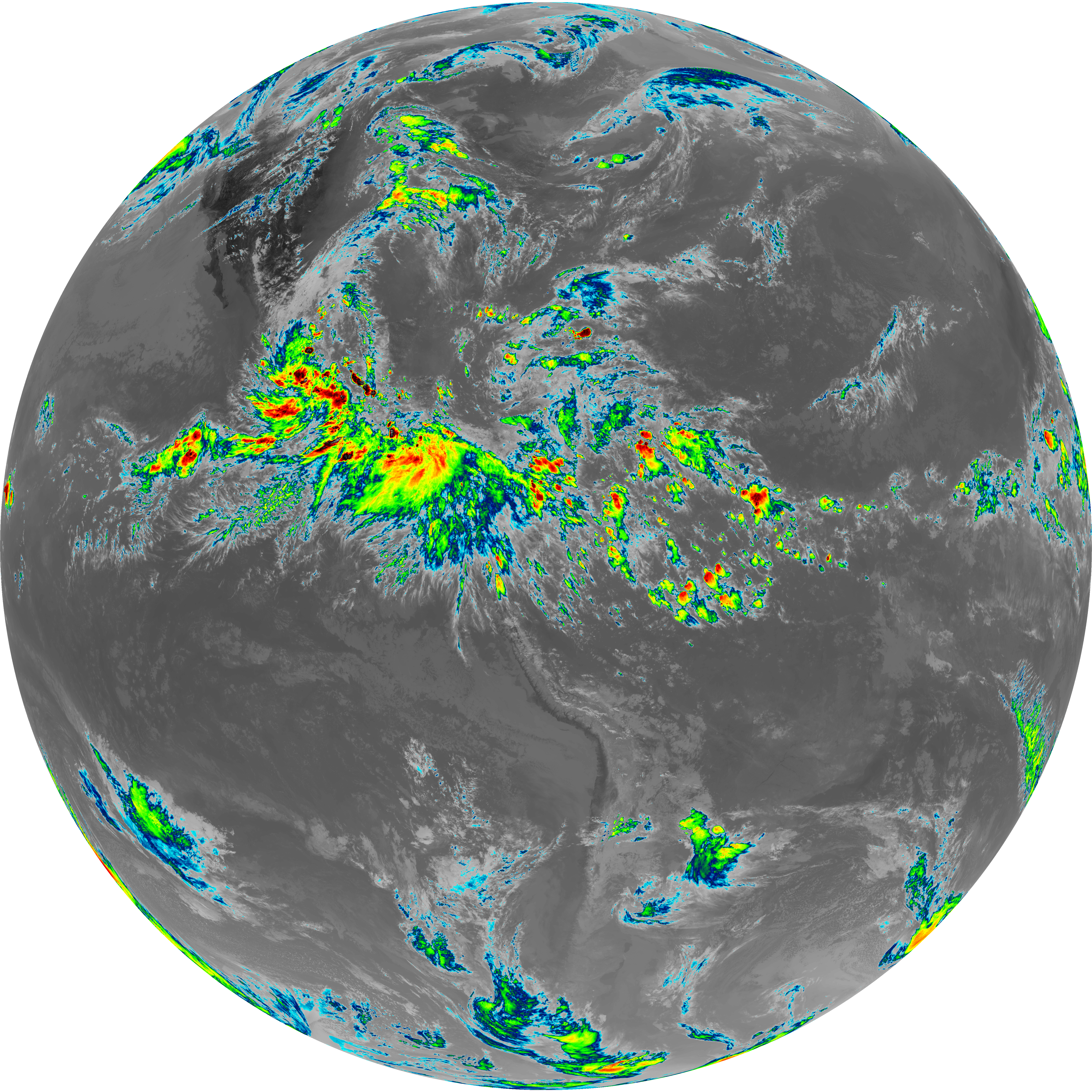
| abi_rgb_Shortwave_Window_Band.png | 14314002 | 2026-Jun-07 21:43 |
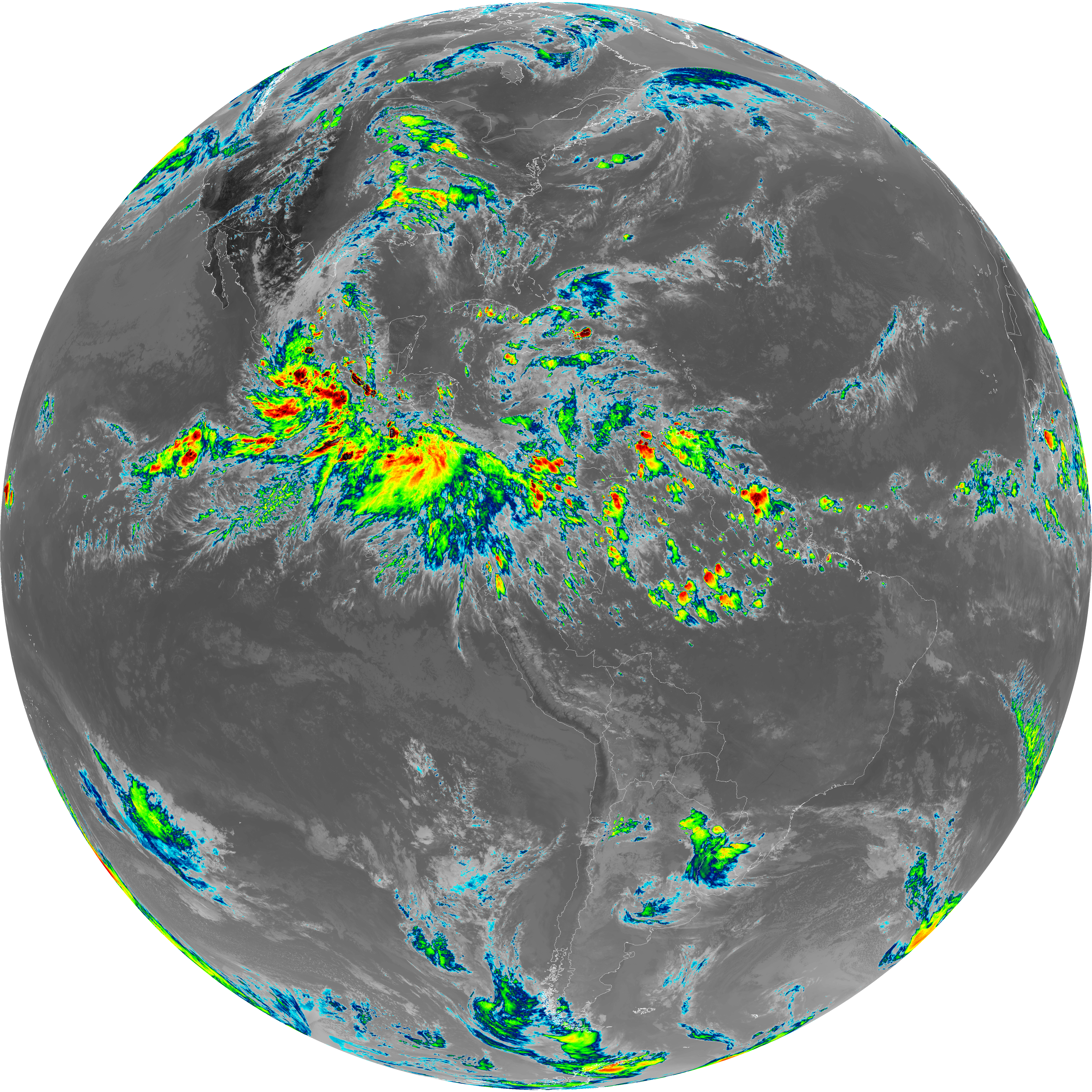
| abi_rgb_Shortwave_Window_Band_map.png | 14364315 | 2026-Jun-07 21:43 |
| G19_13_20260607T213021Z.png | 10604961 | 2026-Jun-07 21:46 |
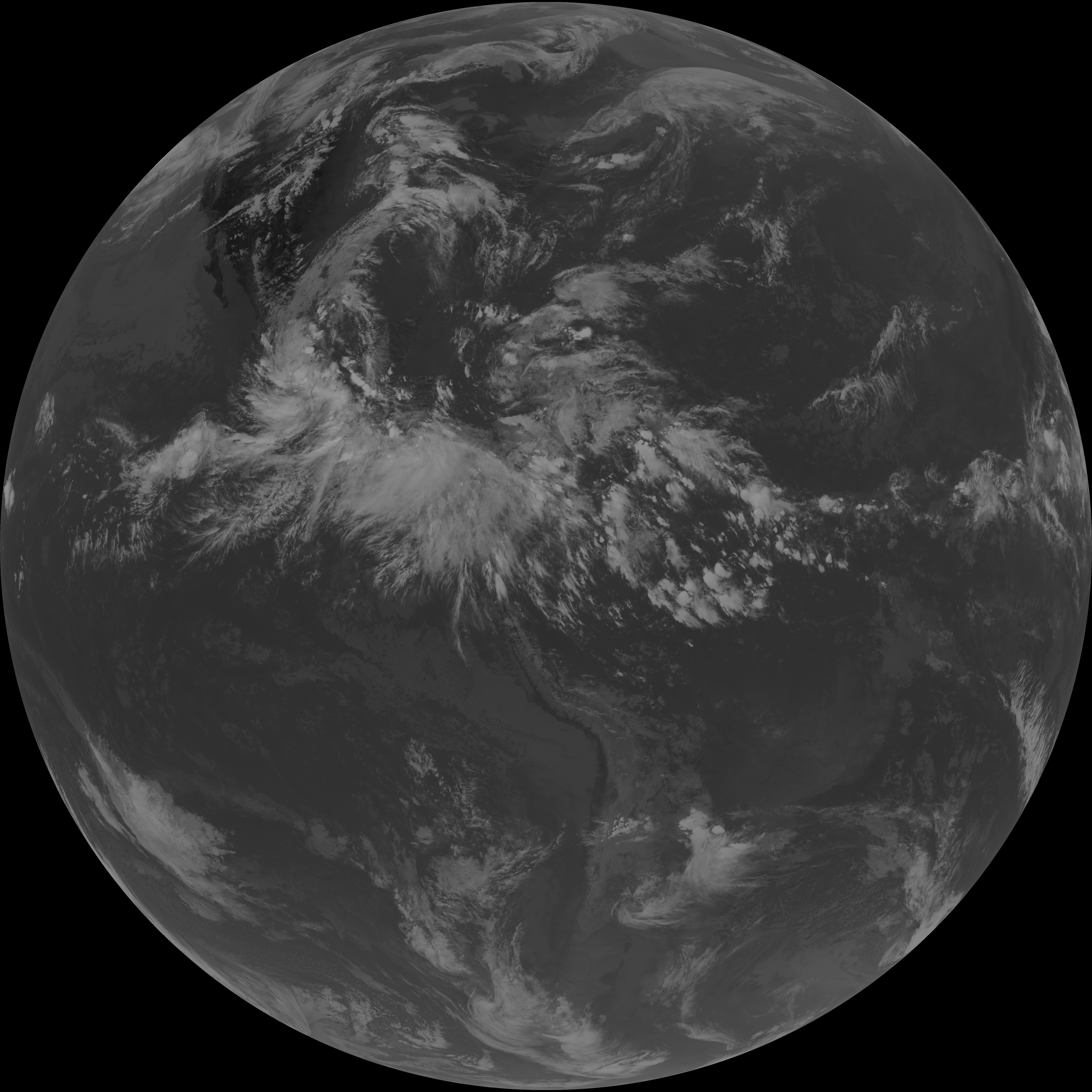
| abi_rgb_Clean_Longwave_IR_Window_Band.png | 14243067 | 2026-Jun-07 21:46 |
| abi_rgb_Clean_Longwave_IR_Window_Band_map.png | 14278326 | 2026-Jun-07 21:46 |
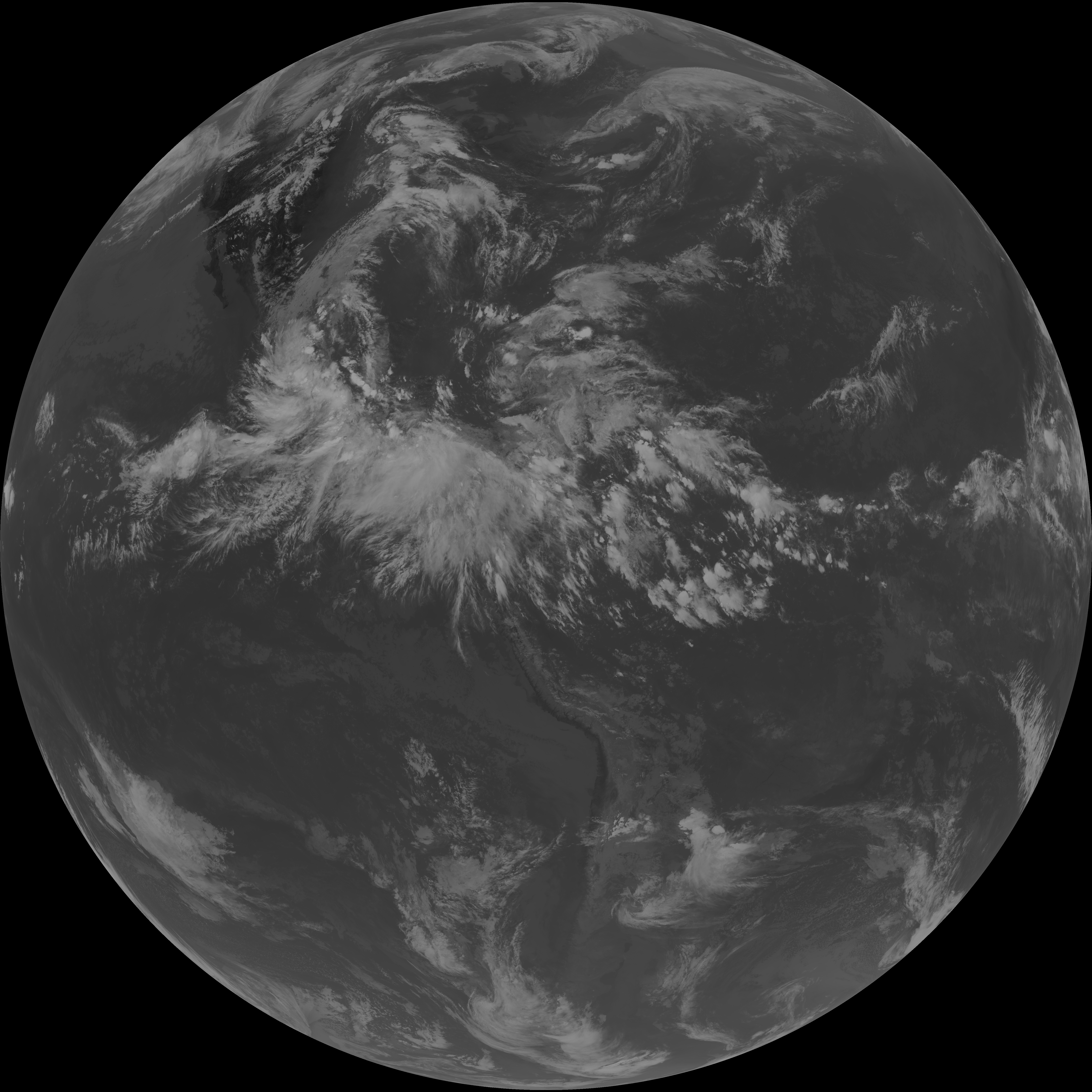
| G19_2_20260607T213021Z.png | 10229327 | 2026-Jun-07 21:49 |
| G19_8_20260607T213021Z.png | 6056173 | 2026-Jun-07 21:51 |
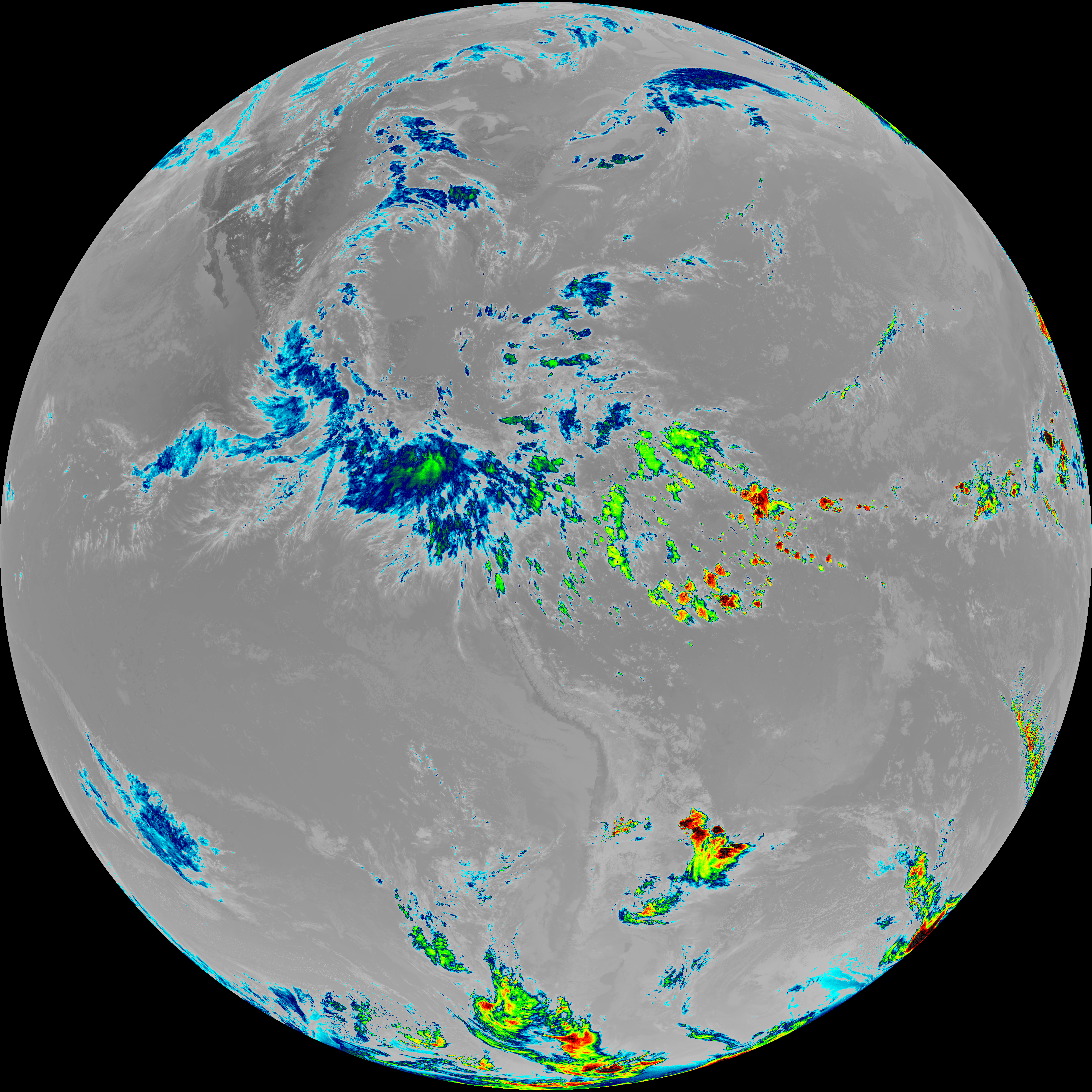
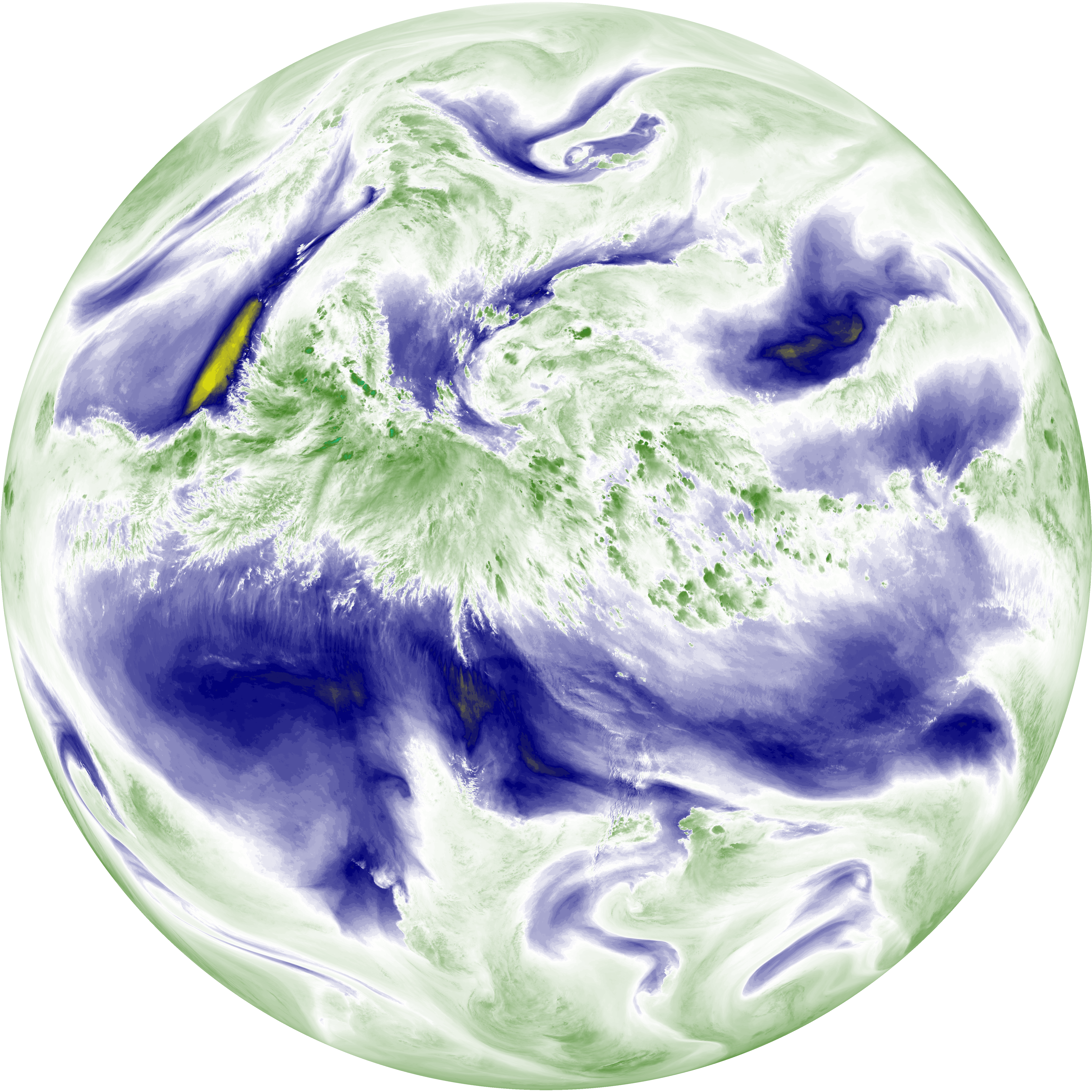
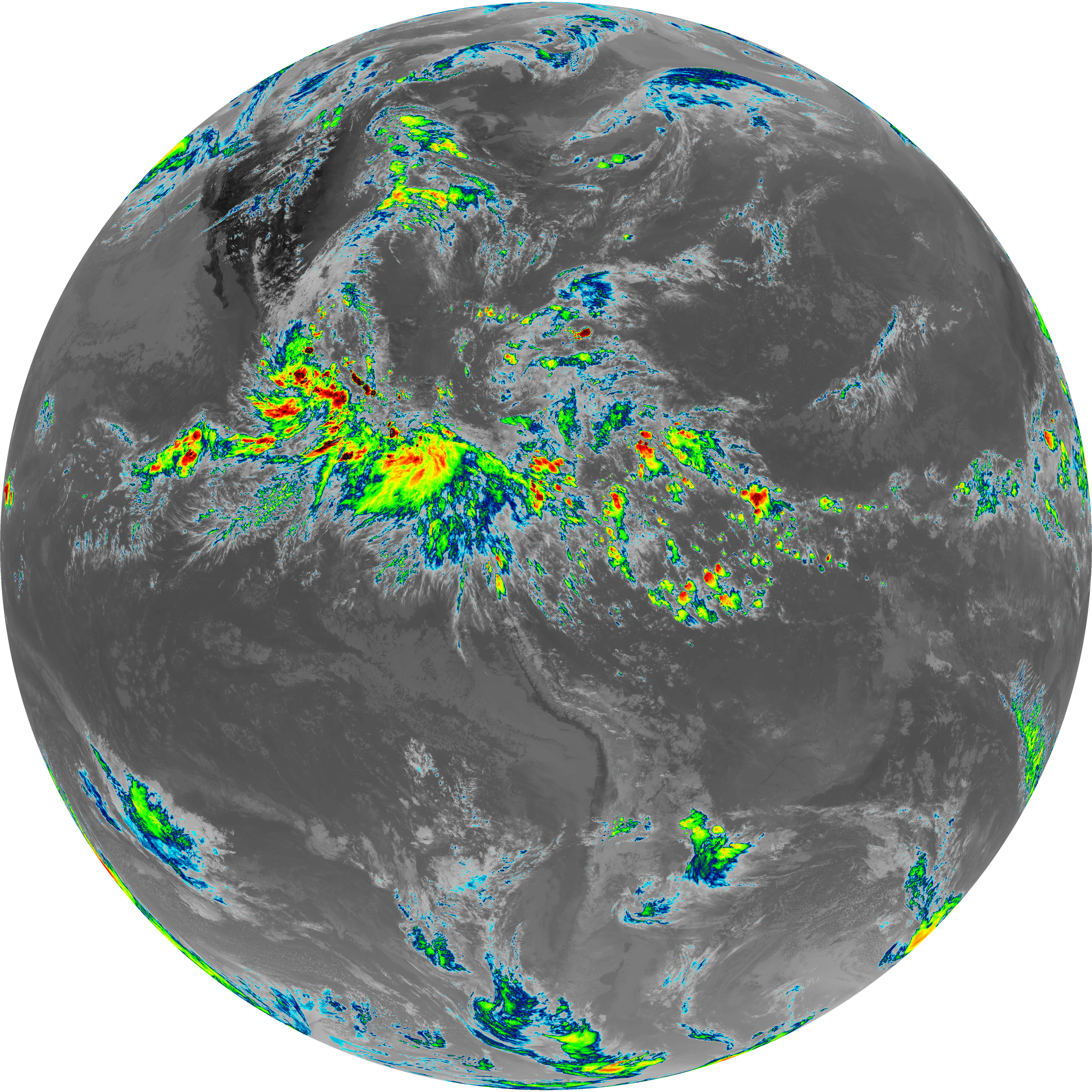
| abi_rgb_Upper-Level_Tropospheric_Water_Vapor.png | 8109539 | 2026-Jun-07 21:51 |
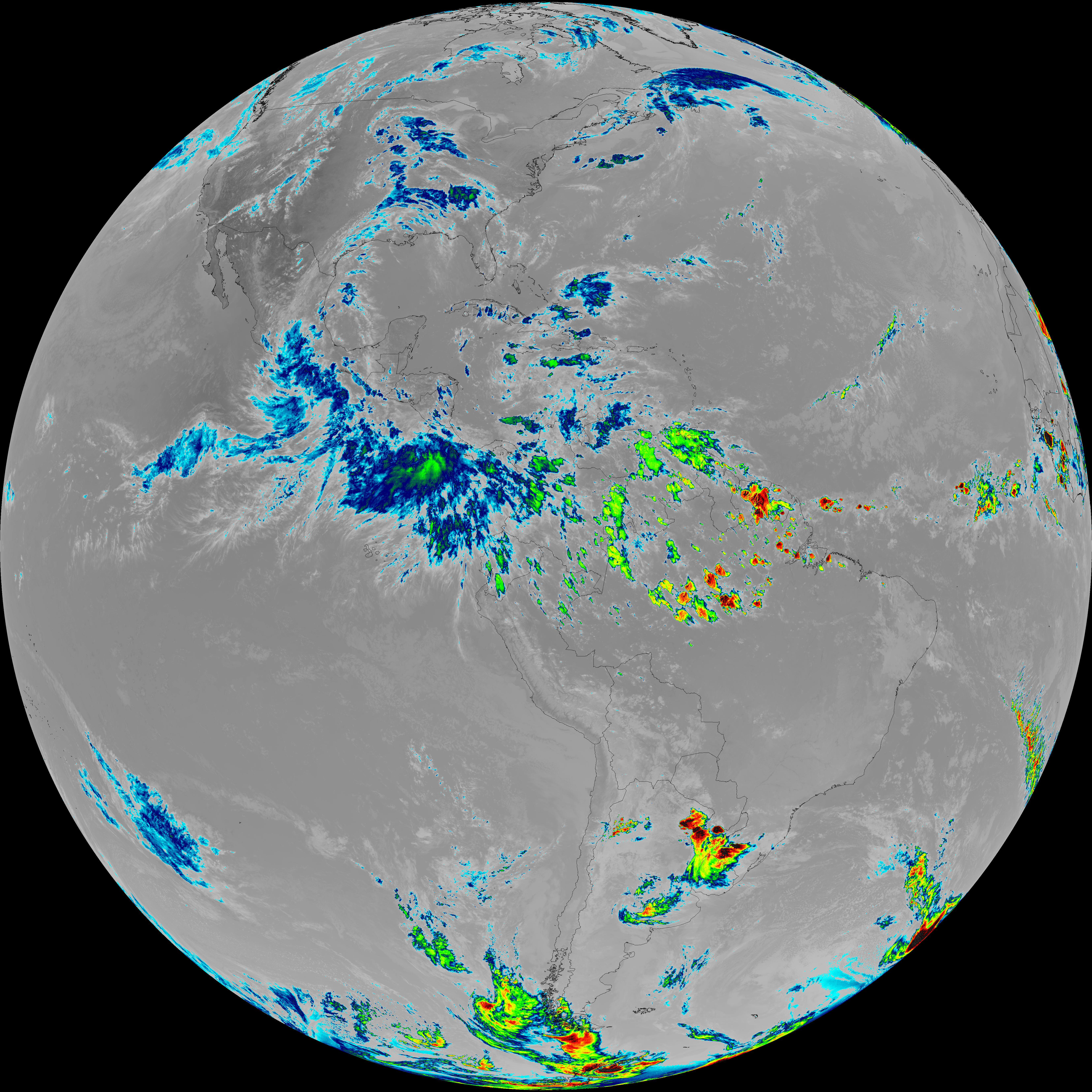
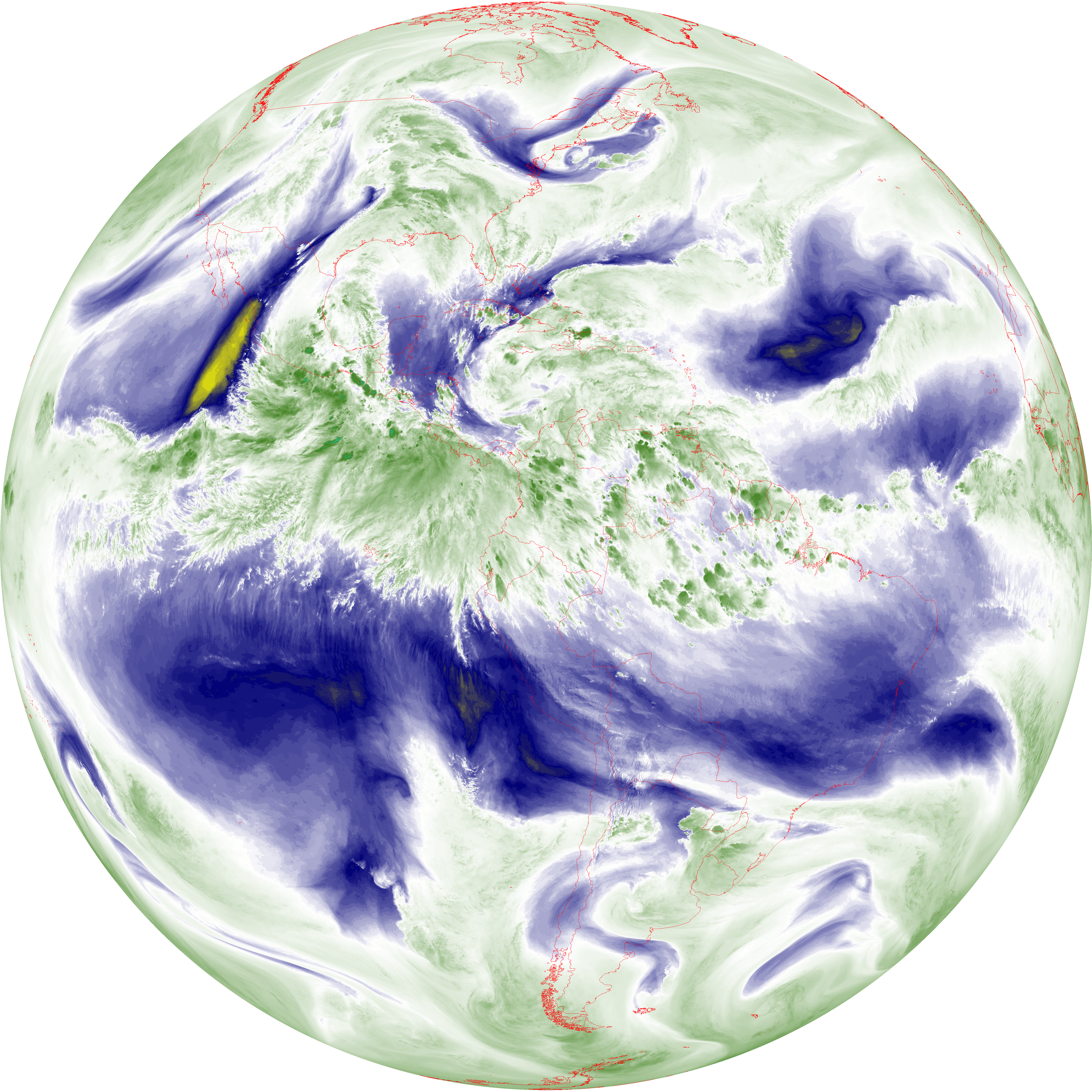
| abi_rgb_Upper-Level_Tropospheric_Water_Vapor_map.png | 8213924 | 2026-Jun-07 21:51 |
| G19_9_20260607T213021Z.png | 6984971 | 2026-Jun-07 21:53 |
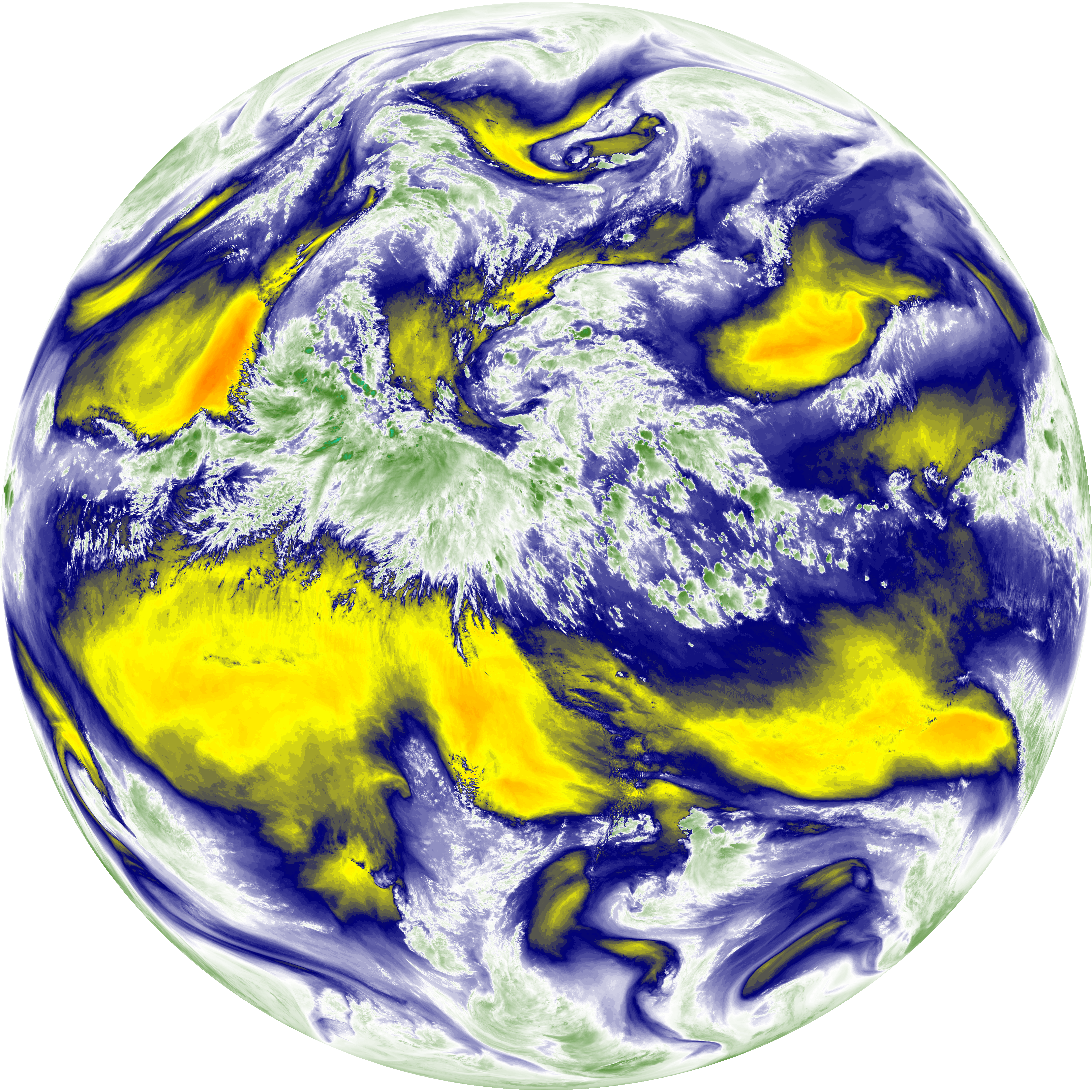
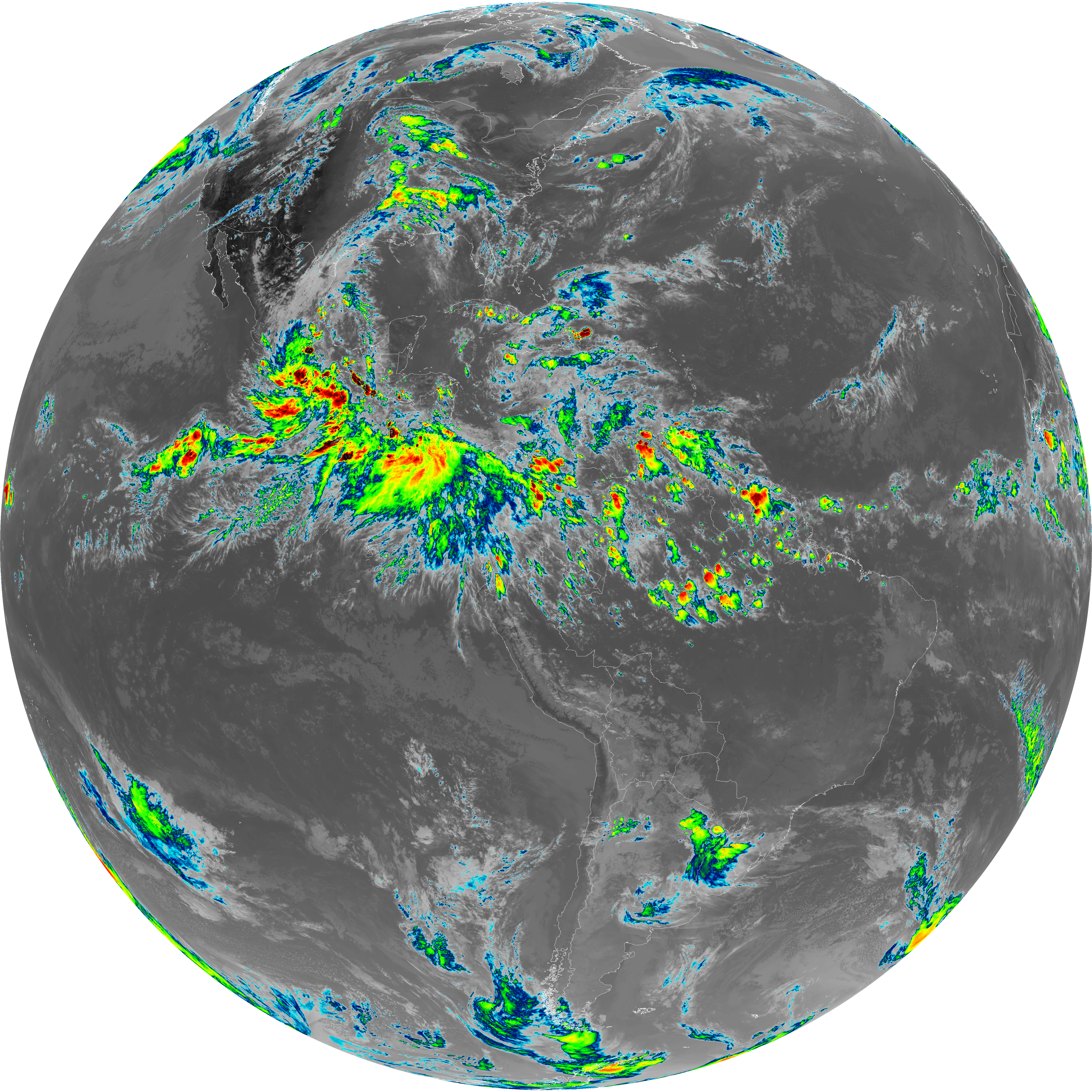
| abi_rgb_Mid-level_Tropospheric_Water_Vapor.png | 9376192 | 2026-Jun-07 21:54 |
| abi_rgb_Mid-level_Tropospheric_Water_Vapor_map.png | 9469783 | 2026-Jun-07 21:54 |
| G19_14_20260607T213021Z.png | 10760011 | 2026-Jun-07 21:57 |
| abi_rgb_Infrared_Longwave_Window_Band.png | 14427248 | 2026-Jun-07 21:57 |
| abi_rgb_Infrared_Longwave_Window_Band_map.png | 14462014 | 2026-Jun-07 21:57 |
| G19_15_20260607T213021Z.png | 10498949 | 2026-Jun-07 22:00 |
| abi_rgb_Dirty_Longwave_Window.png | 14122533 | 2026-Jun-07 22:00 |
| abi_rgb_Dirty_Longwave_Window_map.png | 14160667 | 2026-Jun-07 22:00 |
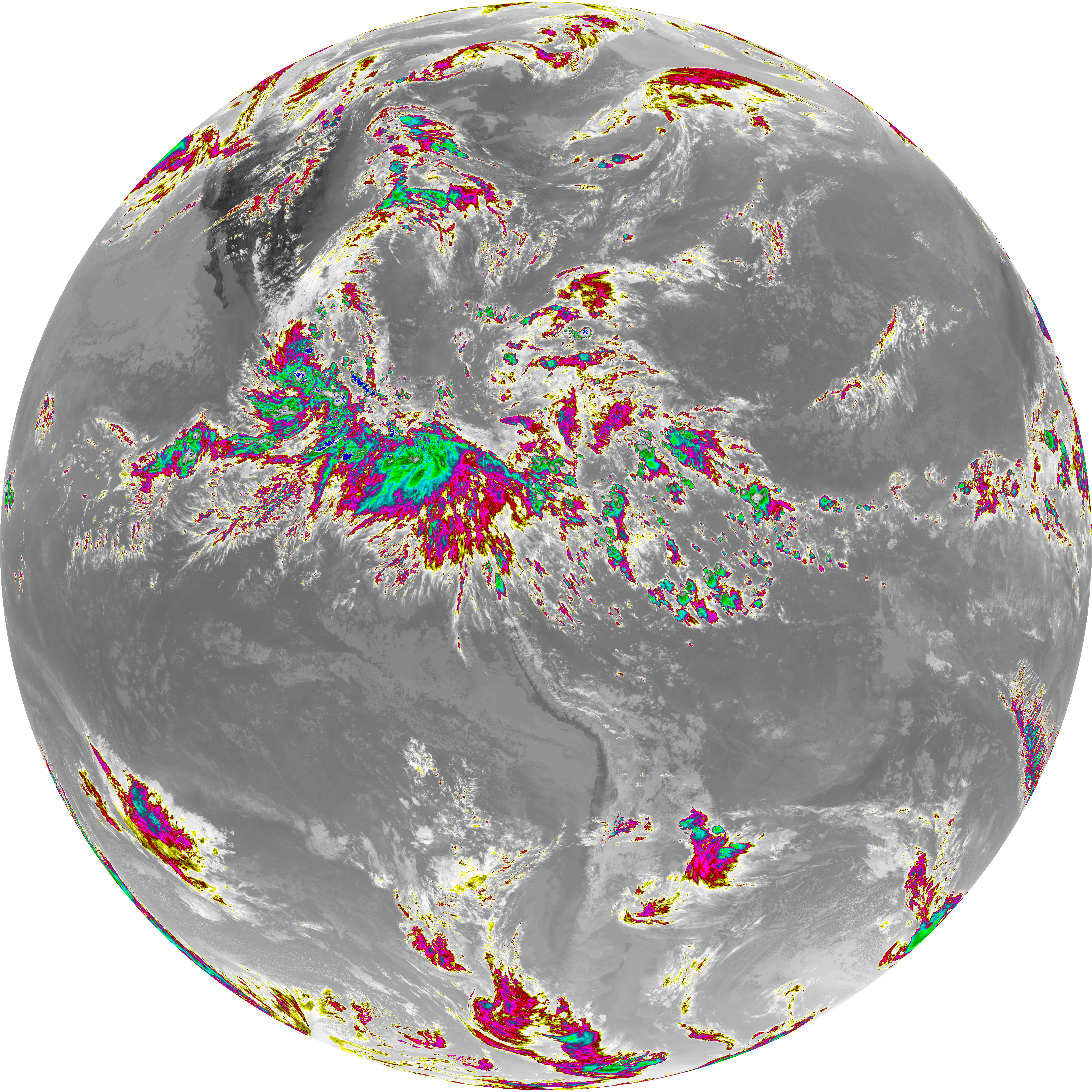
| abi_rgb_Dirty_Longwave_Window_-_CIRA.png | 12503682 | 2026-Jun-07 22:00 |
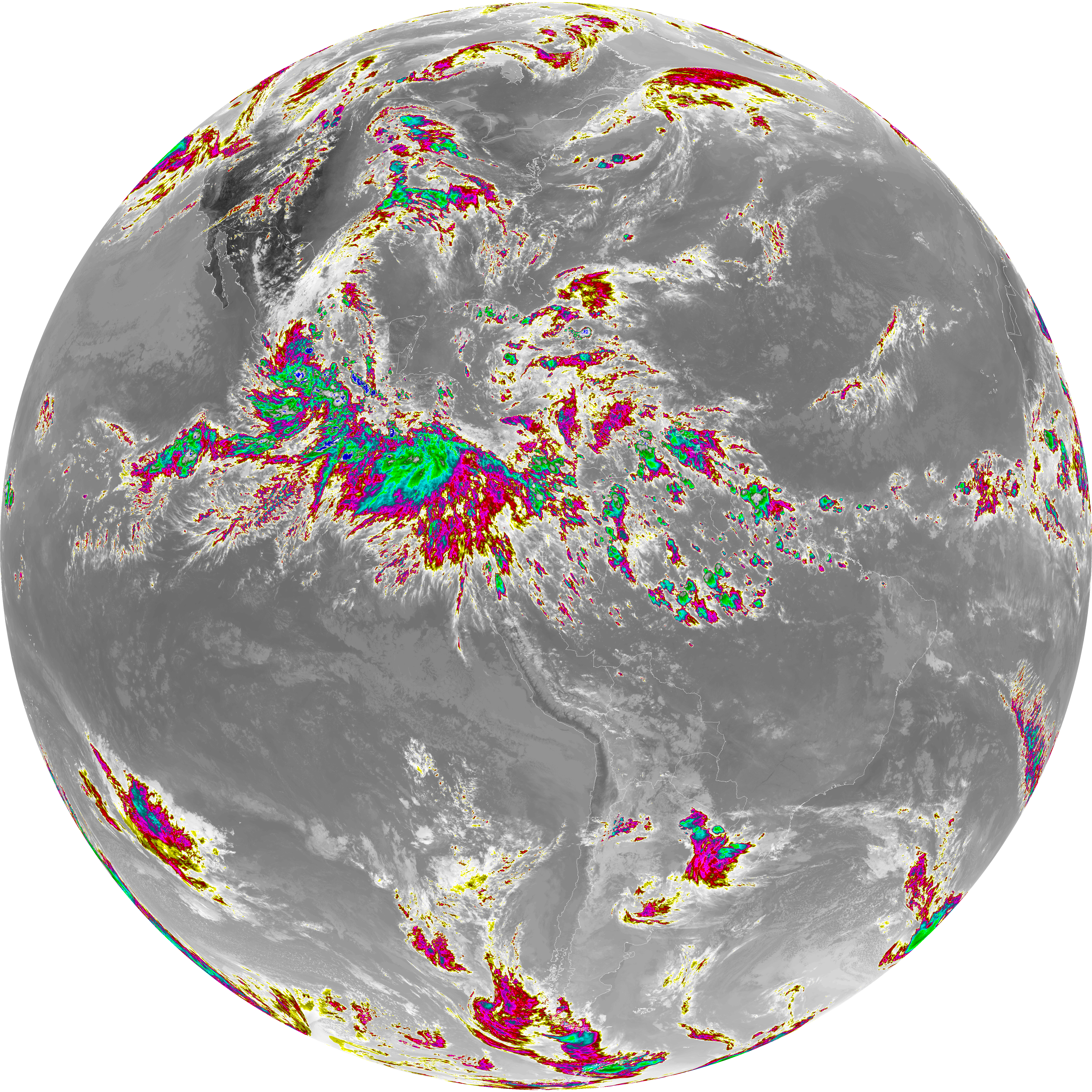
| abi_rgb_Dirty_Longwave_Window_-_CIRA_map.png | 12554105 | 2026-Jun-07 22:00 |