| Parent directory/ | - | - |
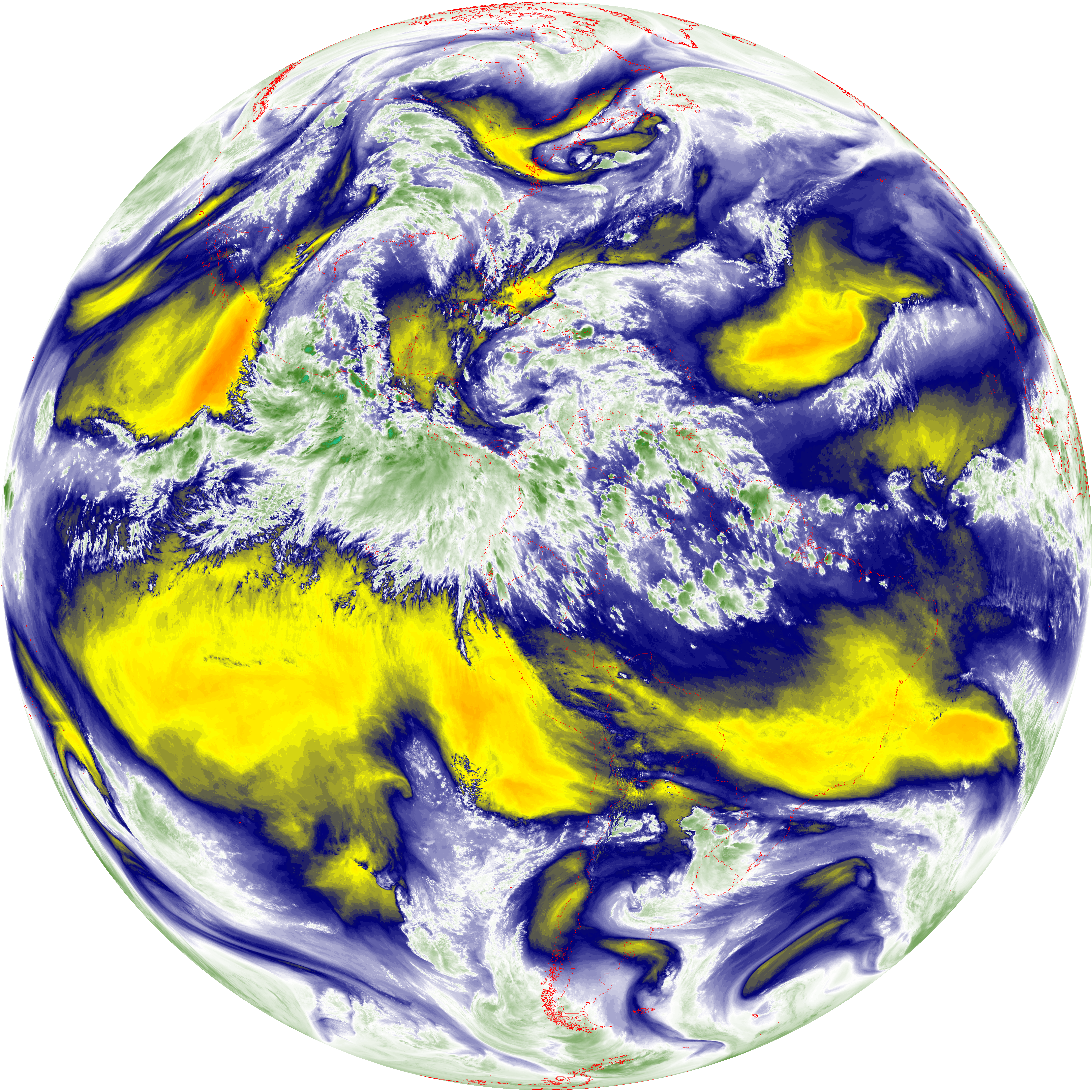
| abi_rgb_Dirty_Longwave_Window_-_CIRA_map.png | 12485301 | 2026-Jun-07 22:30 |
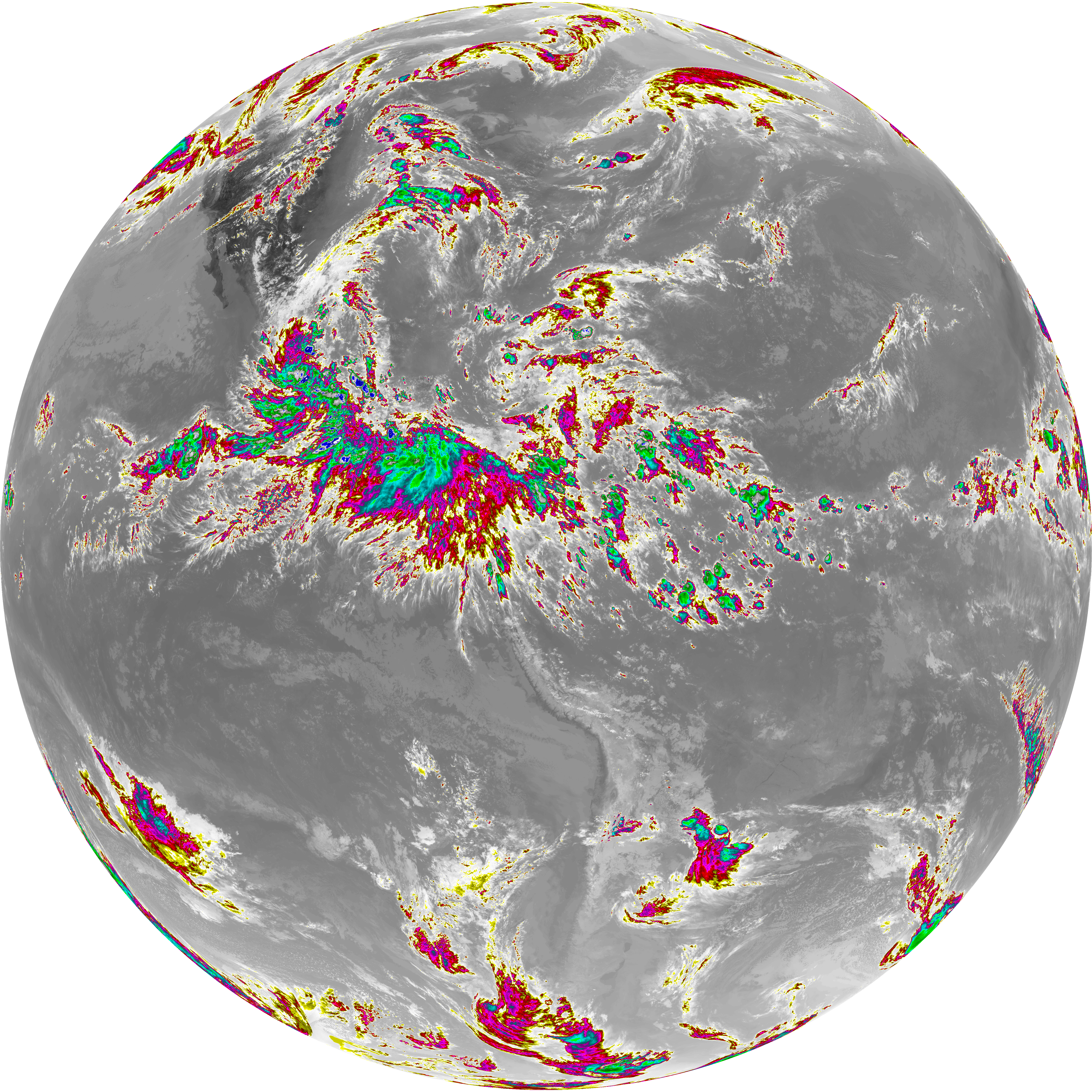
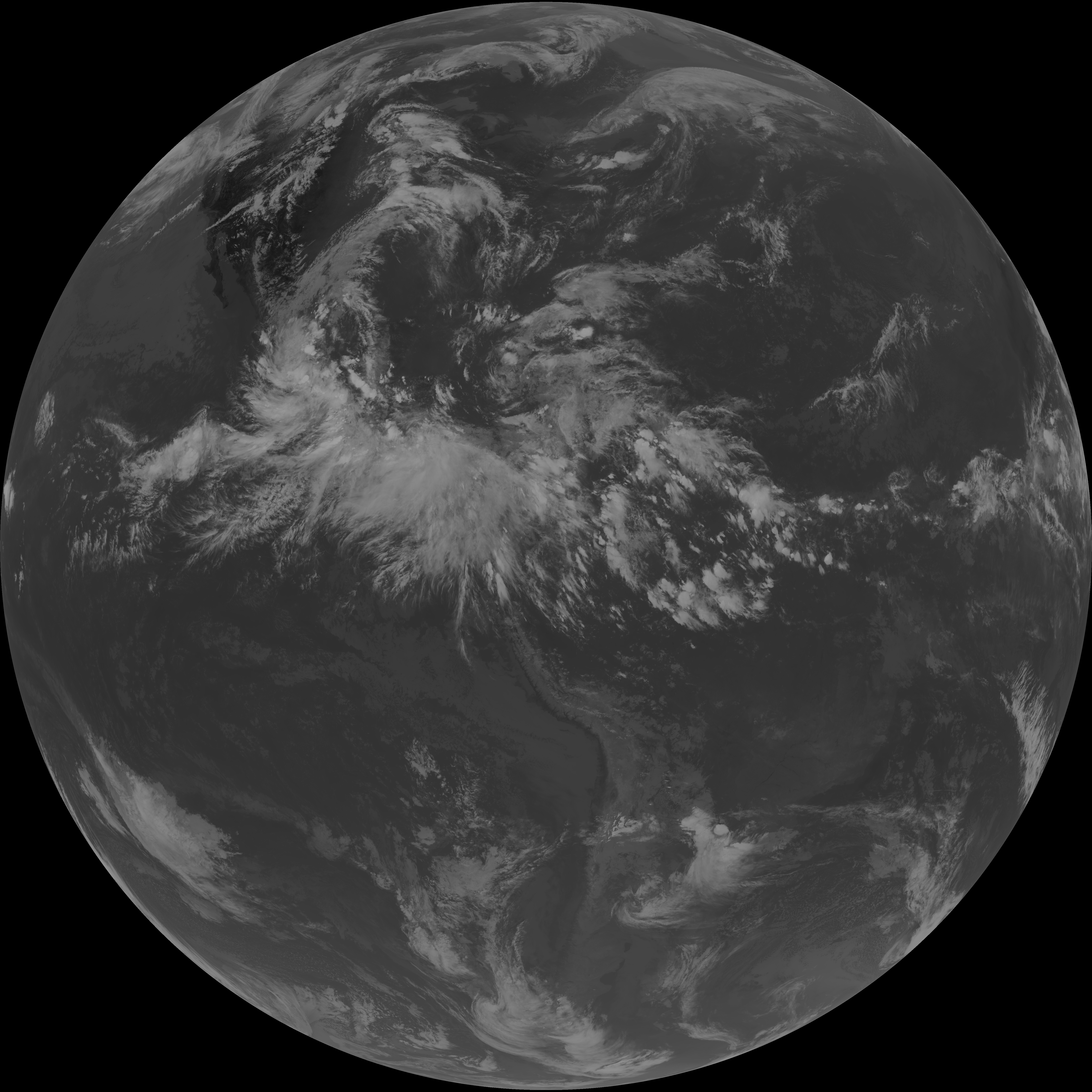
| abi_rgb_Dirty_Longwave_Window_-_CIRA.png | 12433328 | 2026-Jun-07 22:30 |
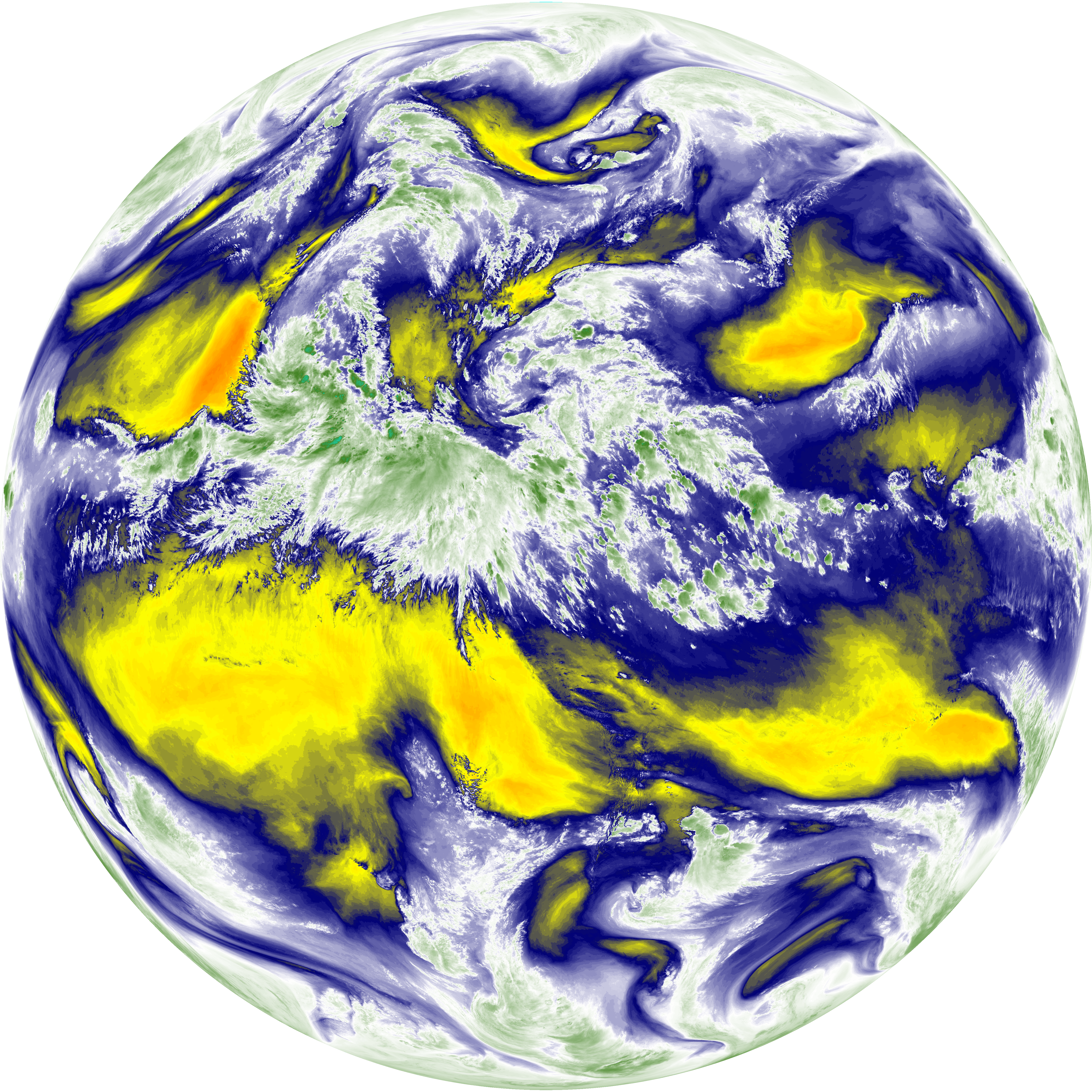
| abi_rgb_Dirty_Longwave_Window_map.png | 14096635 | 2026-Jun-07 22:30 |
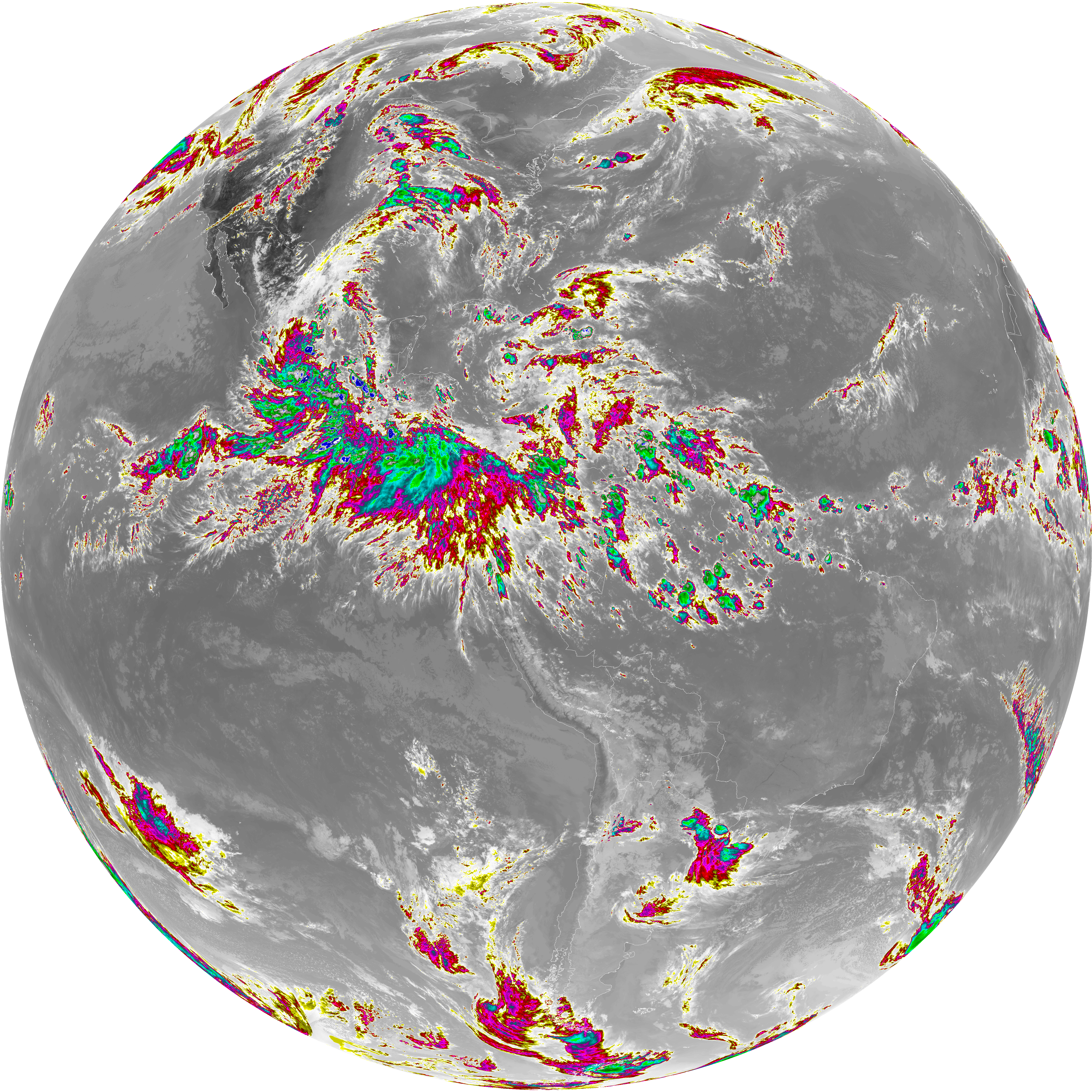
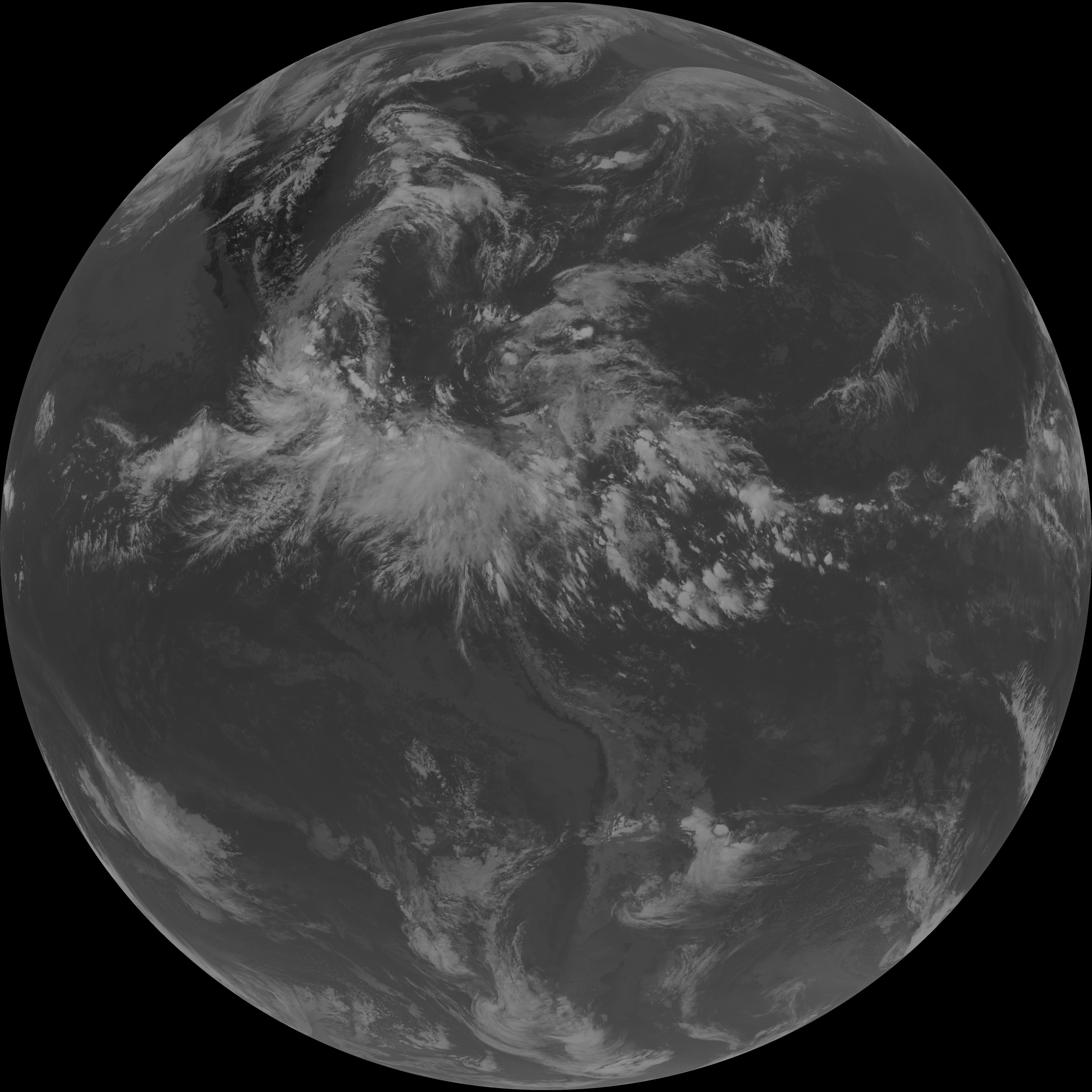
| abi_rgb_Dirty_Longwave_Window.png | 14057365 | 2026-Jun-07 22:30 |
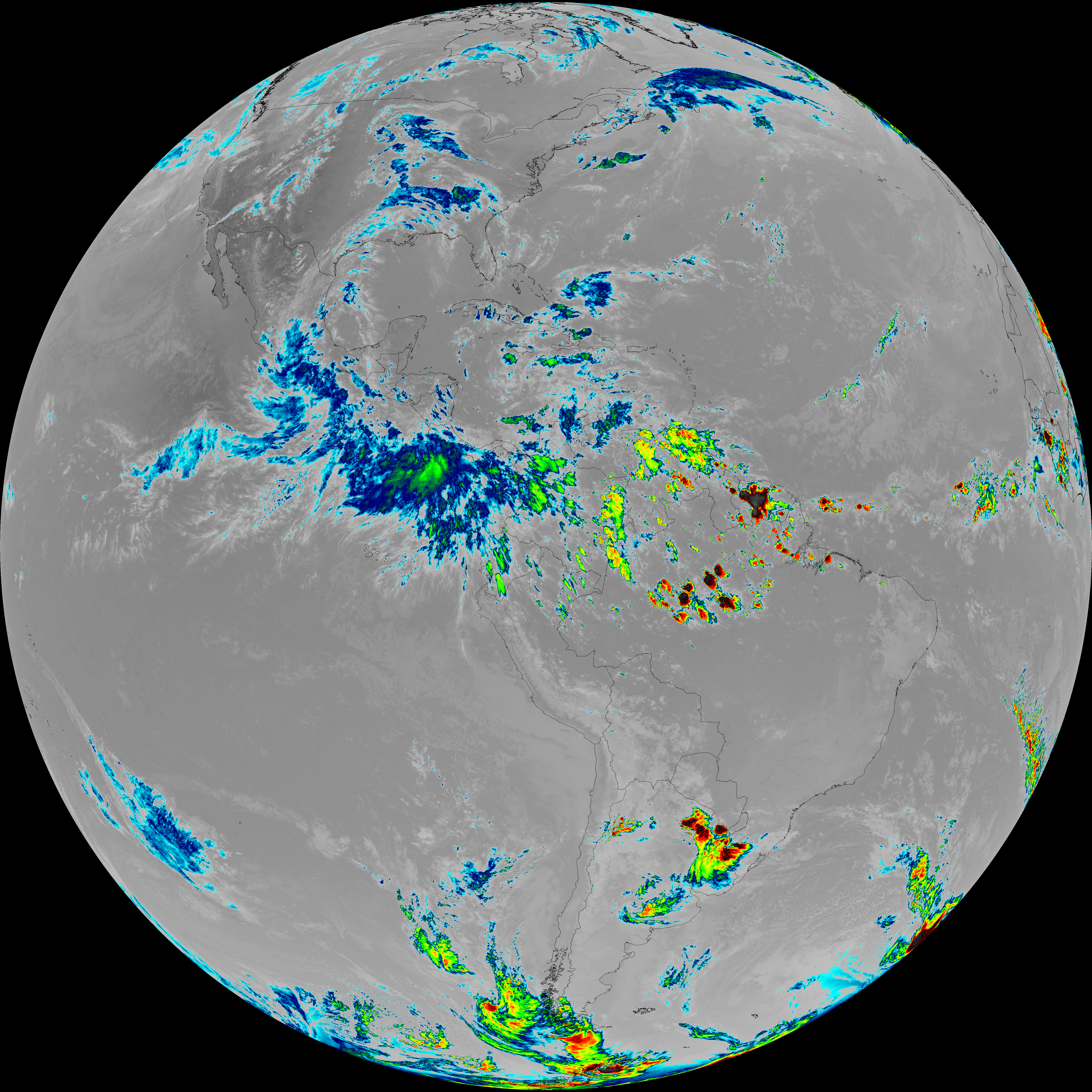
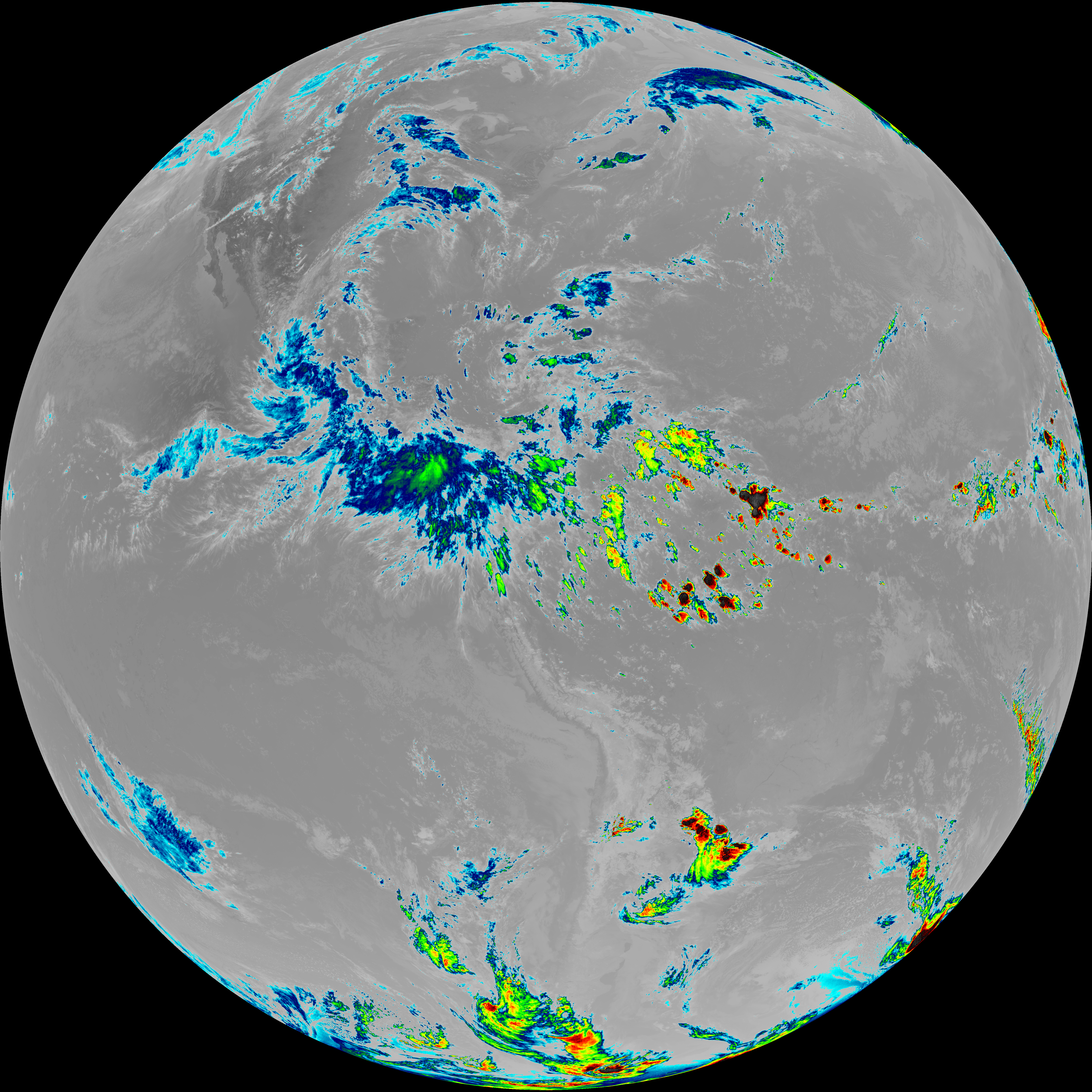
| G19_15_20260607T220021Z.png | 10449581 | 2026-Jun-07 22:30 |
| abi_rgb_Infrared_Longwave_Window_Band_map.png | 14391232 | 2026-Jun-07 22:27 |
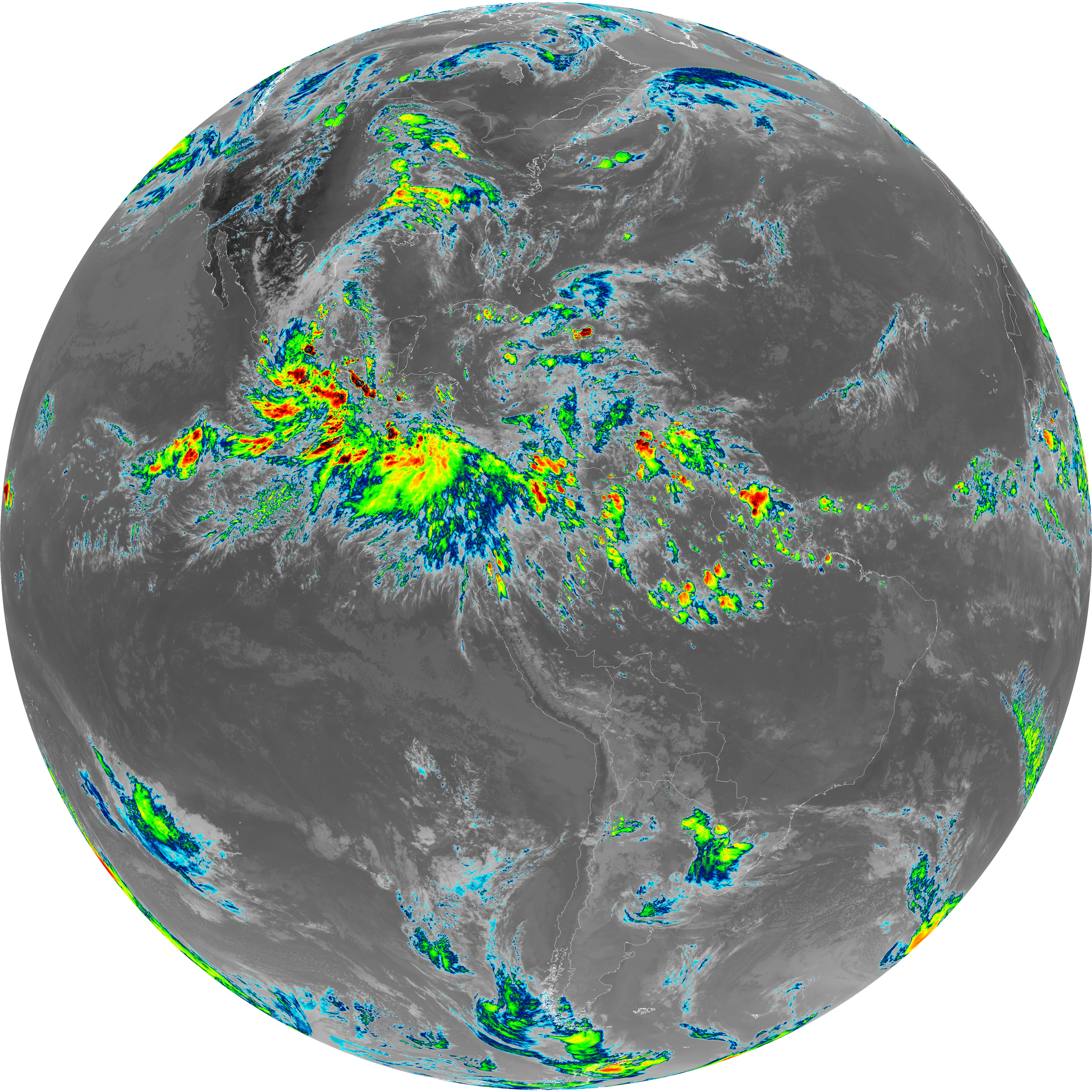
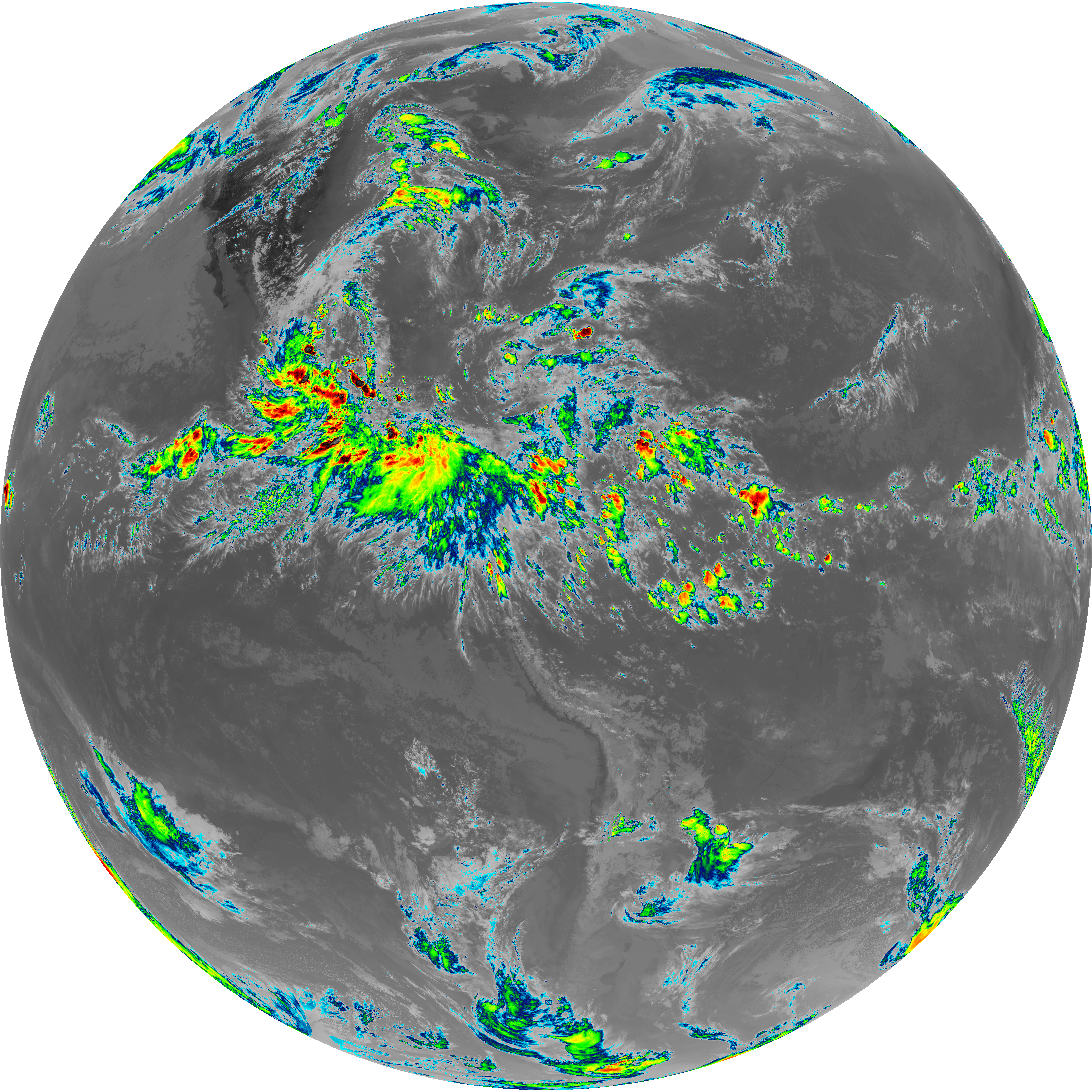
| abi_rgb_Infrared_Longwave_Window_Band.png | 14356130 | 2026-Jun-07 22:27 |
| G19_14_20260607T220021Z.png | 10705220 | 2026-Jun-07 22:26 |
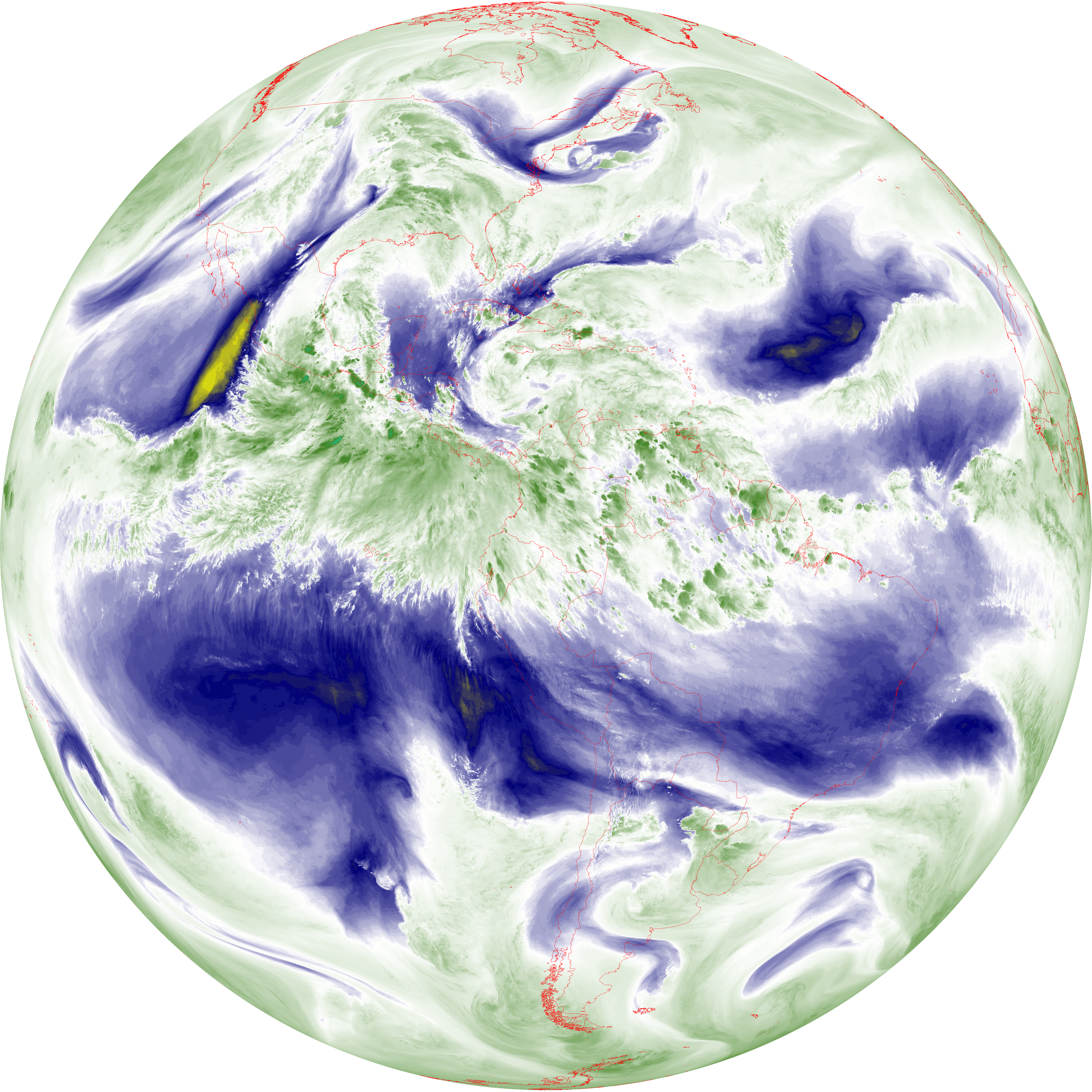
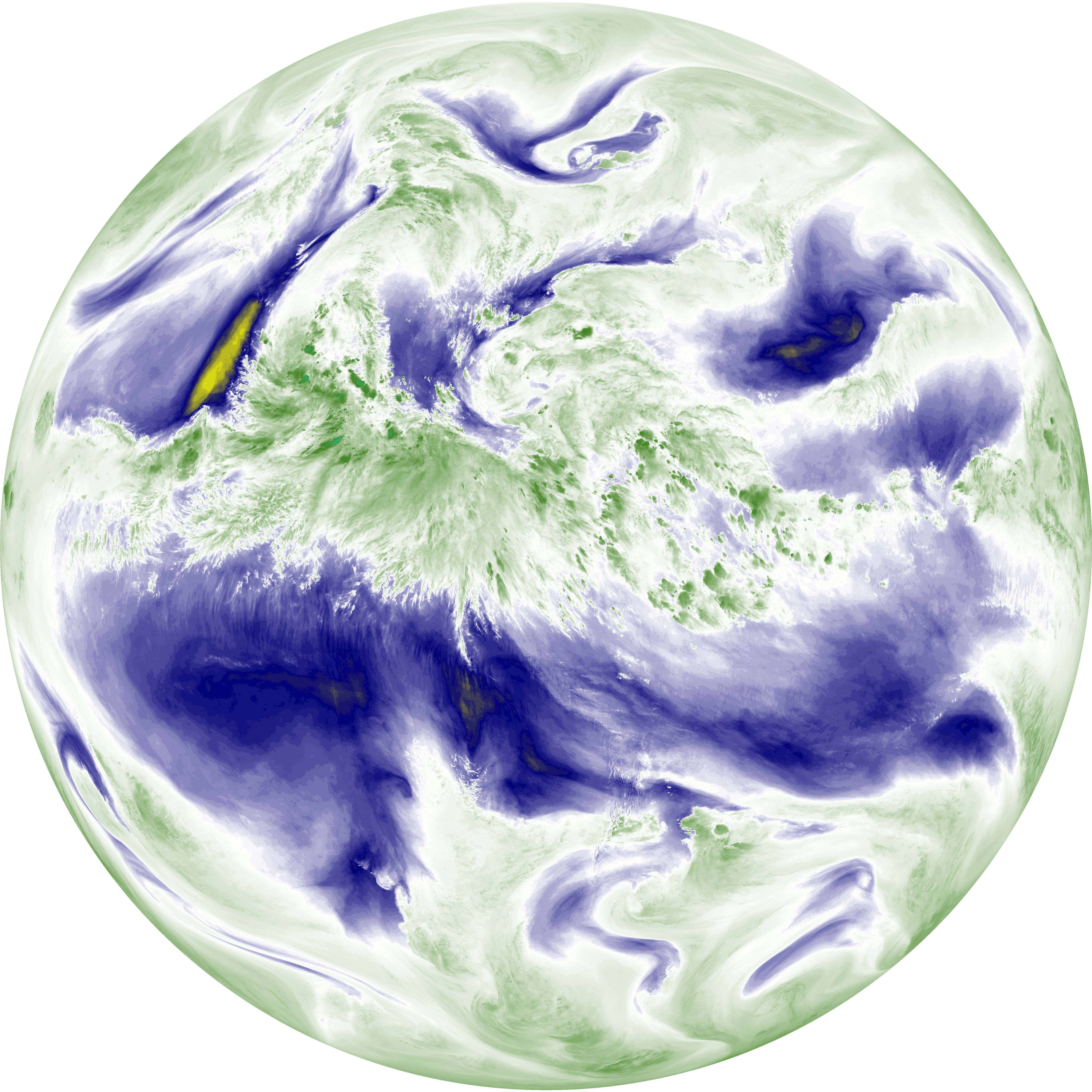
| abi_rgb_Mid-level_Tropospheric_Water_Vapor_map.png | 9427713 | 2026-Jun-07 22:23 |
| abi_rgb_Mid-level_Tropospheric_Water_Vapor.png | 9333850 | 2026-Jun-07 22:23 |
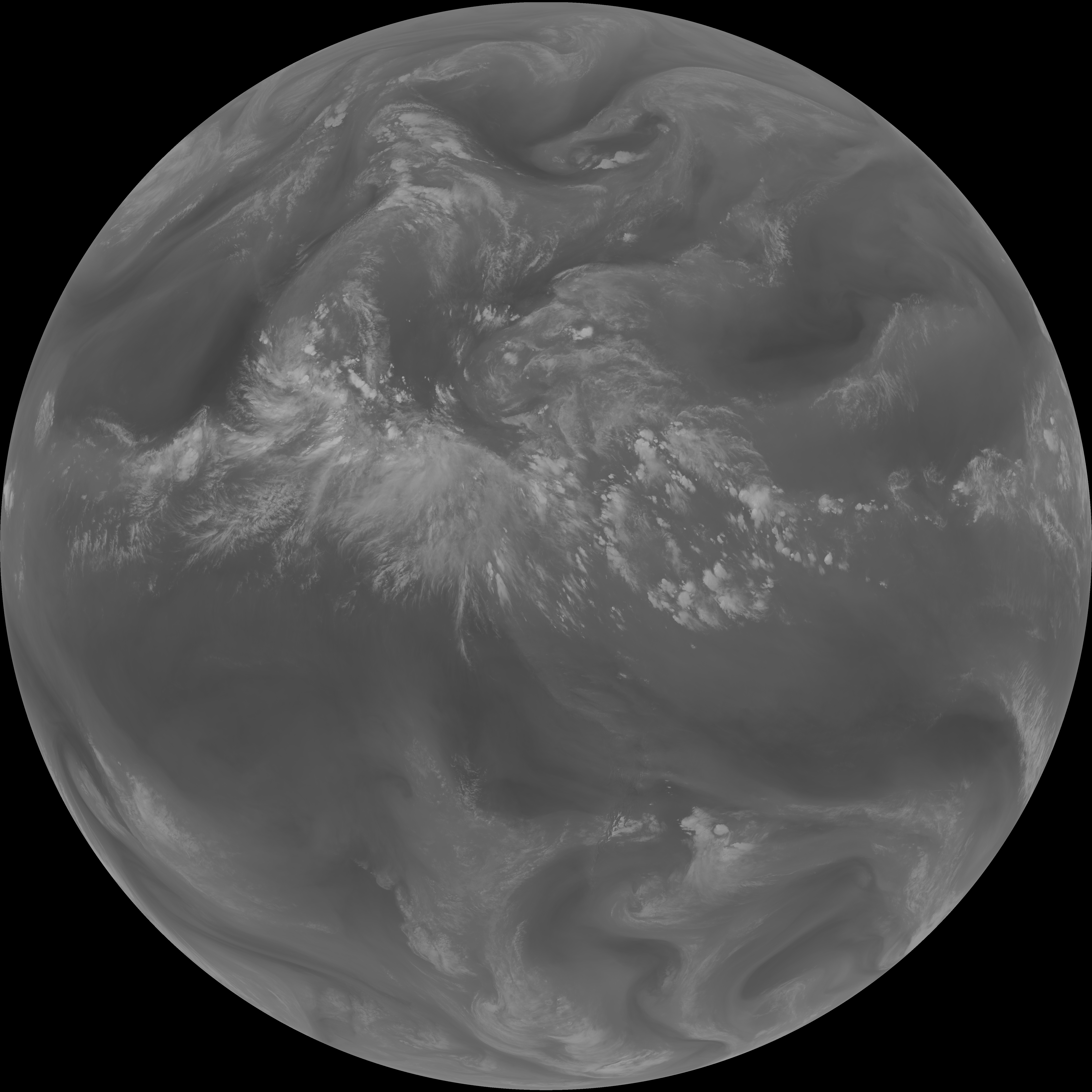
| G19_9_20260607T220021Z.png | 6949774 | 2026-Jun-07 22:23 |
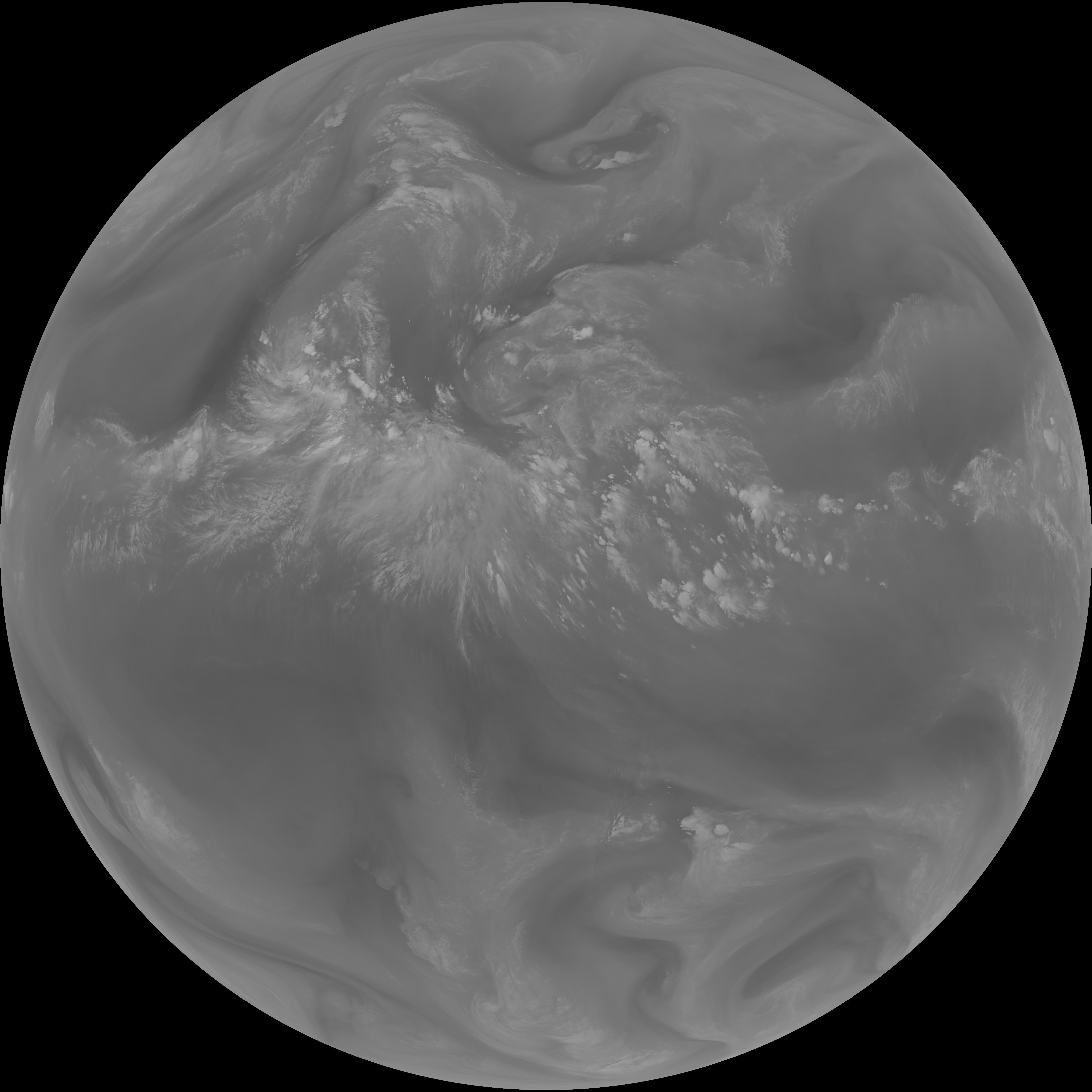
| abi_rgb_Upper-Level_Tropospheric_Water_Vapor_map.png | 8160781 | 2026-Jun-07 22:21 |
| abi_rgb_Upper-Level_Tropospheric_Water_Vapor.png | 8056480 | 2026-Jun-07 22:21 |
| G19_8_20260607T220021Z.png | 6015879 | 2026-Jun-07 22:21 |
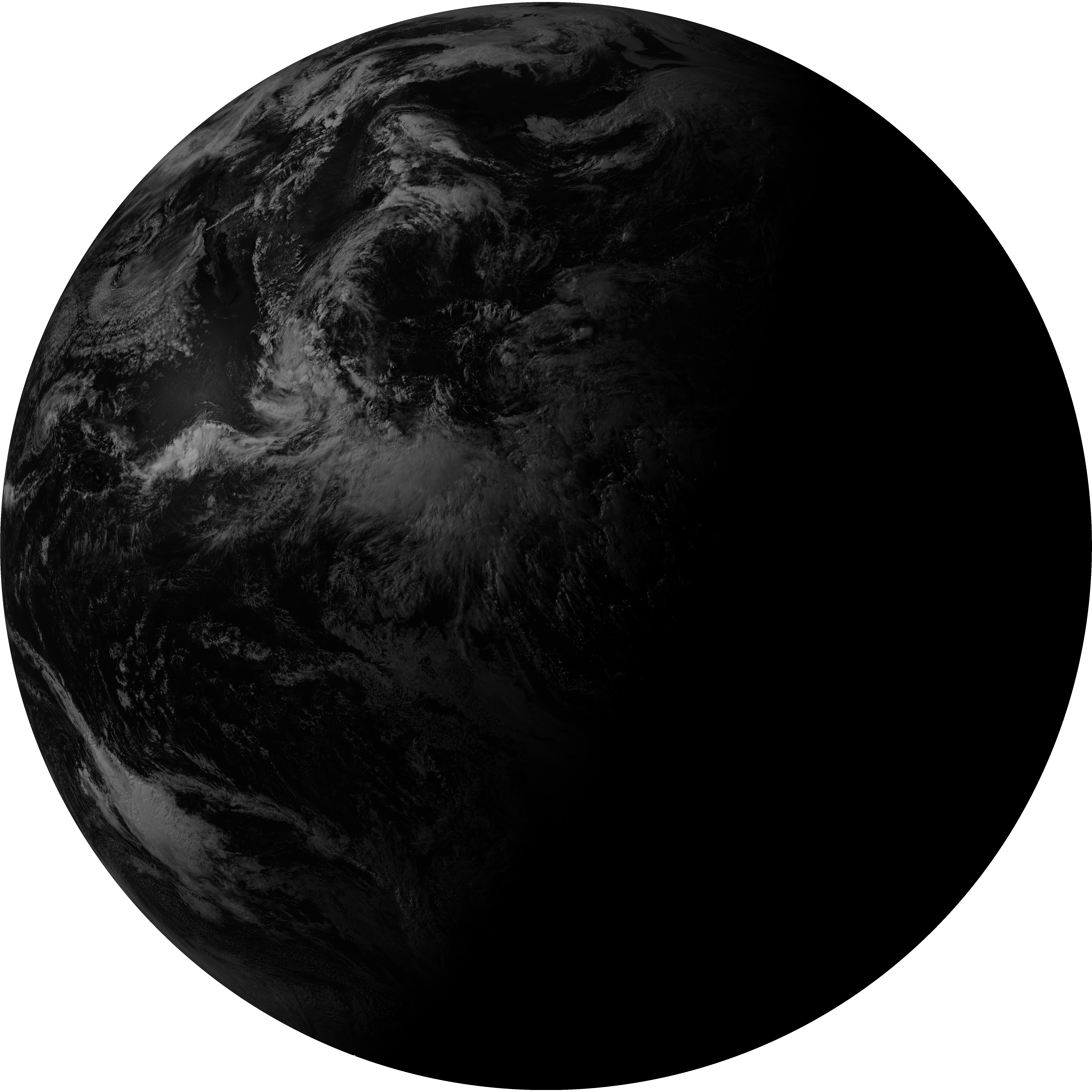
| G19_2_20260607T220021Z.png | 9151467 | 2026-Jun-07 22:19 |
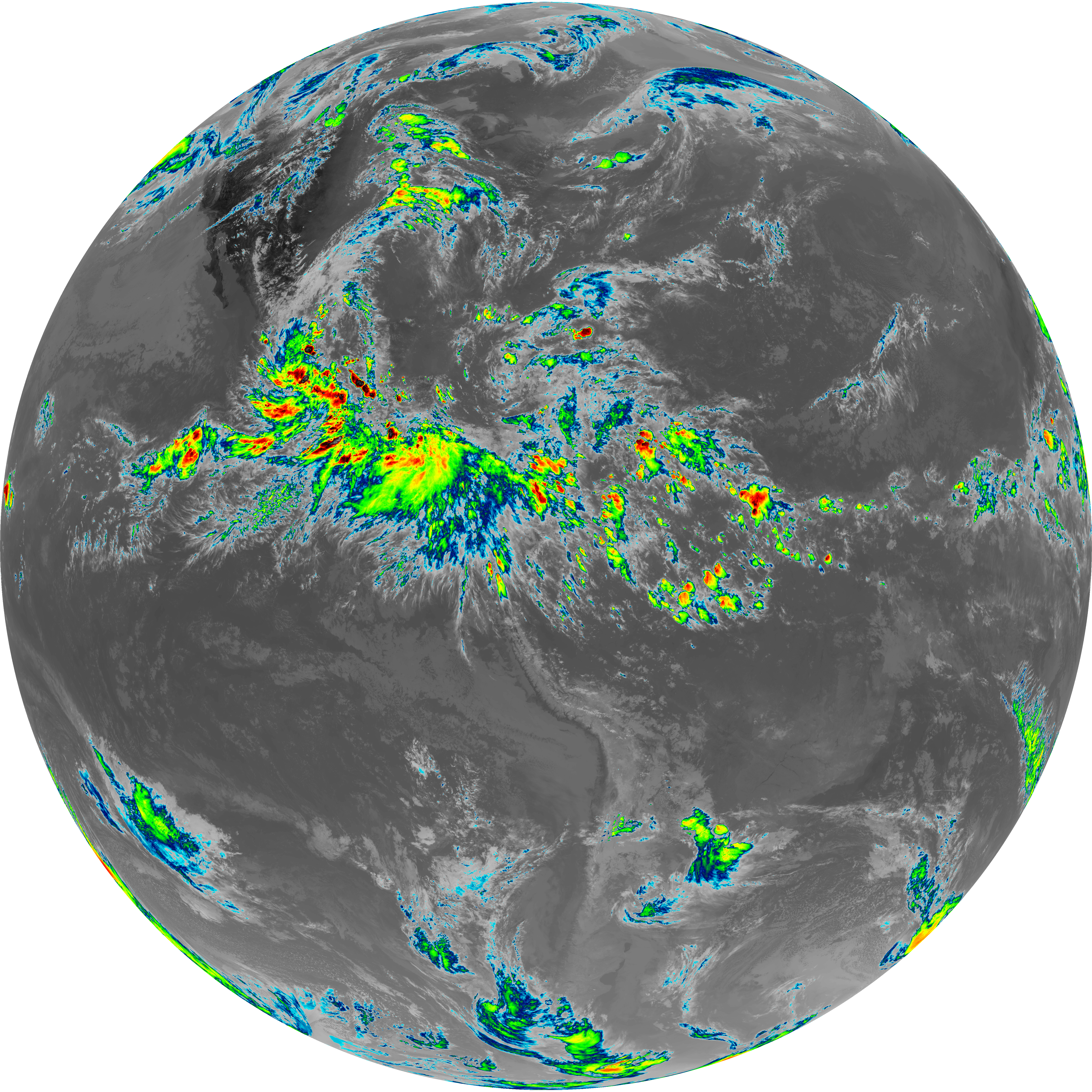
| abi_rgb_Clean_Longwave_IR_Window_Band_map.png | 14209759 | 2026-Jun-07 22:16 |
| abi_rgb_Clean_Longwave_IR_Window_Band.png | 14173790 | 2026-Jun-07 22:16 |
| G19_13_20260607T220021Z.png | 10552977 | 2026-Jun-07 22:16 |
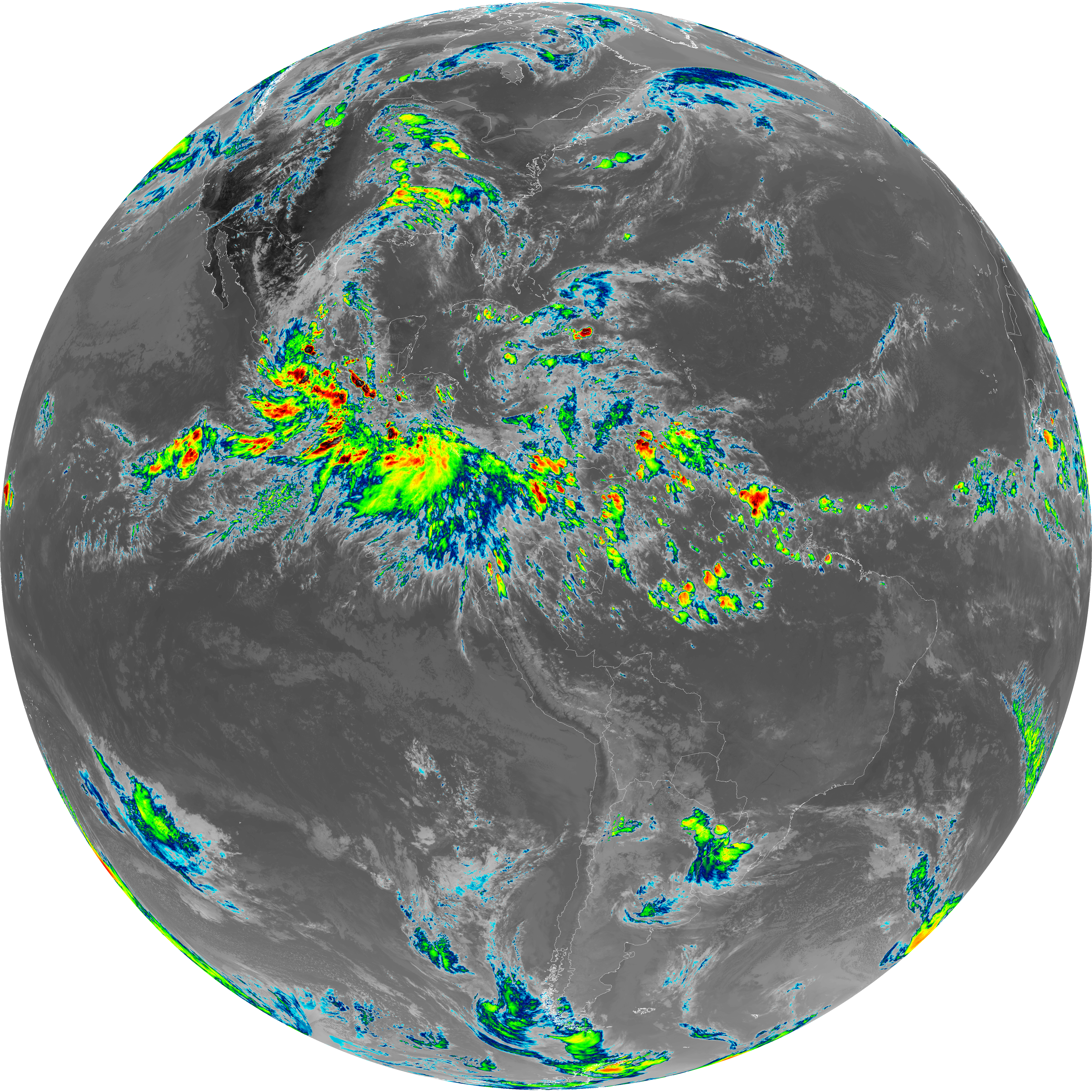
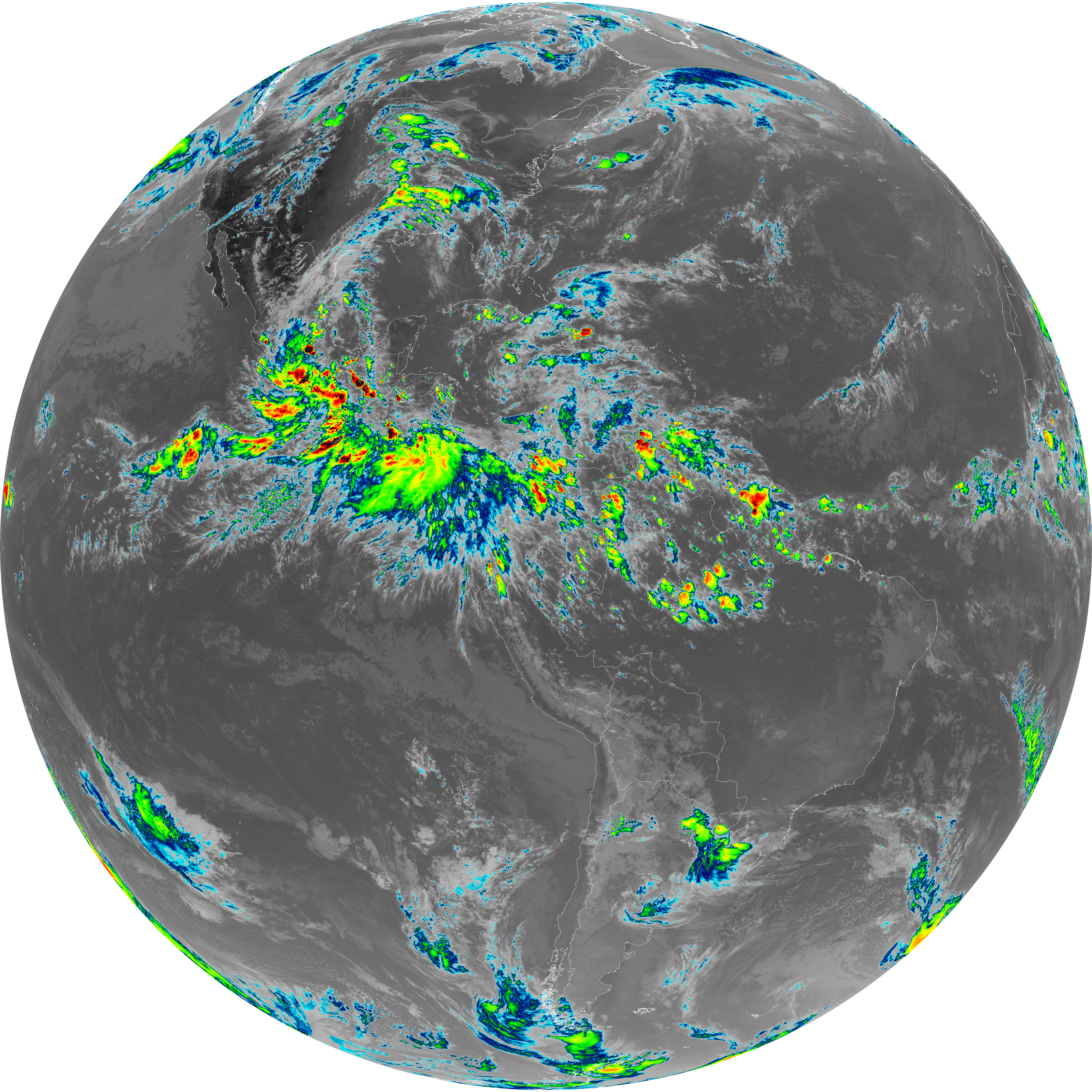
| abi_rgb_Shortwave_Window_Band_map.png | 14466856 | 2026-Jun-07 22:13 |
| abi_rgb_Shortwave_Window_Band.png | 14415230 | 2026-Jun-07 22:13 |
| G19_7_20260607T220021Z.png | 10559770 | 2026-Jun-07 22:13 |