| Parent directory/ | - | - |
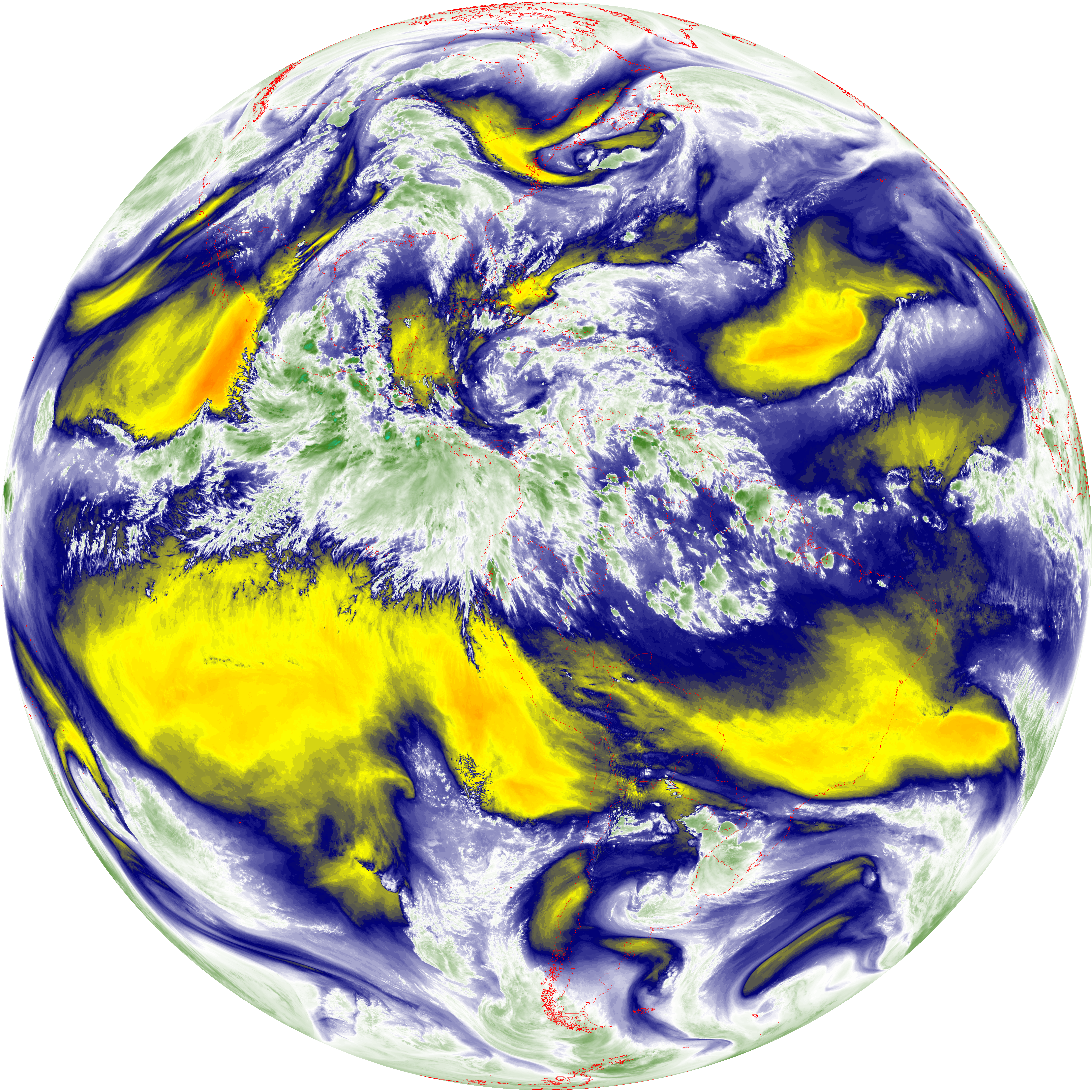
| abi_rgb_Mid-level_Tropospheric_Water_Vapor_map.png | 9298684 | 2026-Jun-07 23:29 |
| abi_rgb_Mid-level_Tropospheric_Water_Vapor.png | 9203808 | 2026-Jun-07 23:29 |
| G19_9_20260607T230021Z.png | 6848972 | 2026-Jun-07 23:29 |
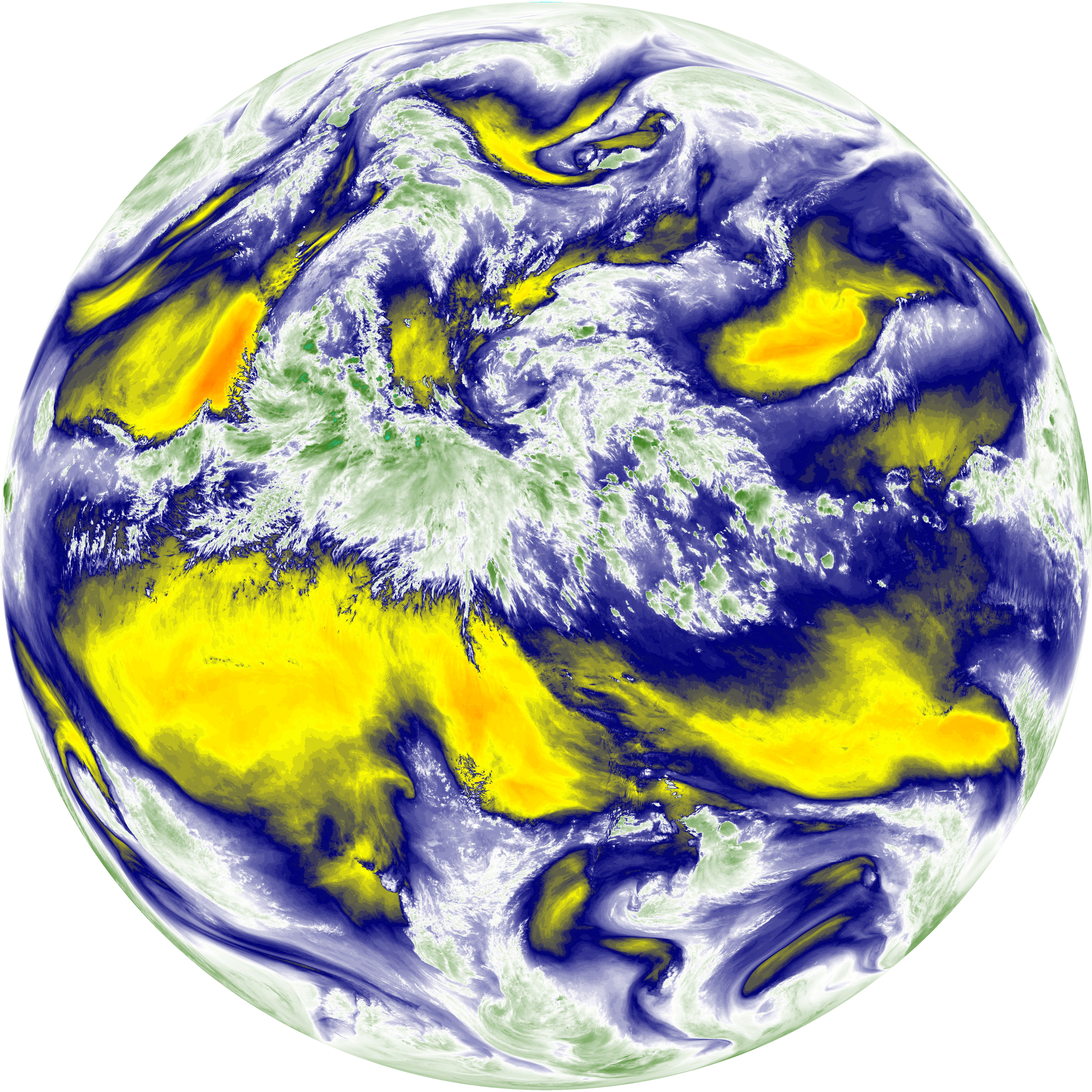
| abi_rgb_Dirty_Longwave_Window_-_CIRA_map.png | 12332804 | 2026-Jun-07 23:27 |
| abi_rgb_Dirty_Longwave_Window_-_CIRA.png | 12277635 | 2026-Jun-07 23:27 |
| abi_rgb_Dirty_Longwave_Window_map.png | 13956935 | 2026-Jun-07 23:27 |
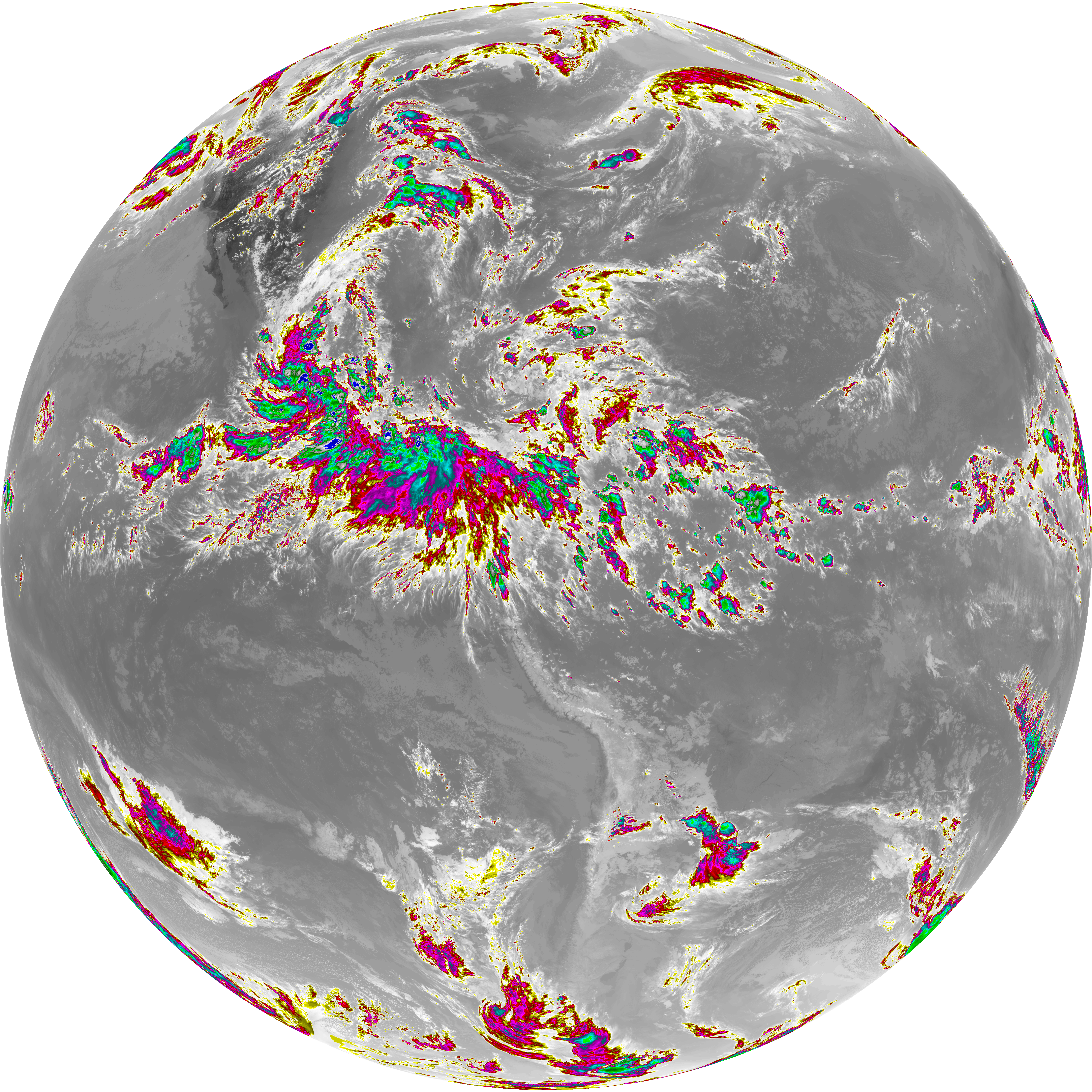
| abi_rgb_Dirty_Longwave_Window.png | 13913661 | 2026-Jun-07 23:27 |
| G19_15_20260607T230021Z.png | 10339526 | 2026-Jun-07 23:27 |
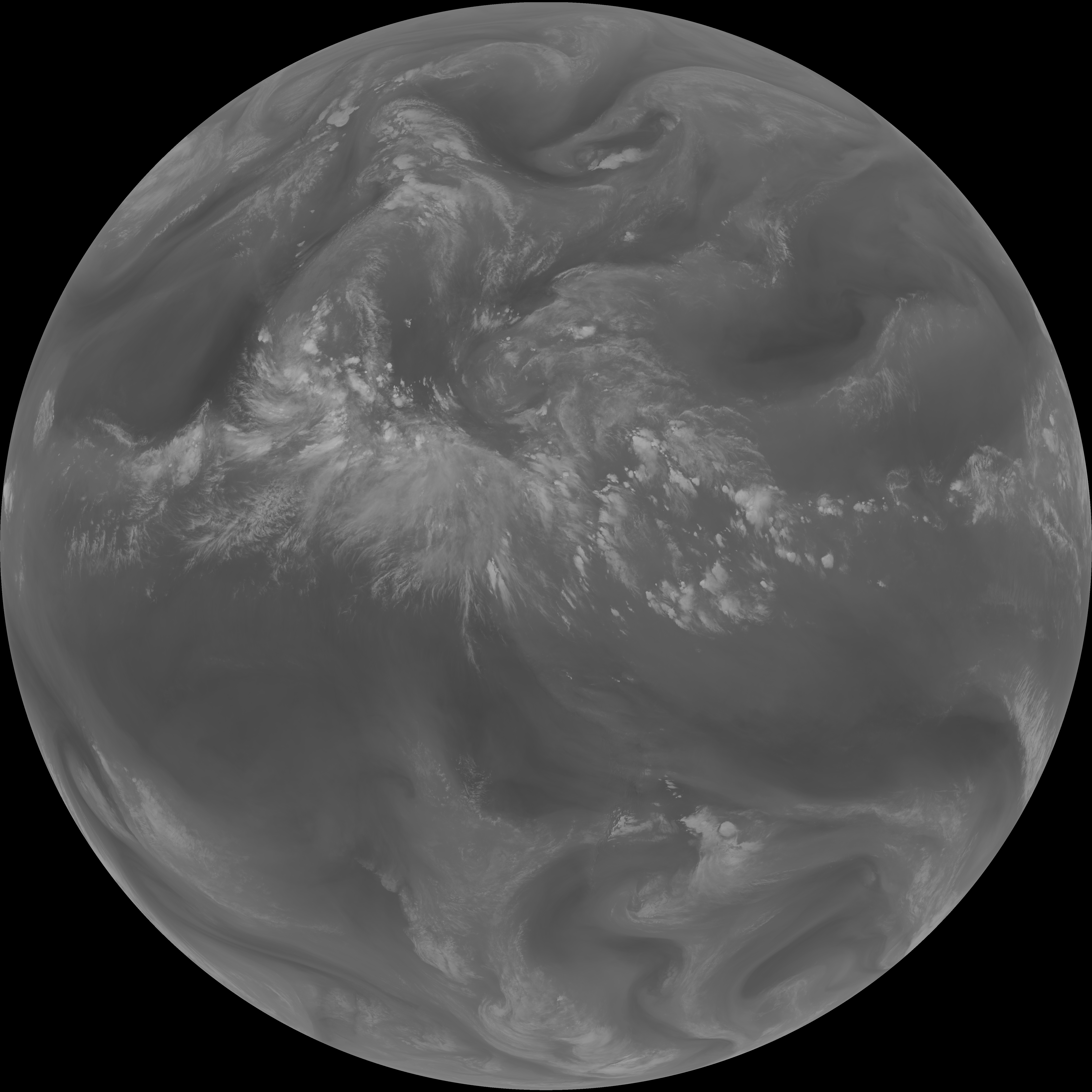
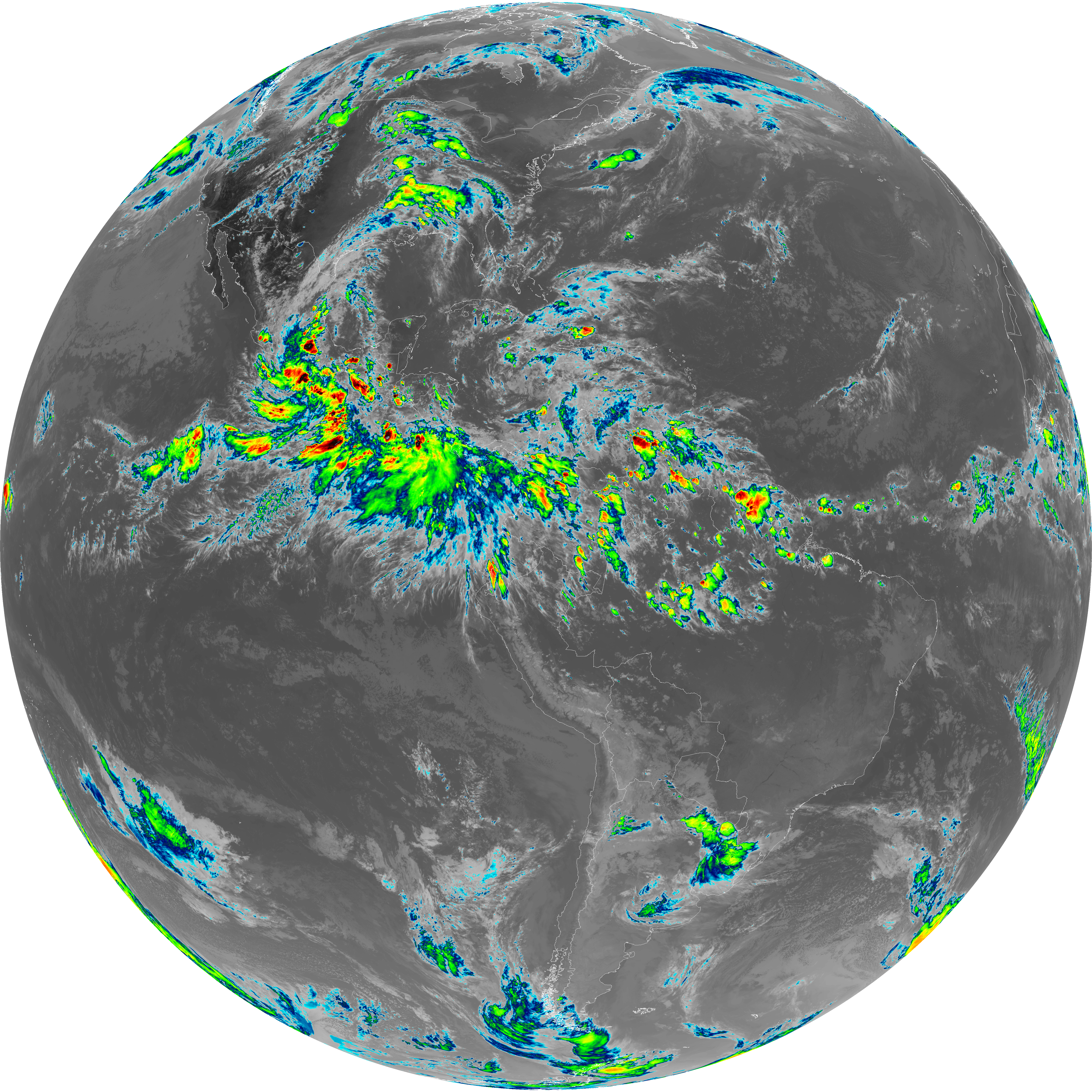
| abi_rgb_Infrared_Longwave_Window_Band_map.png | 14252020 | 2026-Jun-07 23:24 |
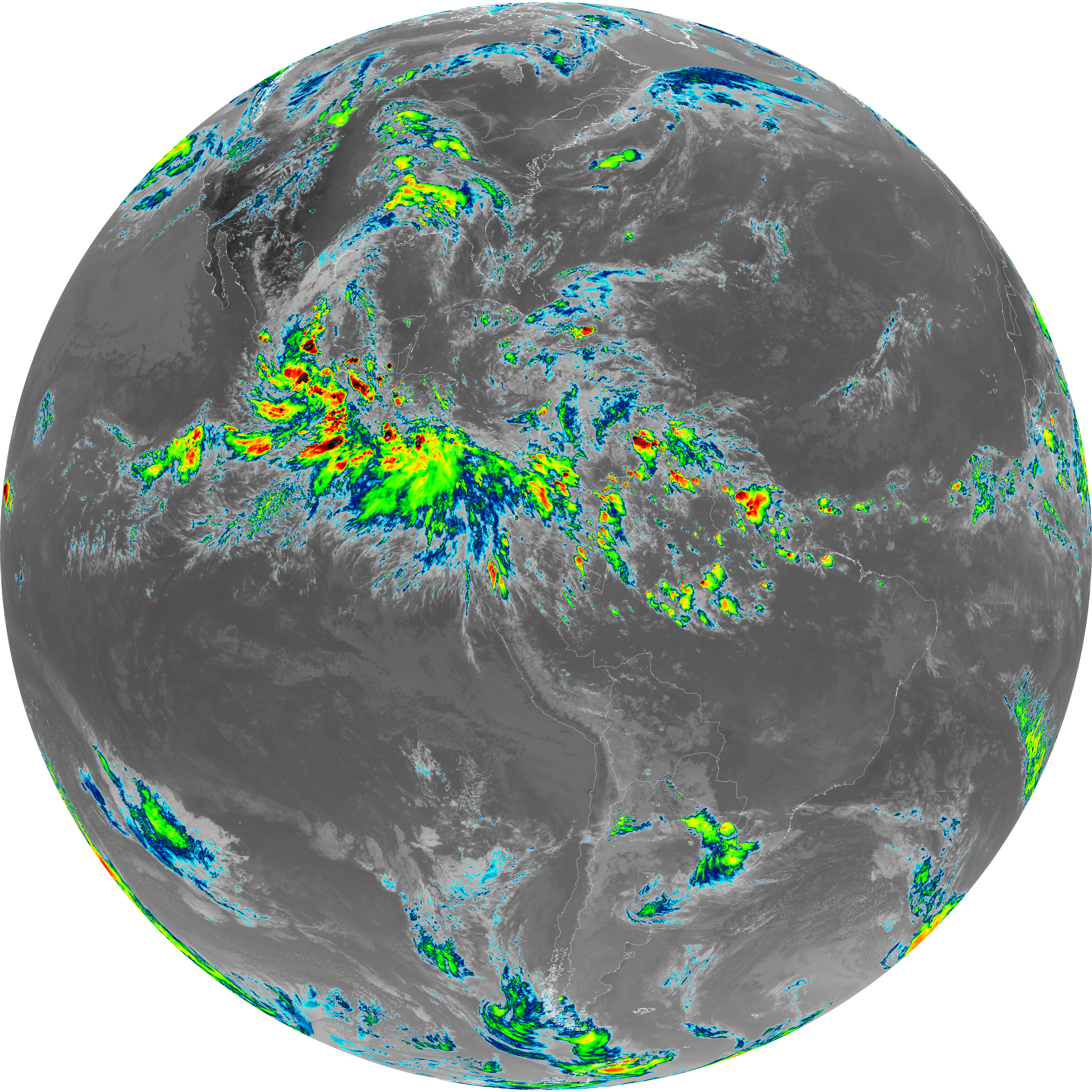
| abi_rgb_Infrared_Longwave_Window_Band.png | 14212099 | 2026-Jun-07 23:24 |
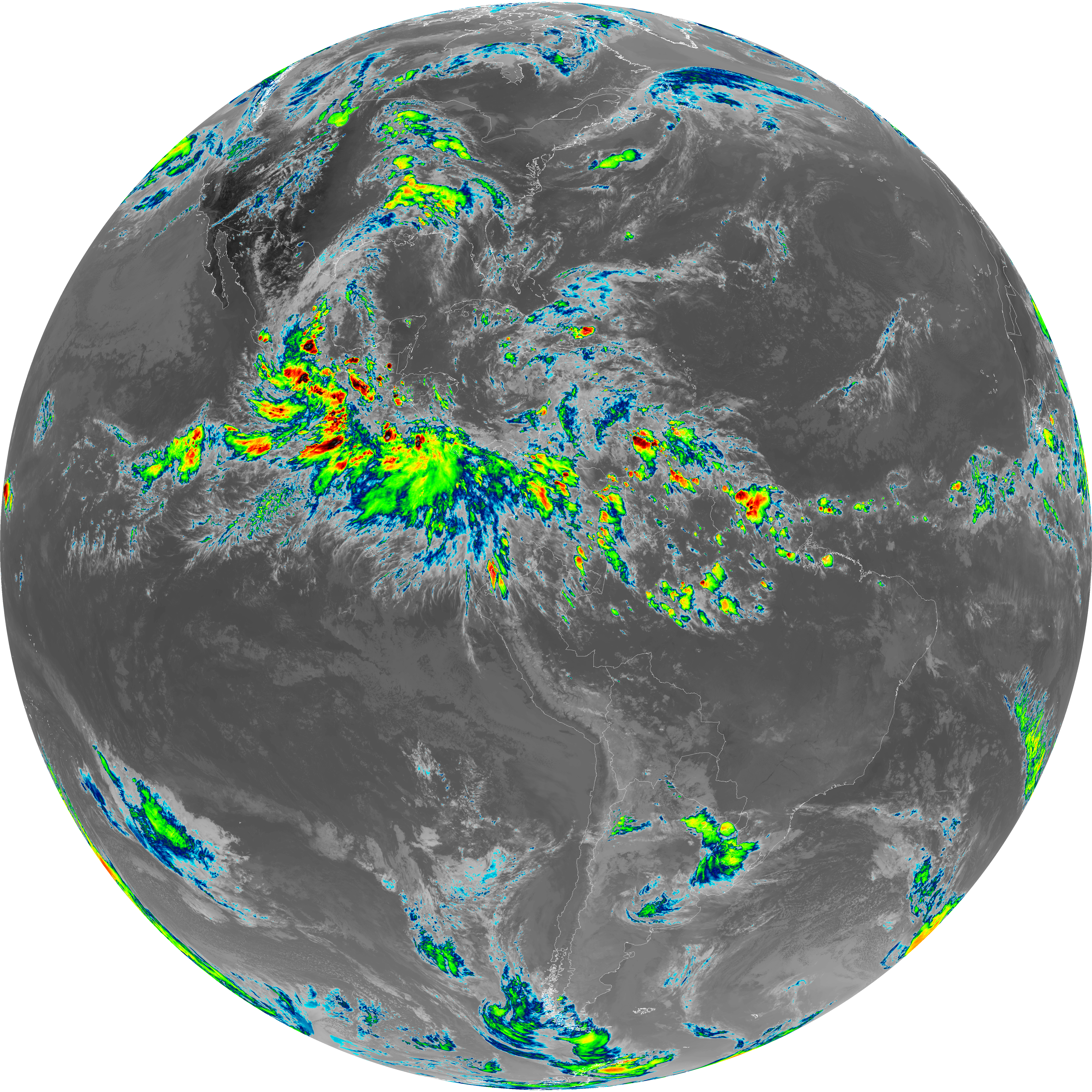
| G19_14_20260607T230021Z.png | 10596747 | 2026-Jun-07 23:24 |
| abi_rgb_Upper-Level_Tropospheric_Water_Vapor_map.png | 8042712 | 2026-Jun-07 23:21 |
| abi_rgb_Upper-Level_Tropospheric_Water_Vapor.png | 7936681 | 2026-Jun-07 23:21 |
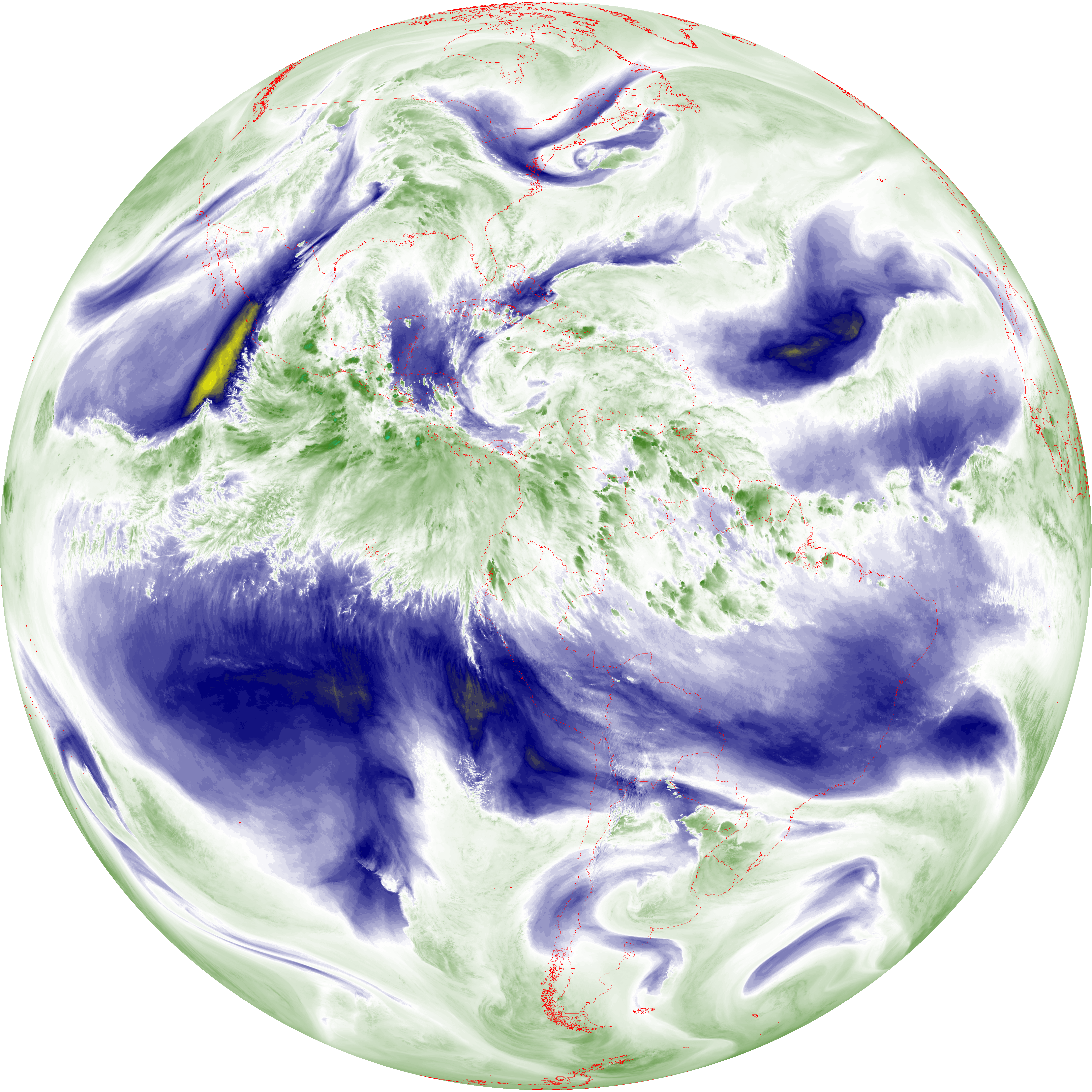
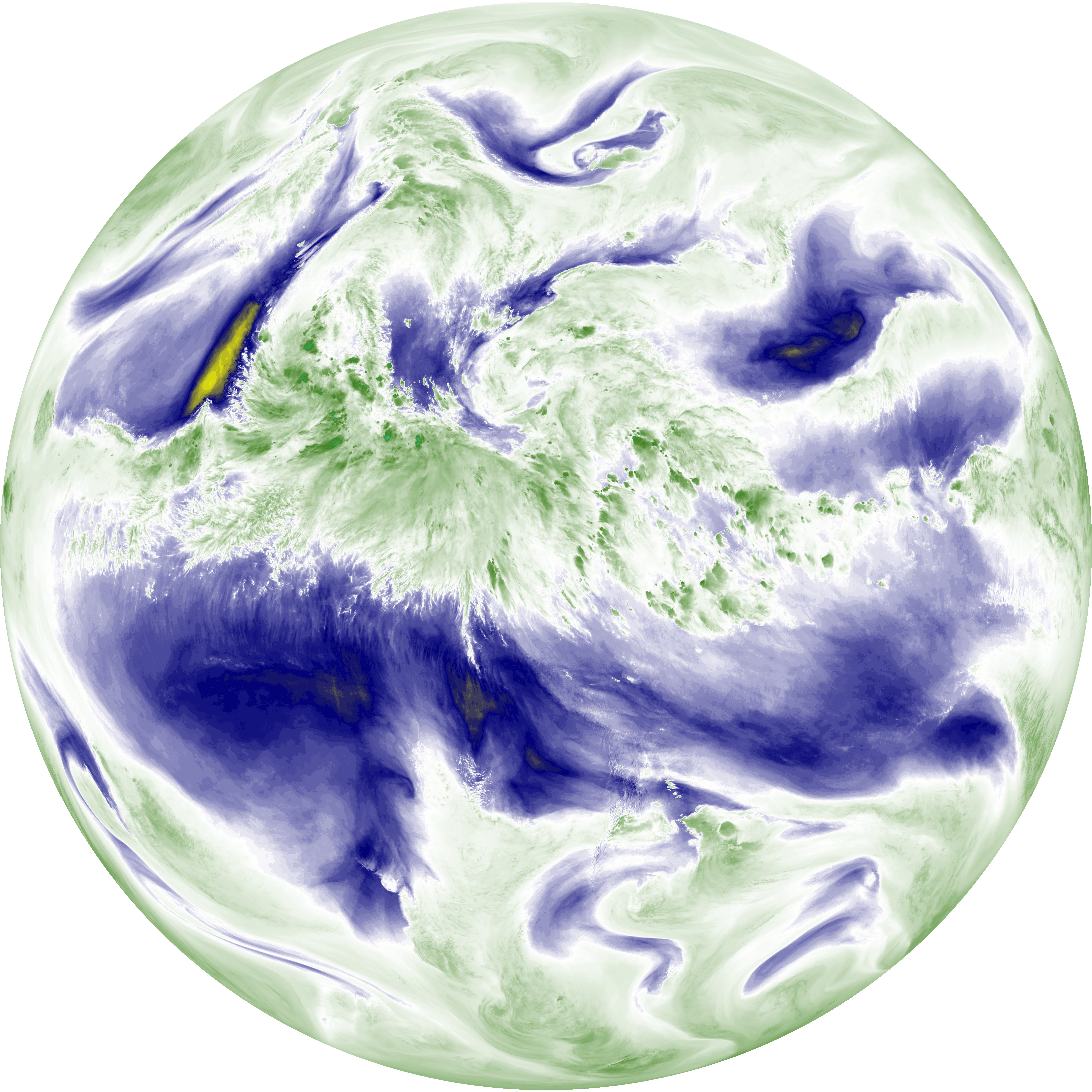
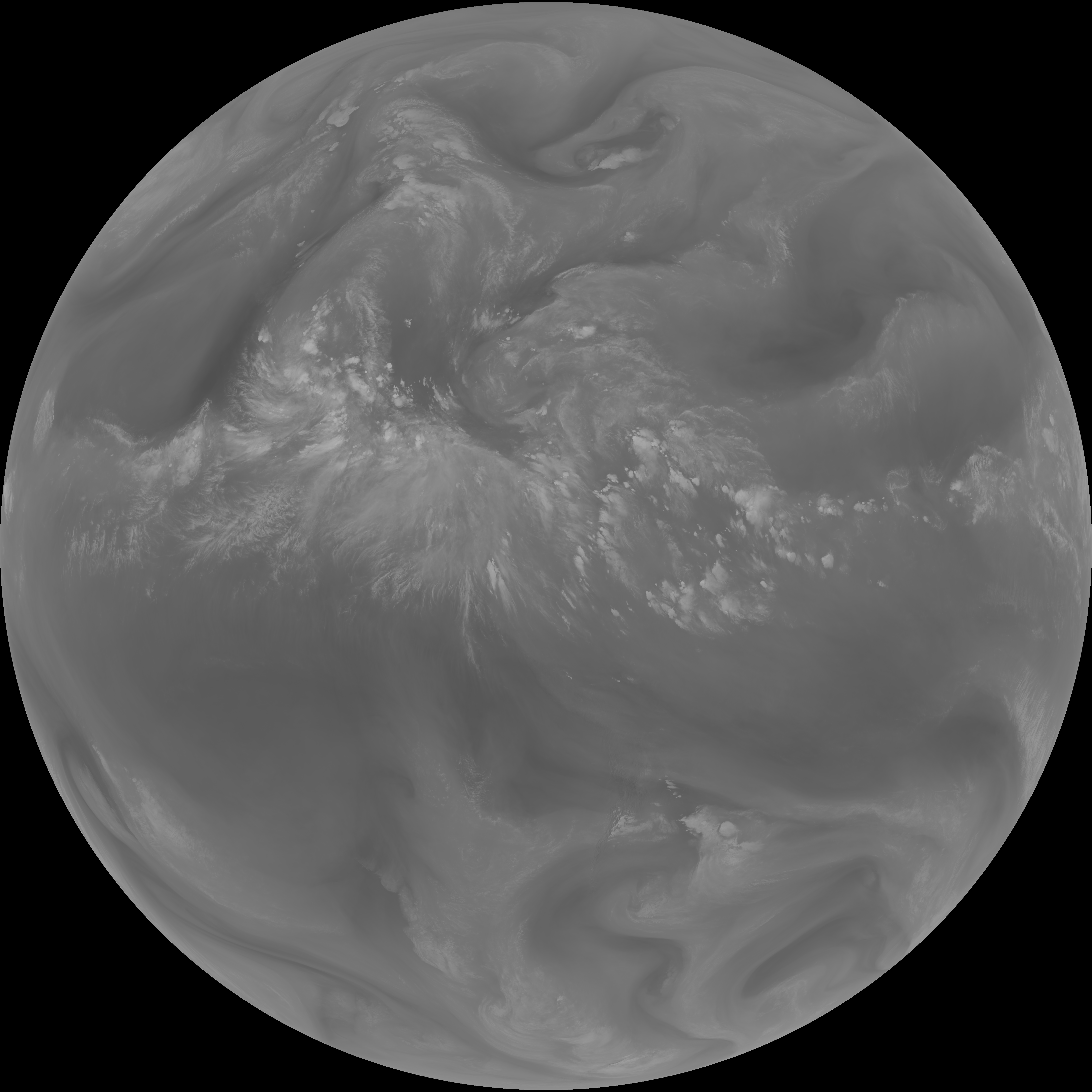
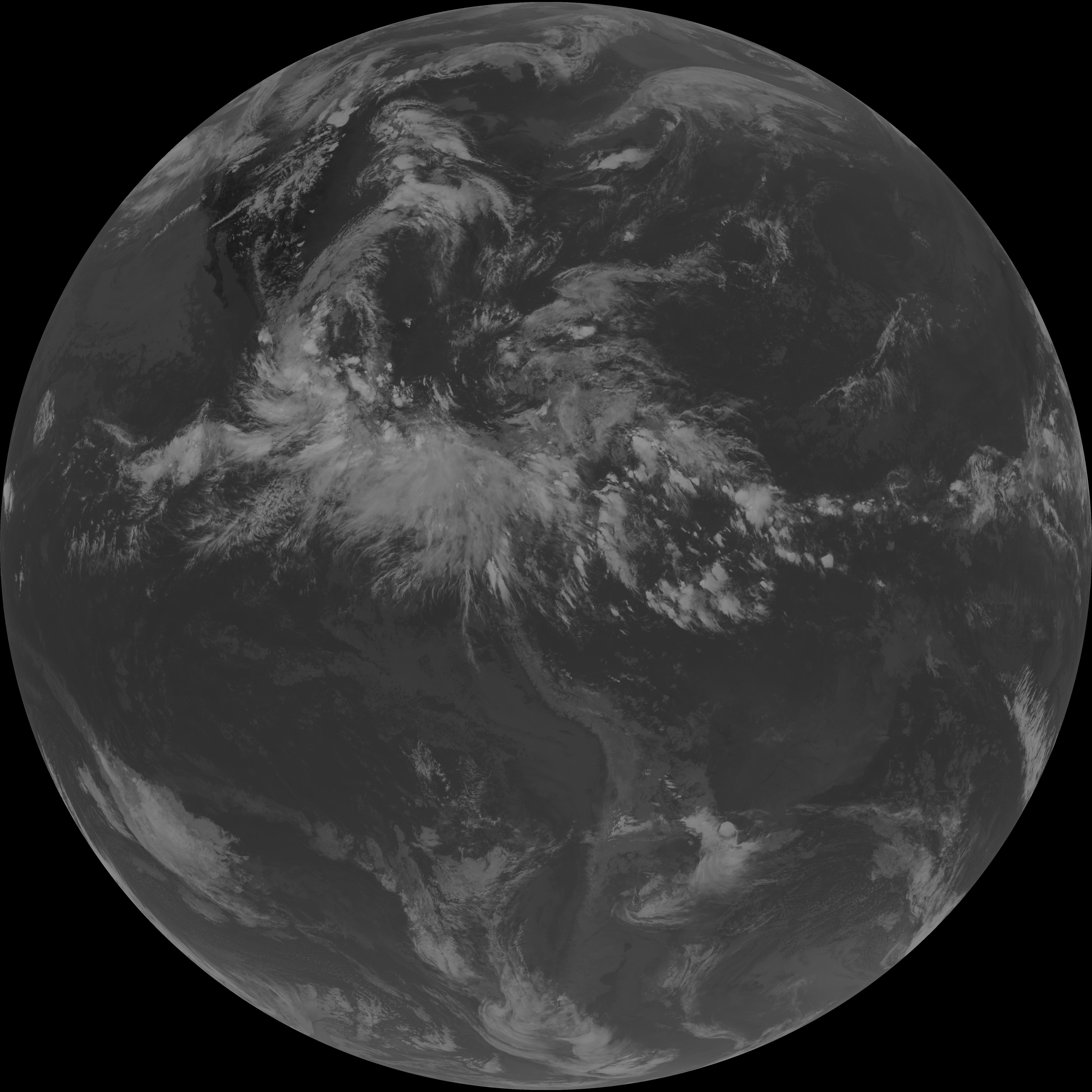
| G19_8_20260607T230021Z.png | 5918291 | 2026-Jun-07 23:20 |
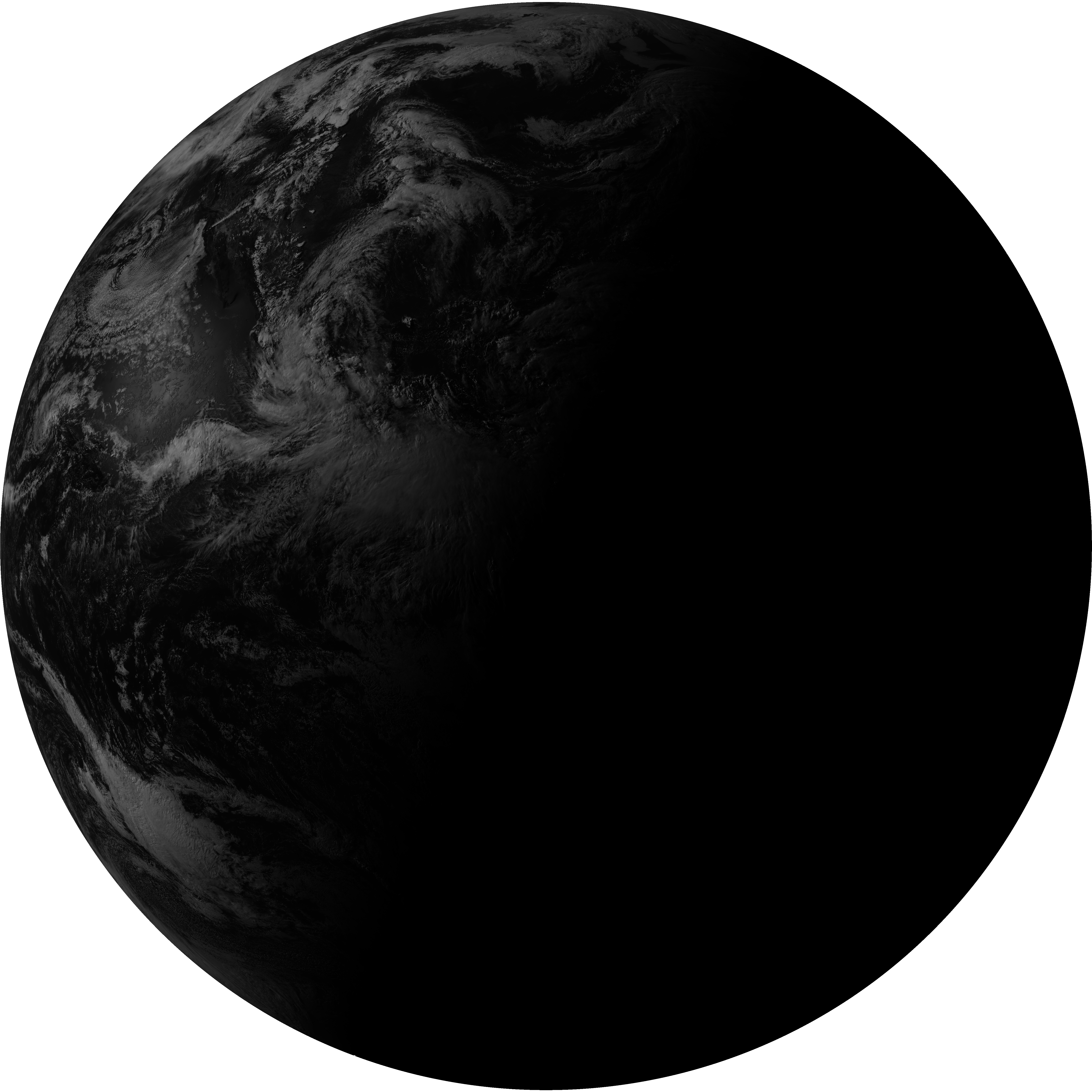
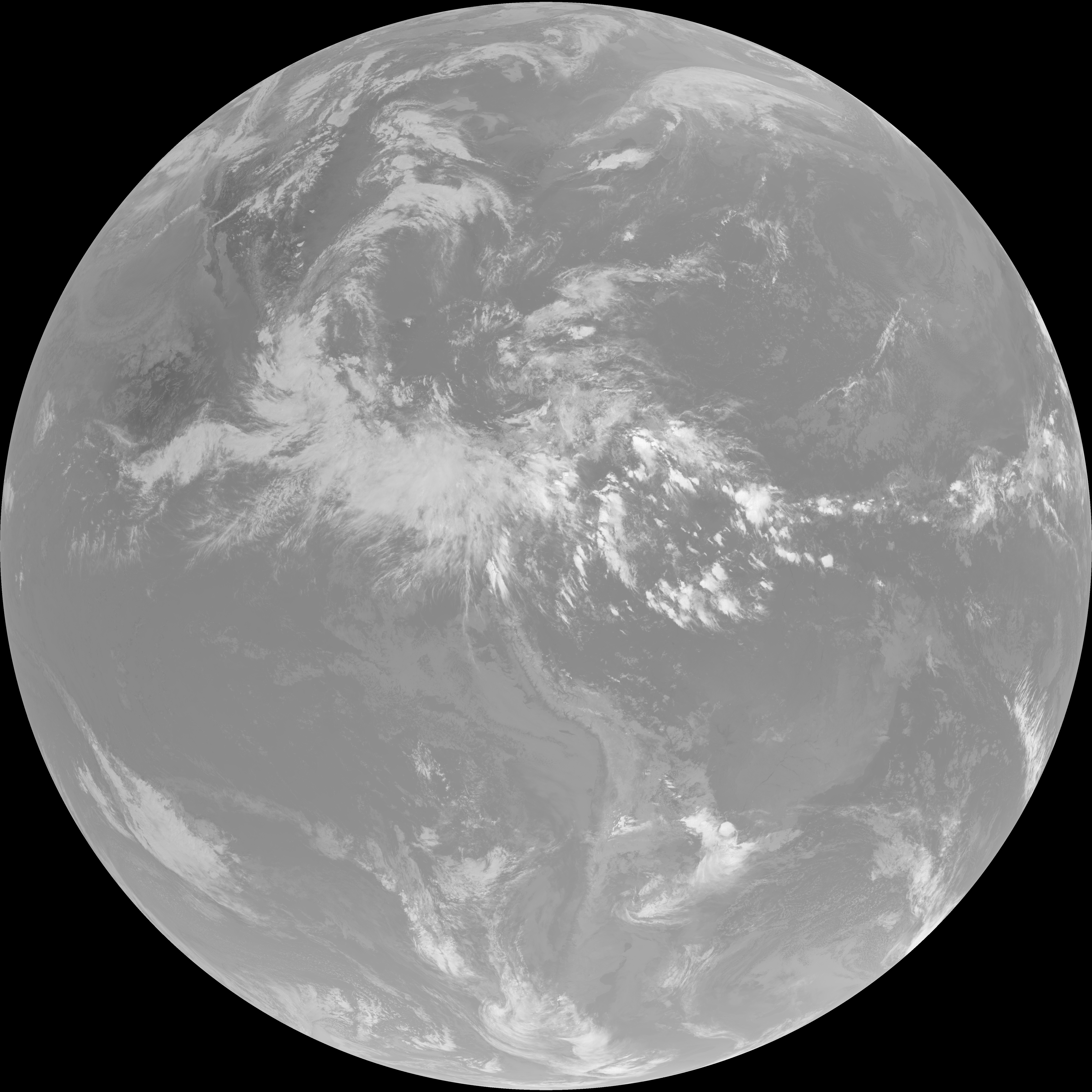
| G19_2_20260607T230021Z.png | 6992929 | 2026-Jun-07 23:18 |
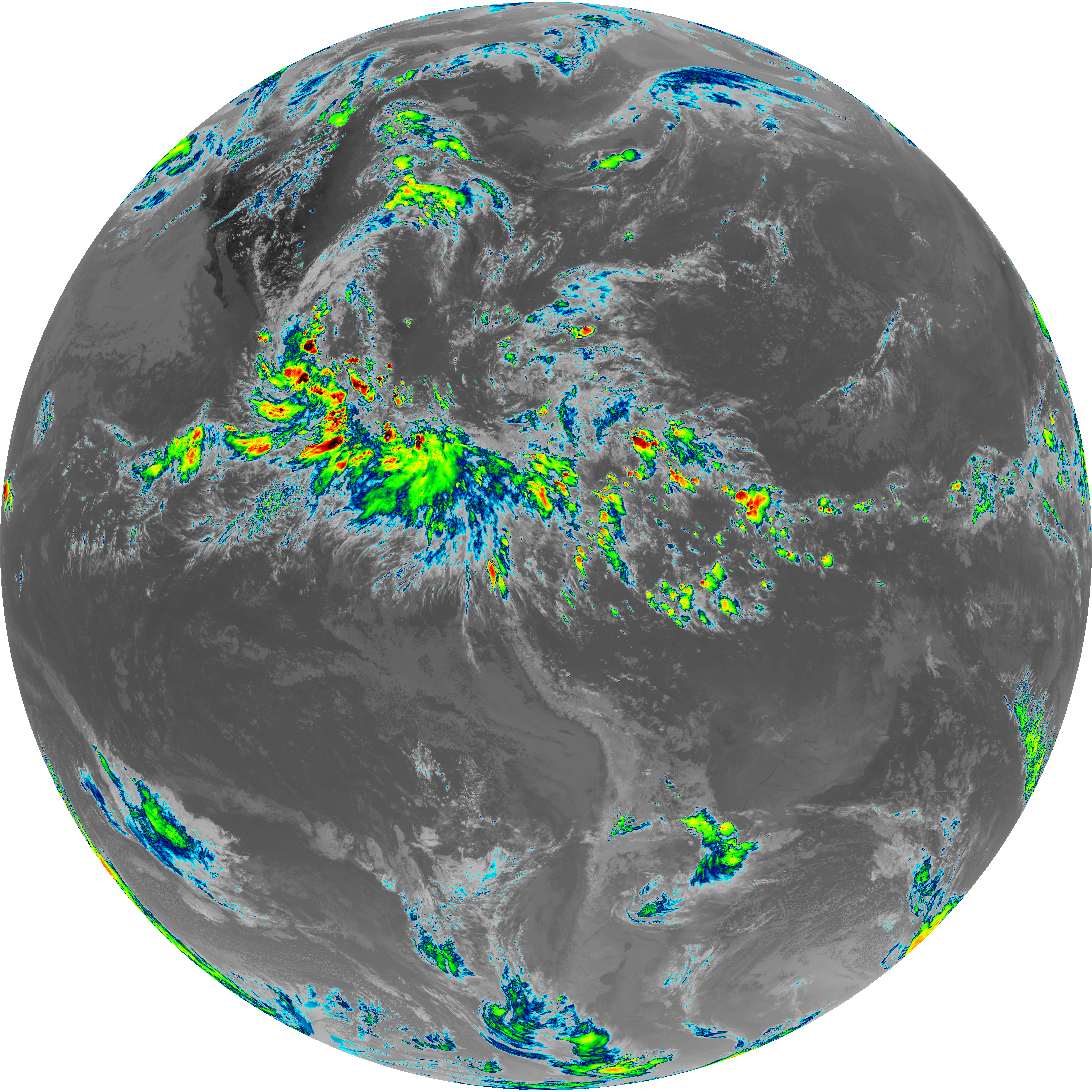
| abi_rgb_Clean_Longwave_IR_Window_Band_map.png | 14072502 | 2026-Jun-07 23:16 |
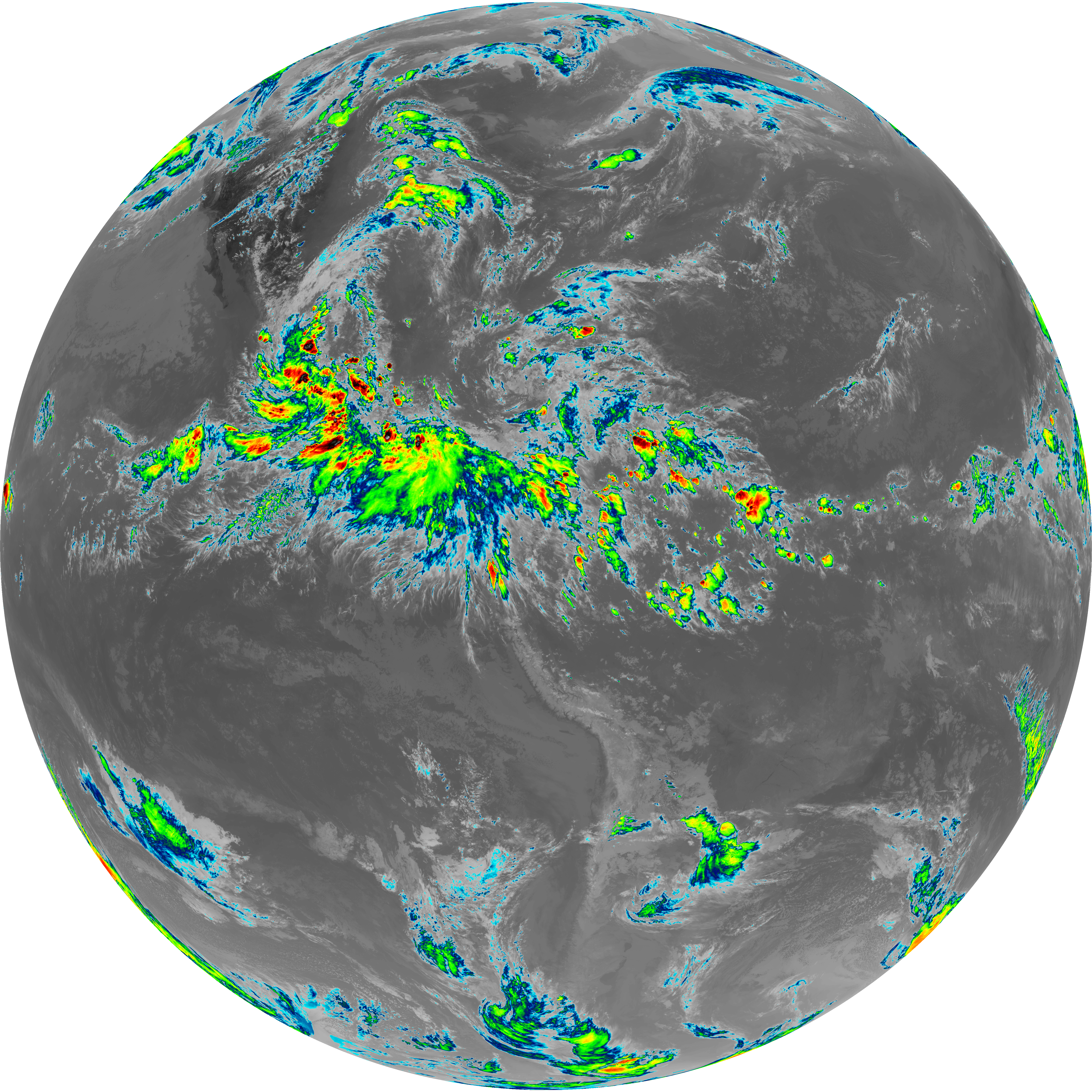
| abi_rgb_Clean_Longwave_IR_Window_Band.png | 14032472 | 2026-Jun-07 23:16 |
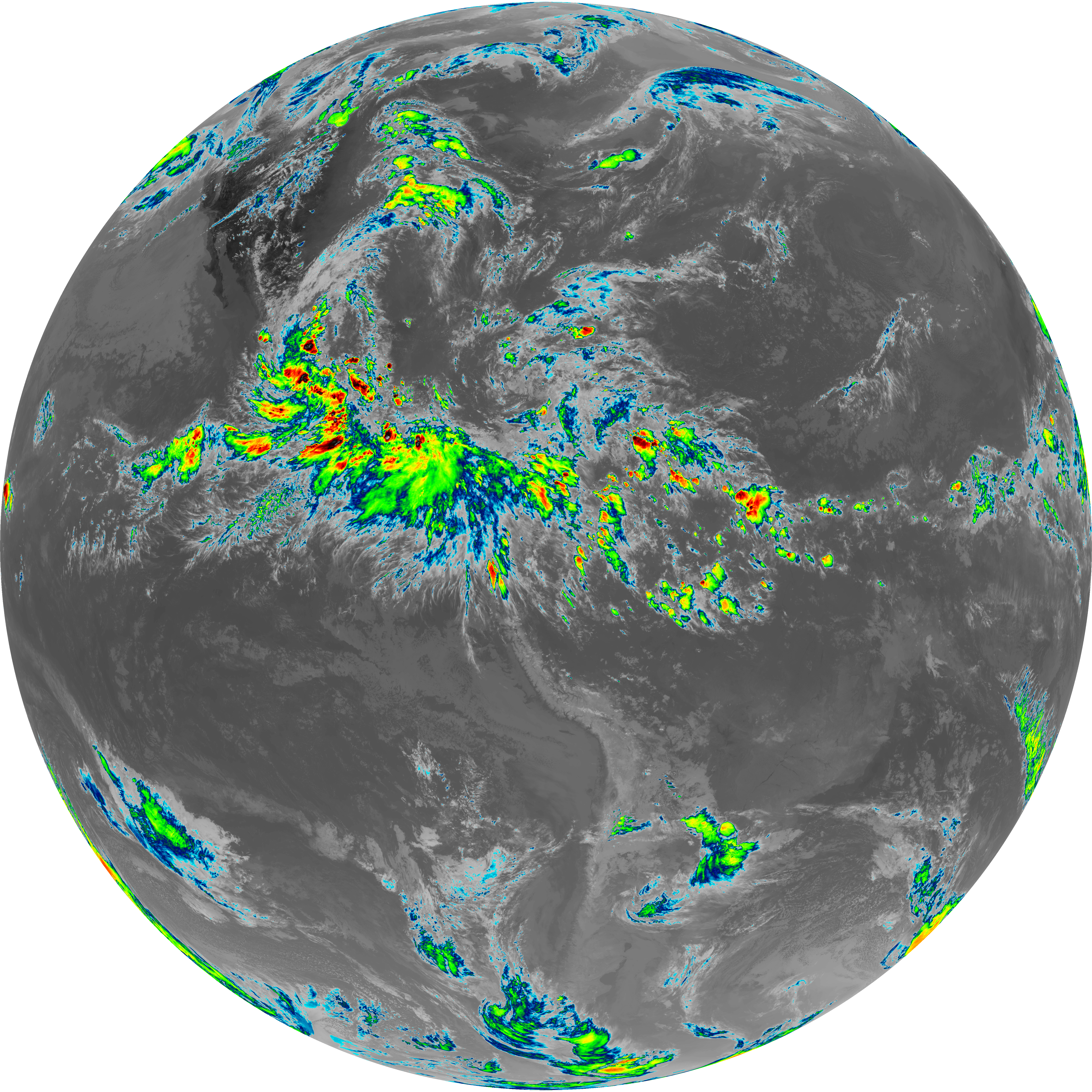
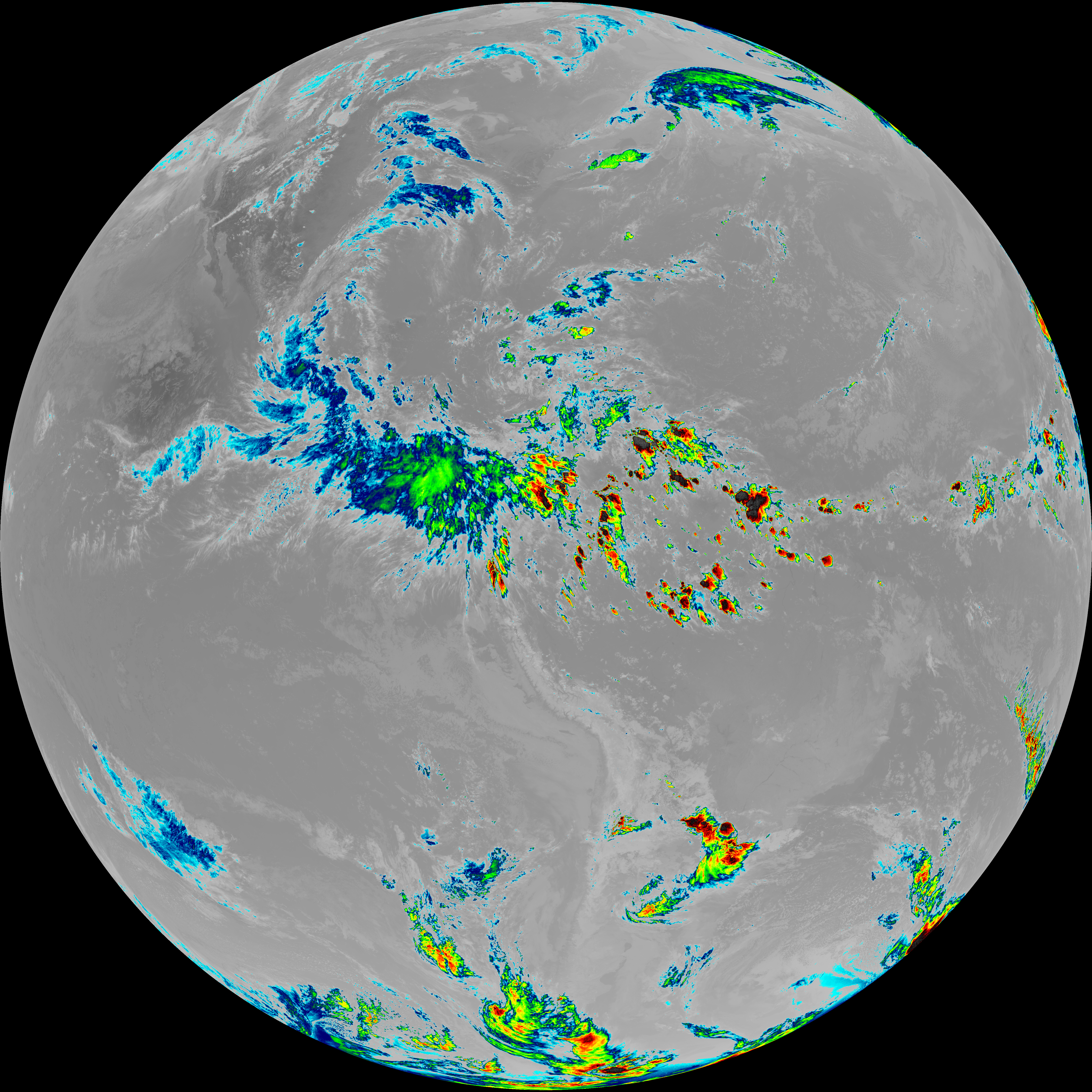
| G19_13_20260607T230021Z.png | 10443719 | 2026-Jun-07 23:16 |
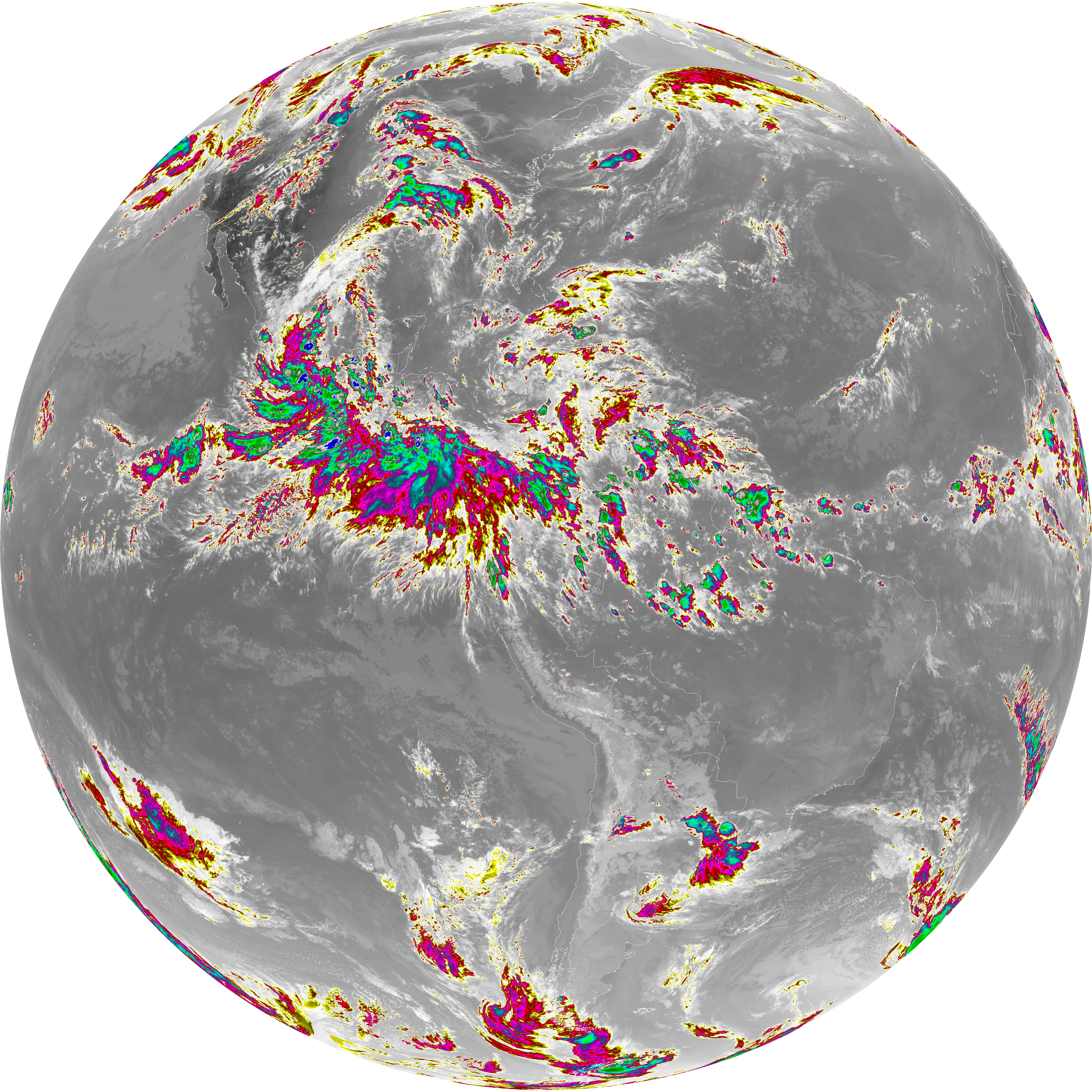
| abi_rgb_Shortwave_Window_Band_map.png | 14693263 | 2026-Jun-07 23:13 |
| abi_rgb_Shortwave_Window_Band.png | 14640538 | 2026-Jun-07 23:13 |
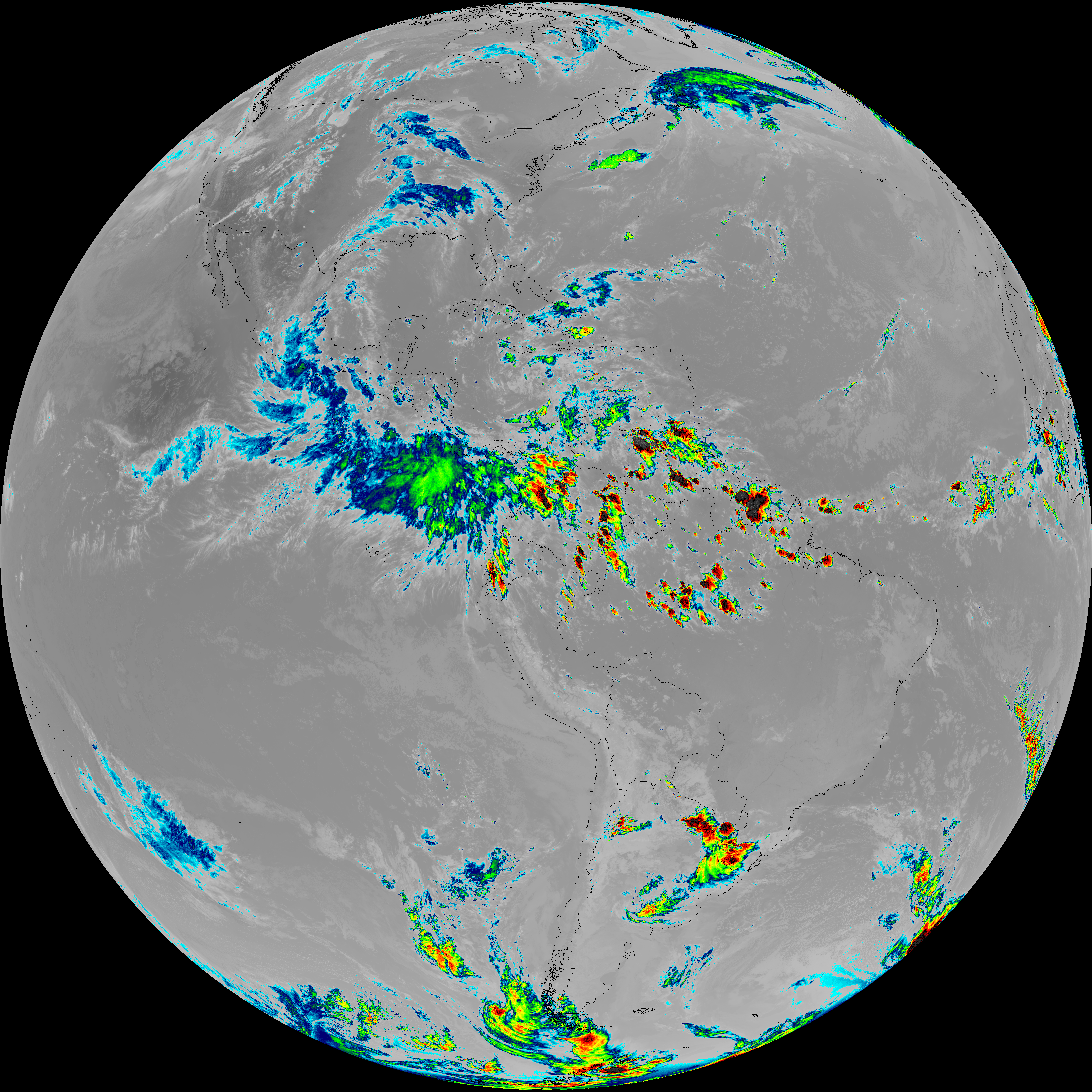
| G19_7_20260607T230021Z.png | 10739935 | 2026-Jun-07 23:13 |