| Parent directory/ | - | - |
| abi_rgb_Shortwave_Window_Band_map.png | 14799902 | 2026-Jun-07 23:43 |
| abi_rgb_Shortwave_Window_Band.png | 14744722 | 2026-Jun-07 23:43 |
| abi_rgb_Infrared_Longwave_Window_Band_map.png | 14170510 | 2026-Jun-07 23:55 |
| abi_rgb_Infrared_Longwave_Window_Band.png | 14129817 | 2026-Jun-07 23:55 |
| abi_rgb_Clean_Longwave_IR_Window_Band_map.png | 13993897 | 2026-Jun-07 23:46 |
| abi_rgb_Clean_Longwave_IR_Window_Band.png | 13951847 | 2026-Jun-07 23:46 |
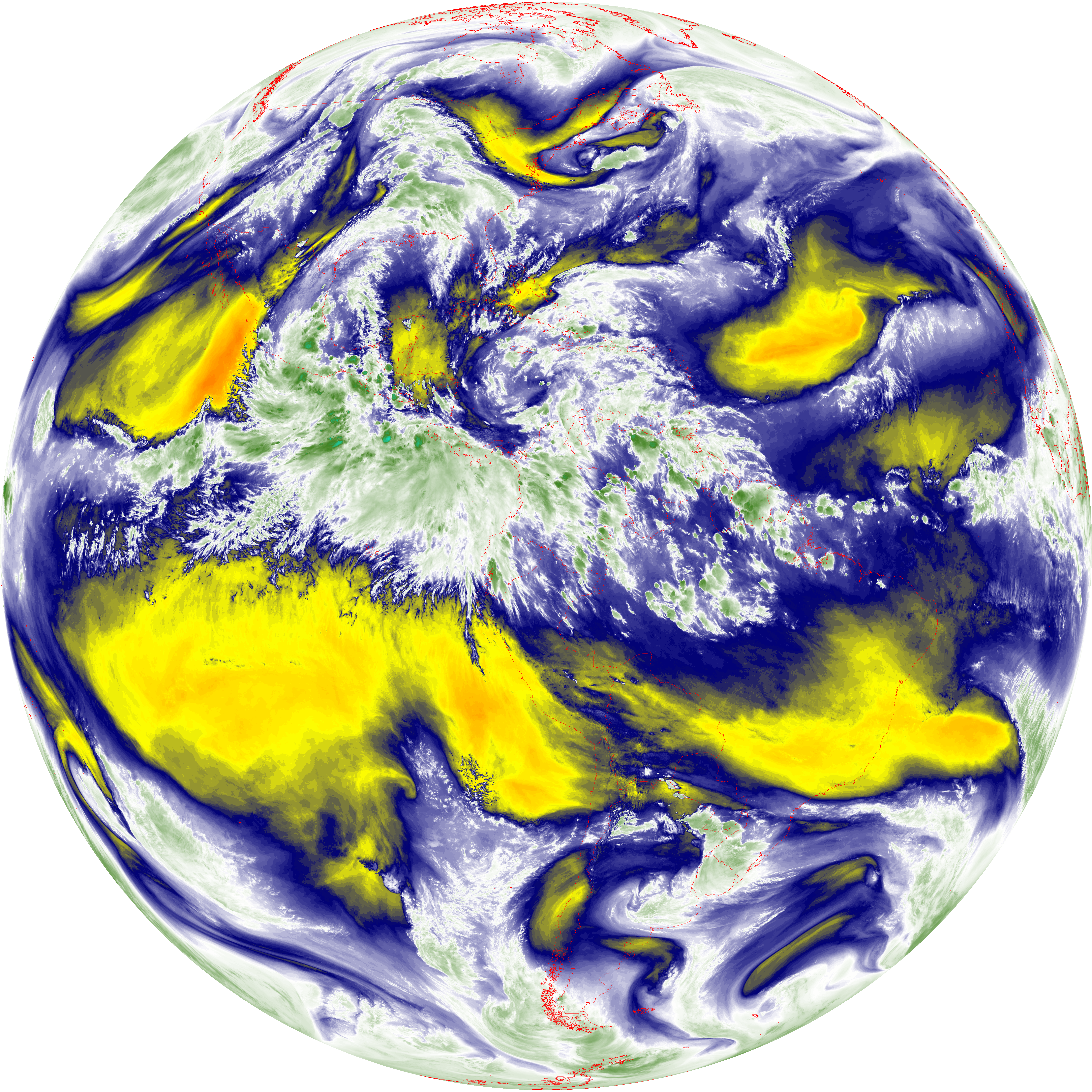
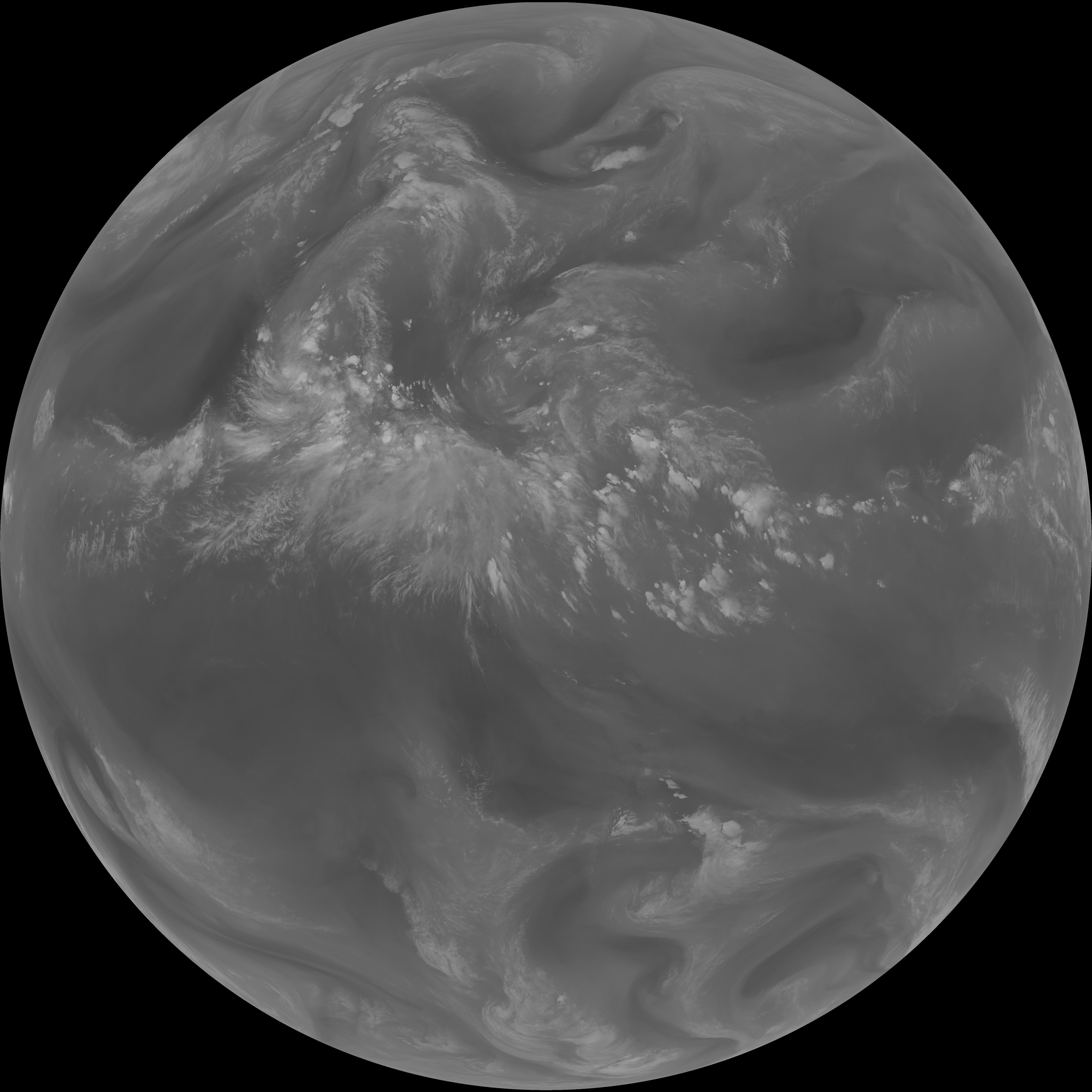
| abi_rgb_Dirty_Longwave_Window_map.png | 13877705 | 2026-Jun-07 23:58 |
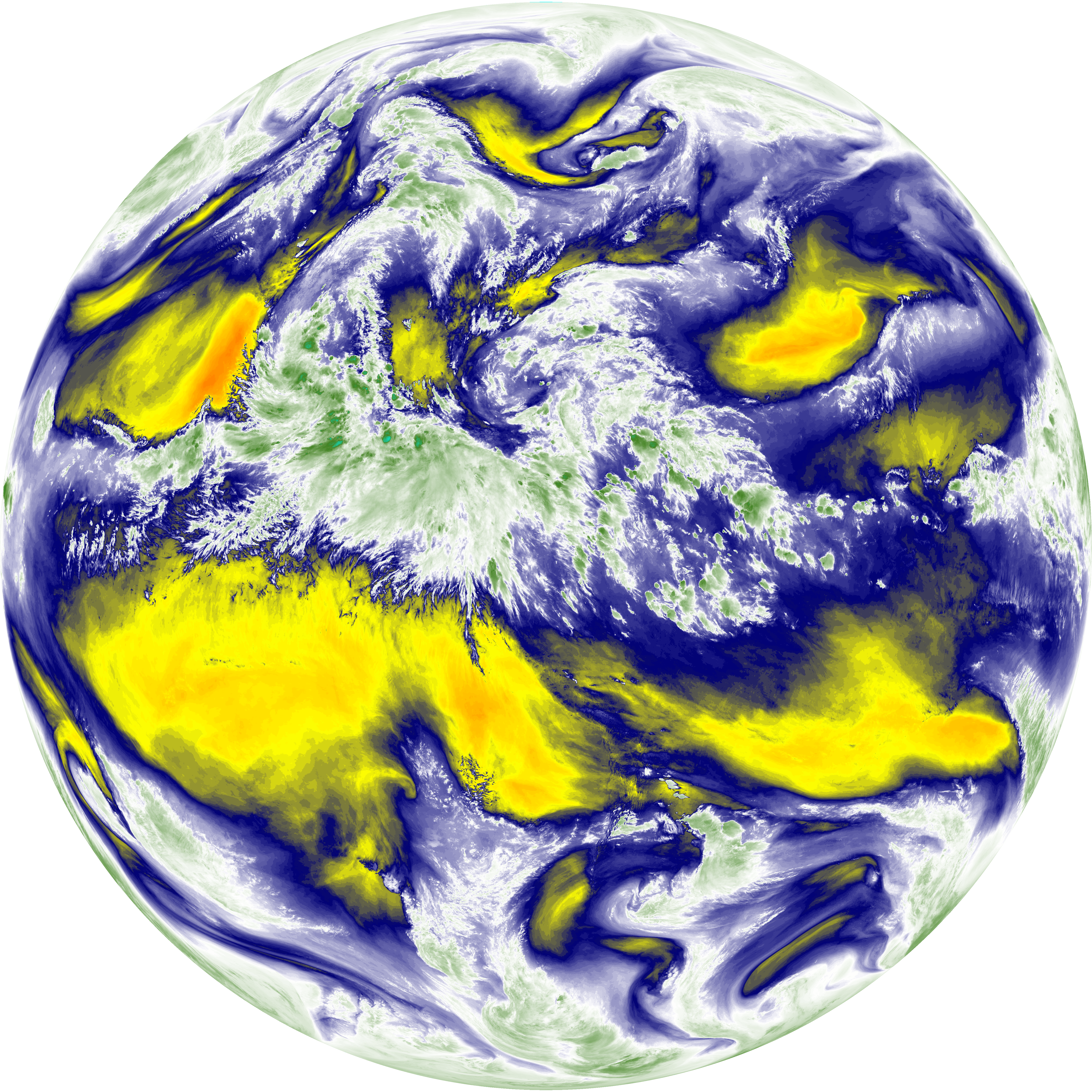
| abi_rgb_Dirty_Longwave_Window.png | 13833778 | 2026-Jun-07 23:58 |
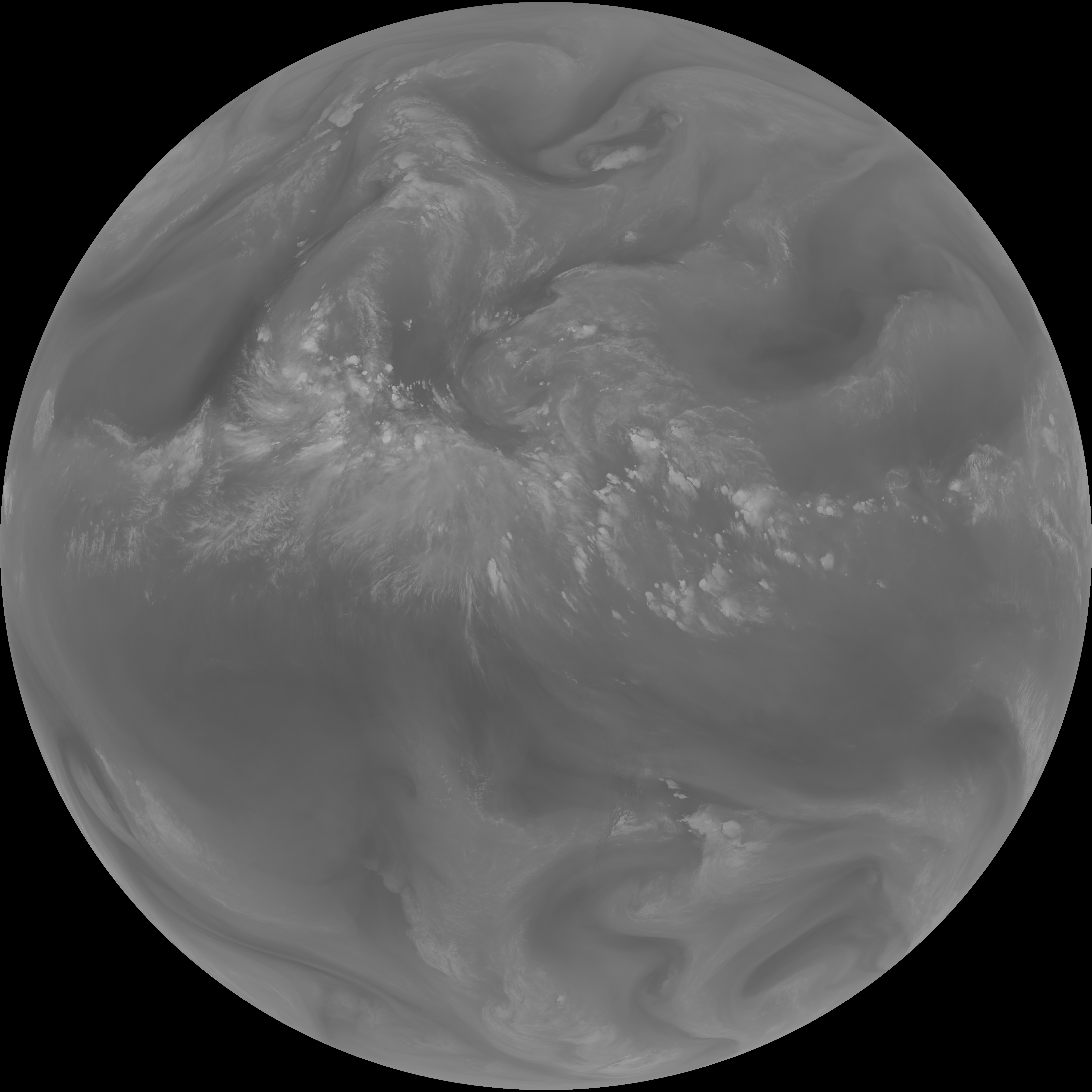
| abi_rgb_Dirty_Longwave_Window_-_CIRA_map.png | 12254526 | 2026-Jun-07 23:58 |
| abi_rgb_Dirty_Longwave_Window_-_CIRA.png | 12198900 | 2026-Jun-07 23:58 |
| G19_7_20260607T233021Z.png | 10825308 | 2026-Jun-07 23:43 |
| G19_14_20260607T233021Z.png | 10542437 | 2026-Jun-07 23:55 |
| G19_13_20260607T233021Z.png | 10386816 | 2026-Jun-07 23:46 |
| G19_15_20260607T233021Z.png | 10286757 | 2026-Jun-07 23:58 |
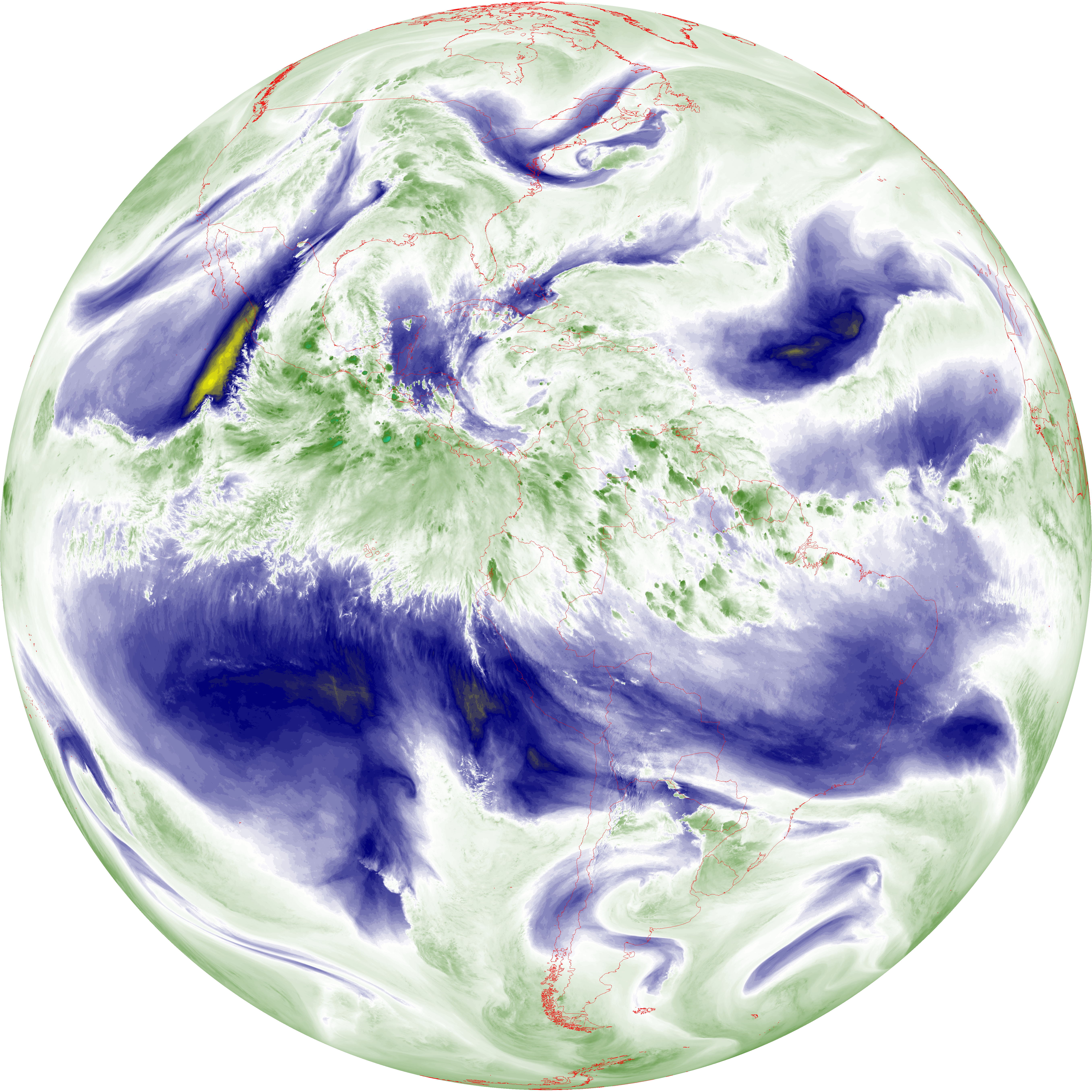
| abi_rgb_Mid-level_Tropospheric_Water_Vapor_map.png | 9229720 | 2026-Jun-07 23:52 |
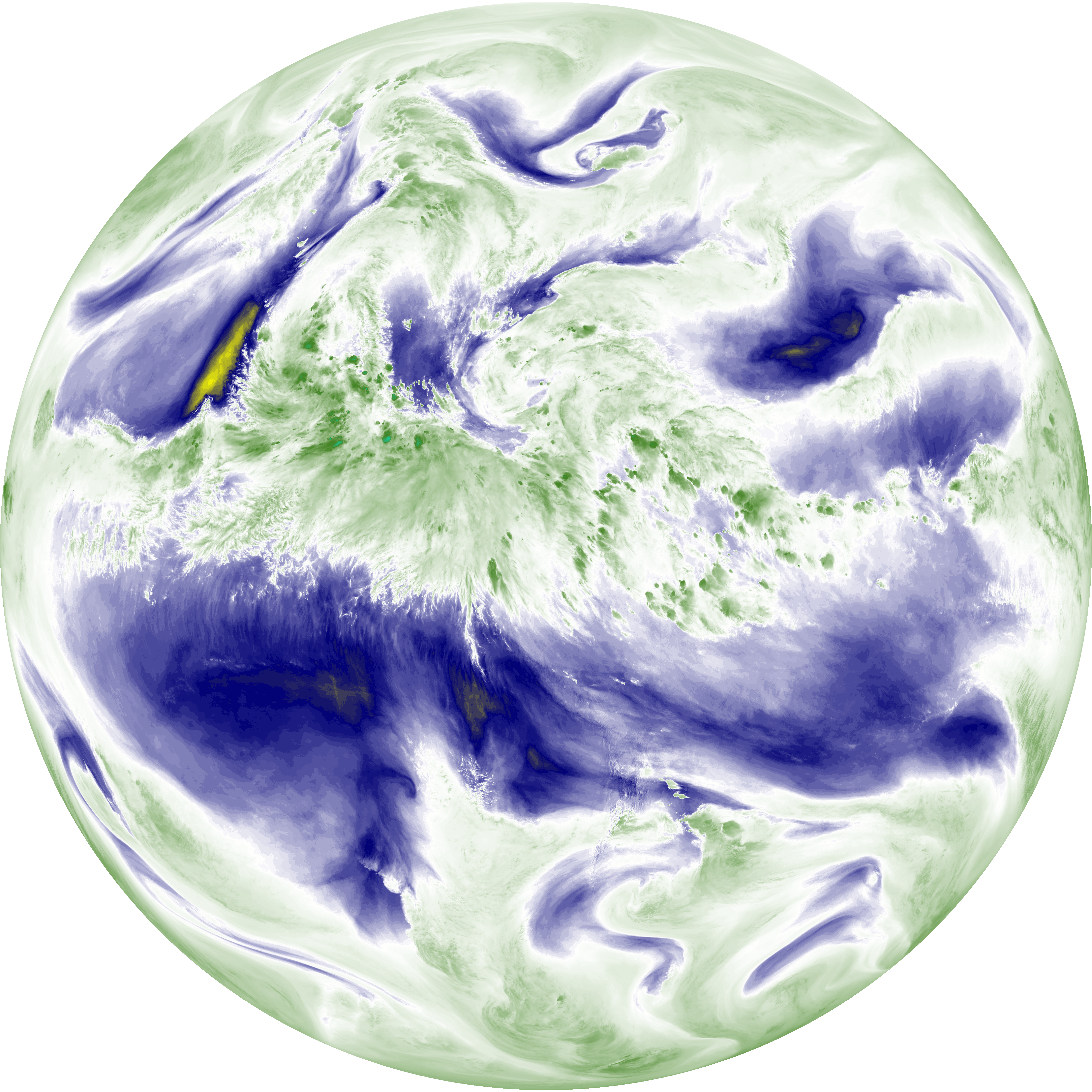
| abi_rgb_Mid-level_Tropospheric_Water_Vapor.png | 9134012 | 2026-Jun-07 23:52 |
| abi_rgb_Upper-Level_Tropospheric_Water_Vapor_map.png | 7968590 | 2026-Jun-07 23:50 |
| abi_rgb_Upper-Level_Tropospheric_Water_Vapor.png | 7862764 | 2026-Jun-07 23:50 |
| G19_9_20260607T233021Z.png | 6789993 | 2026-Jun-07 23:52 |
| G19_2_20260607T233021Z.png | 6017041 | 2026-Jun-07 23:48 |
| G19_8_20260607T233021Z.png | 5861032 | 2026-Jun-07 23:49 |