| Parent directory/ | - | - |
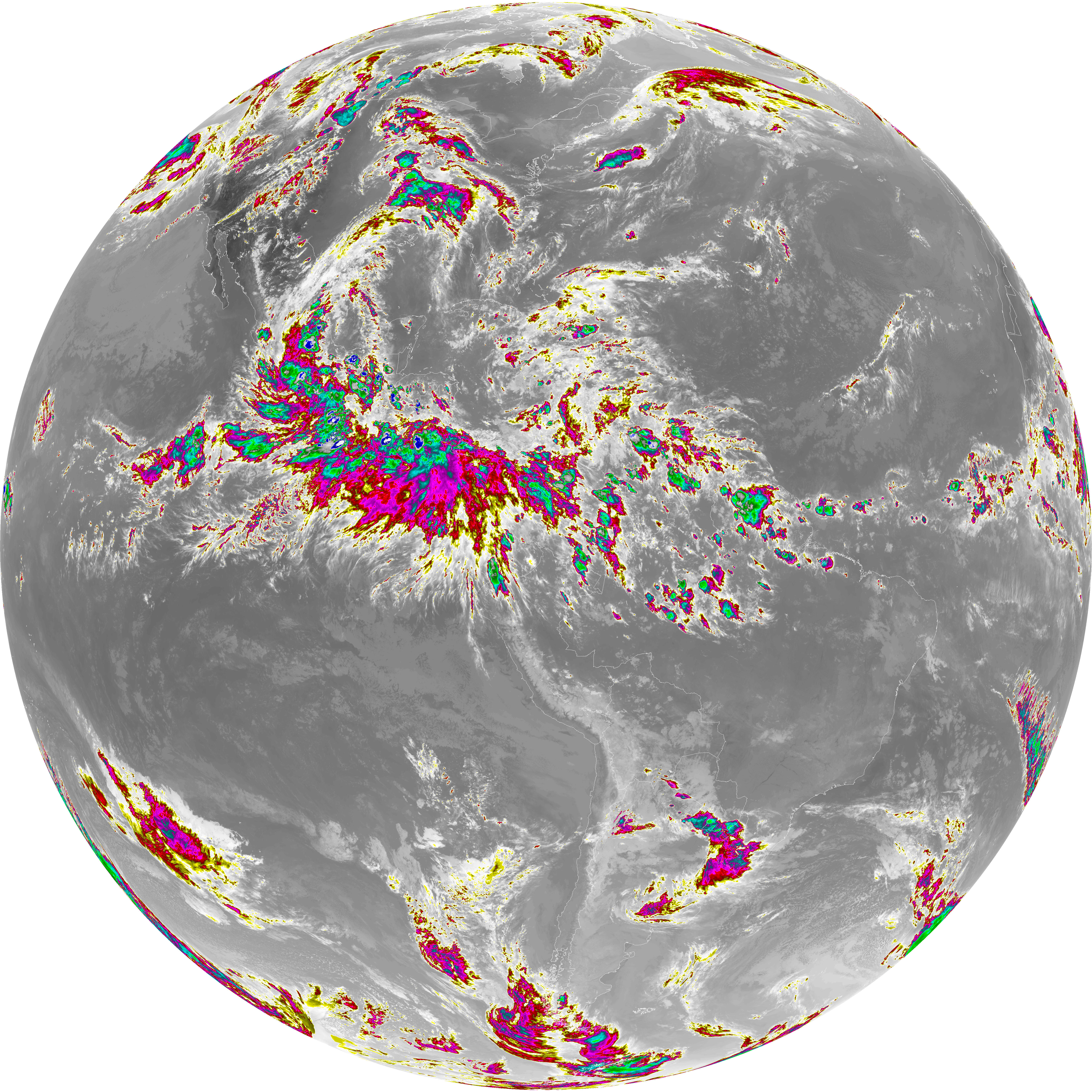
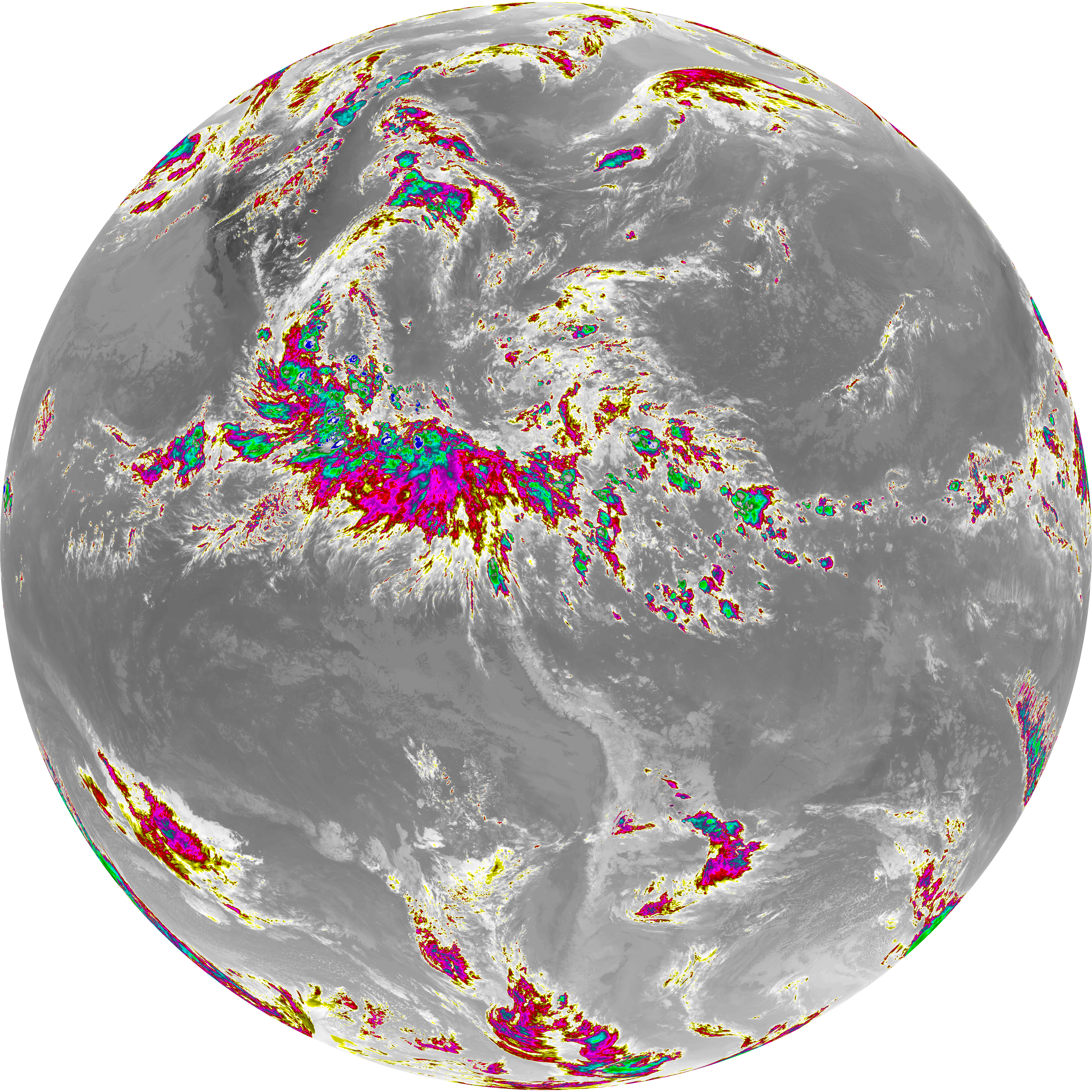
| abi_rgb_Dirty_Longwave_Window_-_CIRA_map.png | 12185589 | 2026-Jun-08 00:28 |
| abi_rgb_Dirty_Longwave_Window_-_CIRA.png | 12128761 | 2026-Jun-08 00:28 |
| abi_rgb_Dirty_Longwave_Window_map.png | 13811457 | 2026-Jun-08 00:28 |
| abi_rgb_Dirty_Longwave_Window.png | 13766508 | 2026-Jun-08 00:28 |
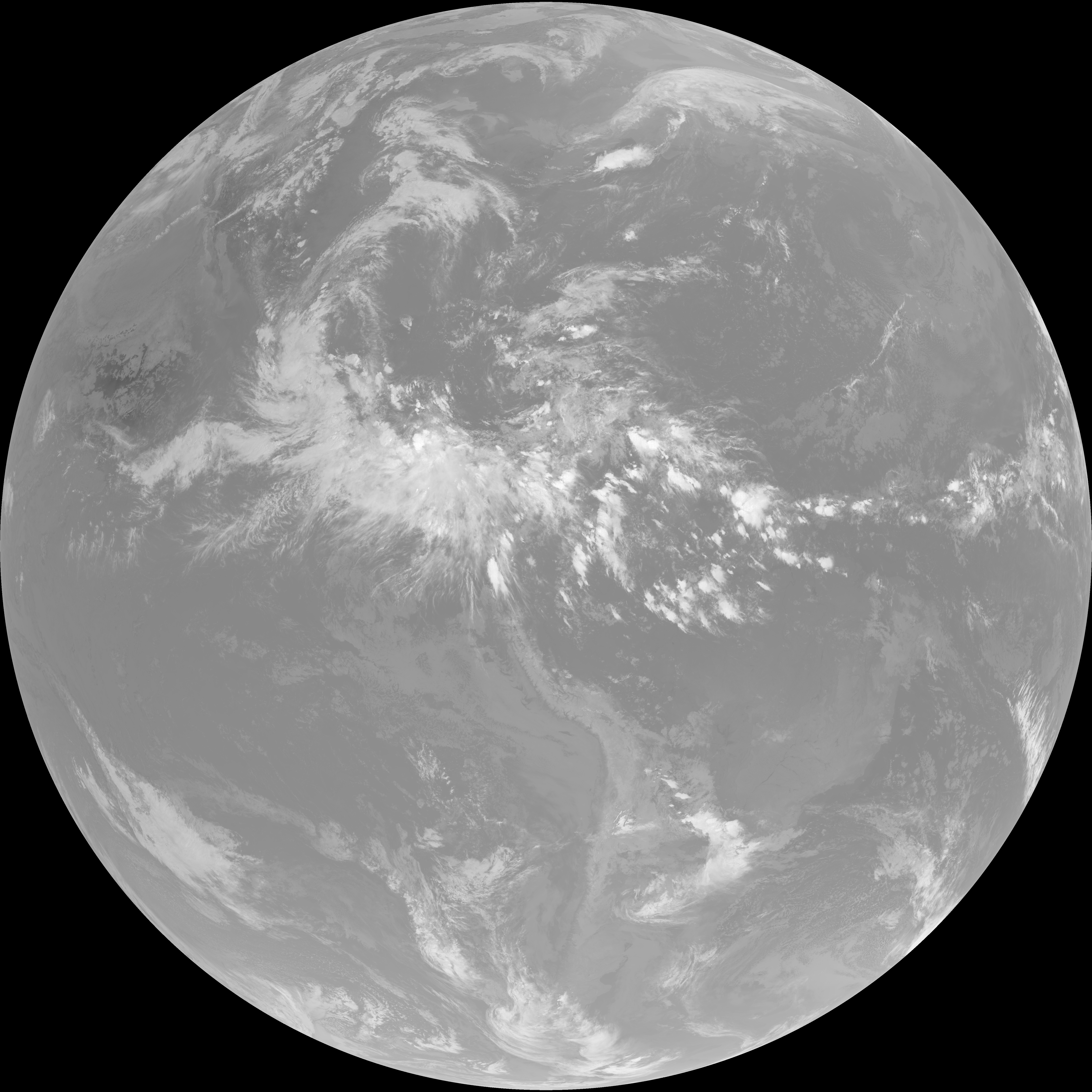
| G19_15_20260608T000021Z.png | 10237648 | 2026-Jun-08 00:28 |
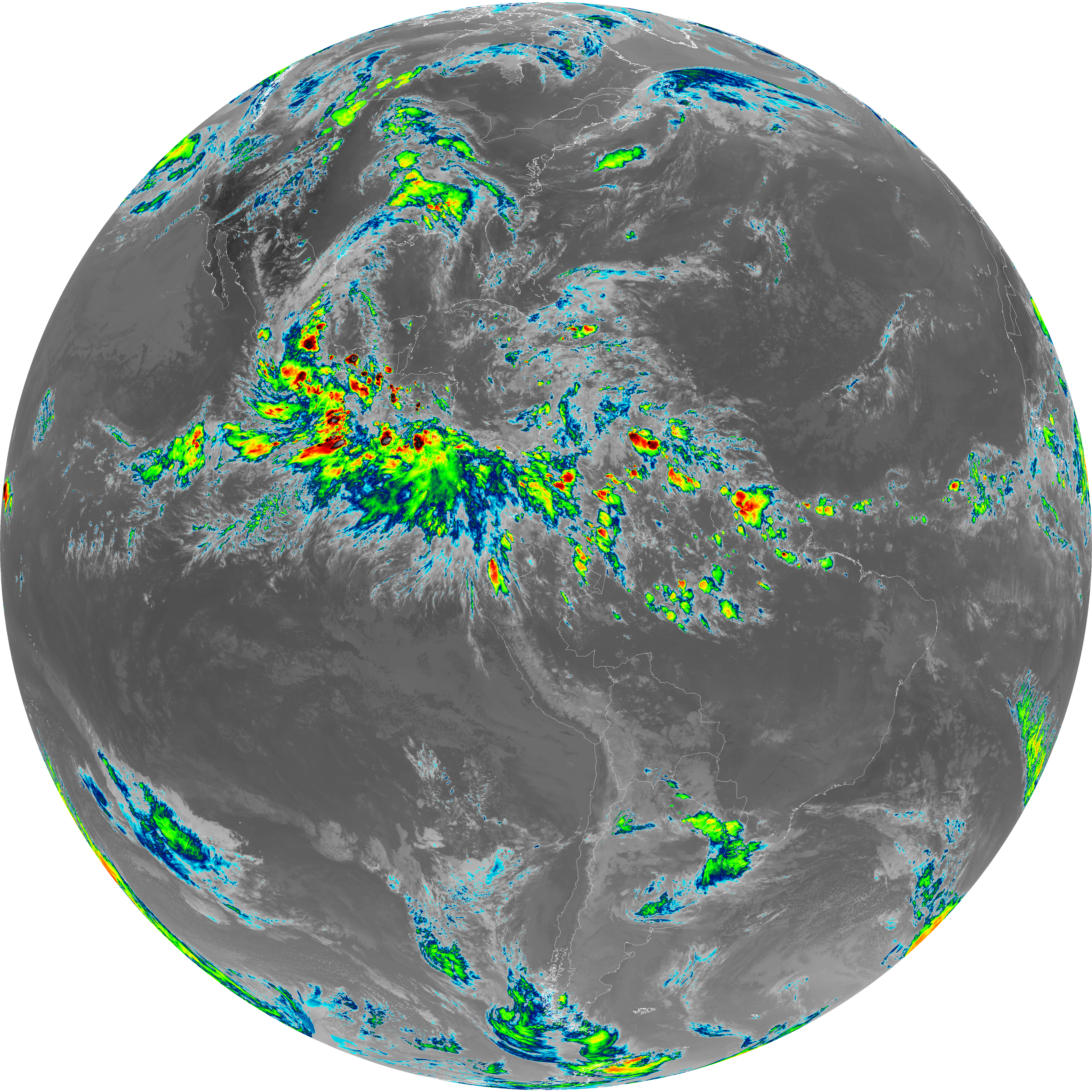
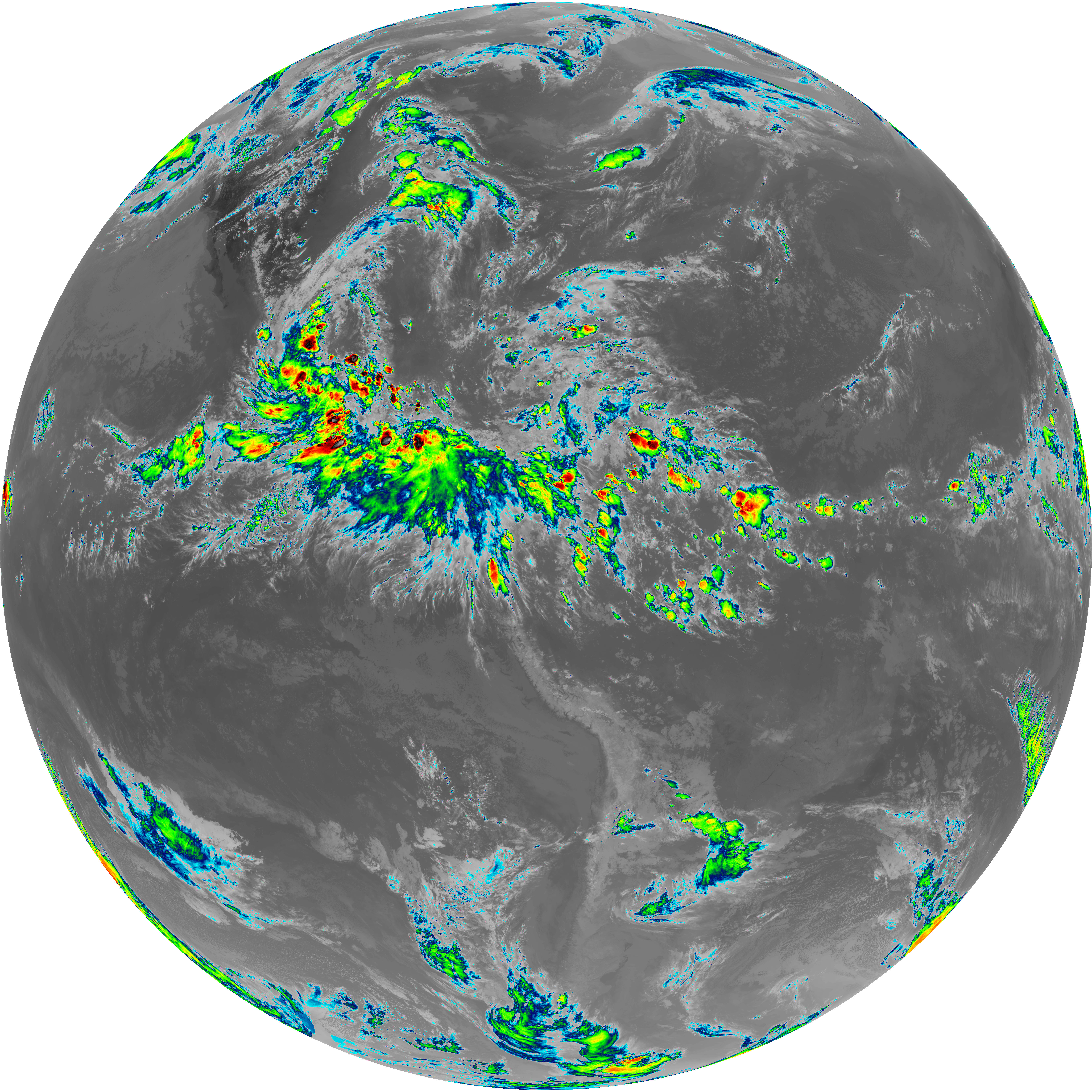
| abi_rgb_Infrared_Longwave_Window_Band_map.png | 14104523 | 2026-Jun-08 00:25 |
| abi_rgb_Infrared_Longwave_Window_Band.png | 14062068 | 2026-Jun-08 00:25 |
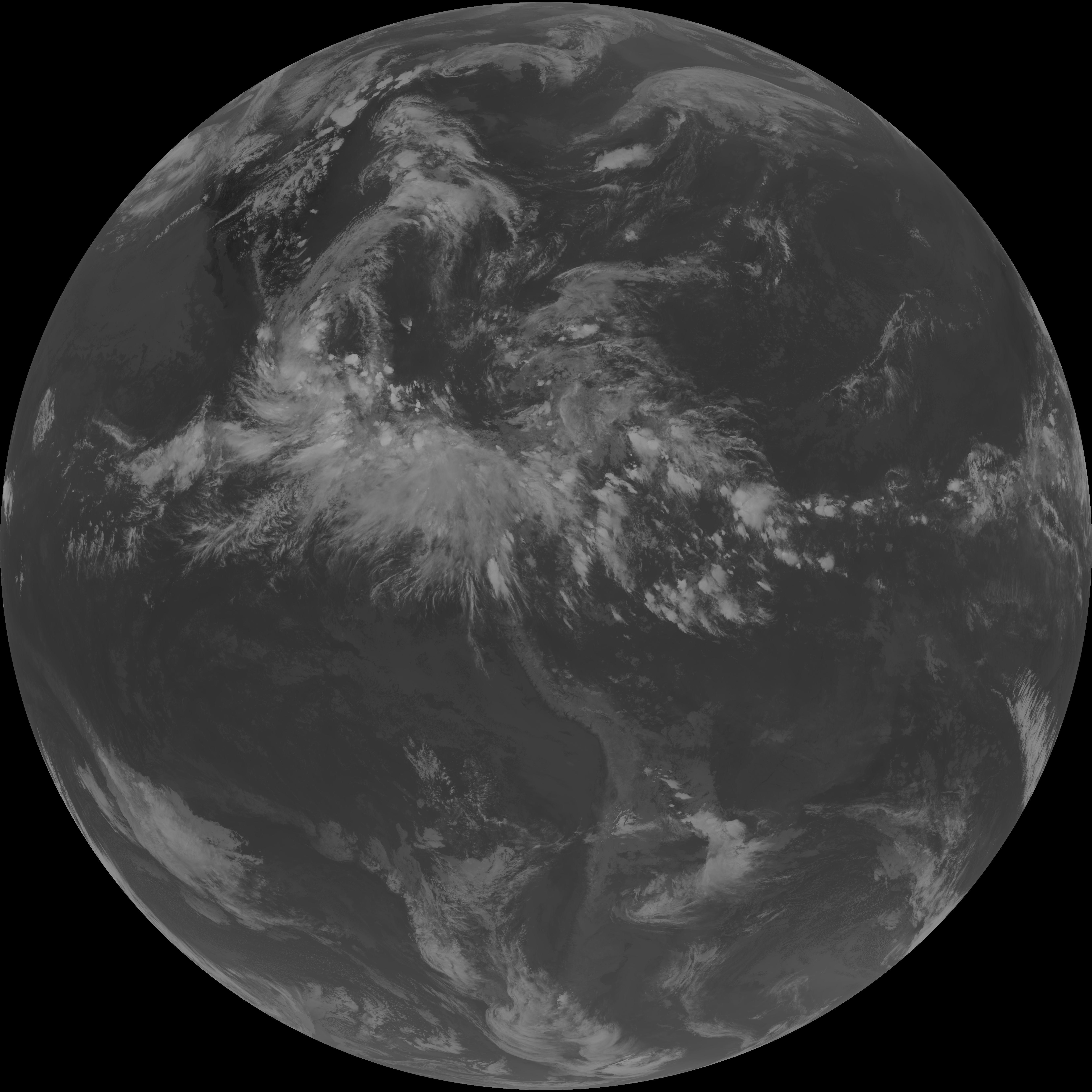
| G19_14_20260608T000021Z.png | 10492104 | 2026-Jun-08 00:25 |
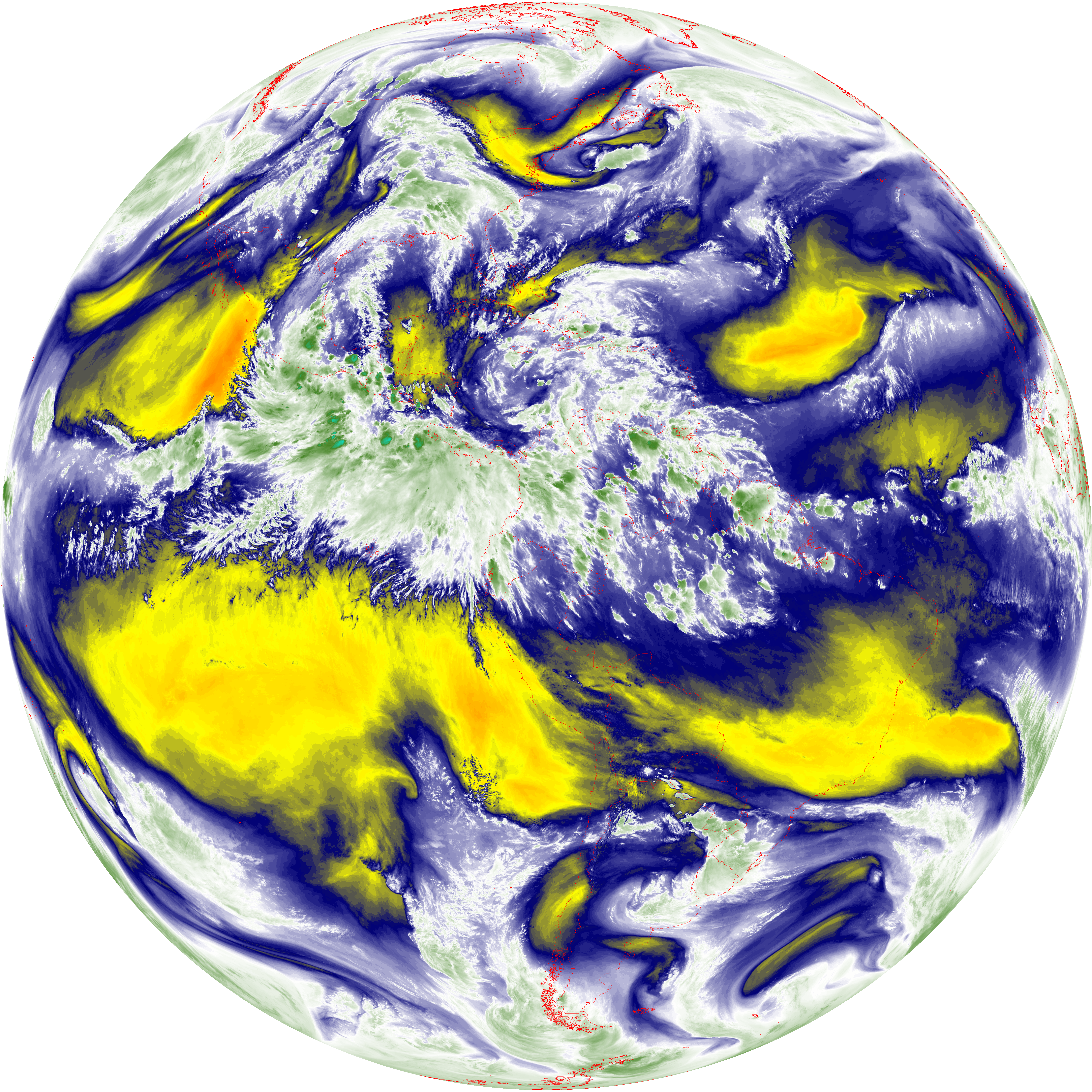
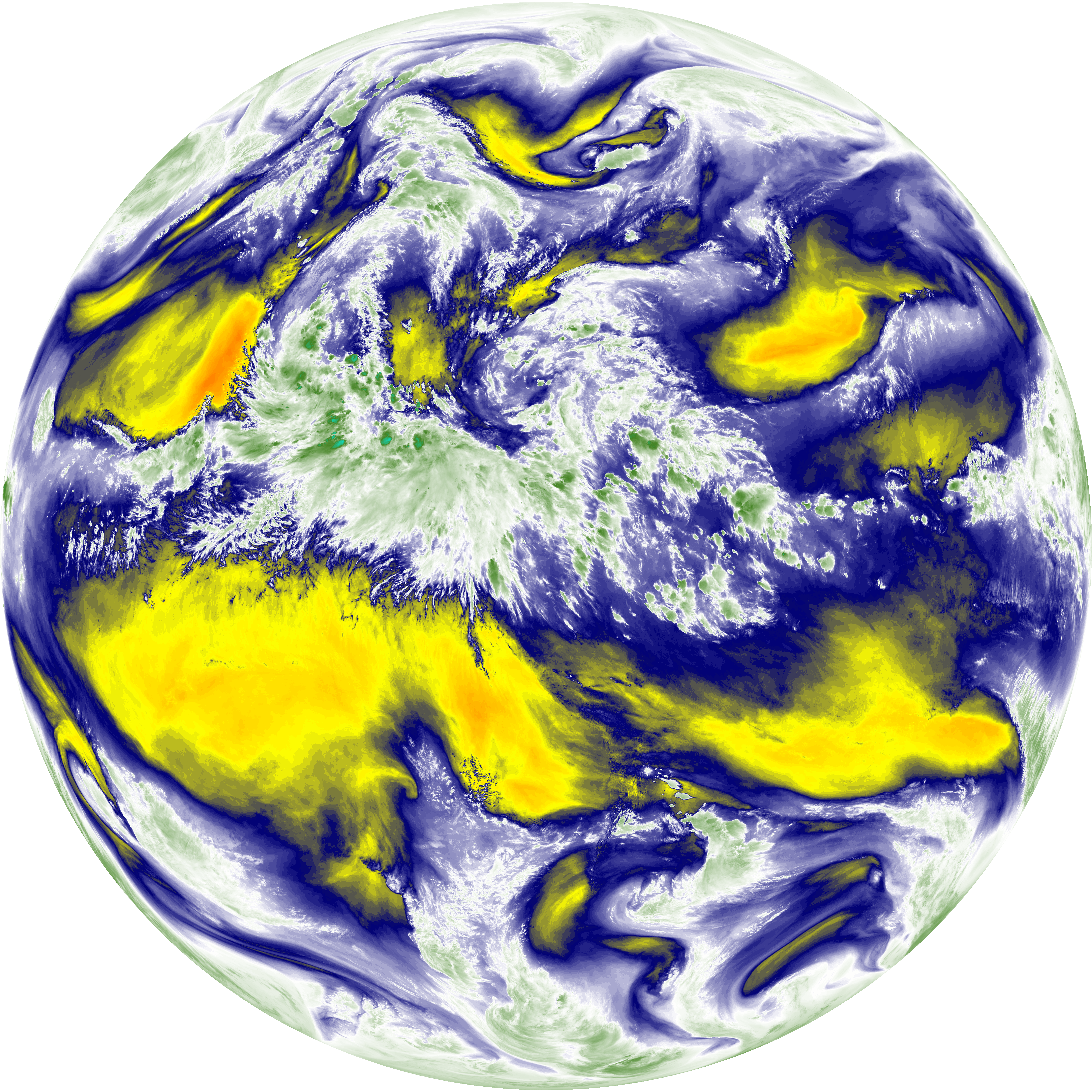
| abi_rgb_Mid-level_Tropospheric_Water_Vapor_map.png | 9155126 | 2026-Jun-08 00:22 |
| abi_rgb_Mid-level_Tropospheric_Water_Vapor.png | 9058678 | 2026-Jun-08 00:22 |
| G19_9_20260608T000021Z.png | 6732604 | 2026-Jun-08 00:22 |
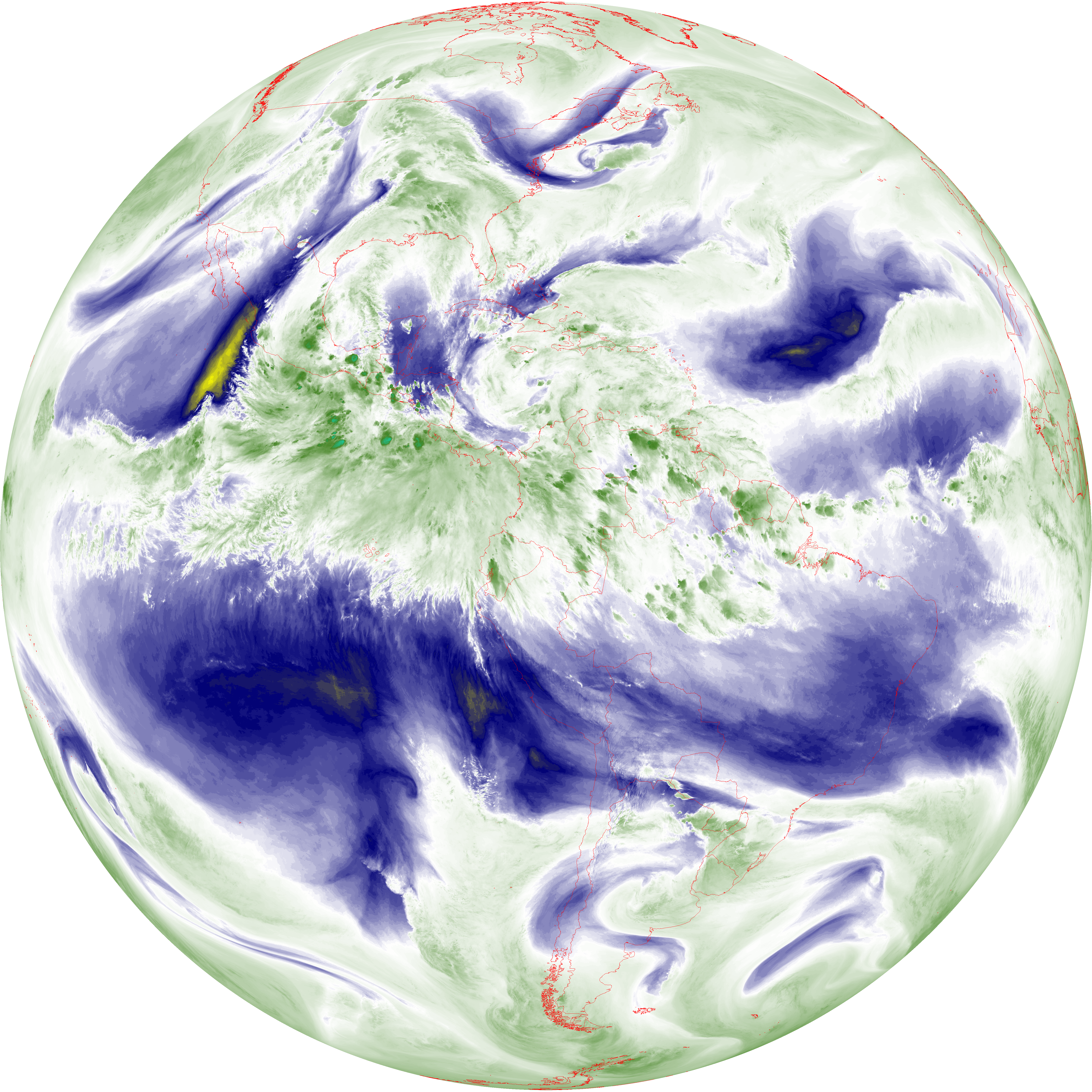
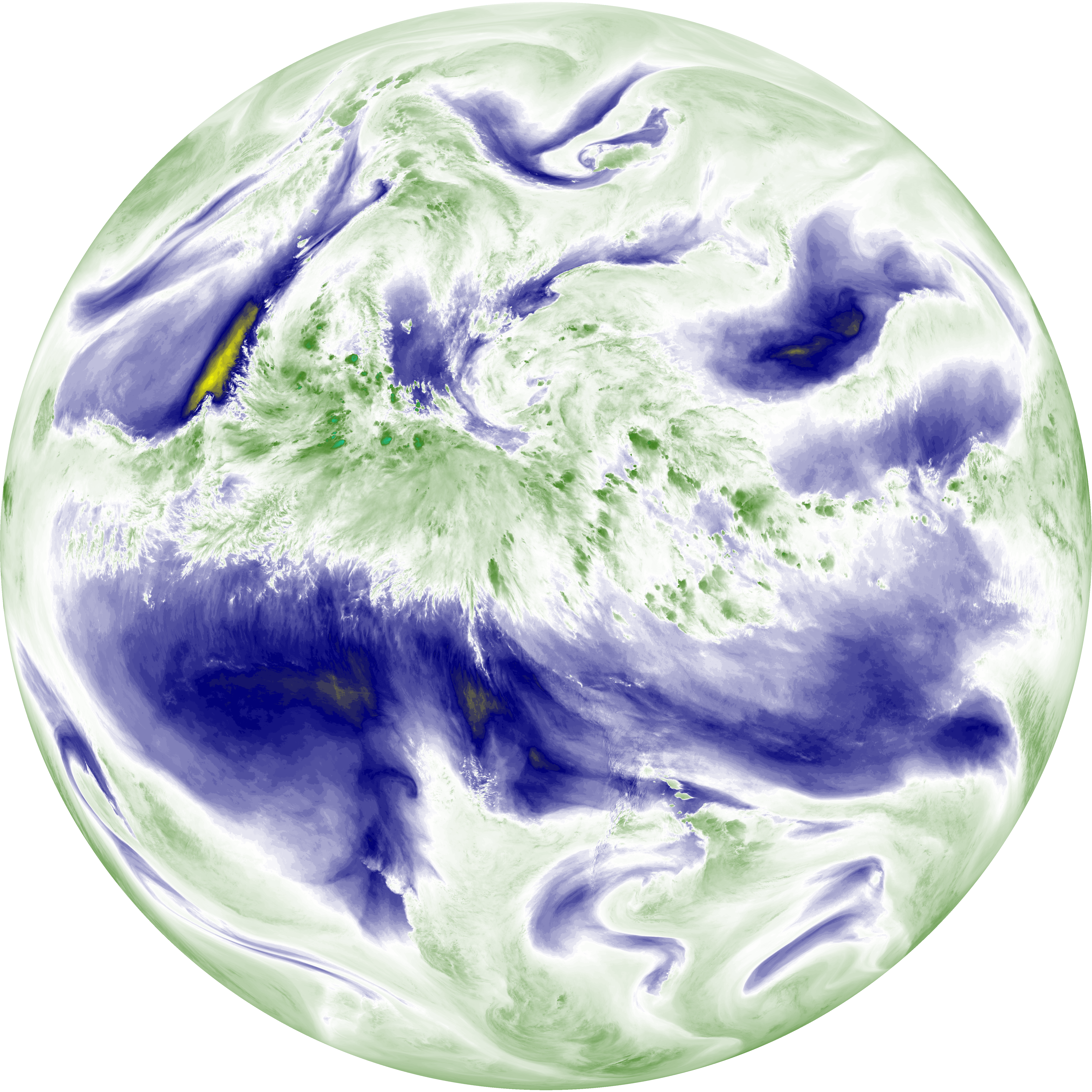
| abi_rgb_Upper-Level_Tropospheric_Water_Vapor_map.png | 7911219 | 2026-Jun-08 00:20 |
| abi_rgb_Upper-Level_Tropospheric_Water_Vapor.png | 7803541 | 2026-Jun-08 00:20 |
| G19_8_20260608T000021Z.png | 5814855 | 2026-Jun-08 00:20 |
| G19_2_20260608T000021Z.png | 5119171 | 2026-Jun-08 00:18 |
| abi_rgb_Clean_Longwave_IR_Window_Band_map.png | 13923974 | 2026-Jun-08 00:16 |
| abi_rgb_Clean_Longwave_IR_Window_Band.png | 13881030 | 2026-Jun-08 00:16 |
| G19_13_20260608T000021Z.png | 10335998 | 2026-Jun-08 00:16 |
| abi_rgb_Shortwave_Window_Band_map.png | 14902819 | 2026-Jun-08 00:13 |
| abi_rgb_Shortwave_Window_Band.png | 14847446 | 2026-Jun-08 00:13 |
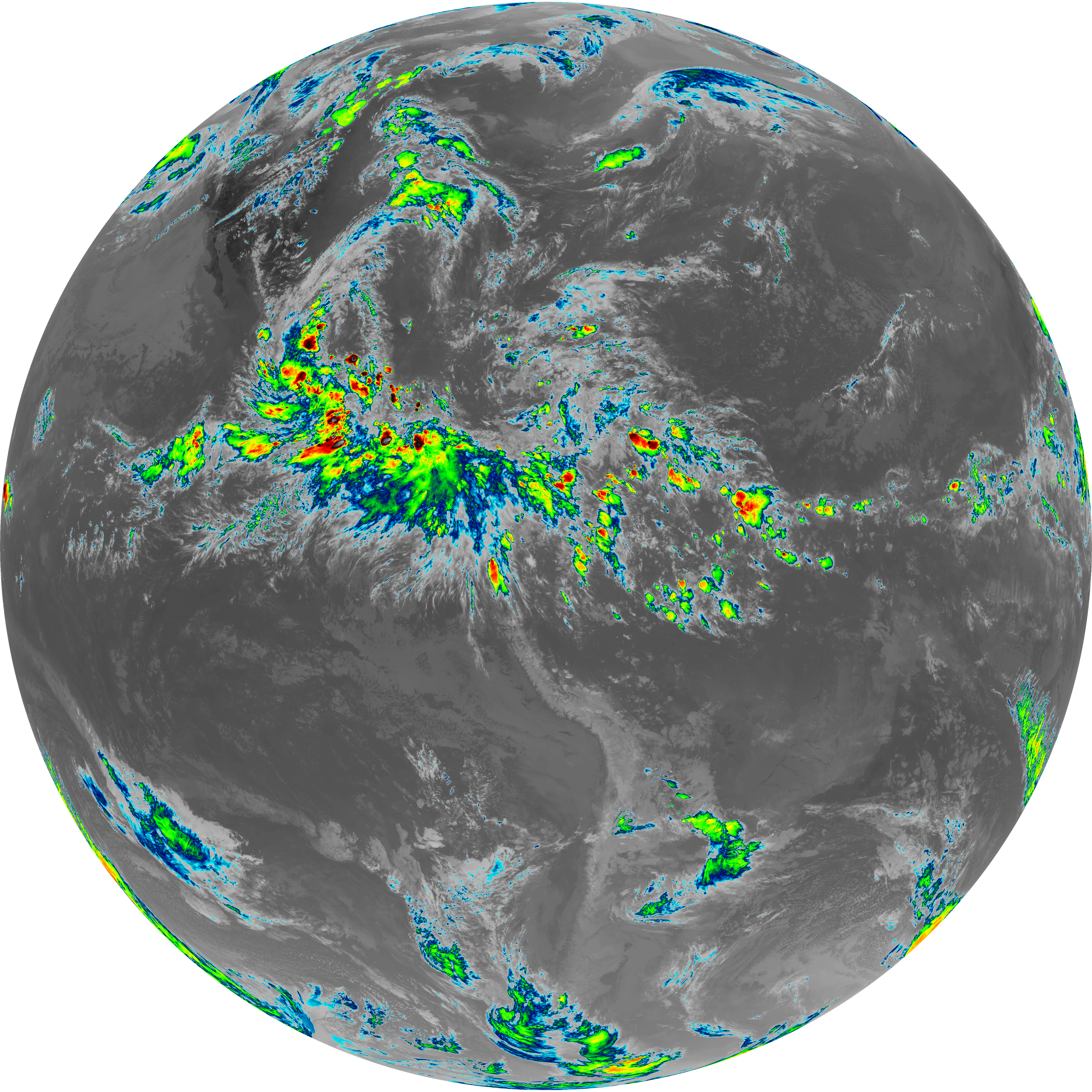
| G19_7_20260608T000021Z.png | 10903884 | 2026-Jun-08 00:13 |