| Parent directory/ | - | - |
| G19_7_20260608T003021Z.png | 10988455 | 2026-Jun-08 00:43 |
| abi_rgb_Shortwave_Window_Band.png | 14953968 | 2026-Jun-08 00:43 |
| abi_rgb_Shortwave_Window_Band_map.png | 15008712 | 2026-Jun-08 00:43 |
| G19_13_20260608T003021Z.png | 10281917 | 2026-Jun-08 00:46 |
| abi_rgb_Clean_Longwave_IR_Window_Band.png | 13811685 | 2026-Jun-08 00:46 |
| abi_rgb_Clean_Longwave_IR_Window_Band_map.png | 13855722 | 2026-Jun-08 00:46 |
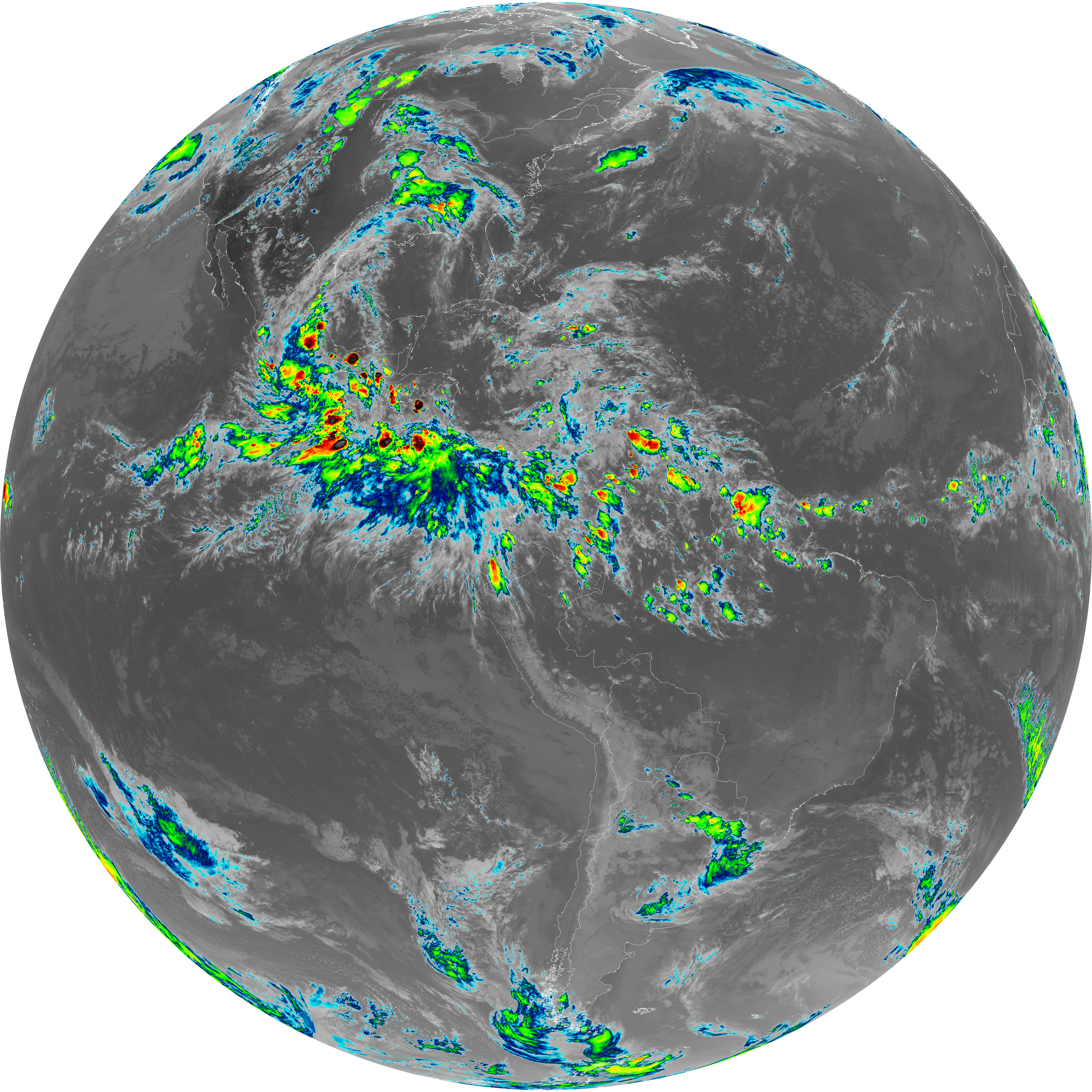
| G19_2_20260608T003021Z.png | 4296768 | 2026-Jun-08 00:47 |
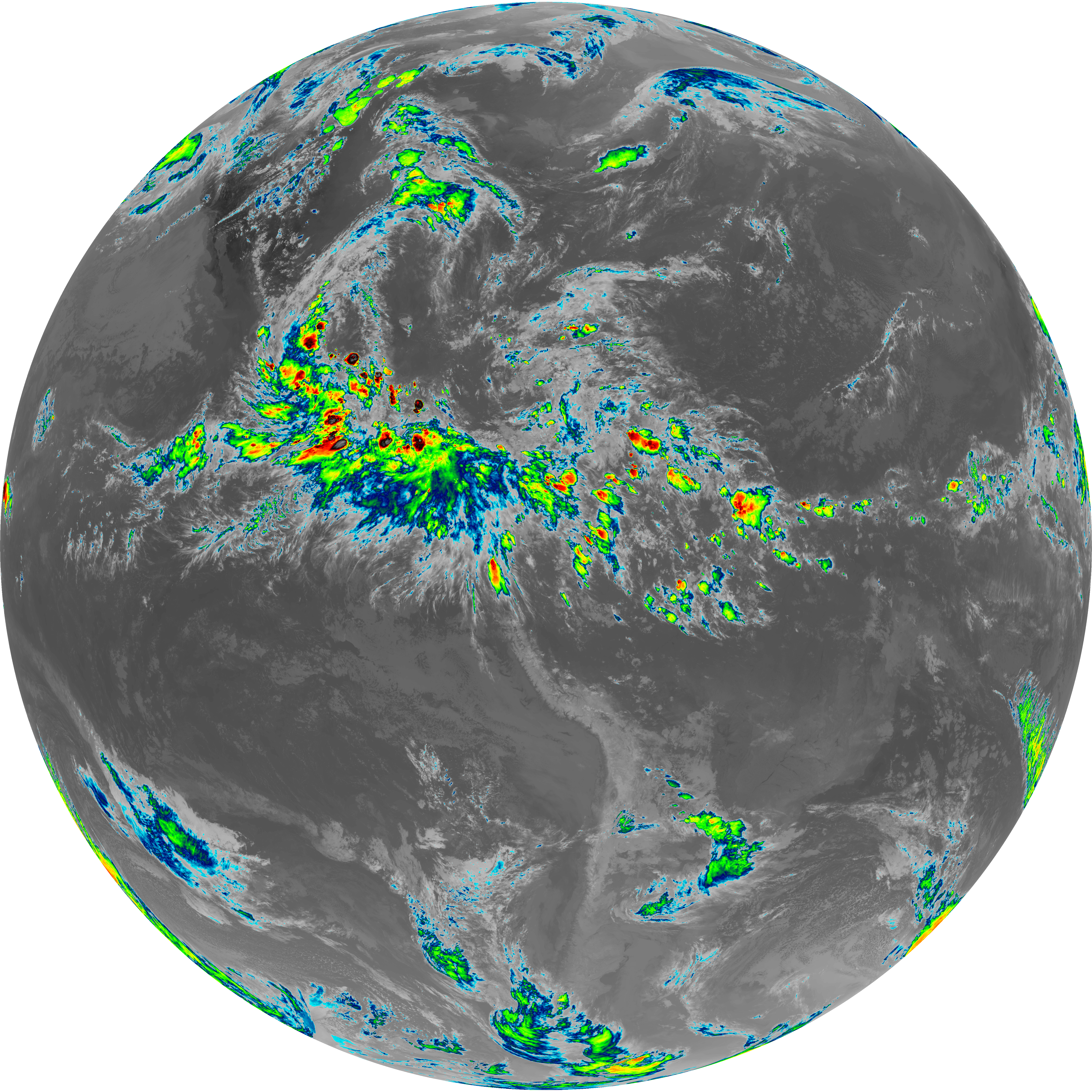
| G19_8_20260608T003021Z.png | 5755556 | 2026-Jun-08 00:49 |
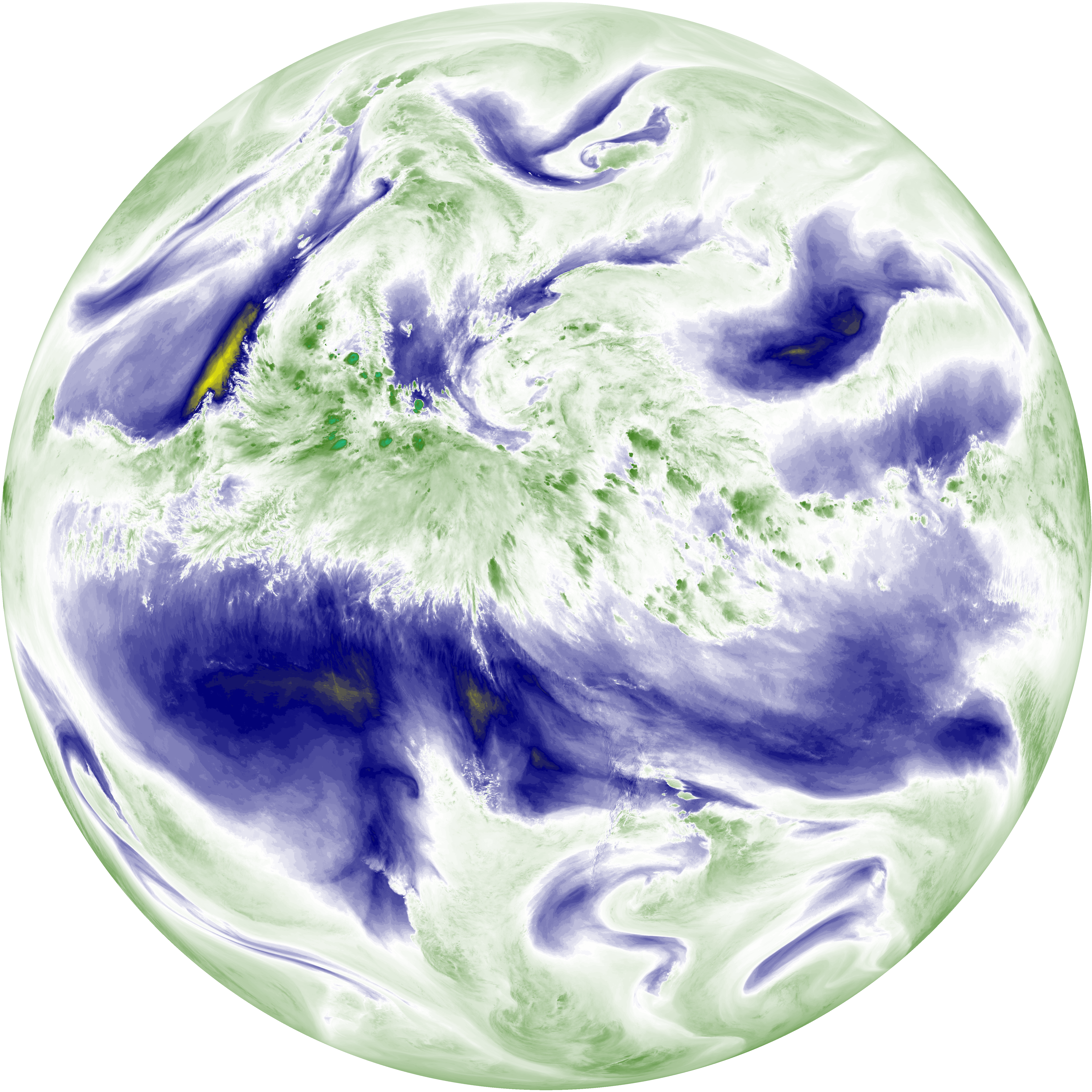
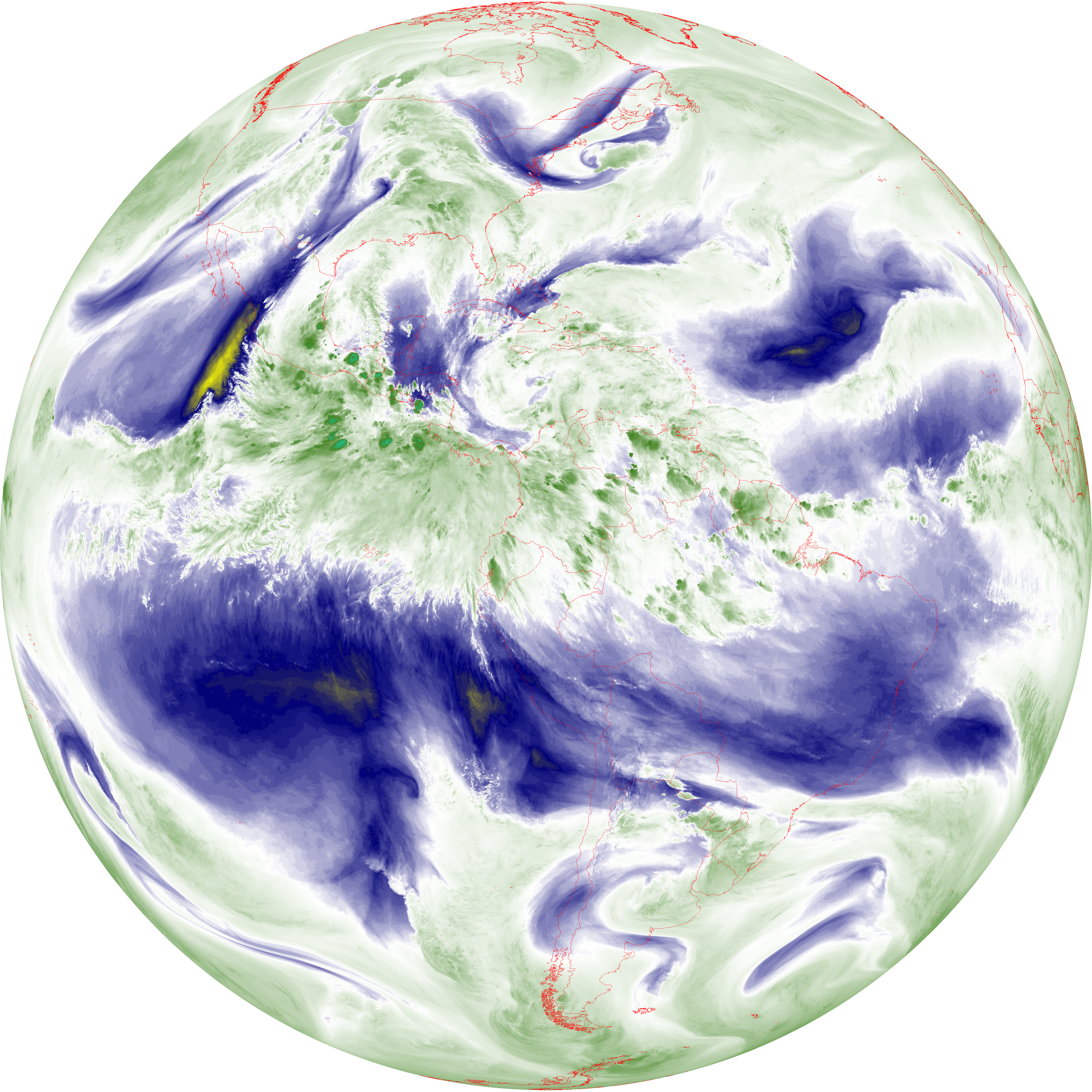
| abi_rgb_Upper-Level_Tropospheric_Water_Vapor.png | 7729752 | 2026-Jun-08 00:49 |
| abi_rgb_Upper-Level_Tropospheric_Water_Vapor_map.png | 7838464 | 2026-Jun-08 00:49 |
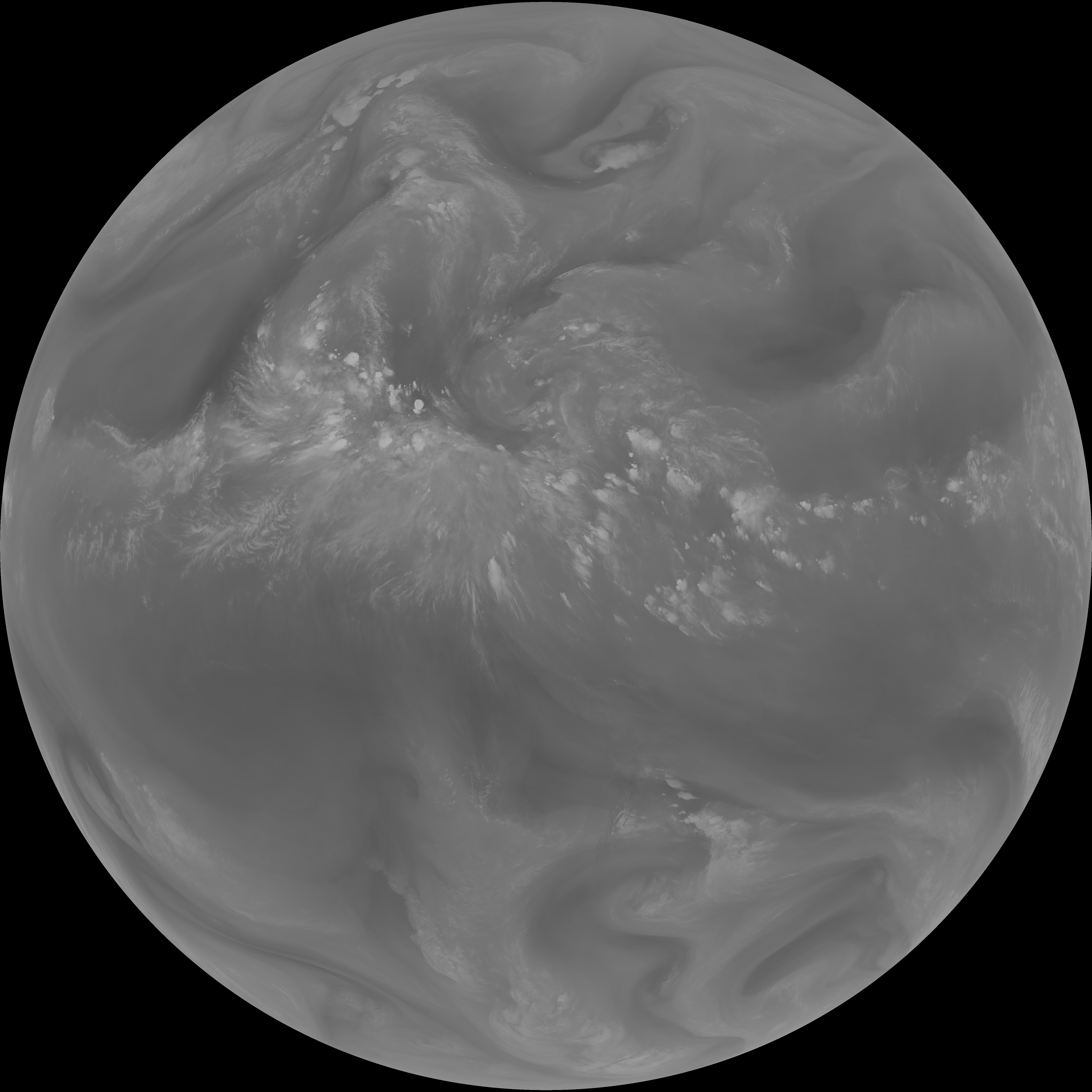
| G19_9_20260608T003021Z.png | 6678565 | 2026-Jun-08 00:51 |
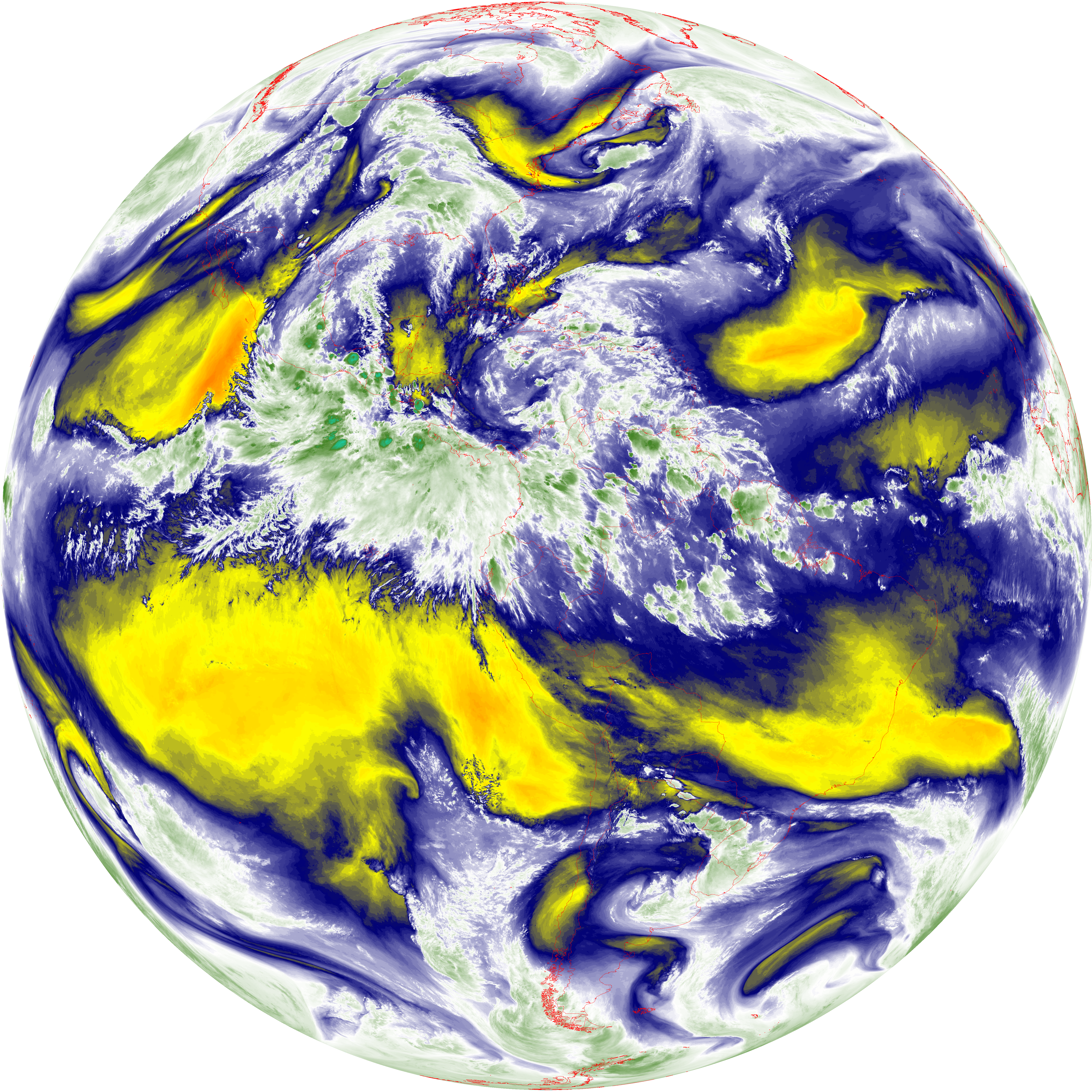
| abi_rgb_Mid-level_Tropospheric_Water_Vapor.png | 8987031 | 2026-Jun-08 00:51 |
| abi_rgb_Mid-level_Tropospheric_Water_Vapor_map.png | 9084069 | 2026-Jun-08 00:51 |
| G19_14_20260608T003021Z.png | 10438373 | 2026-Jun-08 00:54 |
| abi_rgb_Infrared_Longwave_Window_Band.png | 13991394 | 2026-Jun-08 00:54 |
| abi_rgb_Infrared_Longwave_Window_Band_map.png | 14035219 | 2026-Jun-08 00:54 |
| G19_15_20260608T003021Z.png | 10184956 | 2026-Jun-08 00:57 |
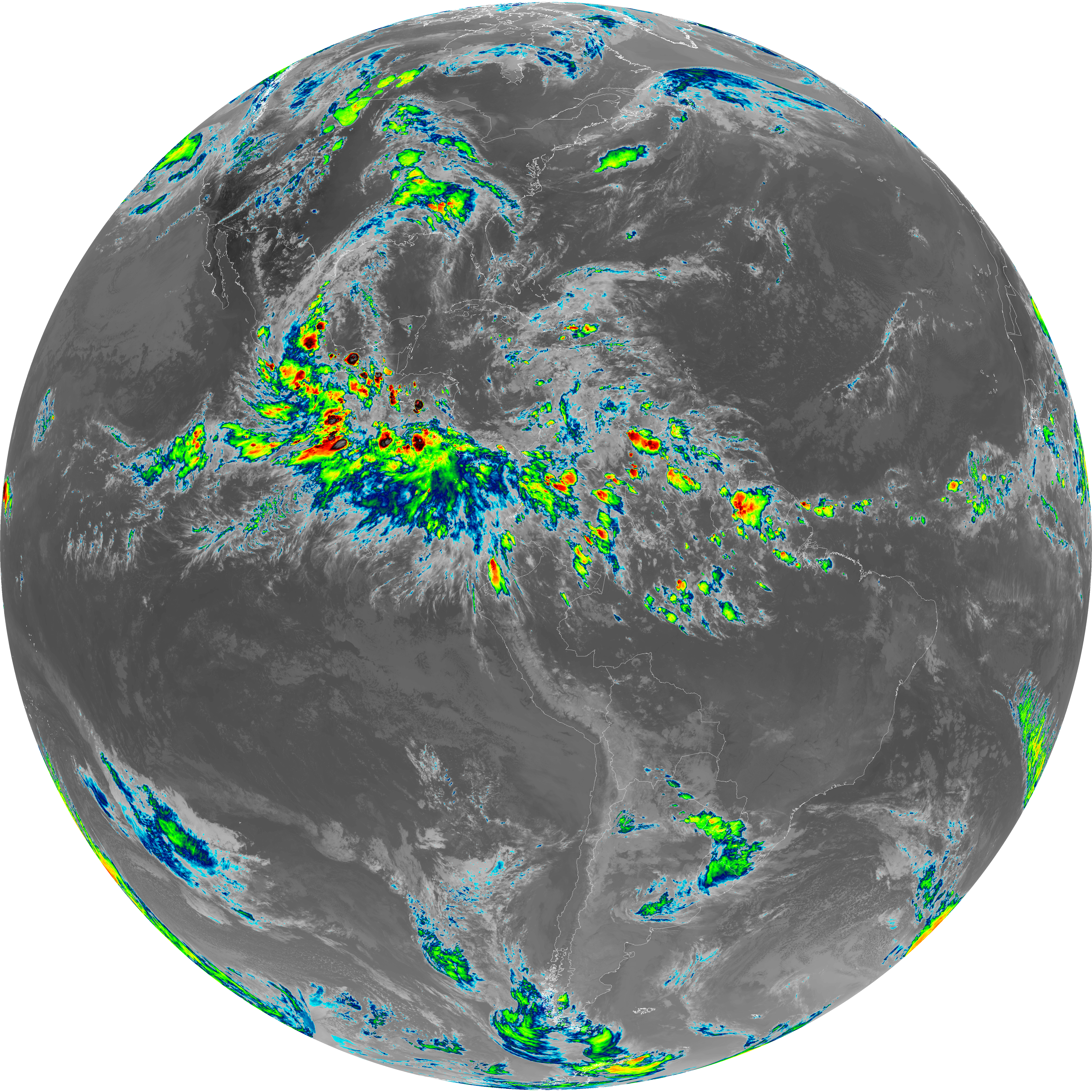
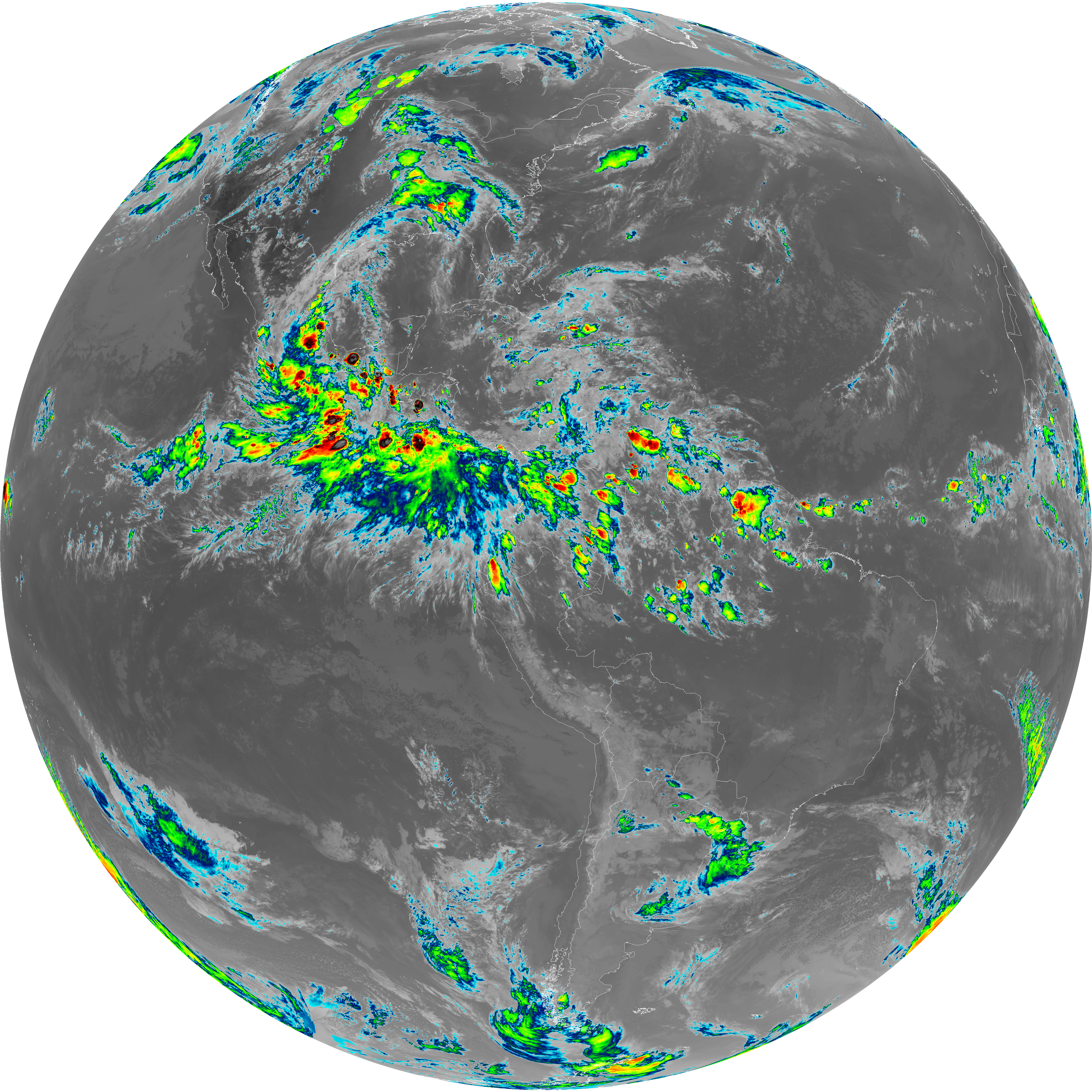
| abi_rgb_Dirty_Longwave_Window.png | 13692750 | 2026-Jun-08 00:57 |
| abi_rgb_Dirty_Longwave_Window_map.png | 13740002 | 2026-Jun-08 00:58 |
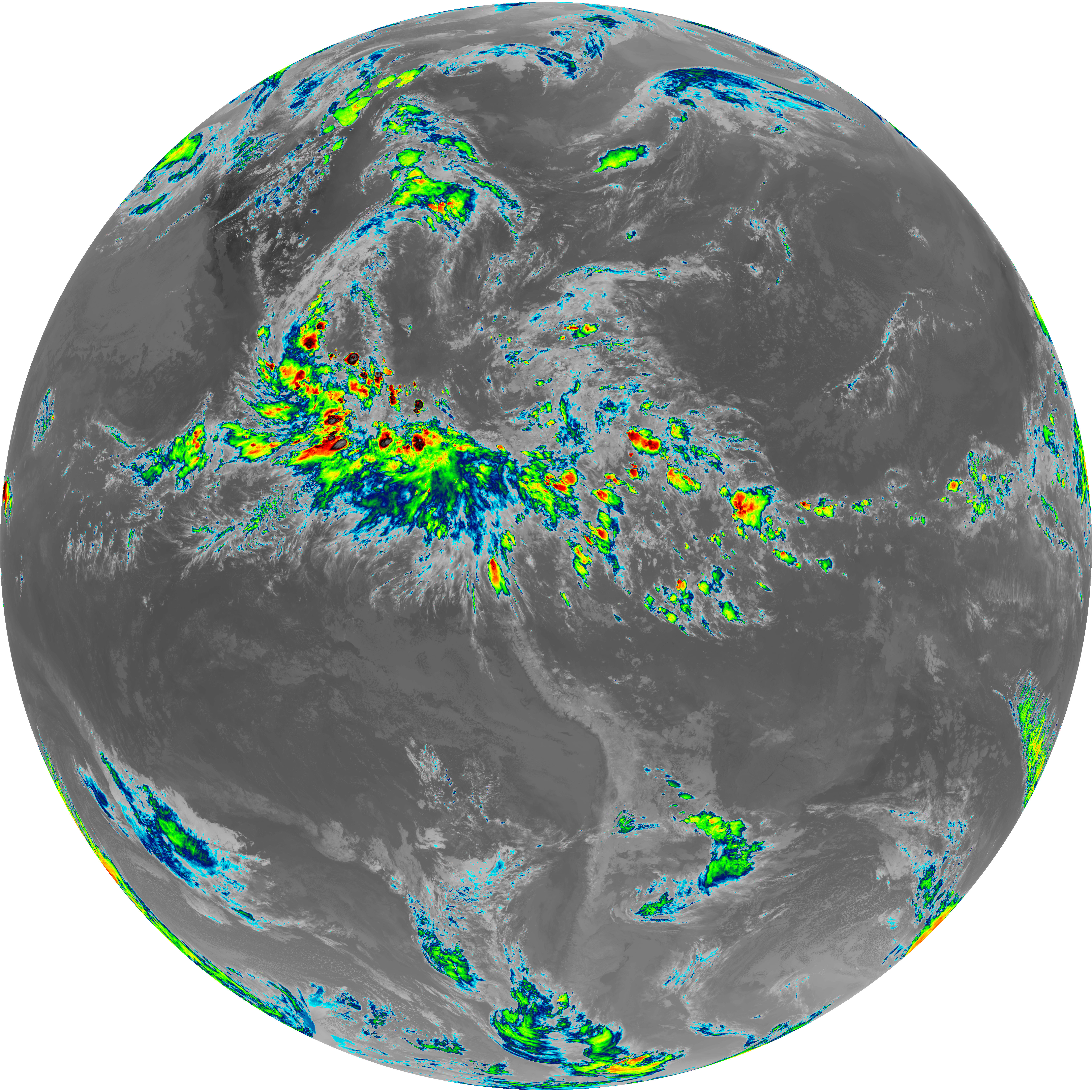
| abi_rgb_Dirty_Longwave_Window_-_CIRA.png | 12059098 | 2026-Jun-08 00:58 |
| abi_rgb_Dirty_Longwave_Window_-_CIRA_map.png | 12117751 | 2026-Jun-08 00:58 |