| Parent directory/ | - | - |
| abi_rgb_Shortwave_Window_Band_map.png | 15116417 | 2026-Jun-08 01:13 |
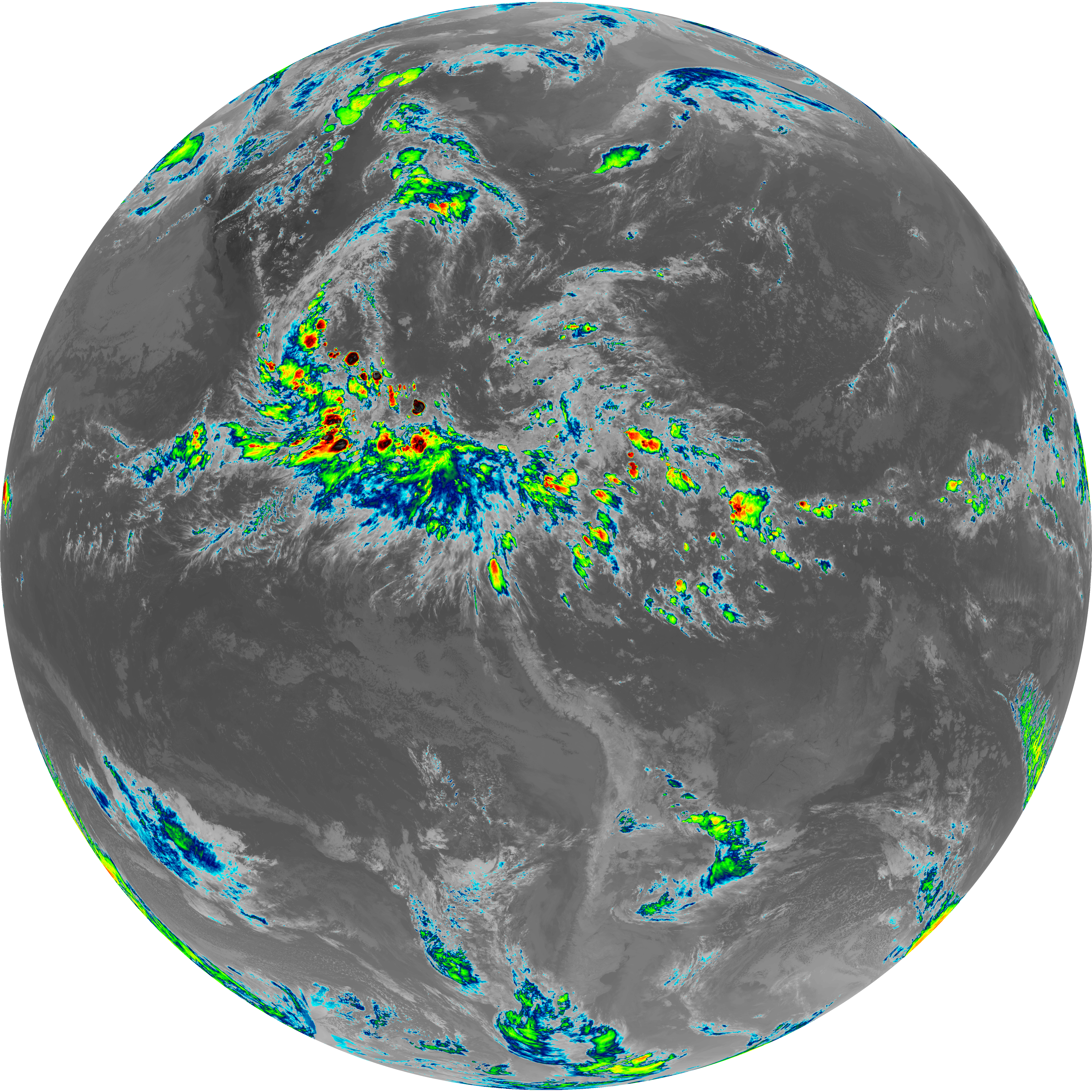
| abi_rgb_Shortwave_Window_Band.png | 15060859 | 2026-Jun-08 01:13 |
| abi_rgb_Infrared_Longwave_Window_Band_map.png | 13974527 | 2026-Jun-08 01:25 |
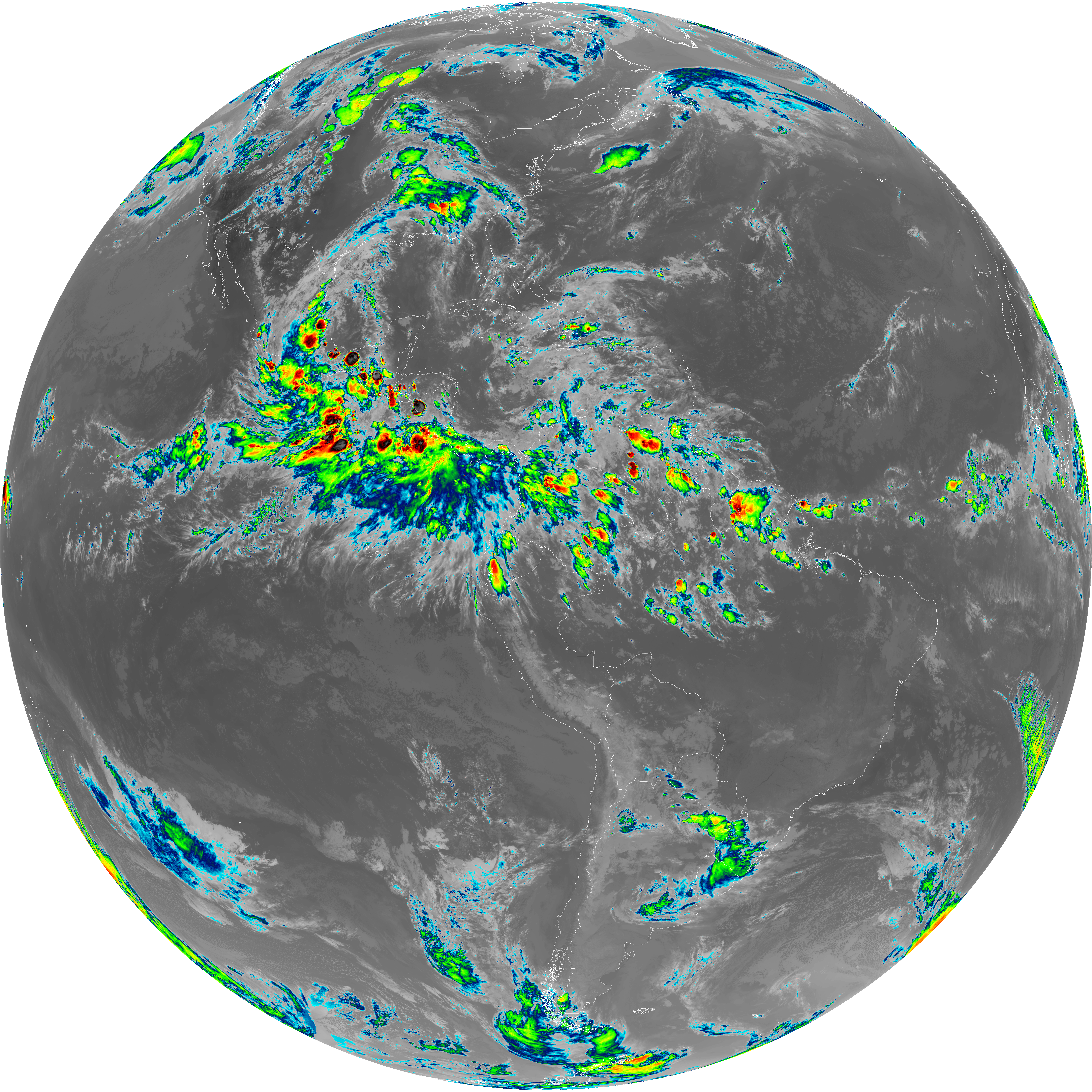
| abi_rgb_Infrared_Longwave_Window_Band.png | 13929779 | 2026-Jun-08 01:25 |
| abi_rgb_Clean_Longwave_IR_Window_Band_map.png | 13796845 | 2026-Jun-08 01:16 |
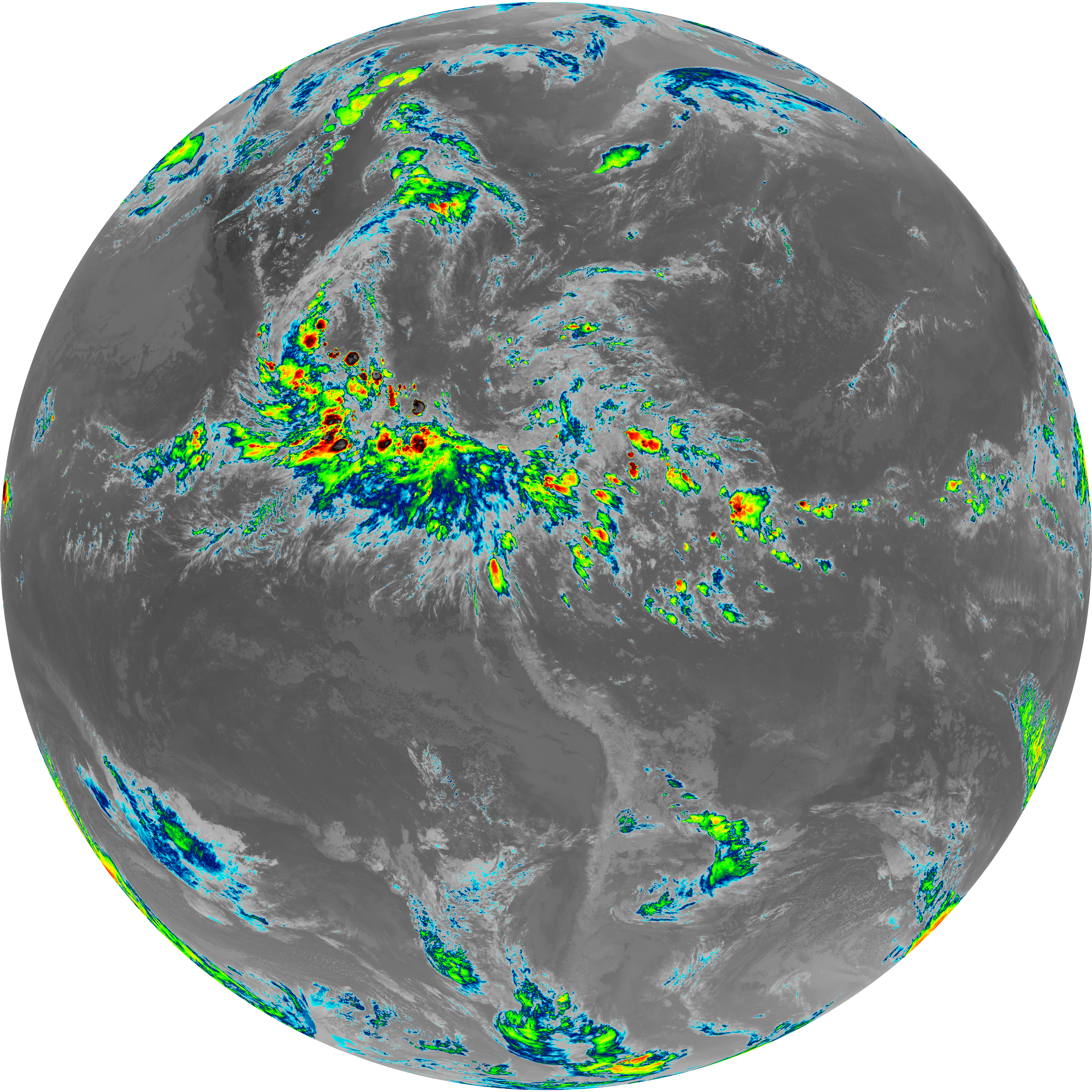
| abi_rgb_Clean_Longwave_IR_Window_Band.png | 13751491 | 2026-Jun-08 01:16 |
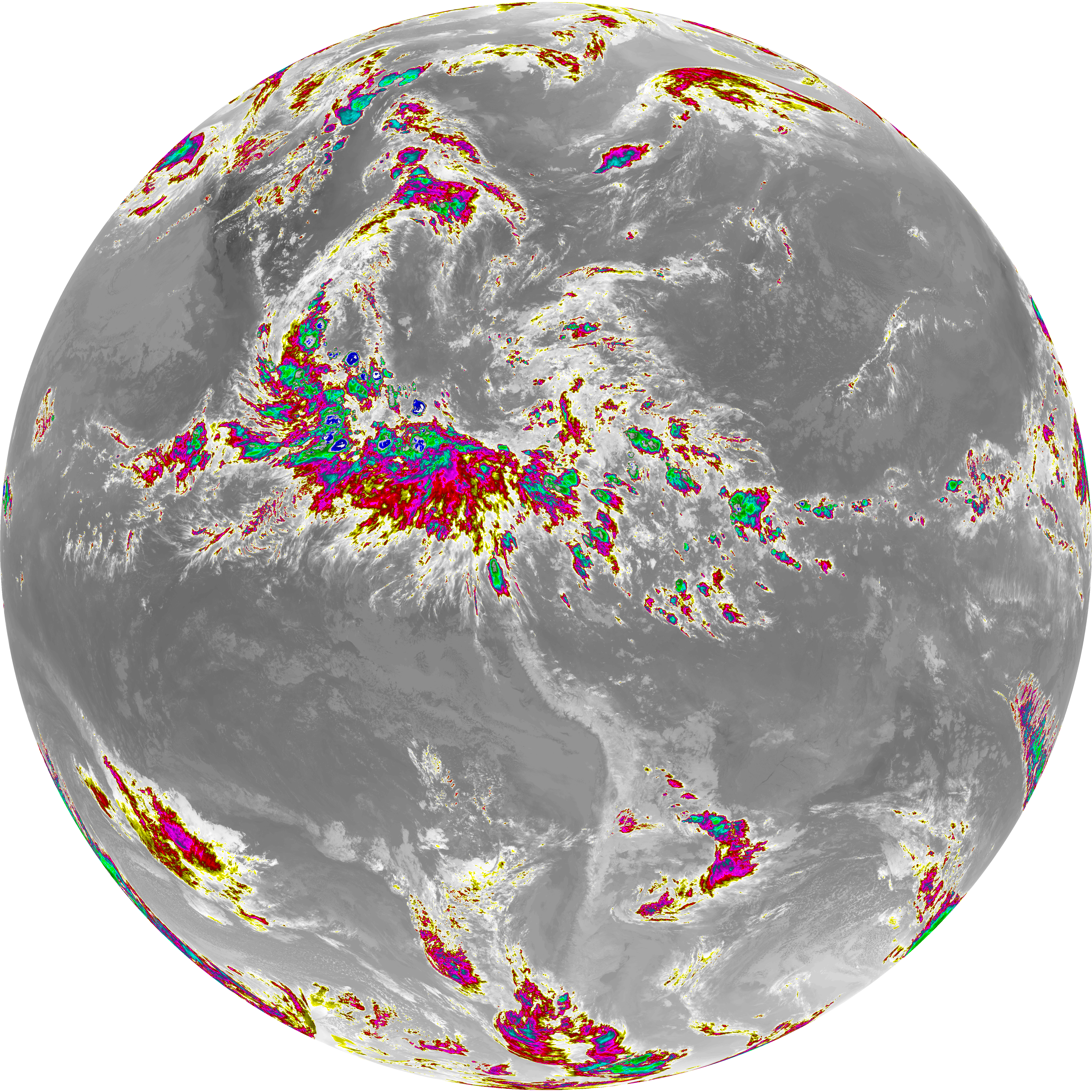
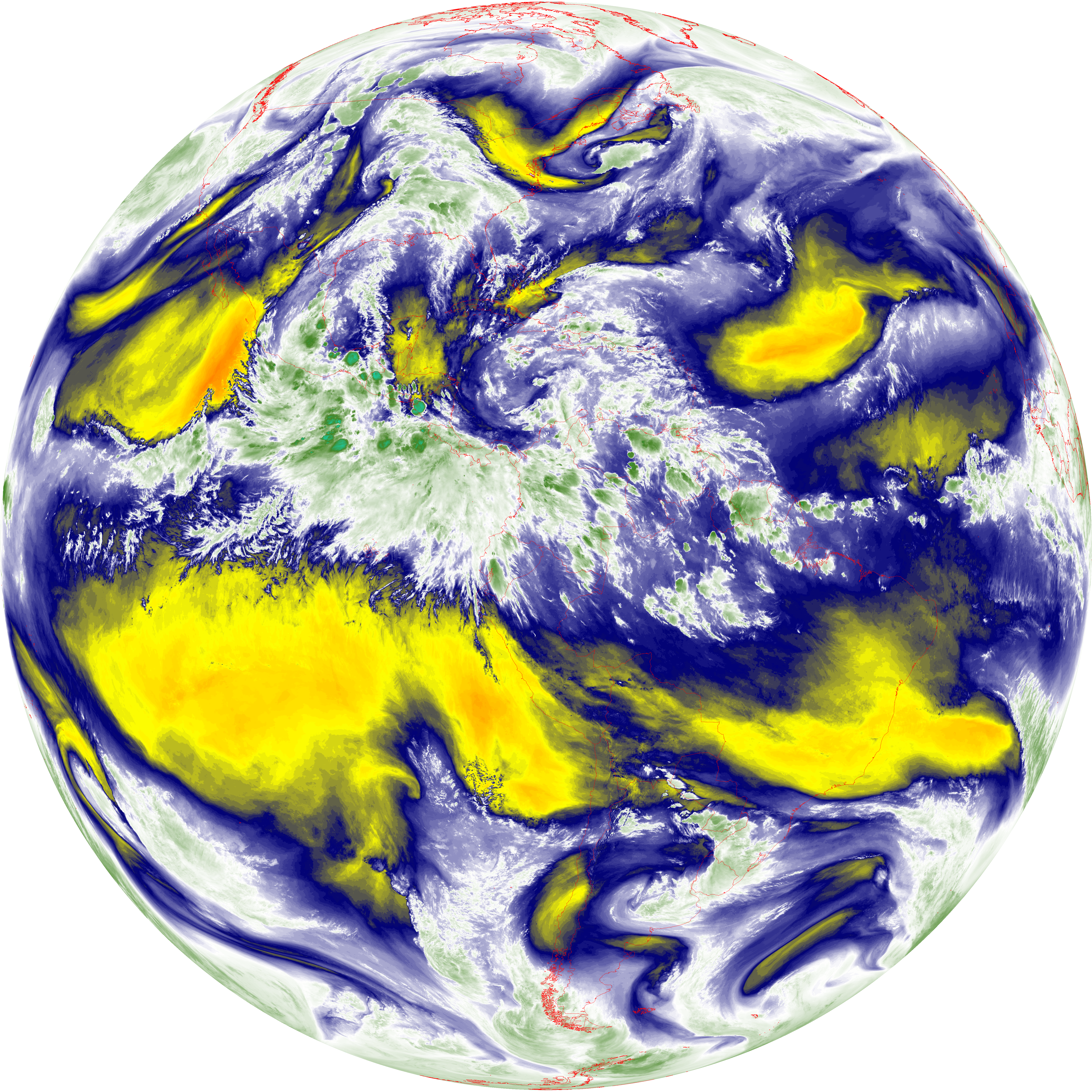
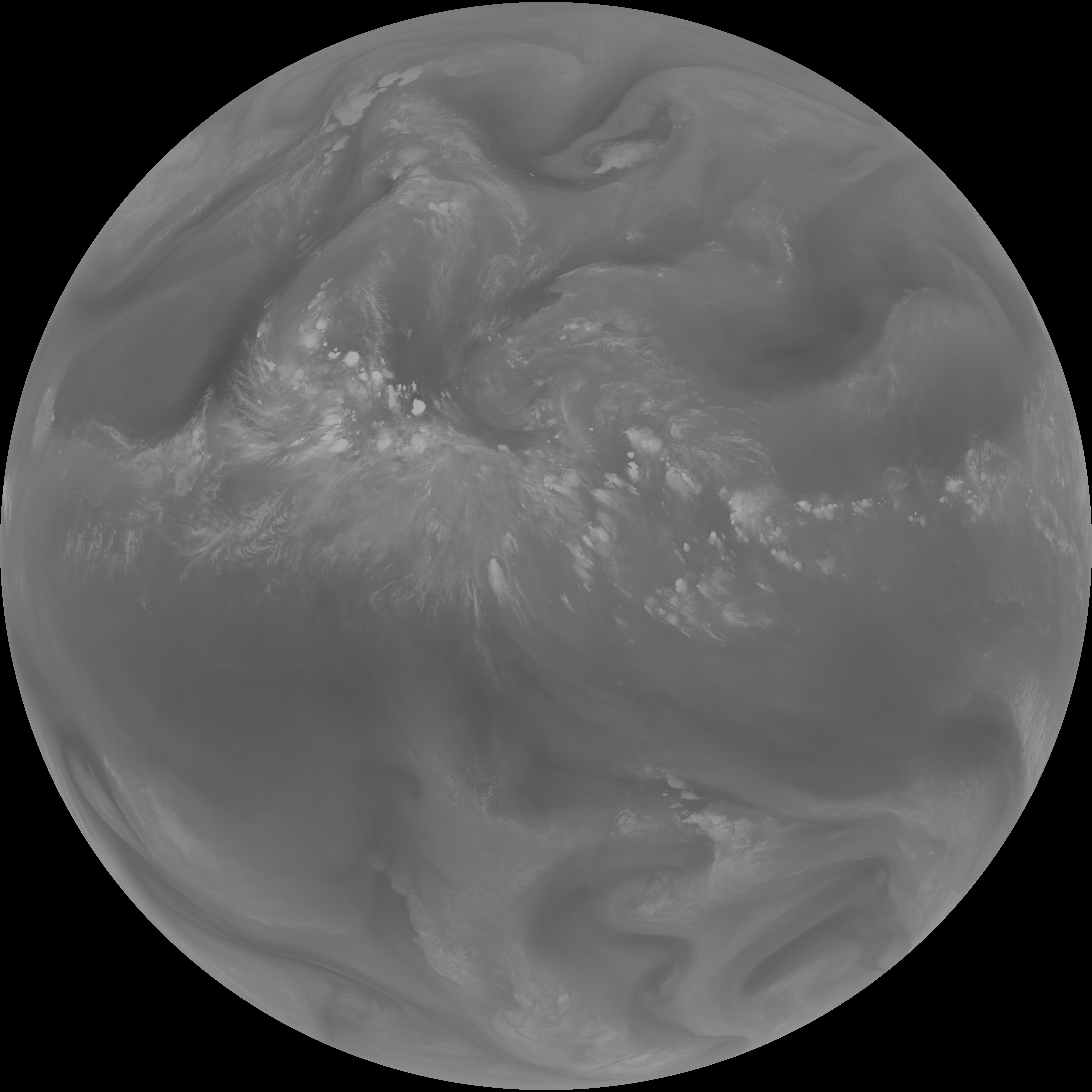
| abi_rgb_Dirty_Longwave_Window_map.png | 13680022 | 2026-Jun-08 01:28 |
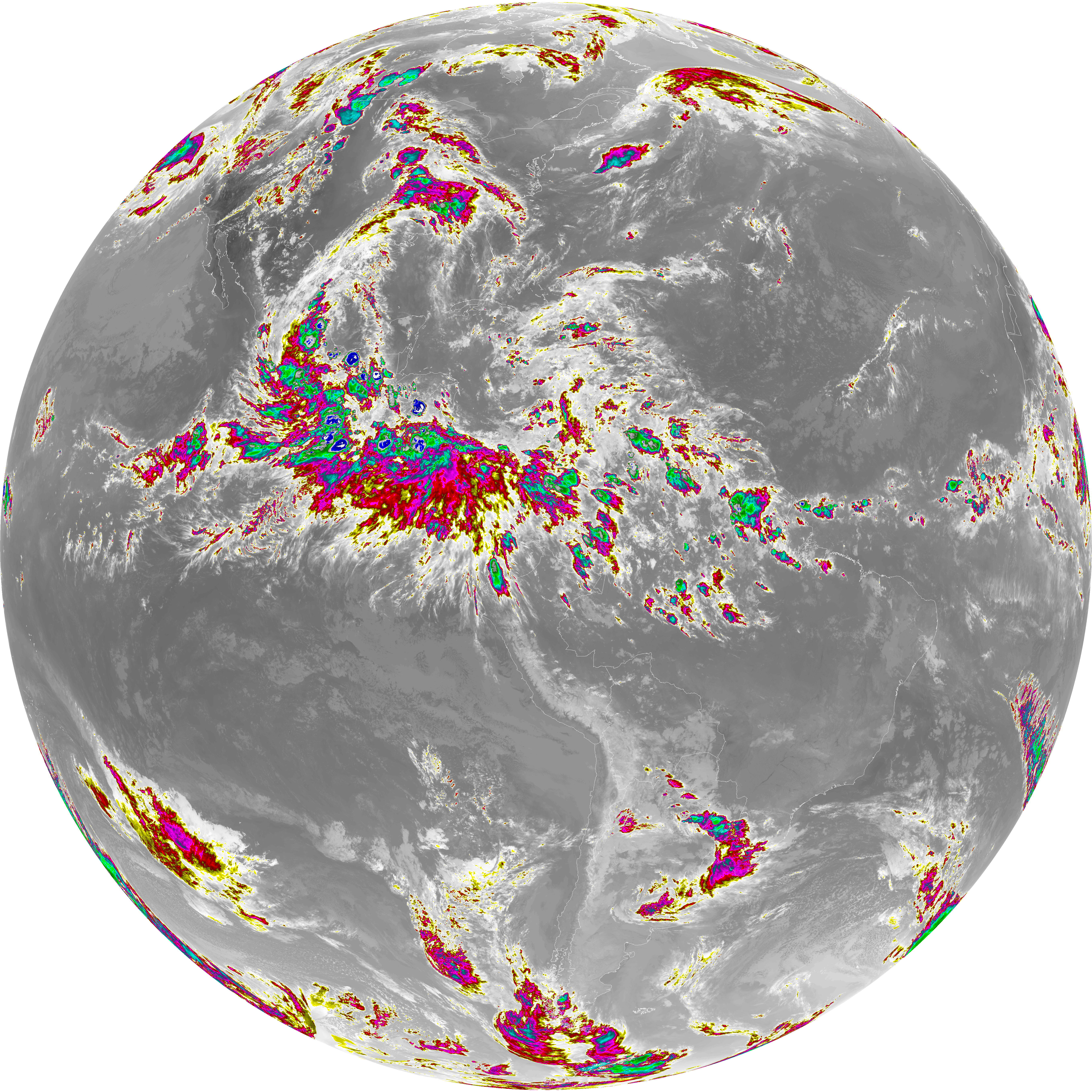
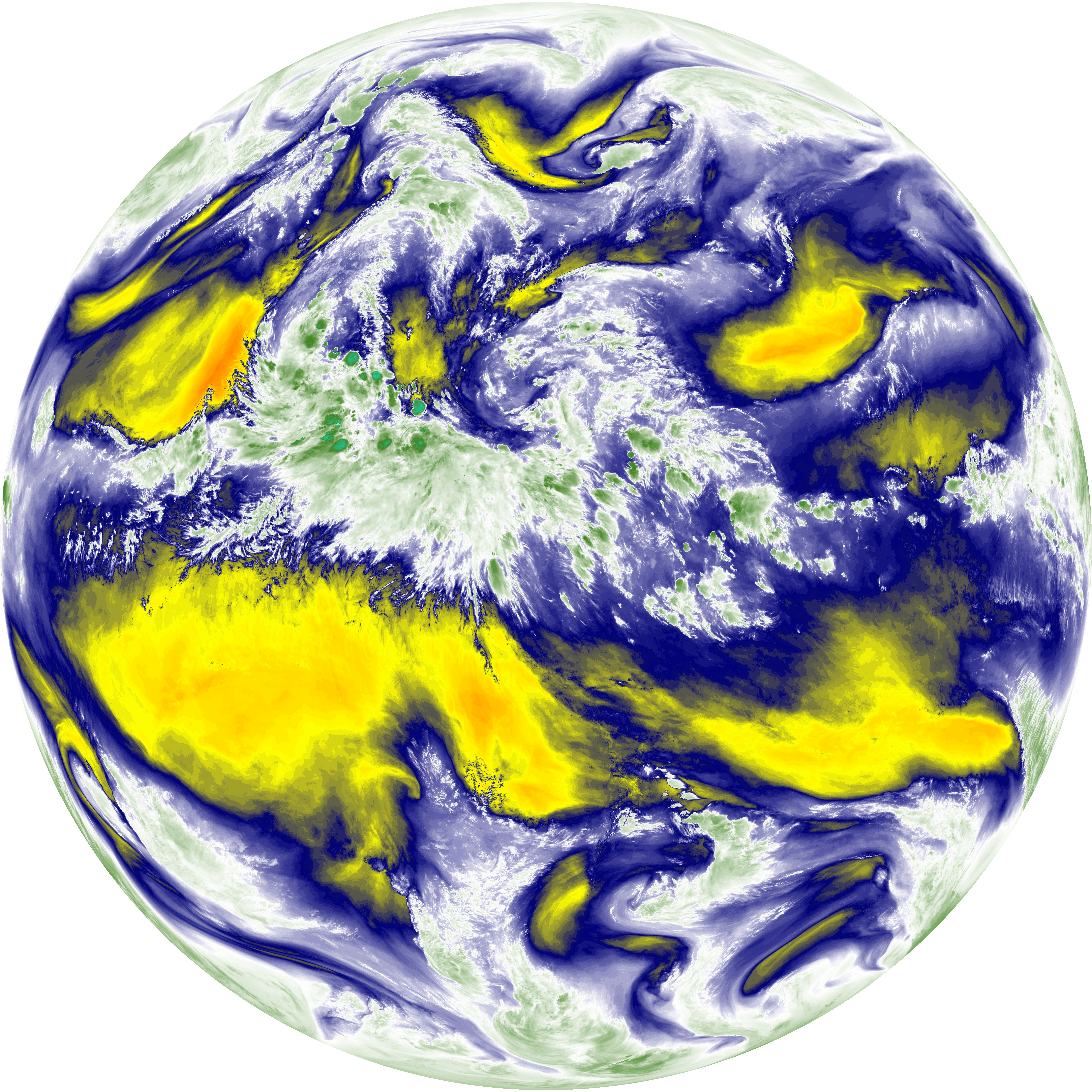
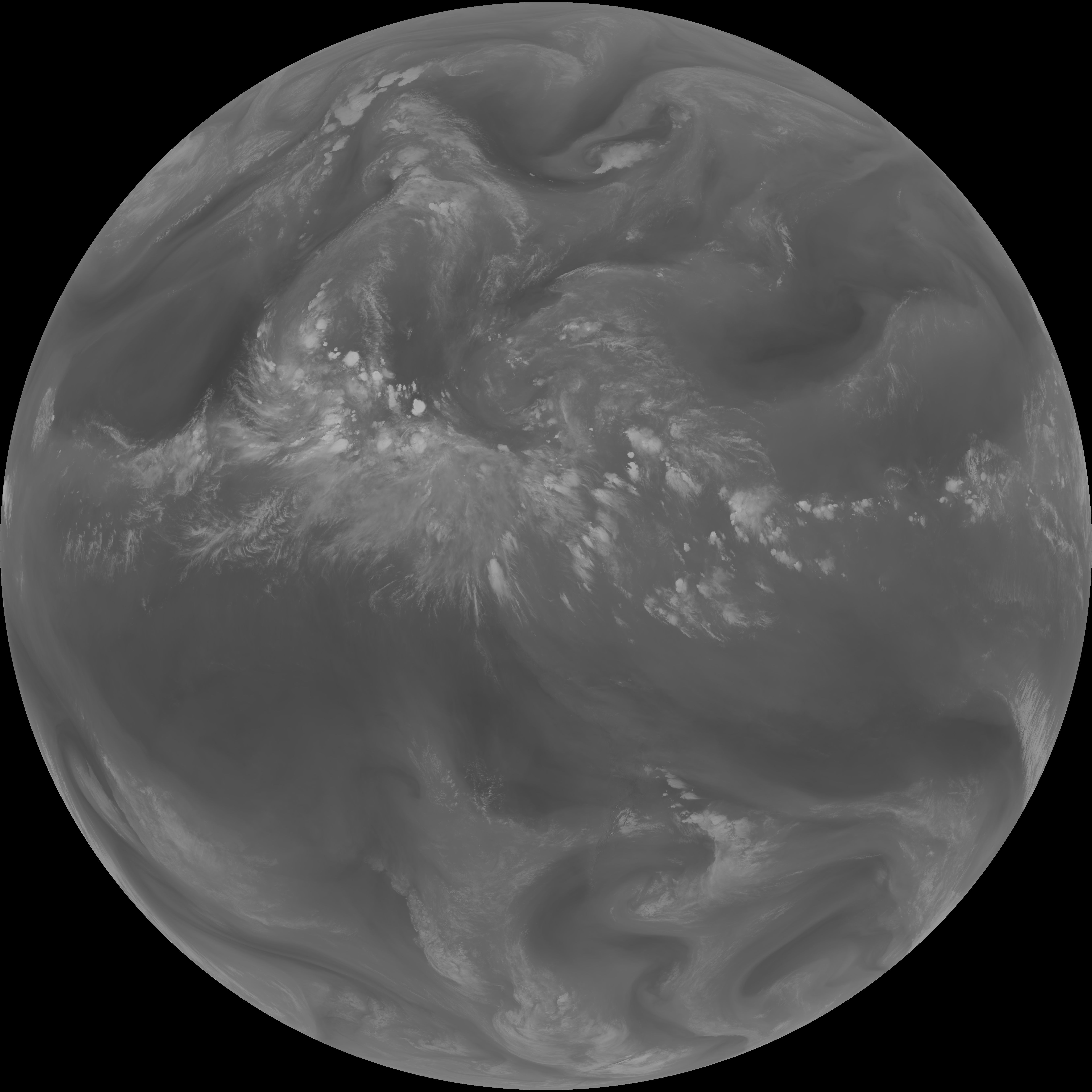
| abi_rgb_Dirty_Longwave_Window.png | 13632916 | 2026-Jun-08 01:28 |
| abi_rgb_Dirty_Longwave_Window_-_CIRA_map.png | 12051153 | 2026-Jun-08 01:28 |
| abi_rgb_Dirty_Longwave_Window_-_CIRA.png | 11993135 | 2026-Jun-08 01:28 |
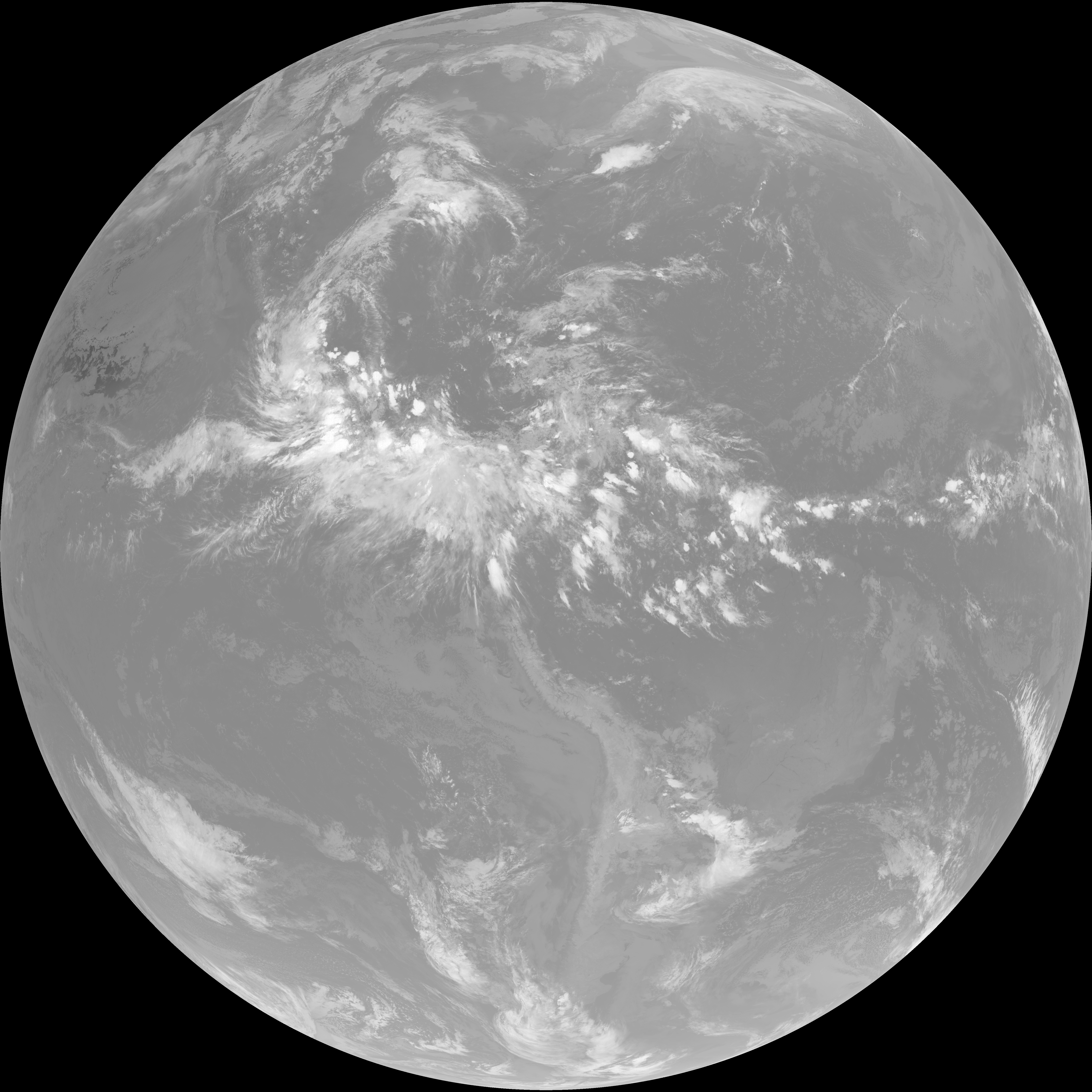
| G19_7_20260608T010021Z.png | 11070084 | 2026-Jun-08 01:13 |
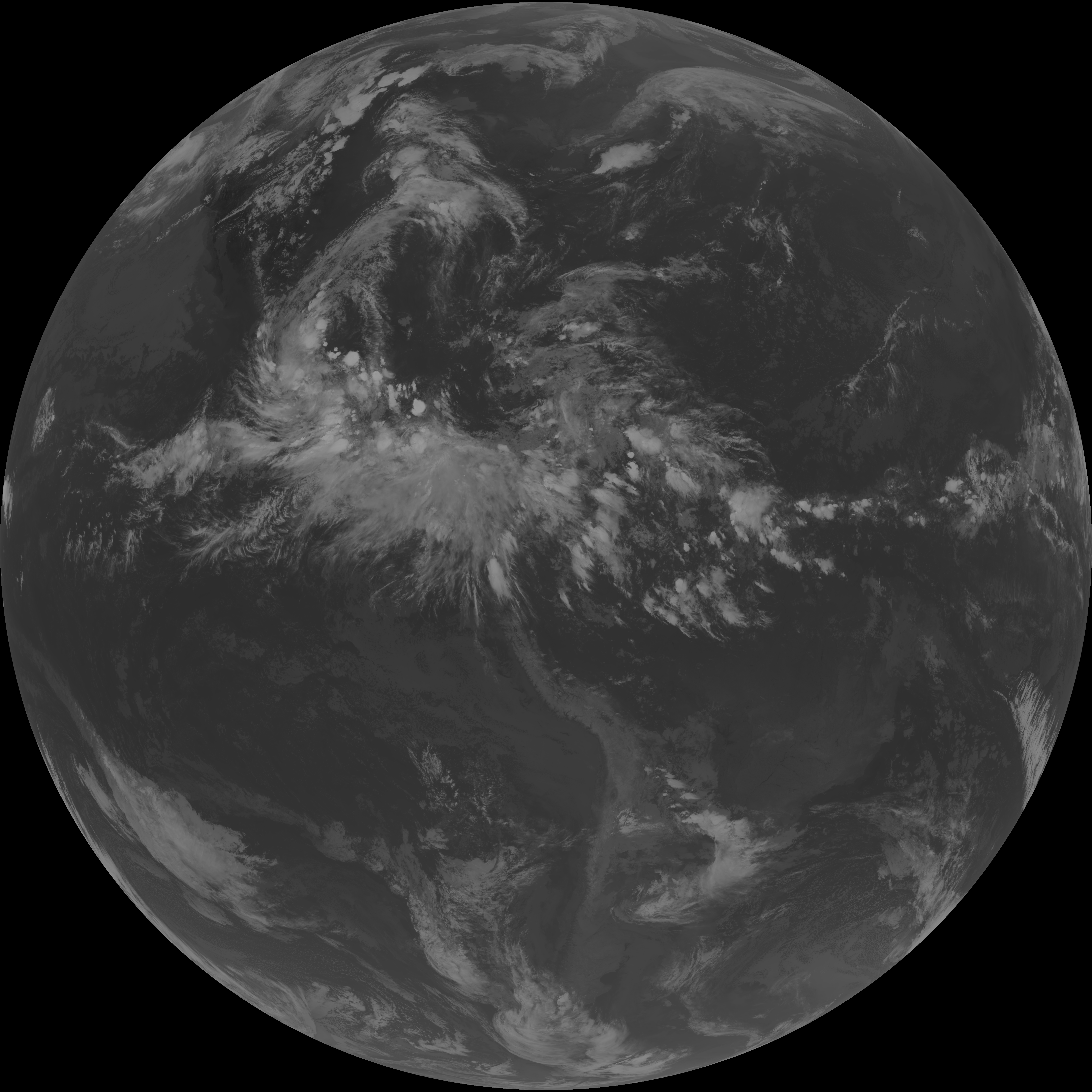
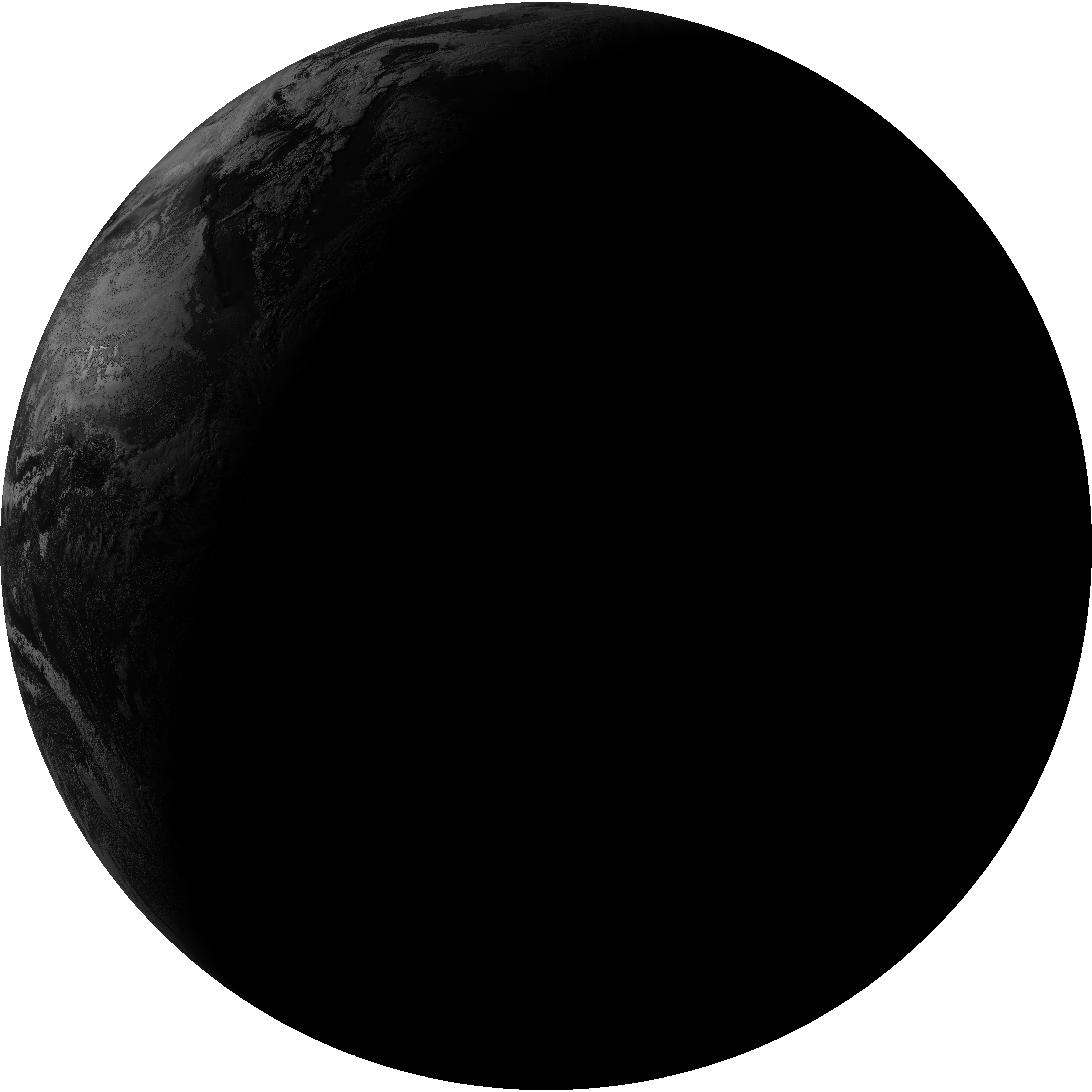
| G19_14_20260608T010021Z.png | 10393091 | 2026-Jun-08 01:24 |
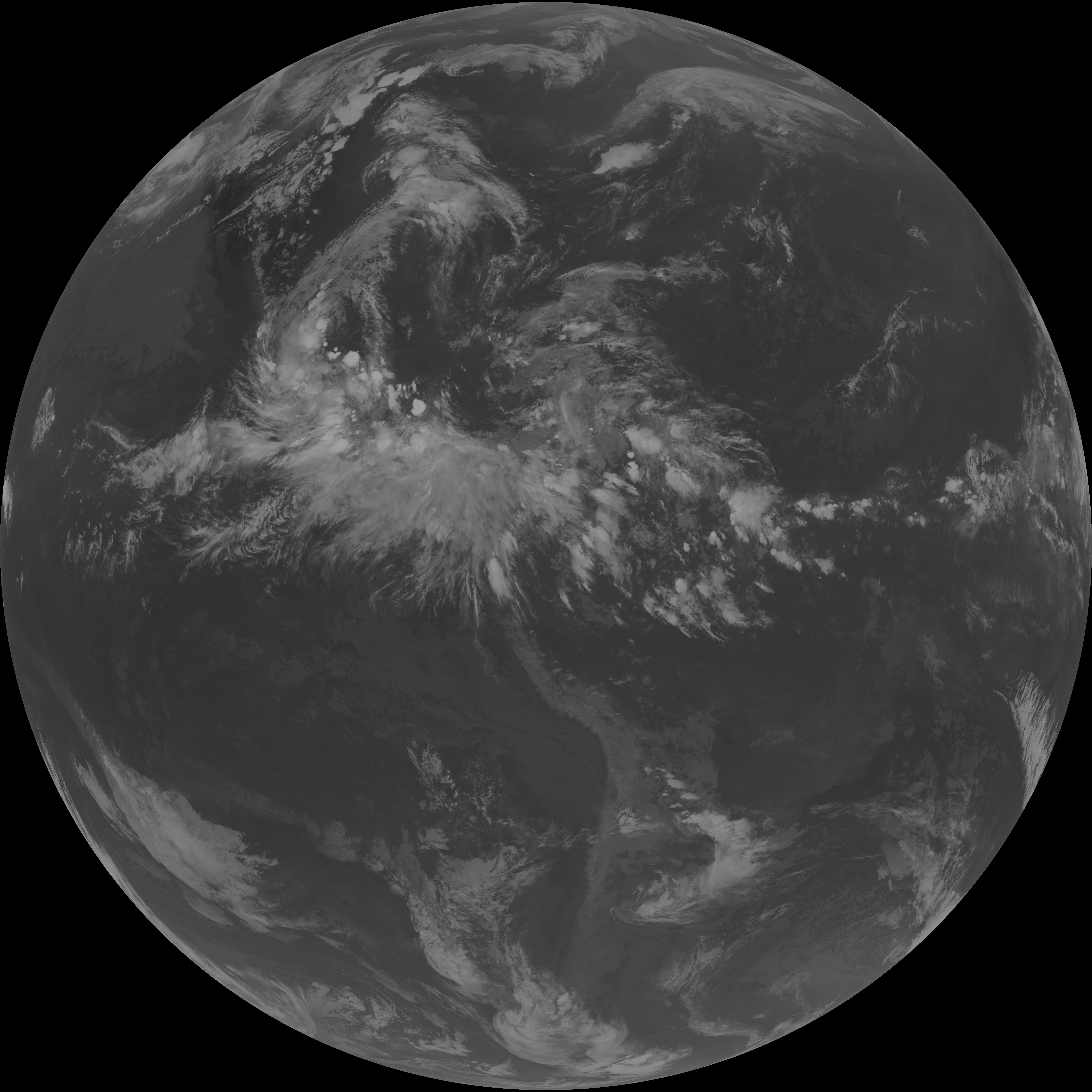
| G19_13_20260608T010021Z.png | 10239417 | 2026-Jun-08 01:16 |
| G19_15_20260608T010021Z.png | 10140059 | 2026-Jun-08 01:27 |
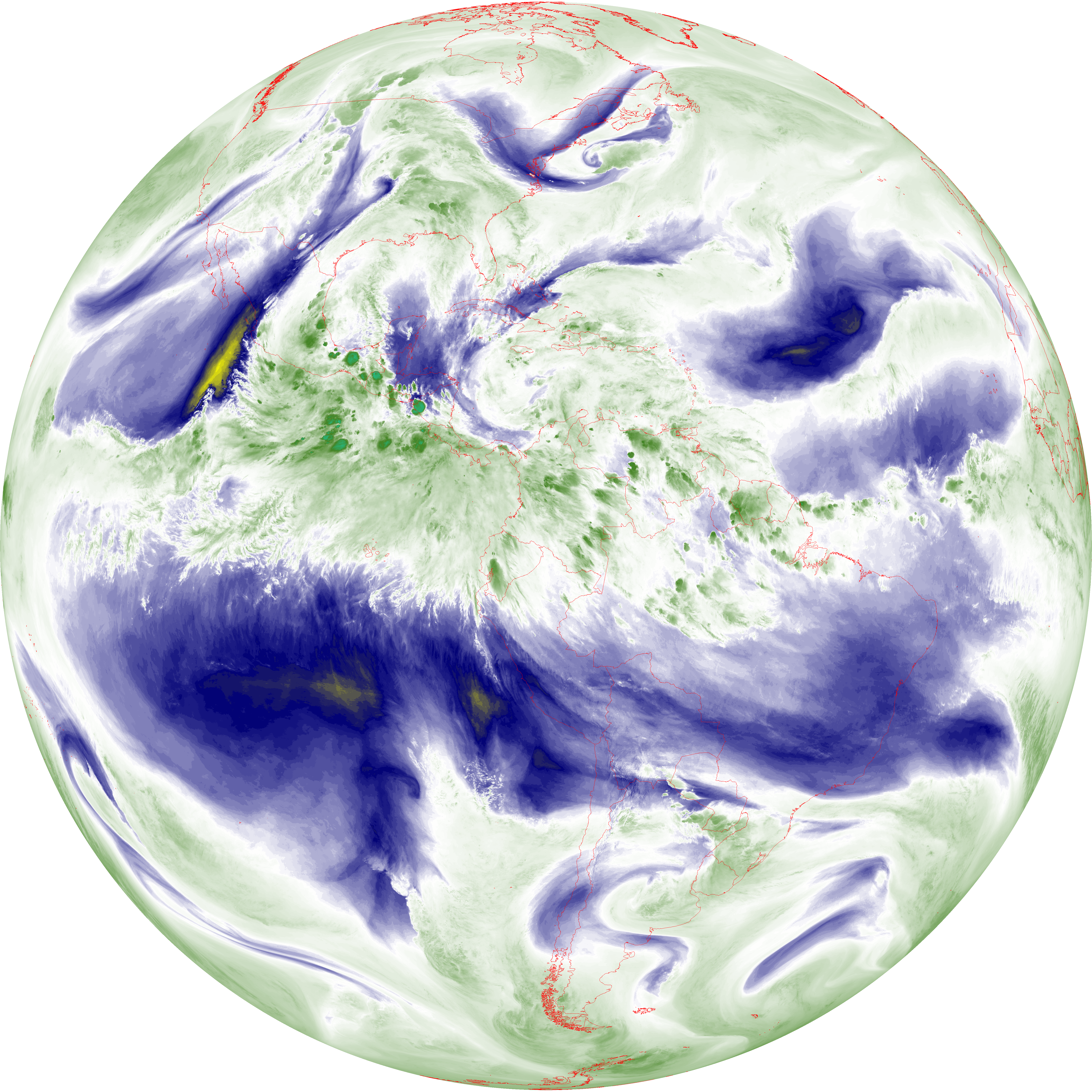
| abi_rgb_Mid-level_Tropospheric_Water_Vapor_map.png | 9021756 | 2026-Jun-08 01:22 |
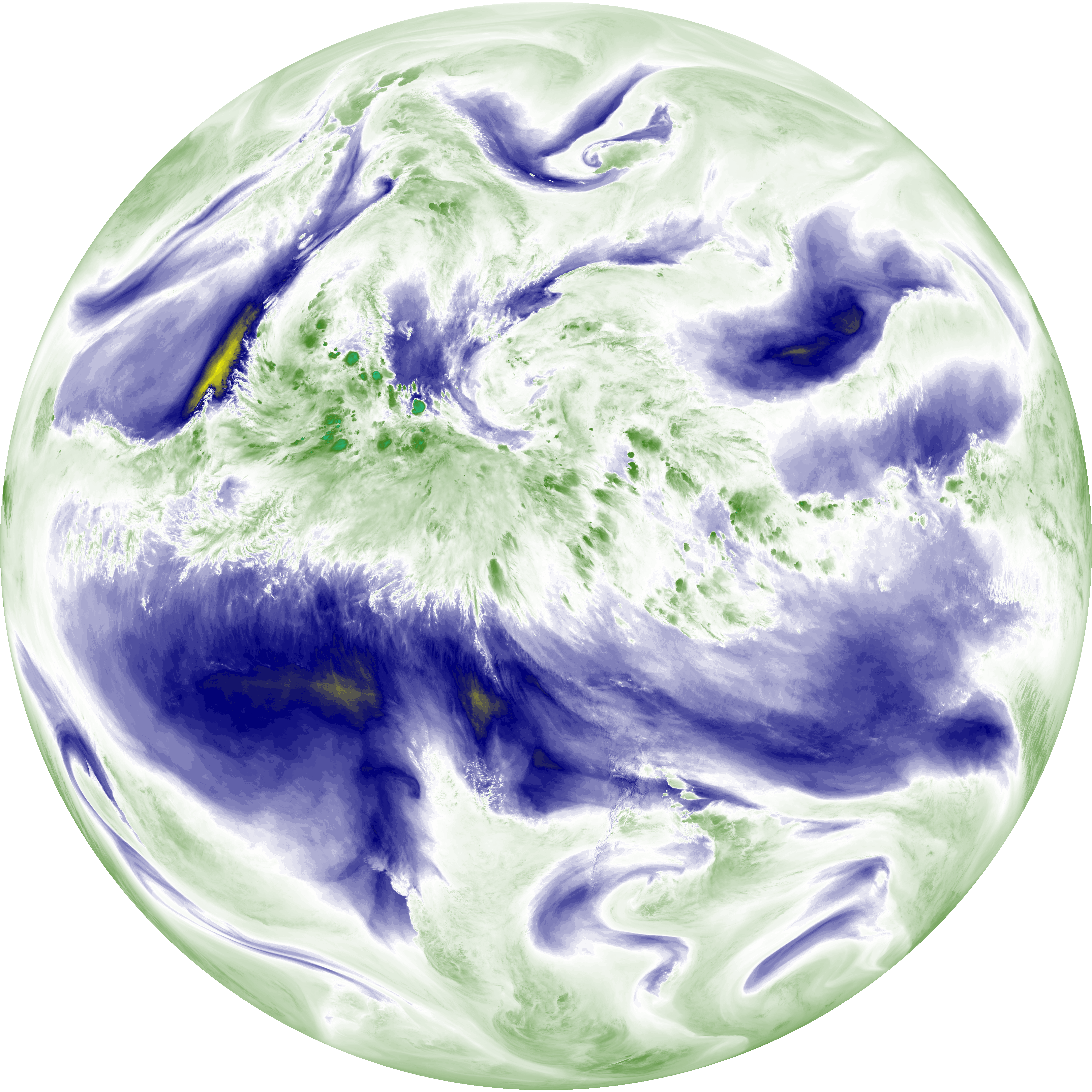
| abi_rgb_Mid-level_Tropospheric_Water_Vapor.png | 8924313 | 2026-Jun-08 01:21 |
| abi_rgb_Upper-Level_Tropospheric_Water_Vapor_map.png | 7779223 | 2026-Jun-08 01:19 |
| abi_rgb_Upper-Level_Tropospheric_Water_Vapor.png | 7671173 | 2026-Jun-08 01:19 |
| G19_9_20260608T010021Z.png | 6628105 | 2026-Jun-08 01:21 |
| G19_8_20260608T010021Z.png | 5712058 | 2026-Jun-08 01:19 |
| G19_2_20260608T010021Z.png | 3537848 | 2026-Jun-08 01:17 |