| Parent directory/ | - | - |
| G19_2_20260608T013021Z.png | 2846297 | 2026-Jun-08 01:47 |
| G19_8_20260608T013021Z.png | 5663957 | 2026-Jun-08 01:49 |
| G19_9_20260608T013021Z.png | 6578008 | 2026-Jun-08 01:51 |
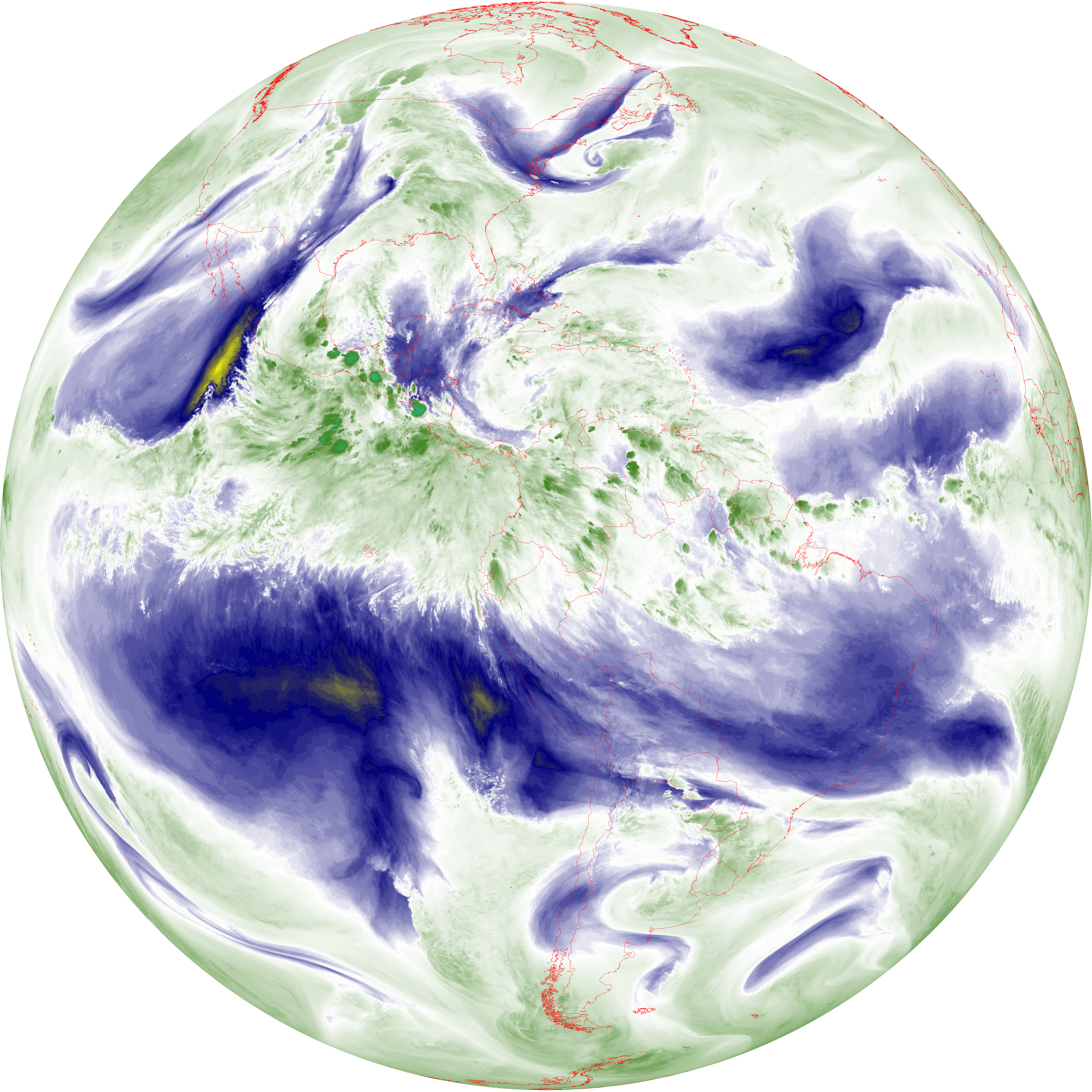
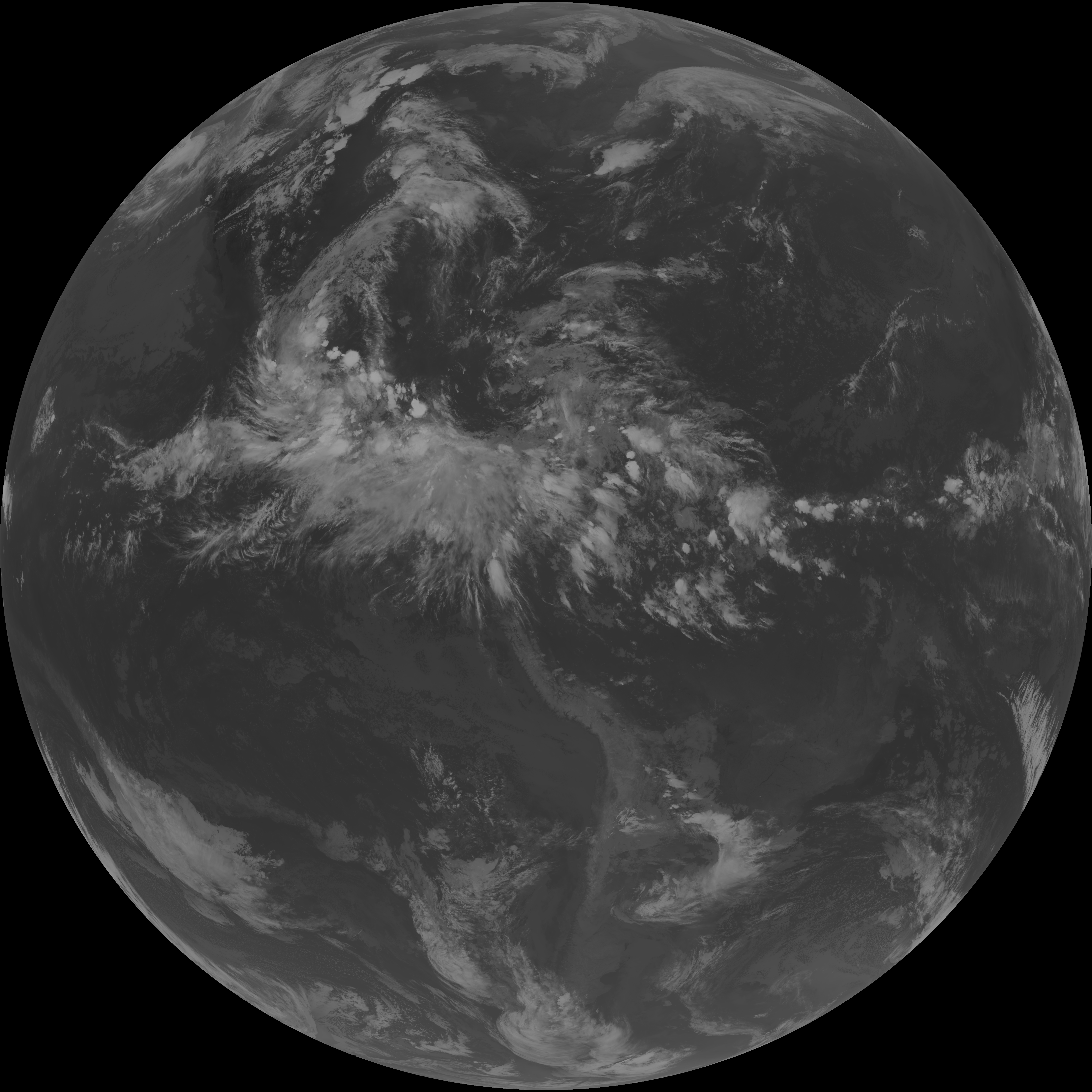
| abi_rgb_Upper-Level_Tropospheric_Water_Vapor.png | 7606155 | 2026-Jun-08 01:49 |
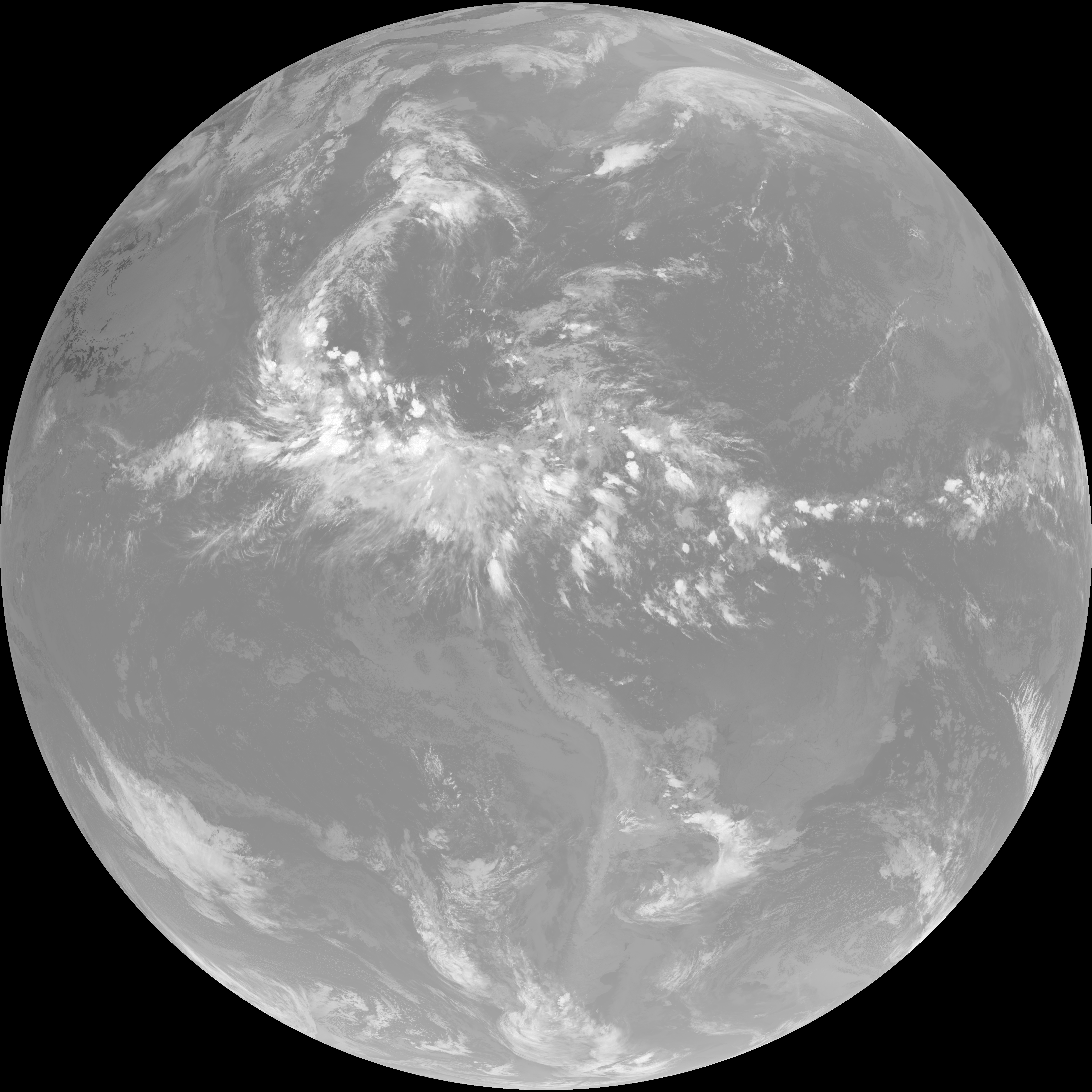
| abi_rgb_Upper-Level_Tropospheric_Water_Vapor_map.png | 7714258 | 2026-Jun-08 01:49 |
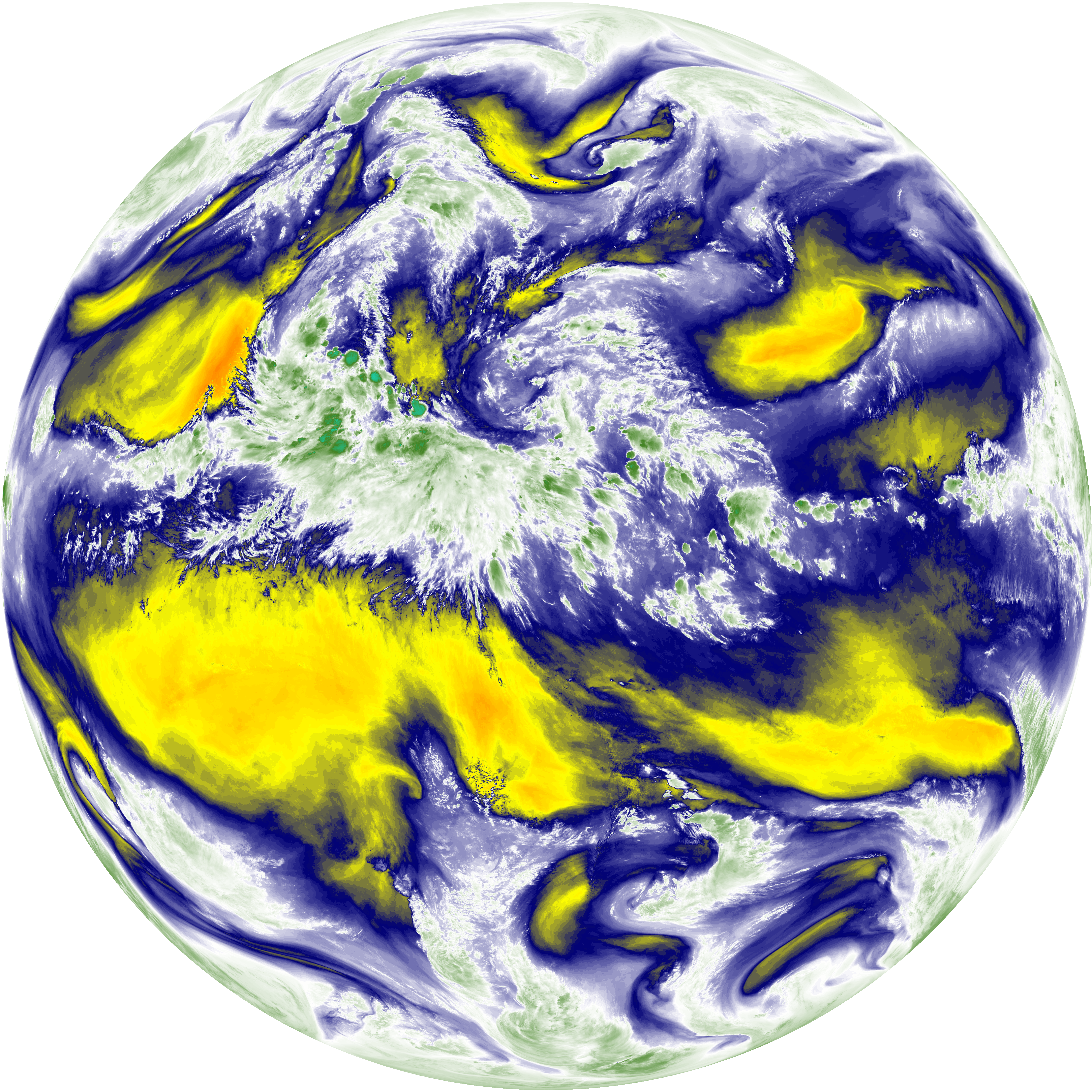
| abi_rgb_Mid-level_Tropospheric_Water_Vapor.png | 8857218 | 2026-Jun-08 01:51 |
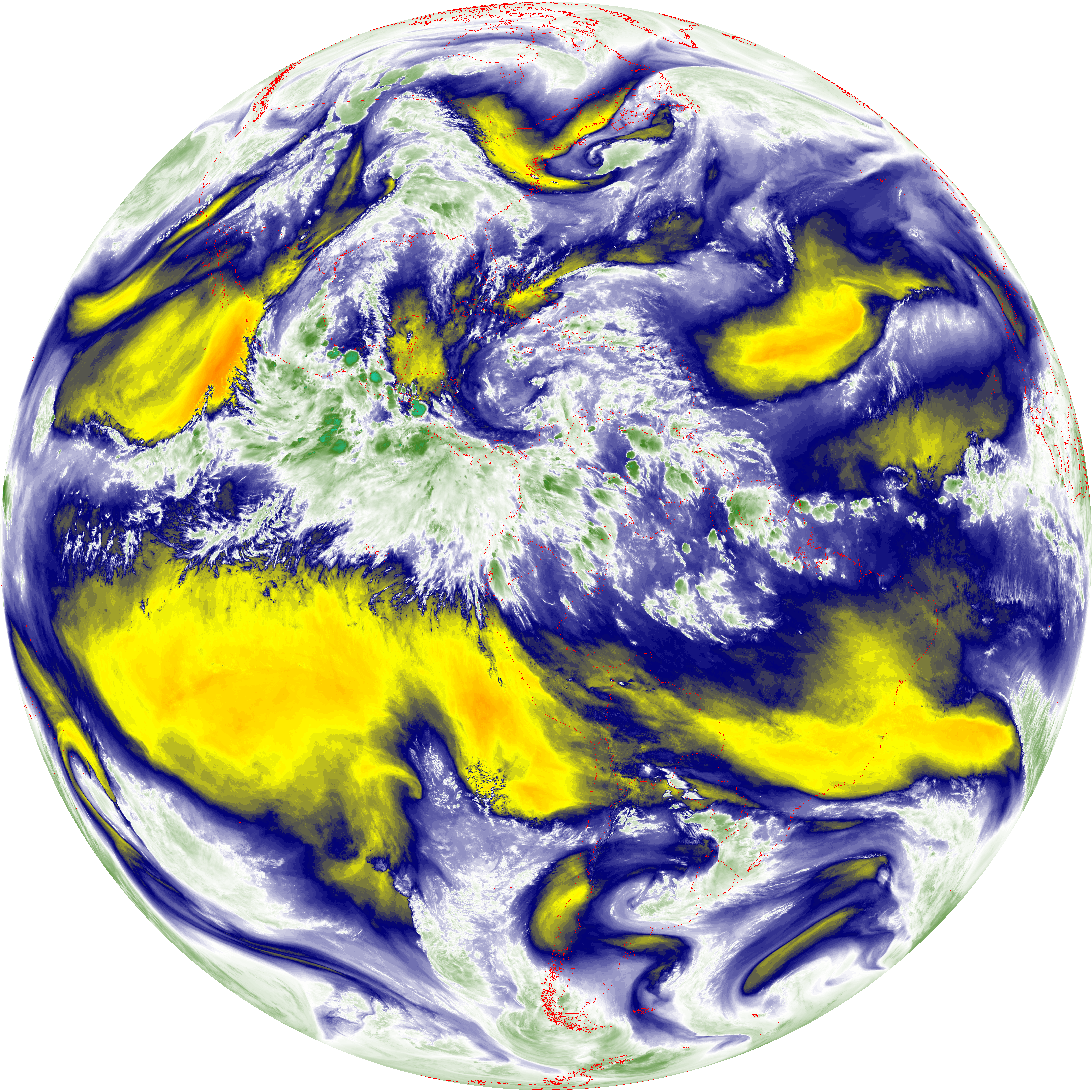
| abi_rgb_Mid-level_Tropospheric_Water_Vapor_map.png | 8955252 | 2026-Jun-08 01:51 |
| G19_15_20260608T013021Z.png | 10102787 | 2026-Jun-08 01:57 |
| G19_13_20260608T013021Z.png | 10207196 | 2026-Jun-08 01:46 |
| G19_14_20260608T013021Z.png | 10359713 | 2026-Jun-08 01:54 |
| G19_7_20260608T013021Z.png | 11124933 | 2026-Jun-08 01:43 |
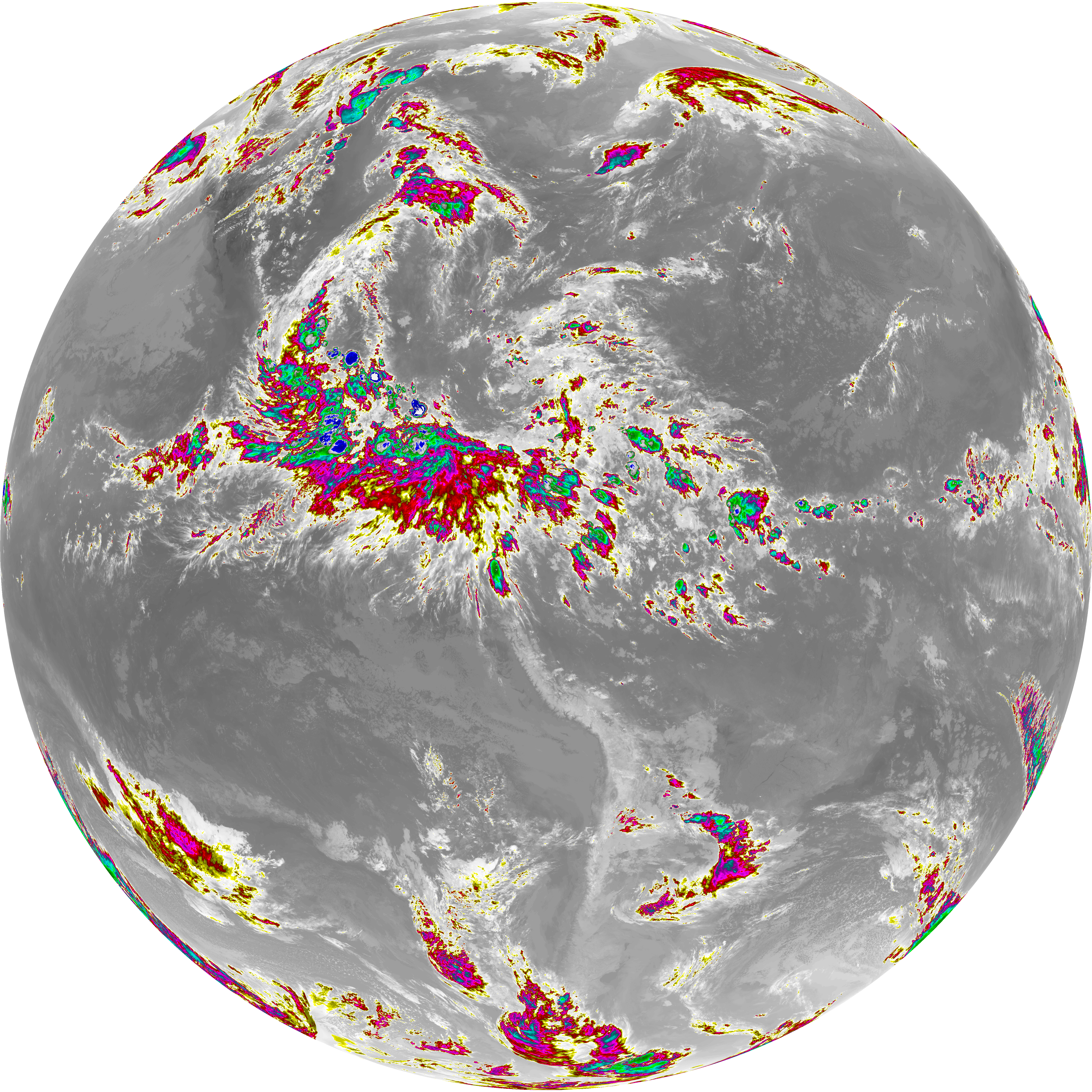
| abi_rgb_Dirty_Longwave_Window_-_CIRA.png | 11946590 | 2026-Jun-08 01:57 |
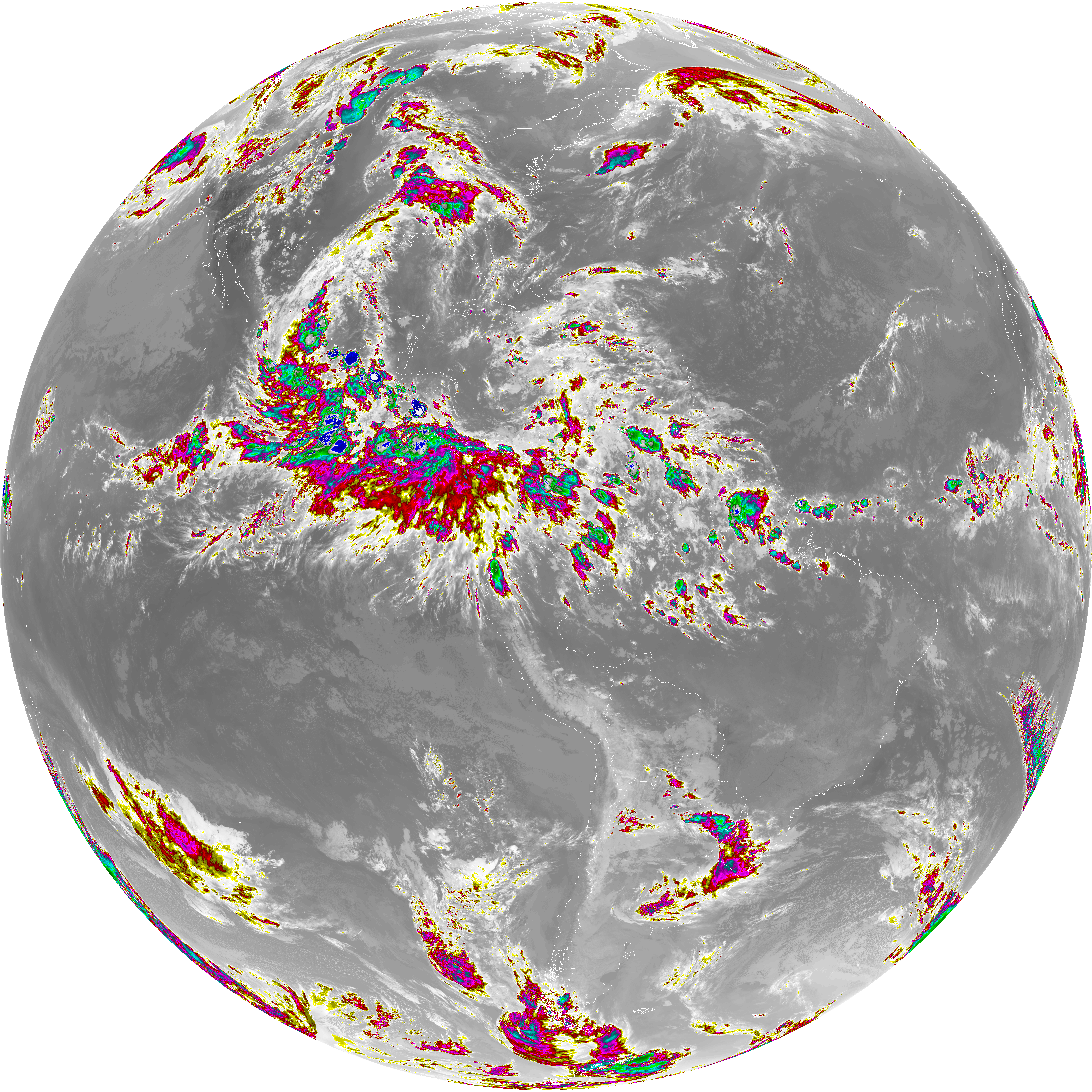
| abi_rgb_Dirty_Longwave_Window_-_CIRA_map.png | 12004824 | 2026-Jun-08 01:58 |
| abi_rgb_Dirty_Longwave_Window.png | 13576172 | 2026-Jun-08 01:57 |
| abi_rgb_Dirty_Longwave_Window_map.png | 13624543 | 2026-Jun-08 01:57 |
| abi_rgb_Clean_Longwave_IR_Window_Band.png | 13709662 | 2026-Jun-08 01:46 |
| abi_rgb_Clean_Longwave_IR_Window_Band_map.png | 13755463 | 2026-Jun-08 01:46 |
| abi_rgb_Infrared_Longwave_Window_Band.png | 13884234 | 2026-Jun-08 01:54 |
| abi_rgb_Infrared_Longwave_Window_Band_map.png | 13929305 | 2026-Jun-08 01:54 |
| abi_rgb_Shortwave_Window_Band.png | 15132771 | 2026-Jun-08 01:43 |
| abi_rgb_Shortwave_Window_Band_map.png | 15187010 | 2026-Jun-08 01:43 |