| Parent directory/ | - | - |
| G19_7_20260608T020021Z.png | 11165591 | 2026-Jun-08 02:13 |
| abi_rgb_Shortwave_Window_Band.png | 15217591 | 2026-Jun-08 02:13 |
| abi_rgb_Shortwave_Window_Band_map.png | 15272894 | 2026-Jun-08 02:14 |
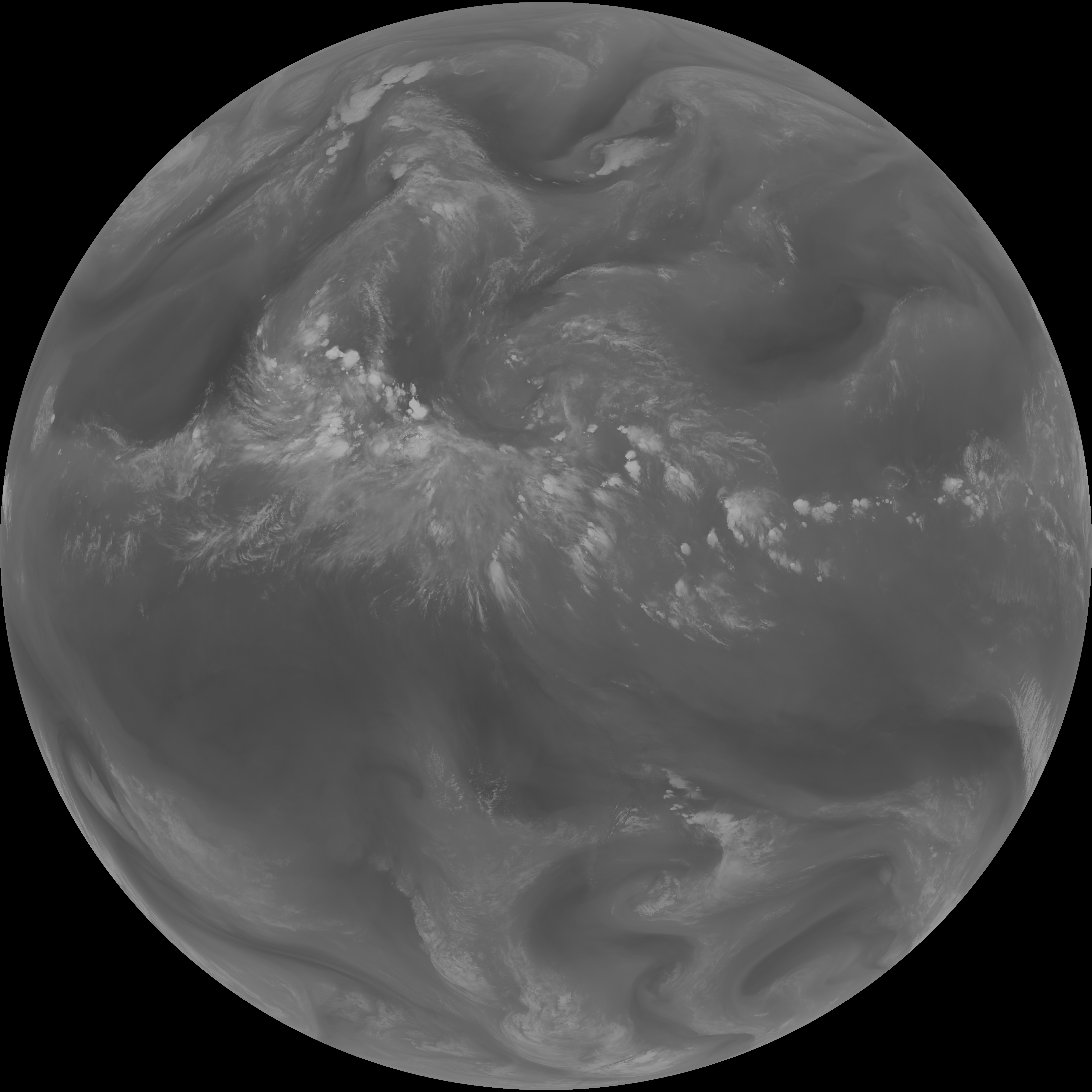
| G19_13_20260608T020021Z.png | 10181708 | 2026-Jun-08 02:16 |
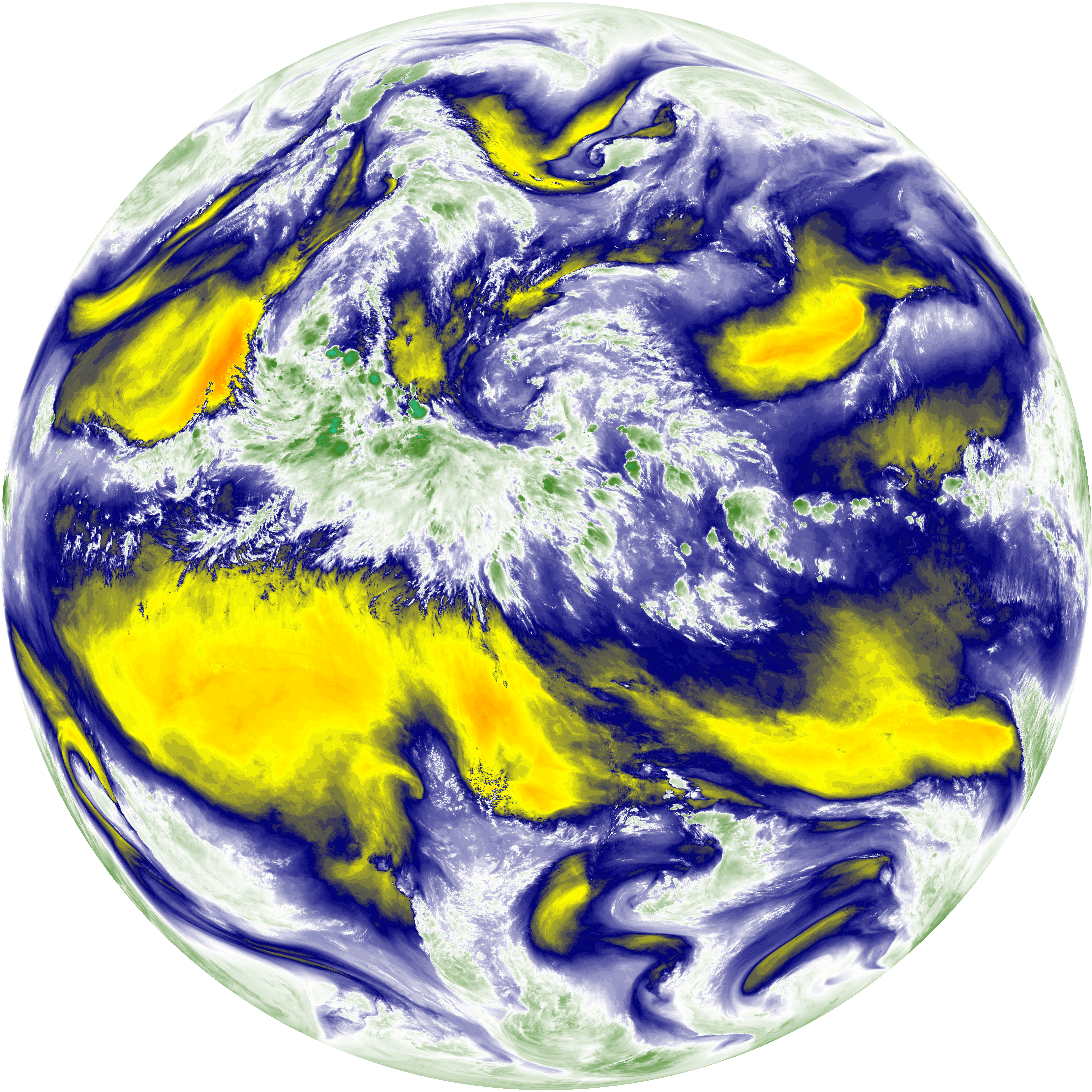
| abi_rgb_Clean_Longwave_IR_Window_Band.png | 13675115 | 2026-Jun-08 02:16 |
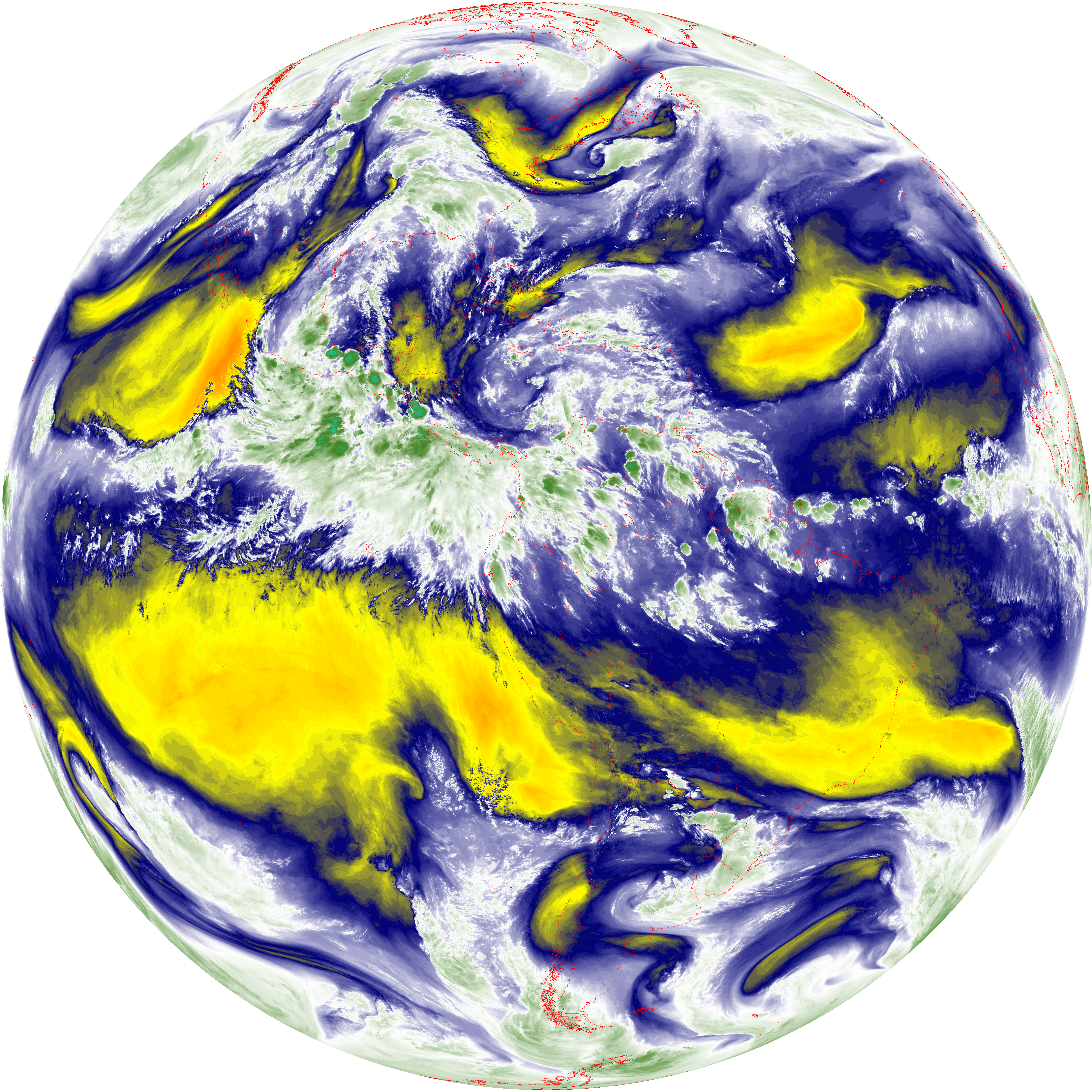
| abi_rgb_Clean_Longwave_IR_Window_Band_map.png | 13721841 | 2026-Jun-08 02:16 |
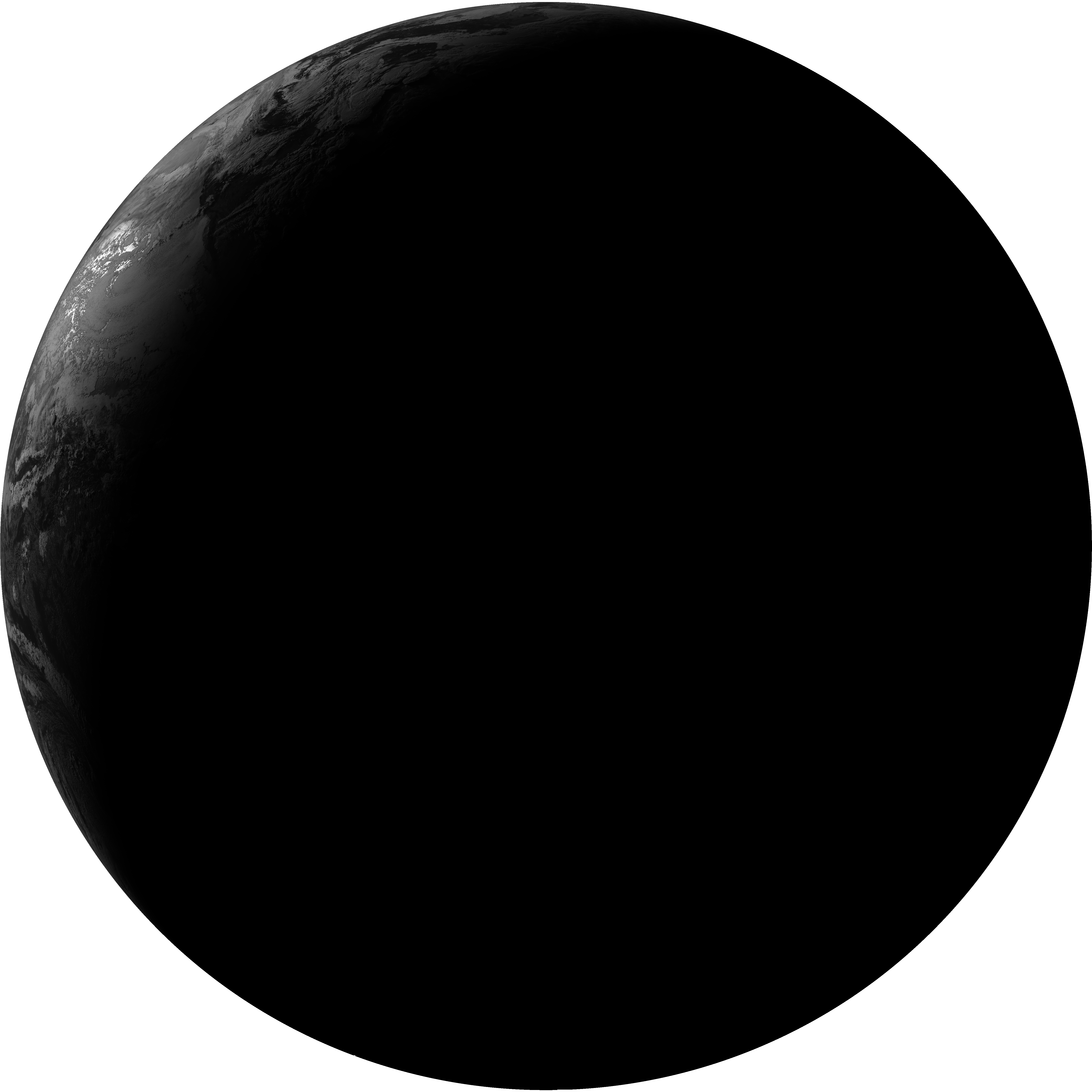
| G19_2_20260608T020021Z.png | 2247635 | 2026-Jun-08 02:17 |
| G19_8_20260608T020021Z.png | 5623600 | 2026-Jun-08 02:19 |
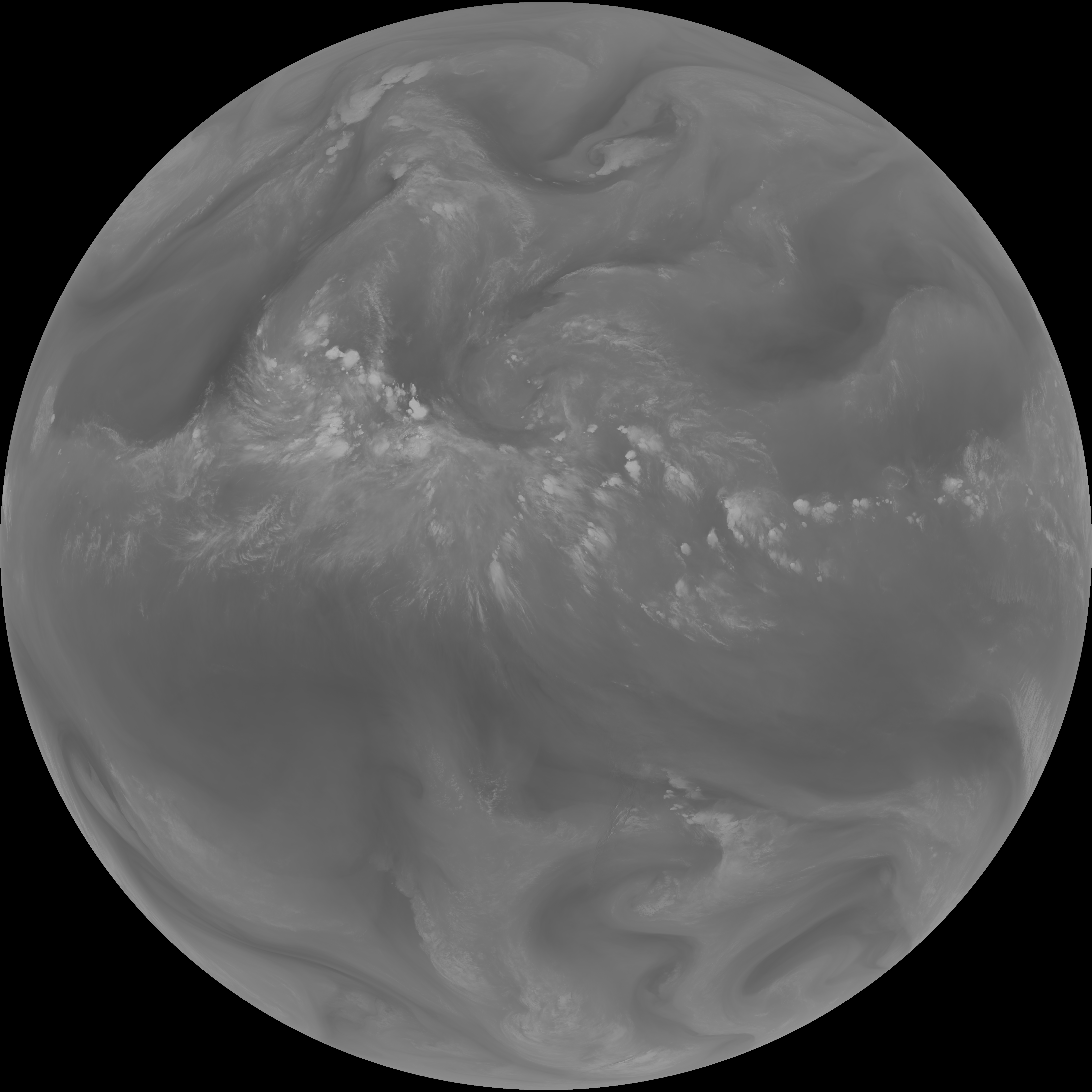
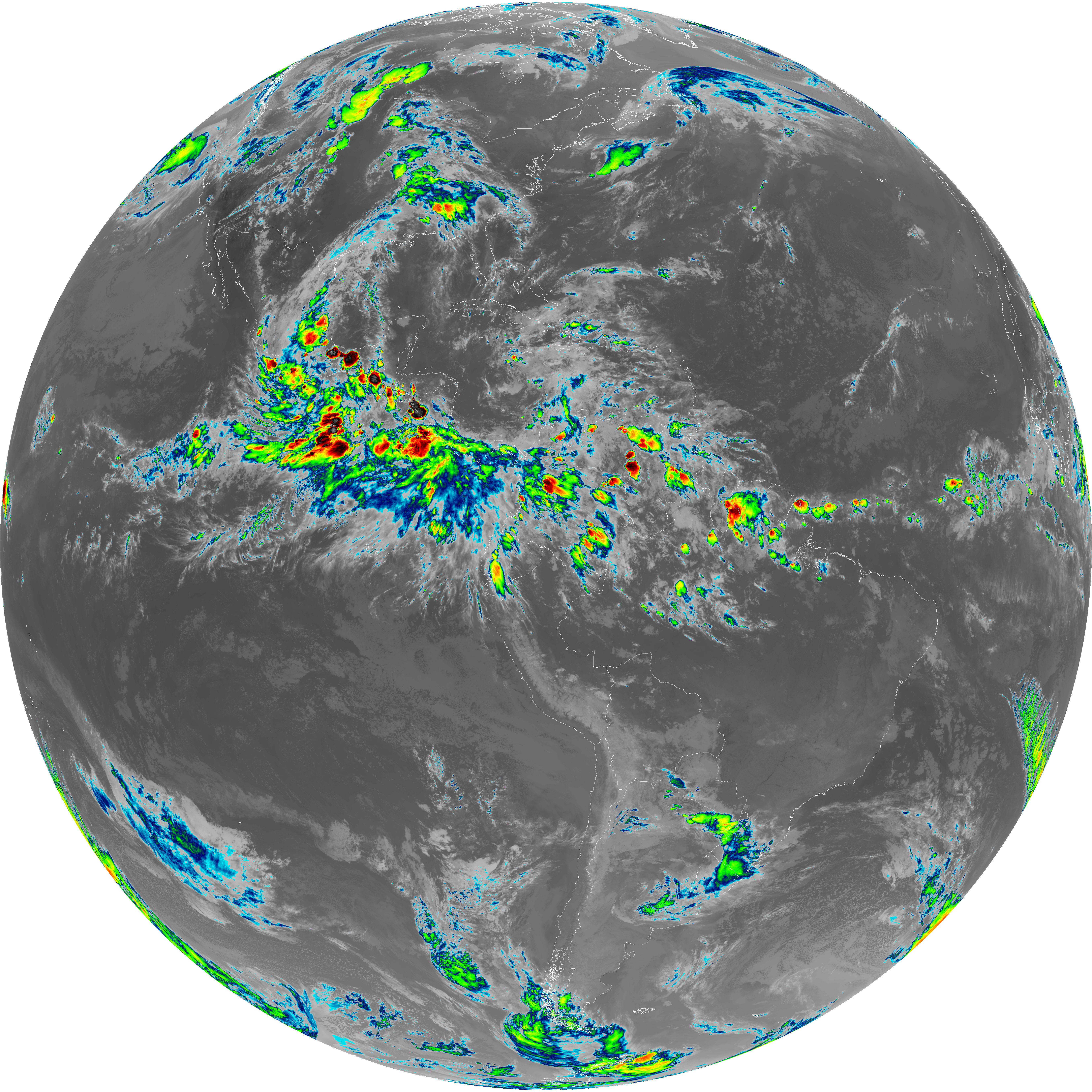
| abi_rgb_Upper-Level_Tropospheric_Water_Vapor.png | 7545179 | 2026-Jun-08 02:19 |
| abi_rgb_Upper-Level_Tropospheric_Water_Vapor_map.png | 7653666 | 2026-Jun-08 02:19 |
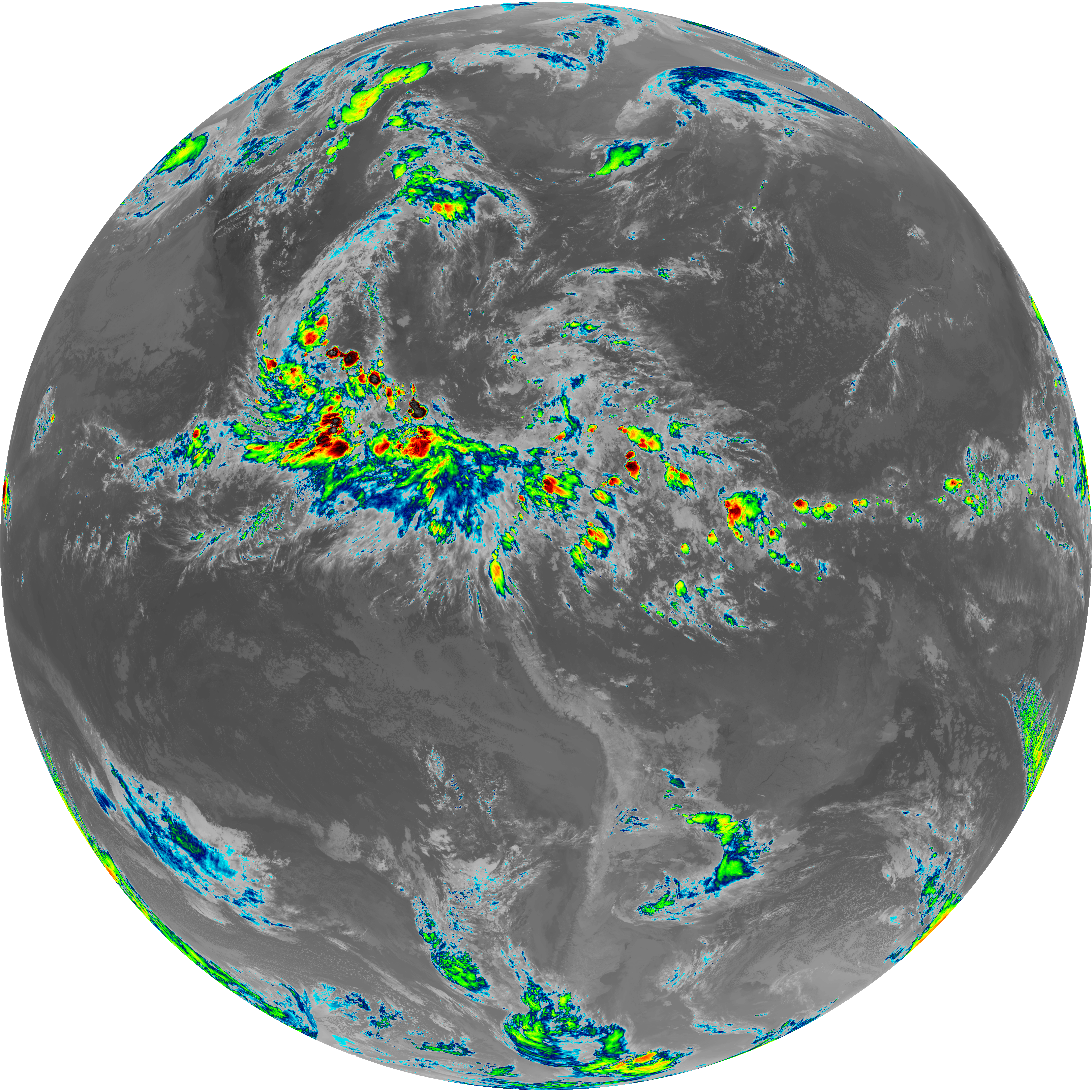
| G19_9_20260608T020021Z.png | 6524946 | 2026-Jun-08 02:21 |
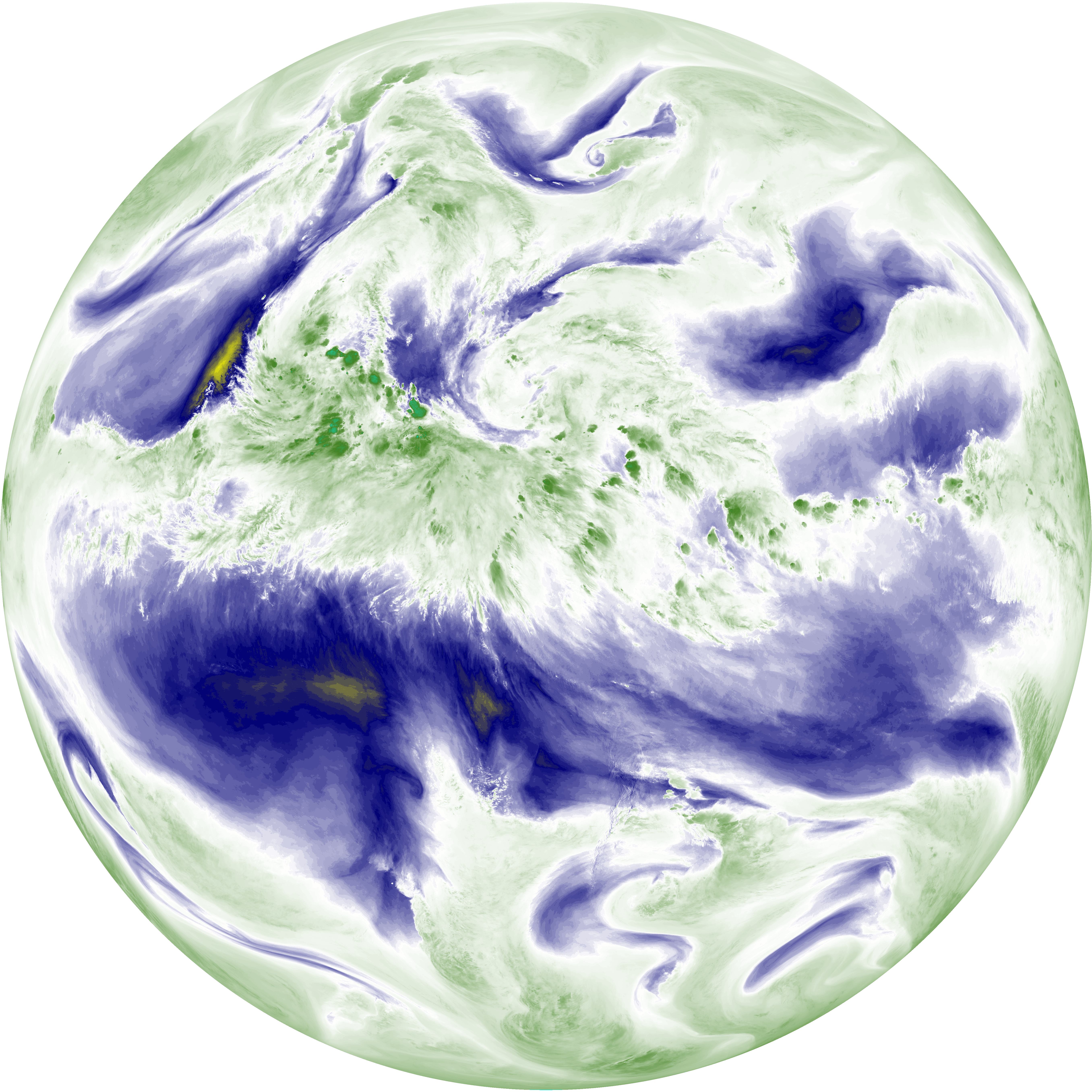
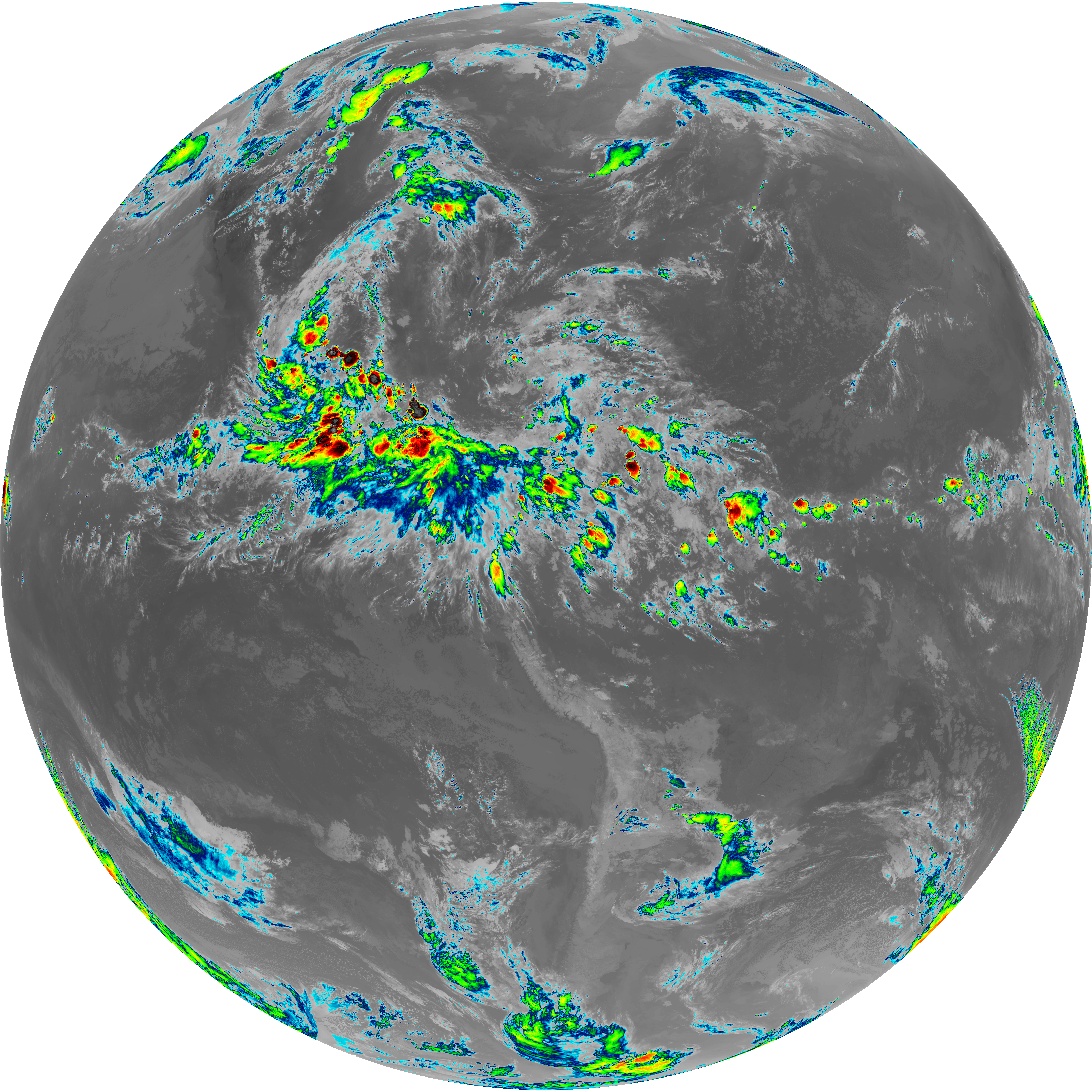
| abi_rgb_Mid-level_Tropospheric_Water_Vapor.png | 8788385 | 2026-Jun-08 02:21 |
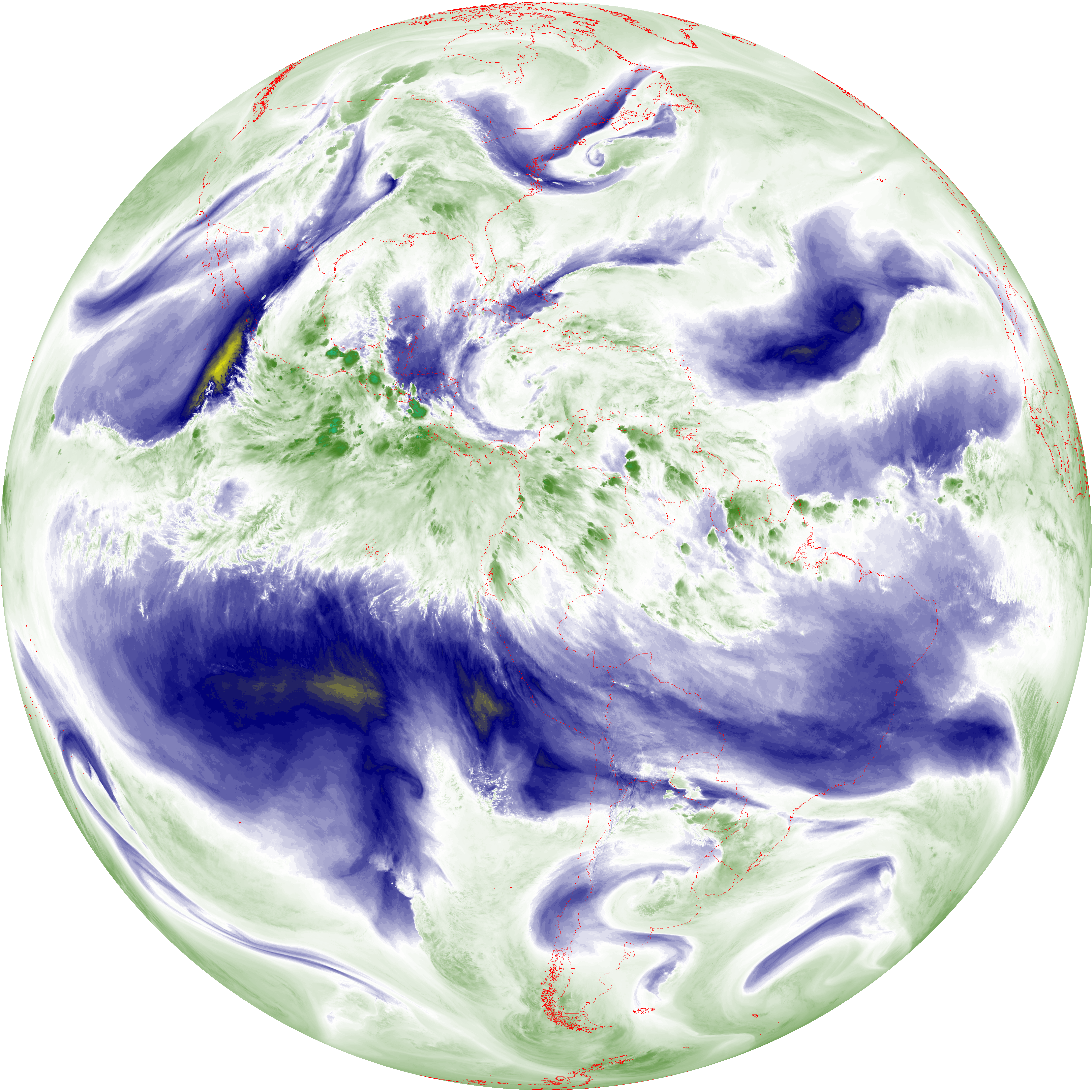
| abi_rgb_Mid-level_Tropospheric_Water_Vapor_map.png | 8887089 | 2026-Jun-08 02:21 |
| G19_14_20260608T020021Z.png | 10336841 | 2026-Jun-08 02:24 |
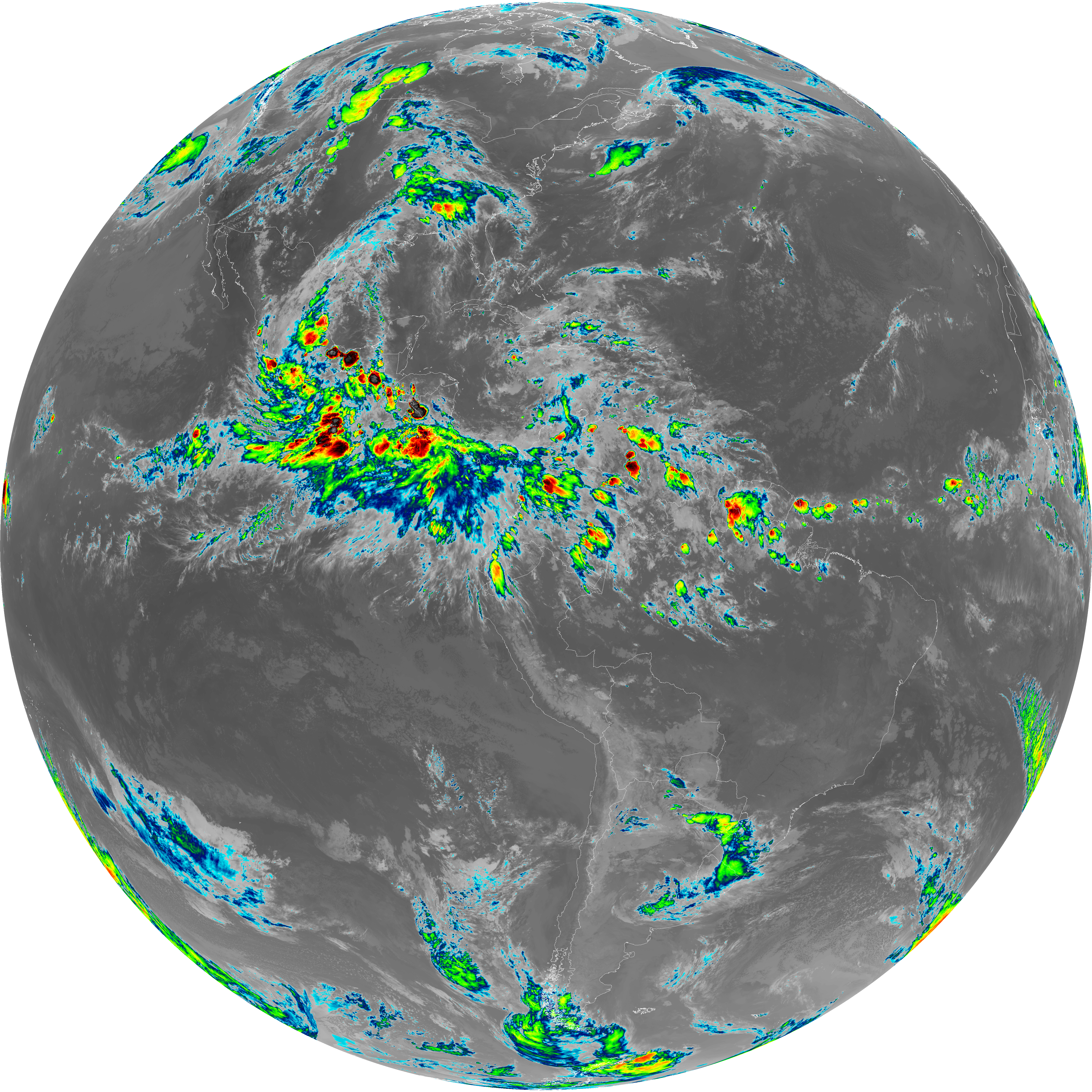
| abi_rgb_Infrared_Longwave_Window_Band.png | 13848547 | 2026-Jun-08 02:24 |
| abi_rgb_Infrared_Longwave_Window_Band_map.png | 13894228 | 2026-Jun-08 02:24 |
| G19_15_20260608T020021Z.png | 10071579 | 2026-Jun-08 02:27 |
| abi_rgb_Dirty_Longwave_Window.png | 13536164 | 2026-Jun-08 02:27 |
| abi_rgb_Dirty_Longwave_Window_map.png | 13585263 | 2026-Jun-08 02:27 |
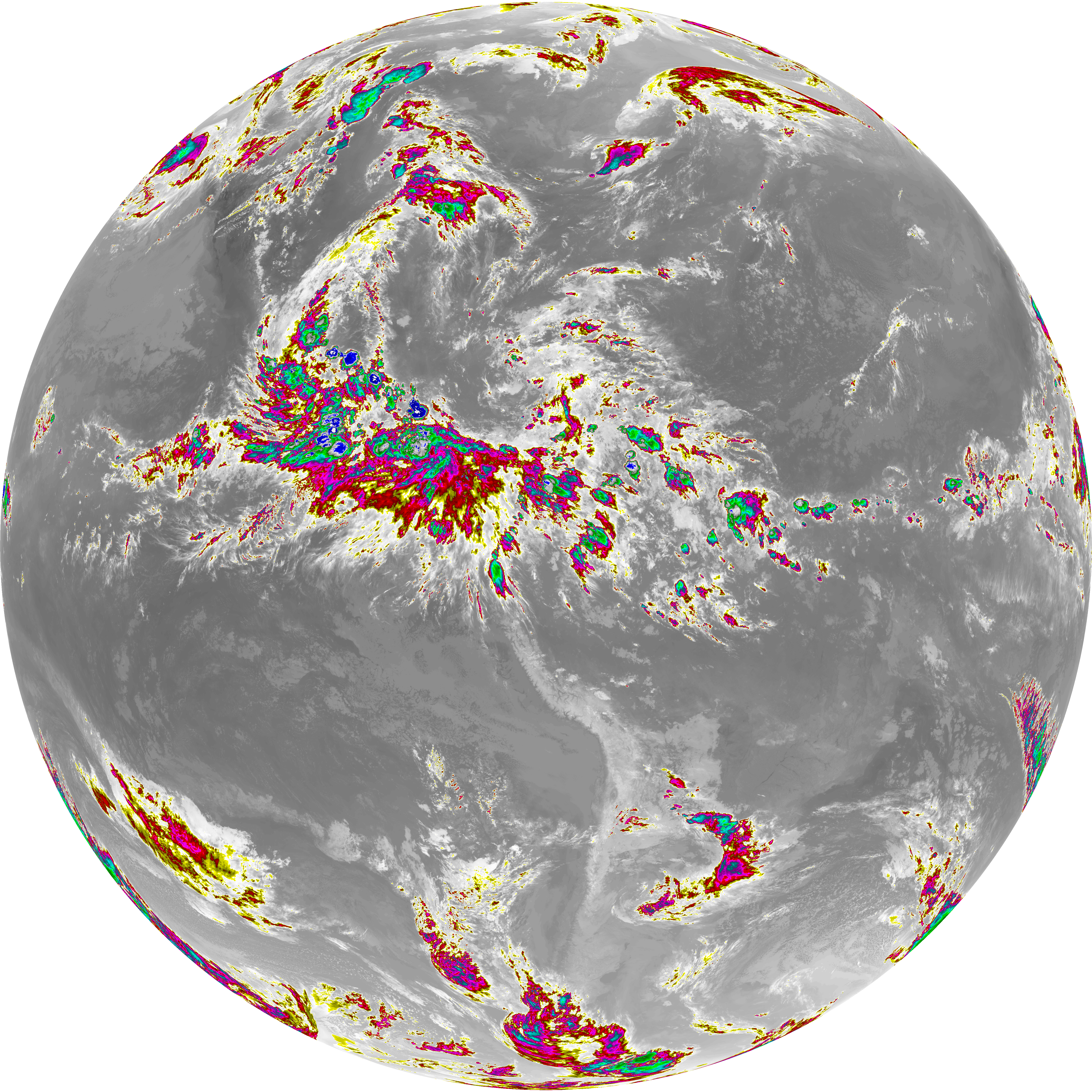
| abi_rgb_Dirty_Longwave_Window_-_CIRA.png | 11901043 | 2026-Jun-08 02:27 |
| abi_rgb_Dirty_Longwave_Window_-_CIRA_map.png | 11961973 | 2026-Jun-08 02:27 |