| Parent directory/ | - | - |
| G19_7_20260608T023021Z.png | 11165301 | 2026-Jun-08 02:43 |
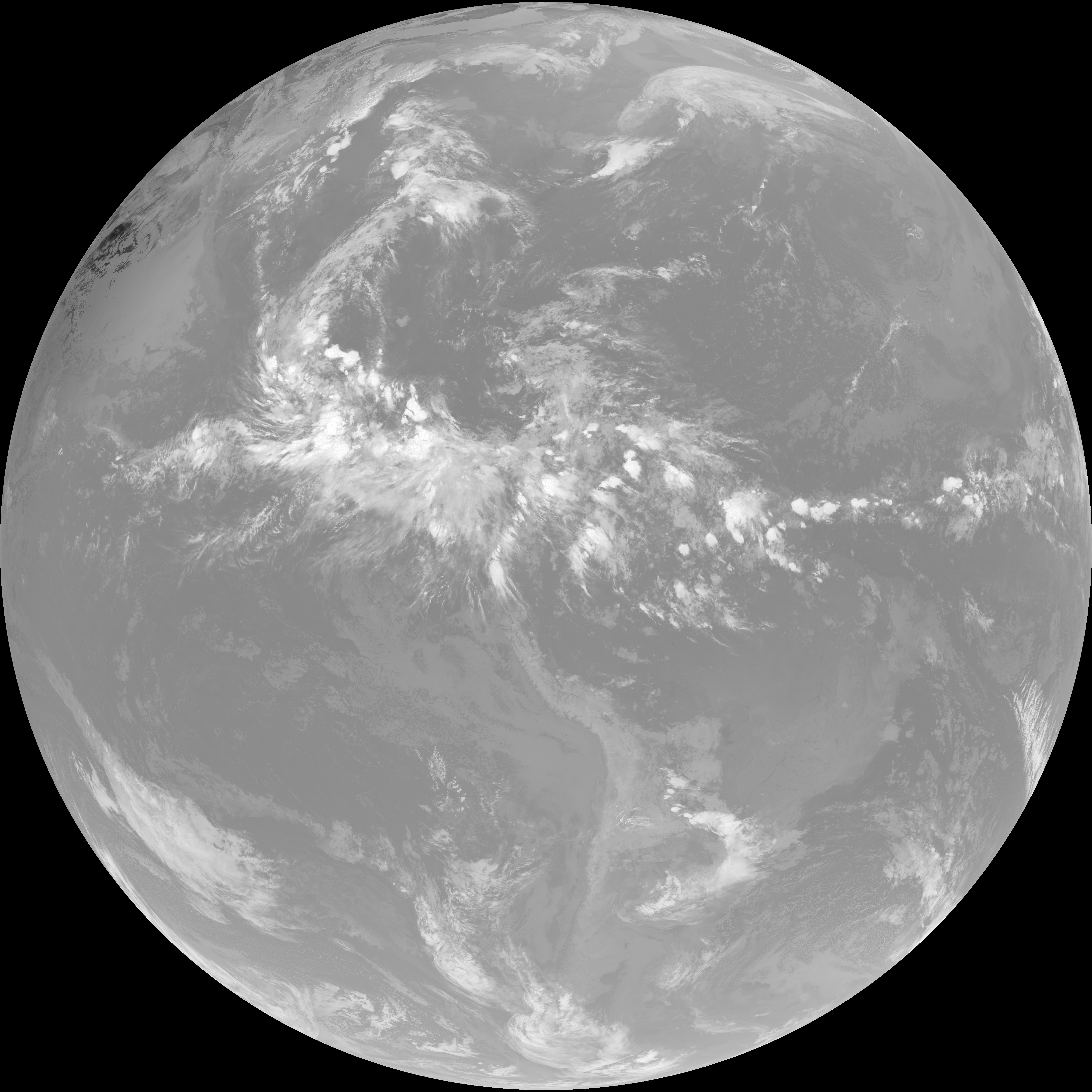
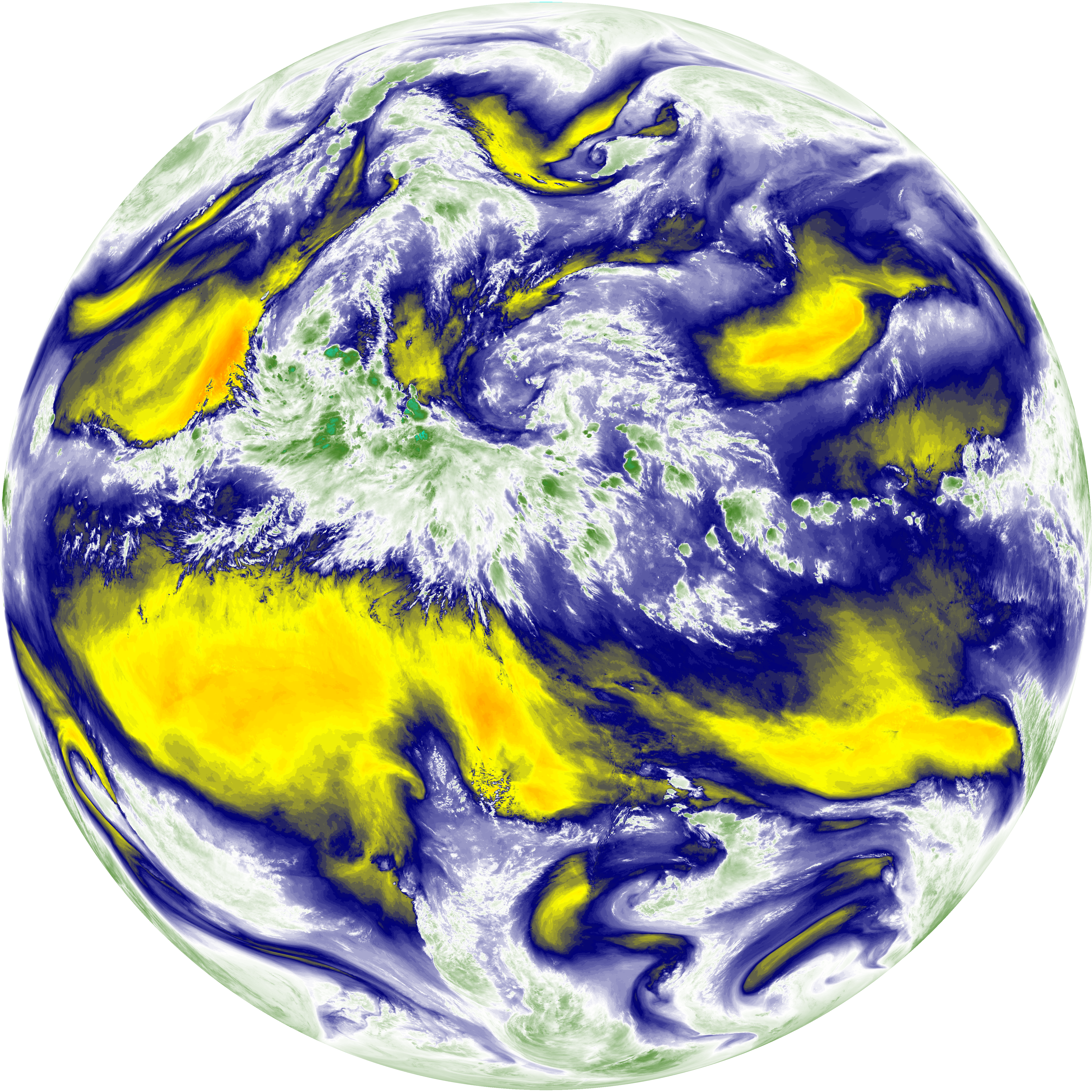
| abi_rgb_Shortwave_Window_Band.png | 15279638 | 2026-Jun-08 02:43 |
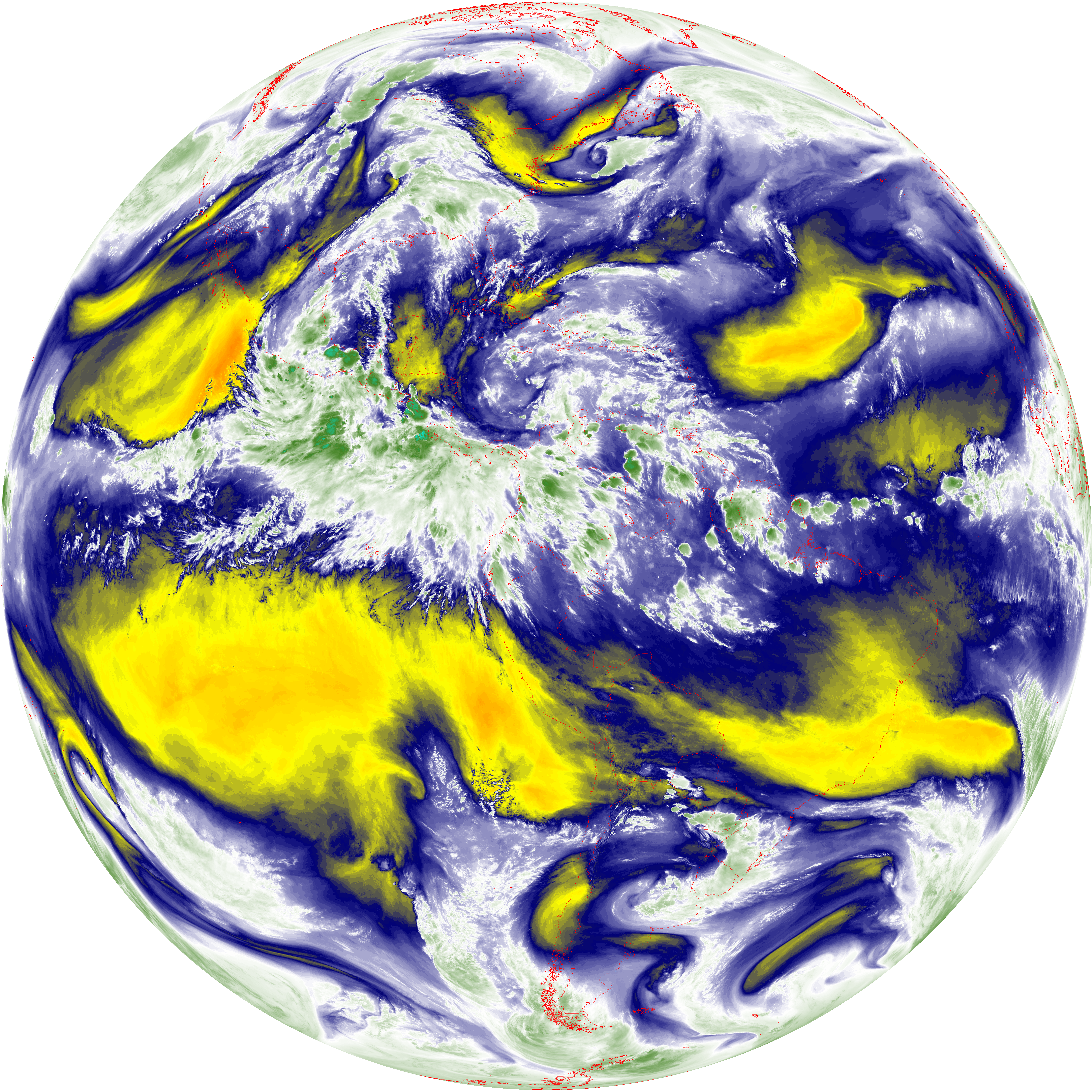
| abi_rgb_Shortwave_Window_Band_map.png | 15334154 | 2026-Jun-08 02:43 |
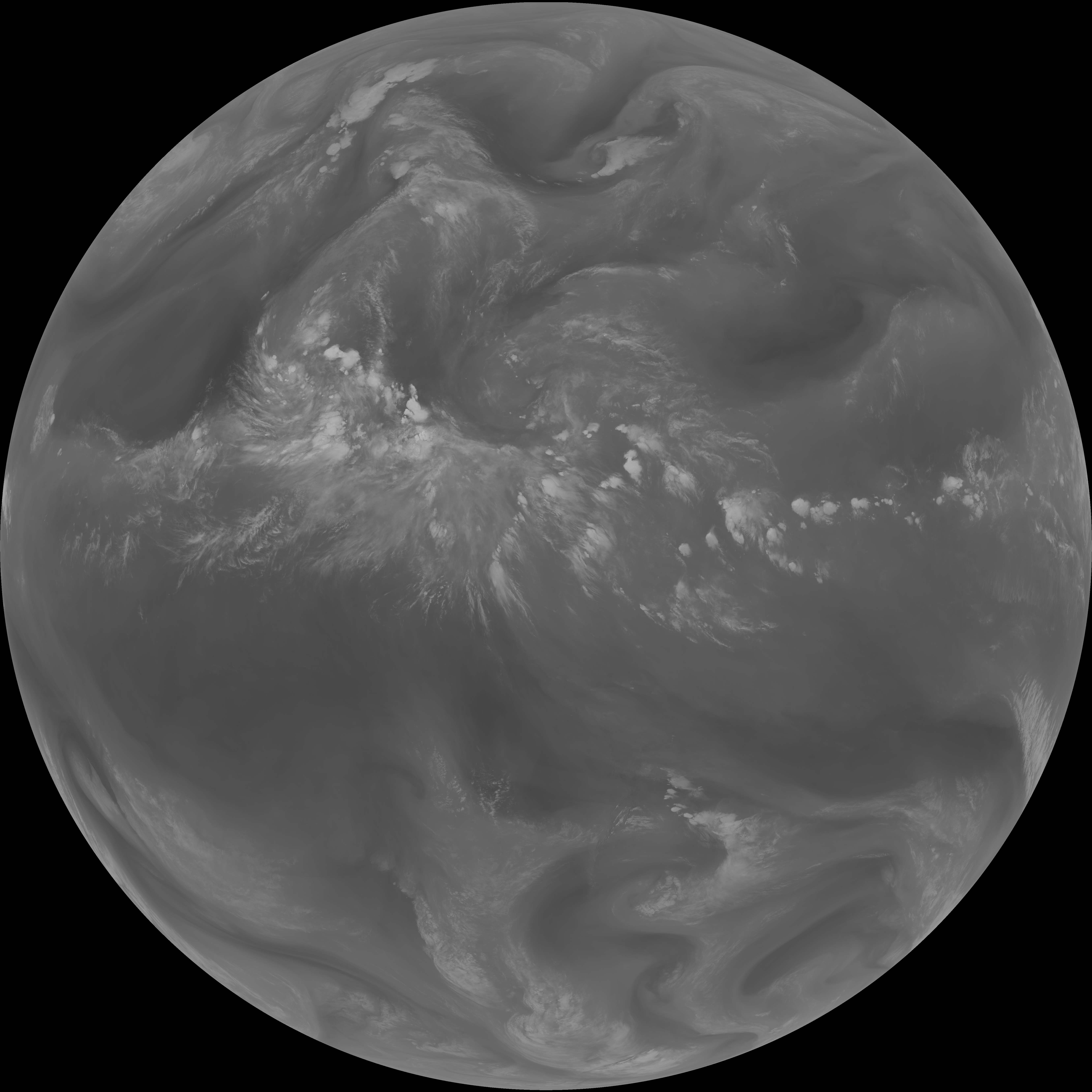
| G19_13_20260608T023021Z.png | 10162685 | 2026-Jun-08 02:46 |
| abi_rgb_Clean_Longwave_IR_Window_Band.png | 13644253 | 2026-Jun-08 02:46 |
| abi_rgb_Clean_Longwave_IR_Window_Band_map.png | 13691520 | 2026-Jun-08 02:46 |
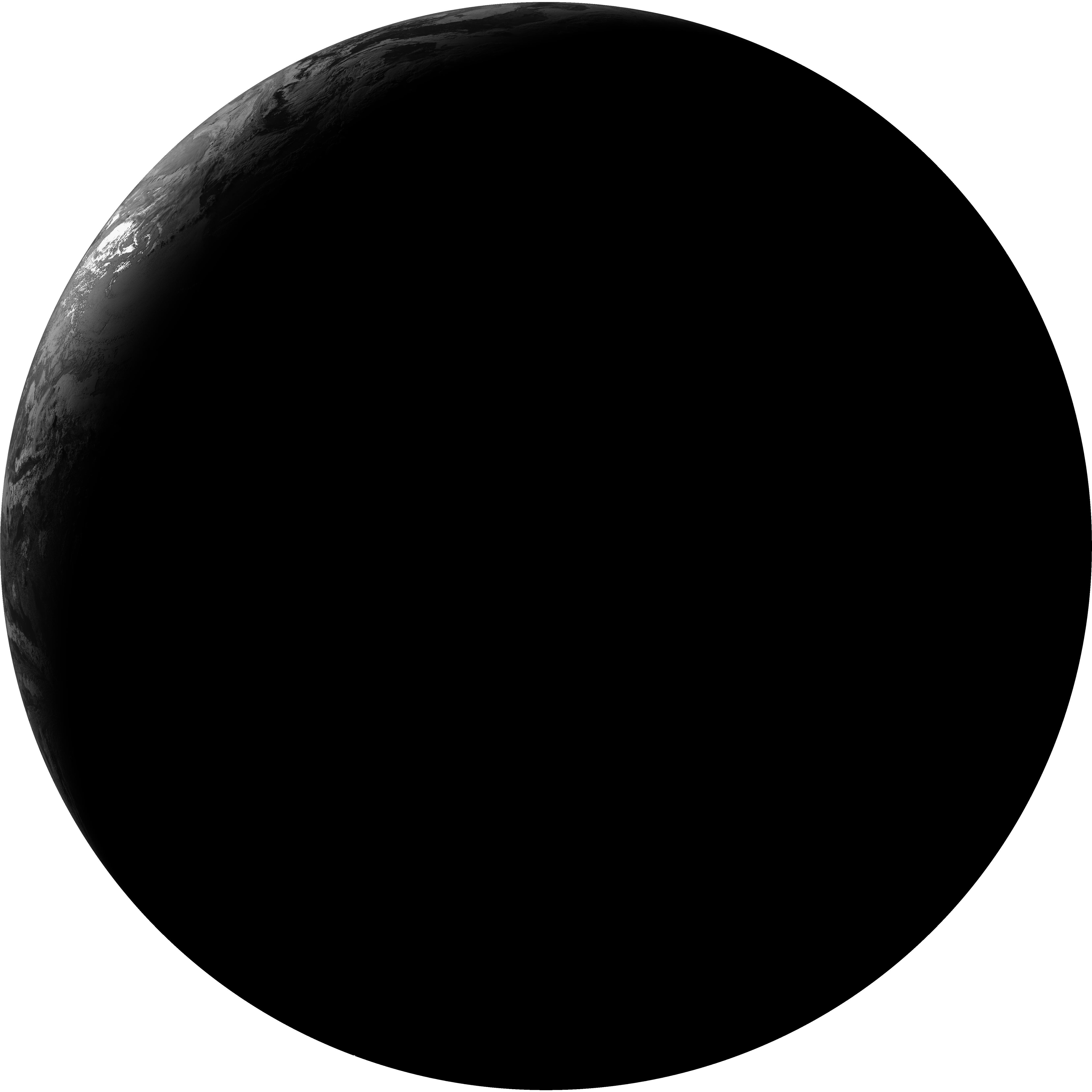
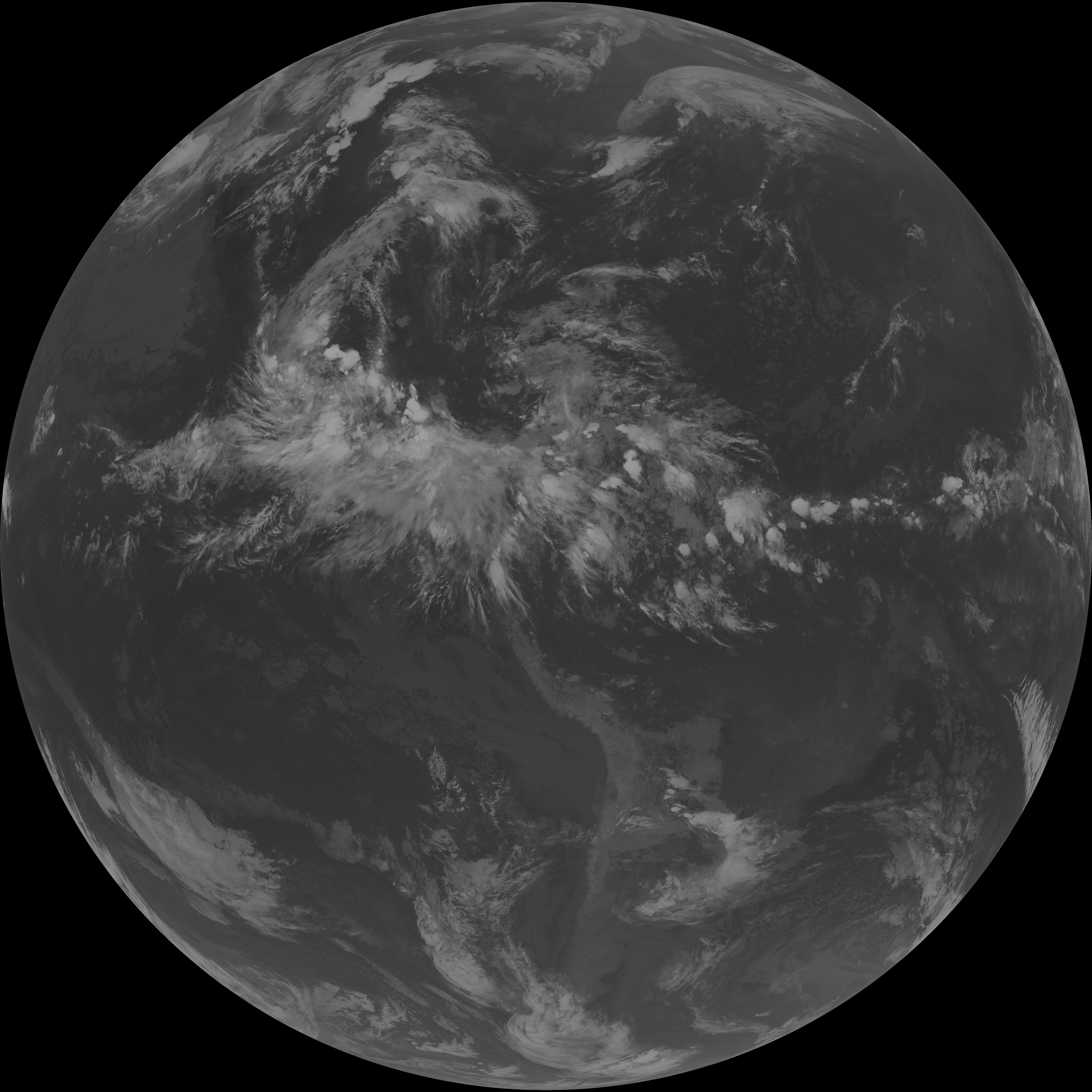
| G19_2_20260608T023021Z.png | 1687150 | 2026-Jun-08 02:46 |
| G19_8_20260608T023021Z.png | 5584076 | 2026-Jun-08 02:48 |
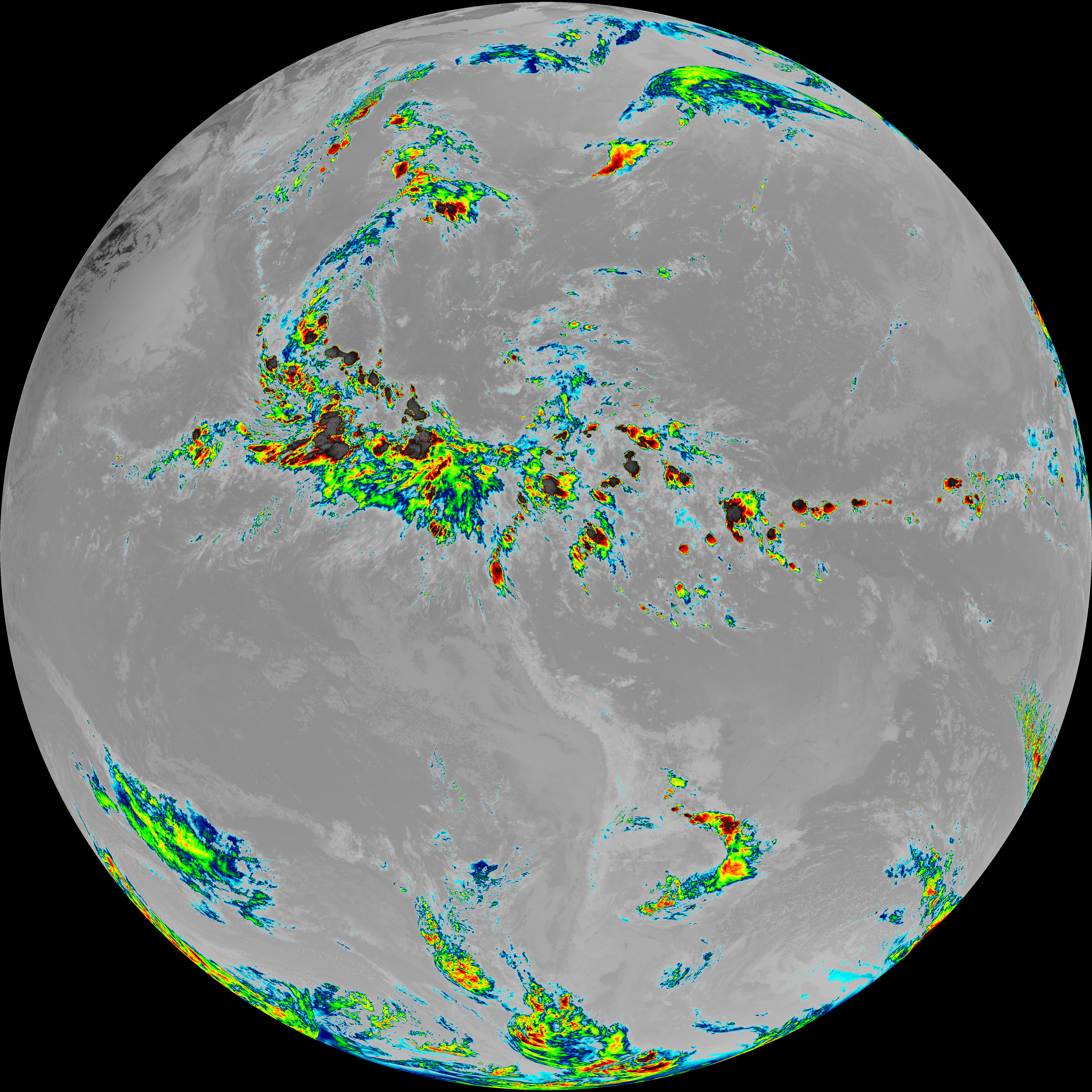
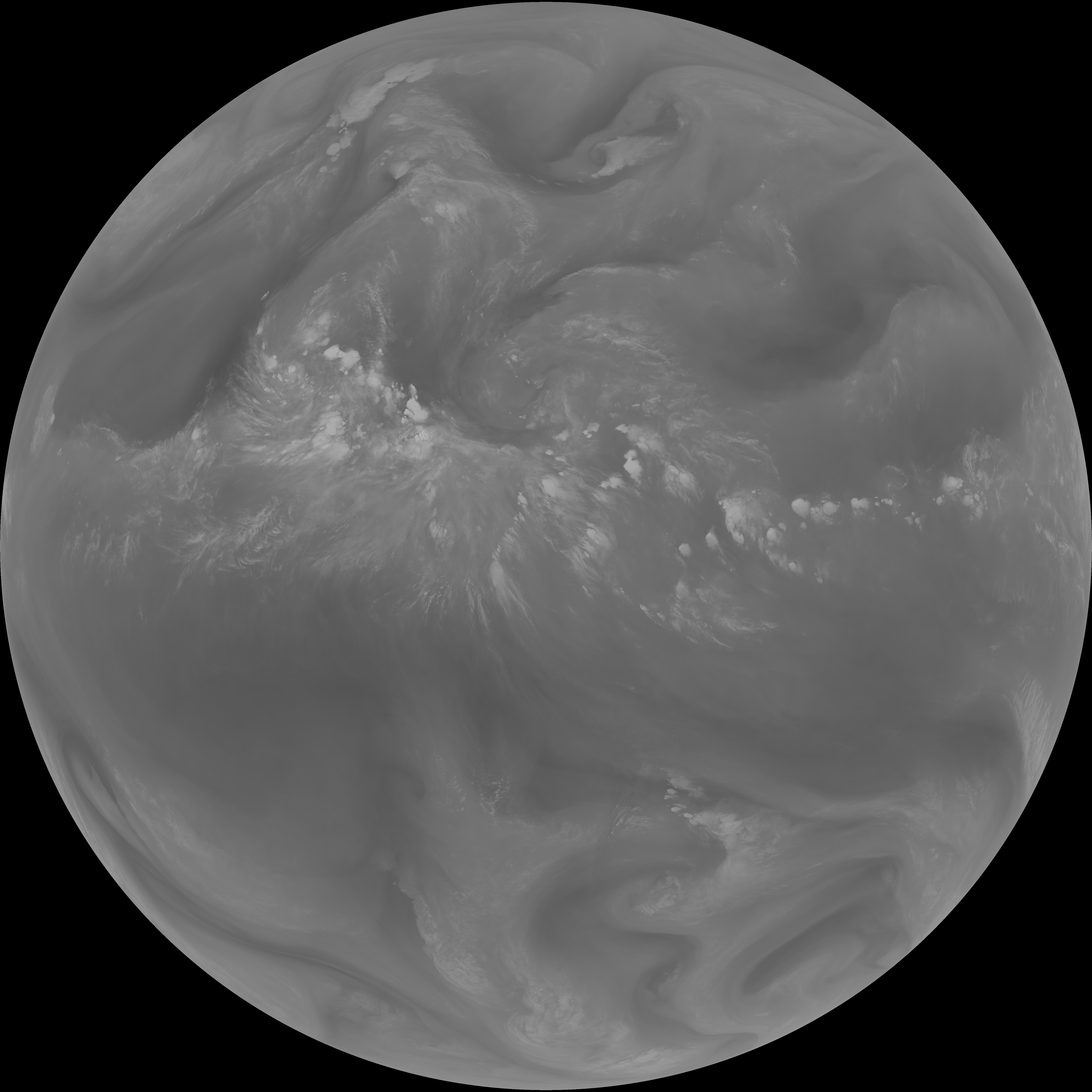
| abi_rgb_Upper-Level_Tropospheric_Water_Vapor.png | 7489221 | 2026-Jun-08 02:49 |
| abi_rgb_Upper-Level_Tropospheric_Water_Vapor_map.png | 7598914 | 2026-Jun-08 02:49 |
| G19_9_20260608T023021Z.png | 6472778 | 2026-Jun-08 02:50 |
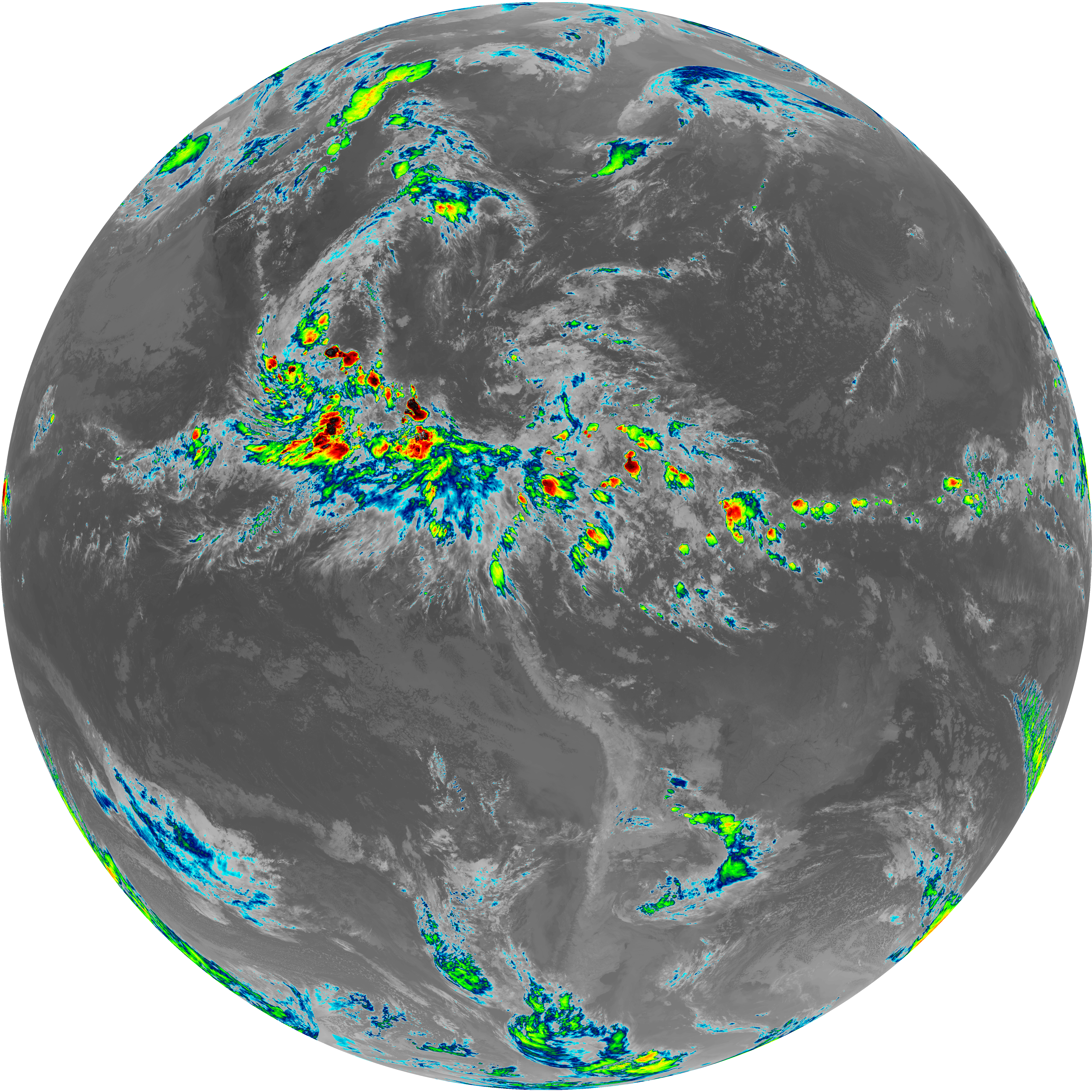
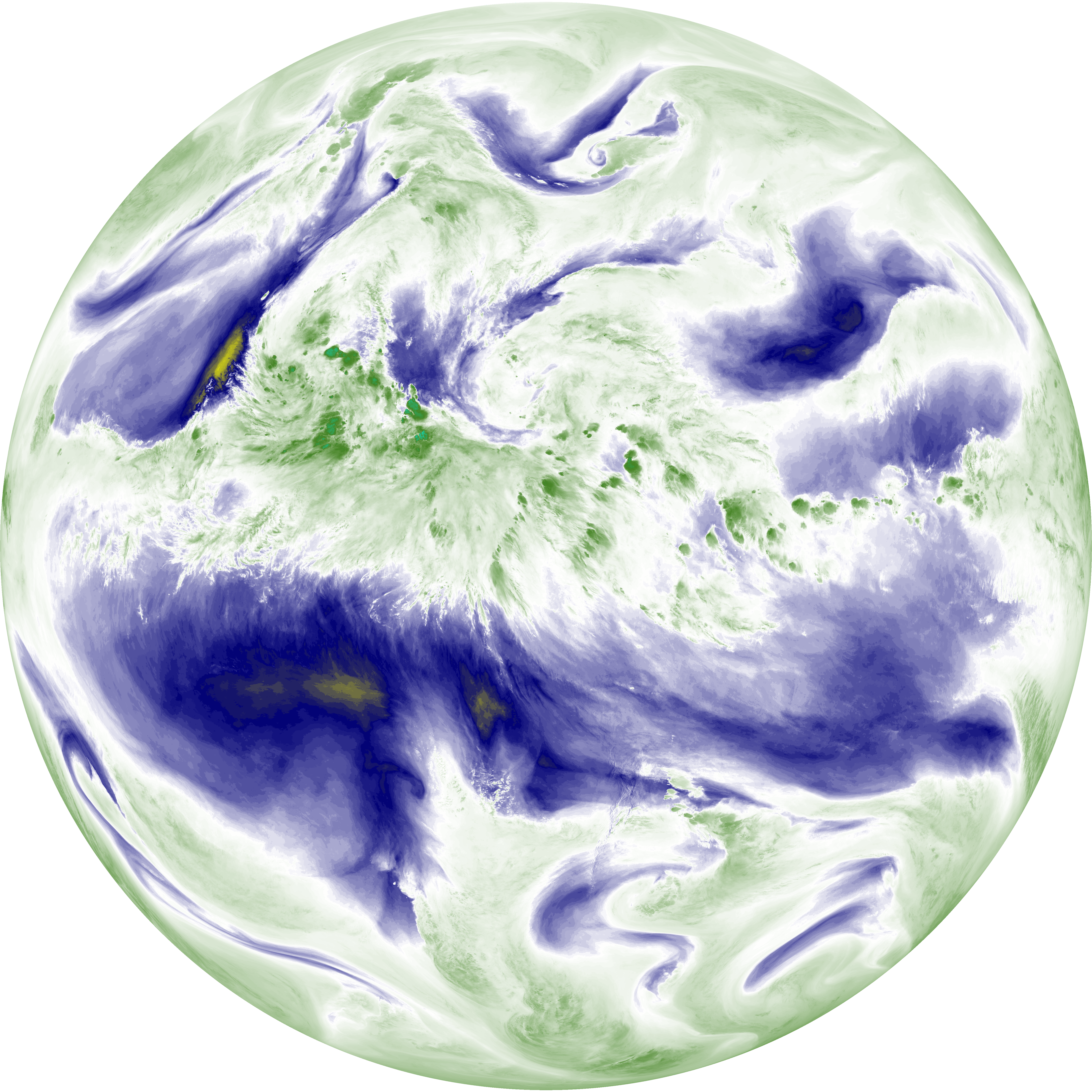
| abi_rgb_Mid-level_Tropospheric_Water_Vapor.png | 8717234 | 2026-Jun-08 02:51 |
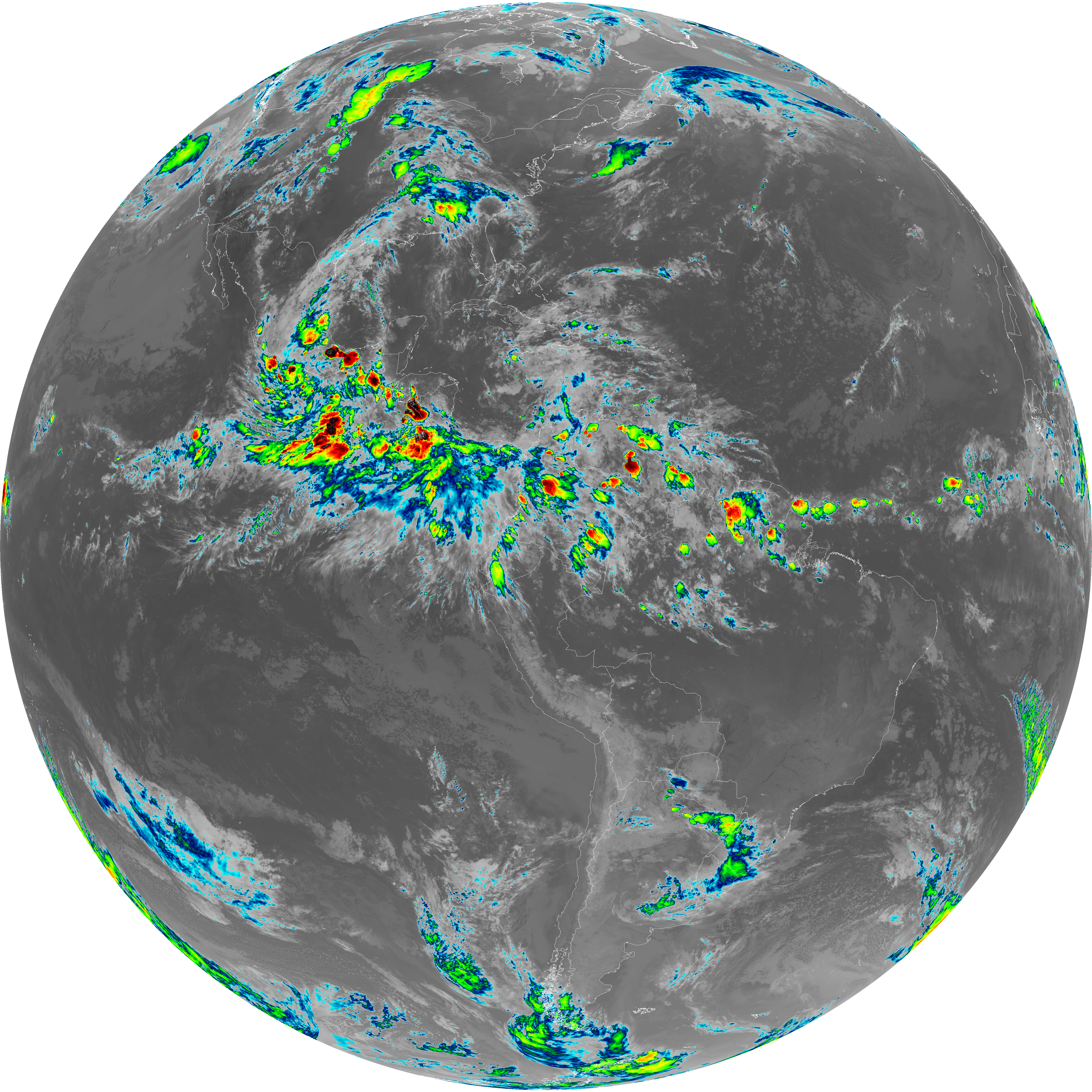
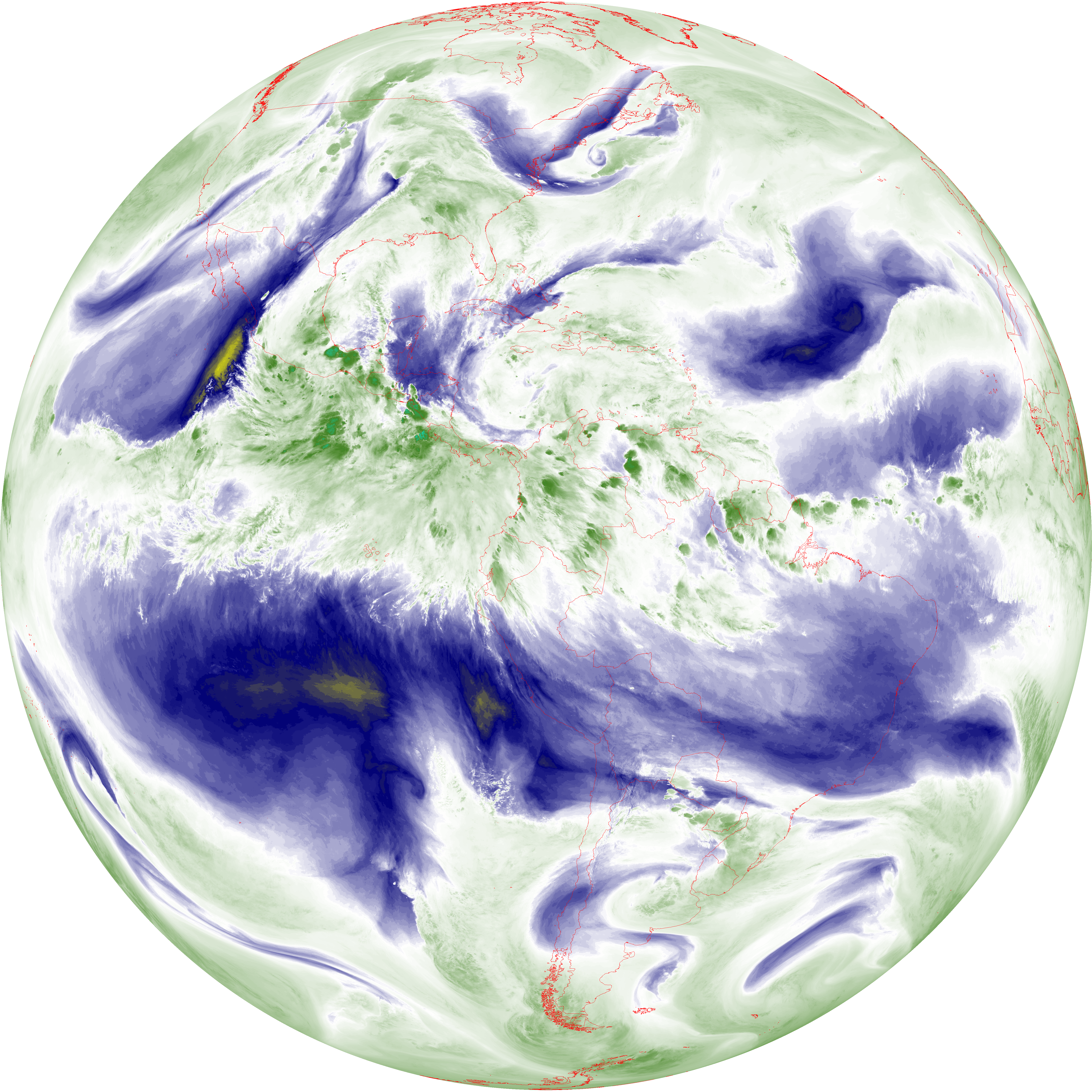
| abi_rgb_Mid-level_Tropospheric_Water_Vapor_map.png | 8815903 | 2026-Jun-08 02:51 |
| G19_14_20260608T023021Z.png | 10317602 | 2026-Jun-08 02:53 |
| abi_rgb_Infrared_Longwave_Window_Band.png | 13822285 | 2026-Jun-08 02:54 |
| abi_rgb_Infrared_Longwave_Window_Band_map.png | 13869098 | 2026-Jun-08 02:54 |
| G19_15_20260608T023021Z.png | 10049689 | 2026-Jun-08 02:56 |
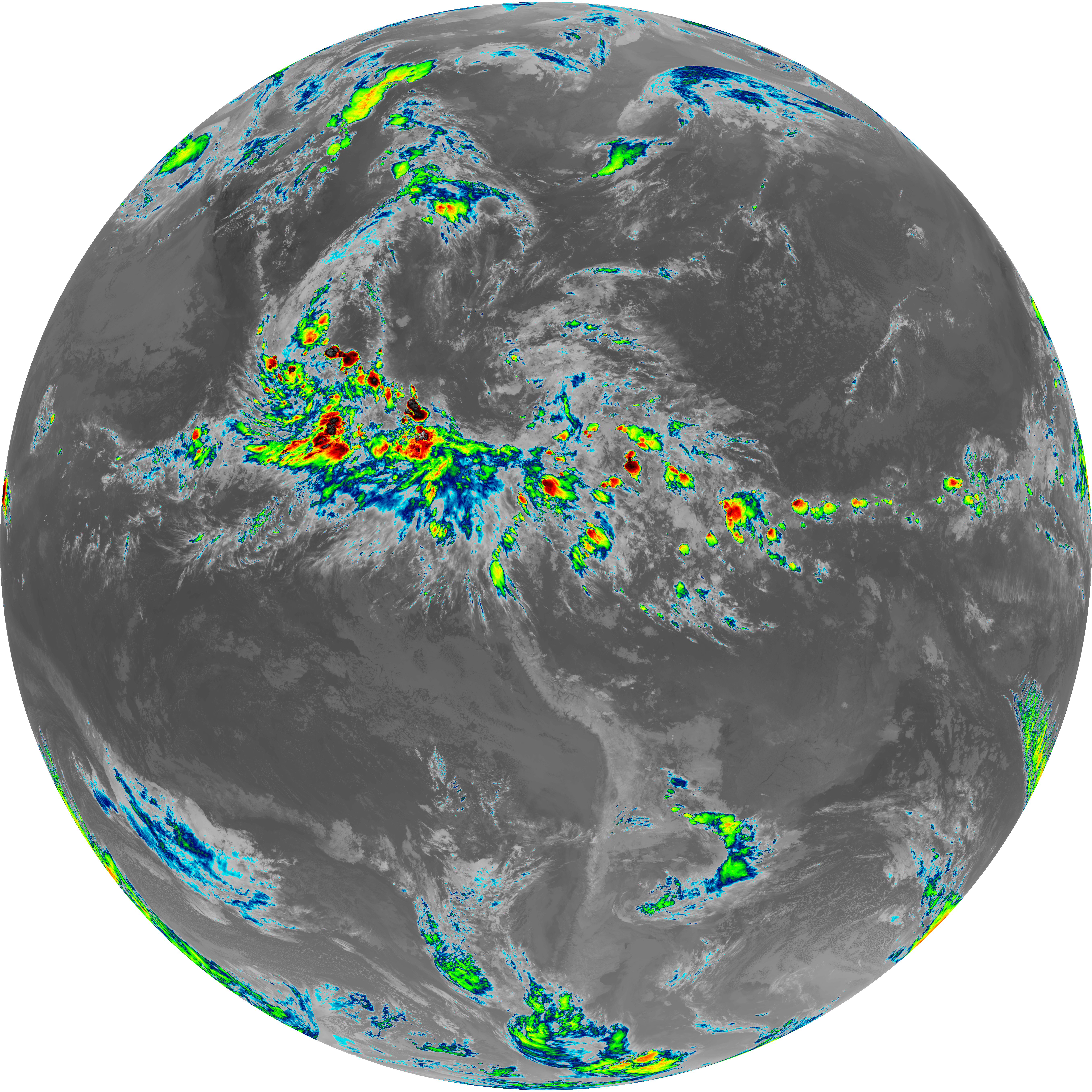
| abi_rgb_Dirty_Longwave_Window.png | 13505839 | 2026-Jun-08 02:57 |
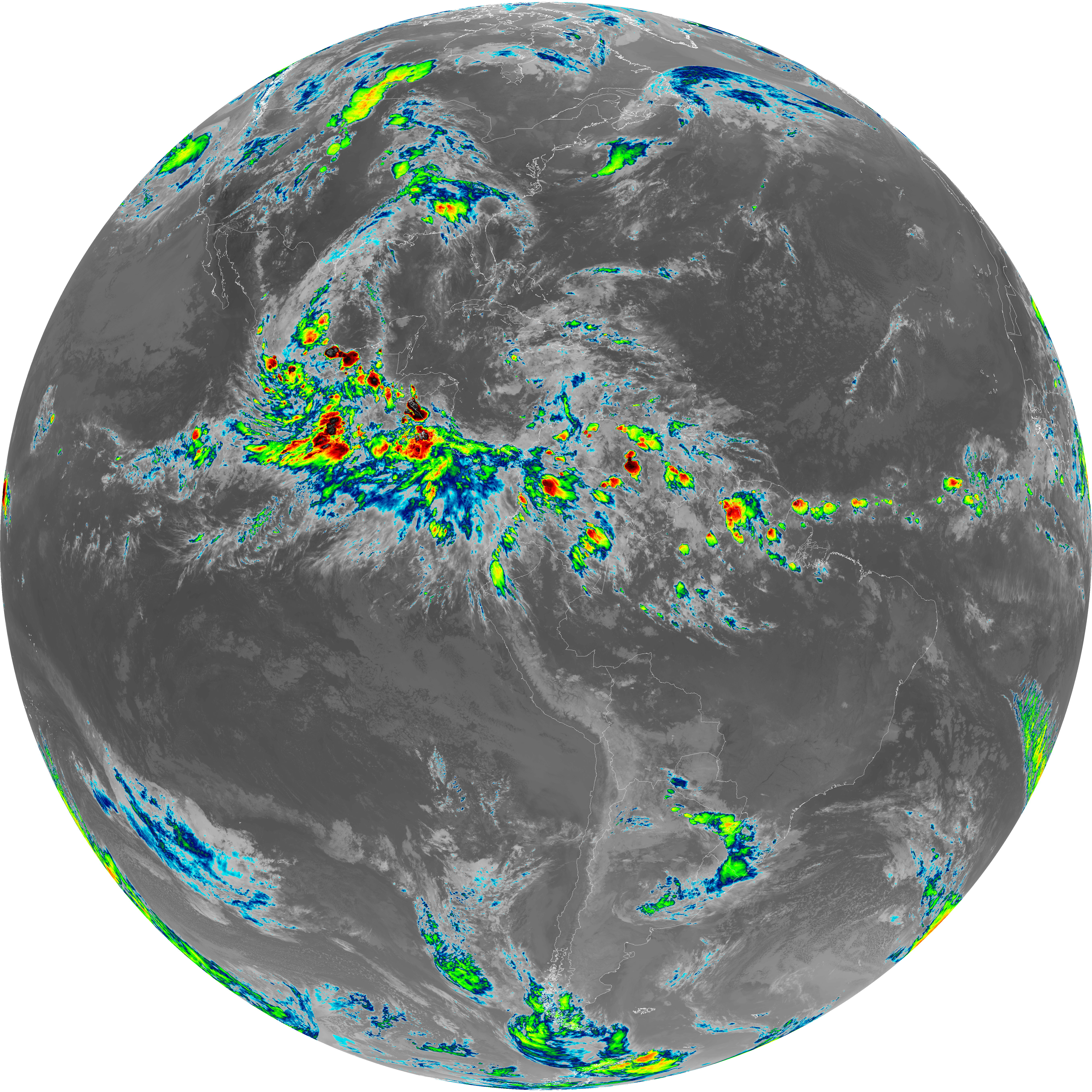
| abi_rgb_Dirty_Longwave_Window_map.png | 13555517 | 2026-Jun-08 02:57 |
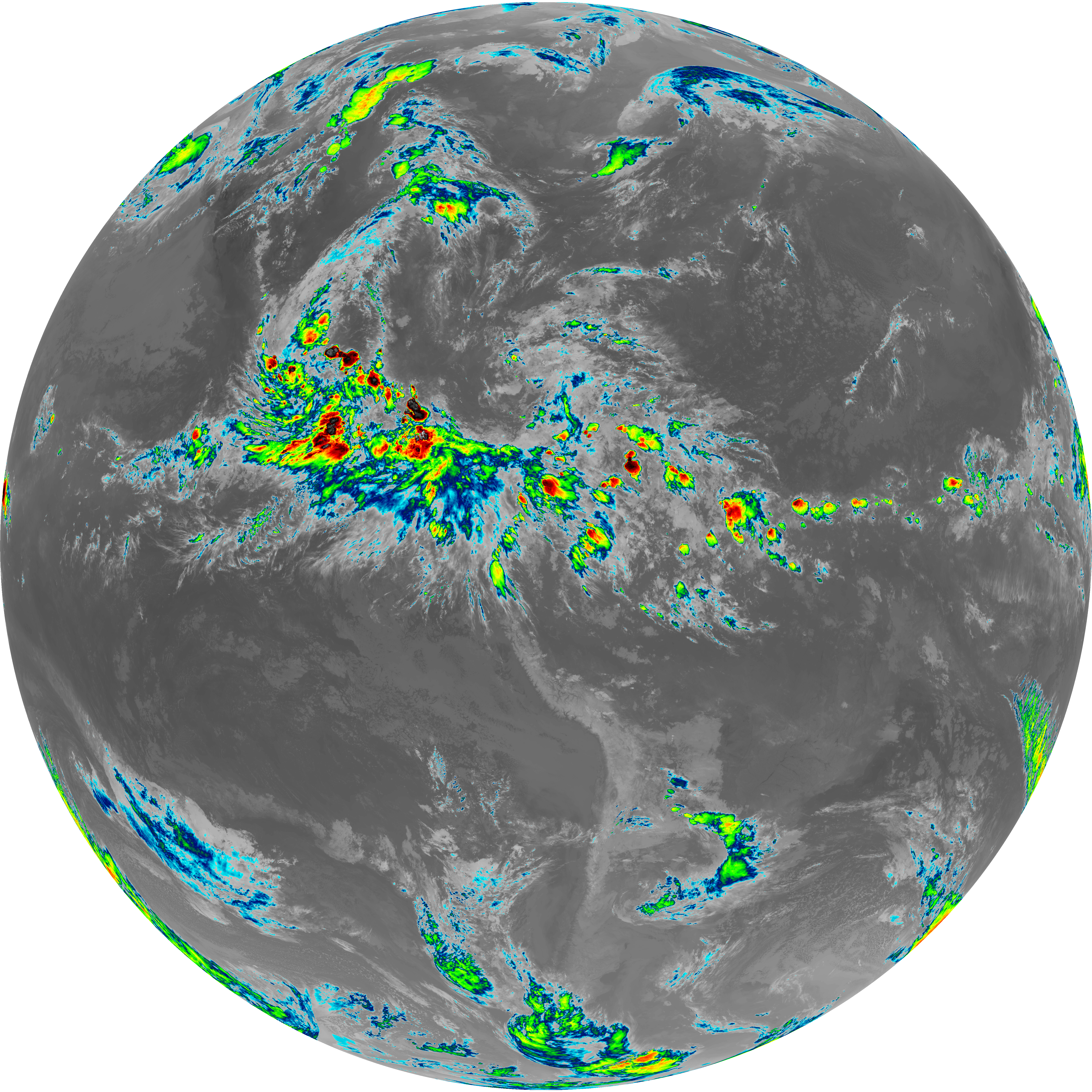
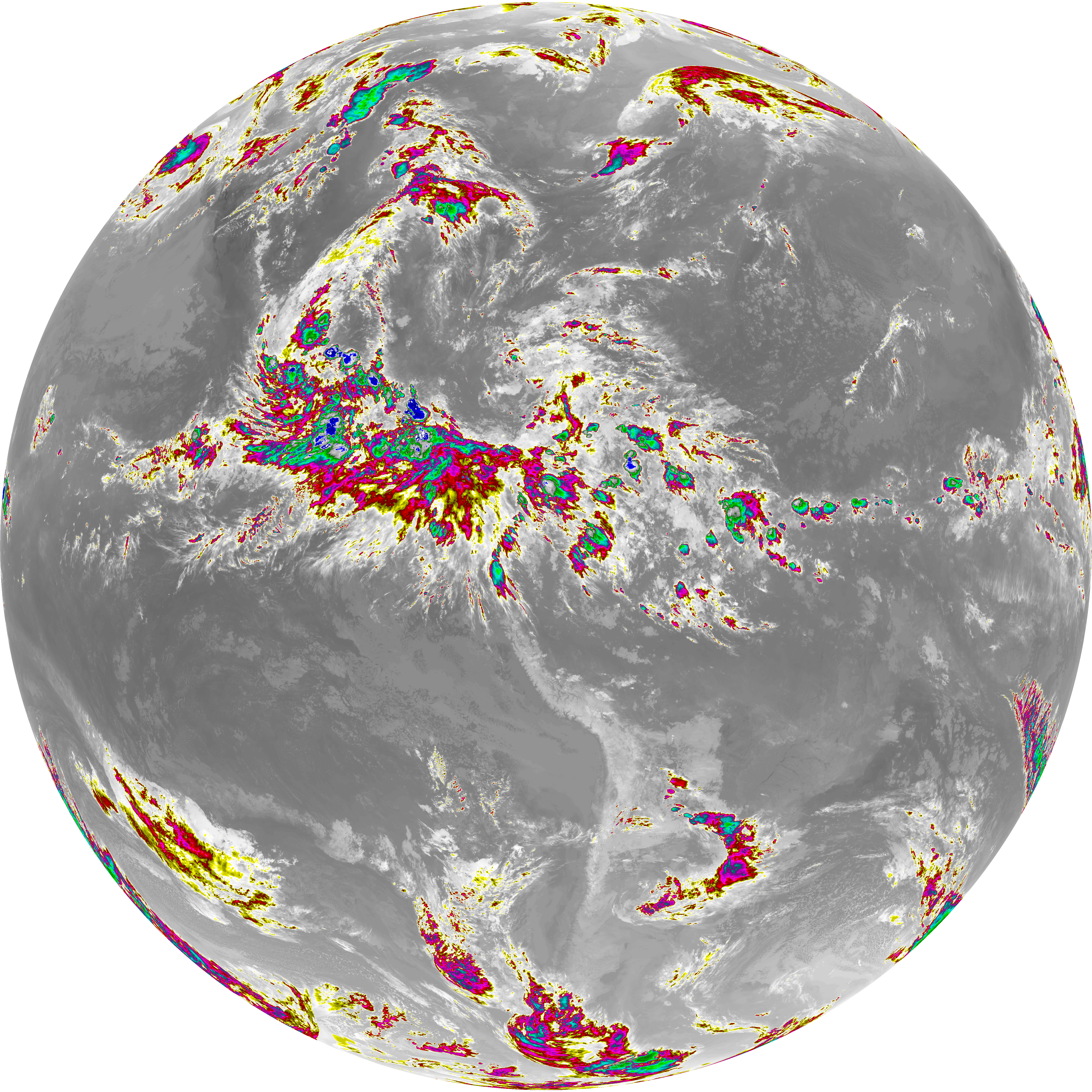
| abi_rgb_Dirty_Longwave_Window_-_CIRA.png | 11860902 | 2026-Jun-08 02:57 |
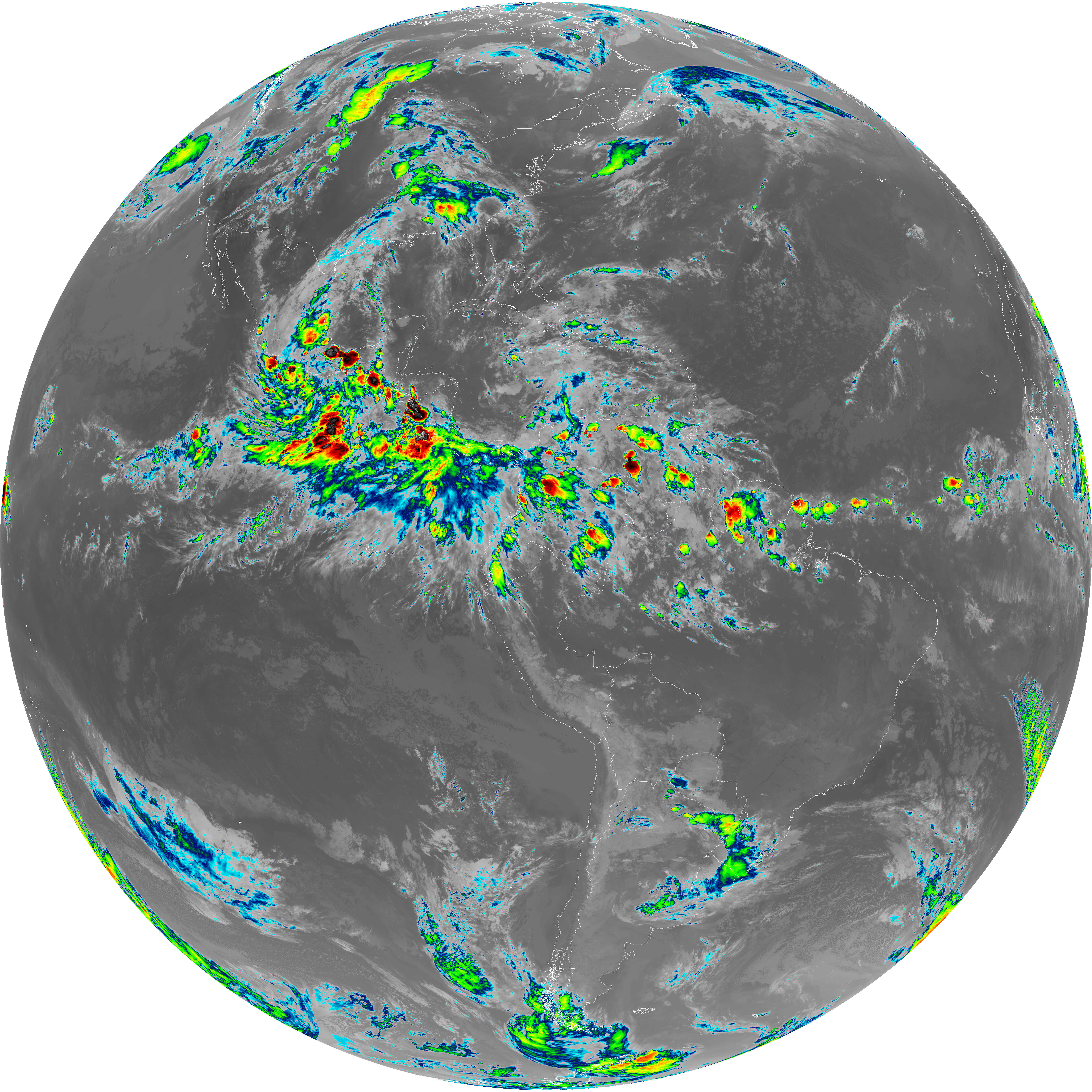
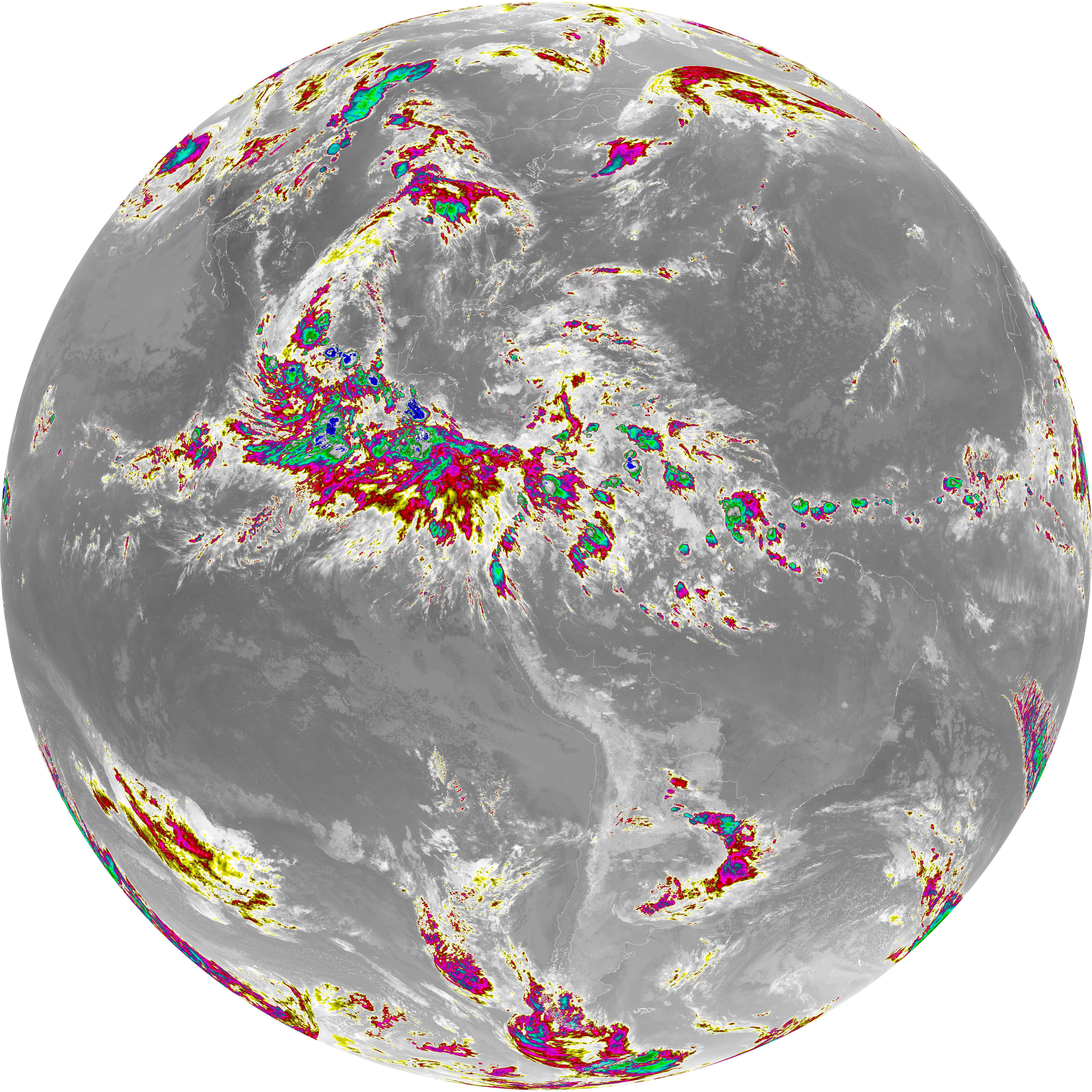
| abi_rgb_Dirty_Longwave_Window_-_CIRA_map.png | 11923333 | 2026-Jun-08 02:57 |