| Parent directory/ | - | - |
| G19_7_20260608T030021Z.png | 11126338 | 2026-Jun-08 03:13 |
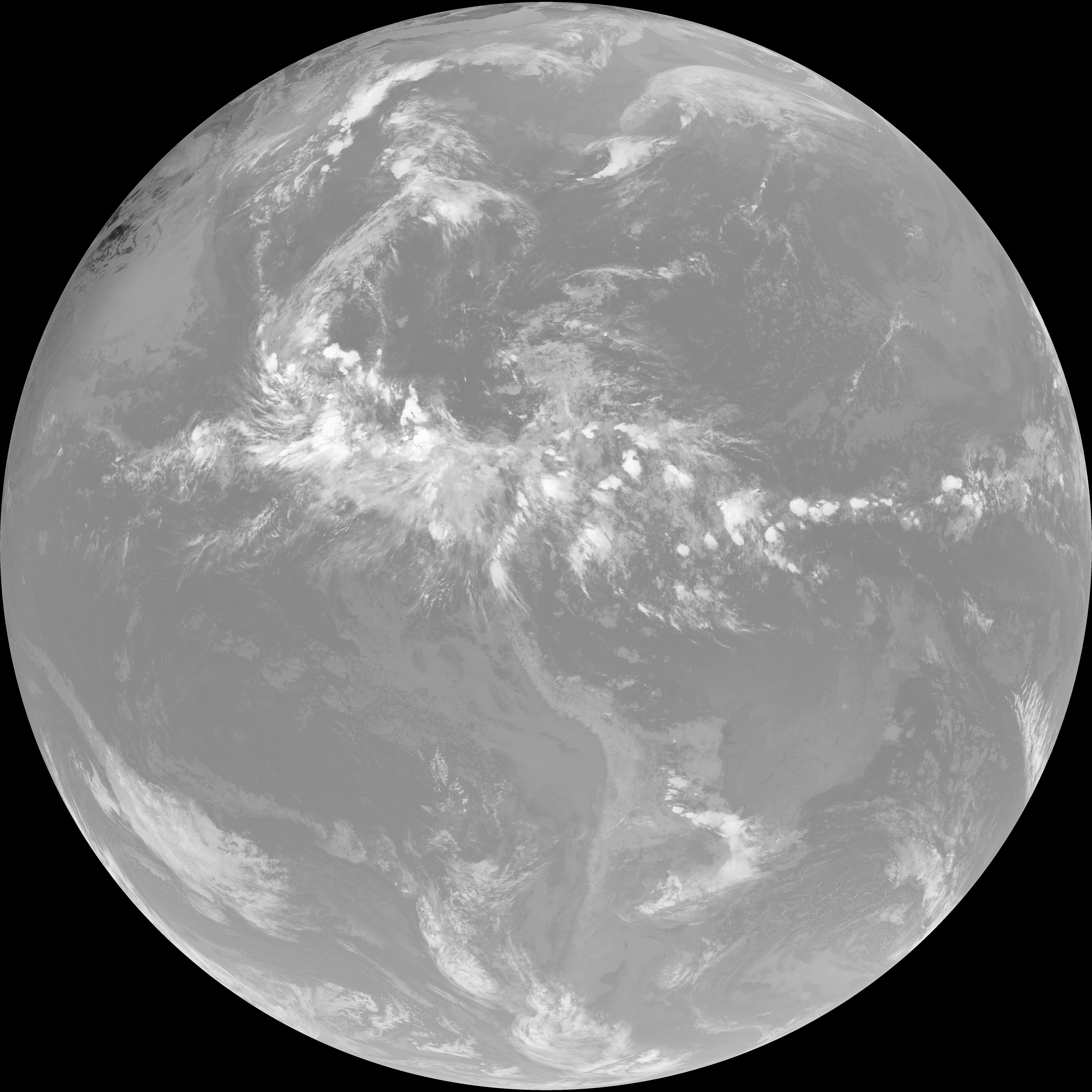
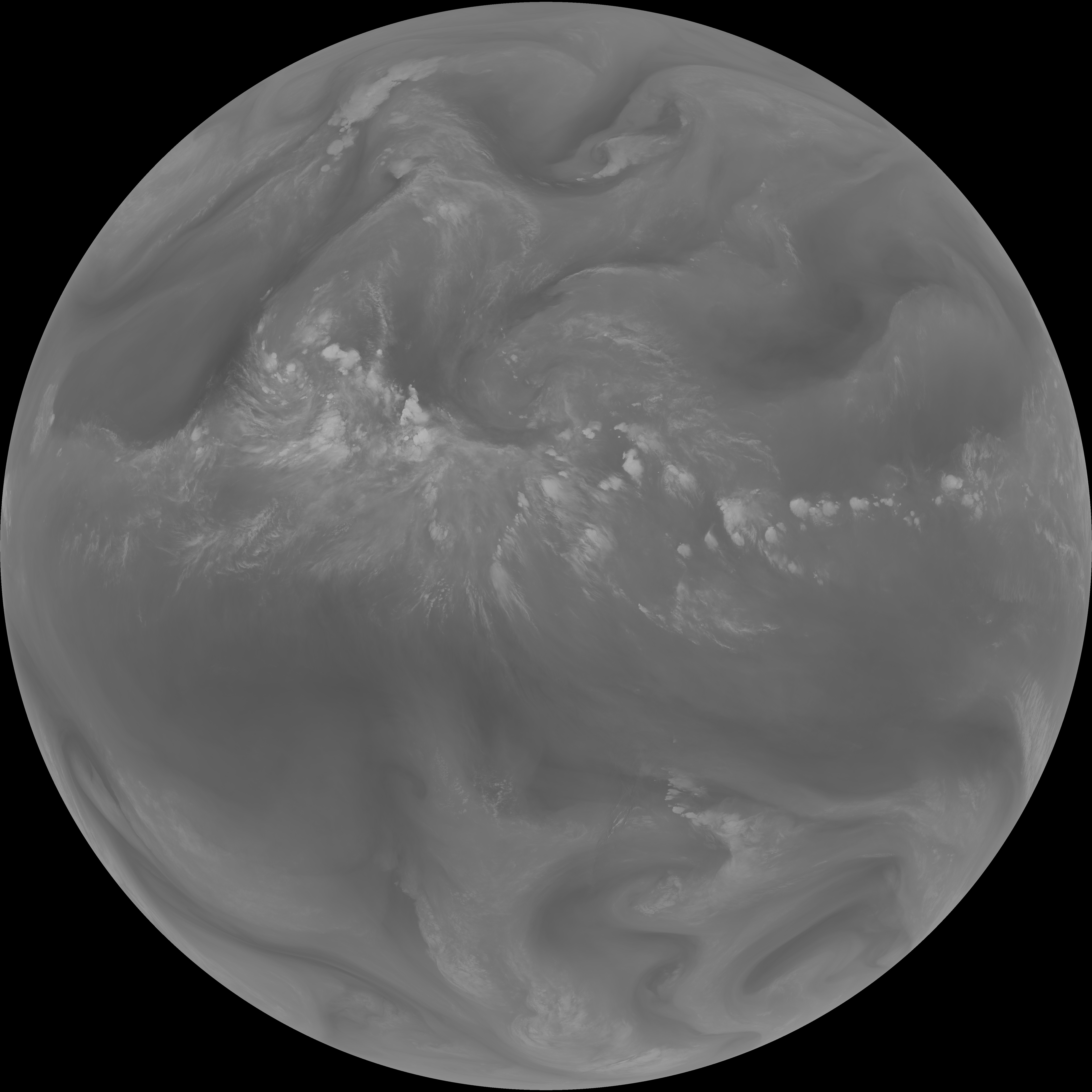
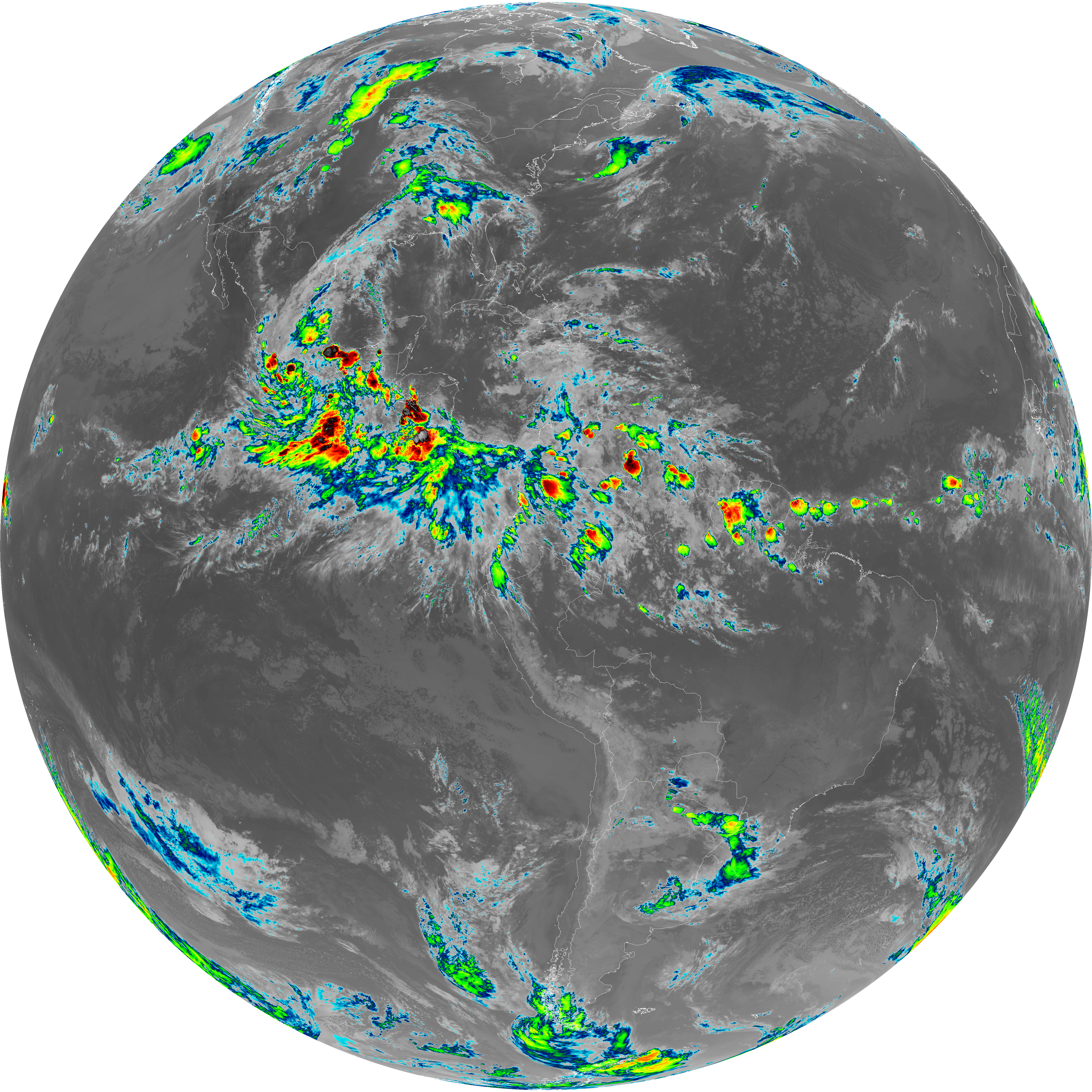
| abi_rgb_Shortwave_Window_Band.png | 15254190 | 2026-Jun-08 03:13 |
| abi_rgb_Shortwave_Window_Band_map.png | 15308347 | 2026-Jun-08 03:13 |
| G19_13_20260608T030021Z.png | 10148127 | 2026-Jun-08 03:16 |
| abi_rgb_Clean_Longwave_IR_Window_Band.png | 13617382 | 2026-Jun-08 03:16 |
| abi_rgb_Clean_Longwave_IR_Window_Band_map.png | 13664470 | 2026-Jun-08 03:16 |
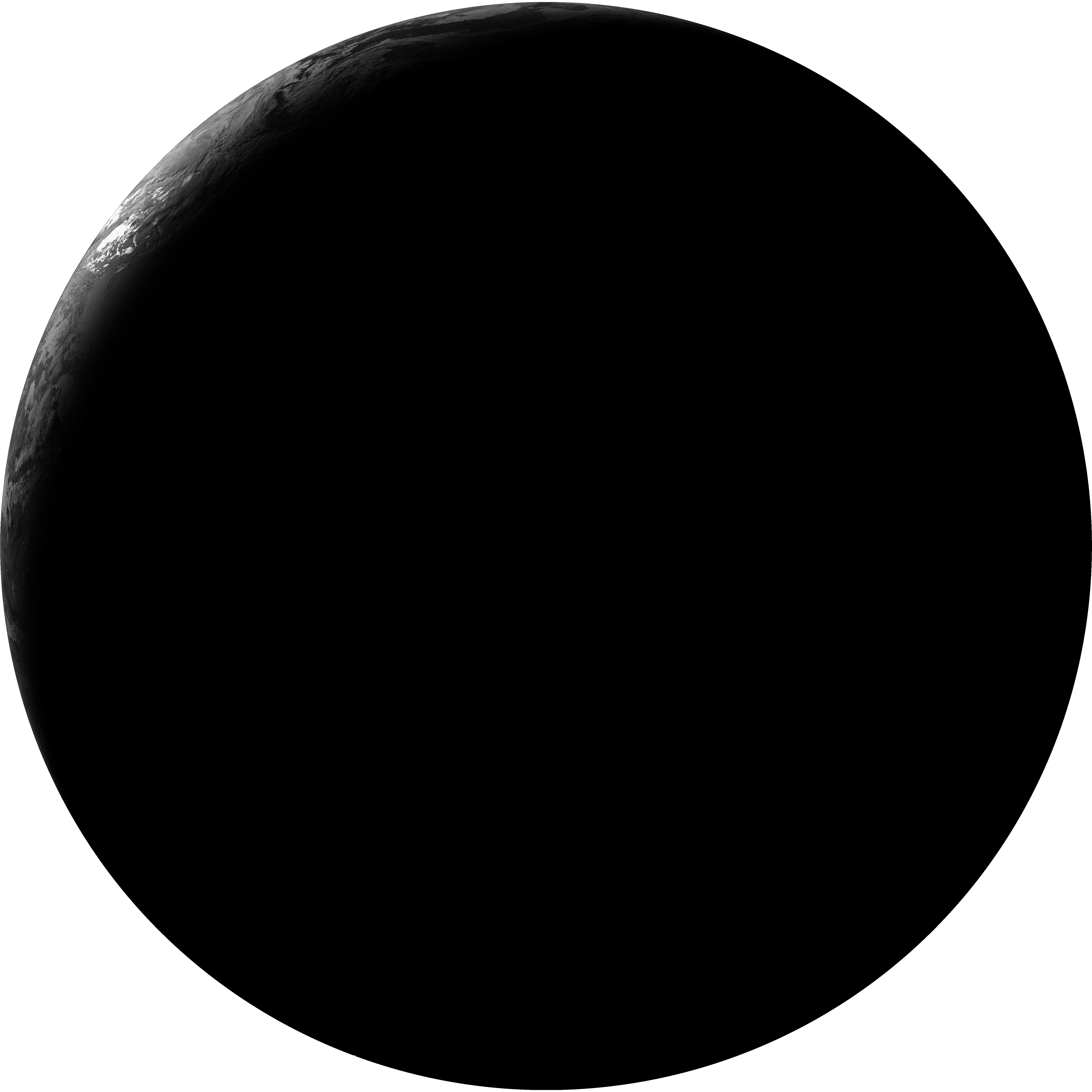
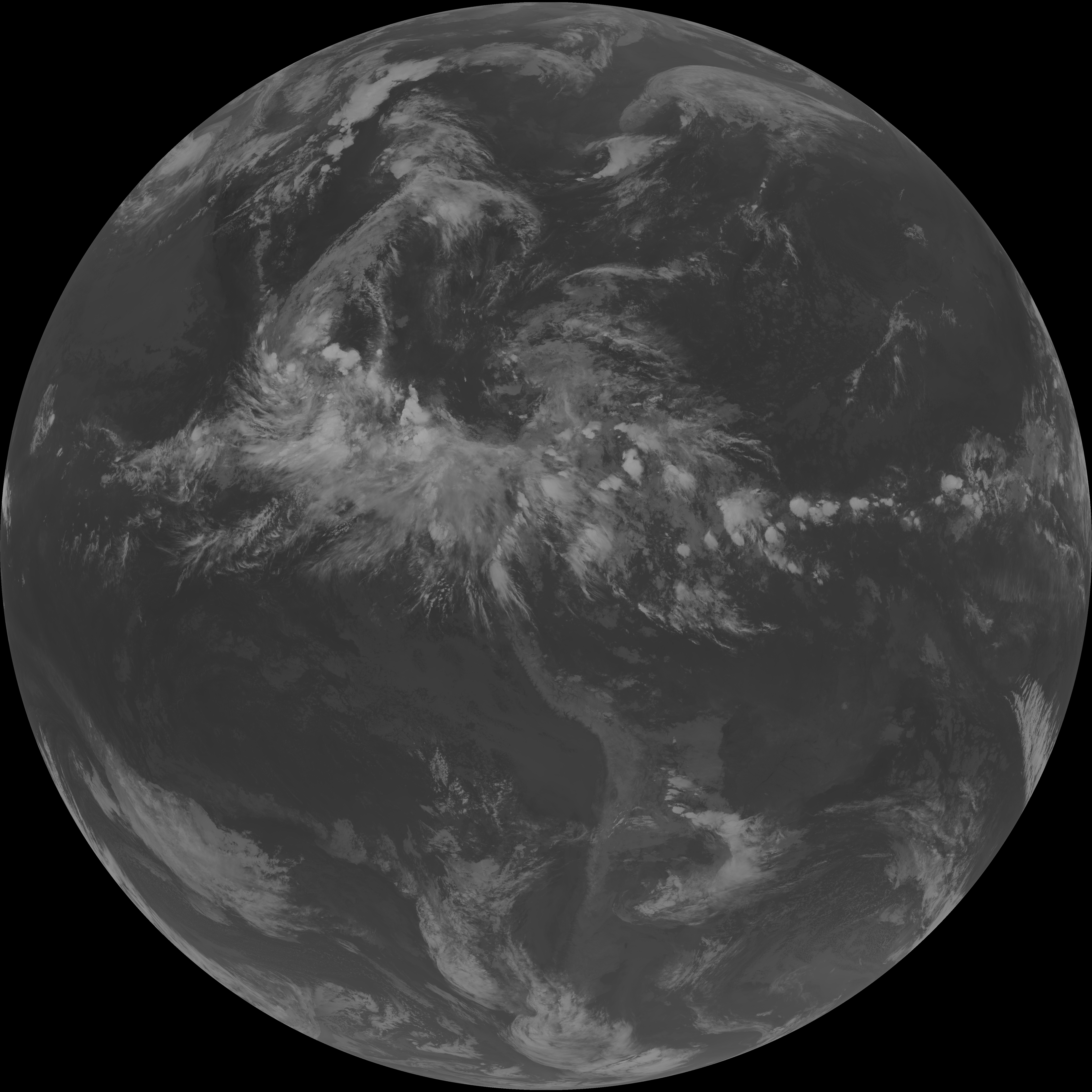
| G19_2_20260608T030021Z.png | 1214416 | 2026-Jun-08 03:16 |
| G19_8_20260608T030021Z.png | 5543651 | 2026-Jun-08 03:18 |
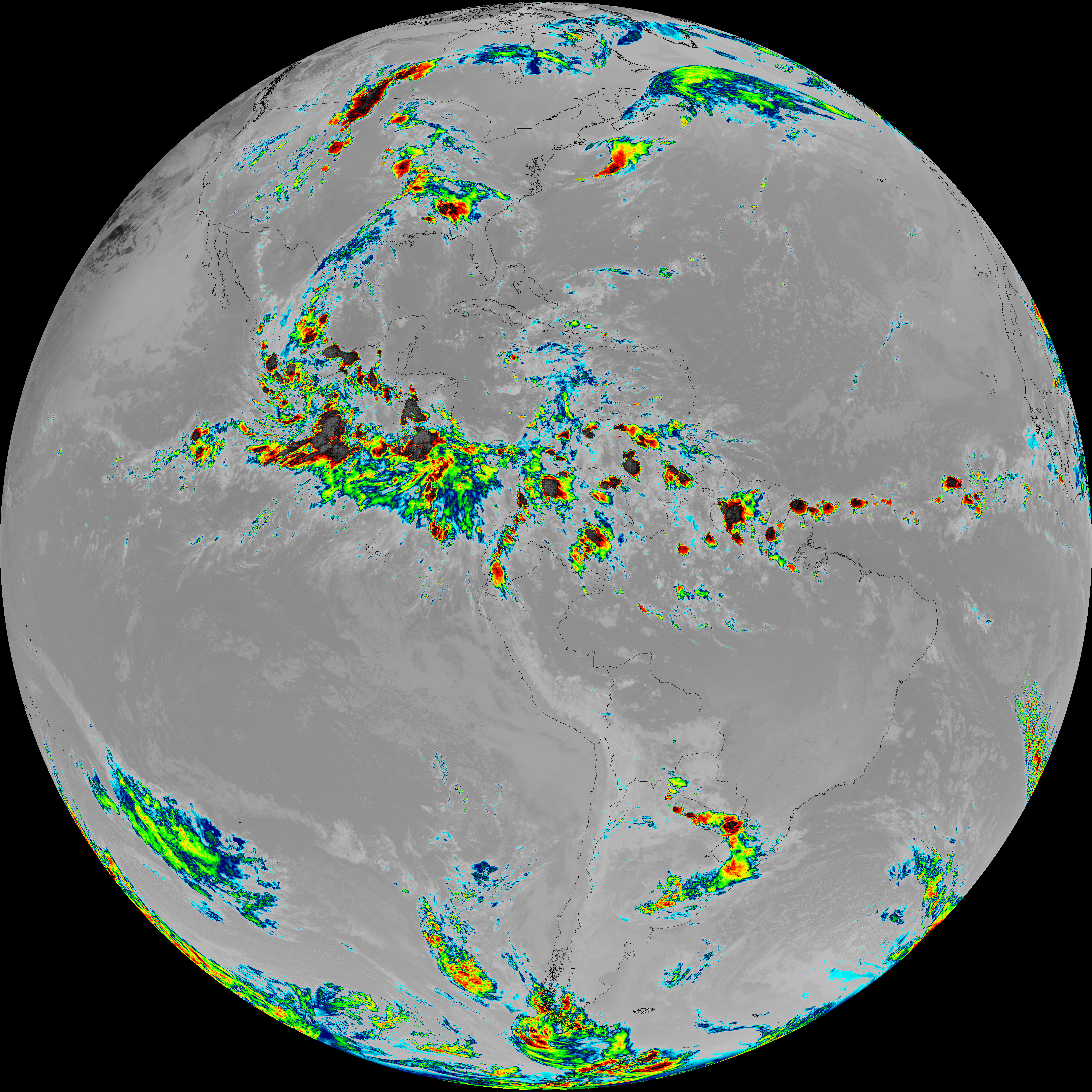
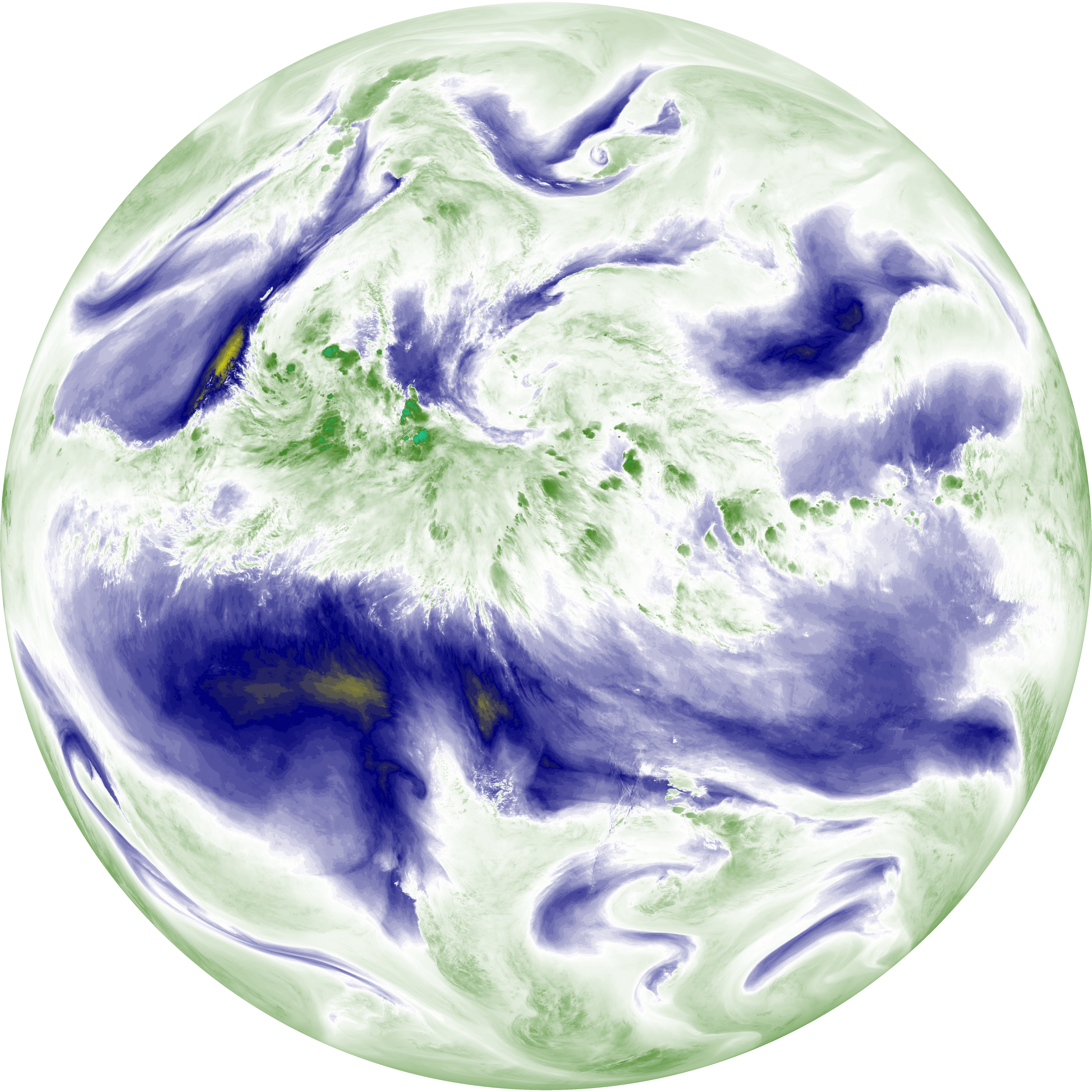
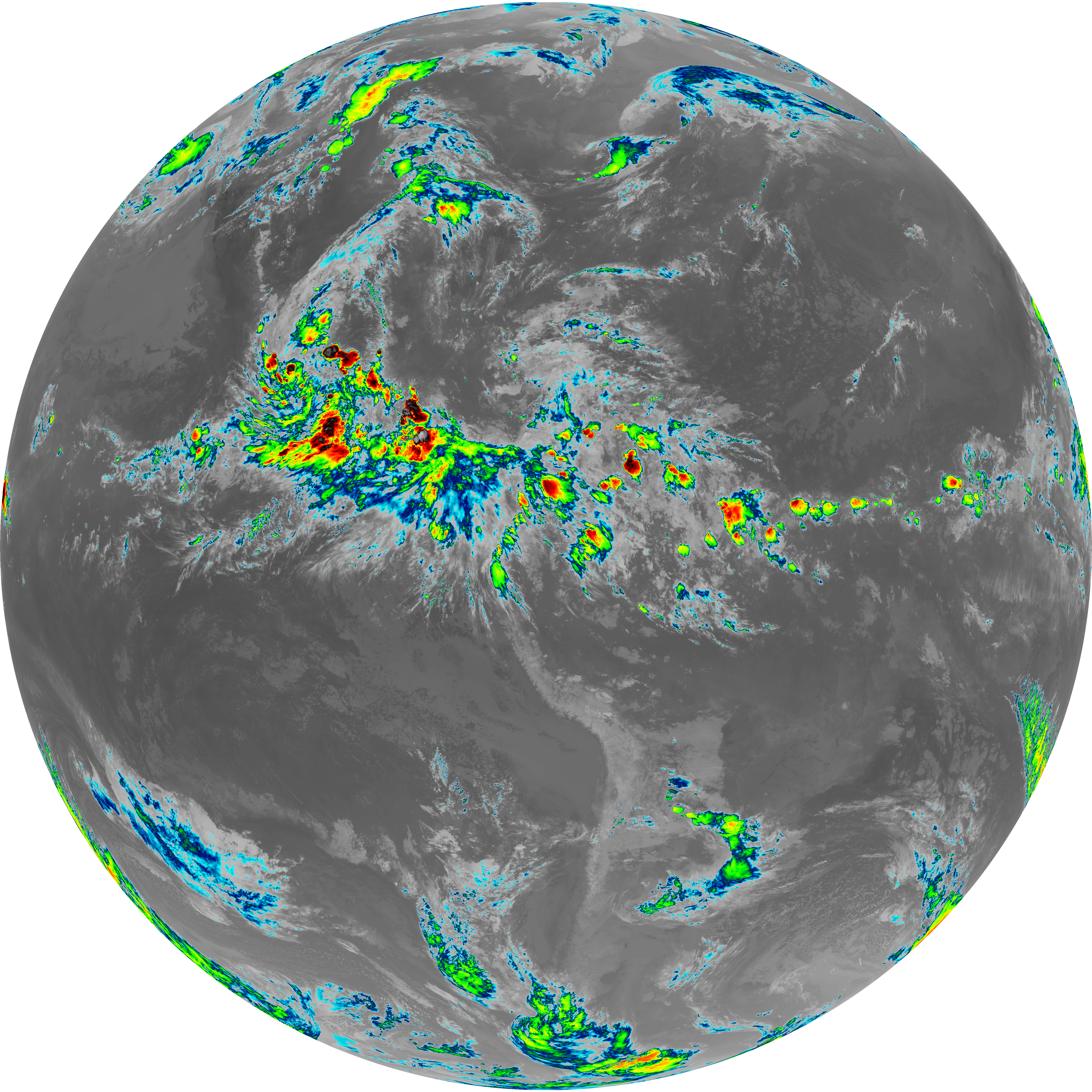
| abi_rgb_Upper-Level_Tropospheric_Water_Vapor.png | 7429257 | 2026-Jun-08 03:18 |
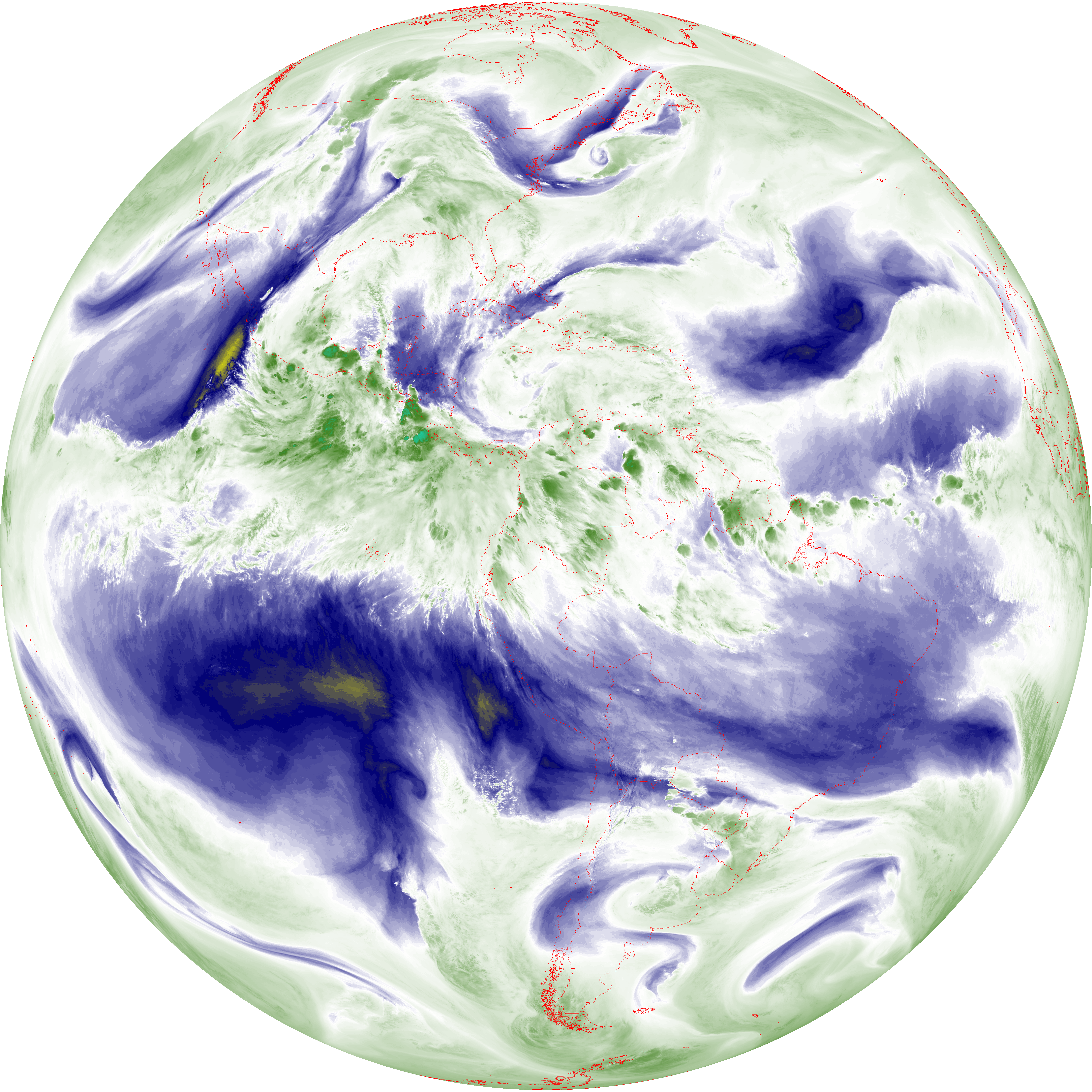
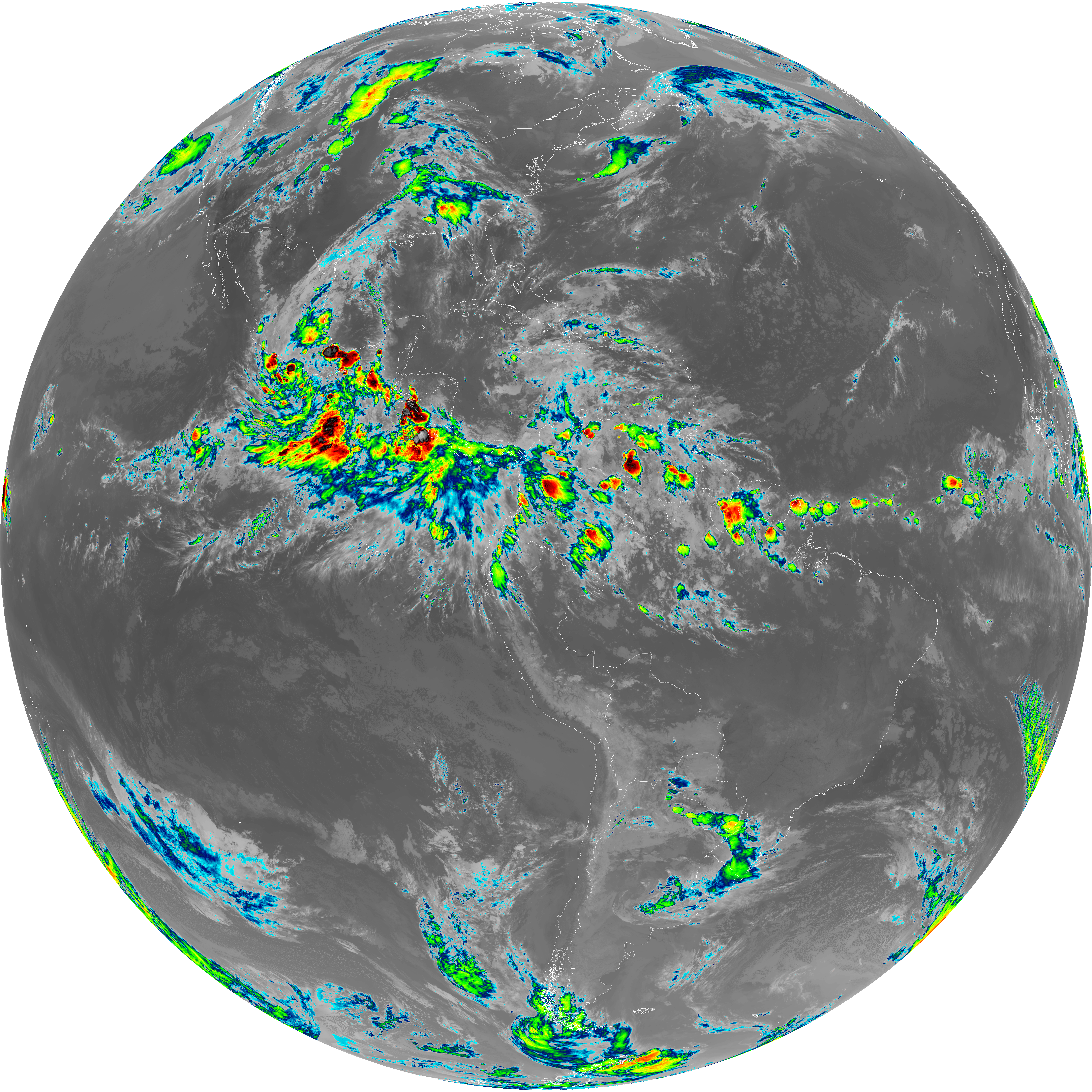
| abi_rgb_Upper-Level_Tropospheric_Water_Vapor_map.png | 7538534 | 2026-Jun-08 03:18 |
| G19_9_20260608T030021Z.png | 6427204 | 2026-Jun-08 03:20 |
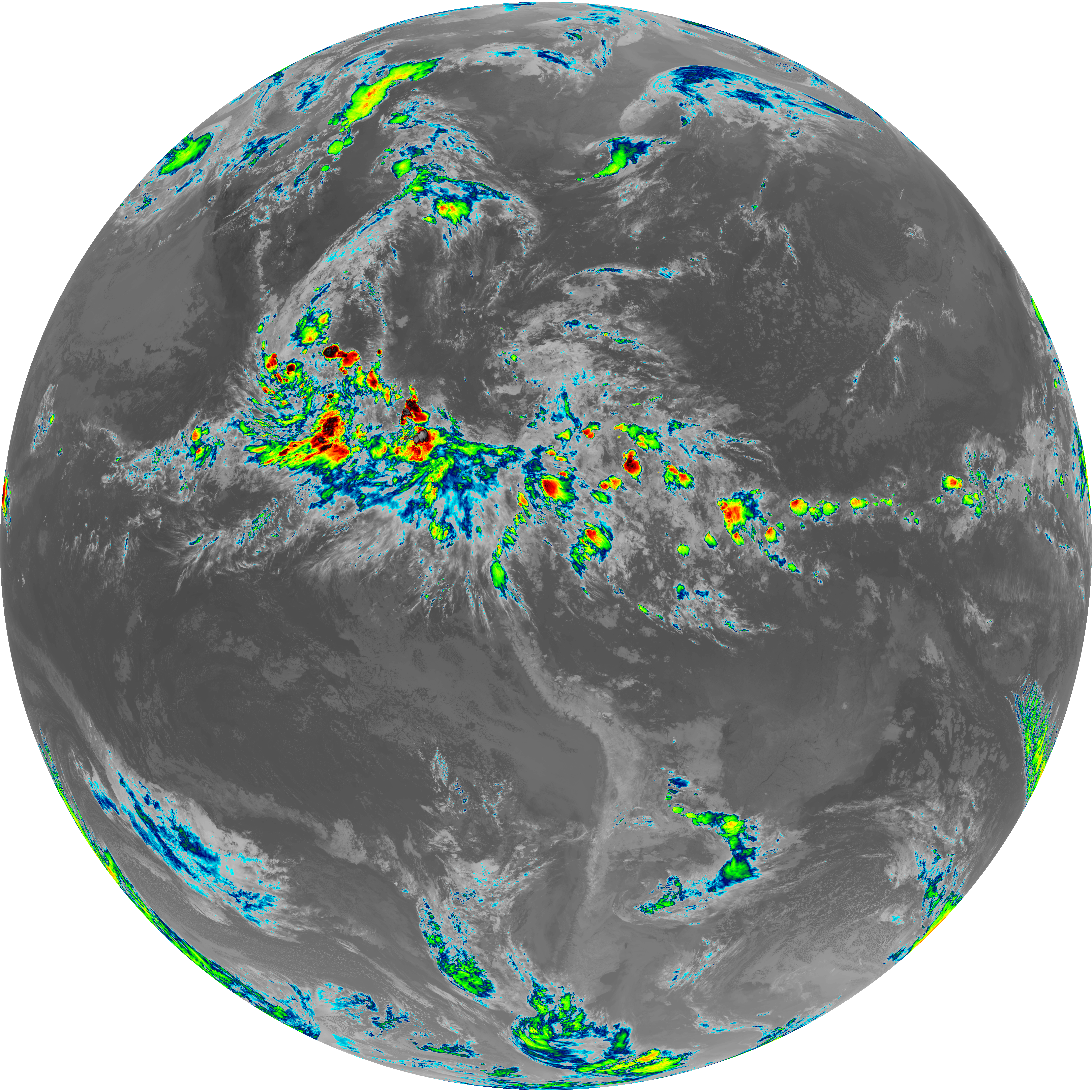
| abi_rgb_Mid-level_Tropospheric_Water_Vapor.png | 8653950 | 2026-Jun-08 03:20 |
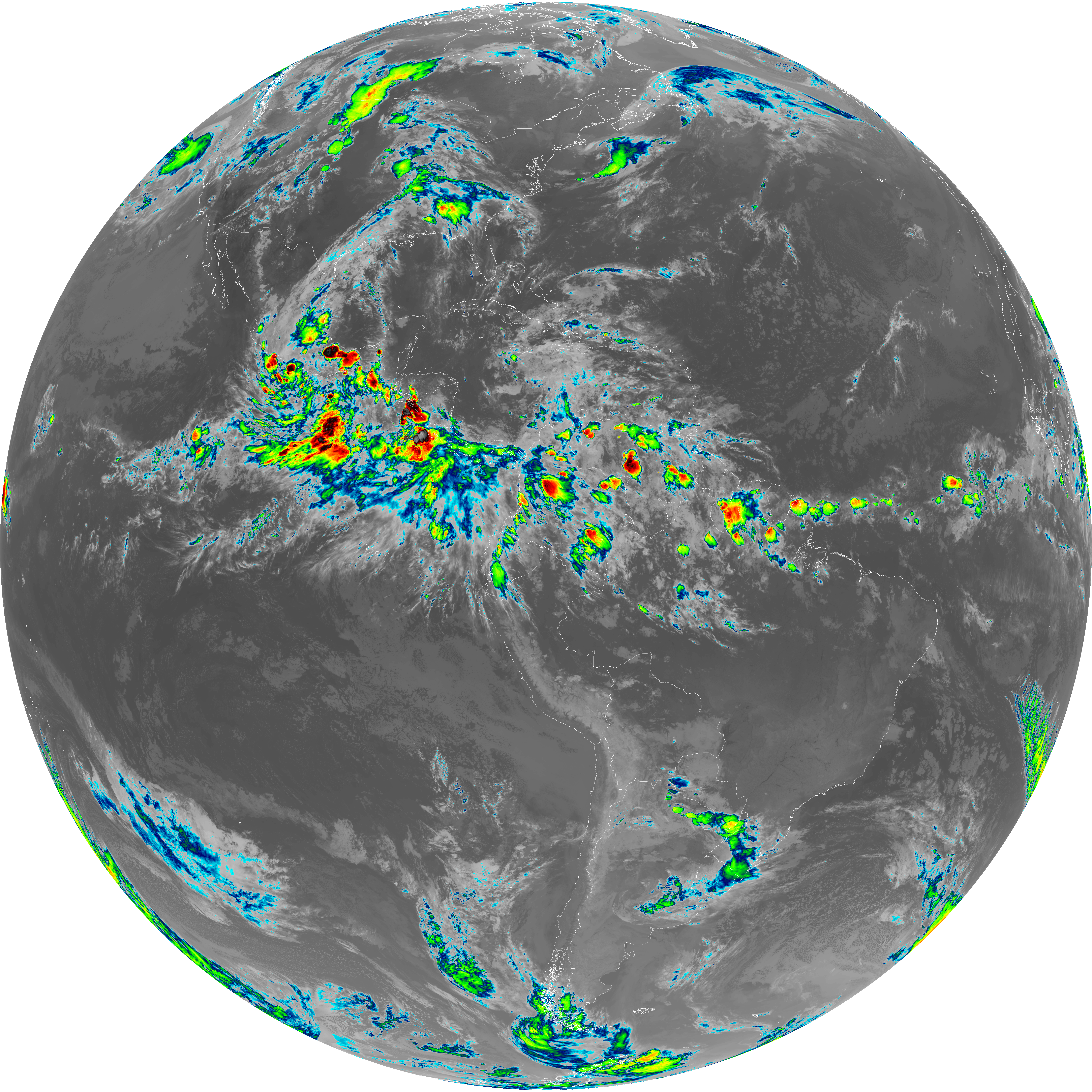
| abi_rgb_Mid-level_Tropospheric_Water_Vapor_map.png | 8754094 | 2026-Jun-08 03:20 |
| G19_14_20260608T030021Z.png | 10296927 | 2026-Jun-08 03:23 |
| abi_rgb_Infrared_Longwave_Window_Band.png | 13791317 | 2026-Jun-08 03:24 |
| abi_rgb_Infrared_Longwave_Window_Band_map.png | 13837590 | 2026-Jun-08 03:24 |
| G19_15_20260608T030021Z.png | 10026977 | 2026-Jun-08 03:26 |
| abi_rgb_Dirty_Longwave_Window.png | 13471634 | 2026-Jun-08 03:26 |
| abi_rgb_Dirty_Longwave_Window_map.png | 13521263 | 2026-Jun-08 03:26 |
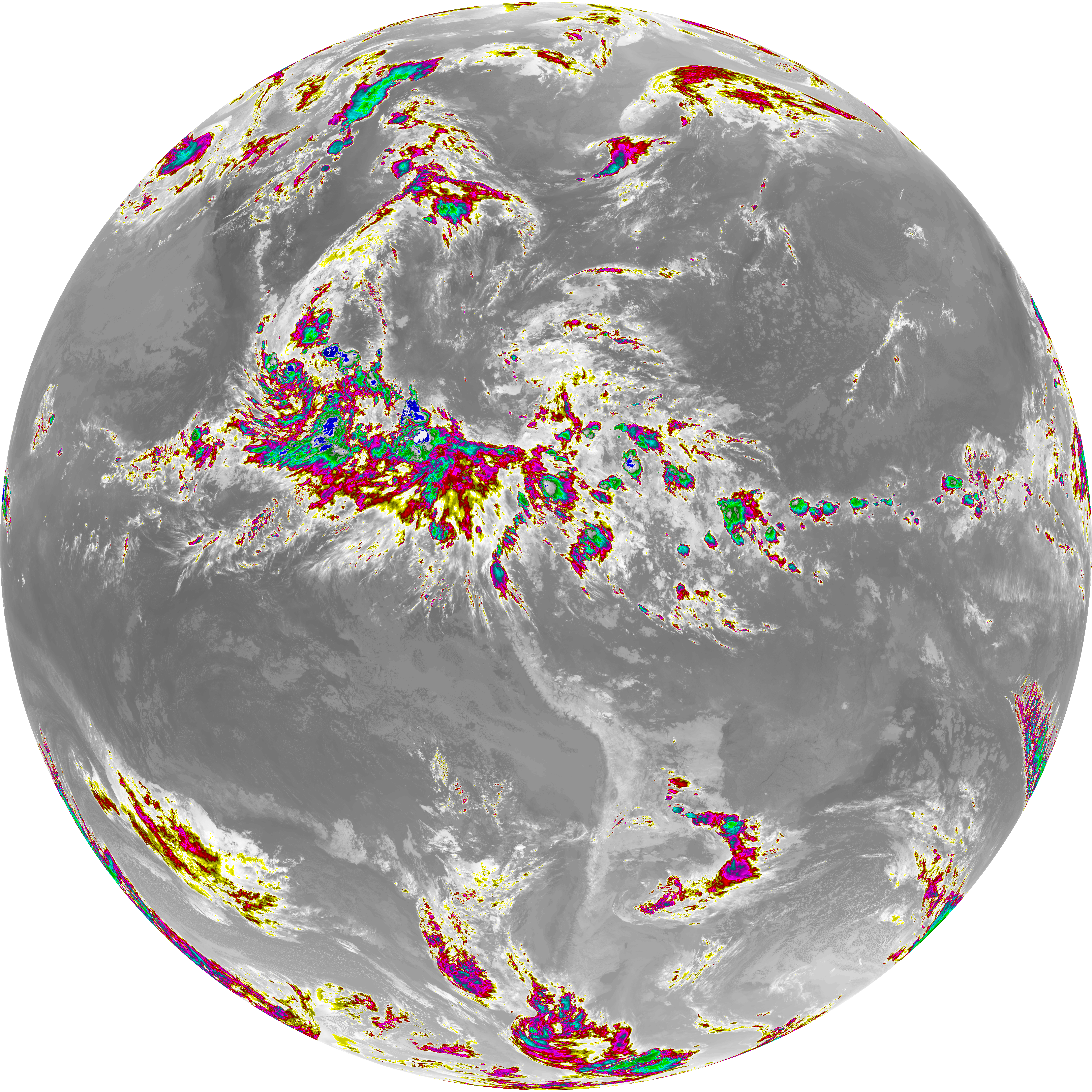
| abi_rgb_Dirty_Longwave_Window_-_CIRA.png | 11815394 | 2026-Jun-08 03:27 |
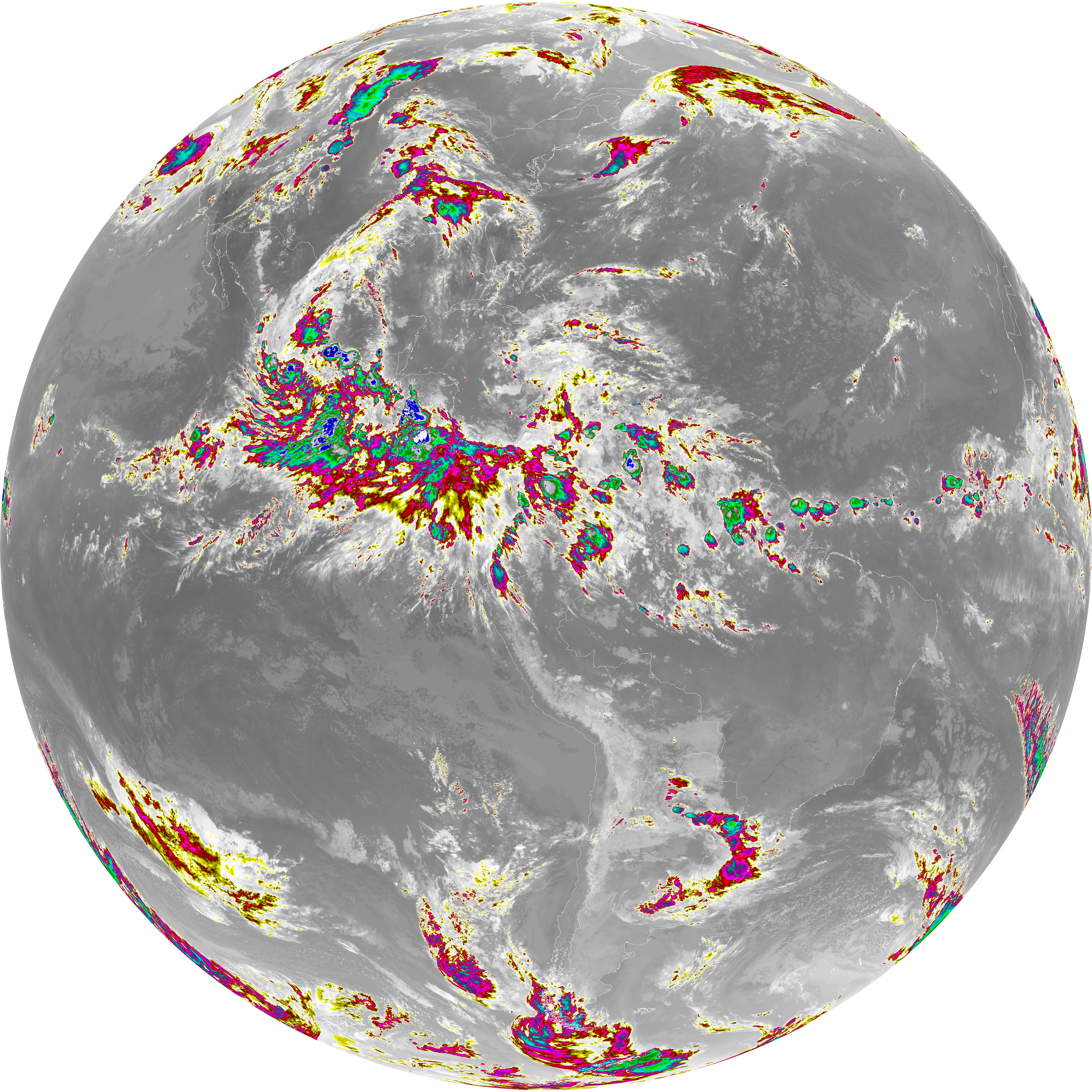
| abi_rgb_Dirty_Longwave_Window_-_CIRA_map.png | 11878200 | 2026-Jun-08 03:27 |