| Parent directory/ | - | - |
| abi_rgb_Shortwave_Window_Band_map.png | 15226435 | 2026-Jun-08 03:43 |
| abi_rgb_Shortwave_Window_Band.png | 15172630 | 2026-Jun-08 03:43 |
| abi_rgb_Infrared_Longwave_Window_Band_map.png | 13809765 | 2026-Jun-08 03:54 |
| abi_rgb_Infrared_Longwave_Window_Band.png | 13762871 | 2026-Jun-08 03:53 |
| abi_rgb_Clean_Longwave_IR_Window_Band_map.png | 13650794 | 2026-Jun-08 03:46 |
| abi_rgb_Clean_Longwave_IR_Window_Band.png | 13602930 | 2026-Jun-08 03:46 |
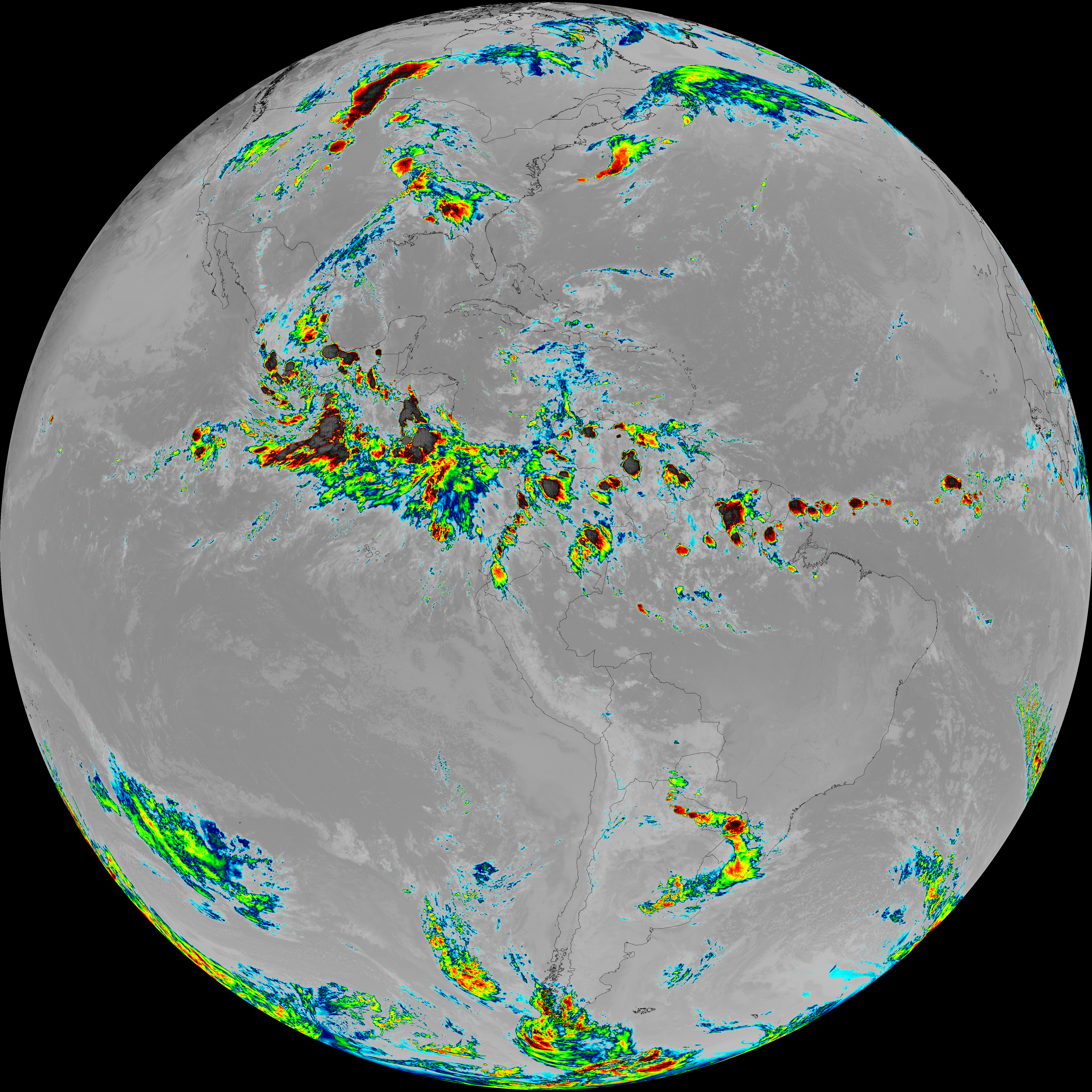
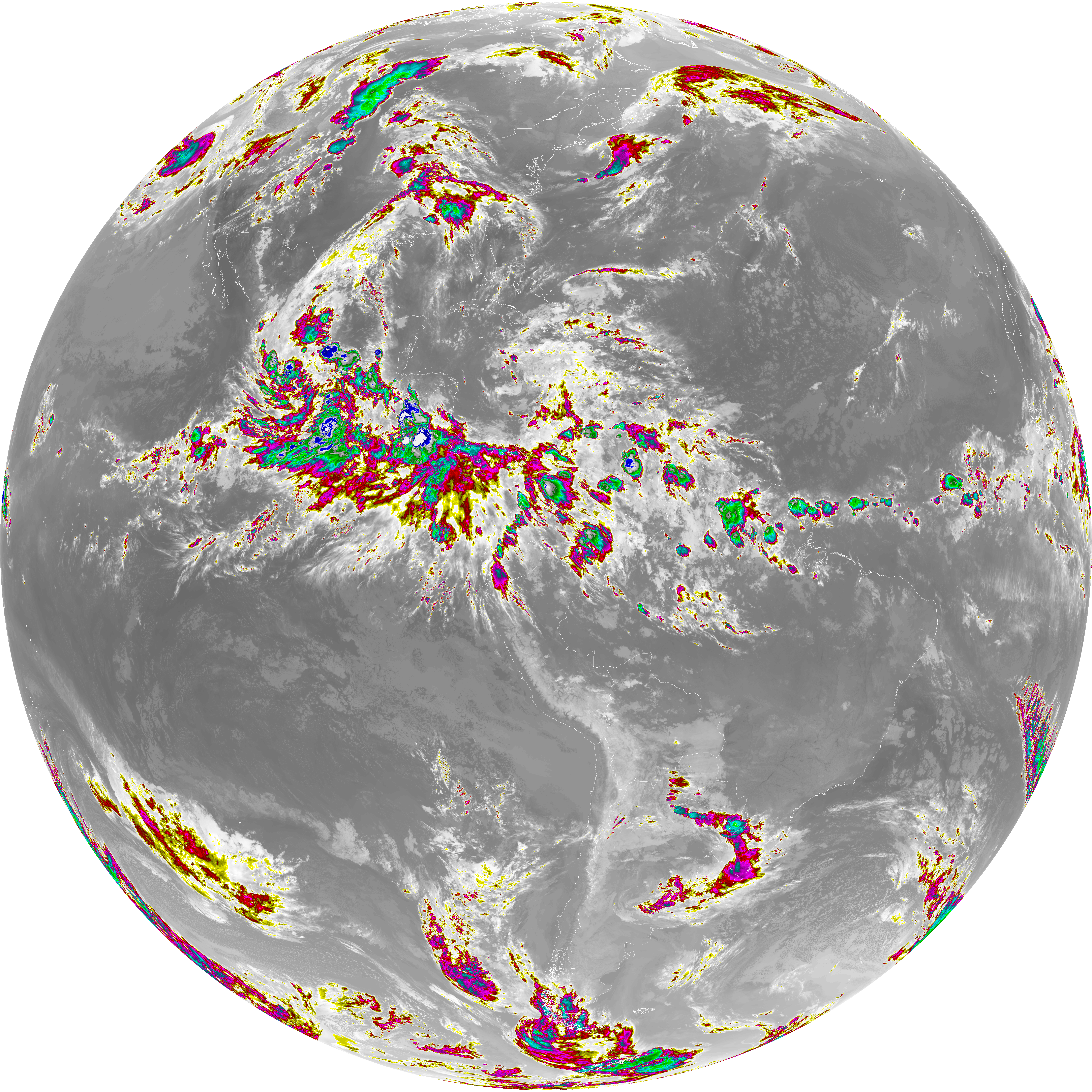
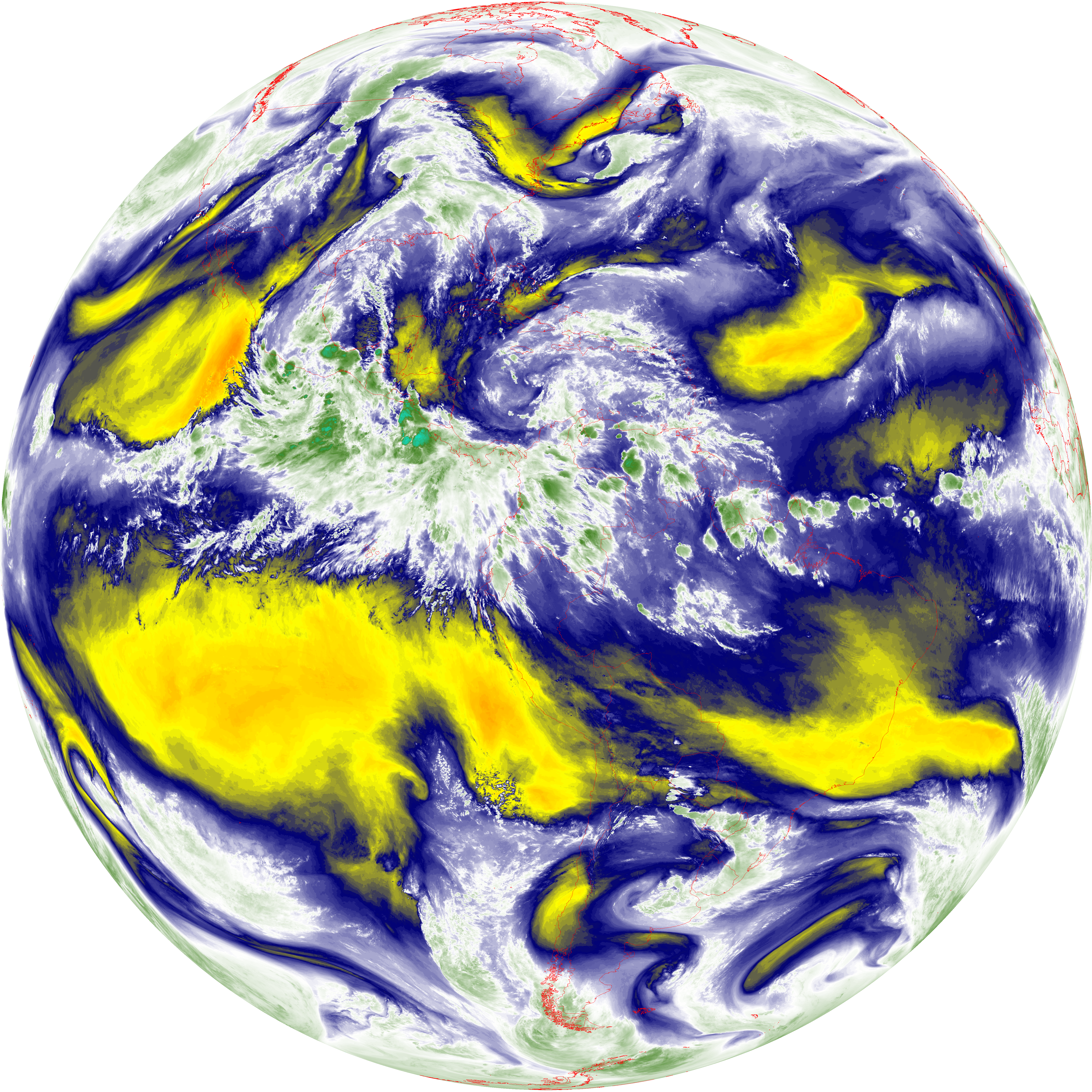
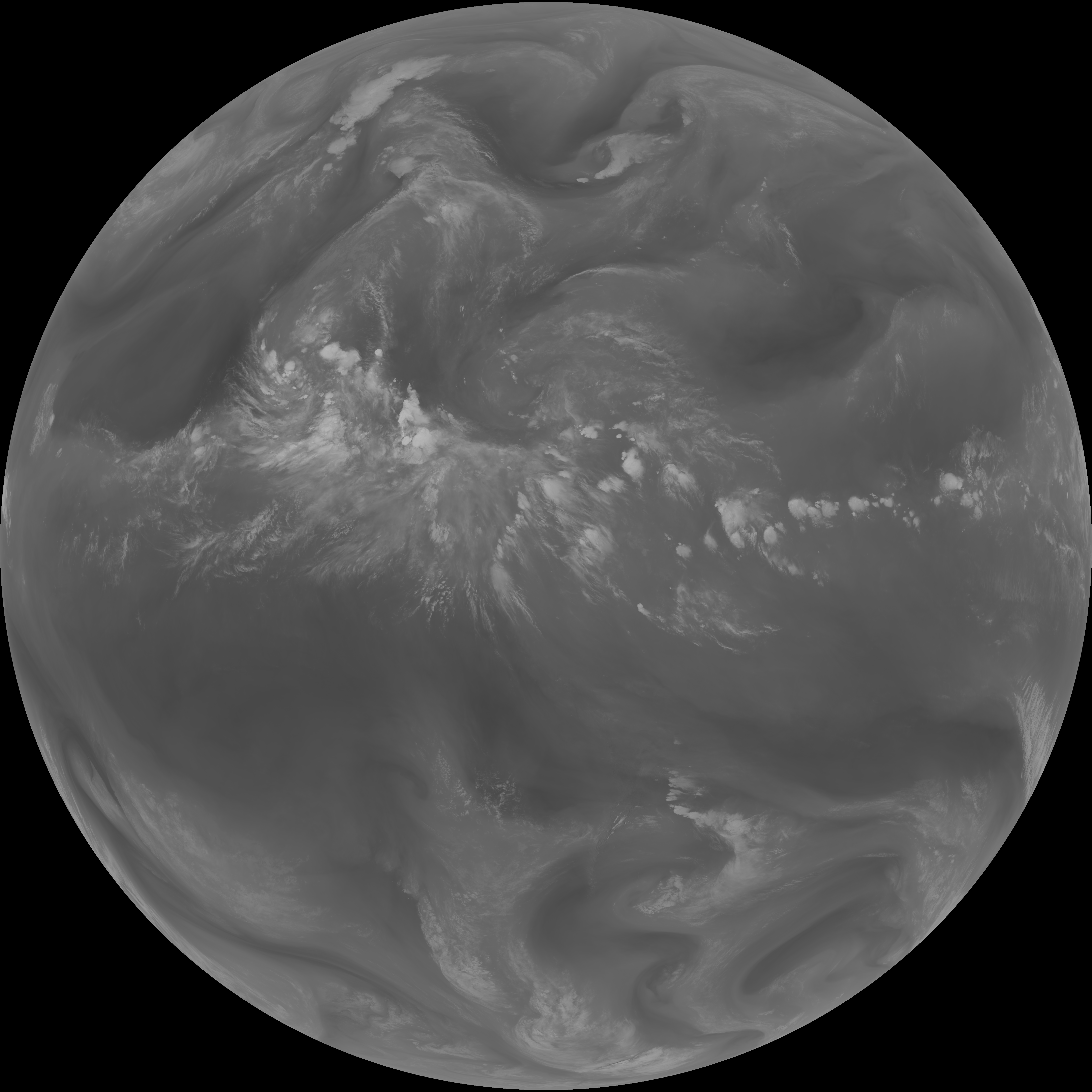
| abi_rgb_Dirty_Longwave_Window_map.png | 13496380 | 2026-Jun-08 03:56 |
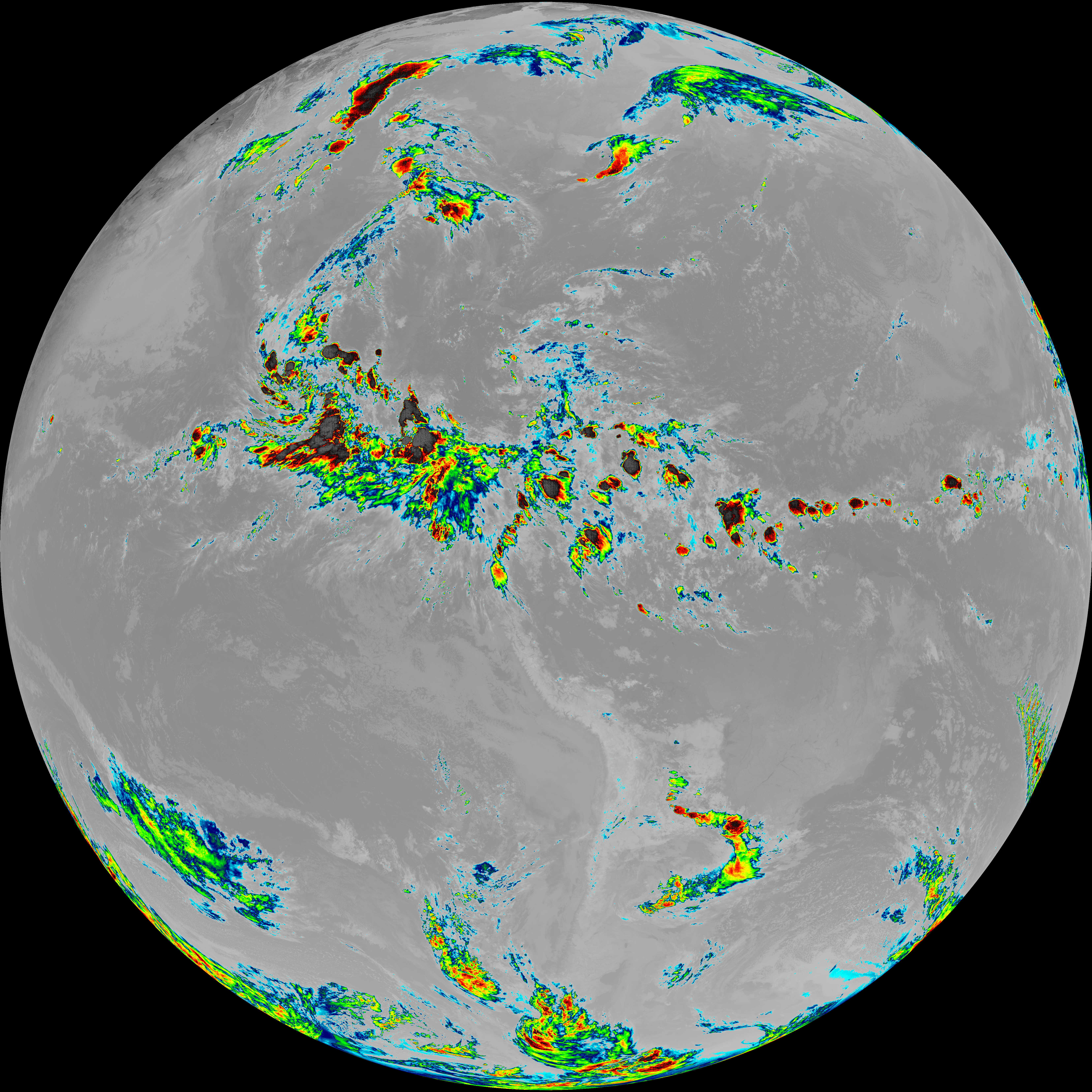
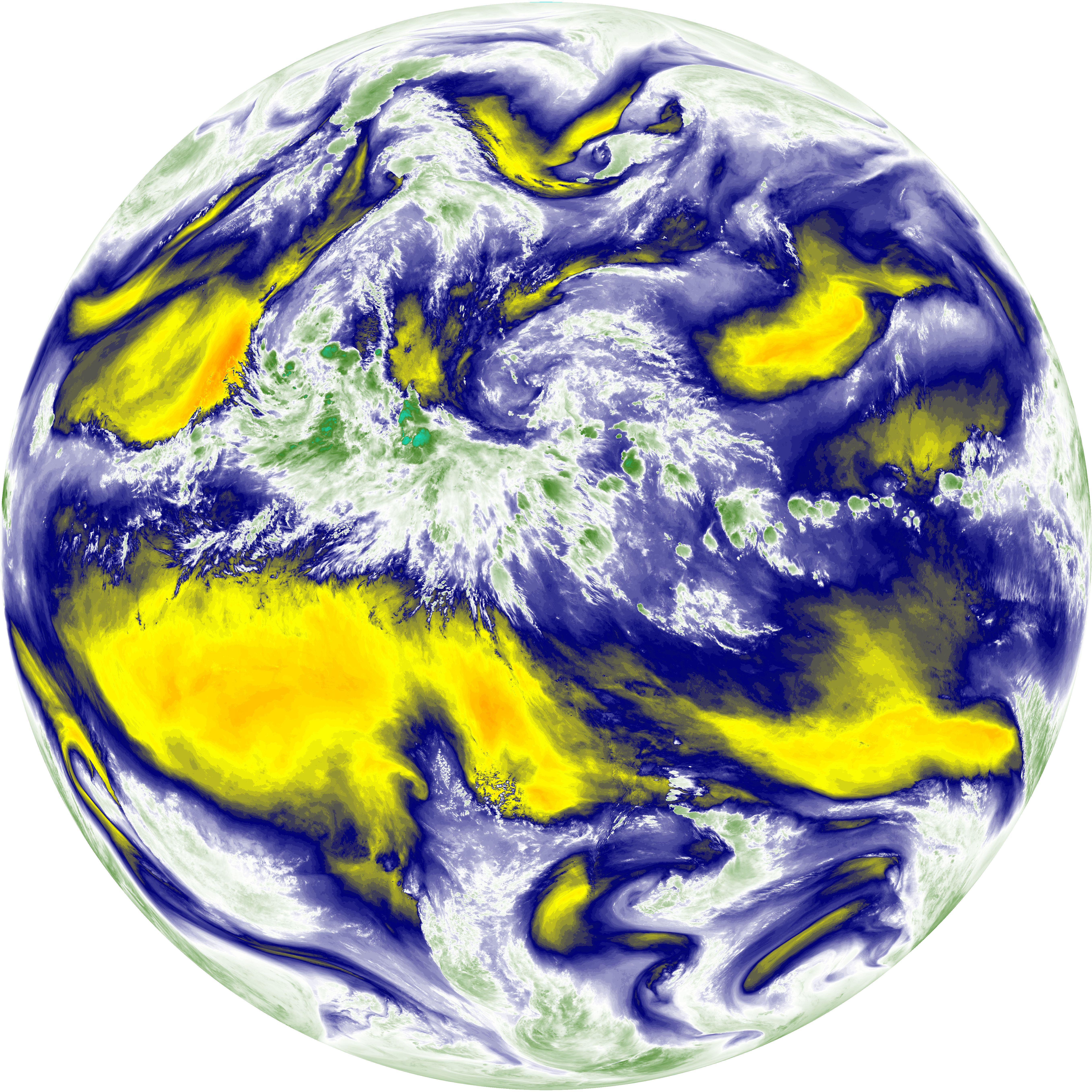
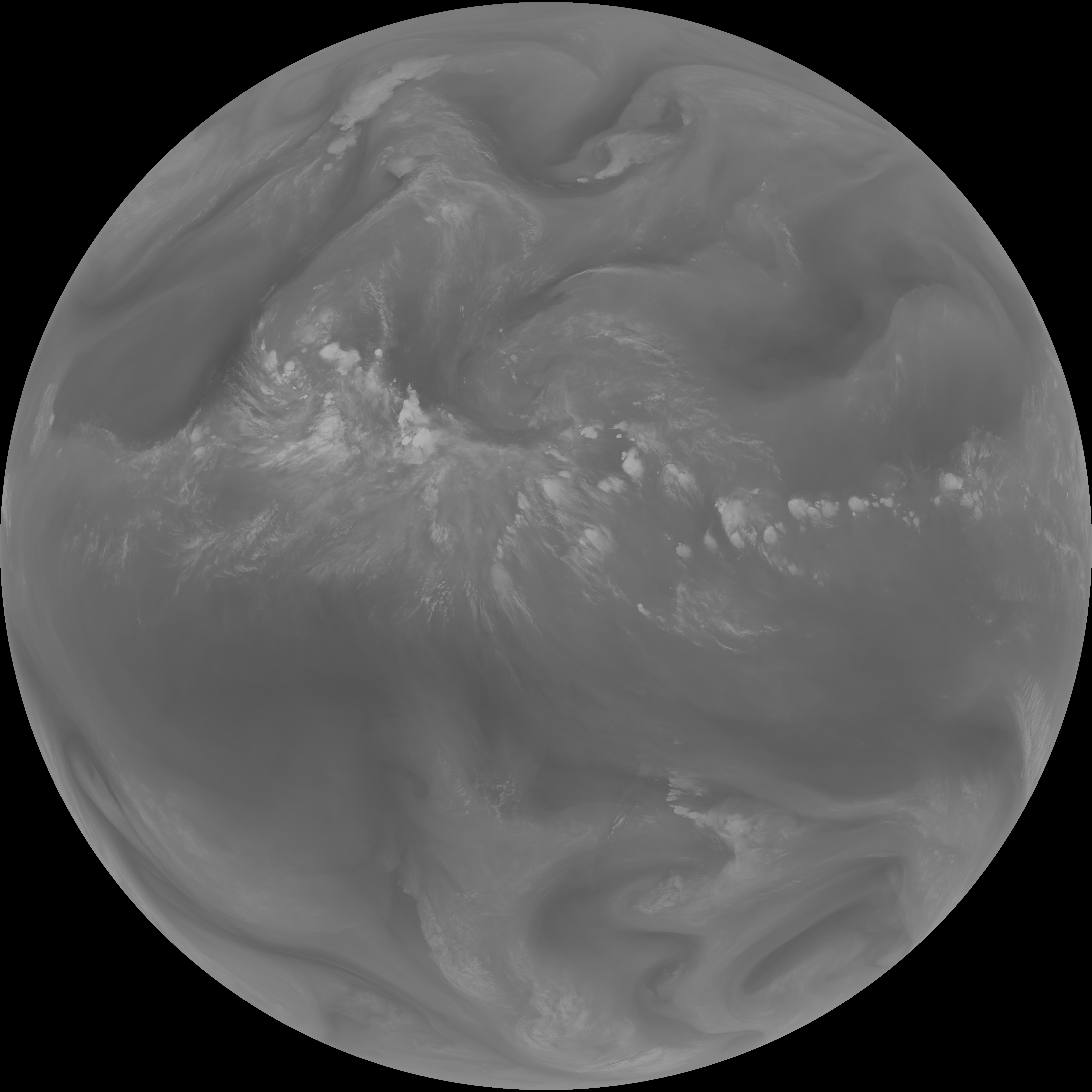
| abi_rgb_Dirty_Longwave_Window.png | 13445587 | 2026-Jun-08 03:56 |
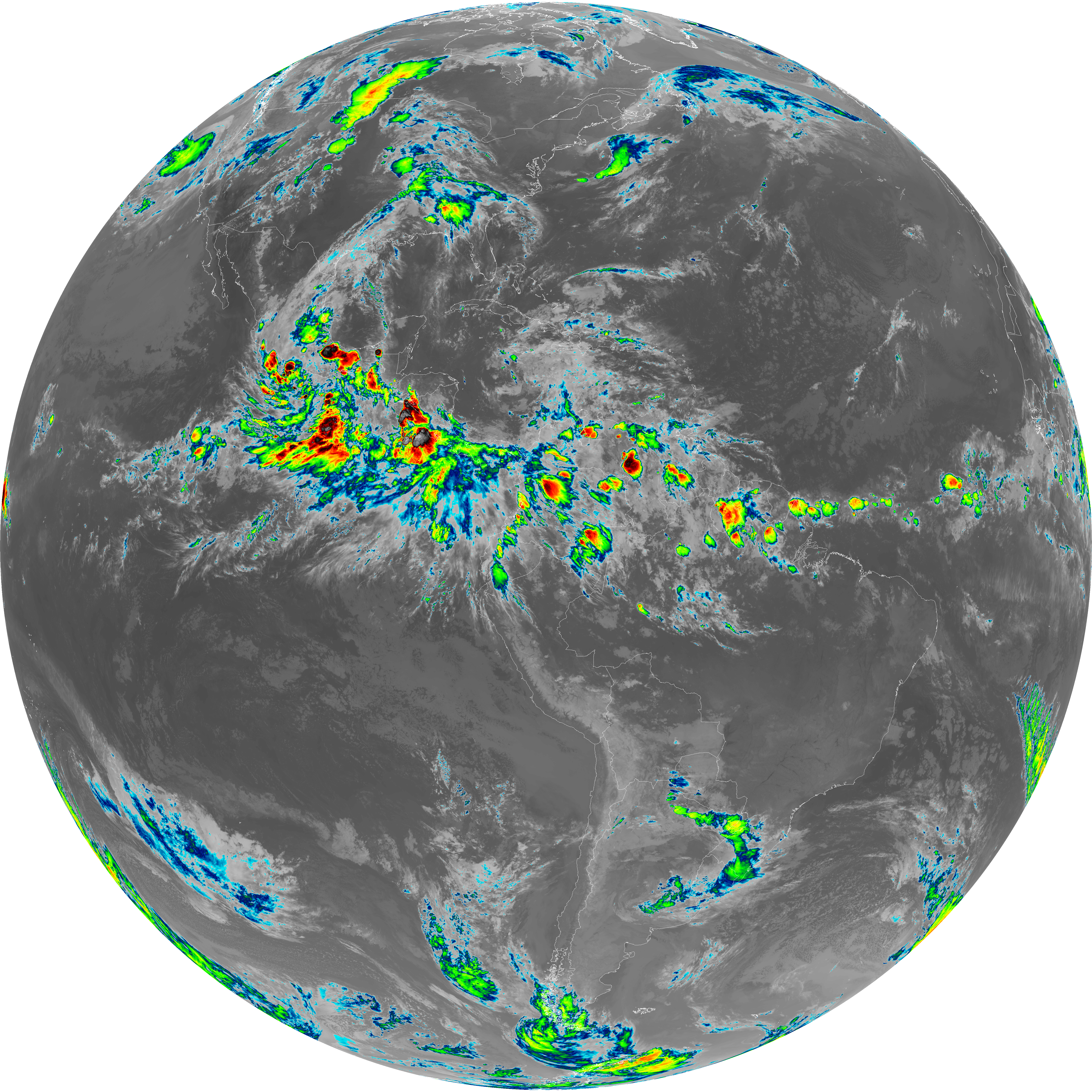
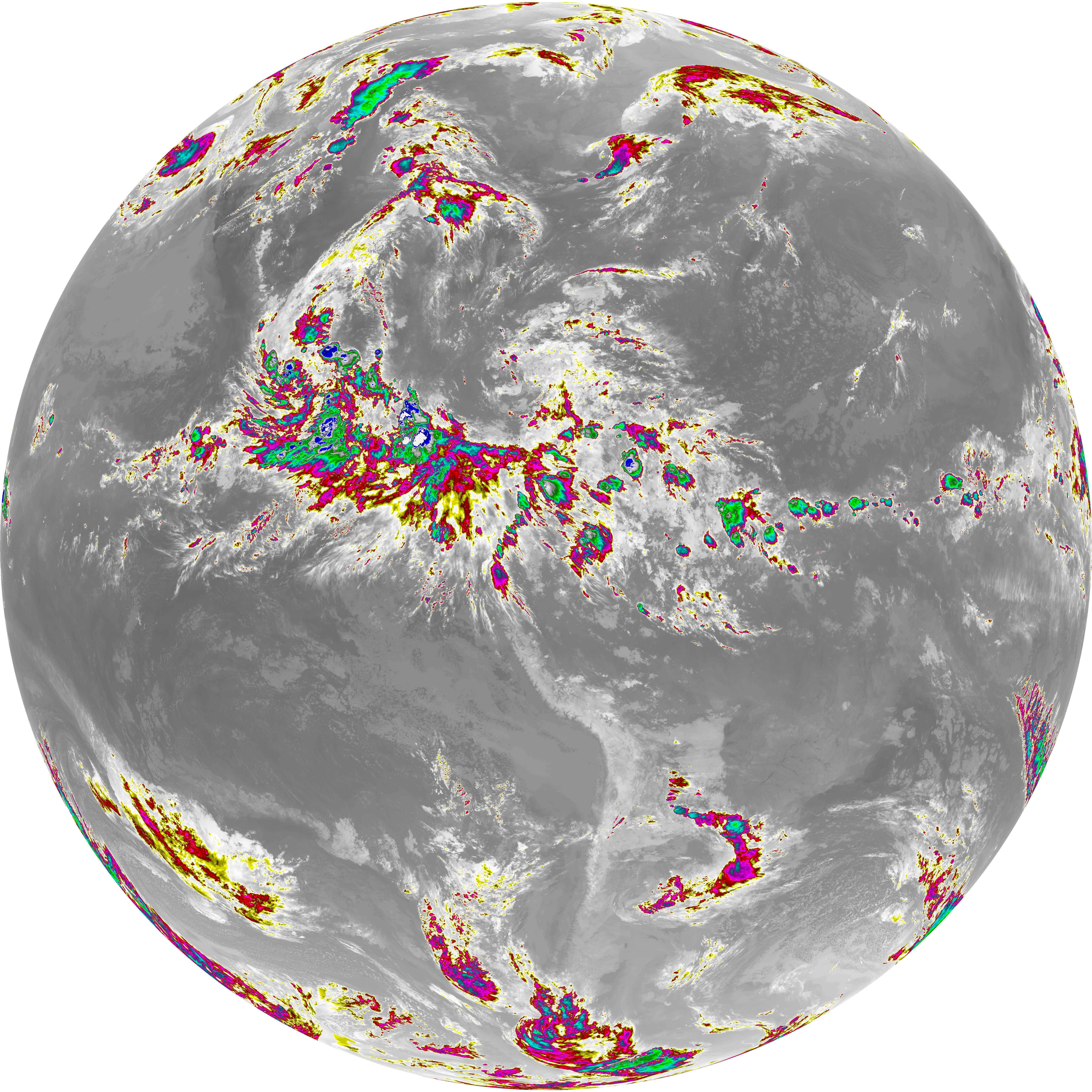
| abi_rgb_Dirty_Longwave_Window_-_CIRA_map.png | 11848430 | 2026-Jun-08 03:57 |
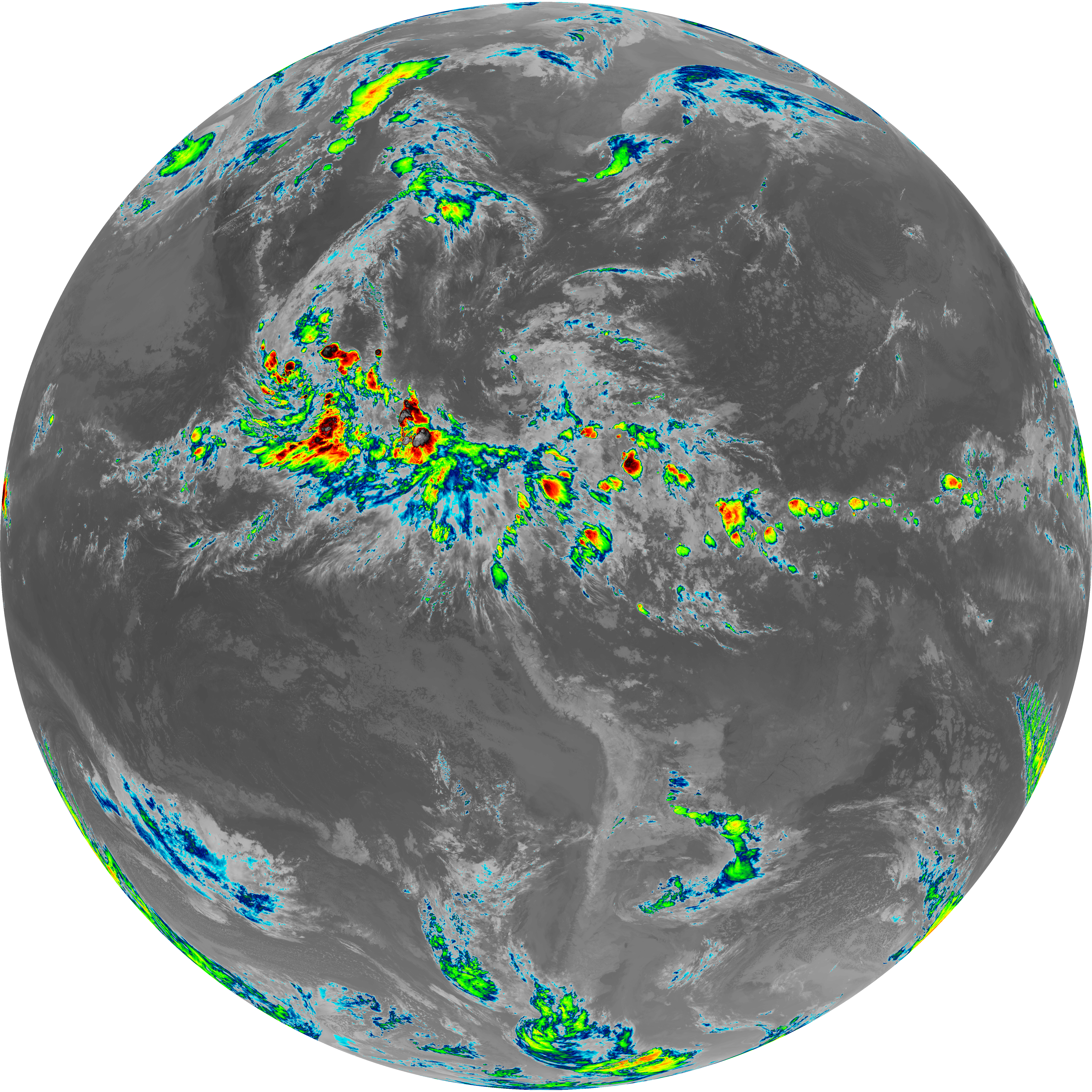
| abi_rgb_Dirty_Longwave_Window_-_CIRA.png | 11785364 | 2026-Jun-08 03:57 |
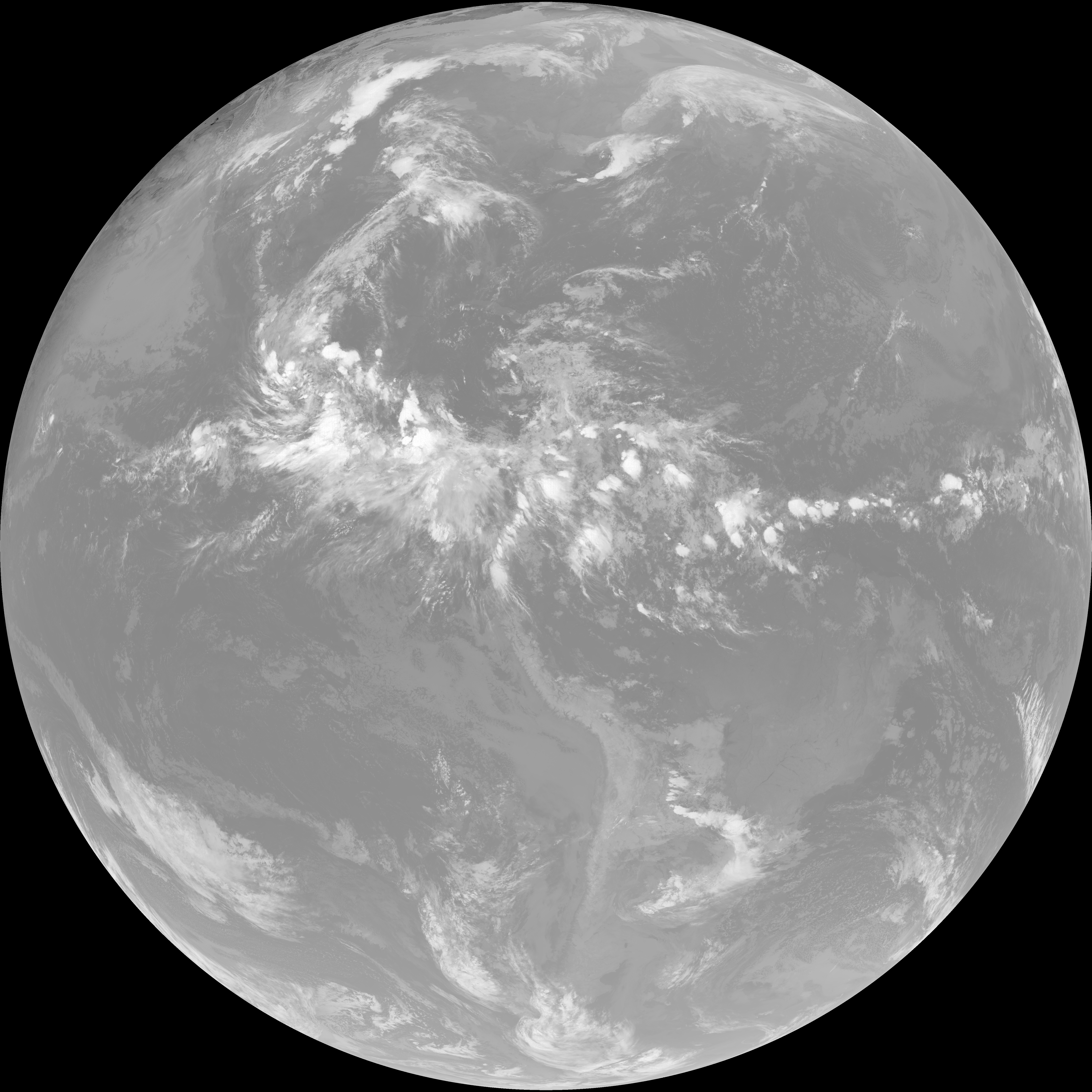
| G19_7_20260608T033021Z.png | 11049078 | 2026-Jun-08 03:43 |
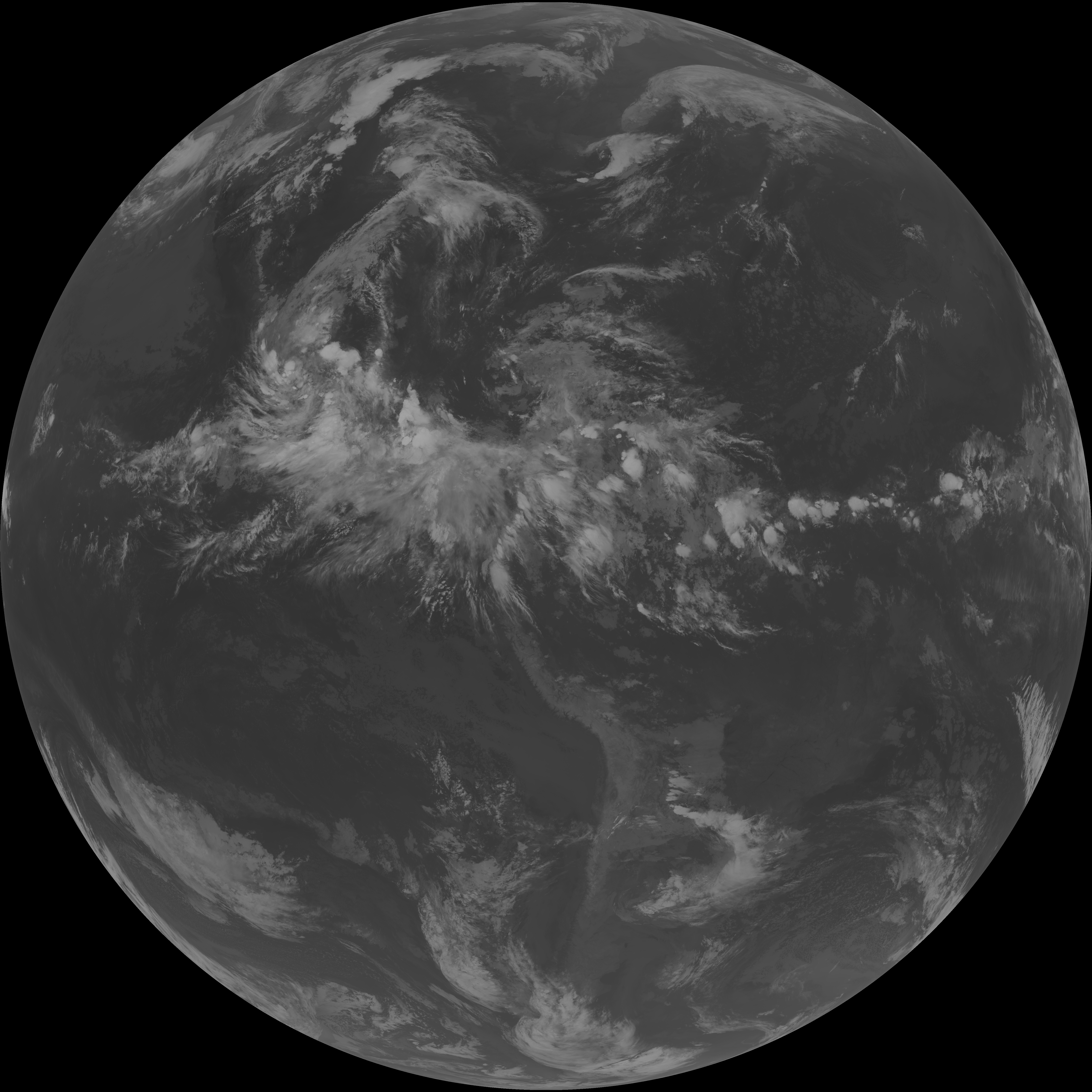
| G19_14_20260608T033021Z.png | 10278503 | 2026-Jun-08 03:53 |
| G19_13_20260608T033021Z.png | 10134984 | 2026-Jun-08 03:46 |
| G19_15_20260608T033021Z.png | 10010856 | 2026-Jun-08 03:56 |
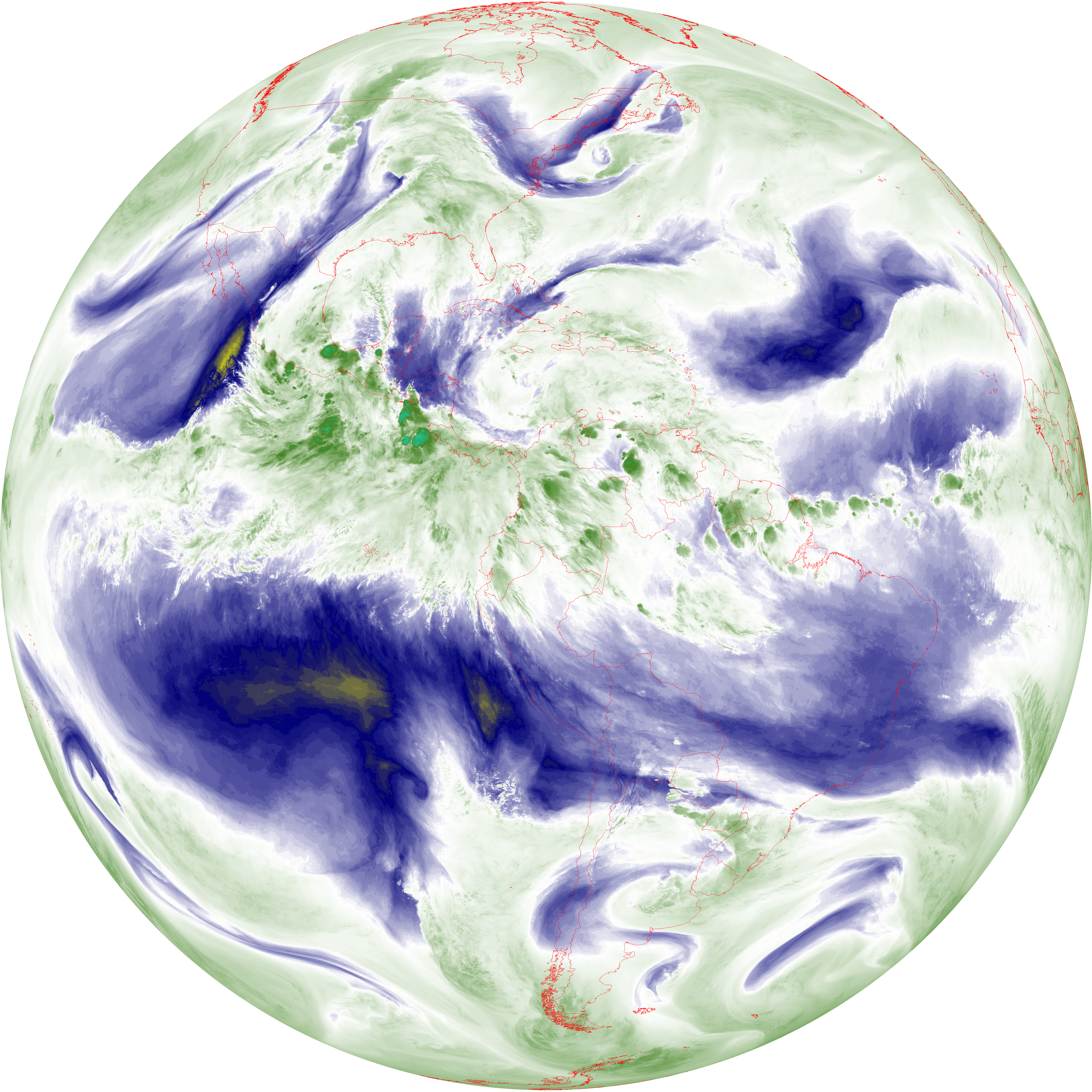
| abi_rgb_Mid-level_Tropospheric_Water_Vapor_map.png | 8704282 | 2026-Jun-08 03:50 |
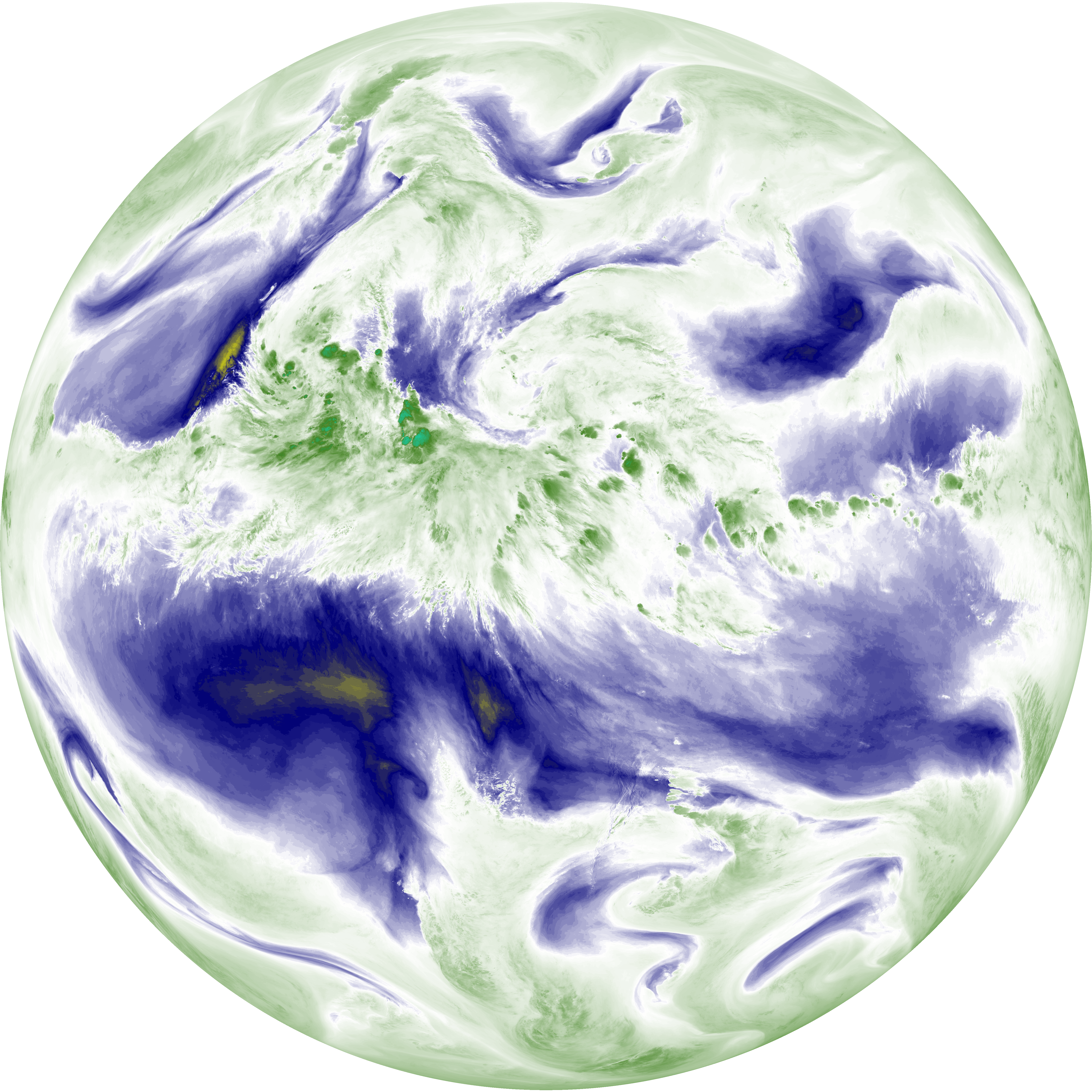
| abi_rgb_Mid-level_Tropospheric_Water_Vapor.png | 8603968 | 2026-Jun-08 03:50 |
| abi_rgb_Upper-Level_Tropospheric_Water_Vapor_map.png | 7497891 | 2026-Jun-08 03:48 |
| abi_rgb_Upper-Level_Tropospheric_Water_Vapor.png | 7388912 | 2026-Jun-08 03:48 |
| G19_9_20260608T033021Z.png | 6387404 | 2026-Jun-08 03:50 |
| G19_8_20260608T033021Z.png | 5515334 | 2026-Jun-08 03:48 |
| G19_2_20260608T033021Z.png | 845176 | 2026-Jun-08 03:46 |