| Parent directory/ | - | - |
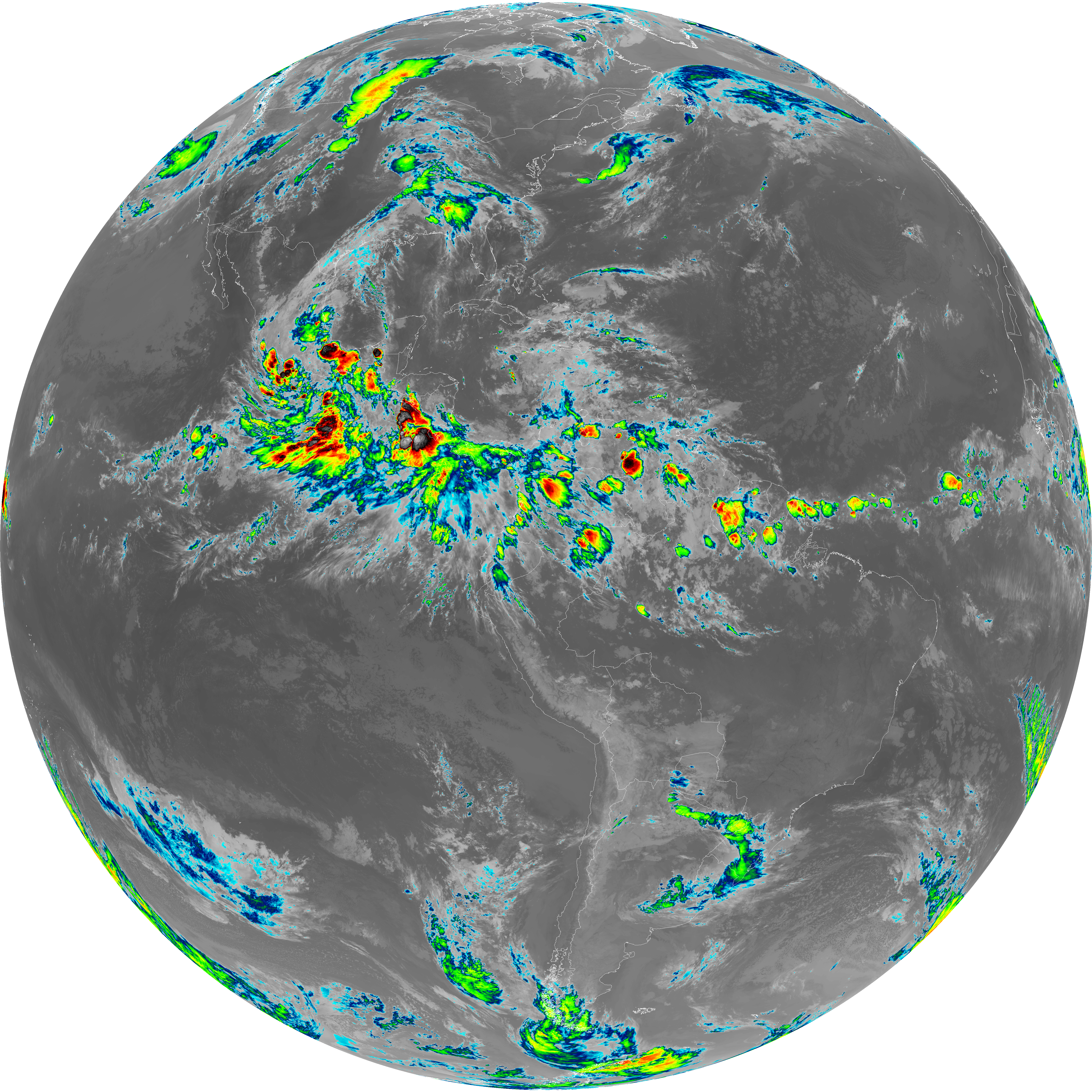
| abi_rgb_Shortwave_Window_Band_map.png | 15191463 | 2026-Jun-08 04:13 |
| abi_rgb_Shortwave_Window_Band.png | 15137815 | 2026-Jun-08 04:13 |
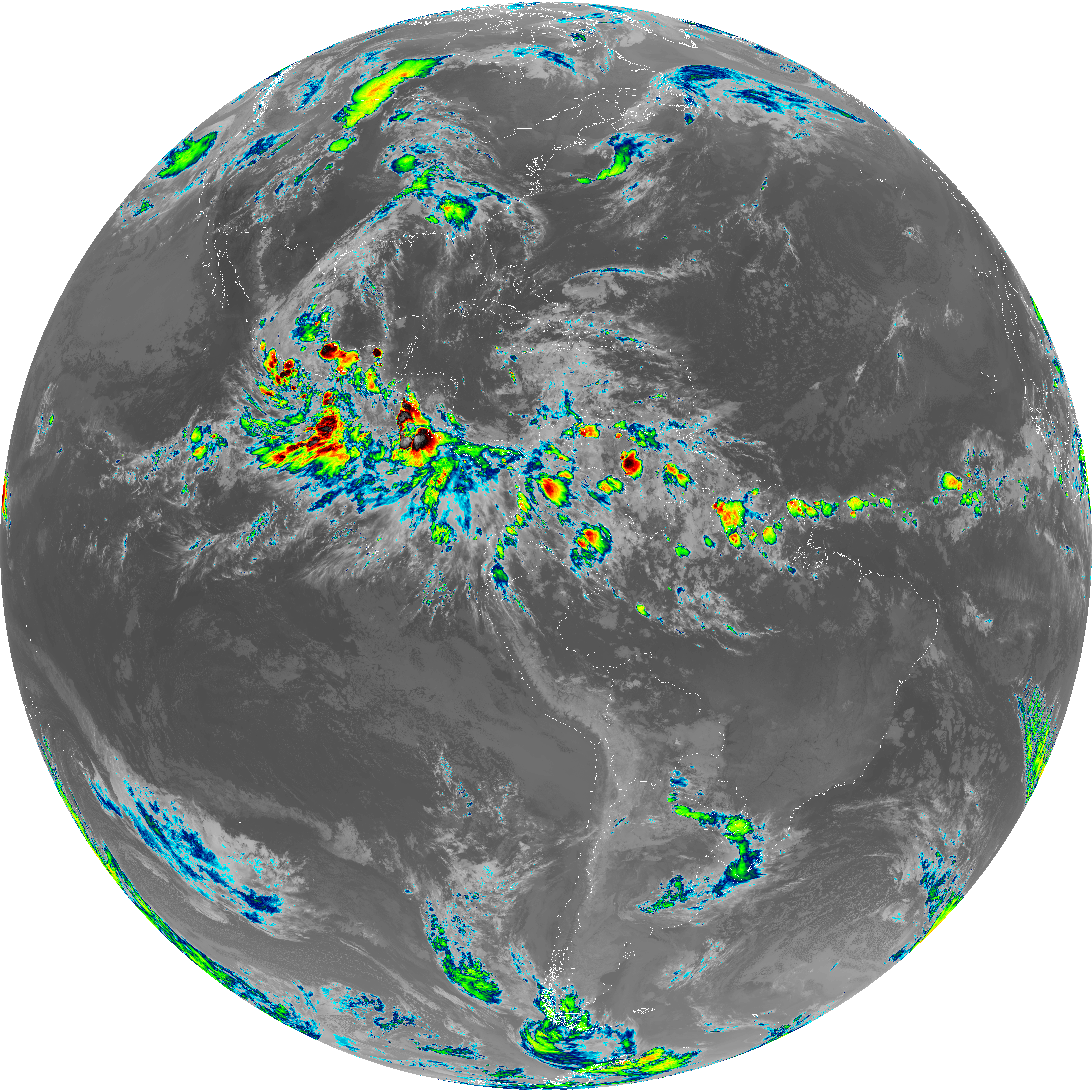
| abi_rgb_Infrared_Longwave_Window_Band_map.png | 13812391 | 2026-Jun-08 04:23 |
| abi_rgb_Infrared_Longwave_Window_Band.png | 13765815 | 2026-Jun-08 04:23 |
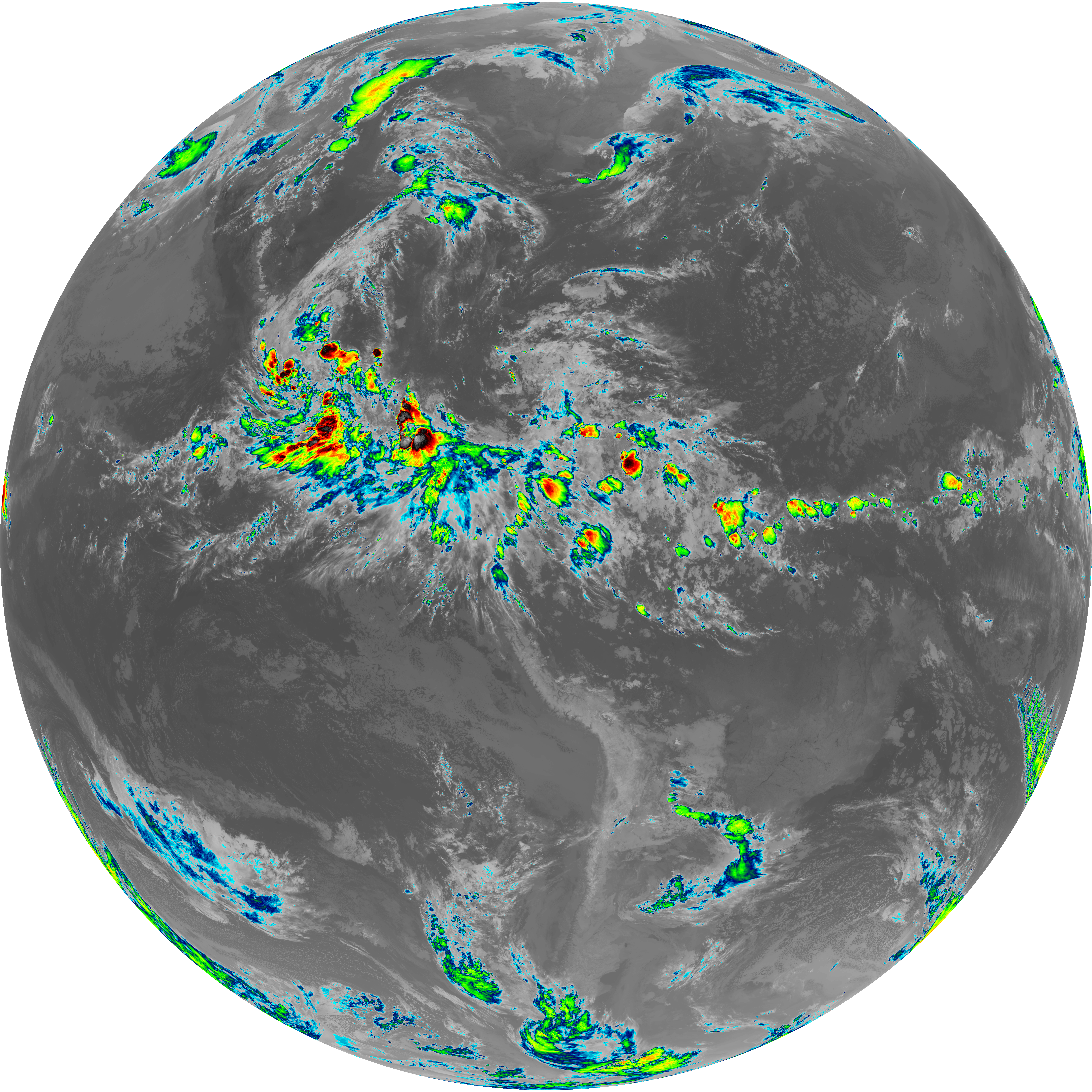
| abi_rgb_Clean_Longwave_IR_Window_Band_map.png | 13650802 | 2026-Jun-08 04:16 |
| abi_rgb_Clean_Longwave_IR_Window_Band.png | 13603051 | 2026-Jun-08 04:16 |
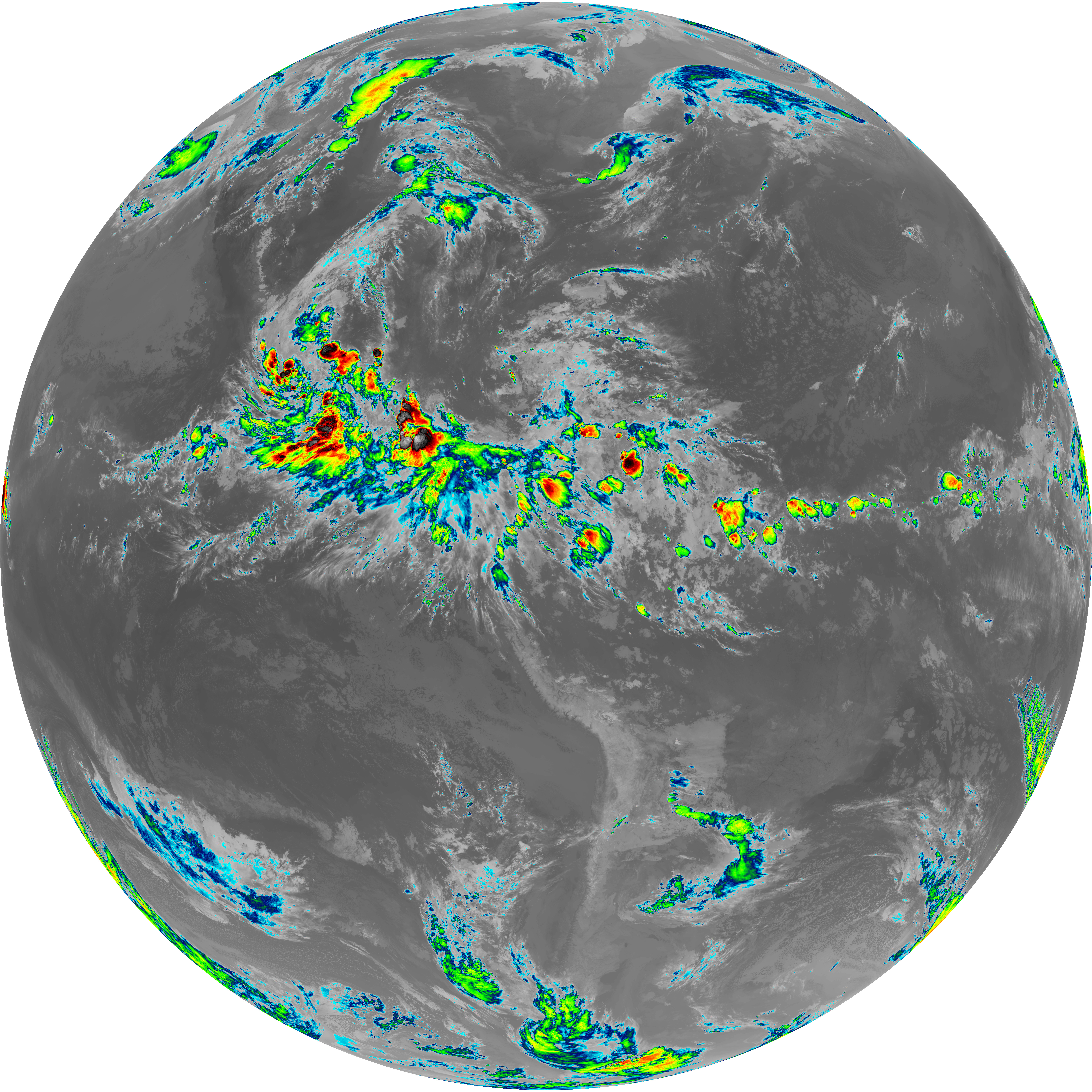
| abi_rgb_Dirty_Longwave_Window_map.png | 13496255 | 2026-Jun-08 04:26 |
| abi_rgb_Dirty_Longwave_Window.png | 13445060 | 2026-Jun-08 04:26 |
| abi_rgb_Dirty_Longwave_Window_-_CIRA_map.png | 11840804 | 2026-Jun-08 04:27 |
| abi_rgb_Dirty_Longwave_Window_-_CIRA.png | 11777645 | 2026-Jun-08 04:27 |
| G19_7_20260608T040021Z.png | 11001906 | 2026-Jun-08 04:13 |
| G19_14_20260608T040021Z.png | 10279065 | 2026-Jun-08 04:23 |
| G19_13_20260608T040021Z.png | 10134118 | 2026-Jun-08 04:16 |
| G19_15_20260608T040021Z.png | 10010765 | 2026-Jun-08 04:26 |
| abi_rgb_Mid-level_Tropospheric_Water_Vapor_map.png | 8675151 | 2026-Jun-08 04:20 |
| abi_rgb_Mid-level_Tropospheric_Water_Vapor.png | 8574292 | 2026-Jun-08 04:20 |
| abi_rgb_Upper-Level_Tropospheric_Water_Vapor_map.png | 7462180 | 2026-Jun-08 04:18 |
| abi_rgb_Upper-Level_Tropospheric_Water_Vapor.png | 7352293 | 2026-Jun-08 04:18 |
| G19_9_20260608T040021Z.png | 6362120 | 2026-Jun-08 04:20 |
| G19_8_20260608T040021Z.png | 5486720 | 2026-Jun-08 04:18 |
| G19_2_20260608T040021Z.png | 563653 | 2026-Jun-08 04:16 |