| Parent directory/ | - | - |
| G19_7_20260608T043021Z.png | 10988077 | 2026-Jun-08 04:43 |
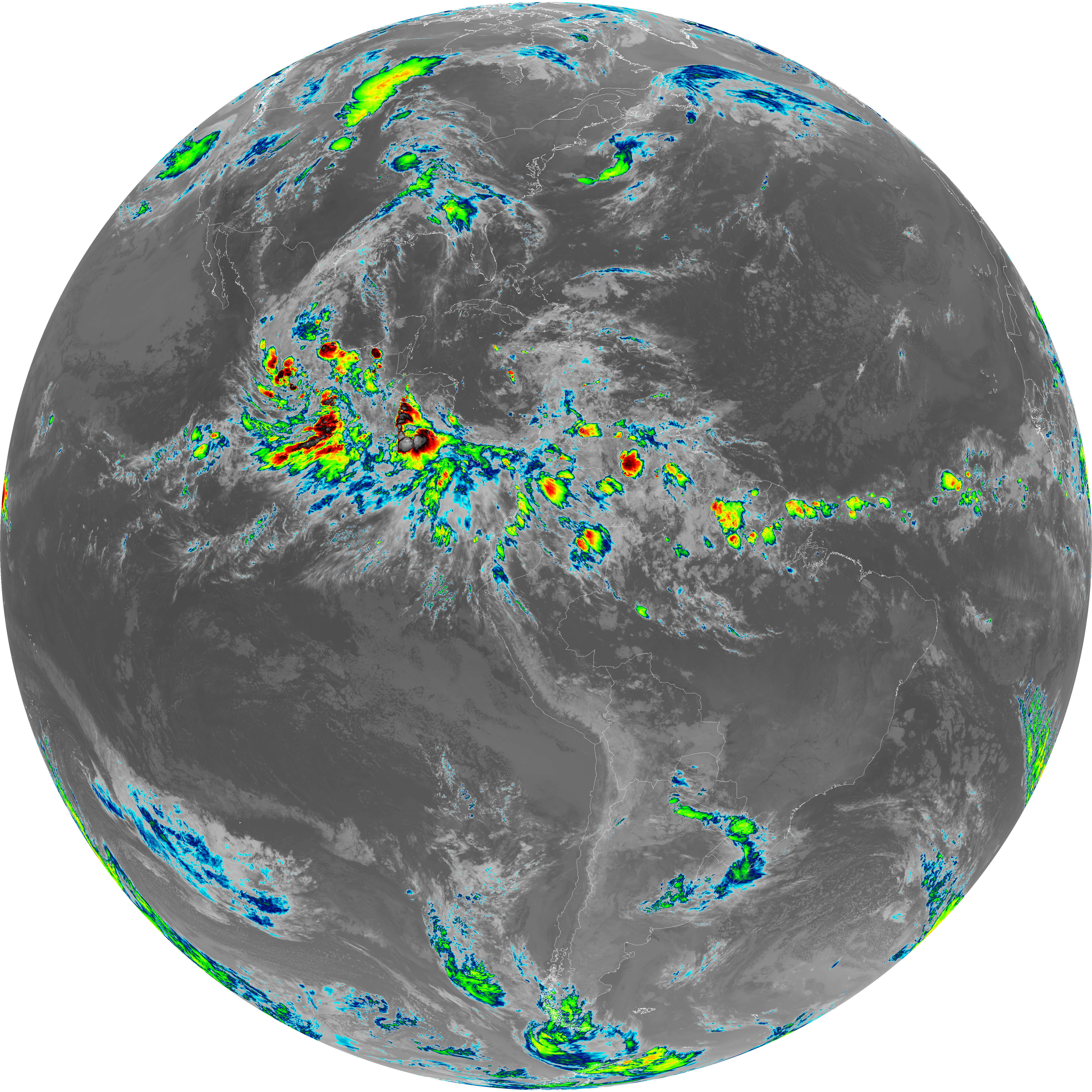
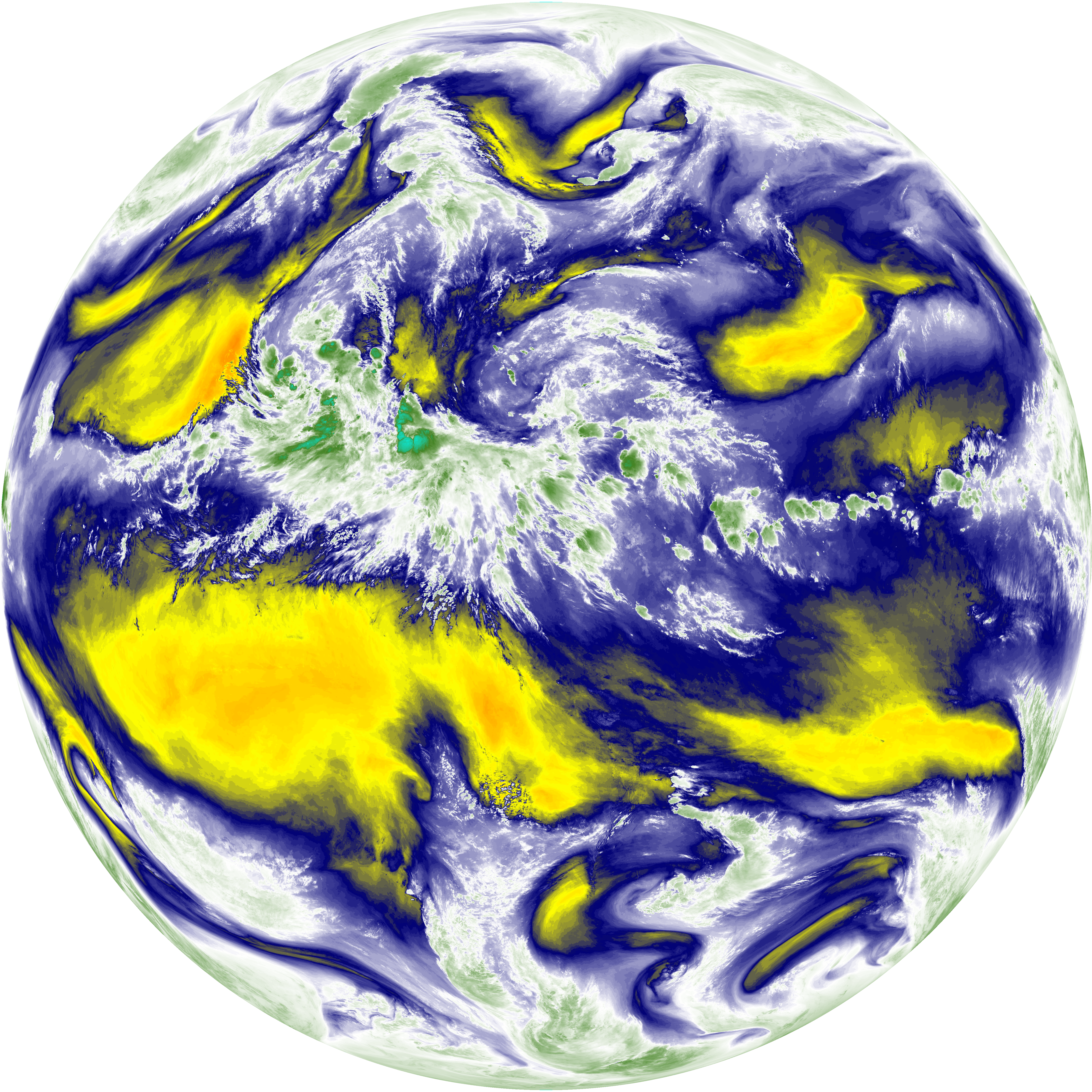
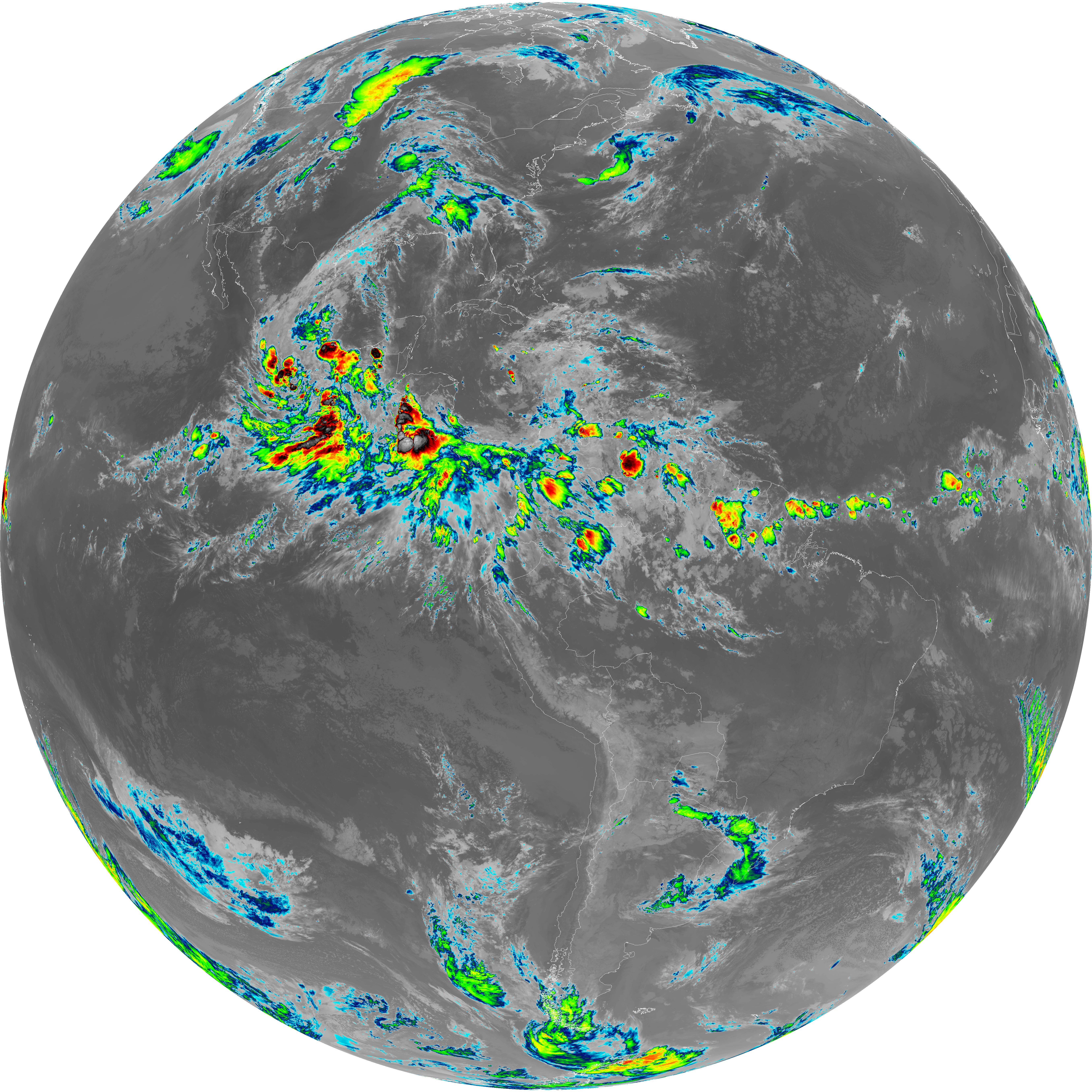
| abi_rgb_Shortwave_Window_Band.png | 15133408 | 2026-Jun-08 04:43 |
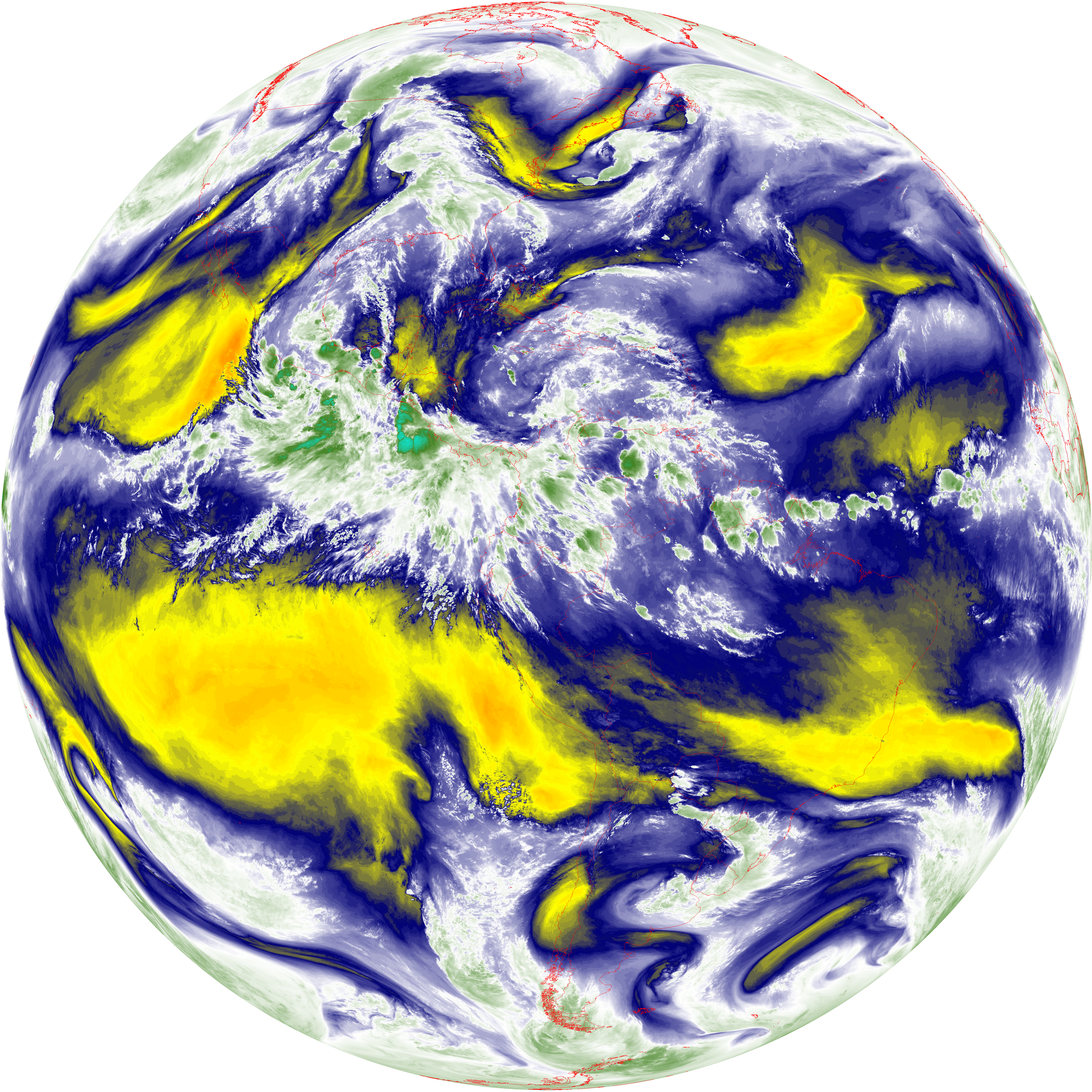
| abi_rgb_Shortwave_Window_Band_map.png | 15184408 | 2026-Jun-08 04:43 |
| G19_13_20260608T043021Z.png | 10144077 | 2026-Jun-08 04:45 |
| G19_2_20260608T043021Z.png | 415722 | 2026-Jun-08 04:46 |
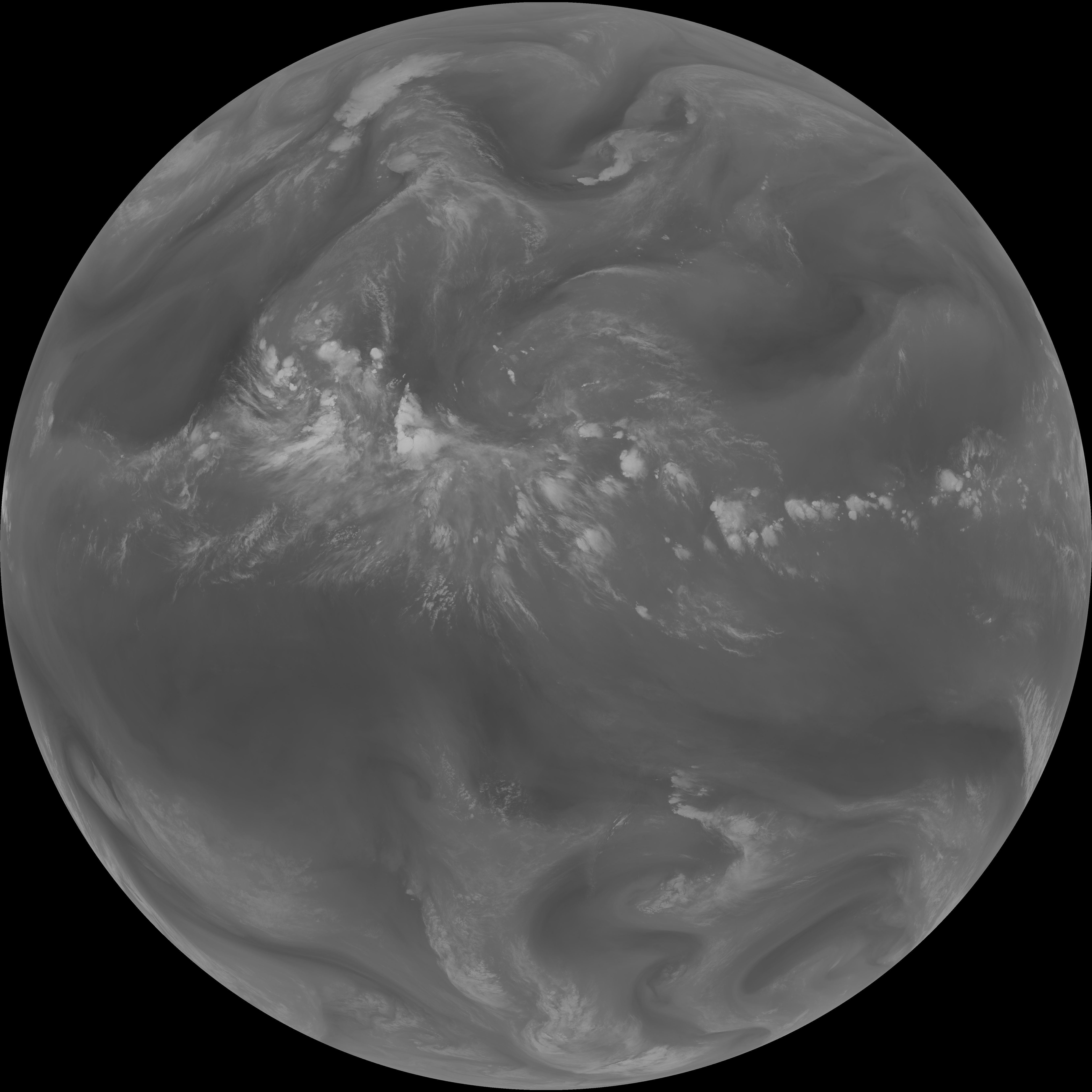
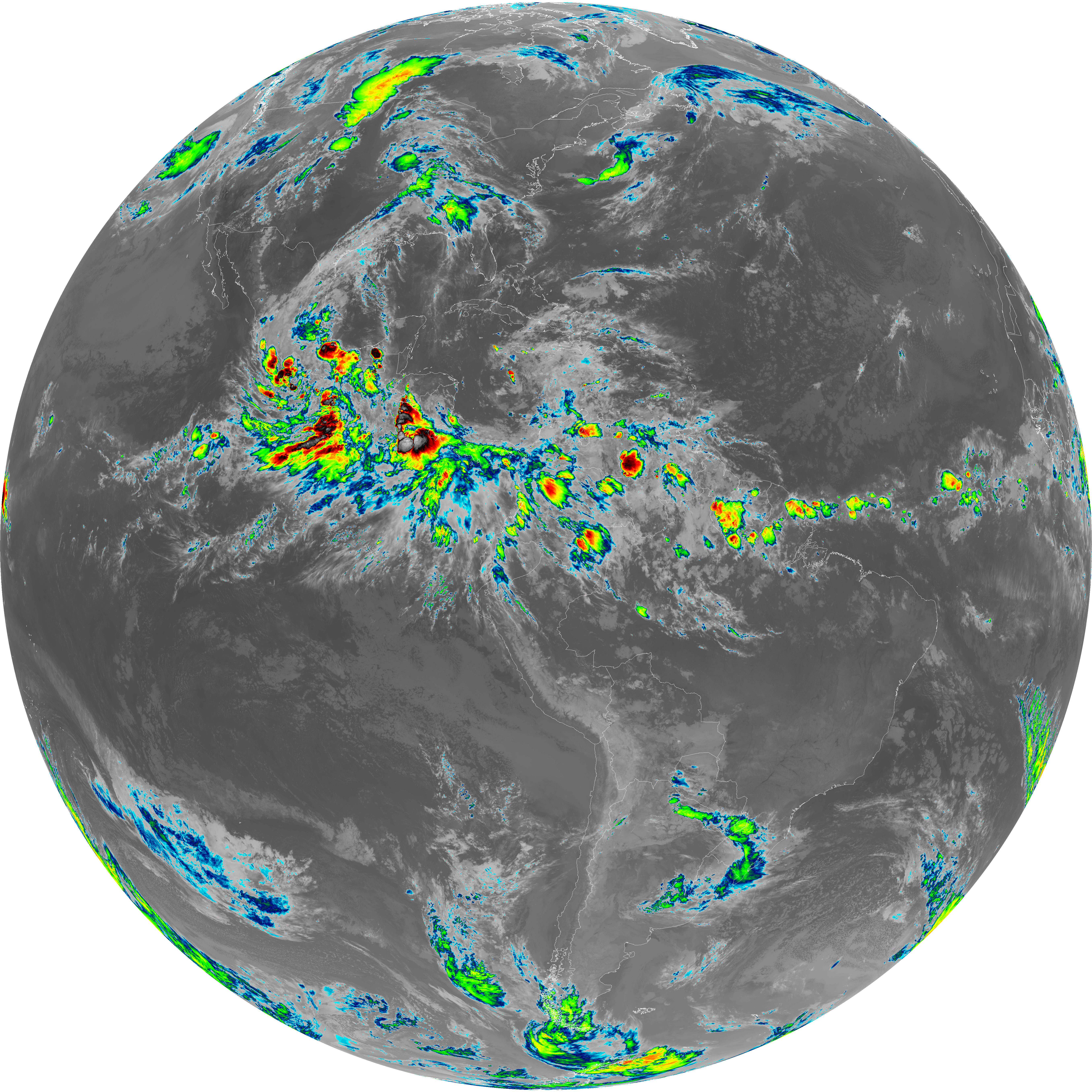
| abi_rgb_Clean_Longwave_IR_Window_Band.png | 13616575 | 2026-Jun-08 04:46 |
| abi_rgb_Clean_Longwave_IR_Window_Band_map.png | 13664339 | 2026-Jun-08 04:46 |
| G19_8_20260608T043021Z.png | 5469818 | 2026-Jun-08 04:47 |
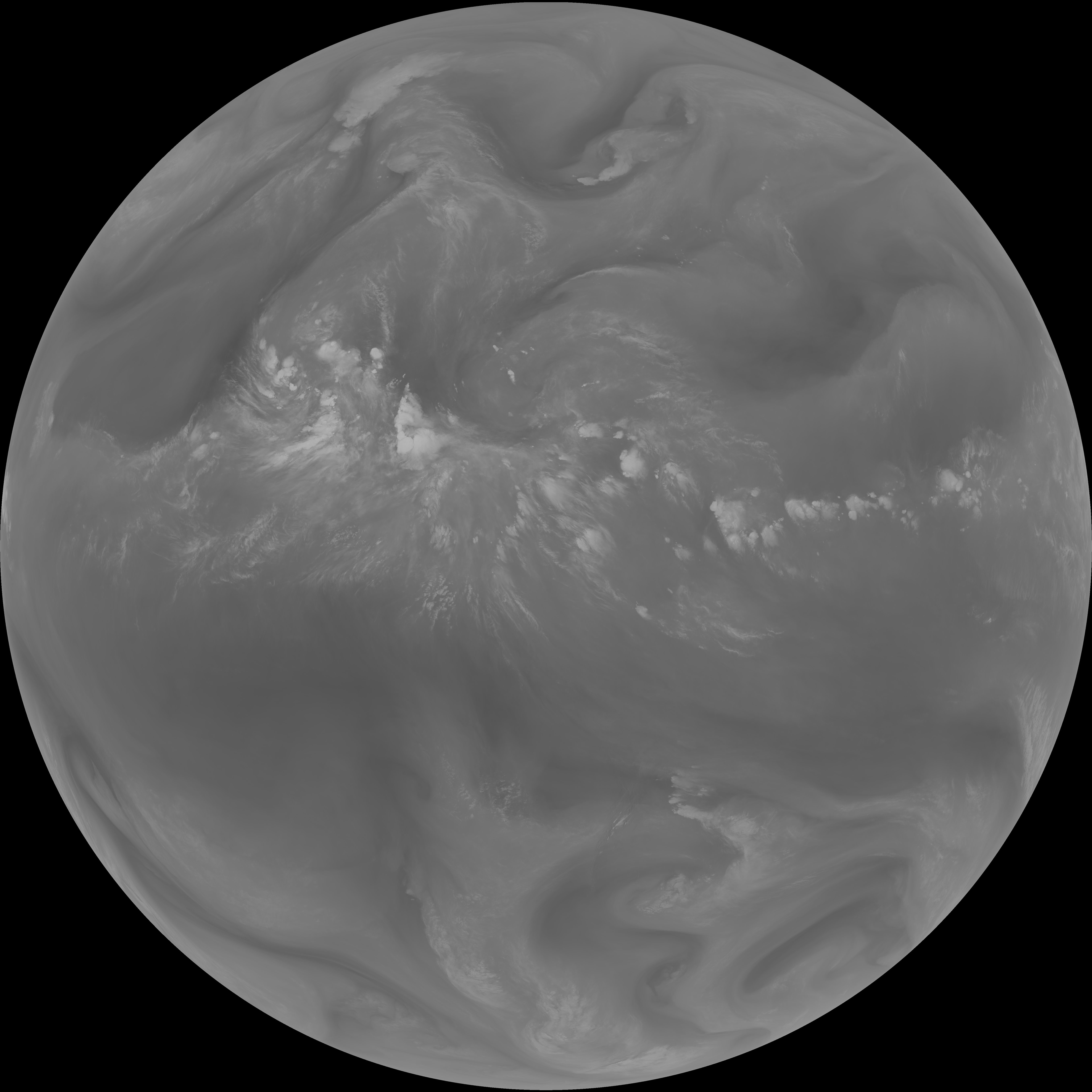
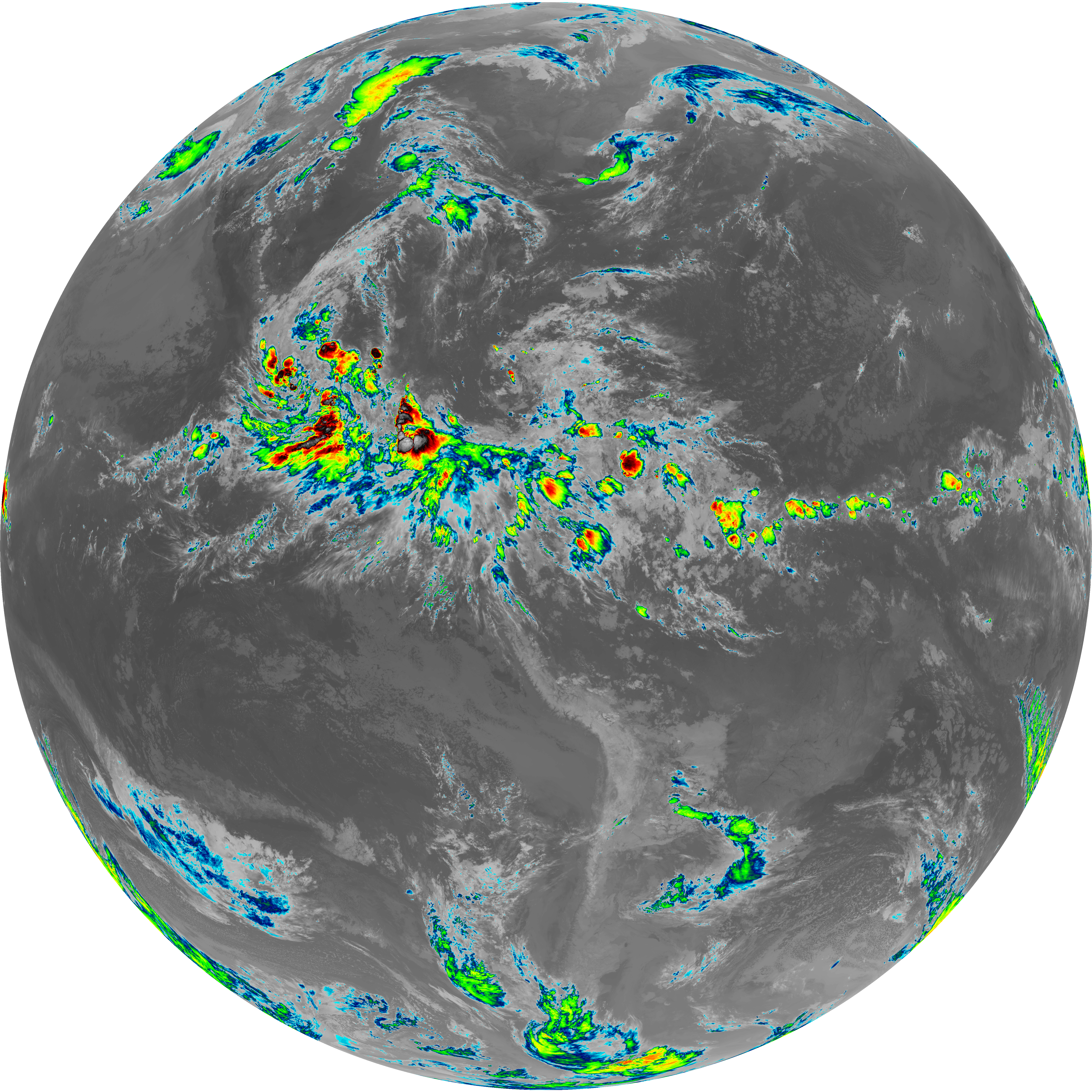
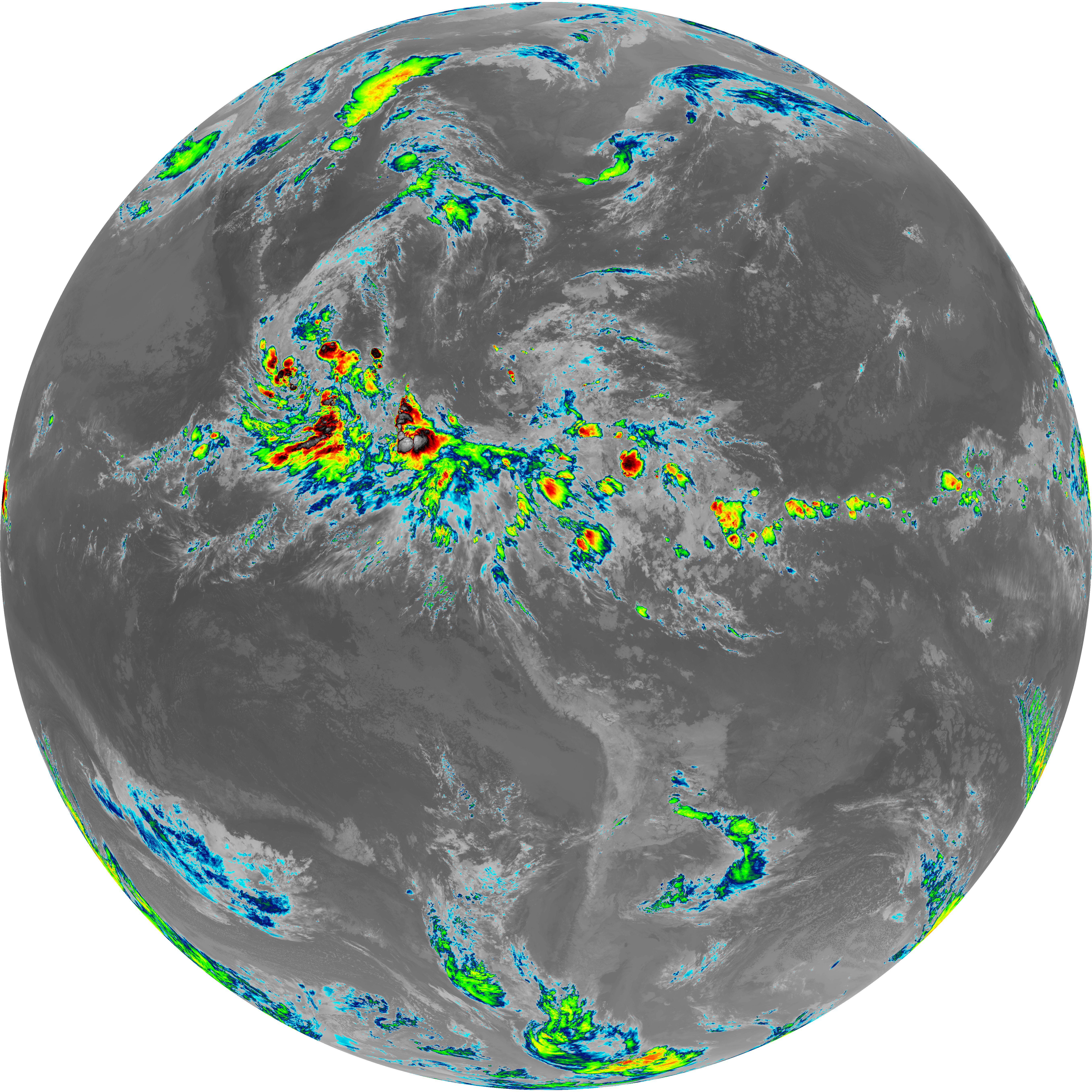
| abi_rgb_Upper-Level_Tropospheric_Water_Vapor.png | 7328844 | 2026-Jun-08 04:48 |
| abi_rgb_Upper-Level_Tropospheric_Water_Vapor_map.png | 7438575 | 2026-Jun-08 04:48 |
| G19_9_20260608T043021Z.png | 6343769 | 2026-Jun-08 04:49 |
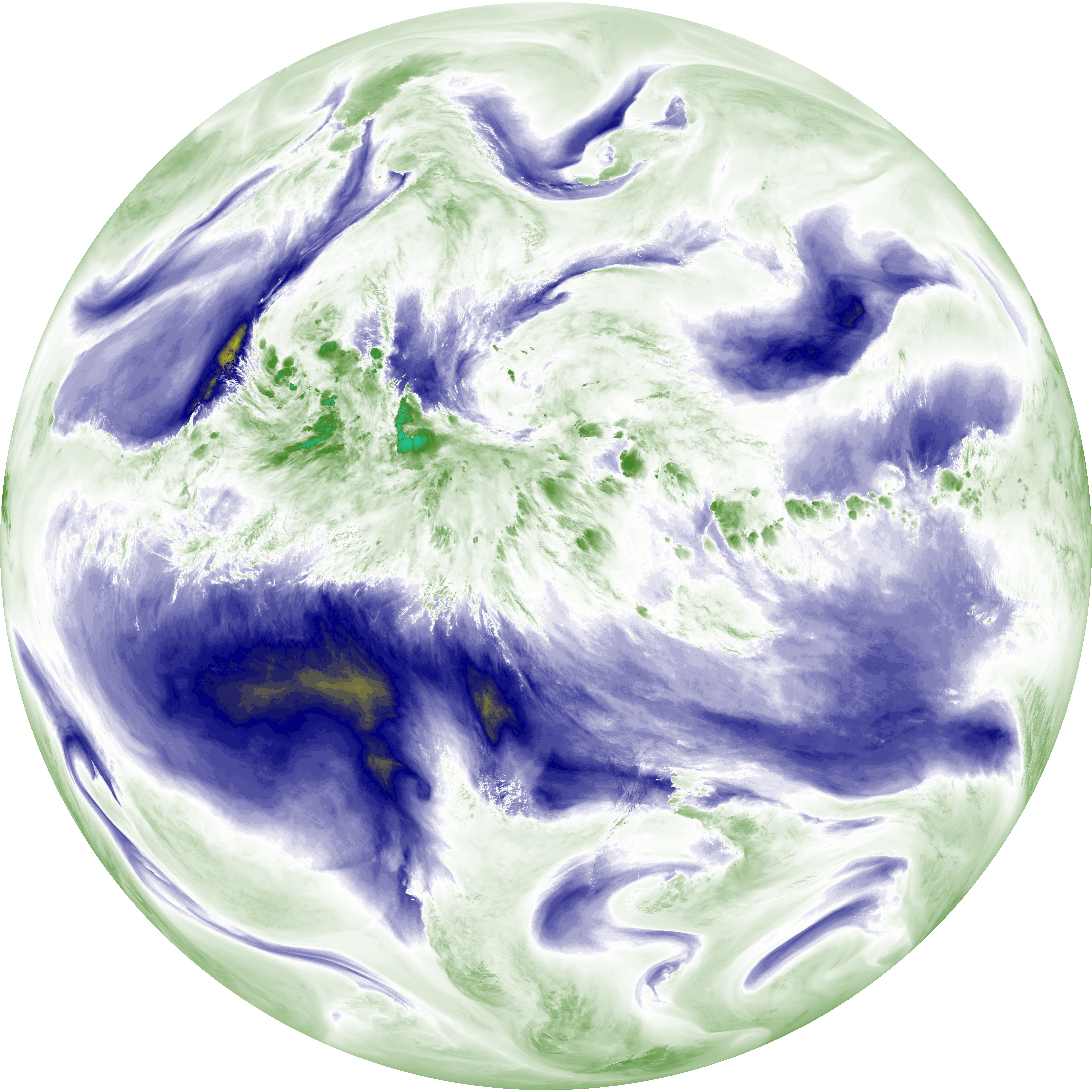
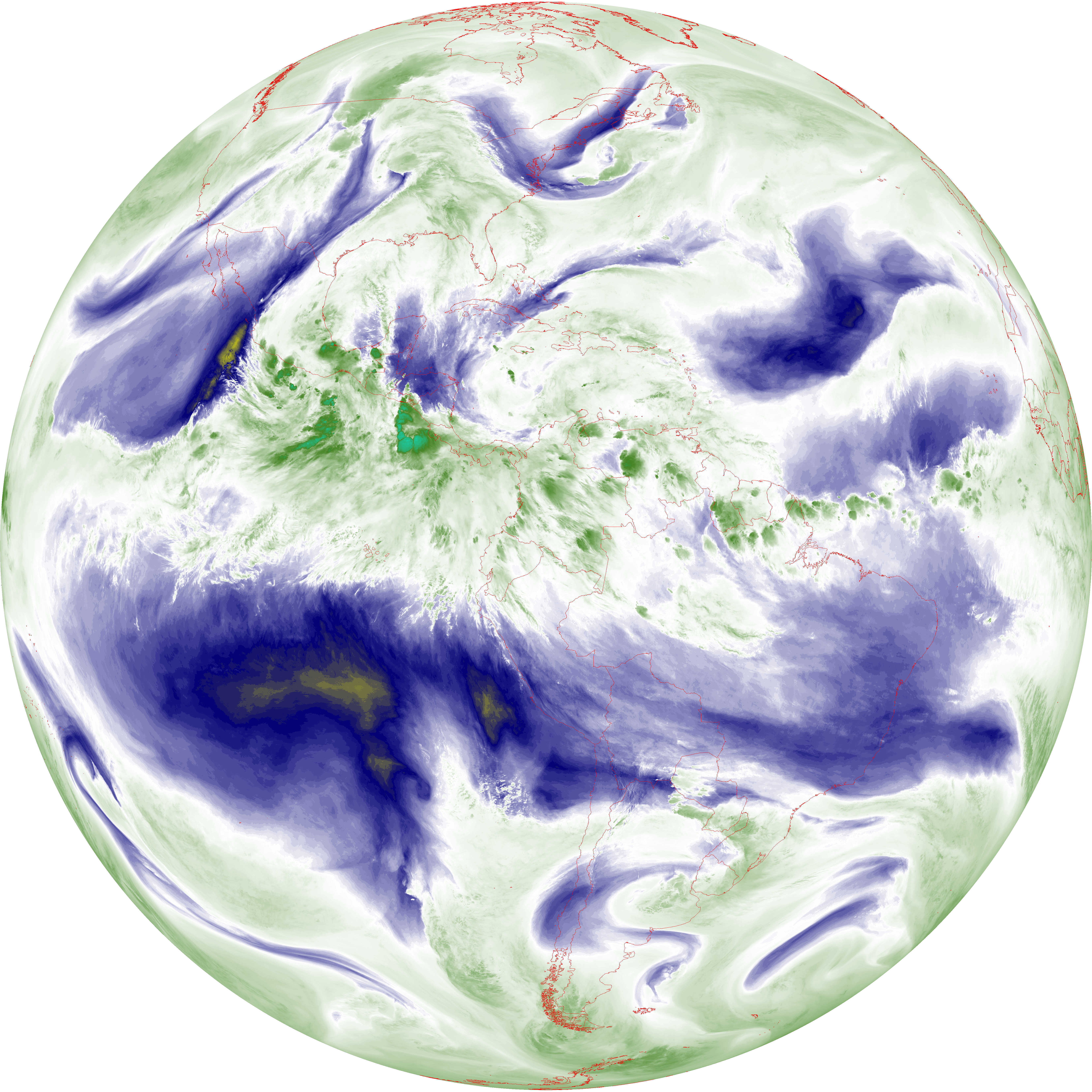
| abi_rgb_Mid-level_Tropospheric_Water_Vapor.png | 8550718 | 2026-Jun-08 04:50 |
| abi_rgb_Mid-level_Tropospheric_Water_Vapor_map.png | 8650960 | 2026-Jun-08 04:50 |
| G19_14_20260608T043021Z.png | 10286969 | 2026-Jun-08 04:53 |
| abi_rgb_Infrared_Longwave_Window_Band.png | 13783917 | 2026-Jun-08 04:53 |
| abi_rgb_Infrared_Longwave_Window_Band_map.png | 13830257 | 2026-Jun-08 04:53 |
| G19_15_20260608T043021Z.png | 10019384 | 2026-Jun-08 04:56 |
| abi_rgb_Dirty_Longwave_Window.png | 13461617 | 2026-Jun-08 04:56 |
| abi_rgb_Dirty_Longwave_Window_map.png | 13511512 | 2026-Jun-08 04:56 |
| abi_rgb_Dirty_Longwave_Window_-_CIRA.png | 11783203 | 2026-Jun-08 04:56 |
| abi_rgb_Dirty_Longwave_Window_-_CIRA_map.png | 11846277 | 2026-Jun-08 04:56 |