| Parent directory/ | - | - |
| G19_13_20260608T050021Z.png | 10159768 | 2026-Jun-08 05:16 |
| G19_14_20260608T050021Z.png | 10300146 | 2026-Jun-08 05:23 |
| G19_15_20260608T050021Z.png | 10036736 | 2026-Jun-08 05:26 |
| G19_2_20260608T050021Z.png | 366108 | 2026-Jun-08 05:16 |
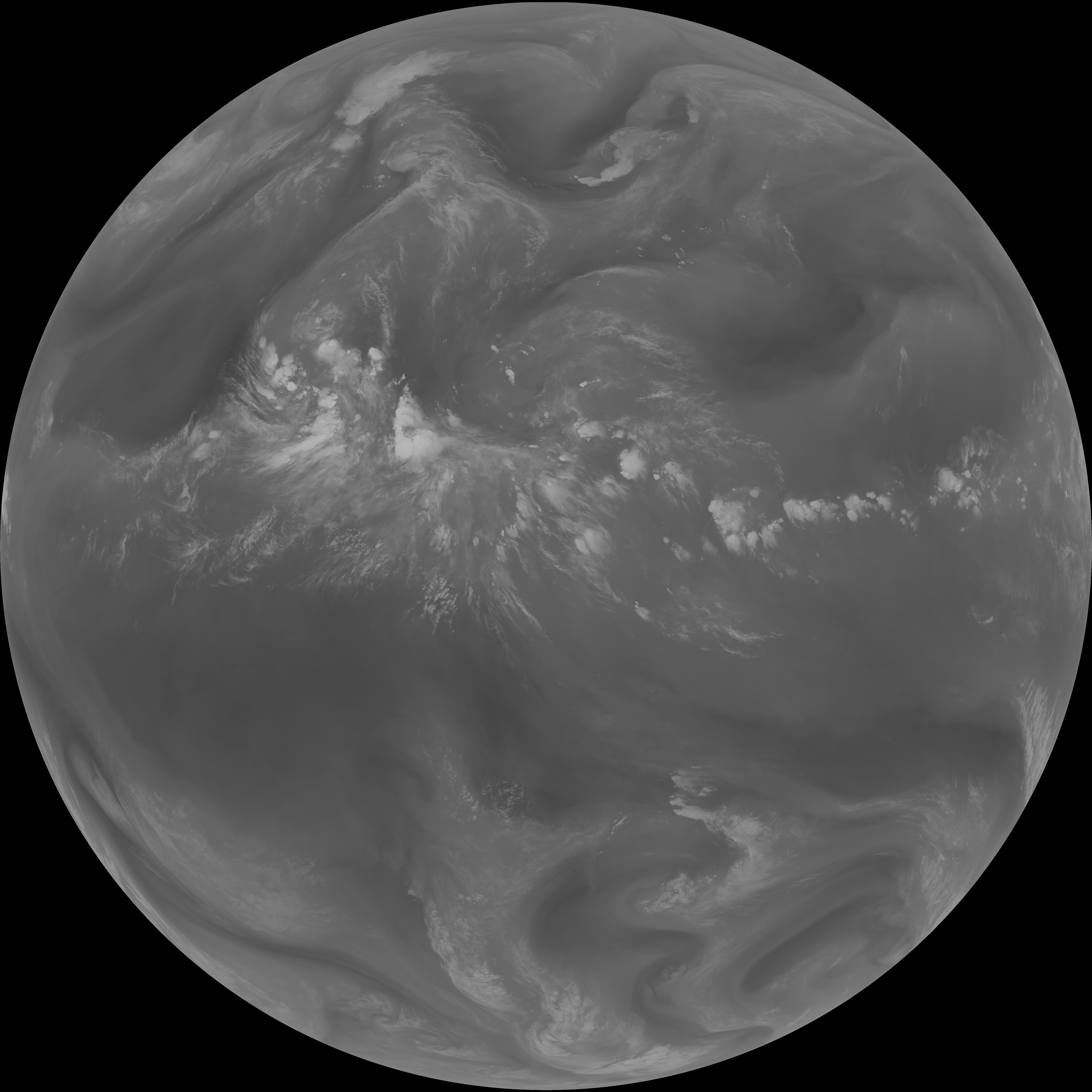
| G19_7_20260608T050021Z.png | 10975118 | 2026-Jun-08 05:13 |
| G19_8_20260608T050021Z.png | 5471899 | 2026-Jun-08 05:18 |
| G19_9_20260608T050021Z.png | 6336495 | 2026-Jun-08 05:20 |
| abi_rgb_Clean_Longwave_IR_Window_Band.png | 13640330 | 2026-Jun-08 05:16 |
| abi_rgb_Clean_Longwave_IR_Window_Band_map.png | 13686224 | 2026-Jun-08 05:16 |
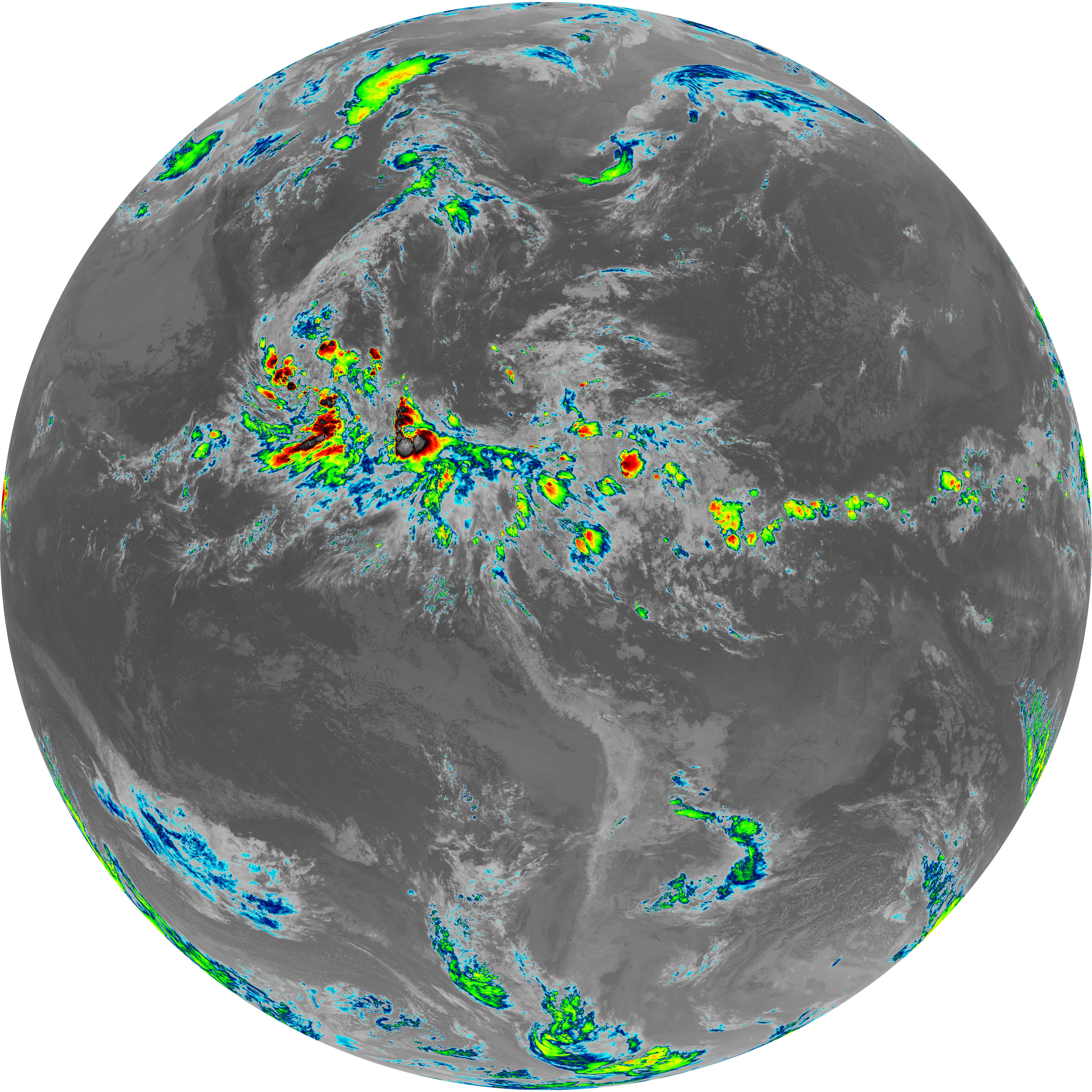
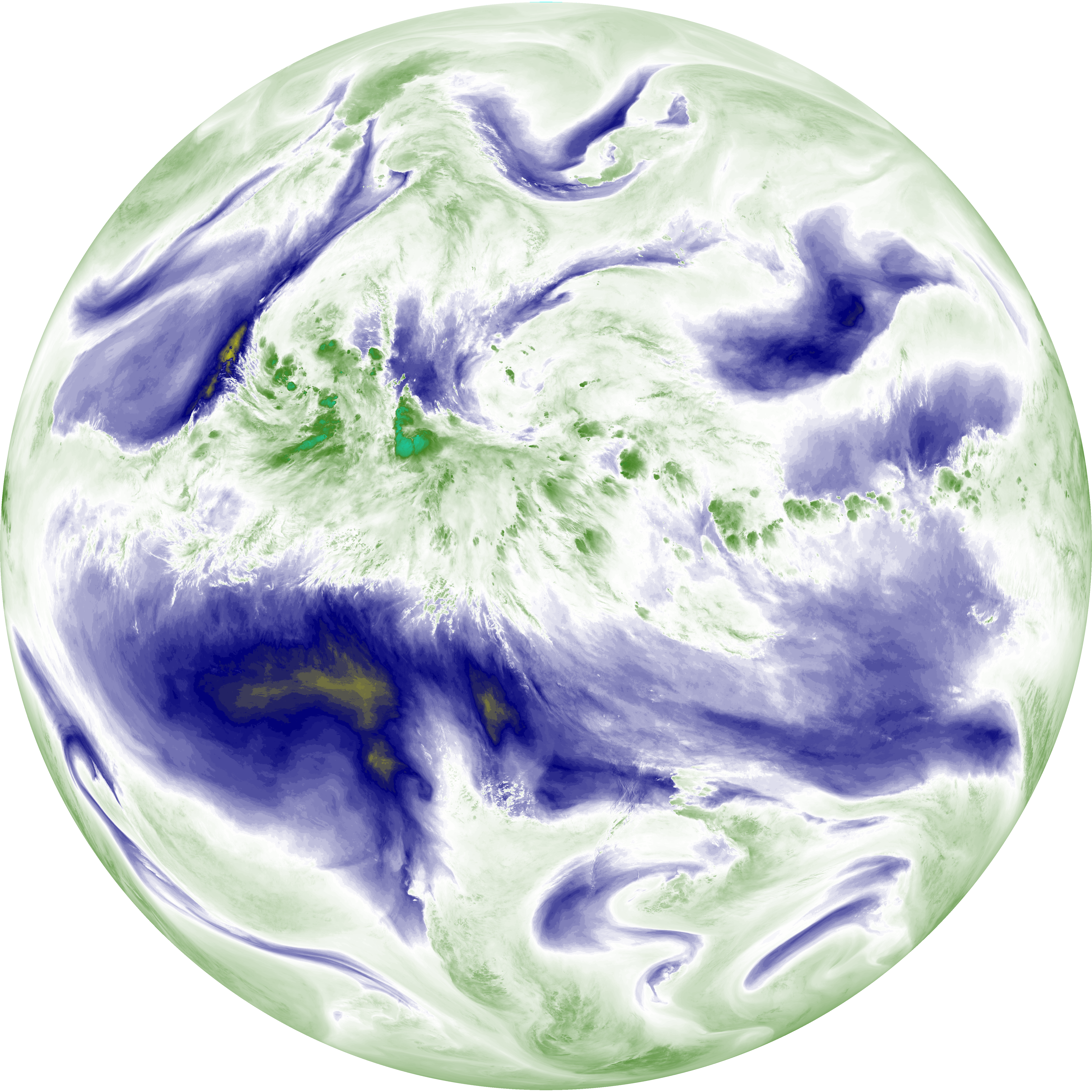
| abi_rgb_Dirty_Longwave_Window.png | 13485759 | 2026-Jun-08 05:26 |
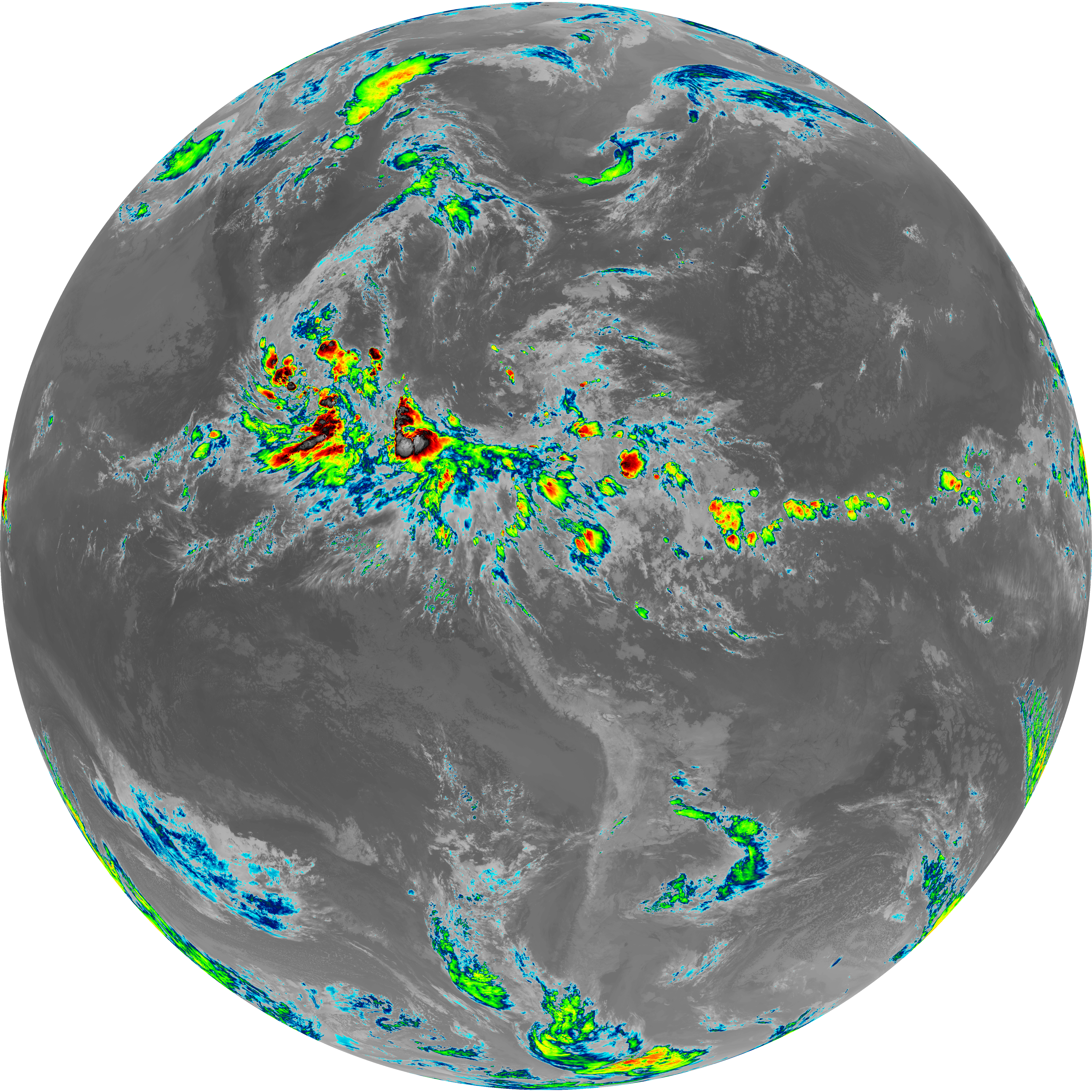
| abi_rgb_Dirty_Longwave_Window_-_CIRA.png | 11796486 | 2026-Jun-08 05:26 |
| abi_rgb_Dirty_Longwave_Window_-_CIRA_map.png | 11857940 | 2026-Jun-08 05:26 |
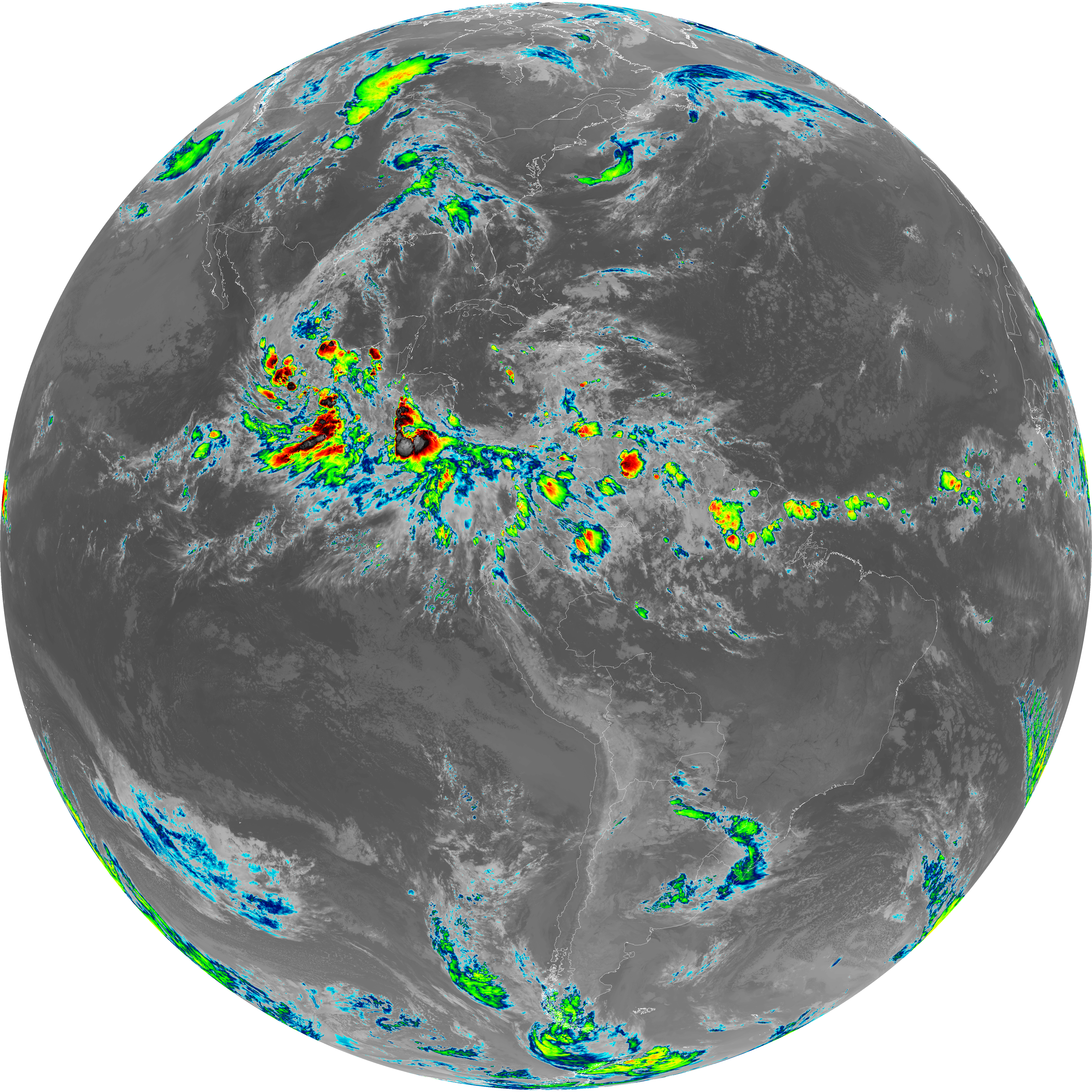
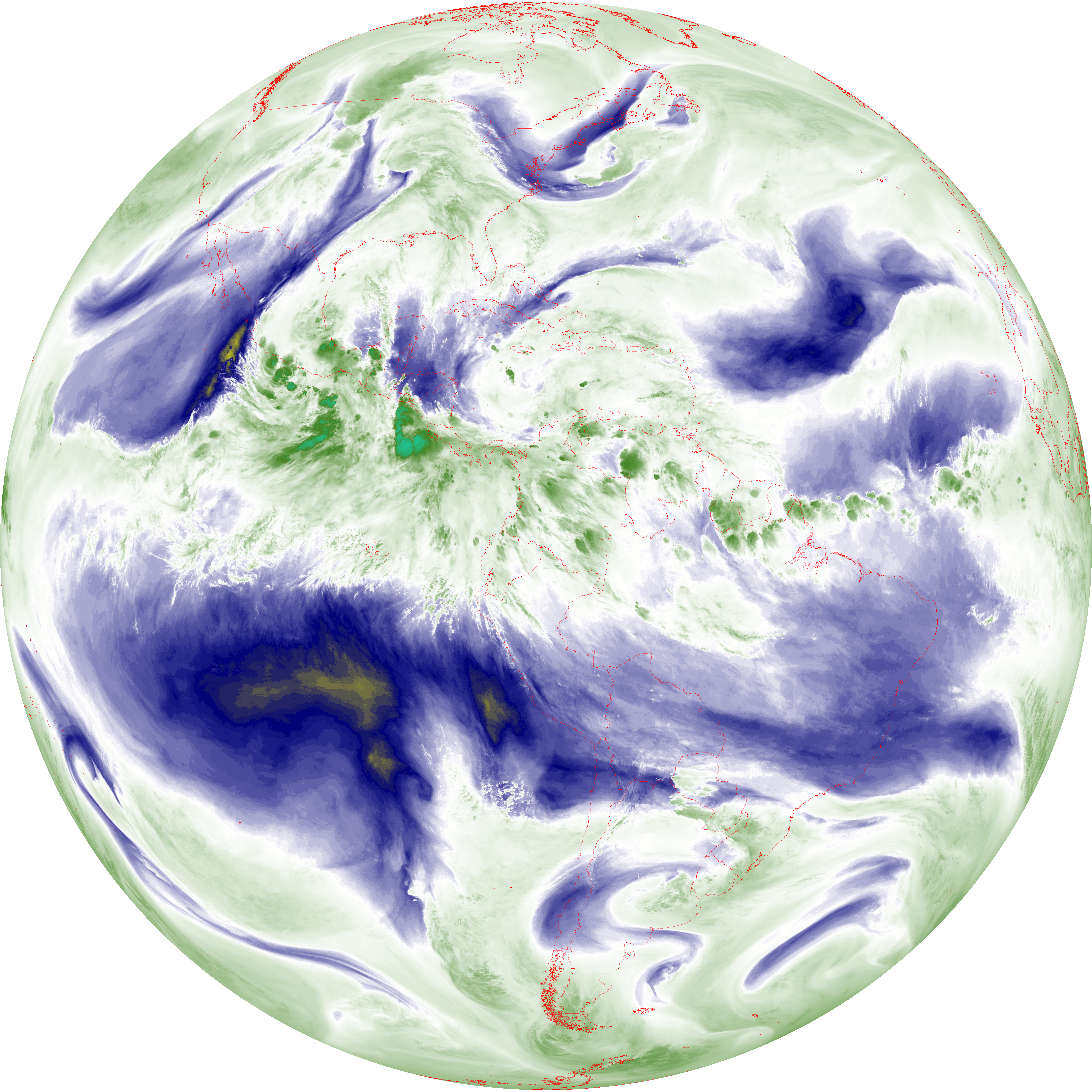
| abi_rgb_Dirty_Longwave_Window_map.png | 13535032 | 2026-Jun-08 05:26 |
| abi_rgb_Infrared_Longwave_Window_Band.png | 13800103 | 2026-Jun-08 05:23 |
| abi_rgb_Infrared_Longwave_Window_Band_map.png | 13844812 | 2026-Jun-08 05:23 |
| abi_rgb_Mid-level_Tropospheric_Water_Vapor.png | 8545280 | 2026-Jun-08 05:20 |
| abi_rgb_Mid-level_Tropospheric_Water_Vapor_map.png | 8646264 | 2026-Jun-08 05:20 |
| abi_rgb_Shortwave_Window_Band.png | 15120197 | 2026-Jun-08 05:13 |
| abi_rgb_Shortwave_Window_Band_map.png | 15170485 | 2026-Jun-08 05:13 |
| abi_rgb_Upper-Level_Tropospheric_Water_Vapor.png | 7330439 | 2026-Jun-08 05:18 |
| abi_rgb_Upper-Level_Tropospheric_Water_Vapor_map.png | 7440174 | 2026-Jun-08 05:18 |