| Parent directory/ | - | - |
| G19_2_20260608T053021Z.png | 436757 | 2026-Jun-08 05:46 |
| G19_8_20260608T053021Z.png | 5470902 | 2026-Jun-08 05:48 |
| G19_9_20260608T053021Z.png | 6332630 | 2026-Jun-08 05:50 |
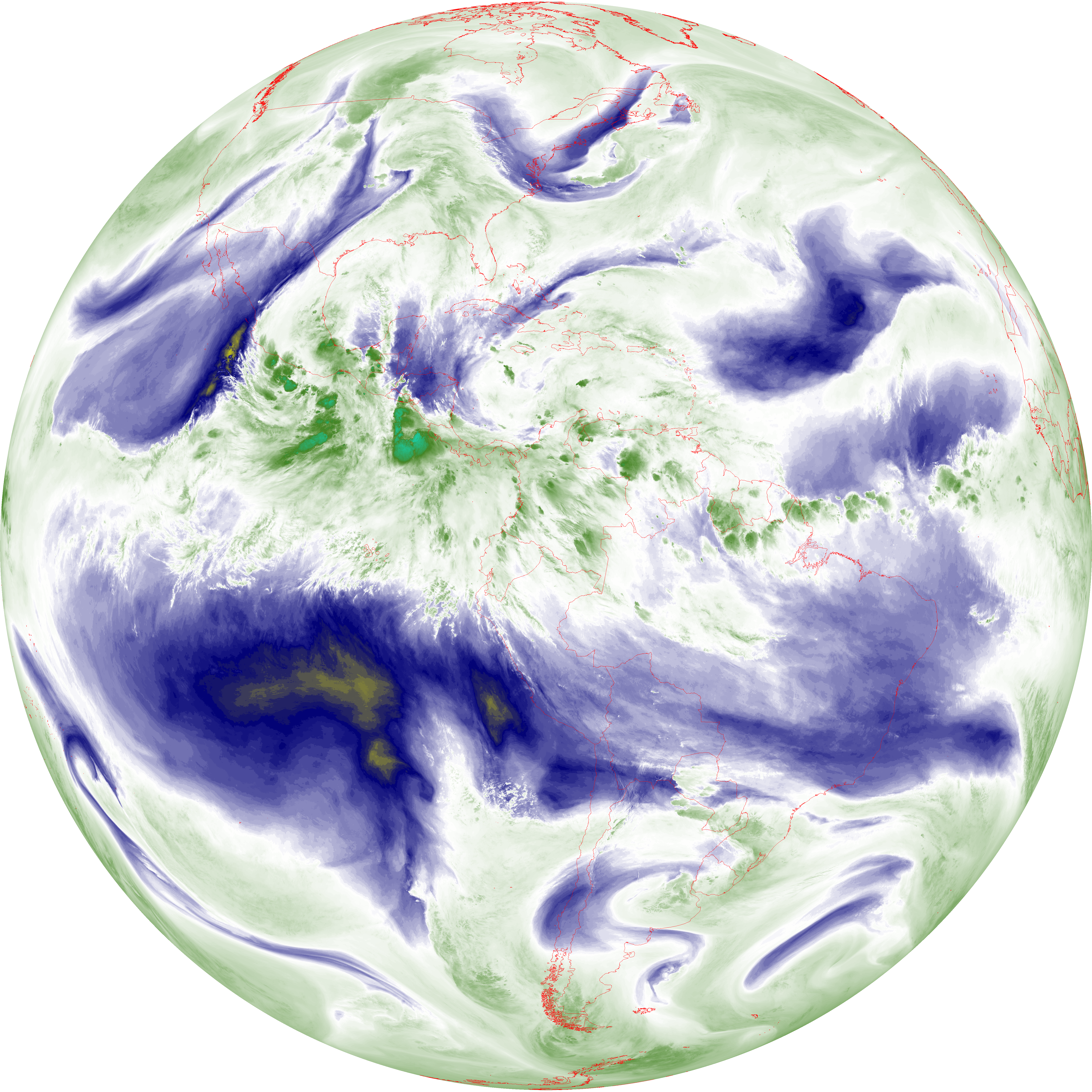
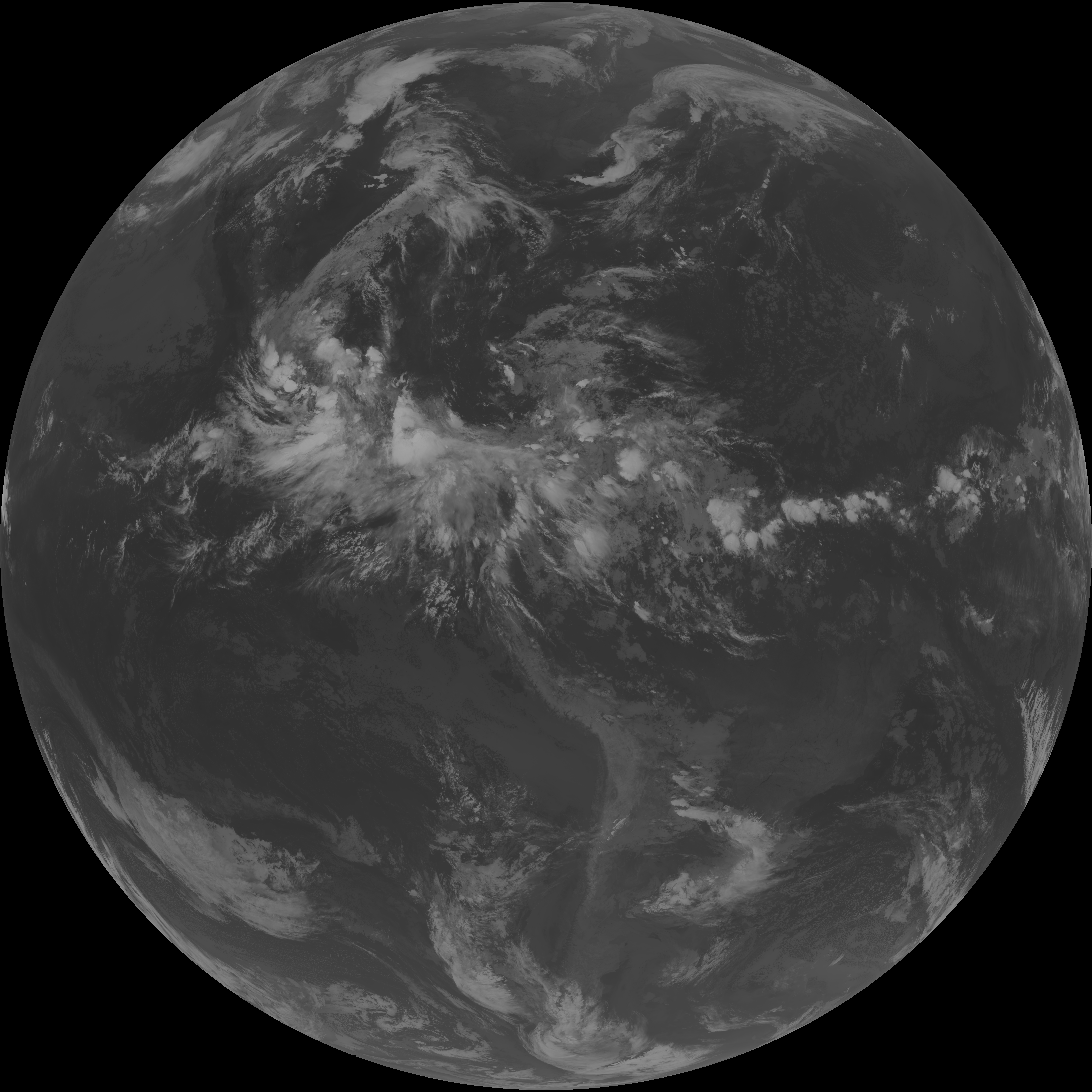
| abi_rgb_Upper-Level_Tropospheric_Water_Vapor.png | 7330670 | 2026-Jun-08 05:48 |
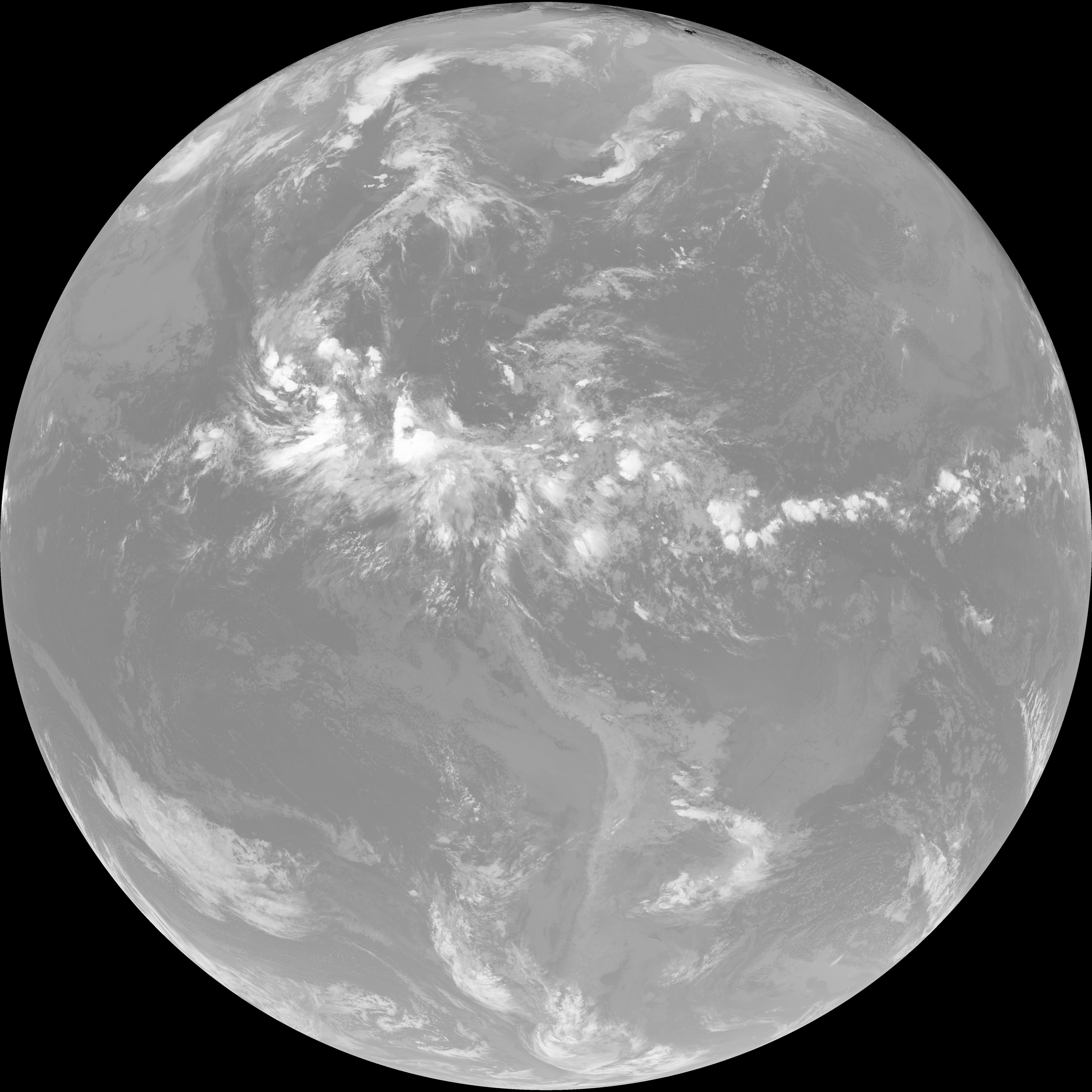
| abi_rgb_Upper-Level_Tropospheric_Water_Vapor_map.png | 7441327 | 2026-Jun-08 05:48 |
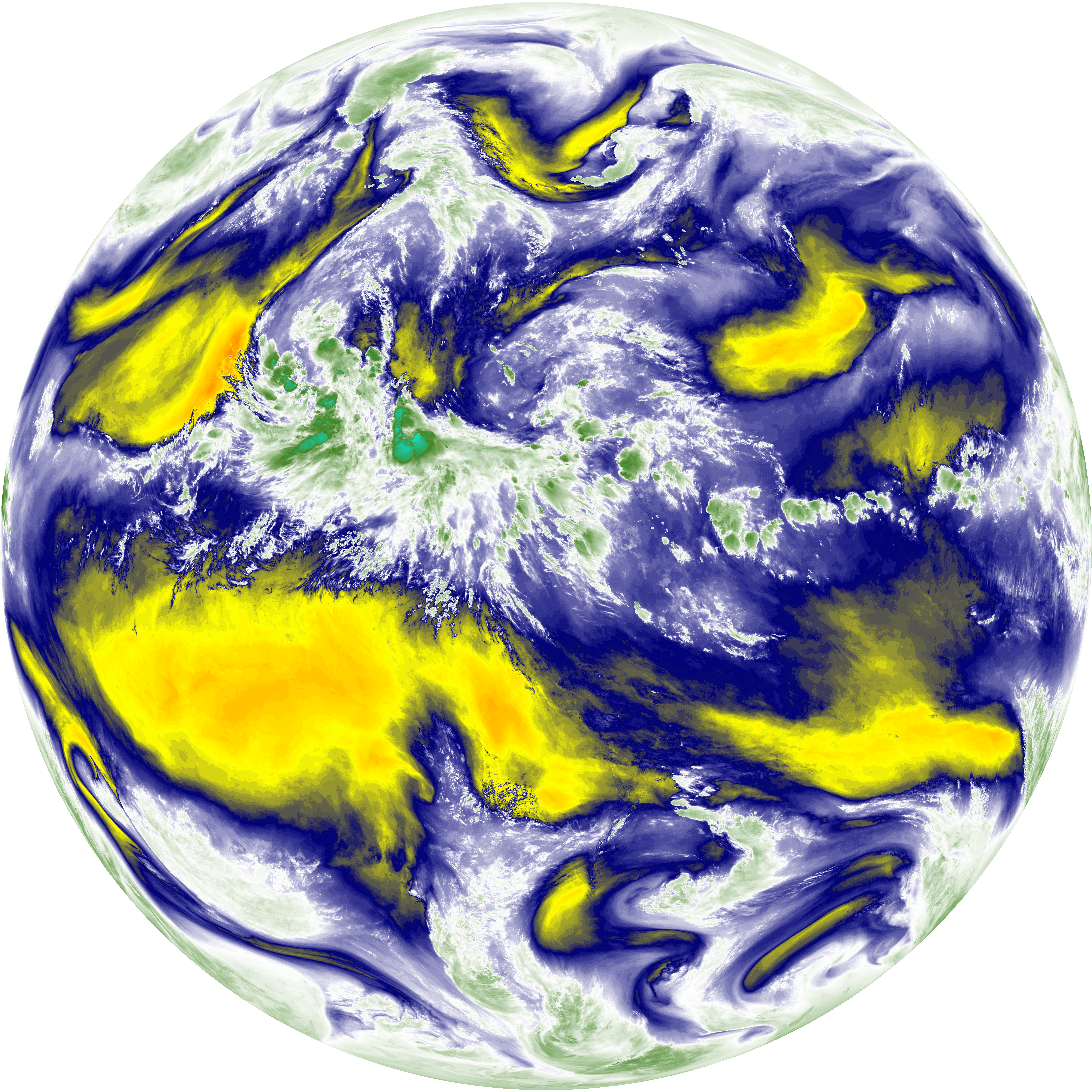
| abi_rgb_Mid-level_Tropospheric_Water_Vapor.png | 8543678 | 2026-Jun-08 05:50 |
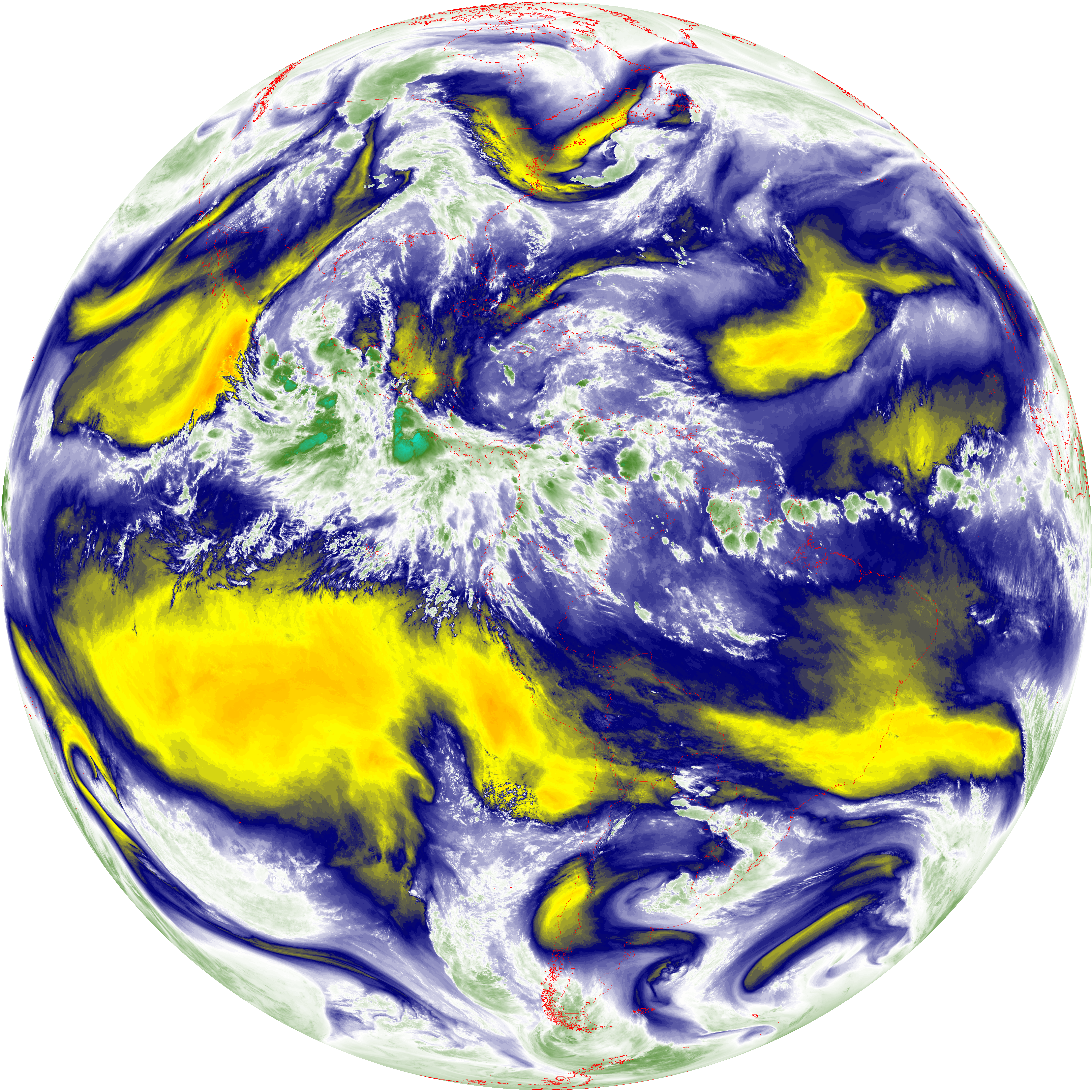
| abi_rgb_Mid-level_Tropospheric_Water_Vapor_map.png | 8644283 | 2026-Jun-08 05:50 |
| G19_15_20260608T053021Z.png | 10045625 | 2026-Jun-08 05:56 |
| G19_13_20260608T053021Z.png | 10172351 | 2026-Jun-08 05:46 |
| G19_14_20260608T053021Z.png | 10311664 | 2026-Jun-08 05:53 |
| G19_7_20260608T053021Z.png | 11025683 | 2026-Jun-08 05:43 |
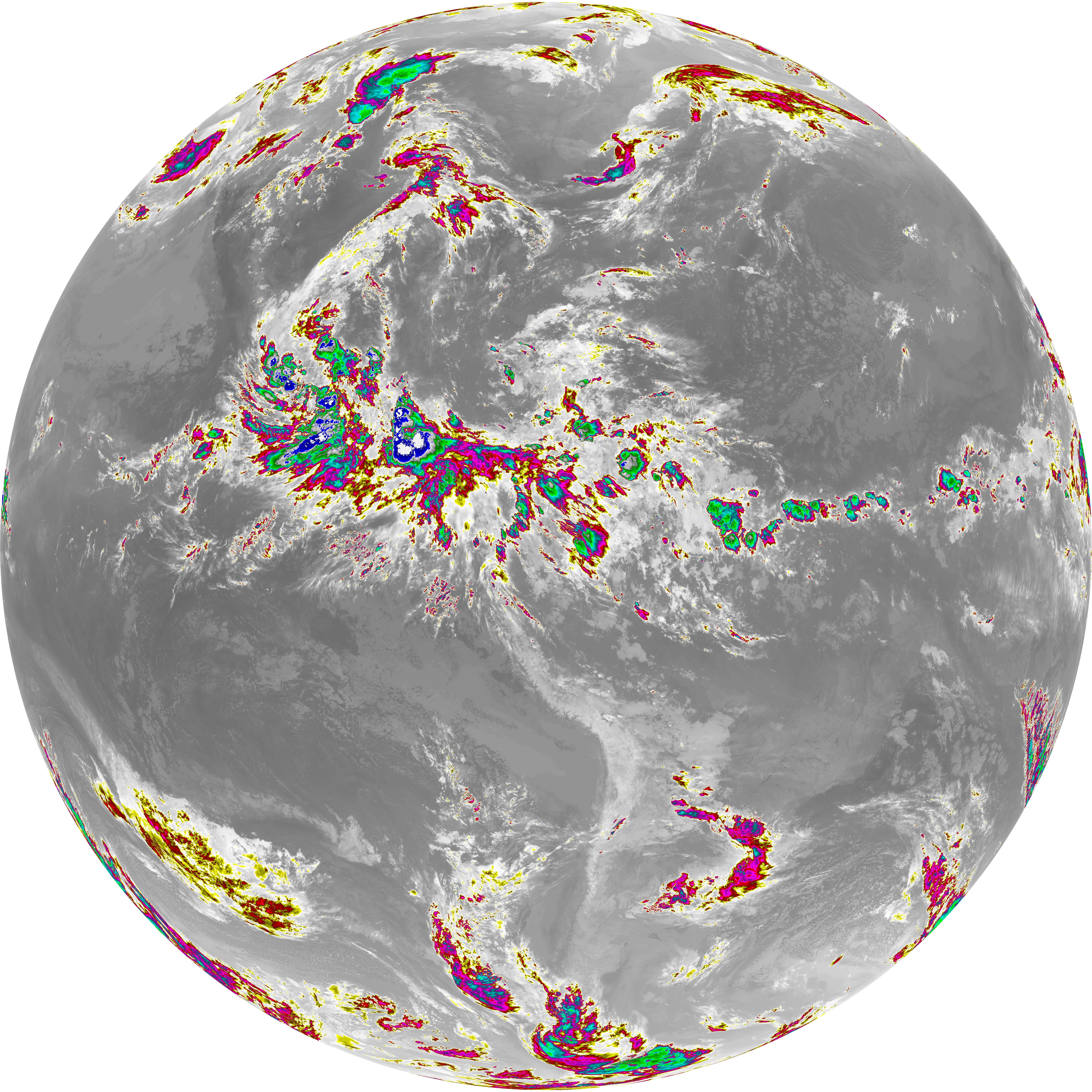
| abi_rgb_Dirty_Longwave_Window_-_CIRA.png | 11801714 | 2026-Jun-08 05:56 |
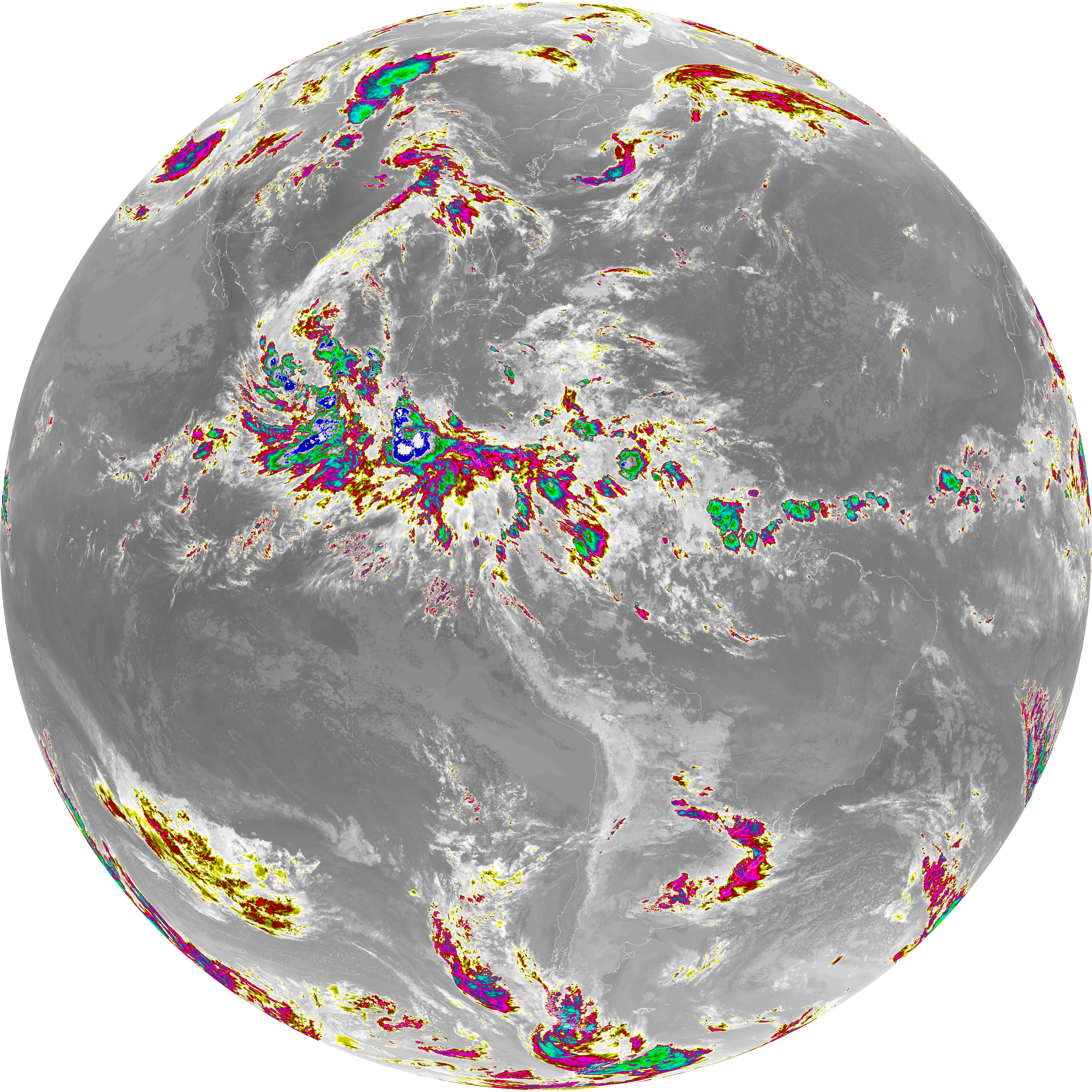
| abi_rgb_Dirty_Longwave_Window_-_CIRA_map.png | 11863816 | 2026-Jun-08 05:56 |
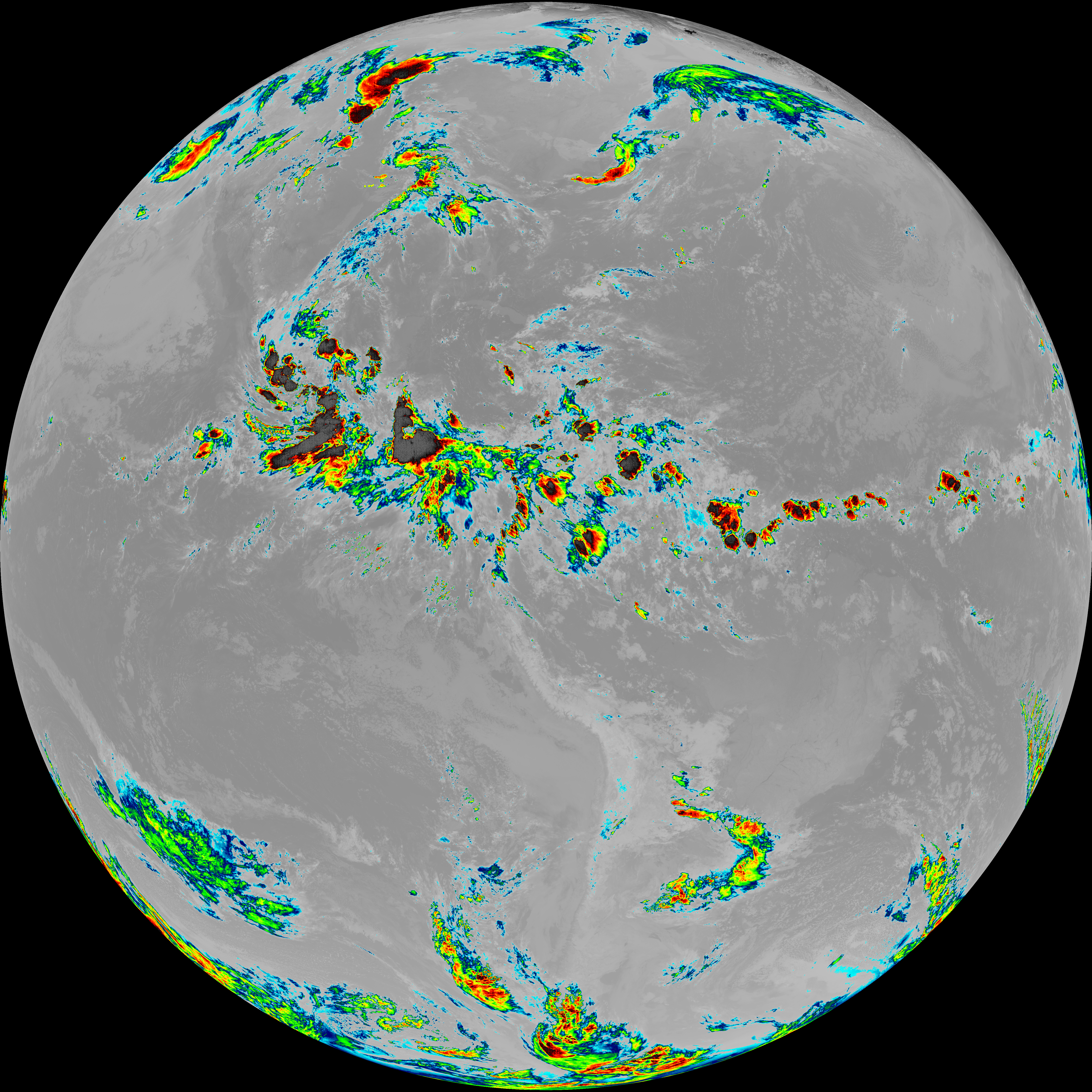
| abi_rgb_Dirty_Longwave_Window.png | 13501046 | 2026-Jun-08 05:56 |
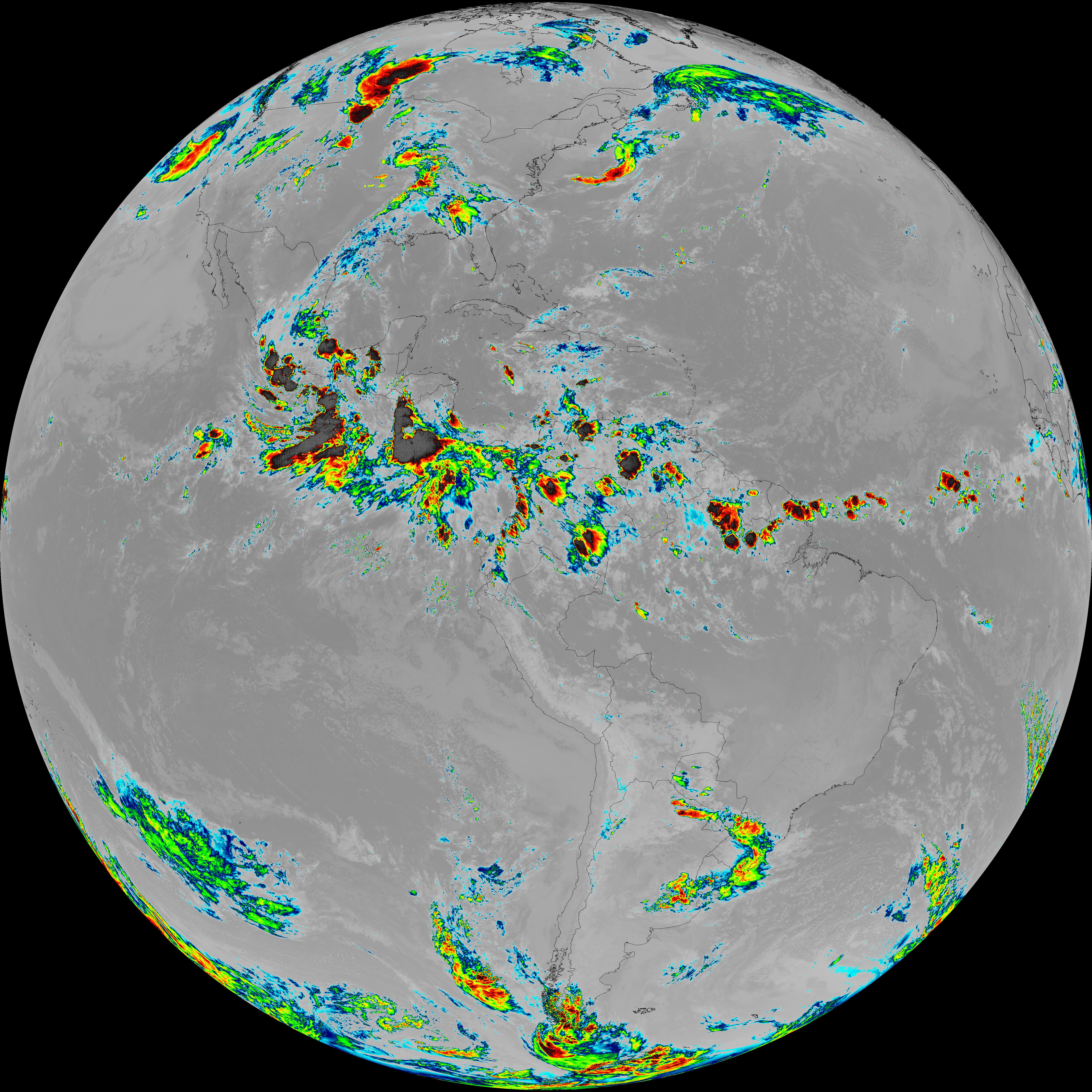
| abi_rgb_Dirty_Longwave_Window_map.png | 13549573 | 2026-Jun-08 05:56 |
| abi_rgb_Clean_Longwave_IR_Window_Band.png | 13661277 | 2026-Jun-08 05:46 |
| abi_rgb_Clean_Longwave_IR_Window_Band_map.png | 13708176 | 2026-Jun-08 05:46 |
| abi_rgb_Infrared_Longwave_Window_Band.png | 13816975 | 2026-Jun-08 05:53 |
| abi_rgb_Infrared_Longwave_Window_Band_map.png | 13862280 | 2026-Jun-08 05:53 |
| abi_rgb_Shortwave_Window_Band.png | 15192902 | 2026-Jun-08 05:43 |
| abi_rgb_Shortwave_Window_Band_map.png | 15243572 | 2026-Jun-08 05:43 |