| Parent directory/ | - | - |
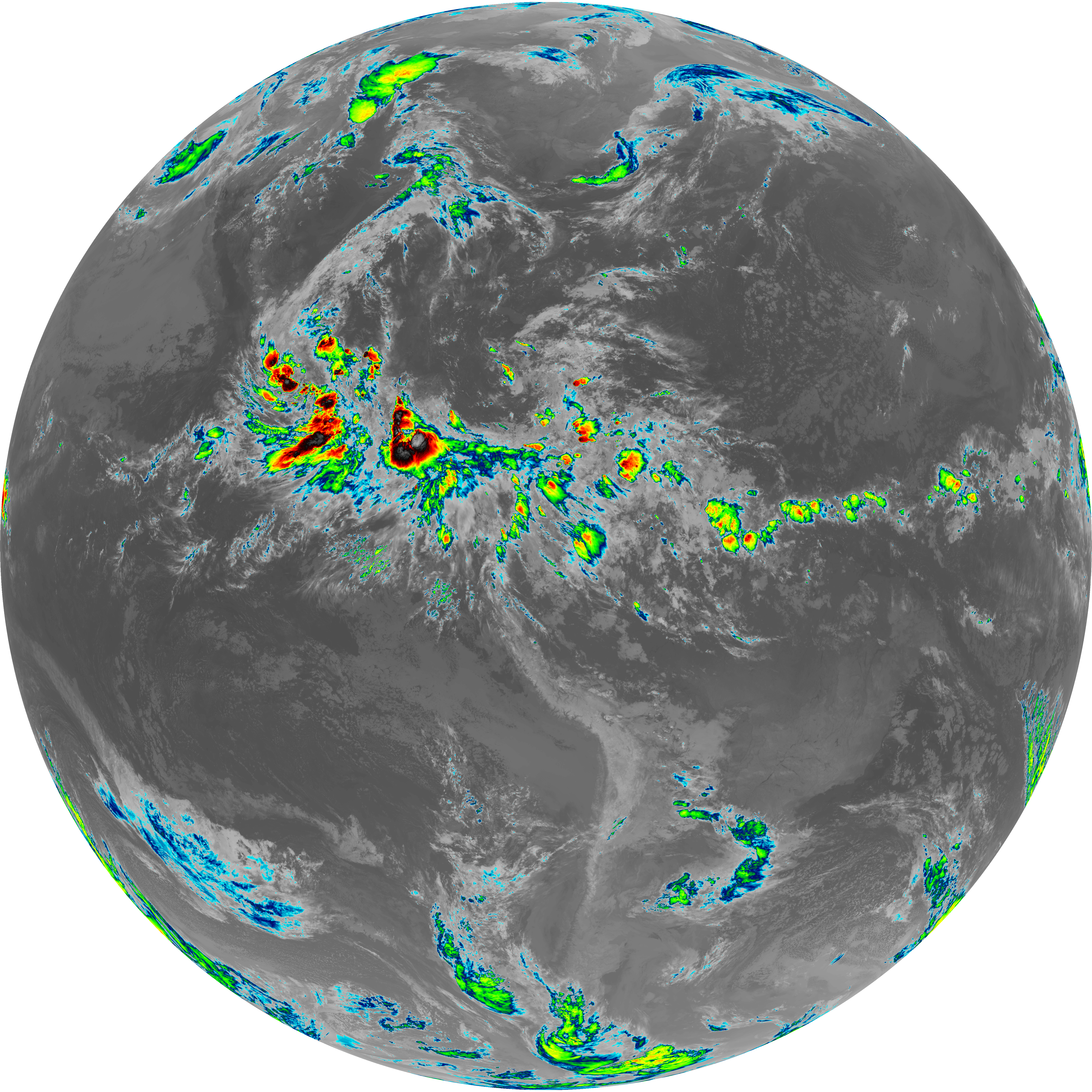
| abi_rgb_Upper-Level_Tropospheric_Water_Vapor_map.png | 7439406 | 2026-Jun-08 06:18 |
| abi_rgb_Upper-Level_Tropospheric_Water_Vapor.png | 7328672 | 2026-Jun-08 06:18 |
| abi_rgb_Shortwave_Window_Band_map.png | 15350271 | 2026-Jun-08 06:13 |
| abi_rgb_Shortwave_Window_Band.png | 15301919 | 2026-Jun-08 06:13 |
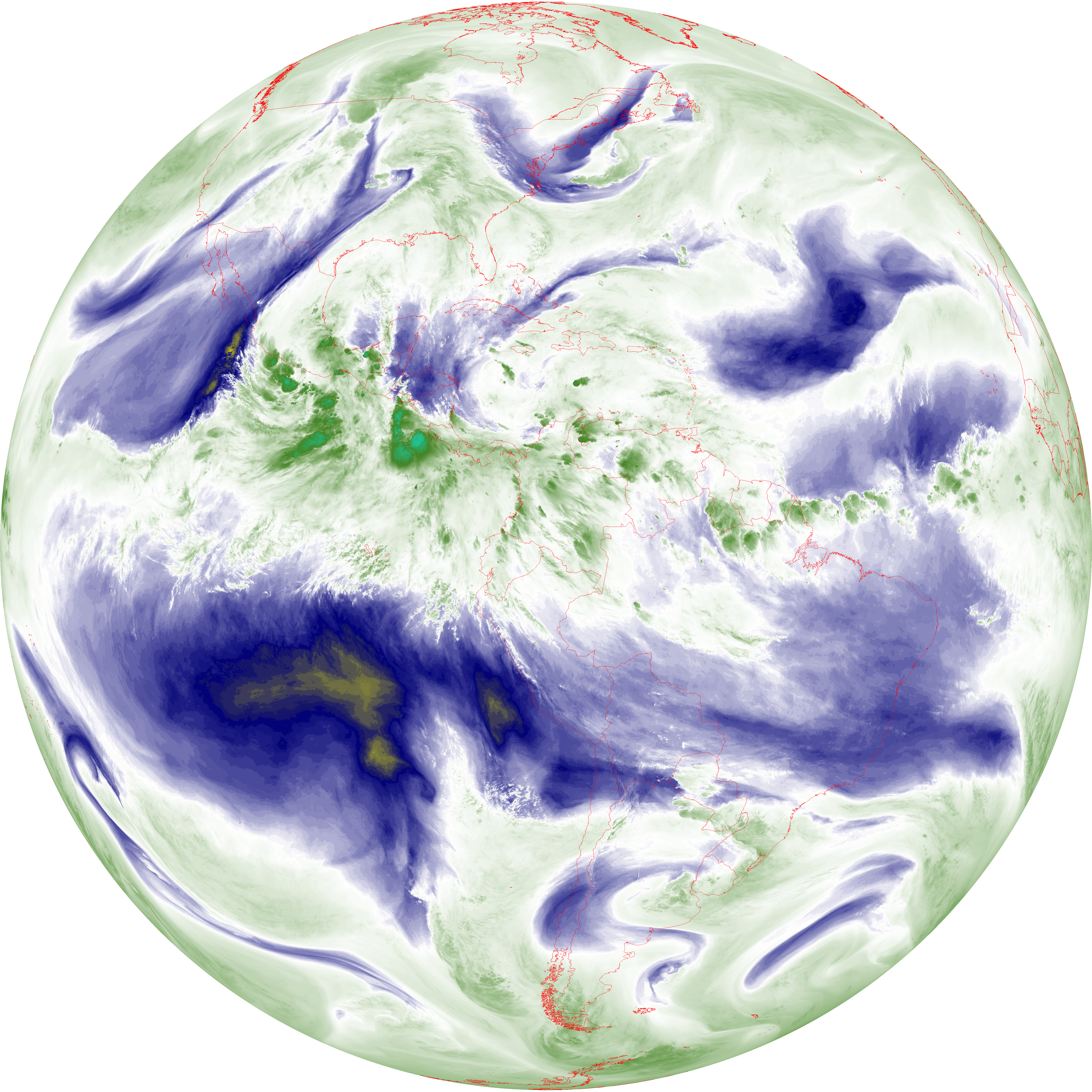
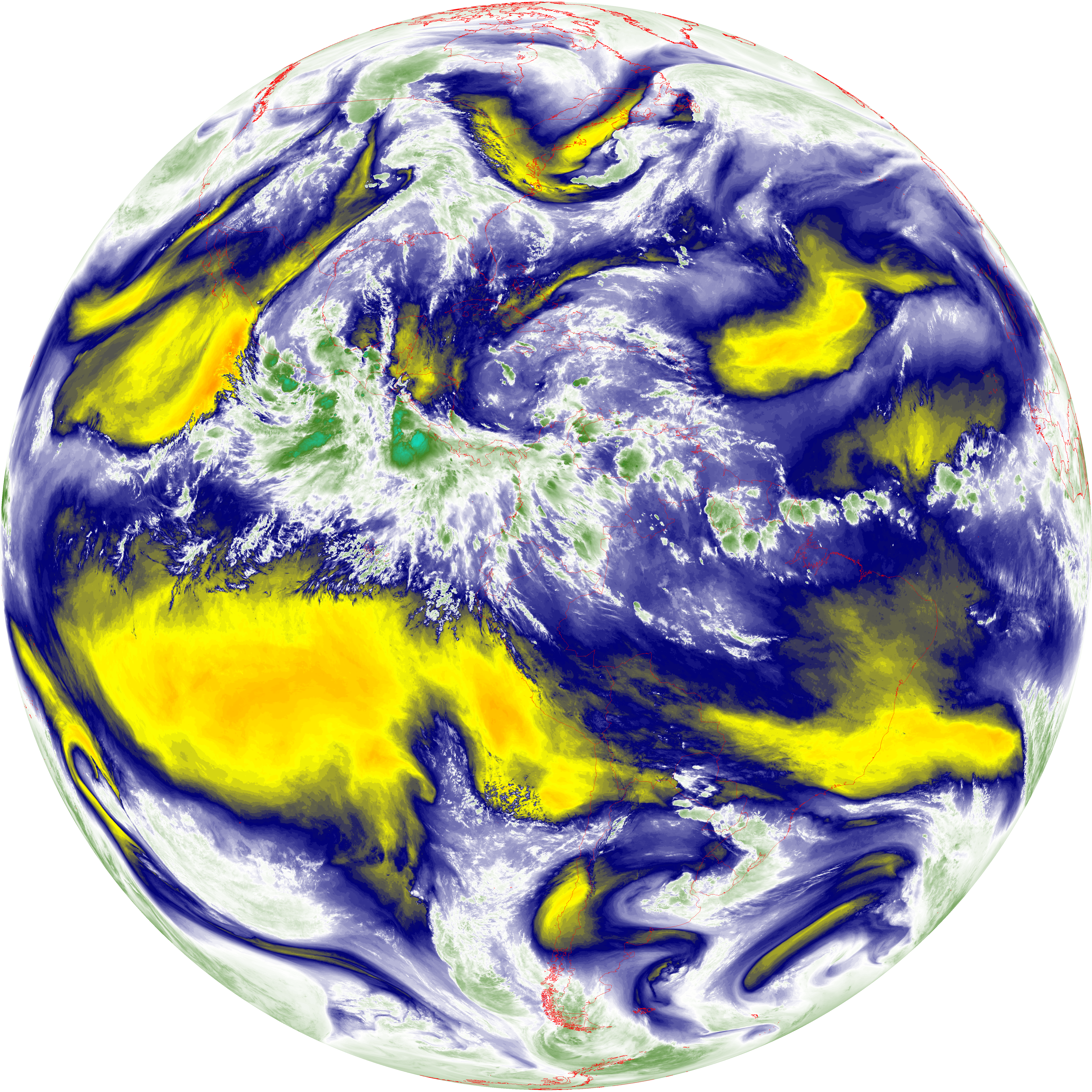
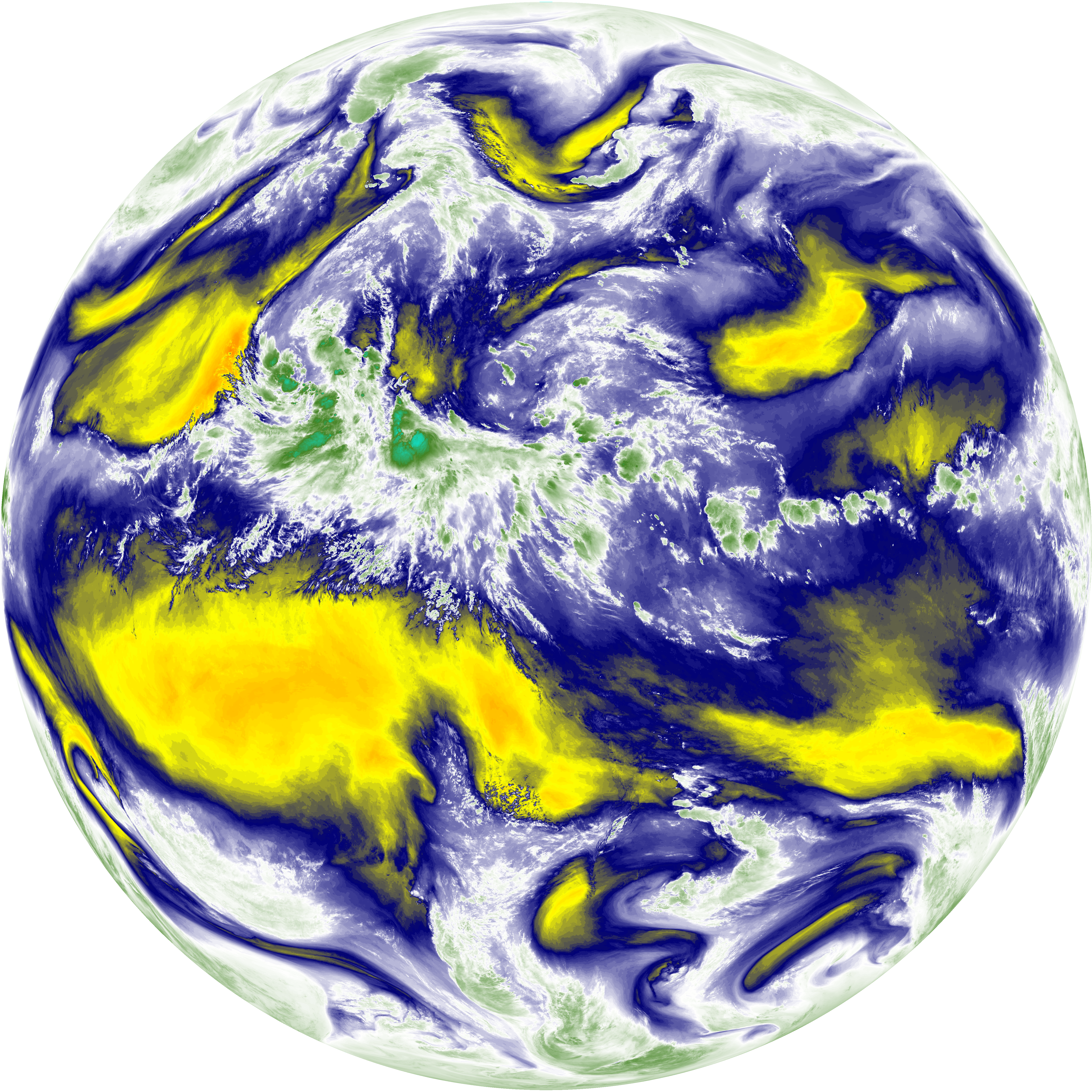
| abi_rgb_Mid-level_Tropospheric_Water_Vapor_map.png | 8631691 | 2026-Jun-08 06:20 |
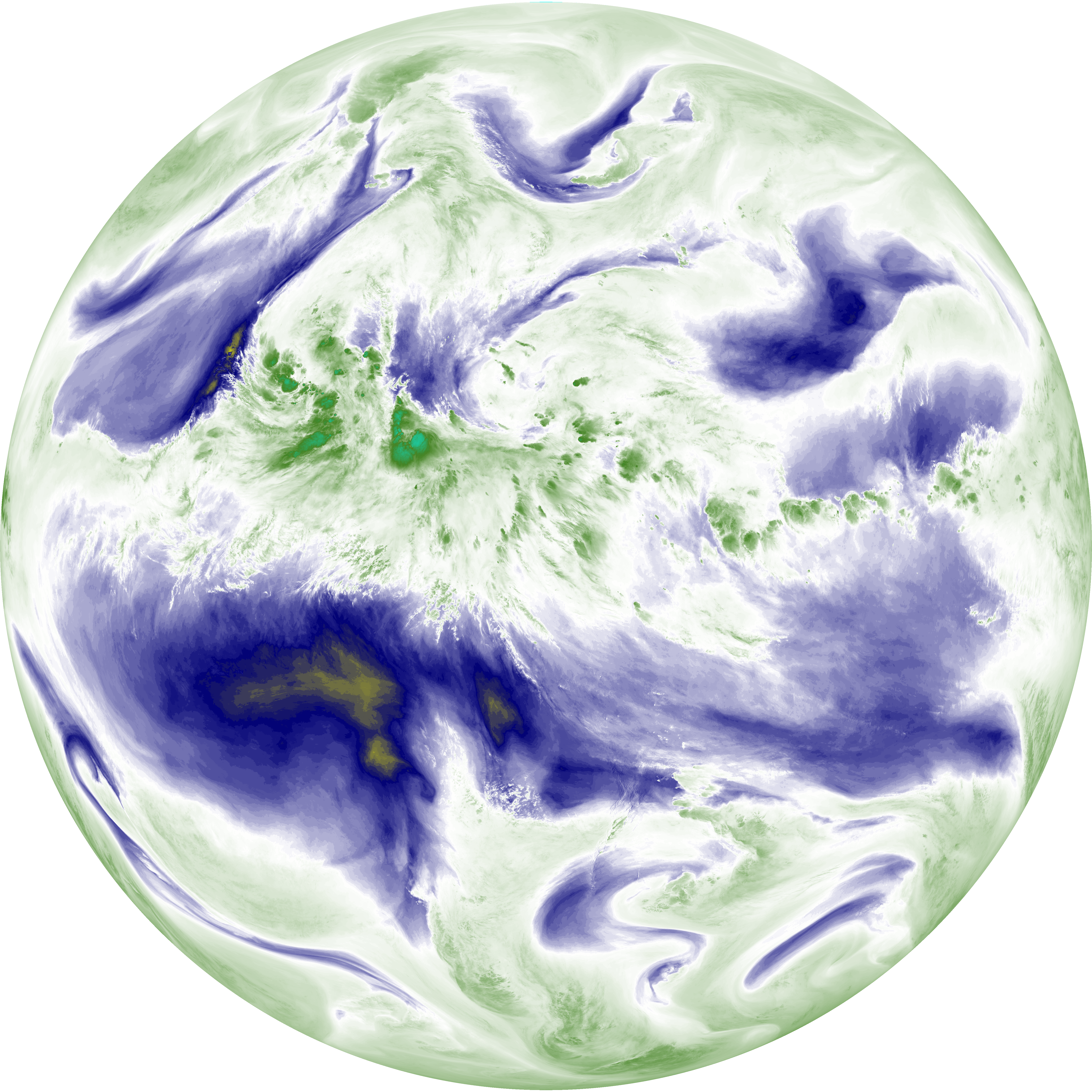
| abi_rgb_Mid-level_Tropospheric_Water_Vapor.png | 8529764 | 2026-Jun-08 06:20 |
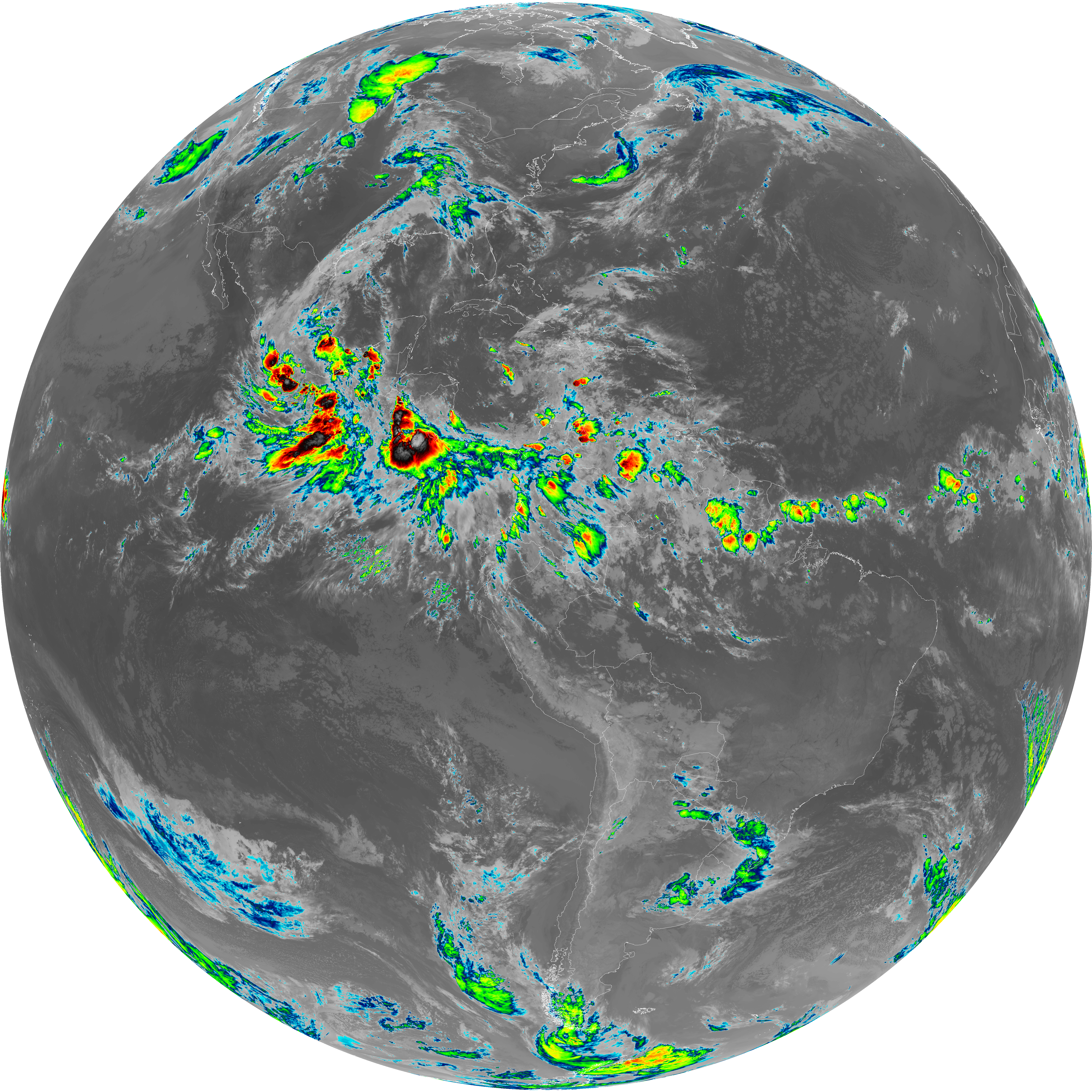
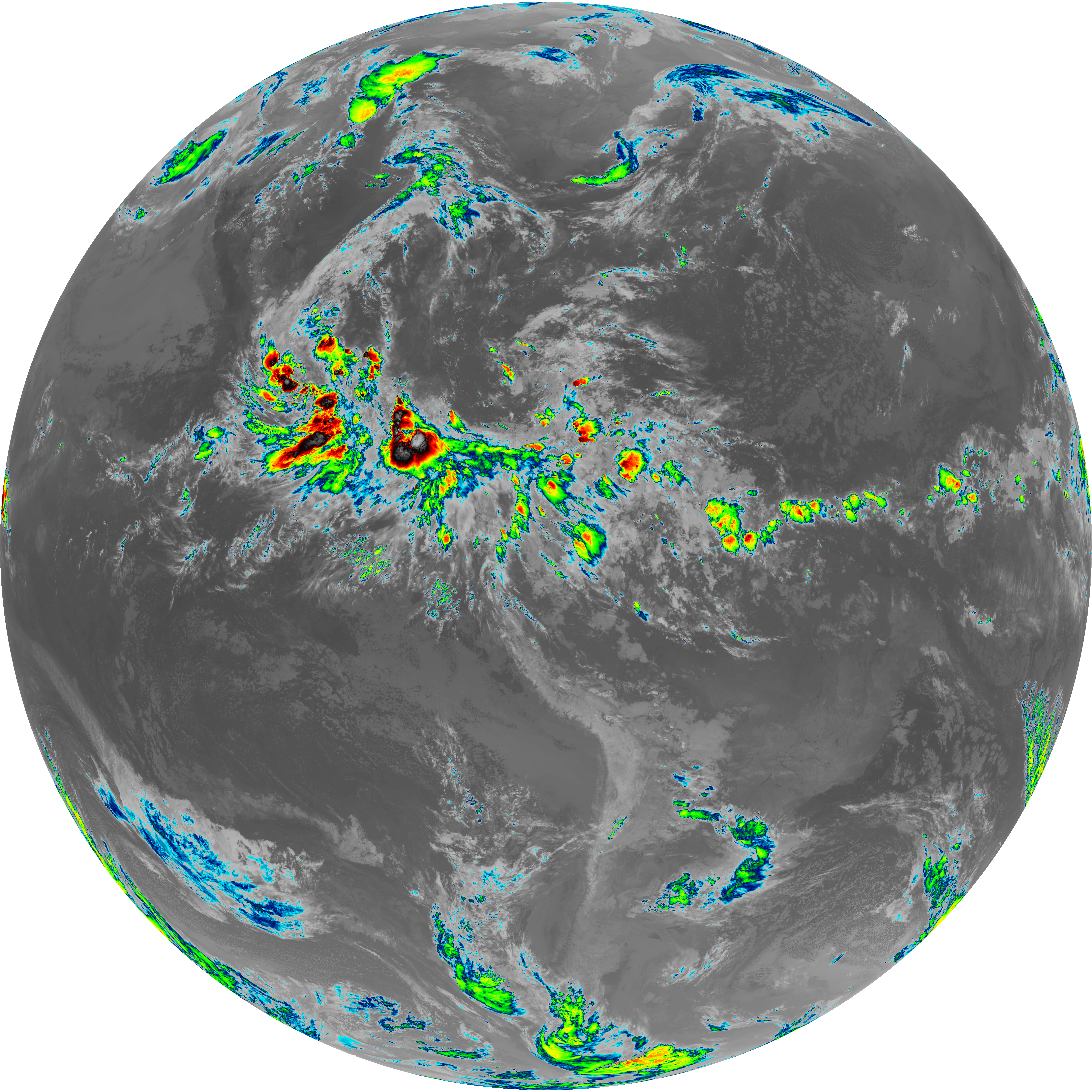
| abi_rgb_Infrared_Longwave_Window_Band_map.png | 13869522 | 2026-Jun-08 06:23 |
| abi_rgb_Infrared_Longwave_Window_Band.png | 13824109 | 2026-Jun-08 06:23 |
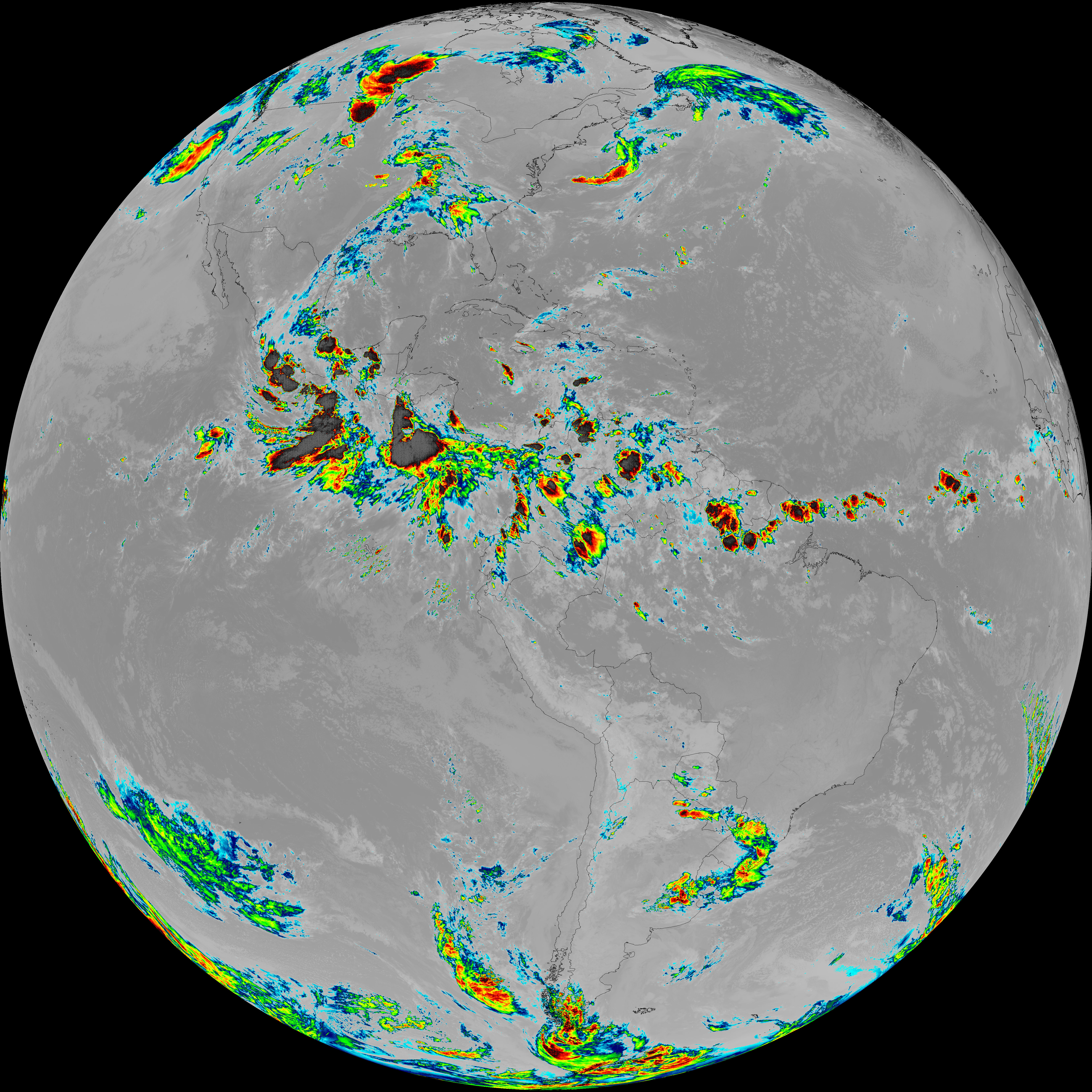
| abi_rgb_Dirty_Longwave_Window_map.png | 13551208 | 2026-Jun-08 06:26 |
| abi_rgb_Dirty_Longwave_Window_-_CIRA_map.png | 11860082 | 2026-Jun-08 06:27 |
| abi_rgb_Dirty_Longwave_Window_-_CIRA.png | 11797920 | 2026-Jun-08 06:26 |
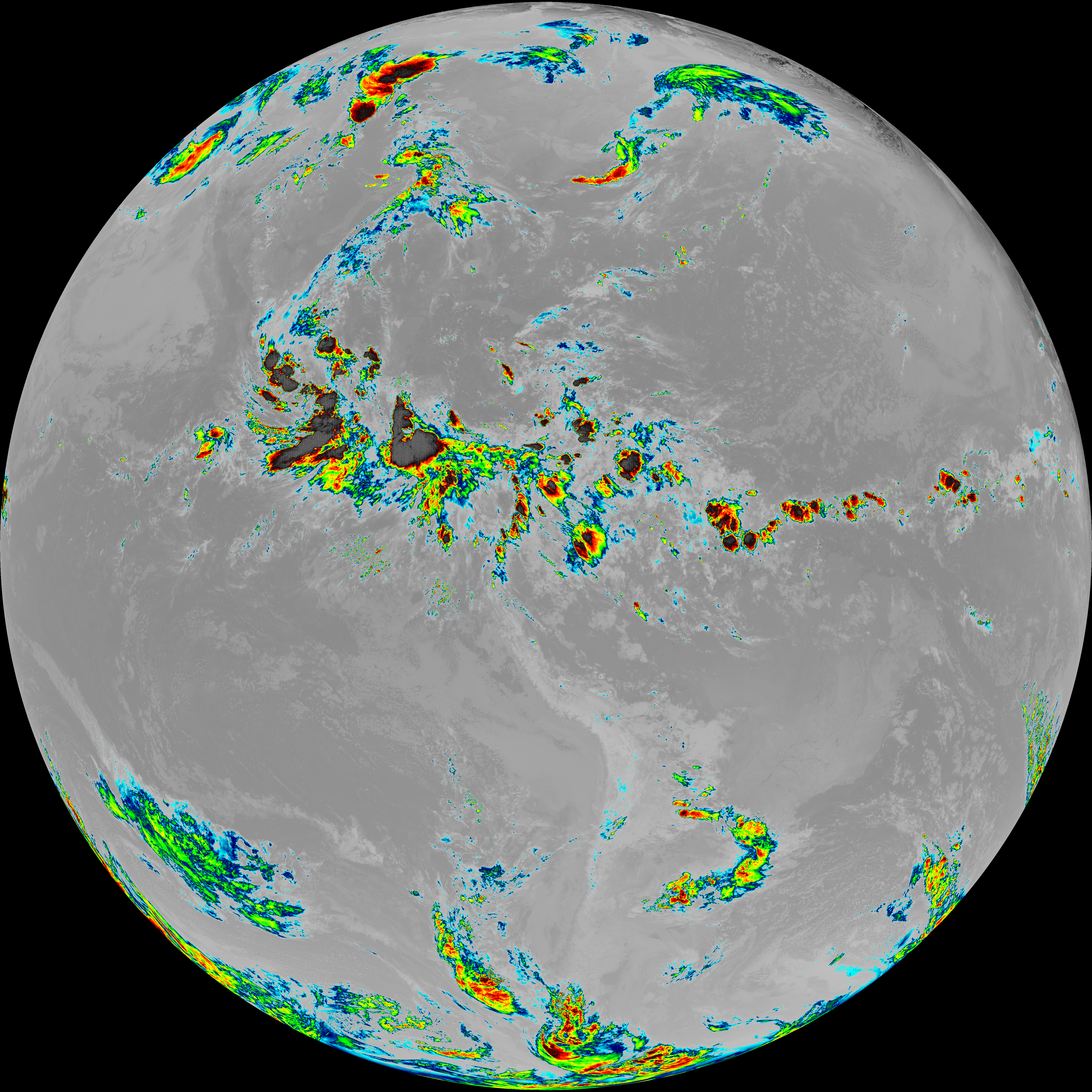
| abi_rgb_Dirty_Longwave_Window.png | 13501602 | 2026-Jun-08 06:26 |
| abi_rgb_Clean_Longwave_IR_Window_Band_map.png | 13712066 | 2026-Jun-08 06:16 |
| abi_rgb_Clean_Longwave_IR_Window_Band.png | 13666569 | 2026-Jun-08 06:16 |
| G19_9_20260608T060021Z.png | 6324592 | 2026-Jun-08 06:20 |
| G19_8_20260608T060021Z.png | 5473019 | 2026-Jun-08 06:18 |
| G19_7_20260608T060021Z.png | 11100142 | 2026-Jun-08 06:13 |
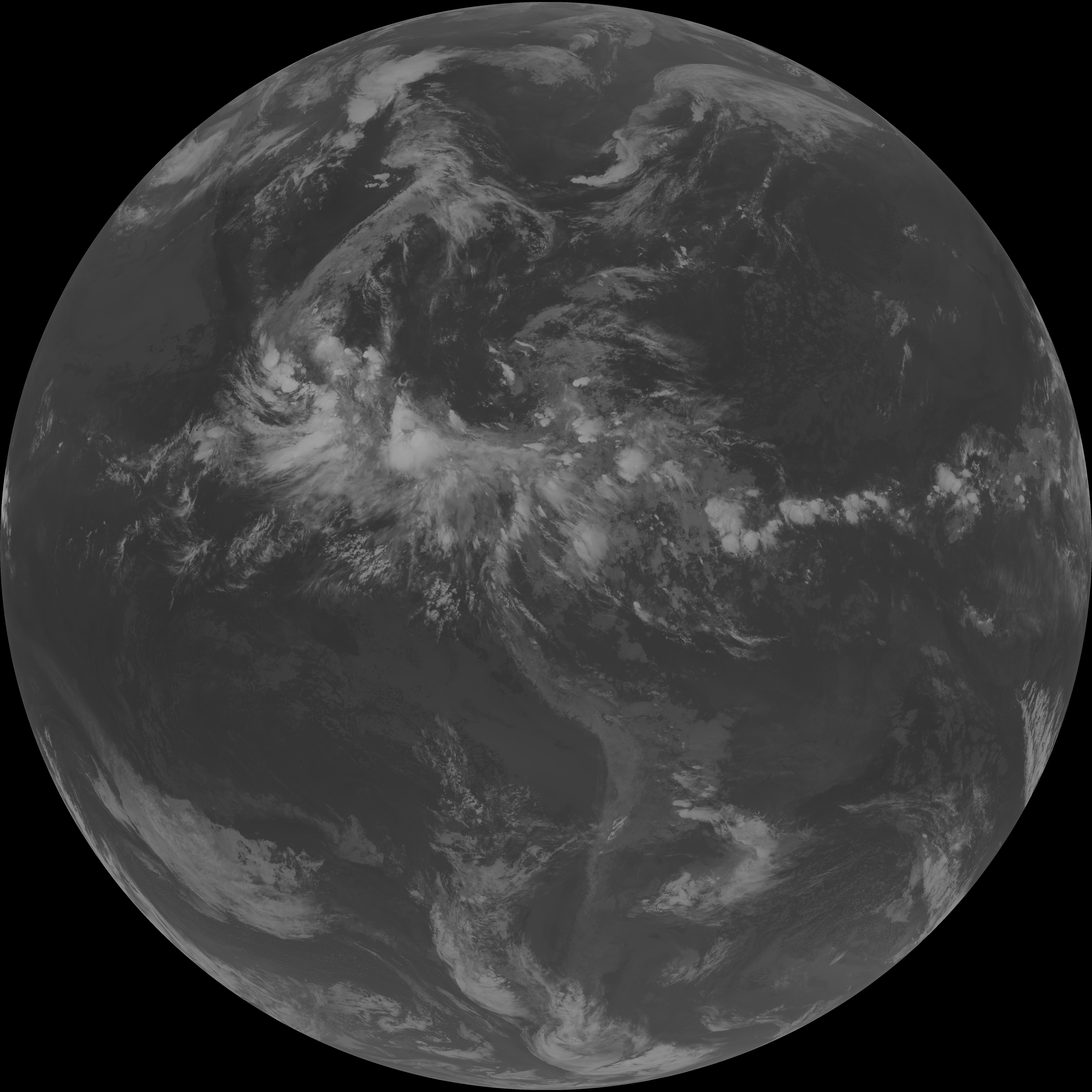
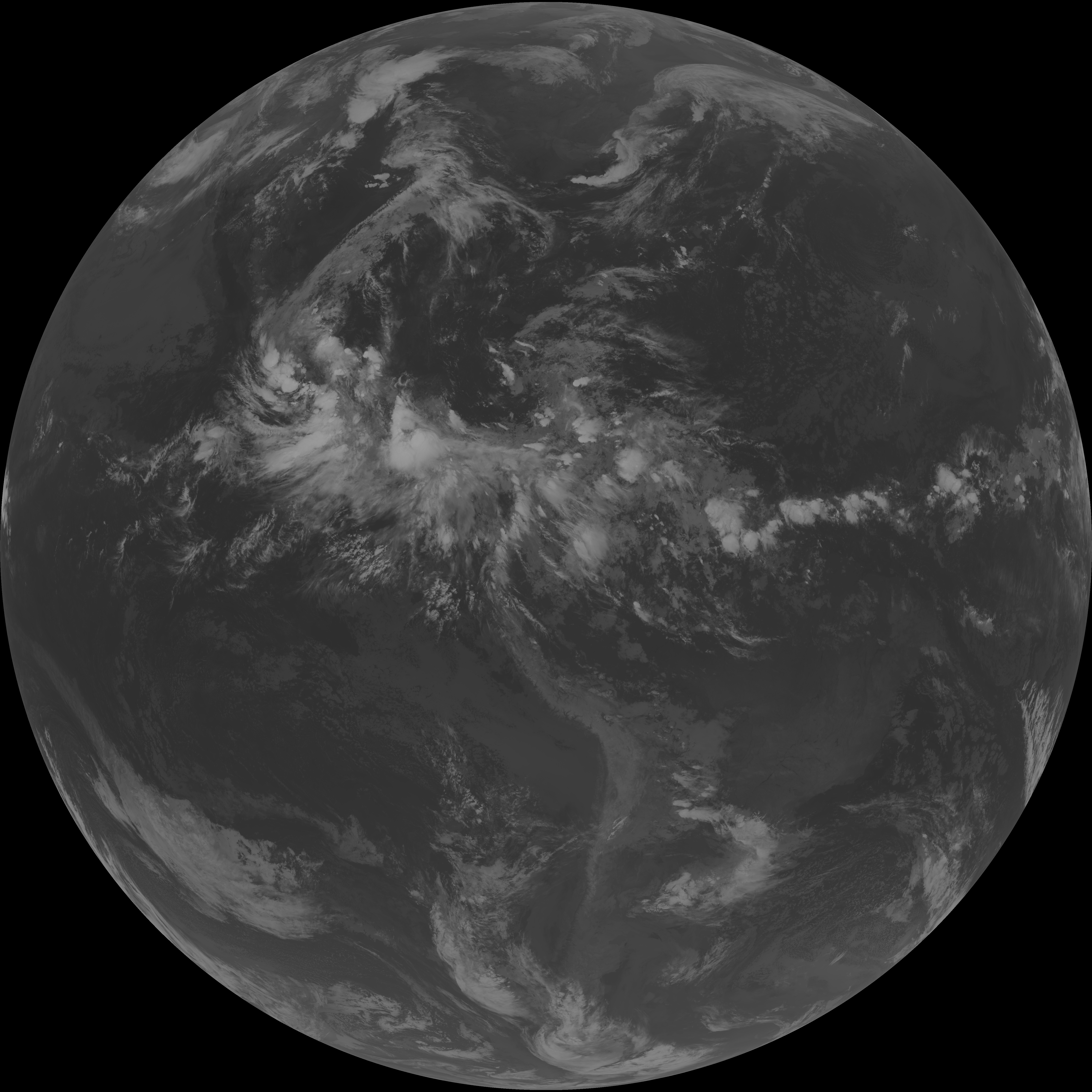
| G19_2_20260608T060021Z.png | 628755 | 2026-Jun-08 06:16 |
| G19_15_20260608T060021Z.png | 10045484 | 2026-Jun-08 06:26 |
| G19_14_20260608T060021Z.png | 10316867 | 2026-Jun-08 06:23 |
| G19_13_20260608T060021Z.png | 10175764 | 2026-Jun-08 06:16 |