| Parent directory/ | - | - |
| G19_13_20260608T063021Z.png | 10181621 | 2026-Jun-08 06:46 |
| G19_14_20260608T063021Z.png | 10321882 | 2026-Jun-08 06:53 |
| G19_15_20260608T063021Z.png | 10045475 | 2026-Jun-08 06:56 |
| G19_2_20260608T063021Z.png | 935220 | 2026-Jun-08 06:46 |
| G19_7_20260608T063021Z.png | 11192924 | 2026-Jun-08 06:43 |
| G19_8_20260608T063021Z.png | 5464794 | 2026-Jun-08 06:48 |
| G19_9_20260608T063021Z.png | 6319498 | 2026-Jun-08 06:50 |
| abi_rgb_Clean_Longwave_IR_Window_Band.png | 13675432 | 2026-Jun-08 06:46 |
| abi_rgb_Clean_Longwave_IR_Window_Band_map.png | 13719975 | 2026-Jun-08 06:46 |
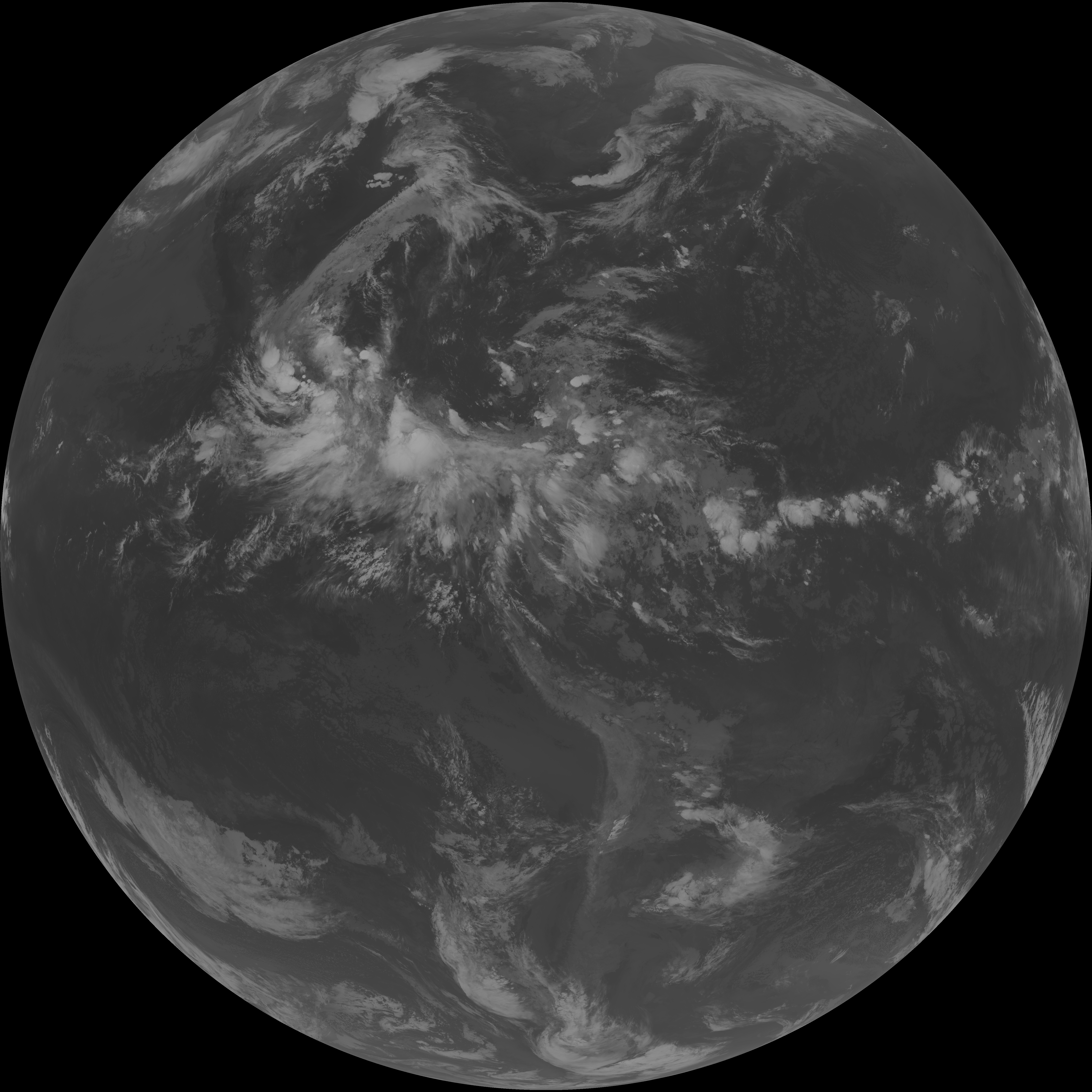
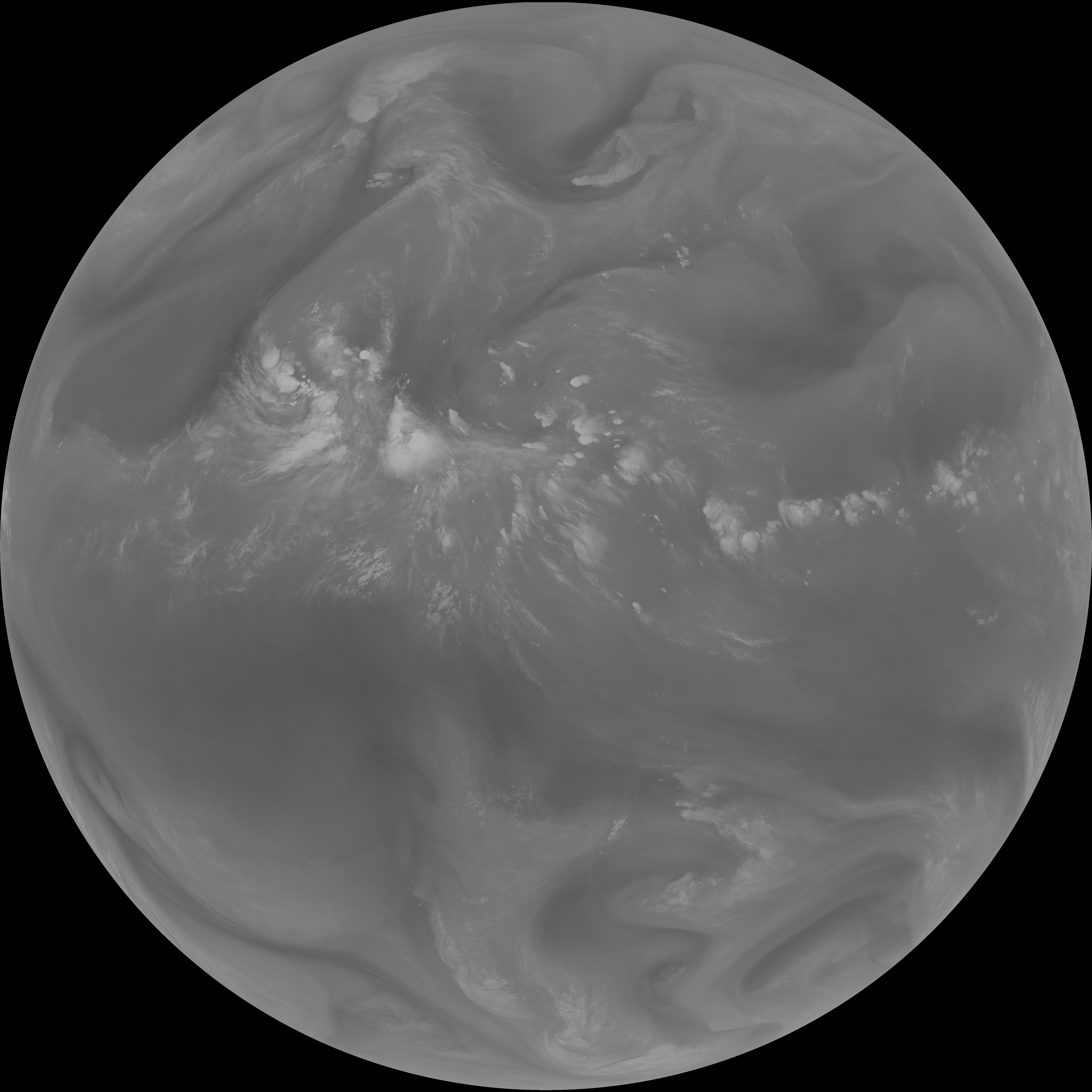
| abi_rgb_Dirty_Longwave_Window.png | 13506518 | 2026-Jun-08 06:56 |
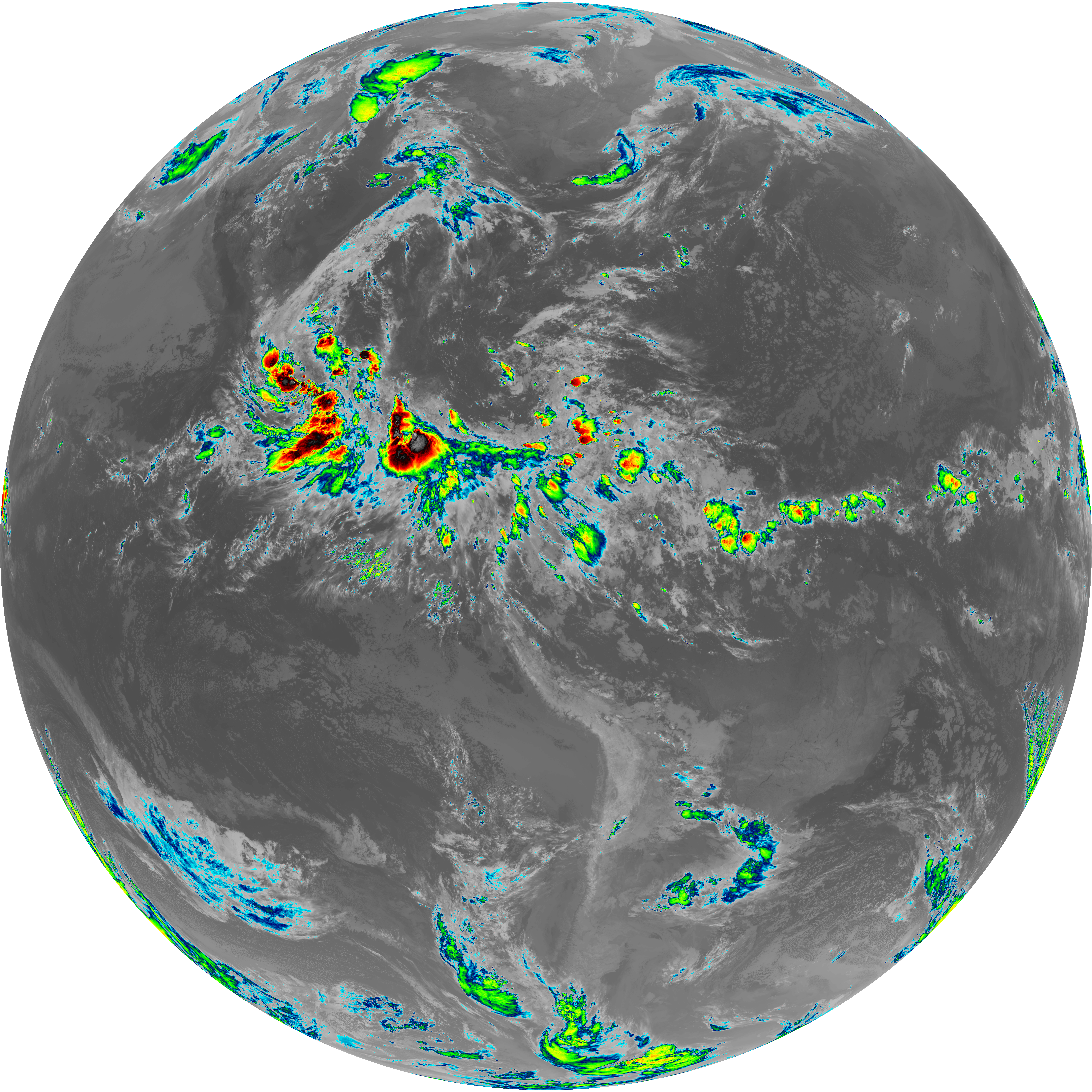
| abi_rgb_Dirty_Longwave_Window_-_CIRA.png | 11803467 | 2026-Jun-08 06:56 |
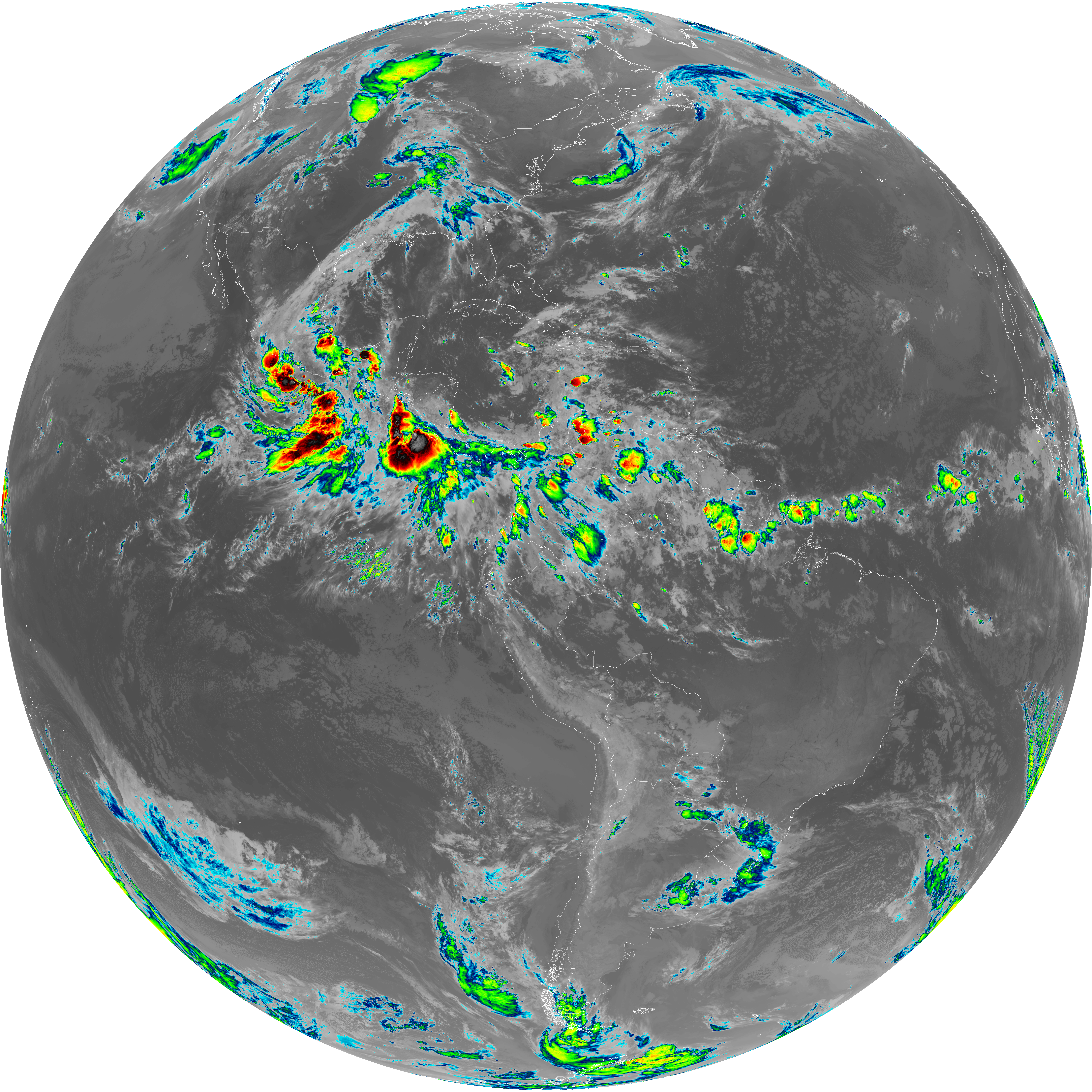
| abi_rgb_Dirty_Longwave_Window_-_CIRA_map.png | 11865413 | 2026-Jun-08 06:57 |
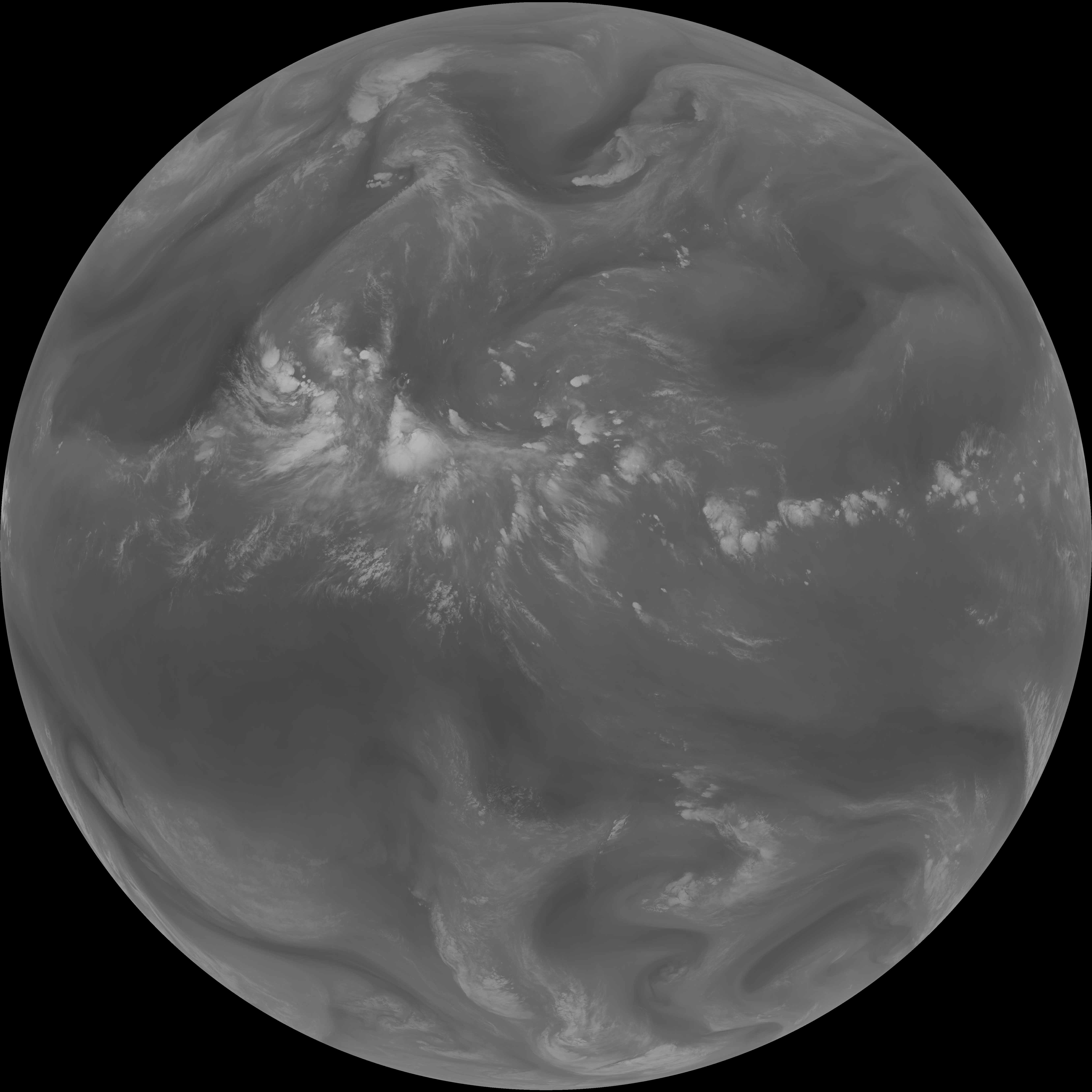
| abi_rgb_Dirty_Longwave_Window_map.png | 13555017 | 2026-Jun-08 06:56 |
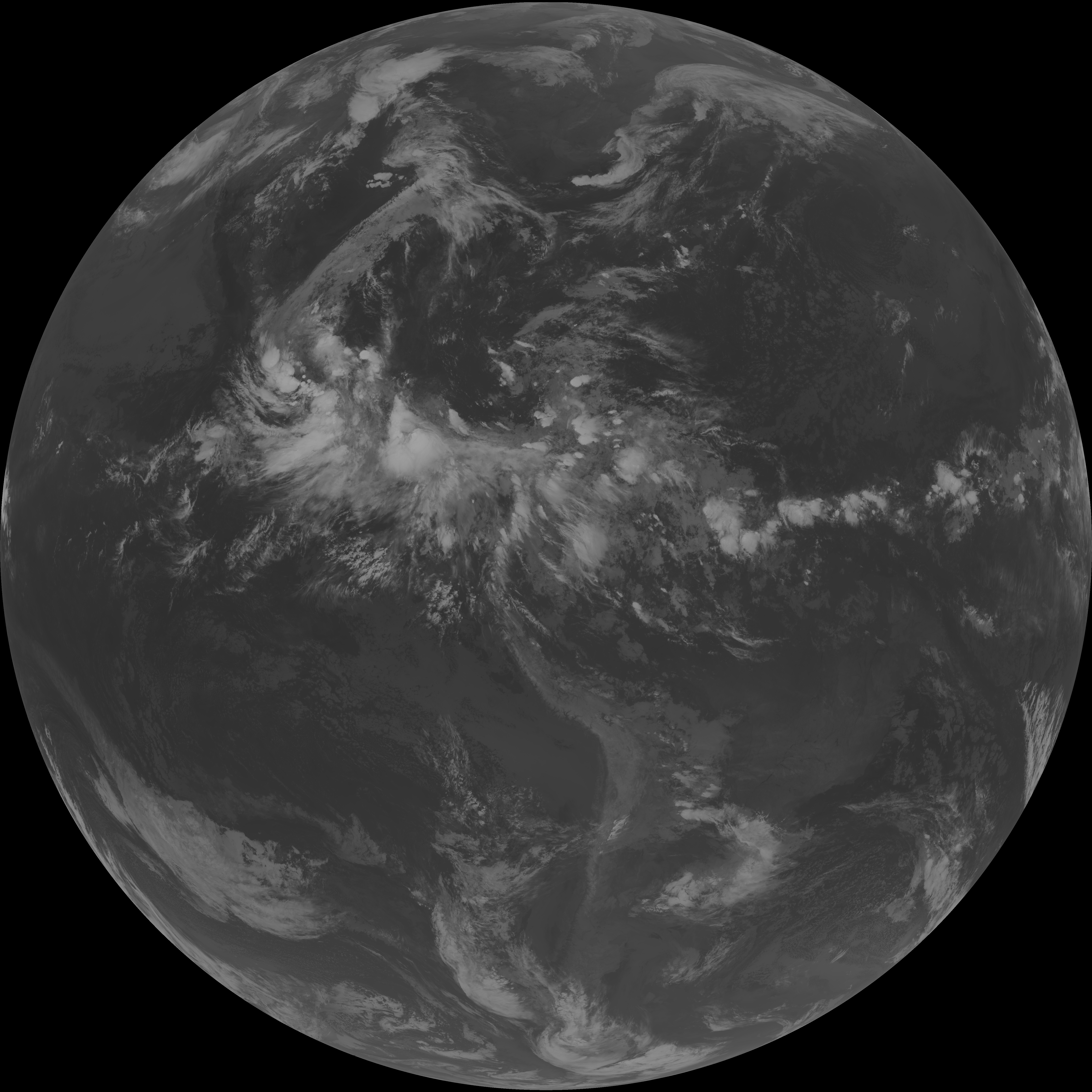
| abi_rgb_Infrared_Longwave_Window_Band.png | 13835399 | 2026-Jun-08 06:53 |
| abi_rgb_Infrared_Longwave_Window_Band_map.png | 13879925 | 2026-Jun-08 06:53 |
| abi_rgb_Mid-level_Tropospheric_Water_Vapor.png | 8523909 | 2026-Jun-08 06:50 |
| abi_rgb_Mid-level_Tropospheric_Water_Vapor_map.png | 8626729 | 2026-Jun-08 06:50 |
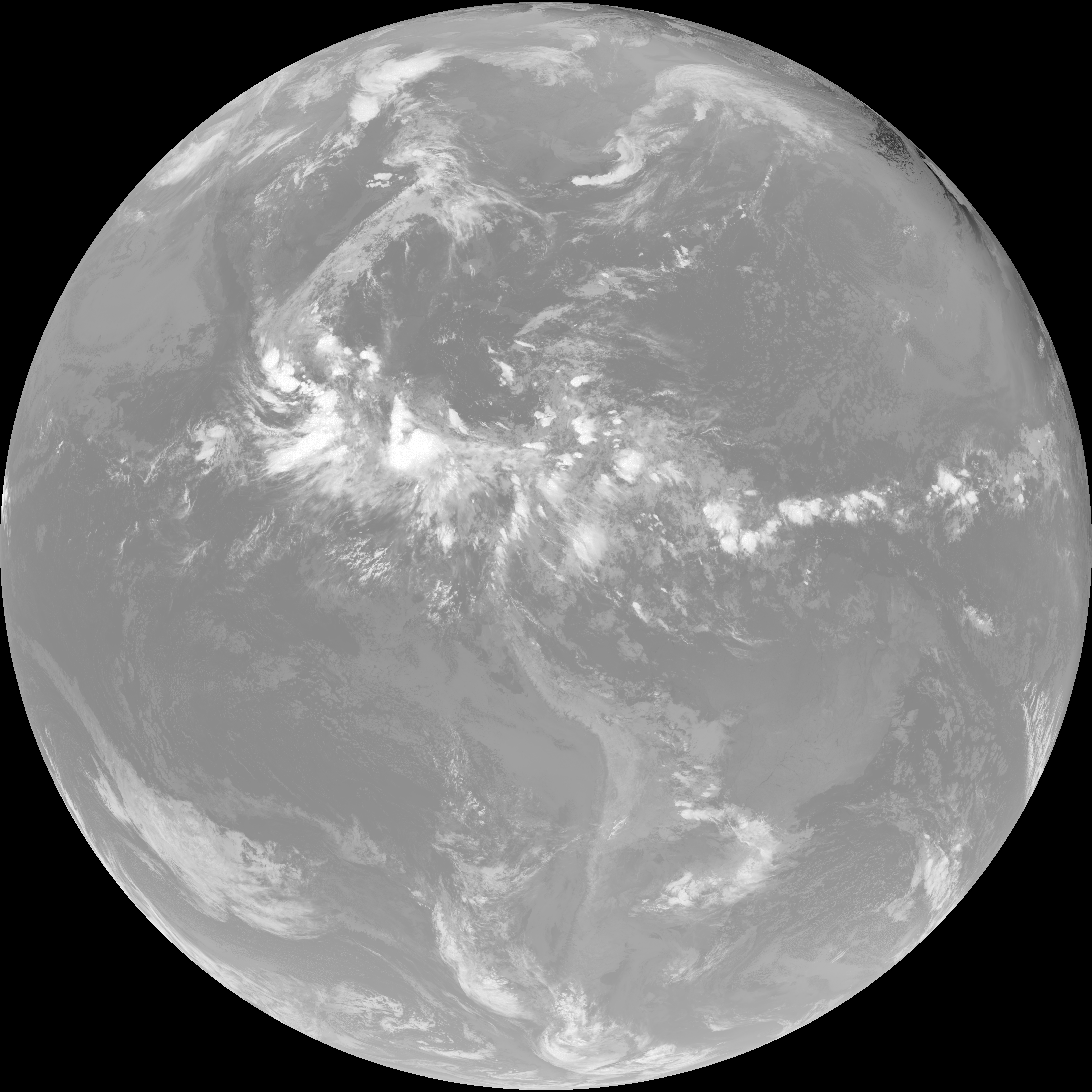
| abi_rgb_Shortwave_Window_Band.png | 15392362 | 2026-Jun-08 06:43 |
| abi_rgb_Shortwave_Window_Band_map.png | 15442214 | 2026-Jun-08 06:43 |
| abi_rgb_Upper-Level_Tropospheric_Water_Vapor.png | 7321806 | 2026-Jun-08 06:48 |
| abi_rgb_Upper-Level_Tropospheric_Water_Vapor_map.png | 7434220 | 2026-Jun-08 06:48 |