| Parent directory/ | - | - |
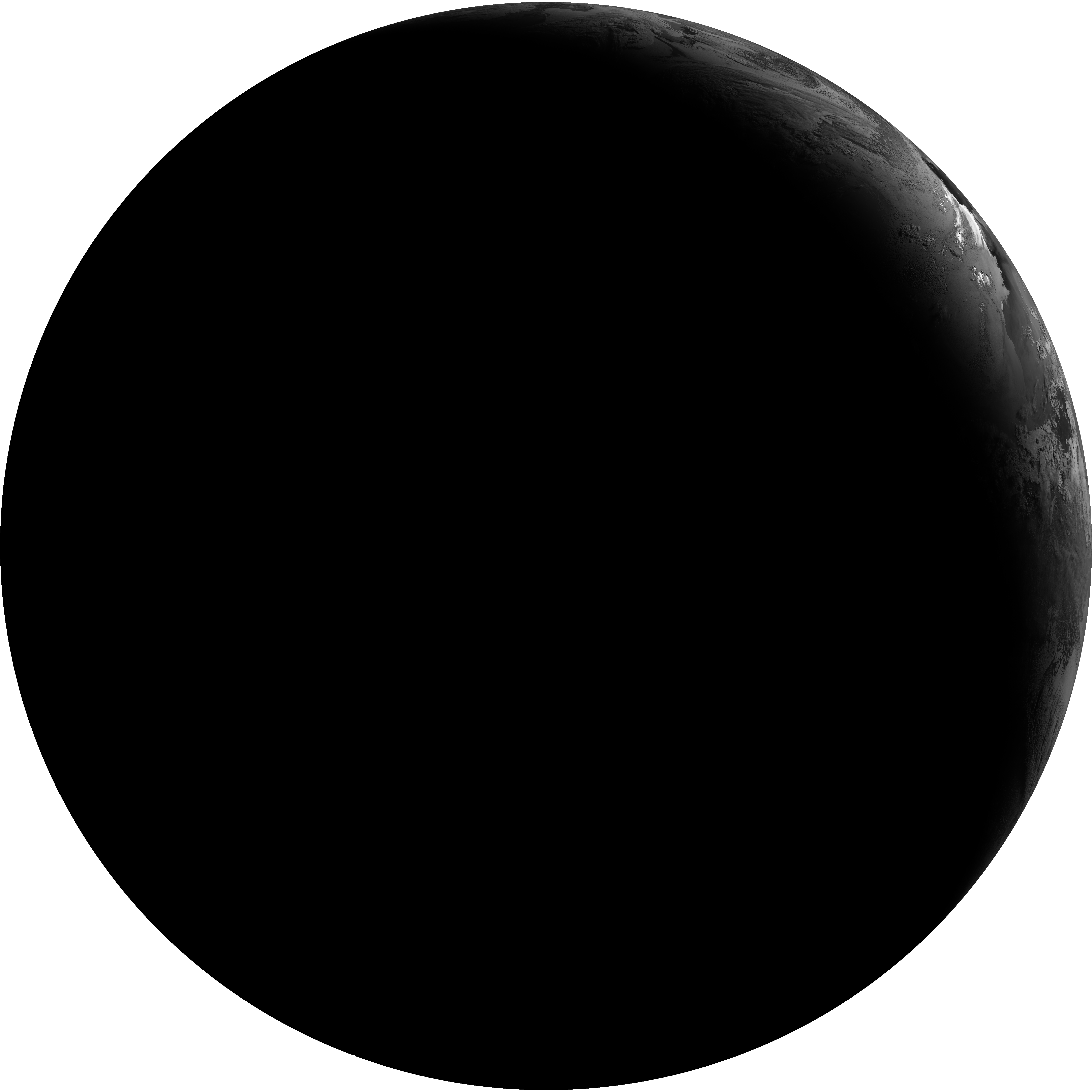
| G19_2_20260608T073021Z.png | 1890657 | 2026-Jun-08 07:46 |
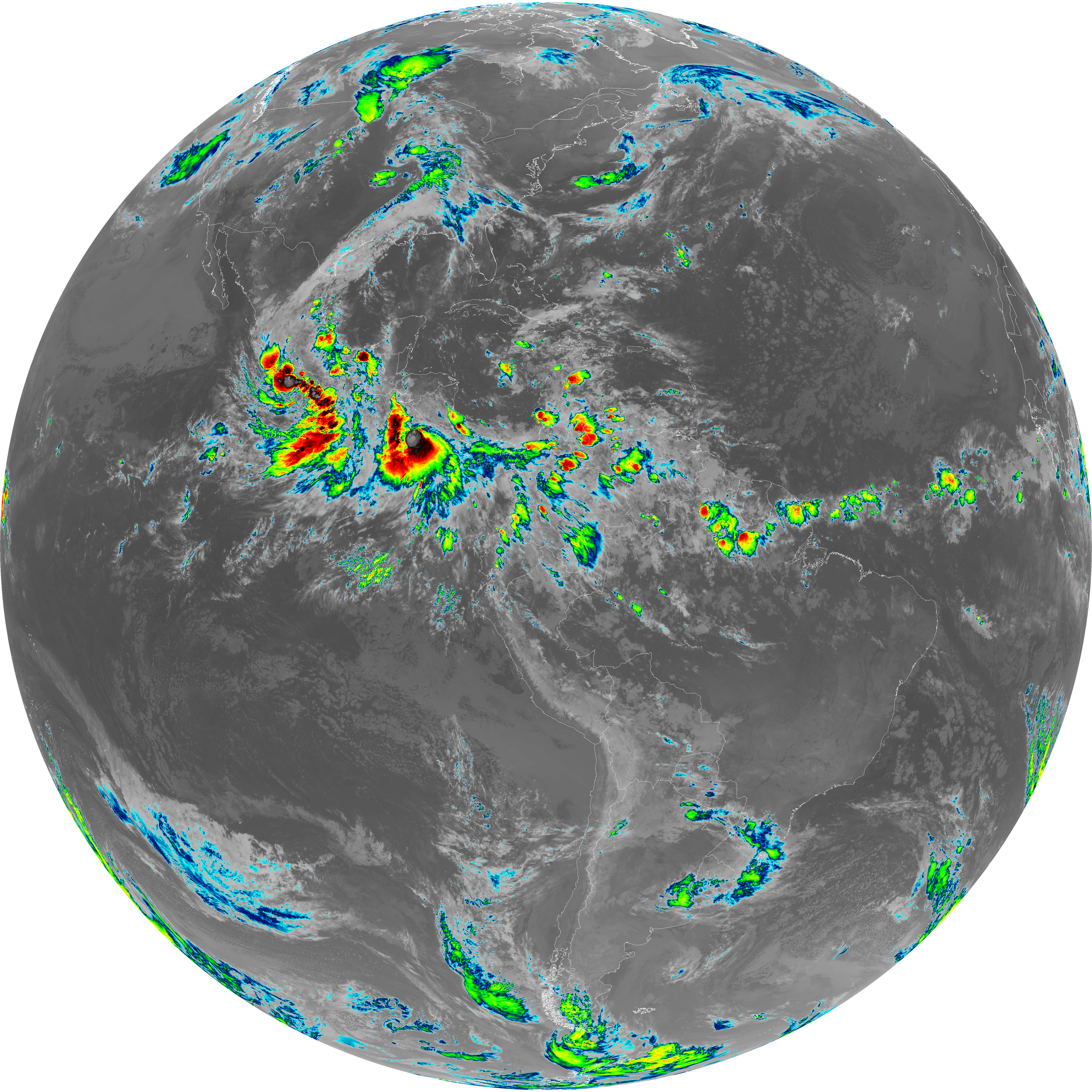
| G19_8_20260608T073021Z.png | 5460983 | 2026-Jun-08 07:48 |
| G19_9_20260608T073021Z.png | 6311886 | 2026-Jun-08 07:50 |
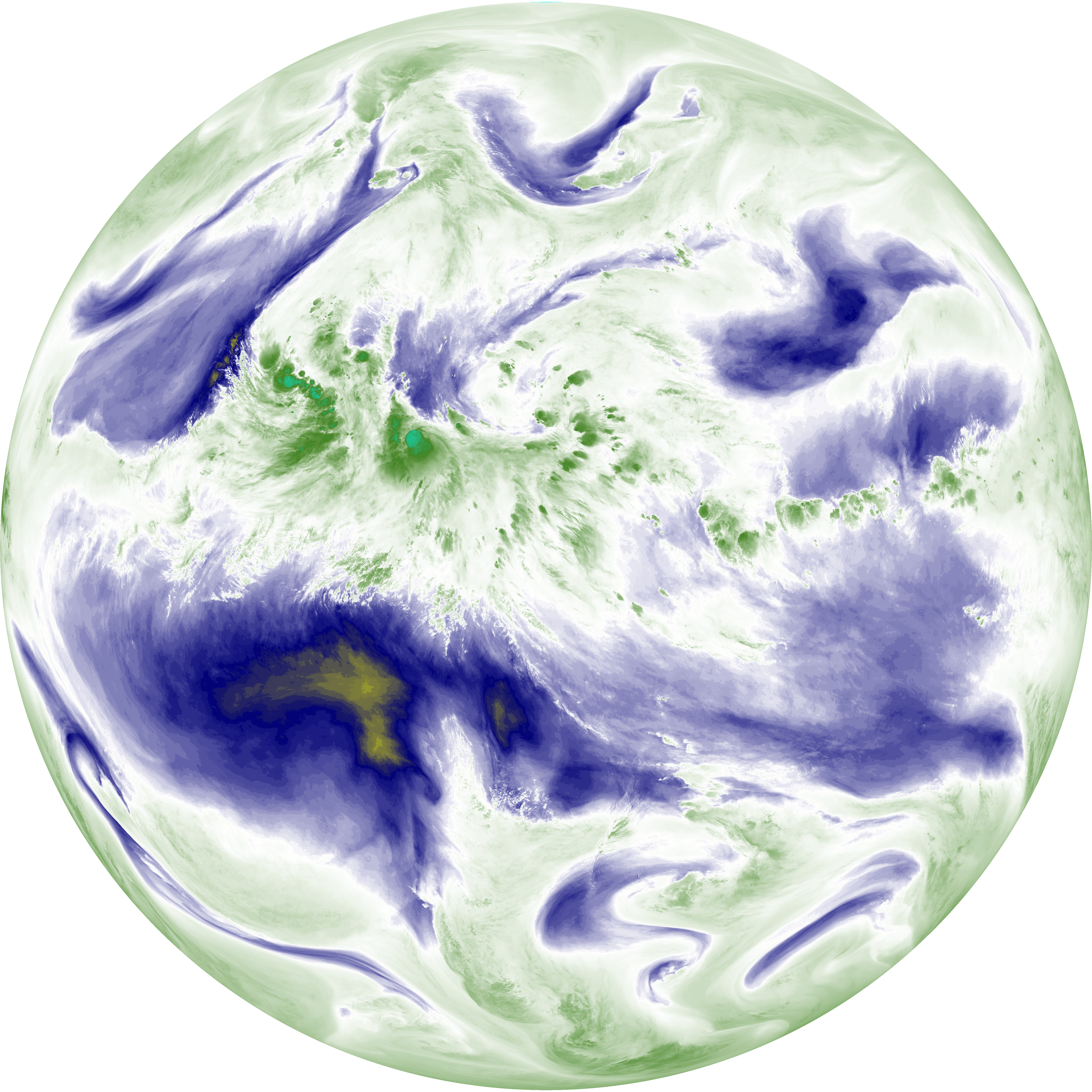
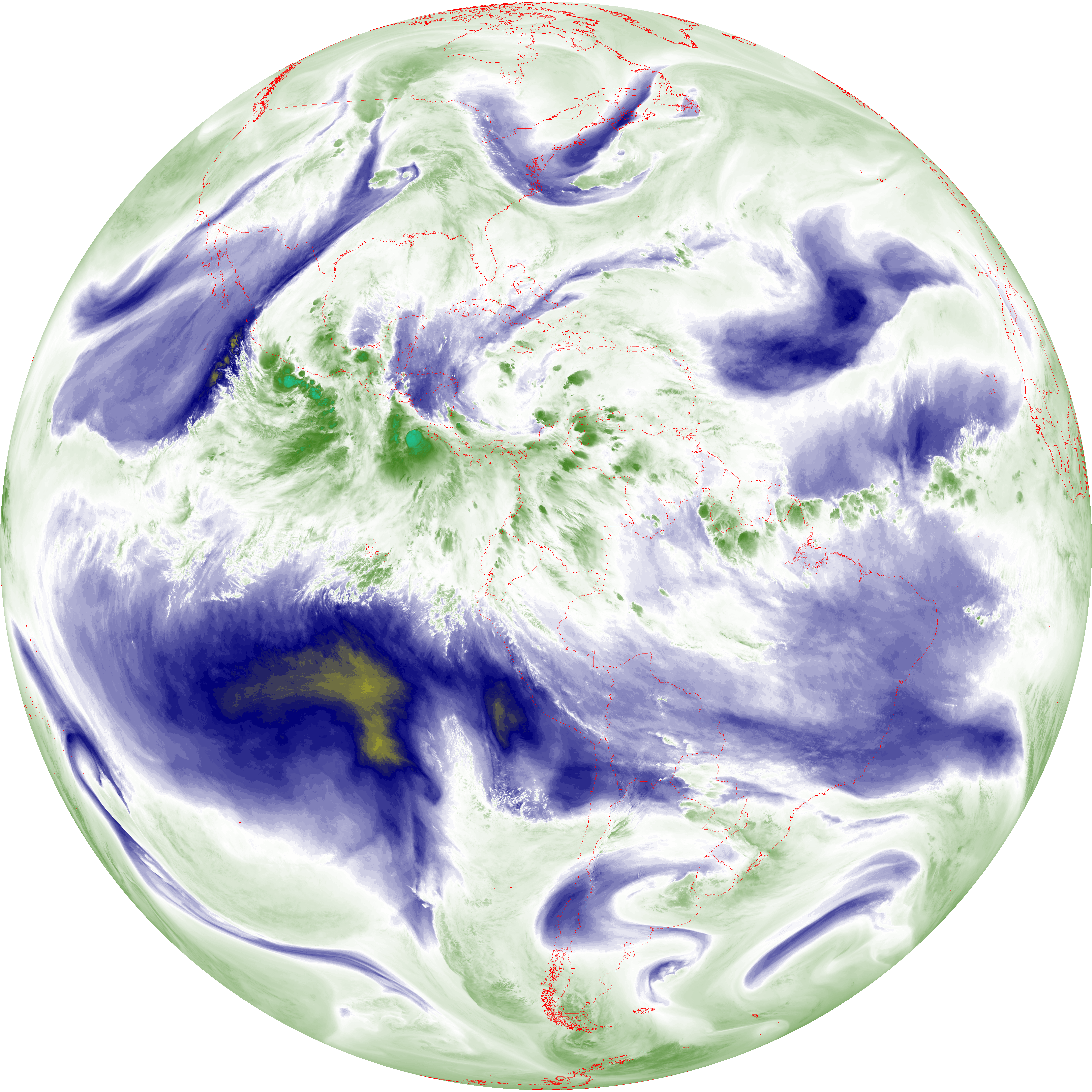
| abi_rgb_Upper-Level_Tropospheric_Water_Vapor.png | 7313464 | 2026-Jun-08 07:48 |
| abi_rgb_Upper-Level_Tropospheric_Water_Vapor_map.png | 7427173 | 2026-Jun-08 07:48 |
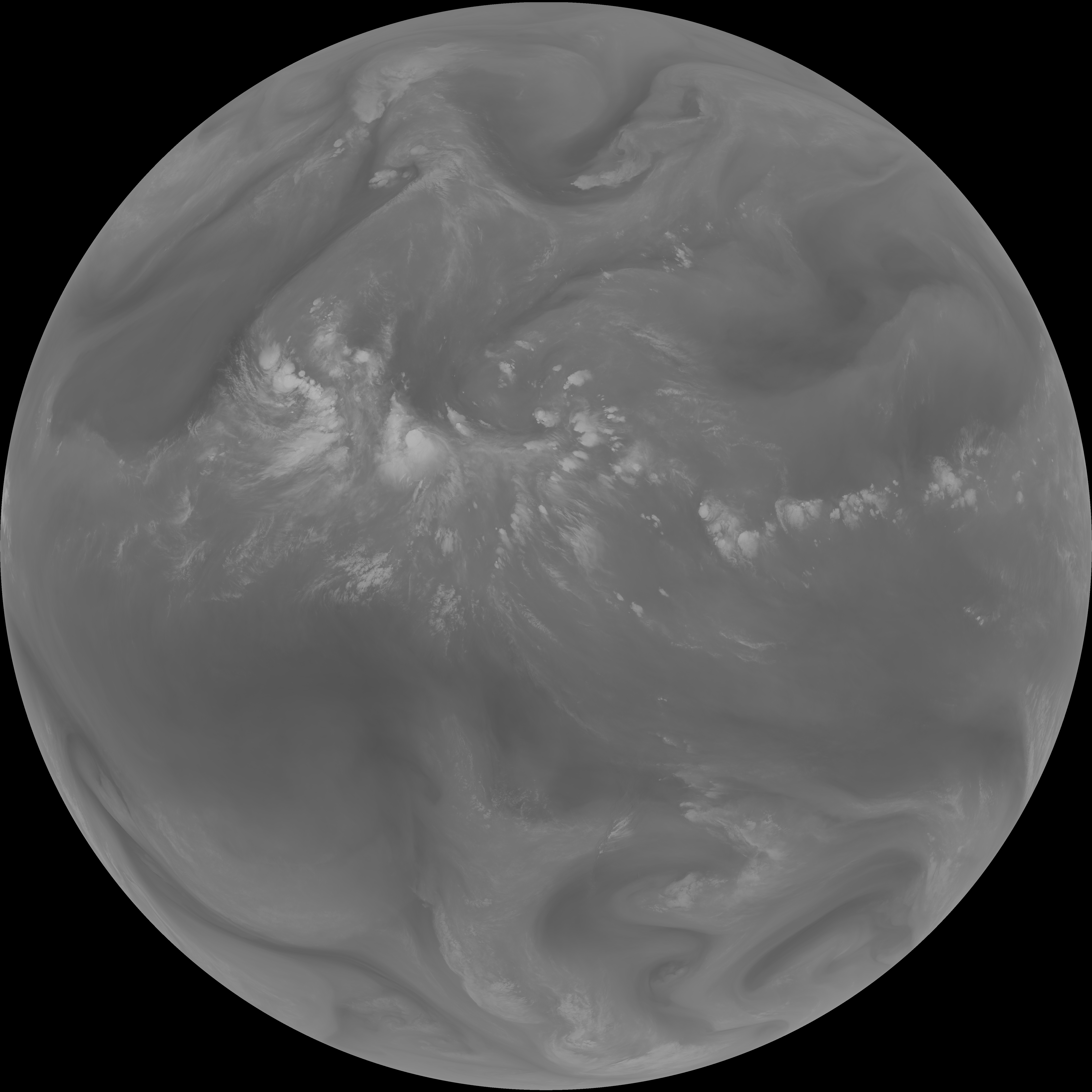
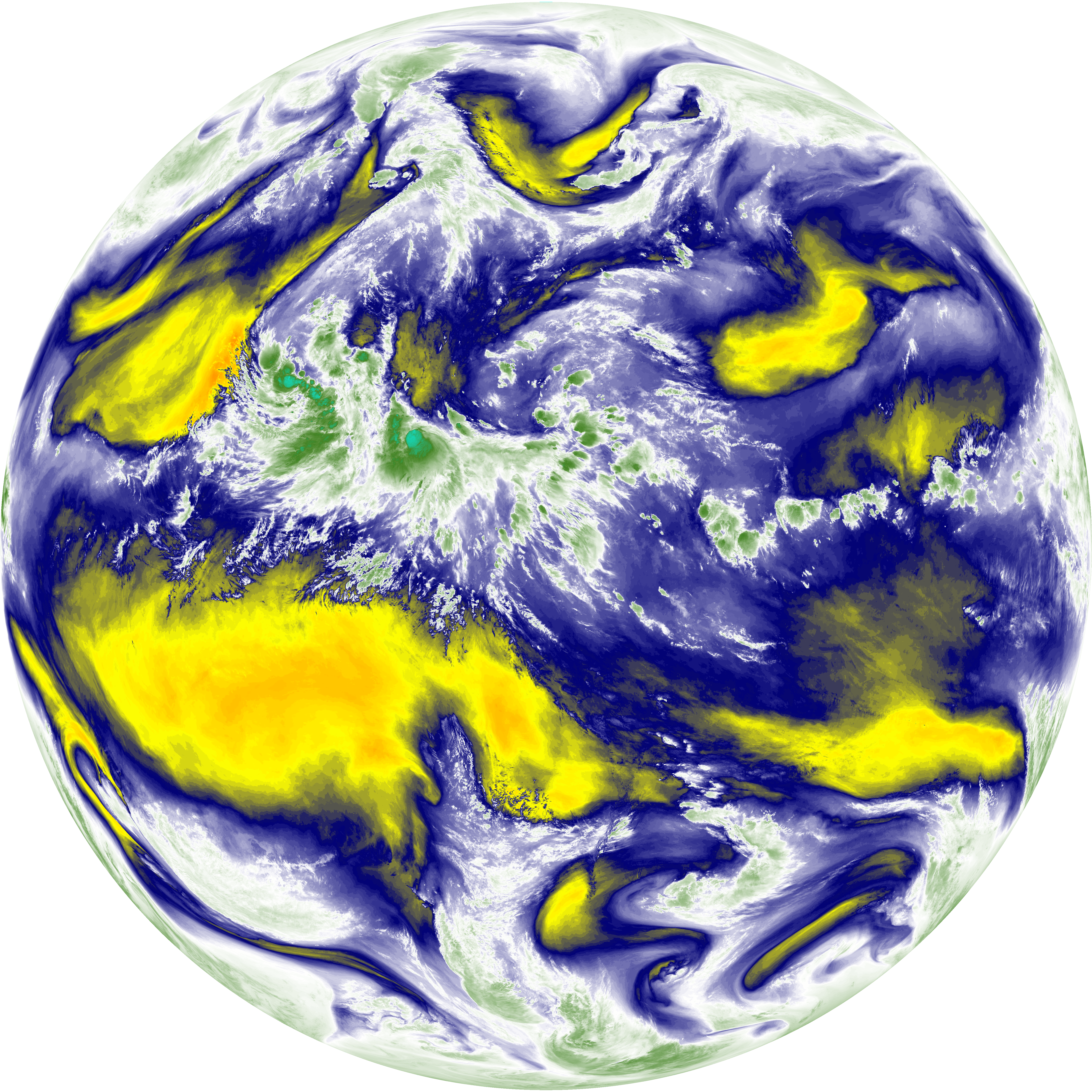
| abi_rgb_Mid-level_Tropospheric_Water_Vapor.png | 8513633 | 2026-Jun-08 07:50 |
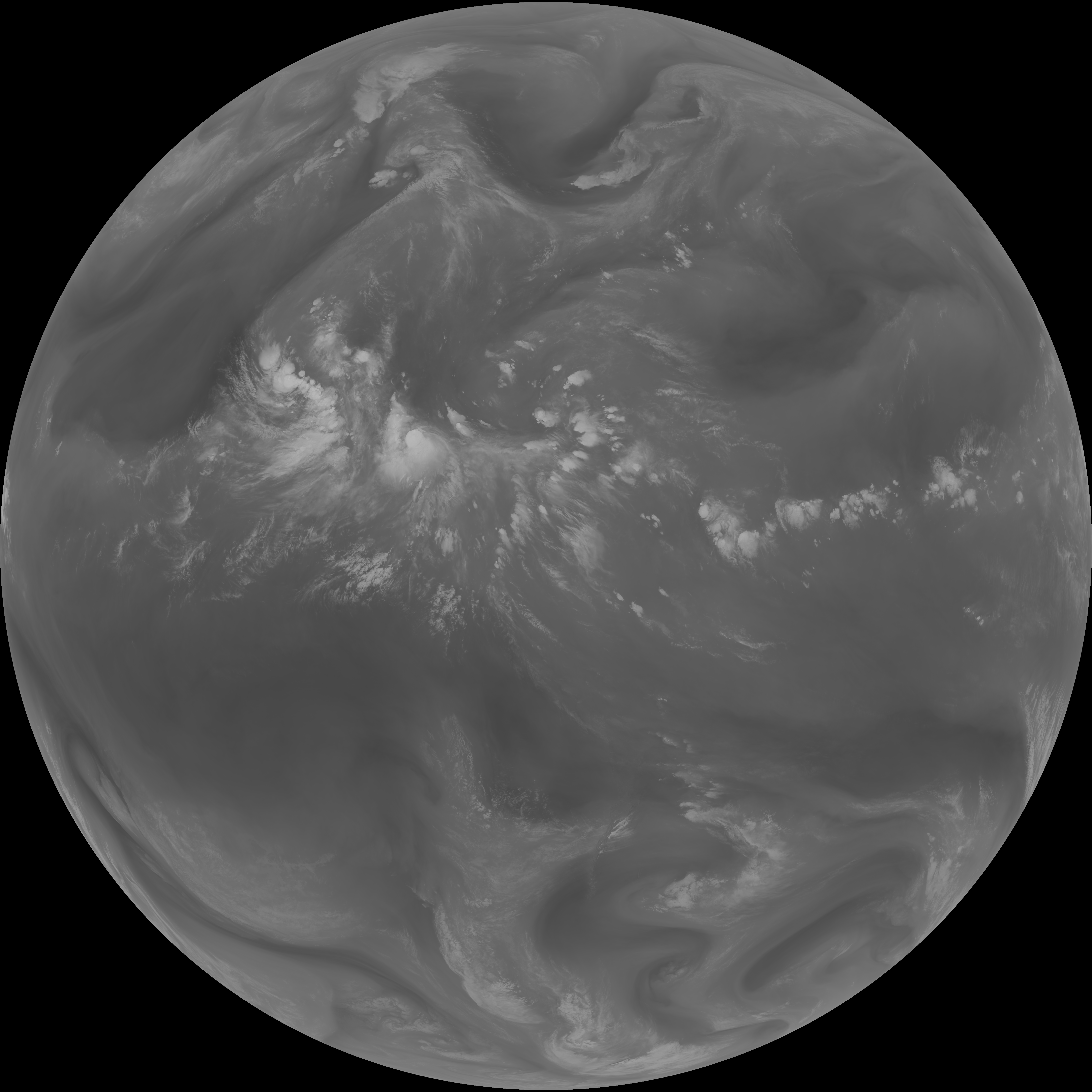
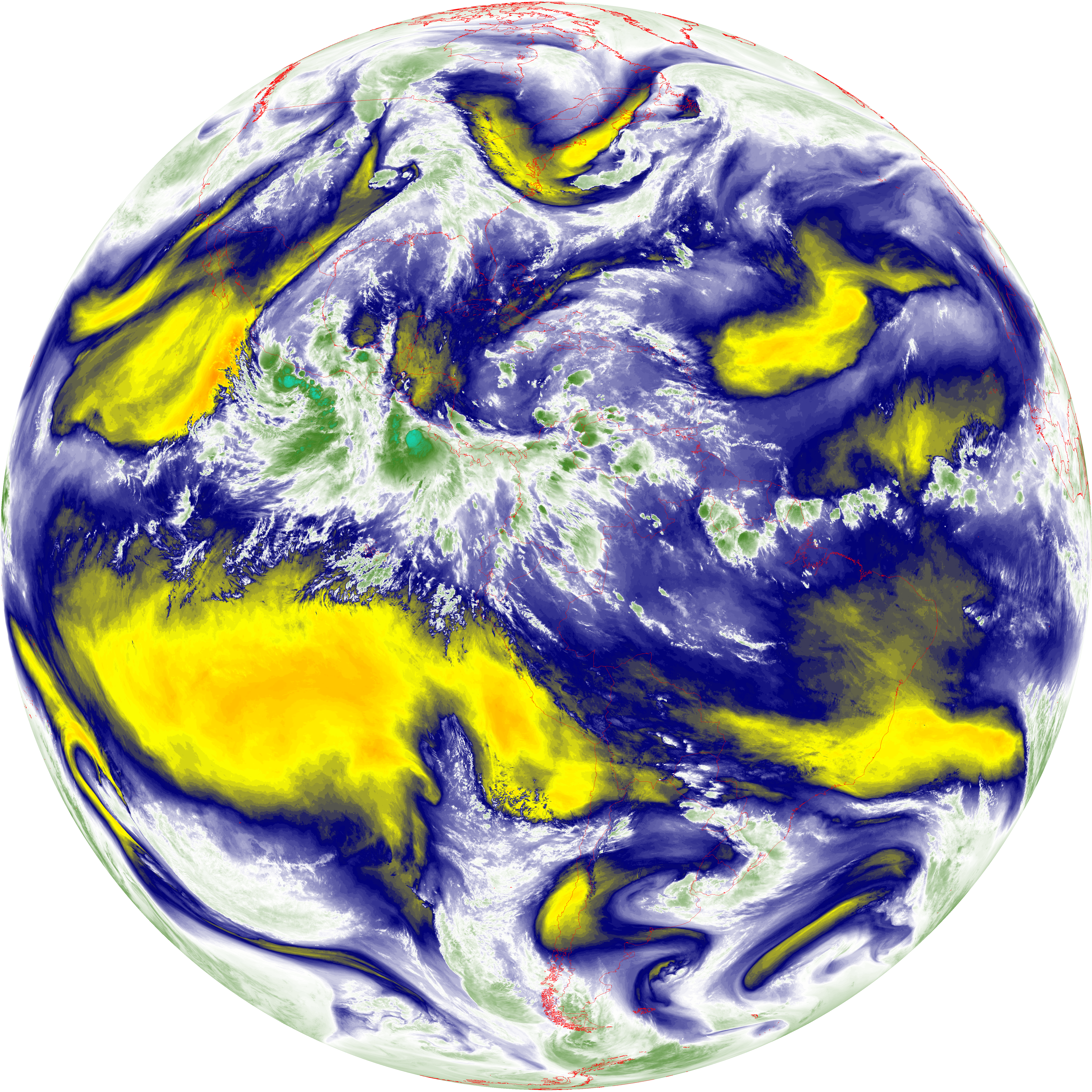
| abi_rgb_Mid-level_Tropospheric_Water_Vapor_map.png | 8619046 | 2026-Jun-08 07:50 |
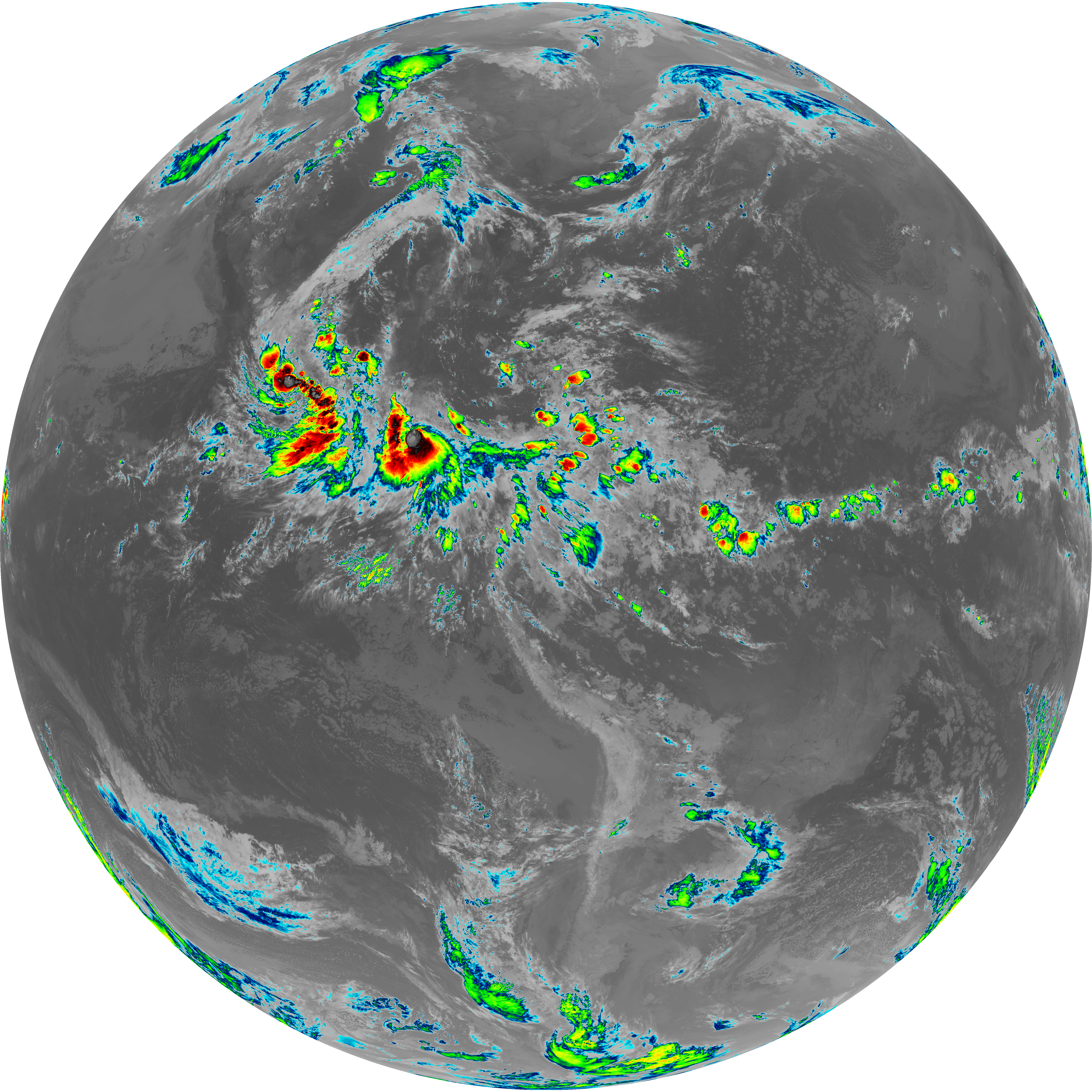
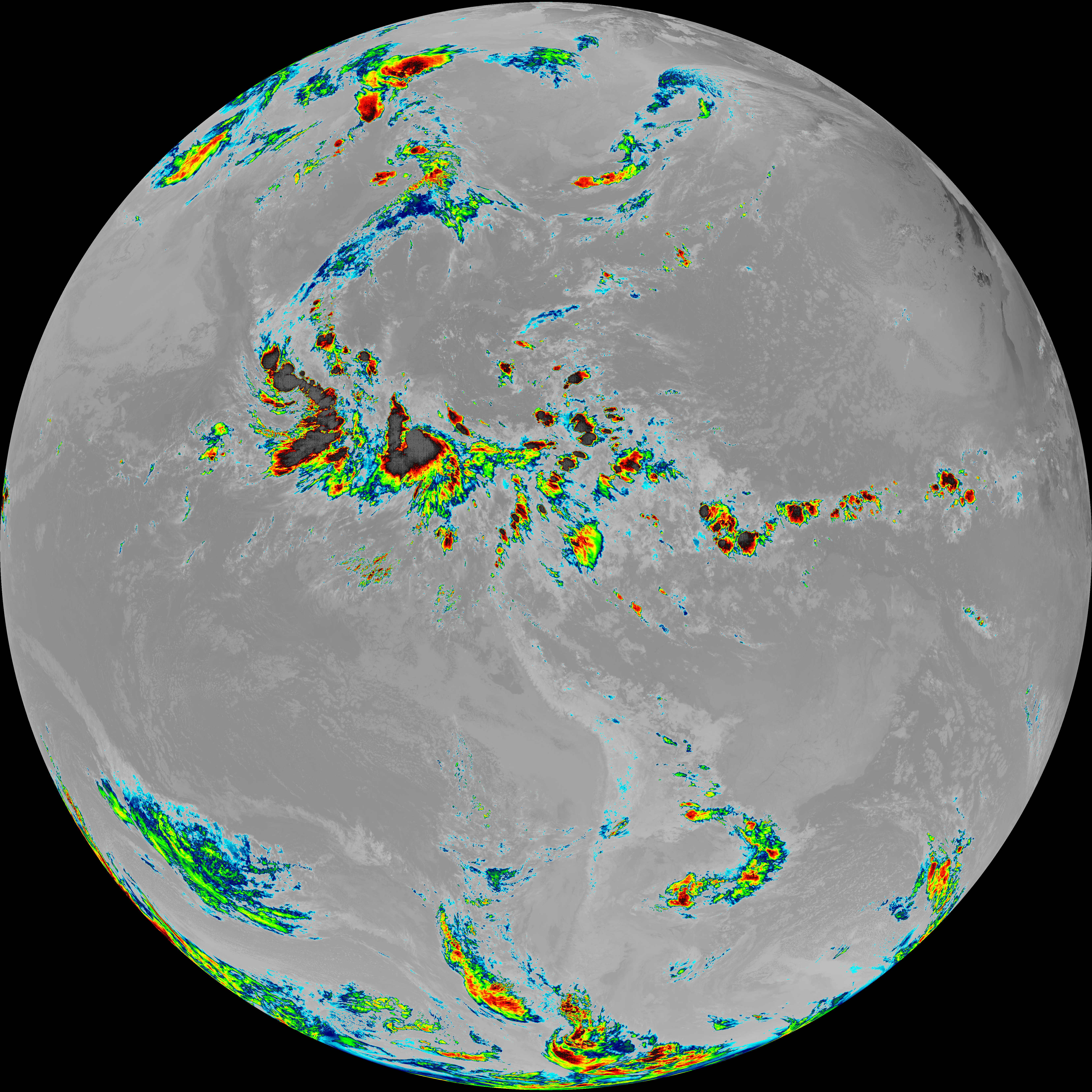
| G19_15_20260608T073021Z.png | 10038554 | 2026-Jun-08 07:56 |
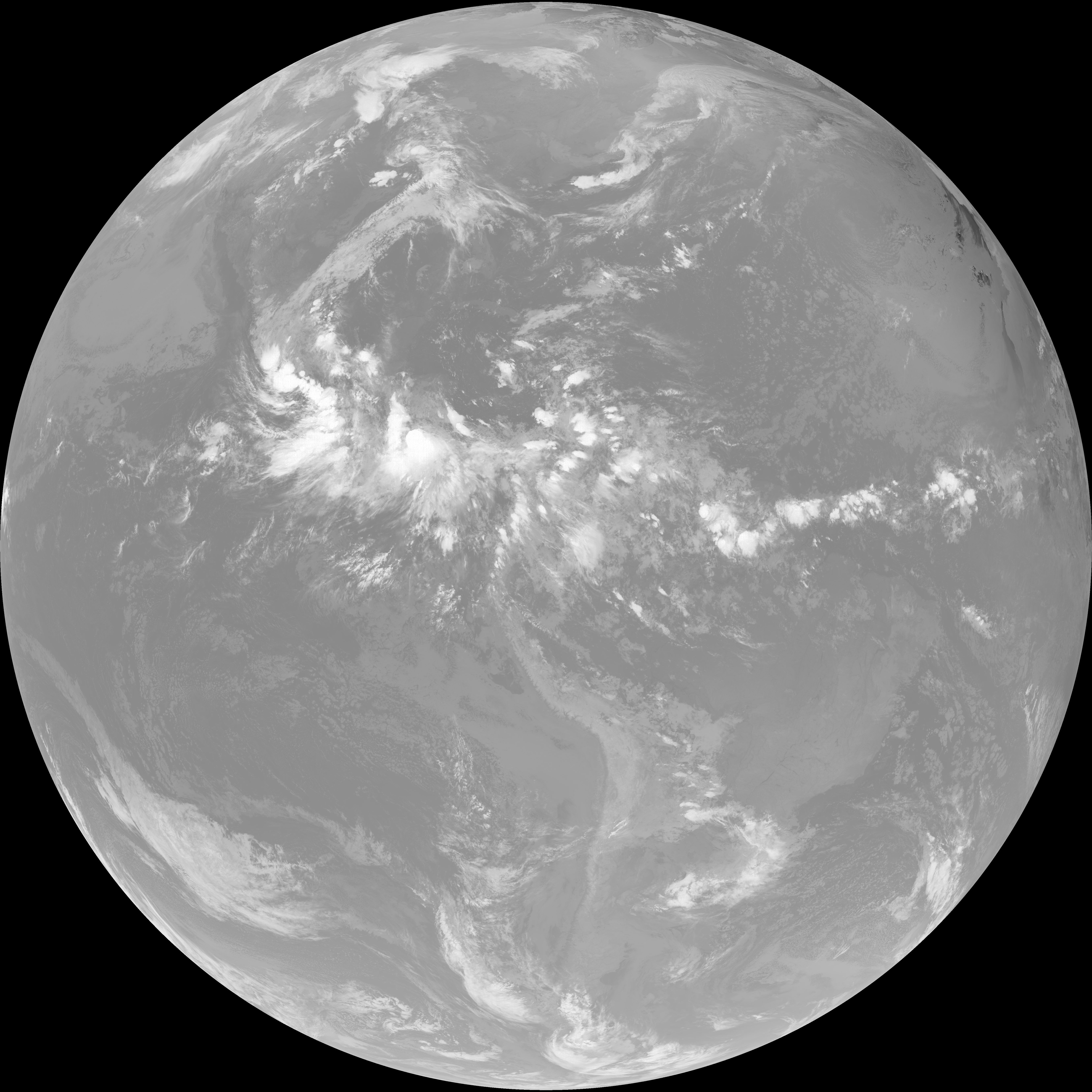
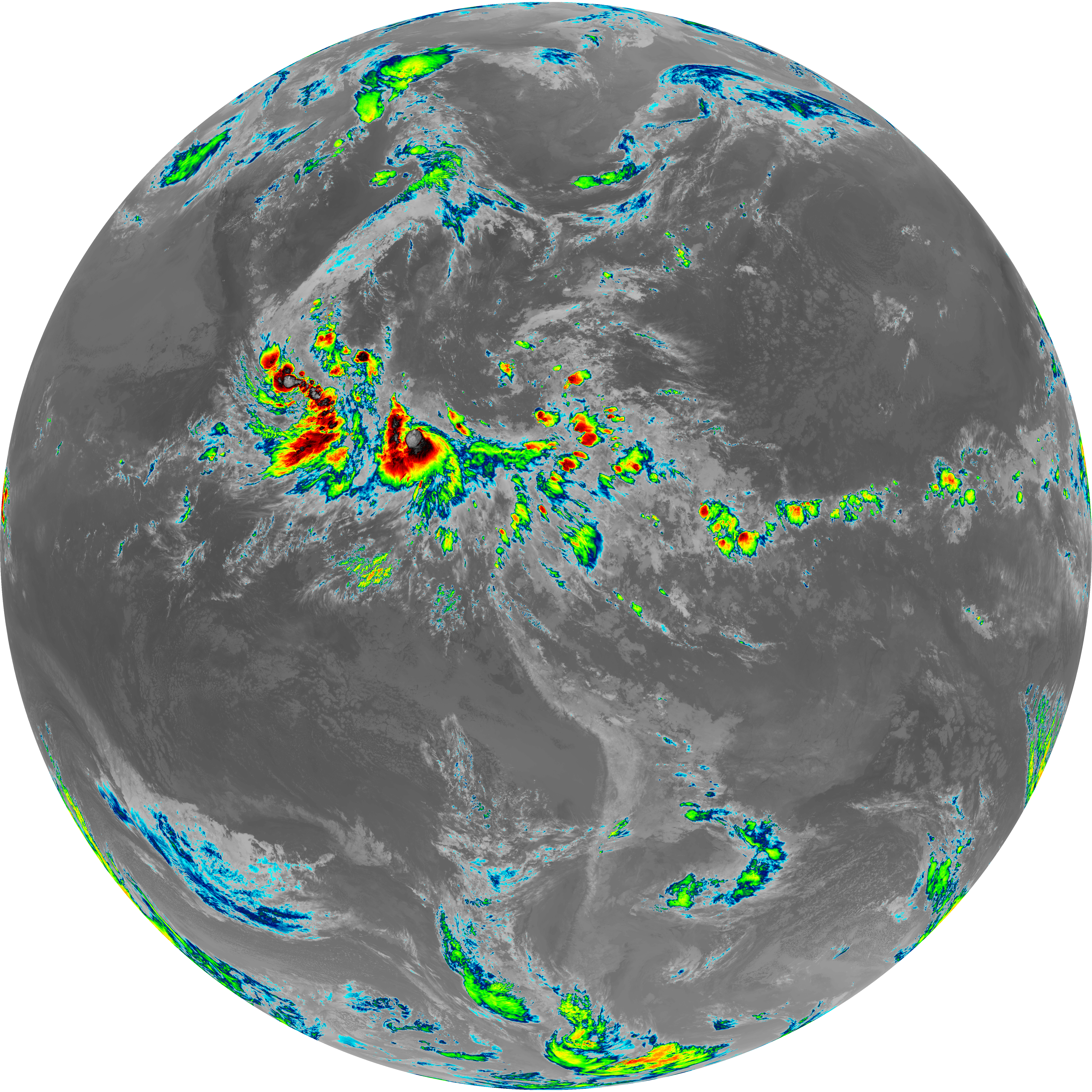
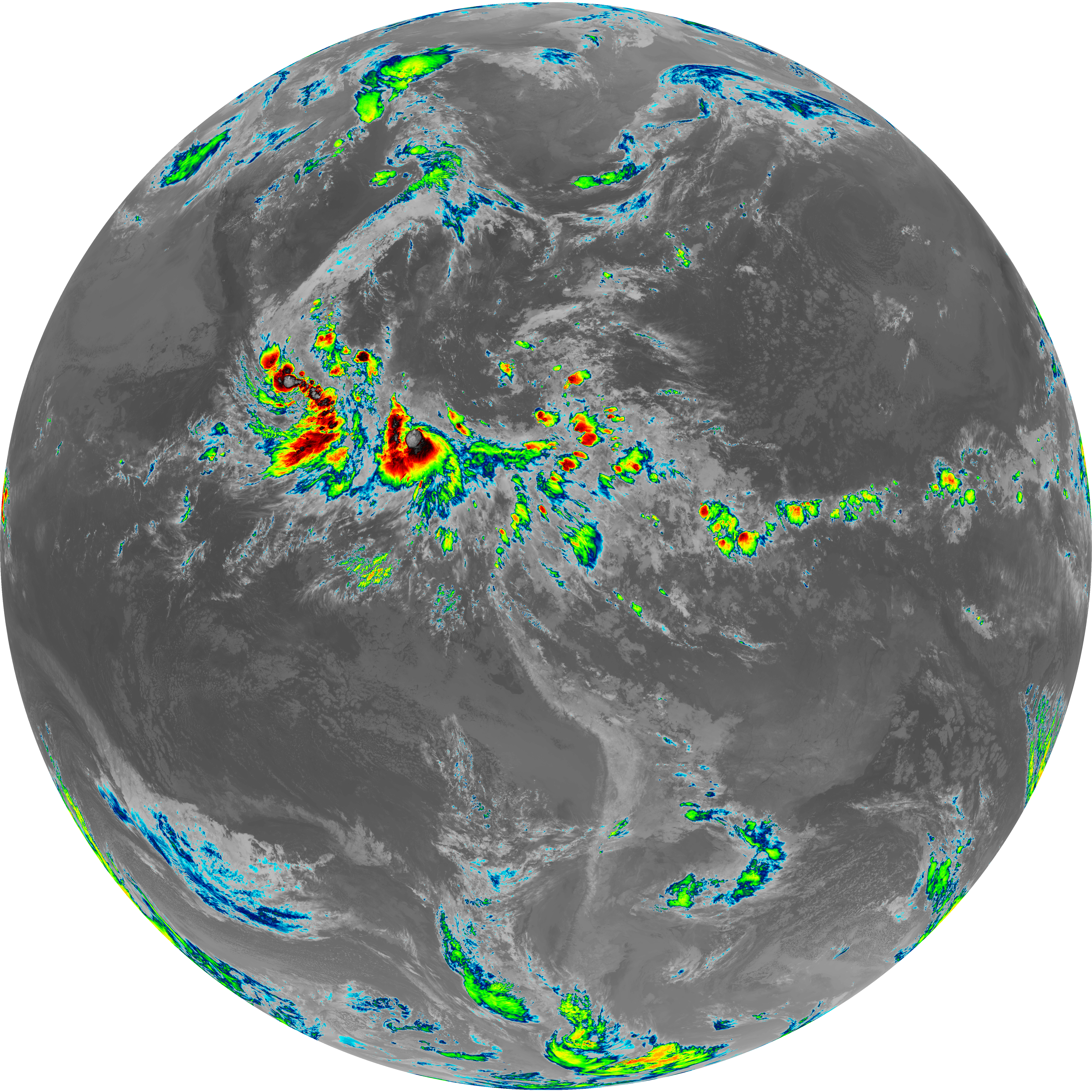
| G19_13_20260608T073021Z.png | 10181803 | 2026-Jun-08 07:46 |
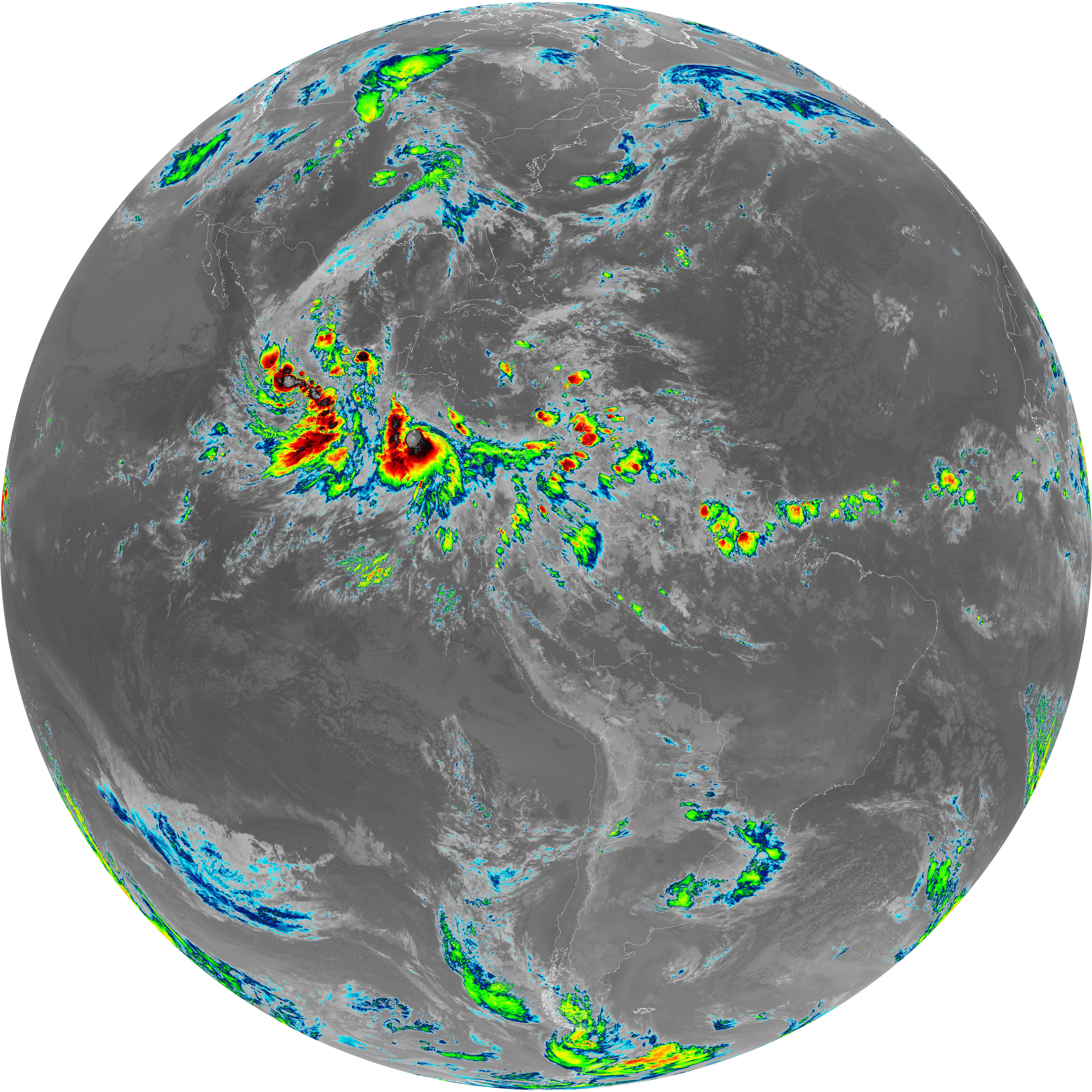
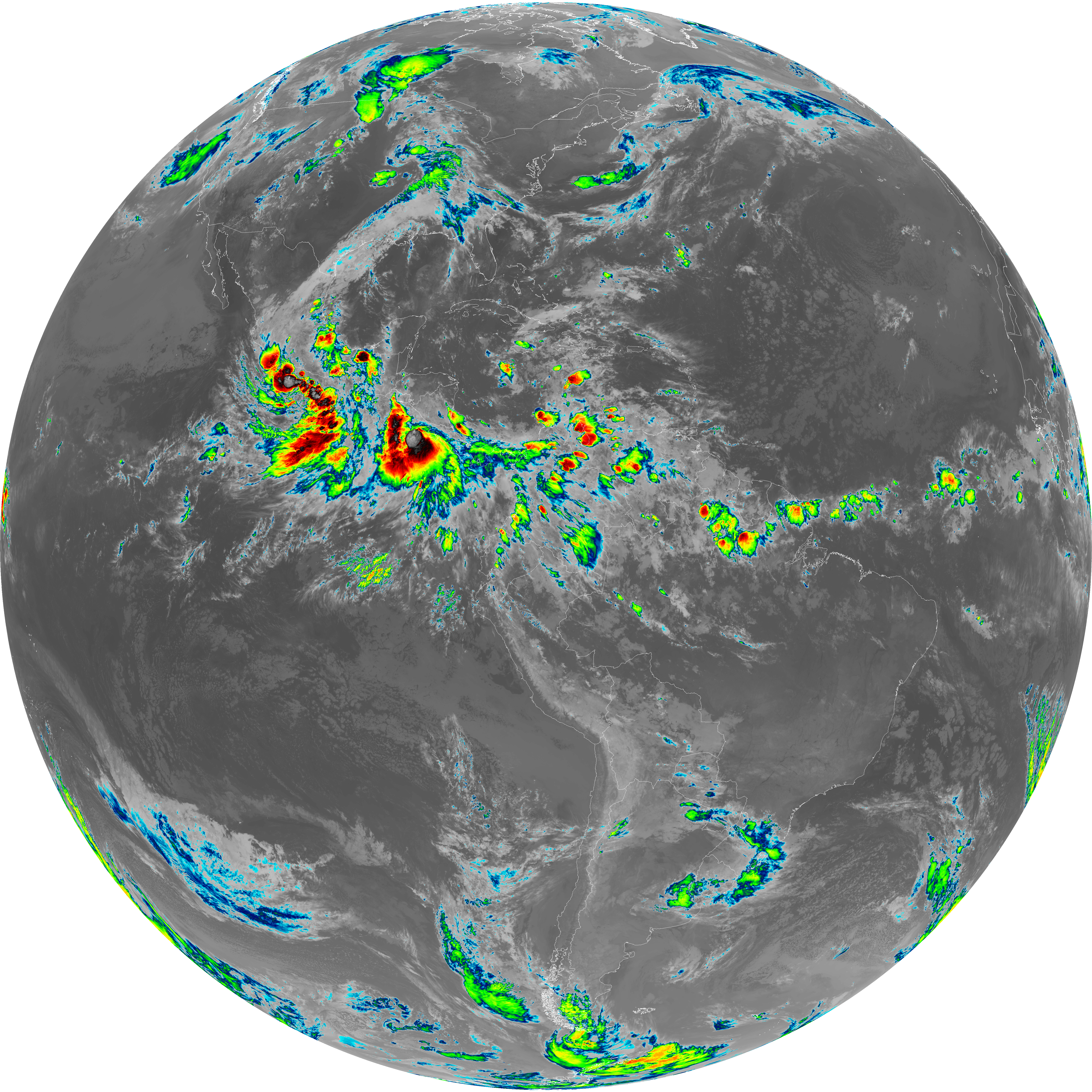
| G19_14_20260608T073021Z.png | 10318597 | 2026-Jun-08 07:53 |
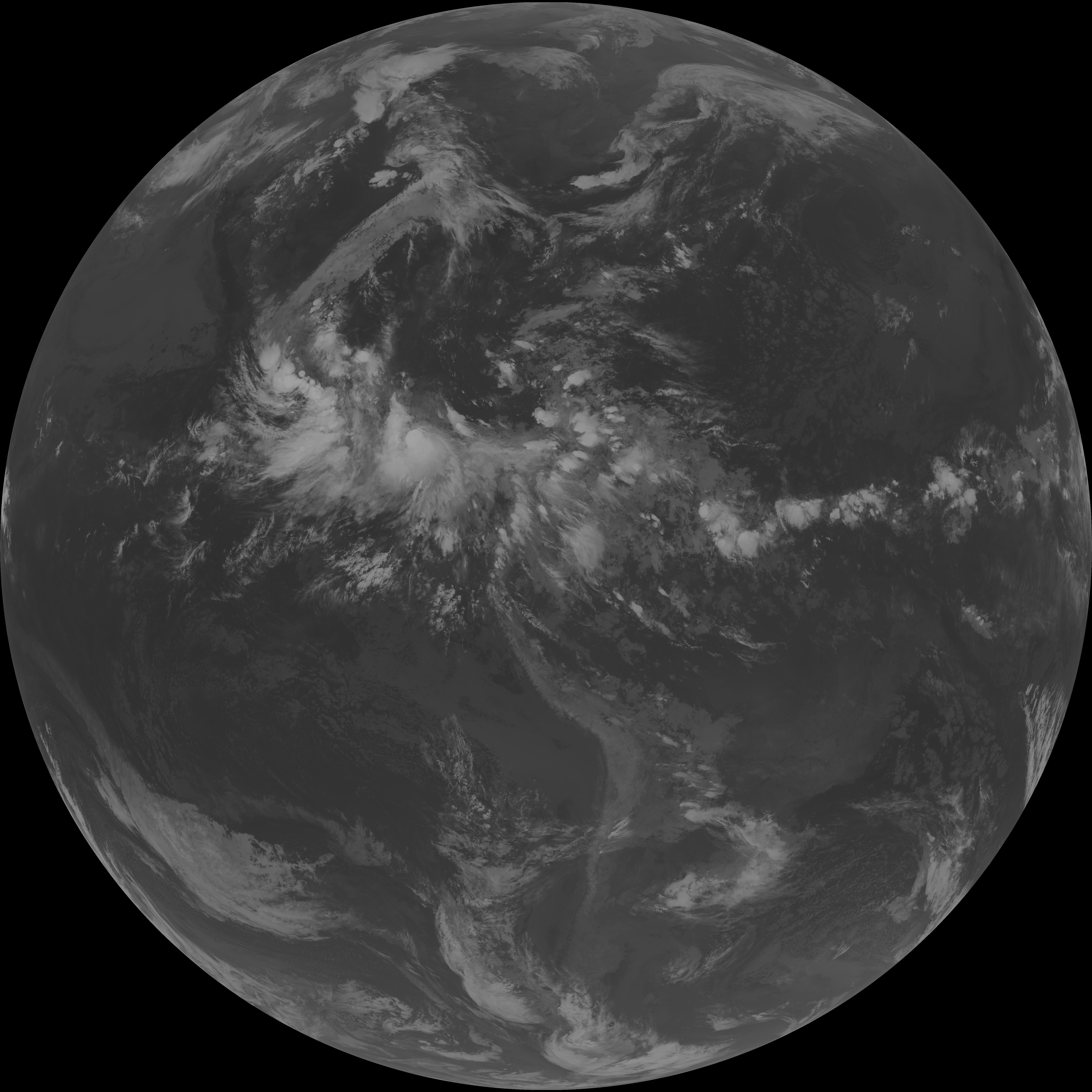
| G19_7_20260608T073021Z.png | 11251577 | 2026-Jun-08 07:43 |
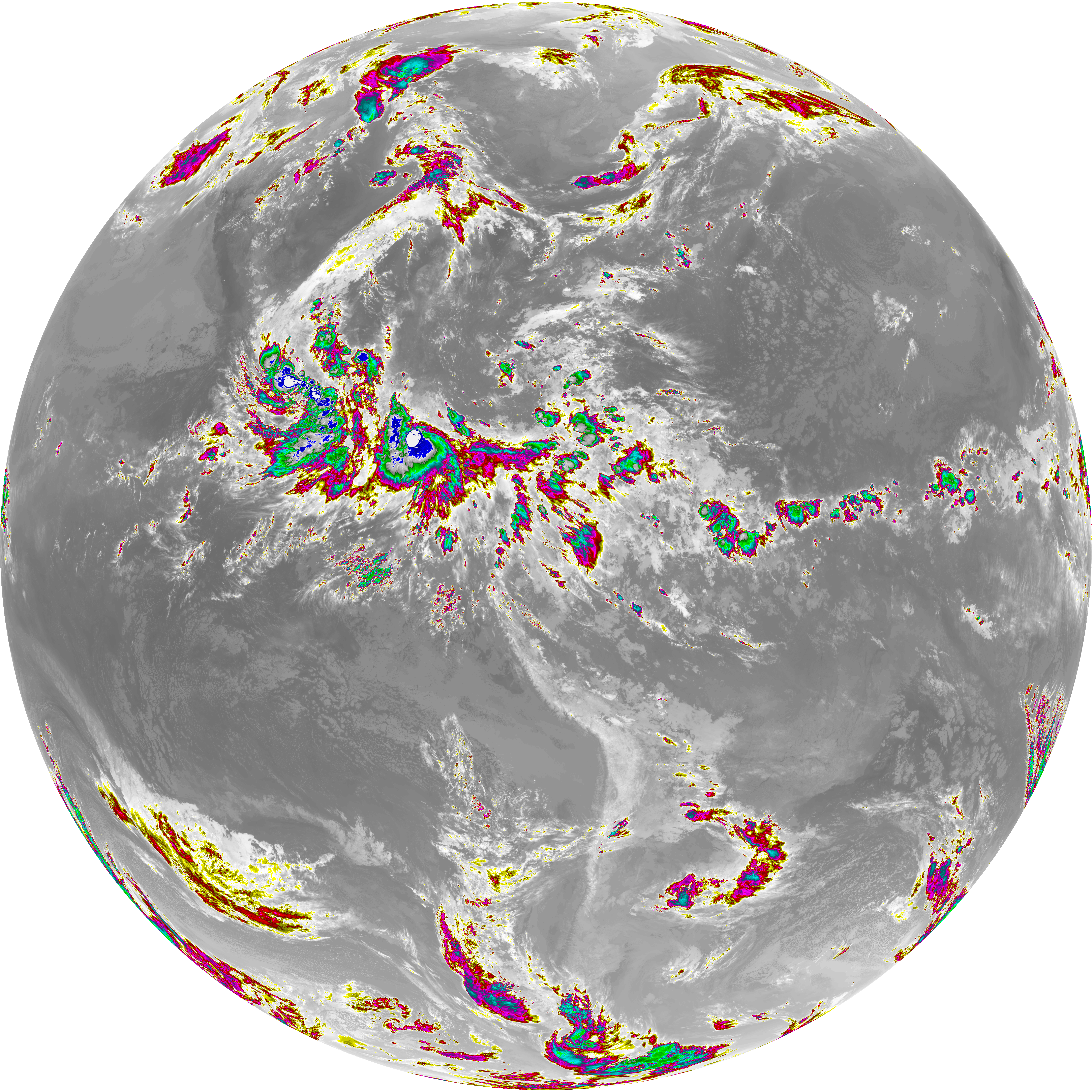
| abi_rgb_Dirty_Longwave_Window_-_CIRA.png | 11789128 | 2026-Jun-08 07:57 |
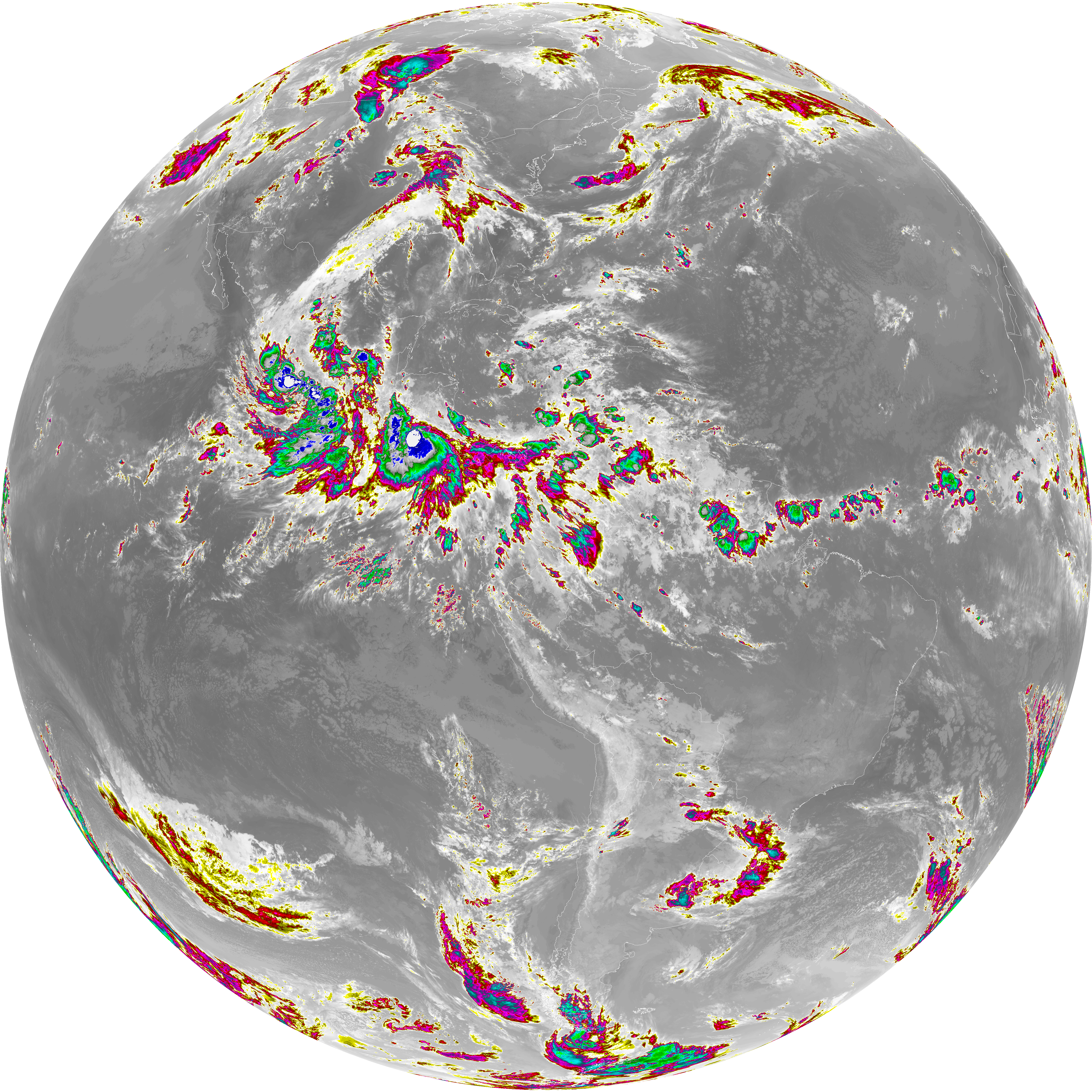
| abi_rgb_Dirty_Longwave_Window_-_CIRA_map.png | 11851034 | 2026-Jun-08 07:57 |
| abi_rgb_Dirty_Longwave_Window.png | 13501569 | 2026-Jun-08 07:56 |
| abi_rgb_Dirty_Longwave_Window_map.png | 13550575 | 2026-Jun-08 07:56 |
| abi_rgb_Clean_Longwave_IR_Window_Band.png | 13681214 | 2026-Jun-08 07:46 |
| abi_rgb_Clean_Longwave_IR_Window_Band_map.png | 13726338 | 2026-Jun-08 07:46 |
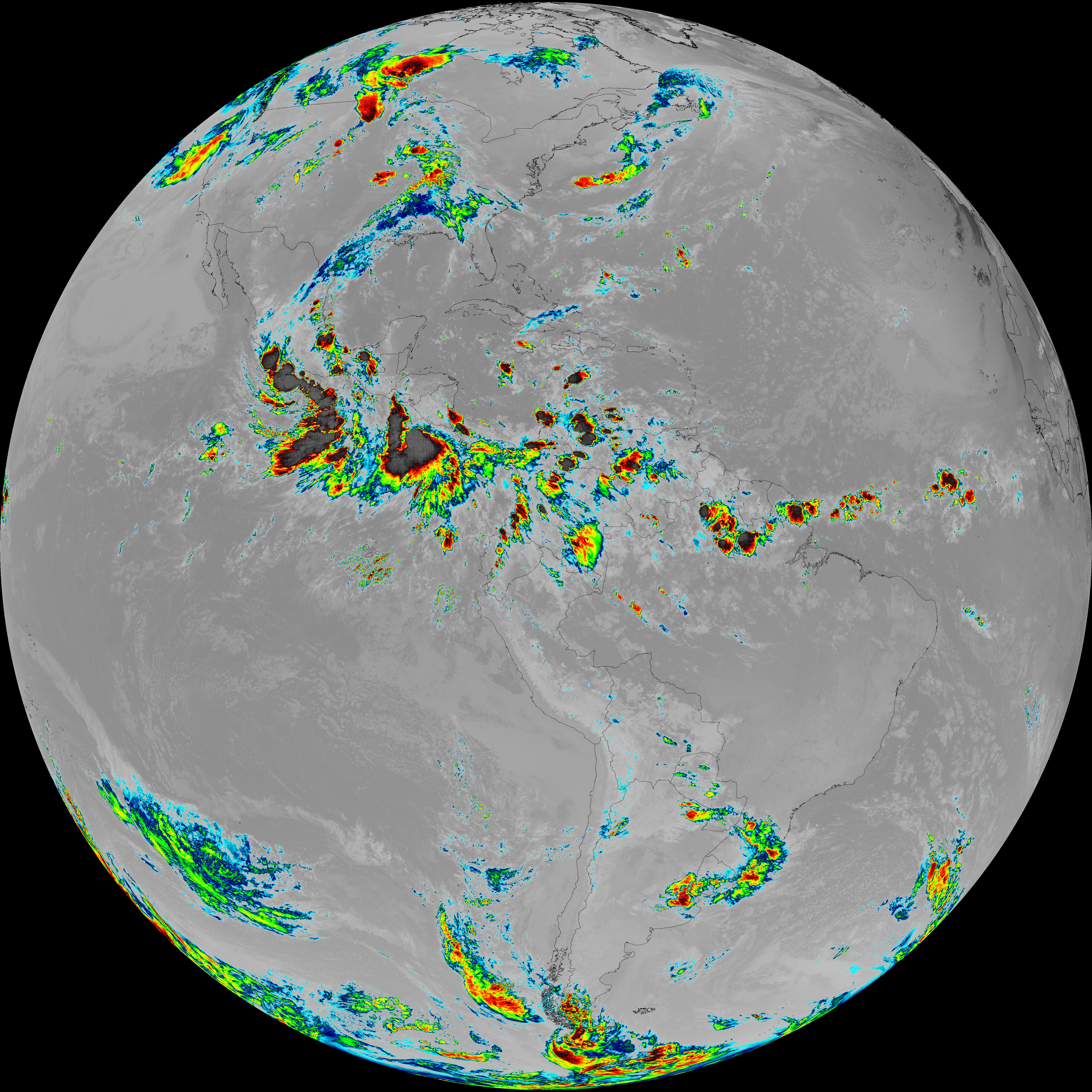
| abi_rgb_Infrared_Longwave_Window_Band.png | 13834884 | 2026-Jun-08 07:53 |
| abi_rgb_Infrared_Longwave_Window_Band_map.png | 13879689 | 2026-Jun-08 07:53 |
| abi_rgb_Shortwave_Window_Band.png | 15328356 | 2026-Jun-08 07:43 |
| abi_rgb_Shortwave_Window_Band_map.png | 15379852 | 2026-Jun-08 07:43 |