| Parent directory/ | - | - |
| abi_rgb_Shortwave_Window_Band_map.png | 15299595 | 2026-Jun-08 08:13 |
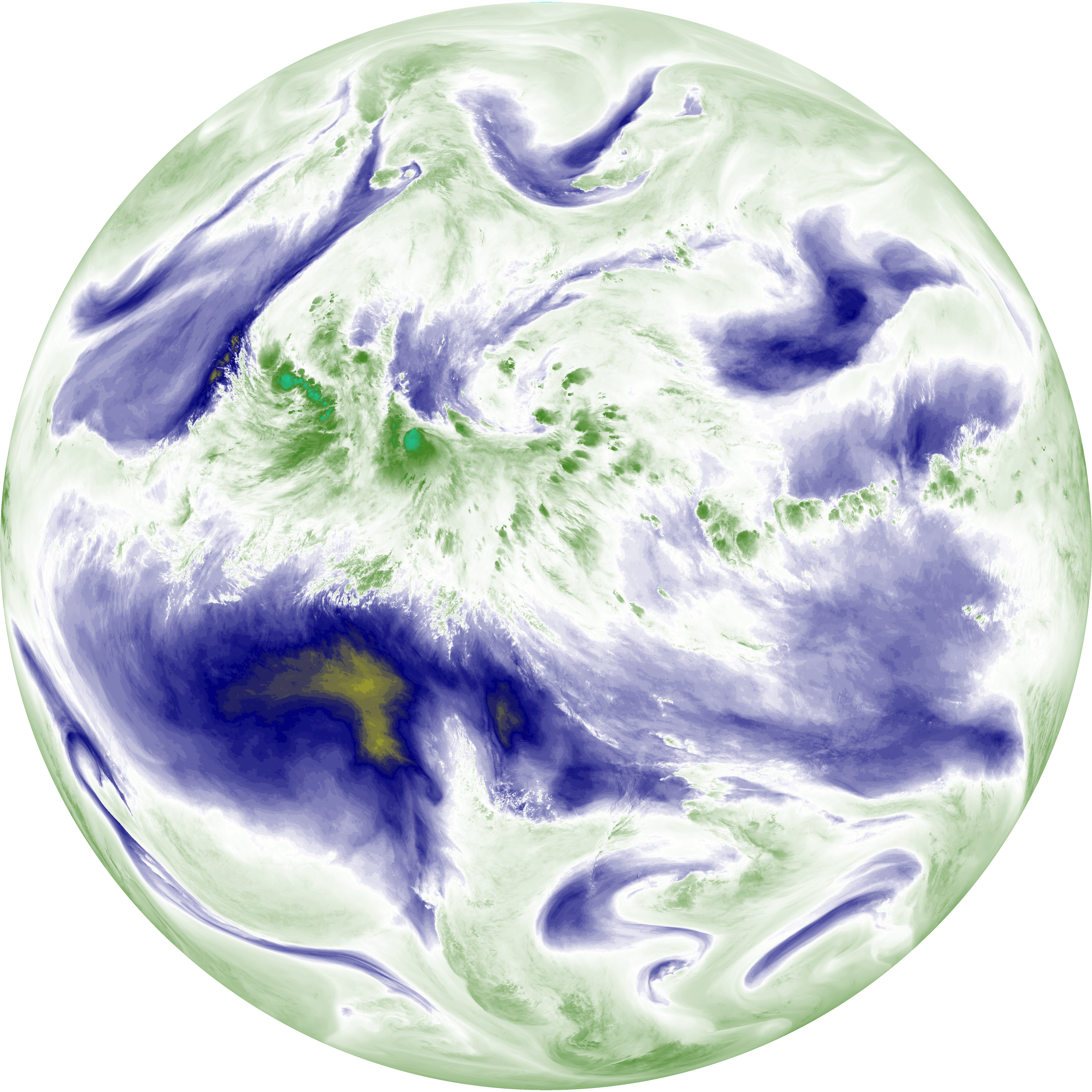
| abi_rgb_Shortwave_Window_Band.png | 15246551 | 2026-Jun-08 08:13 |
| abi_rgb_Infrared_Longwave_Window_Band_map.png | 13870828 | 2026-Jun-08 08:24 |
| abi_rgb_Infrared_Longwave_Window_Band.png | 13825427 | 2026-Jun-08 08:24 |
| abi_rgb_Clean_Longwave_IR_Window_Band_map.png | 13720451 | 2026-Jun-08 08:16 |
| abi_rgb_Clean_Longwave_IR_Window_Band.png | 13675651 | 2026-Jun-08 08:16 |
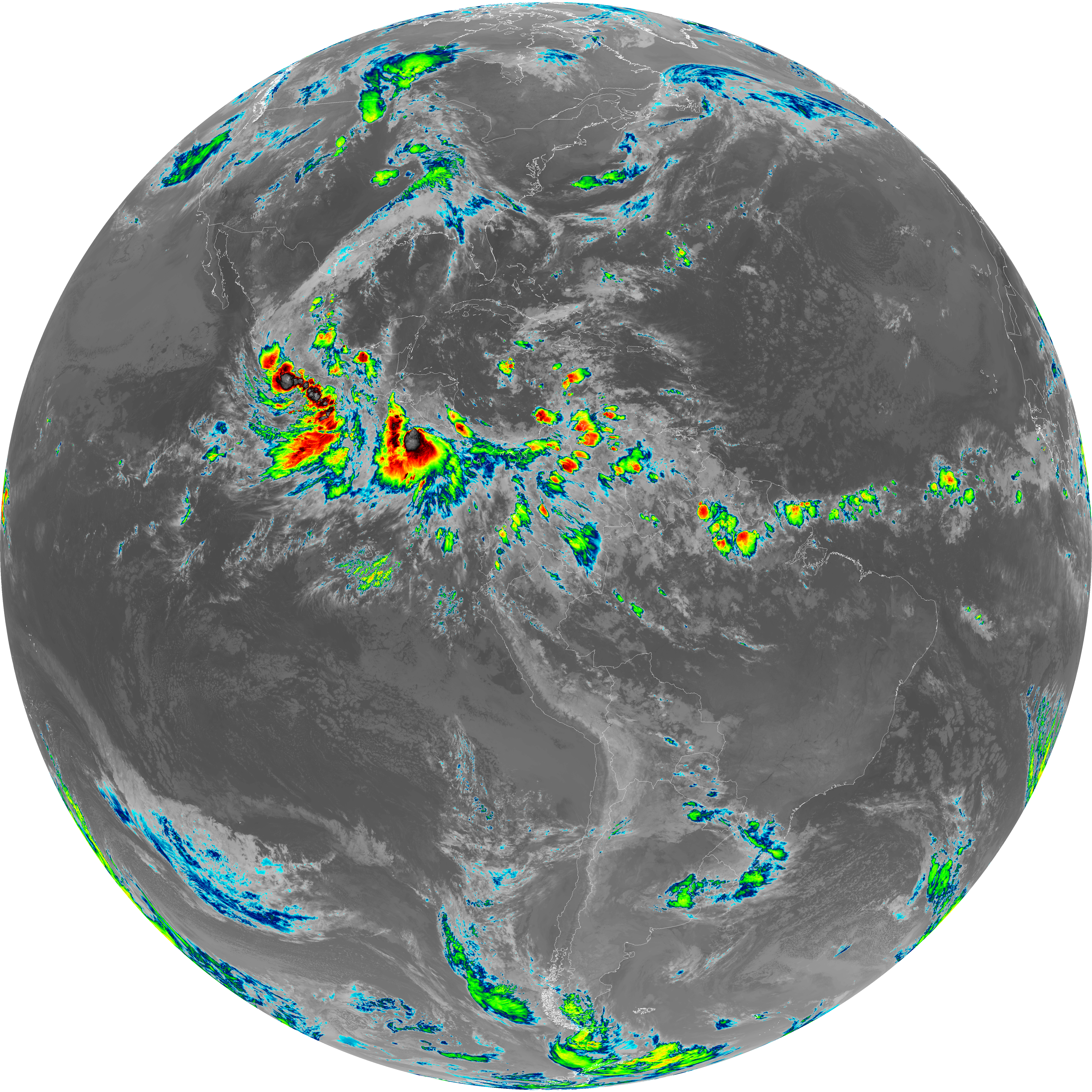
| abi_rgb_Dirty_Longwave_Window_map.png | 13543558 | 2026-Jun-08 08:27 |
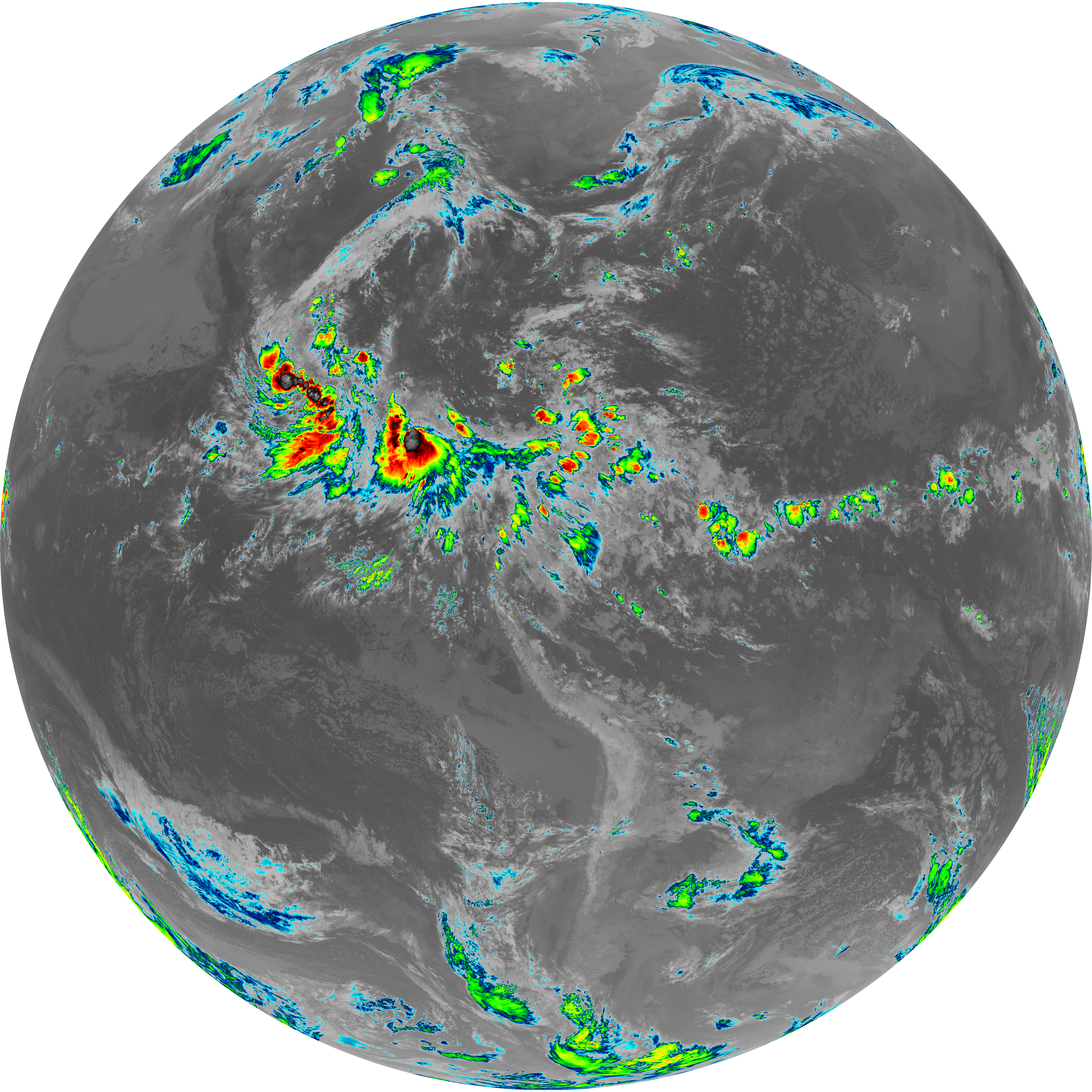
| abi_rgb_Dirty_Longwave_Window.png | 13494704 | 2026-Jun-08 08:27 |
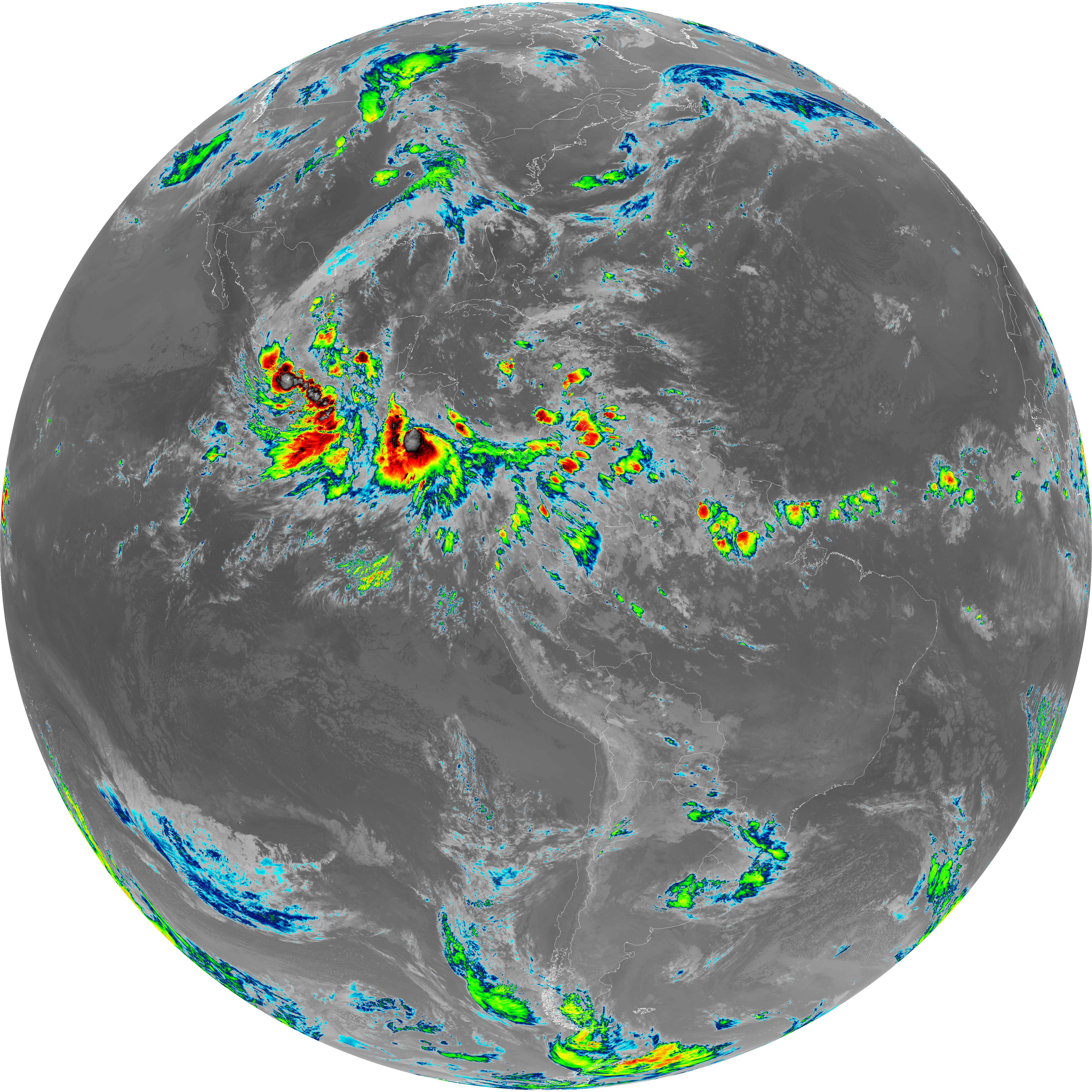
| abi_rgb_Dirty_Longwave_Window_-_CIRA_map.png | 11846863 | 2026-Jun-08 08:27 |
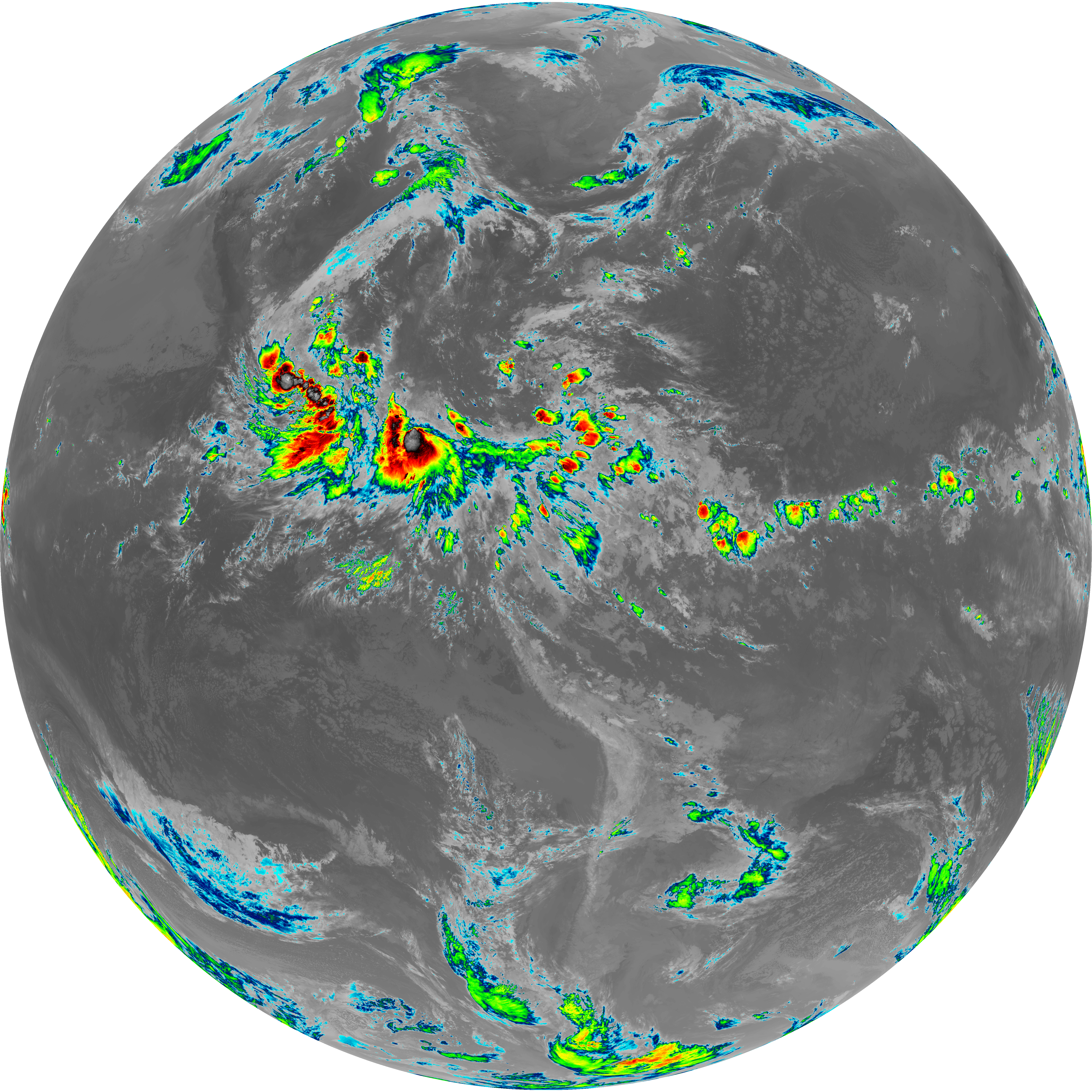
| abi_rgb_Dirty_Longwave_Window_-_CIRA.png | 11784953 | 2026-Jun-08 08:27 |
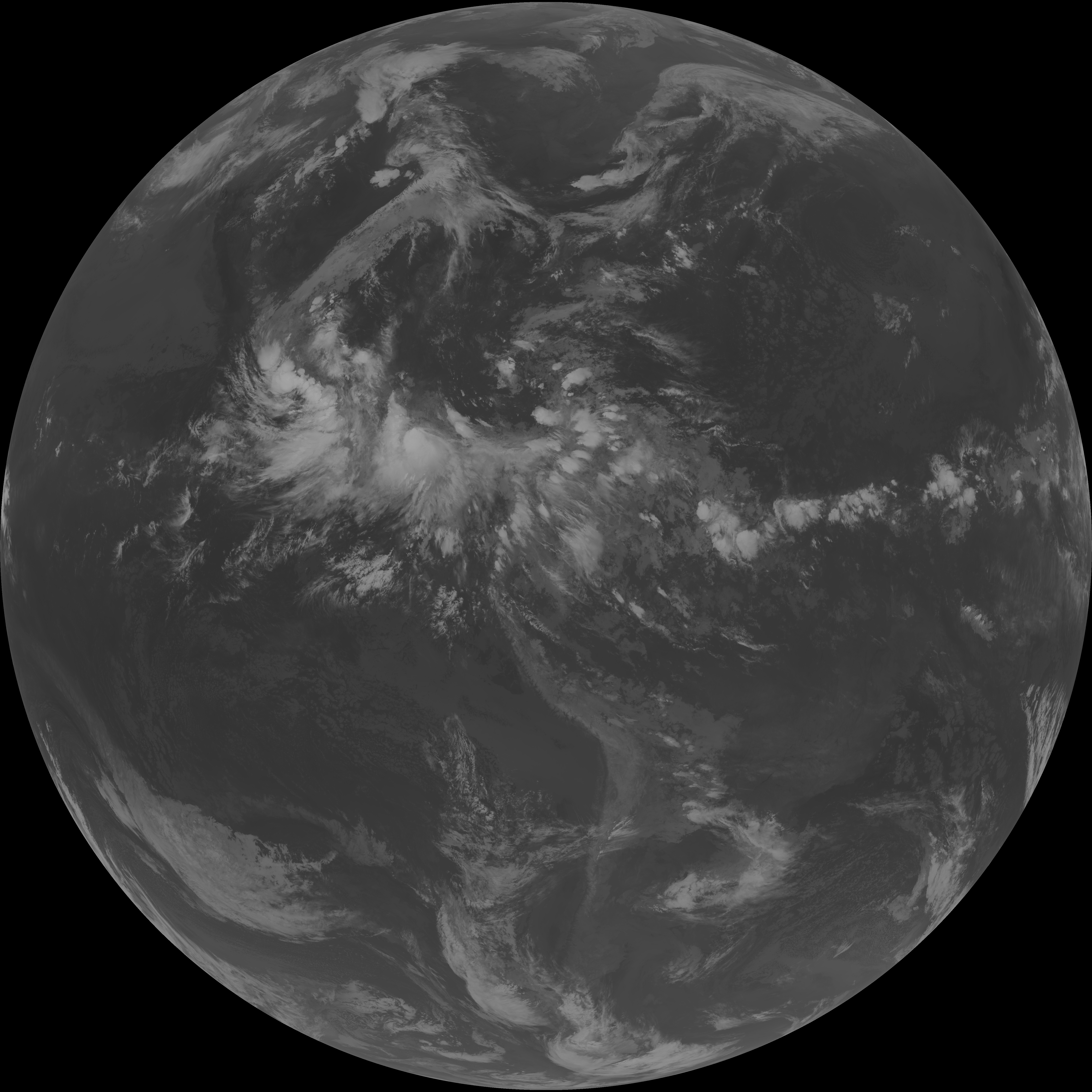
| G19_7_20260608T080021Z.png | 11241248 | 2026-Jun-08 08:13 |
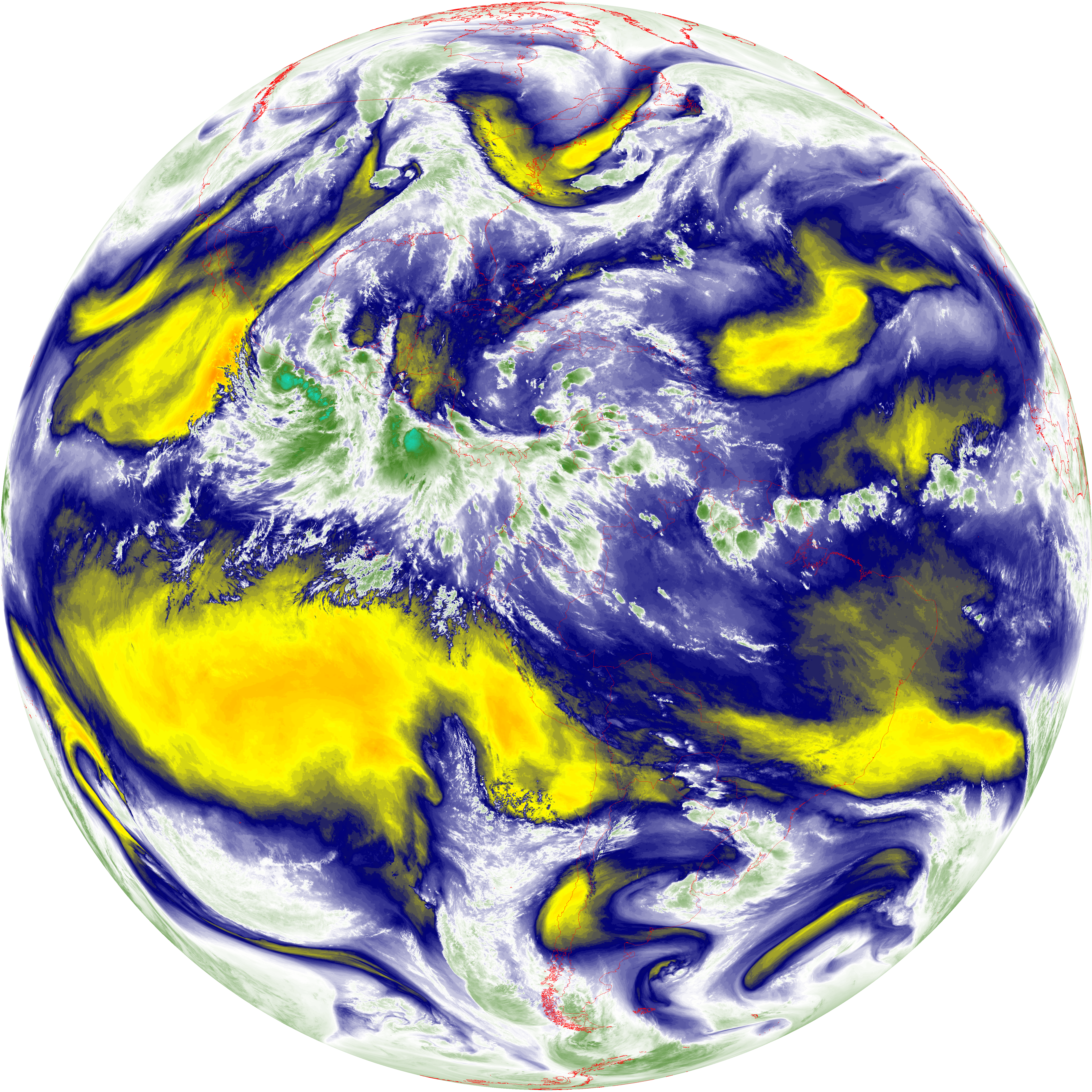
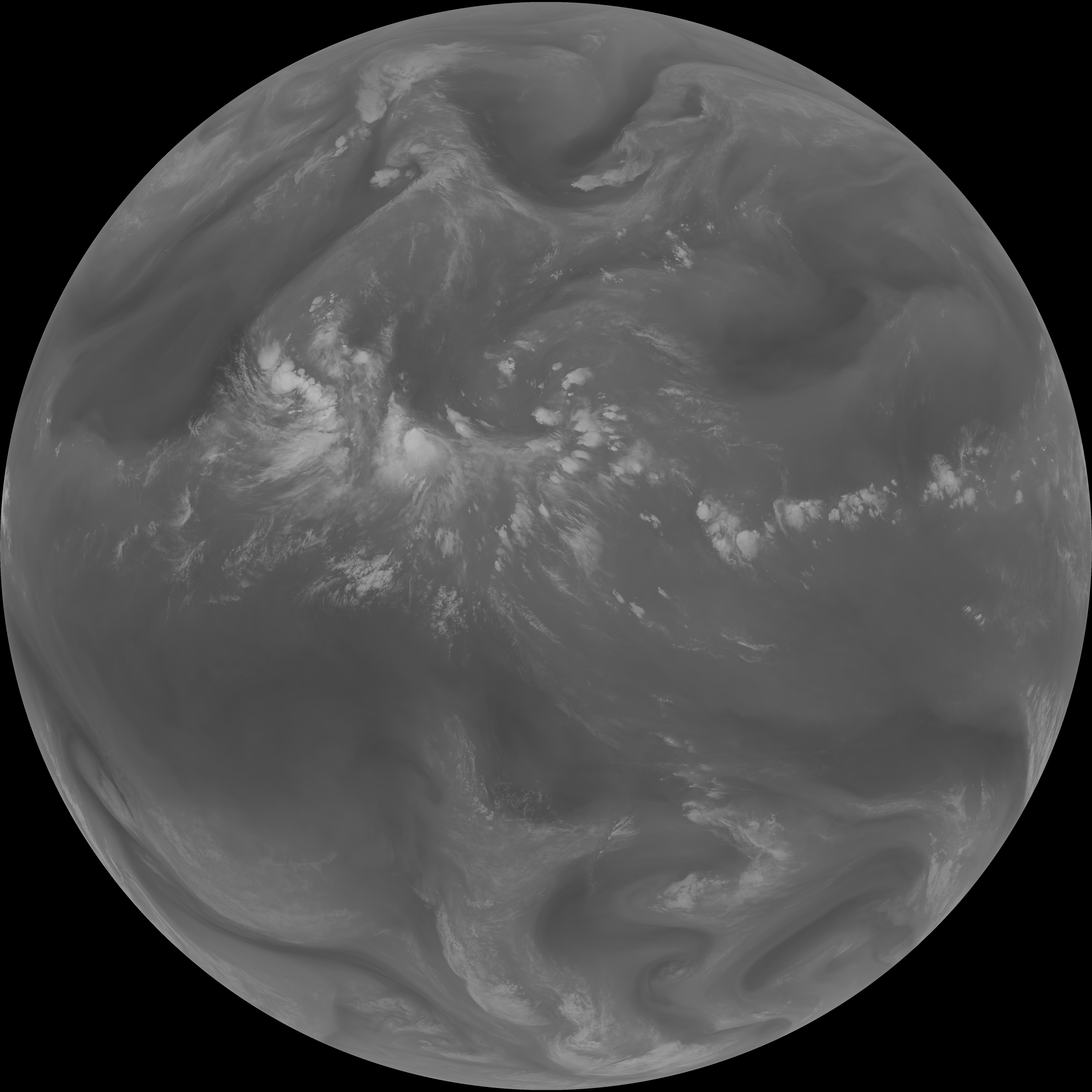
| G19_14_20260608T080021Z.png | 10308842 | 2026-Jun-08 08:24 |
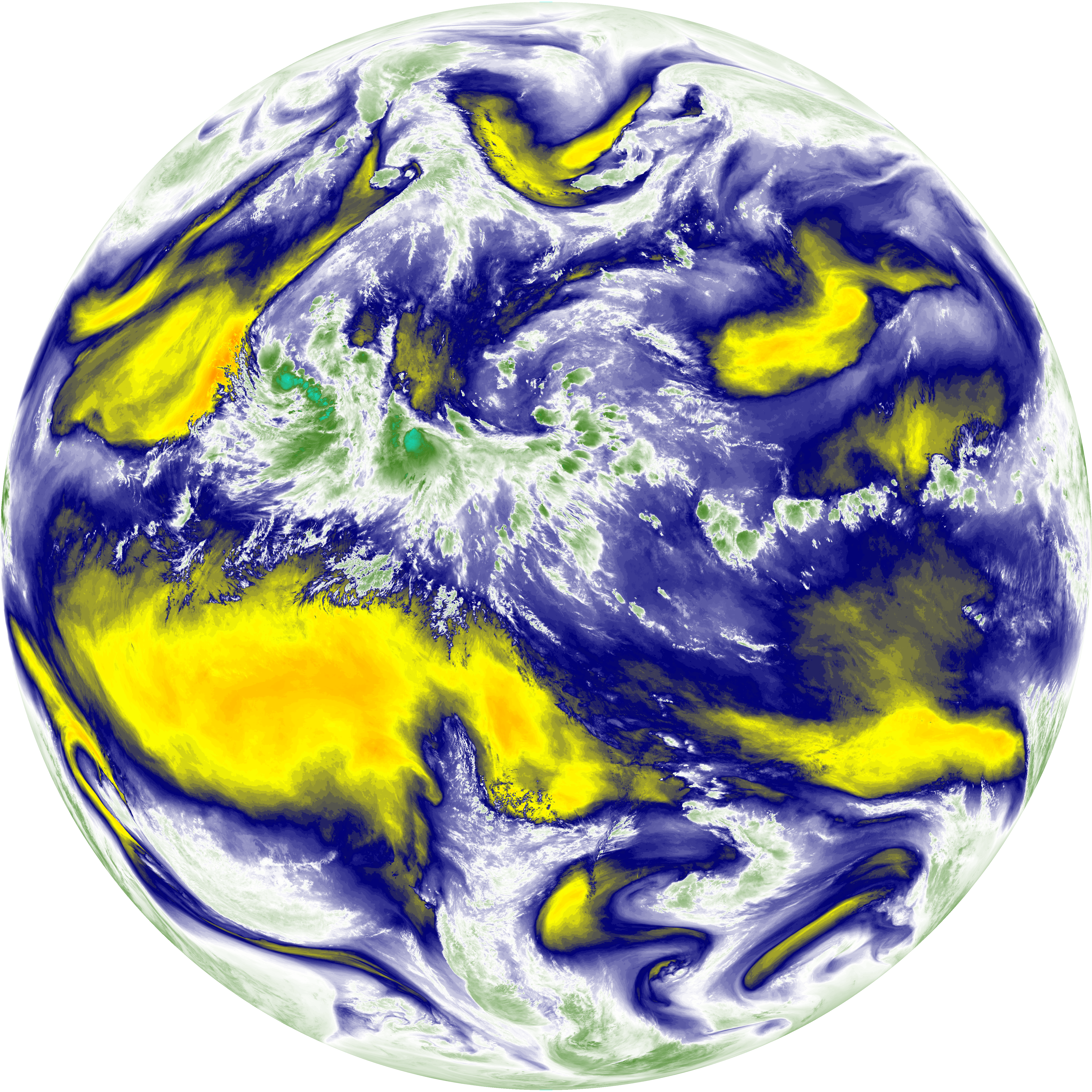
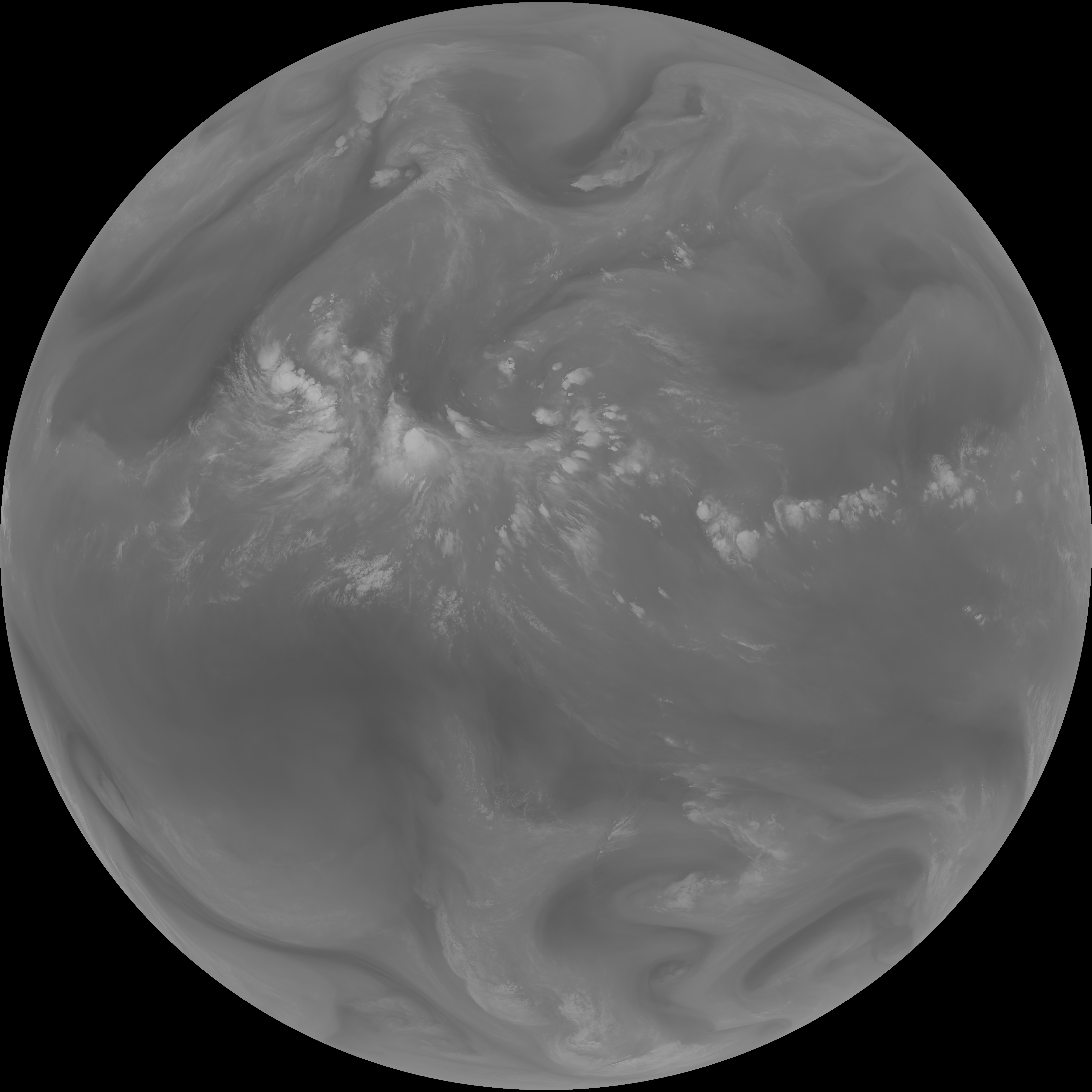
| G19_13_20260608T080021Z.png | 10175120 | 2026-Jun-08 08:16 |
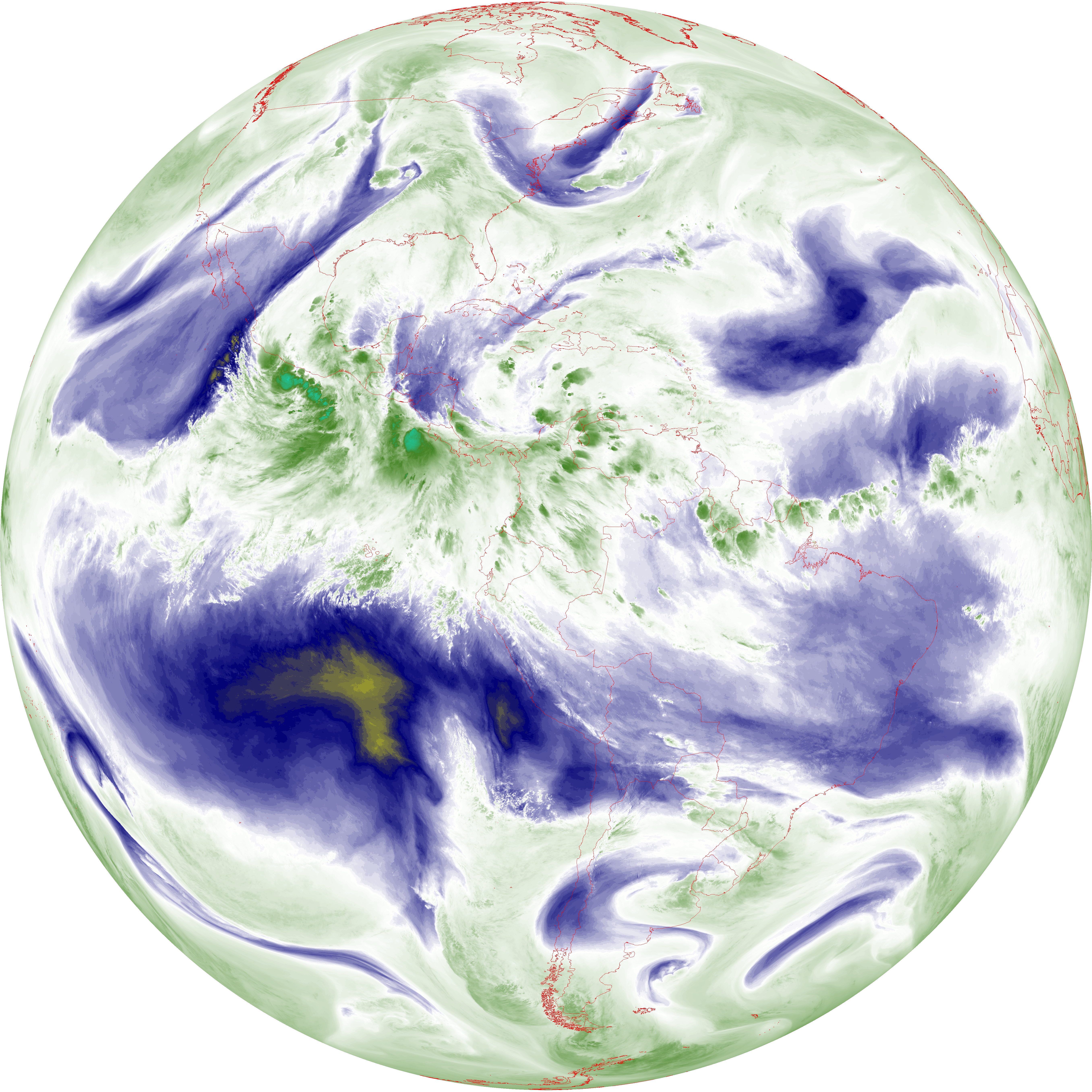
| G19_15_20260608T080021Z.png | 10030928 | 2026-Jun-08 08:27 |
| abi_rgb_Mid-level_Tropospheric_Water_Vapor_map.png | 8618181 | 2026-Jun-08 08:21 |
| abi_rgb_Mid-level_Tropospheric_Water_Vapor.png | 8513810 | 2026-Jun-08 08:21 |
| abi_rgb_Upper-Level_Tropospheric_Water_Vapor_map.png | 7425770 | 2026-Jun-08 08:19 |
| abi_rgb_Upper-Level_Tropospheric_Water_Vapor.png | 7311144 | 2026-Jun-08 08:19 |
| G19_9_20260608T080021Z.png | 6311270 | 2026-Jun-08 08:21 |
| G19_8_20260608T080021Z.png | 5460612 | 2026-Jun-08 08:19 |
| G19_2_20260608T080021Z.png | 2528135 | 2026-Jun-08 08:17 |