| Parent directory/ | - | - |
| G19_7_20260608T083021Z.png | 11220154 | 2026-Jun-08 08:43 |
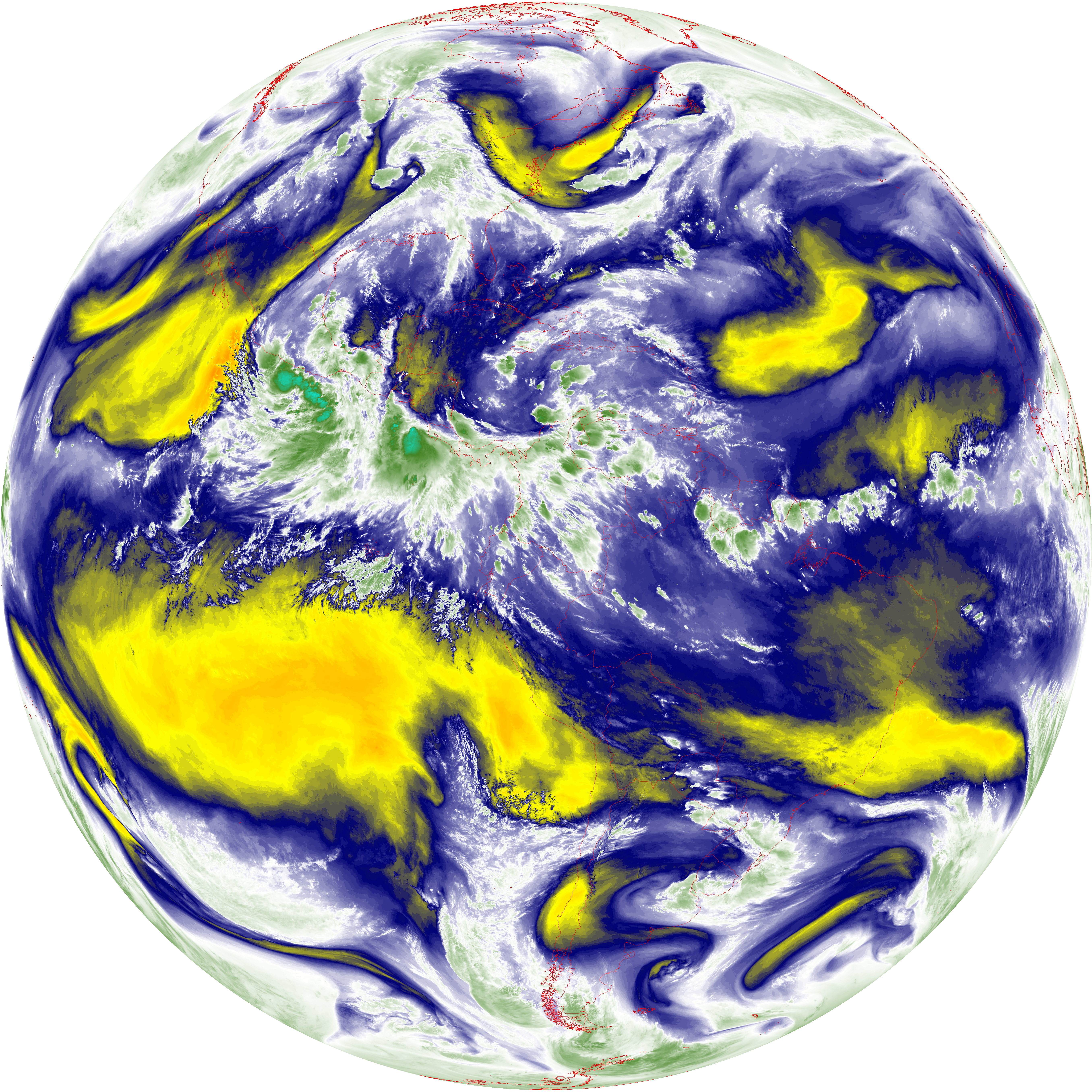
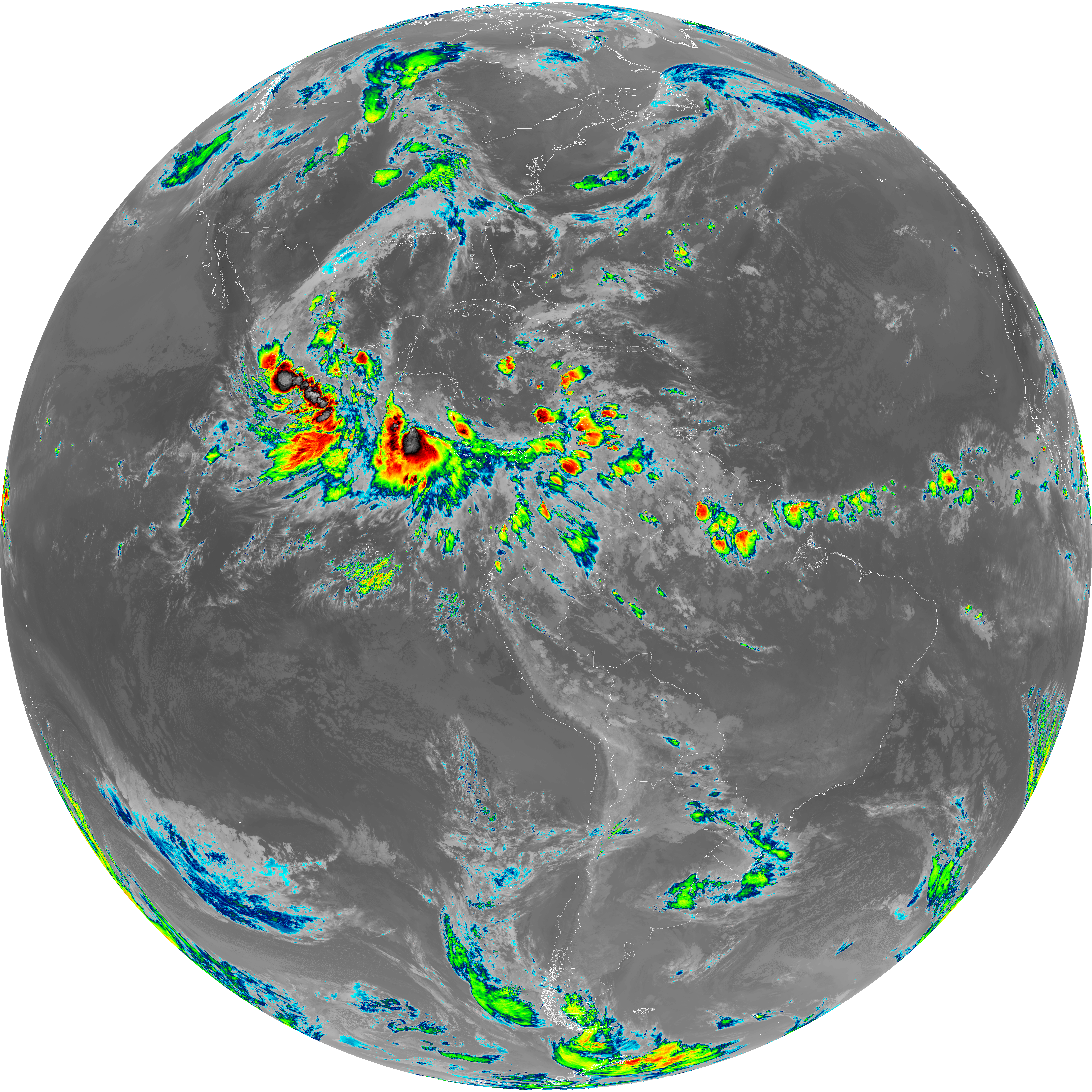
| abi_rgb_Shortwave_Window_Band.png | 15181773 | 2026-Jun-08 08:43 |
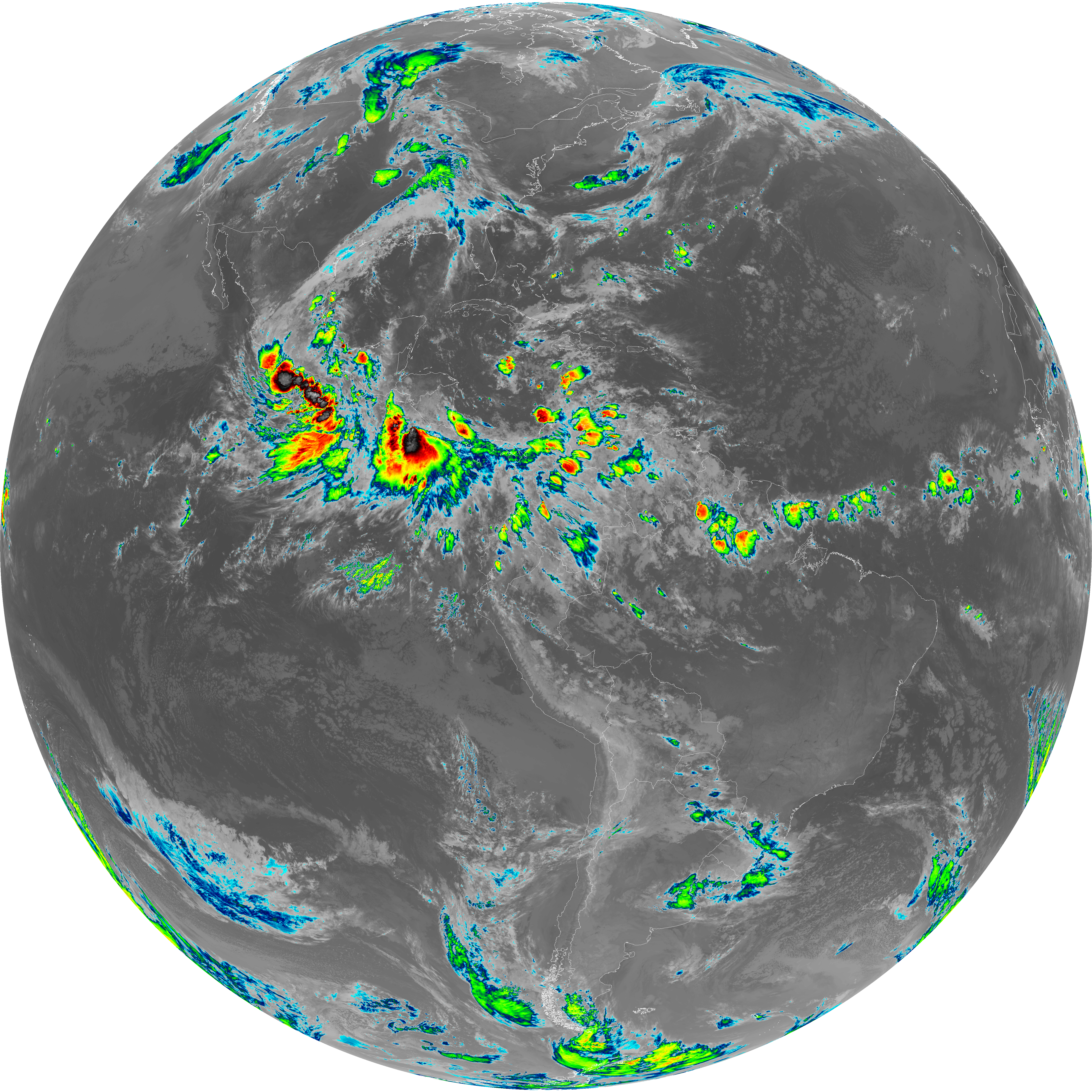
| abi_rgb_Shortwave_Window_Band_map.png | 15235266 | 2026-Jun-08 08:43 |
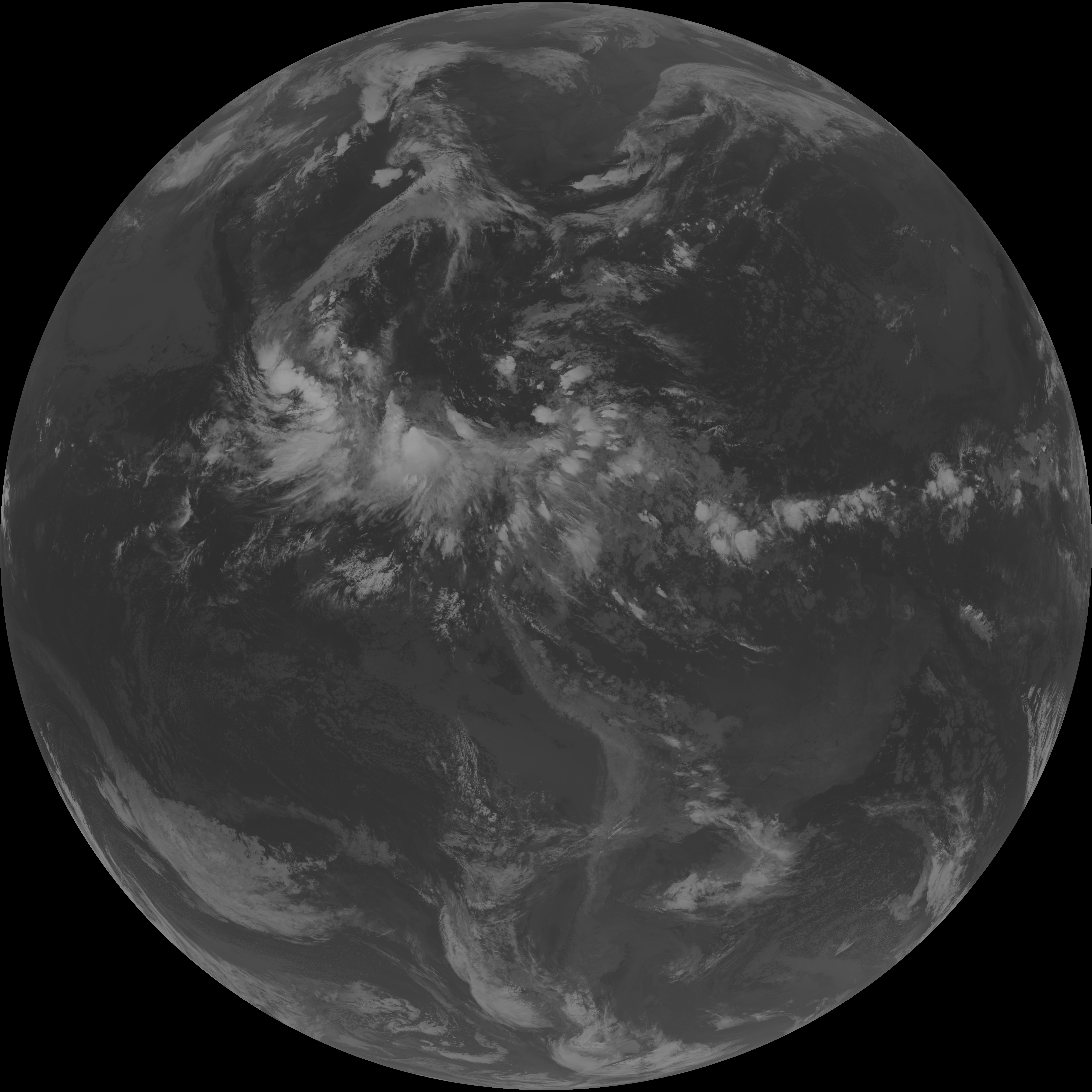
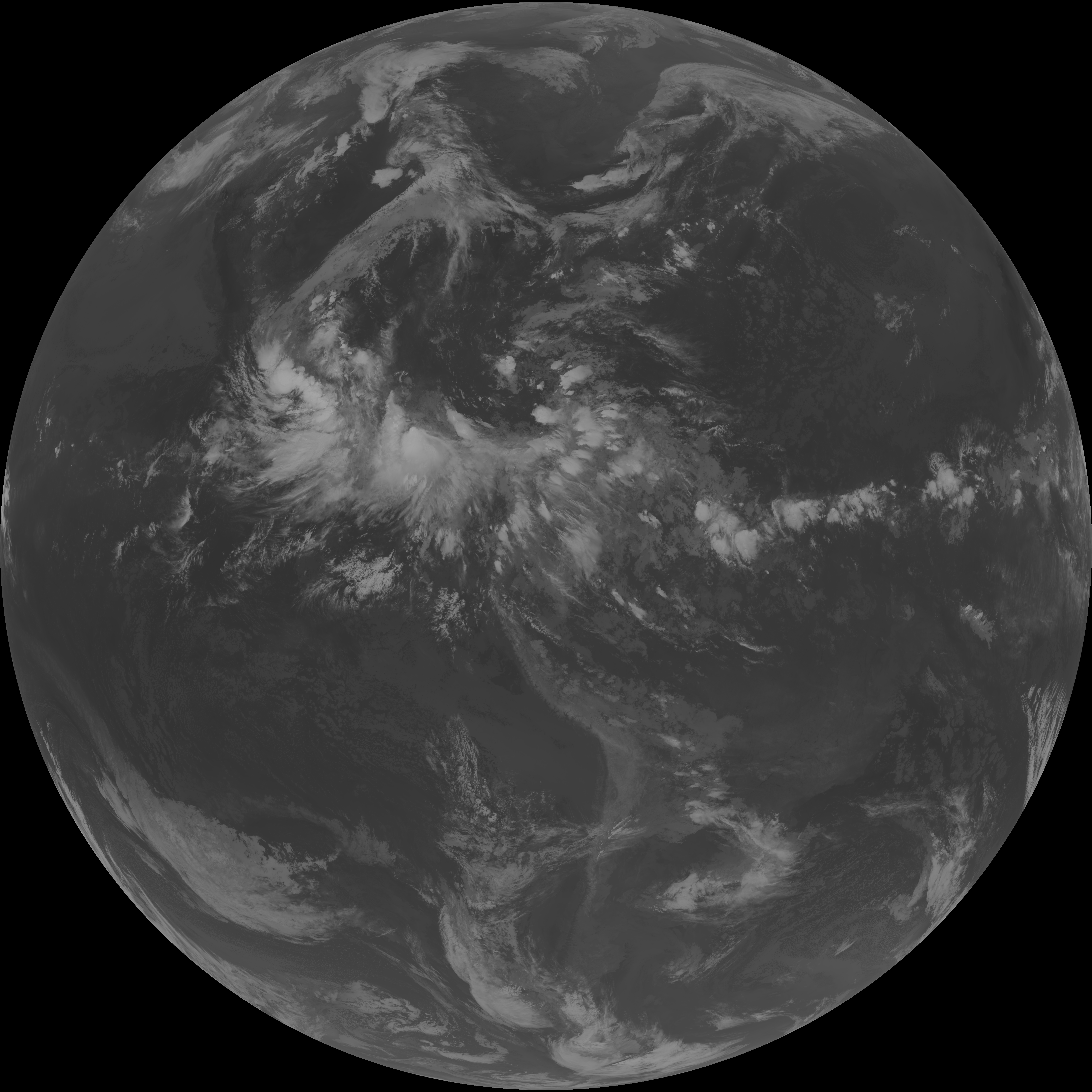
| G19_13_20260608T083021Z.png | 10170048 | 2026-Jun-08 08:46 |
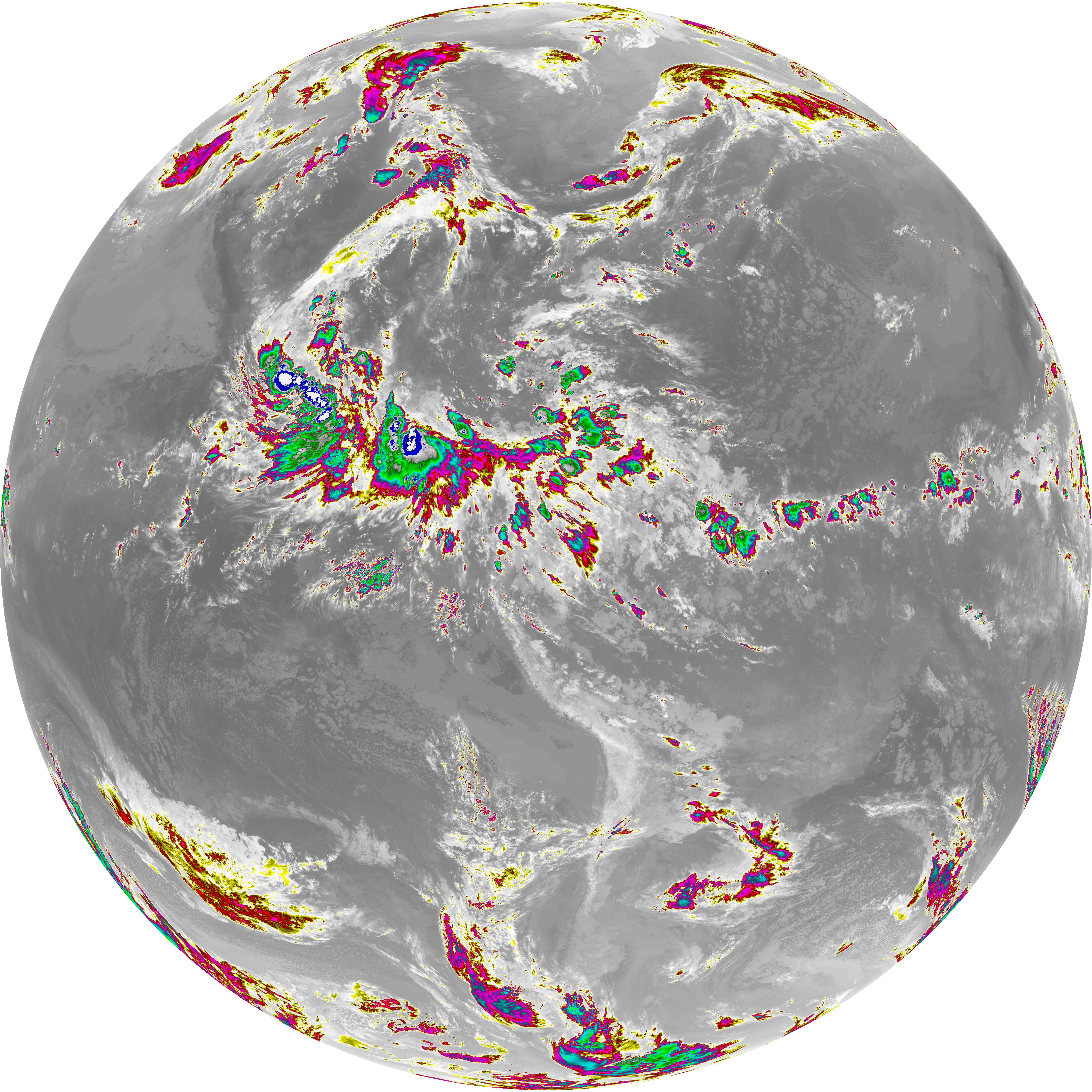
| abi_rgb_Clean_Longwave_IR_Window_Band.png | 13668103 | 2026-Jun-08 08:46 |
| abi_rgb_Clean_Longwave_IR_Window_Band_map.png | 13713388 | 2026-Jun-08 08:46 |
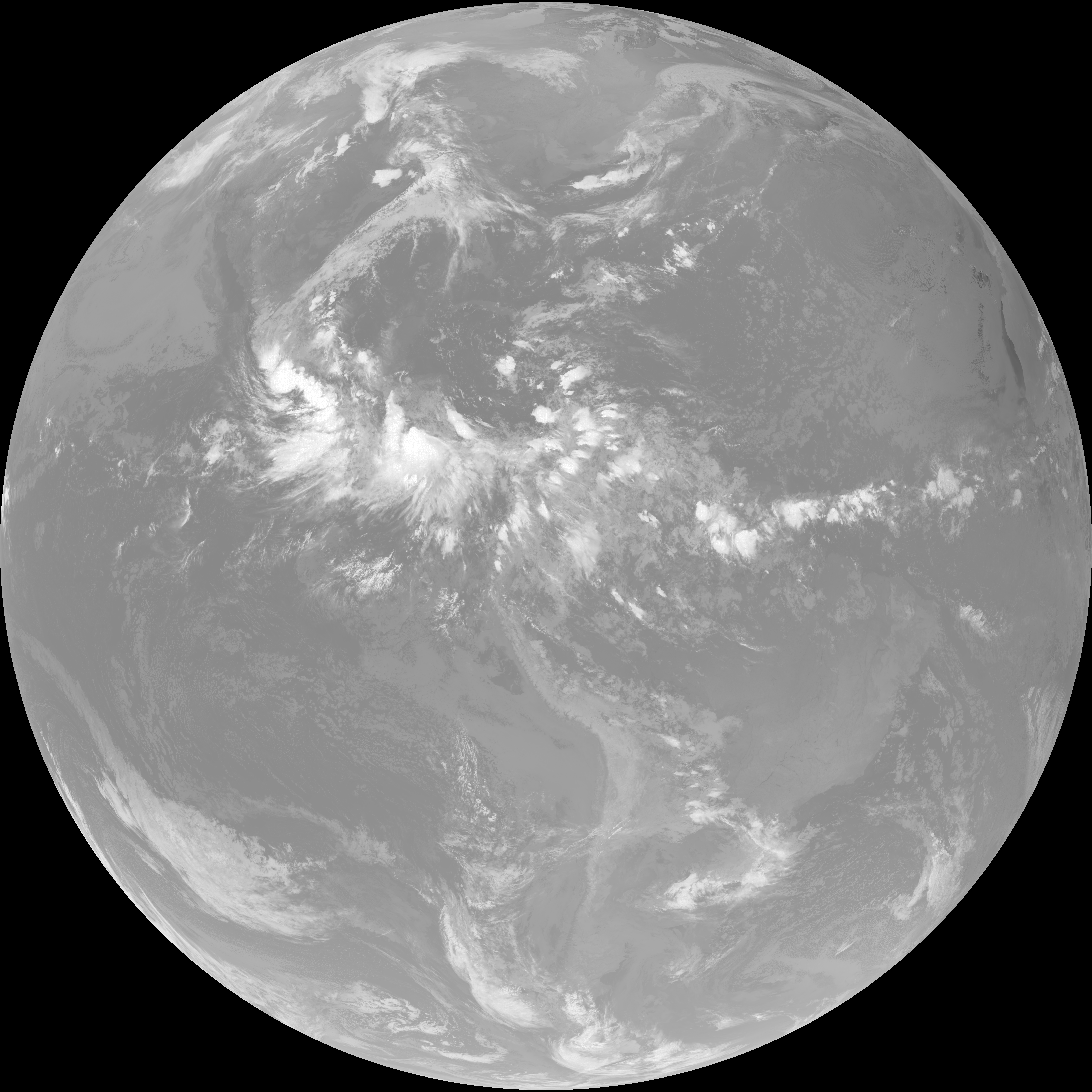
| G19_2_20260608T083021Z.png | 3246758 | 2026-Jun-08 08:47 |
| G19_8_20260608T083021Z.png | 5461049 | 2026-Jun-08 08:48 |
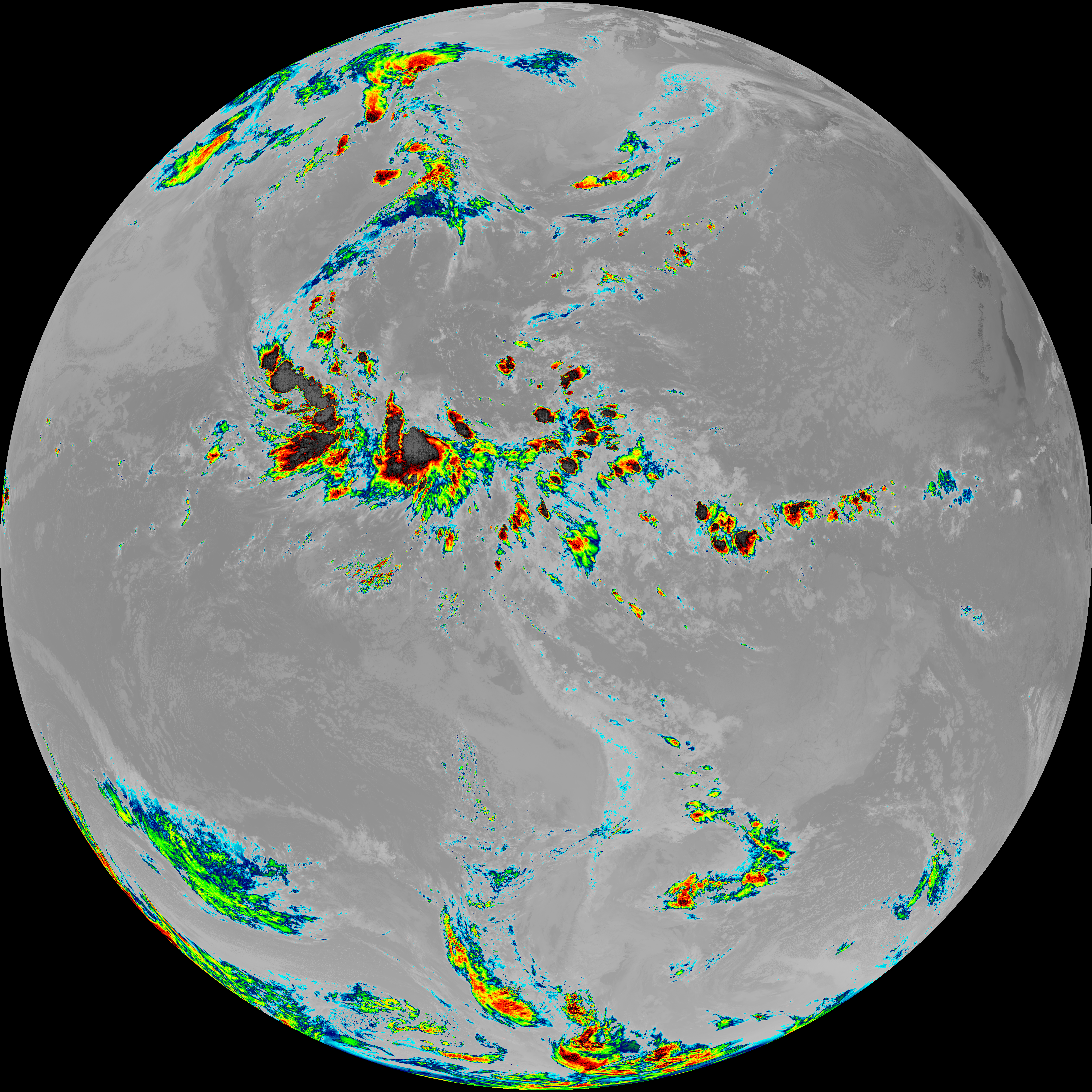
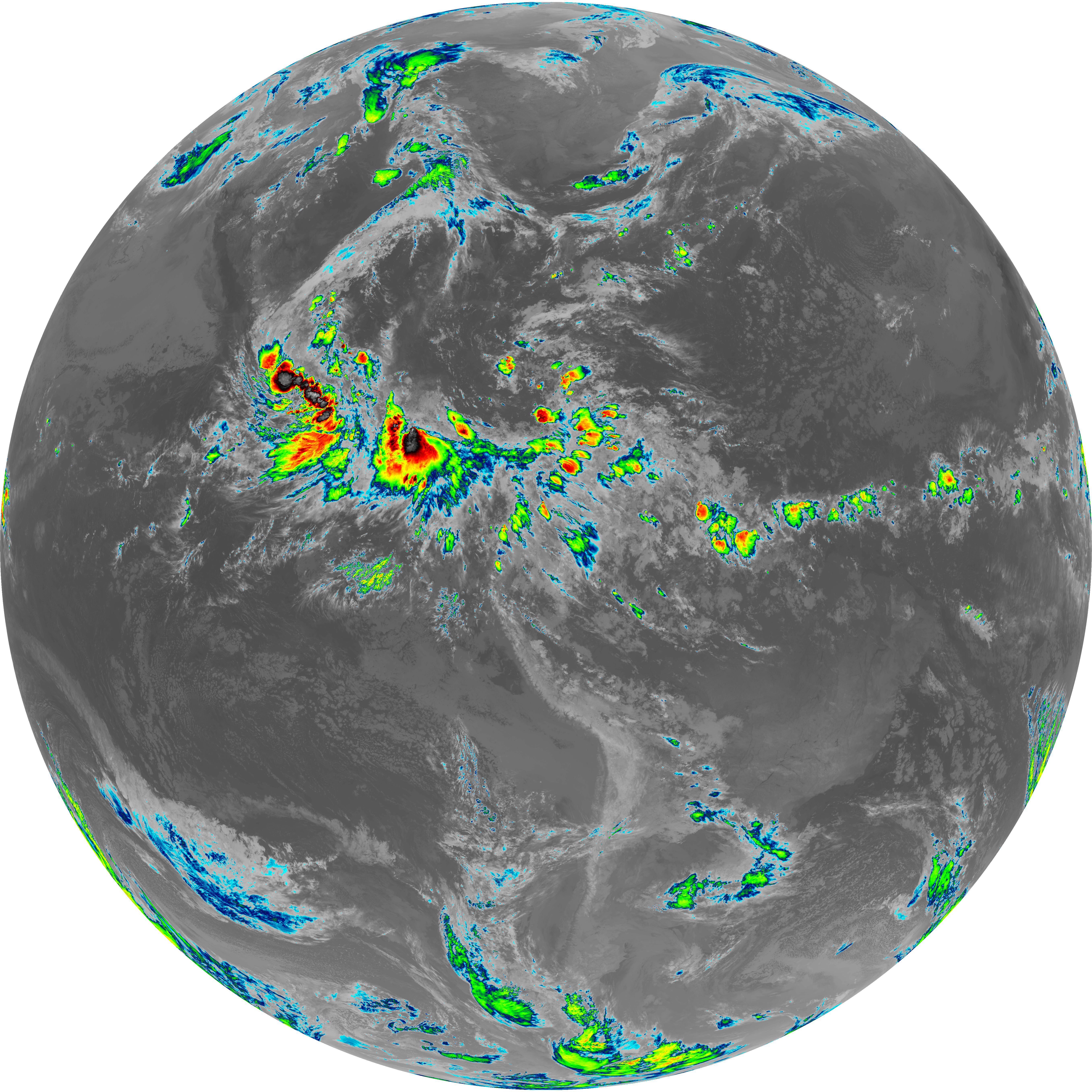
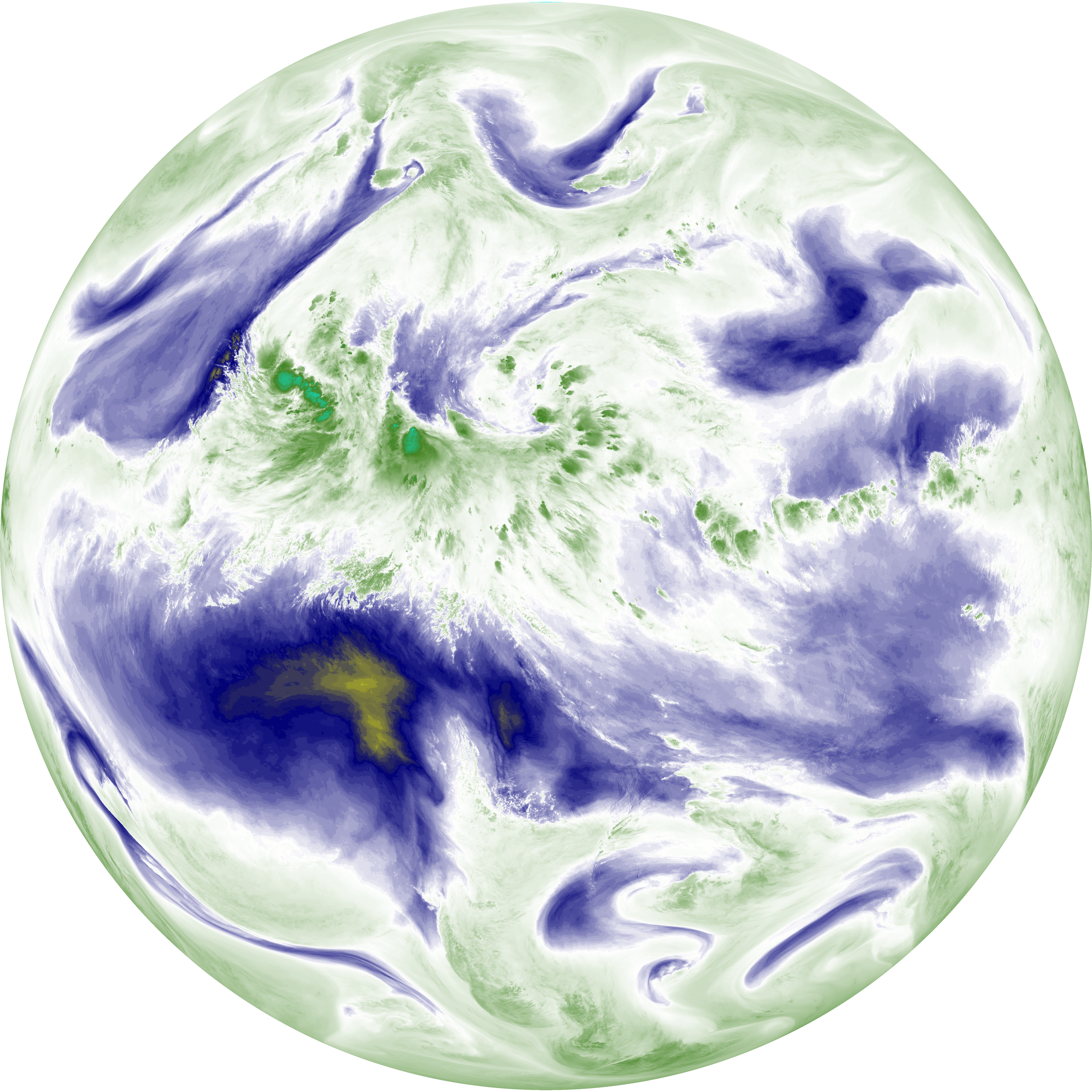
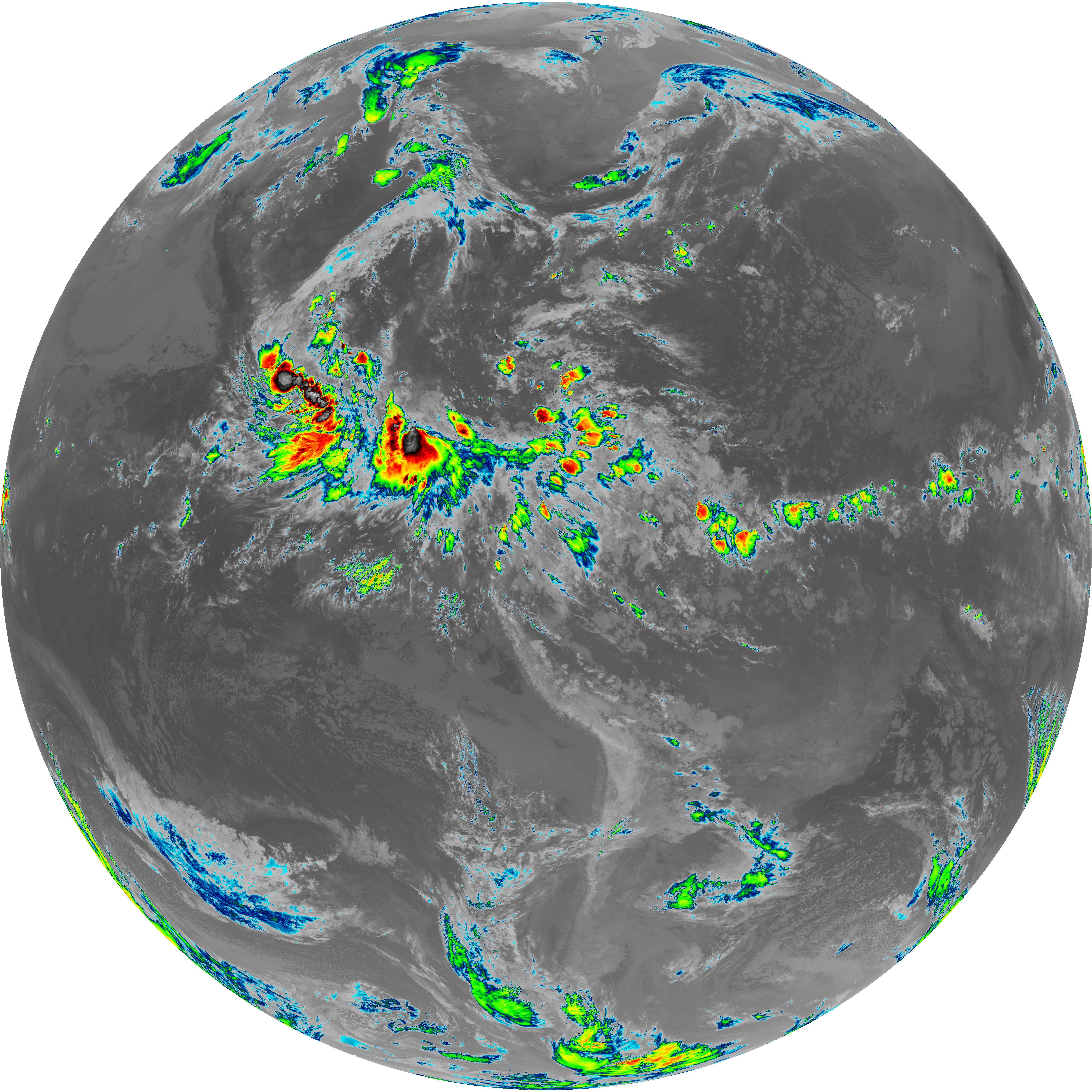
| abi_rgb_Upper-Level_Tropospheric_Water_Vapor.png | 7312036 | 2026-Jun-08 08:49 |
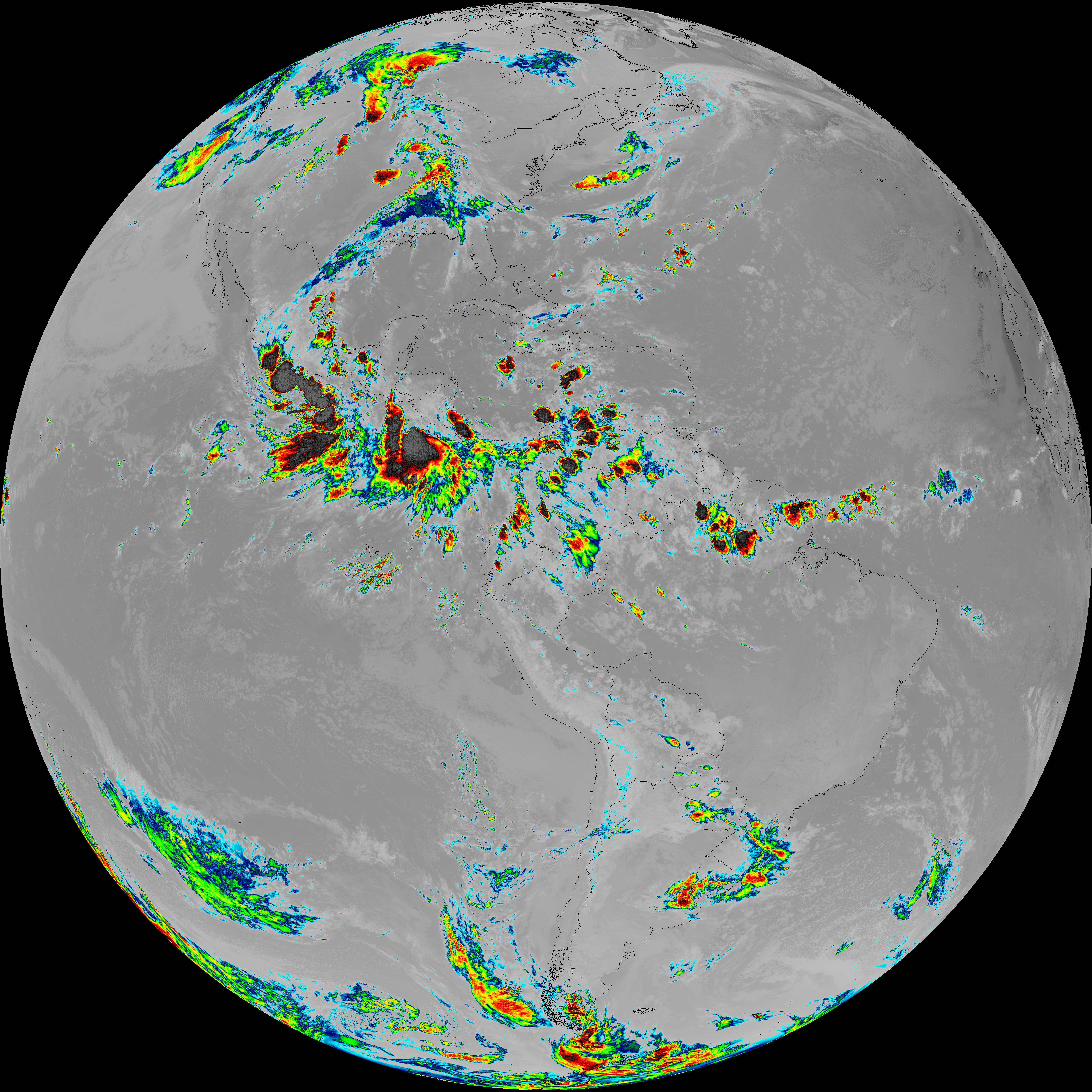
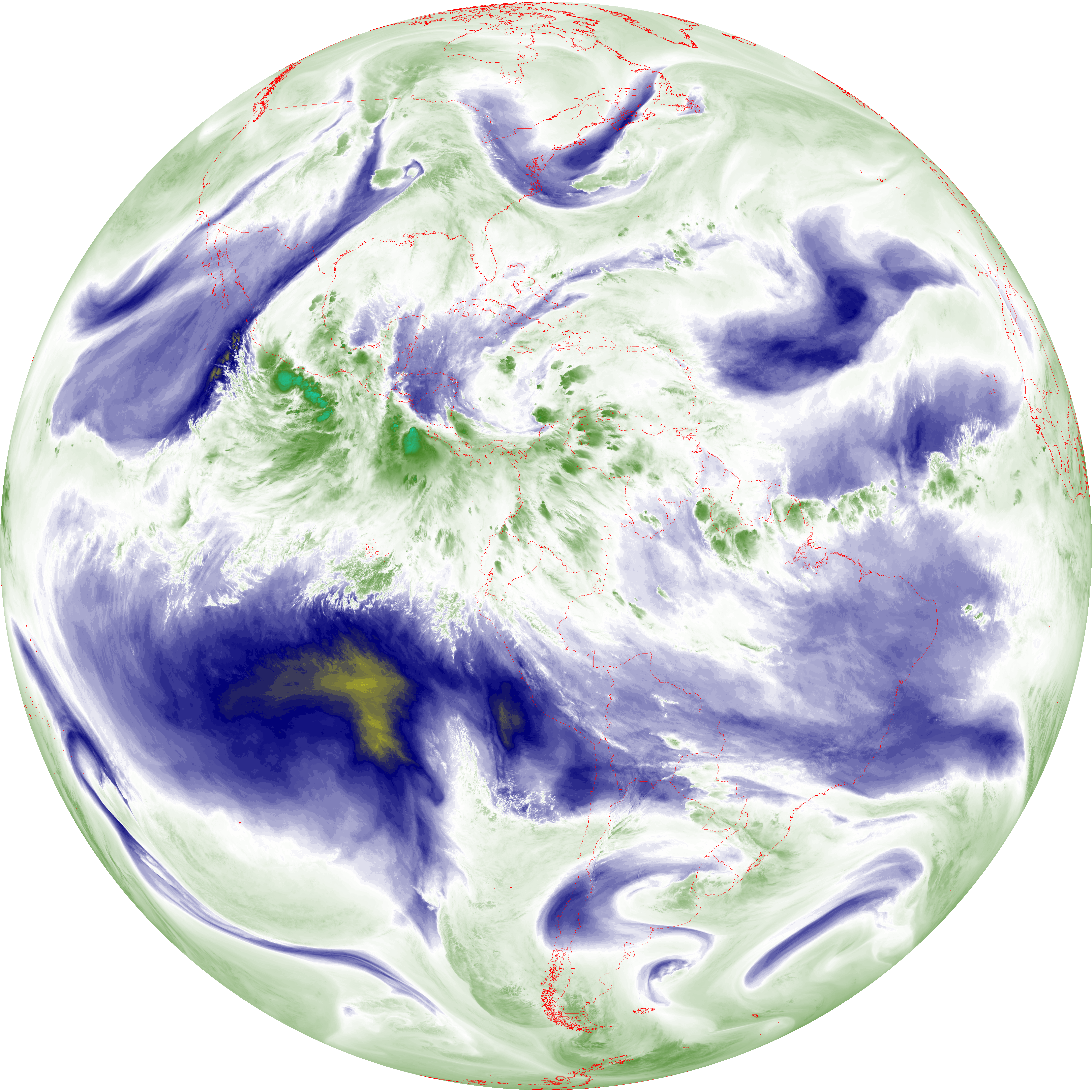
| abi_rgb_Upper-Level_Tropospheric_Water_Vapor_map.png | 7426163 | 2026-Jun-08 08:49 |
| G19_9_20260608T083021Z.png | 6301763 | 2026-Jun-08 08:50 |
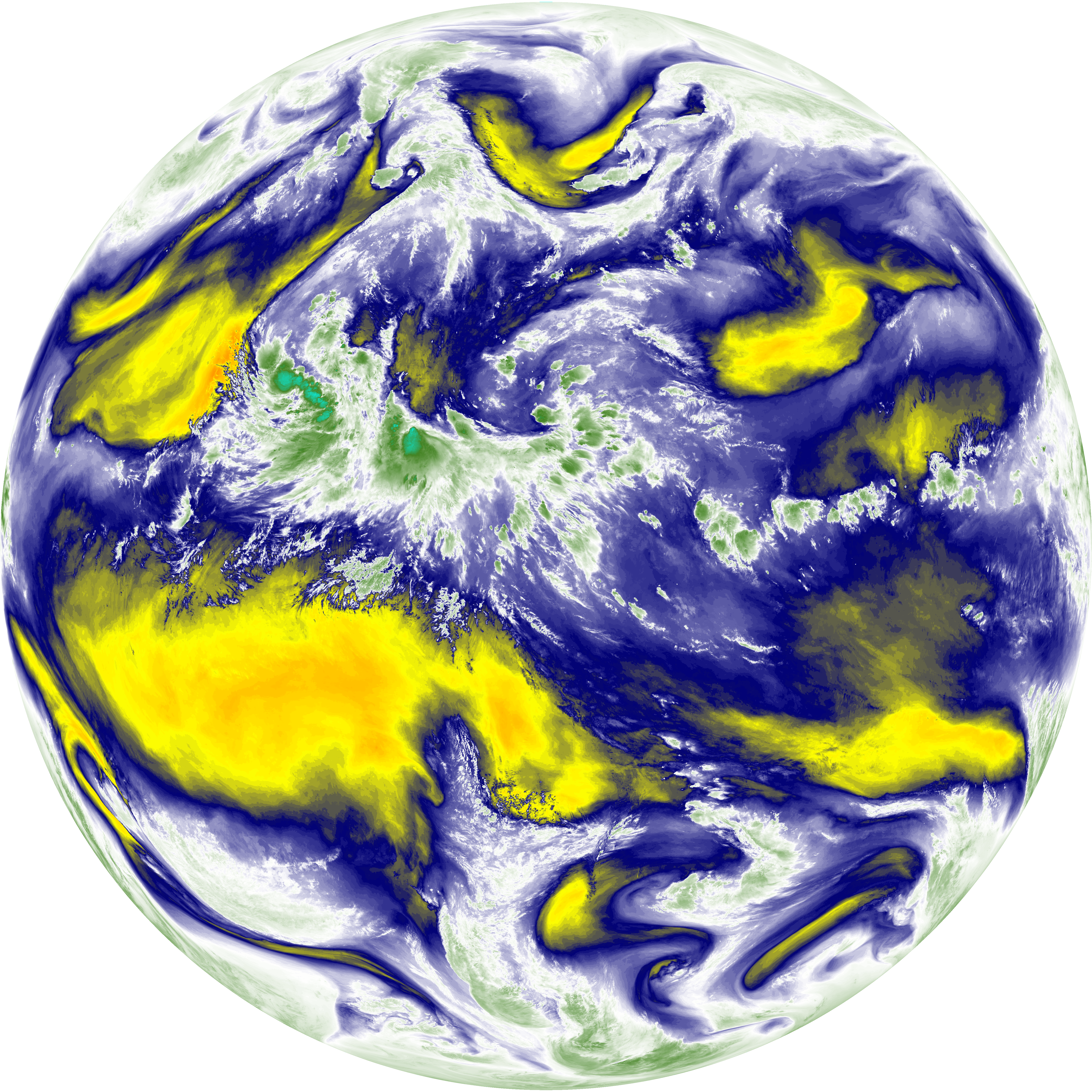
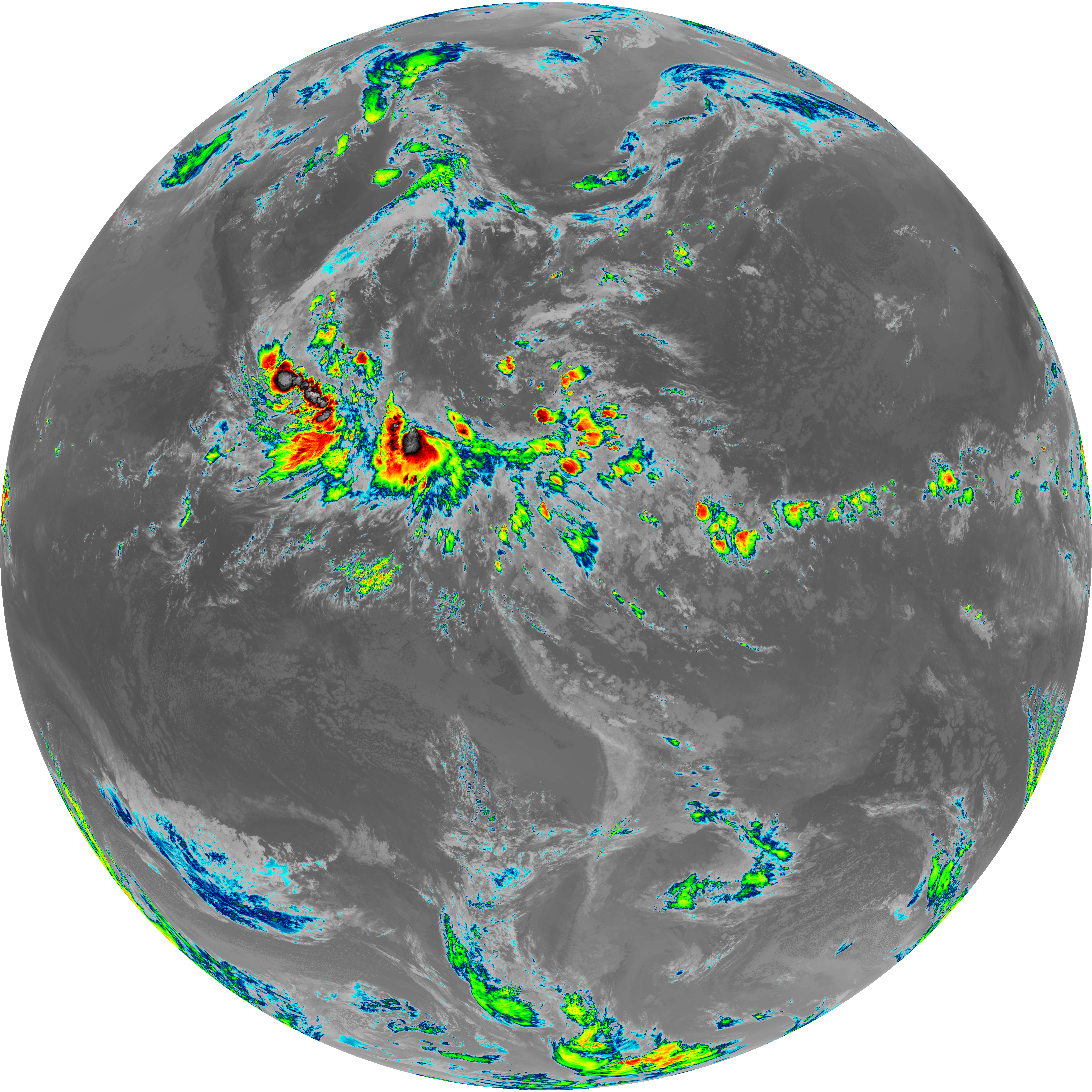
| abi_rgb_Mid-level_Tropospheric_Water_Vapor.png | 8505584 | 2026-Jun-08 08:51 |
| abi_rgb_Mid-level_Tropospheric_Water_Vapor_map.png | 8610787 | 2026-Jun-08 08:51 |
| G19_14_20260608T083021Z.png | 10302704 | 2026-Jun-08 08:53 |
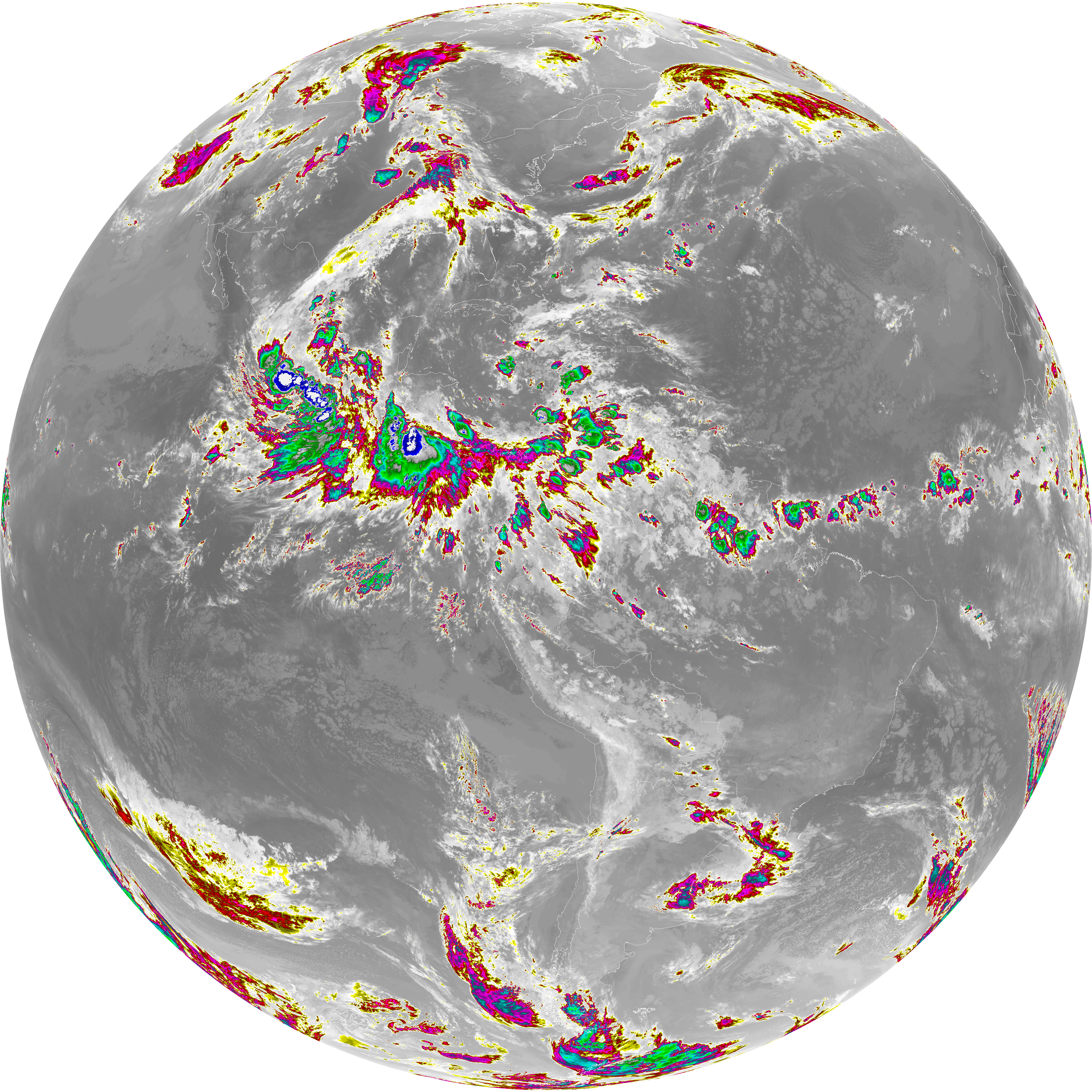
| abi_rgb_Infrared_Longwave_Window_Band.png | 13816663 | 2026-Jun-08 08:54 |
| abi_rgb_Infrared_Longwave_Window_Band_map.png | 13860953 | 2026-Jun-08 08:54 |
| G19_15_20260608T083021Z.png | 10027545 | 2026-Jun-08 08:56 |
| abi_rgb_Dirty_Longwave_Window.png | 13490583 | 2026-Jun-08 08:57 |
| abi_rgb_Dirty_Longwave_Window_map.png | 13539193 | 2026-Jun-08 08:57 |
| abi_rgb_Dirty_Longwave_Window_-_CIRA.png | 11780657 | 2026-Jun-08 08:57 |
| abi_rgb_Dirty_Longwave_Window_-_CIRA_map.png | 11842760 | 2026-Jun-08 08:57 |