| Parent directory/ | - | - |
| abi_rgb_Upper-Level_Tropospheric_Water_Vapor_map.png | 7429021 | 2026-Jun-08 09:19 |
| abi_rgb_Upper-Level_Tropospheric_Water_Vapor.png | 7314831 | 2026-Jun-08 09:19 |
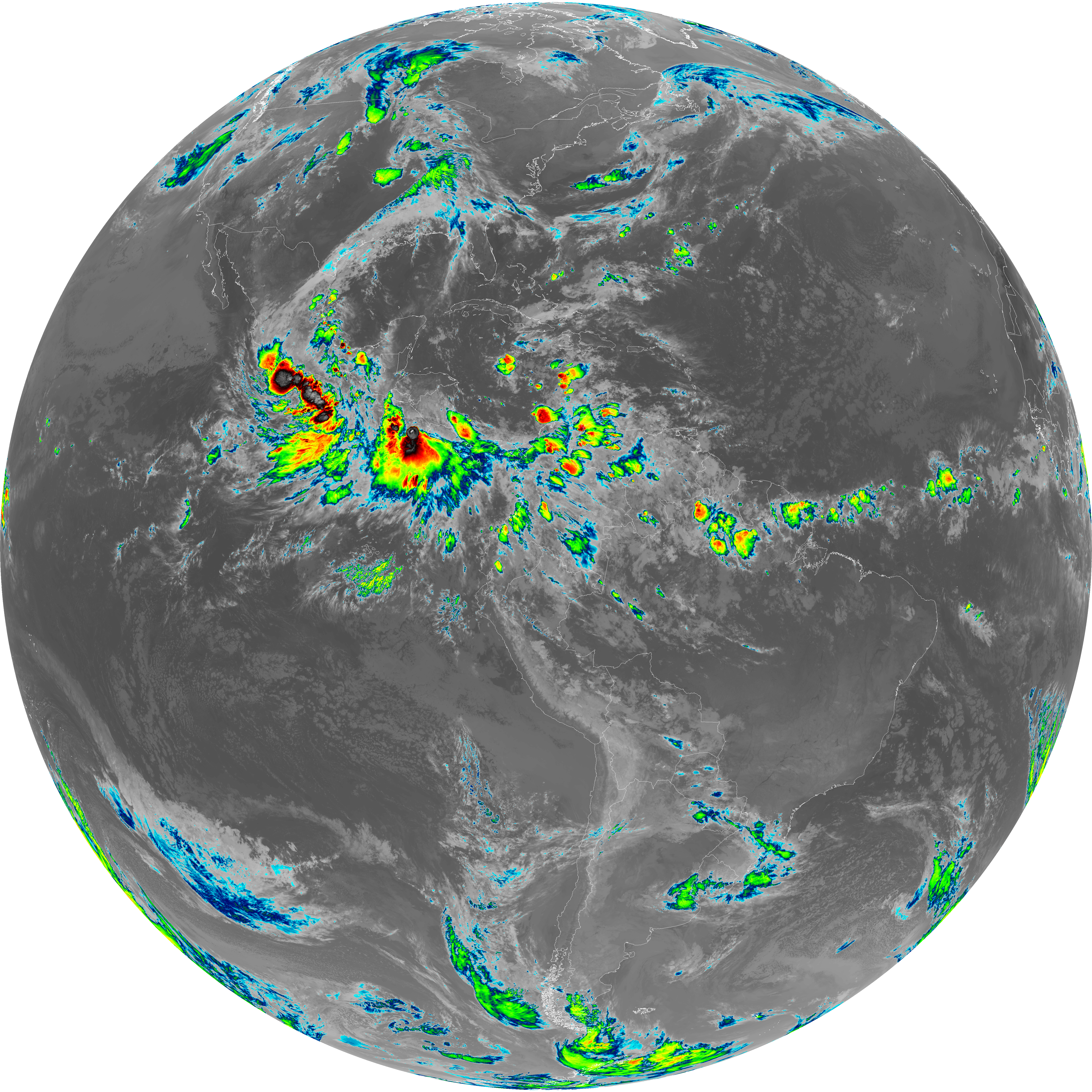
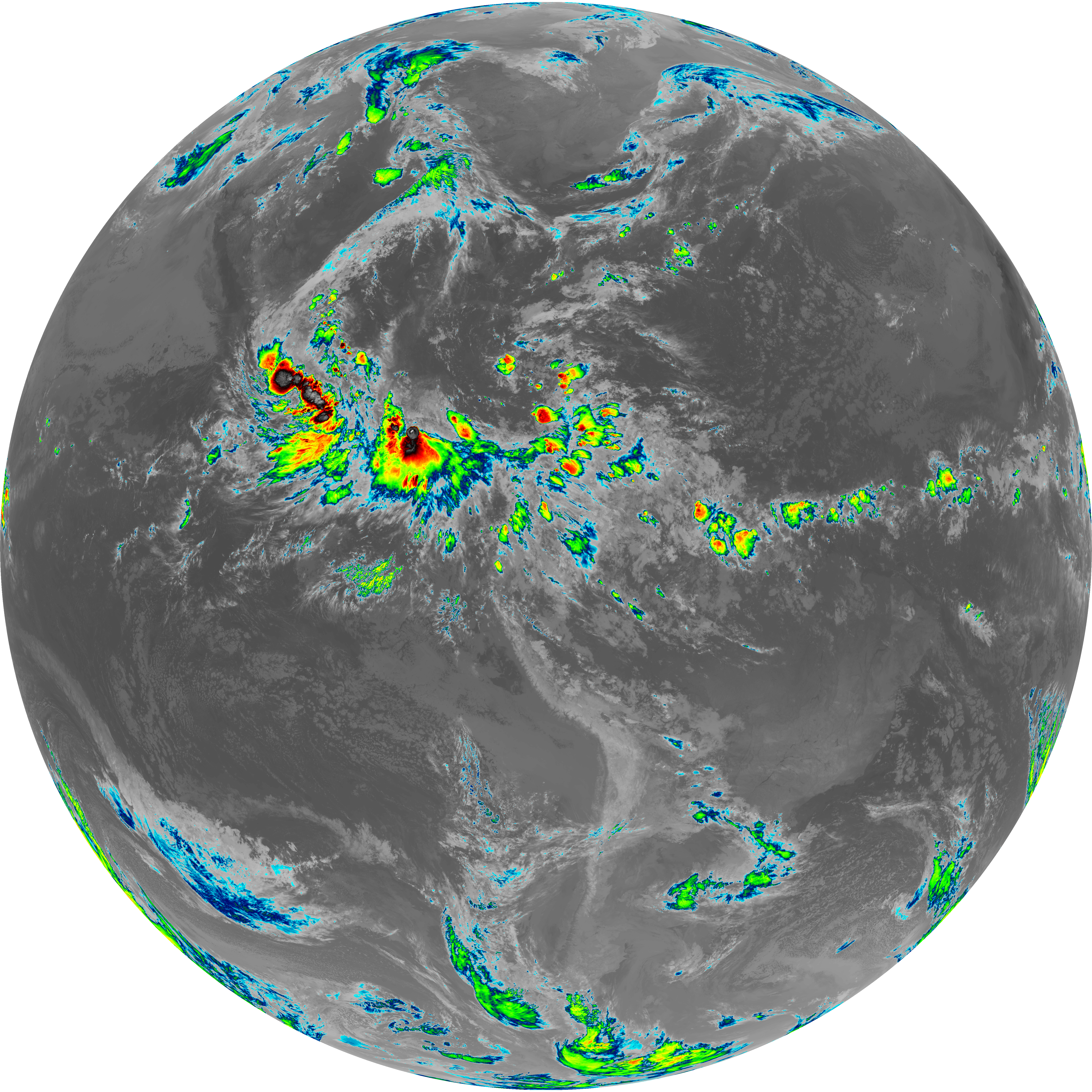
| abi_rgb_Shortwave_Window_Band_map.png | 15153786 | 2026-Jun-08 09:13 |
| abi_rgb_Shortwave_Window_Band.png | 15099233 | 2026-Jun-08 09:13 |
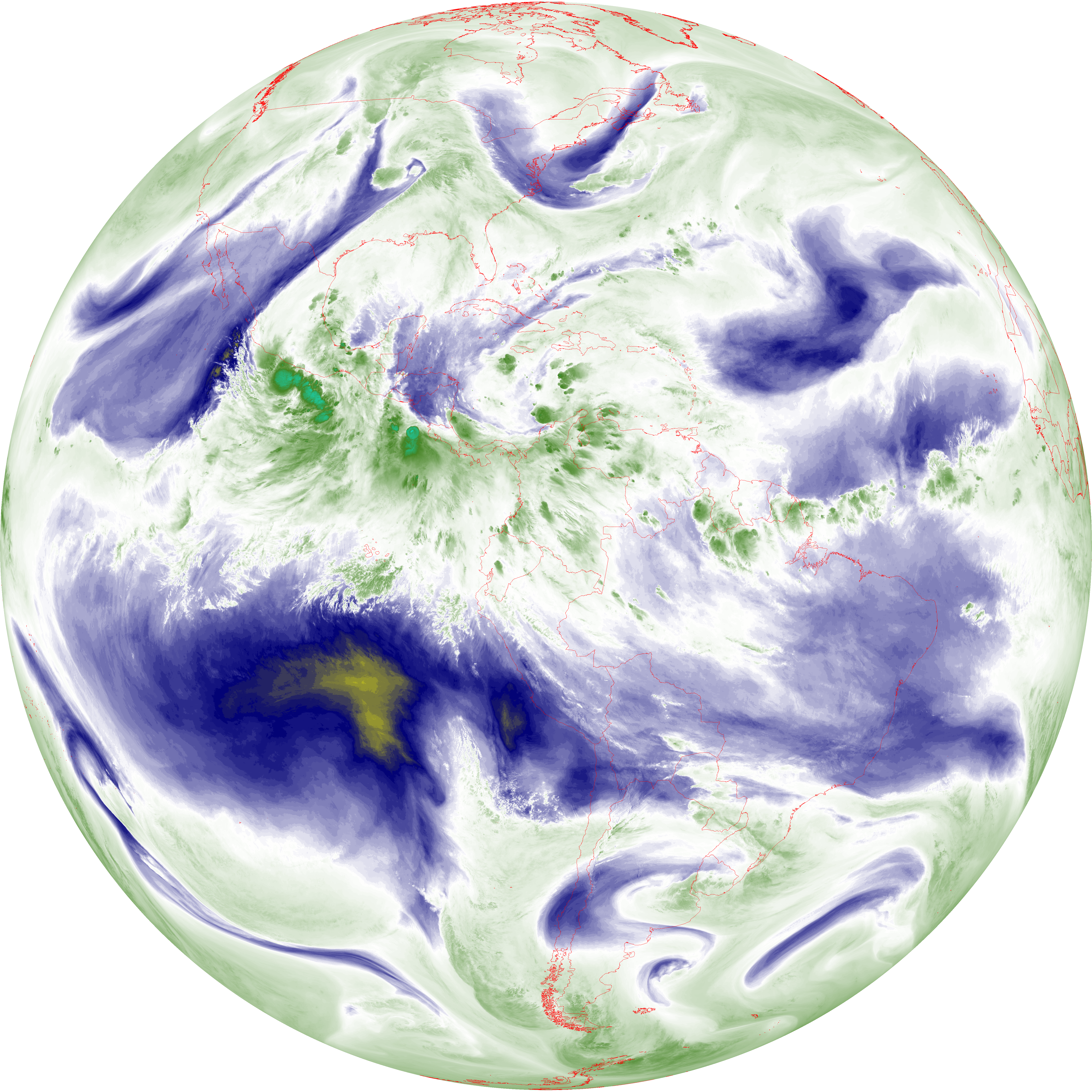
| abi_rgb_Mid-level_Tropospheric_Water_Vapor_map.png | 8606313 | 2026-Jun-08 09:21 |
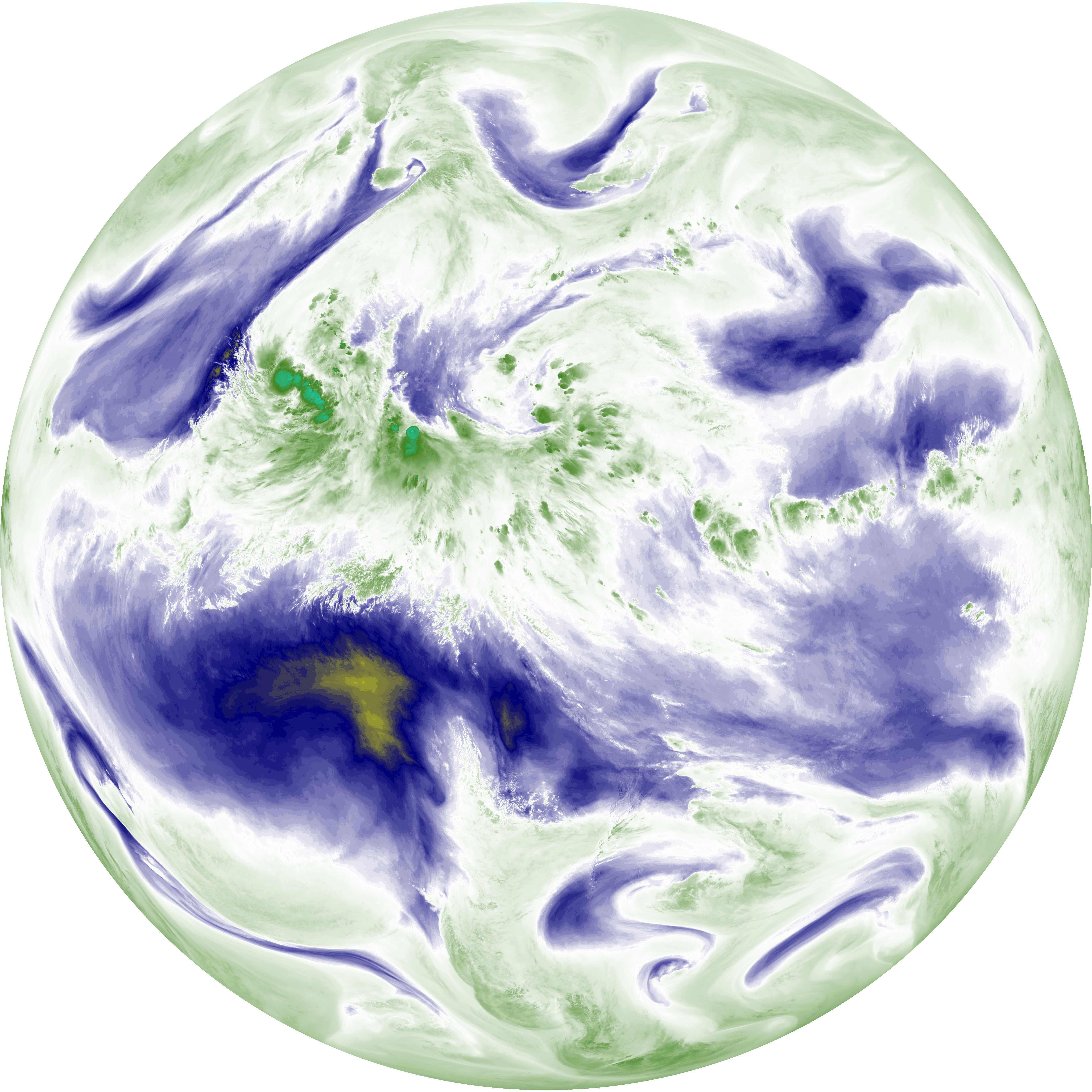
| abi_rgb_Mid-level_Tropospheric_Water_Vapor.png | 8500609 | 2026-Jun-08 09:21 |
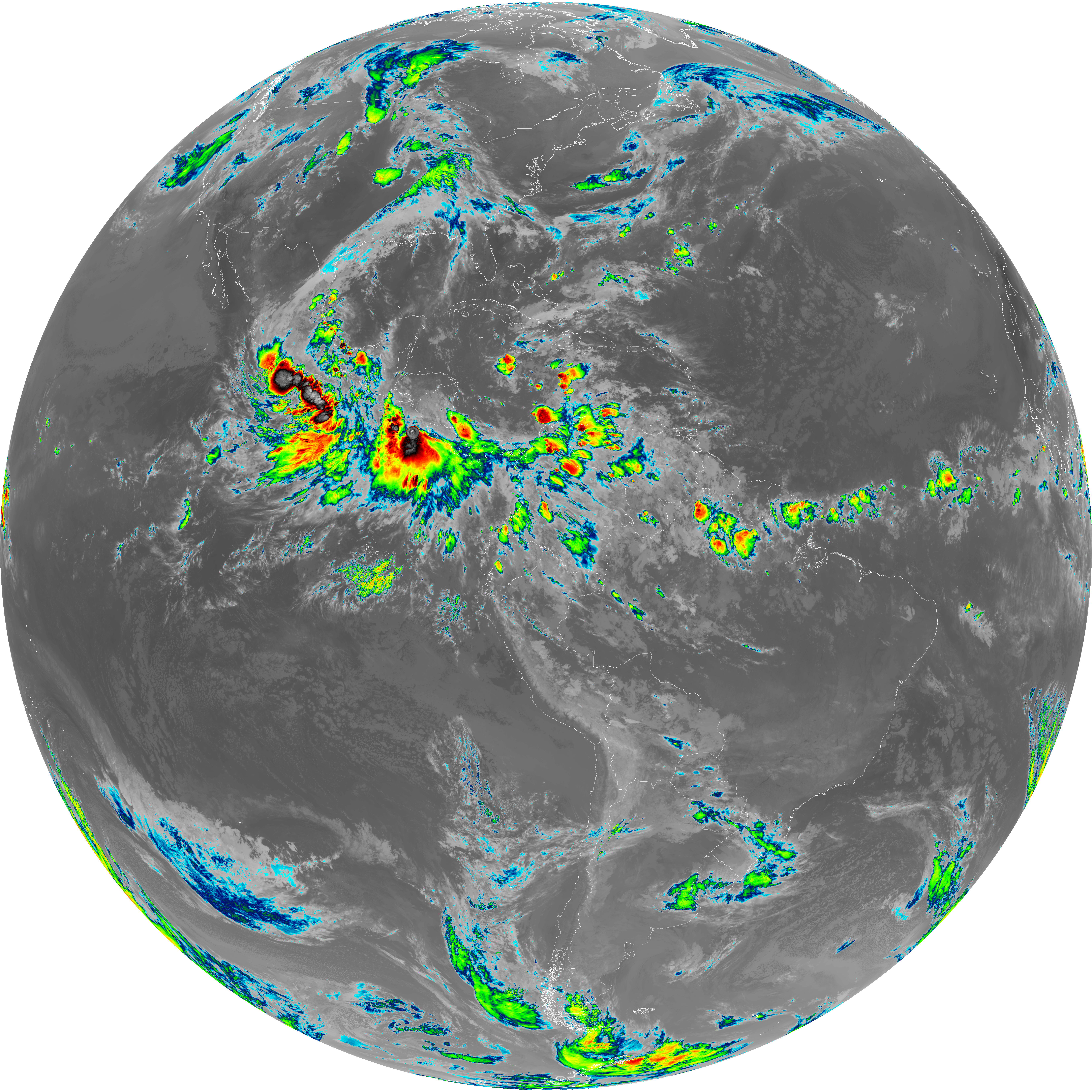
| abi_rgb_Infrared_Longwave_Window_Band_map.png | 13853276 | 2026-Jun-08 09:24 |
| abi_rgb_Infrared_Longwave_Window_Band.png | 13808334 | 2026-Jun-08 09:24 |
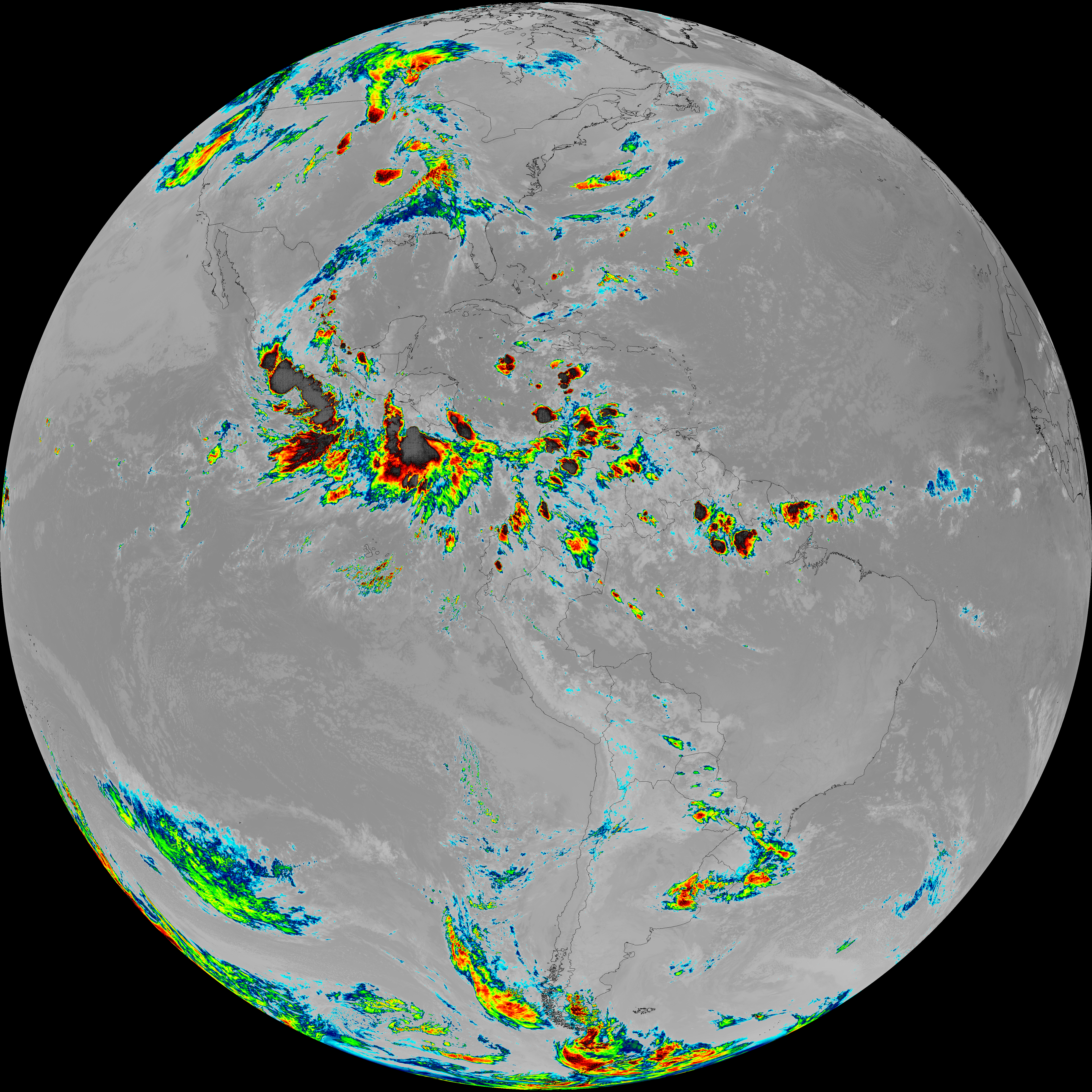
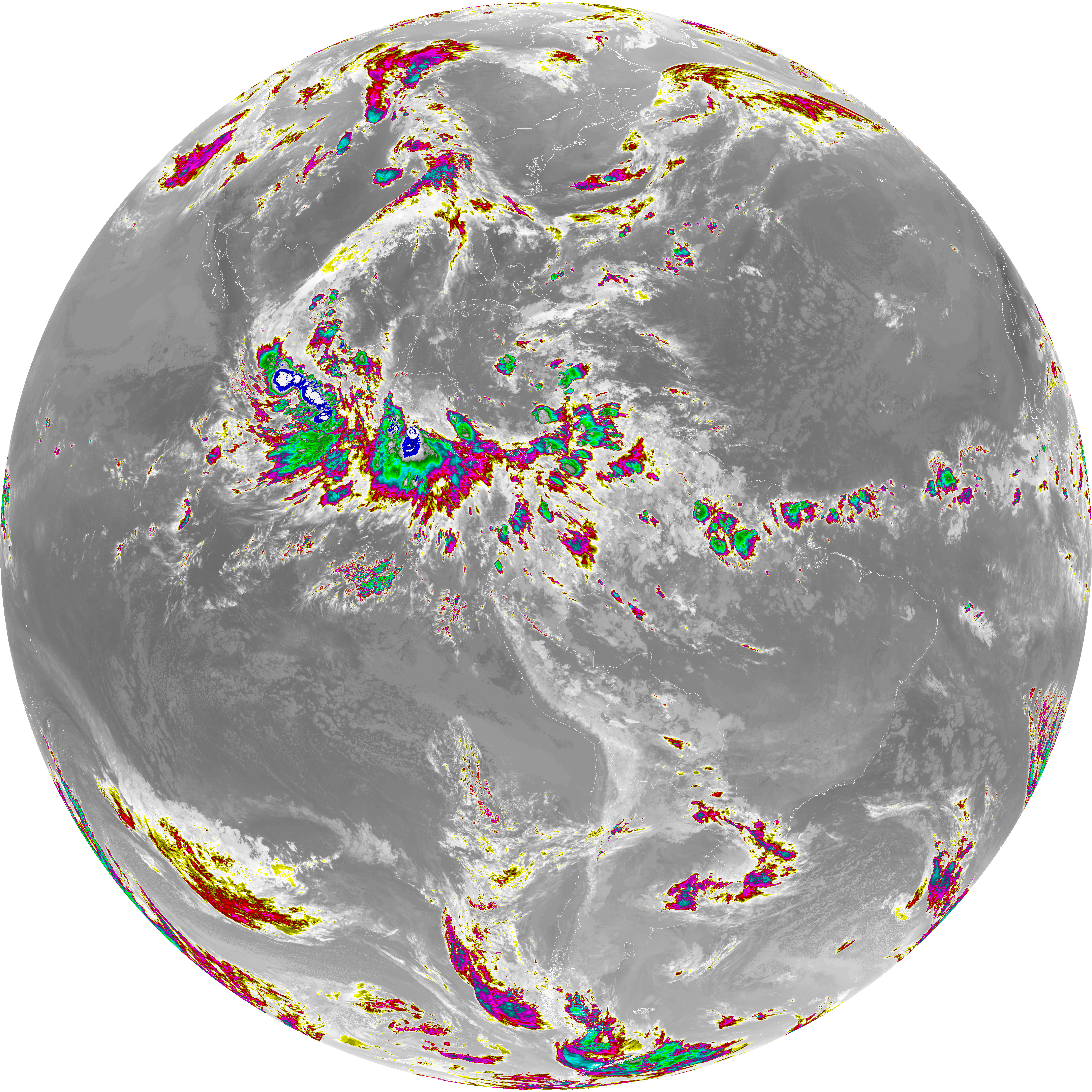
| abi_rgb_Dirty_Longwave_Window_map.png | 13528612 | 2026-Jun-08 09:27 |
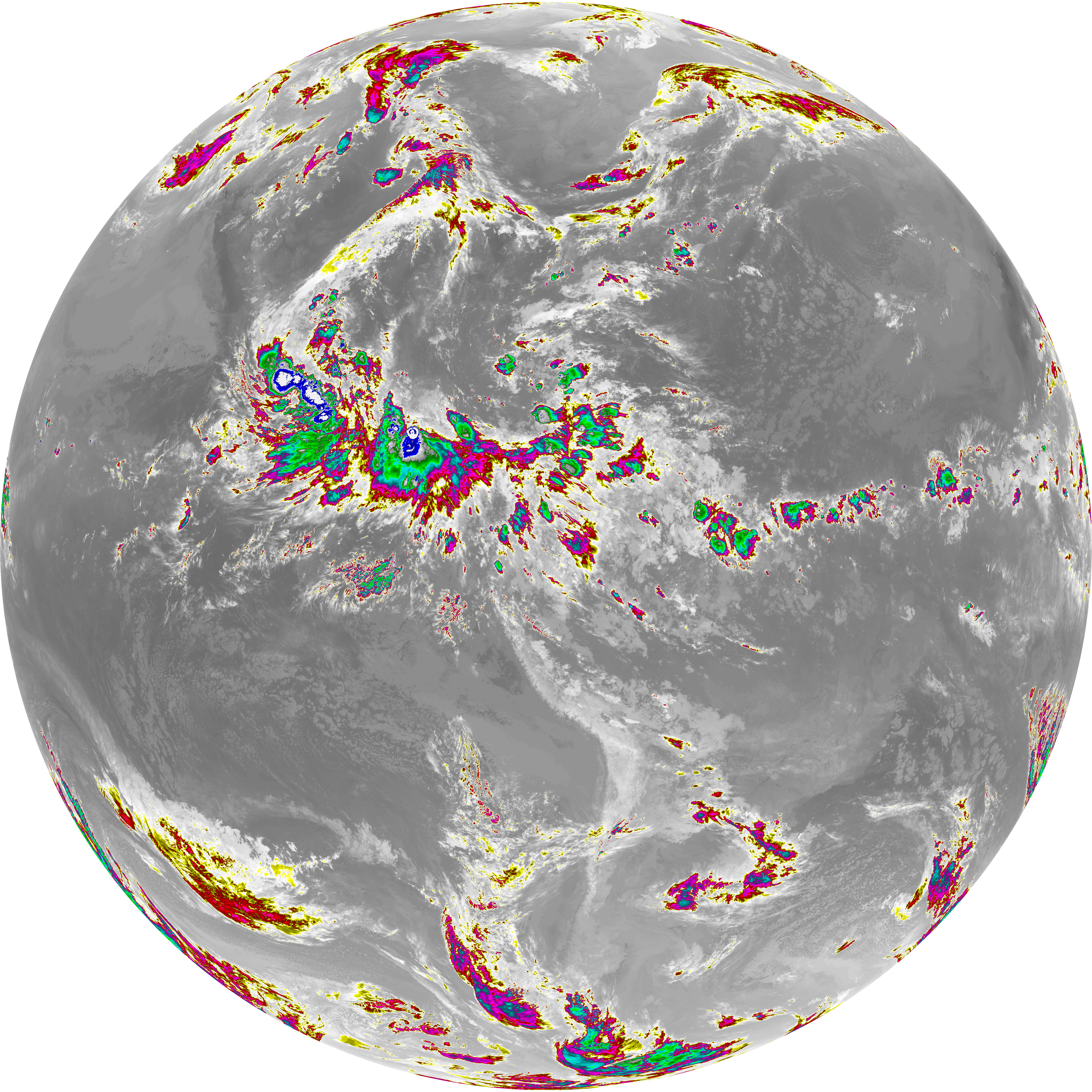
| abi_rgb_Dirty_Longwave_Window_-_CIRA_map.png | 11828505 | 2026-Jun-08 09:28 |
| abi_rgb_Dirty_Longwave_Window_-_CIRA.png | 11766022 | 2026-Jun-08 09:28 |
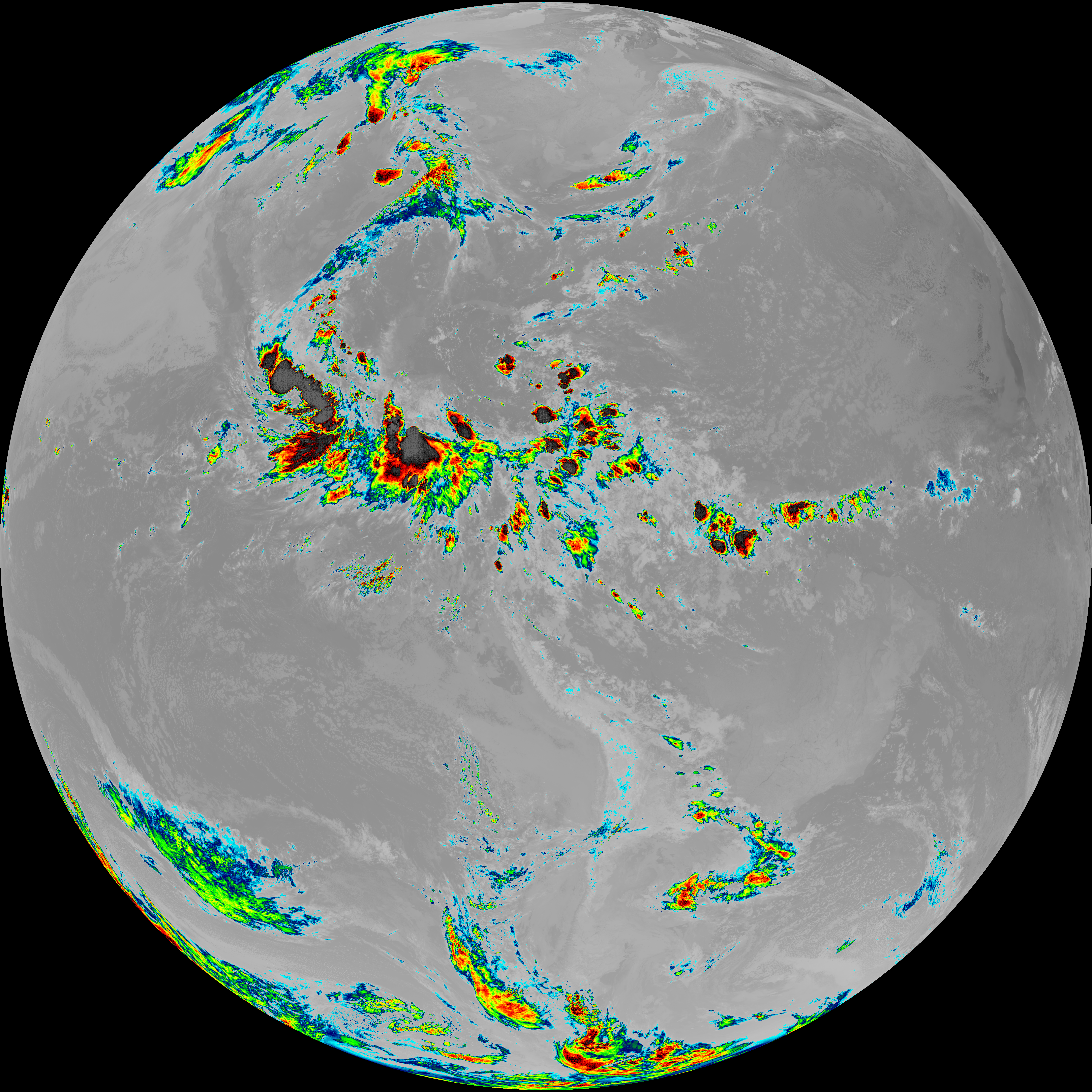
| abi_rgb_Dirty_Longwave_Window.png | 13479588 | 2026-Jun-08 09:27 |
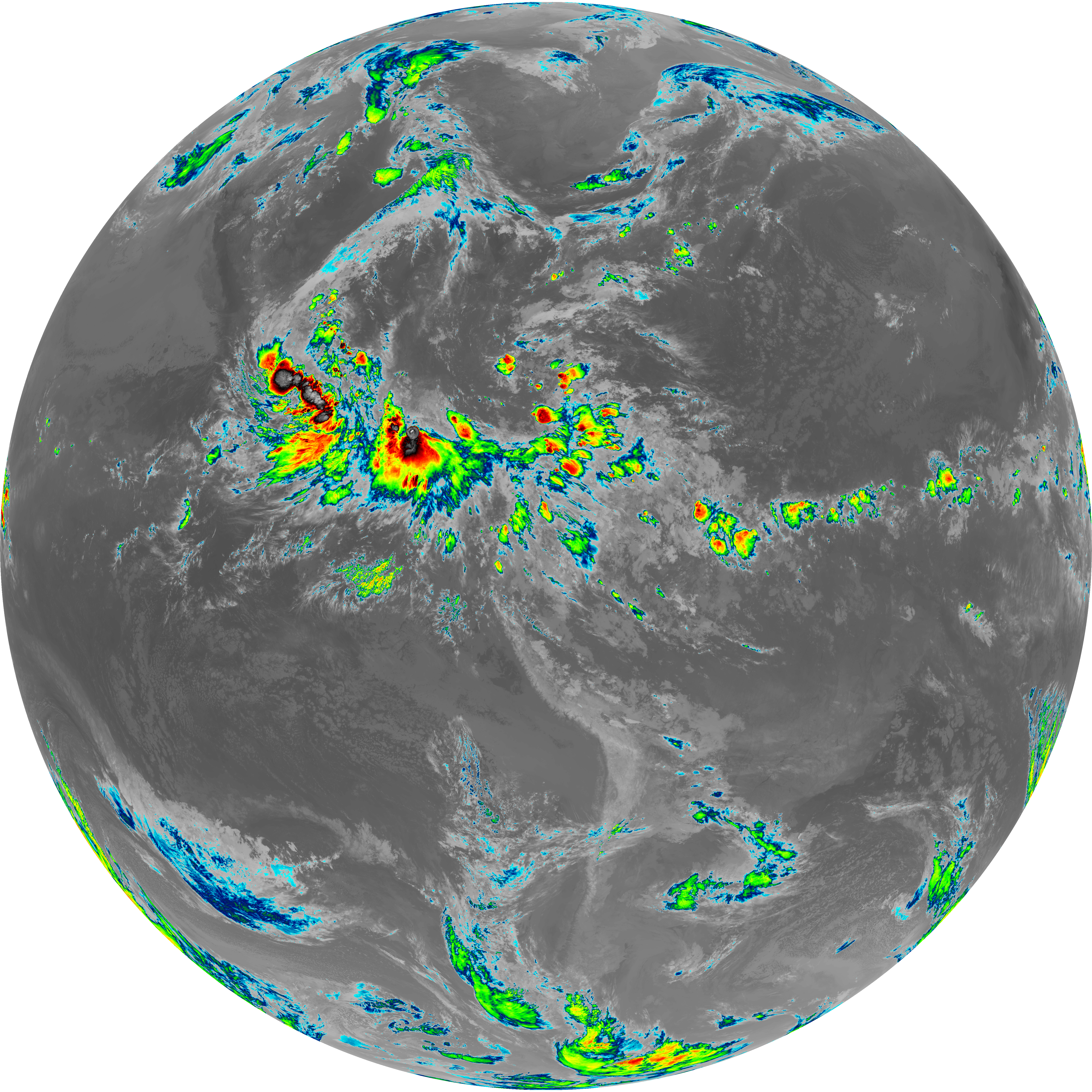
| abi_rgb_Clean_Longwave_IR_Window_Band_map.png | 13706912 | 2026-Jun-08 09:16 |
| abi_rgb_Clean_Longwave_IR_Window_Band.png | 13661155 | 2026-Jun-08 09:16 |
| G19_9_20260608T090021Z.png | 6299475 | 2026-Jun-08 09:21 |
| G19_8_20260608T090021Z.png | 5463644 | 2026-Jun-08 09:19 |
| G19_7_20260608T090021Z.png | 11168187 | 2026-Jun-08 09:13 |
| G19_2_20260608T090021Z.png | 4004026 | 2026-Jun-08 09:17 |
| G19_15_20260608T090021Z.png | 10014148 | 2026-Jun-08 09:27 |
| G19_14_20260608T090021Z.png | 10294462 | 2026-Jun-08 09:24 |
| G19_13_20260608T090021Z.png | 10164027 | 2026-Jun-08 09:16 |