| Parent directory/ | - | - |
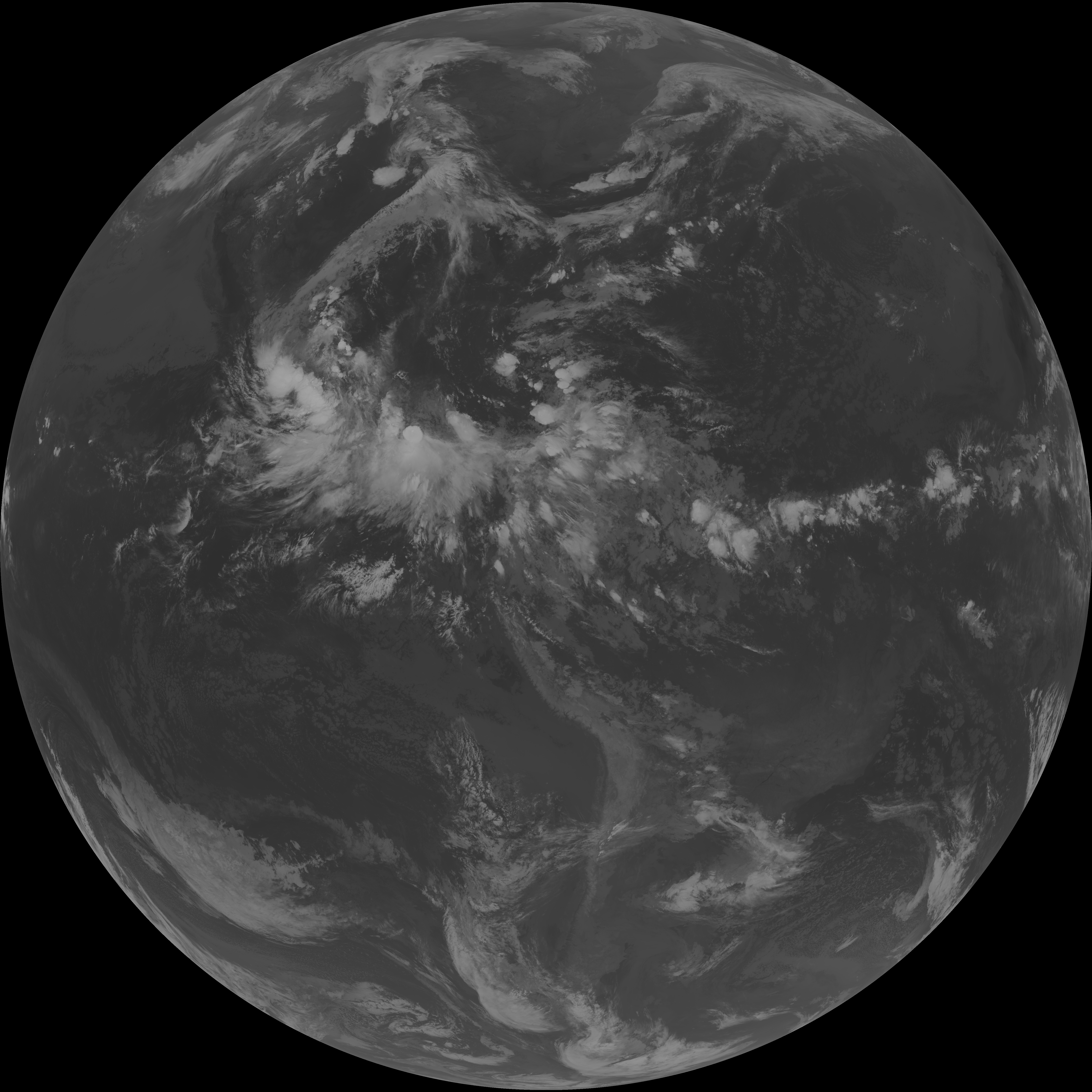
| G19_7_20260608T093021Z.png | 11074646 | 2026-Jun-08 09:43 |
| abi_rgb_Shortwave_Window_Band.png | 14981375 | 2026-Jun-08 09:43 |
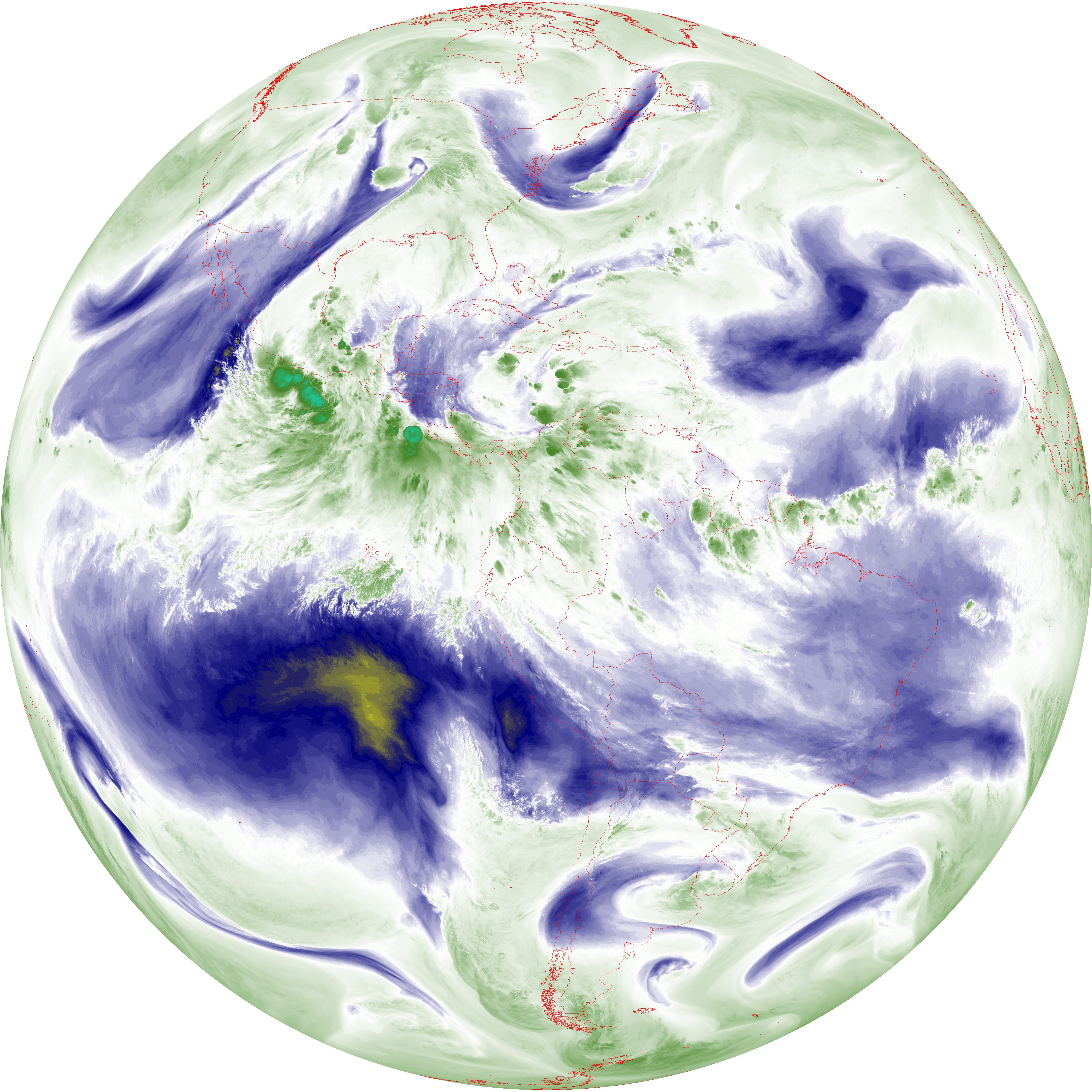
| abi_rgb_Shortwave_Window_Band_map.png | 15037555 | 2026-Jun-08 09:43 |
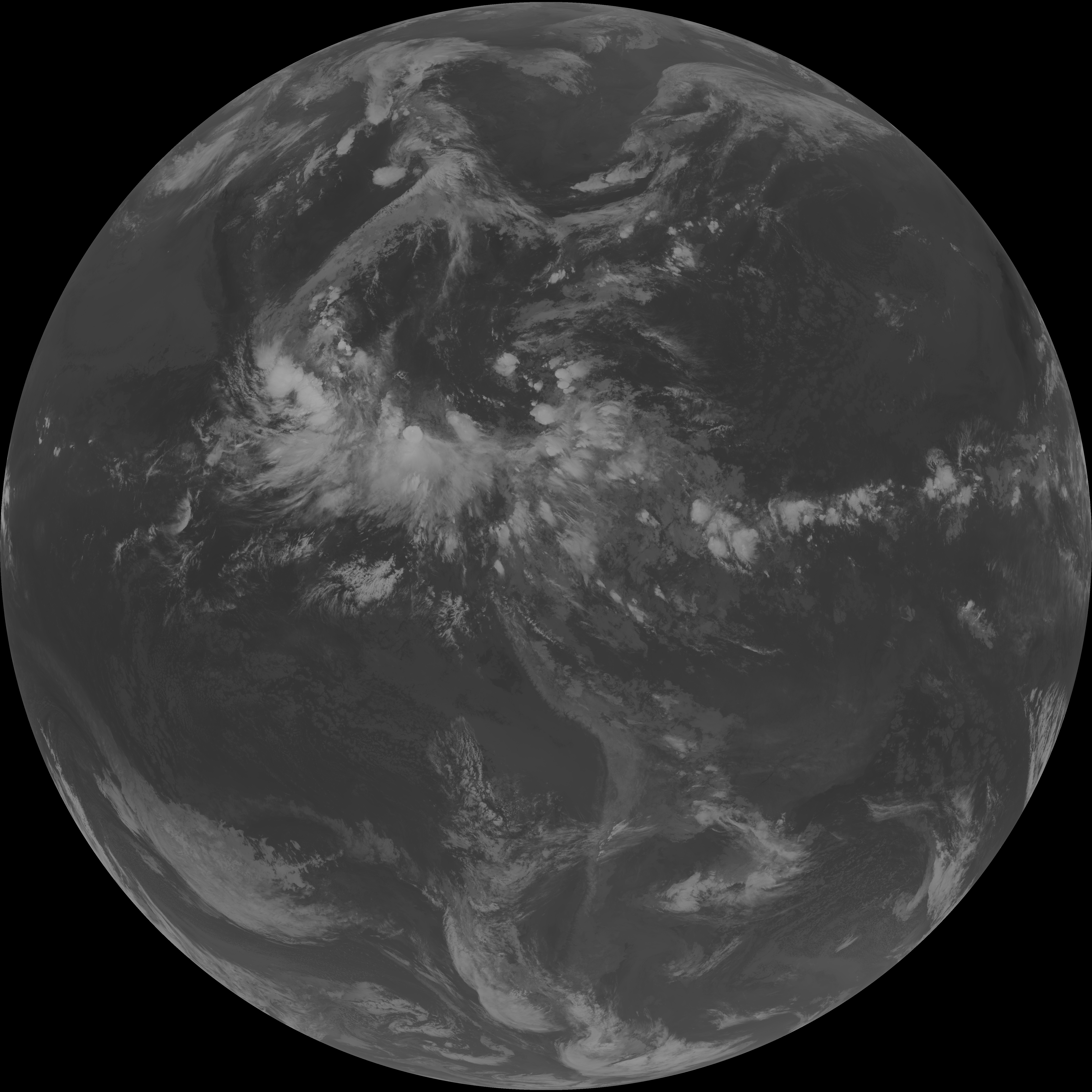
| G19_13_20260608T093021Z.png | 10150989 | 2026-Jun-08 09:46 |
| abi_rgb_Clean_Longwave_IR_Window_Band.png | 13642169 | 2026-Jun-08 09:46 |
| abi_rgb_Clean_Longwave_IR_Window_Band_map.png | 13687554 | 2026-Jun-08 09:46 |
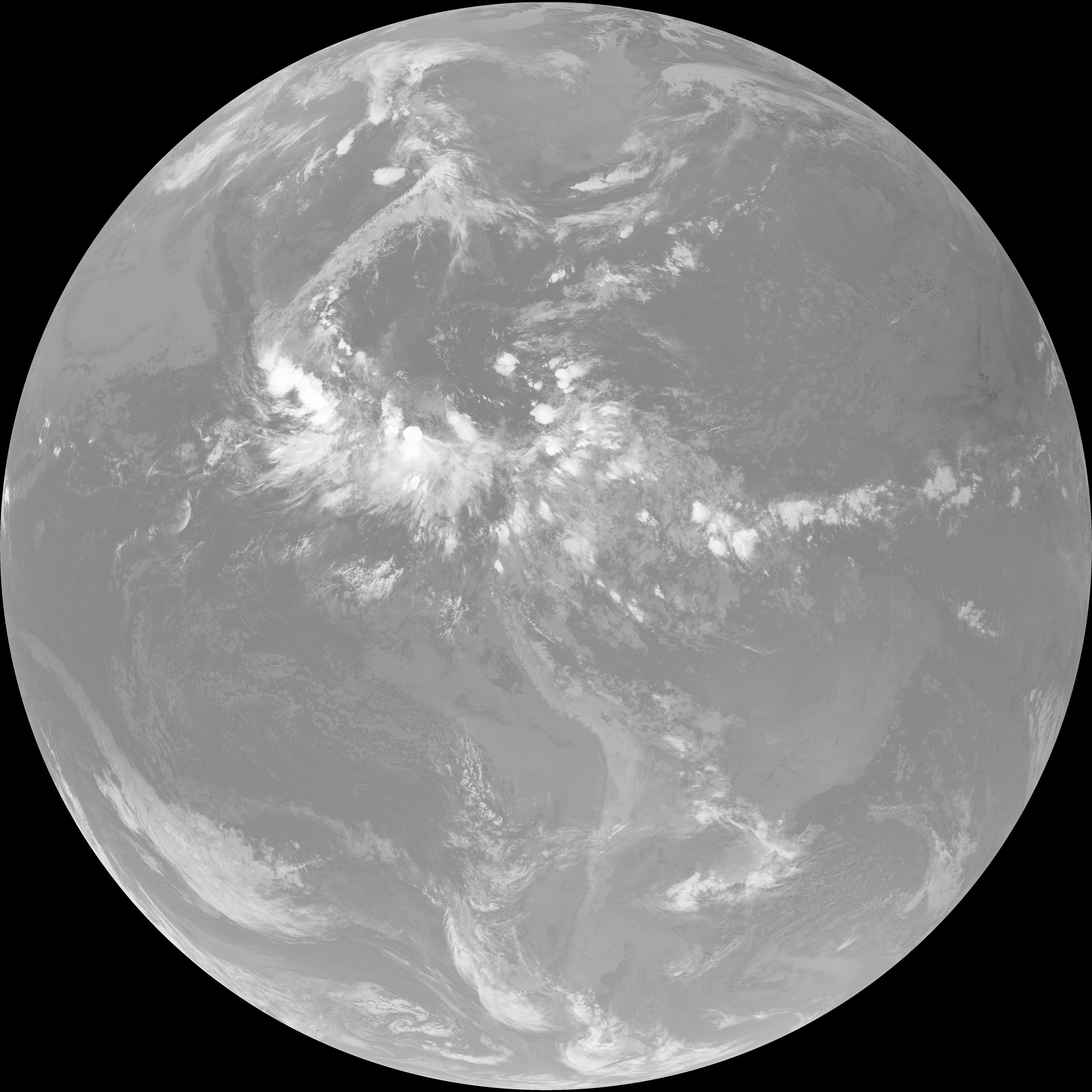
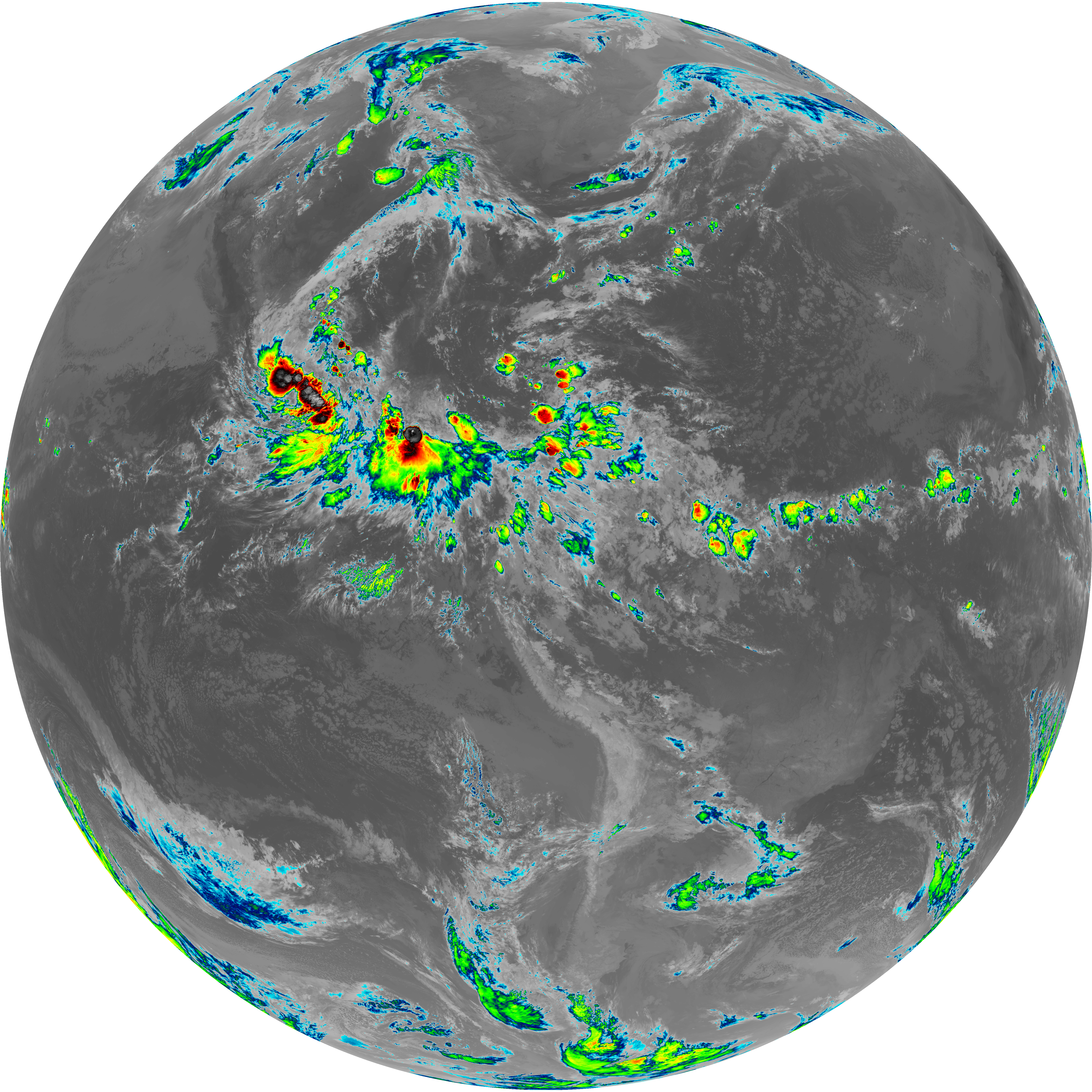
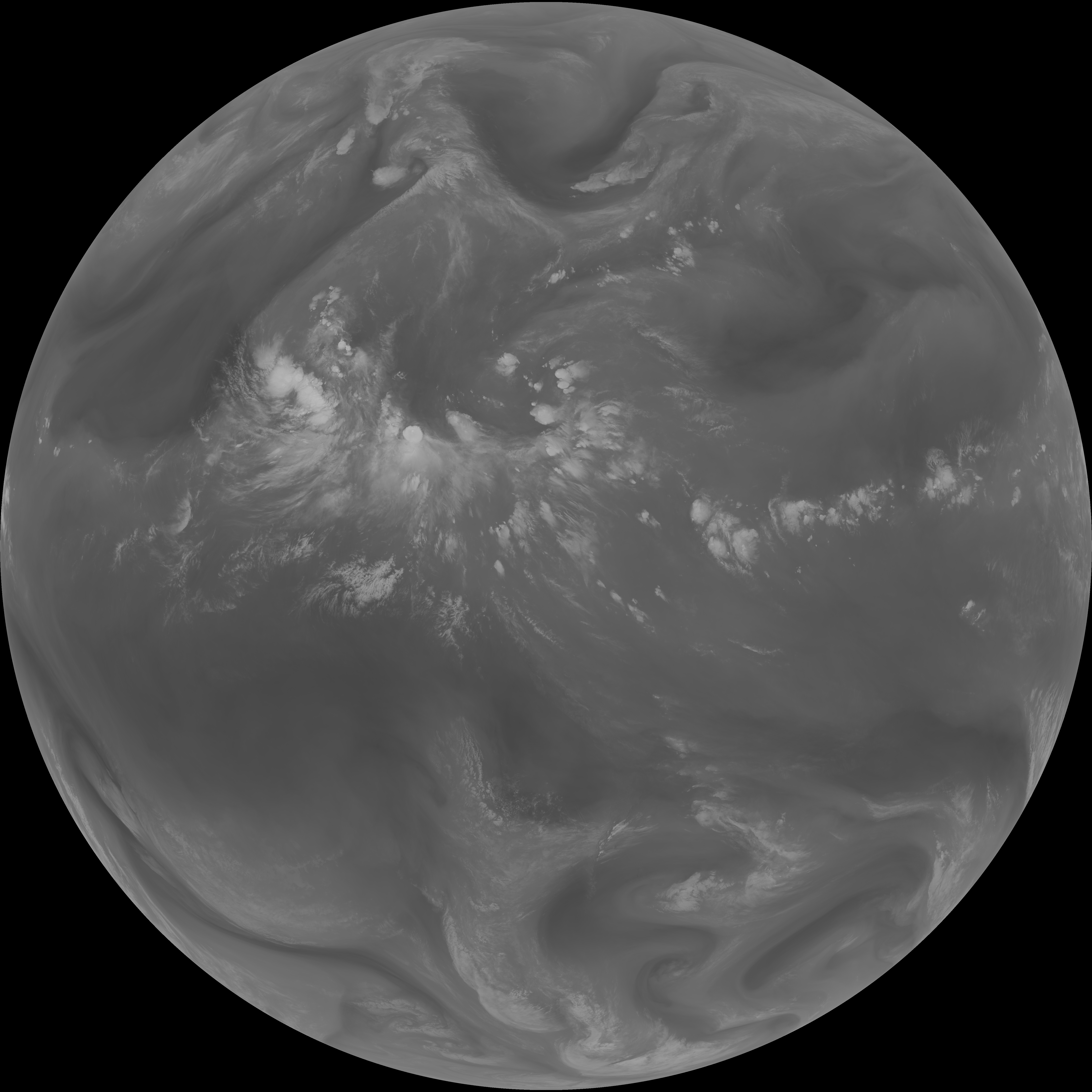
| G19_2_20260608T093021Z.png | 4703965 | 2026-Jun-08 09:47 |
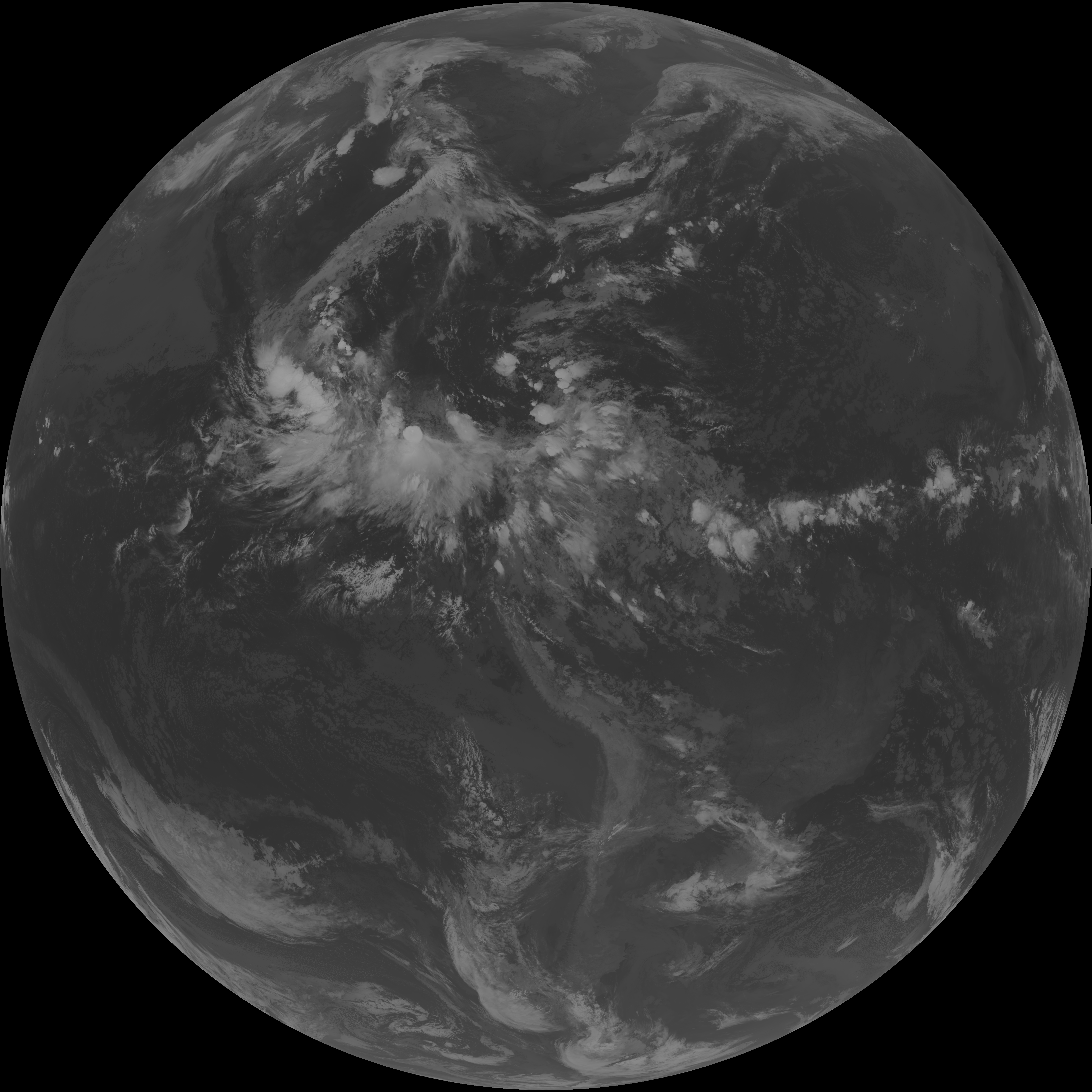
| G19_8_20260608T093021Z.png | 5459759 | 2026-Jun-08 09:49 |
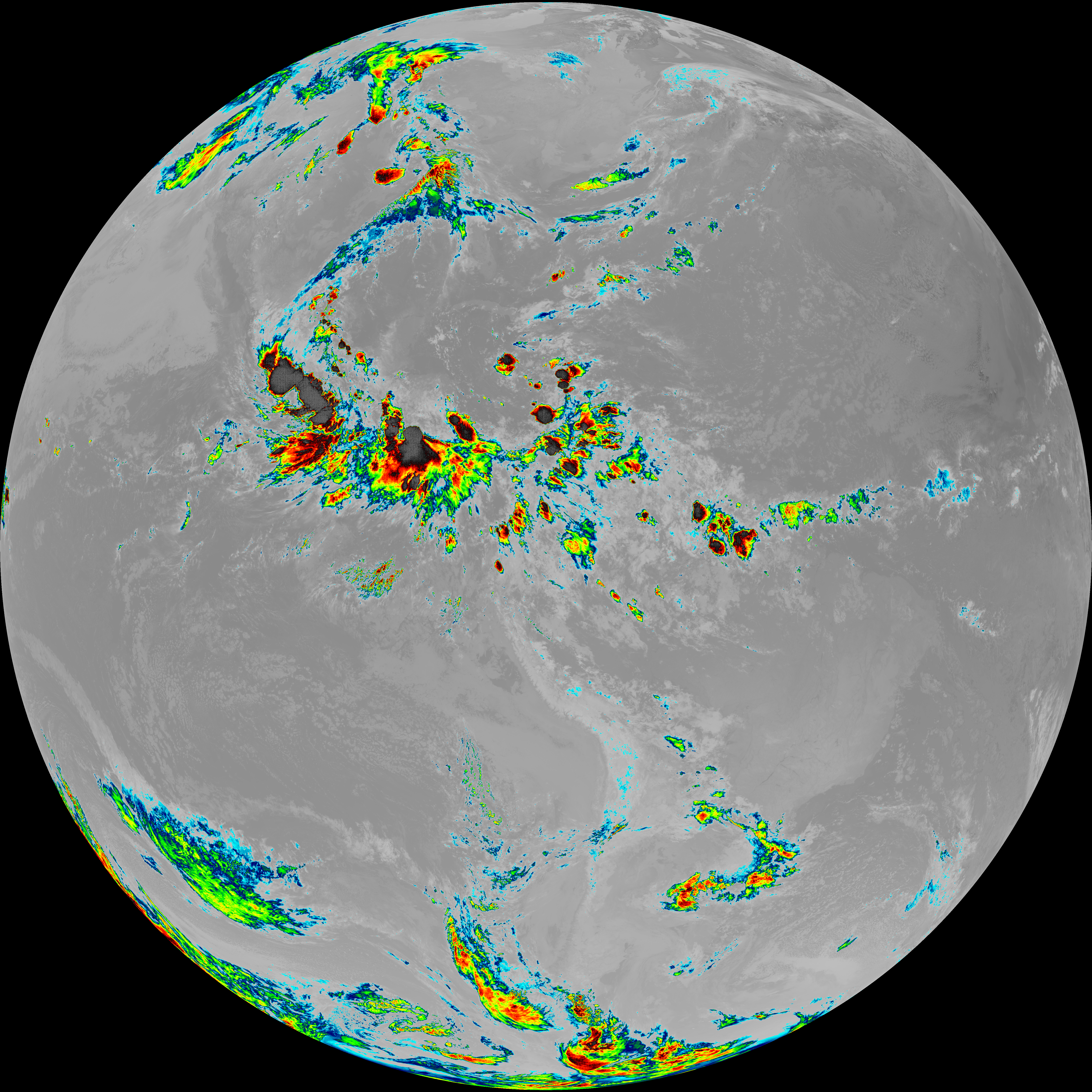
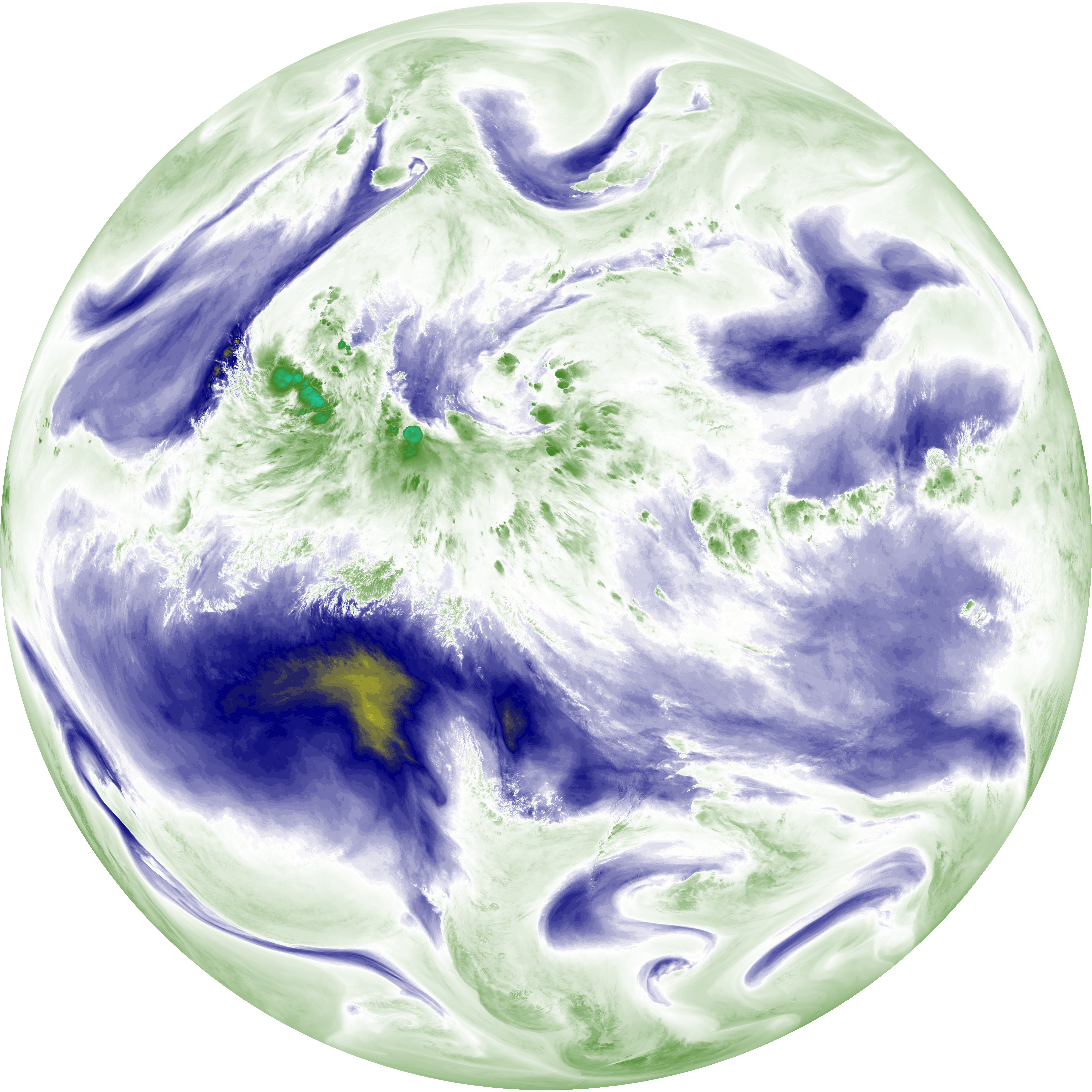
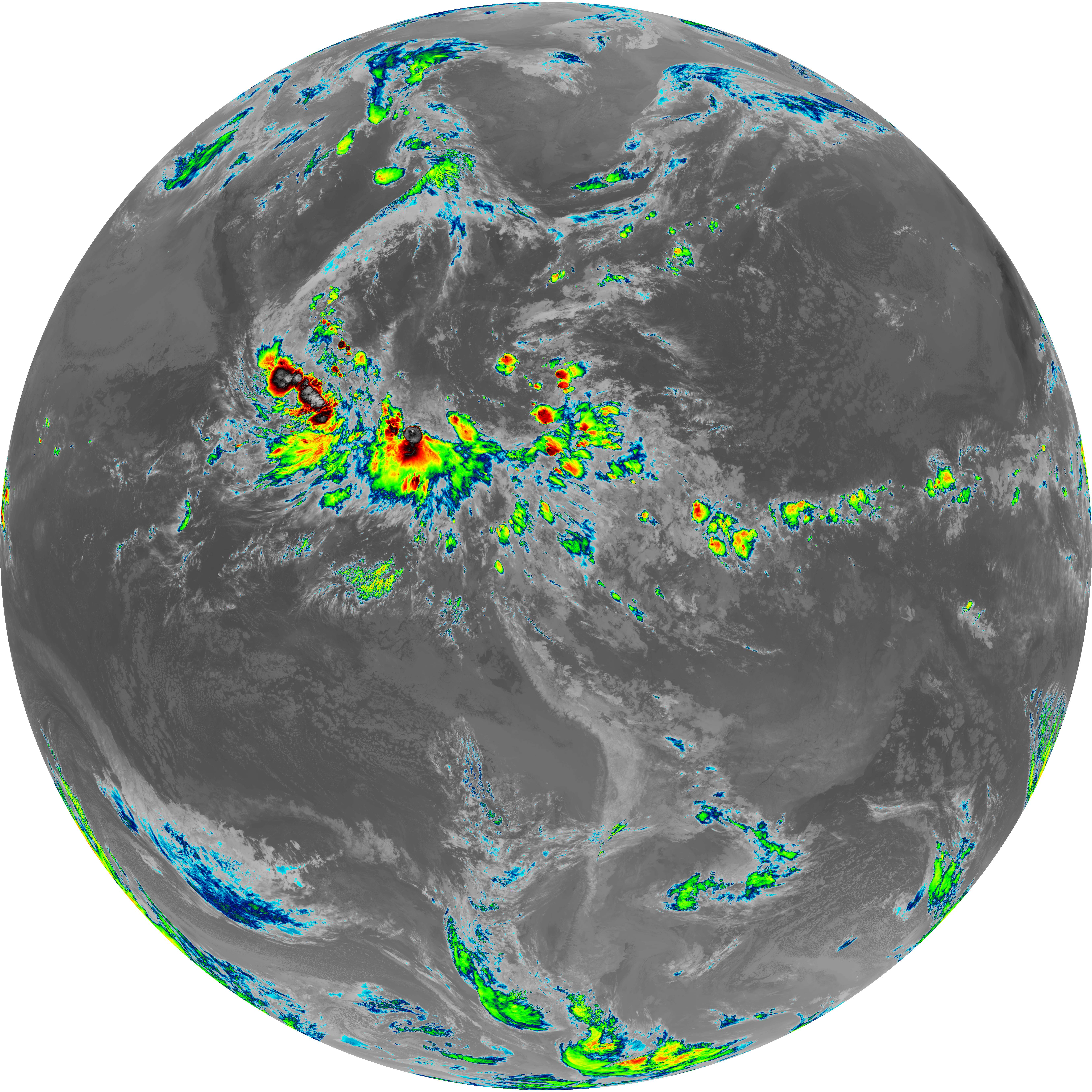
| abi_rgb_Upper-Level_Tropospheric_Water_Vapor.png | 7312680 | 2026-Jun-08 09:49 |
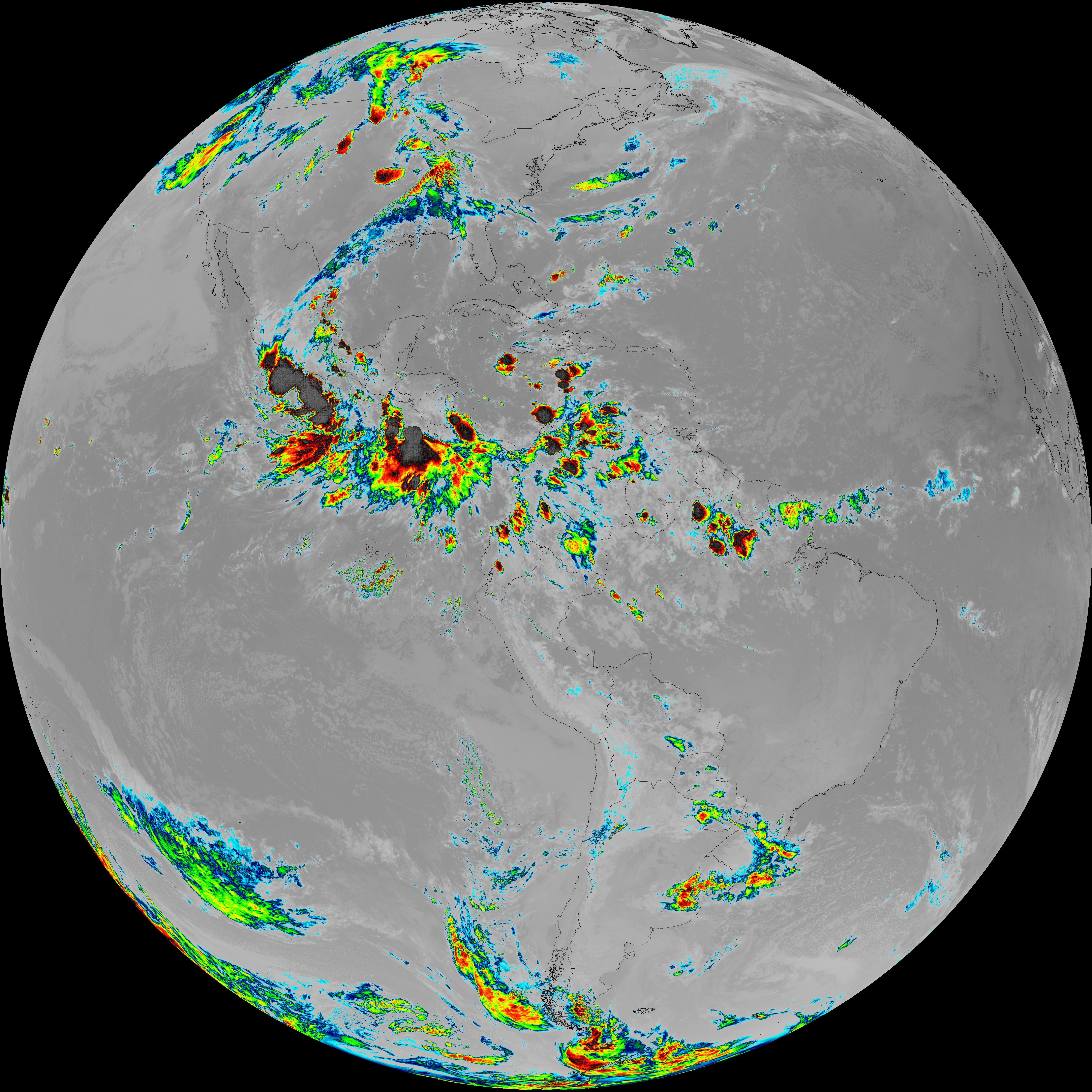
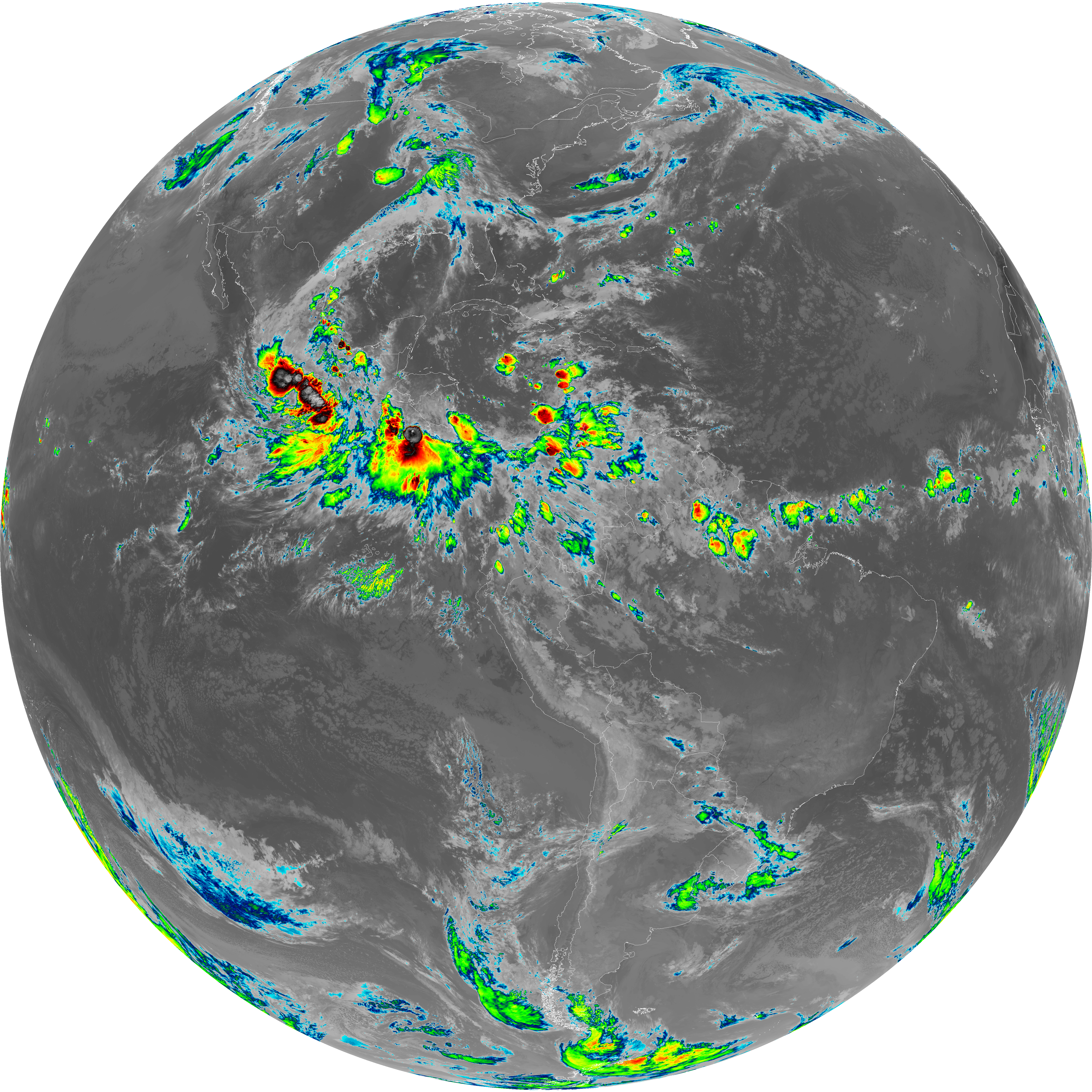
| abi_rgb_Upper-Level_Tropospheric_Water_Vapor_map.png | 7426745 | 2026-Jun-08 09:49 |
| G19_9_20260608T093021Z.png | 6297546 | 2026-Jun-08 09:51 |
| abi_rgb_Mid-level_Tropospheric_Water_Vapor.png | 8500318 | 2026-Jun-08 09:51 |
| abi_rgb_Mid-level_Tropospheric_Water_Vapor_map.png | 8606718 | 2026-Jun-08 09:51 |
| G19_14_20260608T093021Z.png | 10278918 | 2026-Jun-08 09:54 |
| abi_rgb_Infrared_Longwave_Window_Band.png | 13787006 | 2026-Jun-08 09:54 |
| abi_rgb_Infrared_Longwave_Window_Band_map.png | 13830821 | 2026-Jun-08 09:54 |
| G19_15_20260608T093021Z.png | 10002138 | 2026-Jun-08 09:57 |
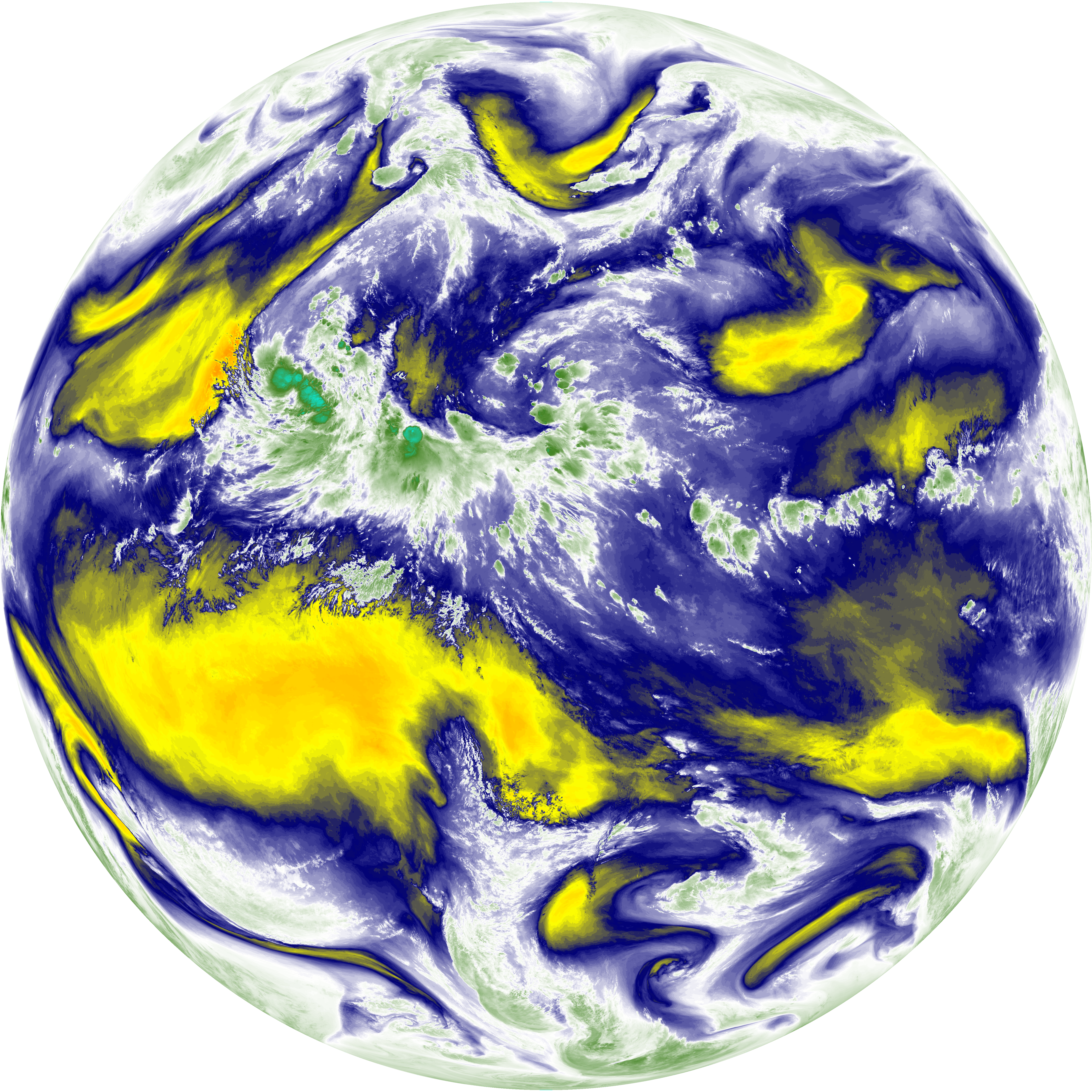
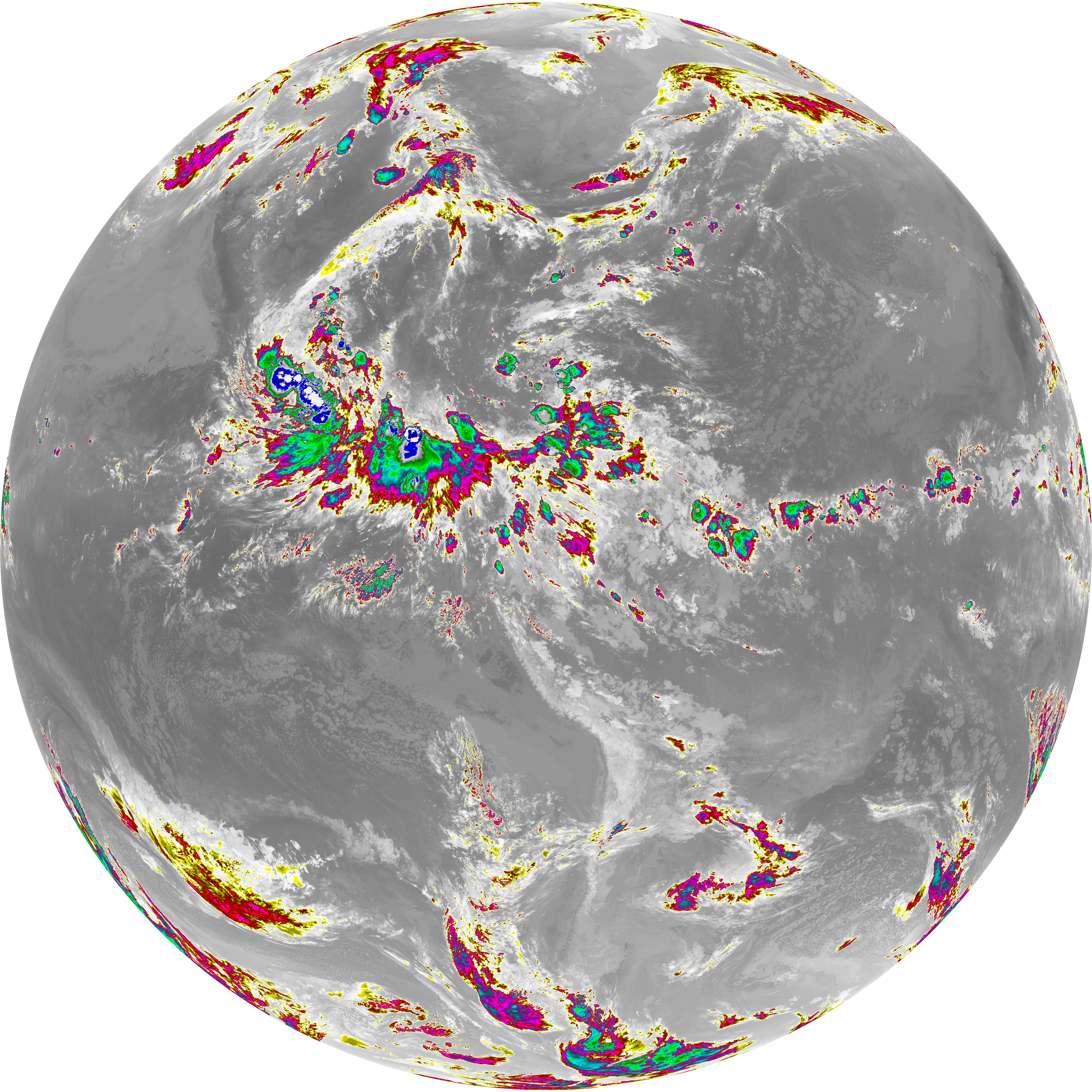
| abi_rgb_Dirty_Longwave_Window.png | 13460966 | 2026-Jun-08 09:57 |
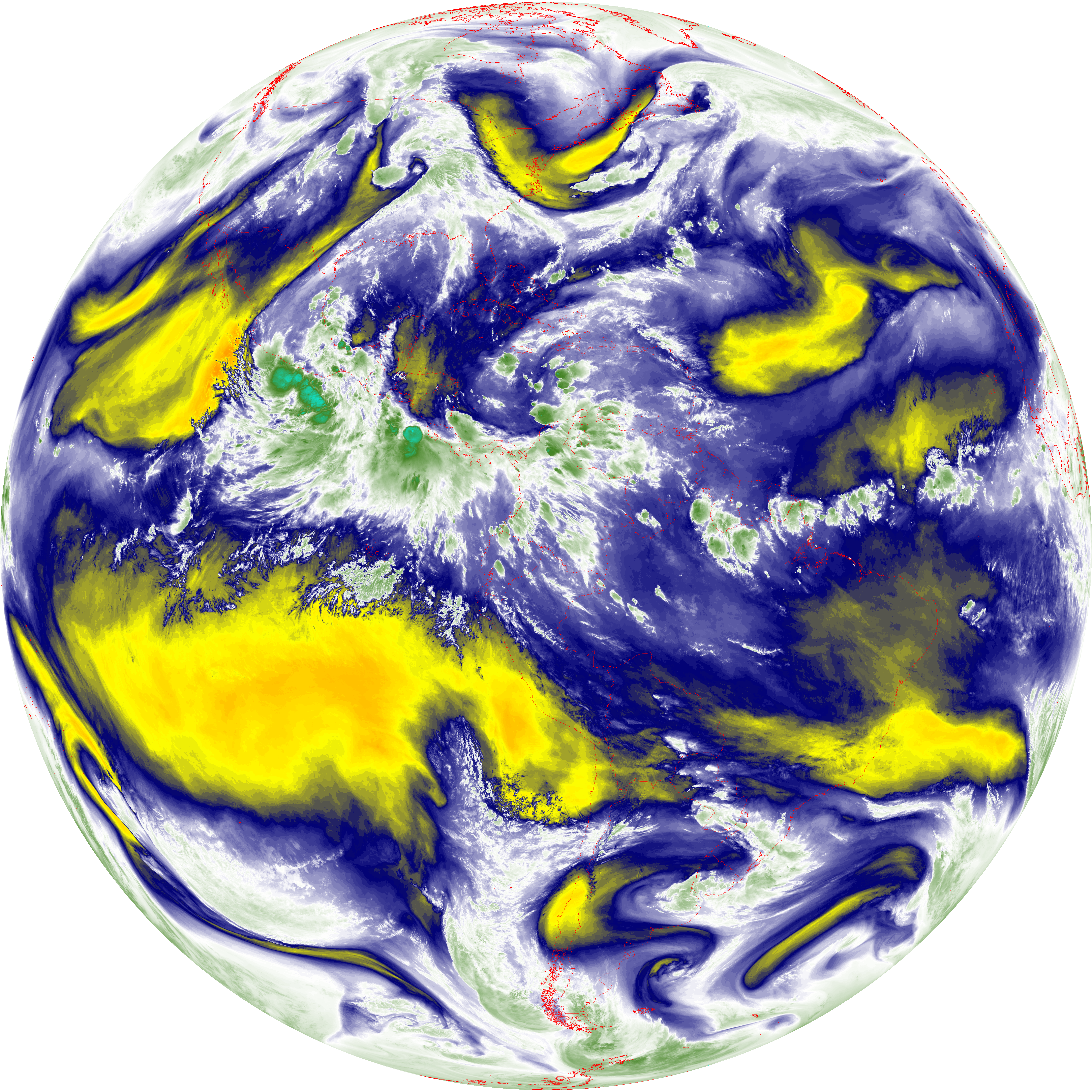
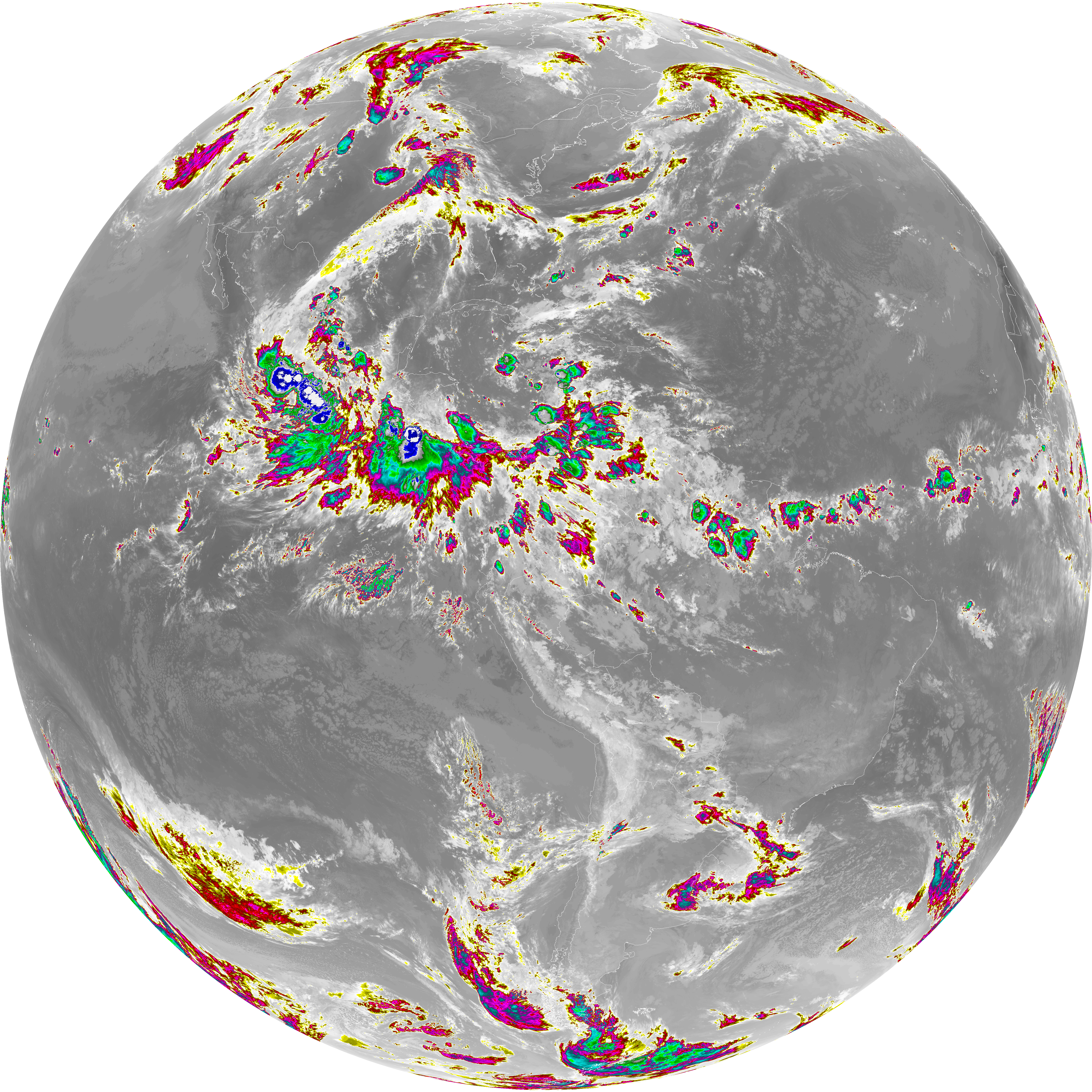
| abi_rgb_Dirty_Longwave_Window_map.png | 13509127 | 2026-Jun-08 09:57 |
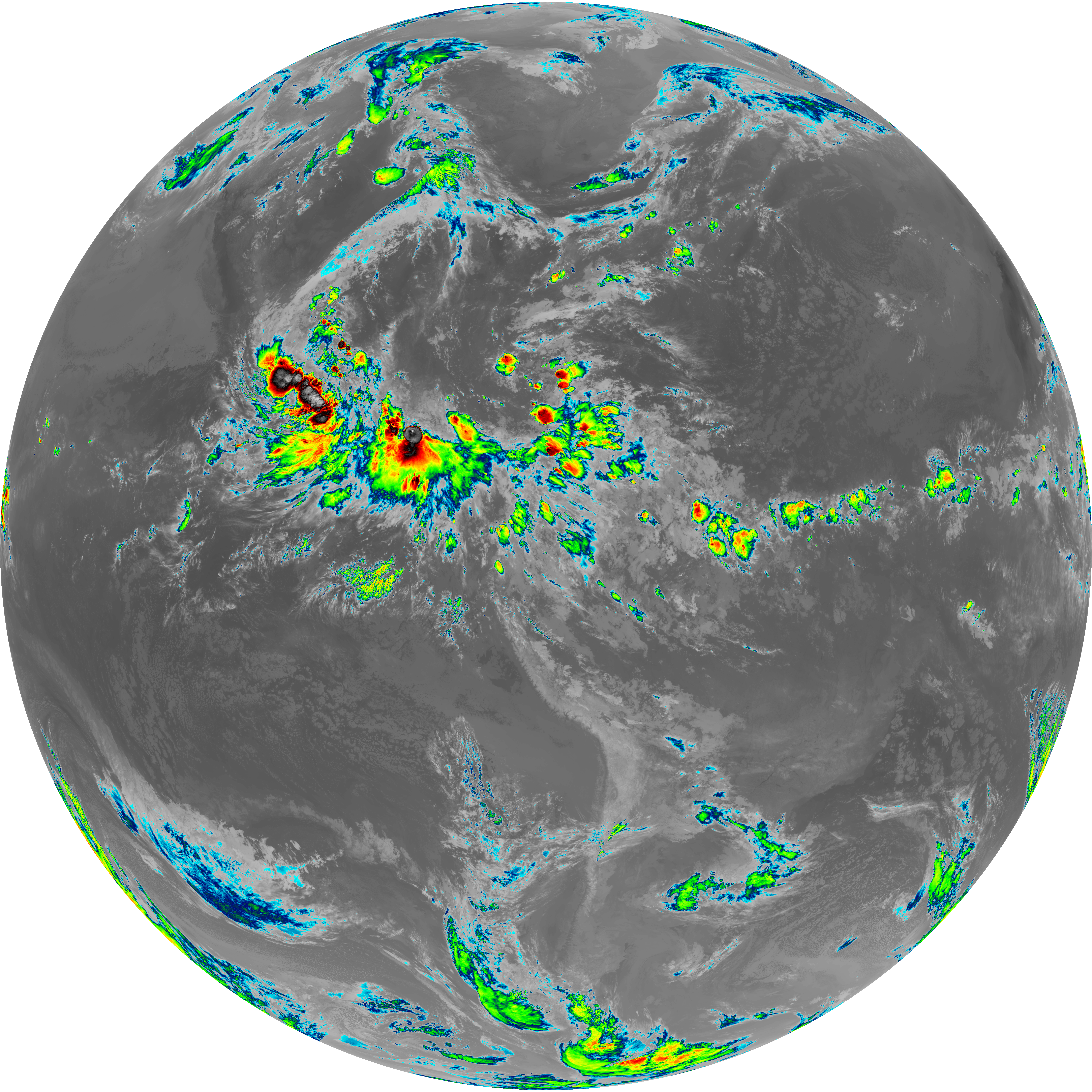
| abi_rgb_Dirty_Longwave_Window_-_CIRA.png | 11749323 | 2026-Jun-08 09:58 |
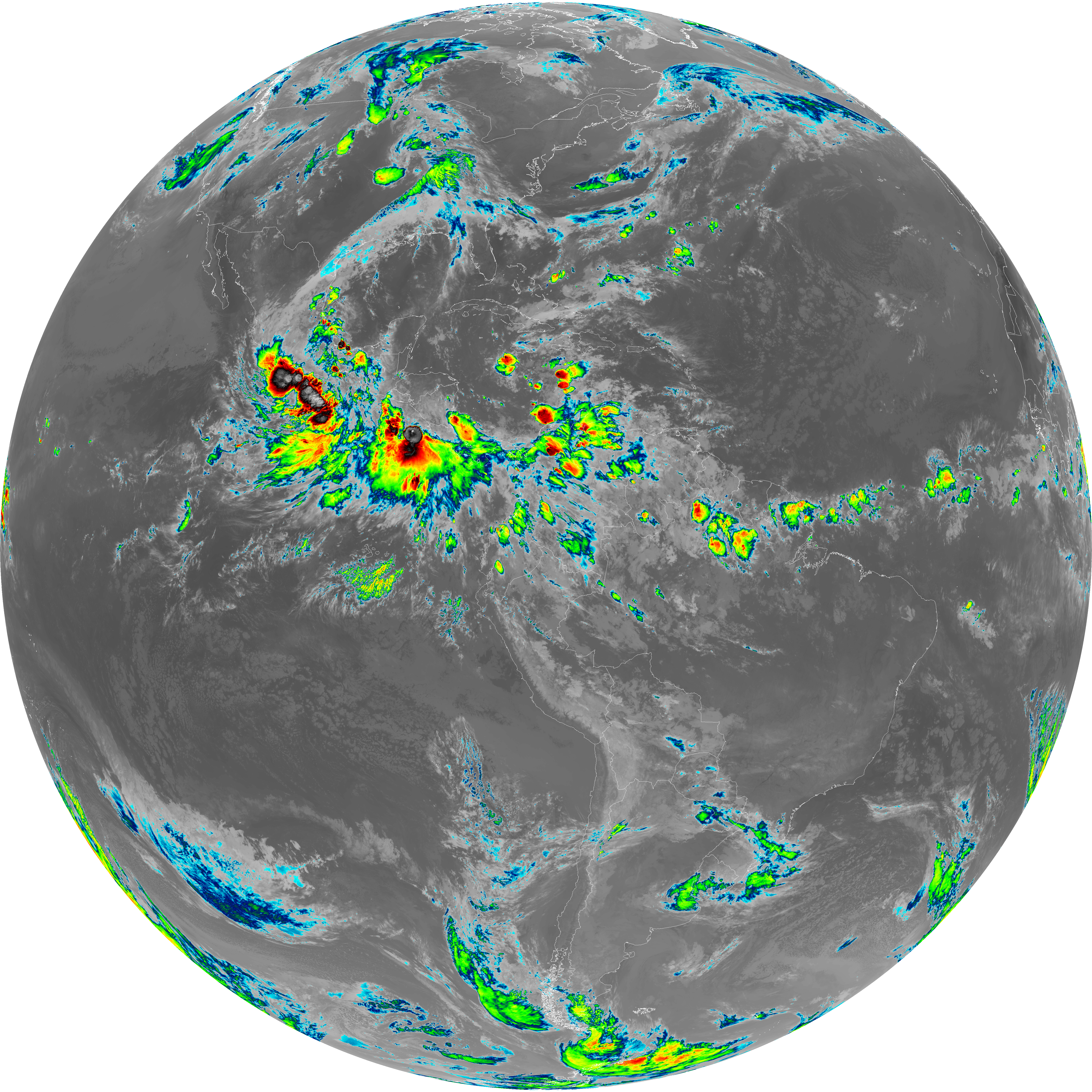
| abi_rgb_Dirty_Longwave_Window_-_CIRA_map.png | 11811151 | 2026-Jun-08 09:58 |