| Parent directory/ | - | - |
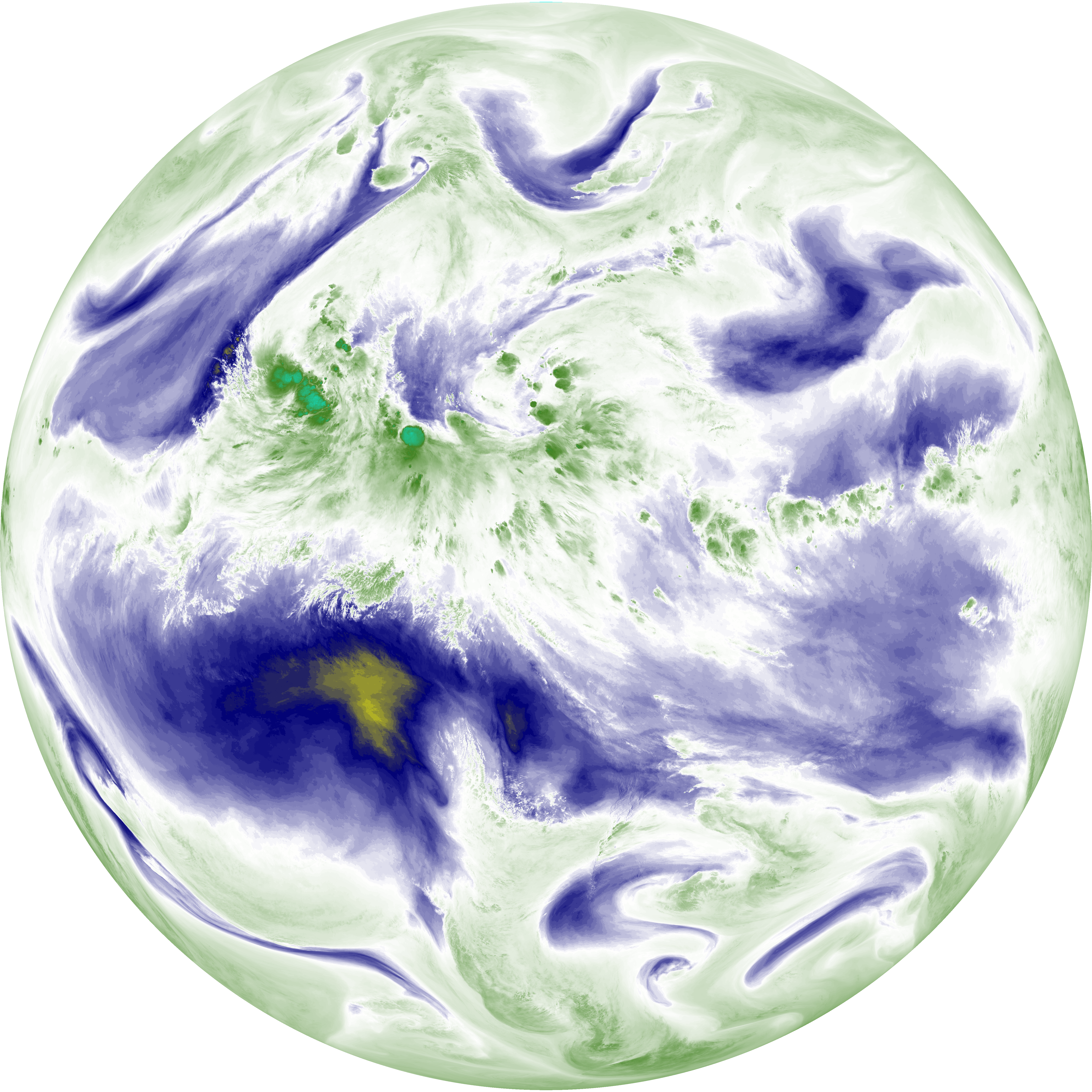
| abi_rgb_Dirty_Longwave_Window_-_CIRA_map.png | 11793005 | 2026-Jun-08 10:28 |
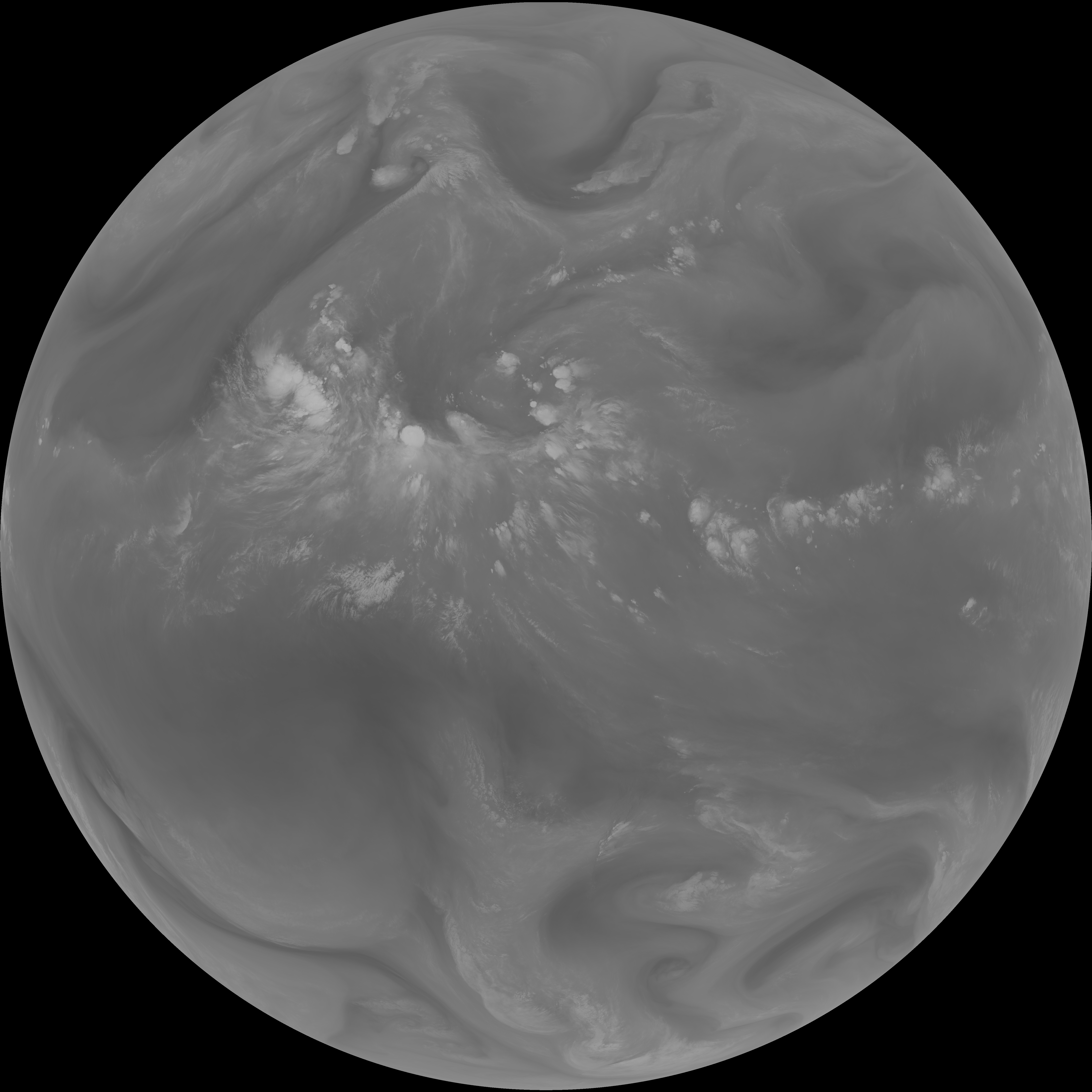
| abi_rgb_Dirty_Longwave_Window_-_CIRA.png | 11731390 | 2026-Jun-08 10:28 |
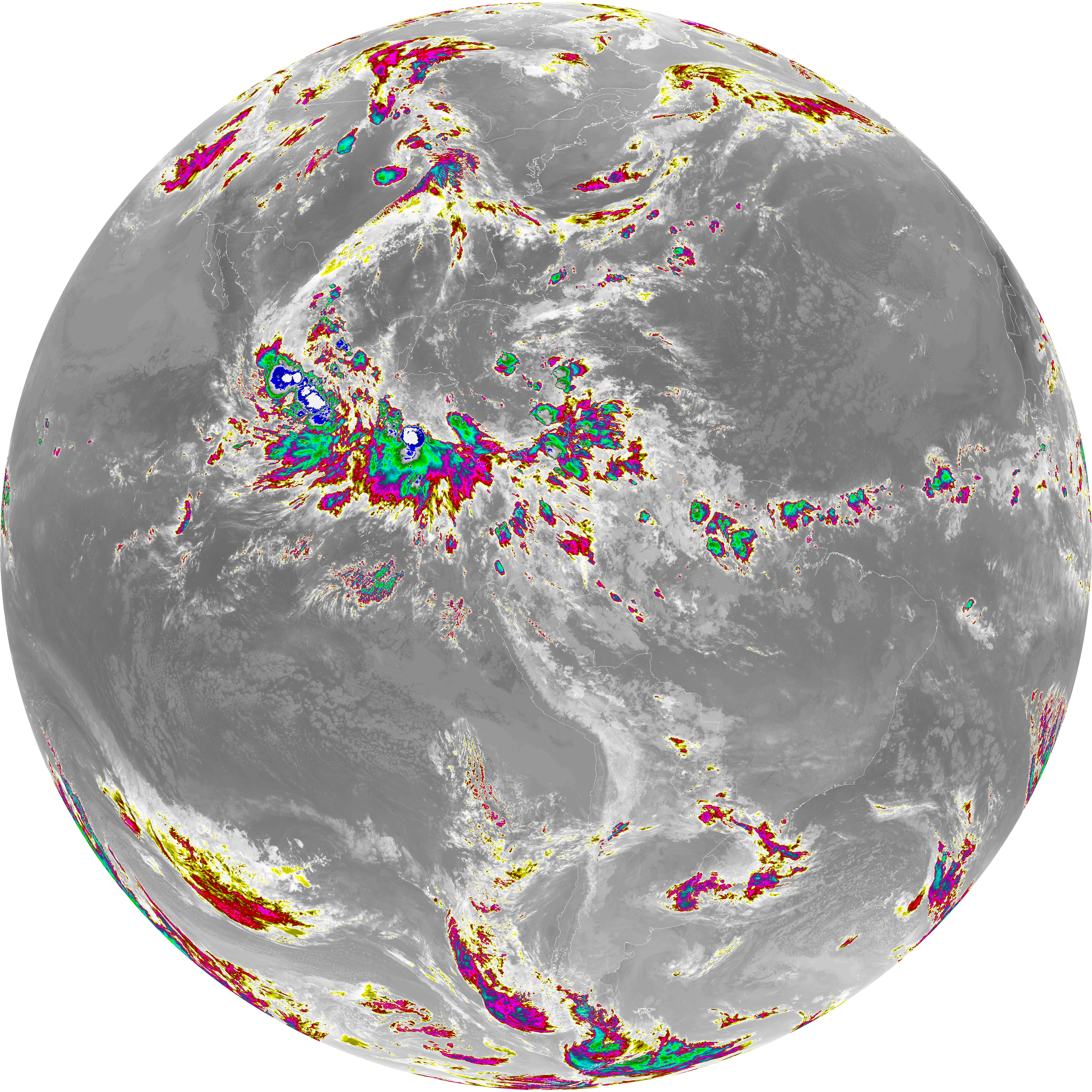
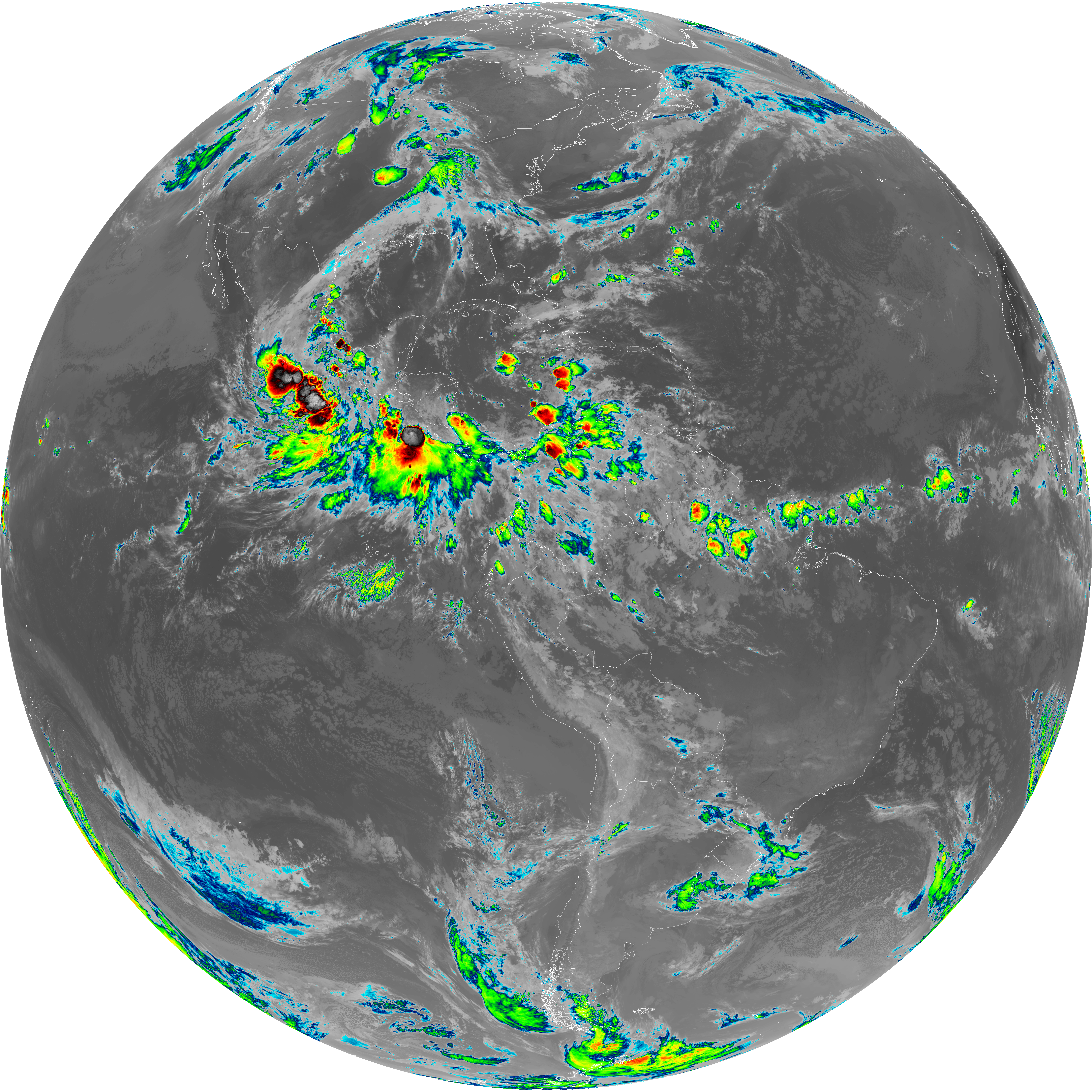
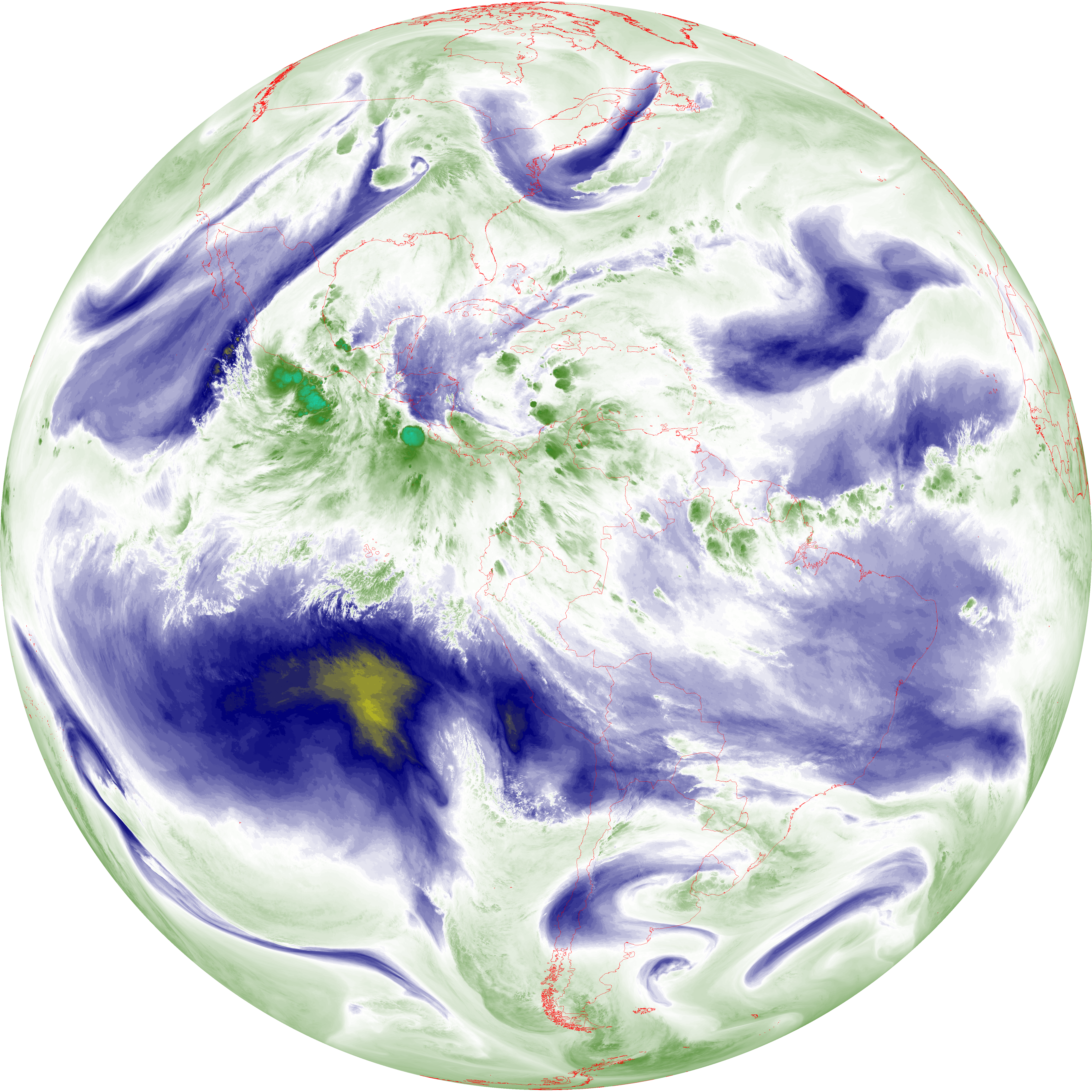
| abi_rgb_Dirty_Longwave_Window_map.png | 13488017 | 2026-Jun-08 10:28 |
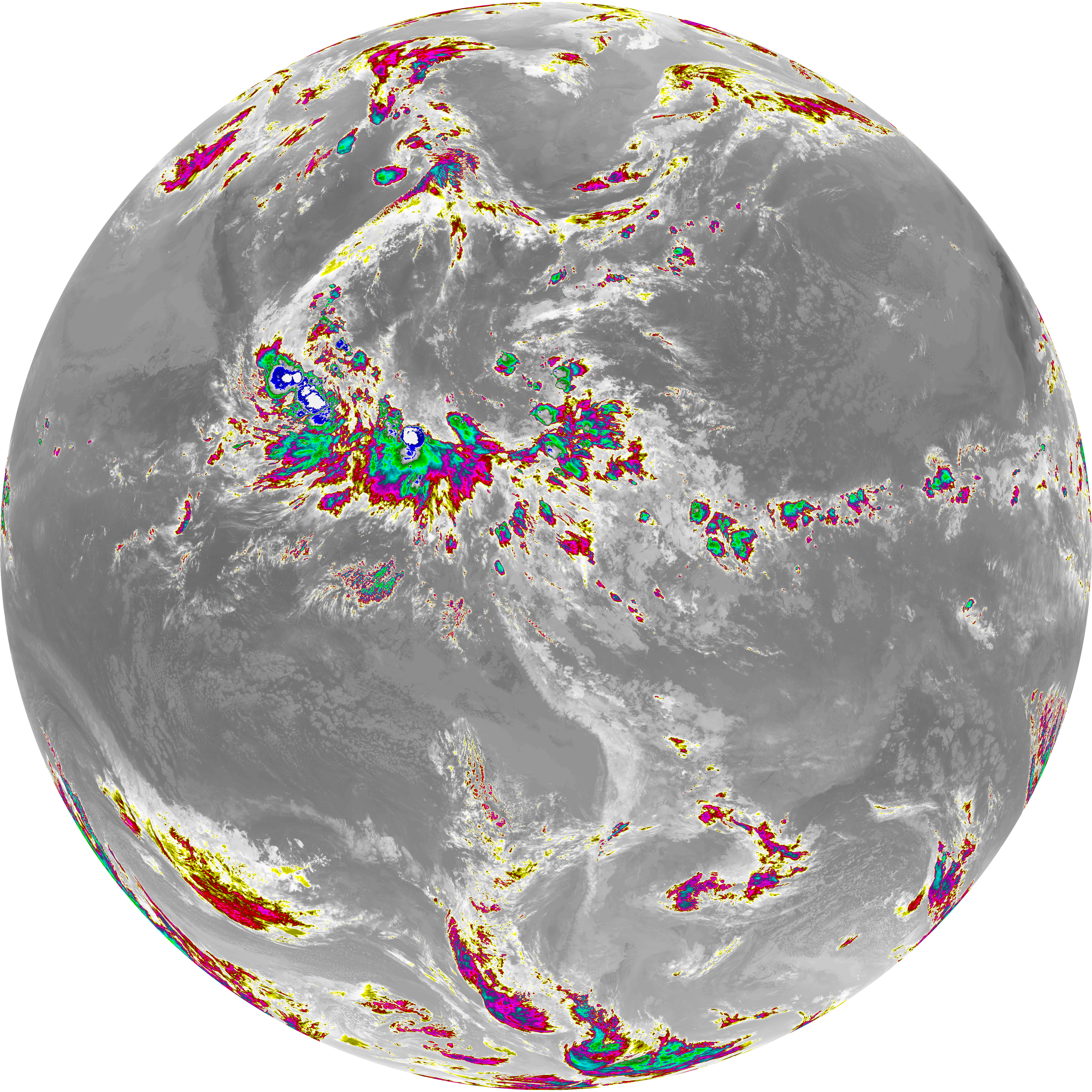
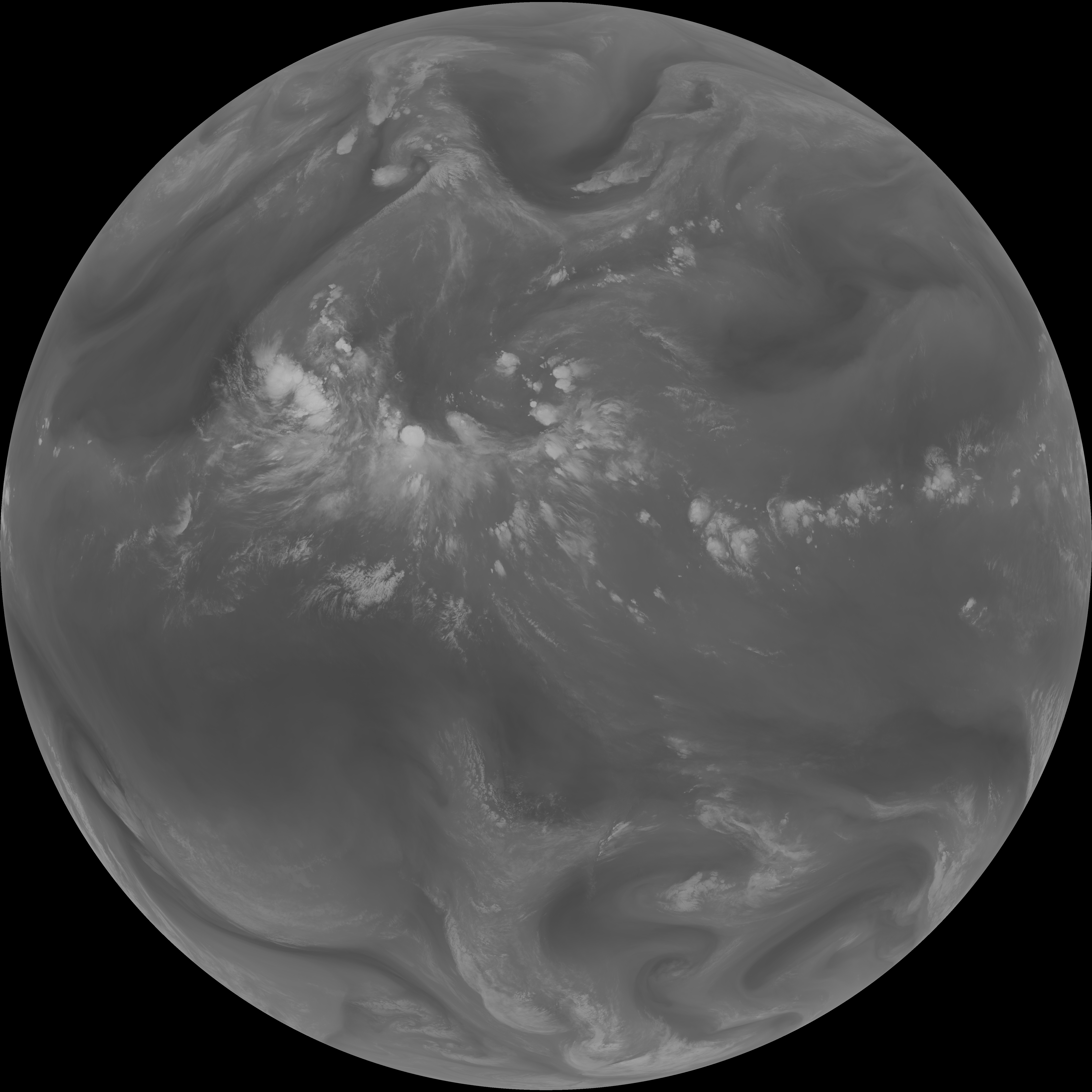
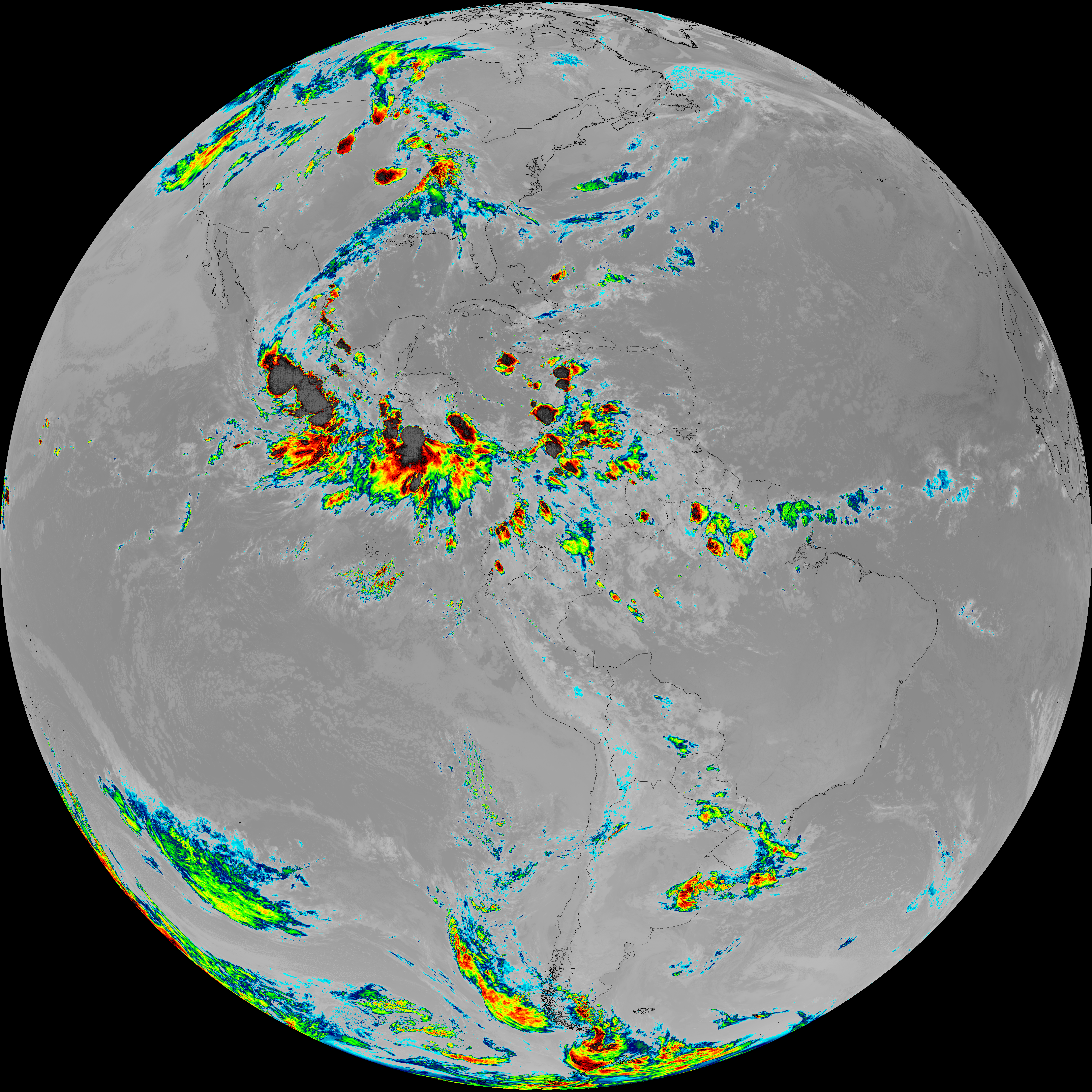
| abi_rgb_Dirty_Longwave_Window.png | 13440553 | 2026-Jun-08 10:28 |
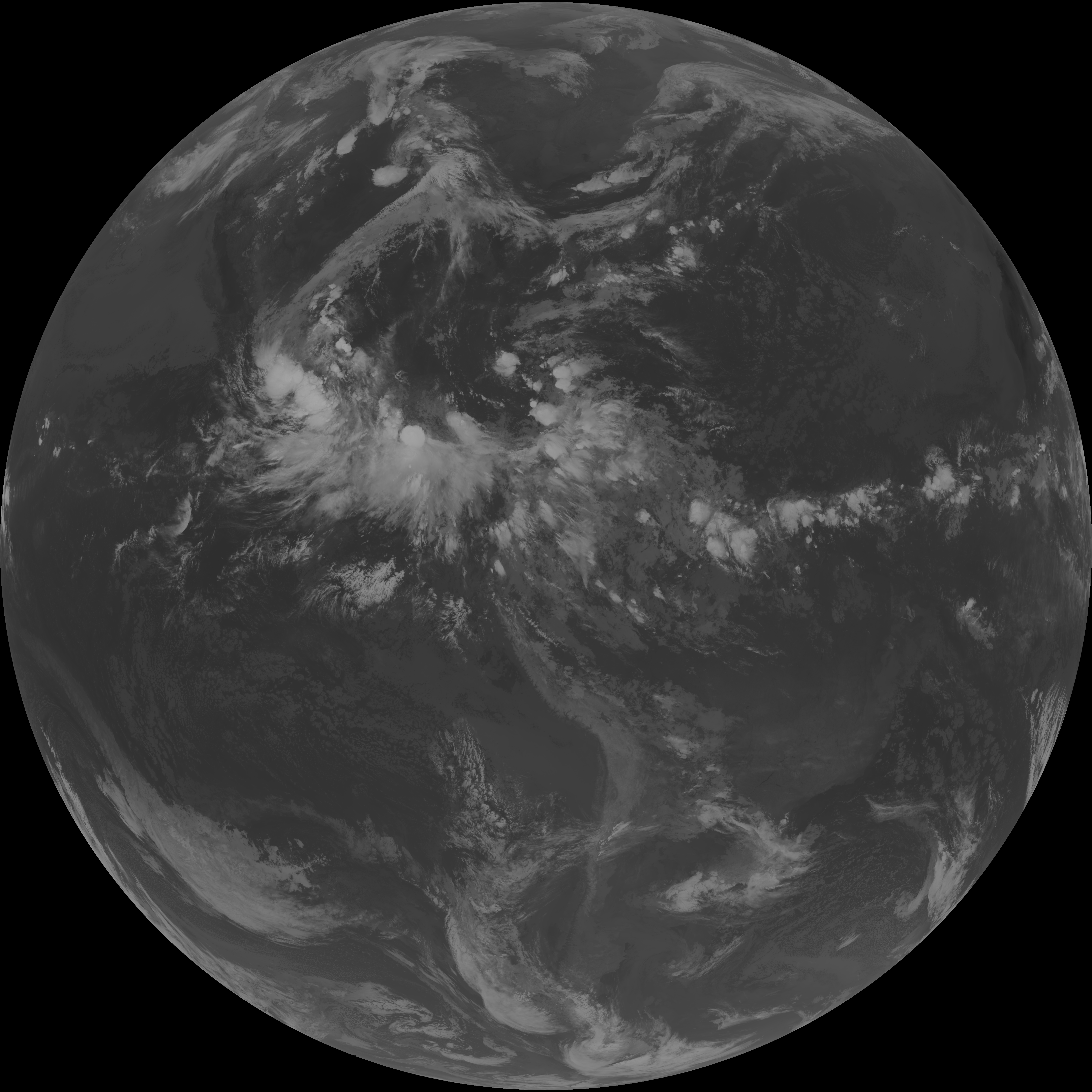
| G19_15_20260608T100021Z.png | 9986769 | 2026-Jun-08 10:27 |
| abi_rgb_Infrared_Longwave_Window_Band_map.png | 13807422 | 2026-Jun-08 10:25 |
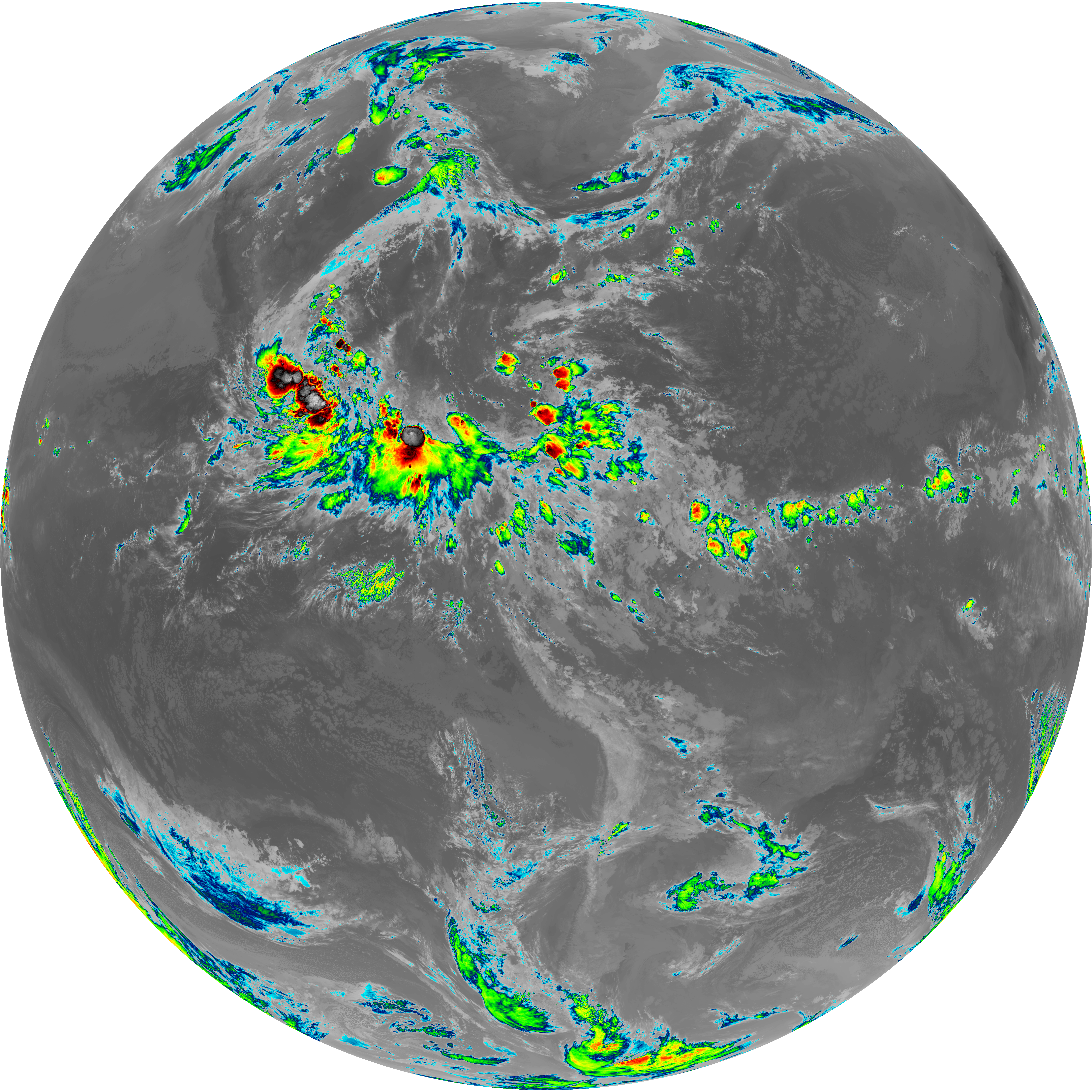
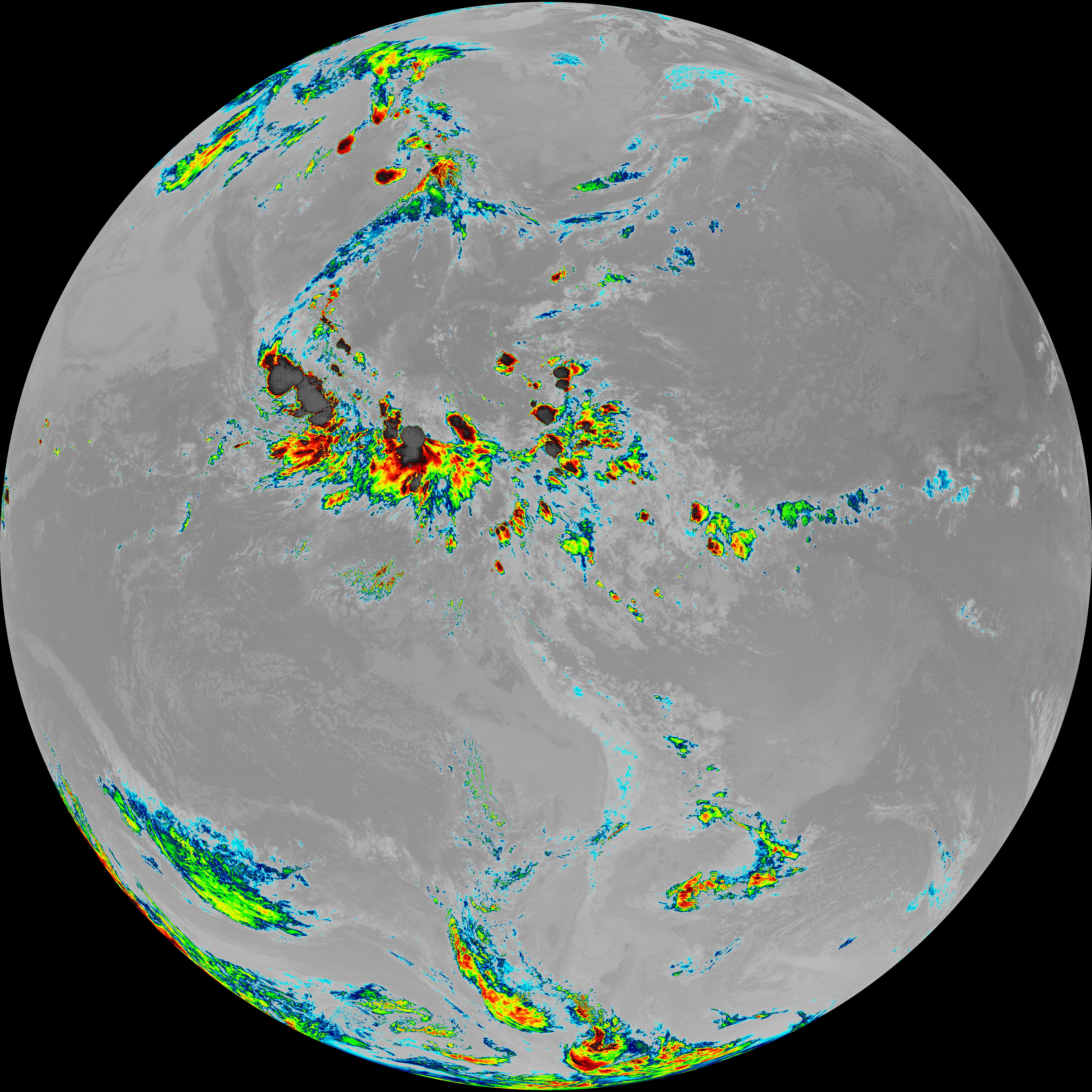
| abi_rgb_Infrared_Longwave_Window_Band.png | 13763503 | 2026-Jun-08 10:25 |
| G19_14_20260608T100021Z.png | 10262442 | 2026-Jun-08 10:25 |
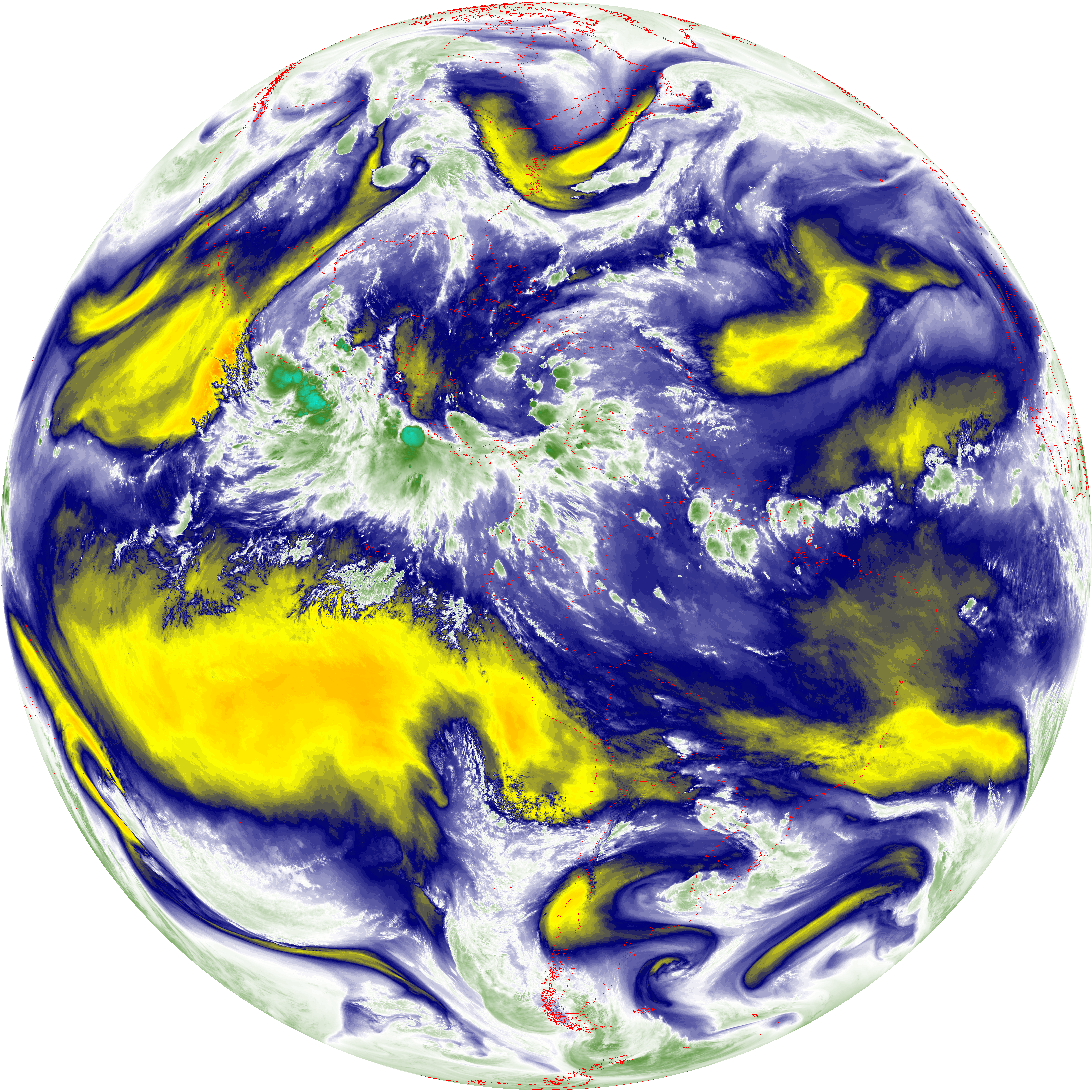
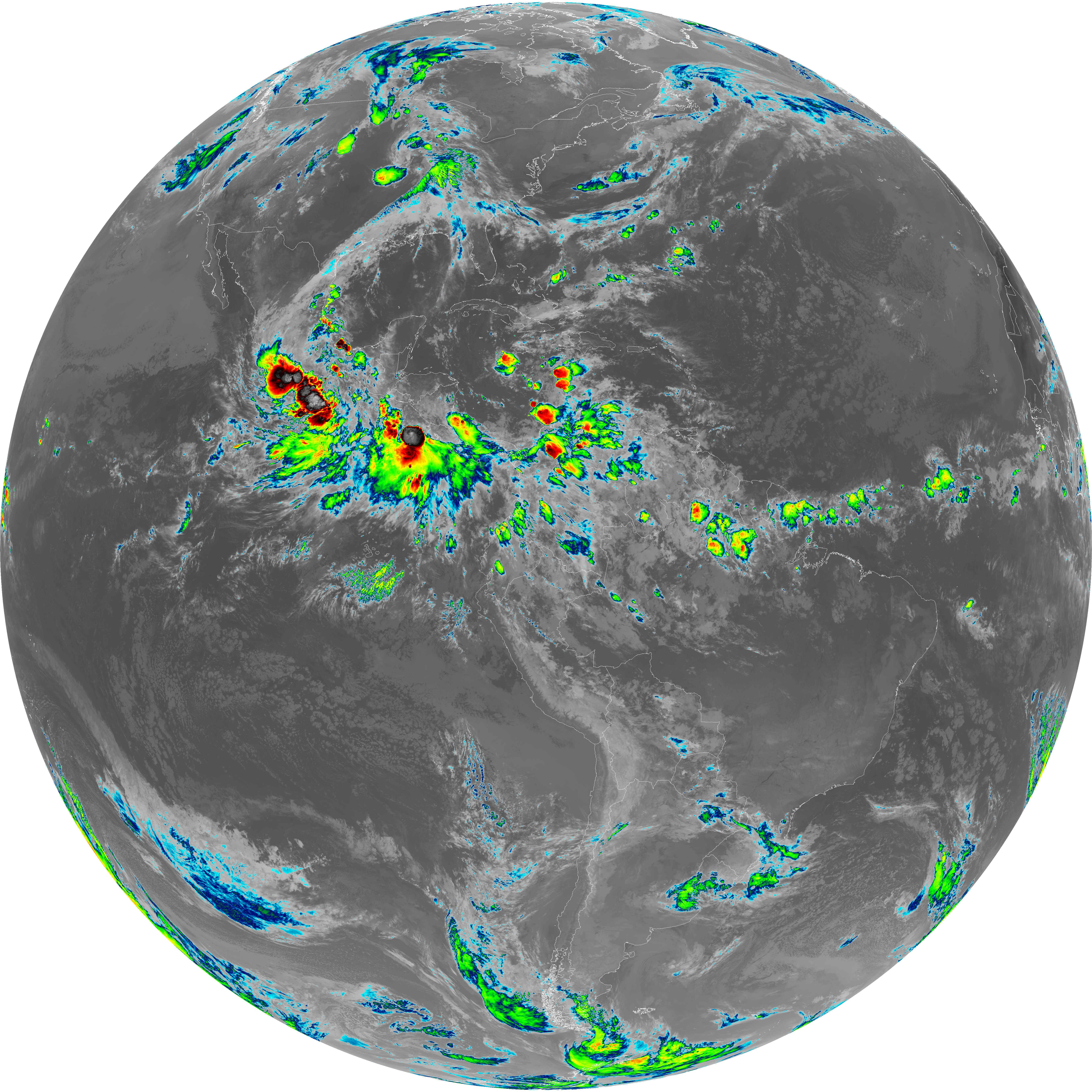
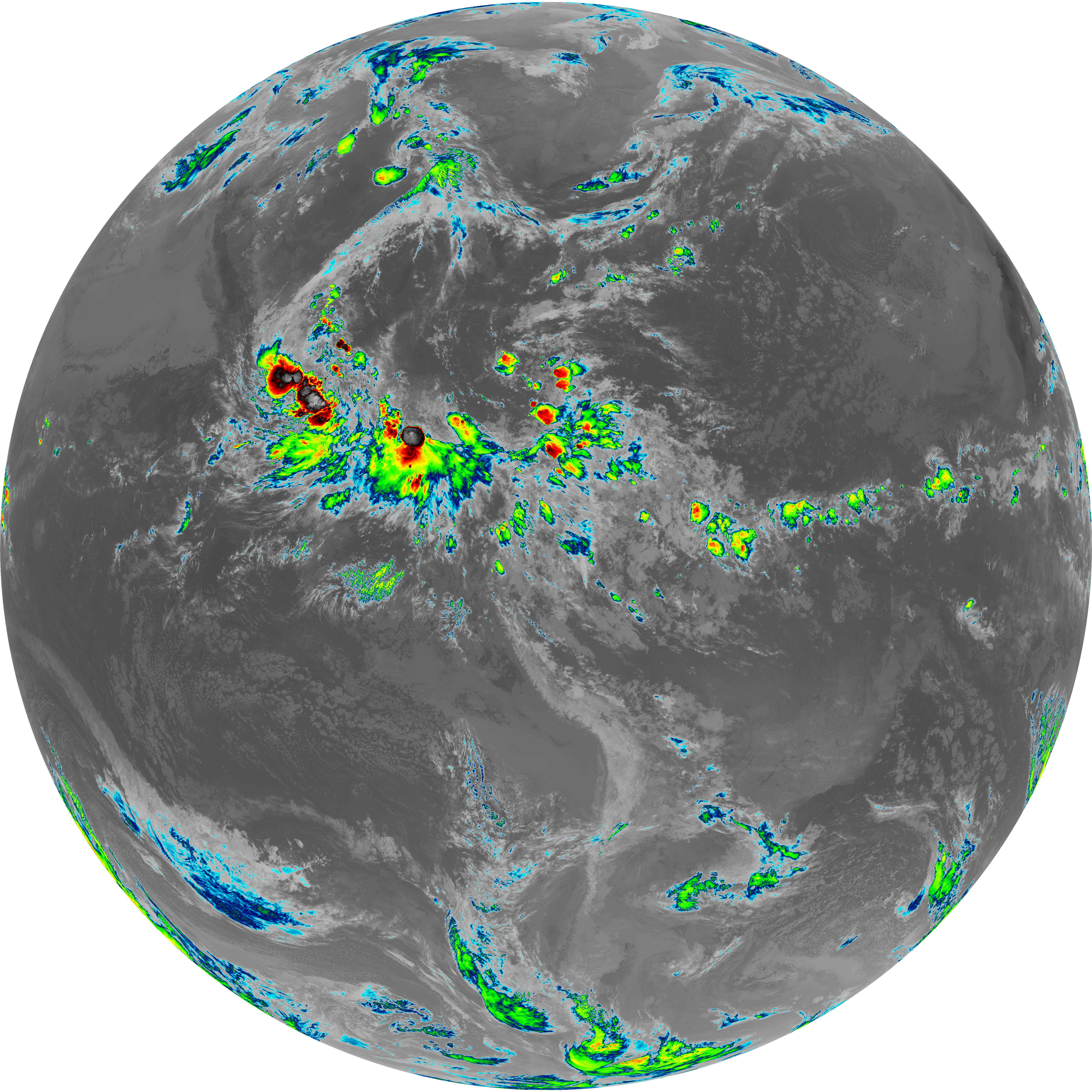
| abi_rgb_Mid-level_Tropospheric_Water_Vapor_map.png | 8596944 | 2026-Jun-08 10:22 |
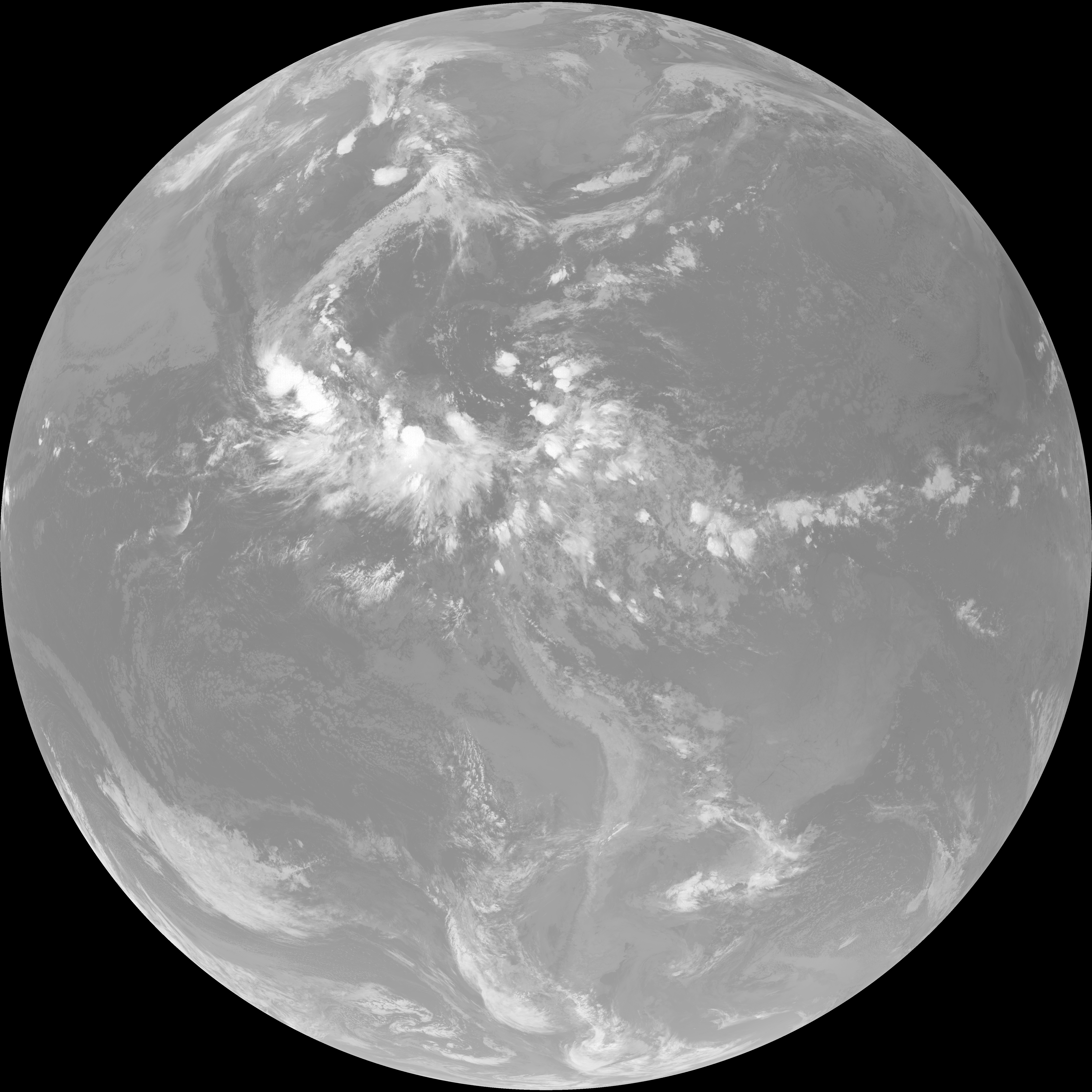
| abi_rgb_Mid-level_Tropospheric_Water_Vapor.png | 8490112 | 2026-Jun-08 10:22 |
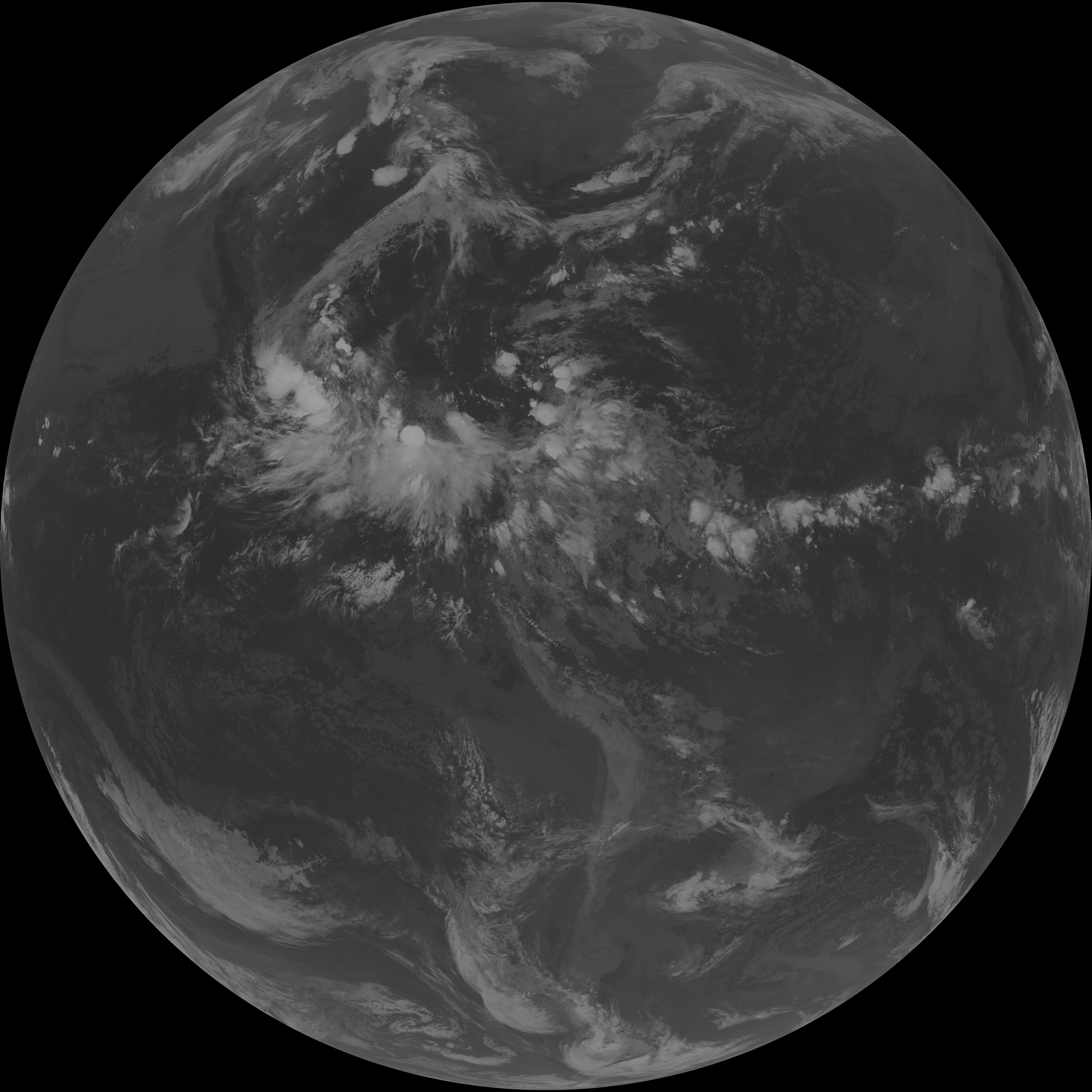
| G19_9_20260608T100021Z.png | 6288983 | 2026-Jun-08 10:21 |
| abi_rgb_Upper-Level_Tropospheric_Water_Vapor_map.png | 7426740 | 2026-Jun-08 10:20 |
| abi_rgb_Upper-Level_Tropospheric_Water_Vapor.png | 7312150 | 2026-Jun-08 10:20 |
| G19_8_20260608T100021Z.png | 5462096 | 2026-Jun-08 10:20 |
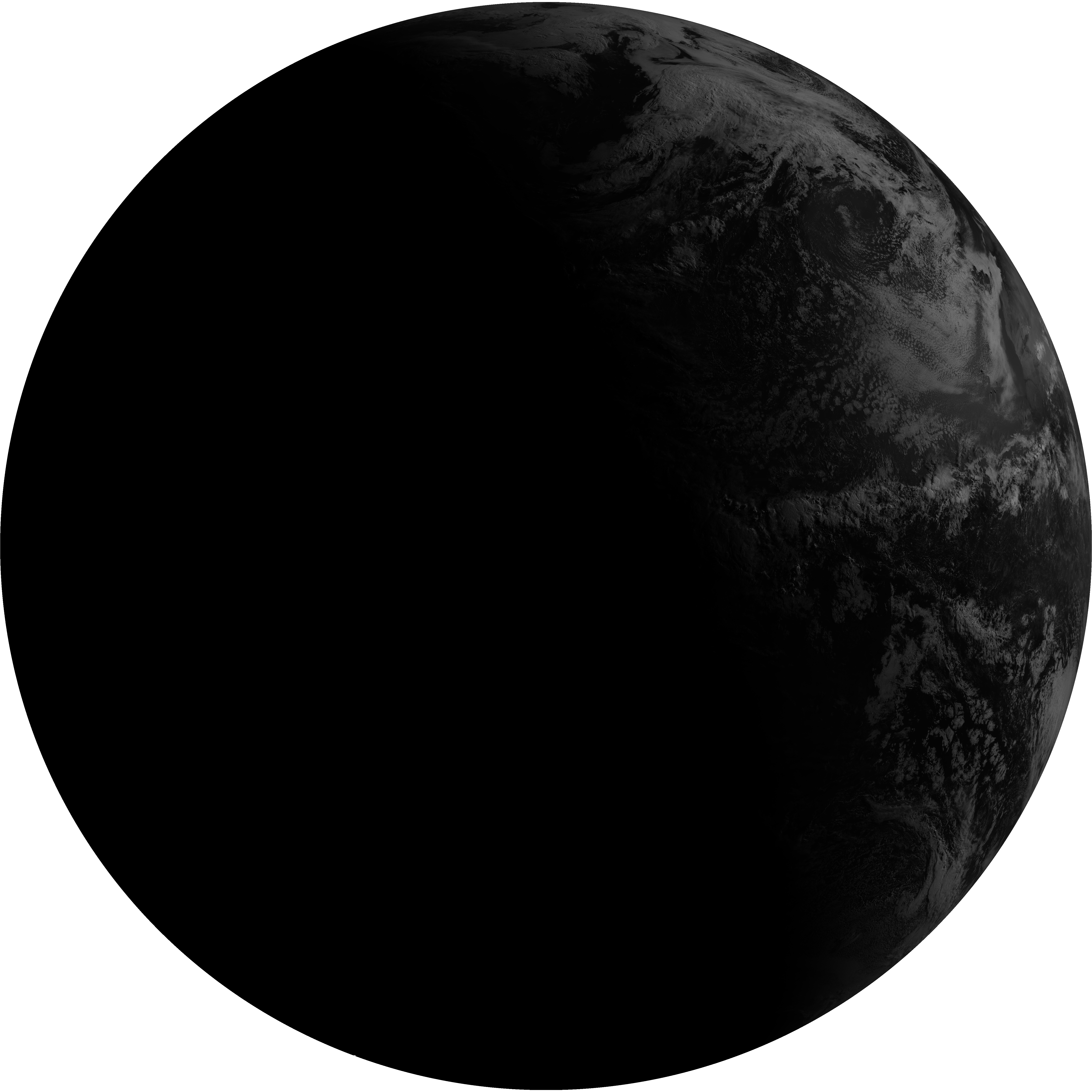
| G19_2_20260608T100021Z.png | 5445140 | 2026-Jun-08 10:18 |
| abi_rgb_Clean_Longwave_IR_Window_Band_map.png | 13660112 | 2026-Jun-08 10:16 |
| abi_rgb_Clean_Longwave_IR_Window_Band.png | 13615542 | 2026-Jun-08 10:16 |
| G19_13_20260608T100021Z.png | 10132859 | 2026-Jun-08 10:16 |
| abi_rgb_Shortwave_Window_Band_map.png | 14917799 | 2026-Jun-08 10:13 |
| abi_rgb_Shortwave_Window_Band.png | 14861731 | 2026-Jun-08 10:13 |
| G19_7_20260608T100021Z.png | 10970216 | 2026-Jun-08 10:13 |