| Parent directory/ | - | - |
| G19_7_20260608T103021Z.png | 10839366 | 2026-Jun-08 10:43 |
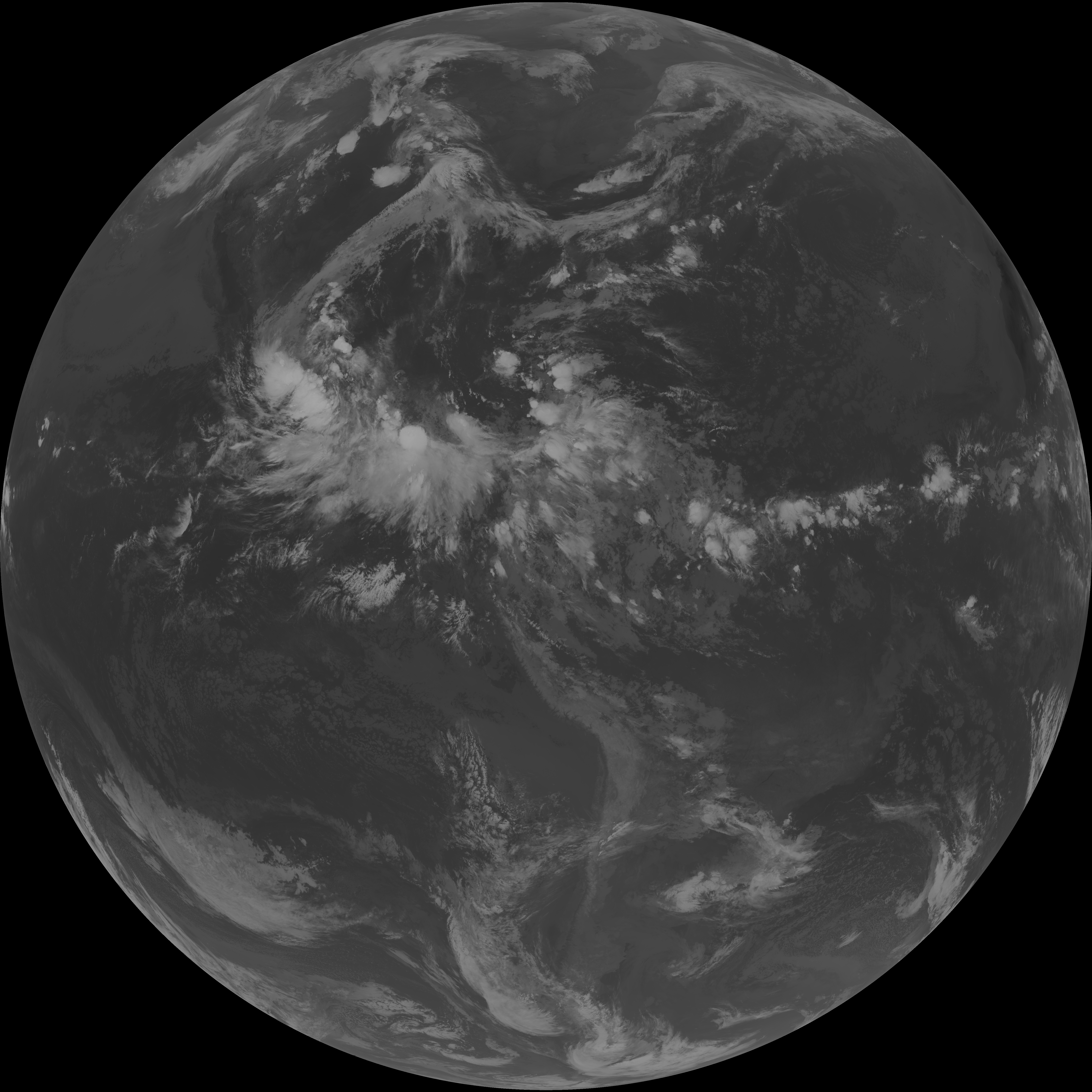
| abi_rgb_Shortwave_Window_Band.png | 14718197 | 2026-Jun-08 10:43 |
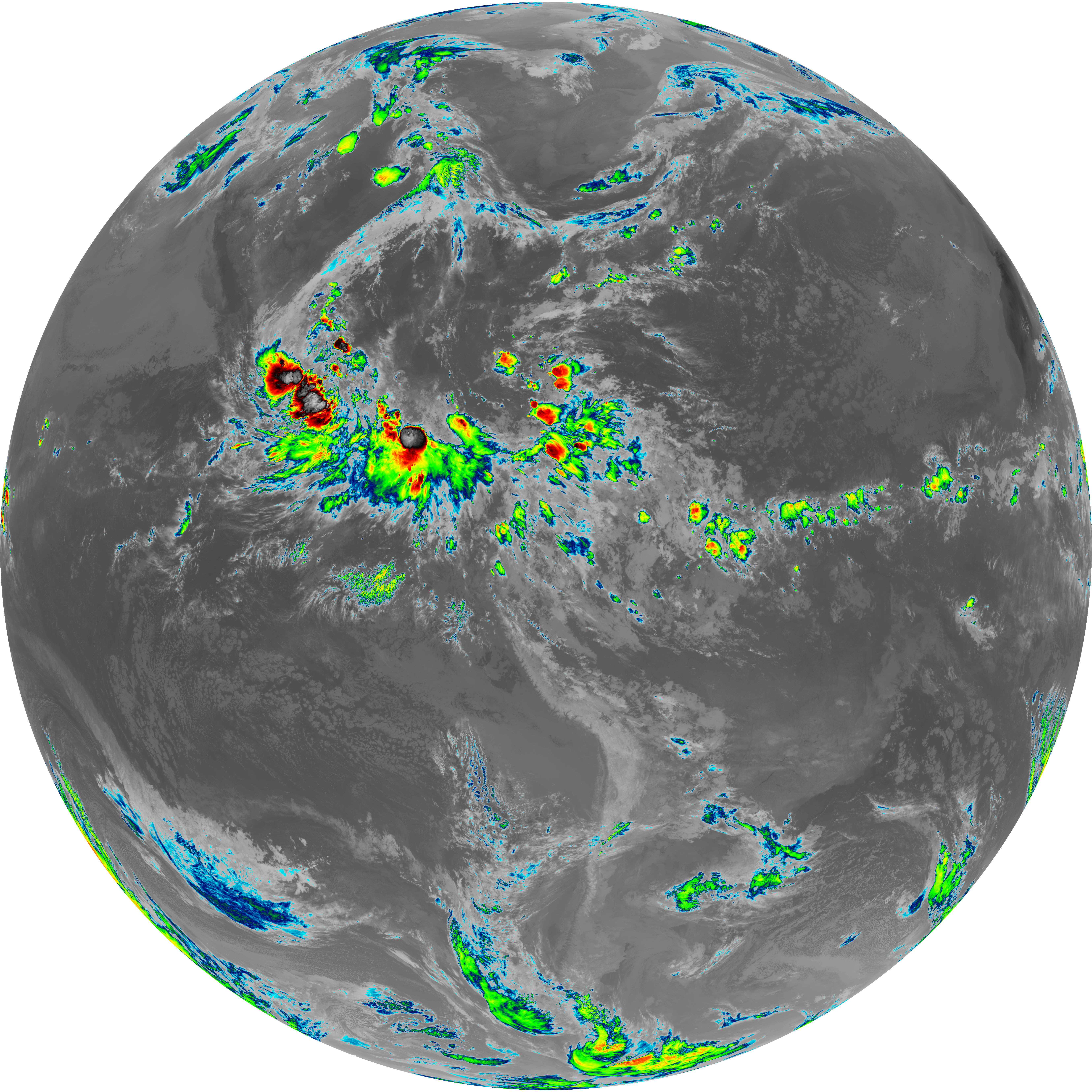
| abi_rgb_Shortwave_Window_Band_map.png | 14774801 | 2026-Jun-08 10:43 |
| G19_13_20260608T103021Z.png | 10114326 | 2026-Jun-08 10:45 |
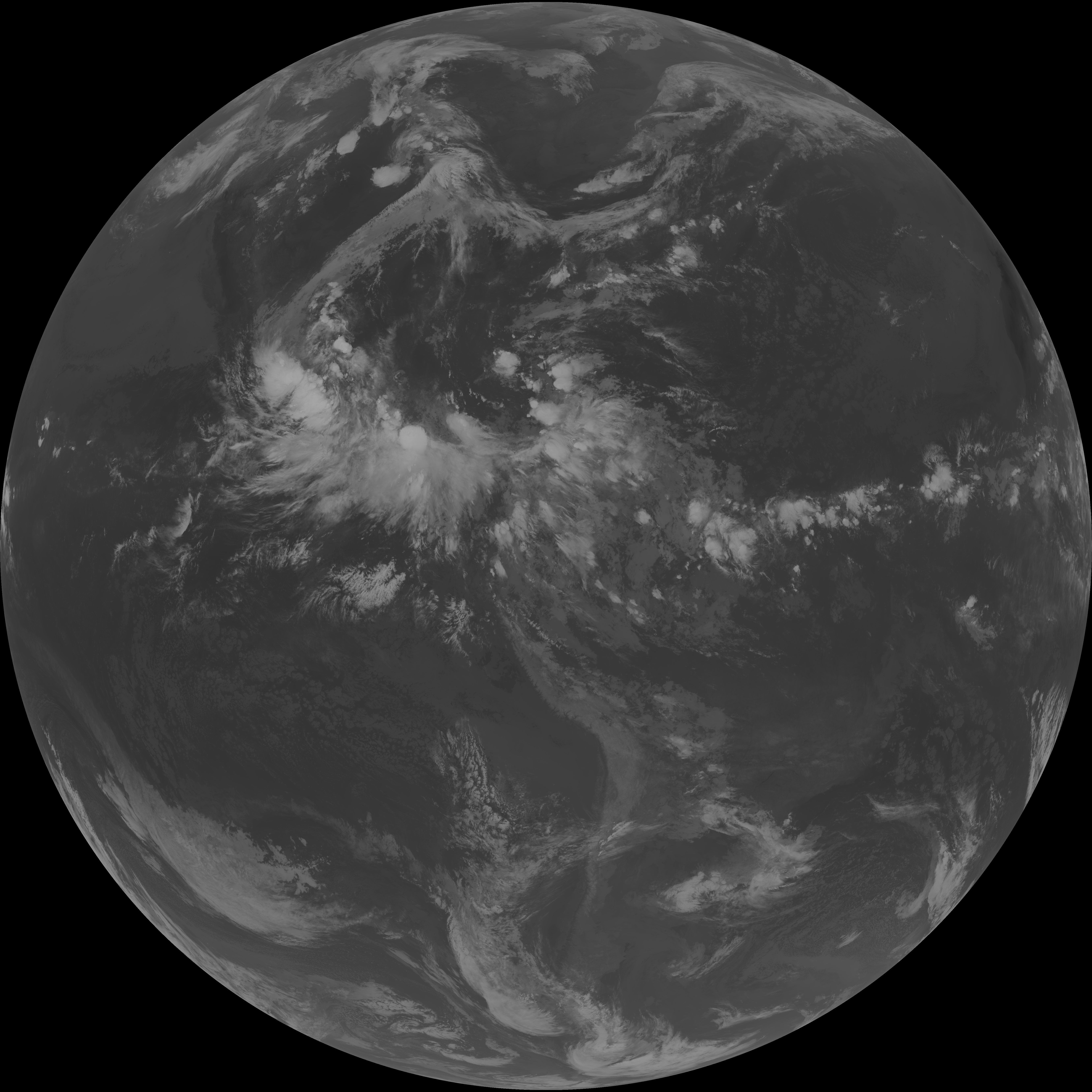
| abi_rgb_Clean_Longwave_IR_Window_Band.png | 13588591 | 2026-Jun-08 10:46 |
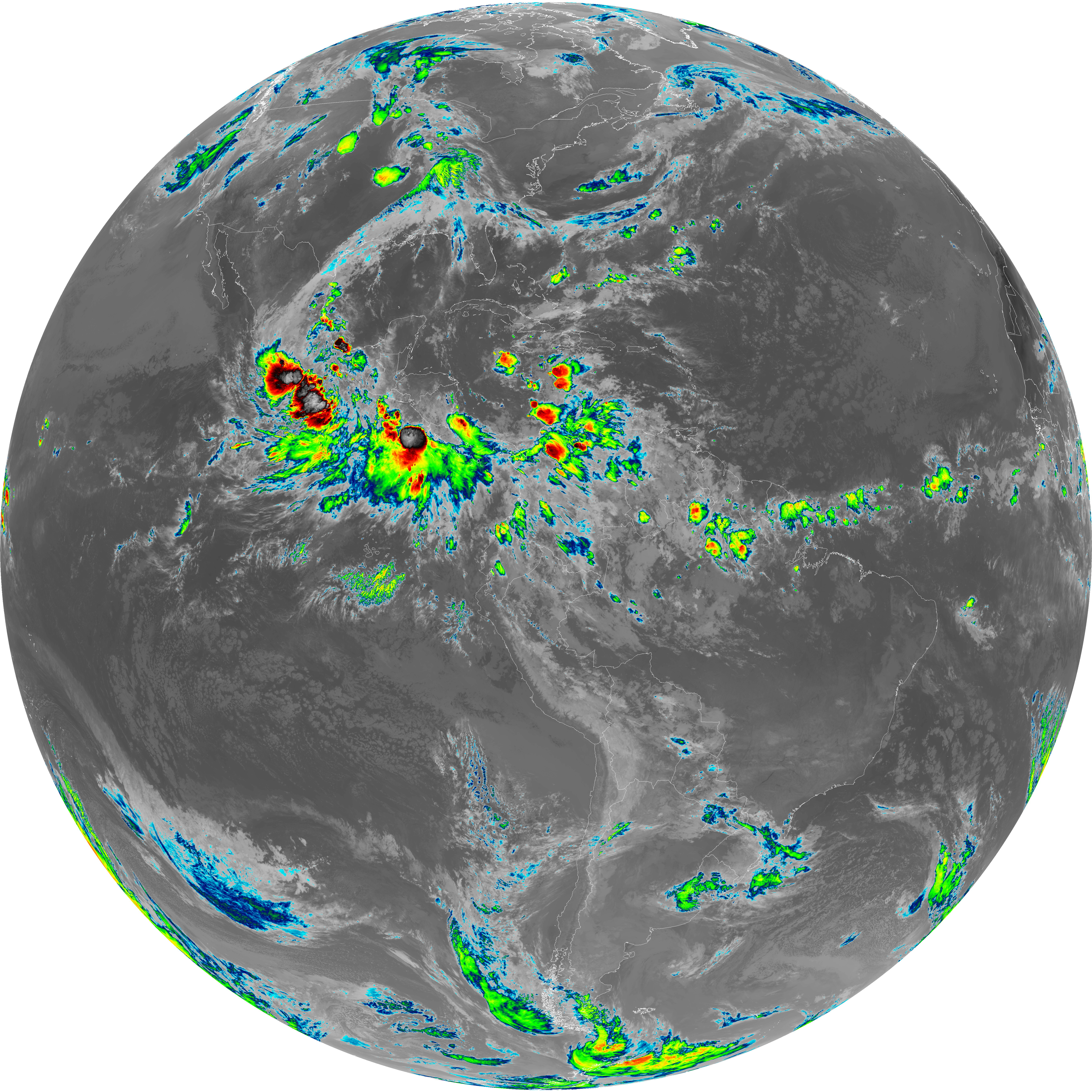
| abi_rgb_Clean_Longwave_IR_Window_Band_map.png | 13632175 | 2026-Jun-08 10:46 |
| G19_2_20260608T103021Z.png | 6325250 | 2026-Jun-08 10:48 |
| G19_8_20260608T103021Z.png | 5452855 | 2026-Jun-08 10:49 |
| abi_rgb_Upper-Level_Tropospheric_Water_Vapor.png | 7297119 | 2026-Jun-08 10:50 |
| abi_rgb_Upper-Level_Tropospheric_Water_Vapor_map.png | 7412492 | 2026-Jun-08 10:50 |
| G19_9_20260608T103021Z.png | 6281607 | 2026-Jun-08 10:51 |
| abi_rgb_Mid-level_Tropospheric_Water_Vapor.png | 8476858 | 2026-Jun-08 10:52 |
| abi_rgb_Mid-level_Tropospheric_Water_Vapor_map.png | 8583290 | 2026-Jun-08 10:52 |
| G19_14_20260608T103021Z.png | 10247074 | 2026-Jun-08 10:54 |
| abi_rgb_Infrared_Longwave_Window_Band.png | 13741078 | 2026-Jun-08 10:55 |
| abi_rgb_Infrared_Longwave_Window_Band_map.png | 13784138 | 2026-Jun-08 10:55 |
| G19_15_20260608T103021Z.png | 9967690 | 2026-Jun-08 10:57 |
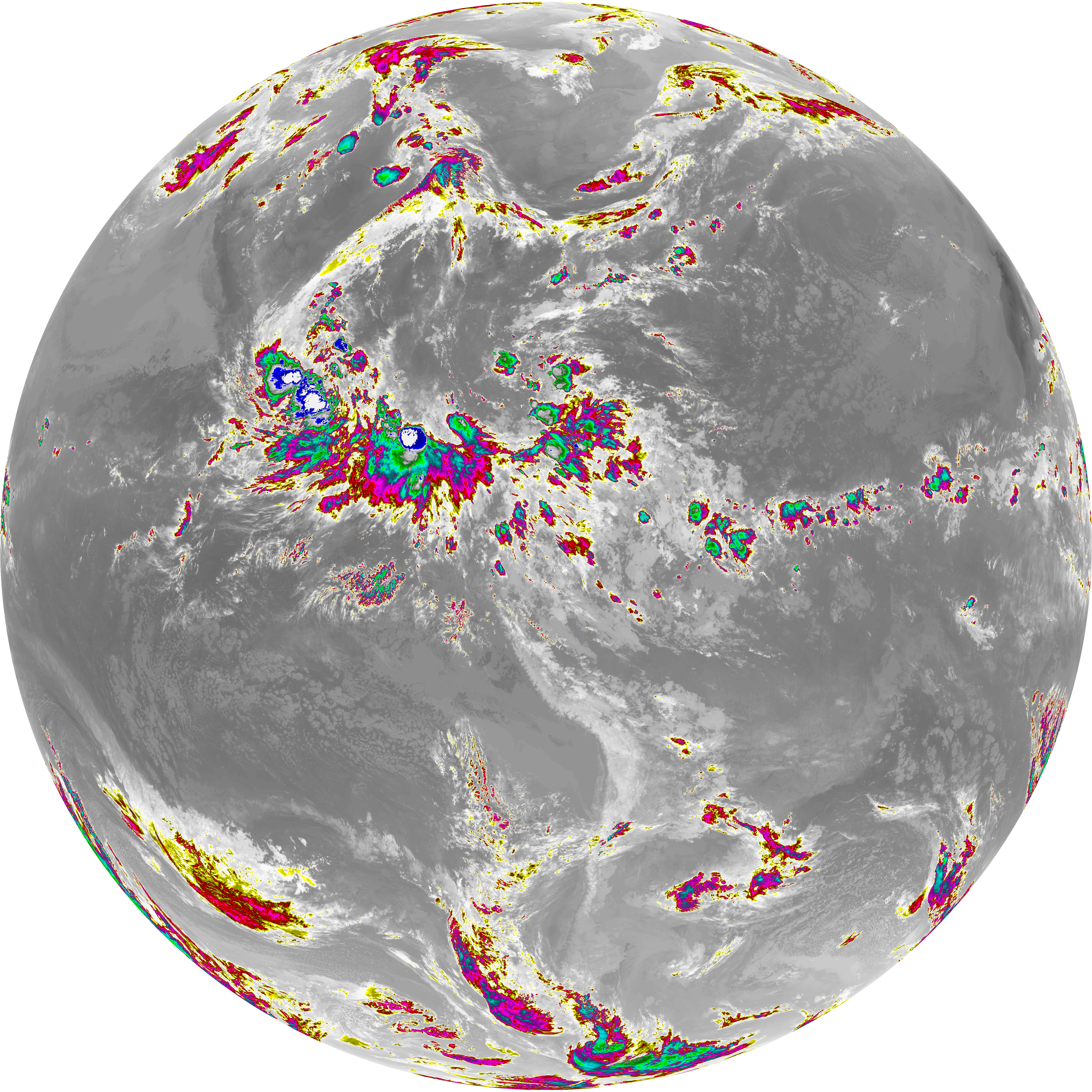
| abi_rgb_Dirty_Longwave_Window.png | 13413778 | 2026-Jun-08 10:58 |
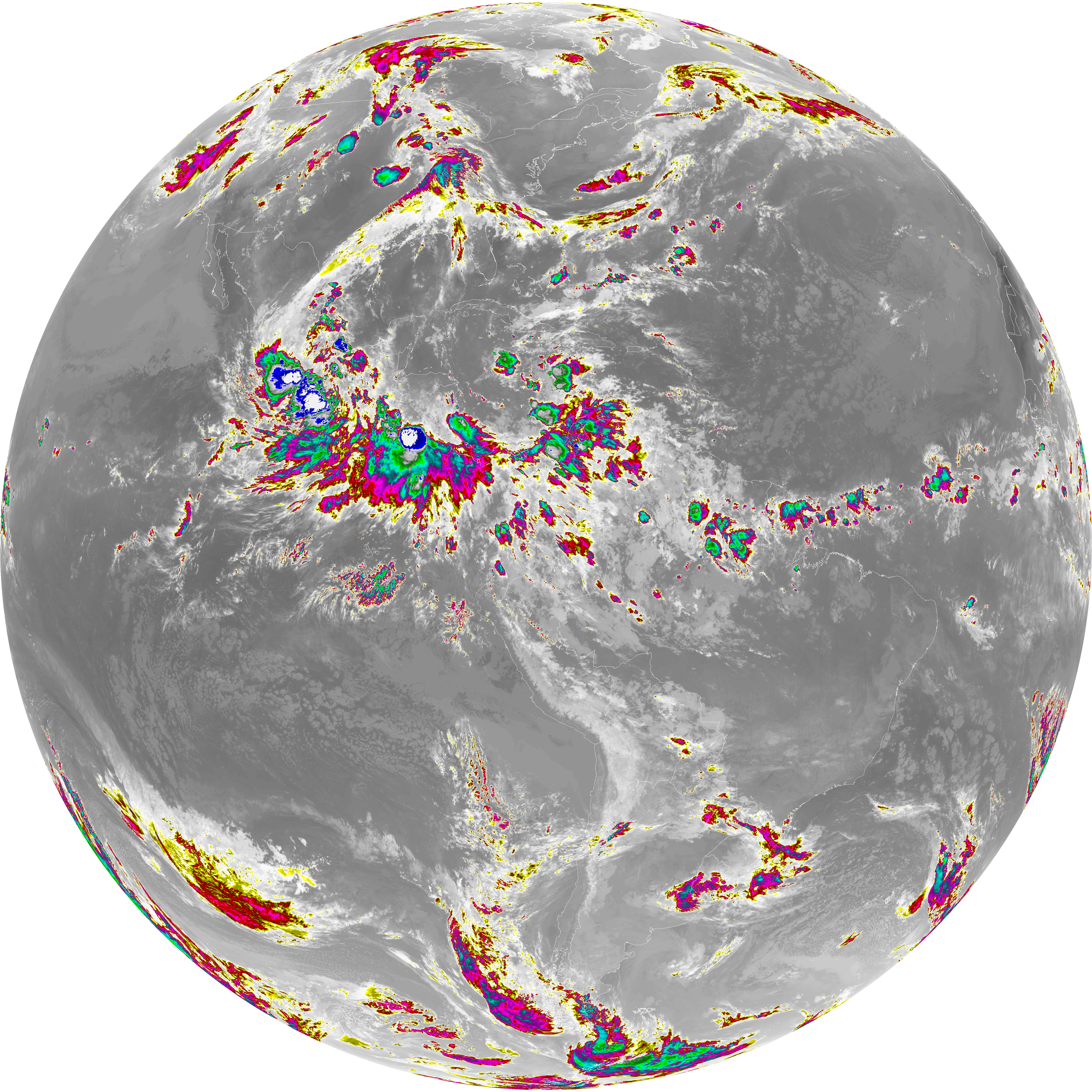
| abi_rgb_Dirty_Longwave_Window_map.png | 13461480 | 2026-Jun-08 10:58 |
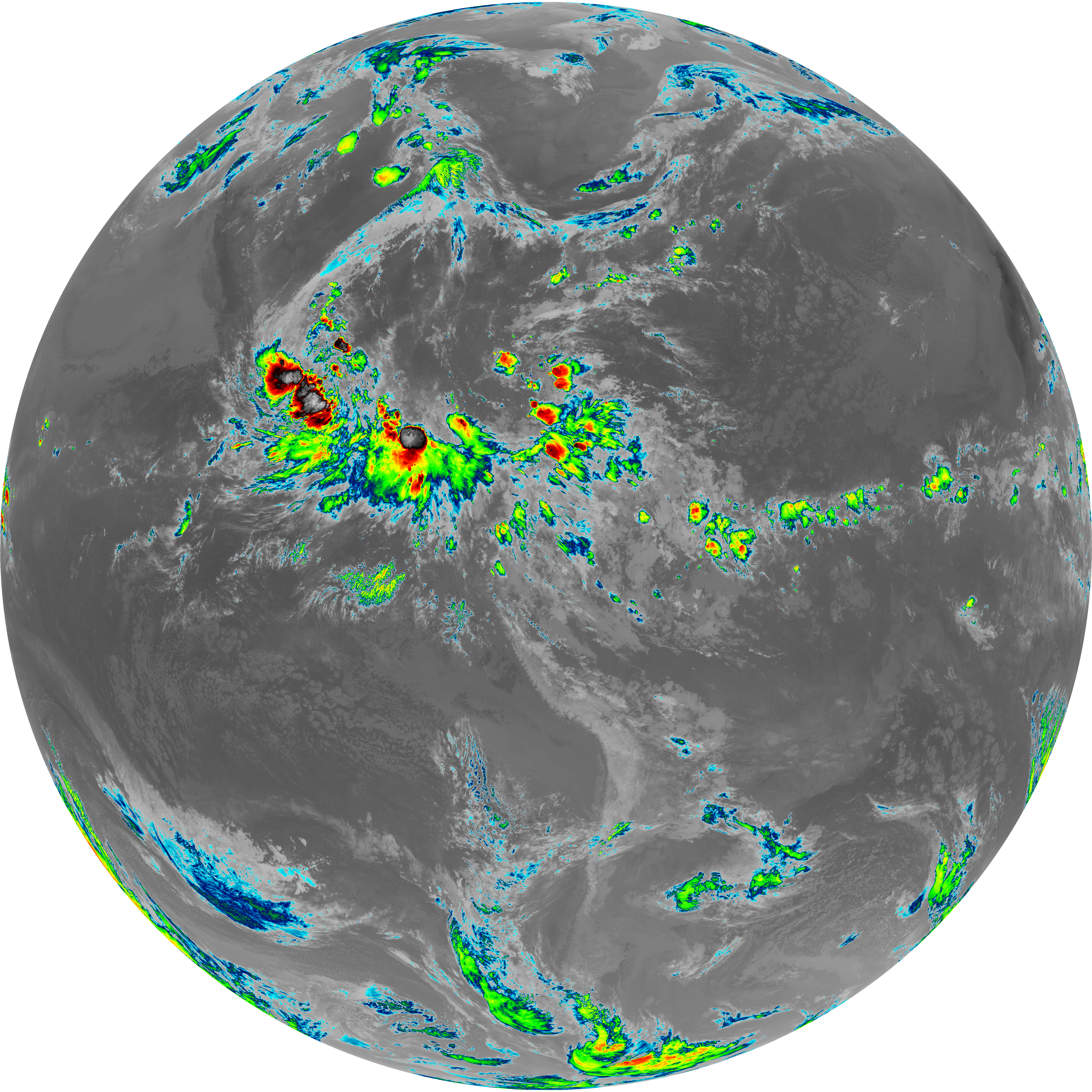
| abi_rgb_Dirty_Longwave_Window_-_CIRA.png | 11714824 | 2026-Jun-08 10:58 |
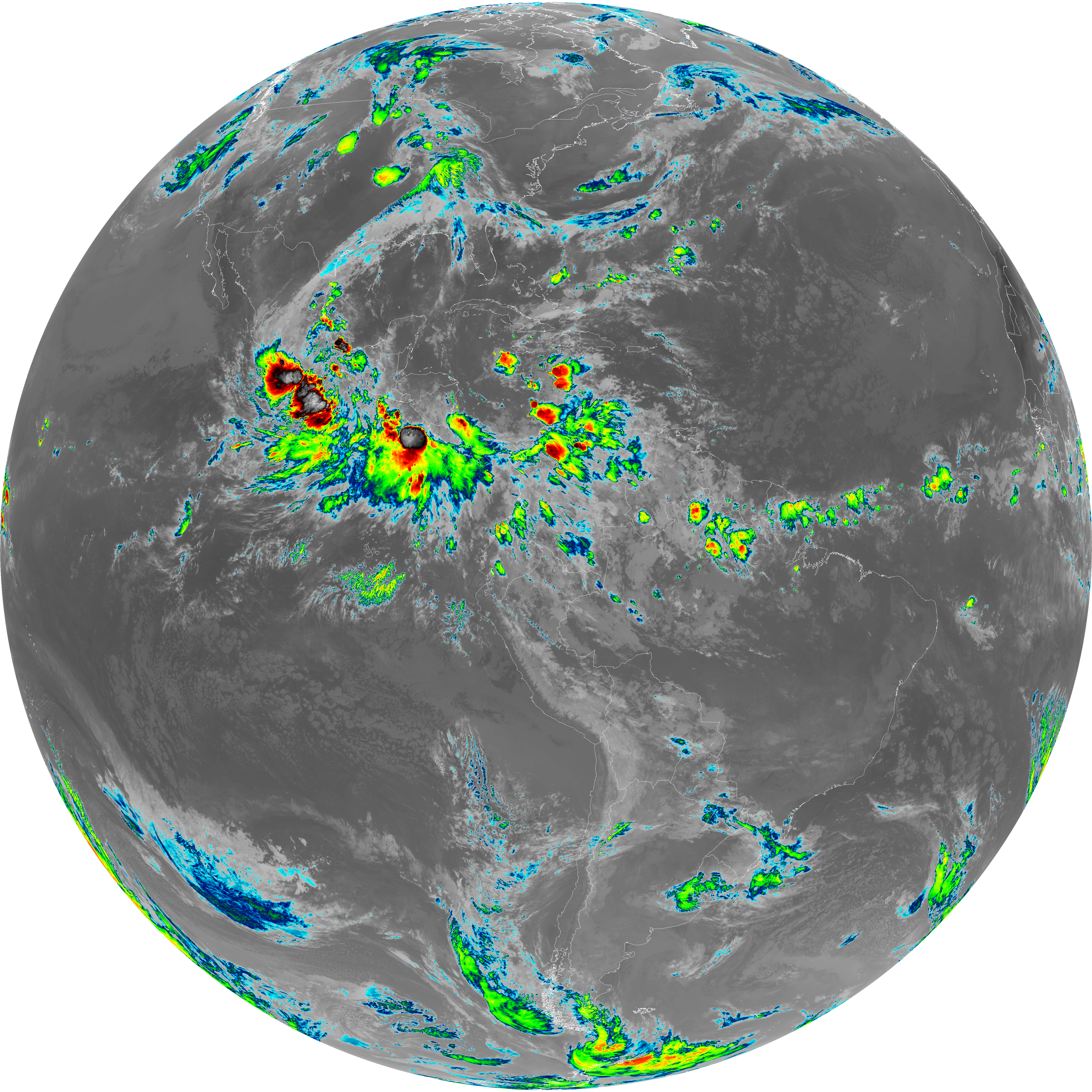
| abi_rgb_Dirty_Longwave_Window_-_CIRA_map.png | 11775517 | 2026-Jun-08 10:58 |