| Parent directory/ | - | - |
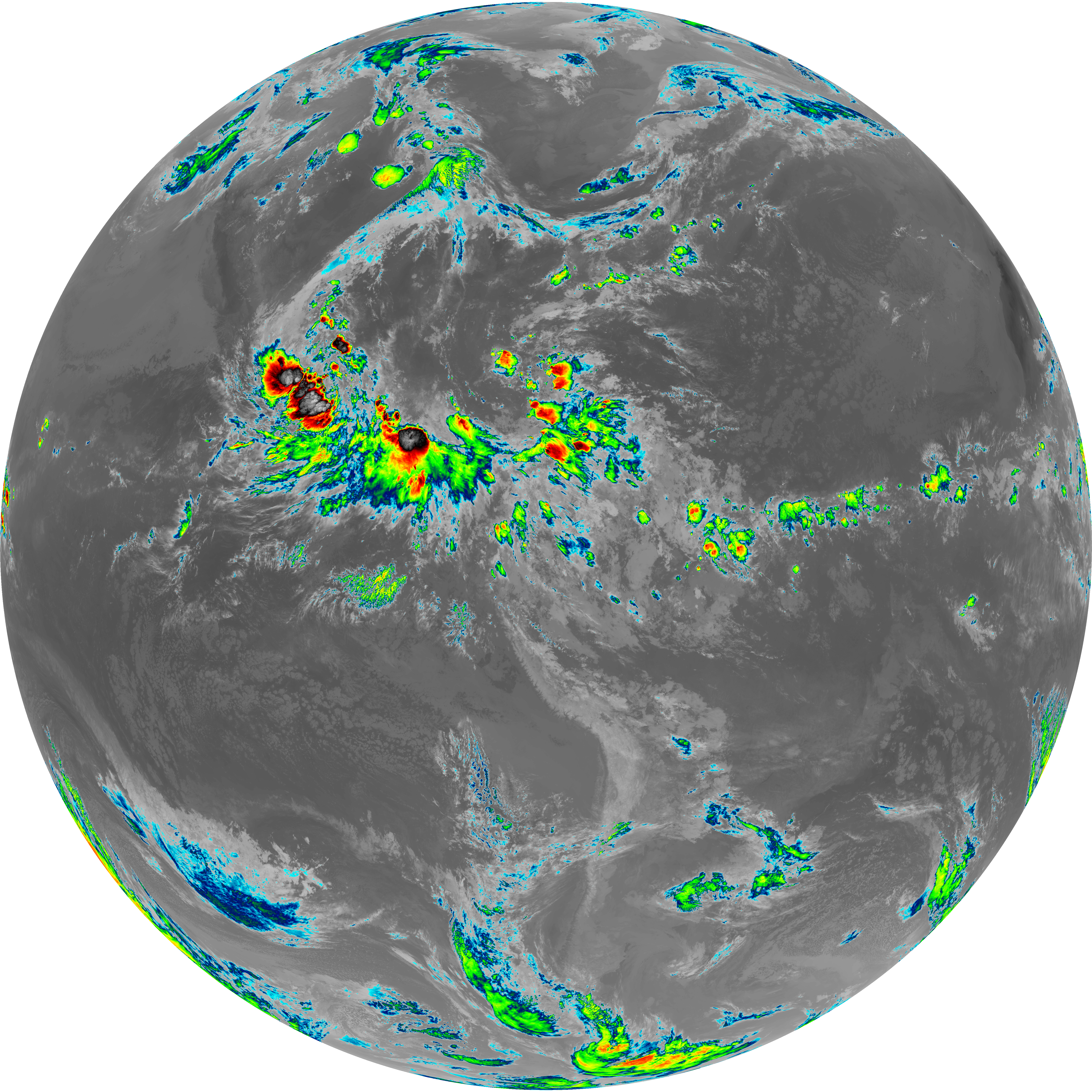
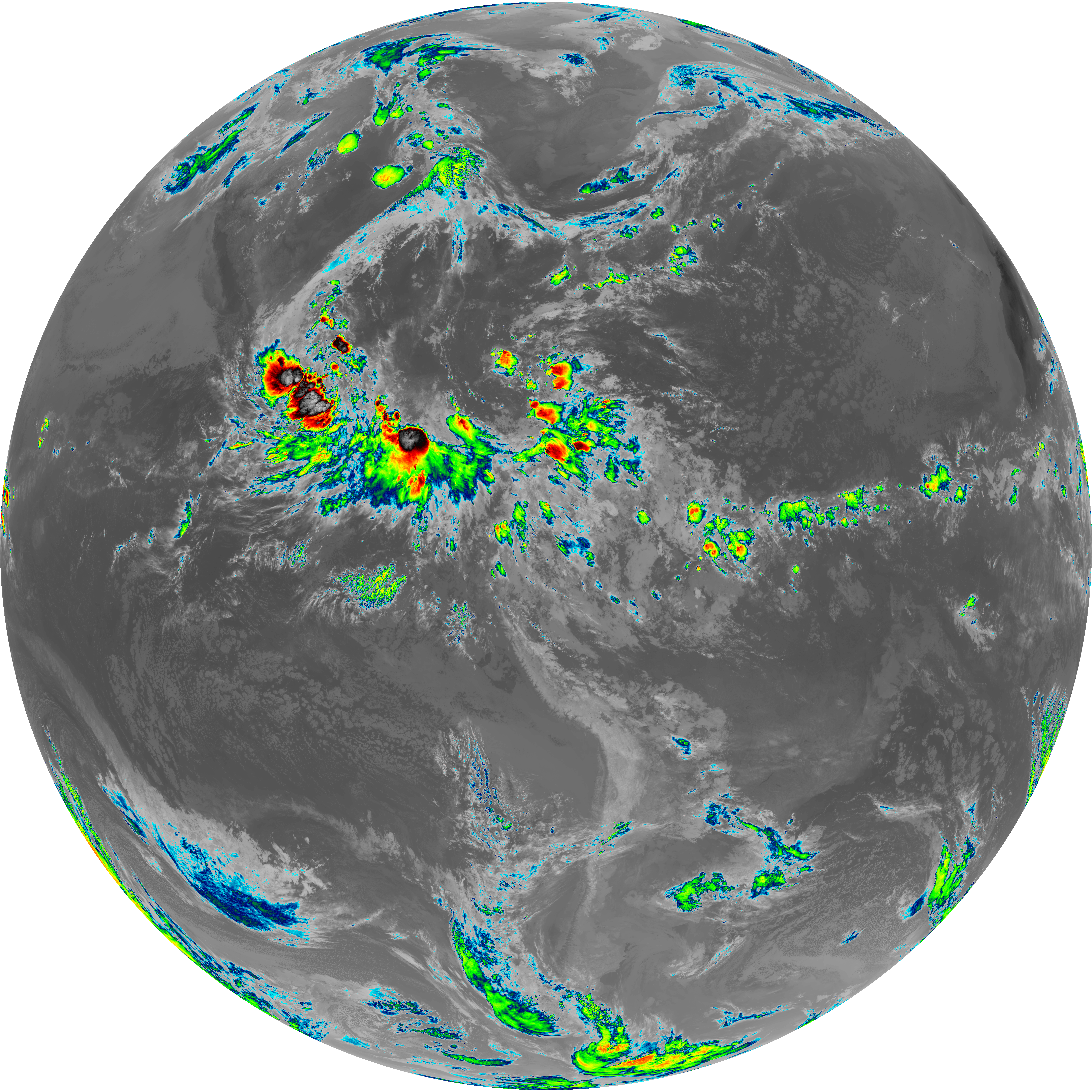
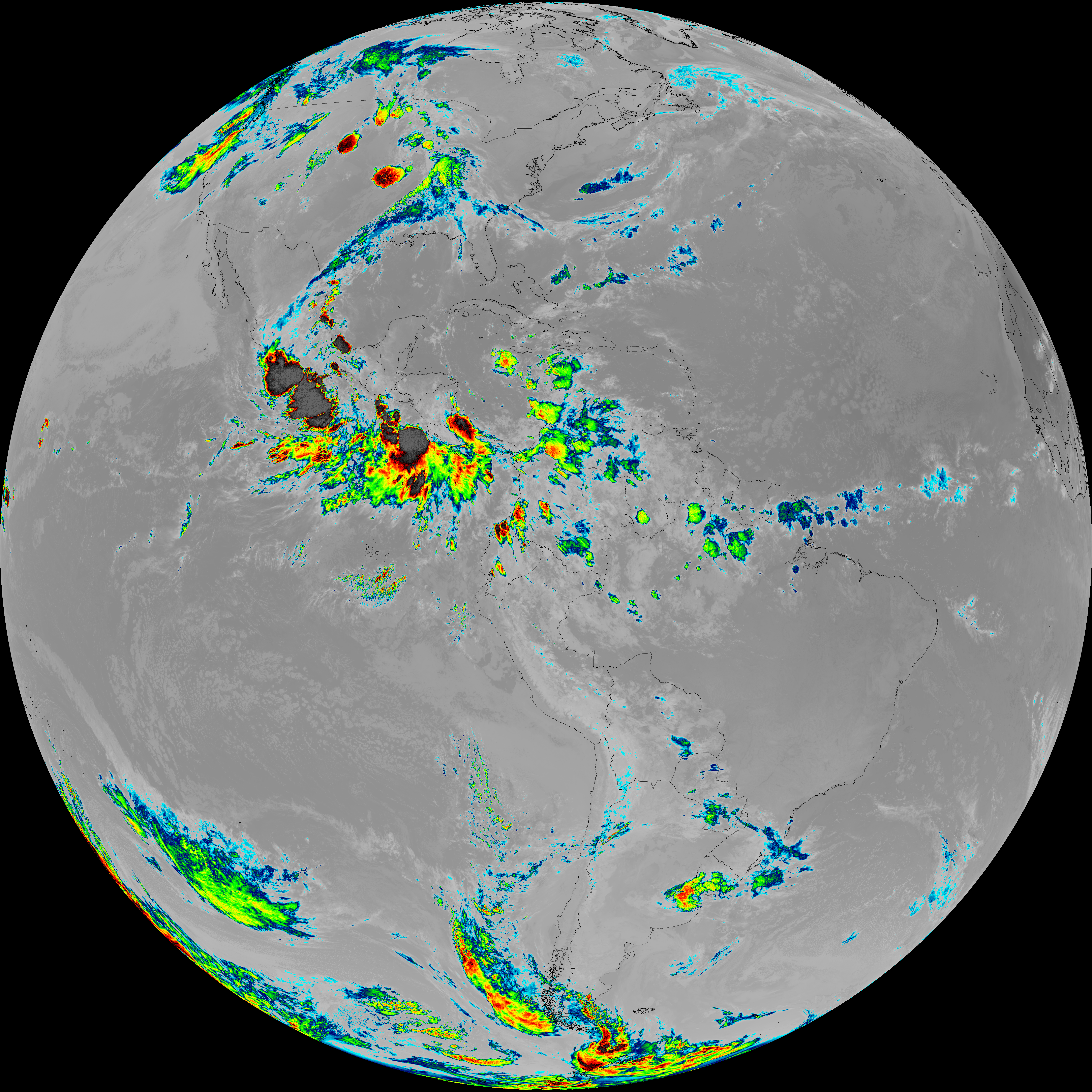
| G19_13_20260608T110021Z.png | 10101678 | 2026-Jun-08 11:16 |
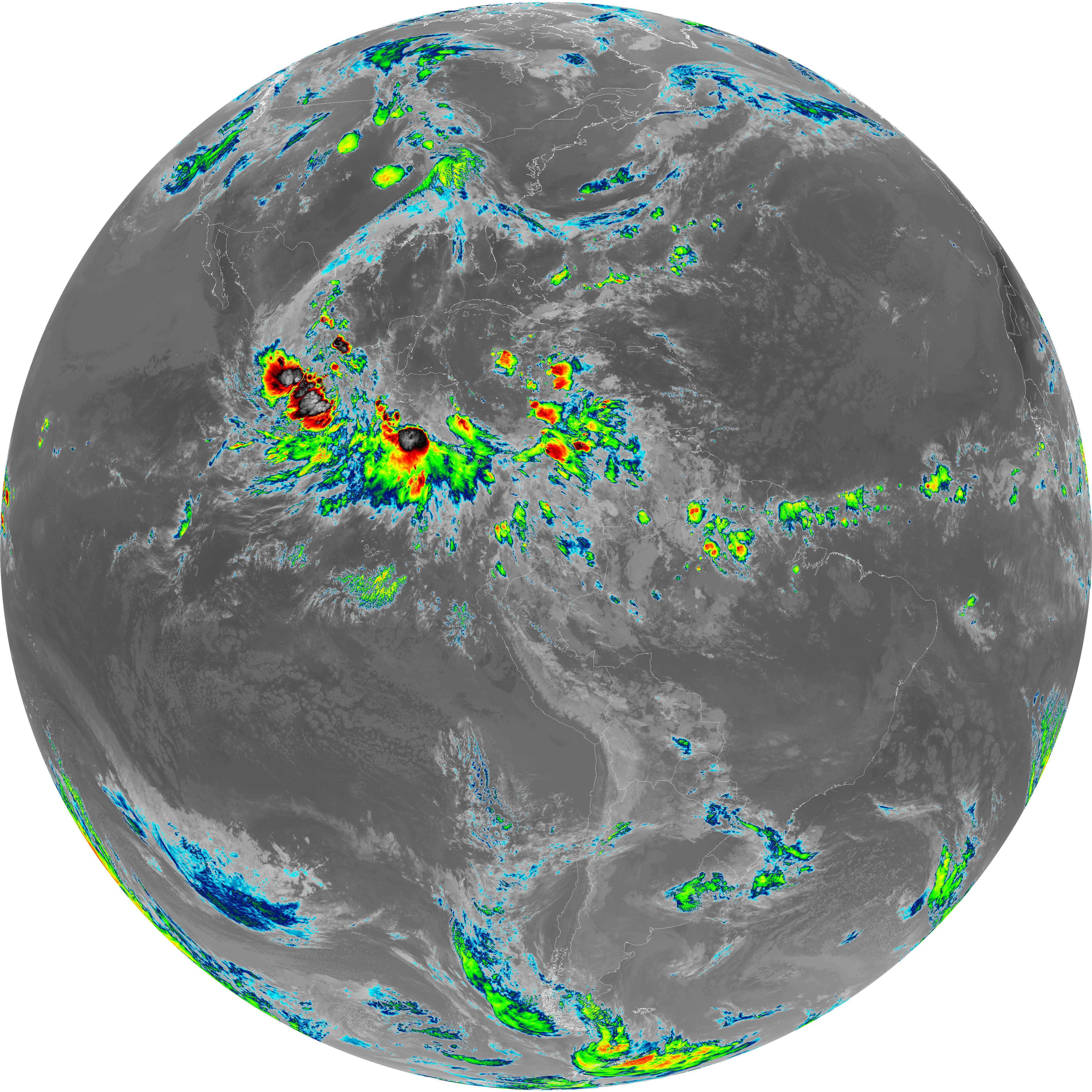
| G19_14_20260608T110021Z.png | 10237062 | 2026-Jun-08 11:23 |
| G19_15_20260608T110021Z.png | 9957629 | 2026-Jun-08 11:26 |
| G19_2_20260608T110021Z.png | 7356174 | 2026-Jun-08 11:18 |
| G19_7_20260608T110021Z.png | 10714861 | 2026-Jun-08 11:13 |
| G19_8_20260608T110021Z.png | 5451905 | 2026-Jun-08 11:28 |
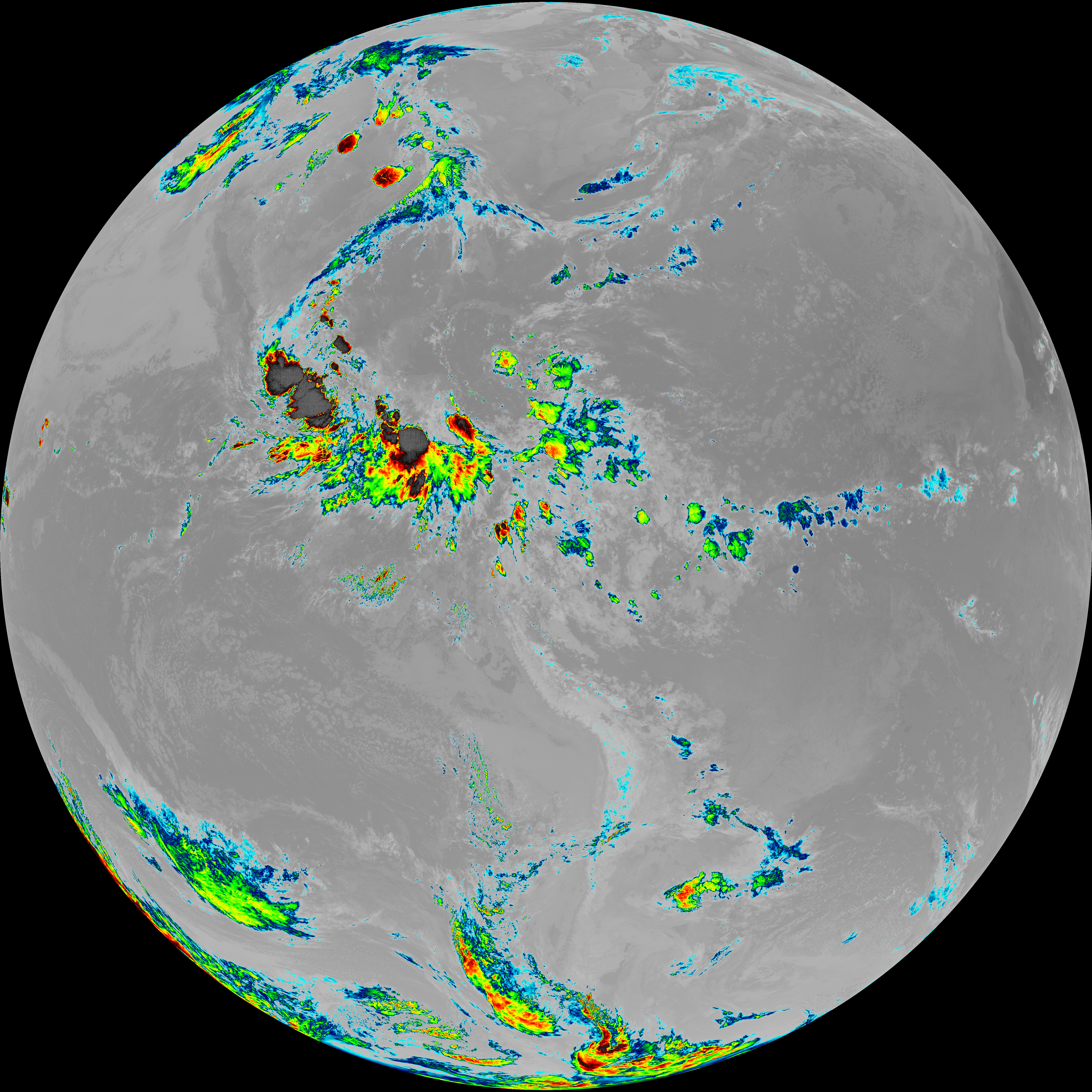
| G19_9_20260608T110021Z.png | 6281361 | 2026-Jun-08 11:20 |
| abi_rgb_Clean_Longwave_IR_Window_Band.png | 13575945 | 2026-Jun-08 11:16 |
| abi_rgb_Clean_Longwave_IR_Window_Band_map.png | 13620388 | 2026-Jun-08 11:16 |
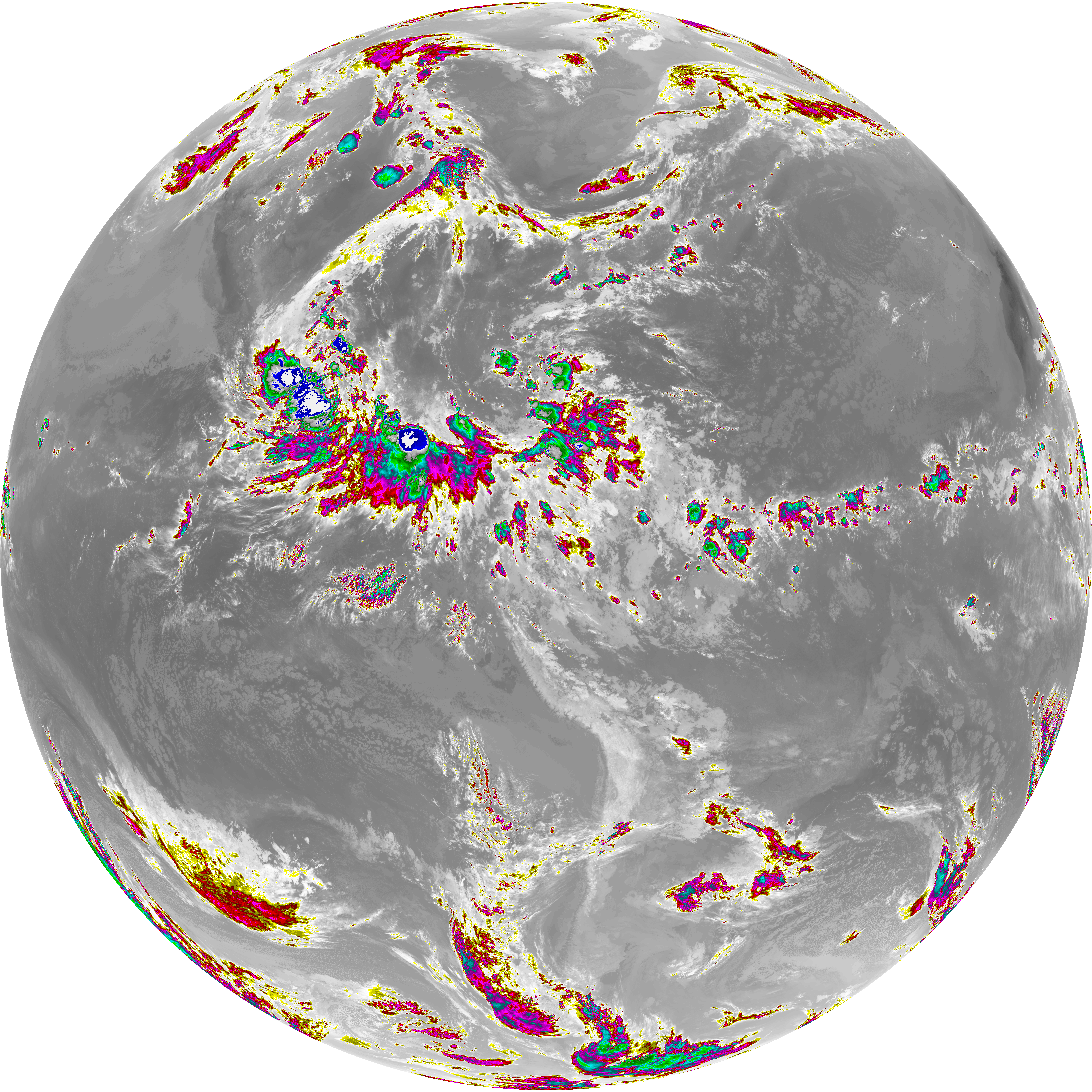
| abi_rgb_Dirty_Longwave_Window.png | 13403682 | 2026-Jun-08 11:27 |
| abi_rgb_Dirty_Longwave_Window_-_CIRA.png | 11711854 | 2026-Jun-08 11:27 |
| abi_rgb_Dirty_Longwave_Window_-_CIRA_map.png | 11772926 | 2026-Jun-08 11:27 |
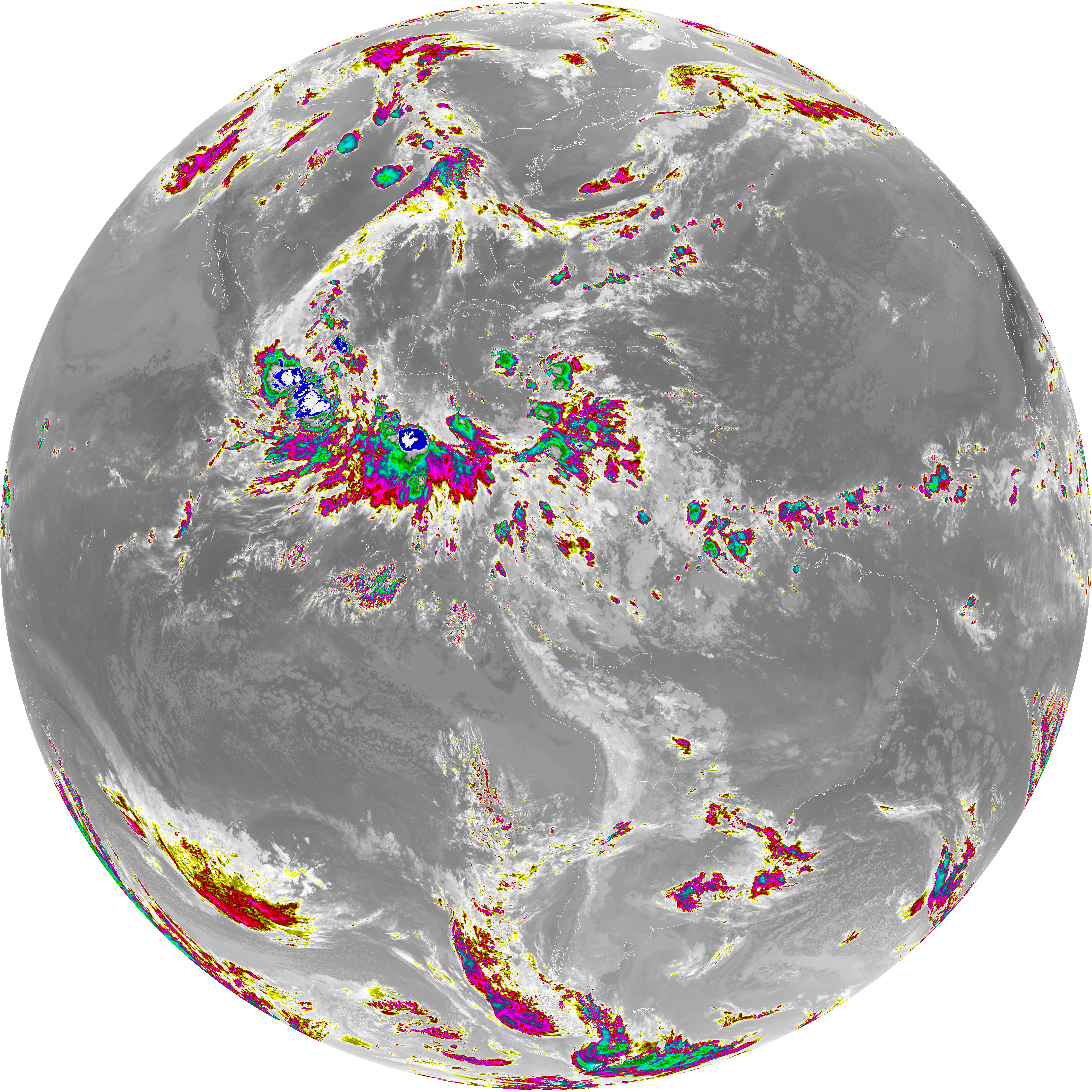
| abi_rgb_Dirty_Longwave_Window_map.png | 13451027 | 2026-Jun-08 11:27 |
| abi_rgb_Infrared_Longwave_Window_Band.png | 13732961 | 2026-Jun-08 11:24 |
| abi_rgb_Infrared_Longwave_Window_Band_map.png | 13776003 | 2026-Jun-08 11:24 |
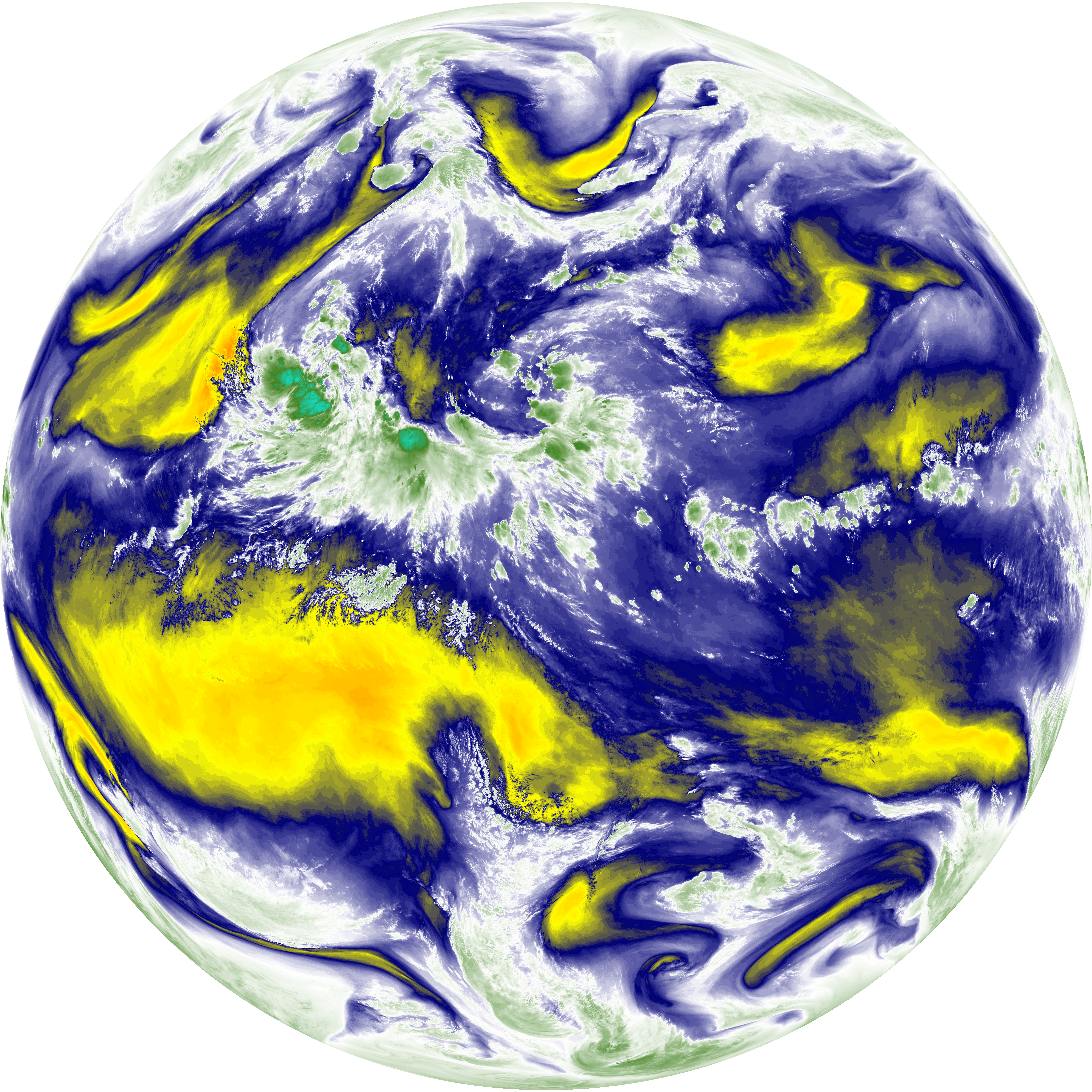
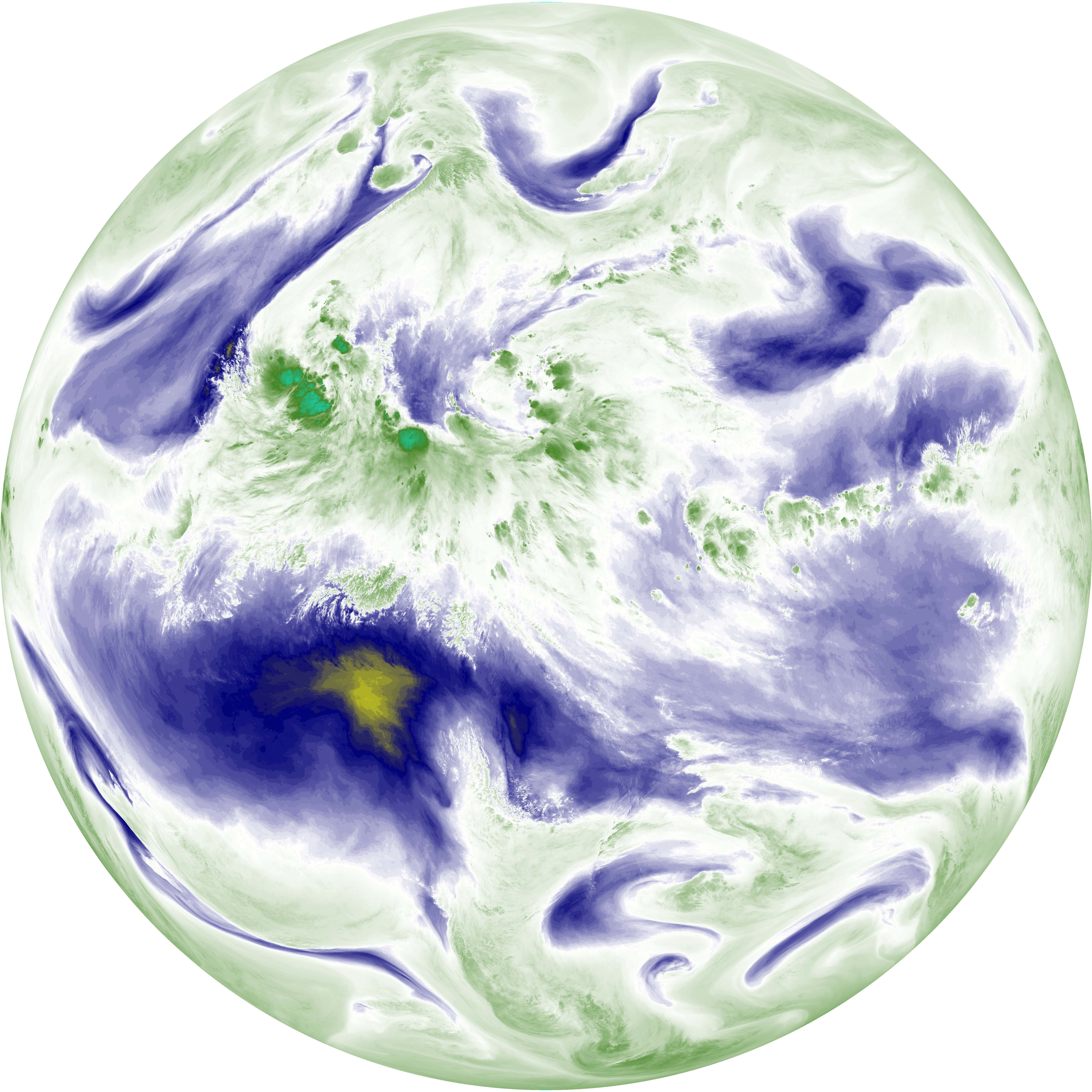
| abi_rgb_Mid-level_Tropospheric_Water_Vapor.png | 8476407 | 2026-Jun-08 11:20 |
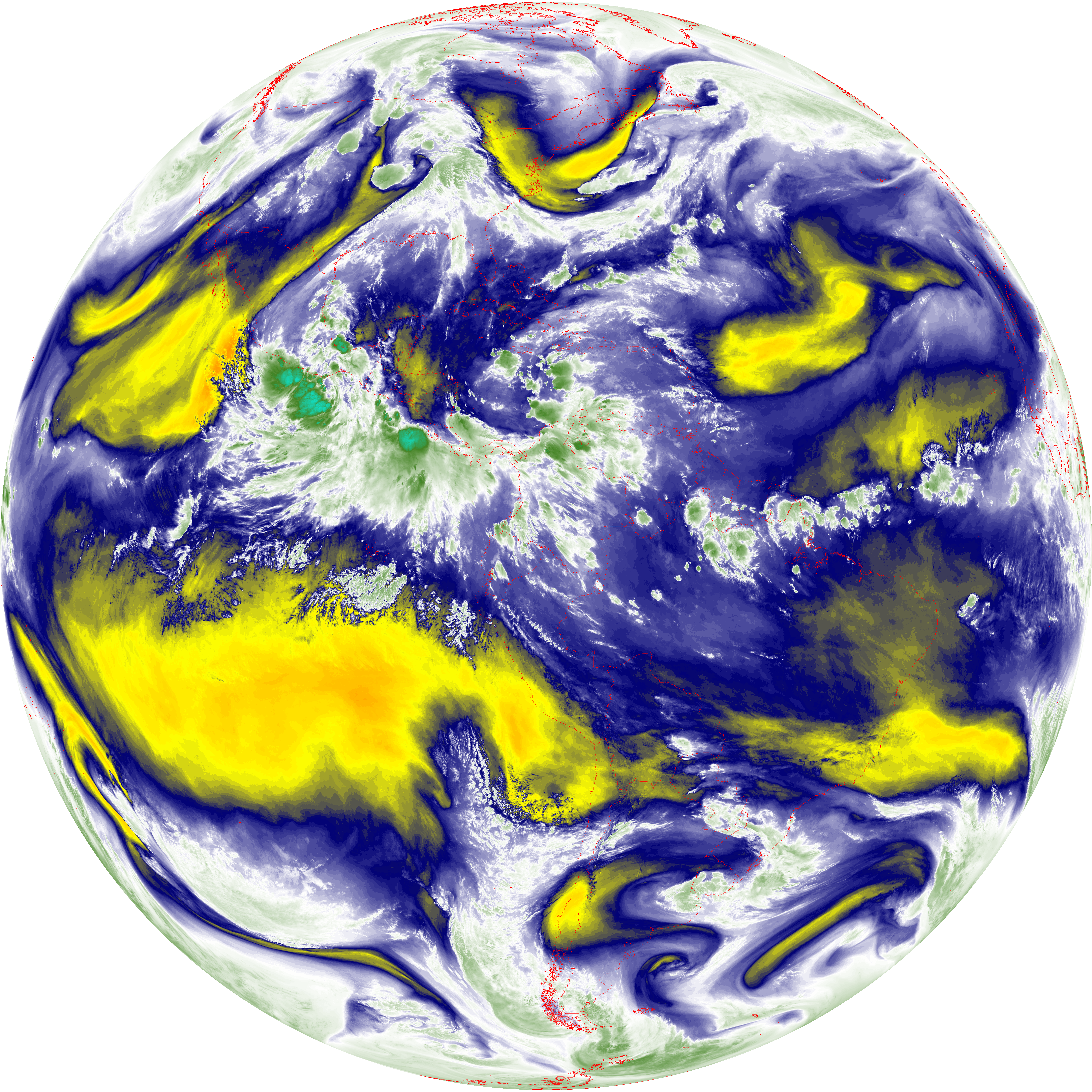
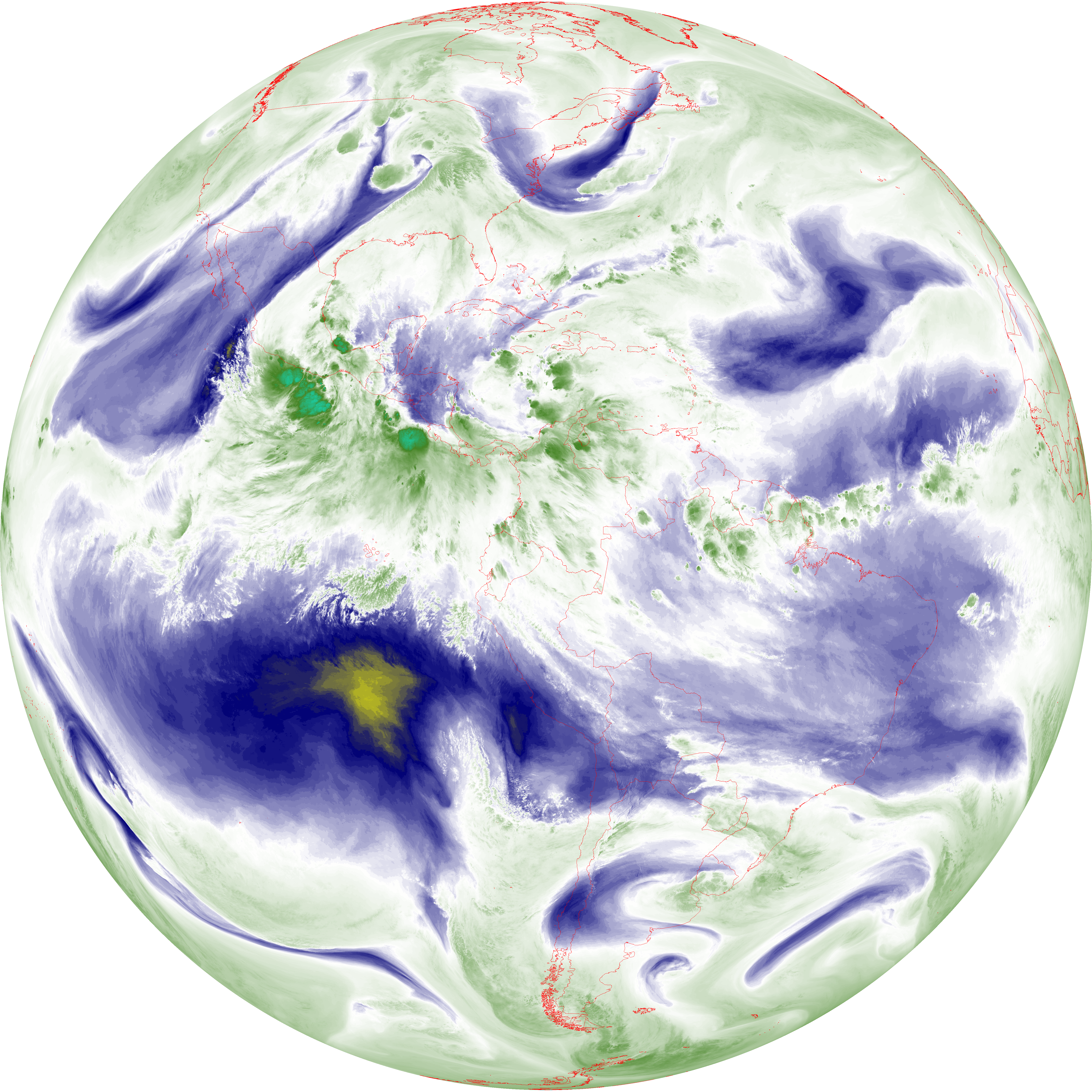
| abi_rgb_Mid-level_Tropospheric_Water_Vapor_map.png | 8582610 | 2026-Jun-08 11:20 |
| abi_rgb_Shortwave_Window_Band.png | 14581526 | 2026-Jun-08 11:13 |
| abi_rgb_Shortwave_Window_Band_map.png | 14640847 | 2026-Jun-08 11:13 |
| abi_rgb_Upper-Level_Tropospheric_Water_Vapor.png | 7298570 | 2026-Jun-08 11:28 |
| abi_rgb_Upper-Level_Tropospheric_Water_Vapor_map.png | 7413737 | 2026-Jun-08 11:28 |