| Parent directory/ | - | - |
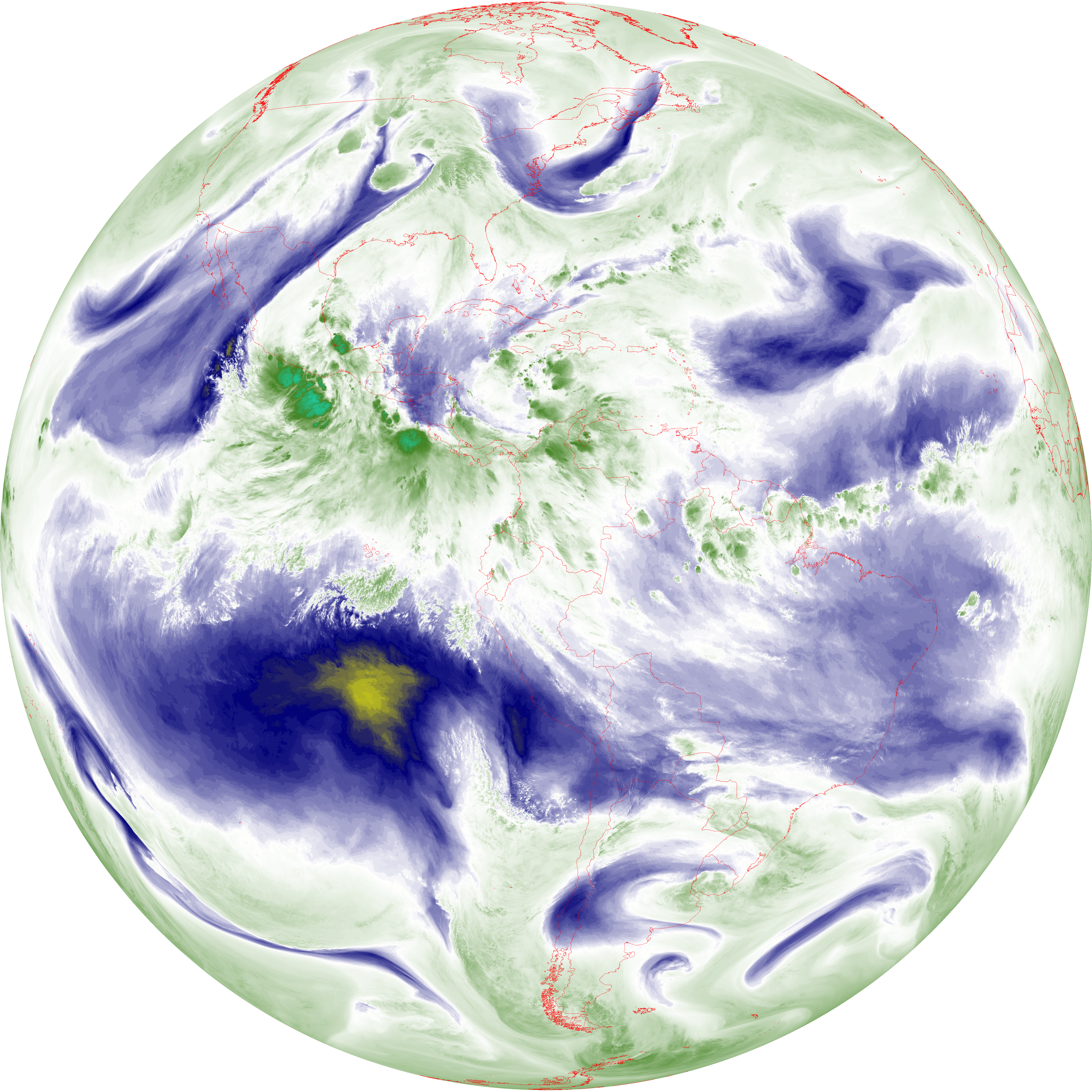
| abi_rgb_Upper-Level_Tropospheric_Water_Vapor_map.png | 7413272 | 2026-Jun-08 11:50 |
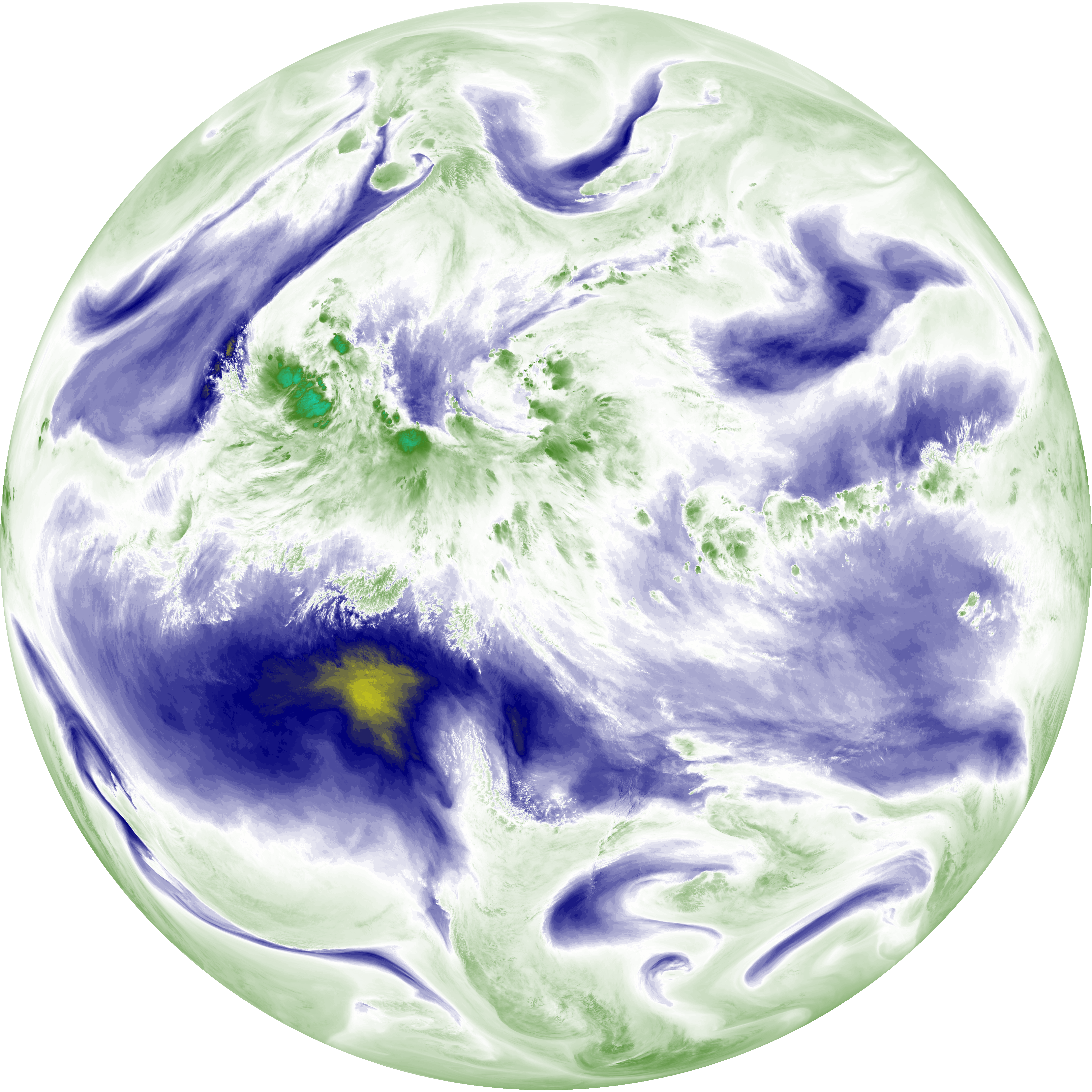
| abi_rgb_Upper-Level_Tropospheric_Water_Vapor.png | 7298620 | 2026-Jun-08 11:50 |
| abi_rgb_Shortwave_Window_Band_map.png | 14527091 | 2026-Jun-08 11:43 |
| abi_rgb_Shortwave_Window_Band.png | 14468465 | 2026-Jun-08 11:43 |
| abi_rgb_Mid-level_Tropospheric_Water_Vapor_map.png | 8574770 | 2026-Jun-08 11:52 |
| abi_rgb_Mid-level_Tropospheric_Water_Vapor.png | 8468180 | 2026-Jun-08 11:52 |
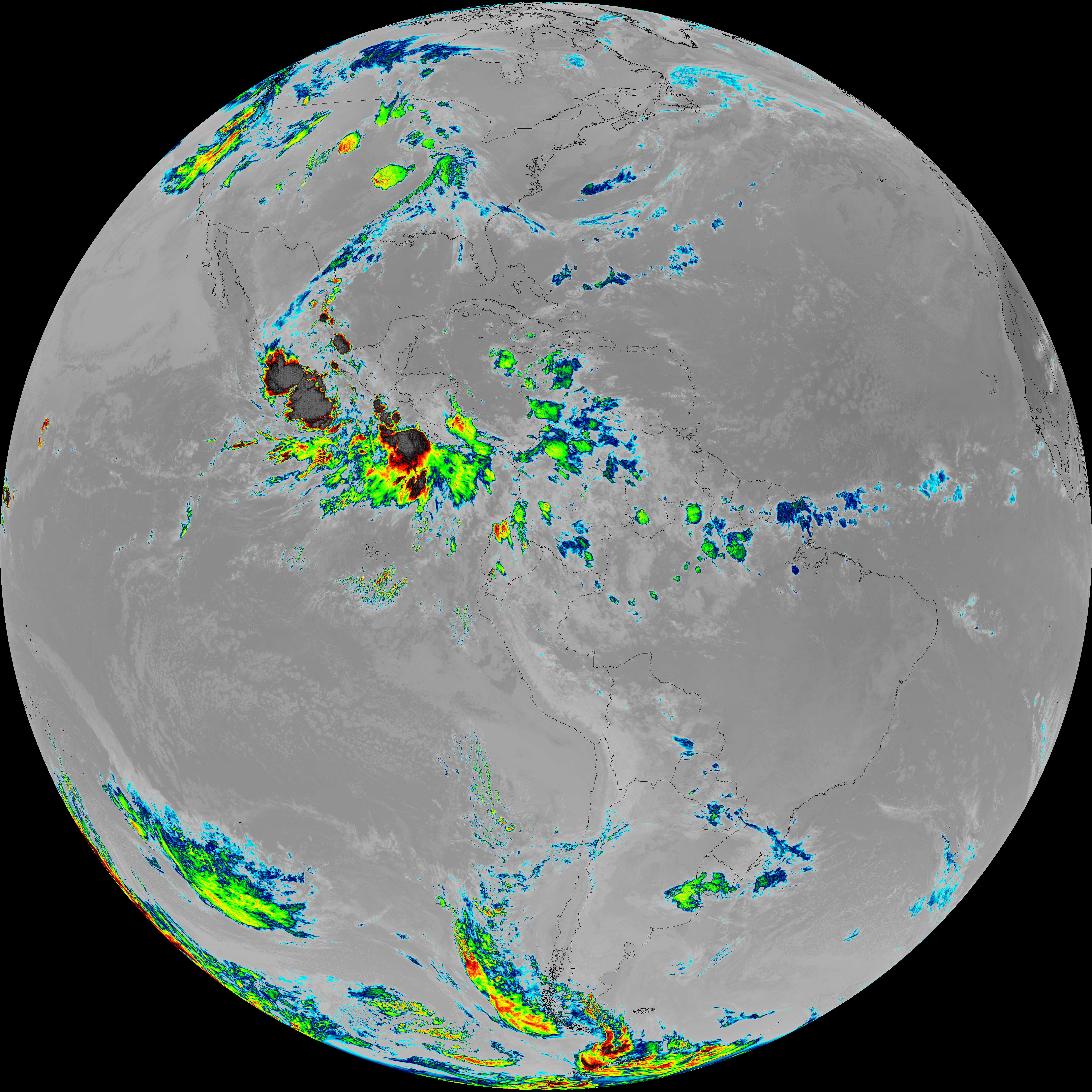
| abi_rgb_Infrared_Longwave_Window_Band_map.png | 13768055 | 2026-Jun-08 11:55 |
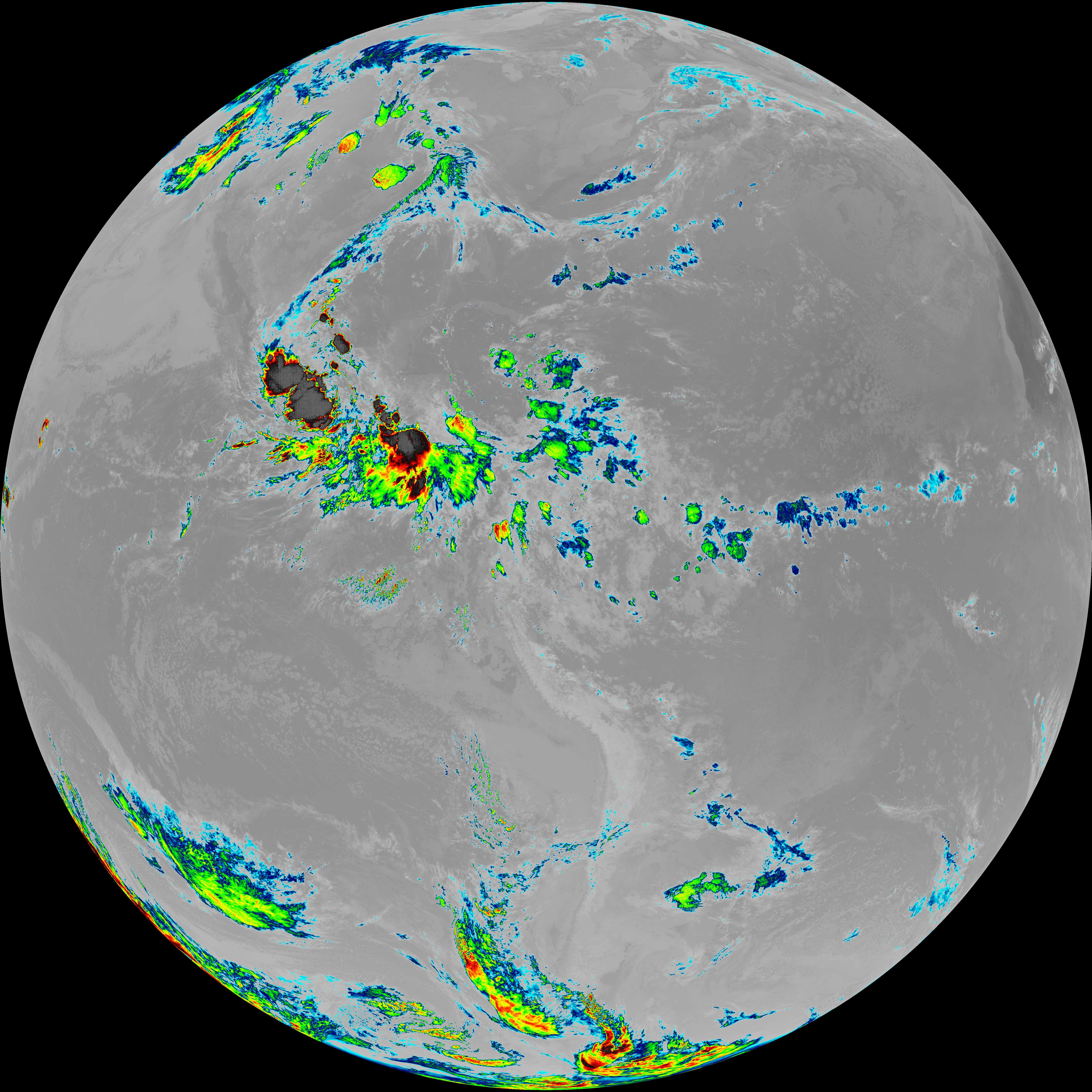
| abi_rgb_Infrared_Longwave_Window_Band.png | 13724221 | 2026-Jun-08 11:55 |
| abi_rgb_Dirty_Longwave_Window_map.png | 13448278 | 2026-Jun-08 11:58 |
| abi_rgb_Dirty_Longwave_Window_-_CIRA_map.png | 11798071 | 2026-Jun-08 11:58 |
| abi_rgb_Dirty_Longwave_Window_-_CIRA.png | 11737243 | 2026-Jun-08 11:58 |
| abi_rgb_Dirty_Longwave_Window.png | 13401405 | 2026-Jun-08 11:58 |
| abi_rgb_Clean_Longwave_IR_Window_Band_map.png | 13615696 | 2026-Jun-08 11:46 |
| abi_rgb_Clean_Longwave_IR_Window_Band.png | 13571266 | 2026-Jun-08 11:46 |
| G19_9_20260608T113021Z.png | 6272774 | 2026-Jun-08 11:52 |
| G19_8_20260608T113021Z.png | 5450321 | 2026-Jun-08 11:50 |
| G19_7_20260608T113021Z.png | 10606142 | 2026-Jun-08 11:43 |
| G19_2_20260608T113021Z.png | 8449966 | 2026-Jun-08 11:48 |
| G19_15_20260608T113021Z.png | 9950146 | 2026-Jun-08 11:58 |
| G19_14_20260608T113021Z.png | 10229593 | 2026-Jun-08 11:55 |
| G19_13_20260608T113021Z.png | 10096821 | 2026-Jun-08 11:46 |