| Parent directory/ | - | - |
| abi_rgb_Shortwave_Window_Band_map.png | 14446684 | 2026-Jun-08 12:13 |
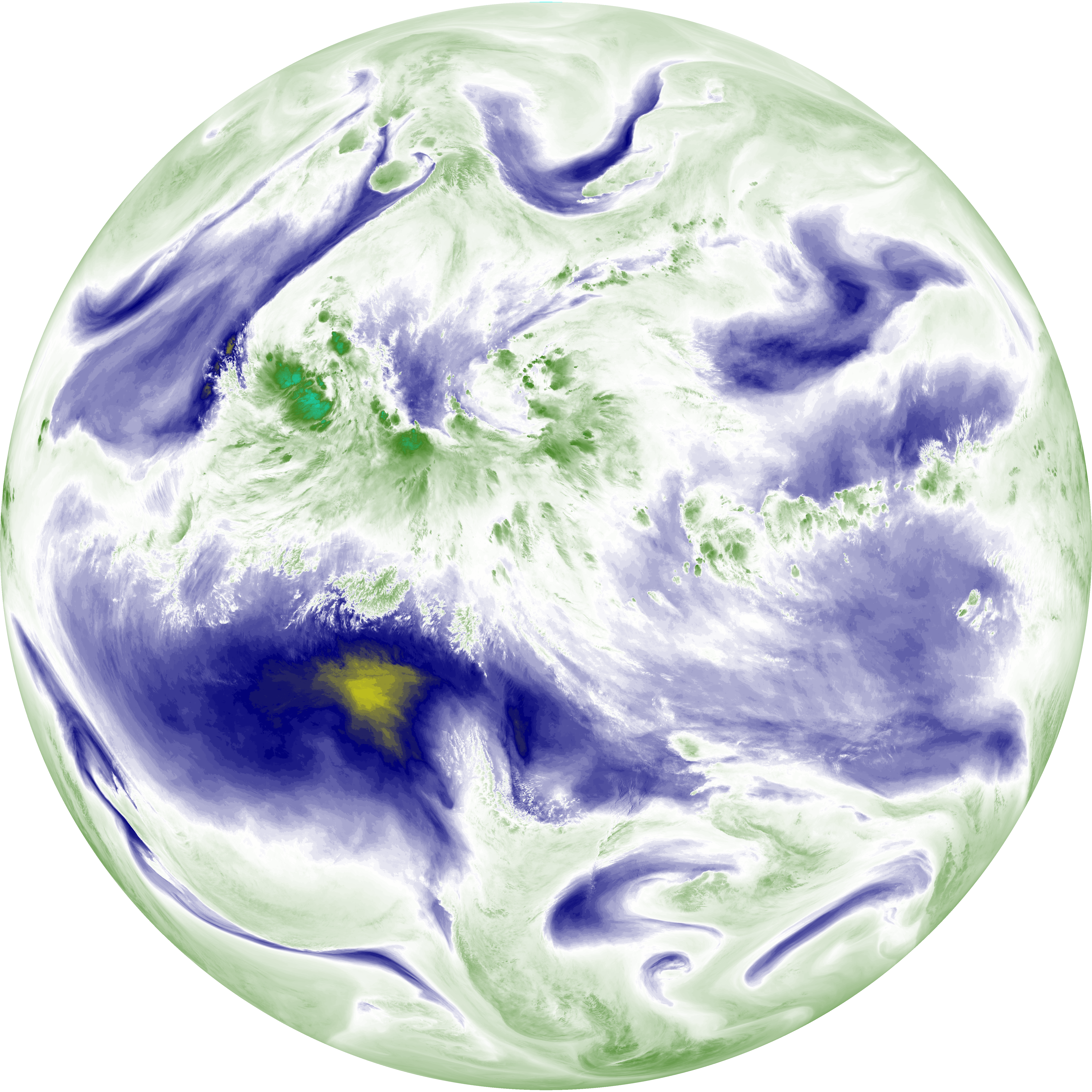
| abi_rgb_Shortwave_Window_Band.png | 14387580 | 2026-Jun-08 12:13 |
| abi_rgb_Infrared_Longwave_Window_Band_map.png | 13786847 | 2026-Jun-08 12:26 |
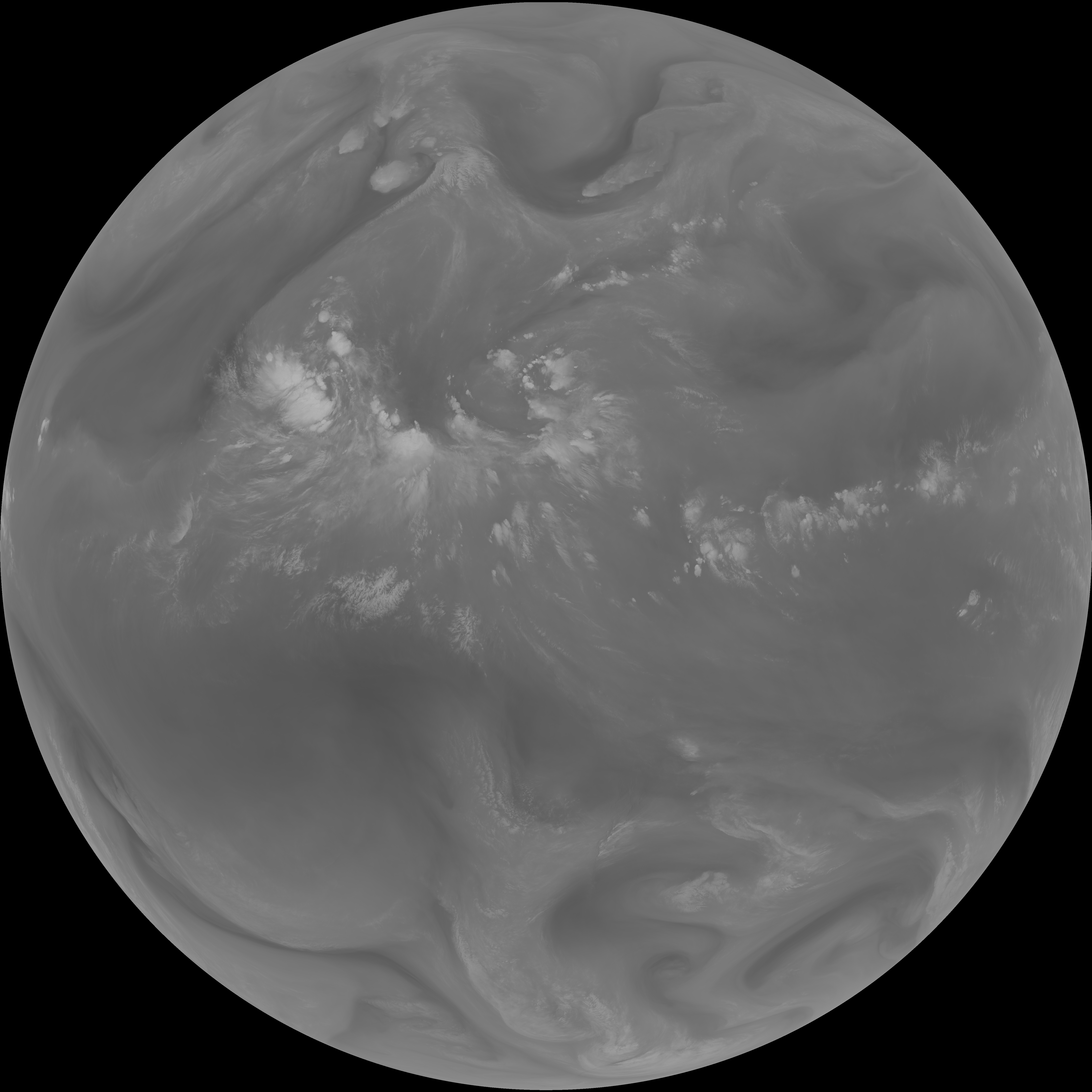
| abi_rgb_Infrared_Longwave_Window_Band.png | 13744126 | 2026-Jun-08 12:26 |
| abi_rgb_Clean_Longwave_IR_Window_Band_map.png | 13634903 | 2026-Jun-08 12:16 |
| abi_rgb_Clean_Longwave_IR_Window_Band.png | 13592136 | 2026-Jun-08 12:16 |
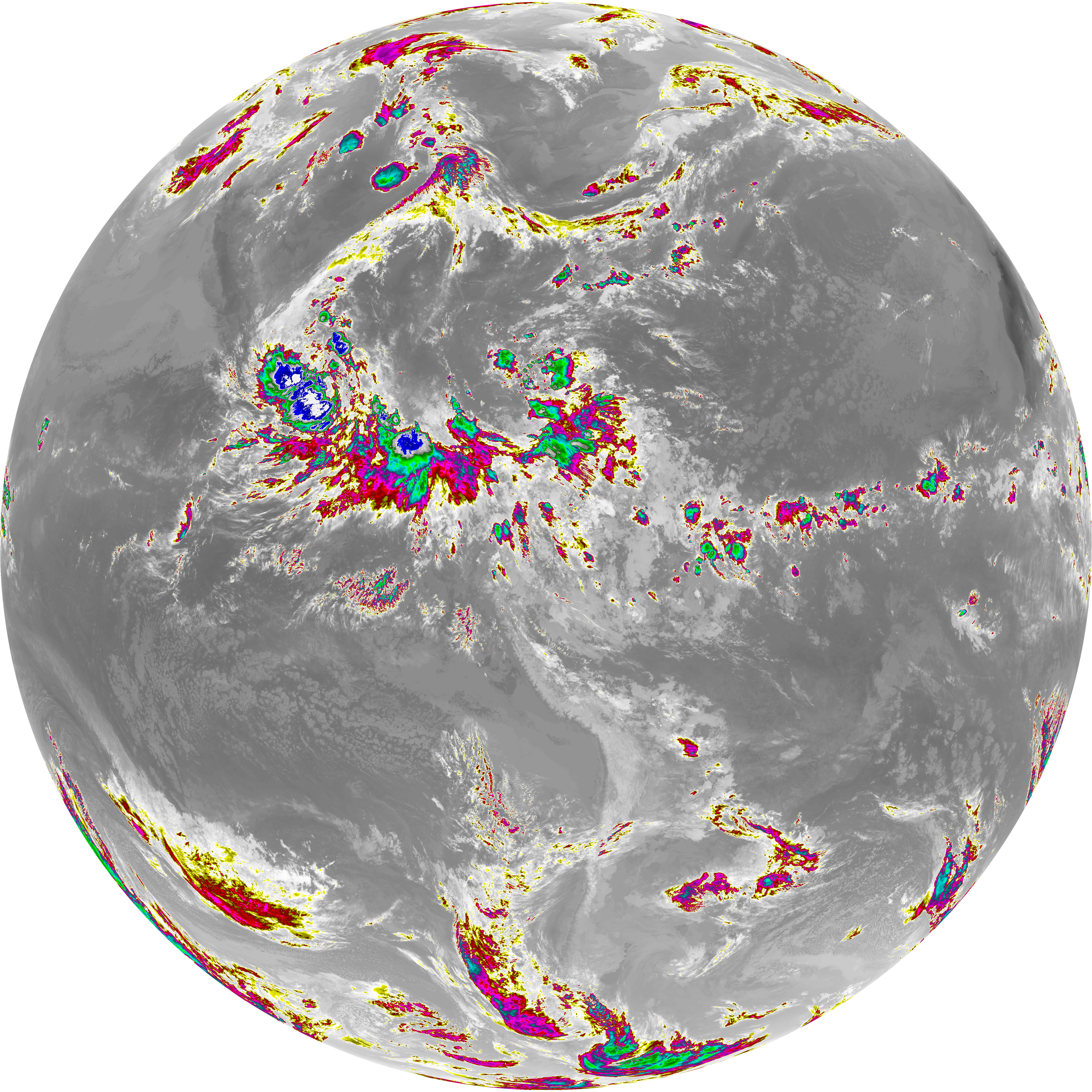
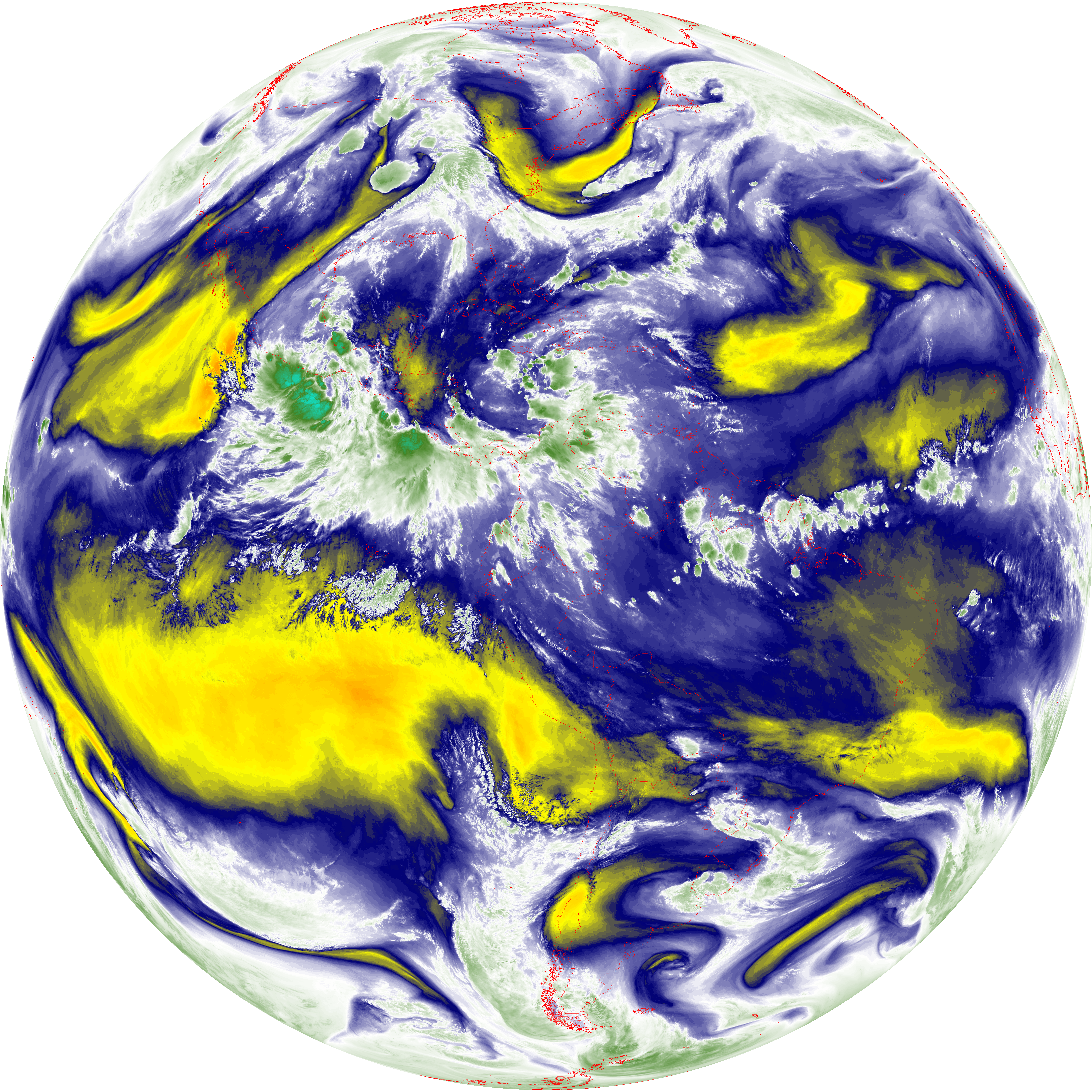
| abi_rgb_Dirty_Longwave_Window_map.png | 13463070 | 2026-Jun-08 12:29 |
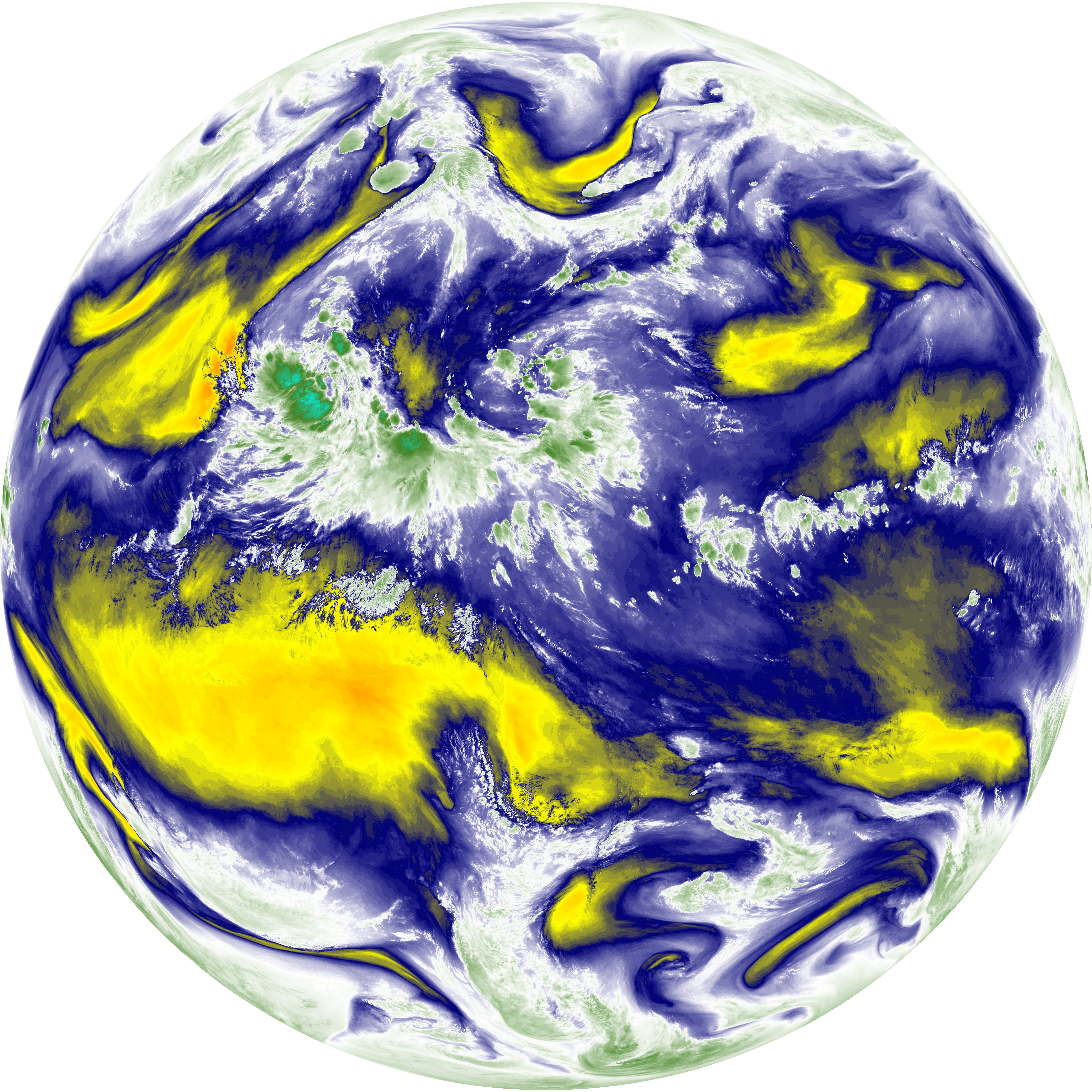
| abi_rgb_Dirty_Longwave_Window.png | 13416622 | 2026-Jun-08 12:29 |
| abi_rgb_Dirty_Longwave_Window_-_CIRA_map.png | 11838511 | 2026-Jun-08 12:29 |
| abi_rgb_Dirty_Longwave_Window_-_CIRA.png | 11779123 | 2026-Jun-08 12:29 |
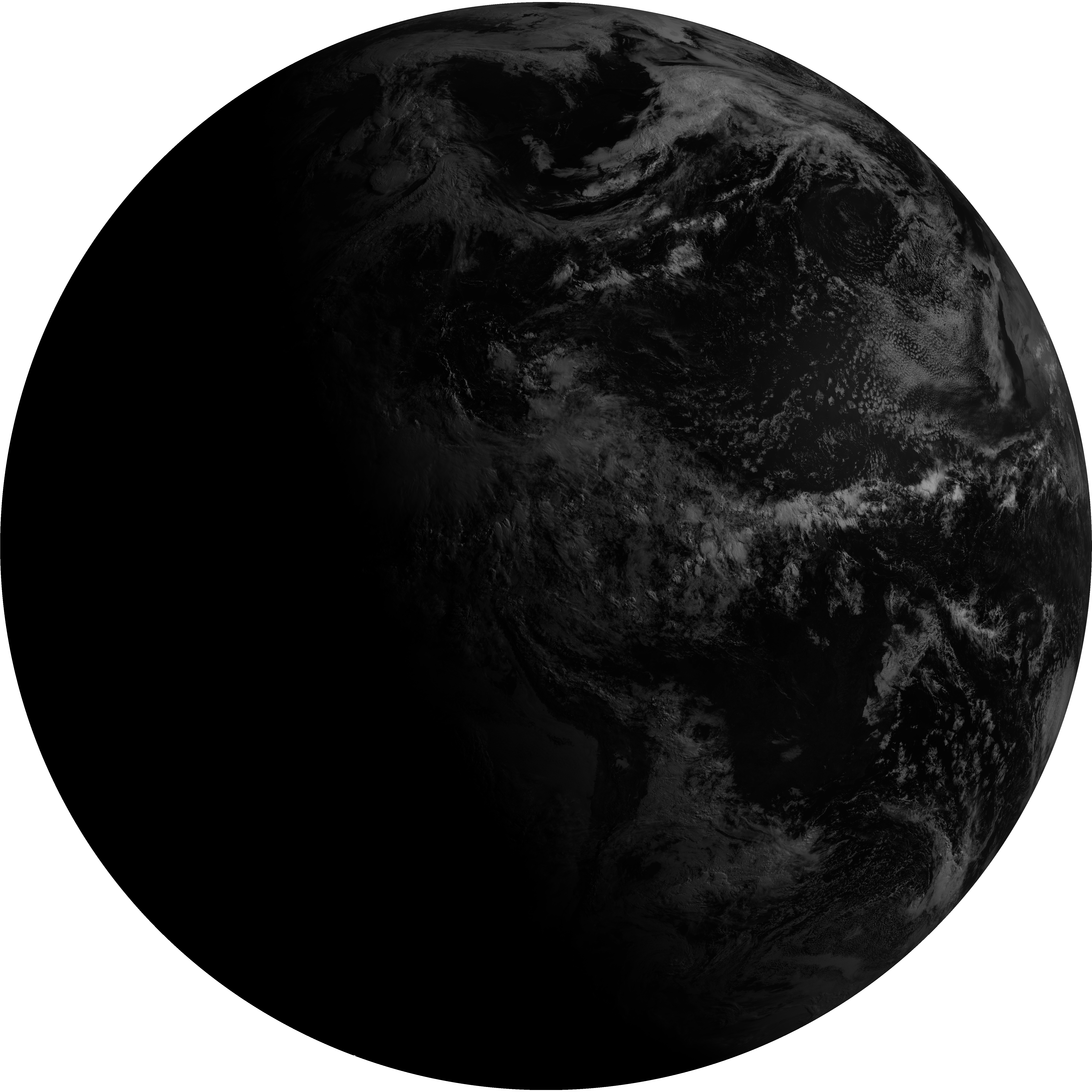
| G19_7_20260608T120021Z.png | 10523587 | 2026-Jun-08 12:13 |
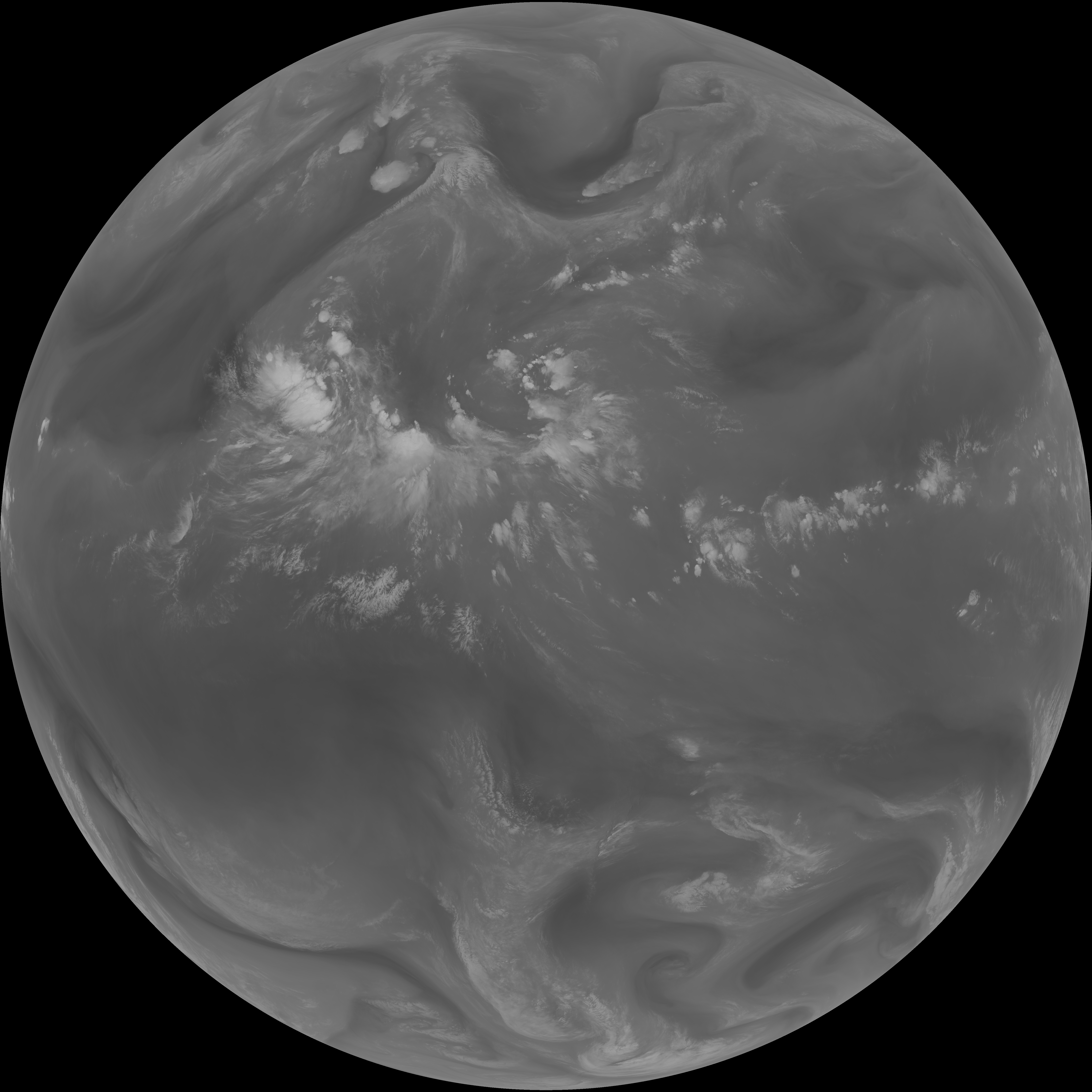
| G19_14_20260608T120021Z.png | 10245478 | 2026-Jun-08 12:26 |
| G19_13_20260608T120021Z.png | 10113783 | 2026-Jun-08 12:16 |
| G19_15_20260608T120021Z.png | 9961140 | 2026-Jun-08 12:29 |
| G19_2_20260608T120021Z.png | 9561560 | 2026-Jun-08 12:19 |
| abi_rgb_Mid-level_Tropospheric_Water_Vapor_map.png | 8574848 | 2026-Jun-08 12:23 |
| abi_rgb_Mid-level_Tropospheric_Water_Vapor.png | 8468798 | 2026-Jun-08 12:23 |
| abi_rgb_Upper-Level_Tropospheric_Water_Vapor_map.png | 7402019 | 2026-Jun-08 12:21 |
| abi_rgb_Upper-Level_Tropospheric_Water_Vapor.png | 7287386 | 2026-Jun-08 12:21 |
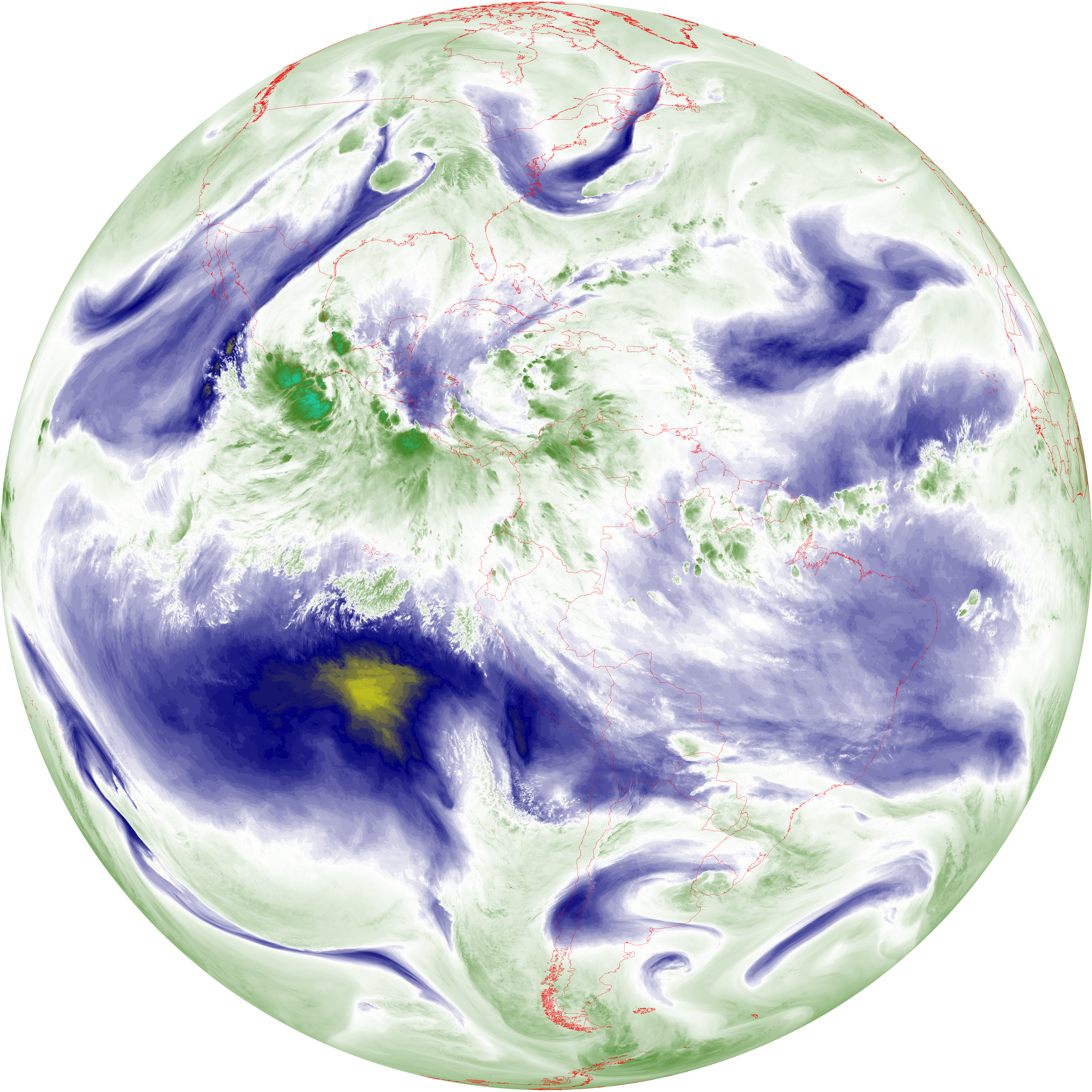
| G19_9_20260608T120021Z.png | 6272871 | 2026-Jun-08 12:23 |
| G19_8_20260608T120021Z.png | 5441535 | 2026-Jun-08 12:21 |