| Parent directory/ | - | - |
| G19_7_20260608T123021Z.png | 10462641 | 2026-Jun-08 12:43 |
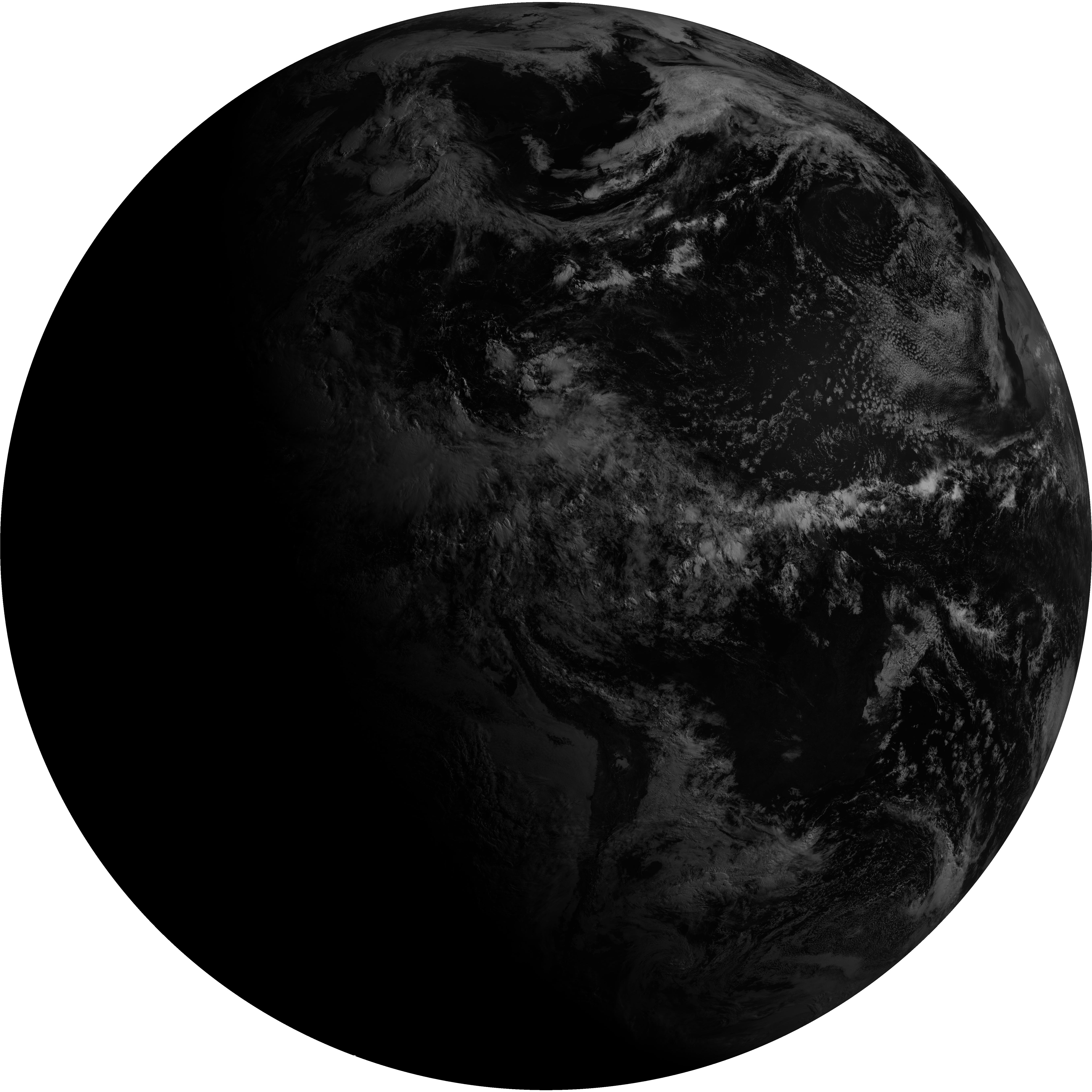
| abi_rgb_Shortwave_Window_Band.png | 14330525 | 2026-Jun-08 12:43 |
| abi_rgb_Shortwave_Window_Band_map.png | 14390300 | 2026-Jun-08 12:43 |
| G19_13_20260608T123021Z.png | 10148760 | 2026-Jun-08 12:46 |
| abi_rgb_Clean_Longwave_IR_Window_Band.png | 13632782 | 2026-Jun-08 12:46 |
| abi_rgb_Clean_Longwave_IR_Window_Band_map.png | 13673897 | 2026-Jun-08 12:46 |
| G19_2_20260608T123021Z.png | 10725003 | 2026-Jun-08 12:49 |
| G19_8_20260608T123021Z.png | 5456964 | 2026-Jun-08 12:51 |
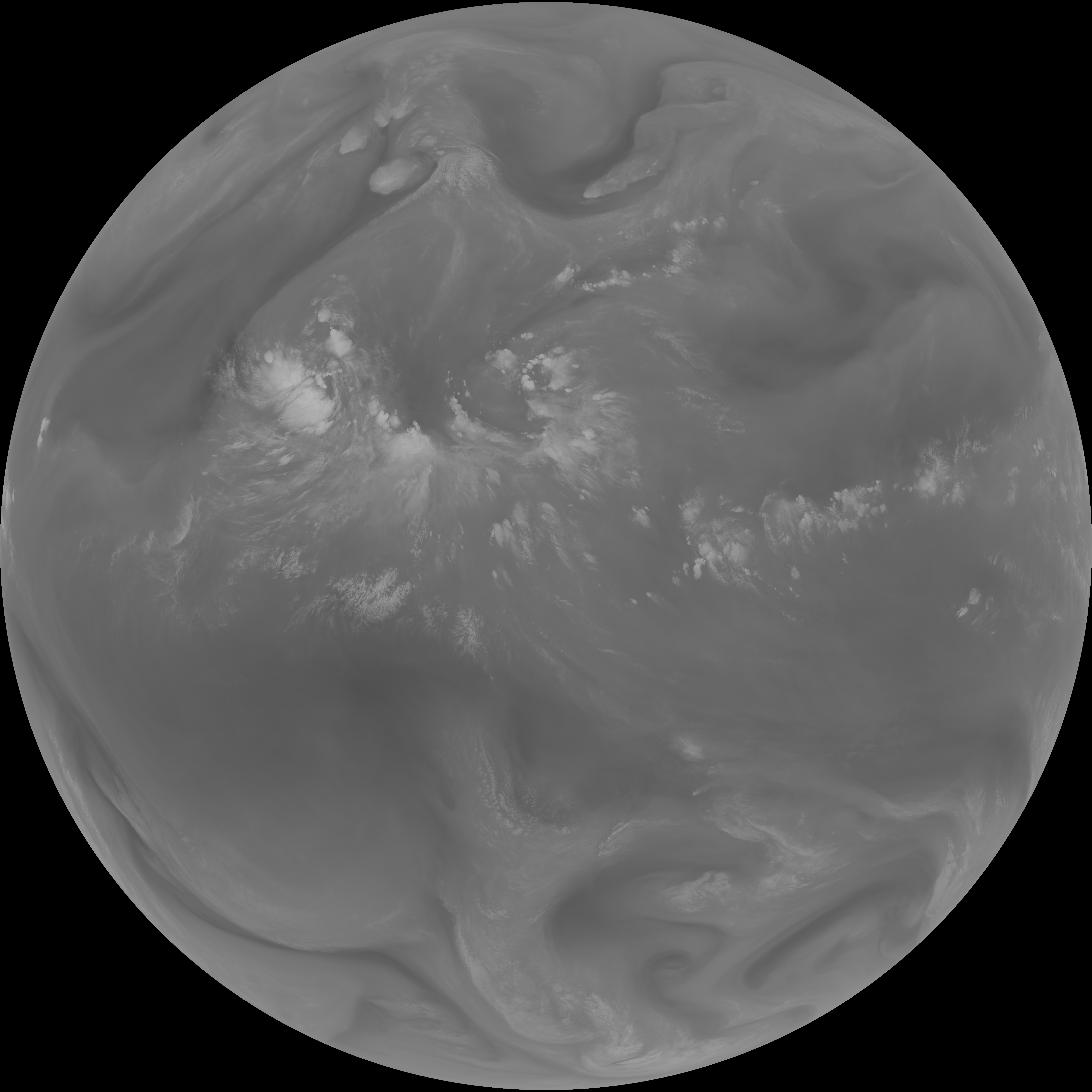
| abi_rgb_Upper-Level_Tropospheric_Water_Vapor.png | 7310883 | 2026-Jun-08 12:51 |
| abi_rgb_Upper-Level_Tropospheric_Water_Vapor_map.png | 7425182 | 2026-Jun-08 12:51 |
| G19_9_20260608T123021Z.png | 6278278 | 2026-Jun-08 12:53 |
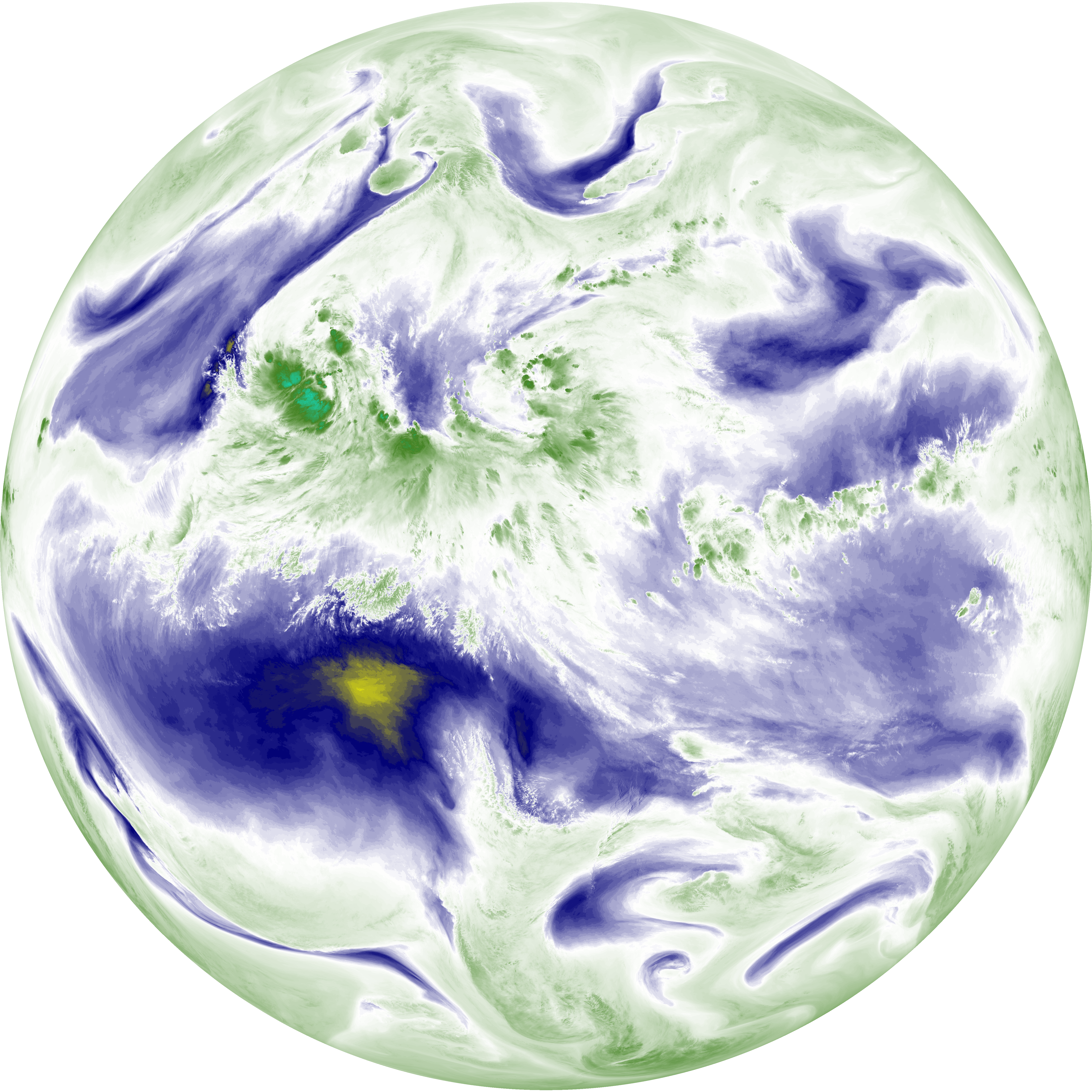
| abi_rgb_Mid-level_Tropospheric_Water_Vapor.png | 8478915 | 2026-Jun-08 12:53 |
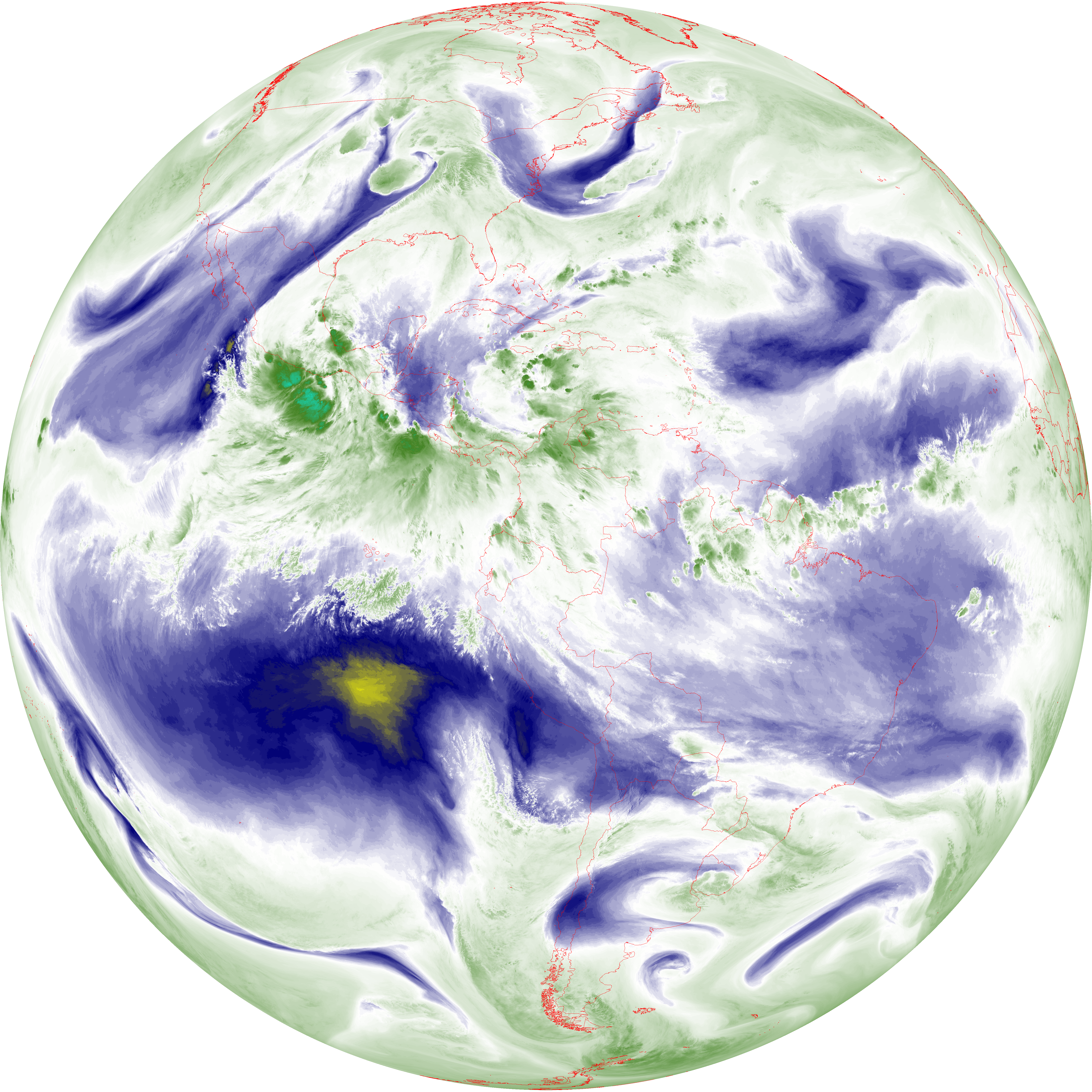
| abi_rgb_Mid-level_Tropospheric_Water_Vapor_map.png | 8584995 | 2026-Jun-08 12:53 |
| G19_14_20260608T123021Z.png | 10275961 | 2026-Jun-08 12:56 |
| abi_rgb_Infrared_Longwave_Window_Band.png | 13781333 | 2026-Jun-08 12:56 |
| abi_rgb_Infrared_Longwave_Window_Band_map.png | 13822167 | 2026-Jun-08 12:56 |
| G19_15_20260608T123021Z.png | 9991802 | 2026-Jun-08 12:59 |
| abi_rgb_Dirty_Longwave_Window.png | 13458280 | 2026-Jun-08 12:59 |
| abi_rgb_Dirty_Longwave_Window_map.png | 13503169 | 2026-Jun-08 12:59 |
| abi_rgb_Dirty_Longwave_Window_-_CIRA.png | 11832838 | 2026-Jun-08 13:00 |
| abi_rgb_Dirty_Longwave_Window_-_CIRA_map.png | 11891184 | 2026-Jun-08 13:00 |