| Parent directory/ | - | - |
| G19_7_20260608T130021Z.png | 10399844 | 2026-Jun-08 13:13 |
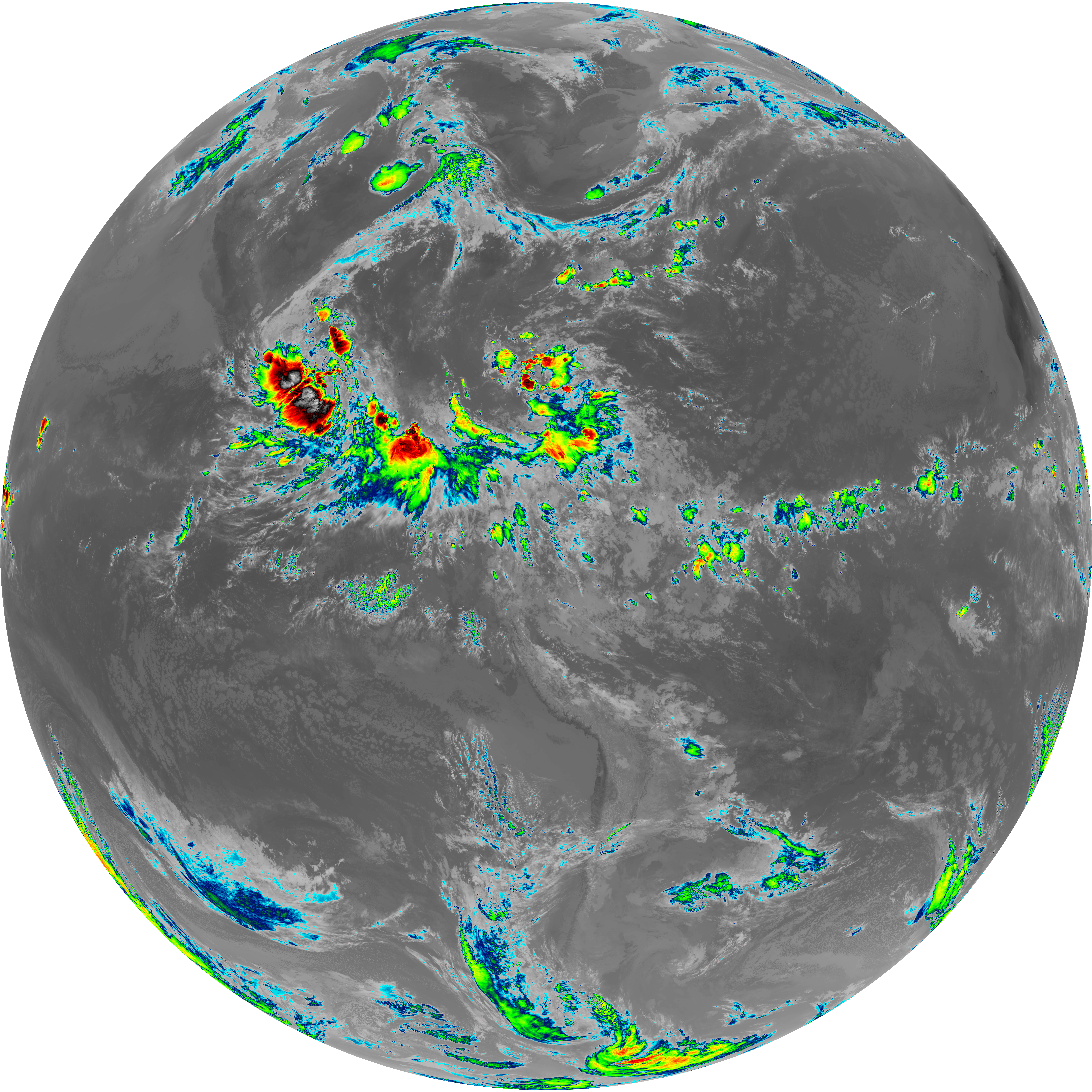
| abi_rgb_Shortwave_Window_Band.png | 14277003 | 2026-Jun-08 13:13 |
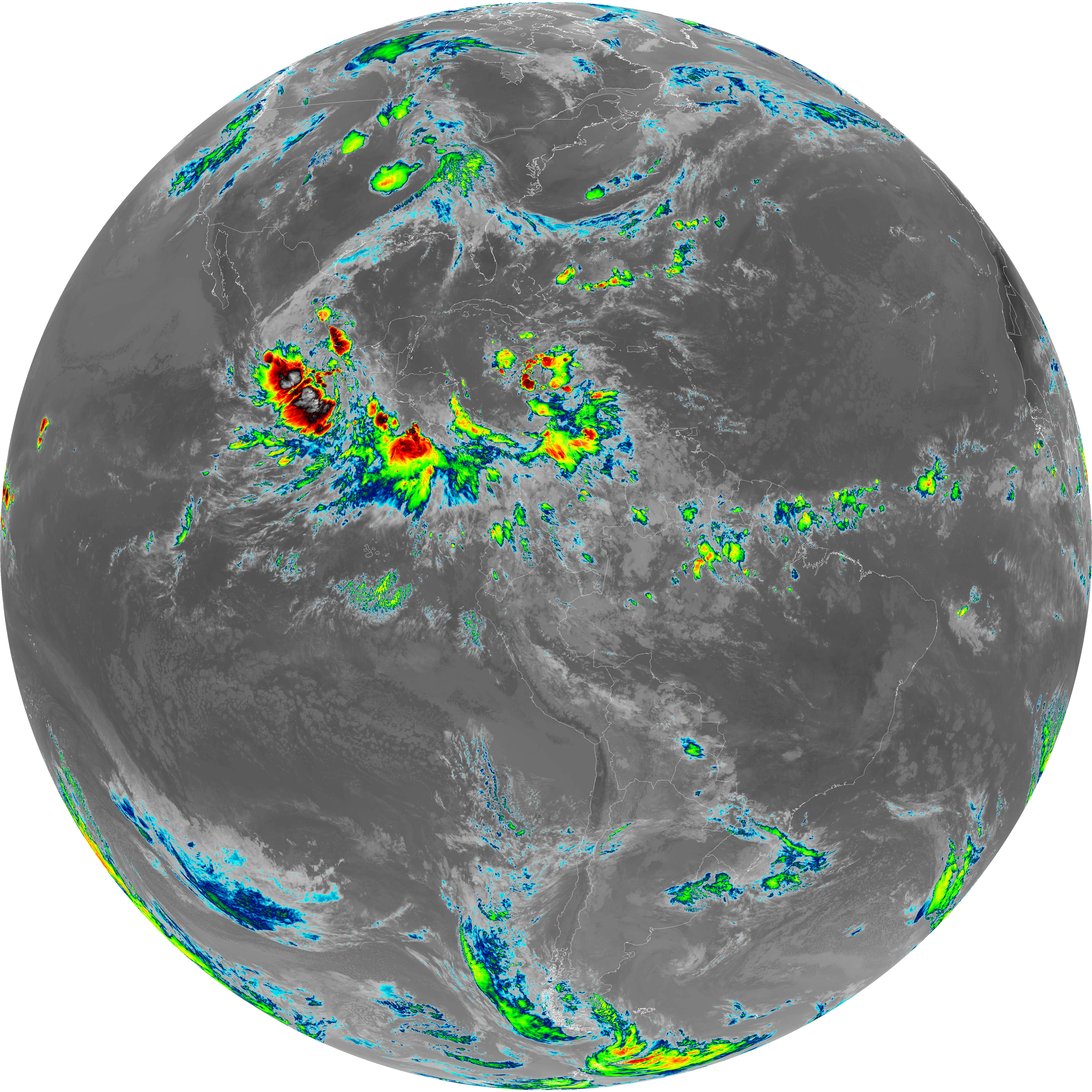
| abi_rgb_Shortwave_Window_Band_map.png | 14336681 | 2026-Jun-08 13:13 |
| G19_13_20260608T130021Z.png | 10190289 | 2026-Jun-08 13:16 |
| abi_rgb_Clean_Longwave_IR_Window_Band.png | 13682582 | 2026-Jun-08 13:16 |
| abi_rgb_Clean_Longwave_IR_Window_Band_map.png | 13722054 | 2026-Jun-08 13:16 |
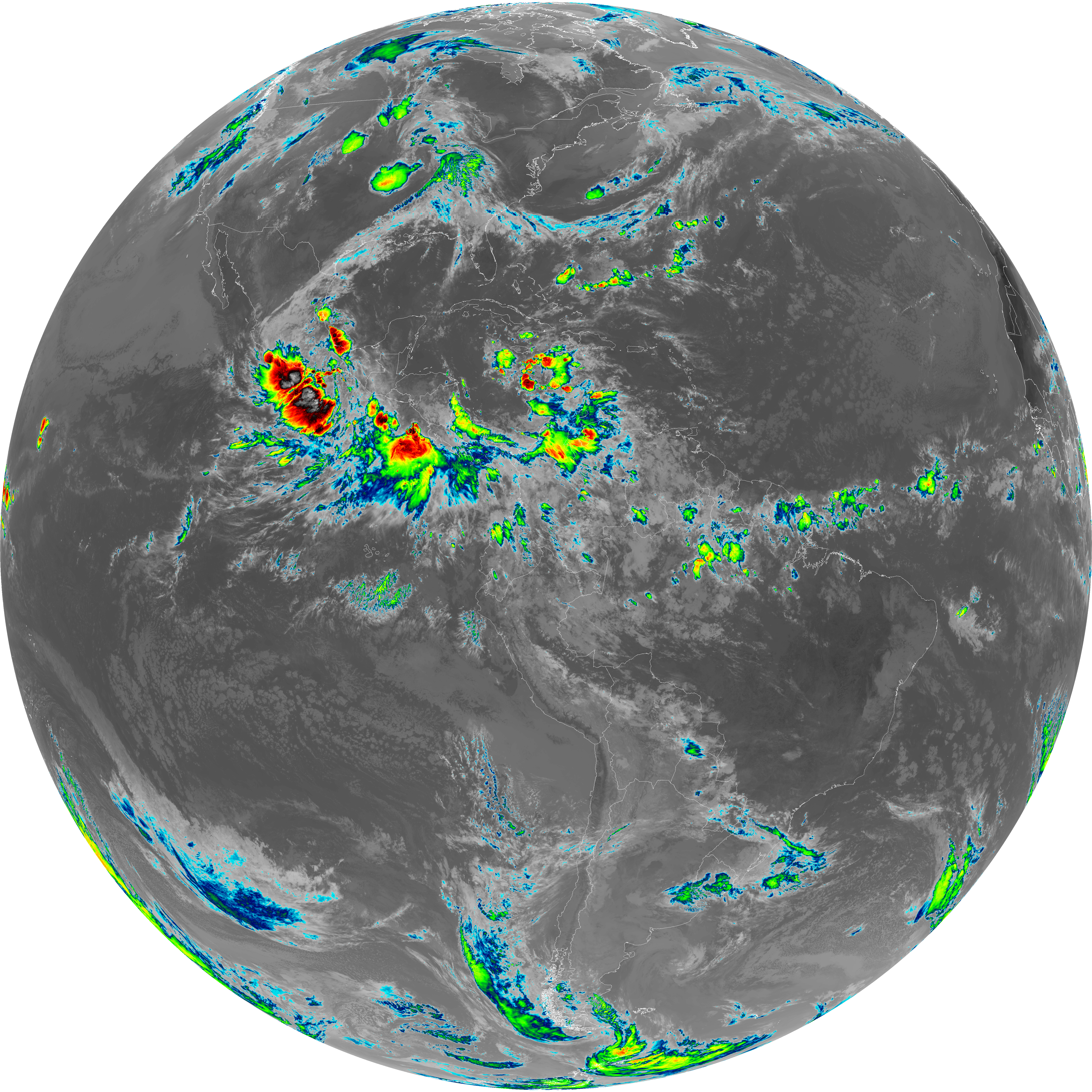
| G19_2_20260608T130021Z.png | 11896205 | 2026-Jun-08 13:20 |
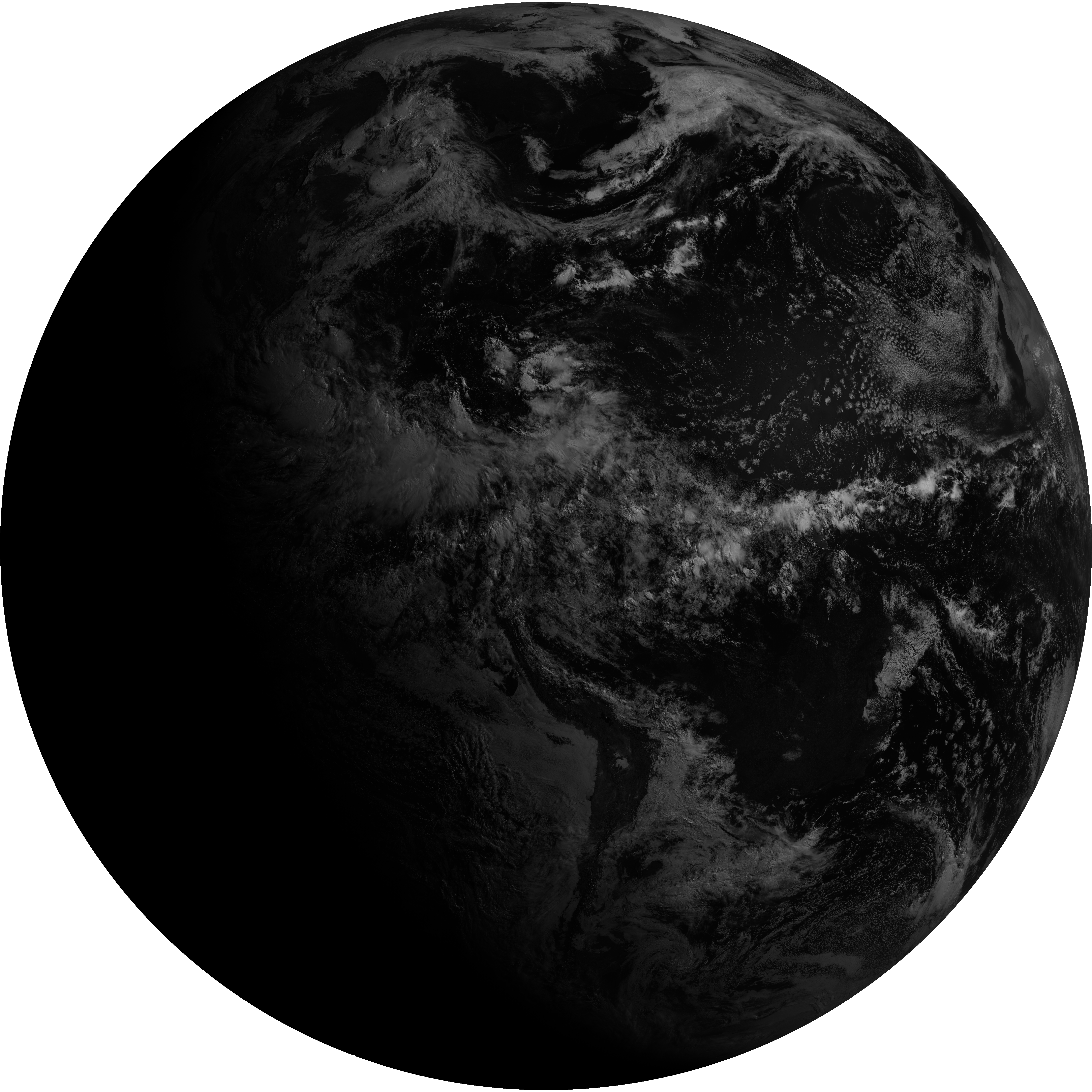
| G19_8_20260608T130021Z.png | 5467062 | 2026-Jun-08 13:22 |
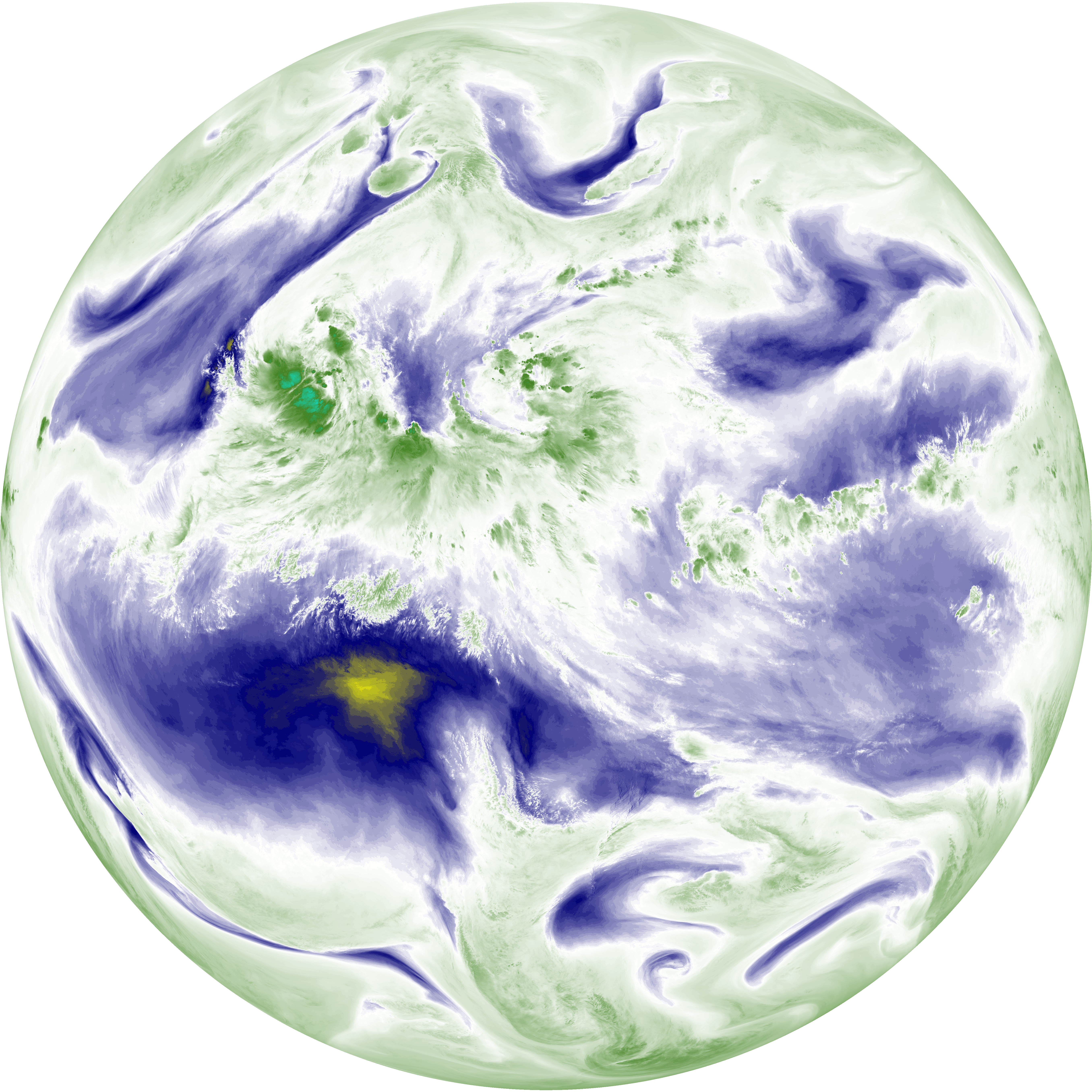
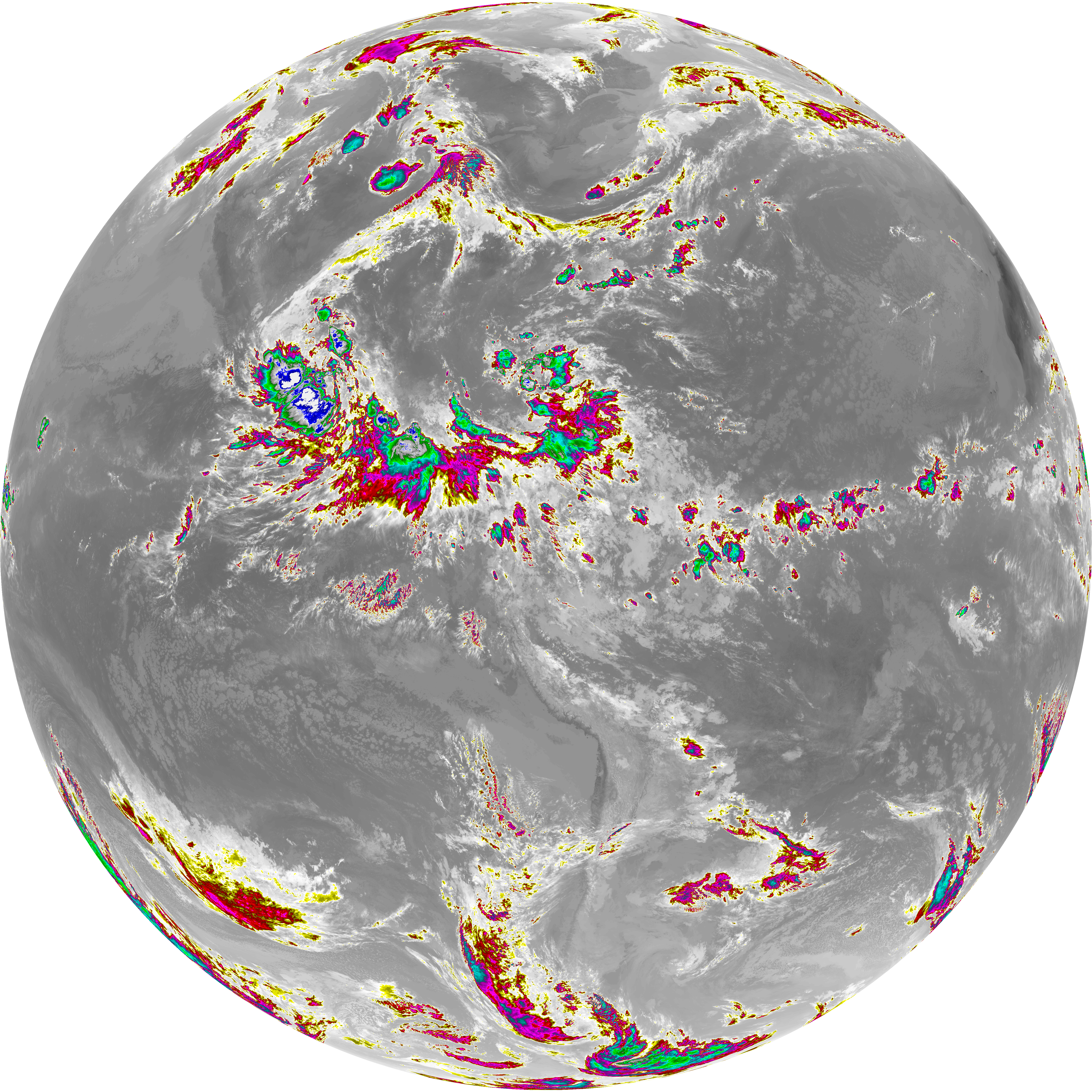
| abi_rgb_Upper-Level_Tropospheric_Water_Vapor.png | 7321723 | 2026-Jun-08 13:22 |
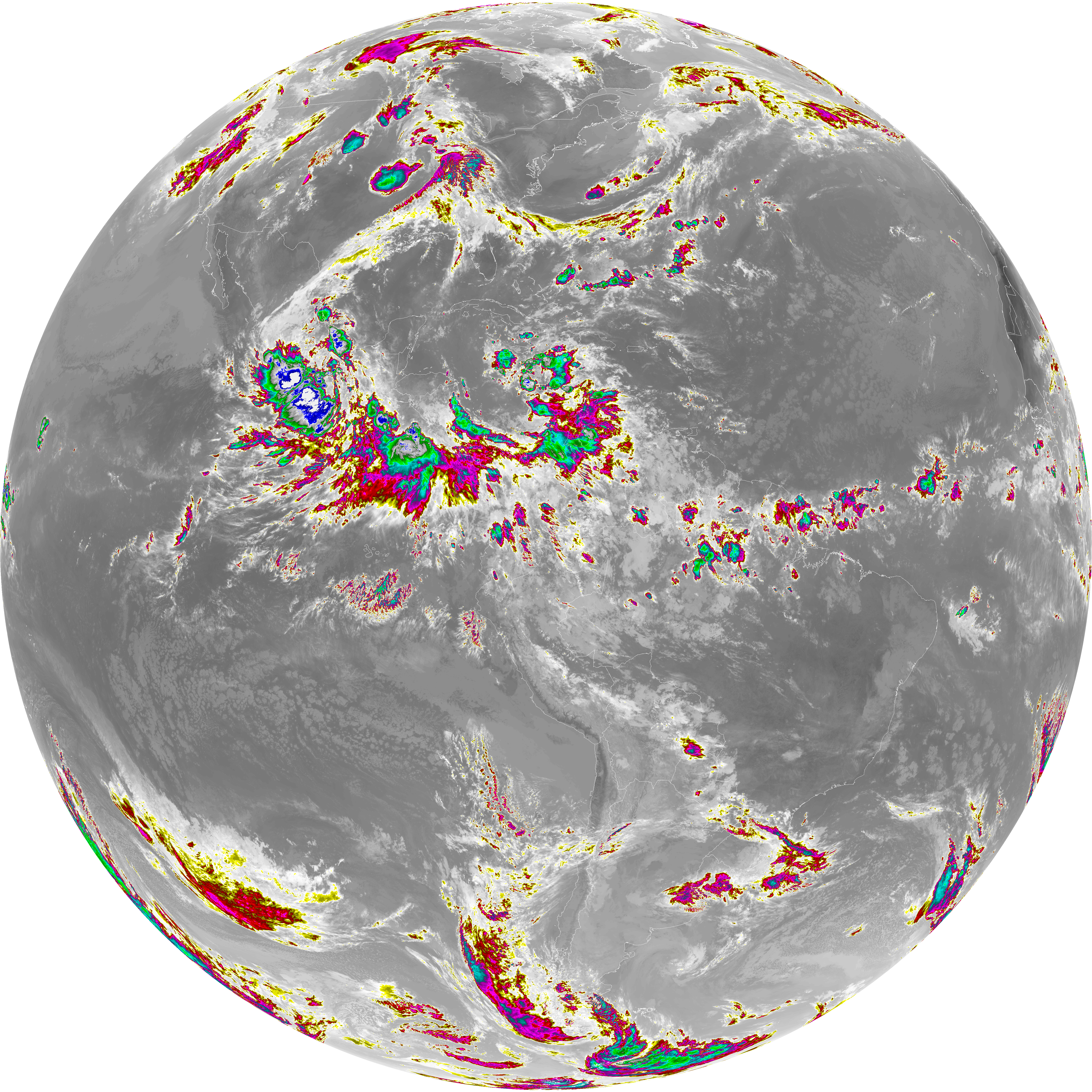
| abi_rgb_Upper-Level_Tropospheric_Water_Vapor_map.png | 7436761 | 2026-Jun-08 13:22 |
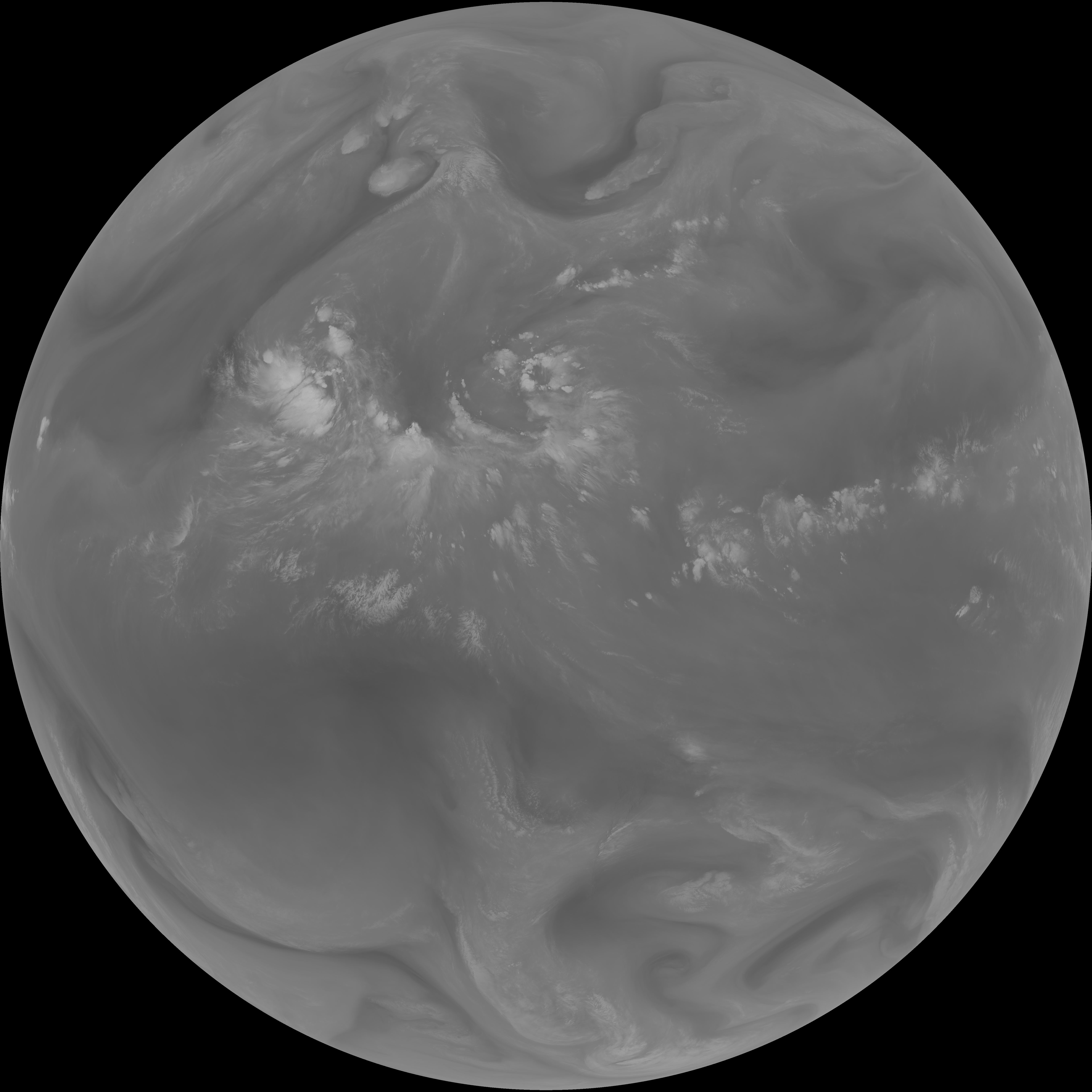
| G19_9_20260608T130021Z.png | 6288824 | 2026-Jun-08 13:24 |
| abi_rgb_Mid-level_Tropospheric_Water_Vapor.png | 8493813 | 2026-Jun-08 13:24 |
| abi_rgb_Mid-level_Tropospheric_Water_Vapor_map.png | 8599893 | 2026-Jun-08 13:24 |
| G19_14_20260608T130021Z.png | 10330278 | 2026-Jun-08 13:27 |
| abi_rgb_Infrared_Longwave_Window_Band.png | 13849307 | 2026-Jun-08 13:27 |
| abi_rgb_Infrared_Longwave_Window_Band_map.png | 13888482 | 2026-Jun-08 13:27 |
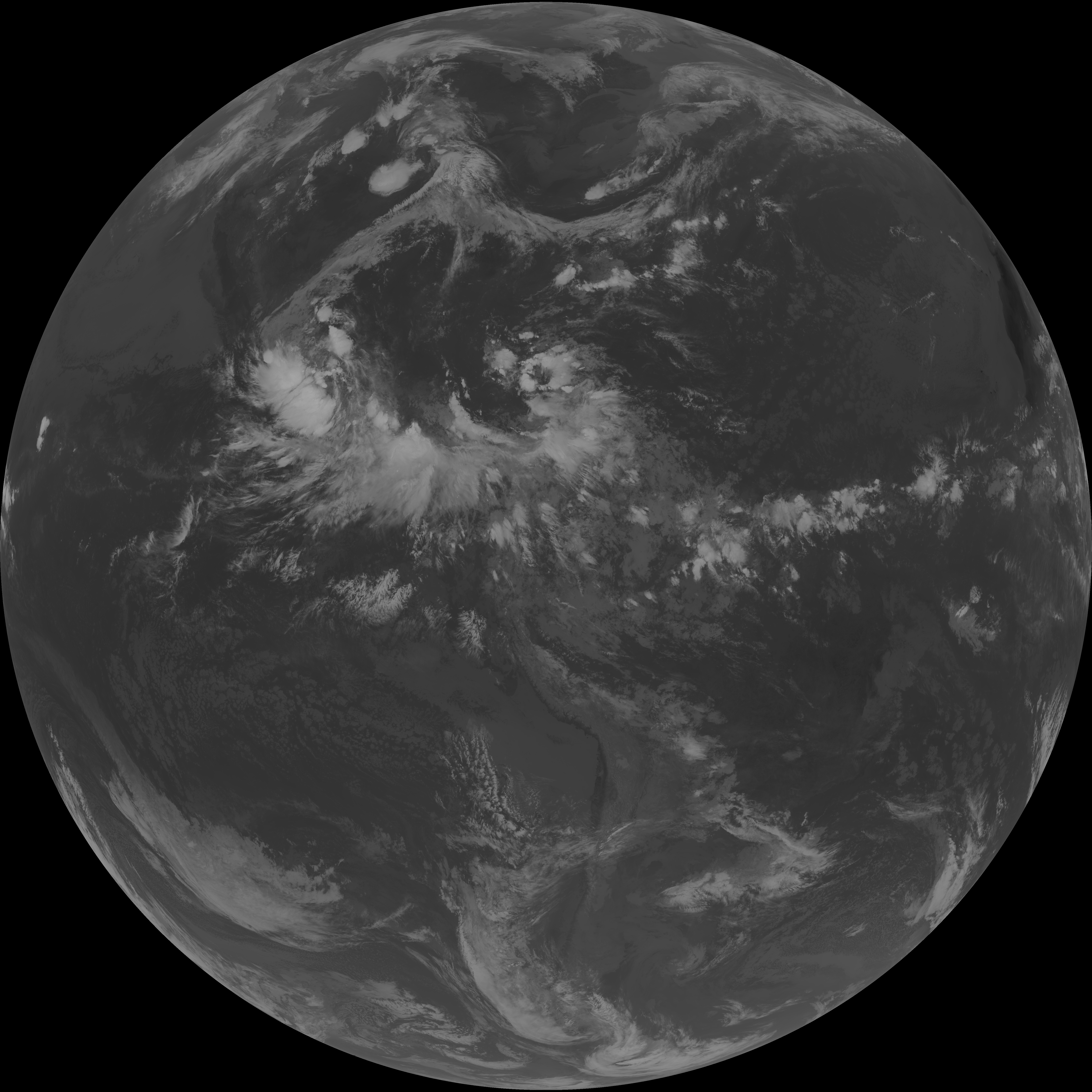
| G19_15_20260608T130021Z.png | 10037523 | 2026-Jun-08 13:29 |
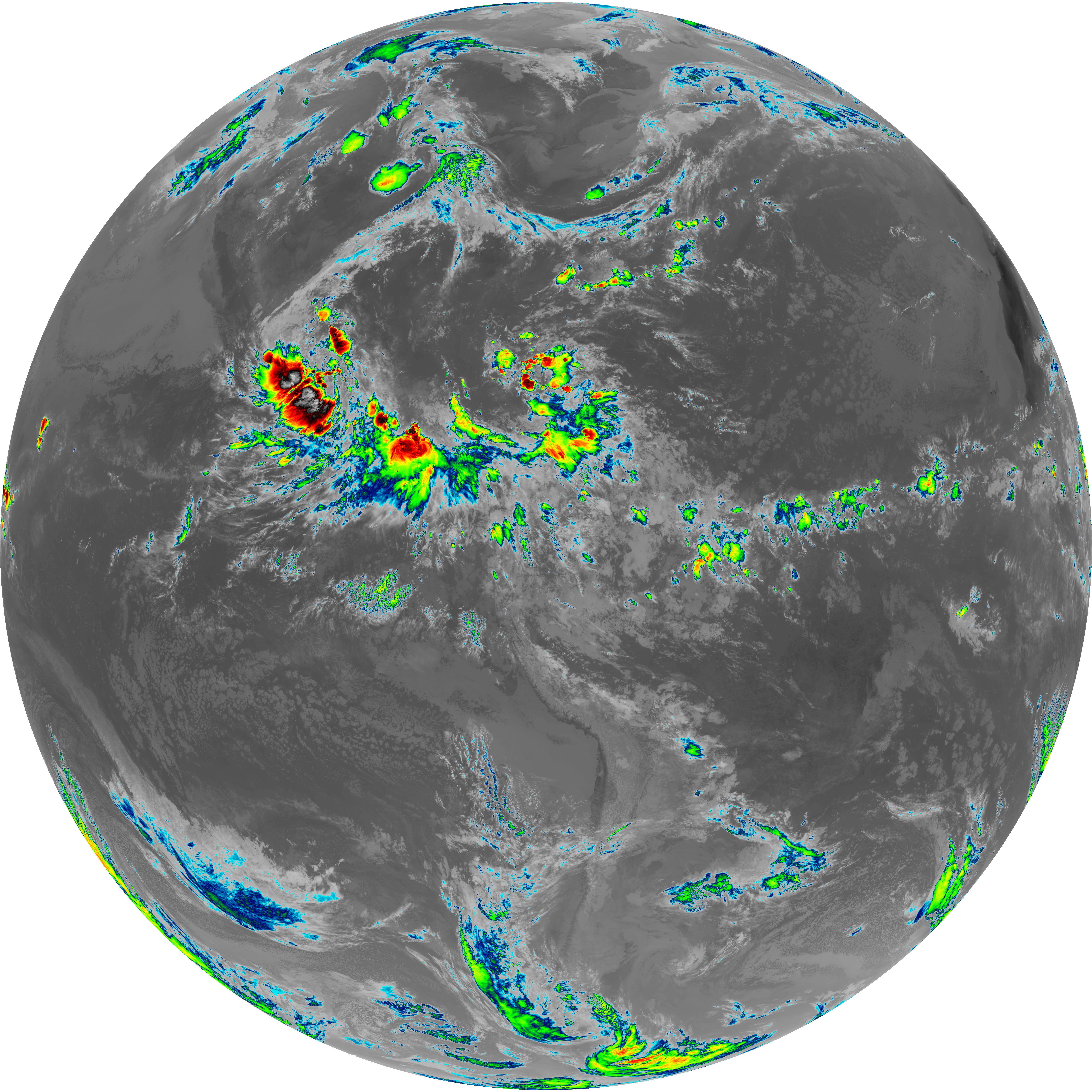
| abi_rgb_Dirty_Longwave_Window.png | 13520313 | 2026-Jun-08 13:30 |
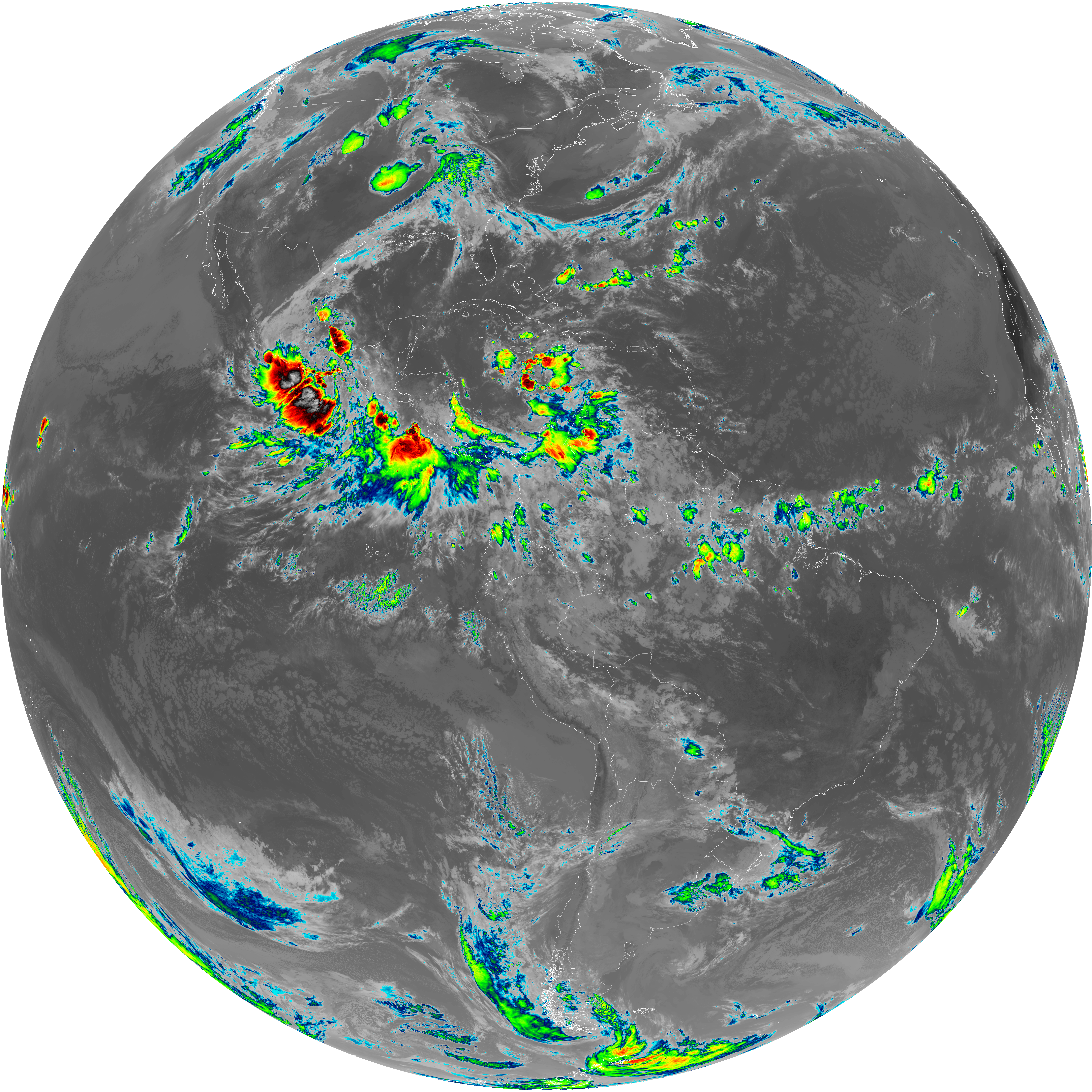
| abi_rgb_Dirty_Longwave_Window_map.png | 13563537 | 2026-Jun-08 13:30 |
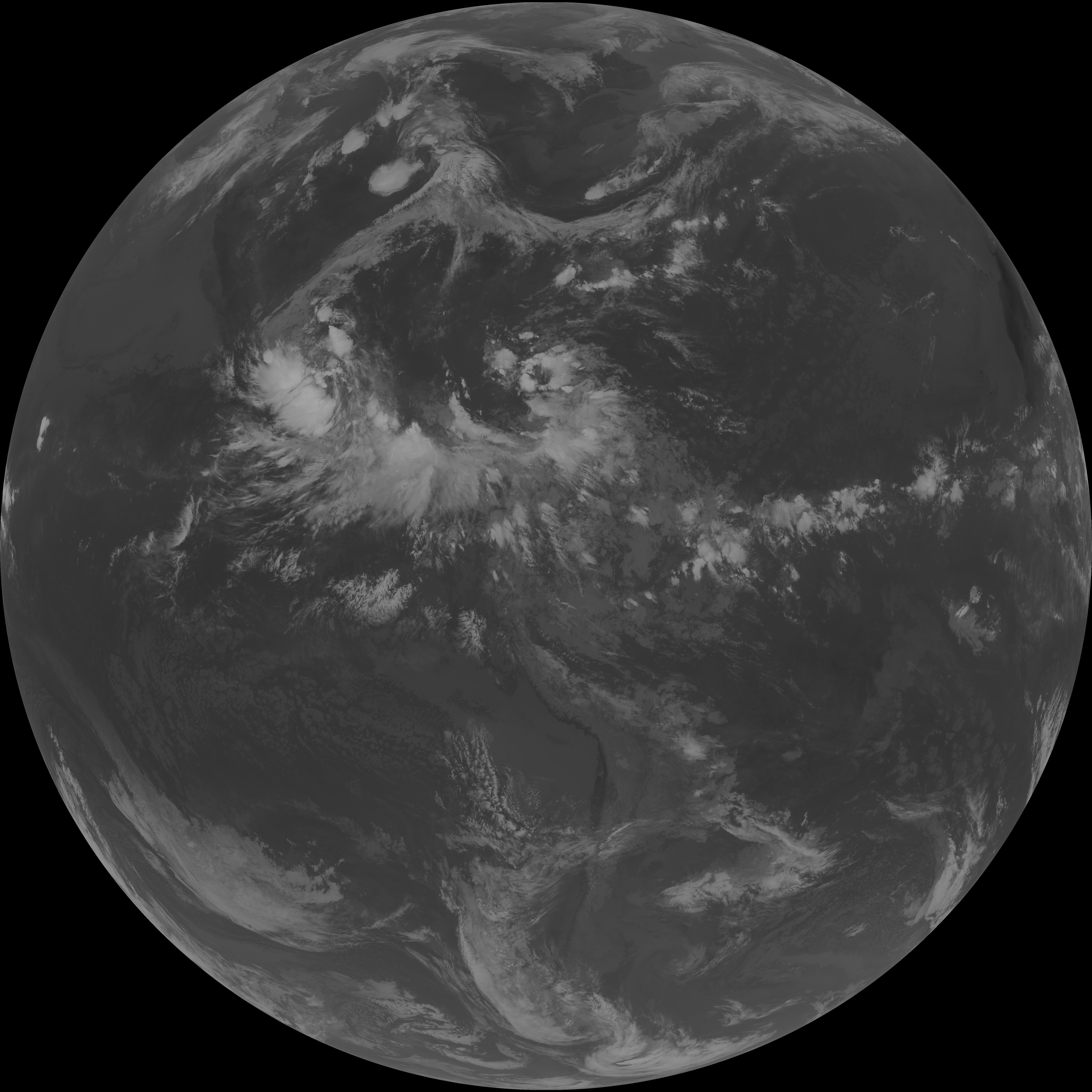
| abi_rgb_Dirty_Longwave_Window_-_CIRA.png | 11900768 | 2026-Jun-08 13:30 |
| abi_rgb_Dirty_Longwave_Window_-_CIRA_map.png | 11957045 | 2026-Jun-08 13:30 |