| Parent directory/ | - | - |
| G19_8_20260608T140021Z.png | 5502508 | 2026-Jun-08 14:30 |
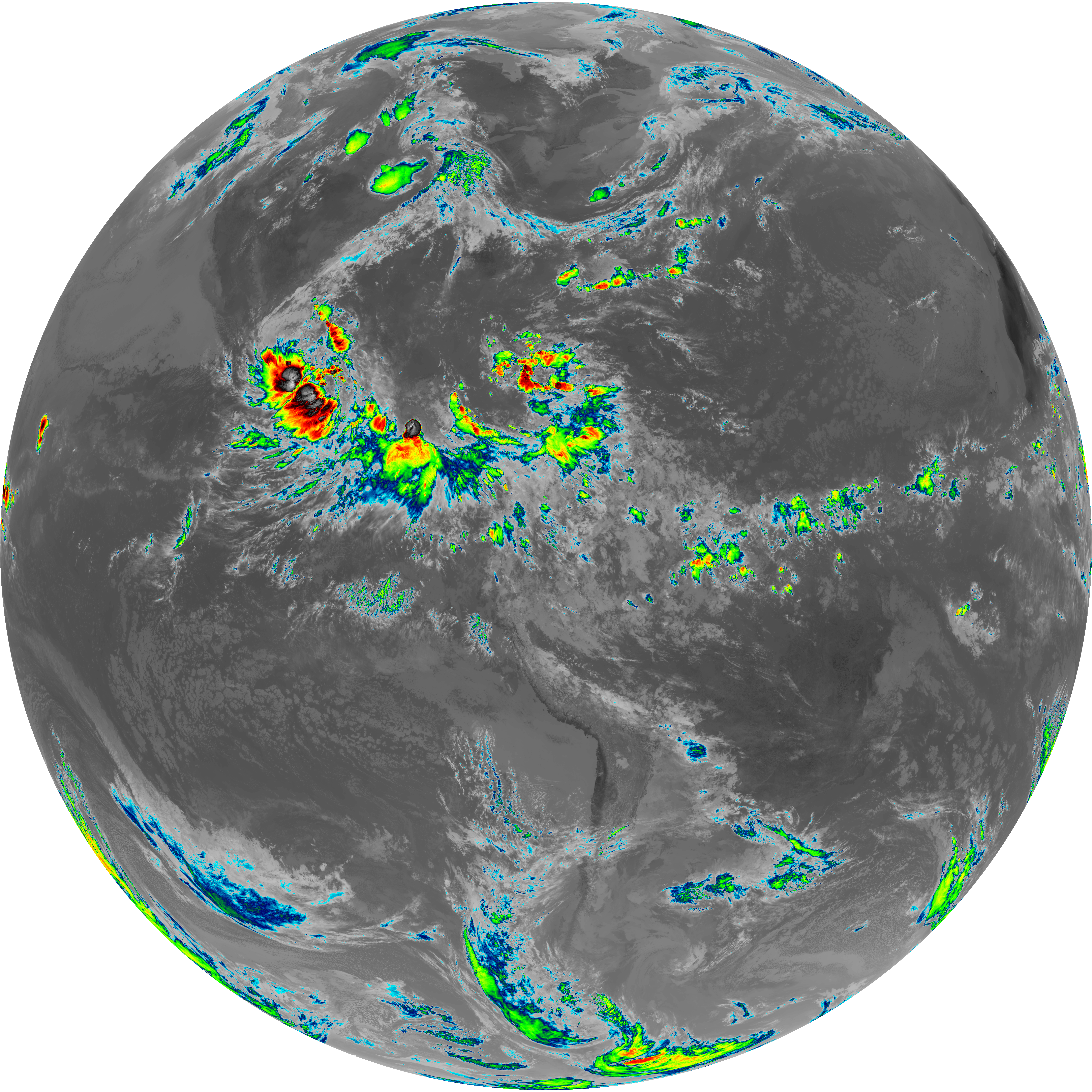
| G19_9_20260608T140021Z.png | 6330968 | 2026-Jun-08 14:23 |
| abi_rgb_Upper-Level_Tropospheric_Water_Vapor.png | 7364542 | 2026-Jun-08 14:30 |
| abi_rgb_Upper-Level_Tropospheric_Water_Vapor_map.png | 7478838 | 2026-Jun-08 14:30 |
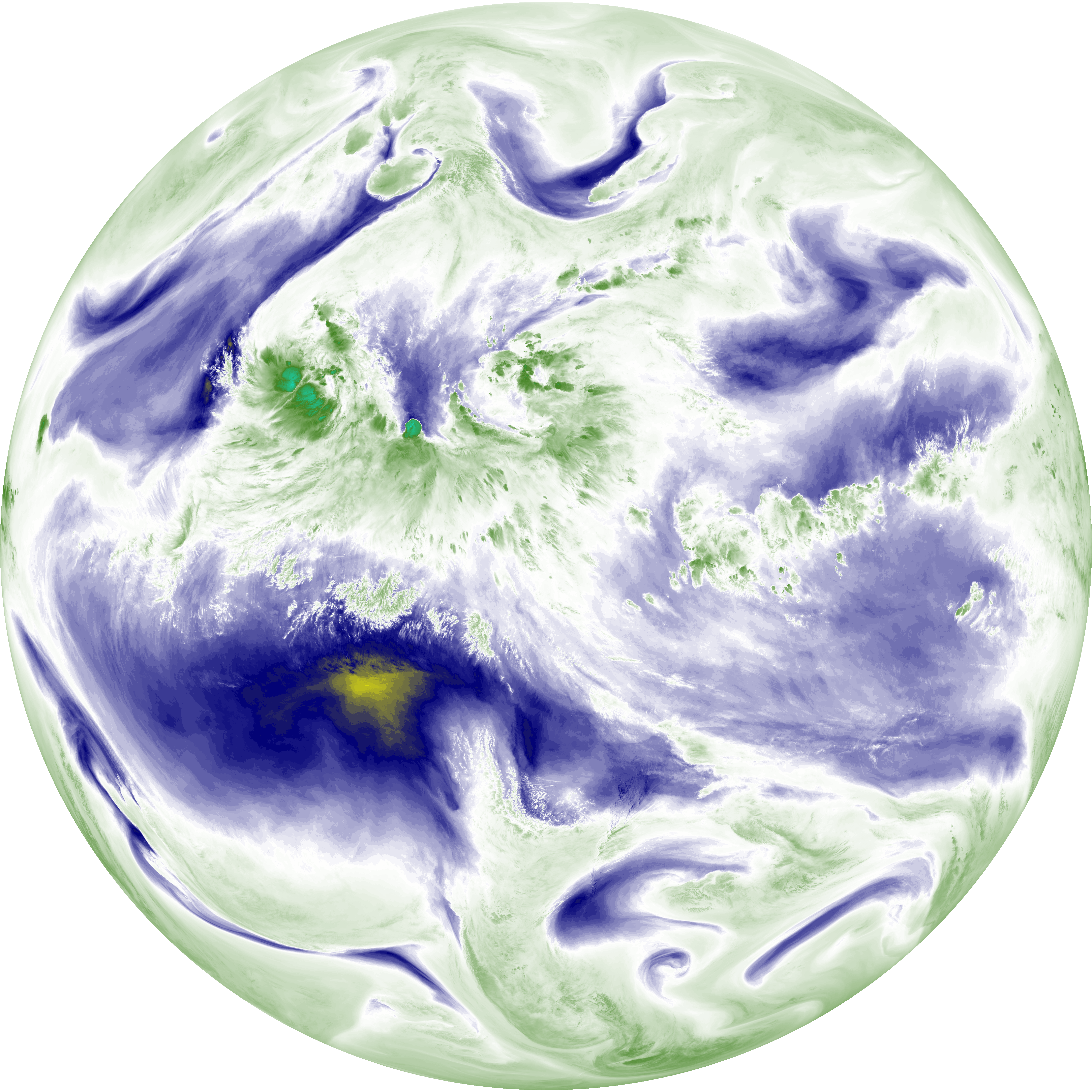
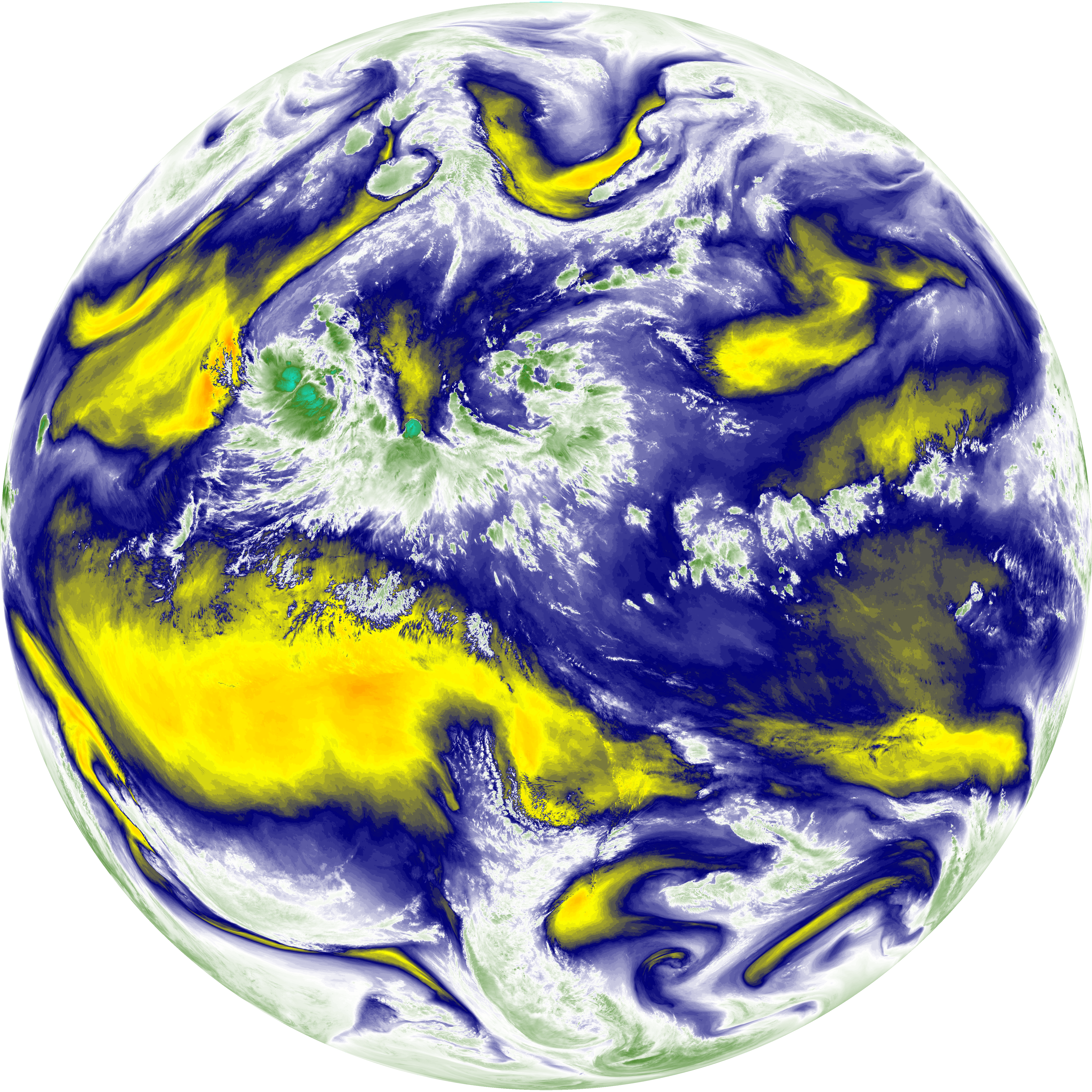
| abi_rgb_Mid-level_Tropospheric_Water_Vapor.png | 8553668 | 2026-Jun-08 14:23 |
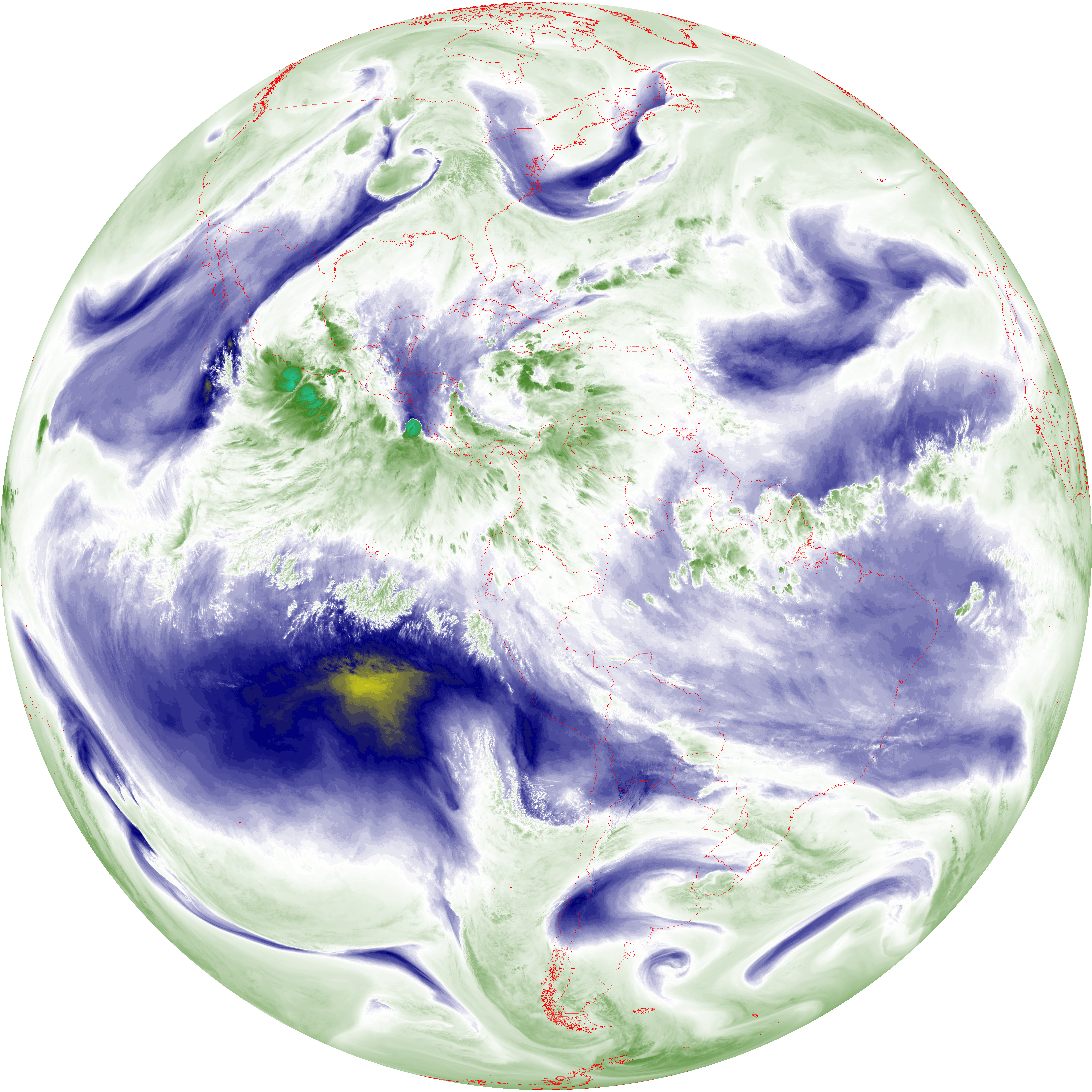
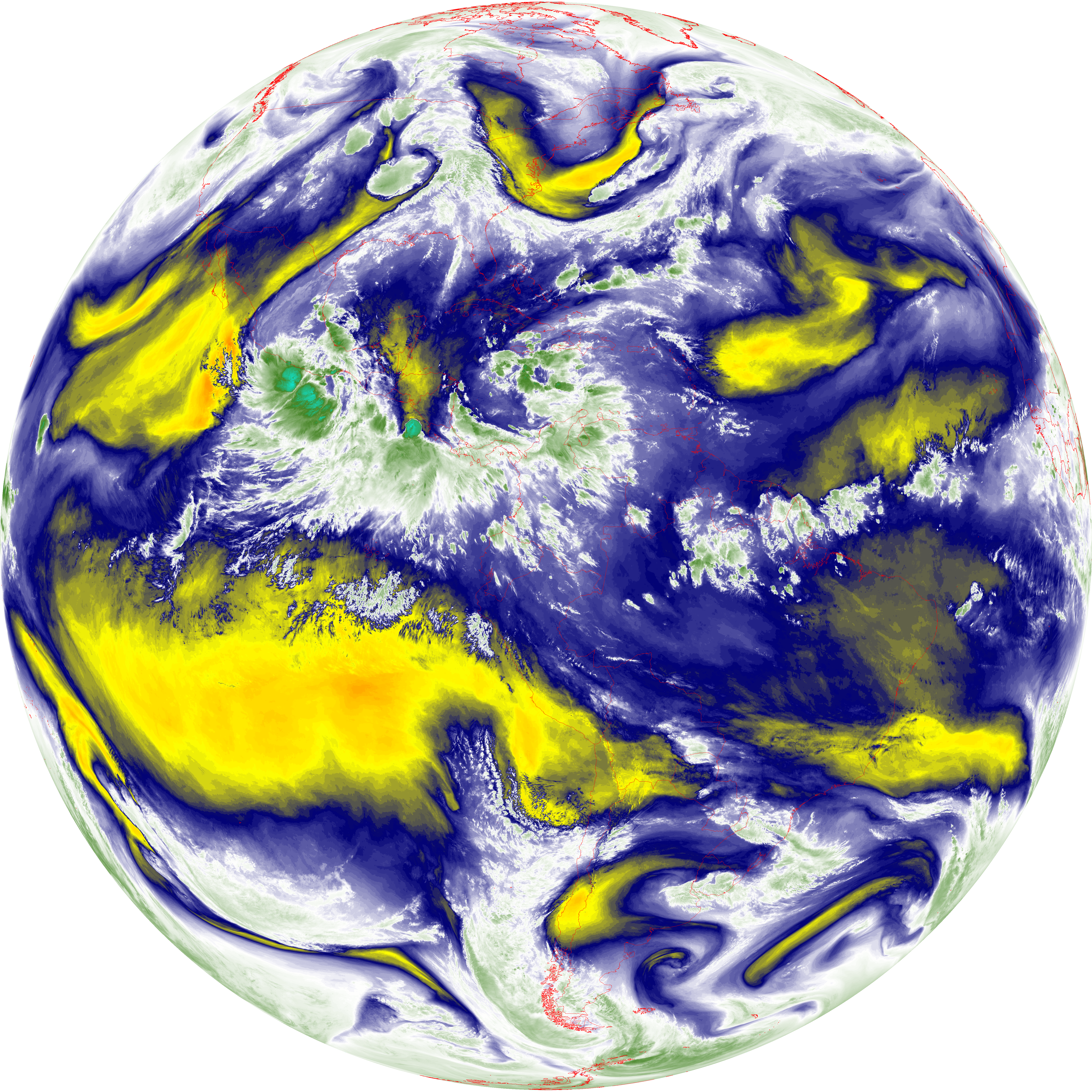
| abi_rgb_Mid-level_Tropospheric_Water_Vapor_map.png | 8658976 | 2026-Jun-08 14:23 |
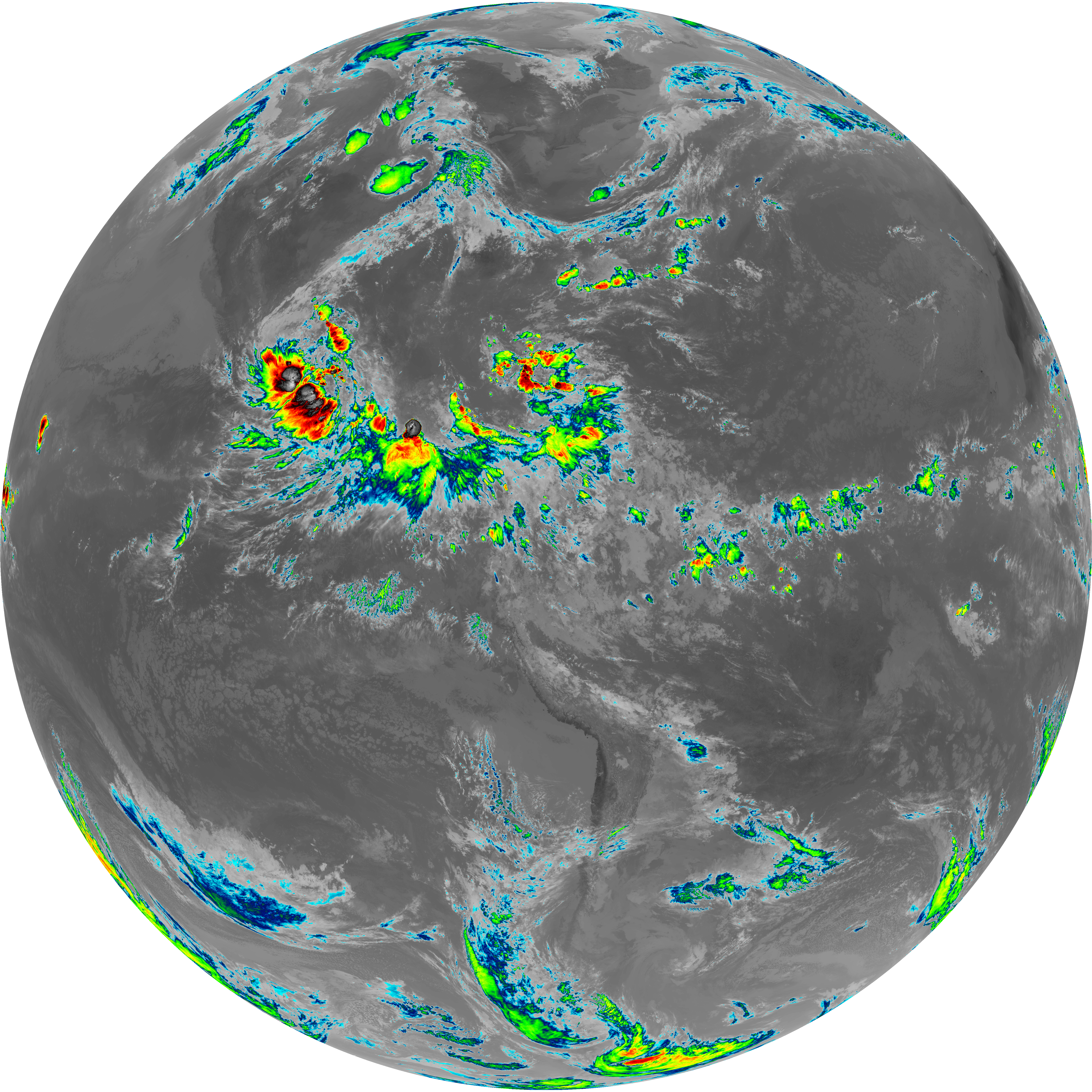
| G19_15_20260608T140021Z.png | 10167613 | 2026-Jun-08 14:28 |
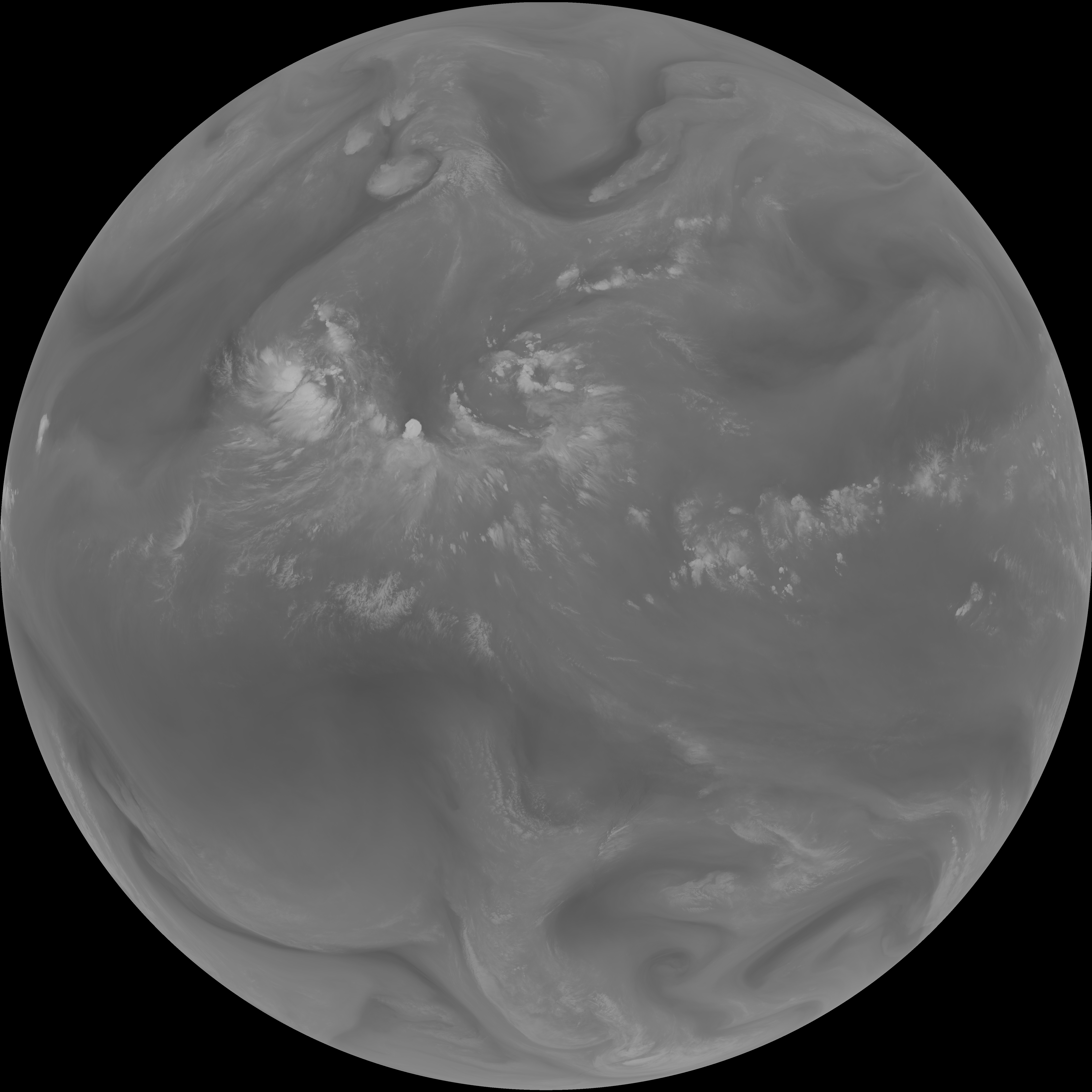
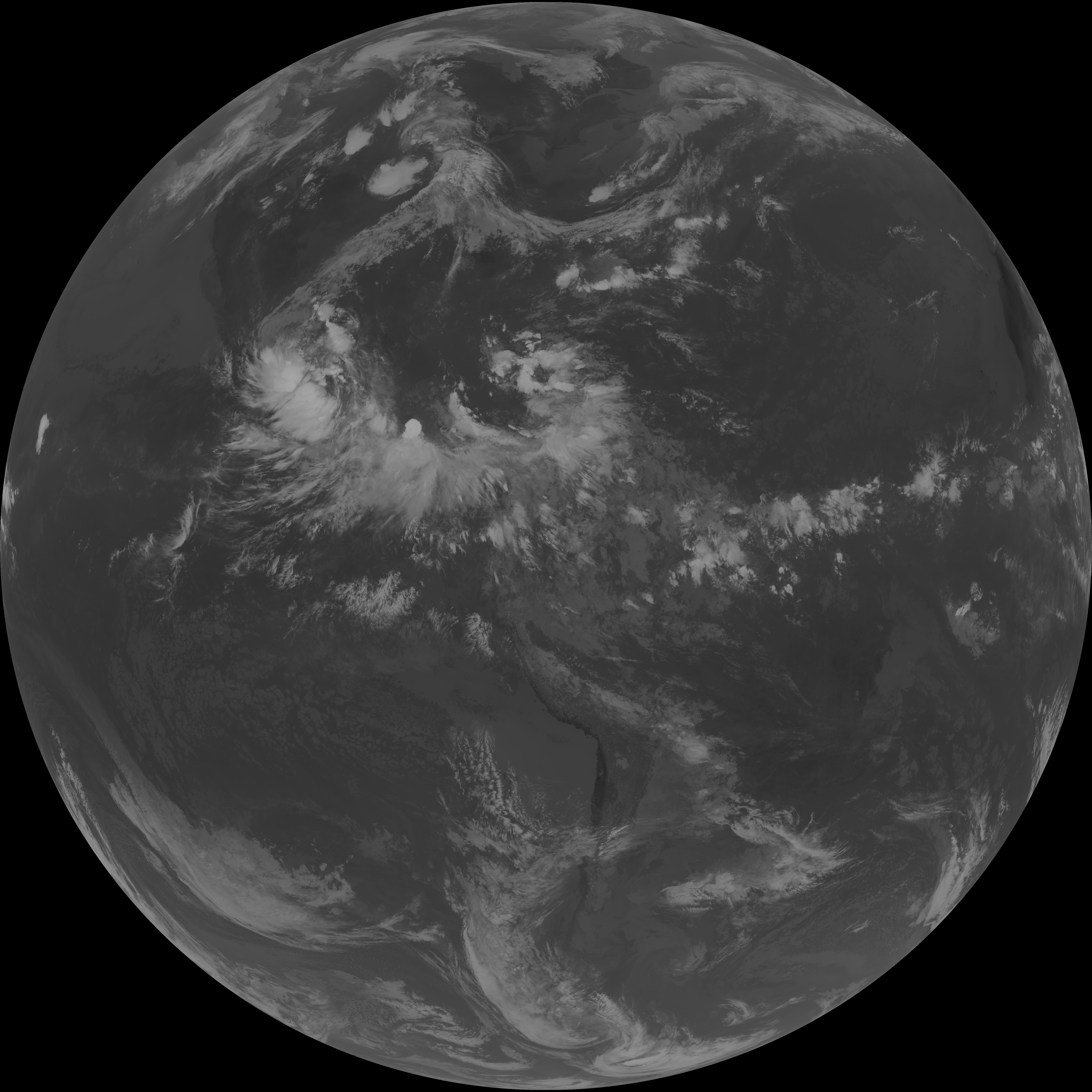
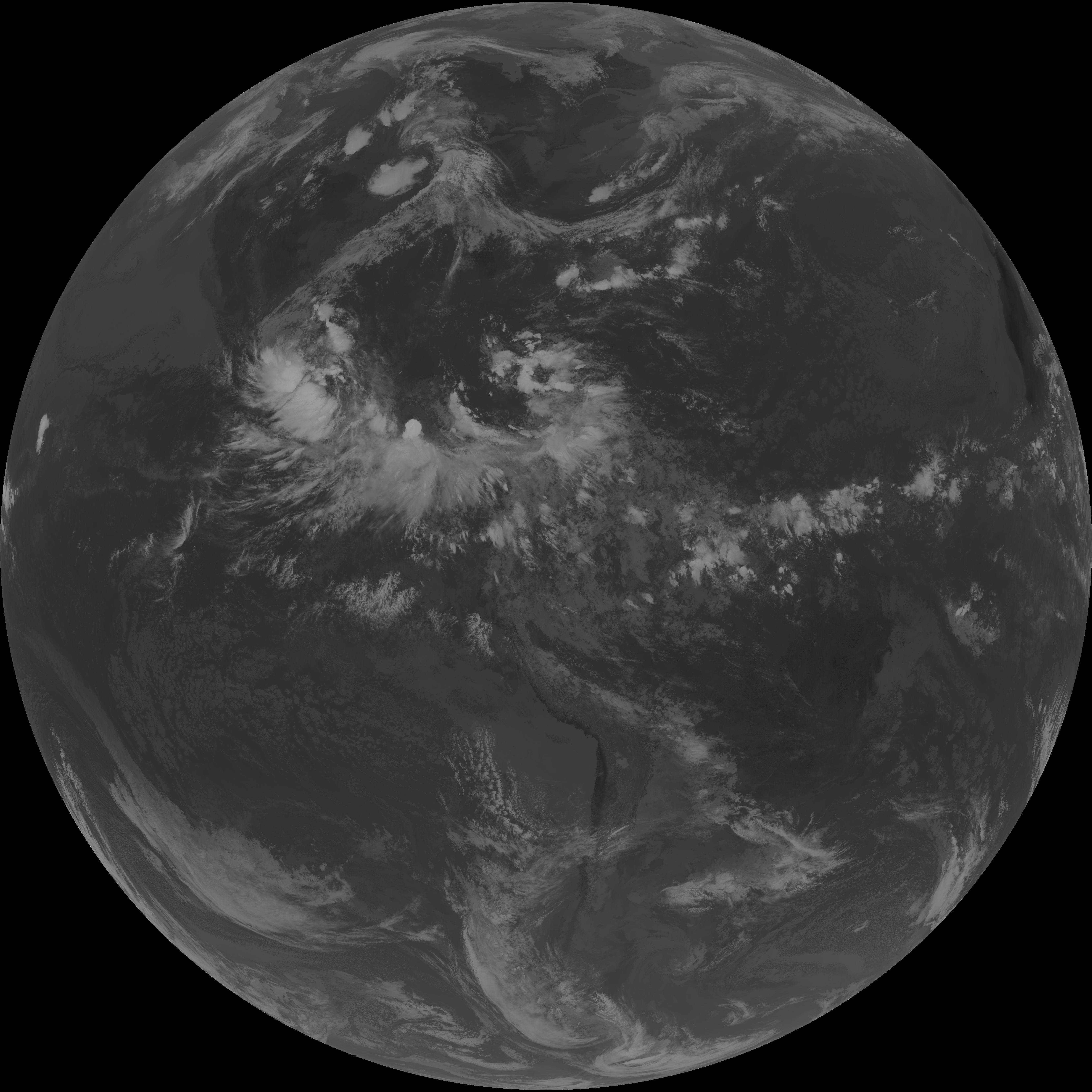
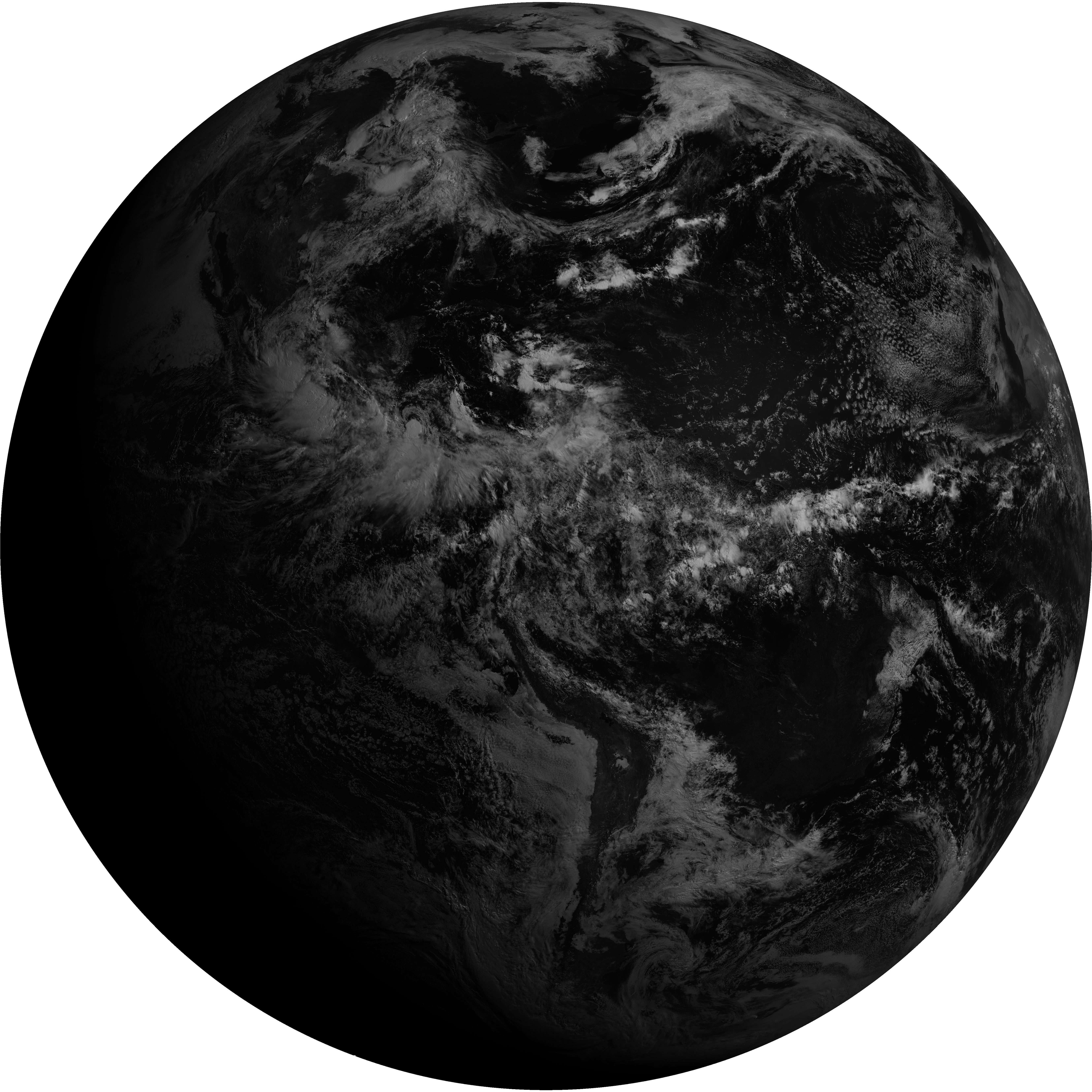
| G19_7_20260608T140021Z.png | 10330894 | 2026-Jun-08 14:13 |
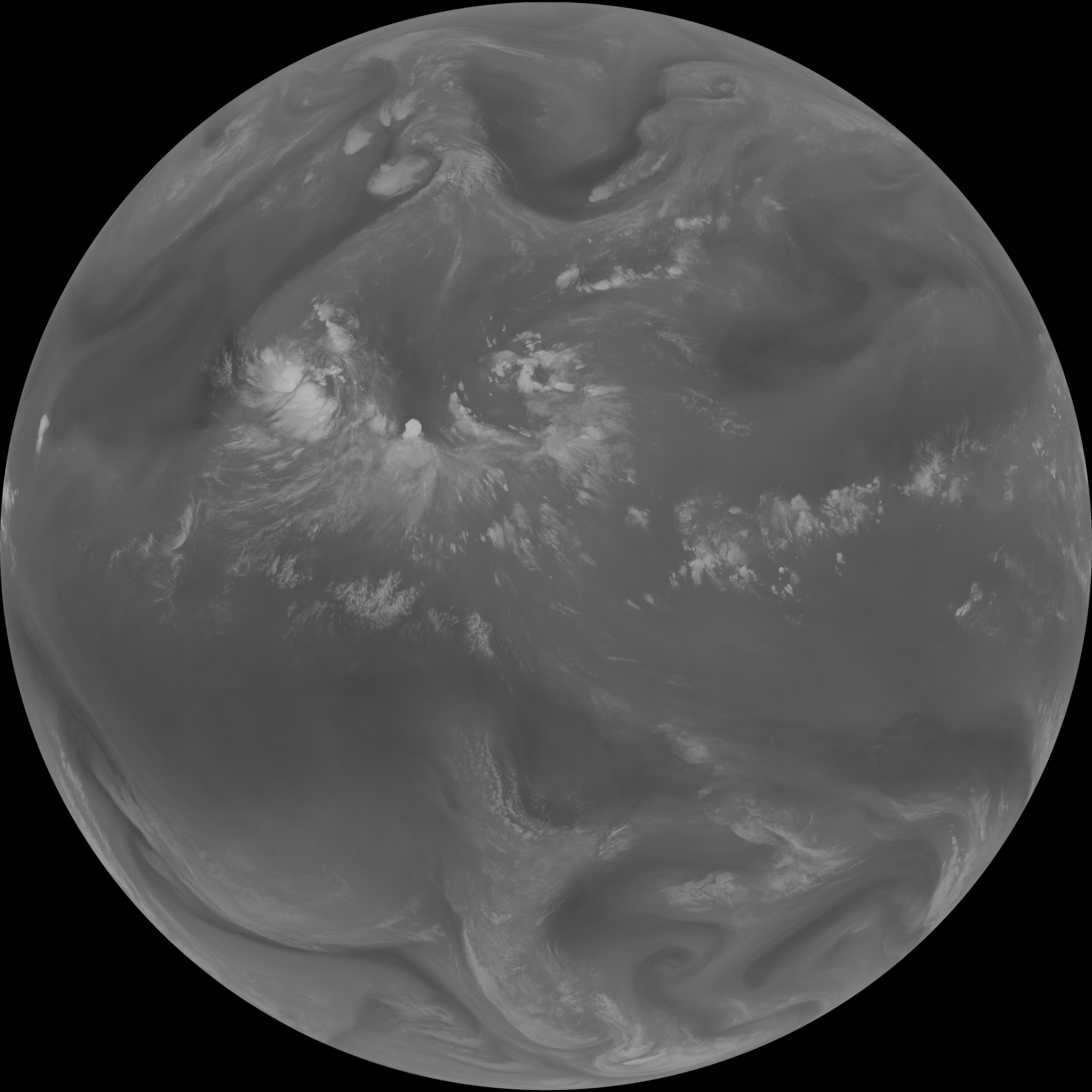
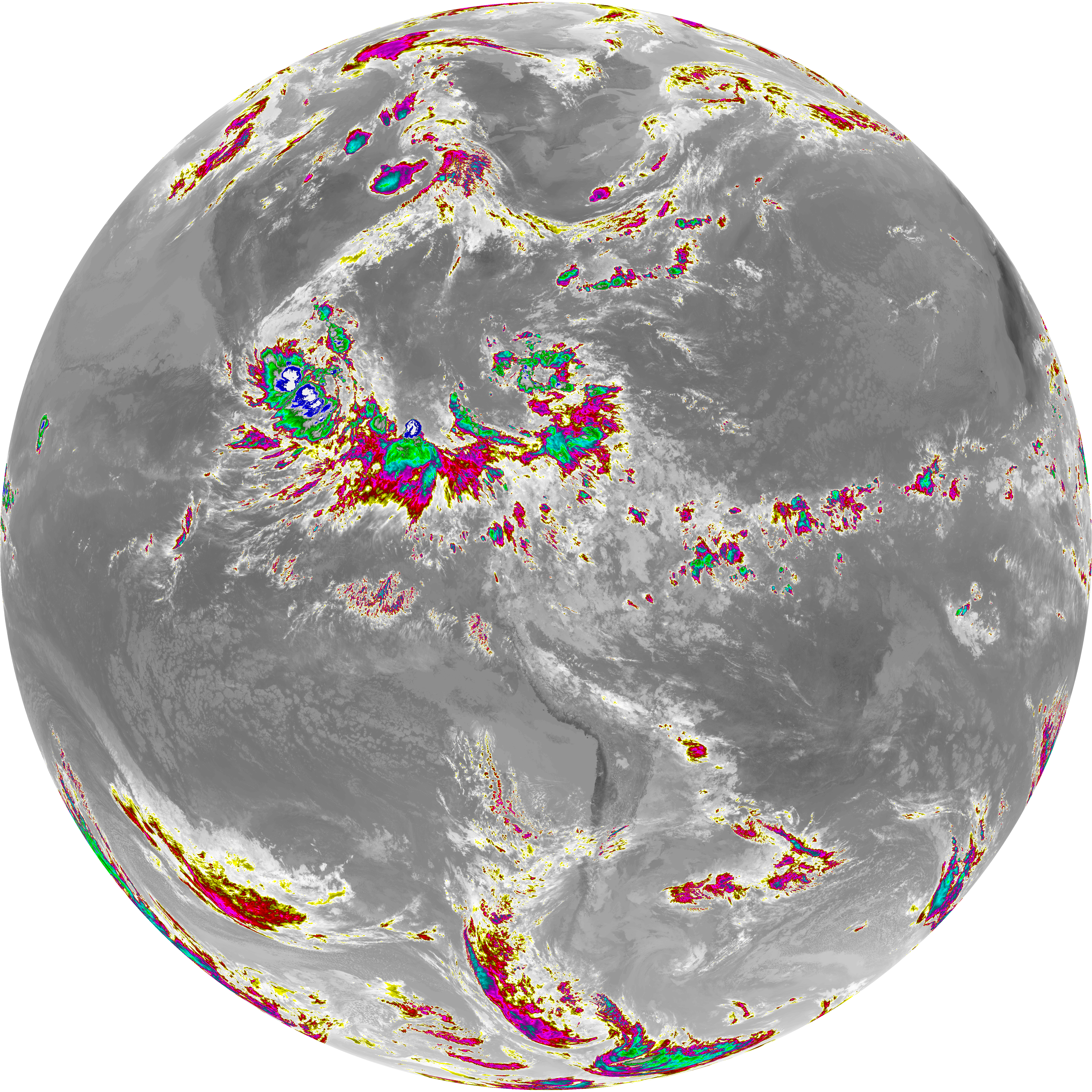
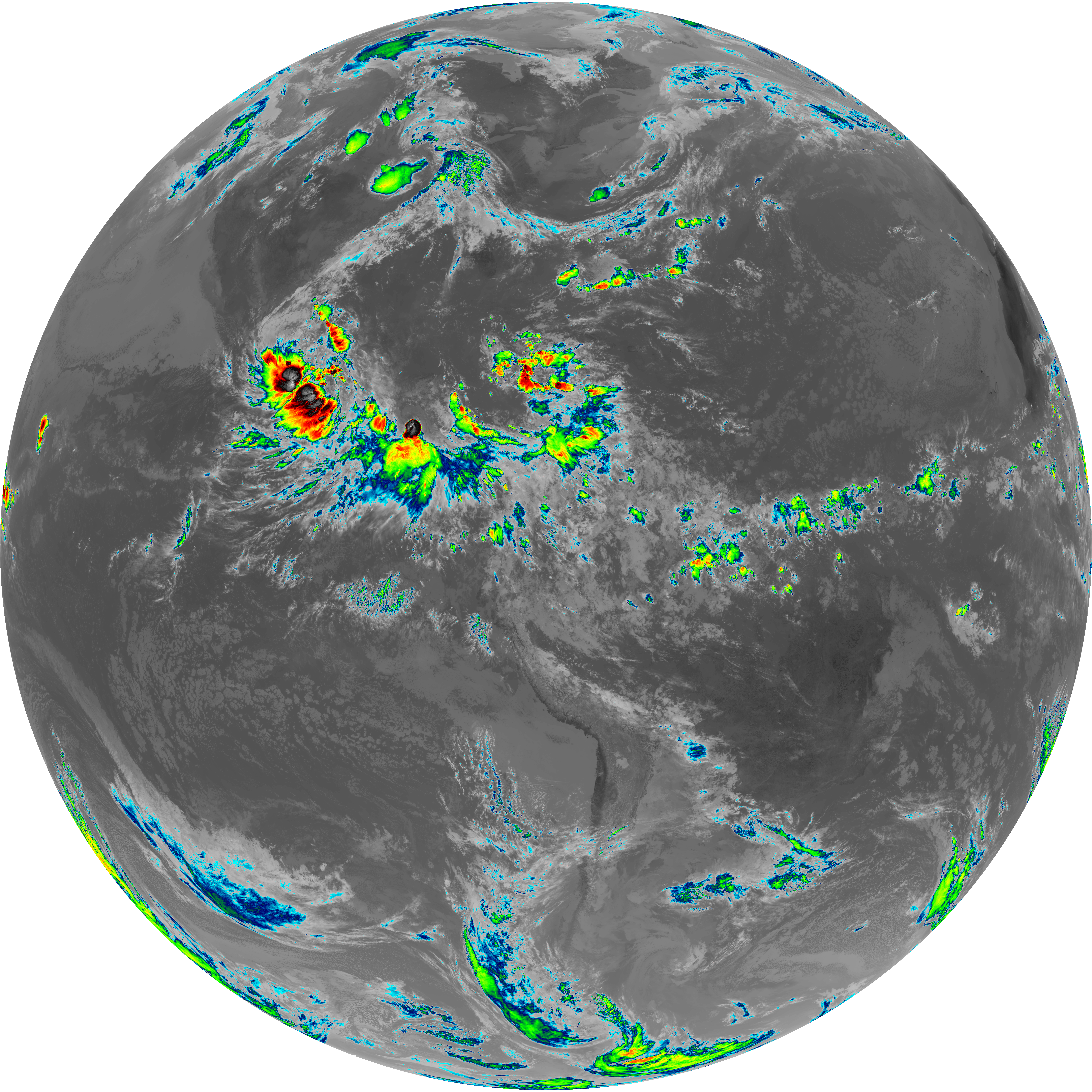
| G19_13_20260608T140021Z.png | 10357445 | 2026-Jun-08 14:16 |
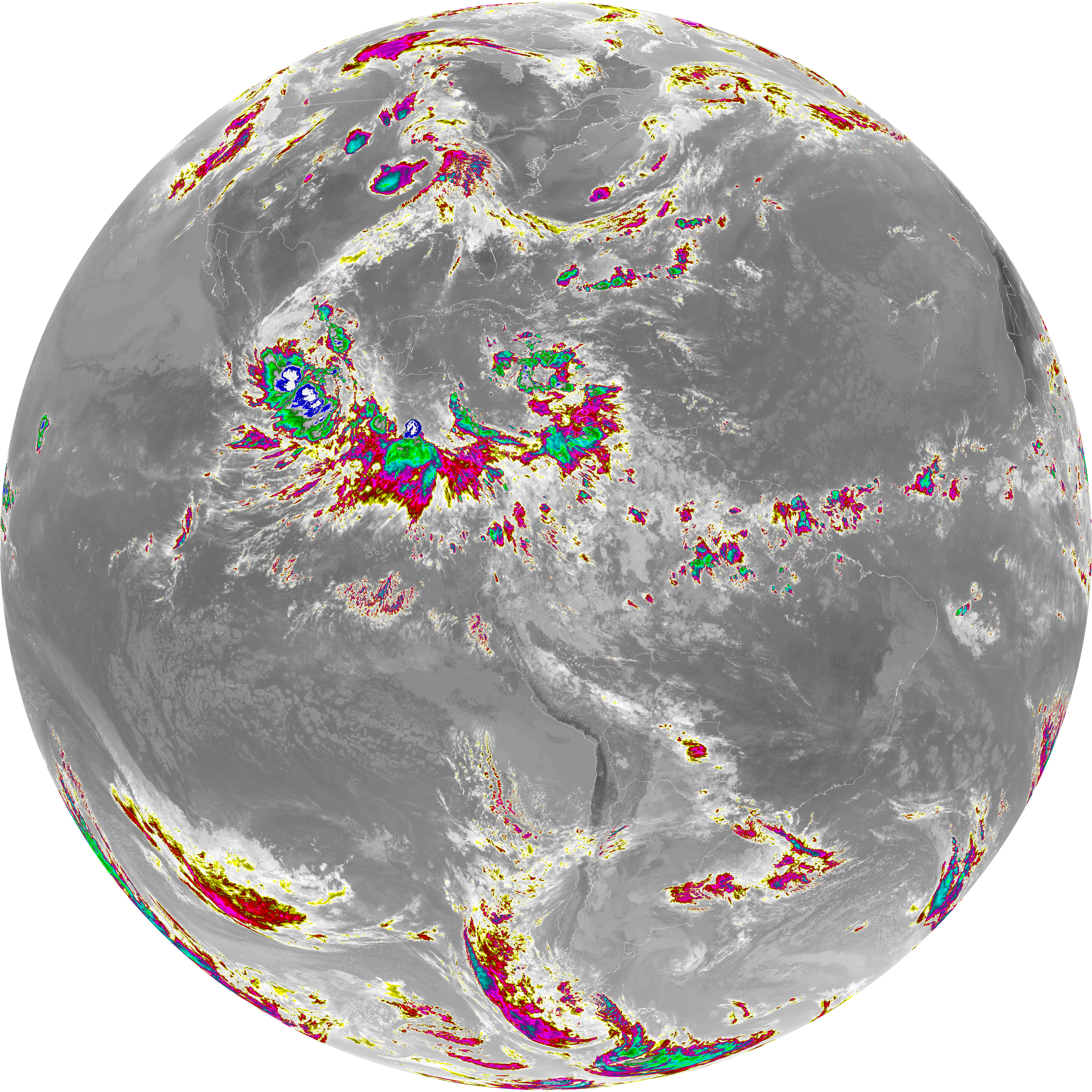
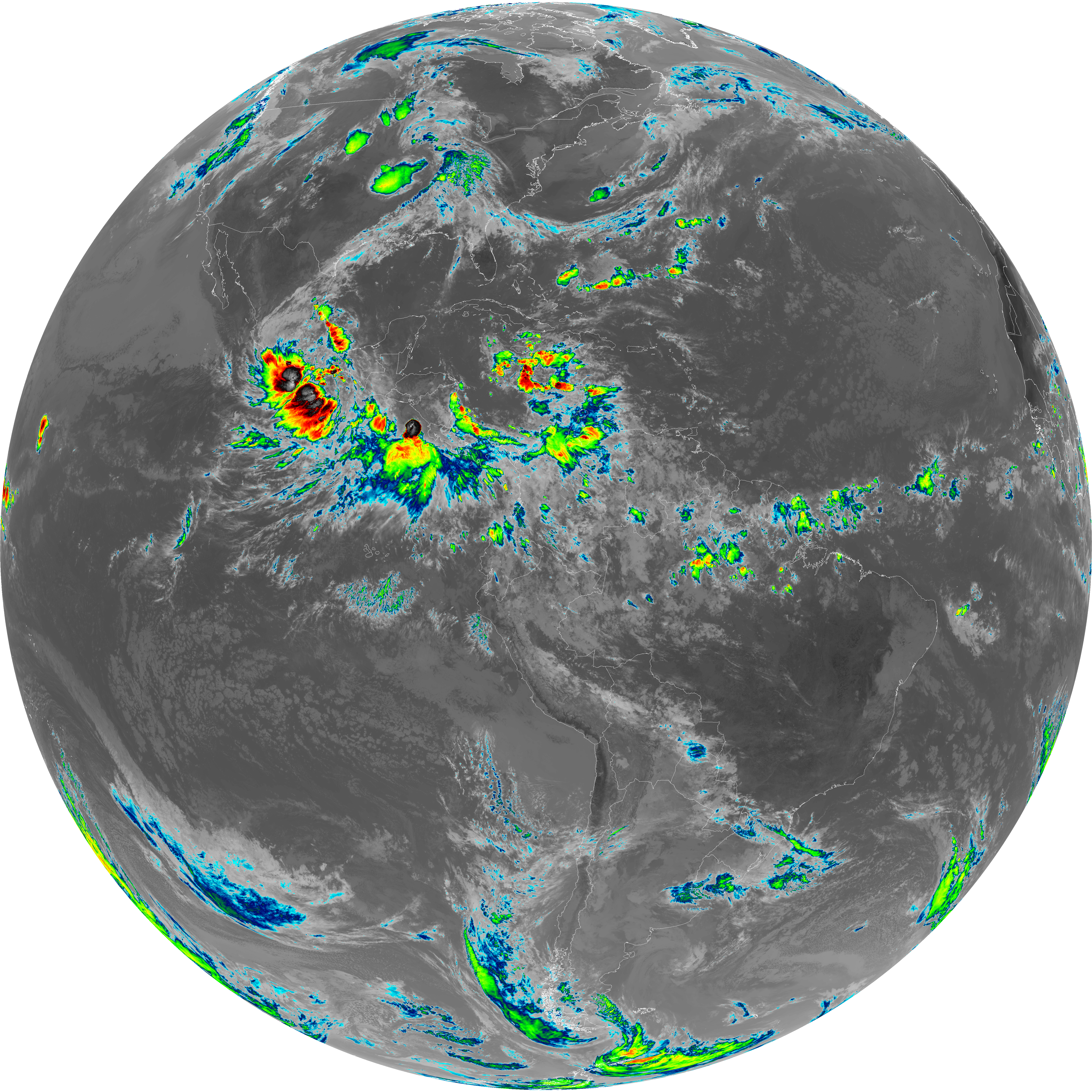
| G19_14_20260608T140021Z.png | 10474068 | 2026-Jun-08 14:26 |
| abi_rgb_Dirty_Longwave_Window_-_CIRA.png | 12073347 | 2026-Jun-08 14:29 |
| abi_rgb_Dirty_Longwave_Window_-_CIRA_map.png | 12126481 | 2026-Jun-08 14:29 |
| abi_rgb_Dirty_Longwave_Window.png | 13682508 | 2026-Jun-08 14:29 |
| abi_rgb_Dirty_Longwave_Window_map.png | 13720649 | 2026-Jun-08 14:29 |
| abi_rgb_Clean_Longwave_IR_Window_Band.png | 13889324 | 2026-Jun-08 14:16 |
| abi_rgb_Clean_Longwave_IR_Window_Band_map.png | 13923485 | 2026-Jun-08 14:16 |
| G19_2_20260608T140021Z.png | 13985134 | 2026-Jun-08 14:21 |
| abi_rgb_Infrared_Longwave_Window_Band.png | 14027346 | 2026-Jun-08 14:26 |
| abi_rgb_Infrared_Longwave_Window_Band_map.png | 14060949 | 2026-Jun-08 14:26 |
| abi_rgb_Shortwave_Window_Band.png | 14186043 | 2026-Jun-08 14:13 |
| abi_rgb_Shortwave_Window_Band_map.png | 14241261 | 2026-Jun-08 14:13 |