This directory hosts downlinked GOES products captured via SatDump. Content is organized by product family so operators and visitors can locate the feeds they need quickly.
| File Name ↓ | File Size ↓ | Date ↓ |
|---|---|---|
| Parent directory/ | - | - |
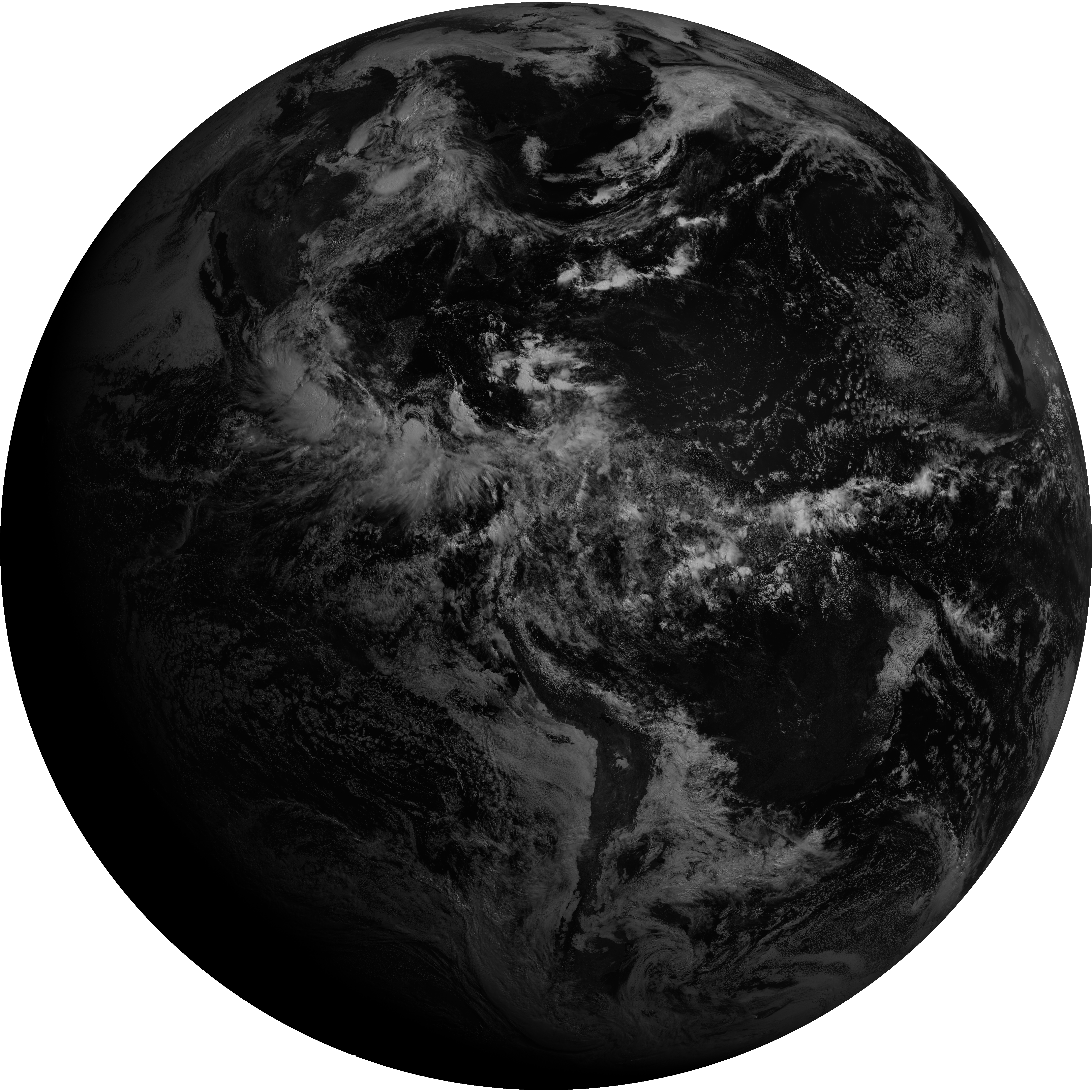
| G19_13_20260608T143021Z.png | 10445522 | 2026-Jun-08 14:46 |
| G19_2_20260608T143021Z.png | 14971966 | 2026-Jun-08 14:51 |
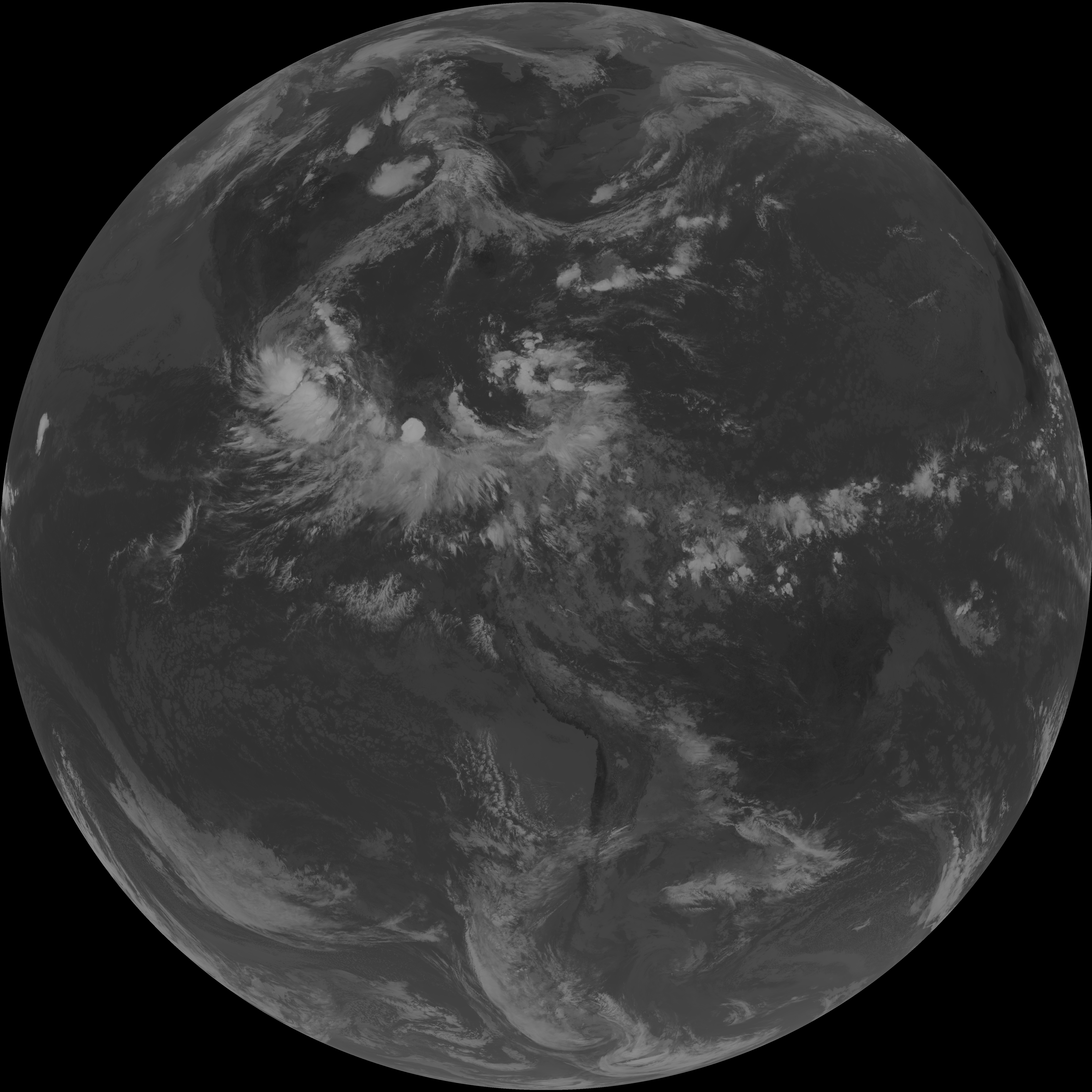
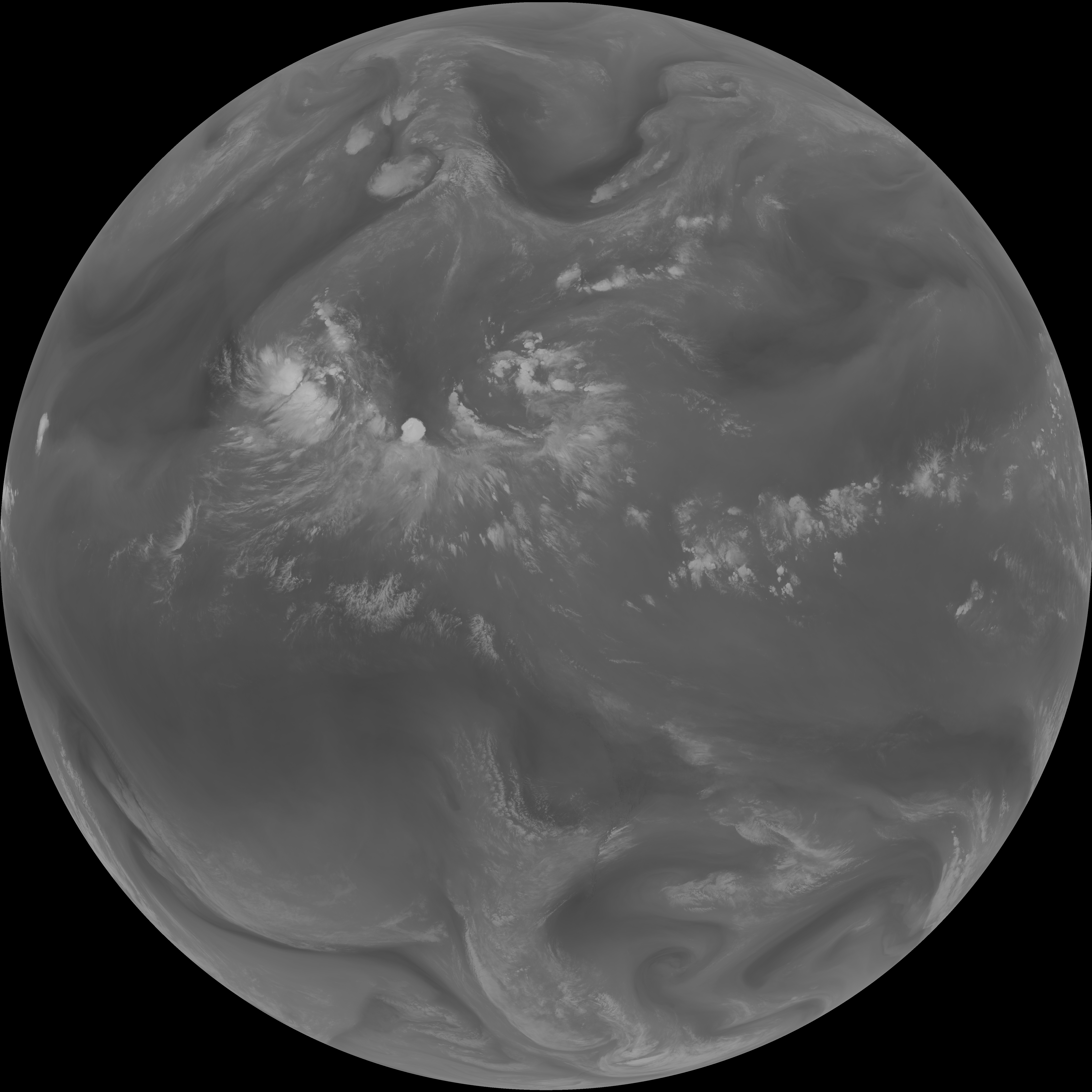
| G19_7_20260608T143021Z.png | 10310320 | 2026-Jun-08 14:43 |
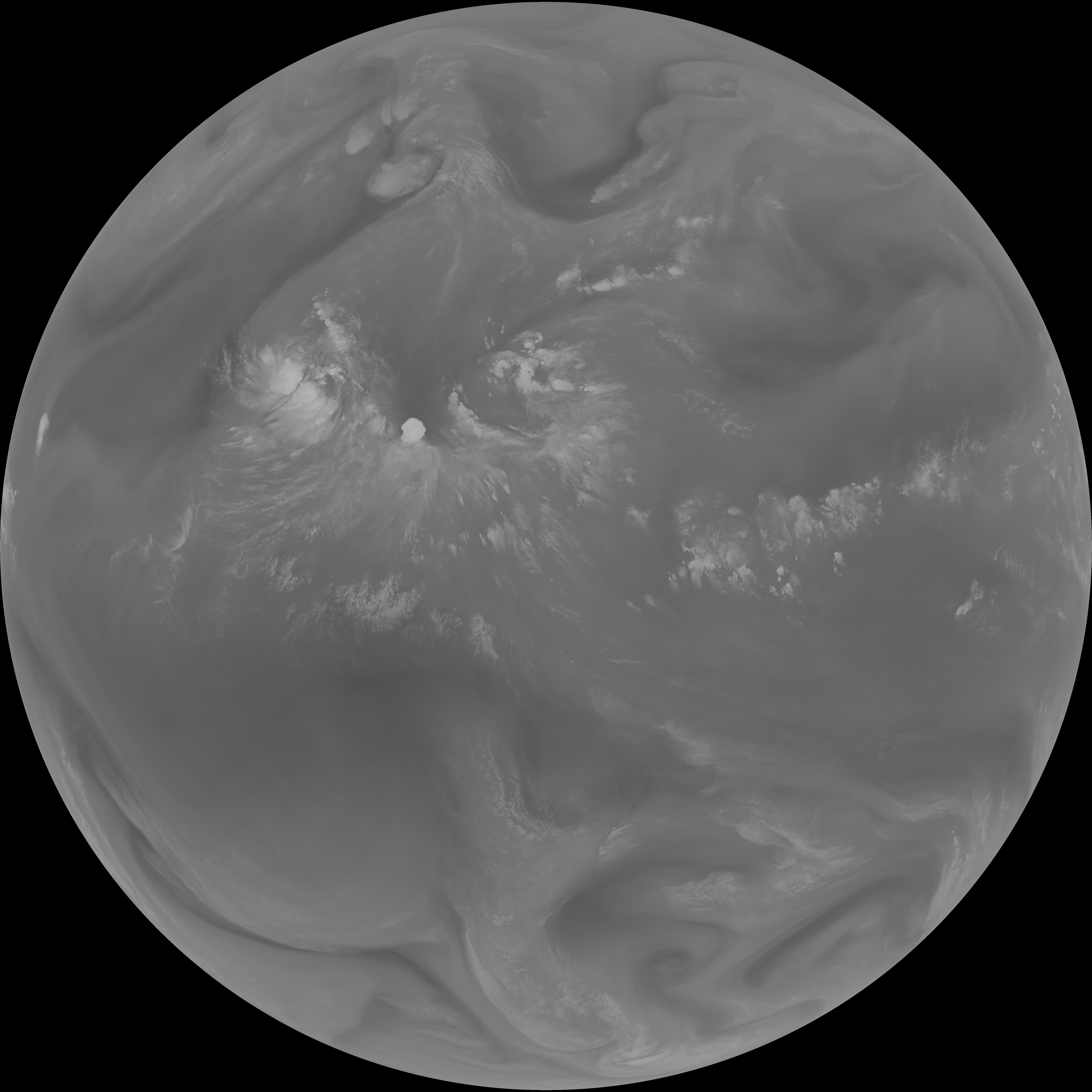
| G19_8_20260608T143021Z.png | 5520862 | 2026-Jun-08 14:53 |
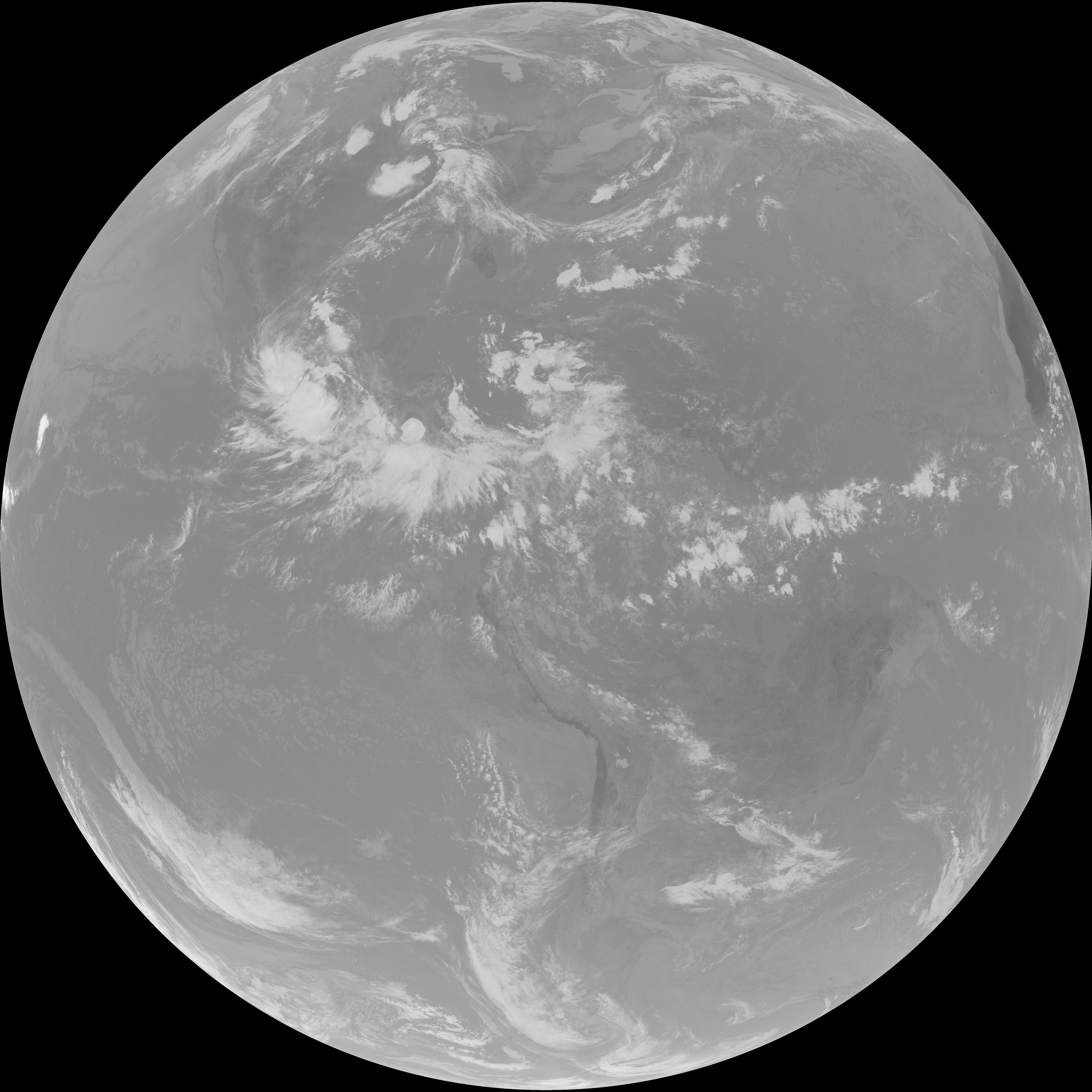
| G19_9_20260608T143021Z.png | 6352744 | 2026-Jun-08 14:55 |
| abi_rgb_Clean_Longwave_IR_Window_Band.png | 13993106 | 2026-Jun-08 14:46 |
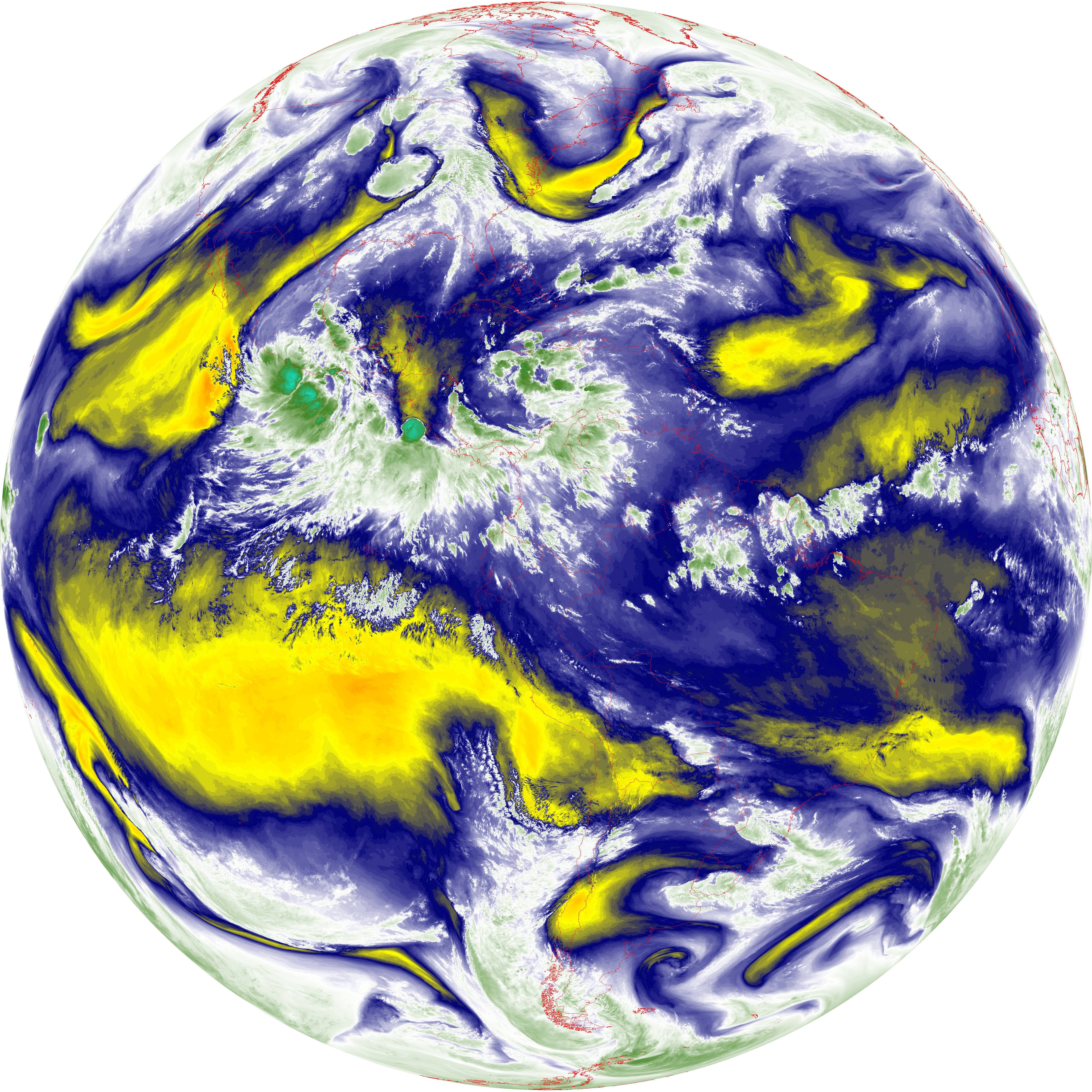
| abi_rgb_Clean_Longwave_IR_Window_Band_map.png | 14025142 | 2026-Jun-08 14:46 |
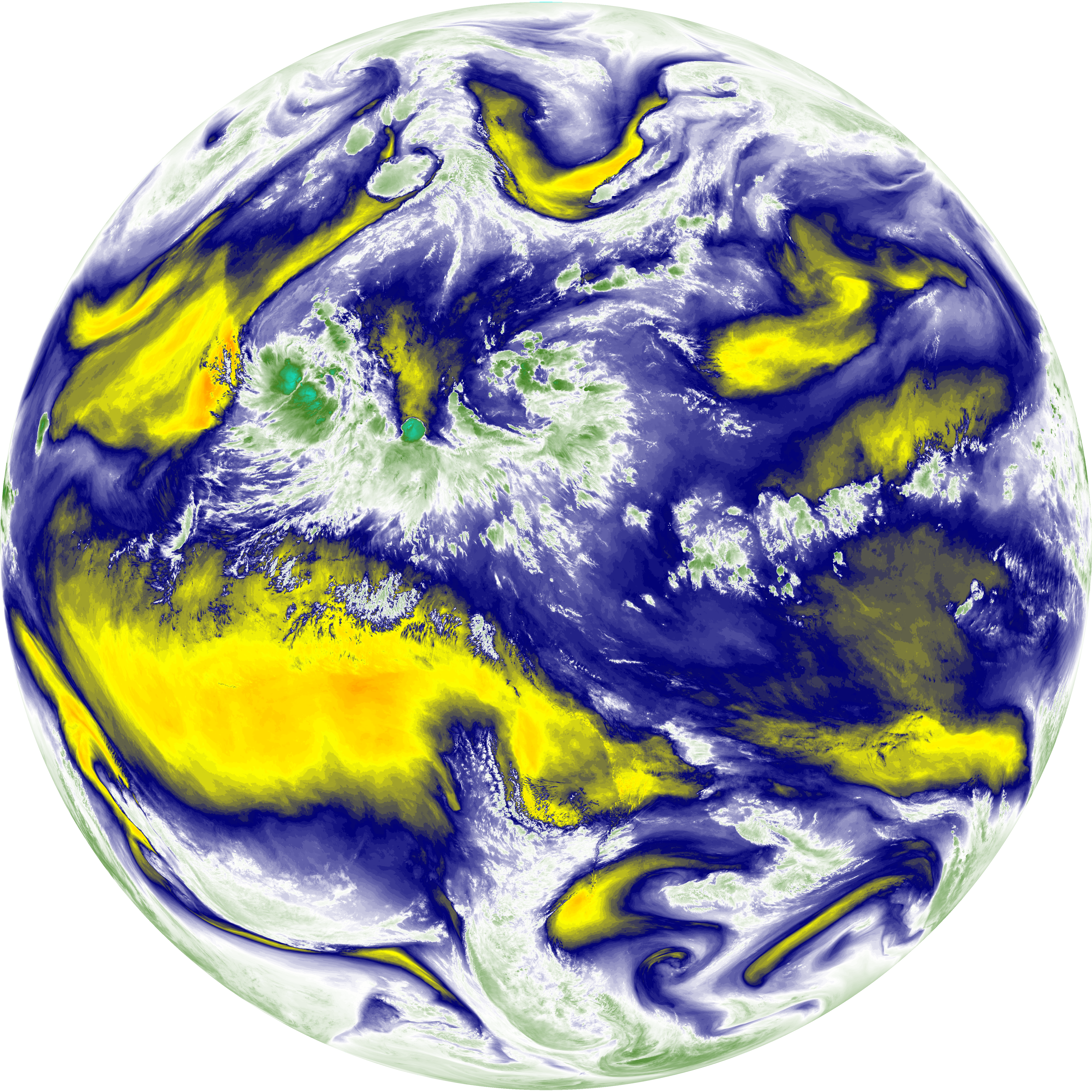
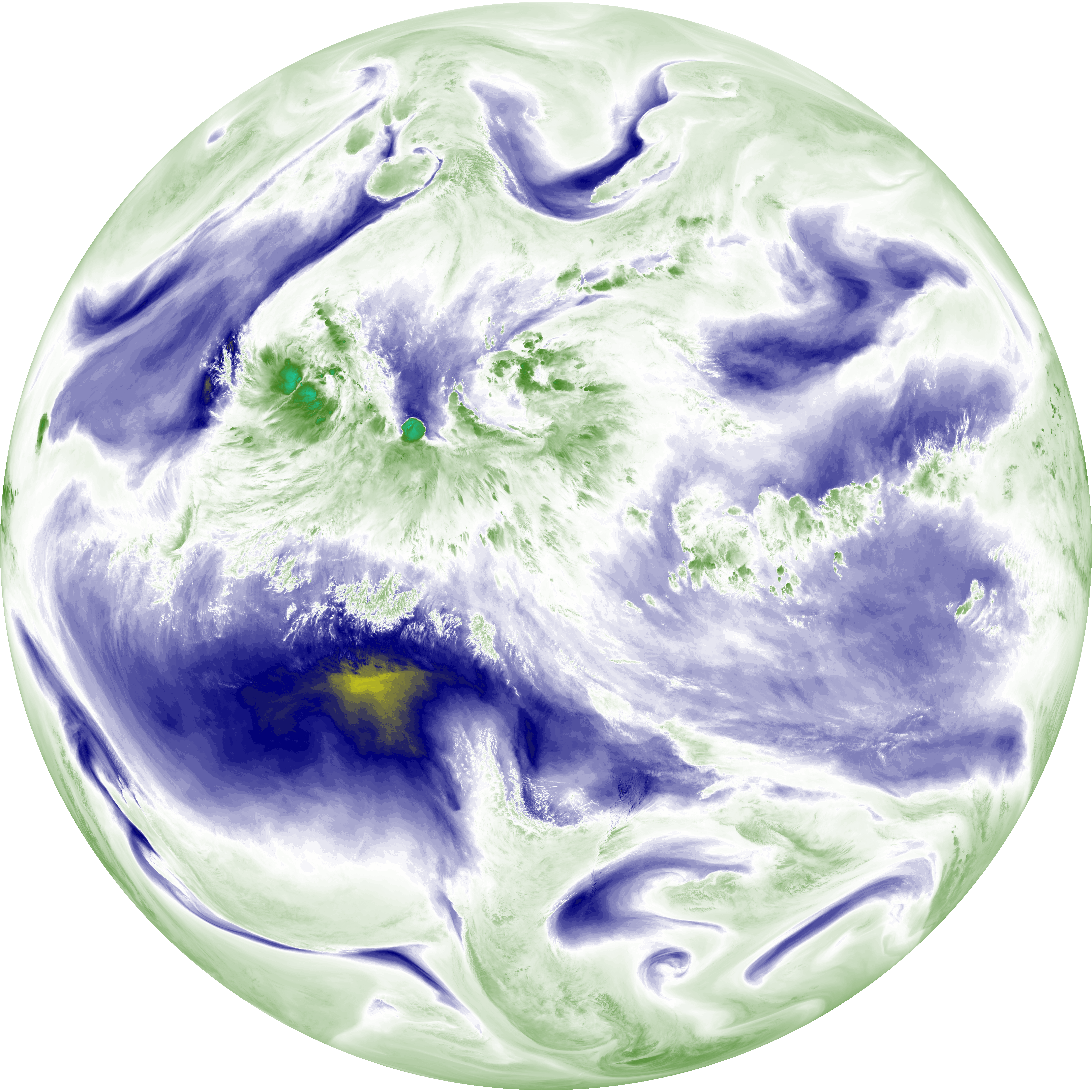
| abi_rgb_Mid-level_Tropospheric_Water_Vapor.png | 8585254 | 2026-Jun-08 14:55 |
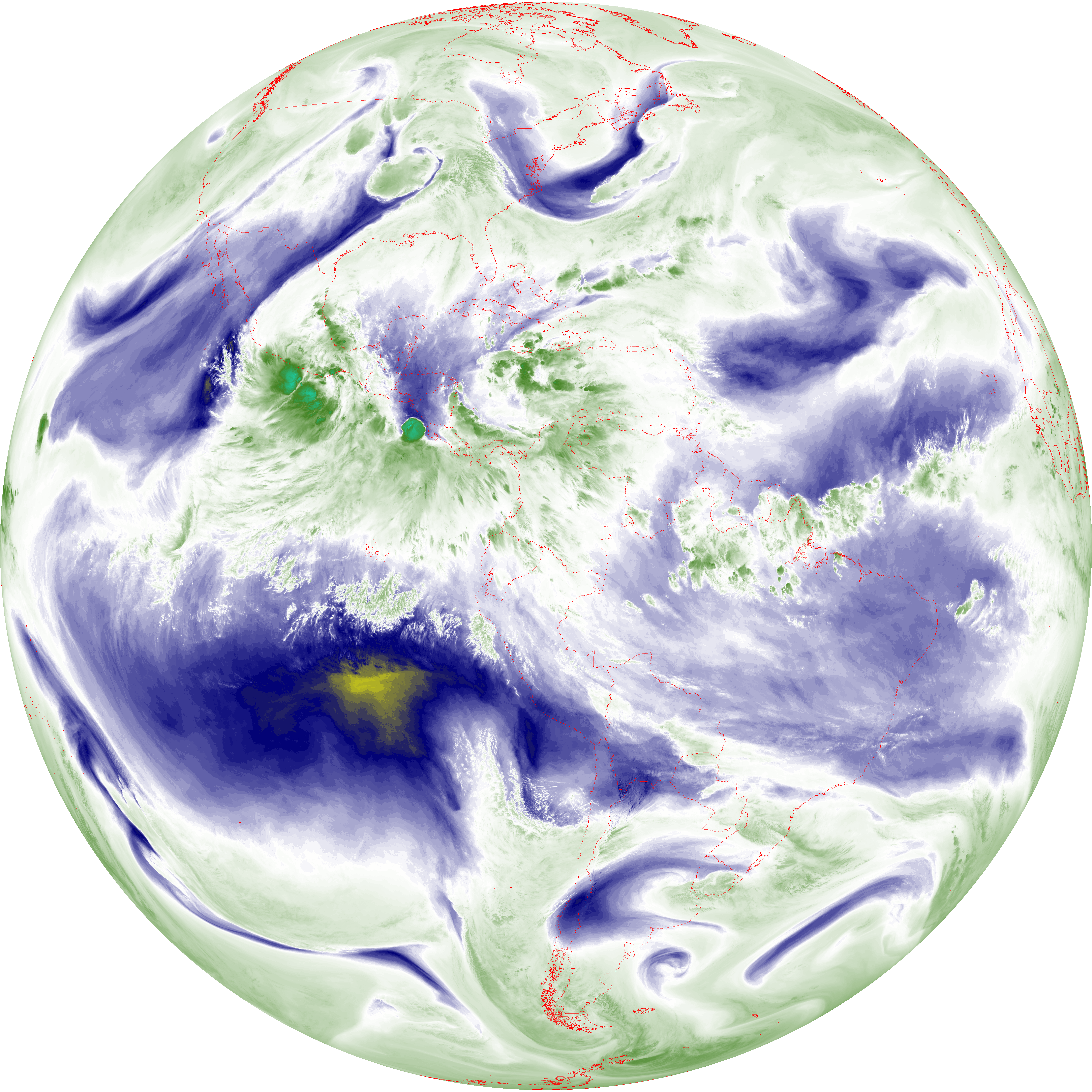
| abi_rgb_Mid-level_Tropospheric_Water_Vapor_map.png | 8689772 | 2026-Jun-08 14:55 |
| abi_rgb_Shortwave_Window_Band.png | 14127671 | 2026-Jun-08 14:43 |
| abi_rgb_Shortwave_Window_Band_map.png | 14179020 | 2026-Jun-08 14:43 |
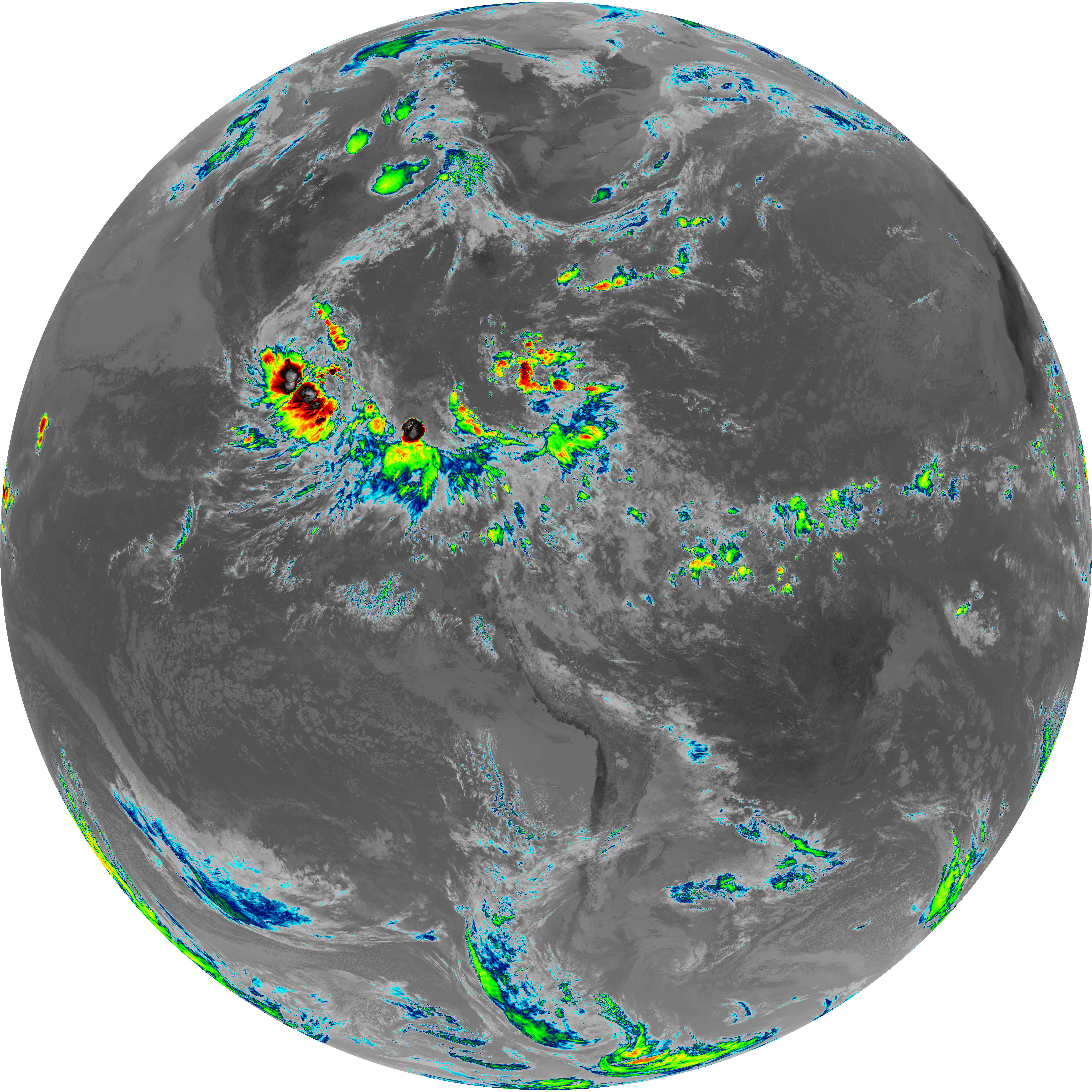
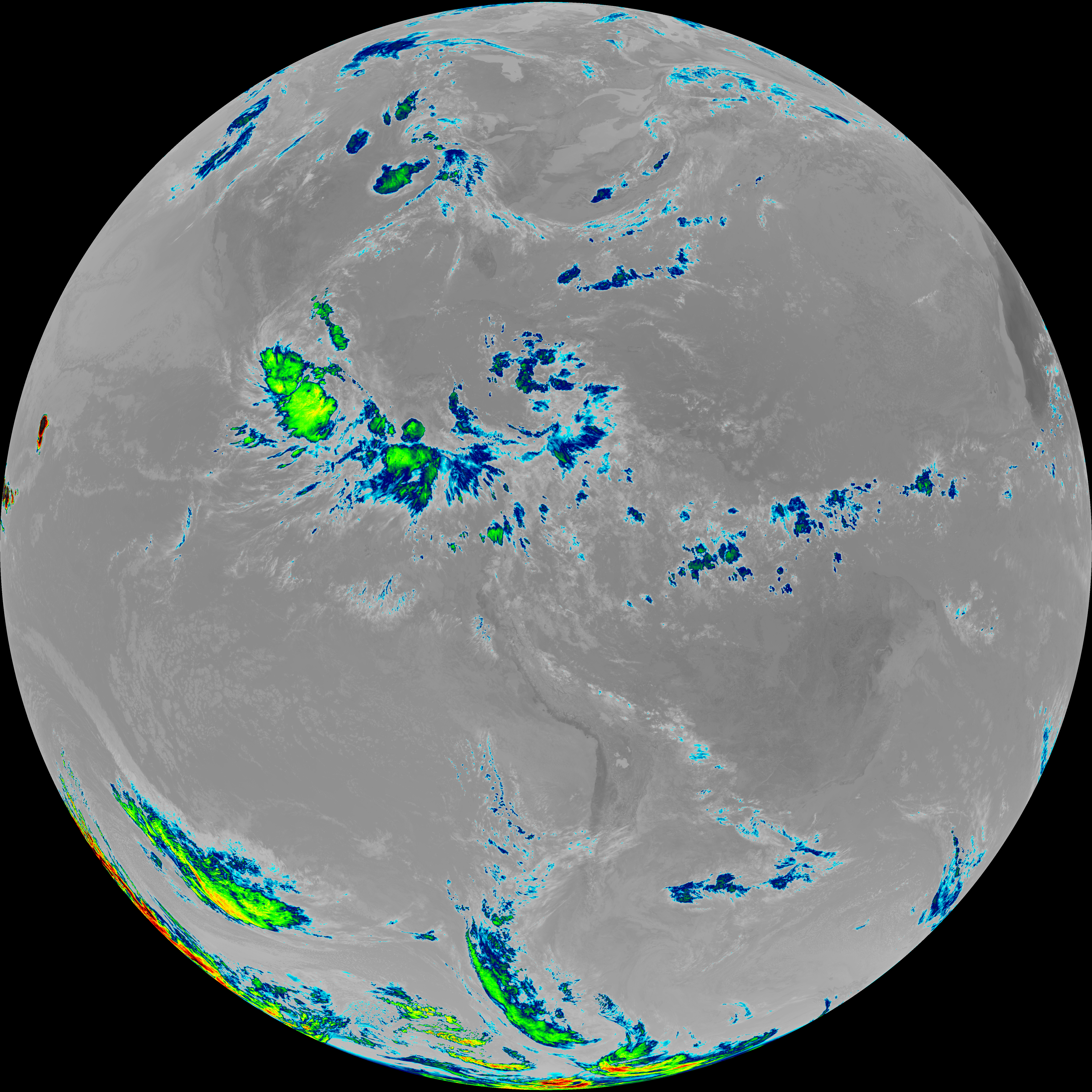
| abi_rgb_Upper-Level_Tropospheric_Water_Vapor.png | 7392124 | 2026-Jun-08 14:53 |
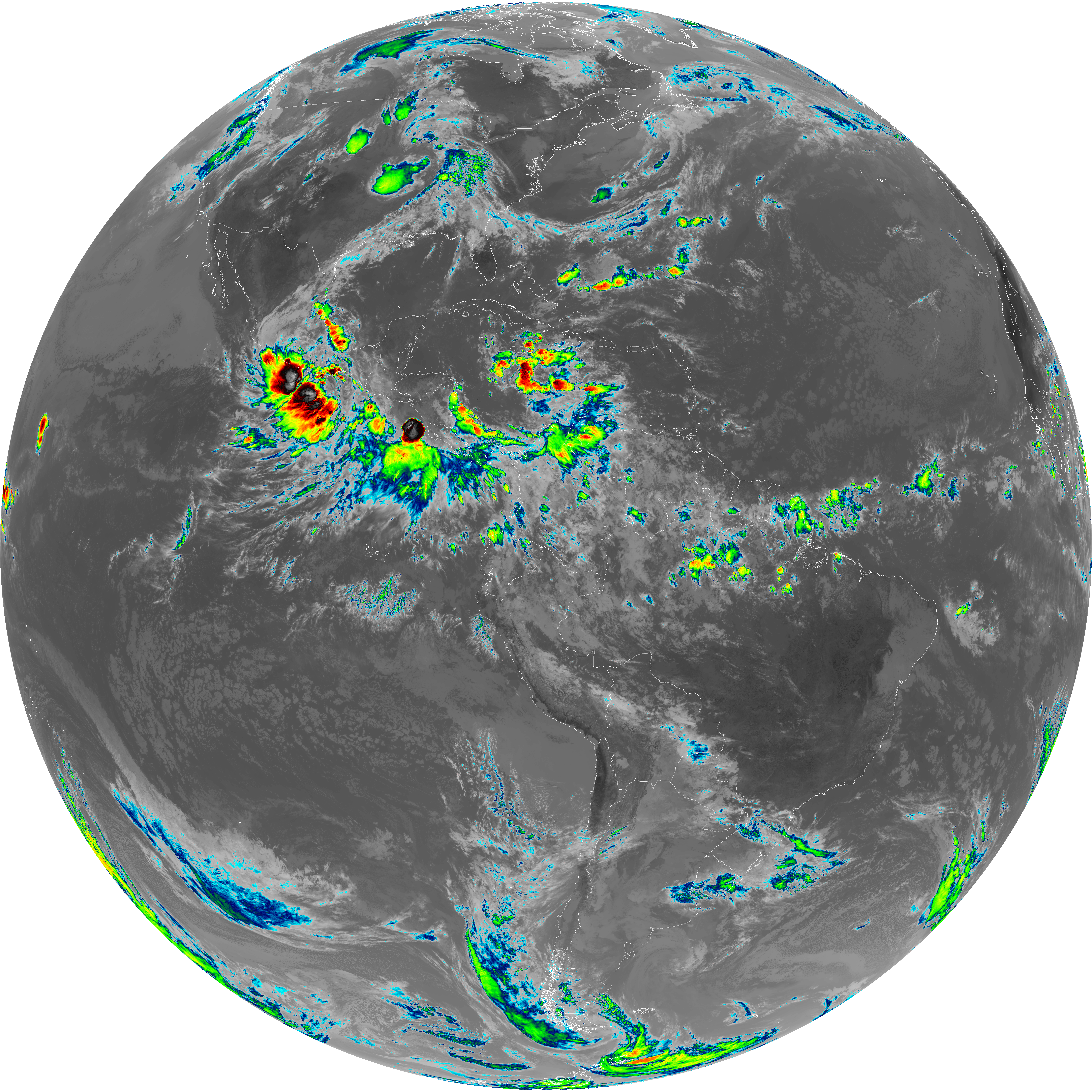
| abi_rgb_Upper-Level_Tropospheric_Water_Vapor_map.png | 7505570 | 2026-Jun-08 14:53 |