This directory hosts downlinked GOES products captured via SatDump. Content is organized by product family so operators and visitors can locate the feeds they need quickly.
| File Name ↓ | File Size ↓ | Date ↓ |
|---|---|---|
| Parent directory/ | - | - |
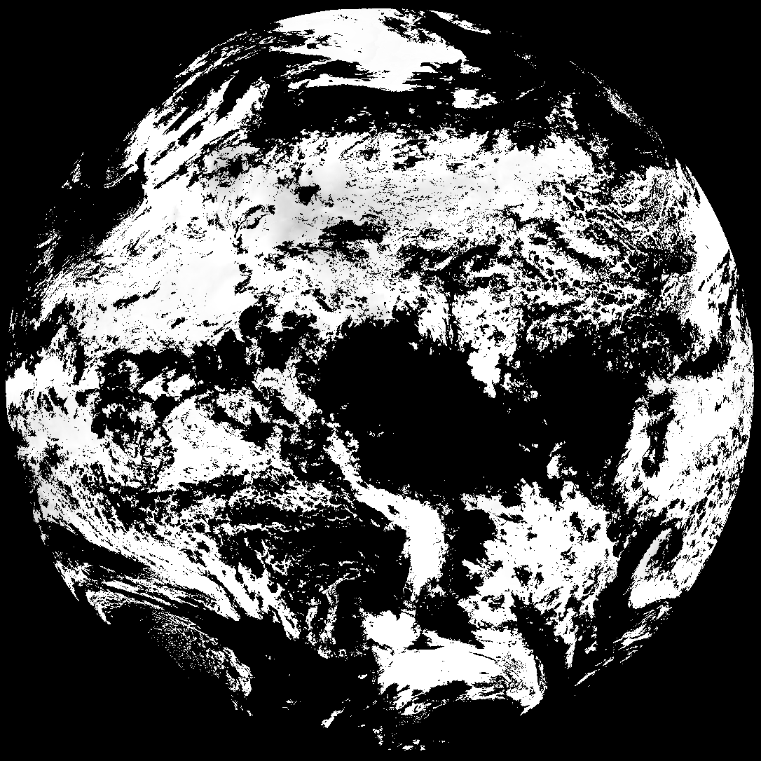
| G19_TPW_20260305T120020Z.png | 252755 | 2026-Mar-05 12:29 |
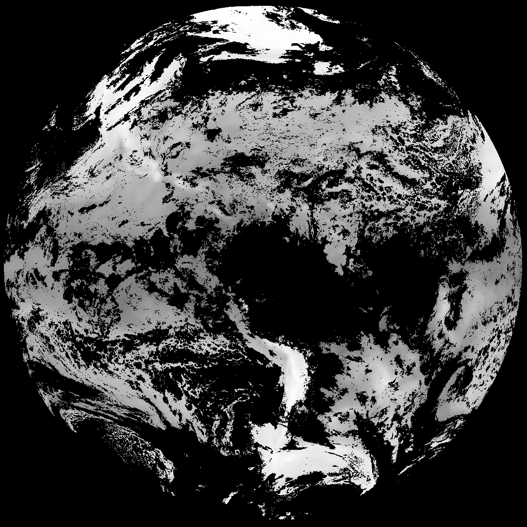
| abi_rgb_Total_Precipitable_Water.png | 329393 | 2026-Mar-05 12:29 |
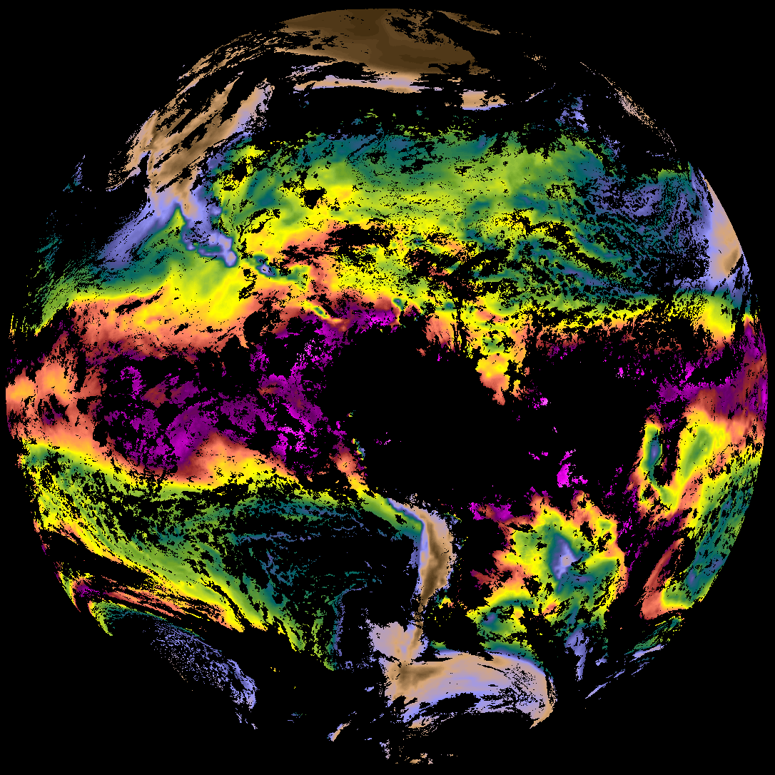
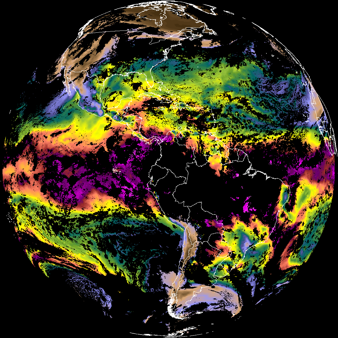
| abi_rgb_Total_Precipitable_Water_map.png | 341411 | 2026-Mar-05 12:29 |
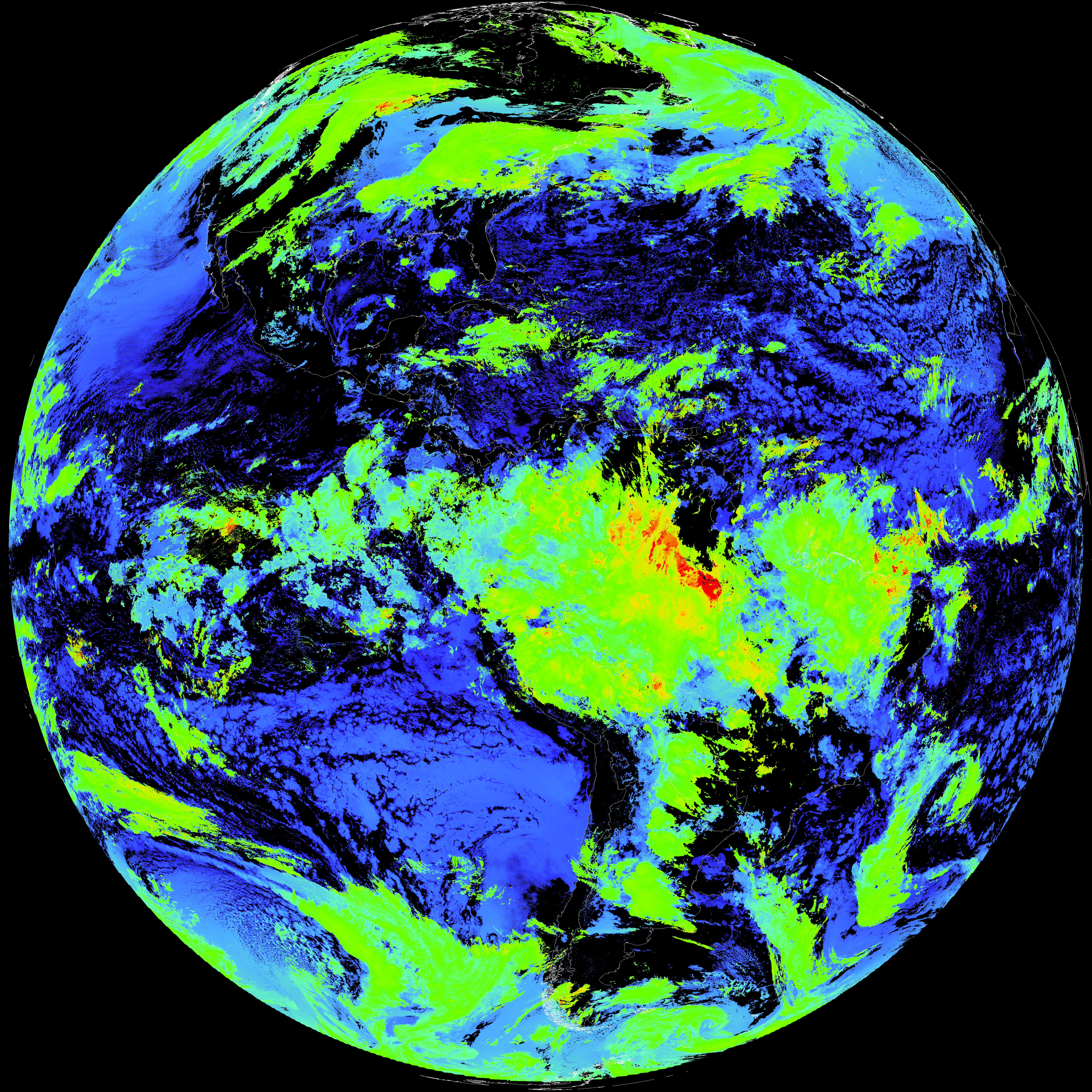
| G19_ACHT_20260305T120020Z.png | 11744135 | 2026-Mar-05 12:34 |
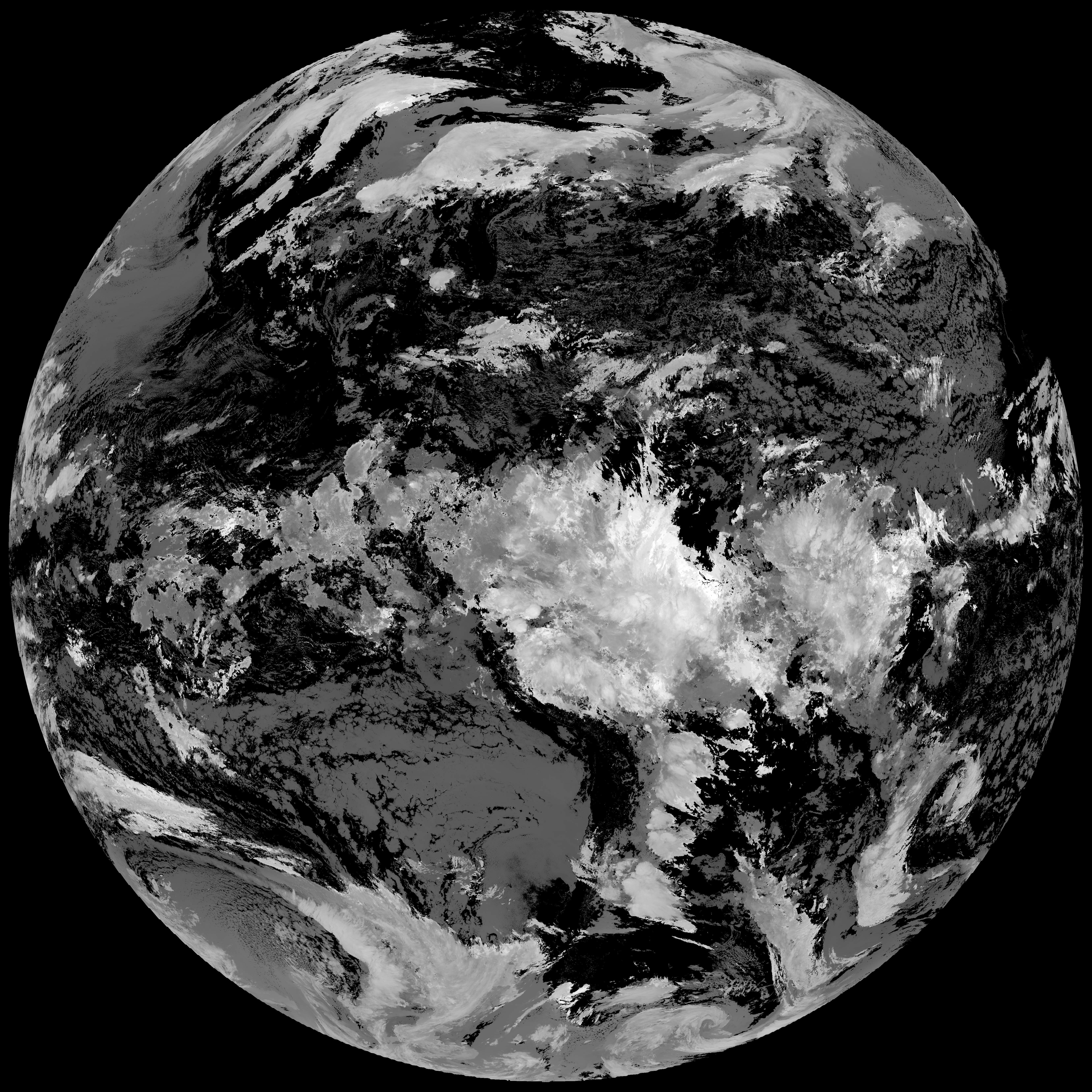
| abi_rgb_Cloud_top_Temperature_(ACHT).png | 15820897 | 2026-Mar-05 12:34 |
| abi_rgb_Cloud_top_Temperature_(ACHT)_map.png | 15907254 | 2026-Mar-05 12:34 |
| abi_rgb_Derived_Stability_Indices_-_CAPE.png | 185376 | 2026-Mar-05 12:34 |
| G19_DSI_20260305T120020Z.png | 140018 | 2026-Mar-05 12:34 |
| product.cbor | 554 | 2026-Mar-05 12:34 |
| abi_rgb_Derived_Stability_Indices_-_CAPE_map.png | 199547 | 2026-Mar-05 12:34 |