This directory hosts downlinked GOES products captured via SatDump. Content is organized by product family so operators and visitors can locate the feeds they need quickly.
| File Name ↓ | File Size ↓ | Date ↓ |
|---|---|---|
| Parent directory/ | - | - |
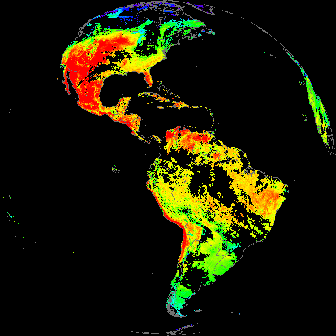
| abi_rgb_Land_Surface_Temperature_map.png | 186692 | 2026-May-15 19:12 |
| product.cbor | 621 | 2026-May-15 19:12 |
| G19_LST_20260515T180020Z.png | 142435 | 2026-May-15 19:12 |
| abi_rgb_Land_Surface_Temperature.png | 181085 | 2026-May-15 19:12 |
| abi_rgb_Sea_Surface_Temperature_map.png | 7495867 | 2026-May-15 19:10 |
| abi_rgb_Sea_Surface_Temperature.png | 7397272 | 2026-May-15 19:10 |
| G19_SST_20260515T180020Z.png | 7592919 | 2026-May-15 19:10 |
| abi_rgb_Cloud_top_Temperature_(ACHT)_map.png | 11827497 | 2026-May-15 19:06 |
| abi_rgb_Cloud_top_Temperature_(ACHT).png | 11719698 | 2026-May-15 19:06 |
| G19_ACHT_20260515T180020Z.png | 8596630 | 2026-May-15 19:06 |
| abi_rgb_Derived_Stability_Indices_-_CAPE_map.png | 195804 | 2026-May-15 18:40 |
| abi_rgb_Derived_Stability_Indices_-_CAPE.png | 181209 | 2026-May-15 18:40 |
| G19_DSI_20260515T180020Z.png | 134699 | 2026-May-15 18:40 |