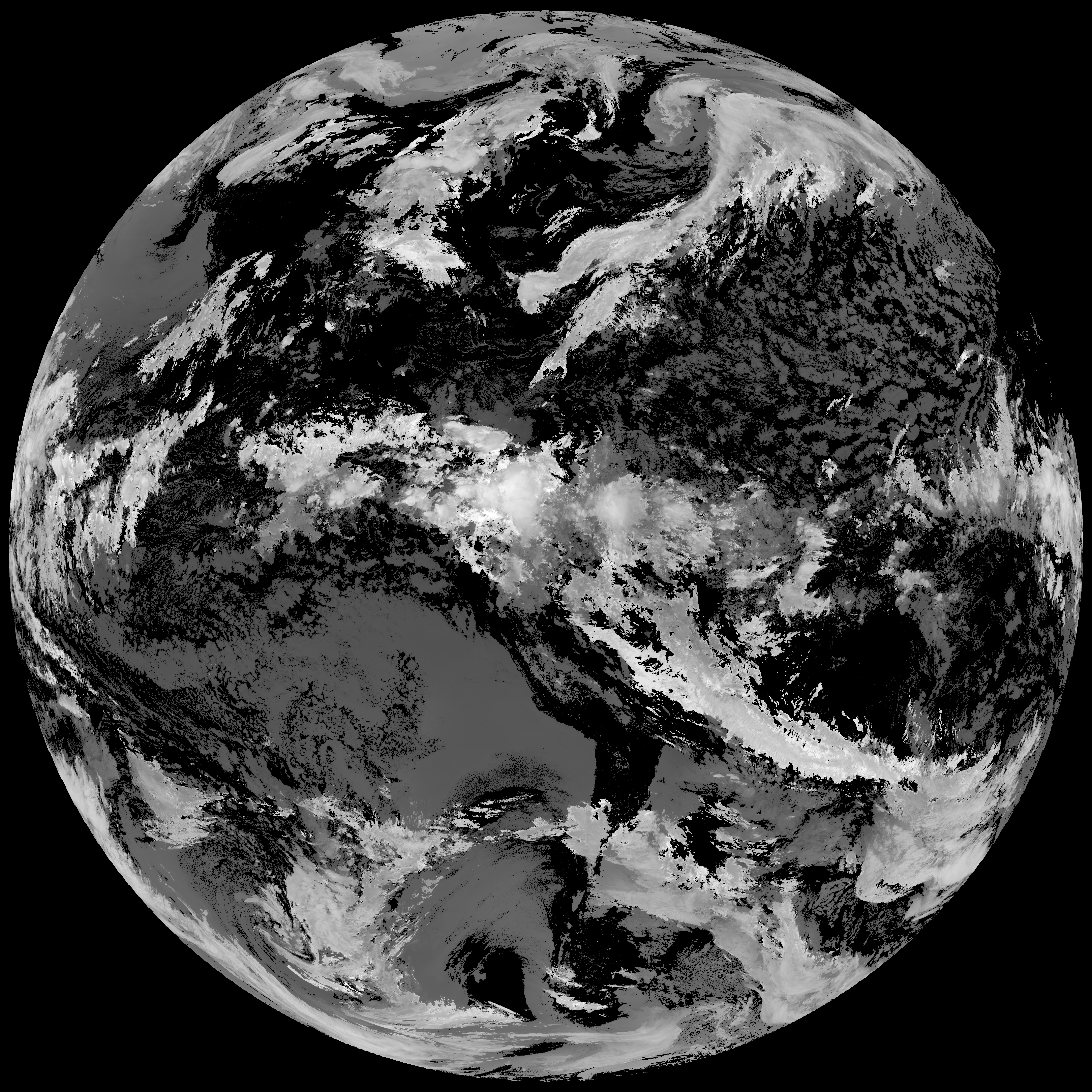
This directory hosts downlinked GOES products captured via SatDump. Content is organized by product family so operators and visitors can locate the feeds they need quickly.
| File Name ↓ | File Size ↓ | Date ↓ |
|---|---|---|
| Parent directory/ | - | - |
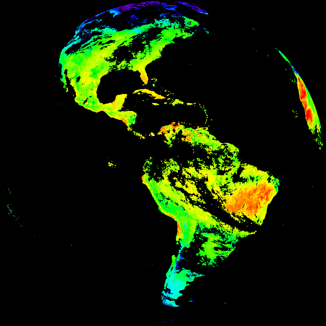
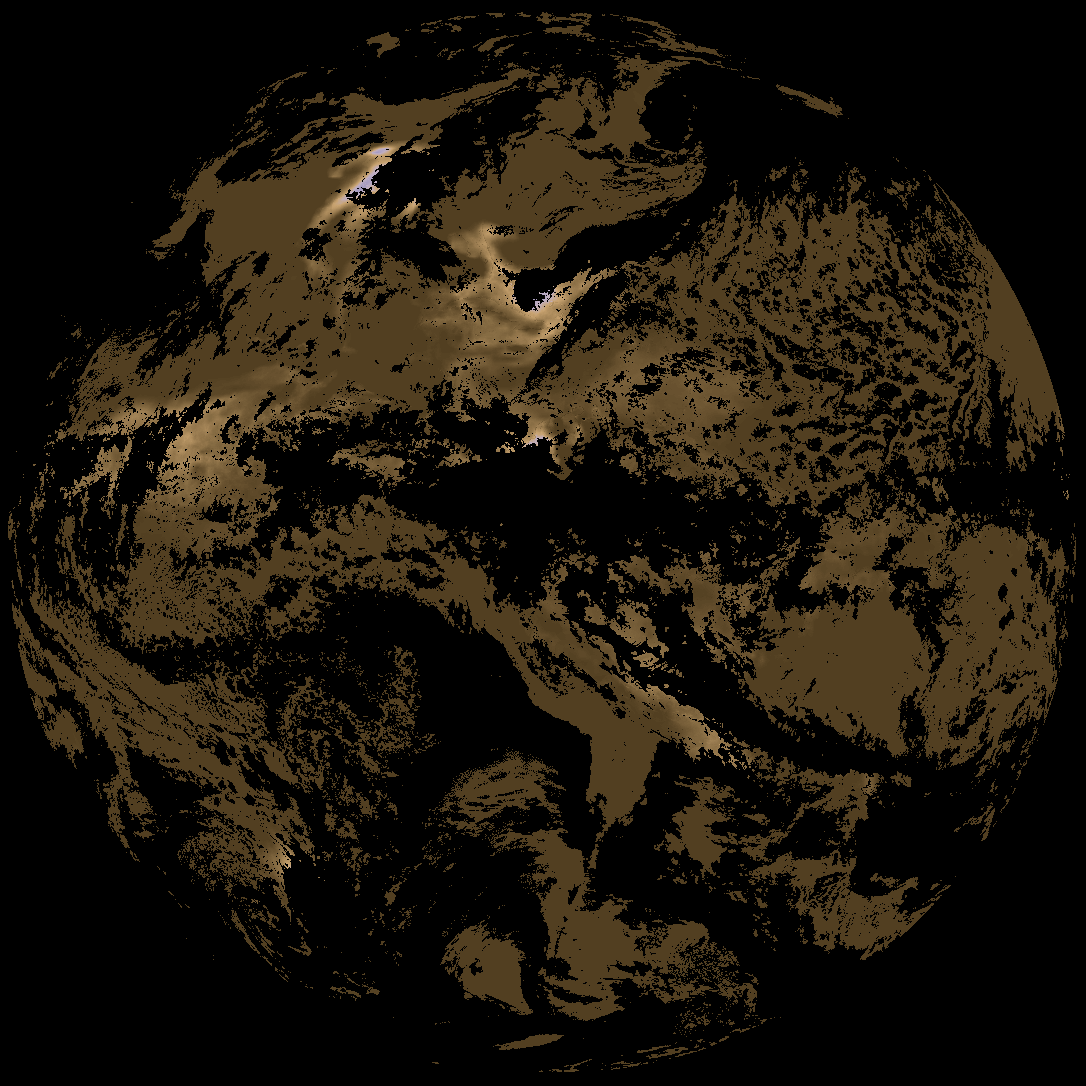
| abi_rgb_Land_Surface_Temperature_map.png | 178495 | 2026-May-16 15:12 |
| abi_rgb_Land_Surface_Temperature.png | 172624 | 2026-May-16 15:12 |
| G19_LST_20260516T140020Z.png | 129619 | 2026-May-16 15:12 |
| product.cbor | 621 | 2026-May-16 15:12 |
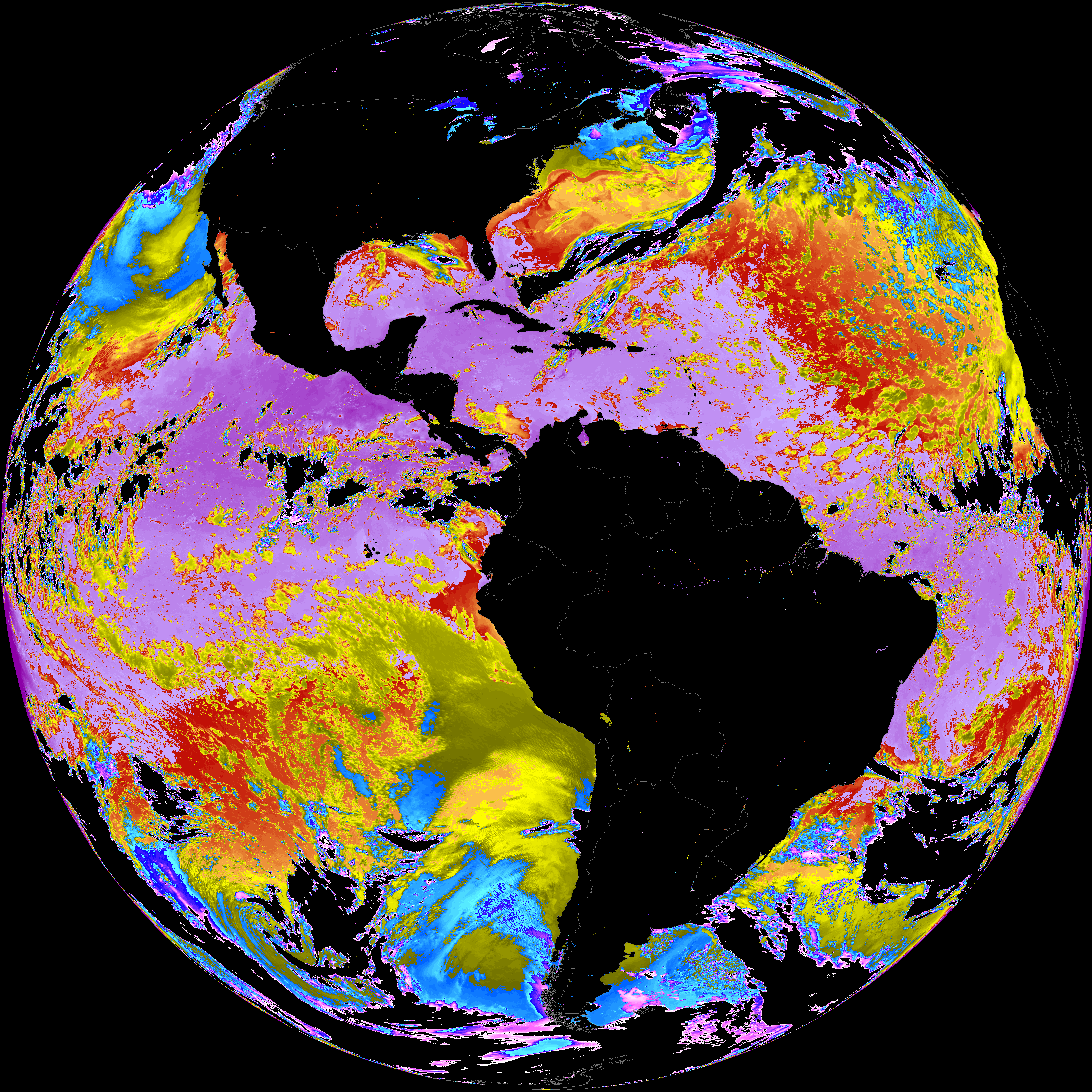
| abi_rgb_Sea_Surface_Temperature_map.png | 7711214 | 2026-May-16 15:09 |
| abi_rgb_Sea_Surface_Temperature.png | 7613810 | 2026-May-16 15:09 |
| G19_SST_20260516T140020Z.png | 7615411 | 2026-May-16 15:09 |
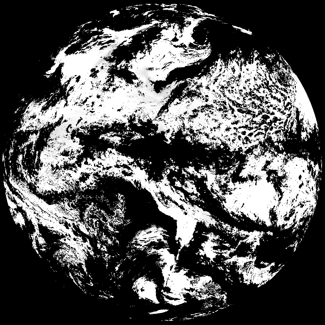
| abi_rgb_Derived_Stability_Indices_-_CAPE_map.png | 185349 | 2026-May-16 14:38 |
| abi_rgb_Derived_Stability_Indices_-_CAPE.png | 171570 | 2026-May-16 14:38 |
| G19_DSI_20260516T140020Z.png | 128326 | 2026-May-16 14:38 |
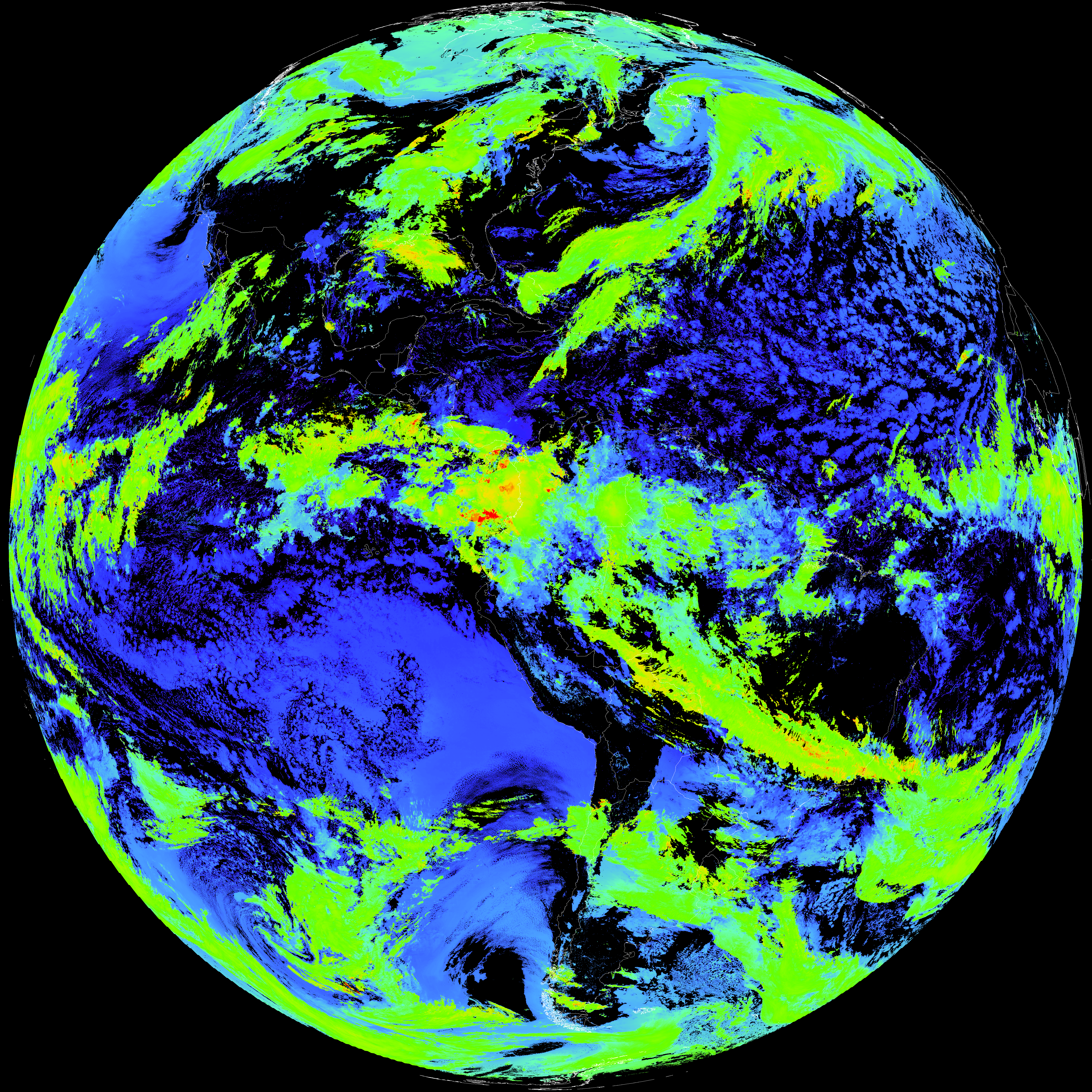
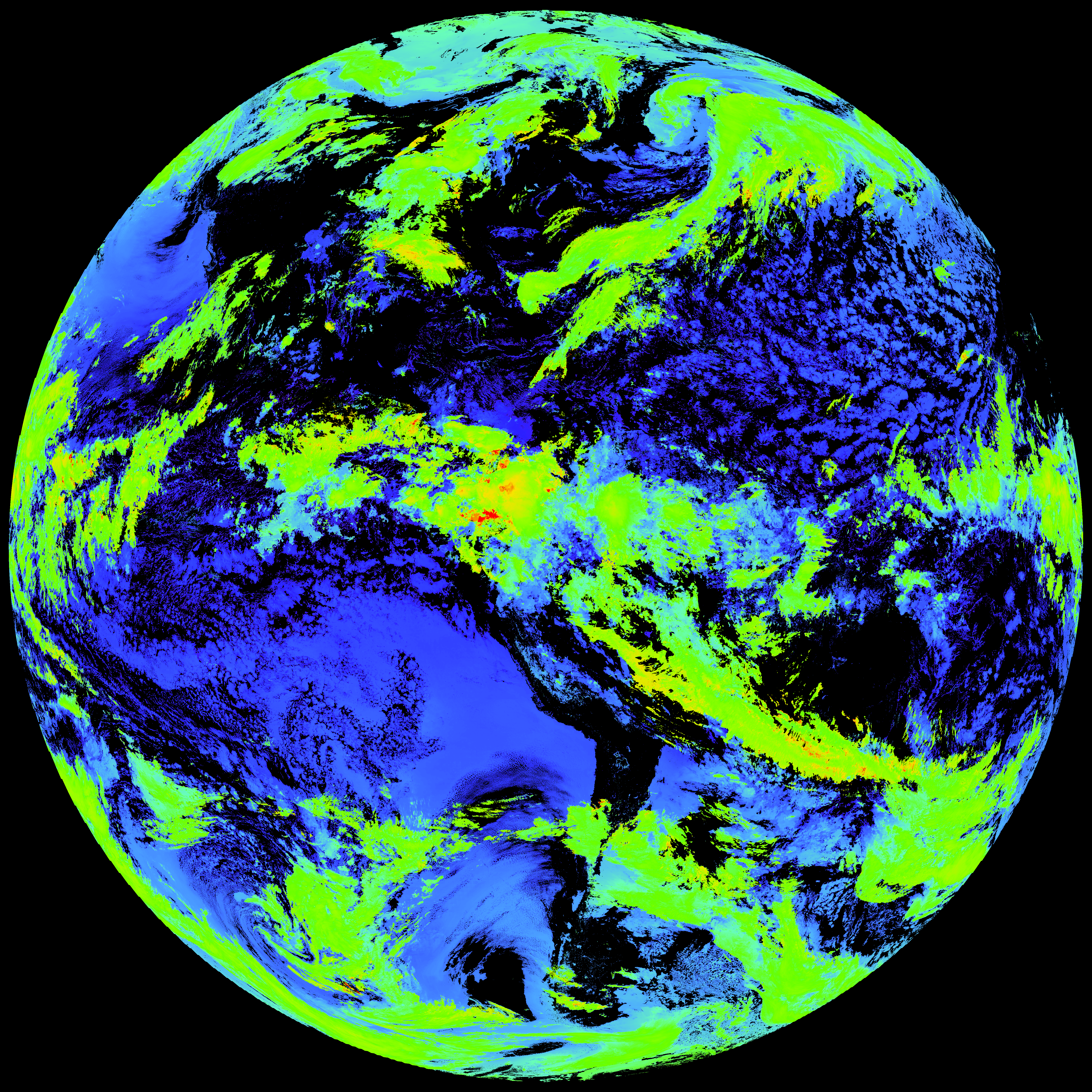
| abi_rgb_Cloud_top_Temperature_(ACHT)_map.png | 15824091 | 2026-May-16 14:37 |
| abi_rgb_Cloud_top_Temperature_(ACHT).png | 15739060 | 2026-May-16 14:37 |
| G19_ACHT_20260516T140020Z.png | 11650247 | 2026-May-16 14:37 |