This directory hosts downlinked GOES products captured via SatDump. Content is organized by product family so operators and visitors can locate the feeds they need quickly.
| File Name ↓ | File Size ↓ | Date ↓ |
|---|---|---|
| Parent directory/ | - | - |
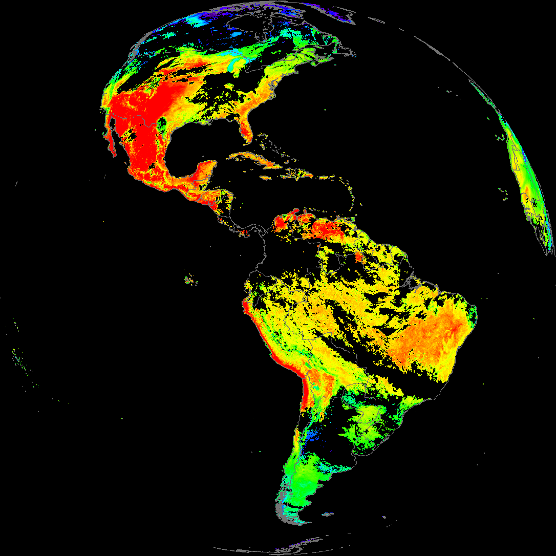
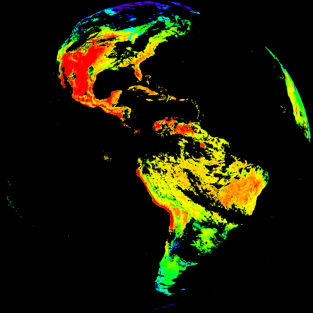
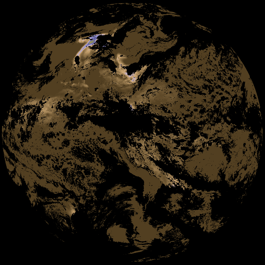
| abi_rgb_Land_Surface_Temperature_map.png | 179918 | 2026-May-16 19:12 |
| abi_rgb_Land_Surface_Temperature.png | 174695 | 2026-May-16 19:12 |
| product.cbor | 621 | 2026-May-16 19:12 |
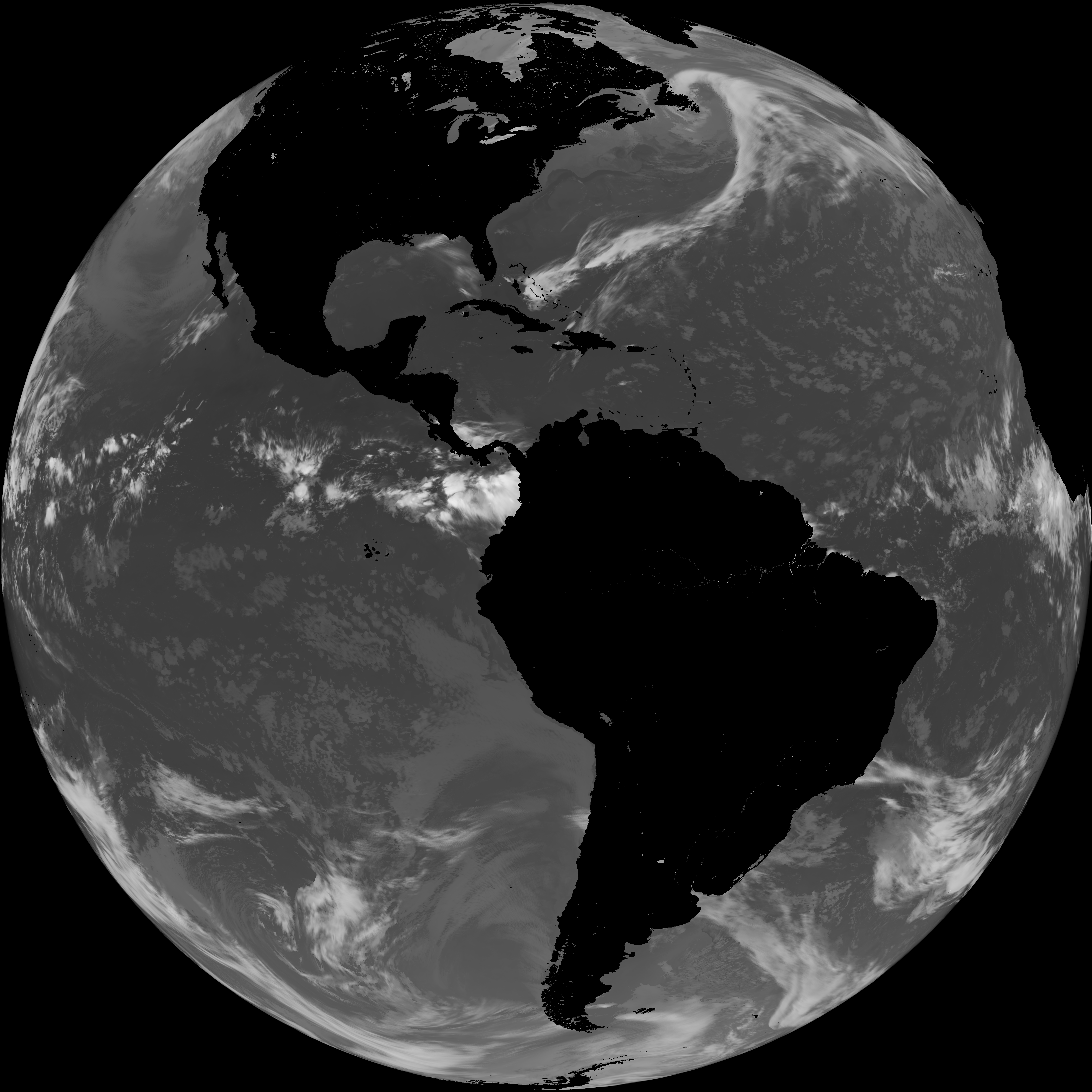
| G19_LST_20260516T180020Z.png | 136790 | 2026-May-16 19:12 |
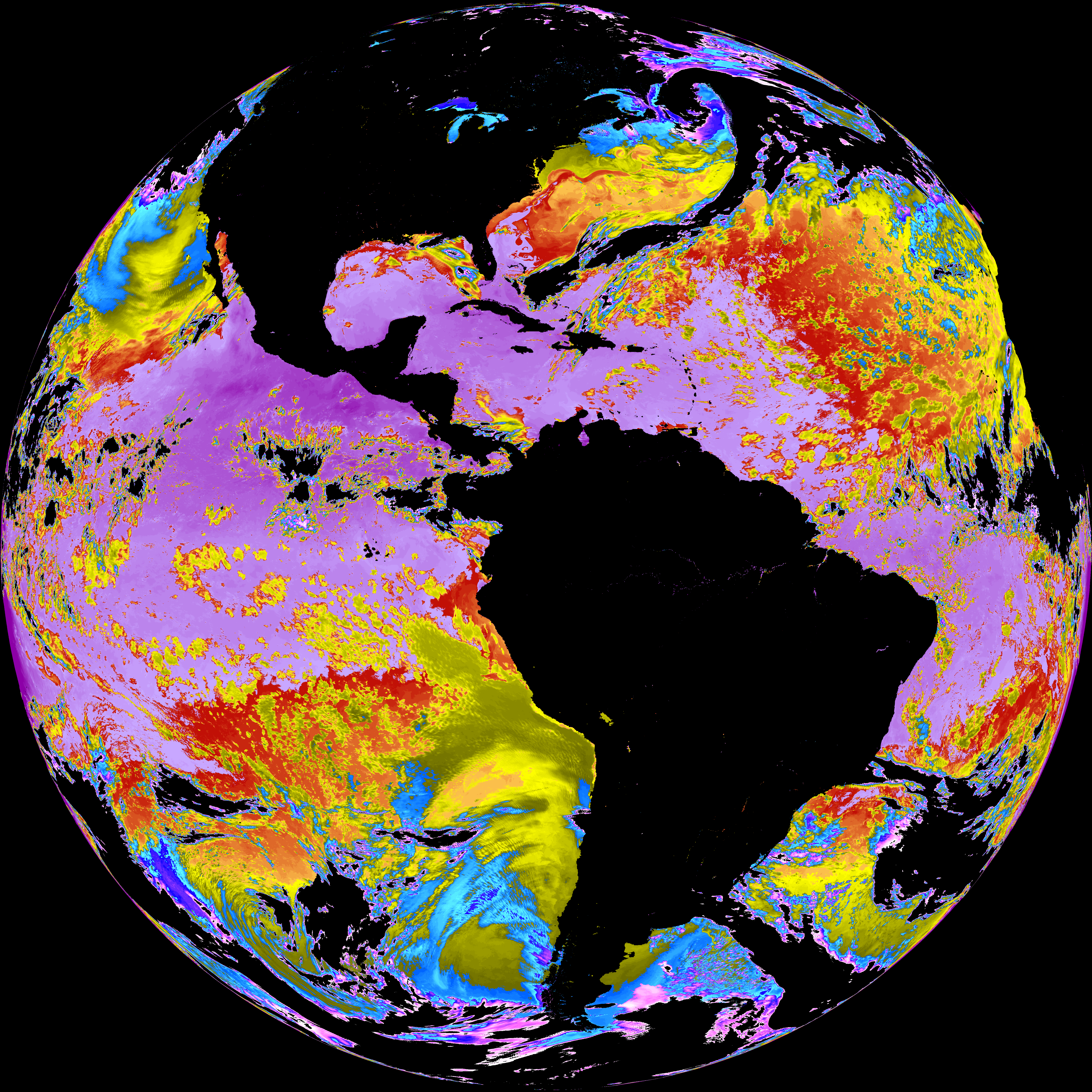
| abi_rgb_Sea_Surface_Temperature_map.png | 7607324 | 2026-May-16 19:10 |
| abi_rgb_Sea_Surface_Temperature.png | 7510999 | 2026-May-16 19:10 |
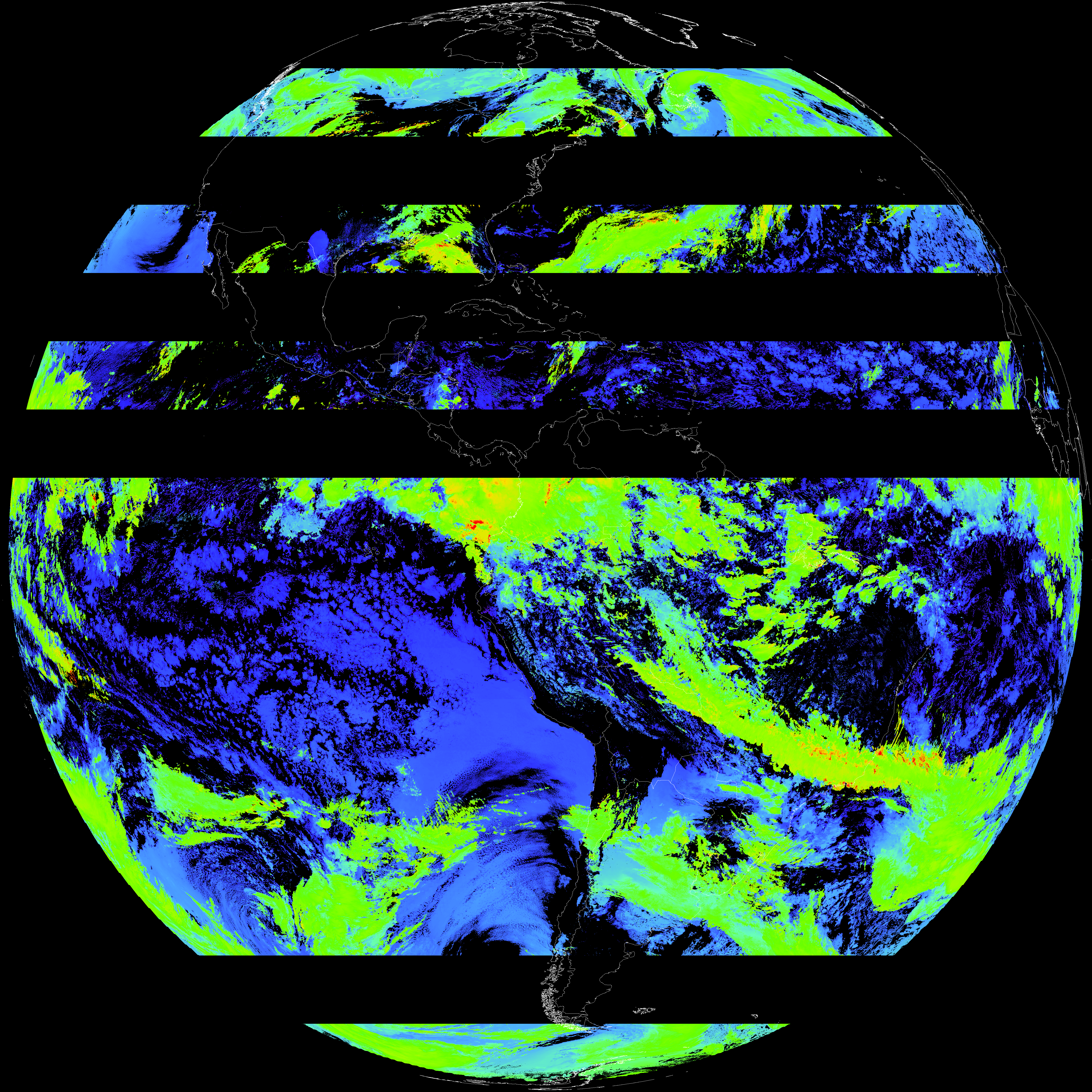
| G19_SST_20260516T180020Z.png | 7584508 | 2026-May-16 19:10 |
| abi_rgb_Cloud_top_Temperature_(ACHT)_map.png | 11721897 | 2026-May-16 19:06 |
| abi_rgb_Cloud_top_Temperature_(ACHT).png | 11607913 | 2026-May-16 19:06 |
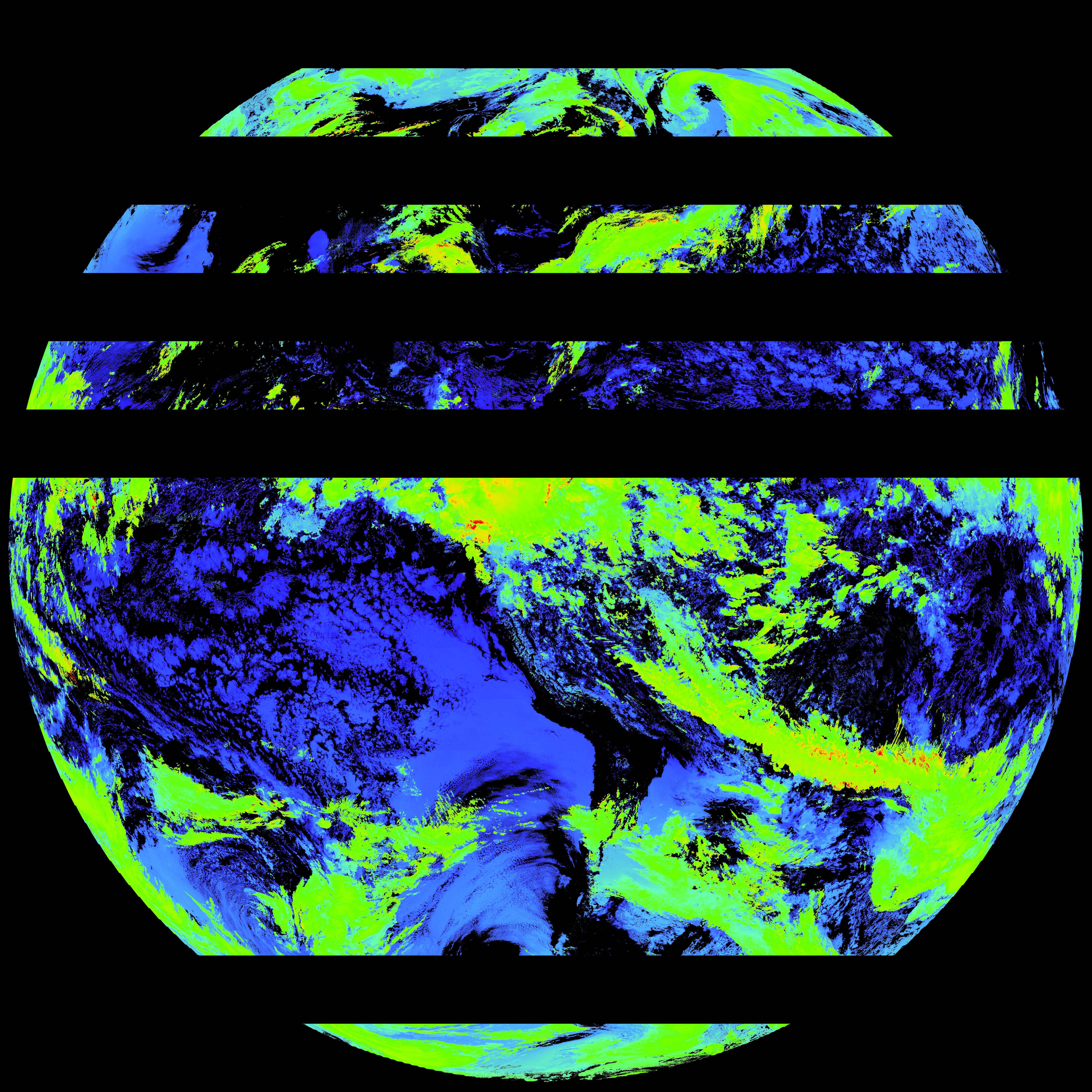
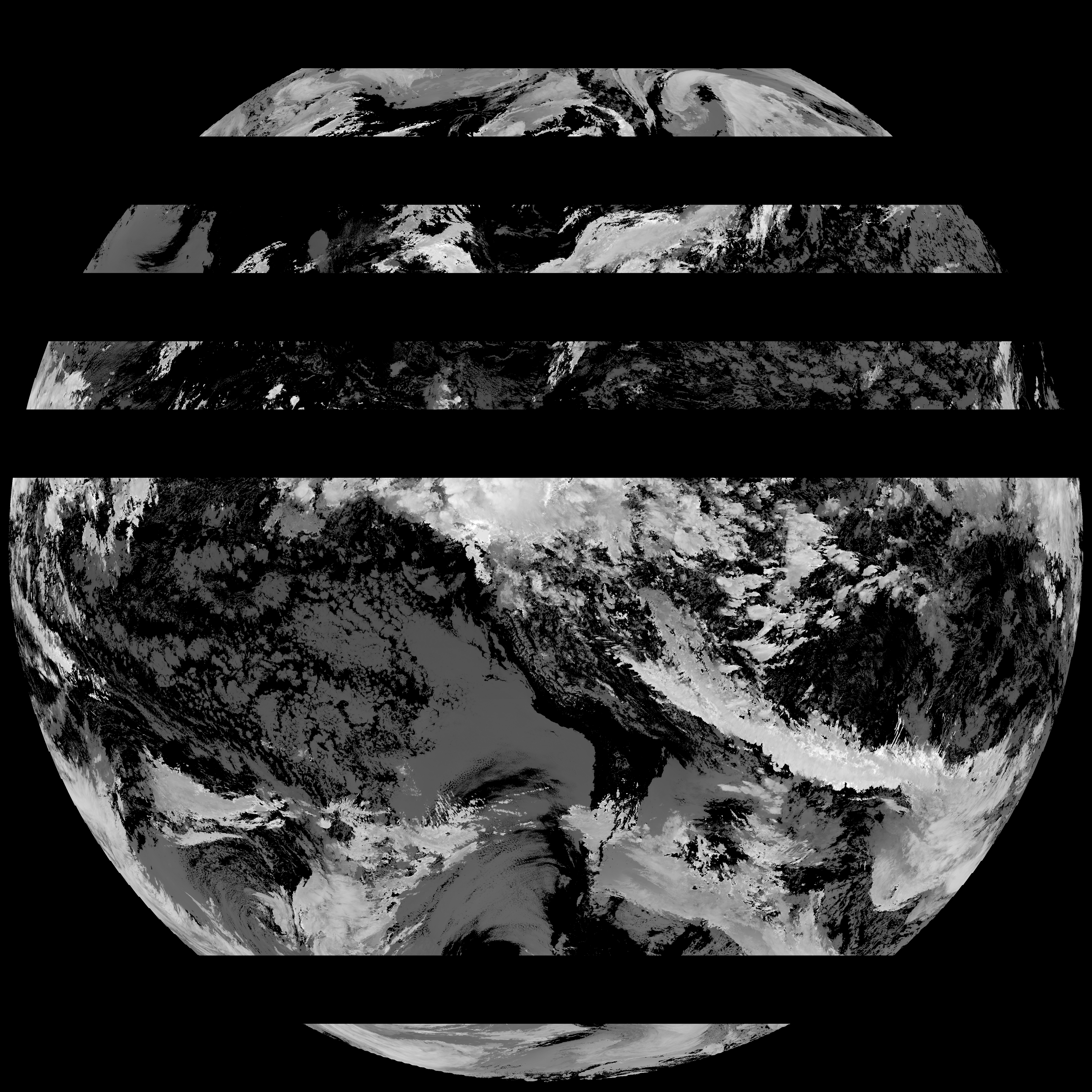
| G19_ACHT_20260516T180020Z.png | 8545983 | 2026-May-16 19:06 |
| abi_rgb_Derived_Stability_Indices_-_CAPE_map.png | 207571 | 2026-May-16 18:40 |
| abi_rgb_Derived_Stability_Indices_-_CAPE.png | 194425 | 2026-May-16 18:40 |
| G19_DSI_20260516T180020Z.png | 144603 | 2026-May-16 18:40 |