This directory hosts downlinked GOES products captured via SatDump. Content is organized by product family so operators and visitors can locate the feeds they need quickly.
| File Name ↓ | File Size ↓ | Date ↓ |
|---|---|---|
| Parent directory/ | - | - |
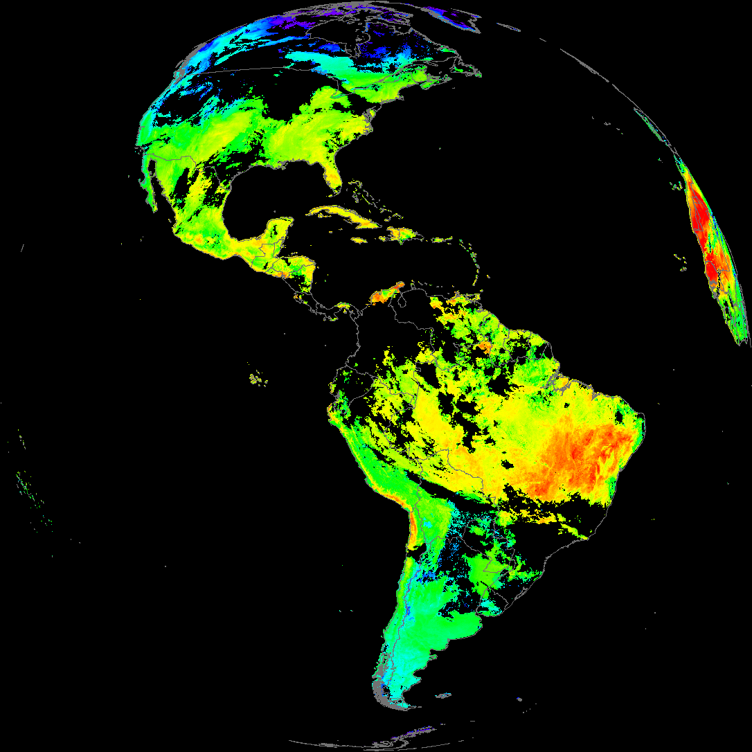
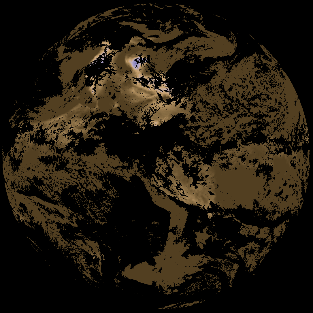
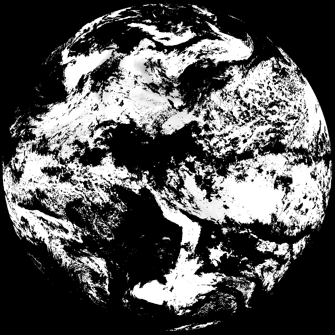
| abi_rgb_Land_Surface_Temperature_map.png | 179327 | 2026-May-17 15:12 |
| product.cbor | 621 | 2026-May-17 15:12 |
| abi_rgb_Land_Surface_Temperature.png | 173637 | 2026-May-17 15:12 |
| G19_LST_20260517T140021Z.png | 130524 | 2026-May-17 15:12 |
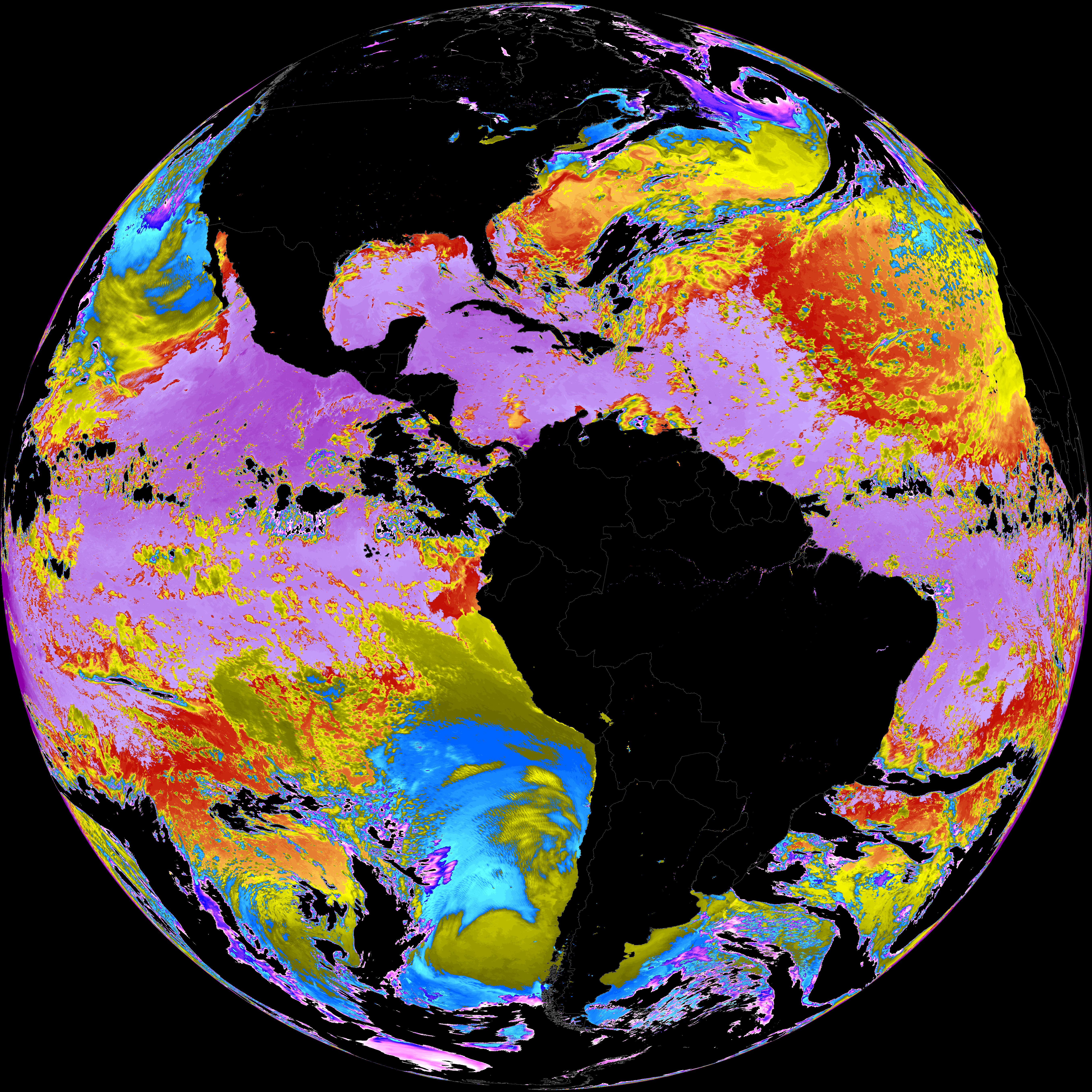
| abi_rgb_Sea_Surface_Temperature_map.png | 7535821 | 2026-May-17 15:09 |
| abi_rgb_Sea_Surface_Temperature.png | 7433940 | 2026-May-17 15:09 |
| G19_SST_20260517T140021Z.png | 7565446 | 2026-May-17 15:09 |
| abi_rgb_Derived_Stability_Indices_-_CAPE_map.png | 190393 | 2026-May-17 14:37 |
| abi_rgb_Derived_Stability_Indices_-_CAPE.png | 176329 | 2026-May-17 14:37 |
| G19_DSI_20260517T140021Z.png | 133199 | 2026-May-17 14:37 |
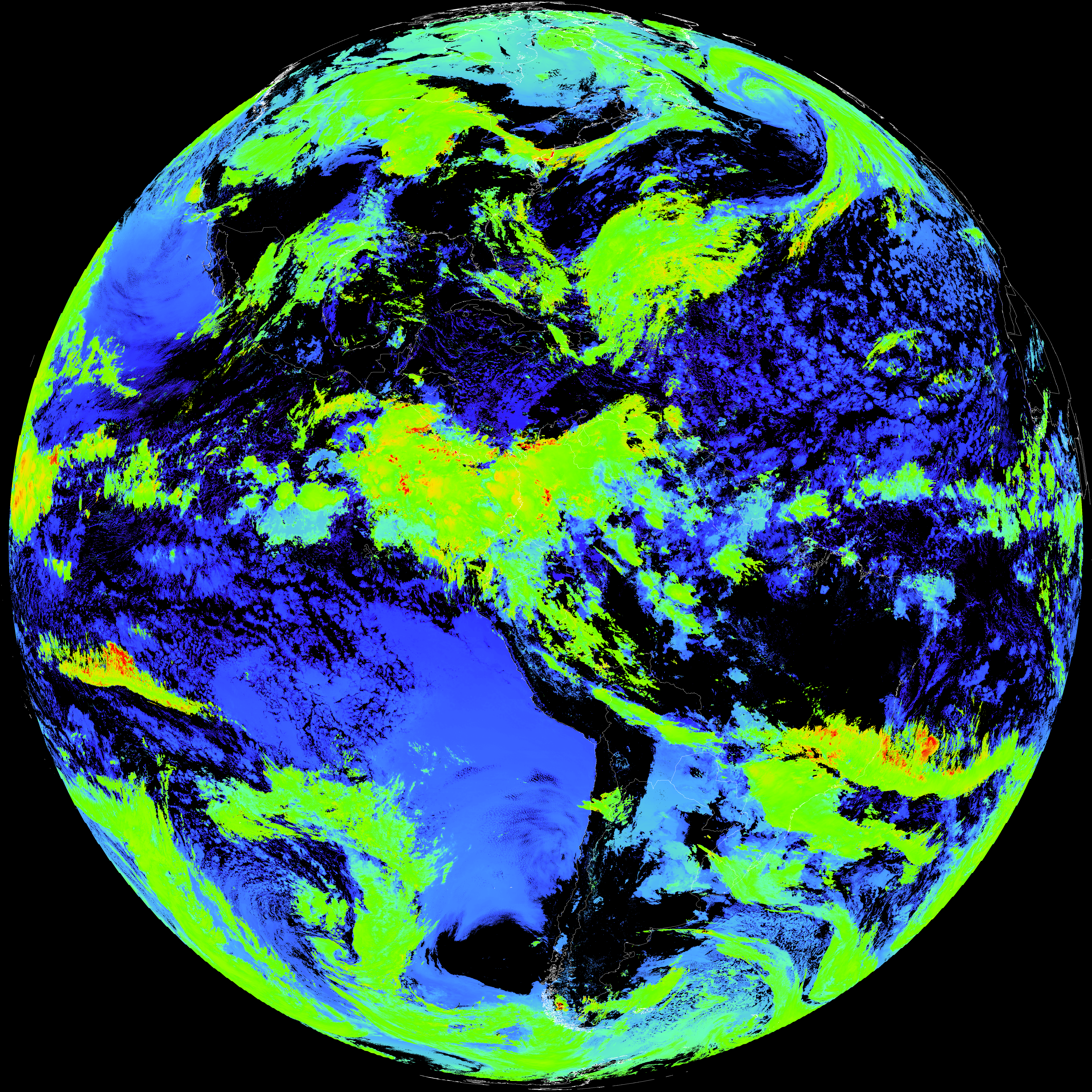
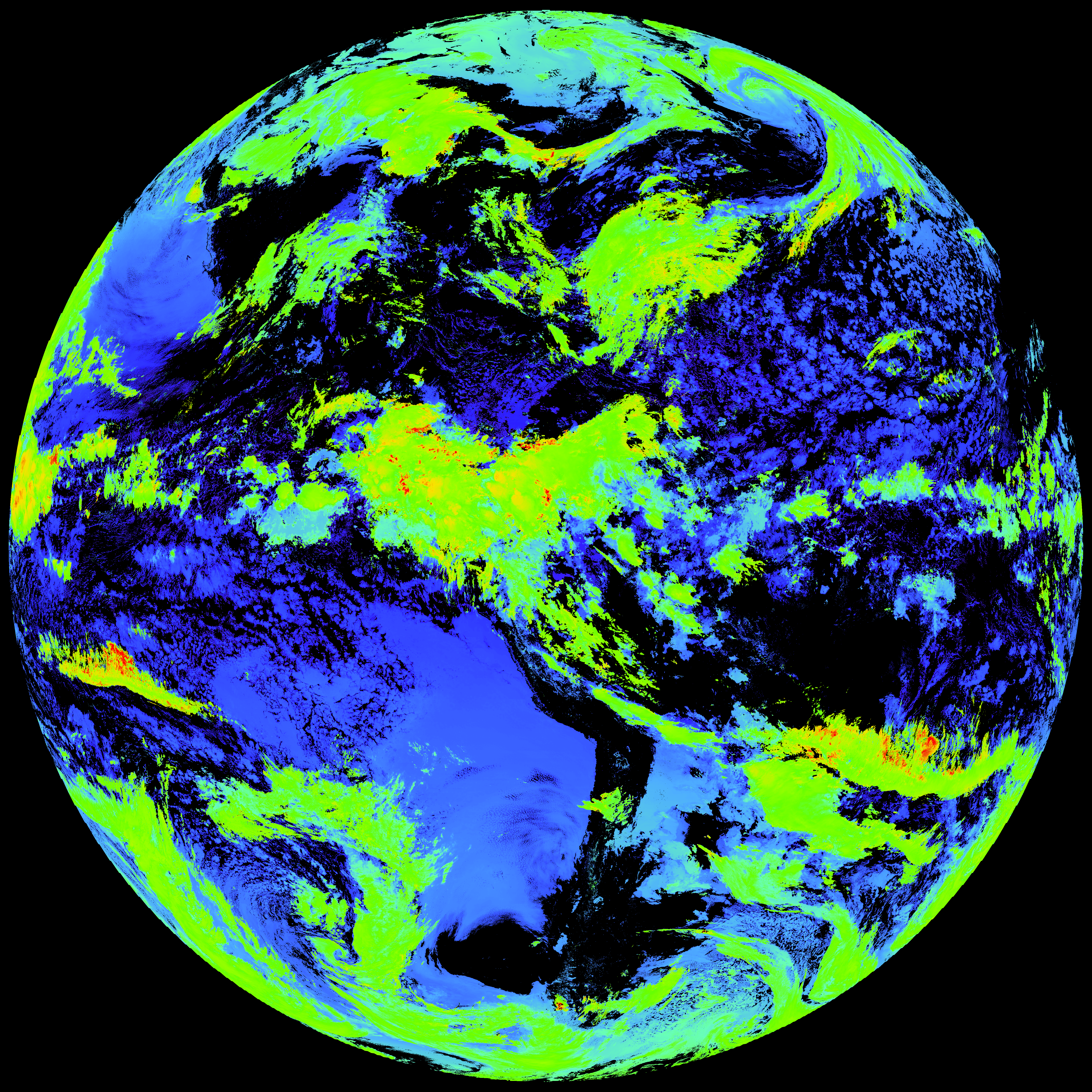
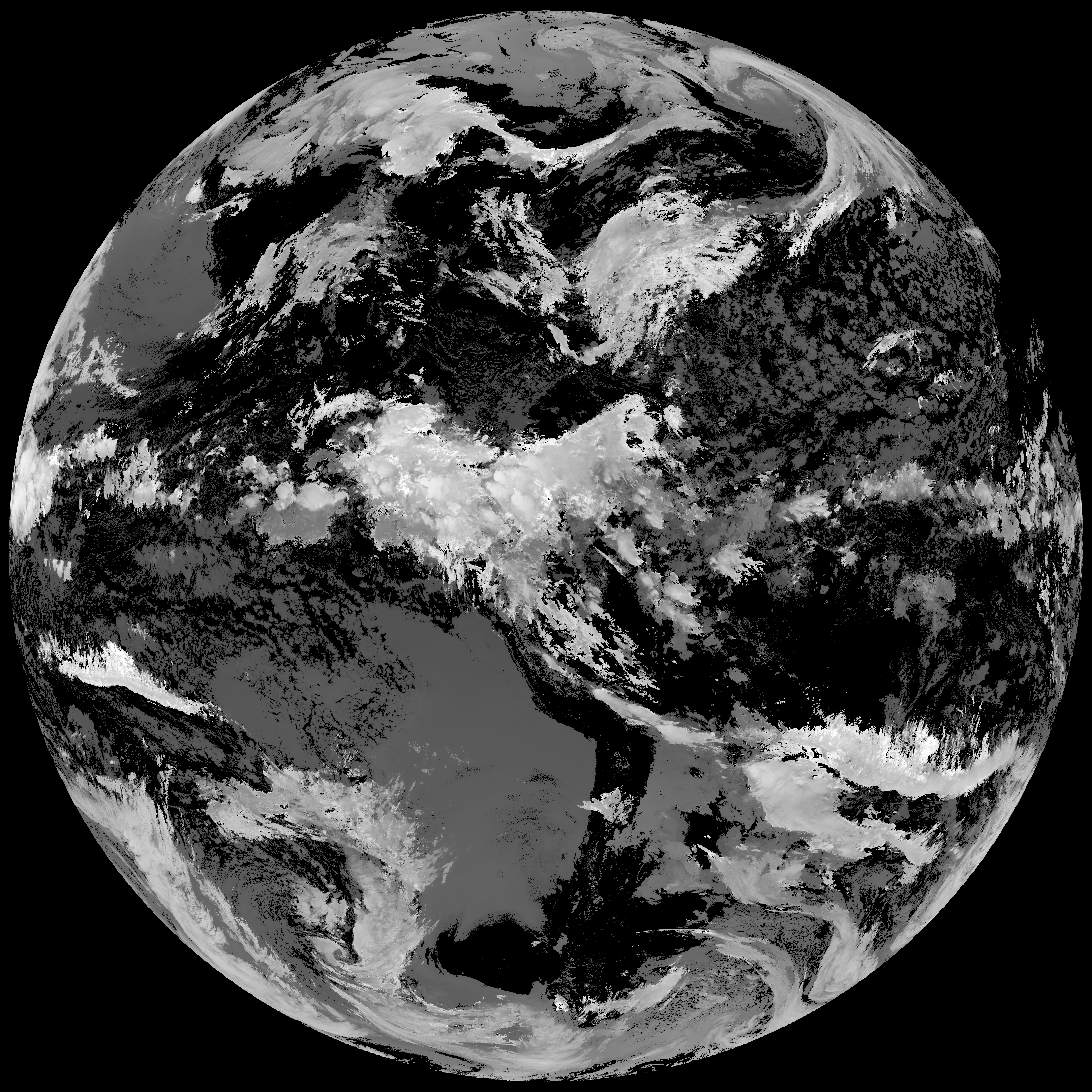
| abi_rgb_Cloud_top_Temperature_(ACHT)_map.png | 15499481 | 2026-May-17 14:37 |
| abi_rgb_Cloud_top_Temperature_(ACHT).png | 15417026 | 2026-May-17 14:37 |
| G19_ACHT_20260517T140021Z.png | 11399214 | 2026-May-17 14:37 |