This directory hosts downlinked GOES products captured via SatDump. Content is organized by product family so operators and visitors can locate the feeds they need quickly.
| File Name ↓ | File Size ↓ | Date ↓ |
|---|---|---|
| Parent directory/ | - | - |
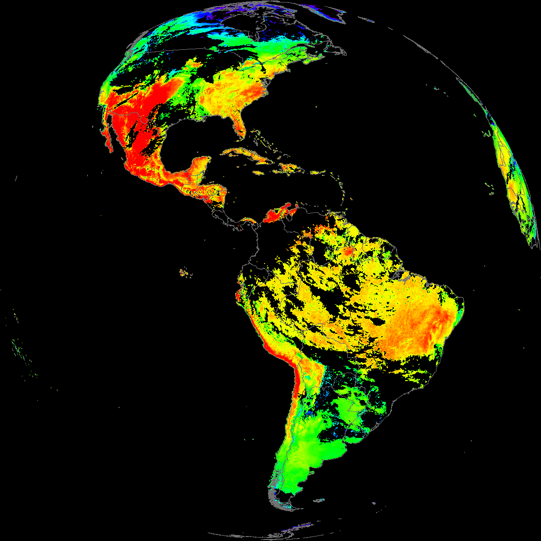
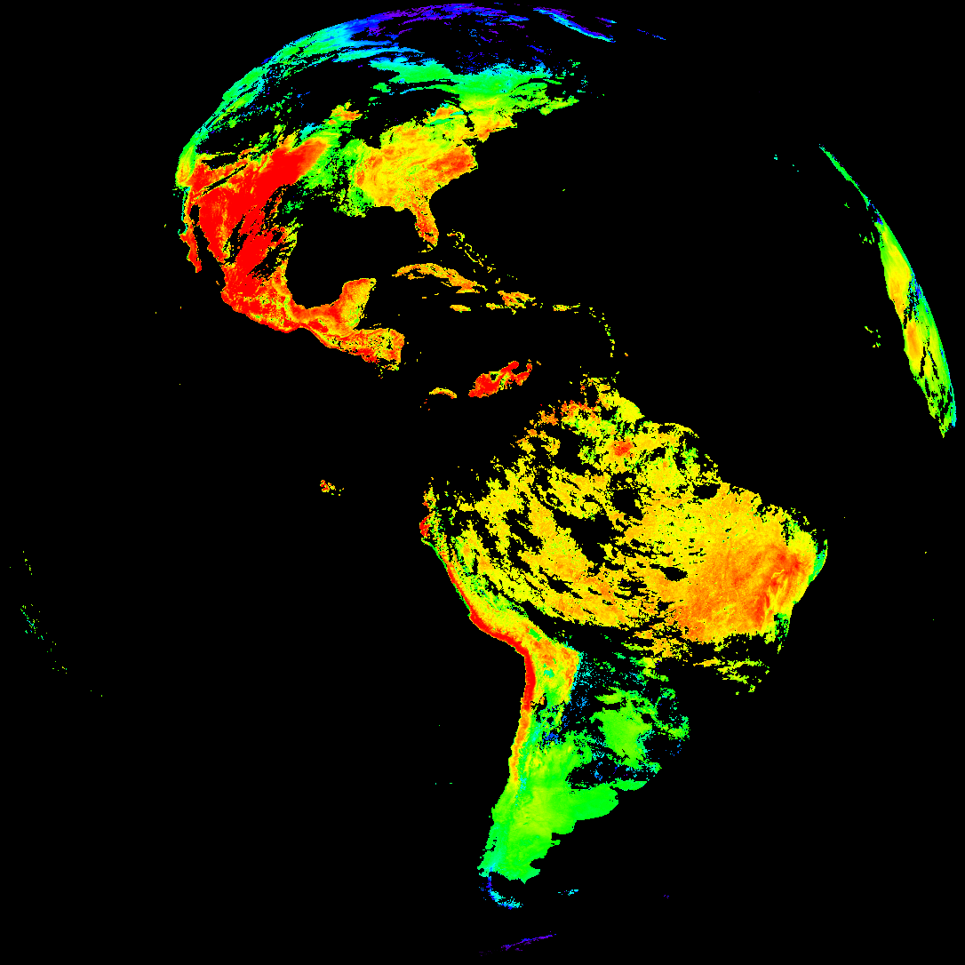
| abi_rgb_Land_Surface_Temperature_map.png | 183389 | 2026-May-17 19:12 |
| abi_rgb_Land_Surface_Temperature.png | 177704 | 2026-May-17 19:12 |
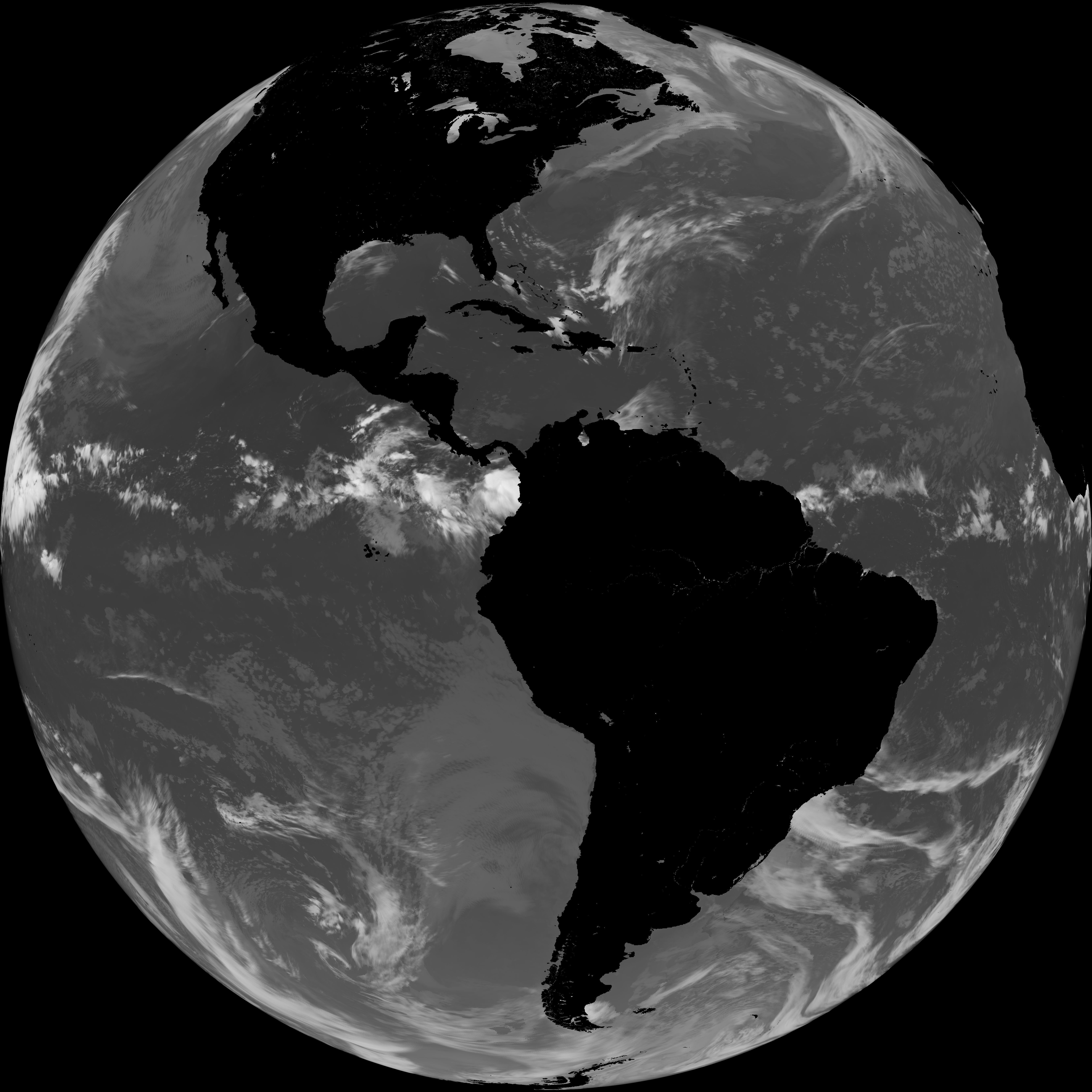
| G19_LST_20260517T180020Z.png | 136353 | 2026-May-17 19:12 |
| product.cbor | 621 | 2026-May-17 19:12 |
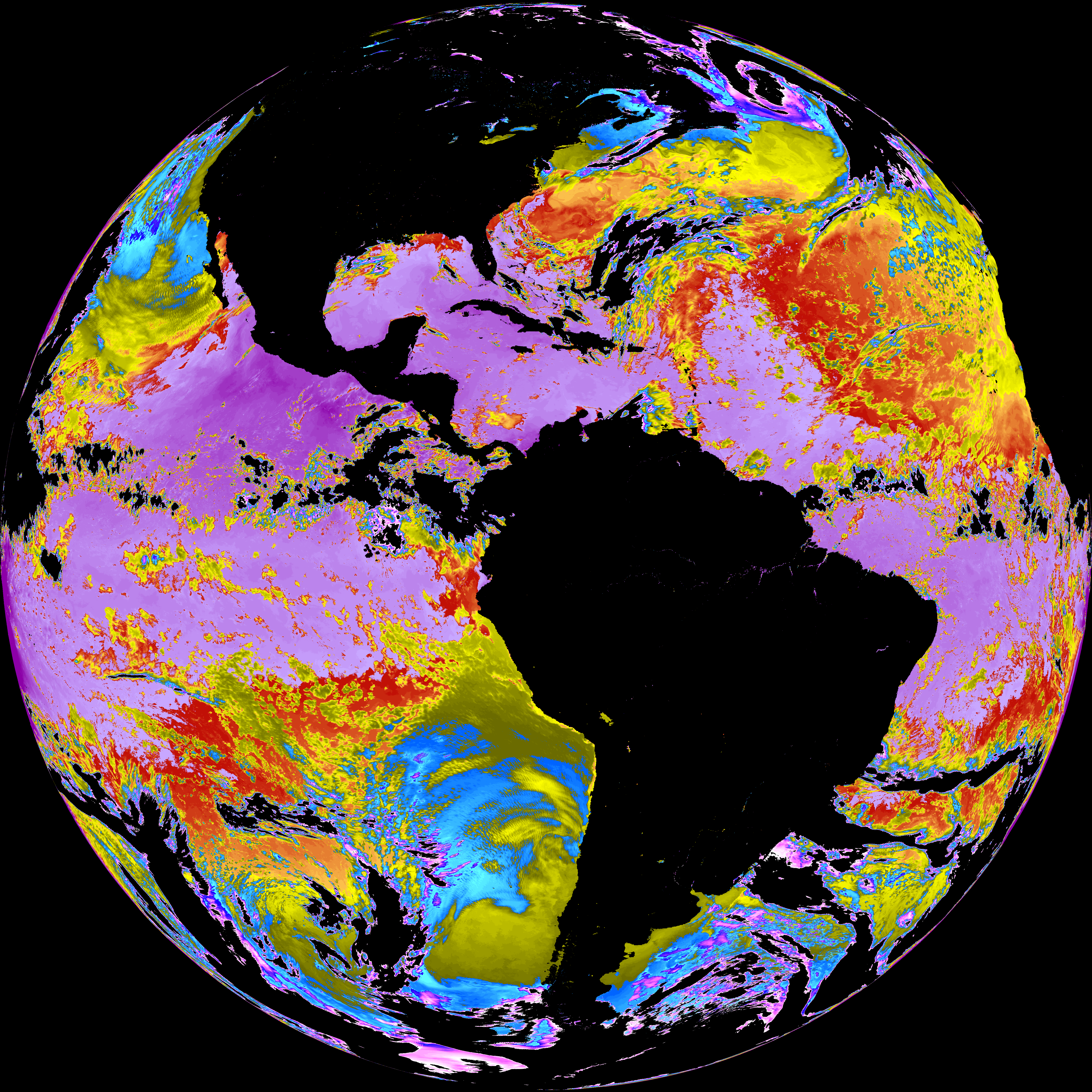
| abi_rgb_Sea_Surface_Temperature_map.png | 7516885 | 2026-May-17 19:10 |
| abi_rgb_Sea_Surface_Temperature.png | 7417043 | 2026-May-17 19:10 |
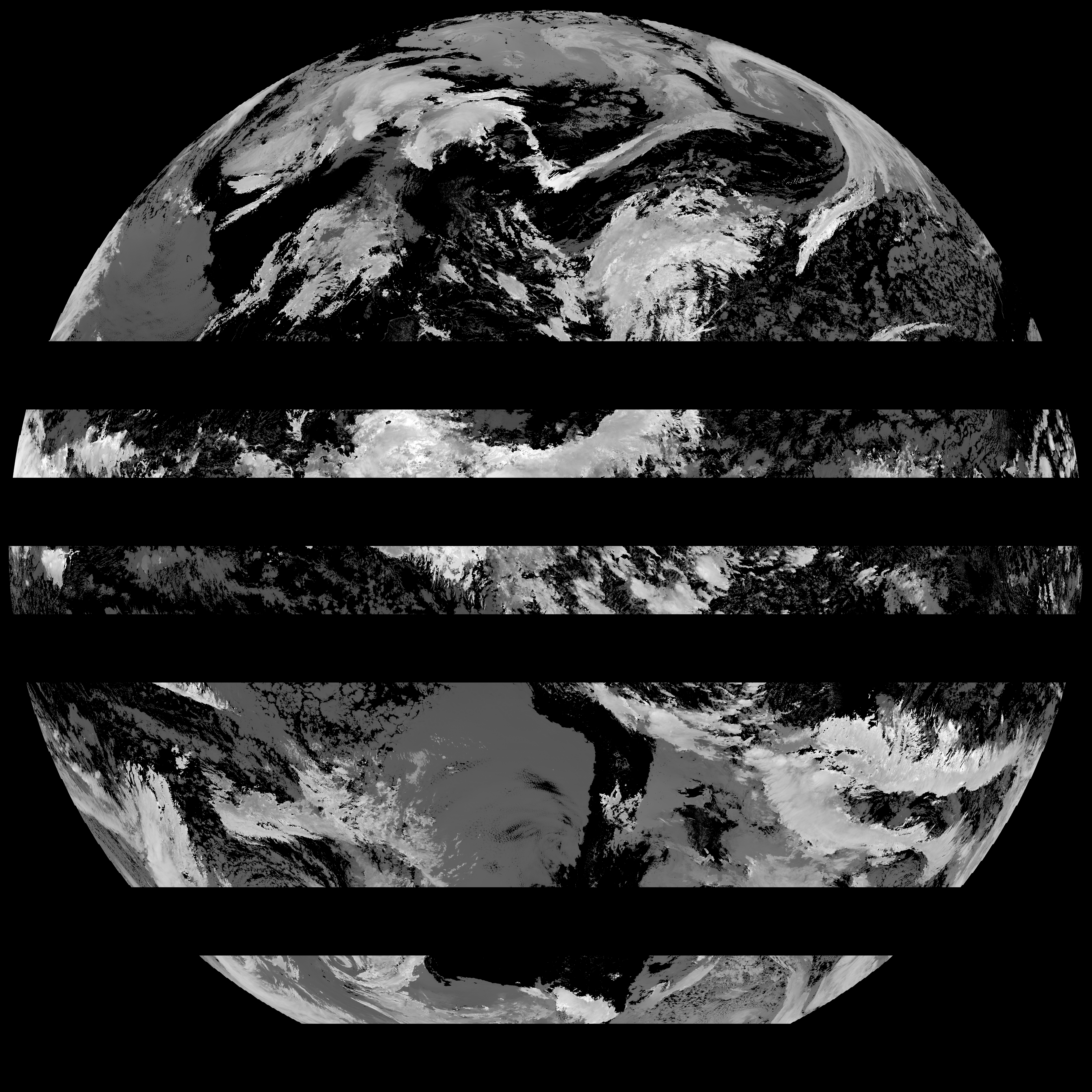
| G19_SST_20260517T180020Z.png | 7586276 | 2026-May-17 19:10 |
| abi_rgb_Cloud_top_Temperature_(ACHT)_map.png | 11174657 | 2026-May-17 19:06 |
| abi_rgb_Cloud_top_Temperature_(ACHT).png | 11073961 | 2026-May-17 19:06 |
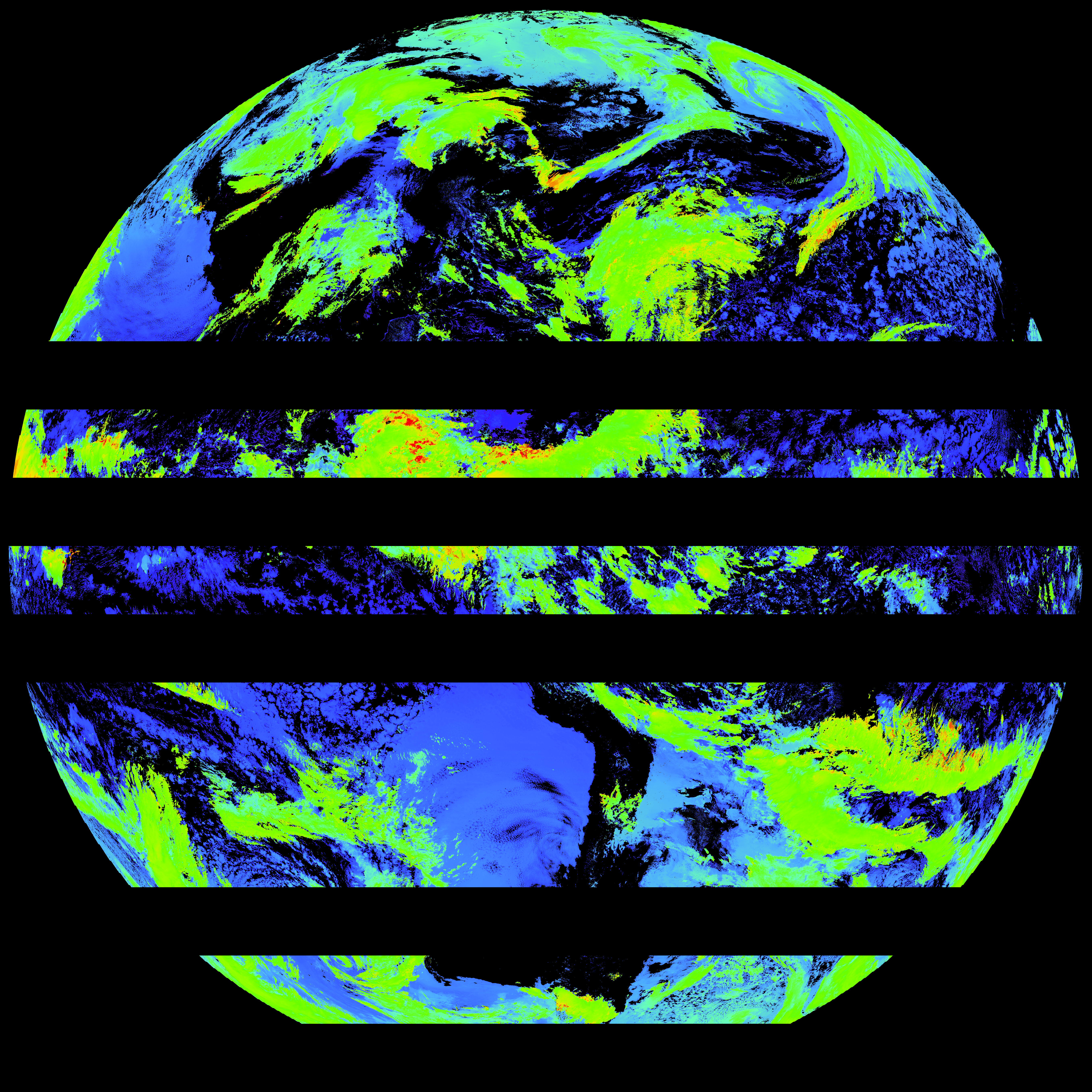
| G19_ACHT_20260517T180020Z.png | 8140393 | 2026-May-17 19:06 |
| abi_rgb_Derived_Stability_Indices_-_CAPE_map.png | 204863 | 2026-May-17 18:40 |
| abi_rgb_Derived_Stability_Indices_-_CAPE.png | 191597 | 2026-May-17 18:40 |
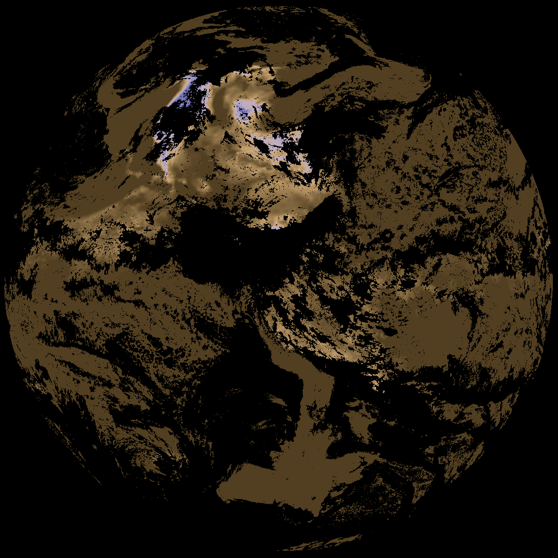
| G19_DSI_20260517T180020Z.png | 143176 | 2026-May-17 18:40 |