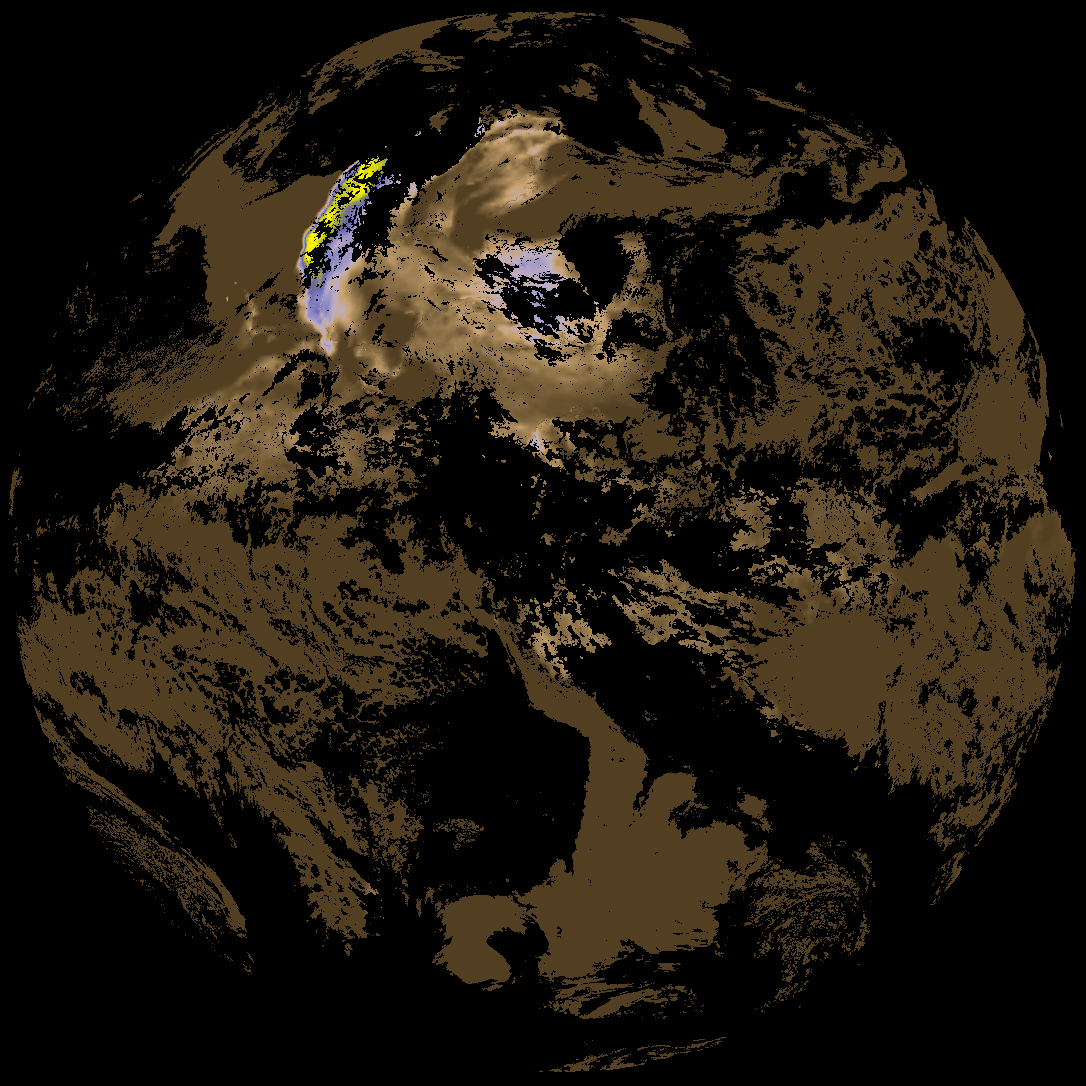
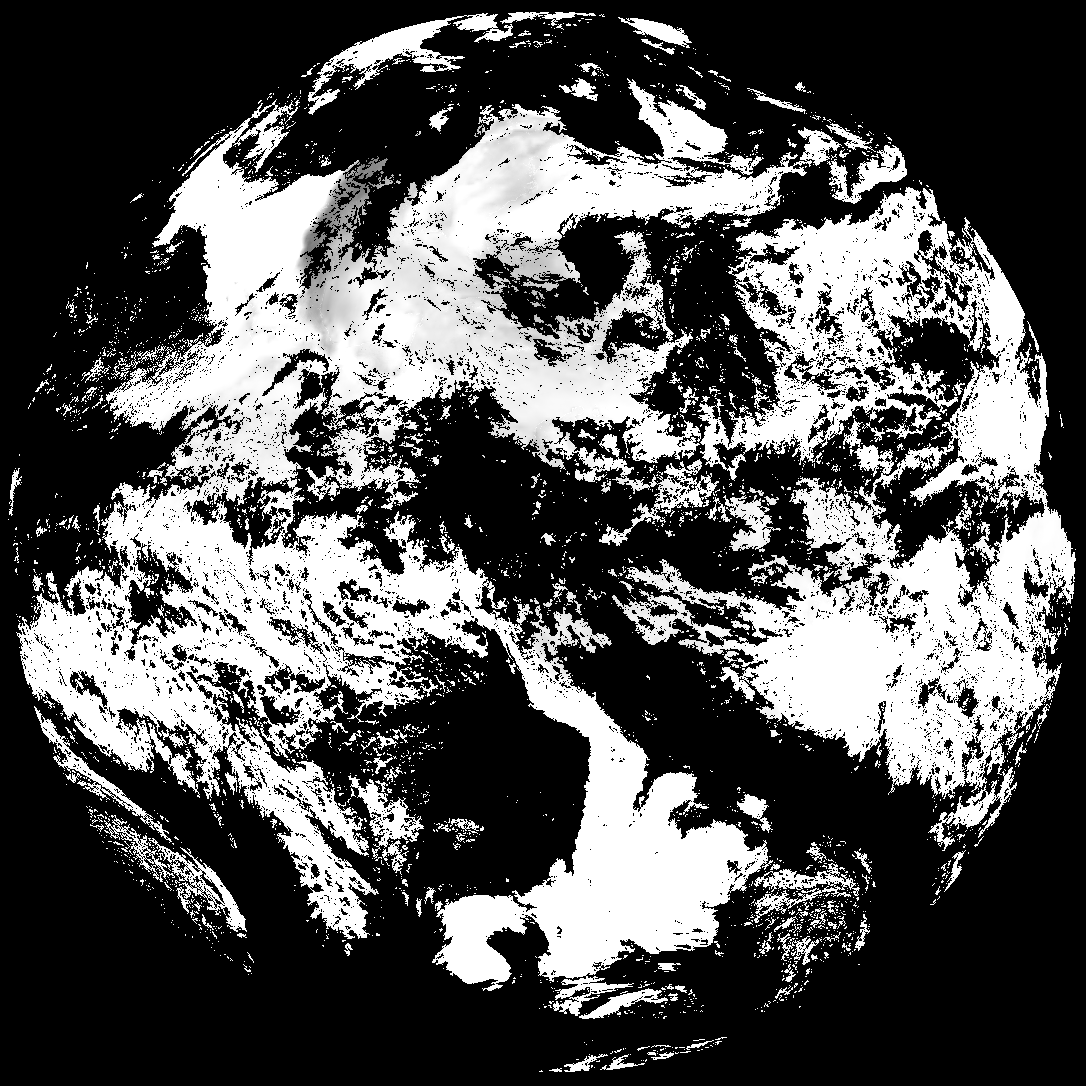
This directory hosts downlinked GOES products captured via SatDump. Content is organized by product family so operators and visitors can locate the feeds they need quickly.
| File Name ↓ | File Size ↓ | Date ↓ |
|---|---|---|
| Parent directory/ | - | - |
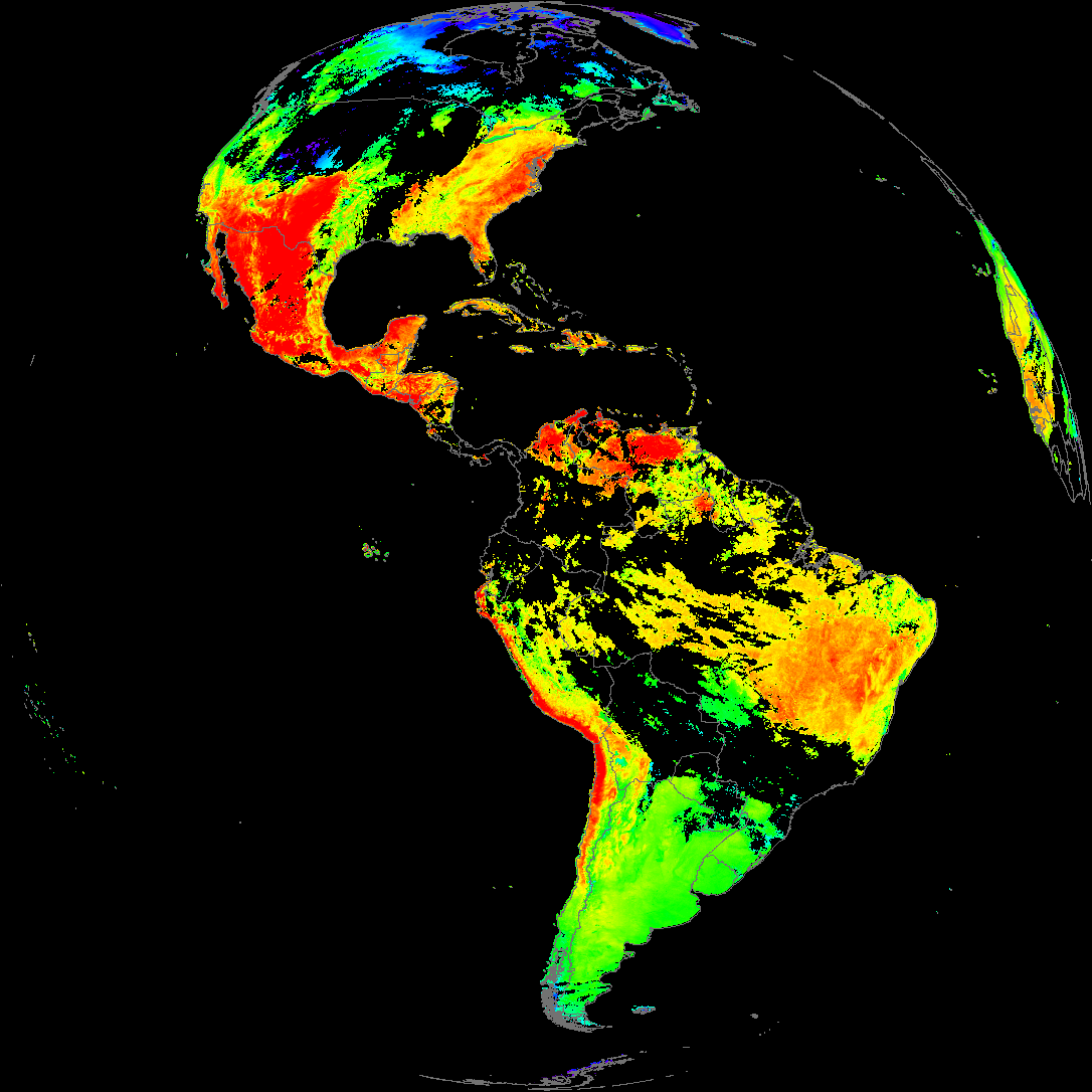
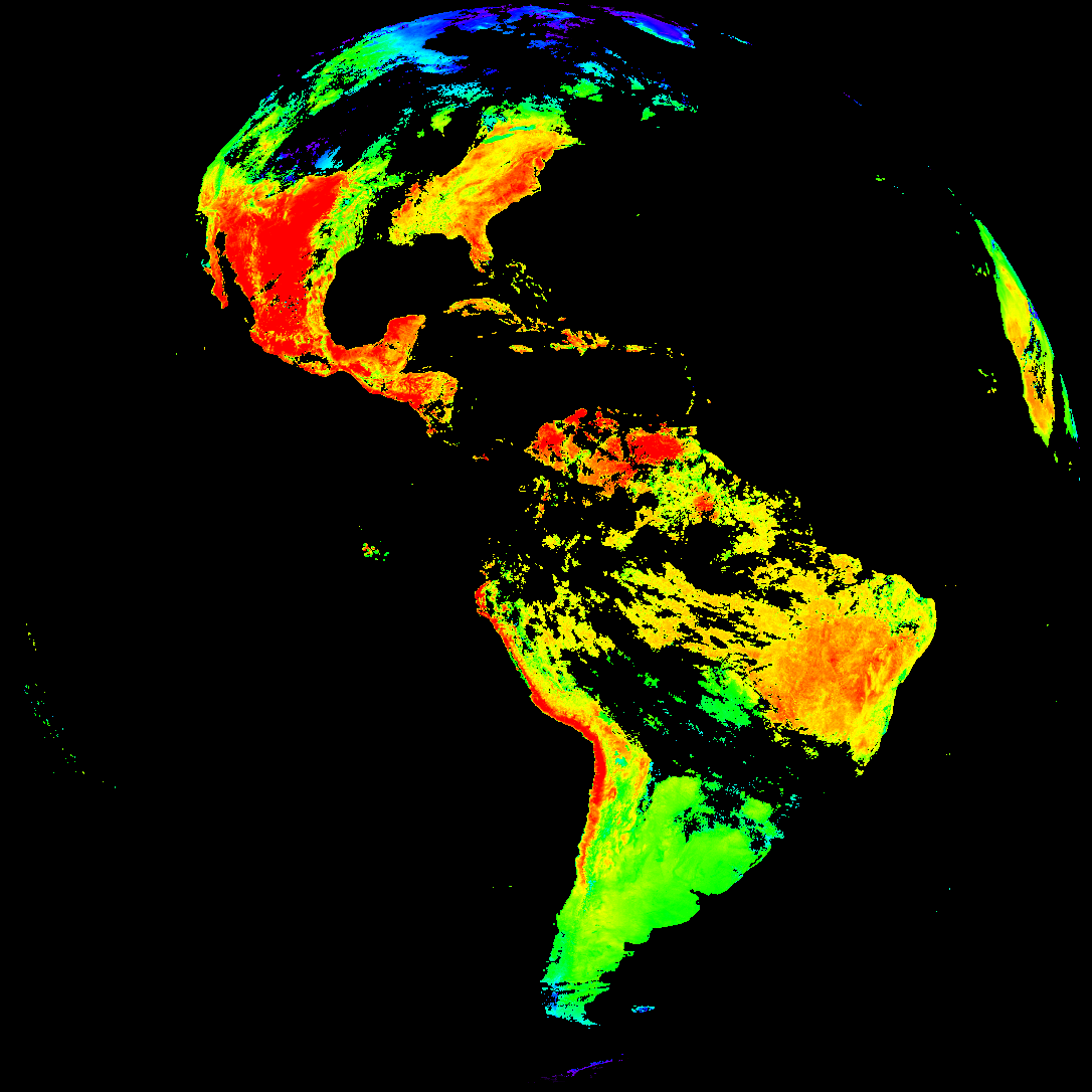
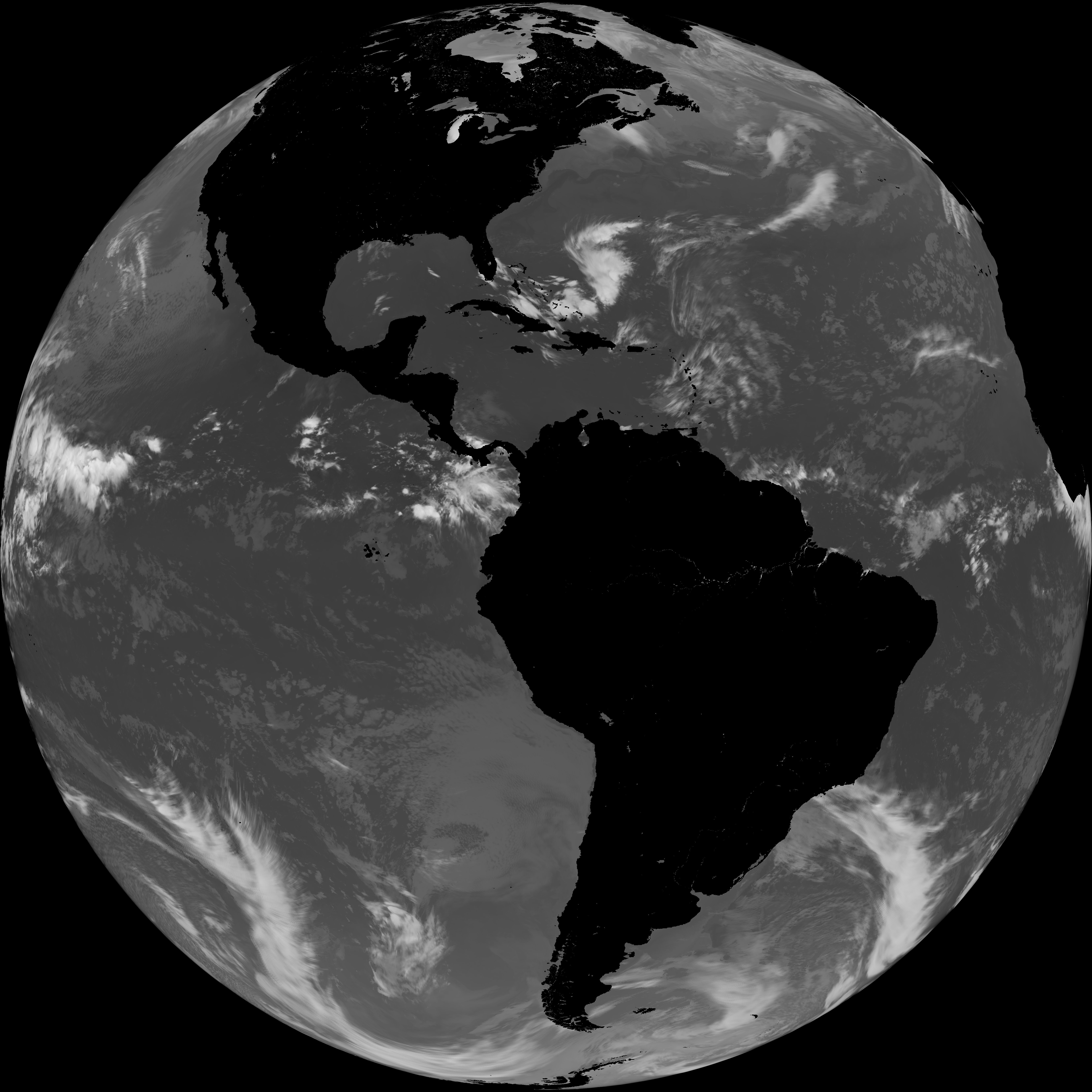
| abi_rgb_Land_Surface_Temperature_map.png | 177591 | 2026-May-18 19:12 |
| G19_LST_20260518T180020Z.png | 131465 | 2026-May-18 19:12 |
| product.cbor | 621 | 2026-May-18 19:12 |
| abi_rgb_Land_Surface_Temperature.png | 170619 | 2026-May-18 19:12 |
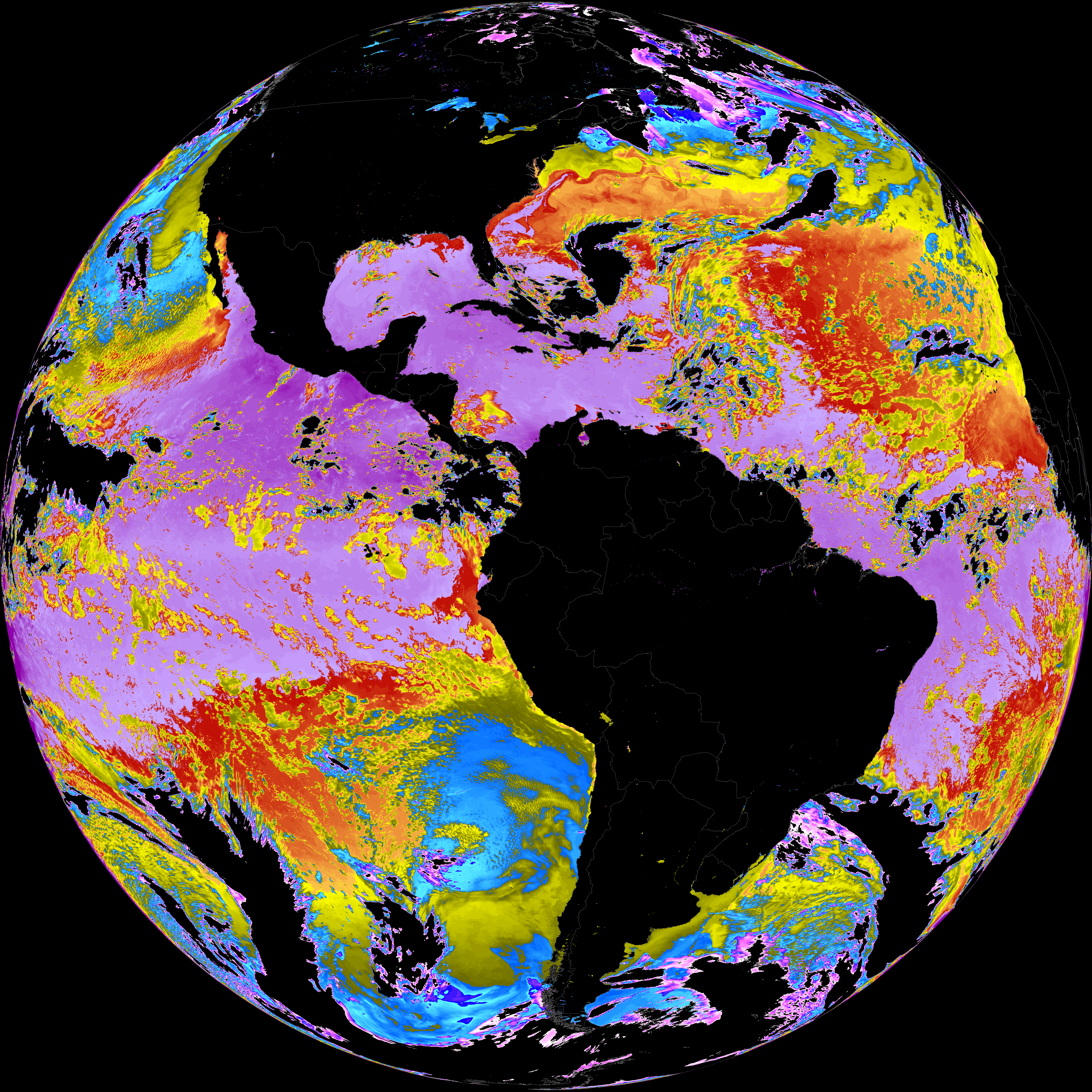
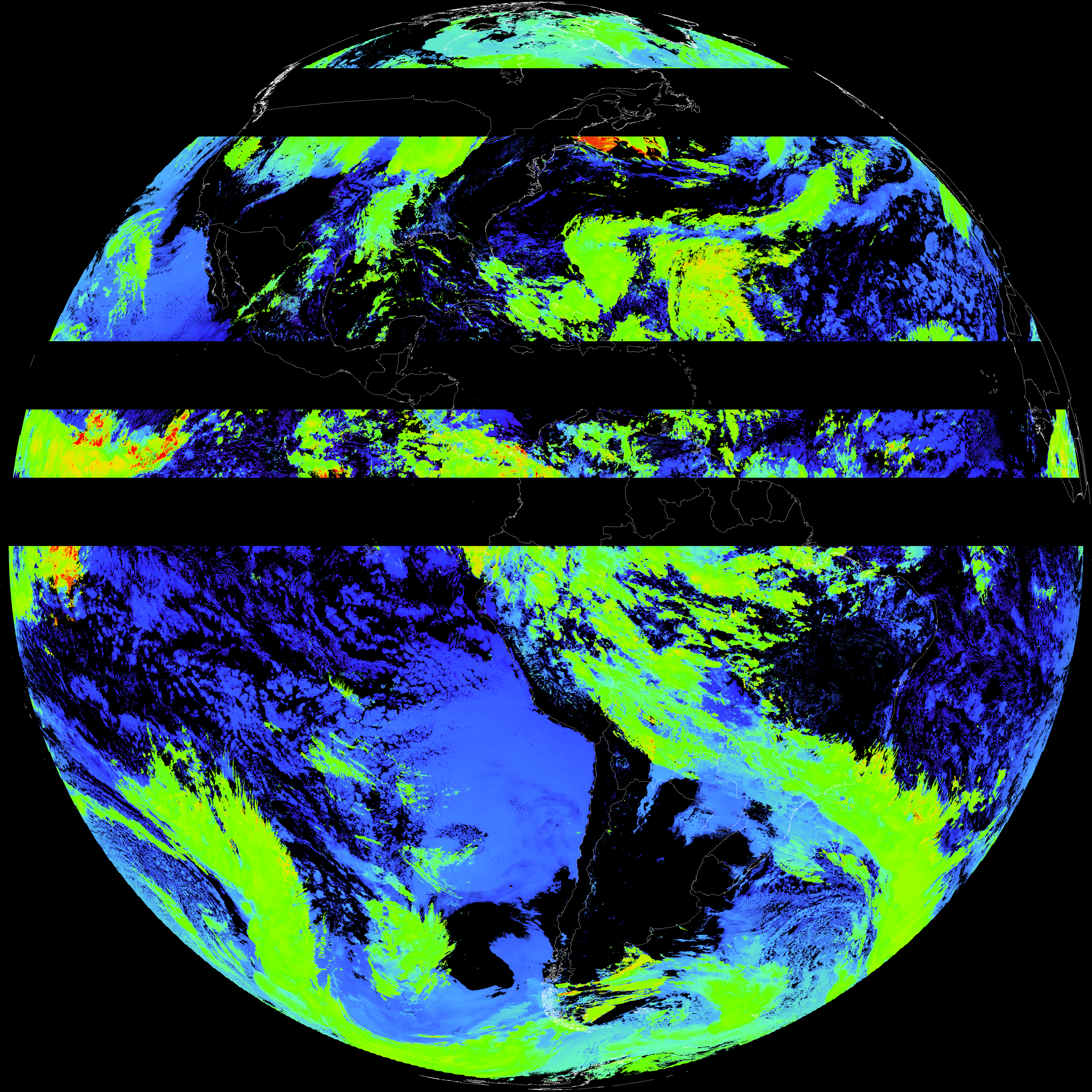
| abi_rgb_Sea_Surface_Temperature_map.png | 7618508 | 2026-May-18 19:10 |
| abi_rgb_Sea_Surface_Temperature.png | 7520291 | 2026-May-18 19:10 |
| G19_SST_20260518T180020Z.png | 7440846 | 2026-May-18 19:10 |
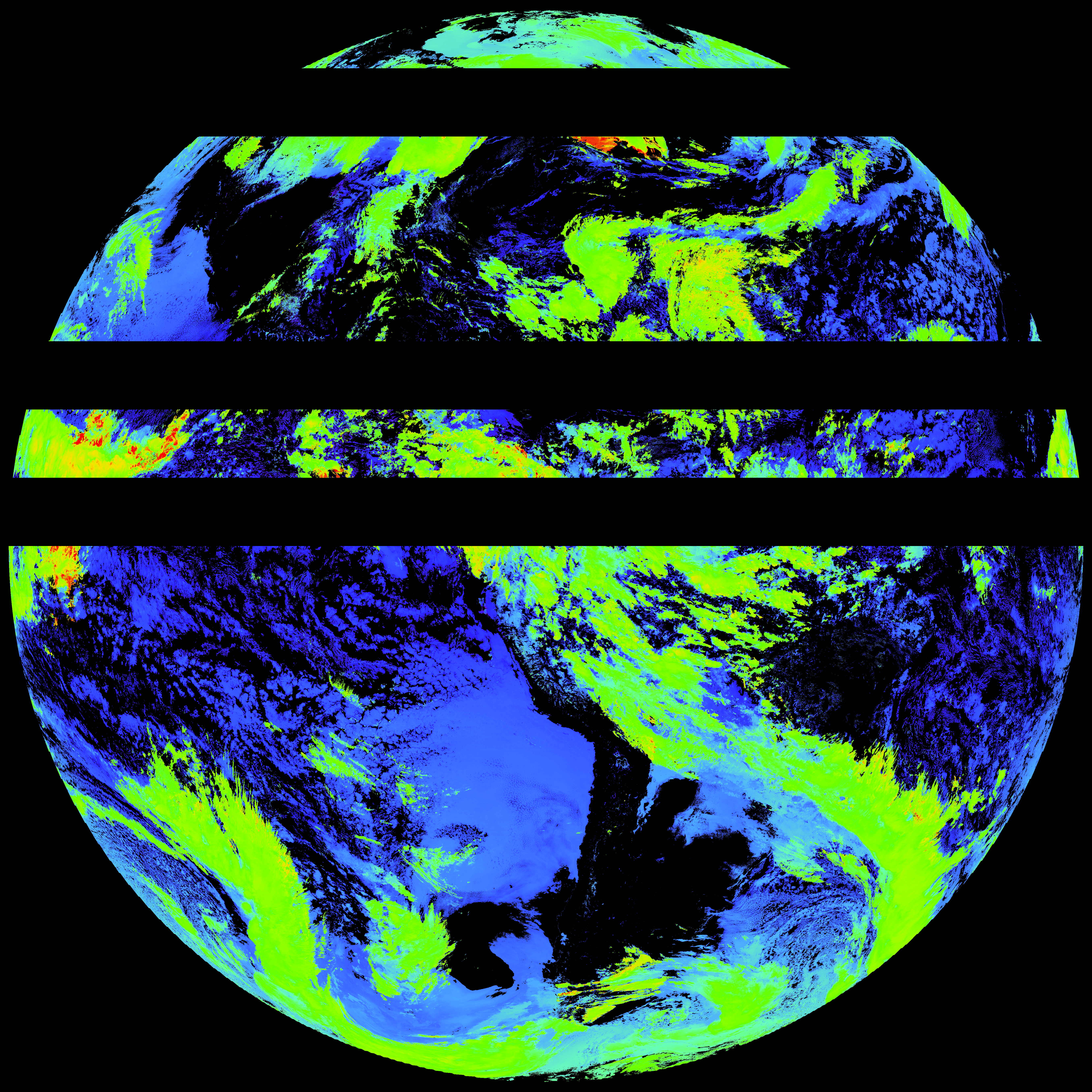
| abi_rgb_Cloud_top_Temperature_(ACHT)_map.png | 12238477 | 2026-May-18 19:06 |
| abi_rgb_Cloud_top_Temperature_(ACHT).png | 12130180 | 2026-May-18 19:06 |
| G19_ACHT_20260518T180020Z.png | 8935683 | 2026-May-18 19:06 |
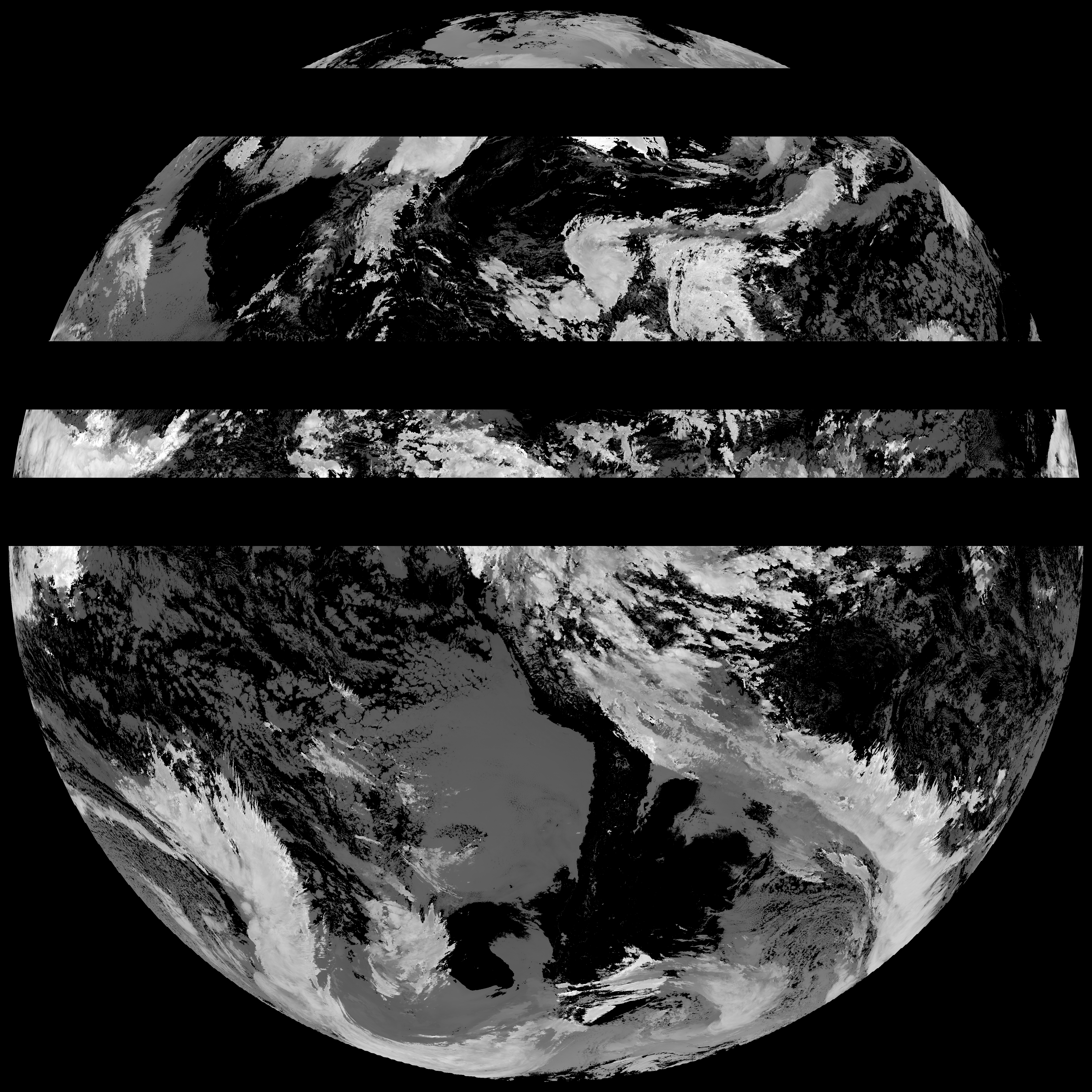
| abi_rgb_Derived_Stability_Indices_-_CAPE_map.png | 203307 | 2026-May-18 18:40 |
| abi_rgb_Derived_Stability_Indices_-_CAPE.png | 189914 | 2026-May-18 18:40 |
| G19_DSI_20260518T180020Z.png | 140152 | 2026-May-18 18:40 |